| NAD83 COORDINATES (1986 adj.): |
|---|
| * X= 548119.56 Y= 173189.98 Z= 0 LSQ 10/18/1991 M FLT |
| 12/3/2009 | Photos taken. |
| 11/30/2009 | Placed ties on the CIM. See CofL 0002-1505-A.pdf |
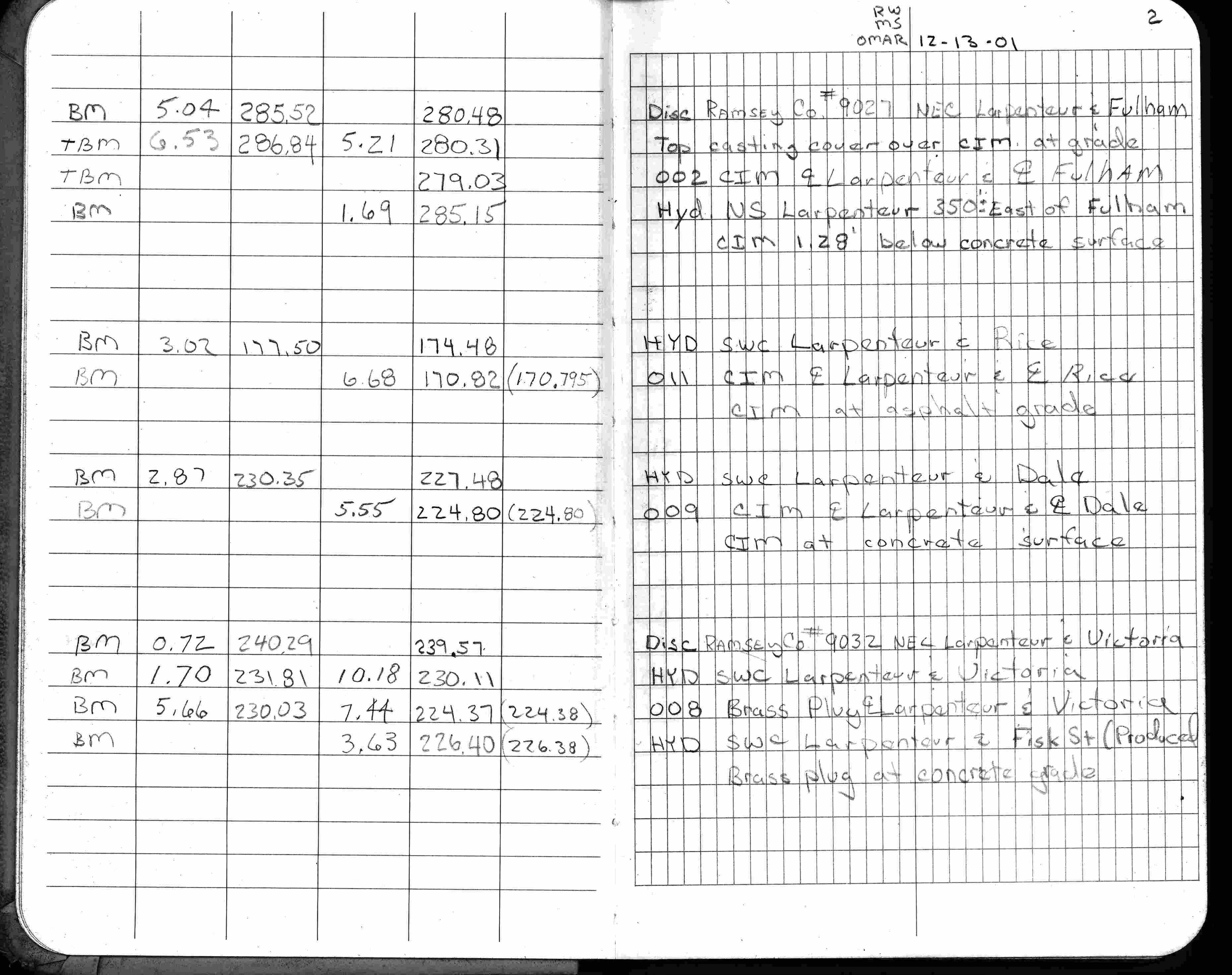
| 12/13/2001 | Elev 279.03 ft on CIM in casting, 1.28 ft below existing surface. See FB 1736 p.2 |
| 3/25/1991 | Recovered CIM at grade in concrete pavement. See CofL 0002-1505-A |
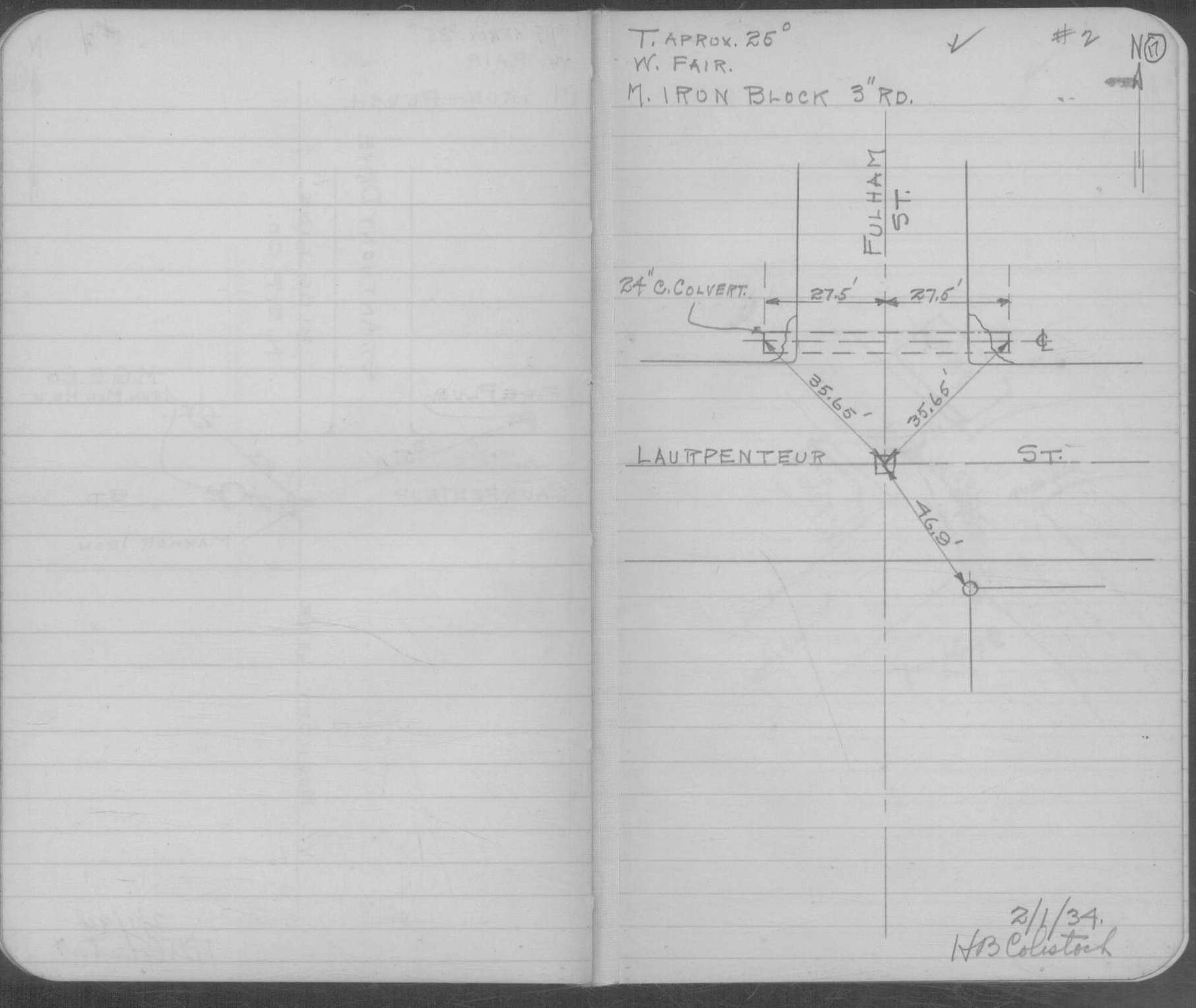
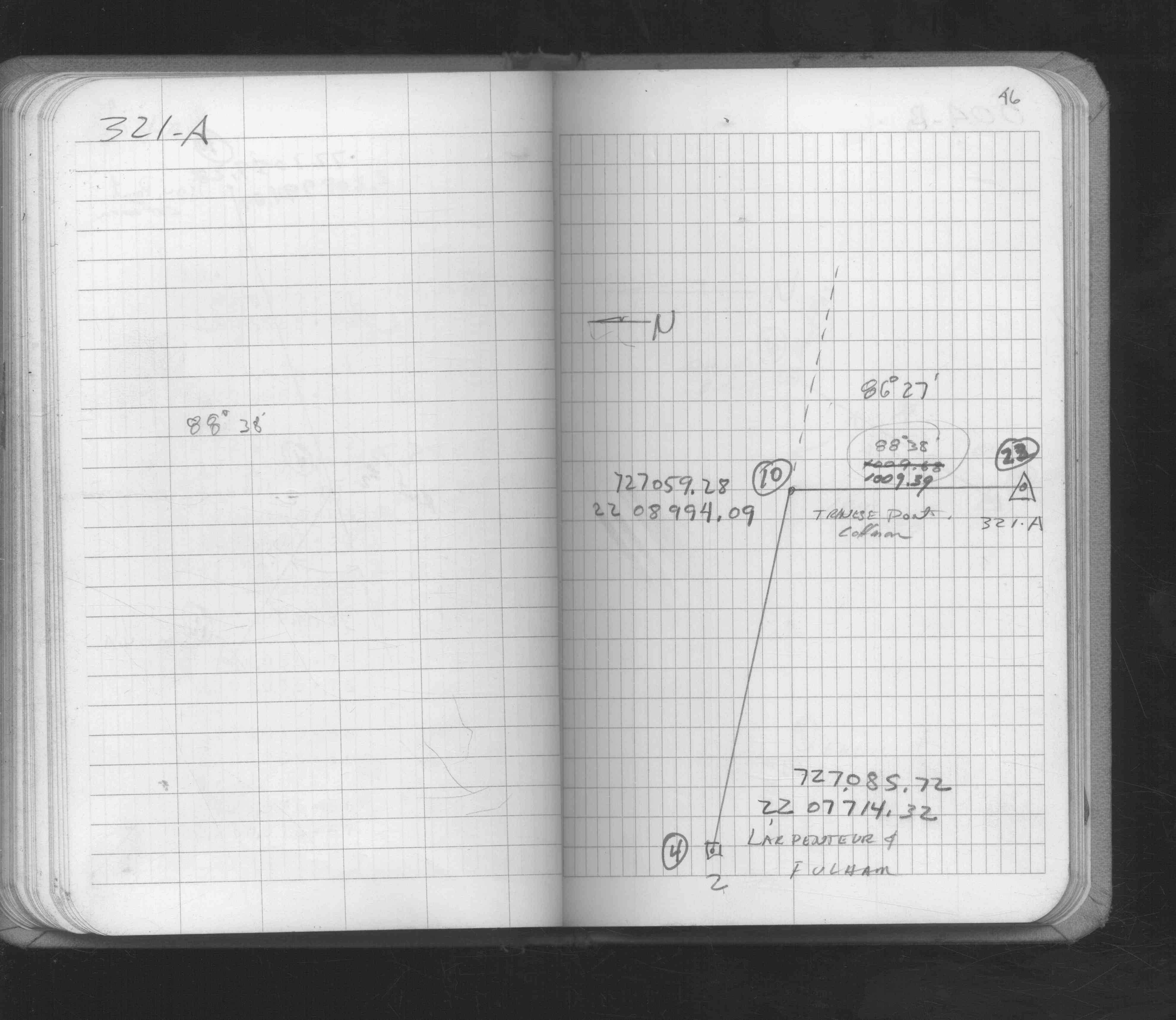
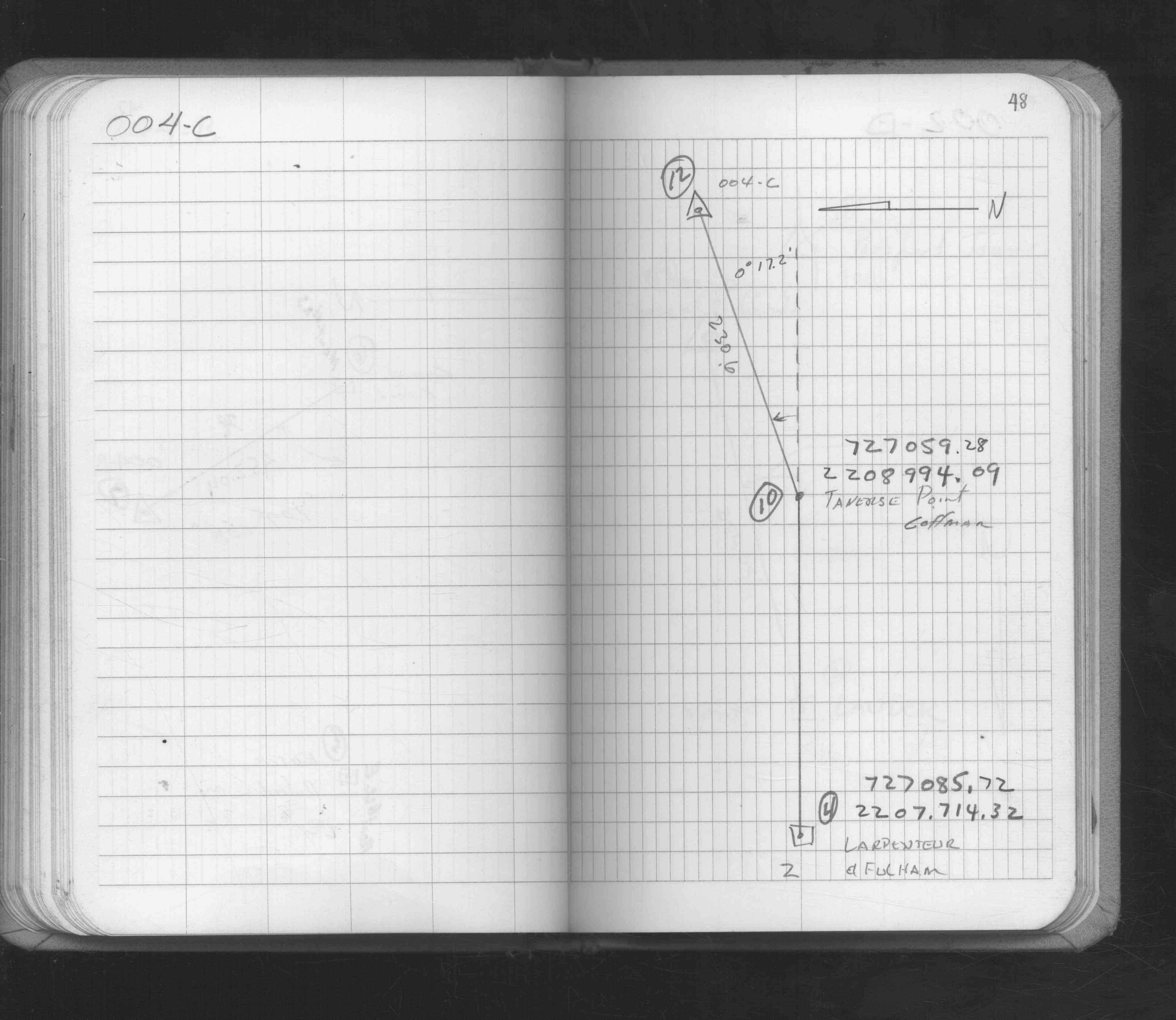
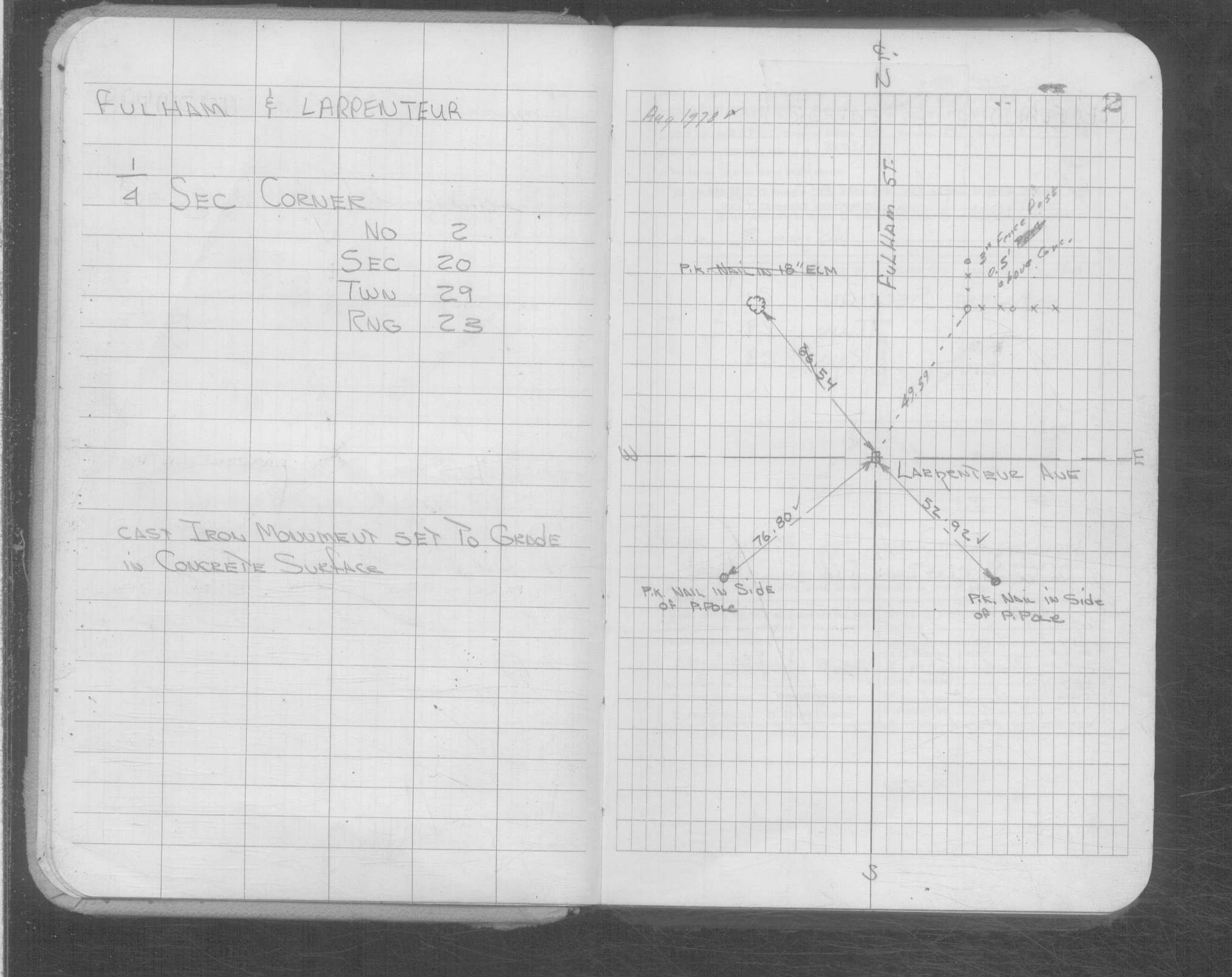
| 2/1/1934 | Placed ties on the Iron at grade. See book MSX 4 p.17 |
| 1/1/1889 | (Unknown date Jan __, 1889 ) Monument set by R J Johnson. See FB 278 p.1 |
| 11/1/1847 | (Unknown date Nov __, 1847 ) Isaac N Higbee deputy surveyor set post. Tied to 2 BTs. See IH p.120-121 2923 |
| 1/1/1800 | (Unknown date ___ __, ____ ) CIM set to grade in concrete surface. |
Above is NOT an all inclusive history of this point. Please review all the links below.
| PLS NOTES | Field | Cross Section | Sewer | J.B. Irvine | Monument | River Survey |
|---|---|---|---|---|---|---|
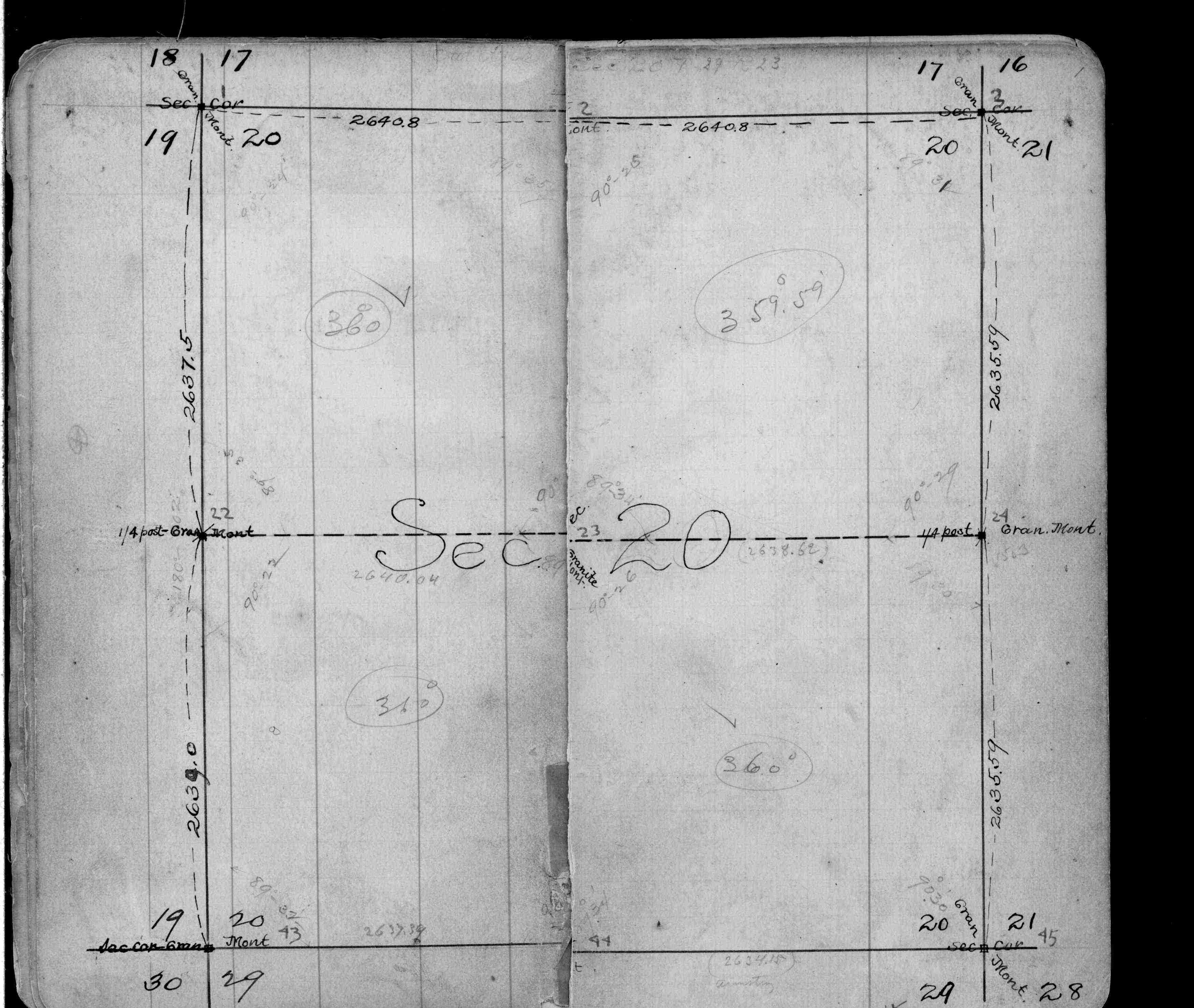
| IH p.120-121 | FB 0278p.01 | MSX 0004 p.017 | ||||
| FB 0278p. 01 ,15 | ||||||
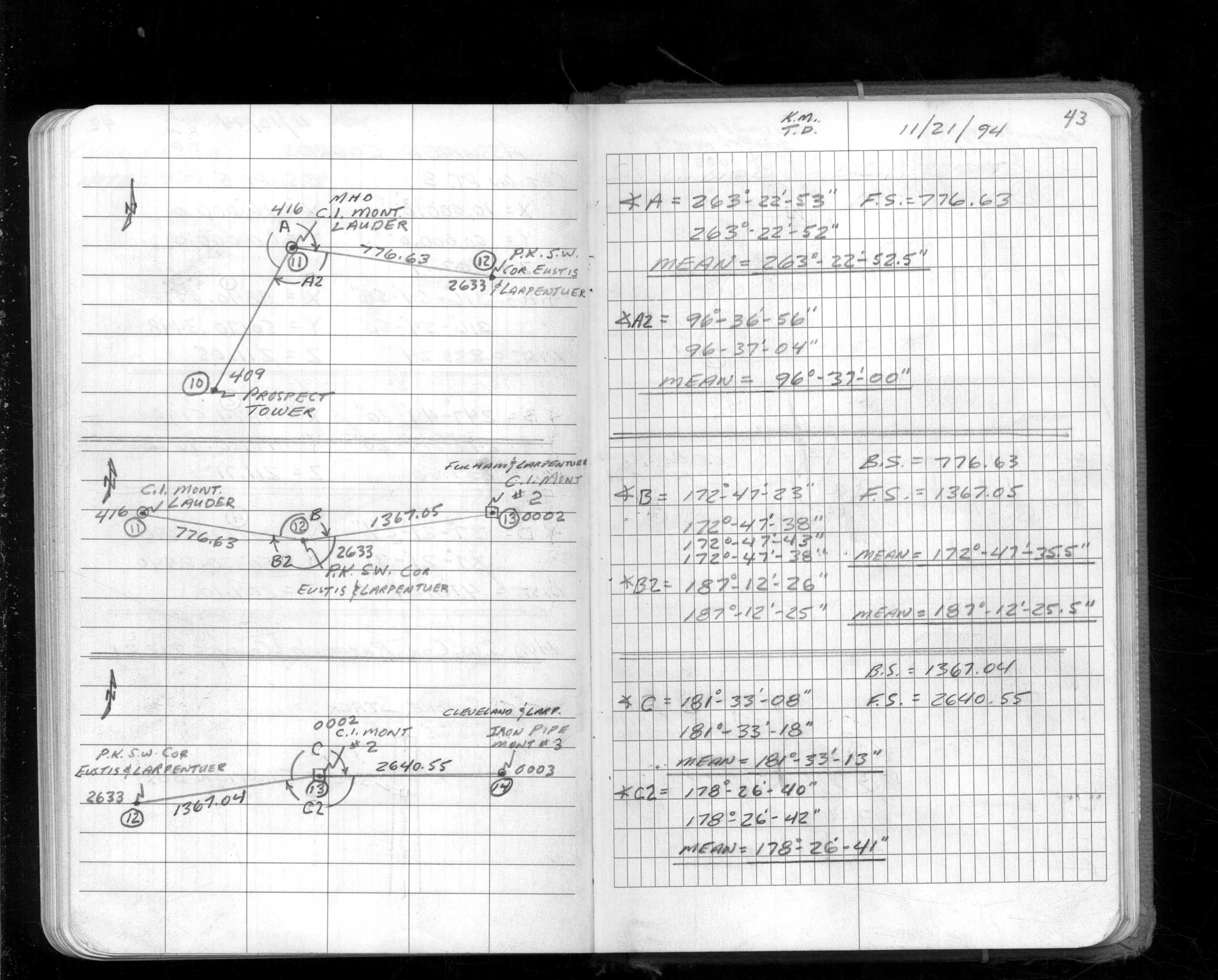
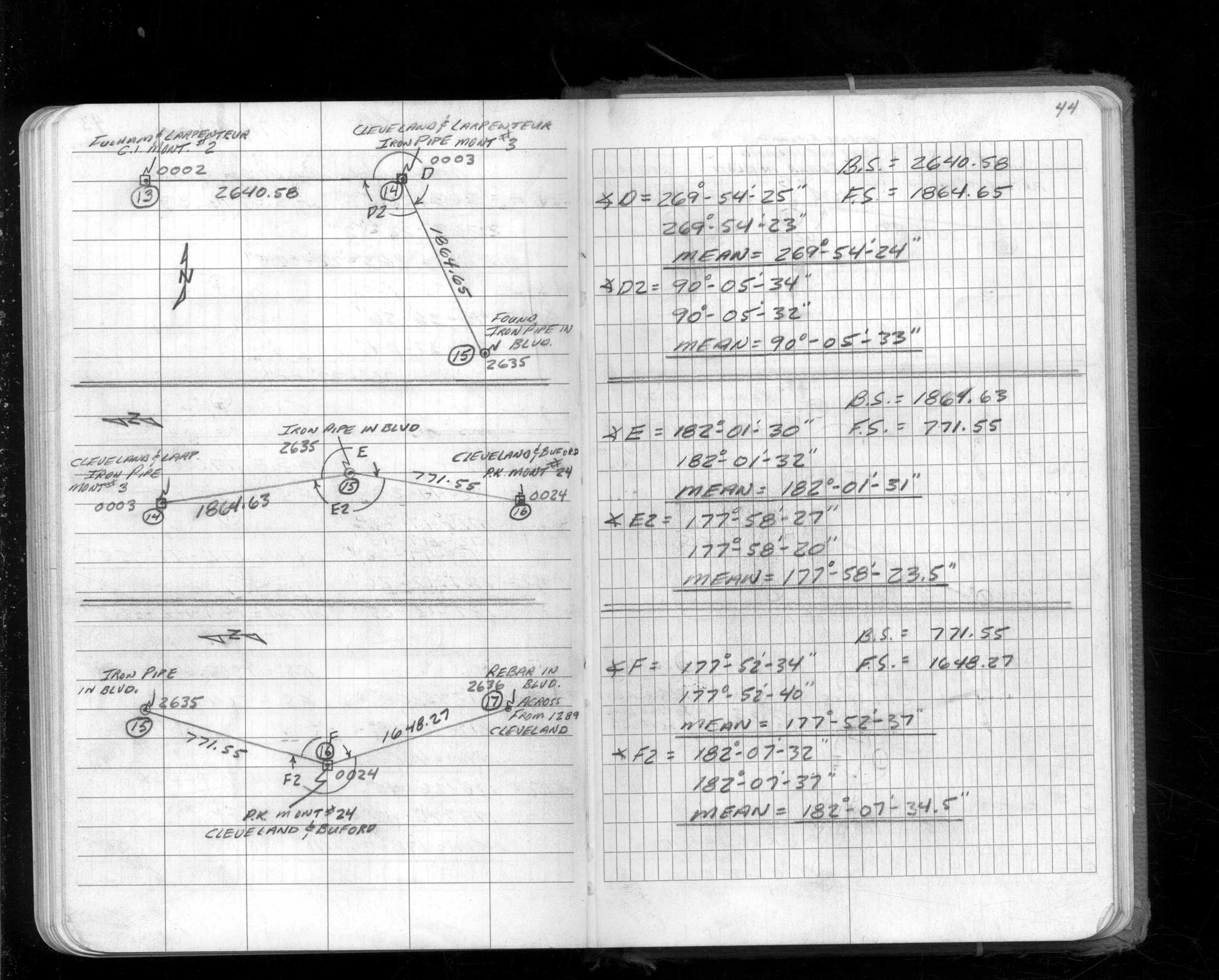
| FB 1549Gp. 45 ,46 ,48 | ||||||
| FB 1565Bp. 43 ,44 | ||||||
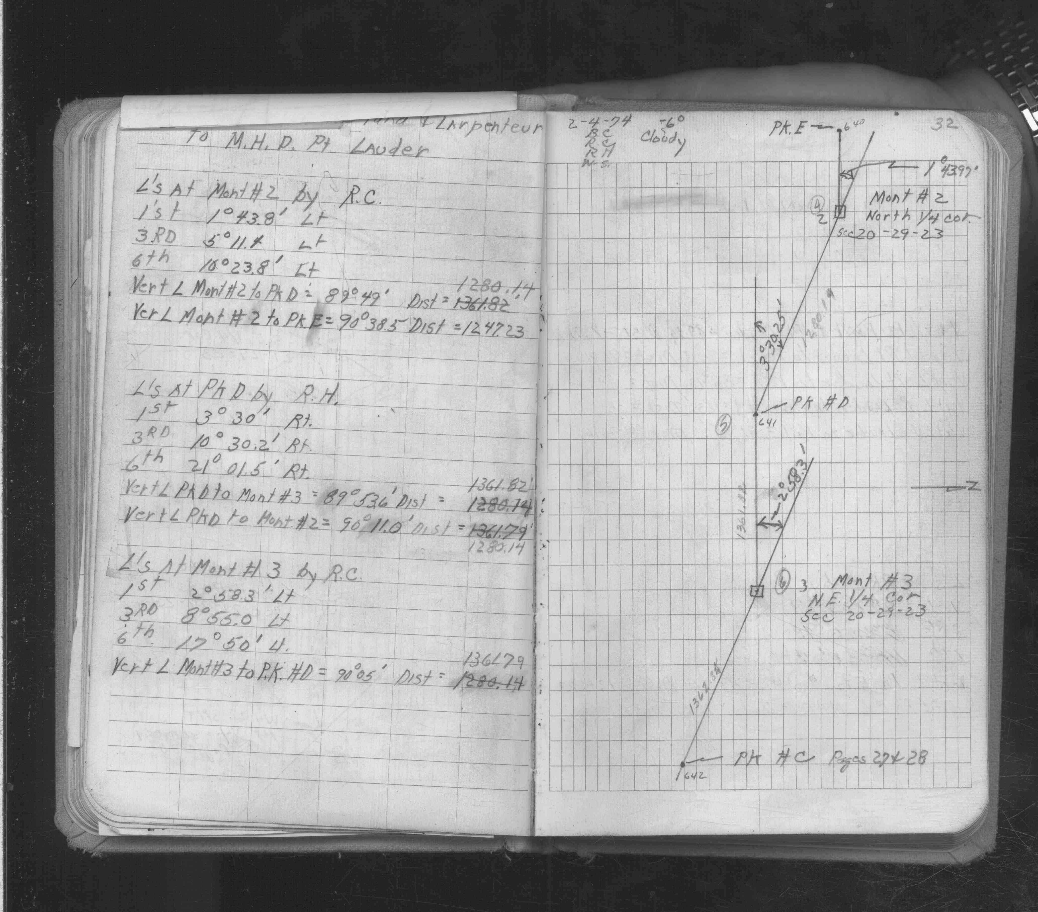
| FB 1634Ap. 32 ,33 | ||||||
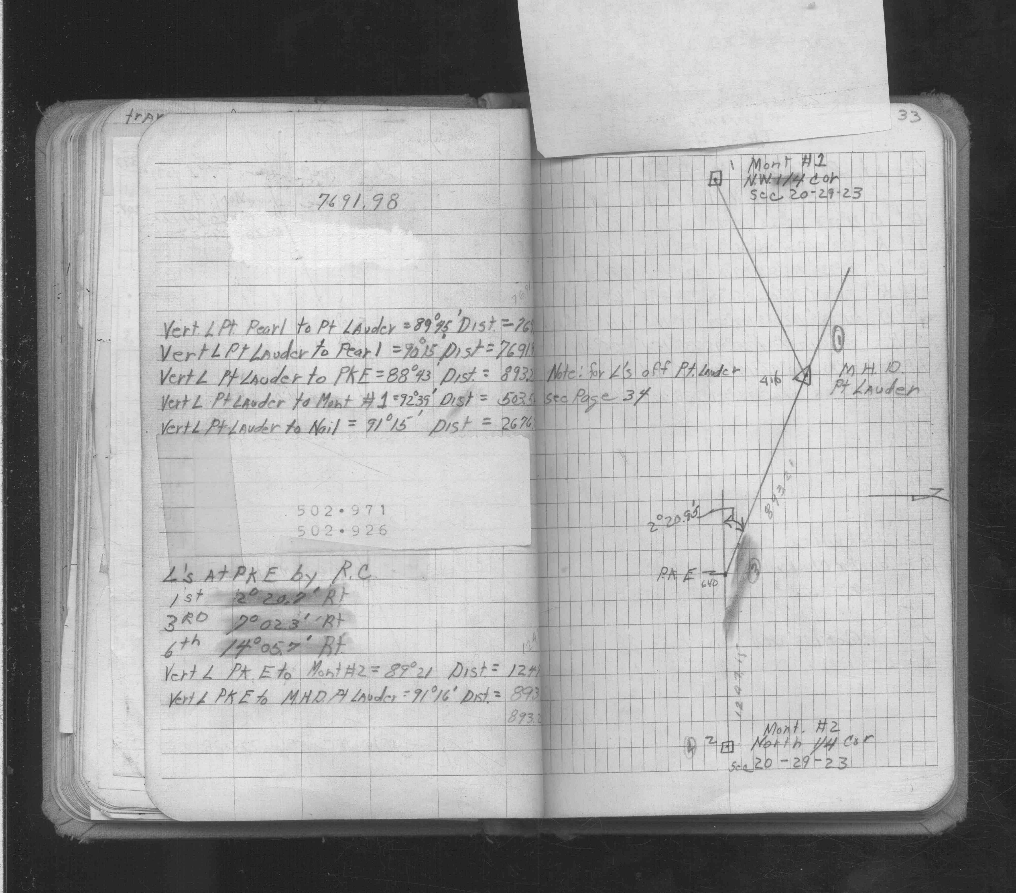
| FB 1736p.02 |
| FILE | SURVEYOR | LIC. NO. | DATE SIGNED | DATE TIED |
|---|---|---|---|---|
| 0002-1505-A.pdf | Samuel D. Gibson | 44880 | February 3, 2010 | November 30, 2009 |
| 0002-1505-A.tif | none | none | none | March 25, 1991 |
| ST_001-078p002.jpg | none | none | none | none |
| 0002-1505-A.dwf | none | none | none | none |
| FILE | PHOTO DATE | COMMENTS |
|---|---|---|
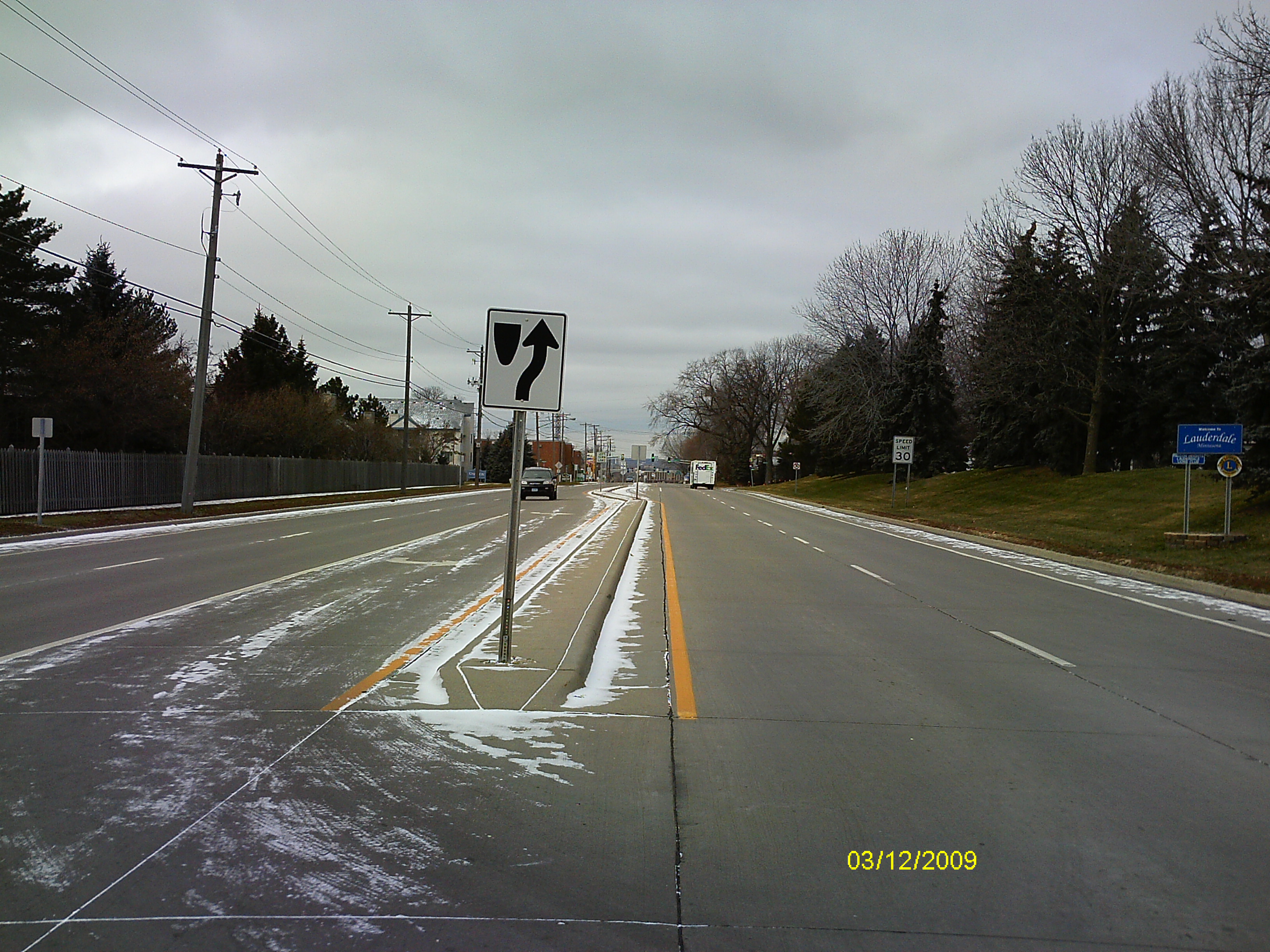
| 0002-1505-5.jpg | December 3, 2009 | Looking West along the center of Larpentuer Ave. |
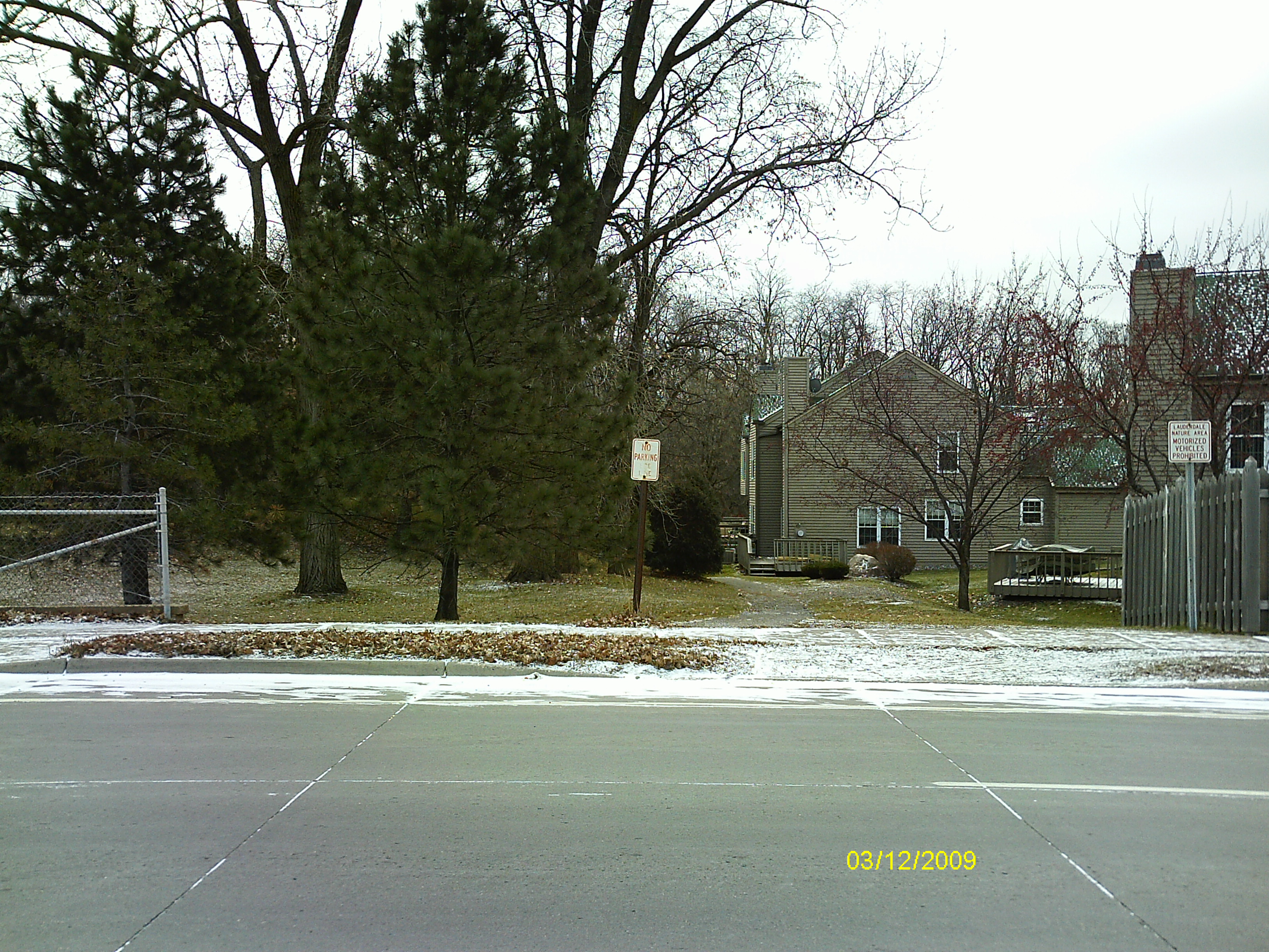
| 0002-1505-4.jpg | December 3, 2009 | Looking South across Larpentuer Ave. |
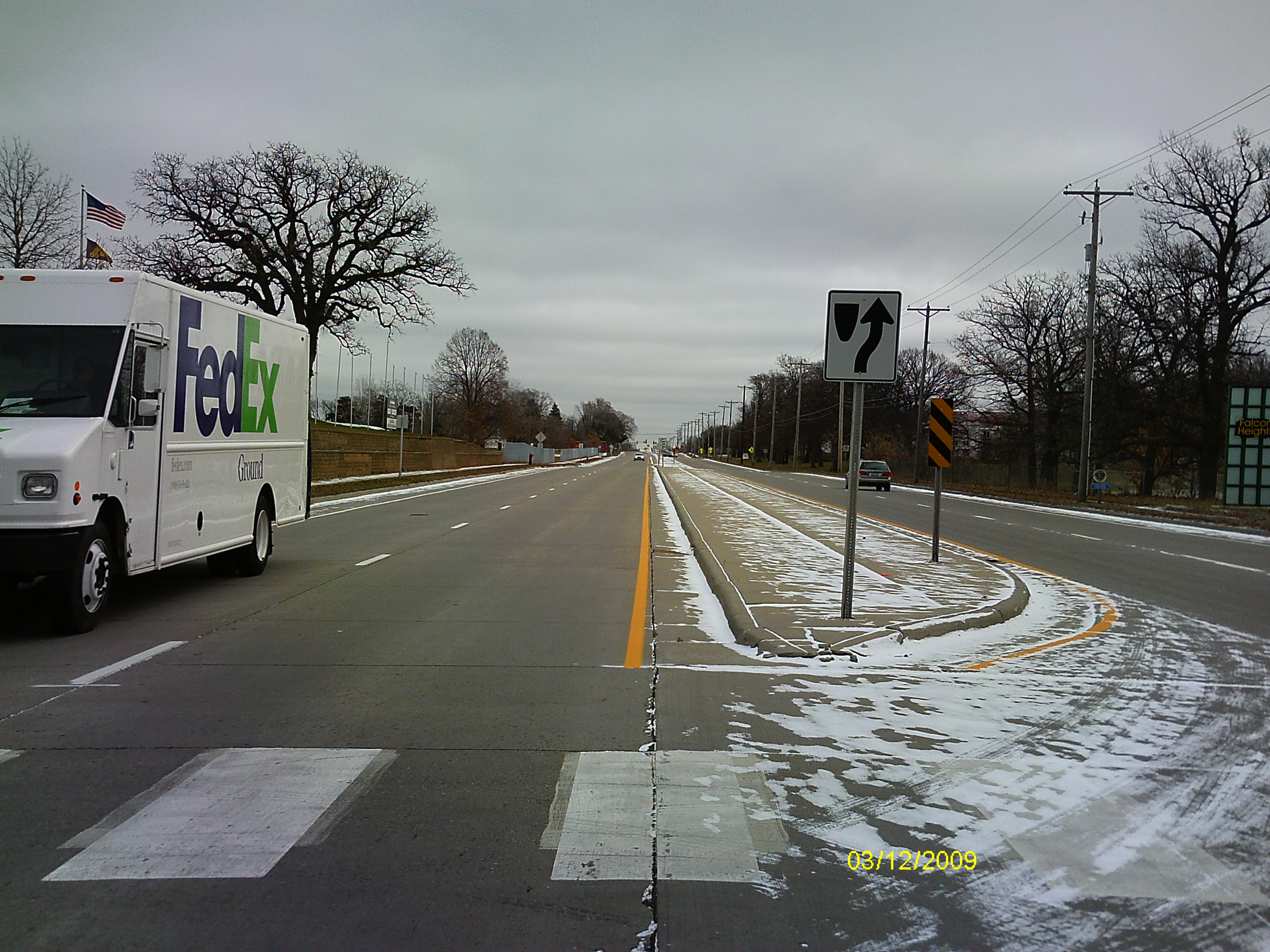
| 0002-1505-3.jpg | December 3, 2009 | Looking East along the center of Larpentuer Ave. |
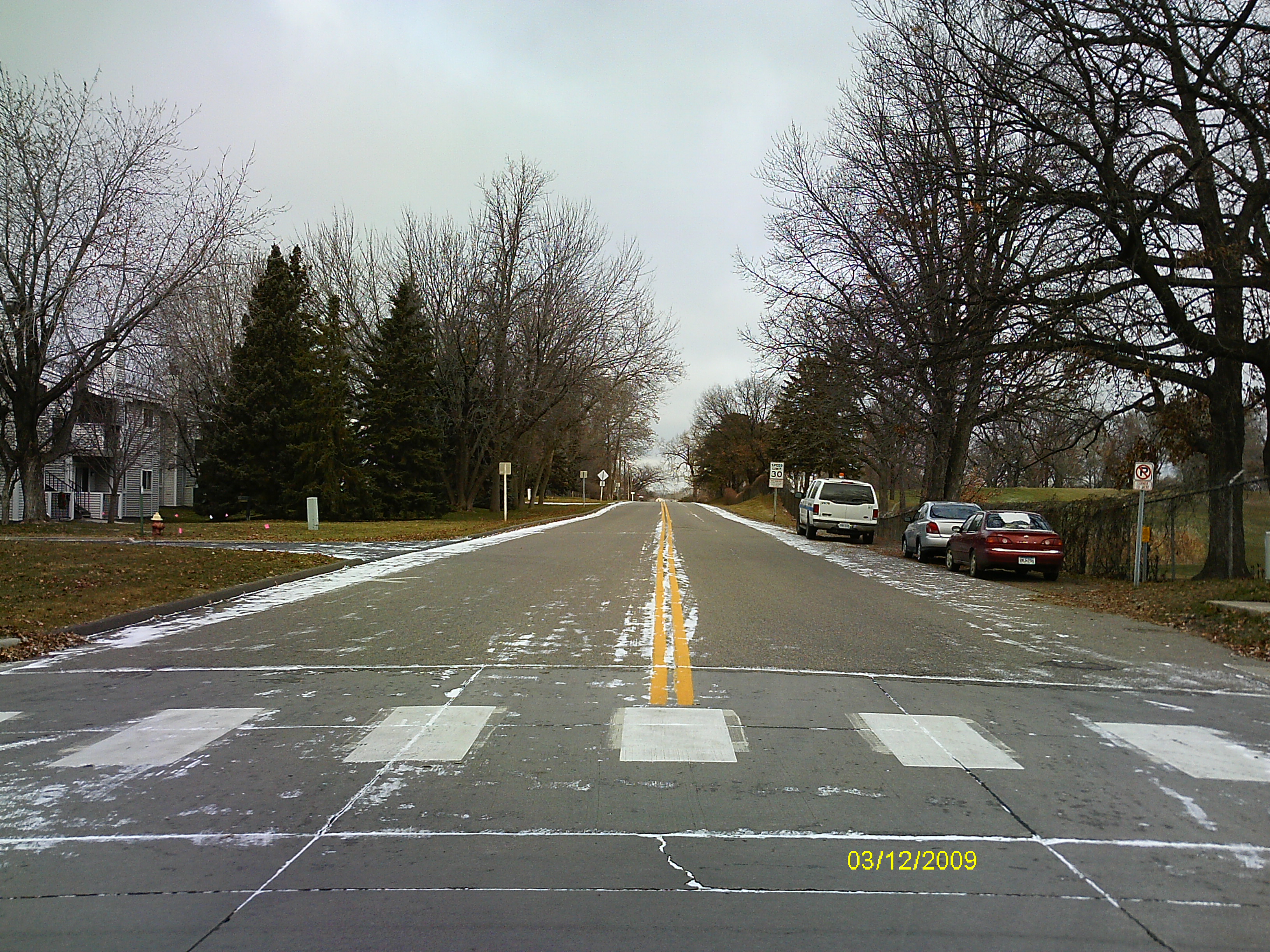
| 0002-1505-2.jpg | December 3, 2009 | Looking North along the center of Fulham St. |
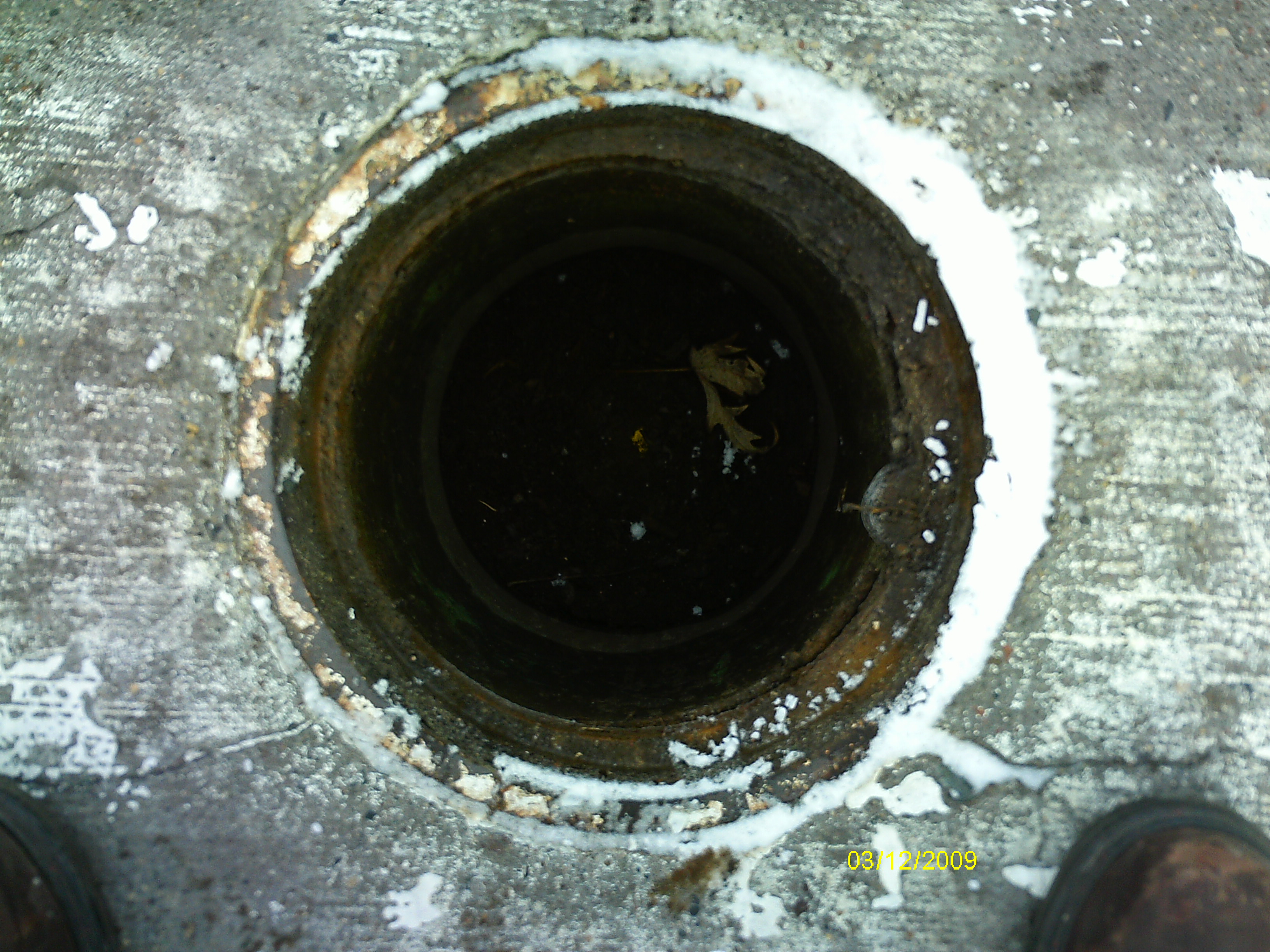
| 0002-1505-1.jpg | December 3, 2009 | Close-up of the casting opening over the CIM. |