| NAD83 COORDINATES (1986 adj.): |
|---|
| * X= 574227.19 Y= 173321.25 Z= 0 LSQ 10/18/1991 M FLT |
| 12/21/2009 | Photos taken of the CIM. |
| 12/18/2009 | Set ties on the CIM. See CofL 0012-__eu-A.pdf |
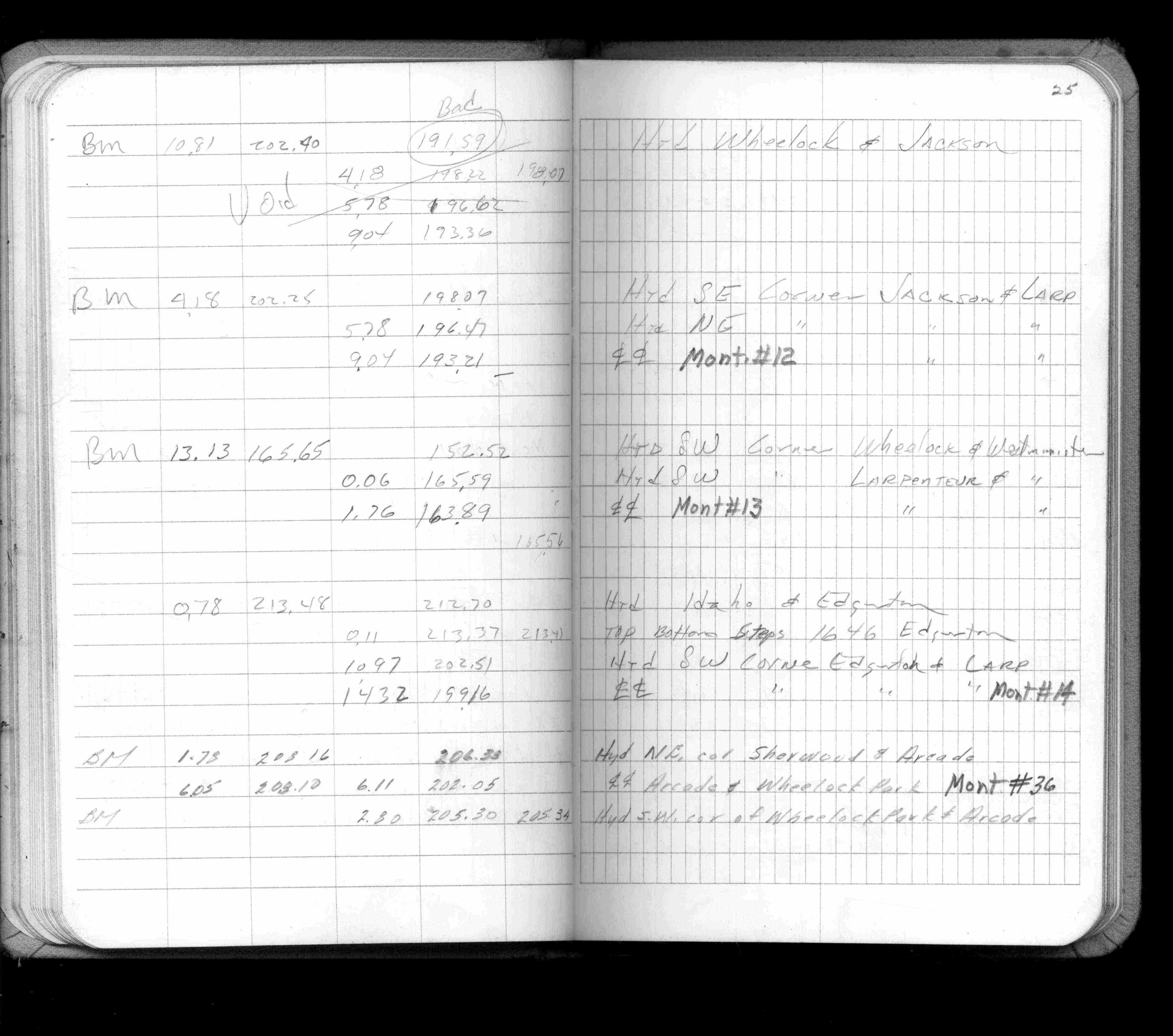
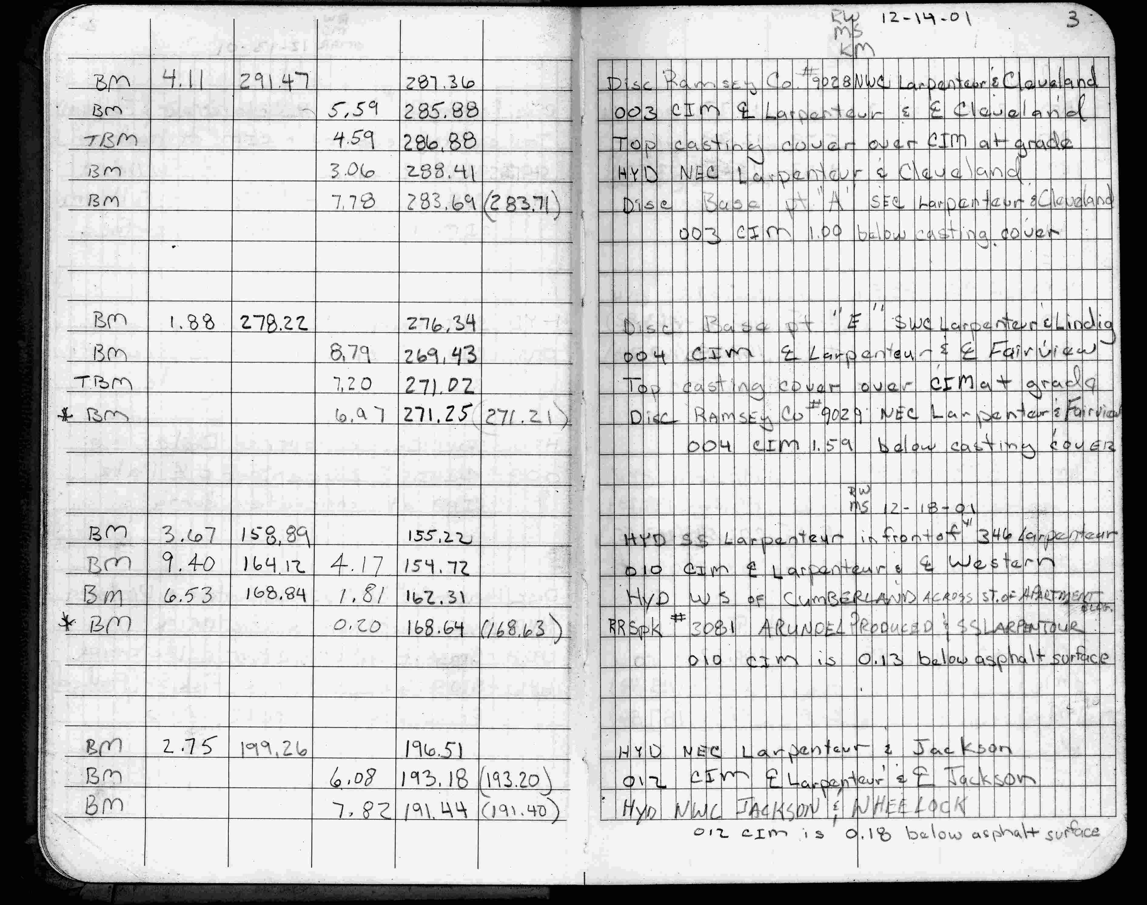
| 12/18/2001 | Elev 193.18 ft on CIM, 0.18 ft below asphalt surface. See FB 1736 p.3 |
| 4/1/1982 | (Unknown date Apr __, 1982 ) Elev 193.21 ft on CLCL. See FB 1421A p.25 |
| 4/1/1982 | (Unknown date Apr __, 1982 ) Elev 193.20 ft on CLCL. See FB 1421A p.19 |
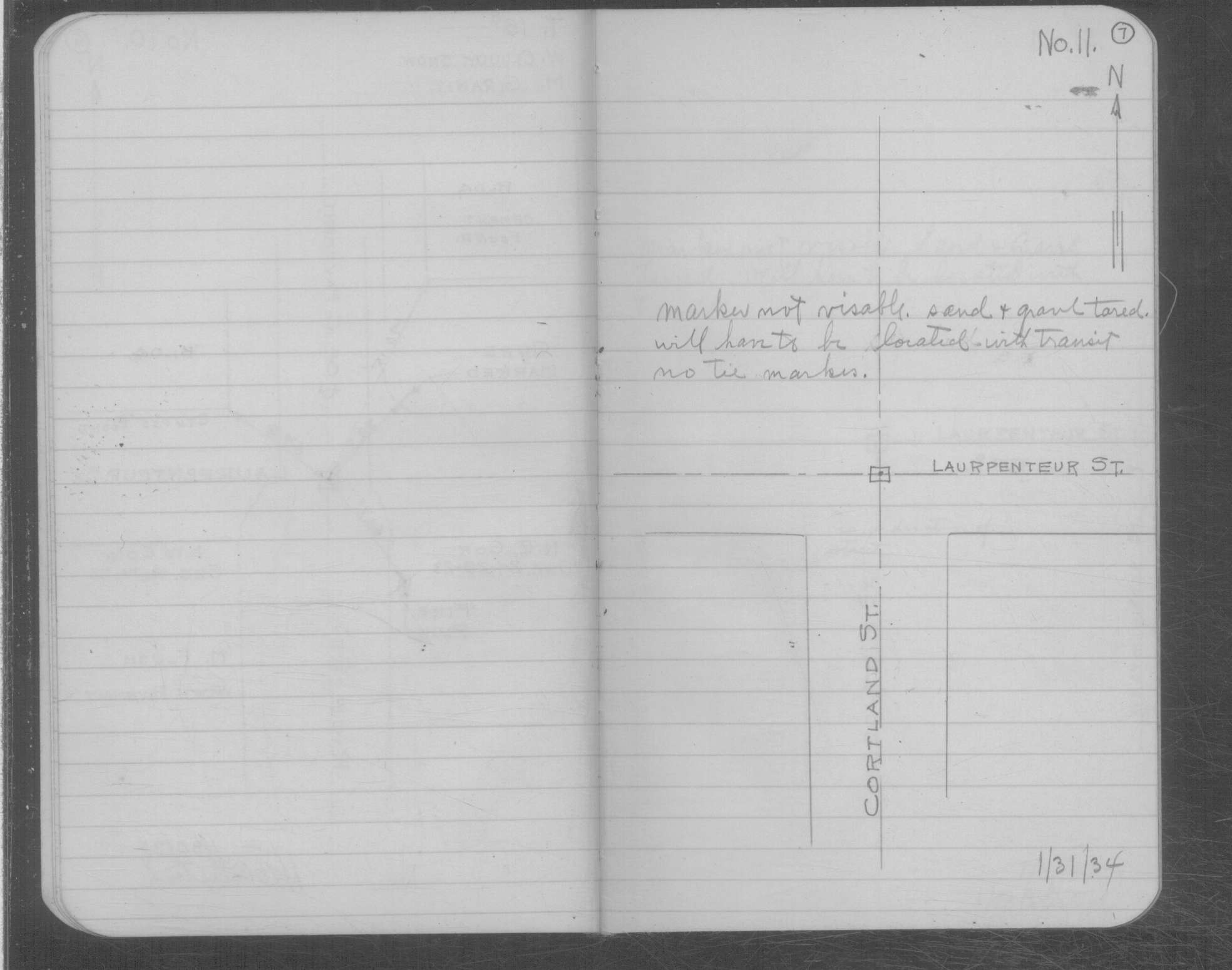
| 1/31/1934 | Monument not found. See book MSX 4 p.7 |
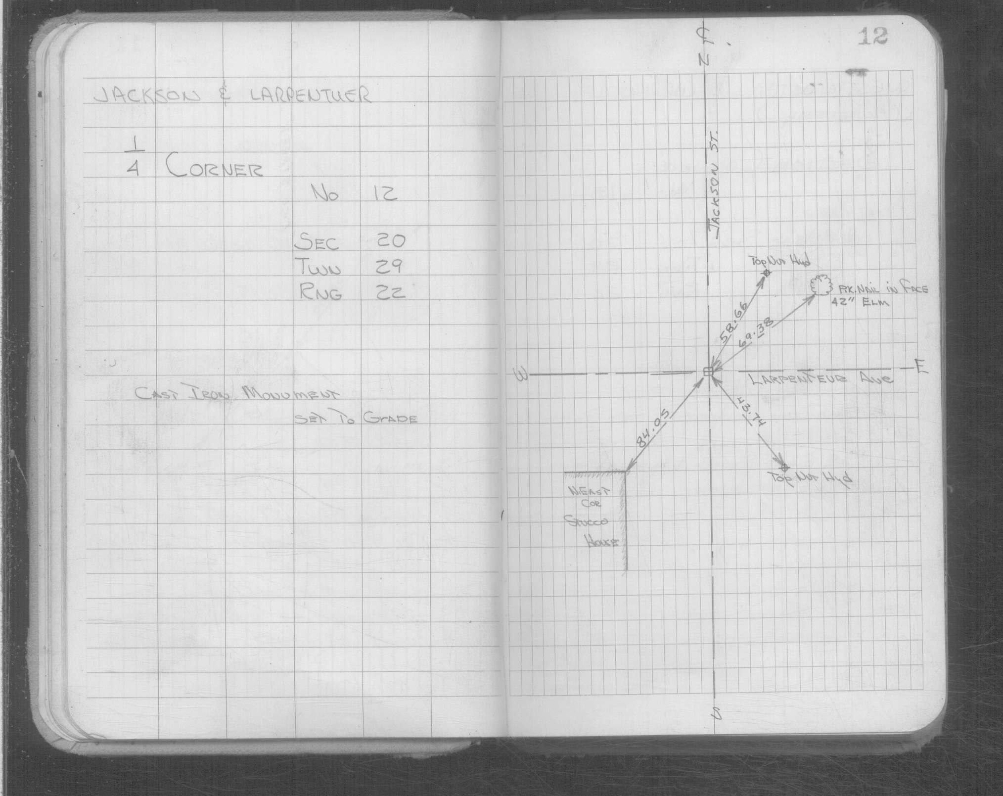
| 1/1/1900 | (Unknown date ___ __, ____ ) CIM set to grade |
| 11/1/1847 | (Unknown date Nov __, 1847 ) Isaac N Higbee deputy surveyor set post. Tied to 2 BTs. See IH p.216-217 2922 |
Above is NOT an all inclusive history of this point. Please review all the links below.
| PLS NOTES | Field | Cross Section | Sewer | J.B. Irvine | Monument | River Survey |
|---|---|---|---|---|---|---|
| IH p.216-217 | FB 0317p. 03 ,06 | MSX 0004 p.007 | ||||
| FB 1421Ap.19 | ||||||
| FB 1421Ap.25 | ||||||
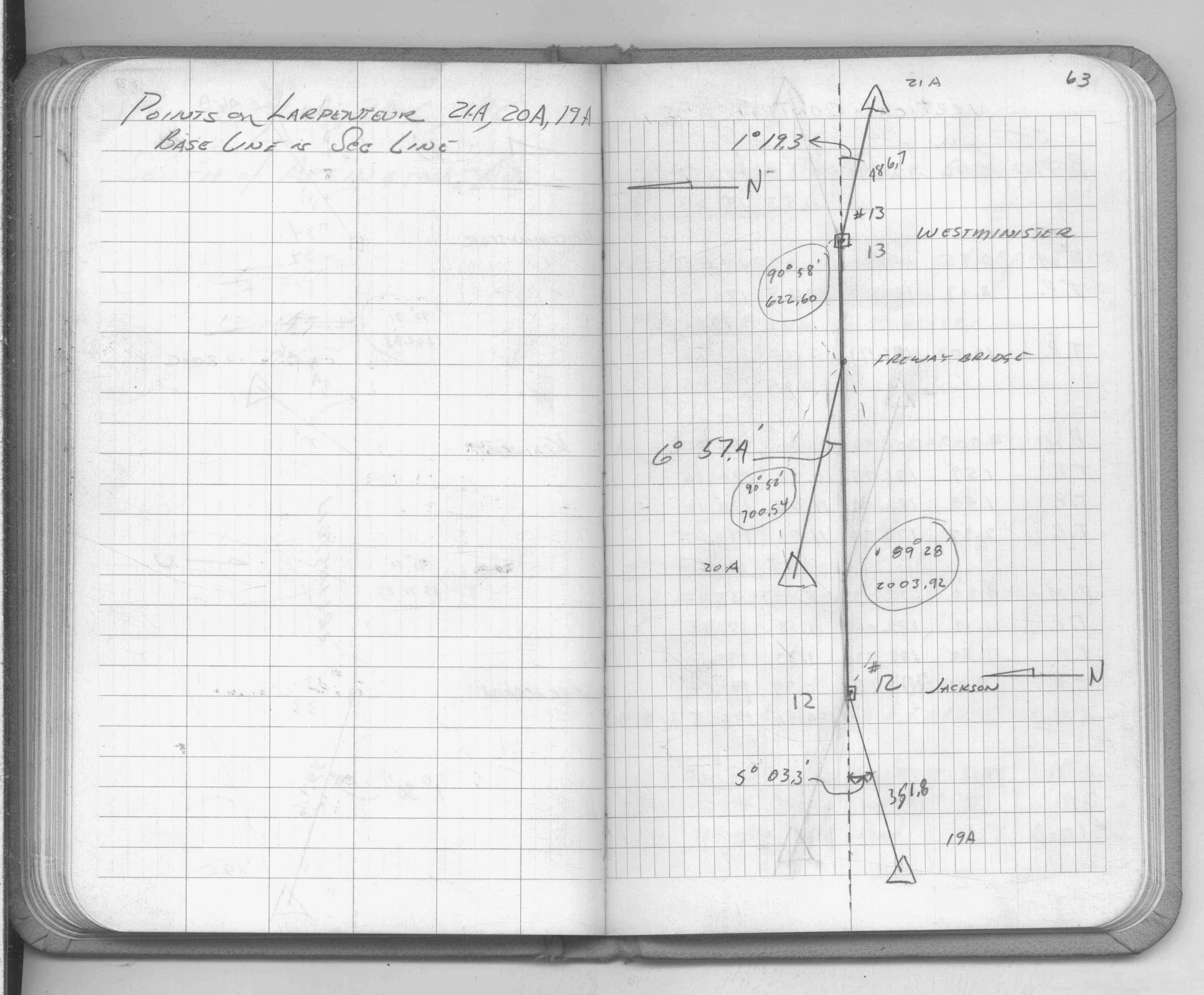
| FB 1549Fp.63 | ||||||
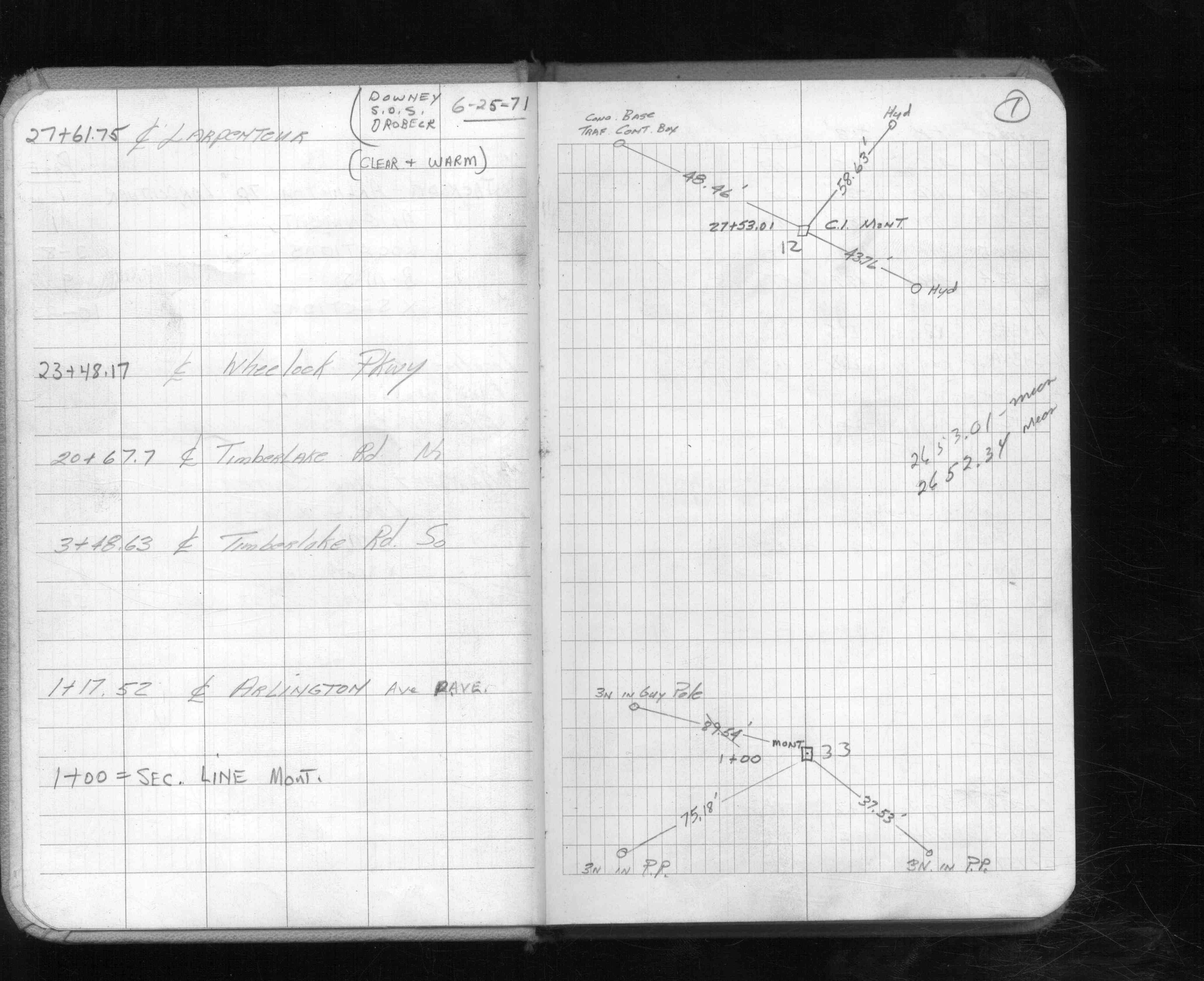
| FB 1613p.01 | ||||||
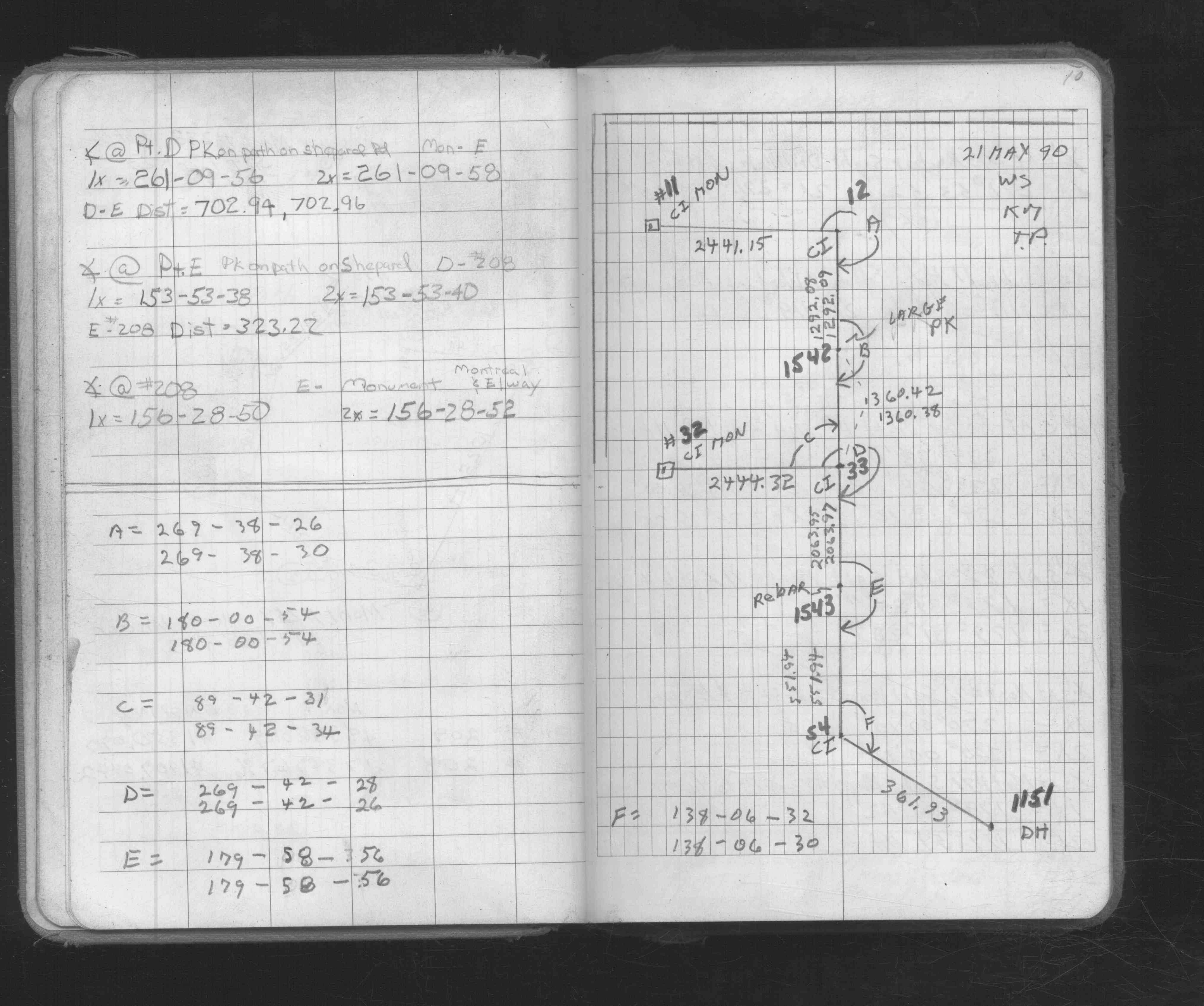
| FB 1673Ap.10 | ||||||
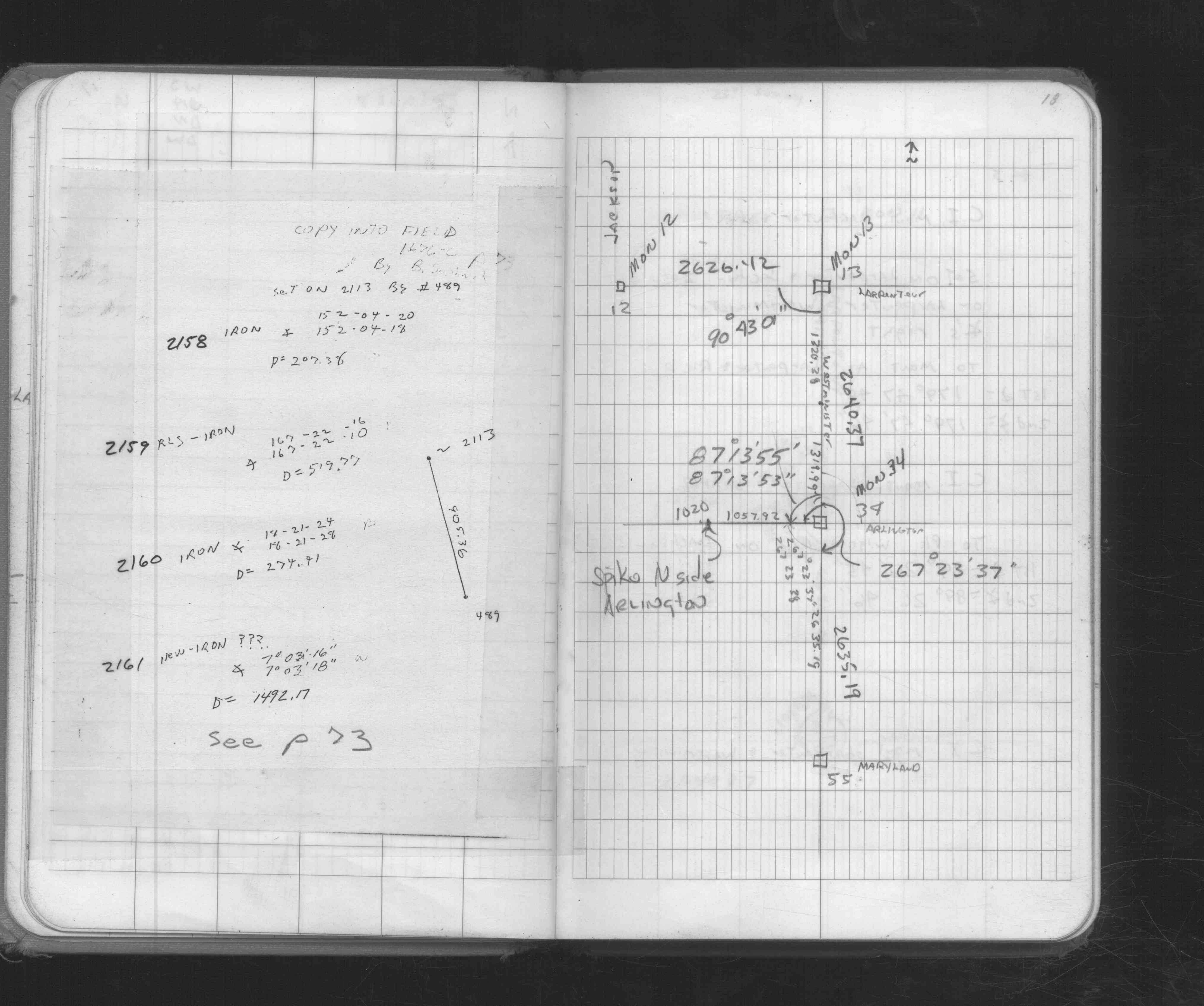
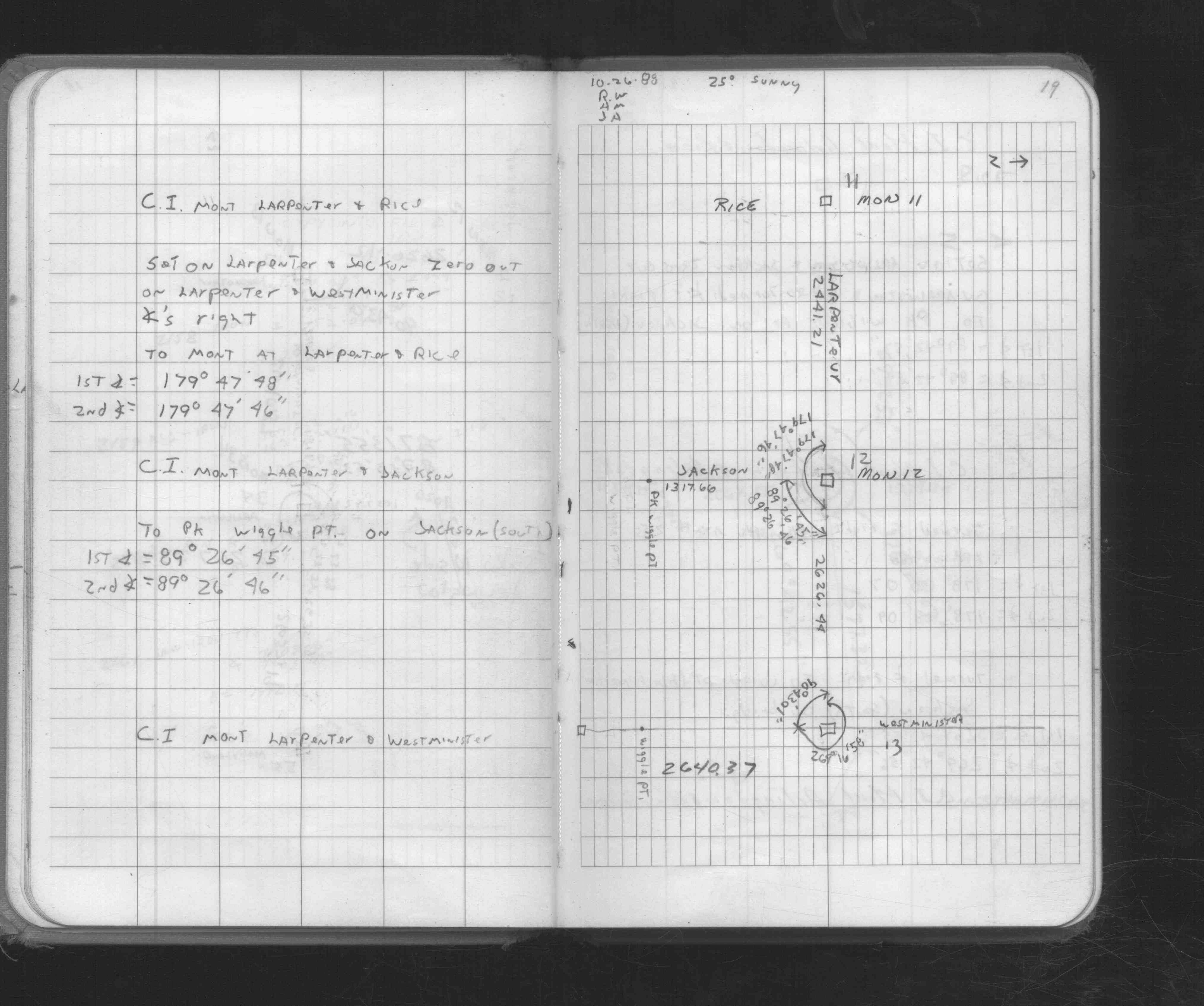
| FB 1676Cp. 18 ,19 | ||||||
| FB 1736p.03 |
| FILE | SURVEYOR | LIC. NO. | DATE SIGNED | DATE TIED |
|---|---|---|---|---|
| 0012-__eu-A.pdf | Samuel D. Gibson | 44880 | January 7, 2010 | December 18, 2009 |
| ST_001-078p012.jpg | none | none | none | none |
| 0012-xxxx-A.dwf | none | none | none | none |
| FILE | PHOTO DATE | COMMENTS |
|---|---|---|
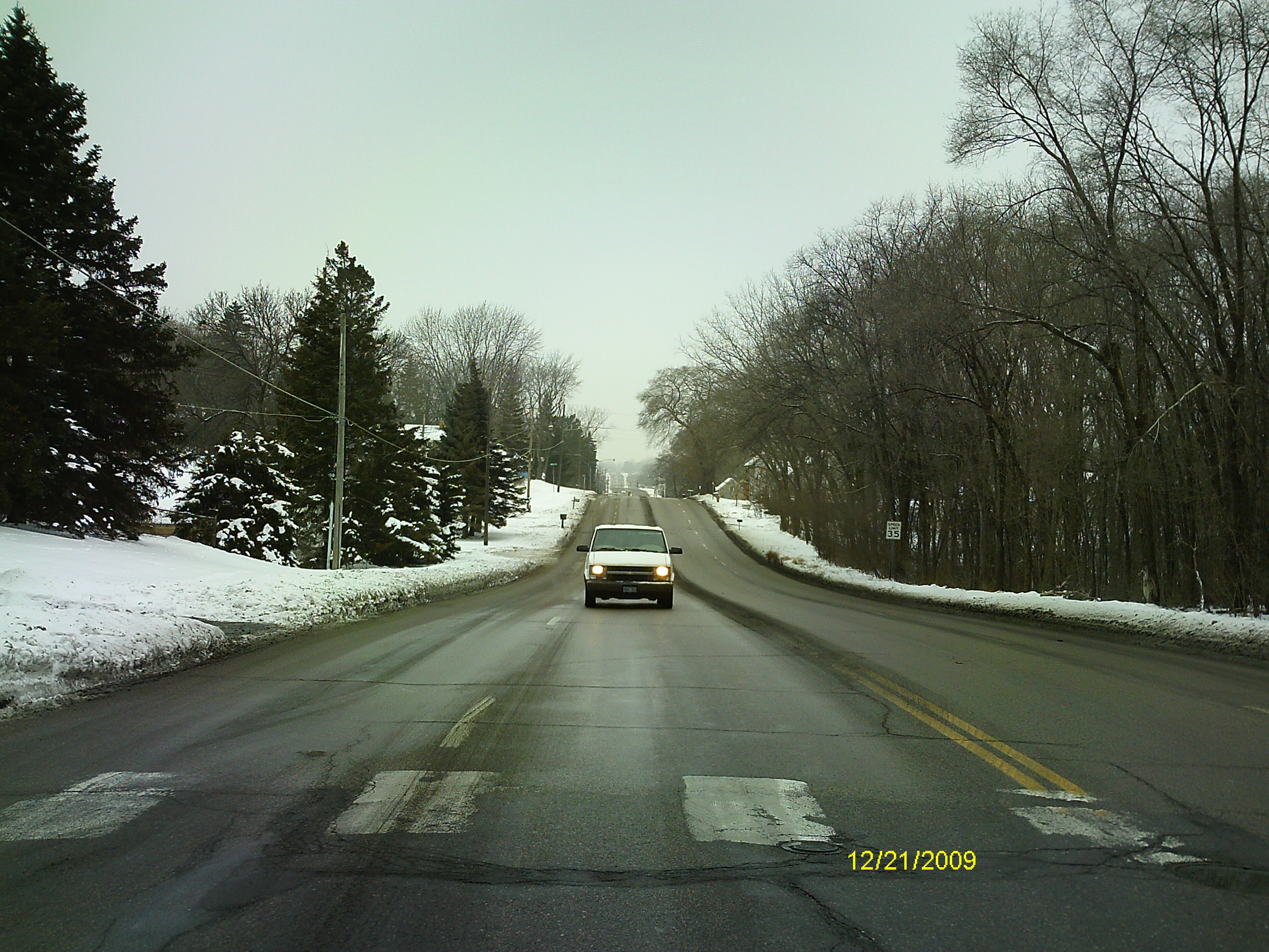
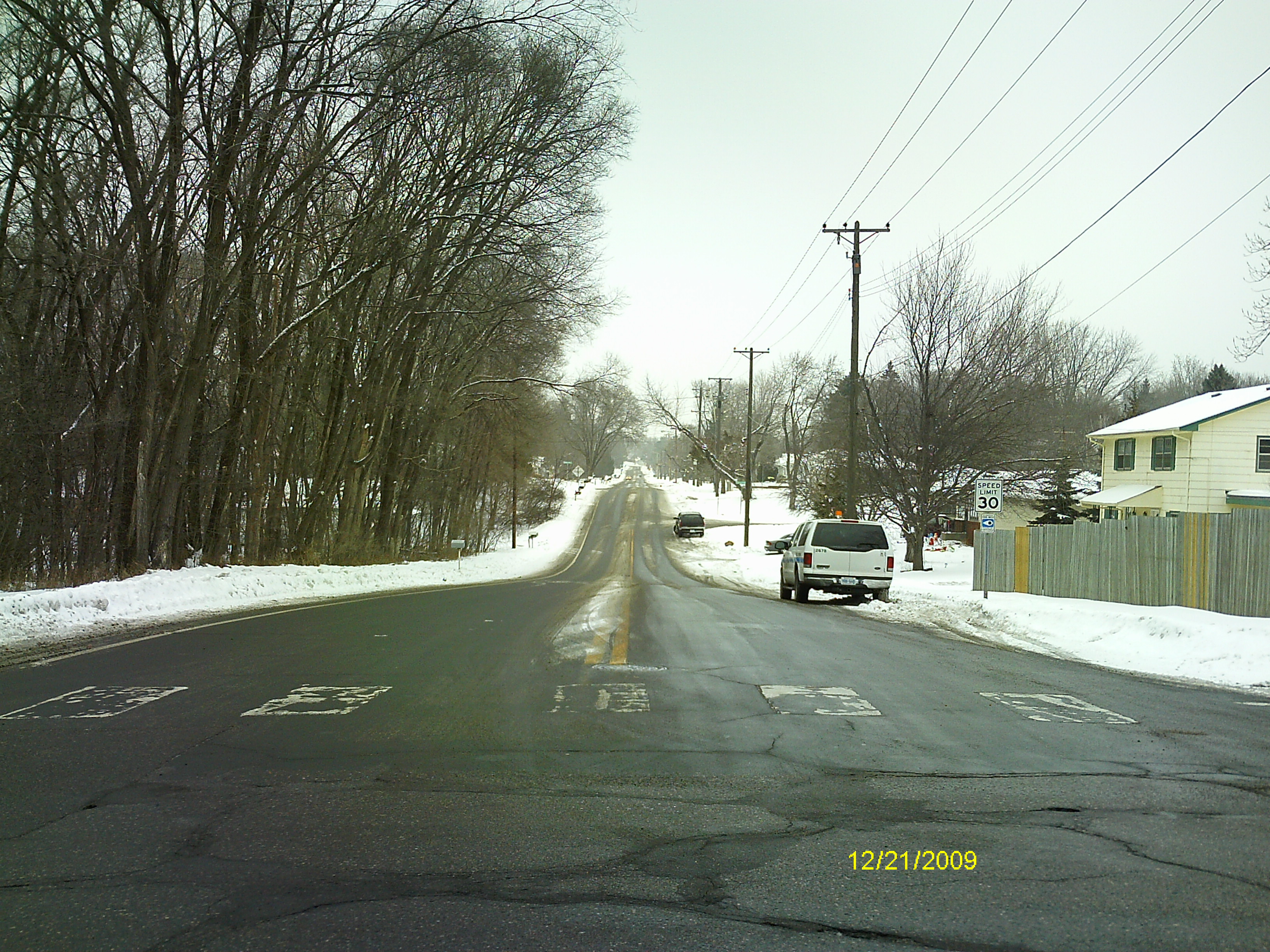
| 0012-__eu-5.jpg | December 21, 2009 | Looking West along the center of Larpentuer Ave. |
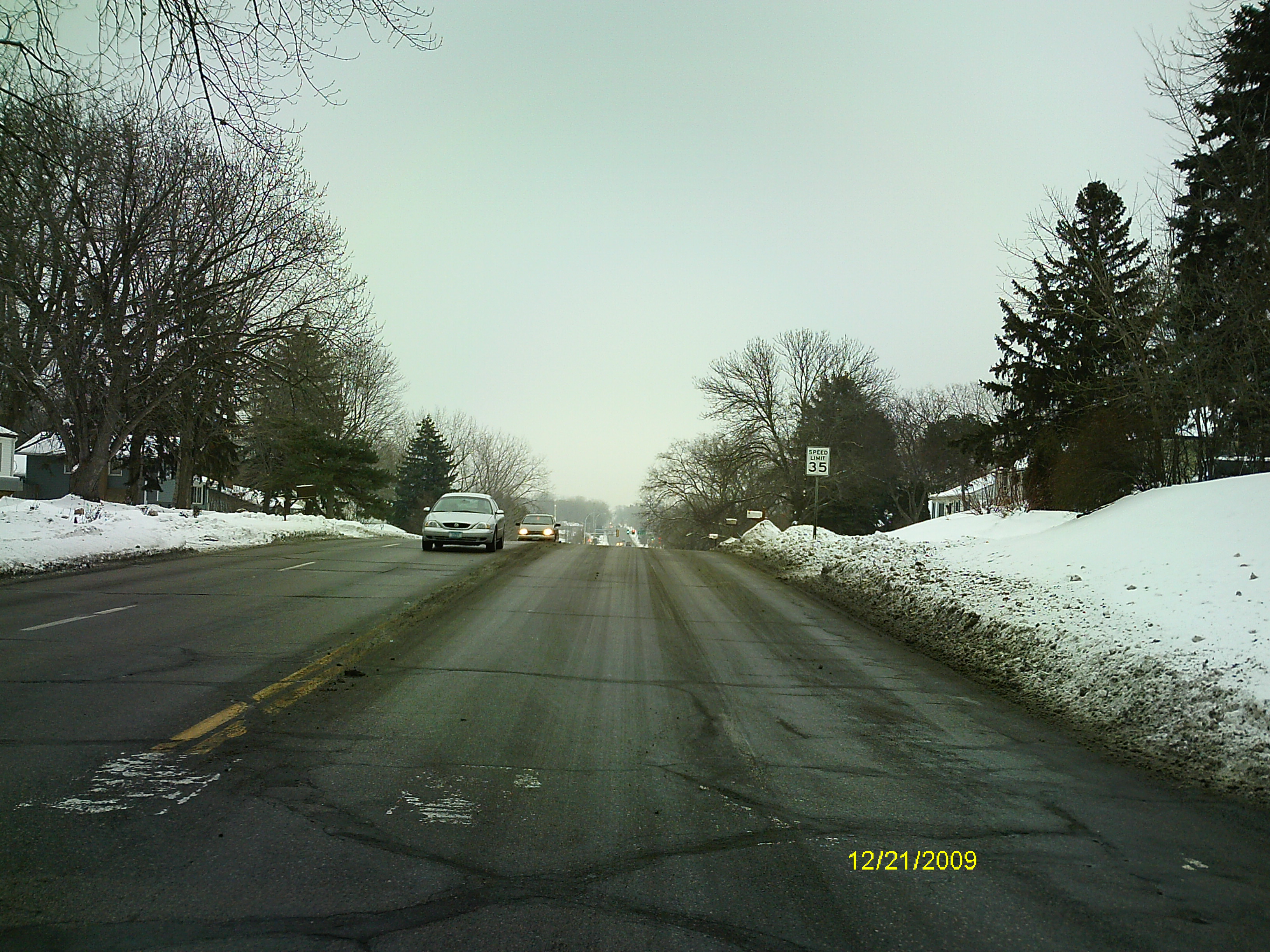
| 0012-__eu-4.jpg | December 21, 2009 | Looking South along the center of Jackson St. |
| 0012-__eu-3.jpg | December 21, 2009 | Looking East along the center of Larpentuer Ave. |
| 0012-__eu-2.jpg | December 21, 2009 | Looking North along the center of Jackson St. |
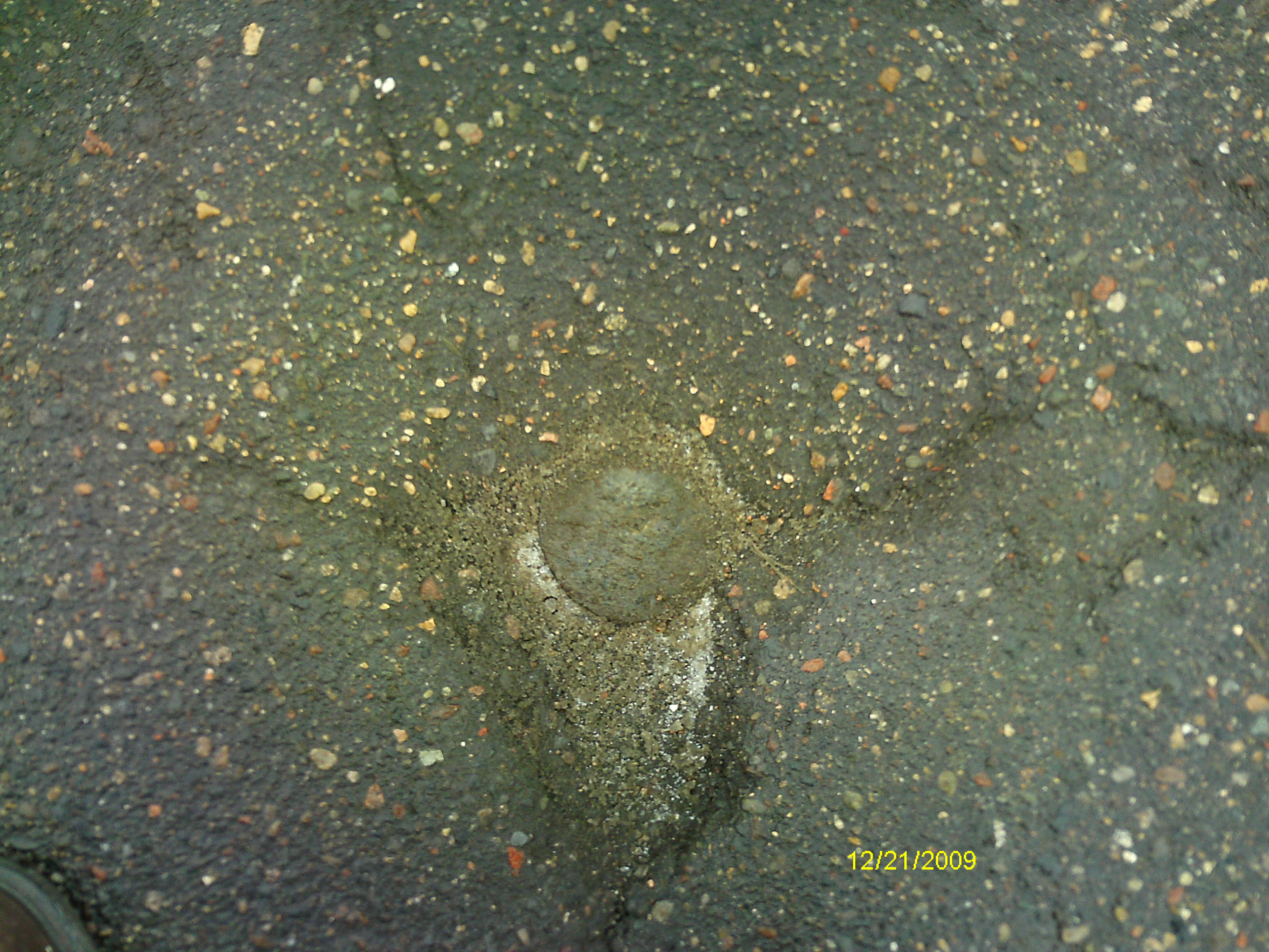
| 0012-__eu-1.jpg | December 21, 2009 | Close-up of the CIM. |