| NAD83 COORDINATES (1986 adj.): |
|---|
| * X= 579462.5 Y= 173366.35 Z= 0 LSQ 10/18/1991 M FLT |
| 10/4/2012 | Found CIM 0.2 ft below street grade. Photos taken. |
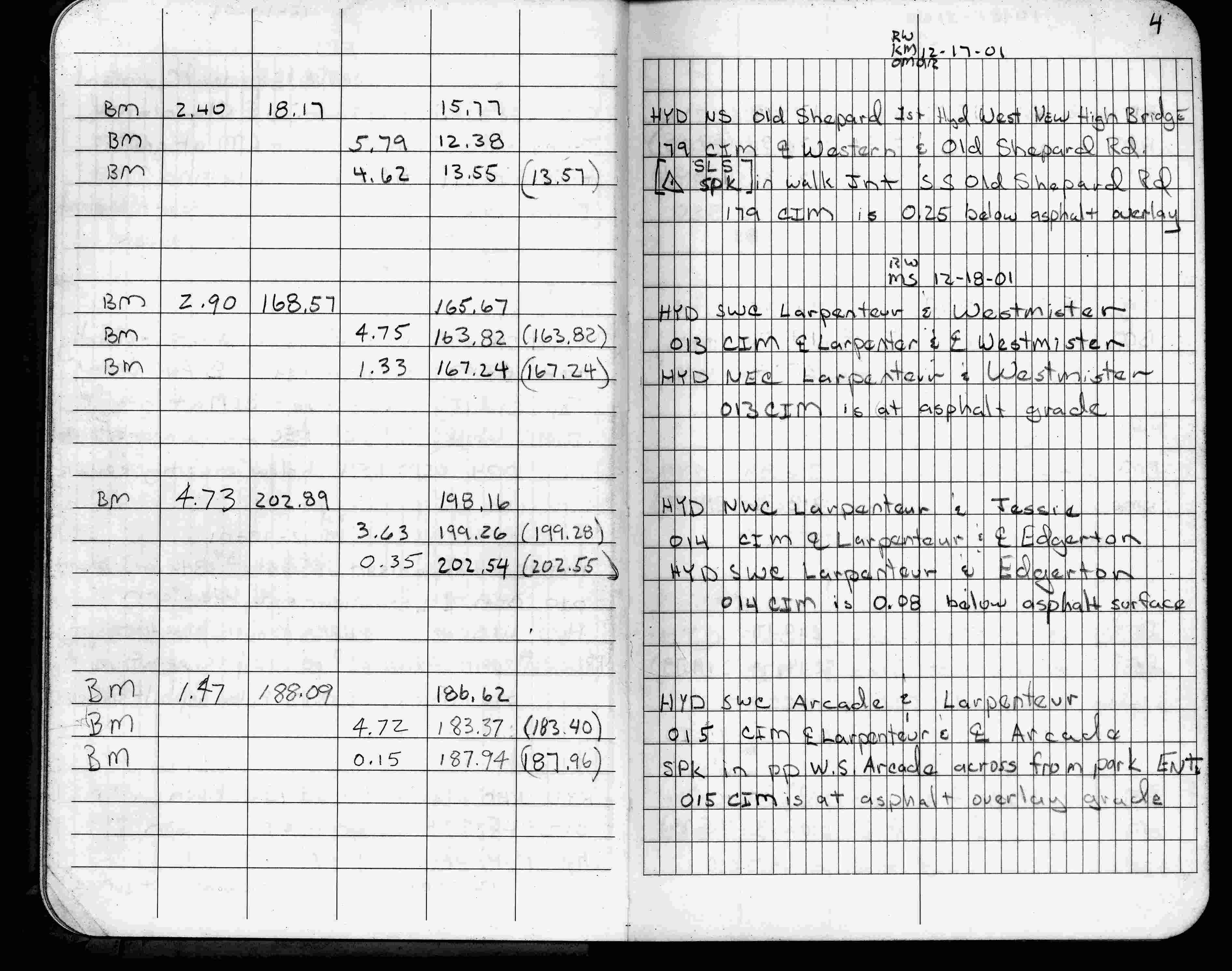
| 12/18/2001 | Elev 199.26 ft on CIM, 0.08 ft below existing surface. See FB 1736 p.4 |
| 3/9/2001 | Fd CIM at grade and placed ties. See CofL 0014-1062-A |
| 1/21/1999 | Elev 199.28 ft on CLCL, CIM down 0.1 ft. See 1999/edgerton2/edgerton2.sdr (loop 190) |
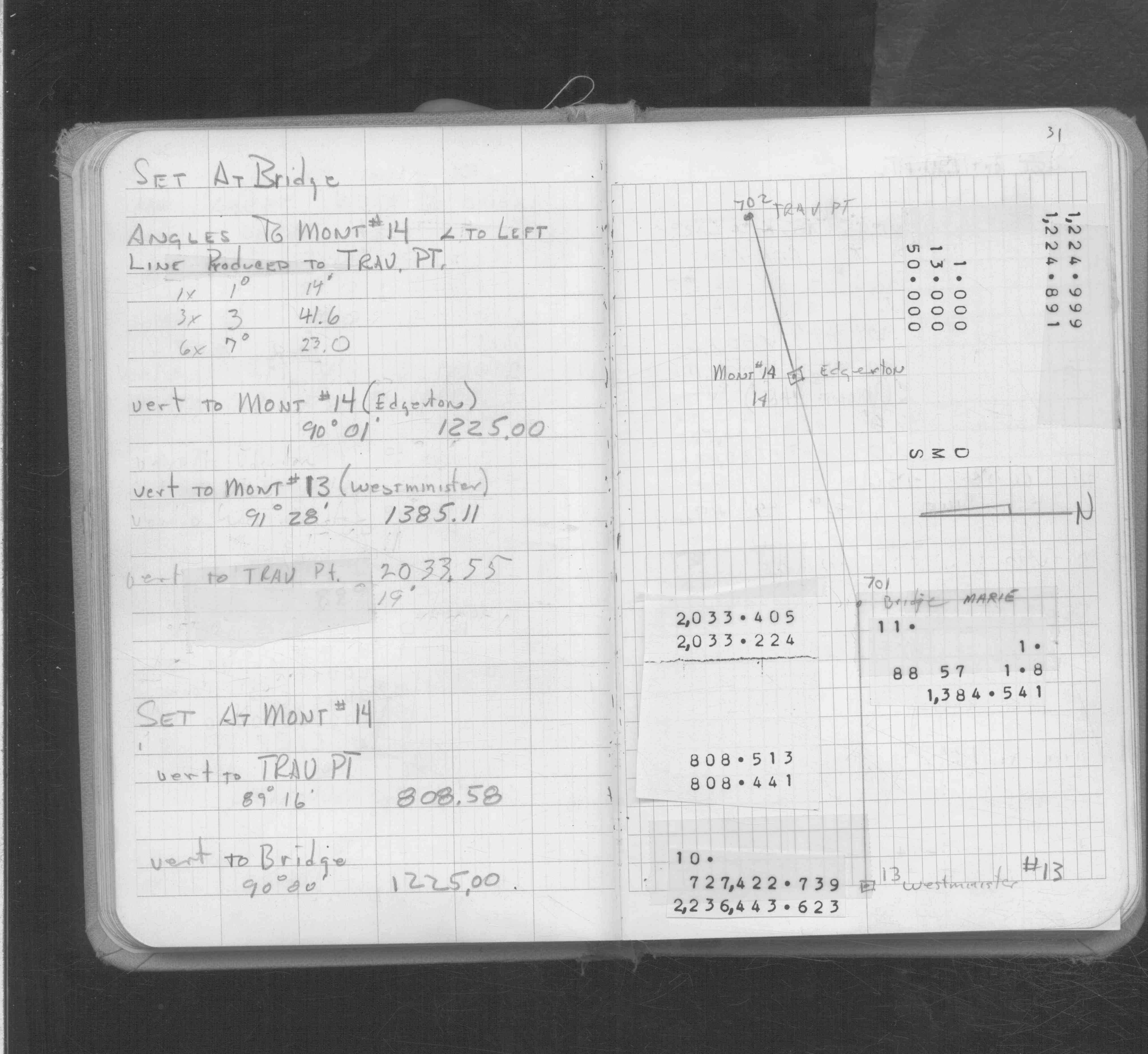
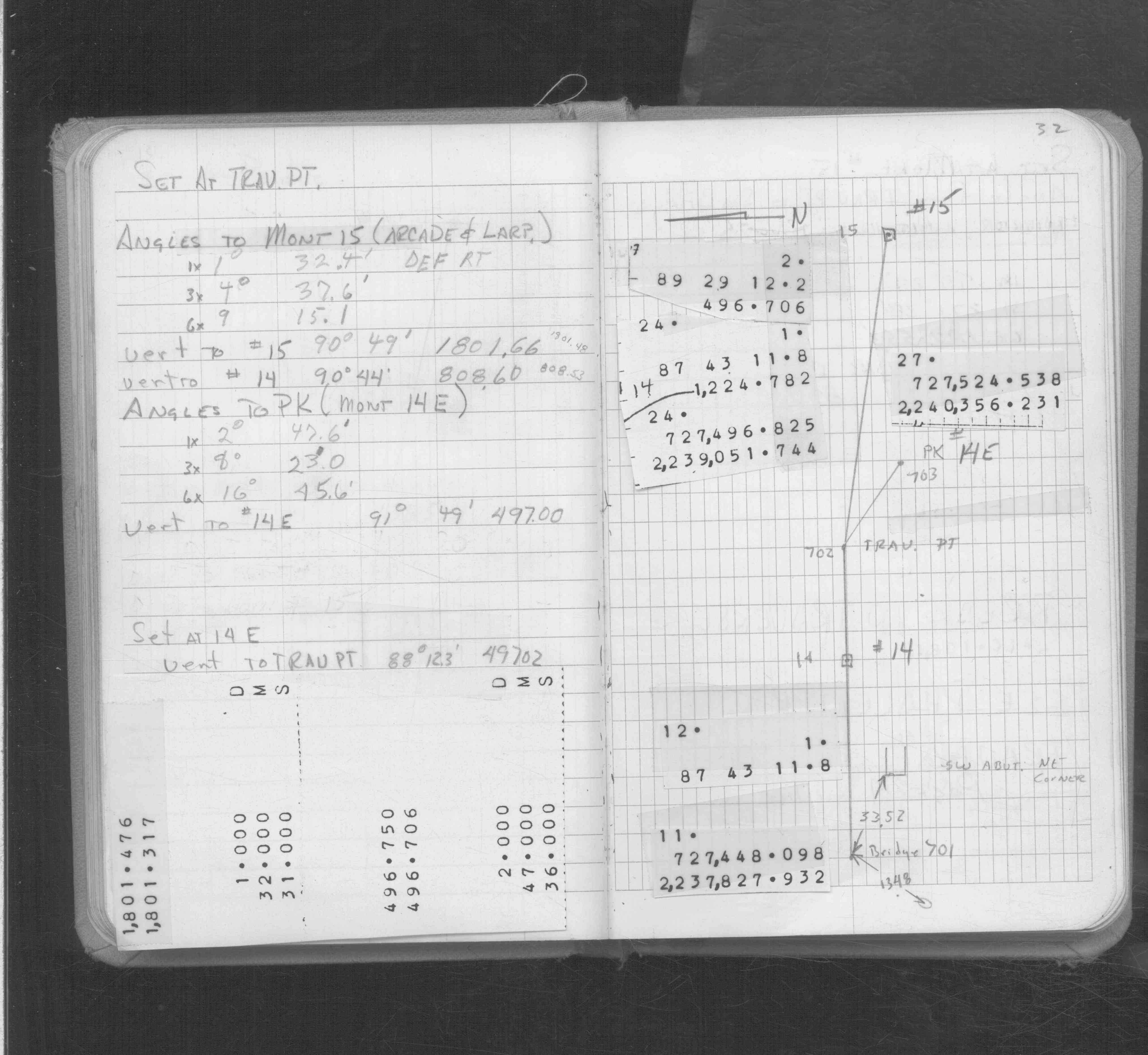
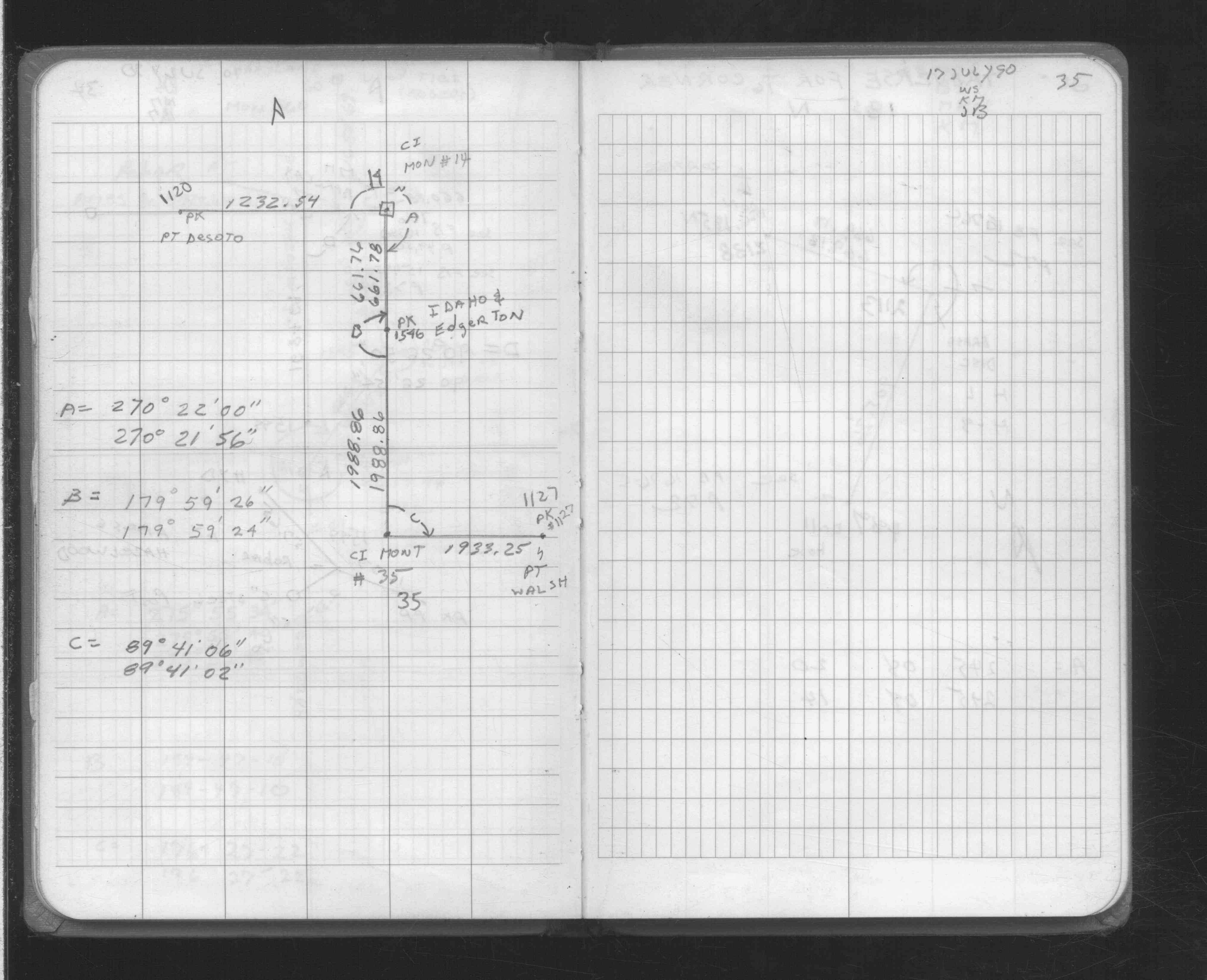
| 7/17/1990 | Traversed through CIM. See FB 1708A p.35 |
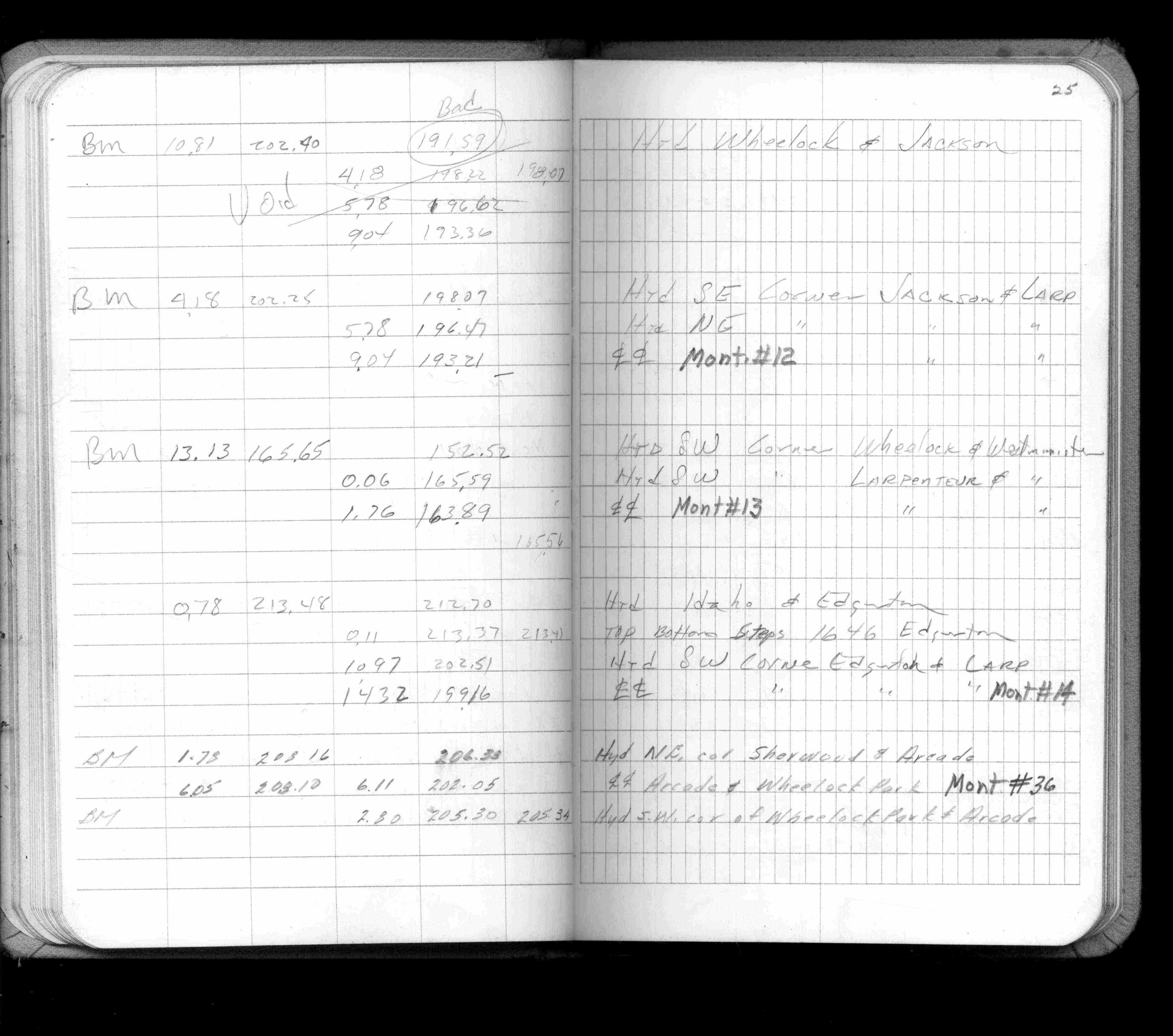
| 4/1/1982 | (Unknown date Apr __, 1982 ) Elev 199.16 ft on CLCL. See FB 1421A p.25 |
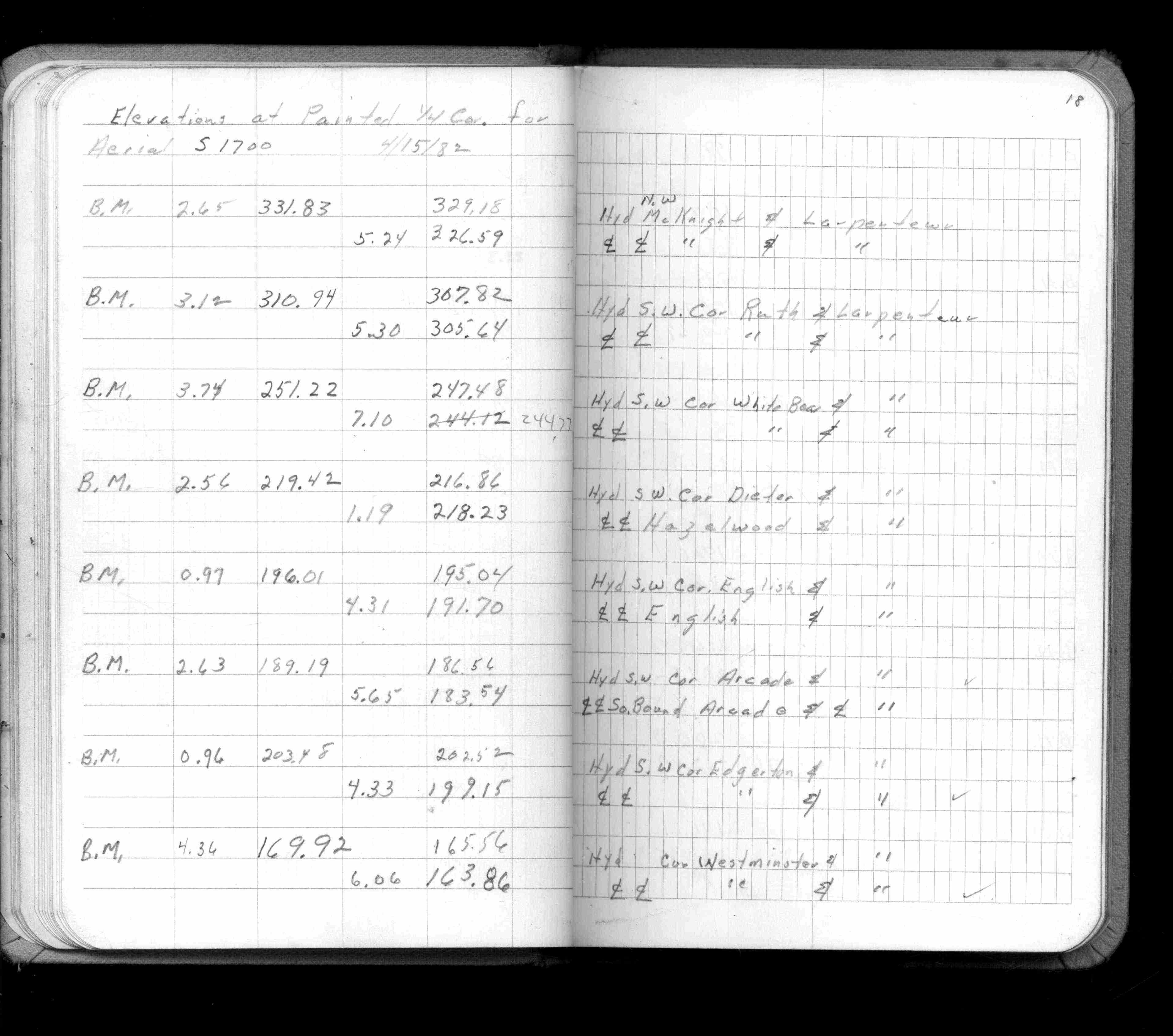
| 4/1/1982 | (Unknown date Apr __, 1982 ) Elev 199.15 ft on CLCL. See FB 1421A p.18 |
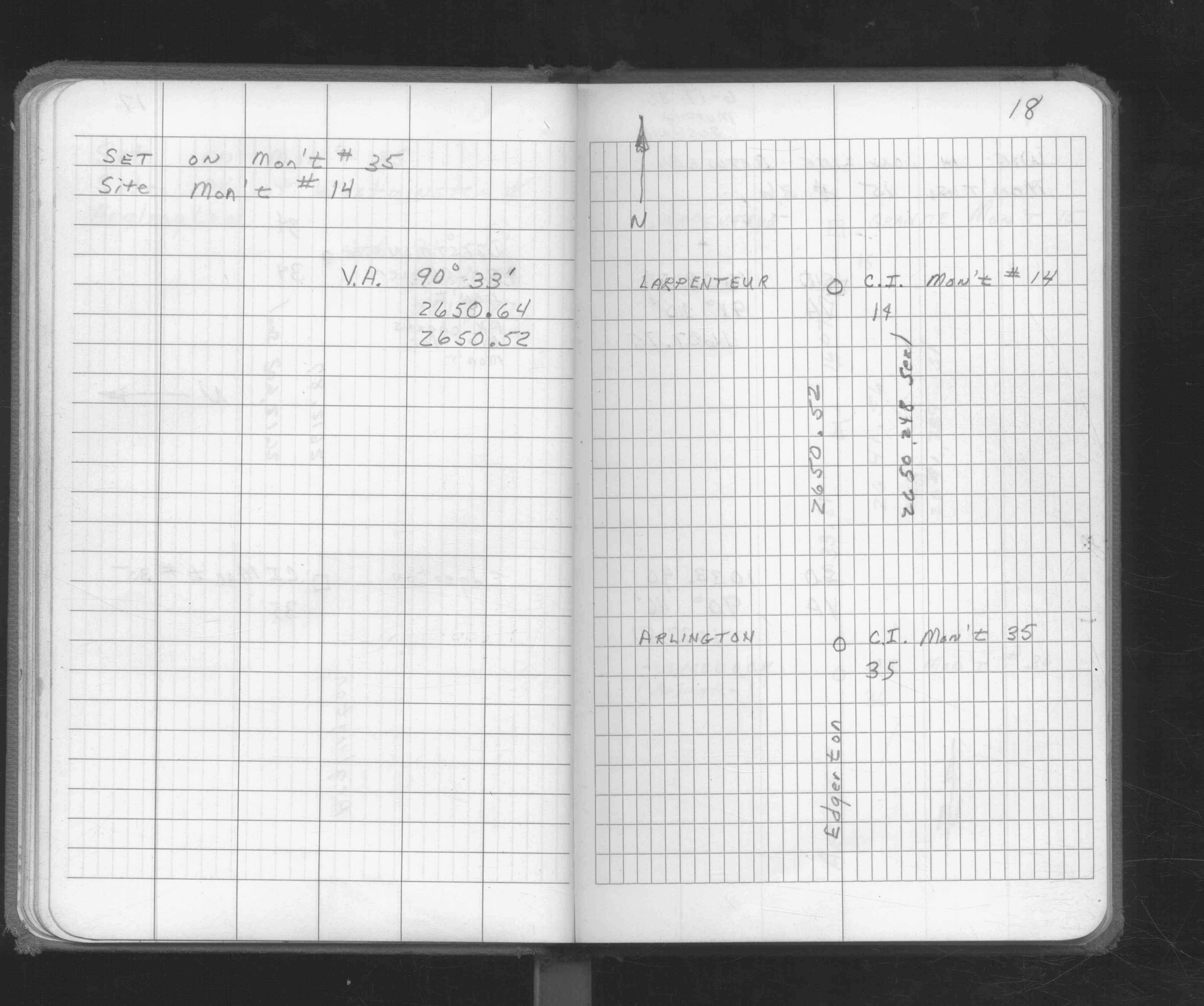
| 6/1/1980 | (Unknown date Jun __, 1980 ) Fd CIM inplace. See FB 1676 p.18 |
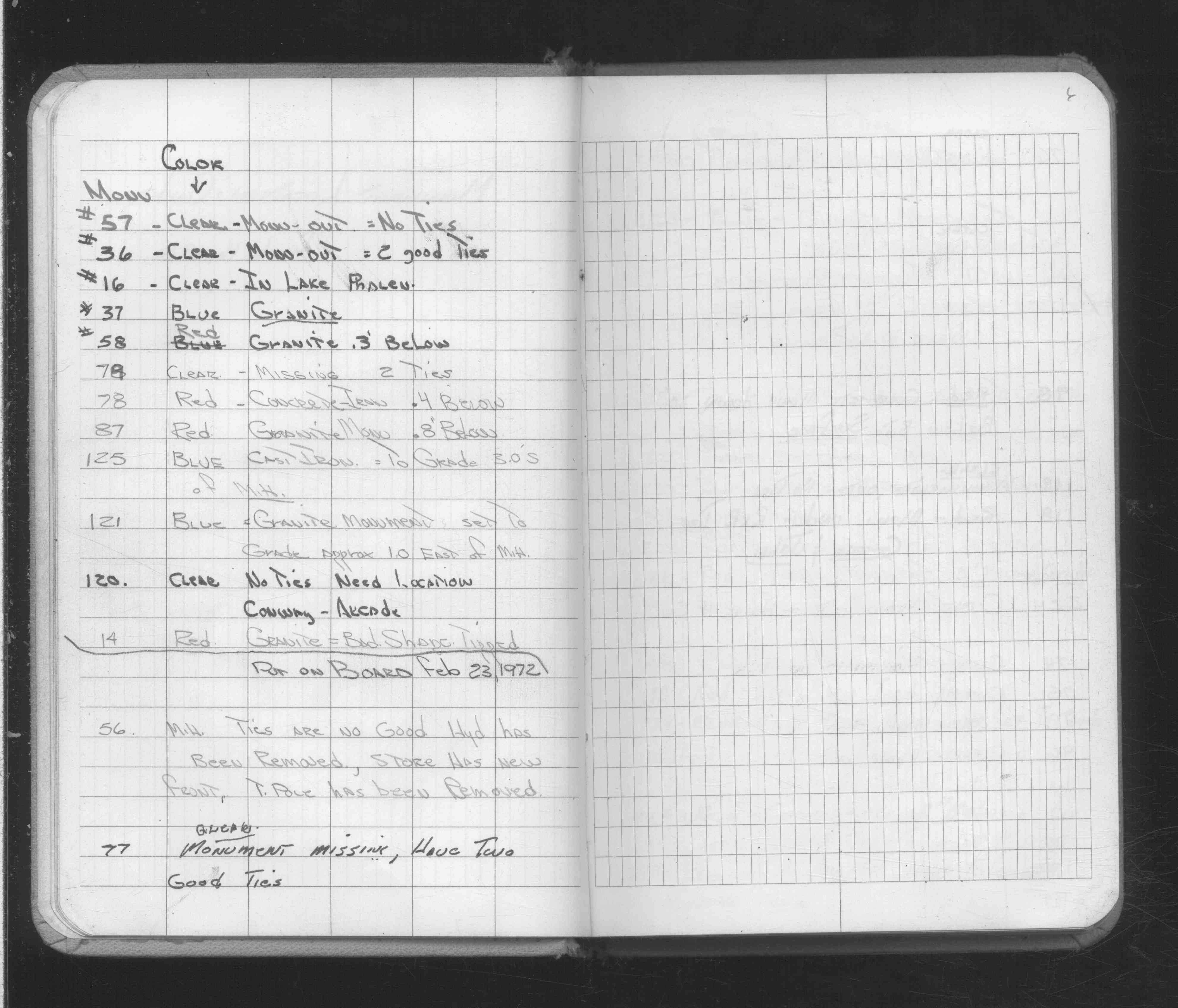
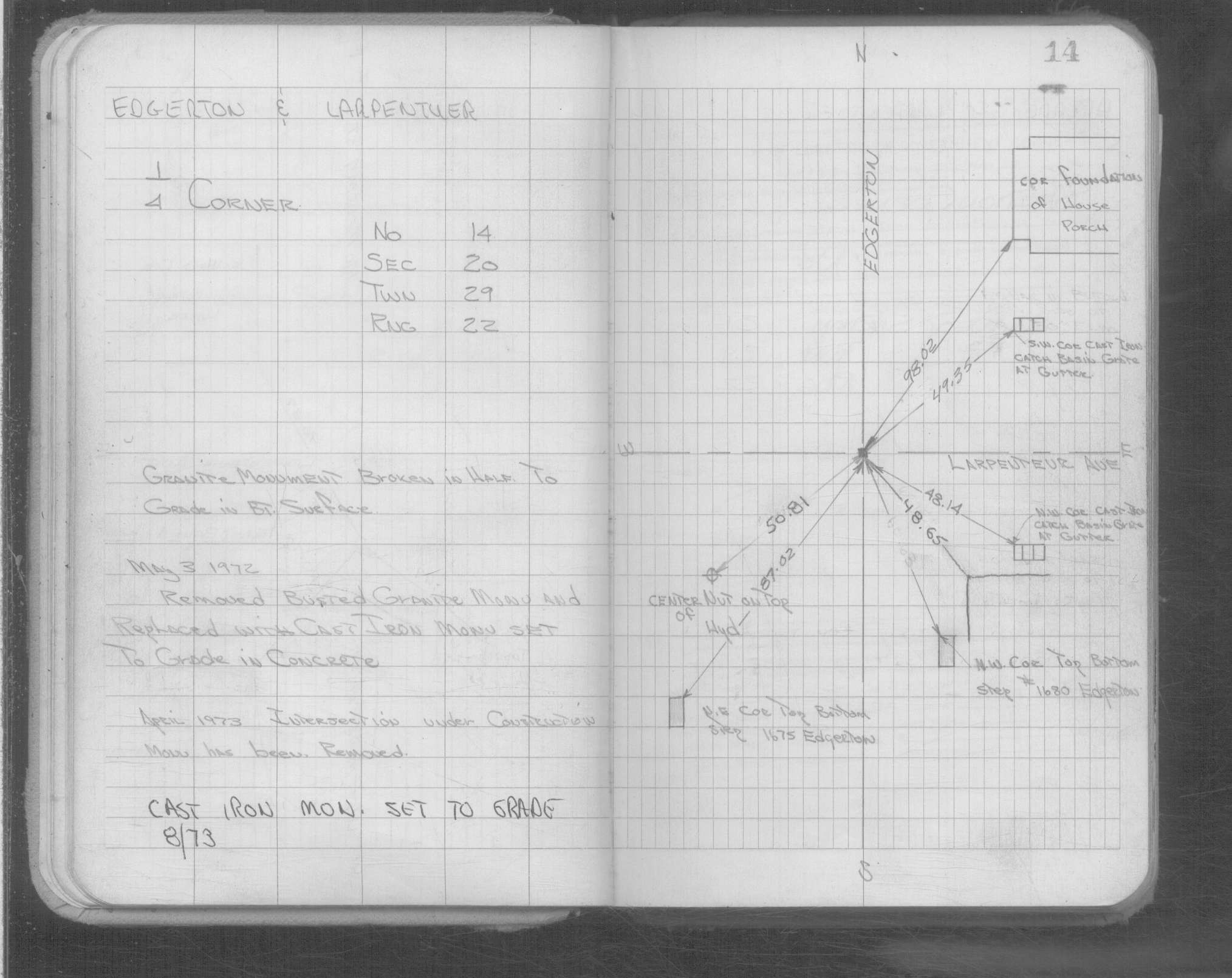
| 8/1/1973 | (Unknown date Aug __, 1973 ) CIM set to grade. See Yellow Tie Book. |
| 4/1/1973 | (Unknown date Apr __, 1973 ) Intersection under construction, monument has been removed. See Yellow Tie Book. |
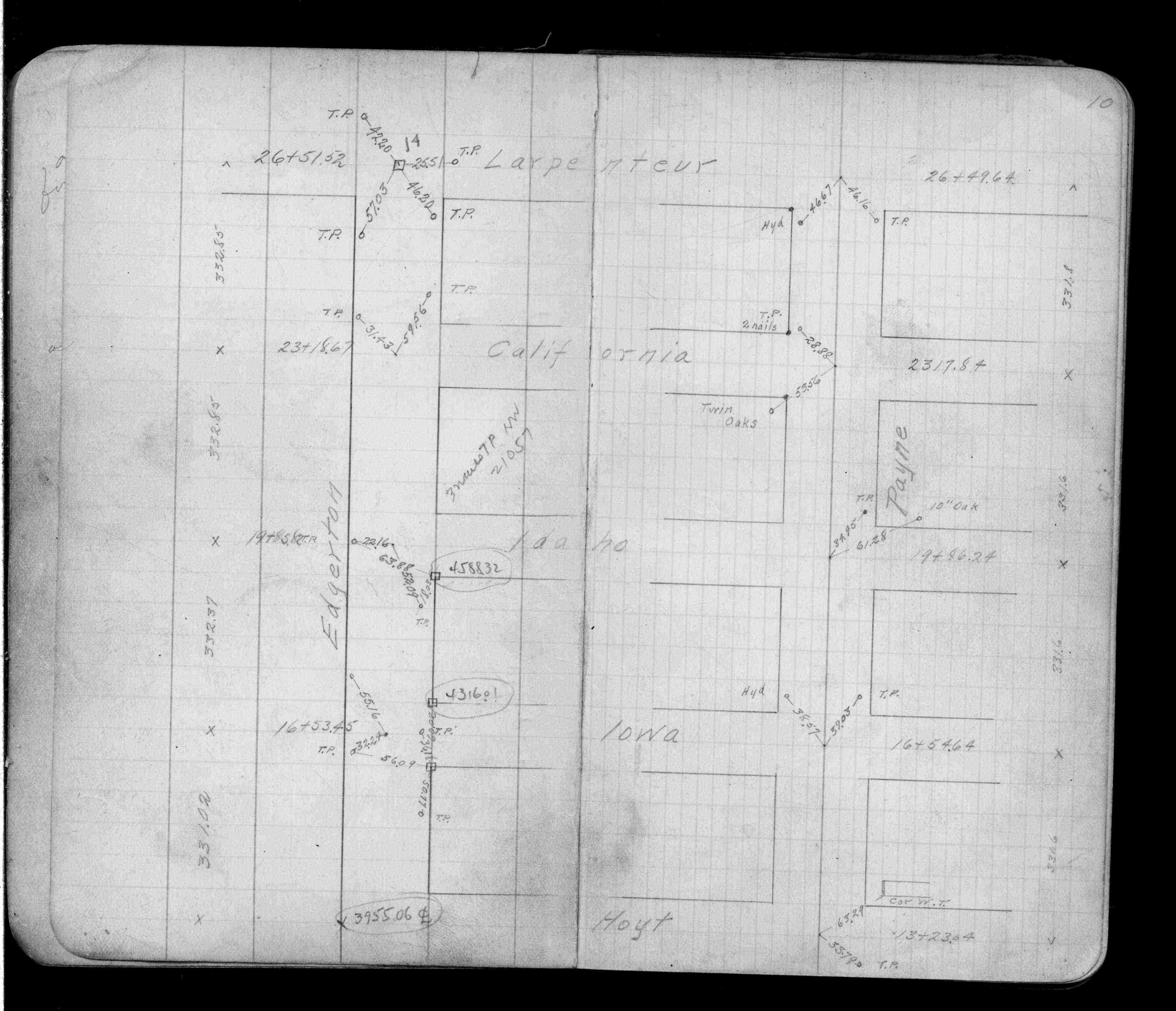
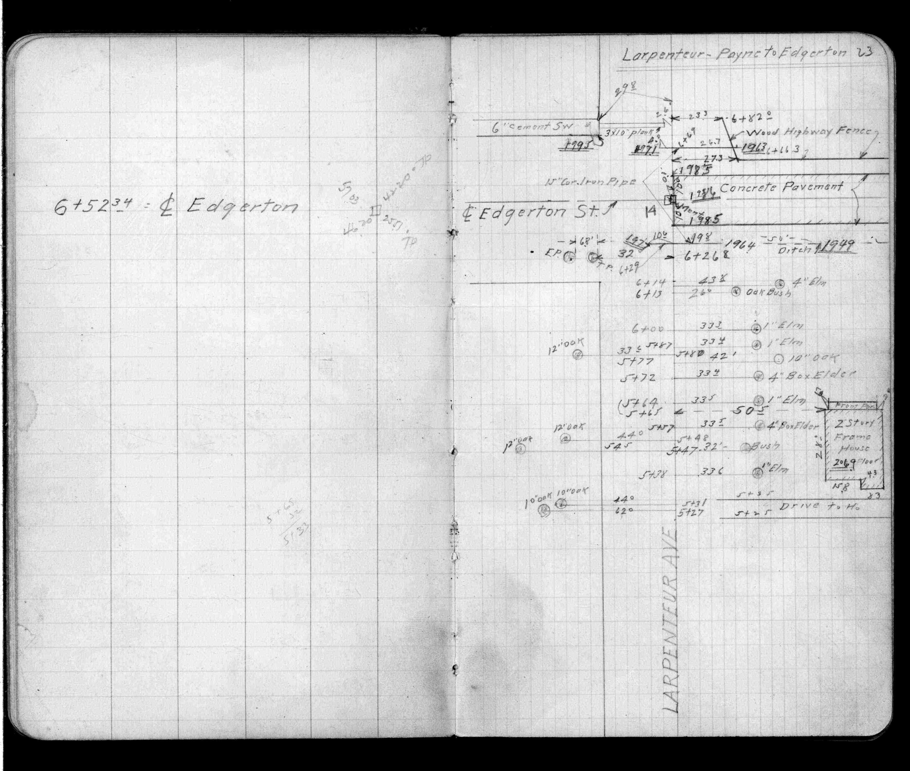
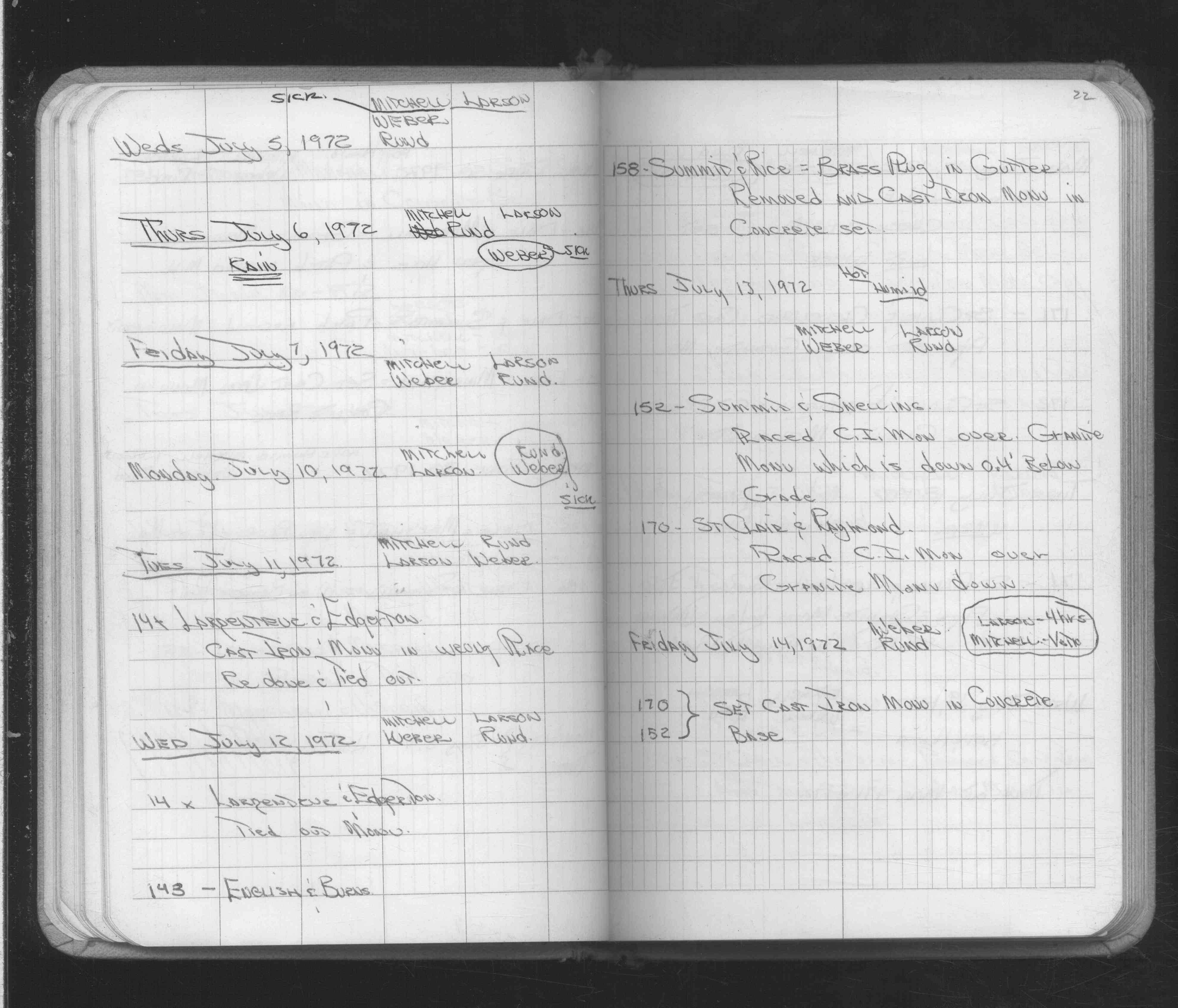
| 7/11/1972 | CIM in wrong place, redone & tied out. See FB 1689A p.22 |
| 5/3/1972 | Removed busted GM & replaced with CIM set to grade in concrete. See Yellow Tie Book & FB 1689A p.13 |
| 2/16/1972 | Fd GM tipped, bad shape. See FB 1689A p.6 |
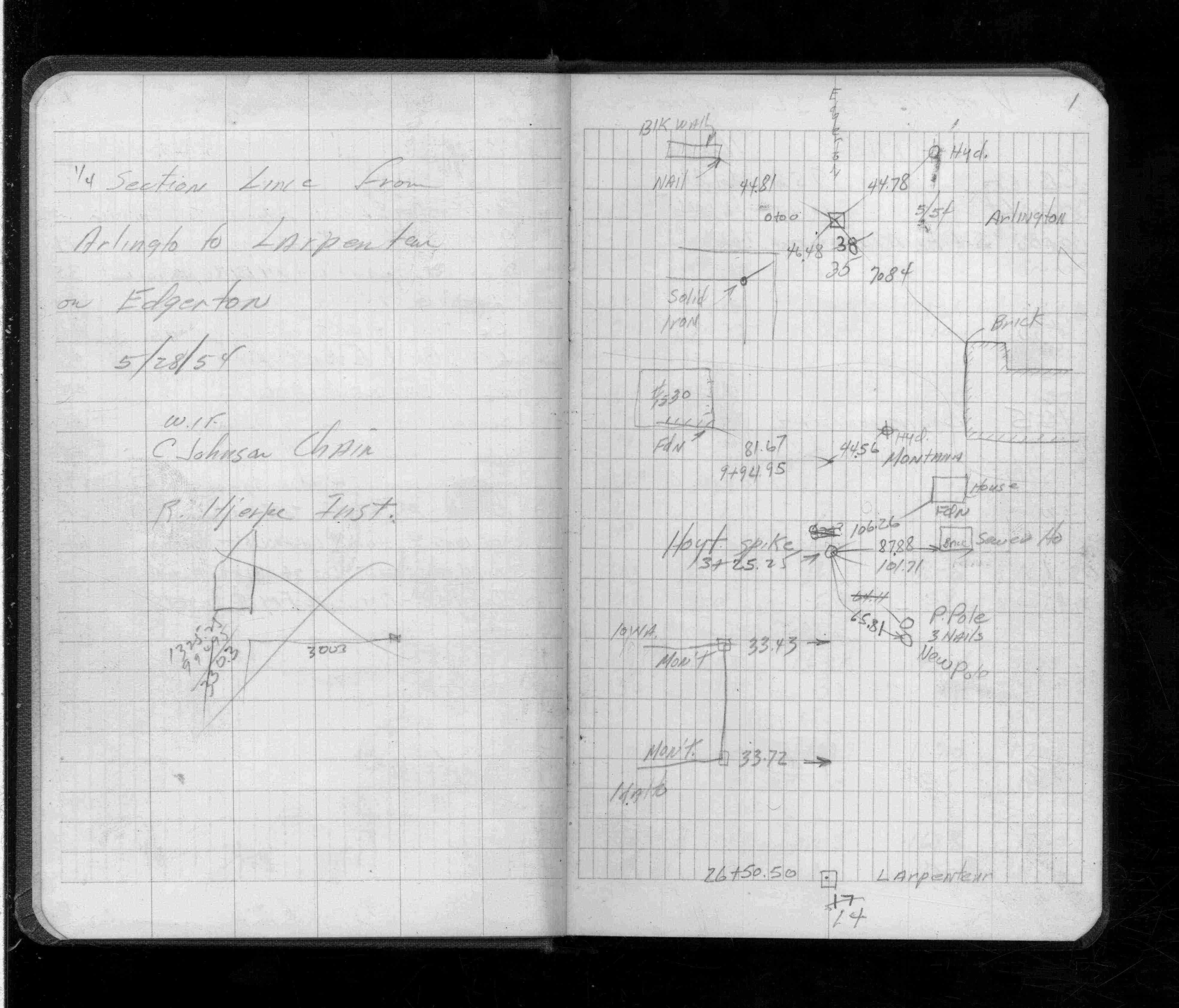
| 5/28/1954 | Placed ties. See FB 1452 p.1 |
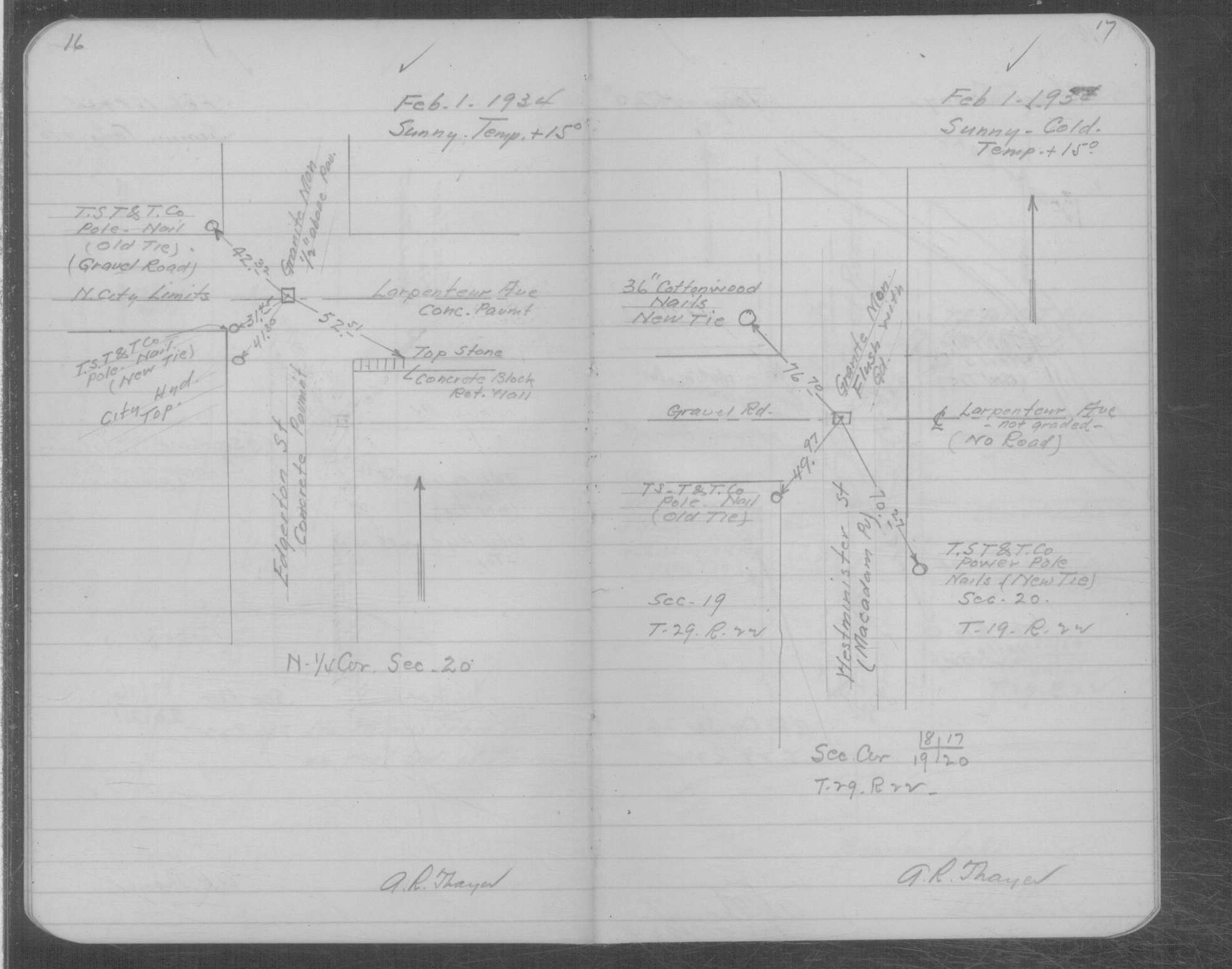
| 2/1/1934 | Placed ties on the GM. See book MSX 3 p. 16-17. |
| 1/26/1889 | Monument reset by Chas Hunt after grading |
| 9/1/1887 | (Unknown date Sep __, 1887 ) Monument set by J H Armstrong |
| 11/1/1847 | (Unknown date Nov __, 1847 ) Isaac N Higbee deputy surveyor set post. Tied to 2 BTs. See IH p.216-217 2922 |
| 1/1/1800 | (Unknown date ___ __, 18?? ) Elev 198.960 ft on GM. See Old Benches Book, Entry 1699 |
| 1/1/1800 | (Unknown date ___ __, ____ ) GM broken in half to grade in bituminous surface. See Yellow Tie Book. |
Above is NOT an all inclusive history of this point. Please review all the links below. Yellow Tie Books are 'ST' in the Monument category.
| PLS NOTES | Field | Cross Section | Sewer | J.B. Irvine | Monument | River Survey |
|---|---|---|---|---|---|---|
| IH p.216-217 | FB 0209p.23 | ST 001-078 p.014 | ||||
| FB 0354p.34 | MSX 0003 p.016-017 | |||||
| FB 0769p.37 | ||||||
| FB 0778p.27 | ||||||
| FB 0894p.10 | ||||||
| FB 1047Ap.23 | ||||||
| FB 1421Ap.18 | ||||||
| FB 1421Ap.25 | ||||||
| FB 1452p.01 | ||||||
| FB 1452p.01 | ||||||
| FB 1549Fp. 70 ,77 | ||||||
| FB 1604p.19 | ||||||
| FB 1634Cp. 31 ,32 | ||||||
| FB 1676p.18 | ||||||
| FB 1676p.18 | ||||||
| FB 1689Ap.22 | ||||||
| FB 1689Ap.06 | ||||||
| FB 1708Ap.35 | ||||||
| FB 1736p.04 |
| FILE | SURVEYOR | LIC. NO. | DATE SIGNED | DATE TIED |
|---|---|---|---|---|
| 0014-1062-A.tif | Jeffery L. Grosso | 13144 | March 11, 2001 | March 9, 2001 |
| ST_001-078p014.jpg | none | none | none | none |
| 0014-1062-A.dwf | none | none | none | none |
| FILE | PHOTO DATE | COMMENTS |
|---|---|---|
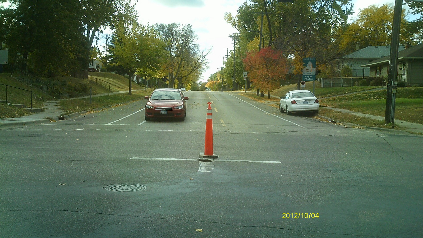
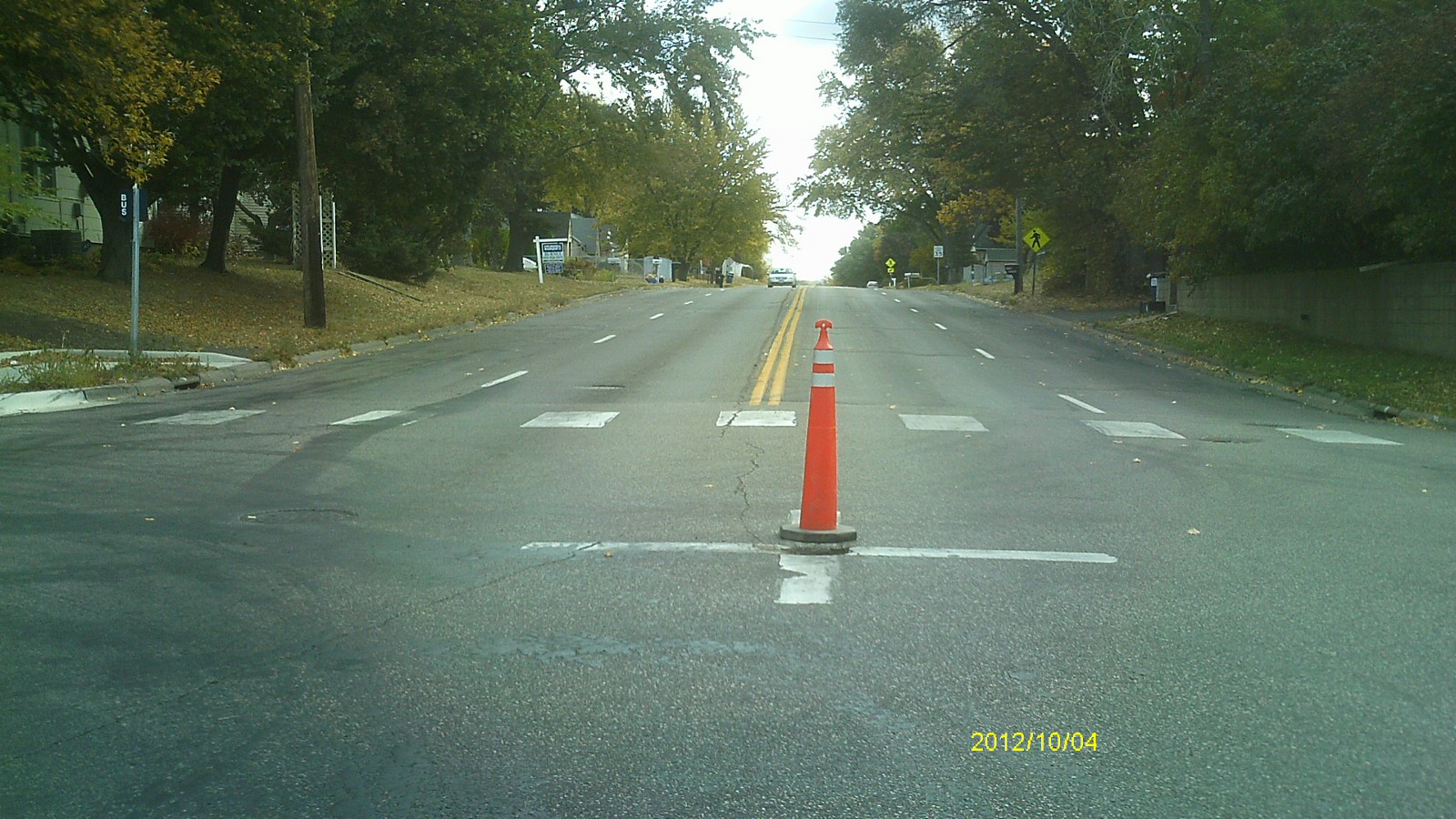
| 0014-1062-5.jpg | October 4, 2012 | Looking west along Larpenteur Ave. |
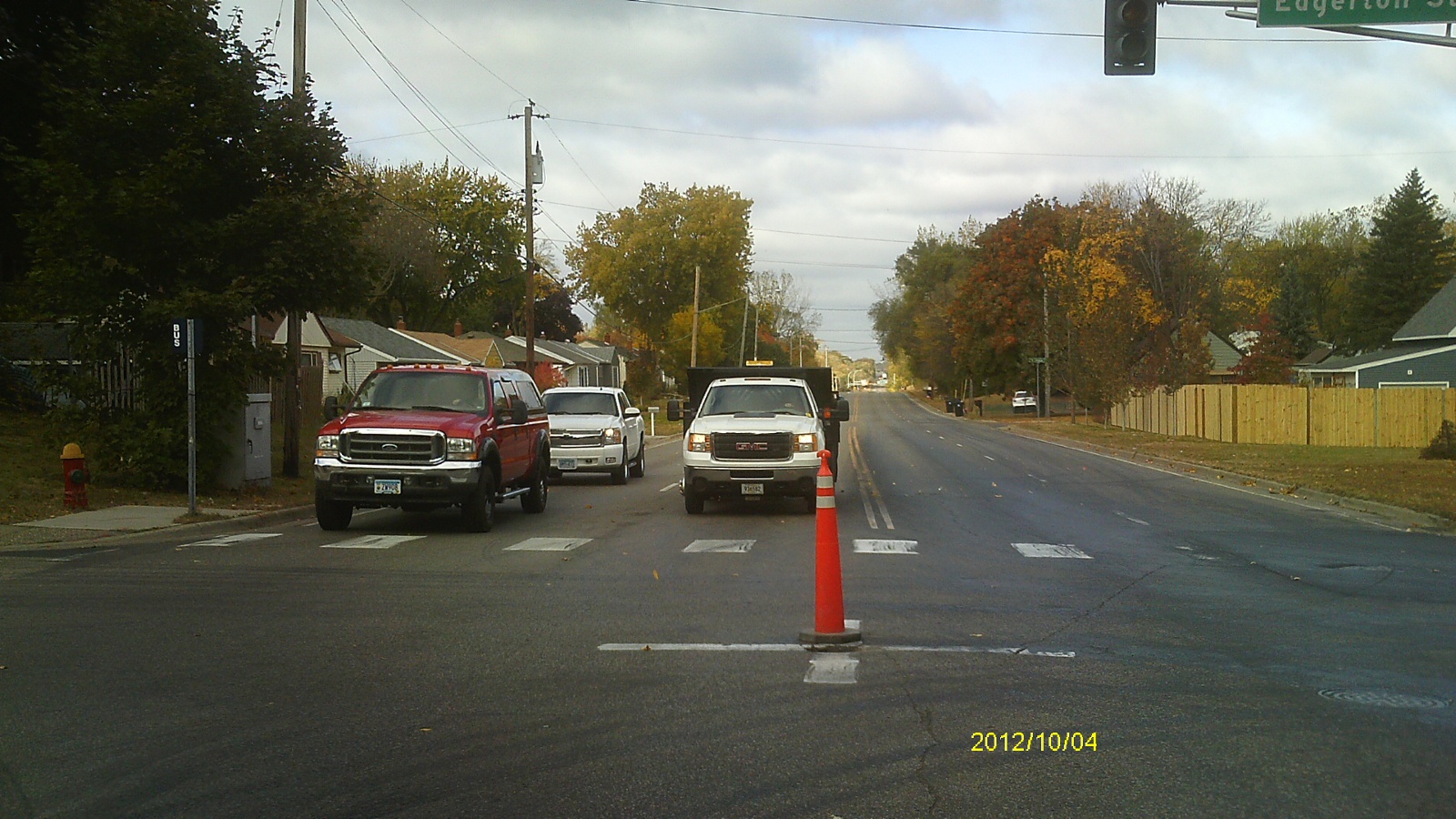
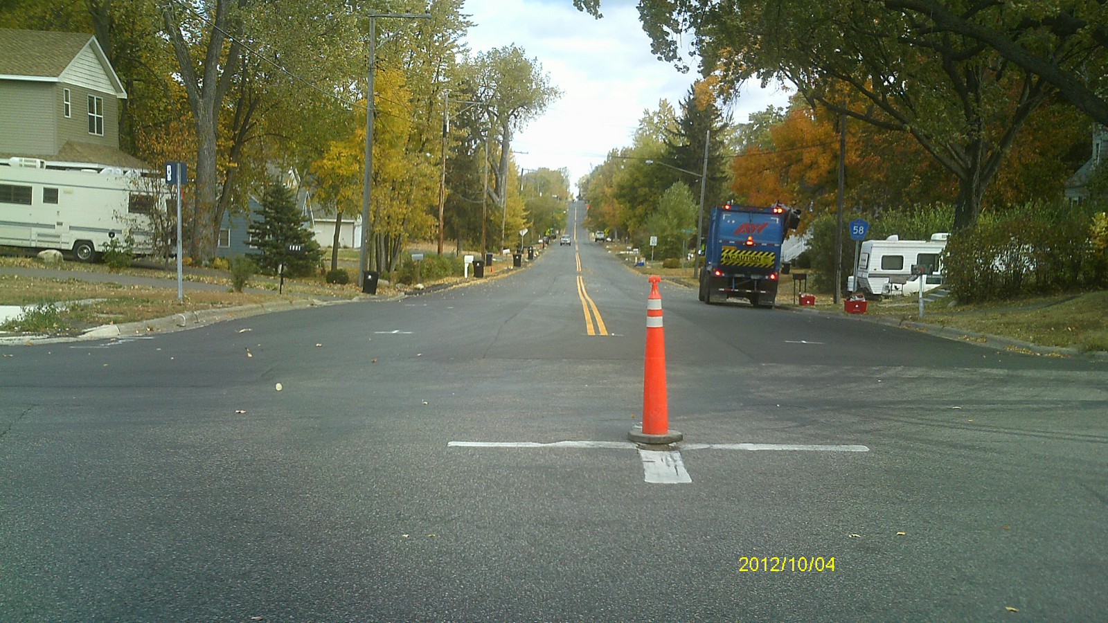
| 0014-1062-4.jpg | October 4, 2012 | Looking south along Edgerton St. |
| 0014-1062-3.jpg | October 4, 2012 | Looking east along Larpenteur Ave. |
| 0014-1062-2.jpg | October 4, 2012 | Looking north along Edgerton St. |
| 0014-1062-1.jpg | October 4, 2012 | Close up of monument. |