| NAD83 COORDINATES (1986 adj.): |
|---|
| * X= 561281.13 Y= 170676.06 Z= 0 CMP 5/5/1999 |
| X= 561281.29 Y= 170675.86 Z= 0 CMP 12/17/1991 |
| 3/24/1972 | Monument not found. See FB 1689A p.9 |
| 6/7/1888 | Monument removed during grading on park & reset by J H Armstrong from ties in Como Park survey book See Old Index Book, Entry 4 |
| 3/21/1877 | One bearing stump in. See Old Index Book, Entry 4 |
| 1/1/1800 | (Unknown date ___ __, ____ ) Iron placed near proposed monument; in Como Golf course. |
Above is NOT an all inclusive history of this point. Please review all the links below.
| PLS NOTES | Field | Cross Section | Sewer | J.B. Irvine | Monument | River Survey |
|---|---|---|---|---|---|---|
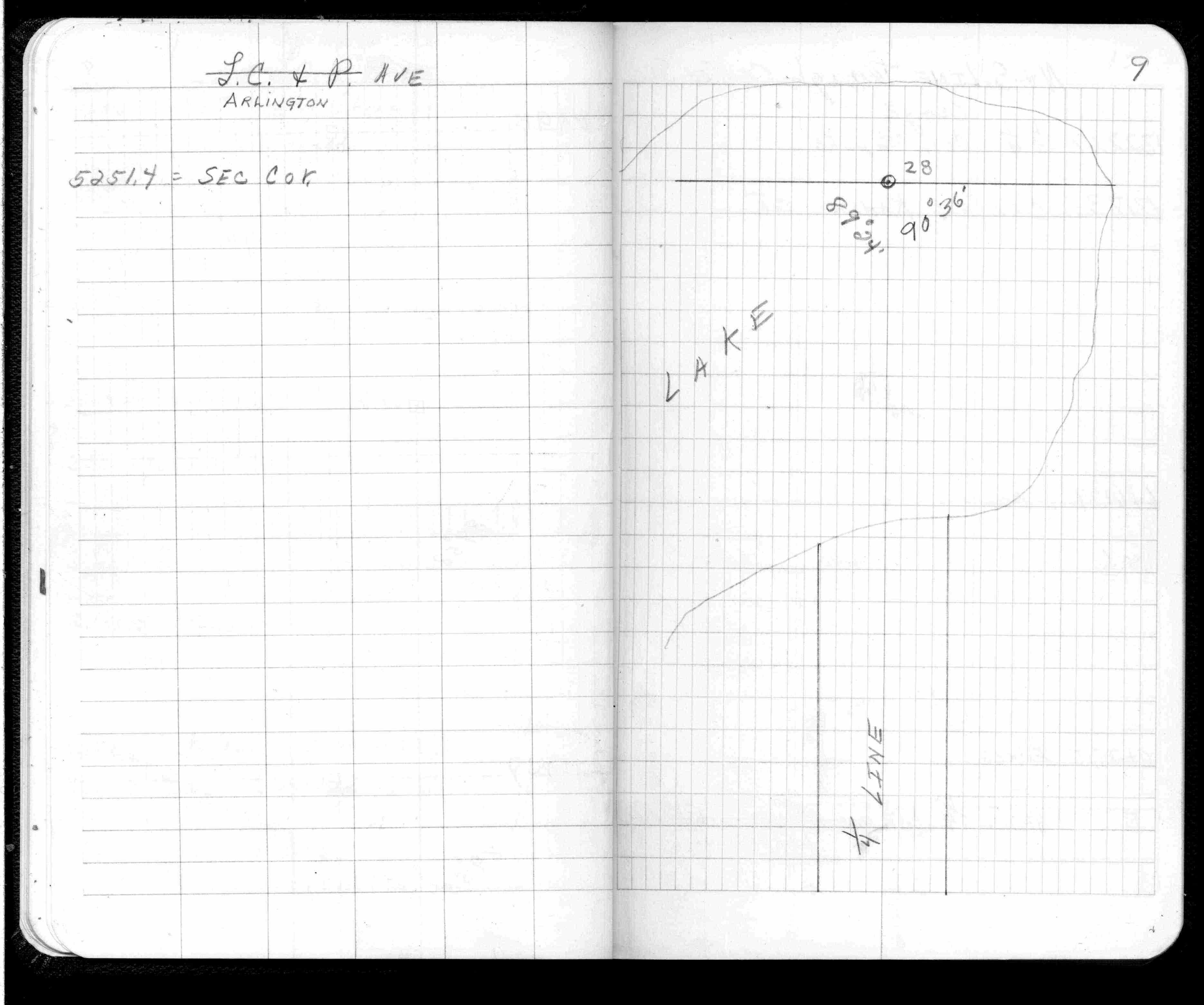
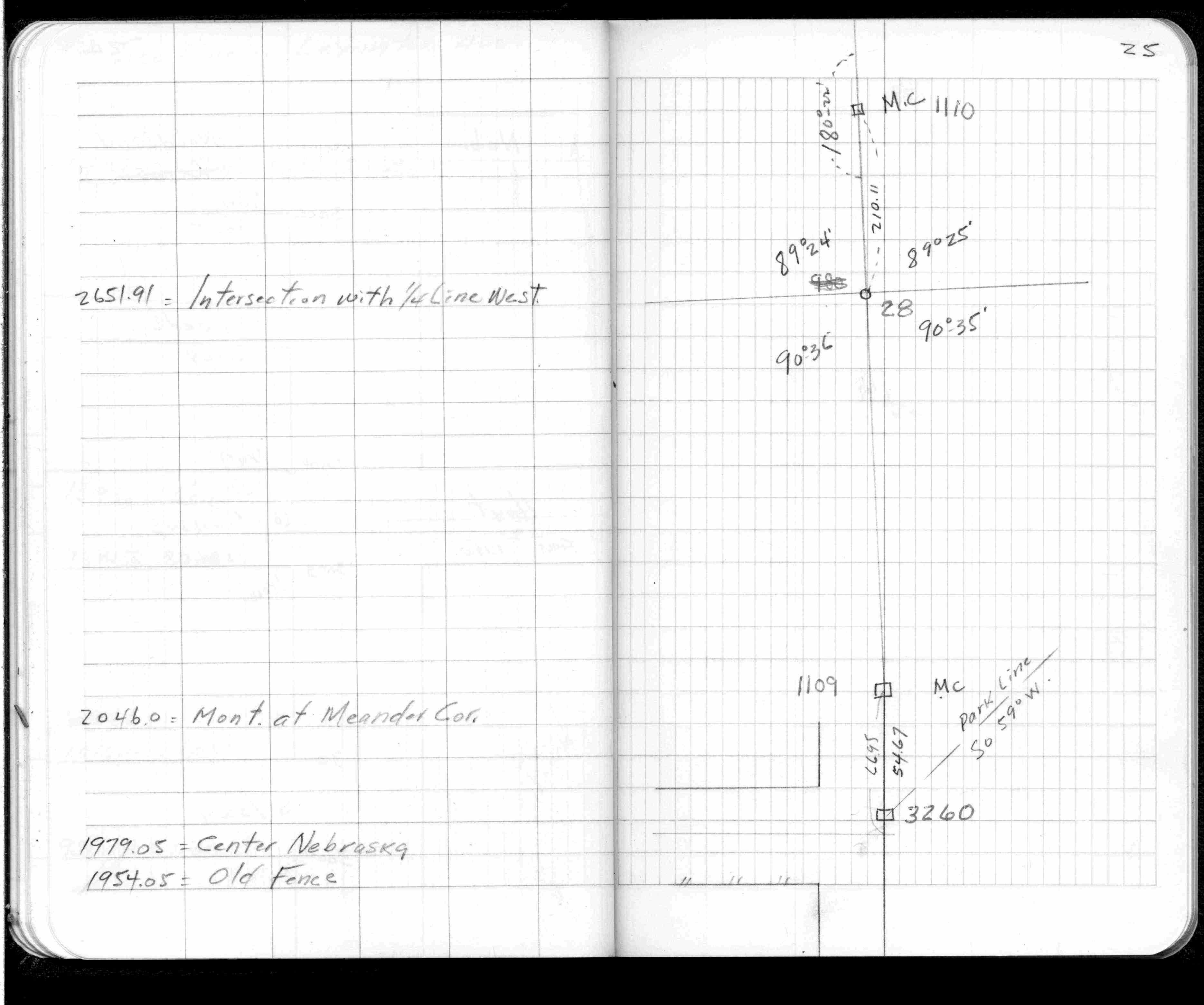
| FB 0313CPYp. 09 ,25 | ||||||
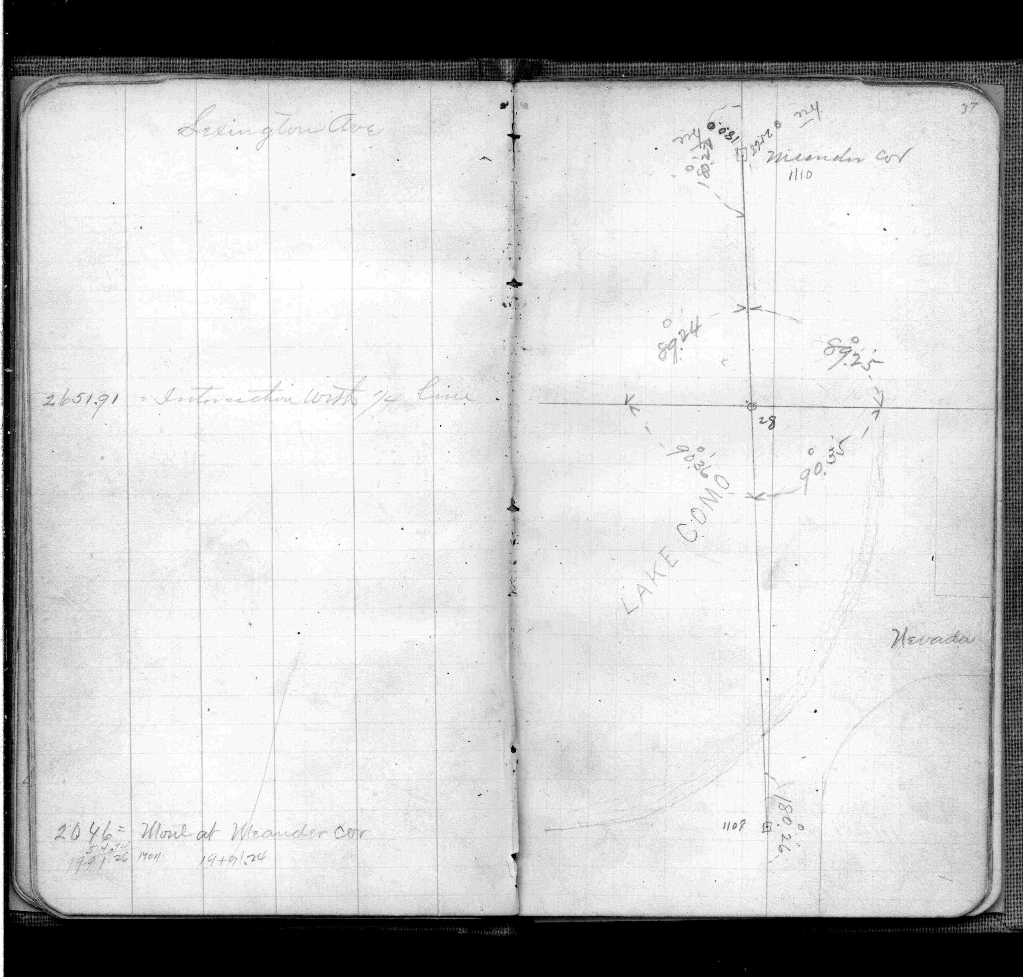
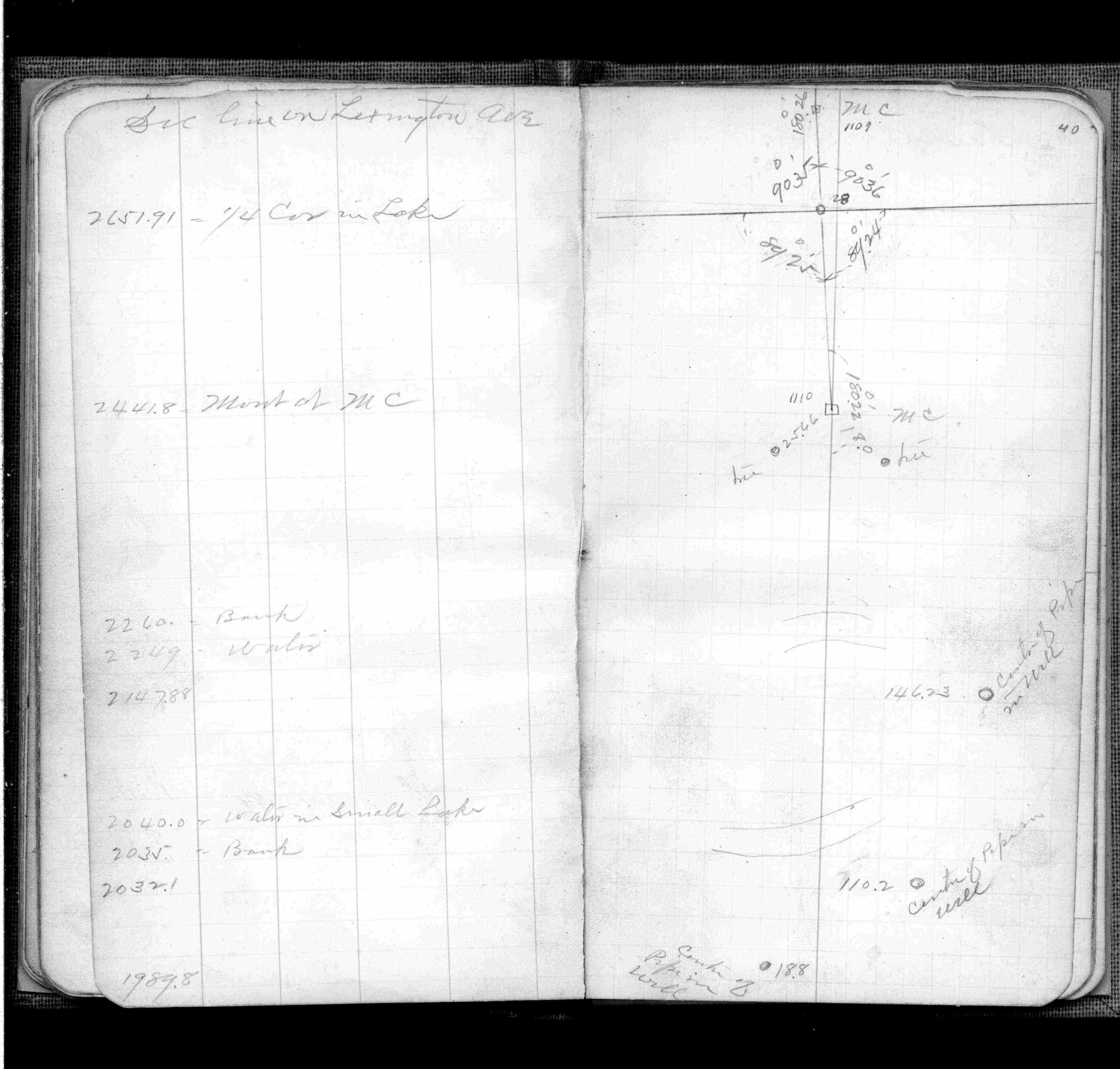
| FB 0345p. 37 ,40 | ||||||
| FB 1689Ap.09 |