| NAD83 COORDINATES (1986 adj.): |
|---|
| * X= 597875.71 Y= 170835.91 Z= 0 LSQ 12/6/1991 S FLT |
| X= 597875.75 Y= 170835.98 Z= 998.8 1/31/2008 RTK-VRS |
| 1/31/2008 | Position on CIM established by RTK-VRS GPS. Elev 998.8 ft |
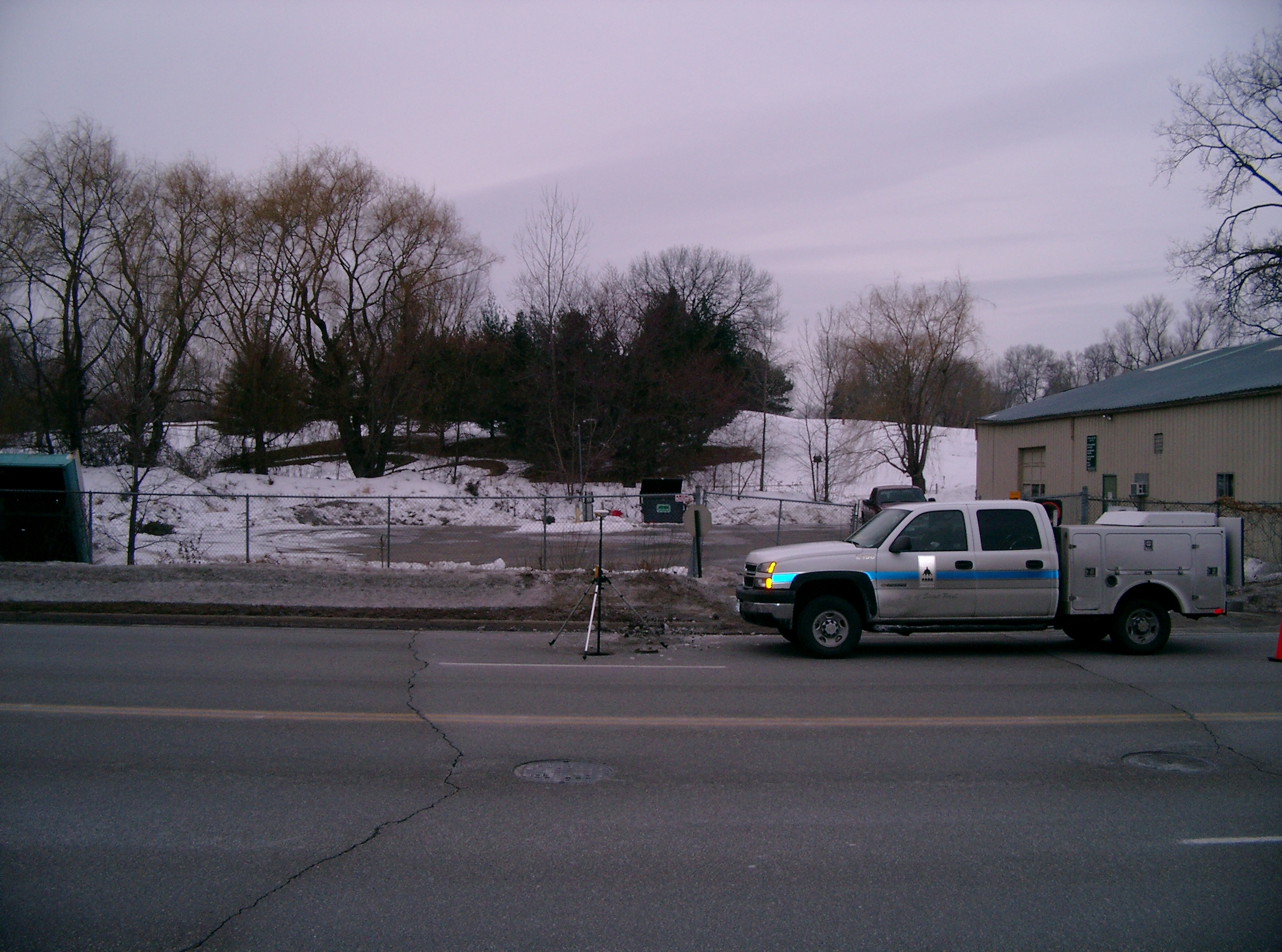
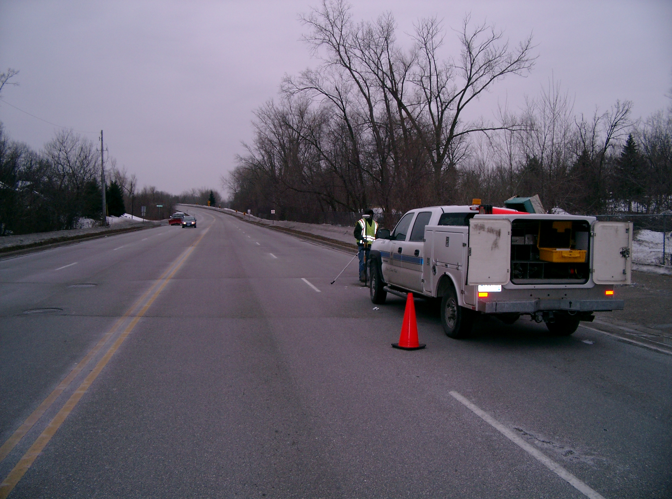
| 1/29/2008 | Photos taken. |
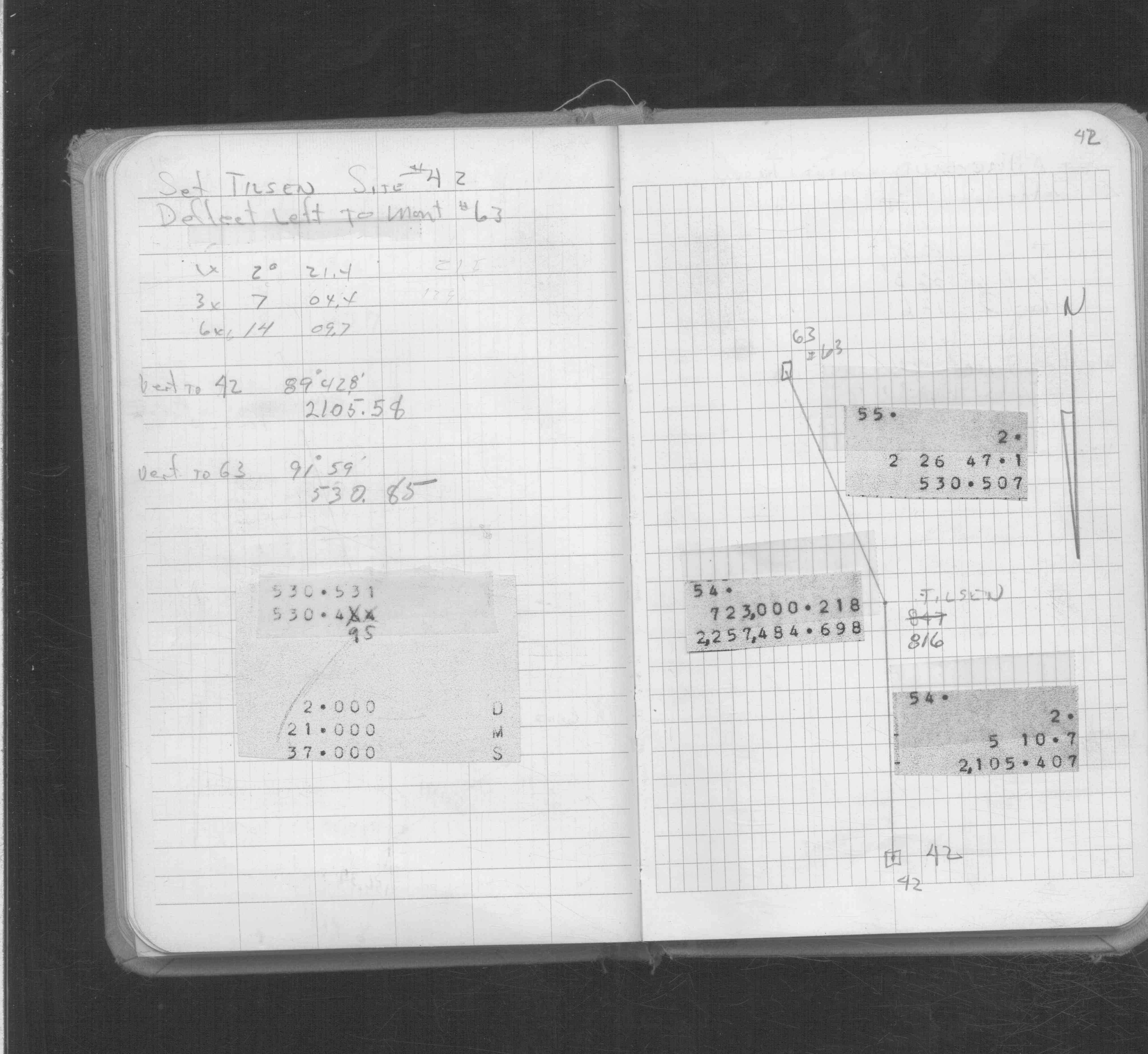
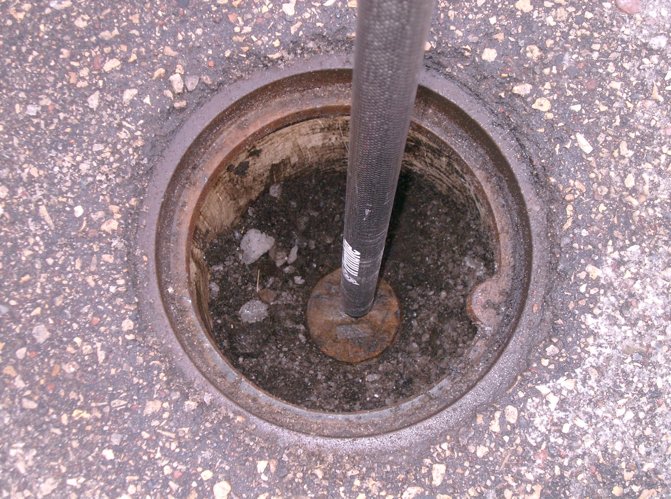
| 1/29/2008 | Fd CIM 1.08 ft below grade inside casting. Places ties. See CofL 0042-1874-A |
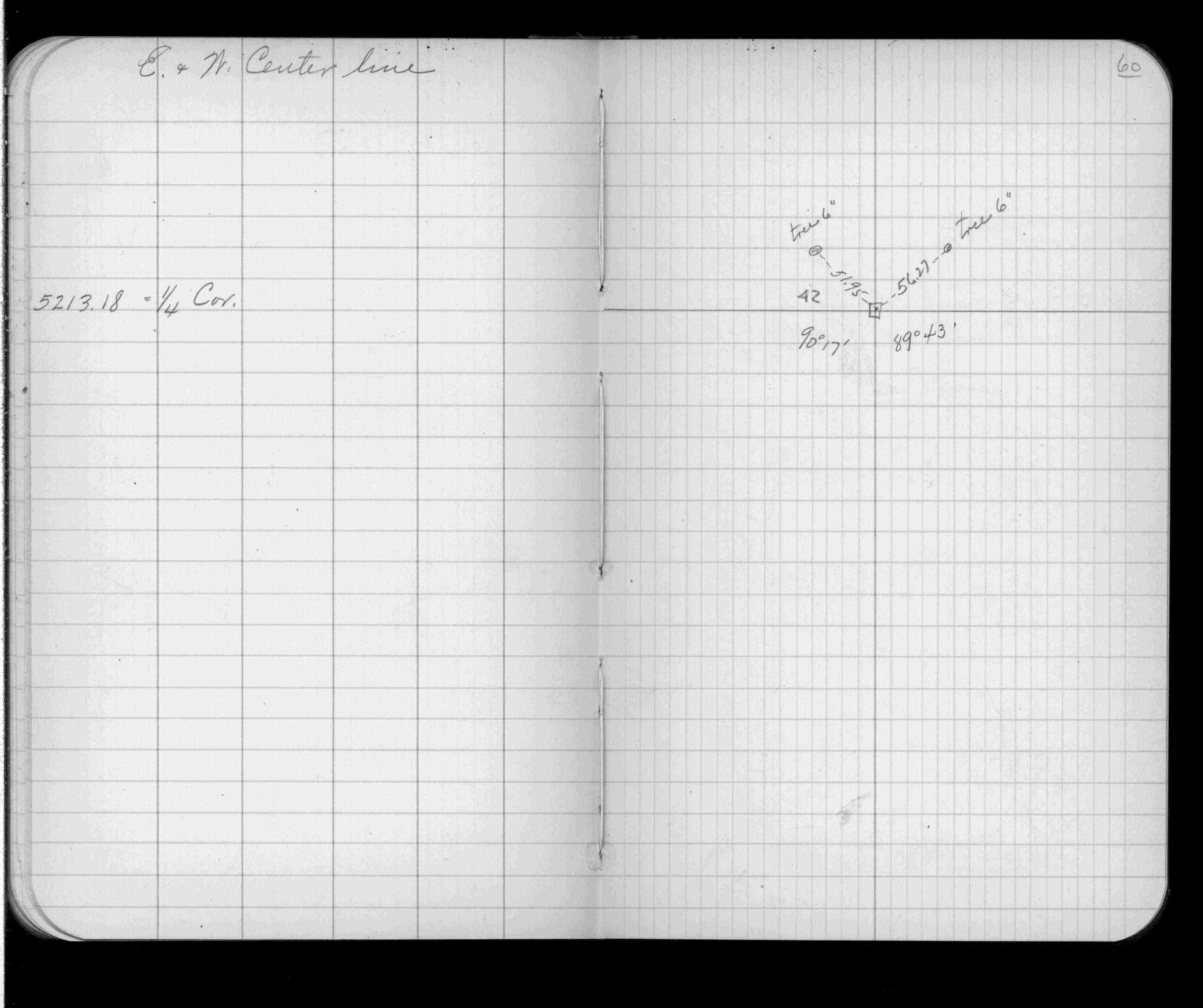
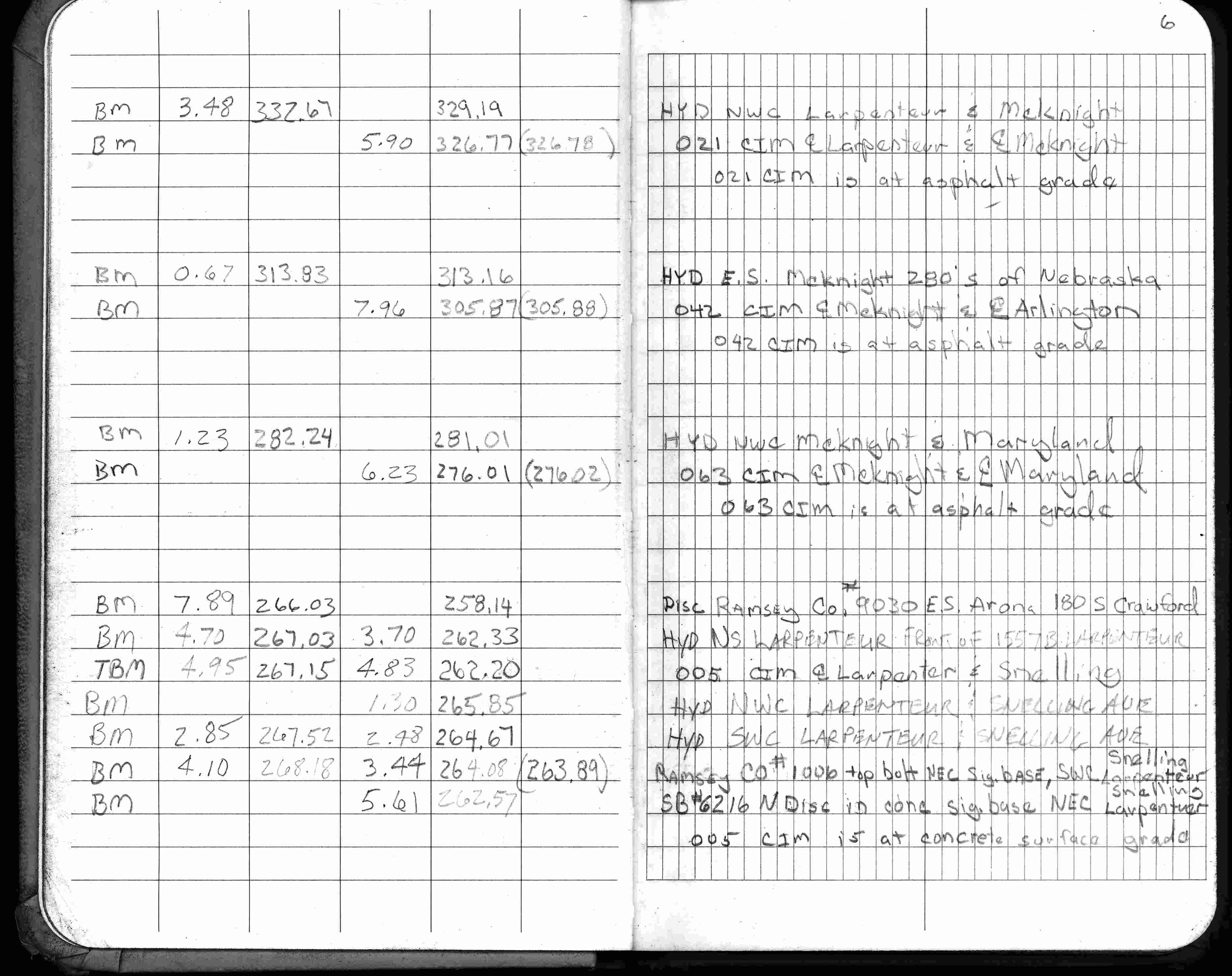
| 12/19/2001 | Elev 305.87 ft on CIM 0.42 below asphalt surface. See FB 1736 p.6 |
| 6/2/1989 | Ramsey County Surveyors office set a 20" CIM. Phone conversation with Ron Meyer on Jan 17, 2002 |
| 1/1/1988 | (Unknown date ___ __, 1988 ) CIM removed during the county's McKnight Rd construction project. |
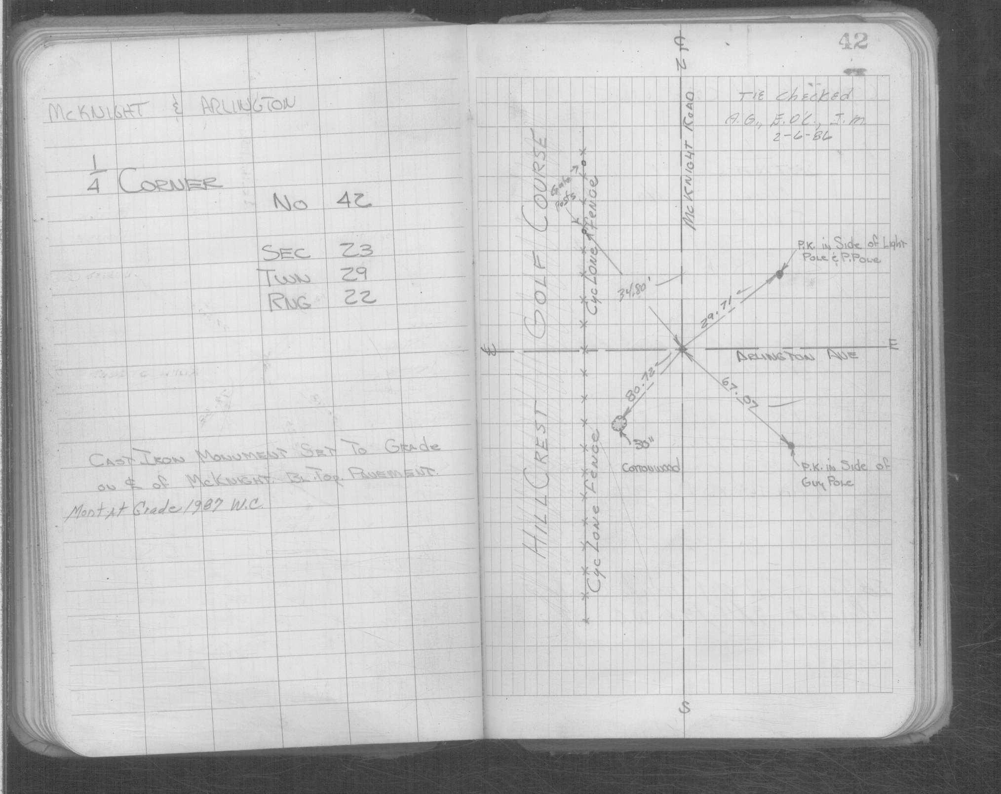
| 9/2/1987 | Placed ties on CIM. See FB 1676B p.65 |
| 1/1/1987 | (Unknown date ___ __, 1987 ) Monument at grade. See Yellow Tie Book. |
| 2/6/1986 | Ties checked. See Yellow Tie Book. |
| 4/1/1982 | (Unknown date Apr __, 1982 ) Elev 304.96 ft on CLCL. See FB 1421A p.20 |
| 11/8/1937 | Knute Anker, Ramsey County Engineer reset GM. Phone message from Ron Meyer on Jan 18, 2002 |
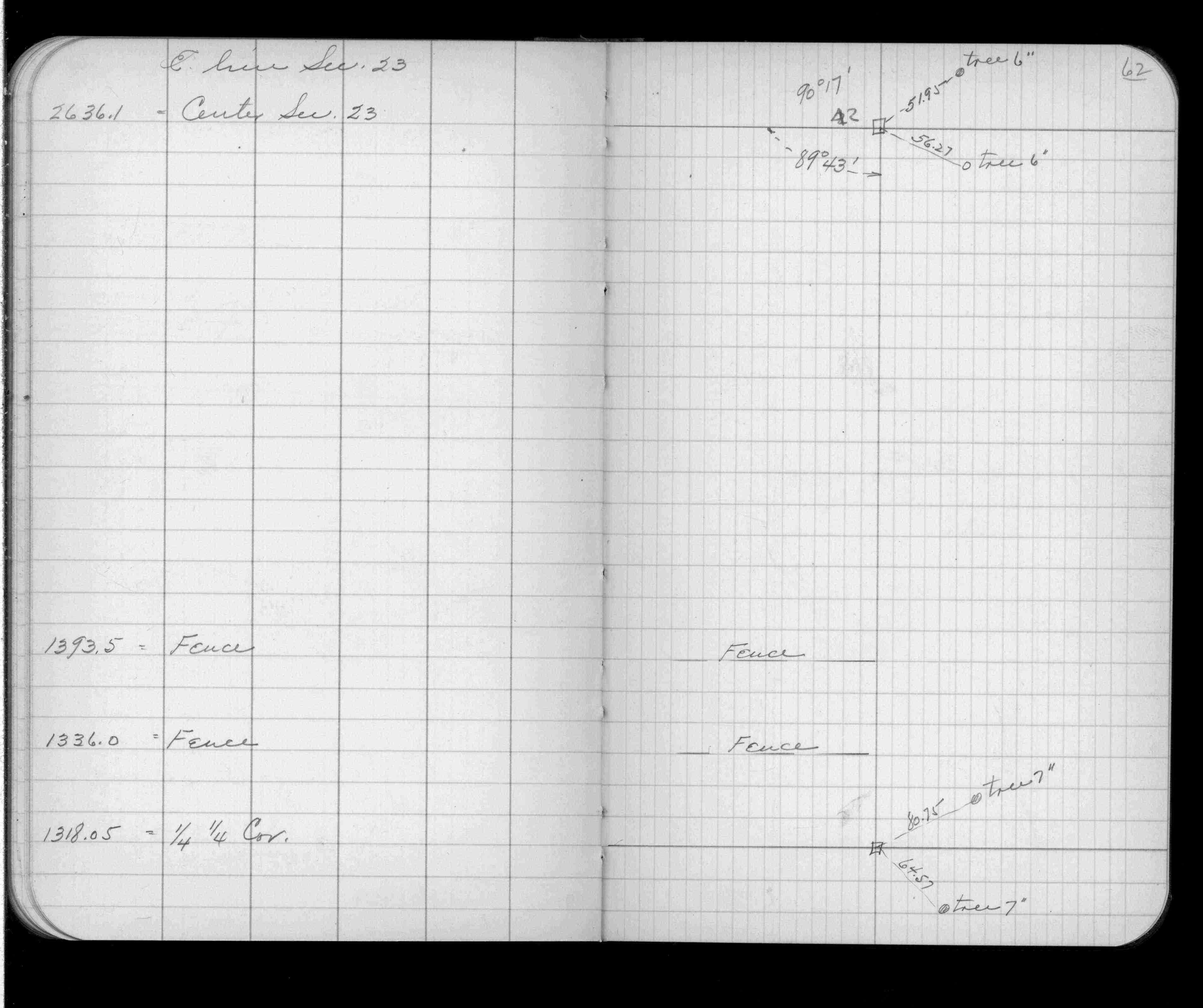
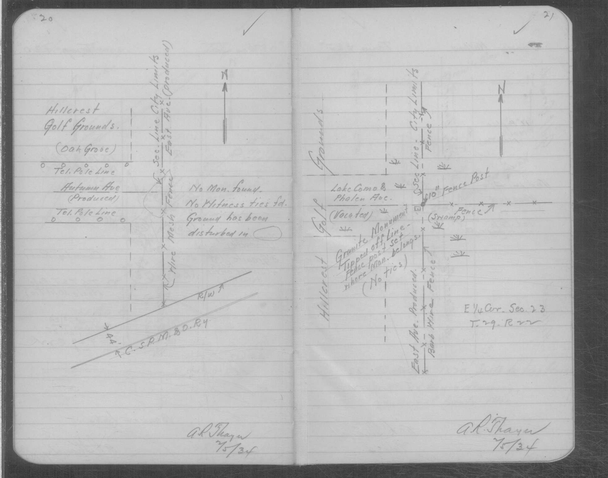
| 2/5/1934 | Found the GM tipped with fench post set where the monument belongs. See book MSX 3 p.20-21. |
| 12/31/1899 | (Unknown date ___ __, 19__ ) CIM set to grade in blacktop pavement. See Yellow Tie Book. |
| 7/10/1890 | Monument set by J H Armstrong. See Old Index Book, Entry 1874 |
| 11/1/1847 | (Unknown date Nov __, 1847 ) Isaac N Higbee deputy surveyor set post. Tied to 2 BTs. See IH p.168-169 2922 |
Above is NOT an all inclusive history of this point. Please review all the links below. Yellow Tie Books are 'ST' in the Monument category.
| PLS NOTES | Field | Cross Section | Sewer | J.B. Irvine | Monument | River Survey |
|---|---|---|---|---|---|---|
| IH p.168-169 | FB 0328CPYp. 60 ,62 | ST 001-078 p.042 | ||||
| FB 1421Ap.20 | MSX 0003 p.020-021 | |||||
| FB 1549D2p.70 | ||||||
| FB 1549Ip. 64 ,71 | ||||||
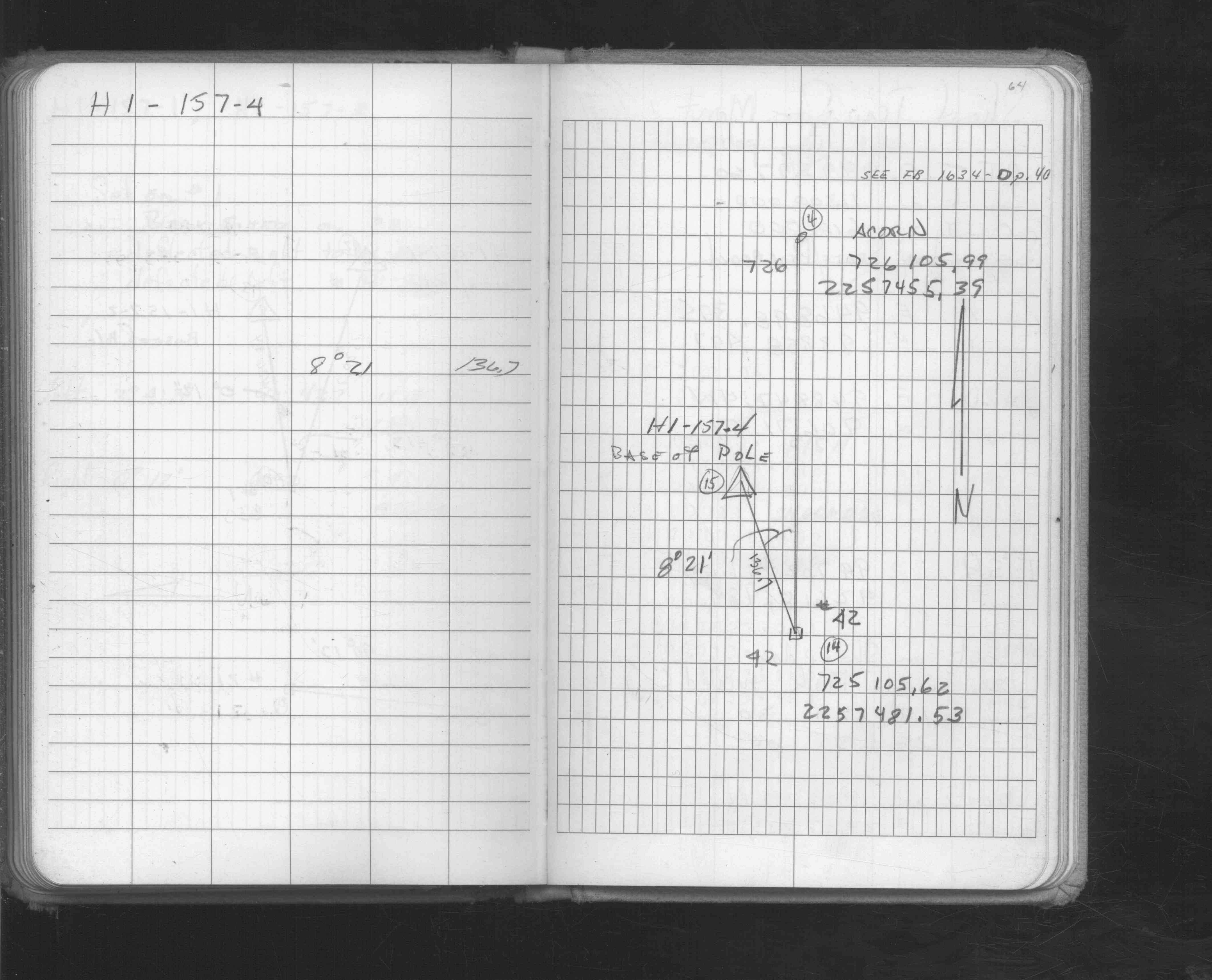
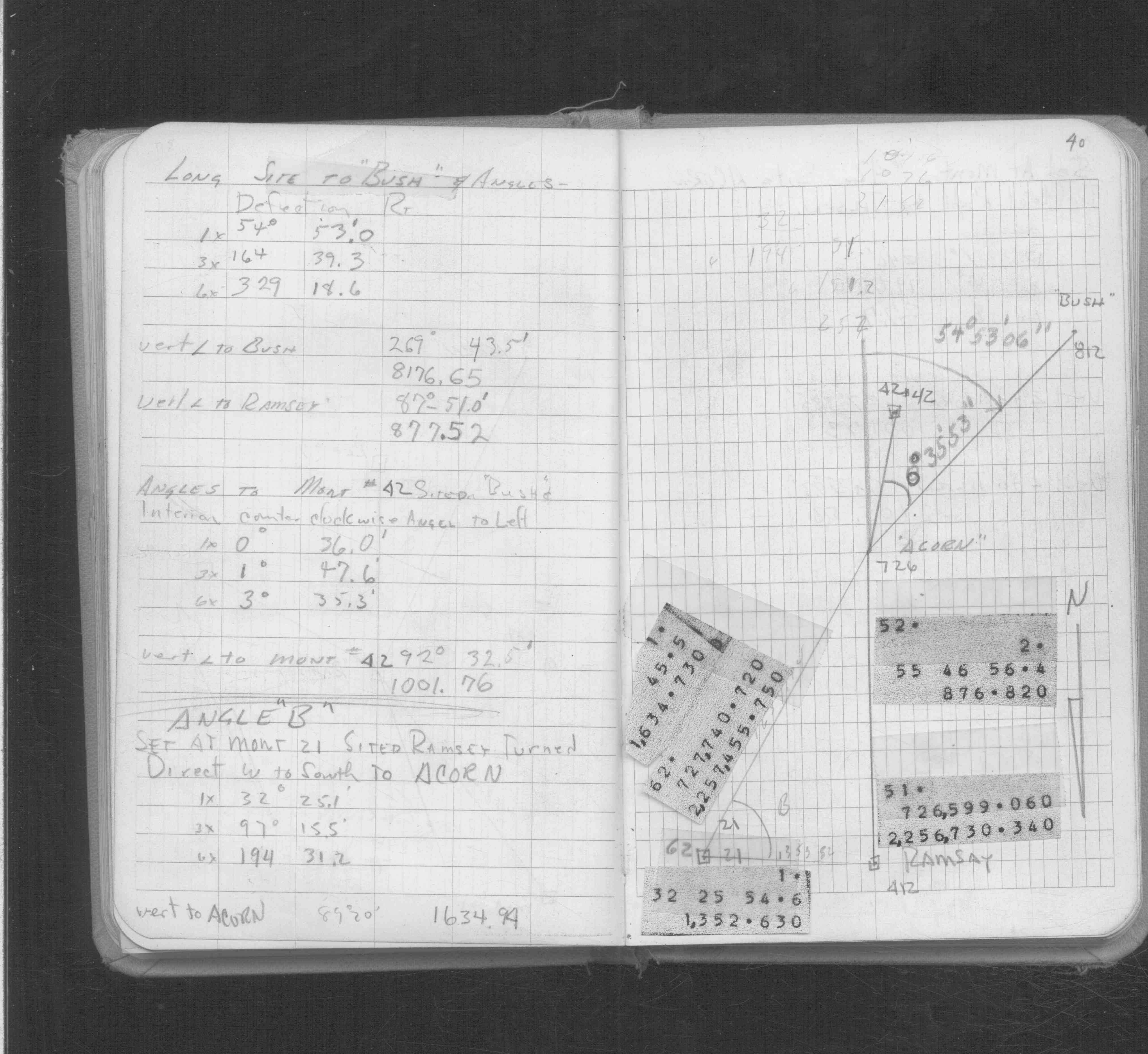
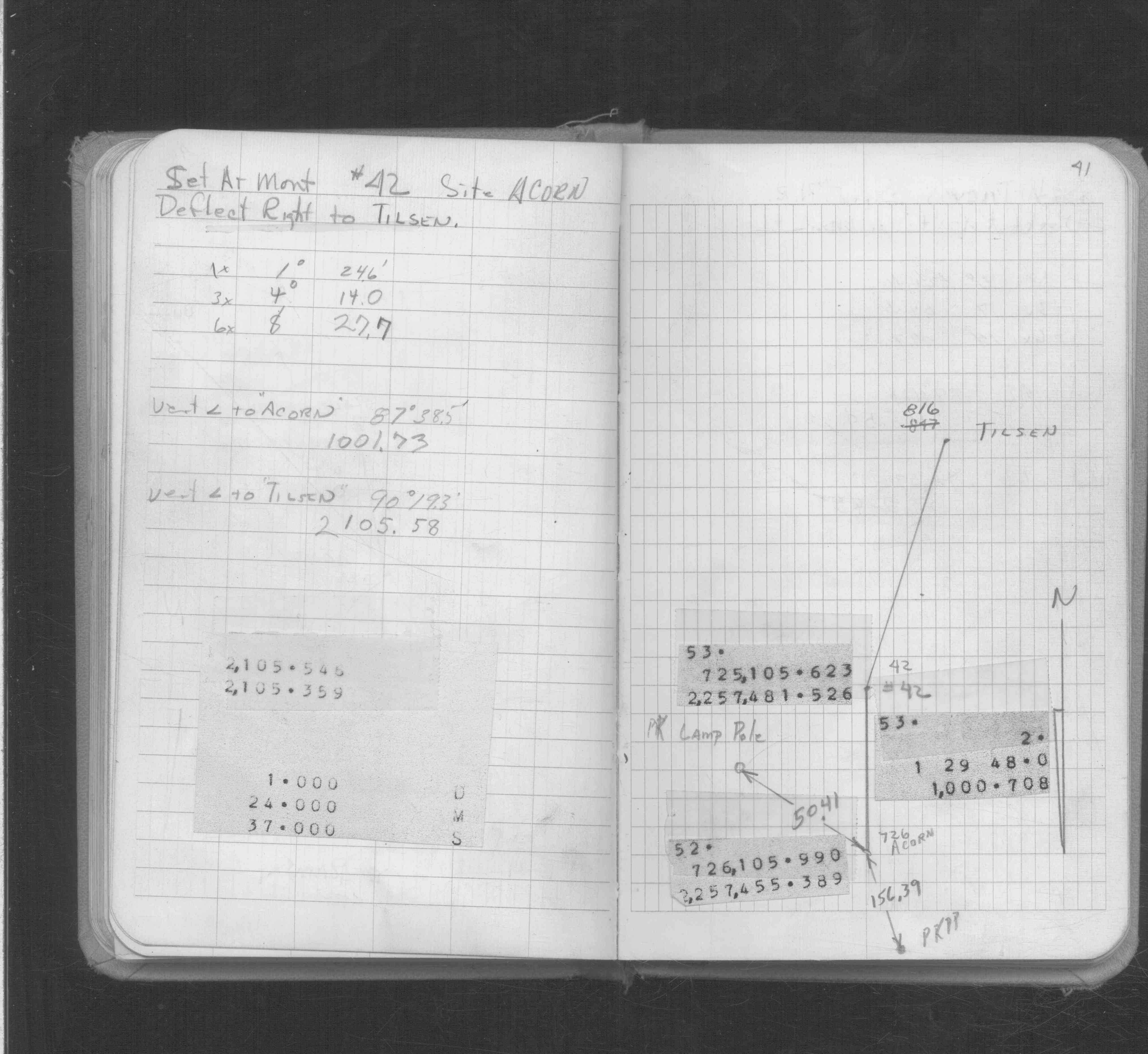
| FB 1634Cp. 40 ,41 ,42 | ||||||
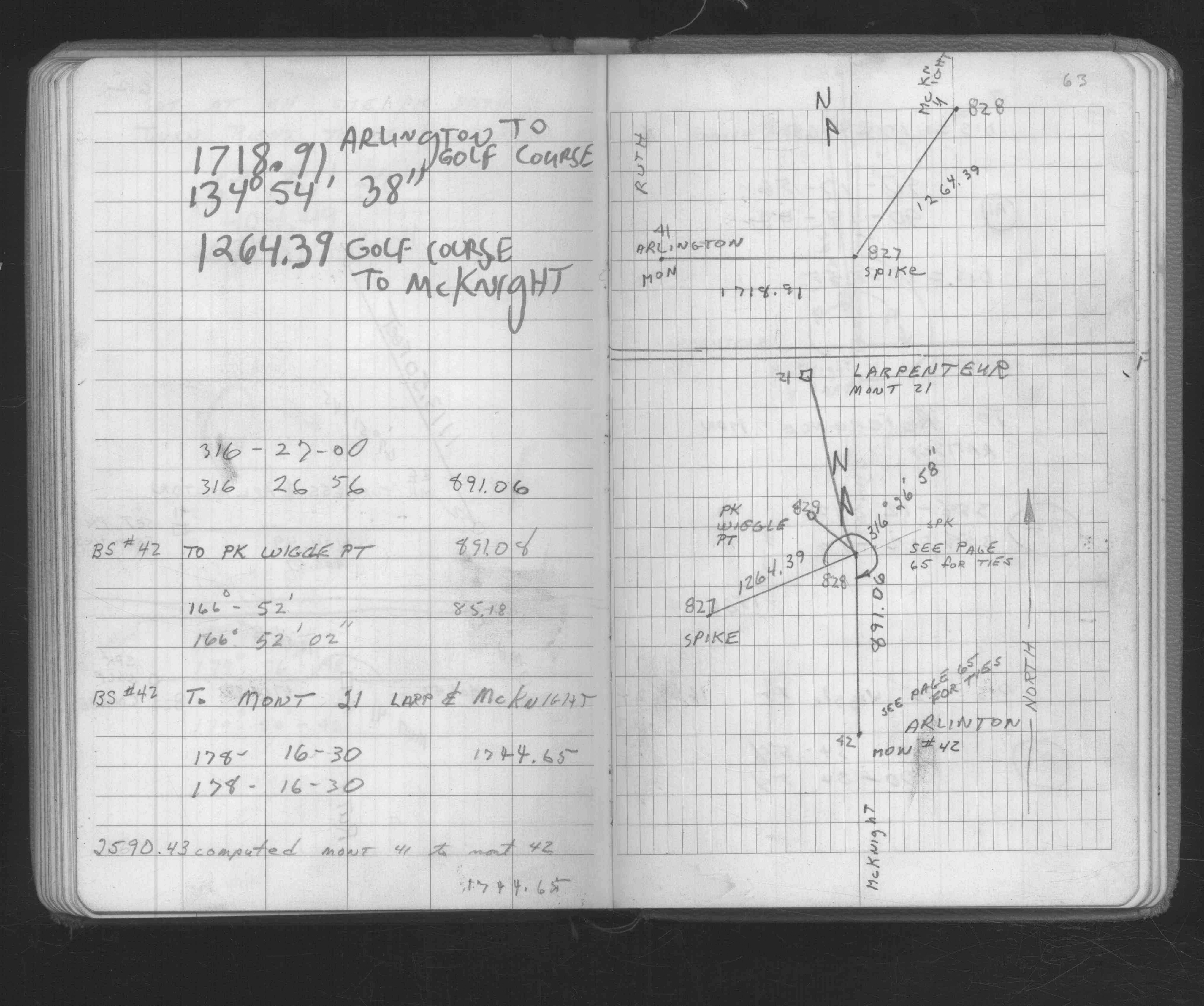
| FB 1676Bp. 63 ,65 | ||||||
| FB 1676Bp.65 | ||||||
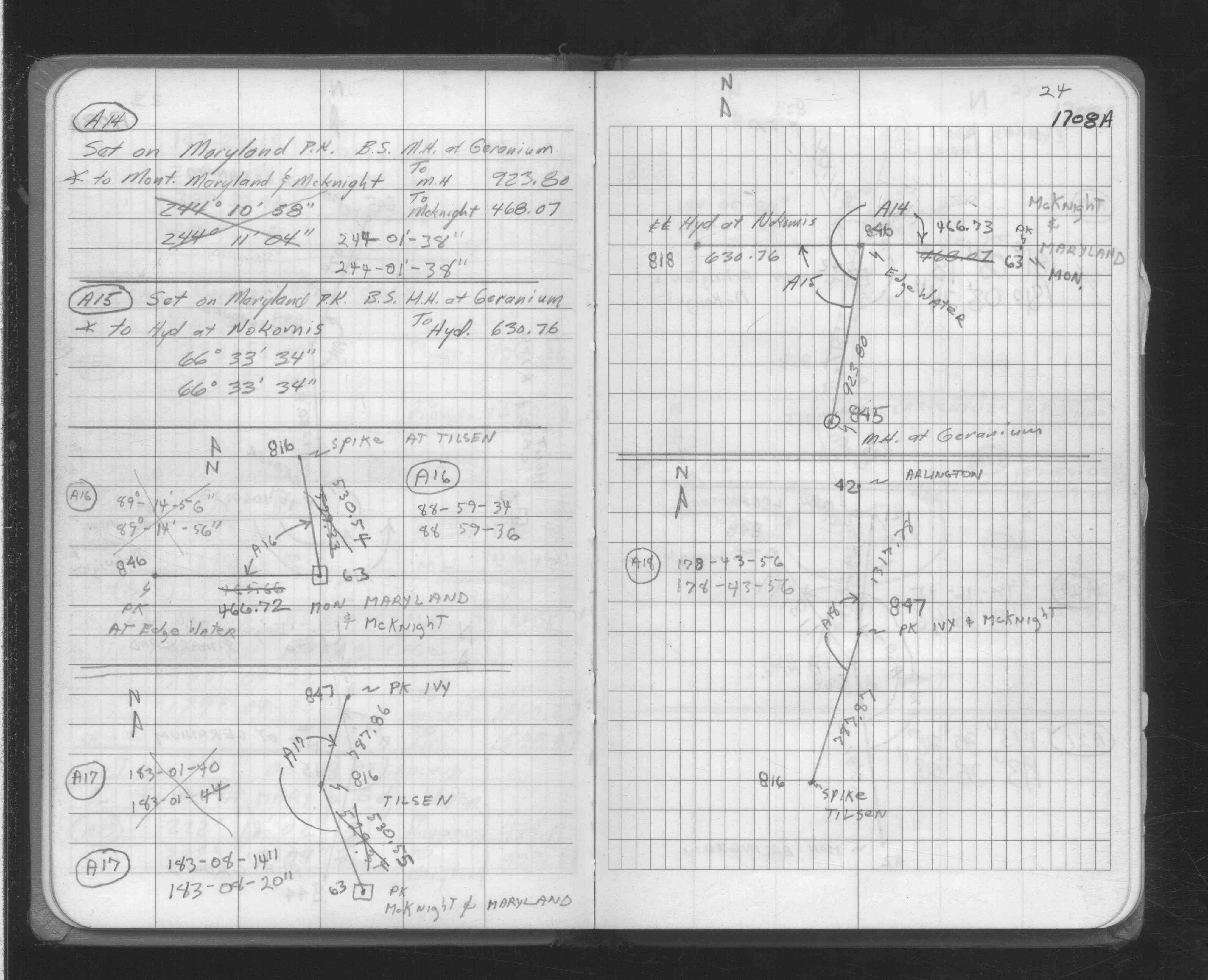
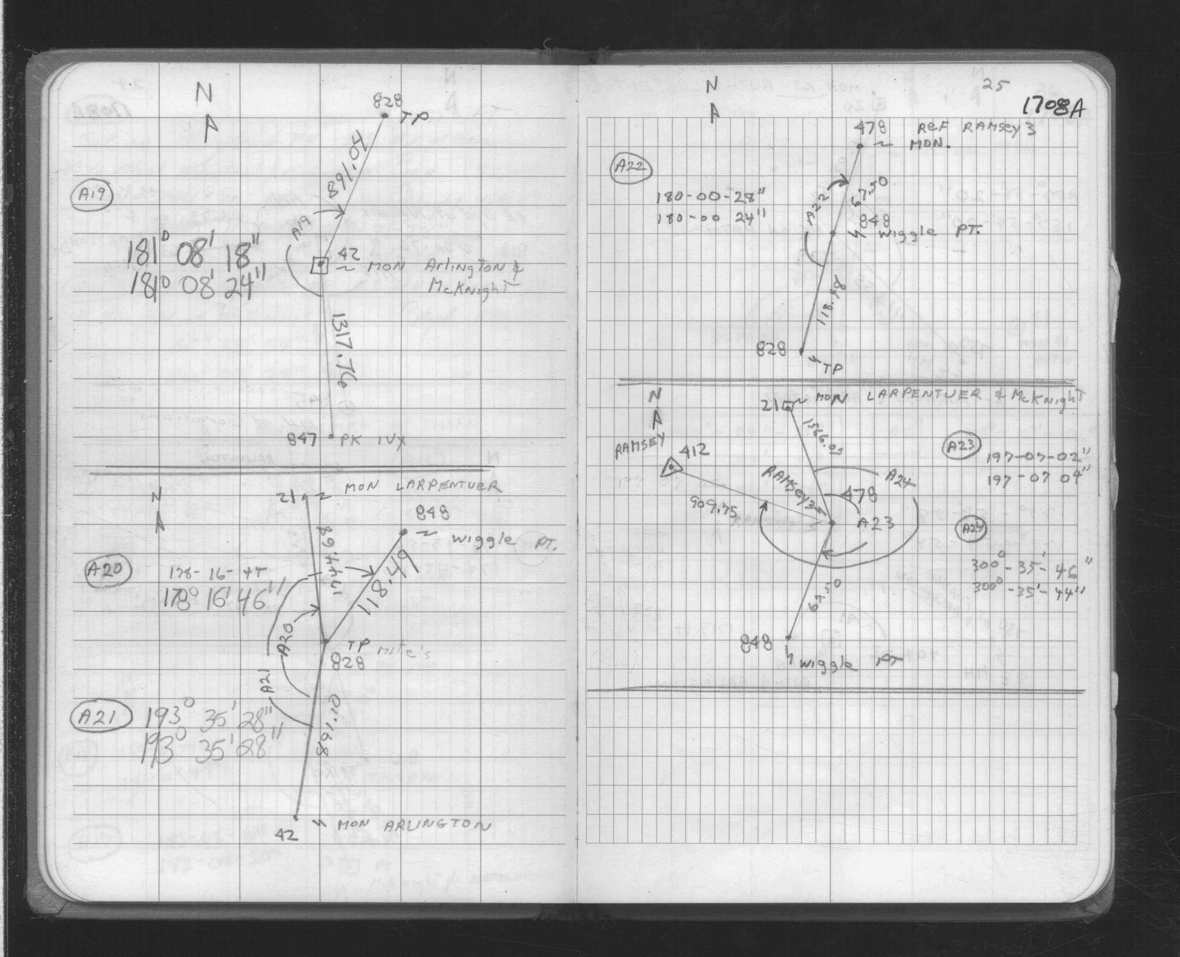
| FB 1708Ap. 24 ,25 | ||||||
| FB 1736p.06 |
| FILE | SURVEYOR | LIC. NO. | DATE SIGNED | DATE TIED |
|---|---|---|---|---|
| 0042-1874-A.tif | Samuel D. Gibson | 44880 | February 12, 2008 | January 29, 2008 |
| ST_001-078p042.jpg | none | none | none | none |
| 0042-1874-A.dwf | none | none | none | none |
| FILE | PHOTO DATE | COMMENTS |
|---|---|---|
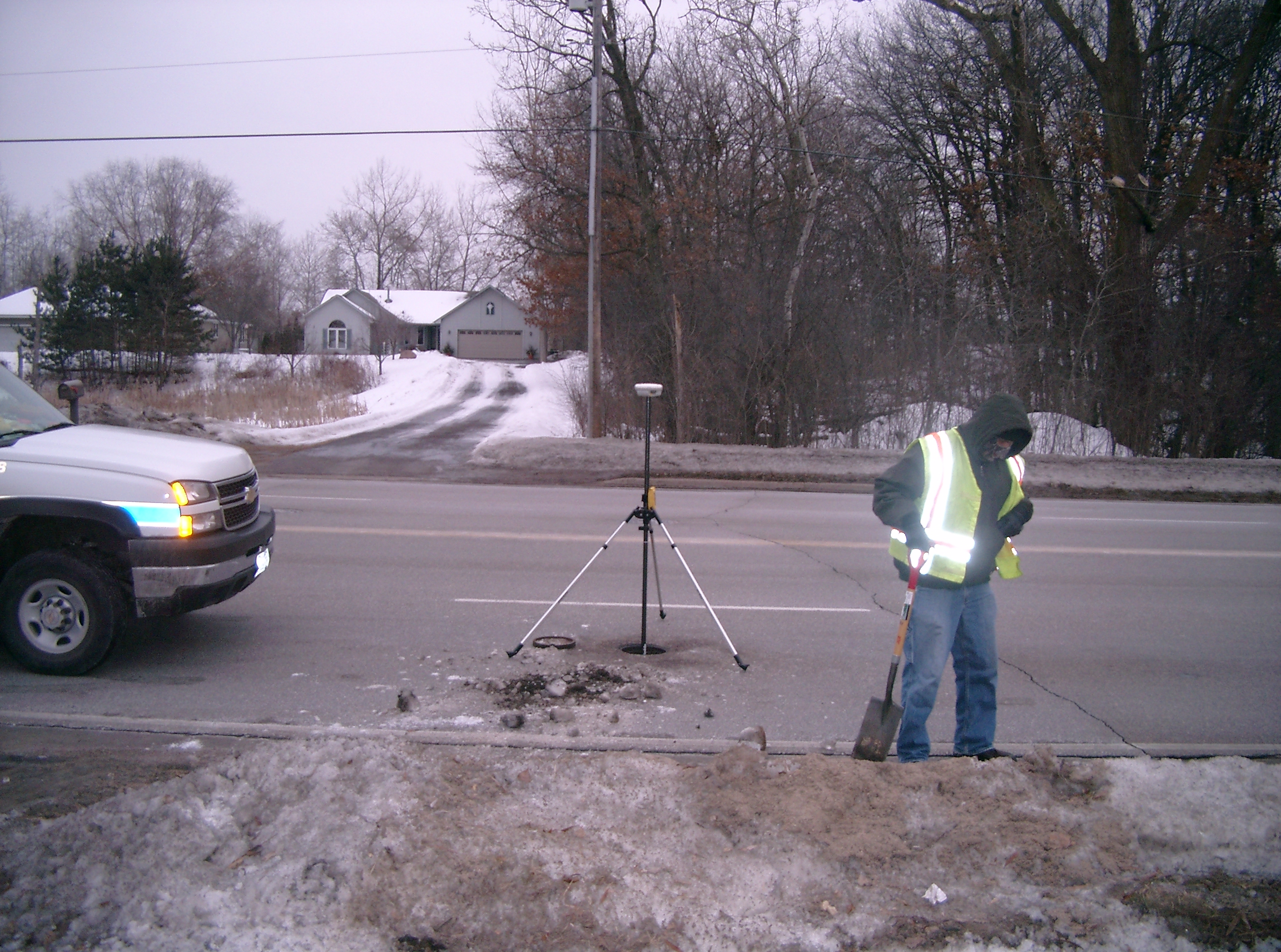
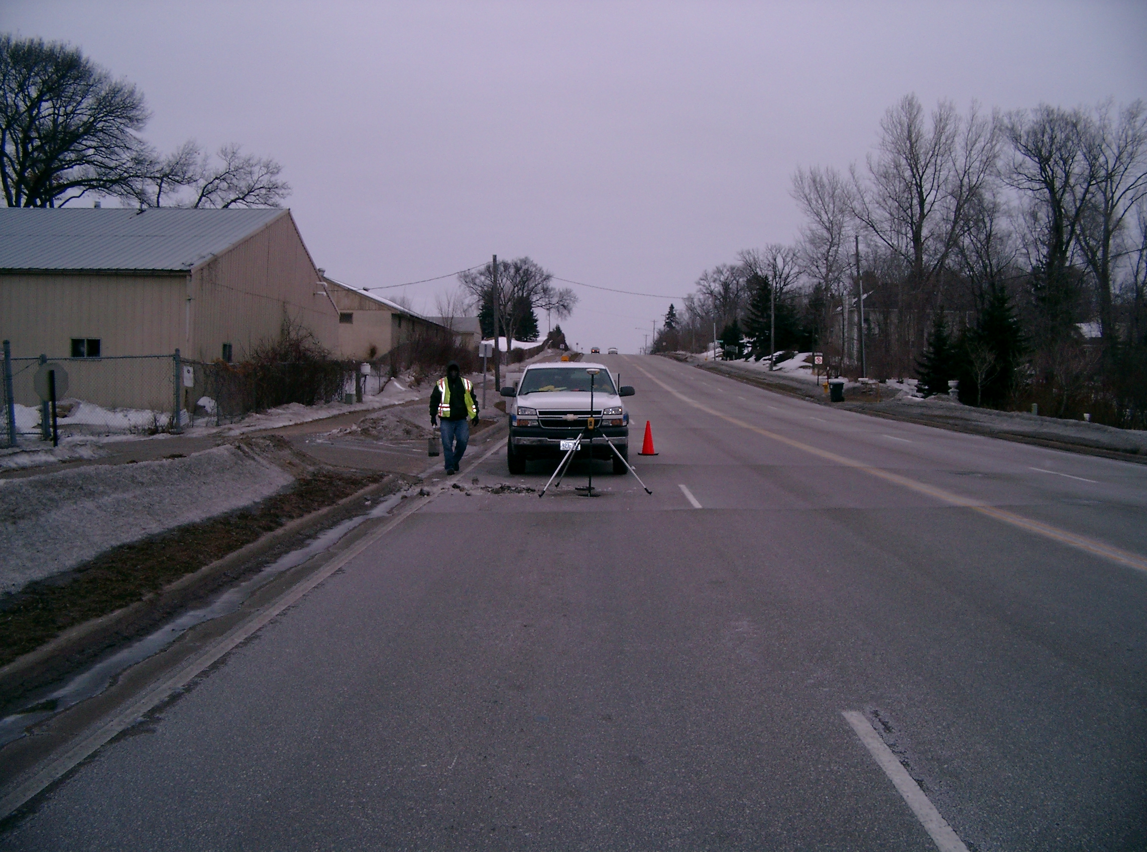
| 0042-1874-5.jpg | January 29, 2008 | Looking West across McKnight, Hillcrest Golf in background. |
| 0042-1874-4.jpg | January 29, 2008 | Looking South along South-bound lane of McKnight. |
| 0042-1874-3.jpg | January 29, 2008 | Looking East across McKnight. |
| 0042-1874-2.jpg | January 29, 2008 | Looking North along South-bound lane of McKnight. |
| 0042-1874-1.jpg | January 29, 2008 | Close-up of CIM below street grade. |