| NAD83 COORDINATES (1986 adj.): |
|---|
| * X= 569153.48 Y= 168028.58 Z= 0 LSQ 12/6/1991 S FLT |
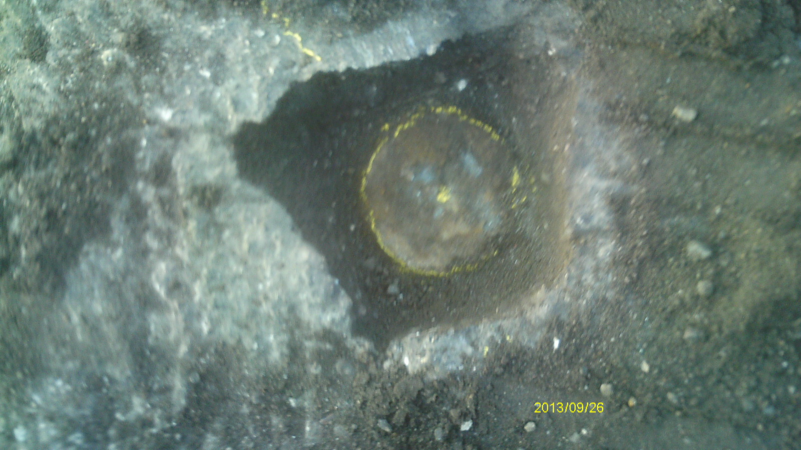
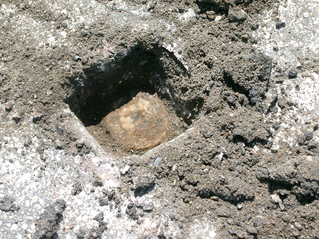
| 9/26/2013 | Found CIM appx 0.4' below asphalt grade. All tie objects from 1995 and 1999 tie sheets remain in place. Photos taken. |
| 6/26/2004 | Fd CIM 0.32 ft below asphalt surface. Painted monument. Left monument as found. |
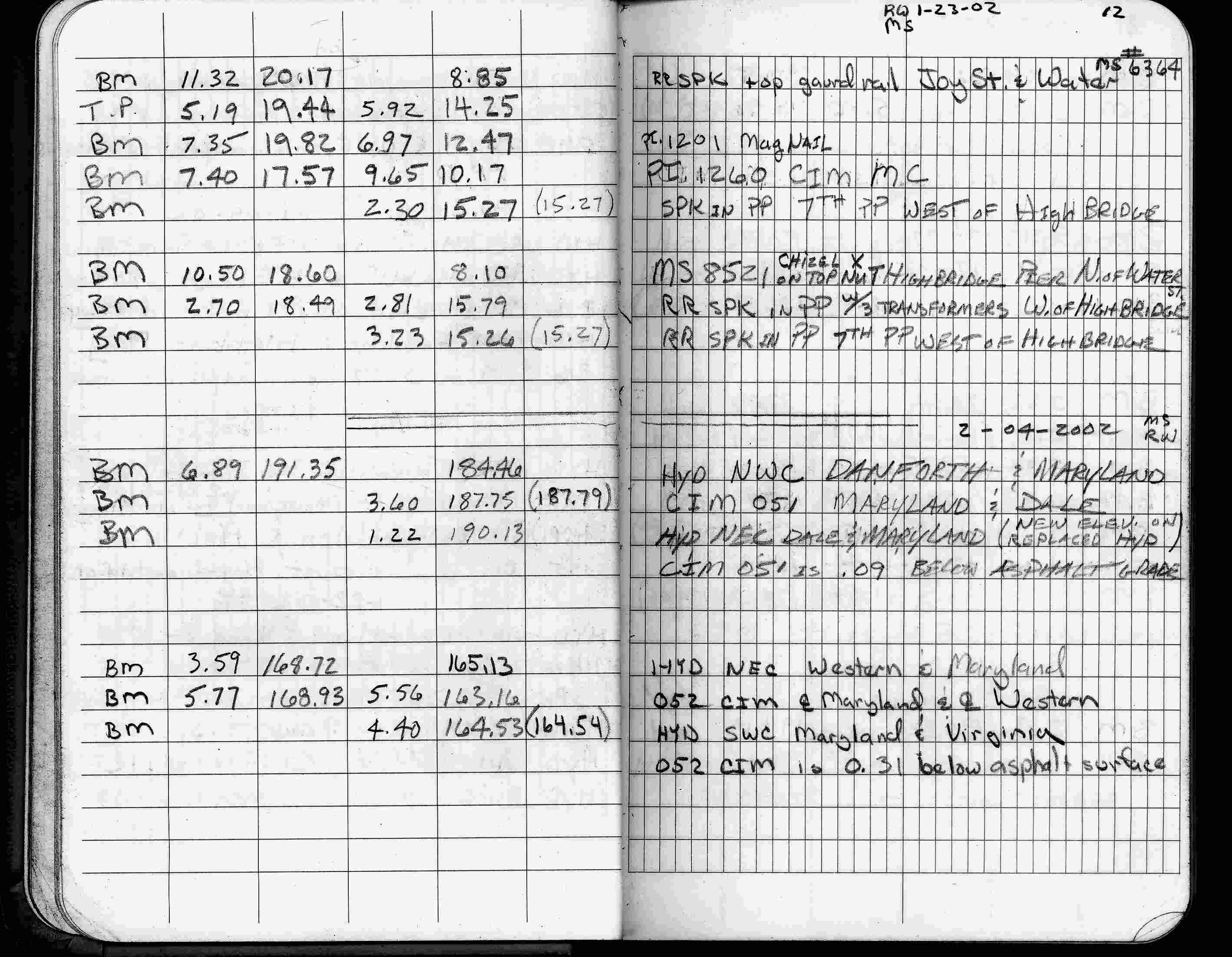
| 2/4/2002 | Elev 163.16 ft on CIM 0.31 ft below asphalt surface. See FB 1736 p.12 |
| 3/17/2000 | Fd CIM 0.20 ft below grade, found 1 ft straddles (marked for painting target for 2000 aerial) |
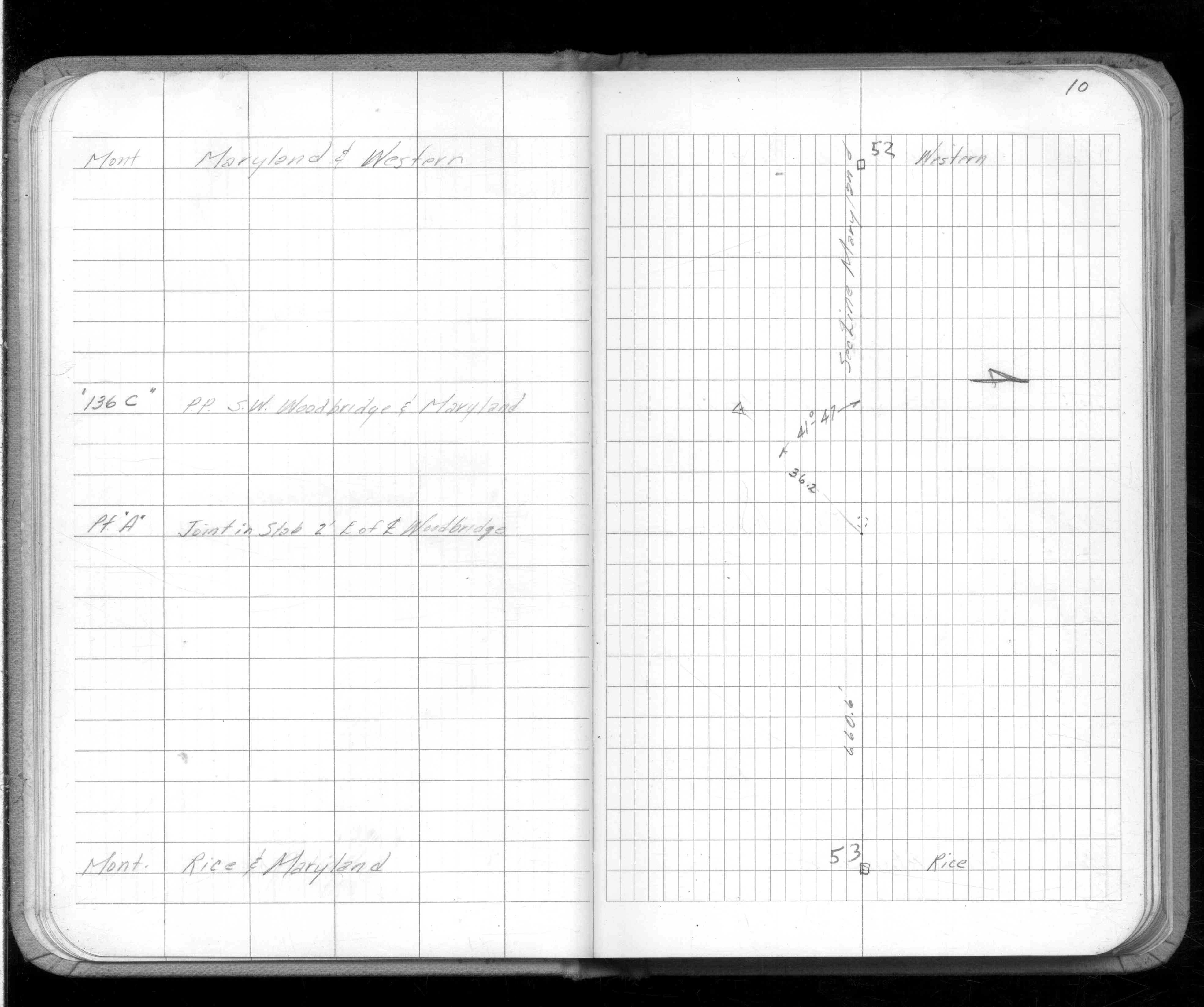
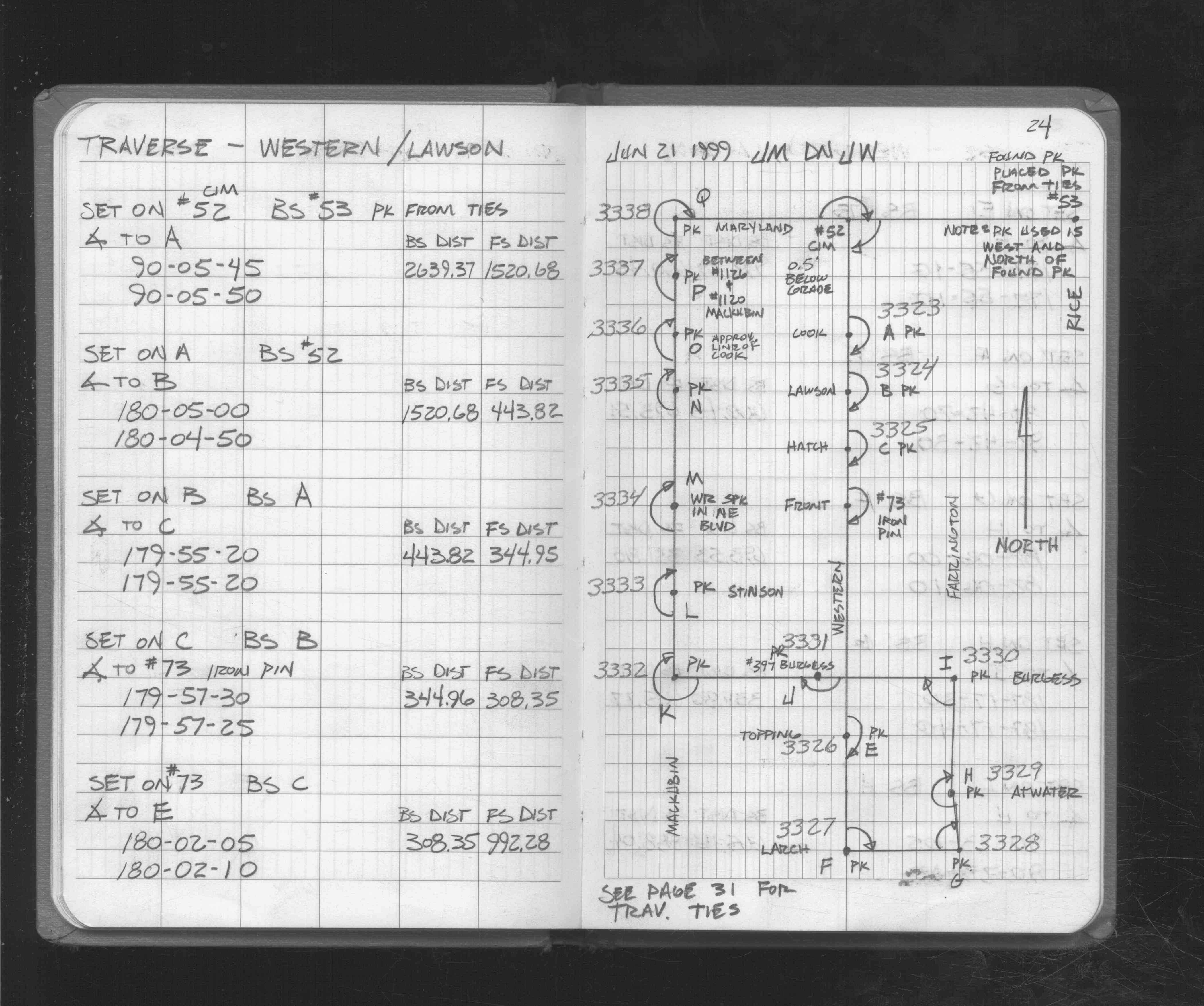
| 6/21/1999 | Used CIM for traverse control. See FB 1721 p.24 |
| 6/21/1999 | Recovered CIM, placed ties. See CofL 0052-0015-B |
| 9/25/1995 | Placed ties on CIM 0.2 ft below grade. See CofL 0052-0015-A |
| 2/1/1990 | (Unknown date Feb __, 1990 ) CIM set 0.2 ft below grade |
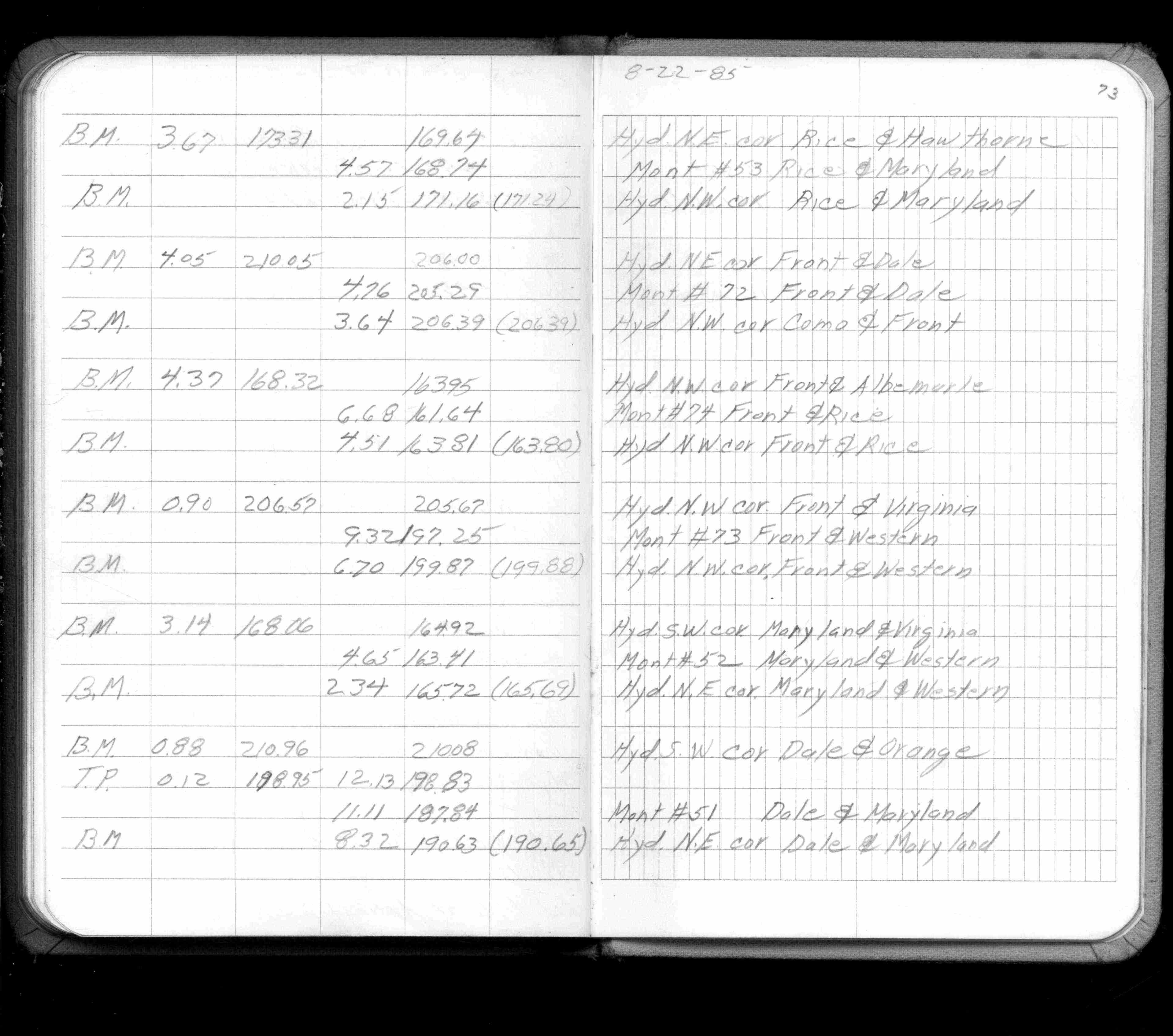
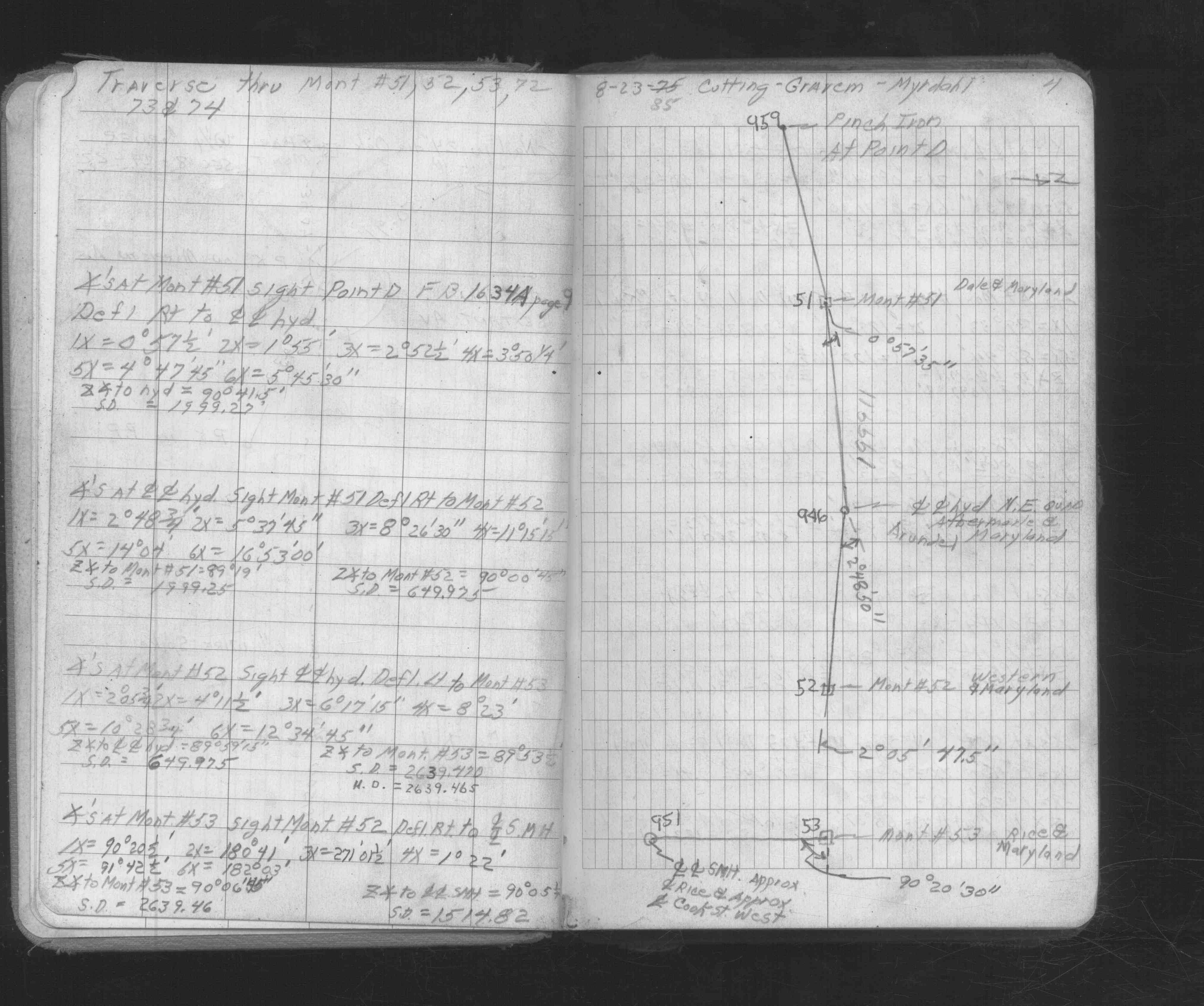
| 8/1/1985 | (Unknown date Aug __, 1985 ) Elev 163.41 ft on ?. See FB 1421A p.73 |
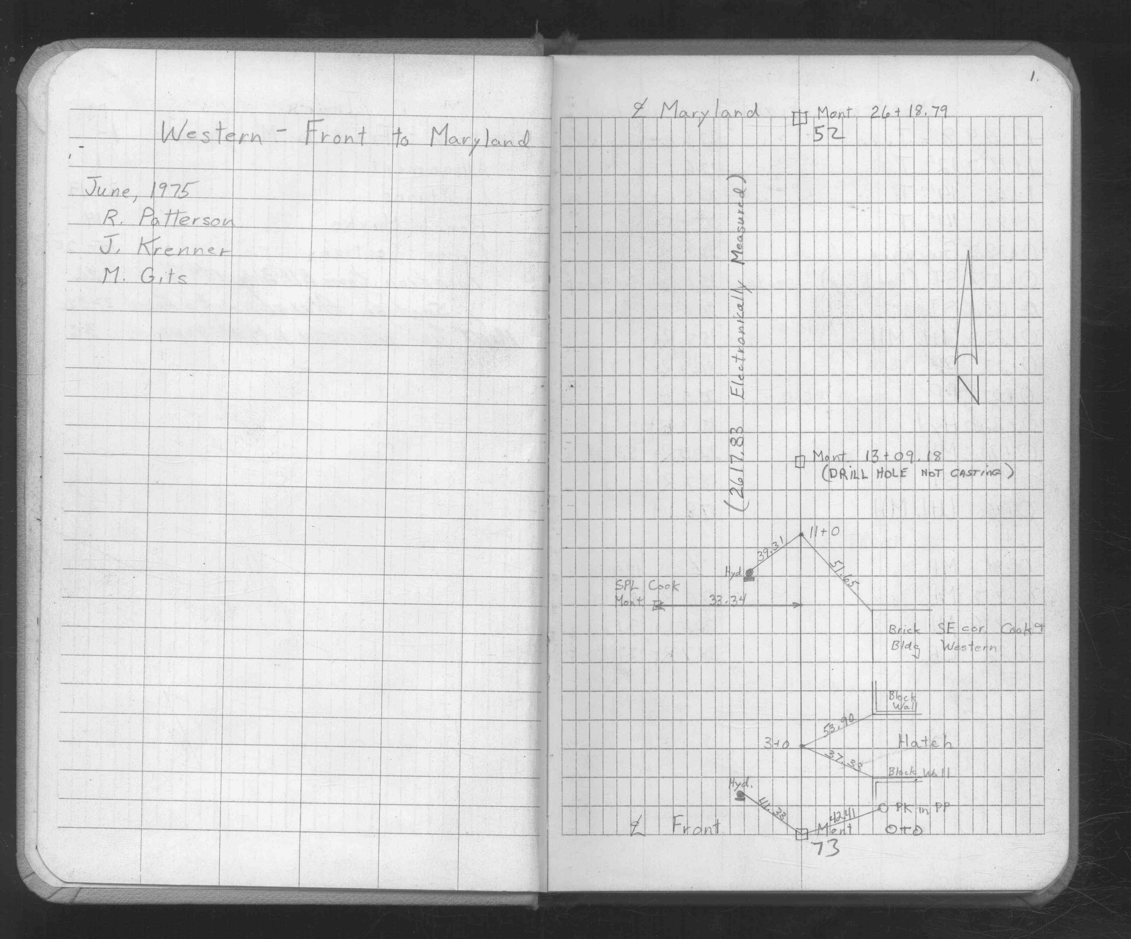
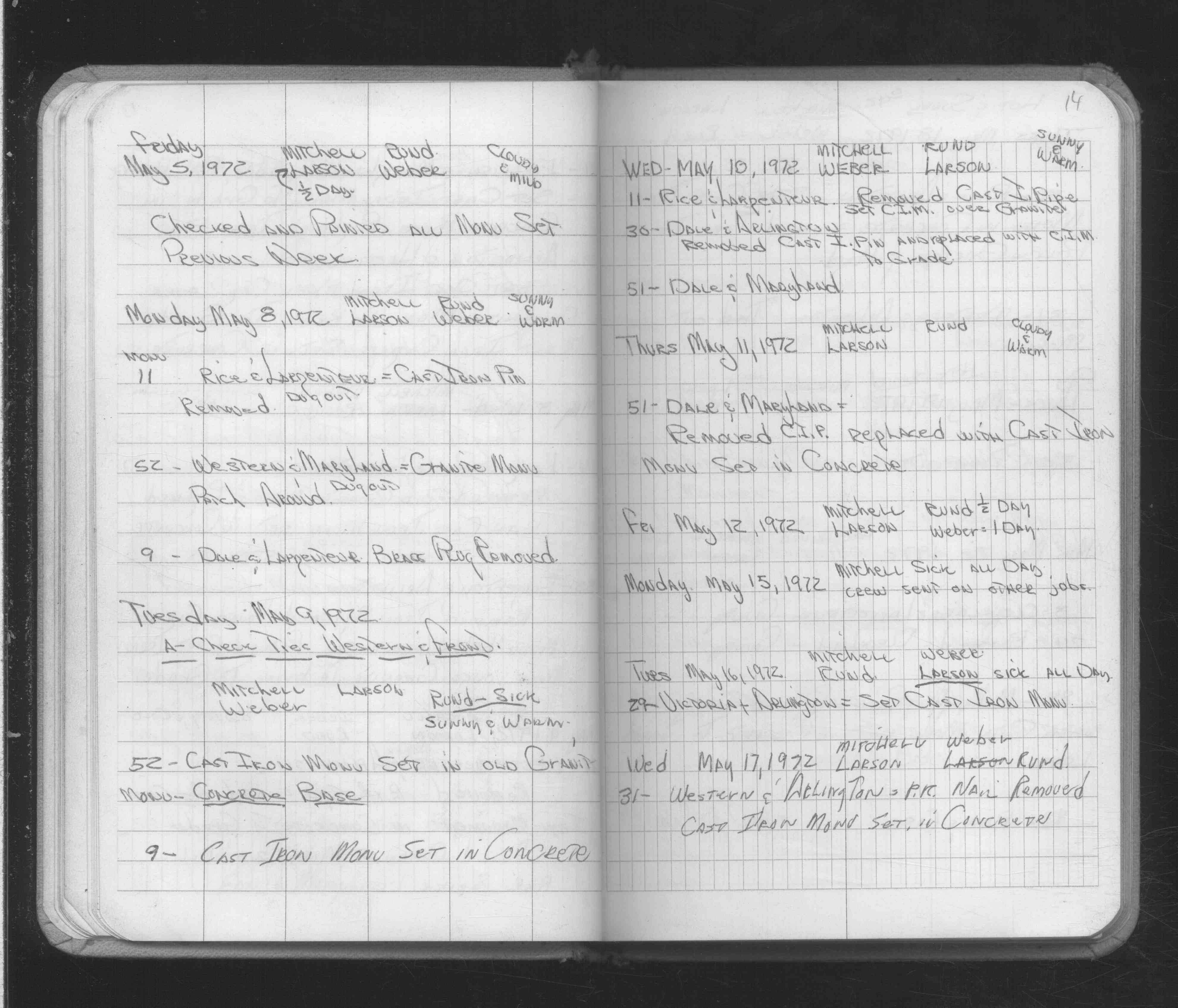
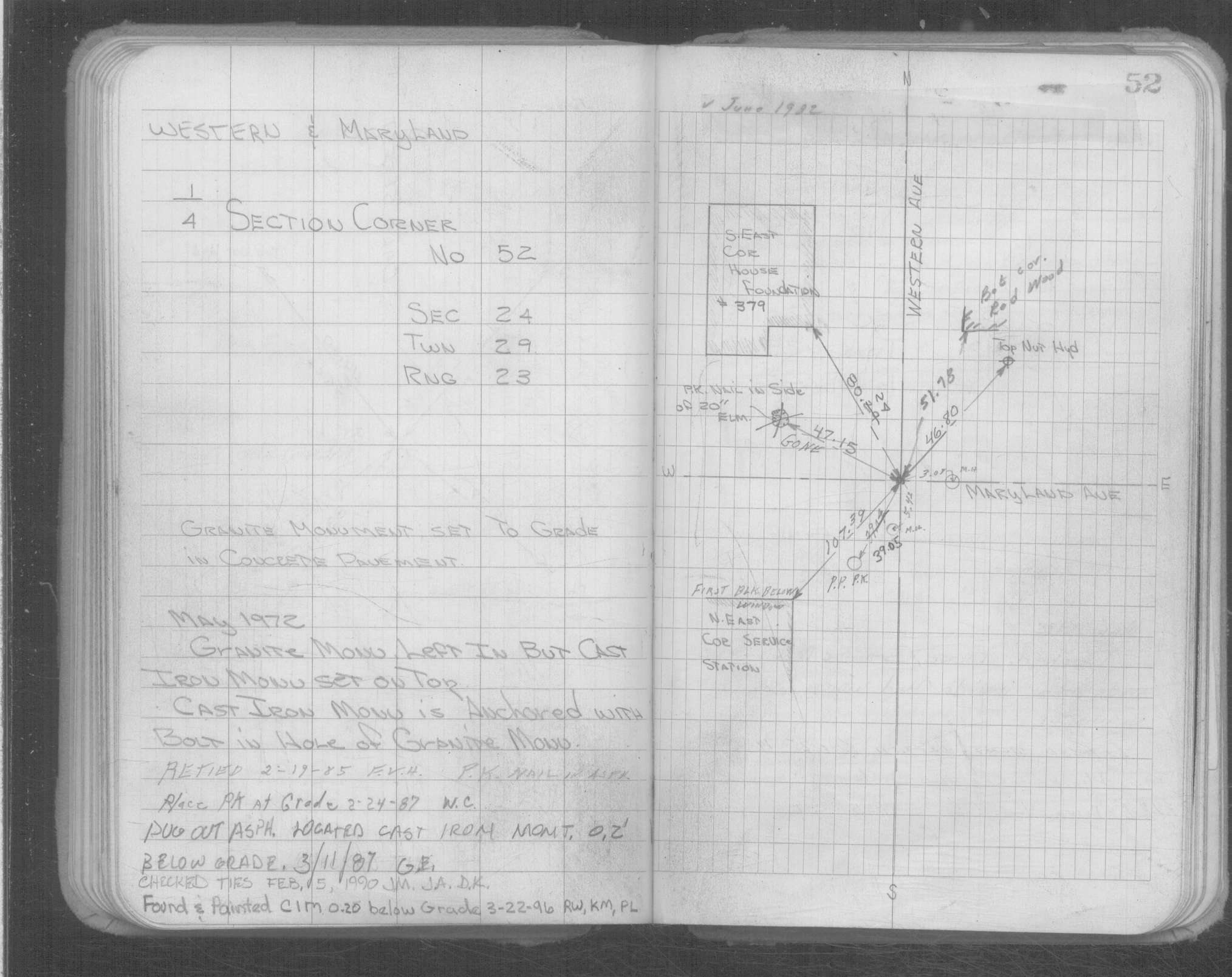
| 5/9/1972 | CIM set in concrete over GM. See FB 1689A p.14 |
| 5/8/1972 | Patched around GM. See FB 1689A p.14 |
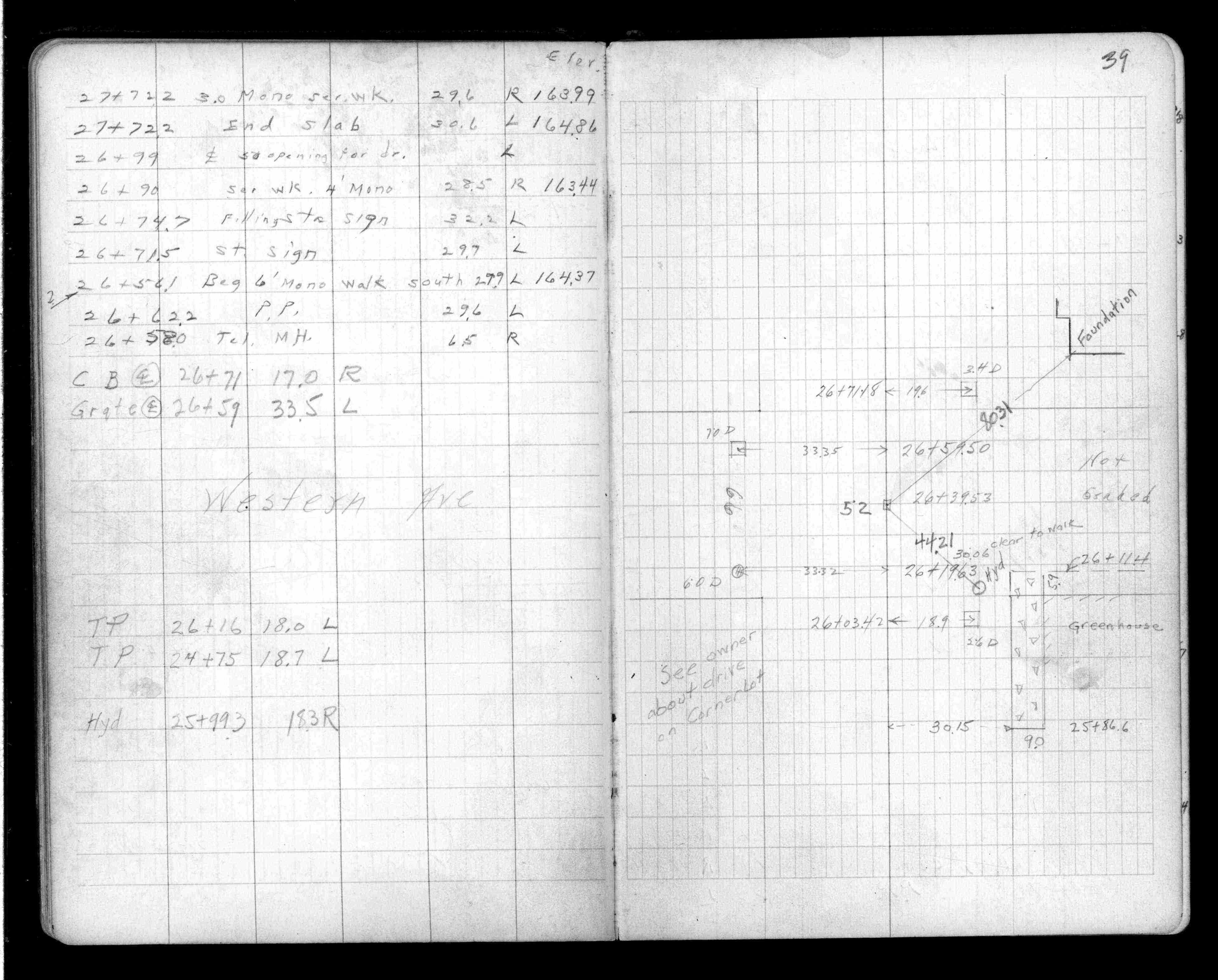
| 11/1/1954 | (Unknown date Nov __, 1954 ) Placed ties. See FB 1341 p.39 |
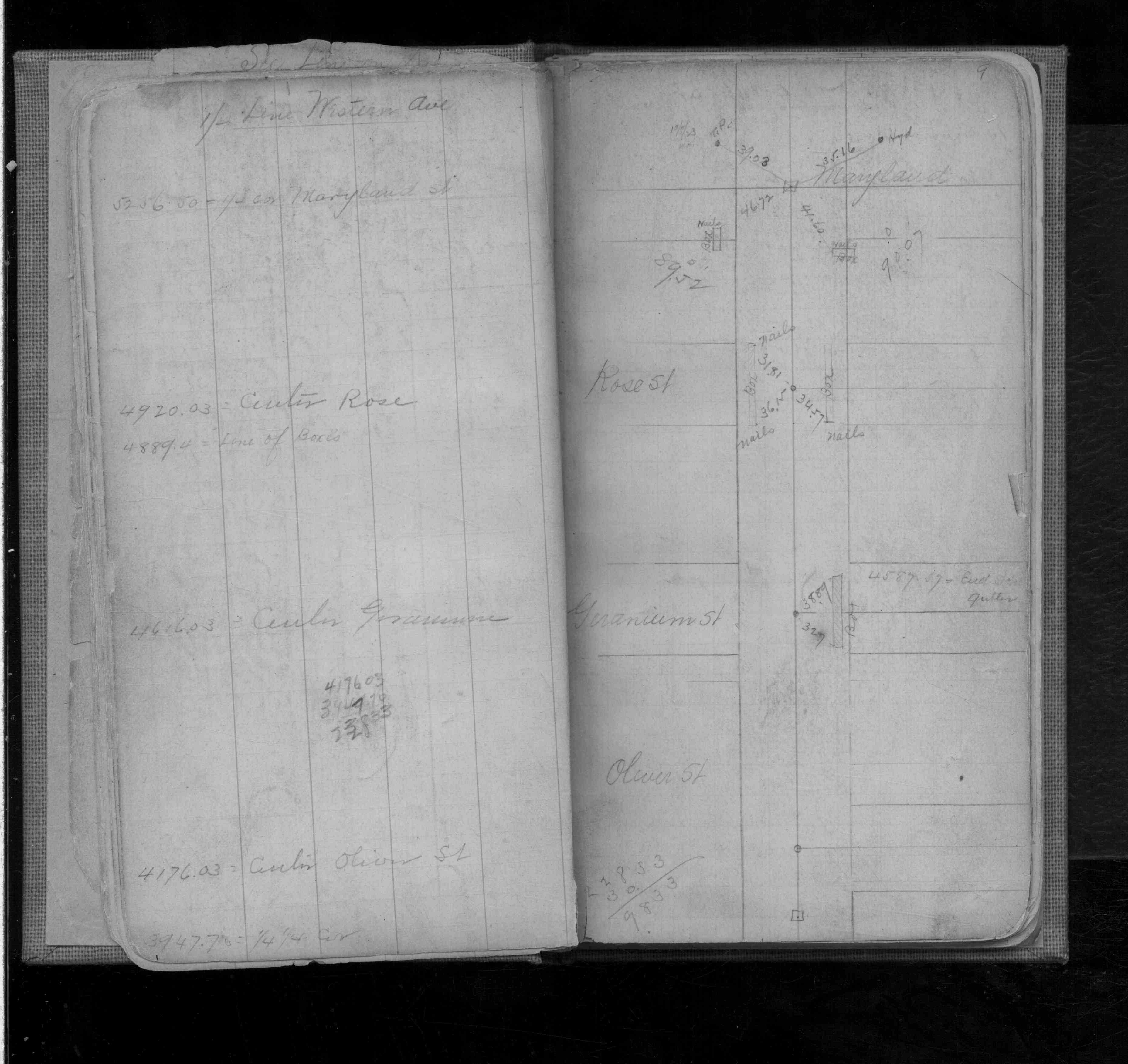
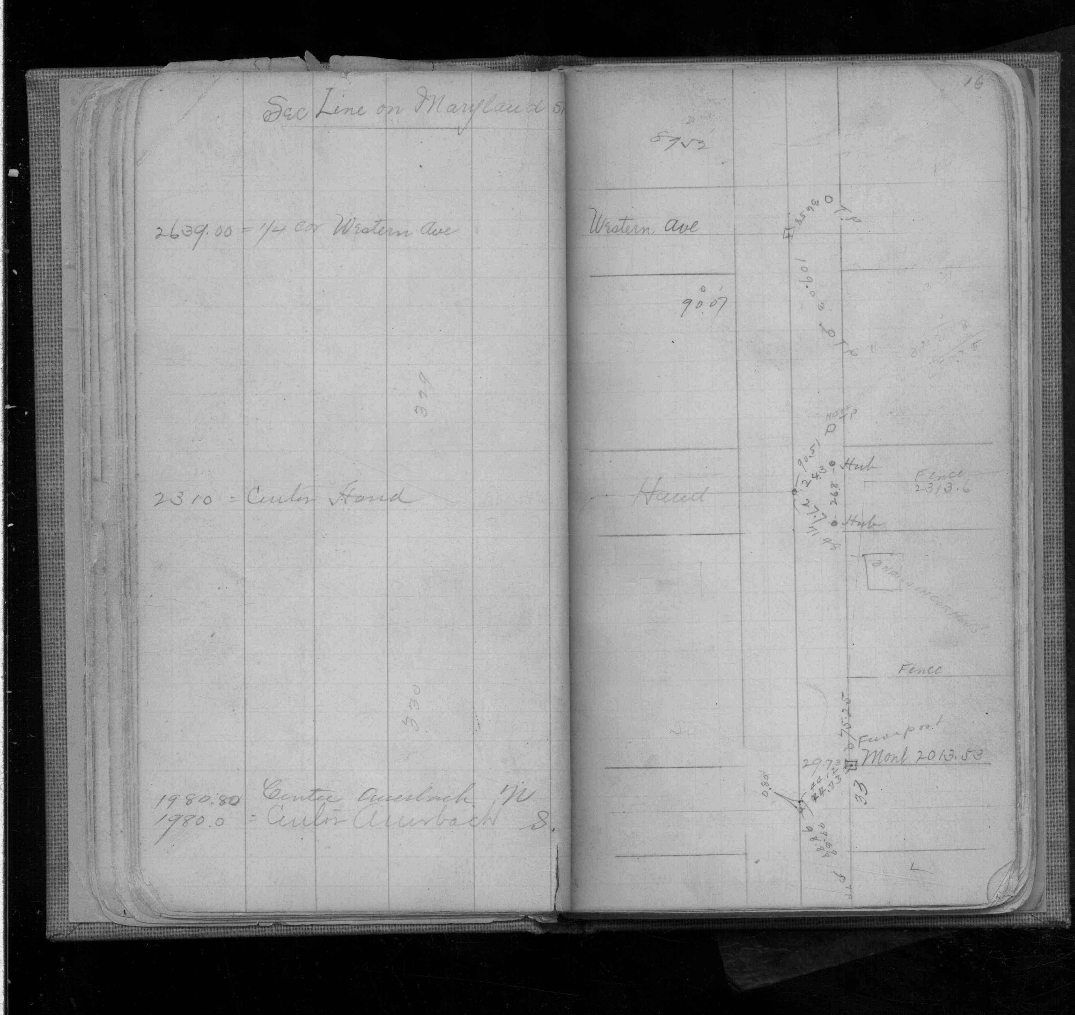
| 4/1/1923 | (Unknown date Apr __, 1923 ) Placed ties. See FB 314 p.6 |
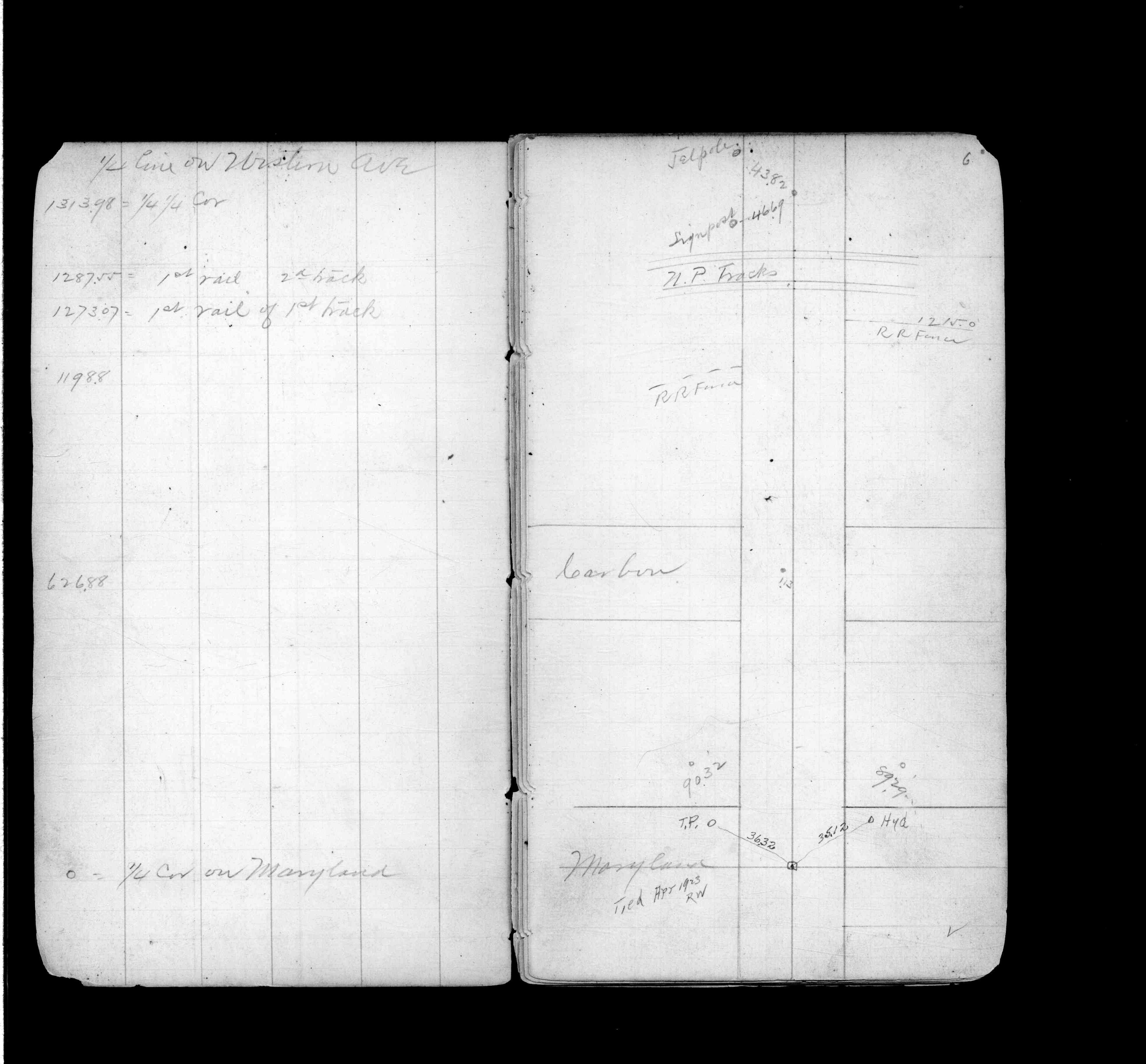
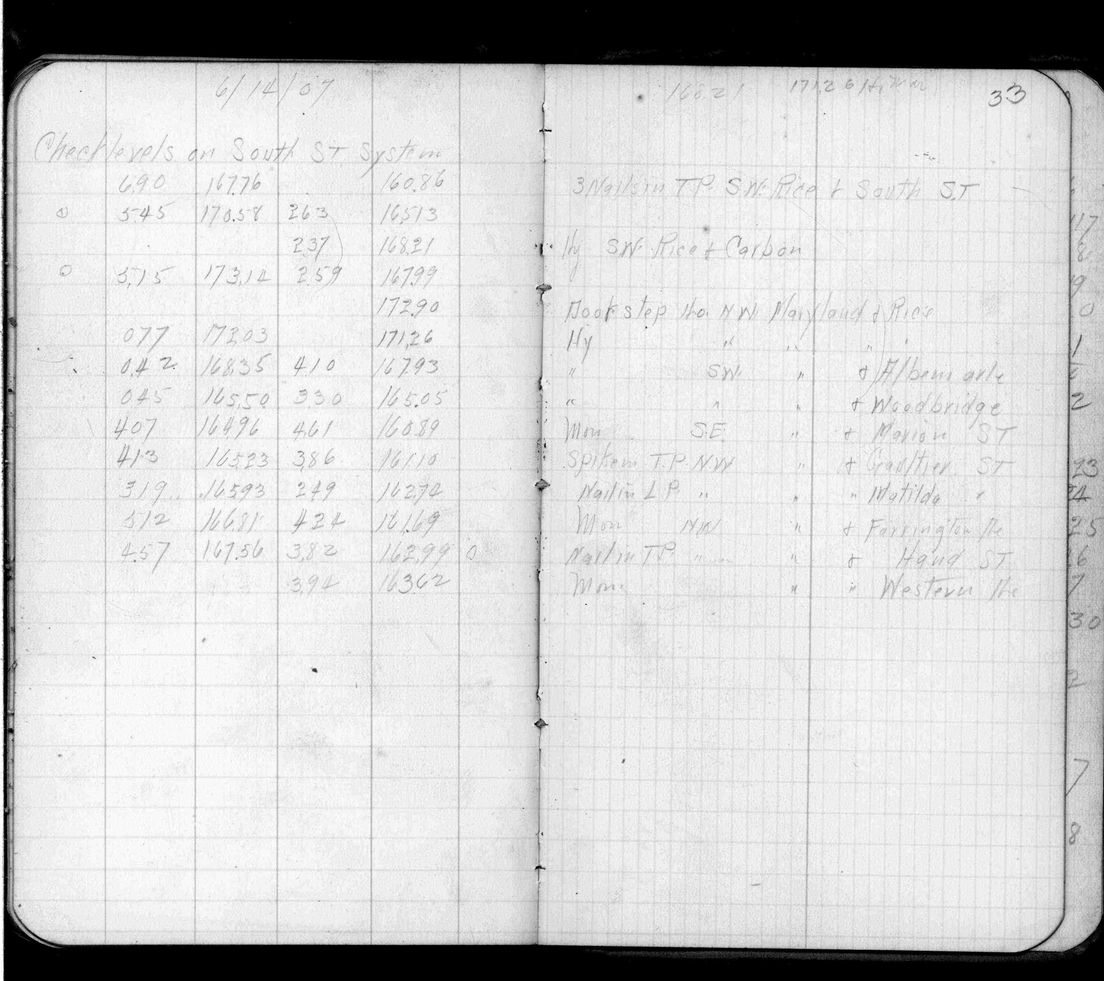
| 6/14/1907 | Elev 163.62 ft on monument. See FB0553 p.33 |
| 2/15/1889 | Monument reset after grading by Chas Hunt |
| 11/1/1847 | (Unknown date Nov __, 1847 ) Isaac N Higbee deputy surveyor set post. Tied to 1 BT. See IH p.072-073 2923 |
| 1/1/1800 | (Unknown date ___ __, 18?? ) Elev 163.760 ft on GM. See Old Benches Book, Entry 1878 |
| 1/1/1800 | (Unknown date ___ __, ____ ) Monument replace former Square Tamarack hub with large nail |
Above is NOT an all inclusive history of this point. Please review all the links below.
| PLS NOTES | Field | Cross Section | Sewer | J.B. Irvine | Monument | River Survey |
|---|---|---|---|---|---|---|
| IH p.072-073 | FB 0301p. 09 ,16 ,69 | |||||
| FB 0314p.06 | ||||||
| FB 0314p.06 | ||||||
| FB 0553p.33 | ||||||
| FB 0839p.01 | ||||||
| FB 1341p.39 | ||||||
| FB 1341p.39 | ||||||
| FB 1421Ap.73 | ||||||
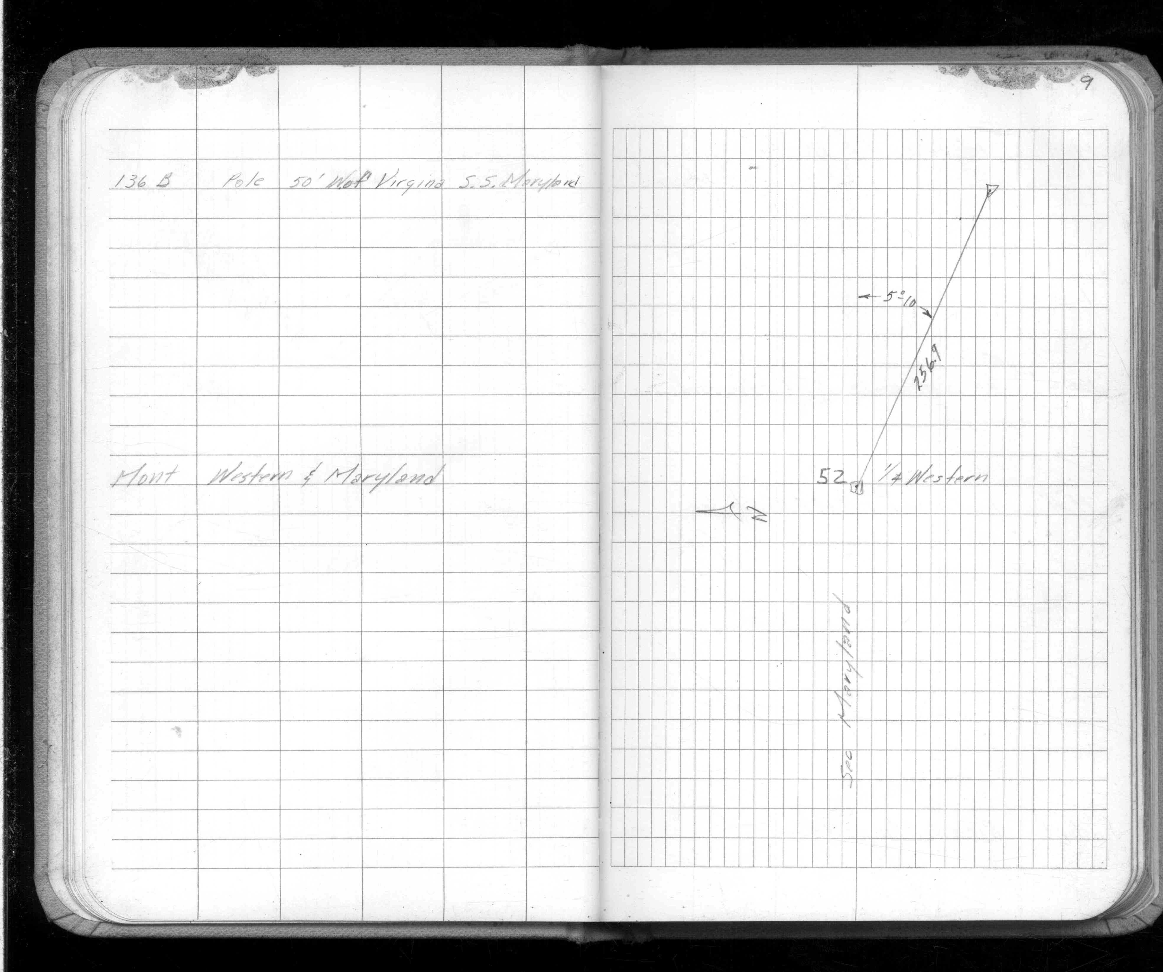
| FB 1549D2p. 09 ,10 | ||||||
| FB 1549Fp.75 | ||||||
| FB 1549Ip. 16 ,28 | ||||||
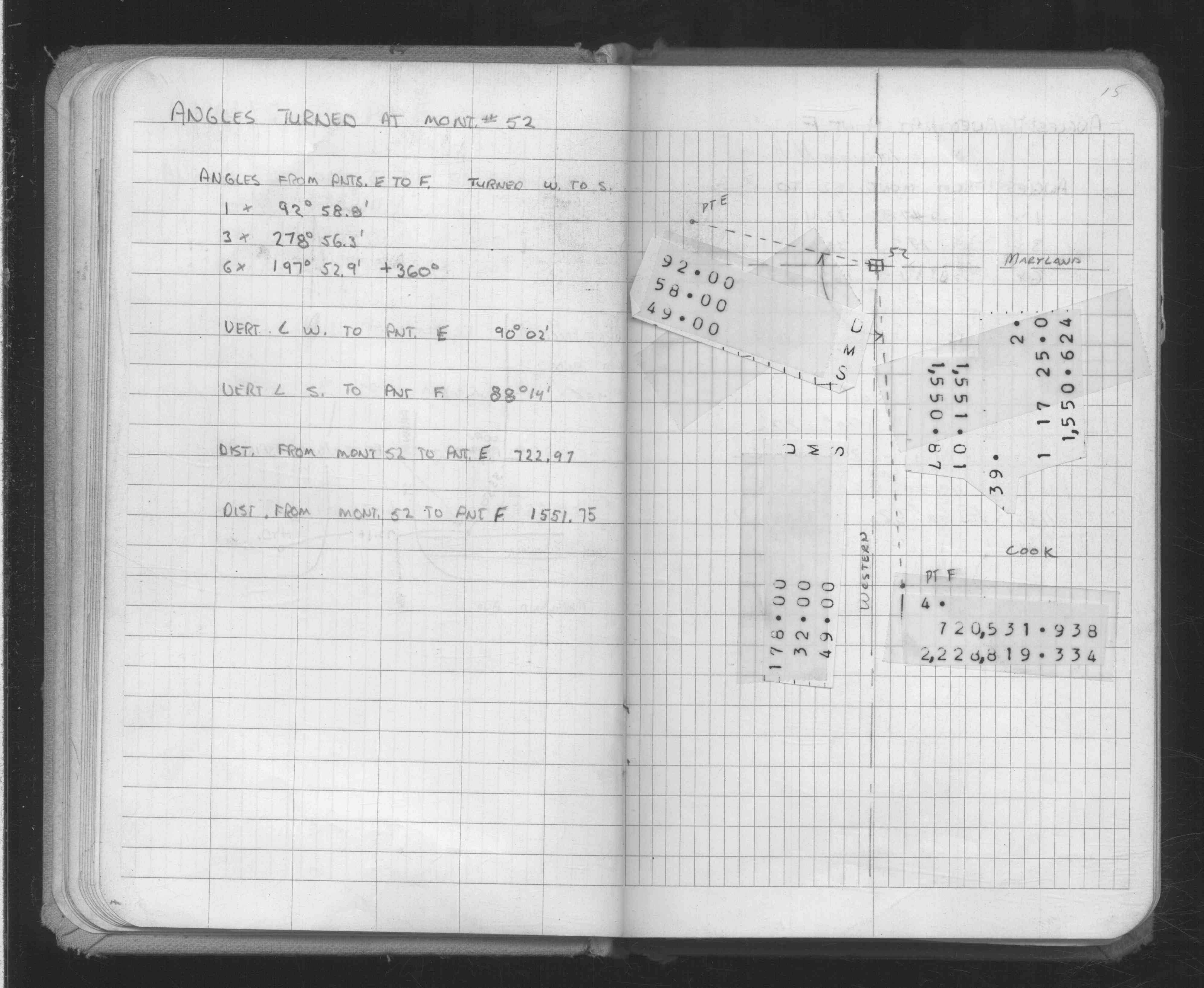
| FB 1634Ap. 11 ,15 | ||||||
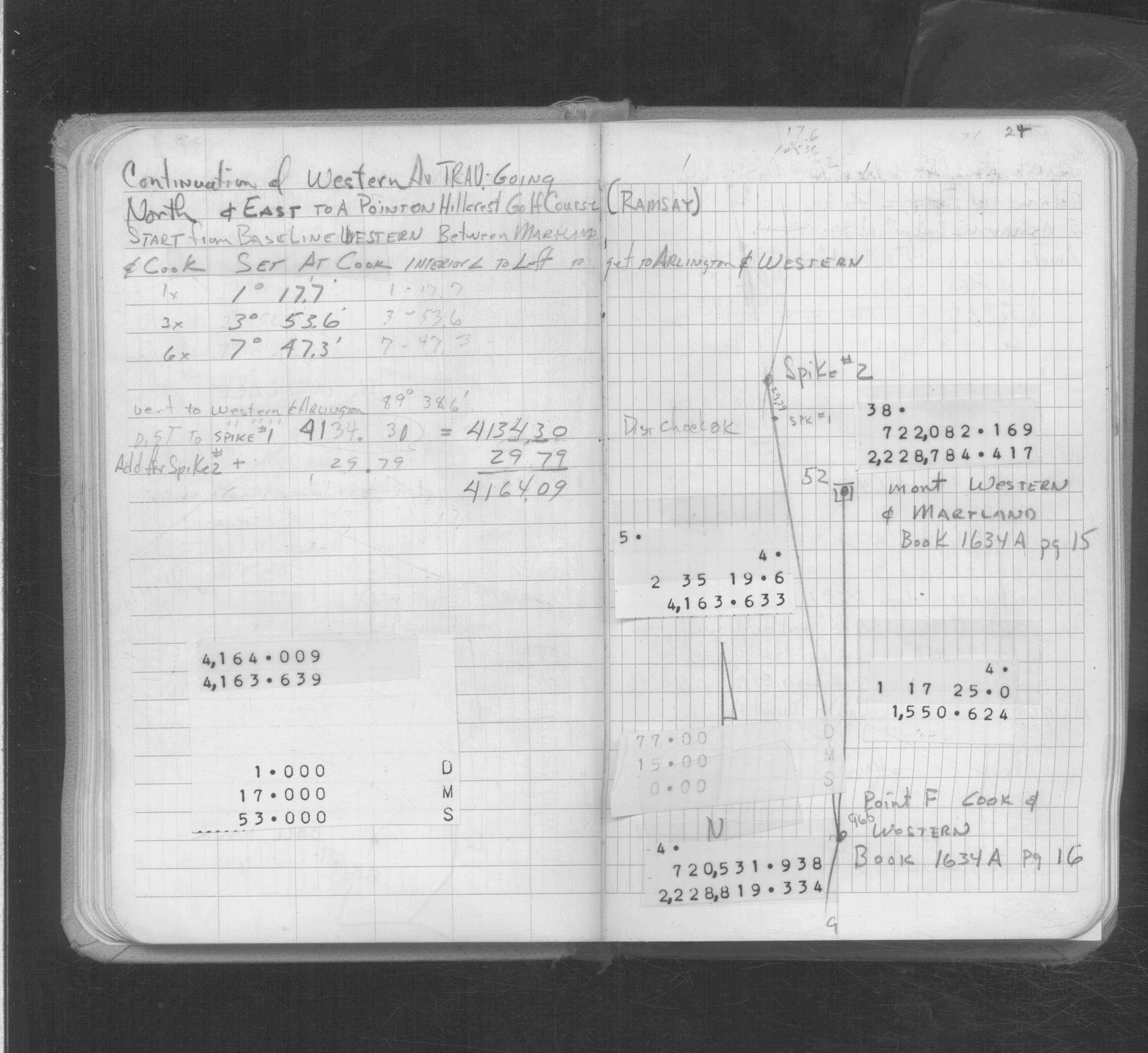
| FB 1634Cp.24 | ||||||
| FB 1651p.01 | ||||||
| FB 1673Ap. 04 ,20 ,21 ,22 ,48 ,49 | ||||||
| FB 1676Ap.38 | ||||||
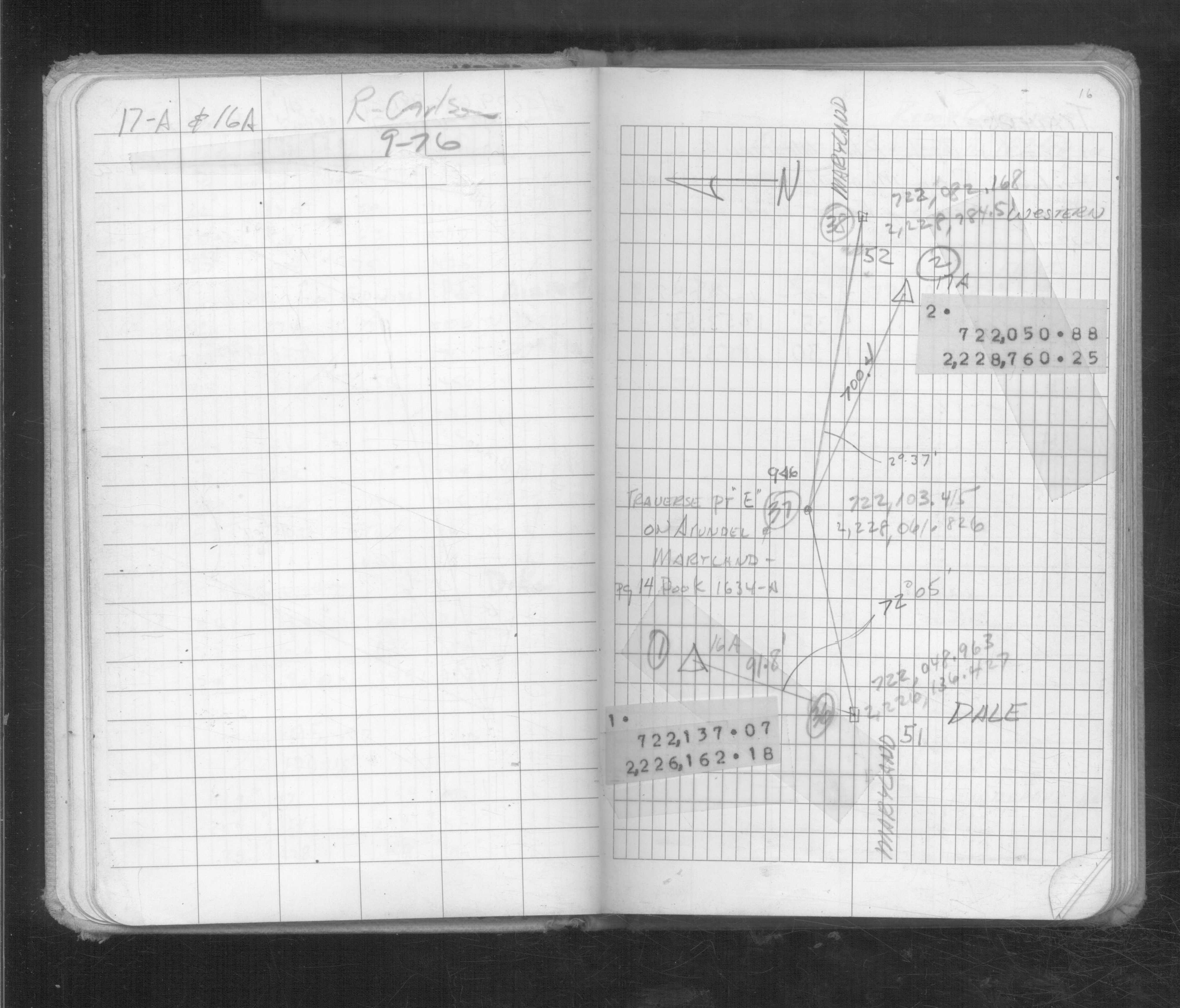
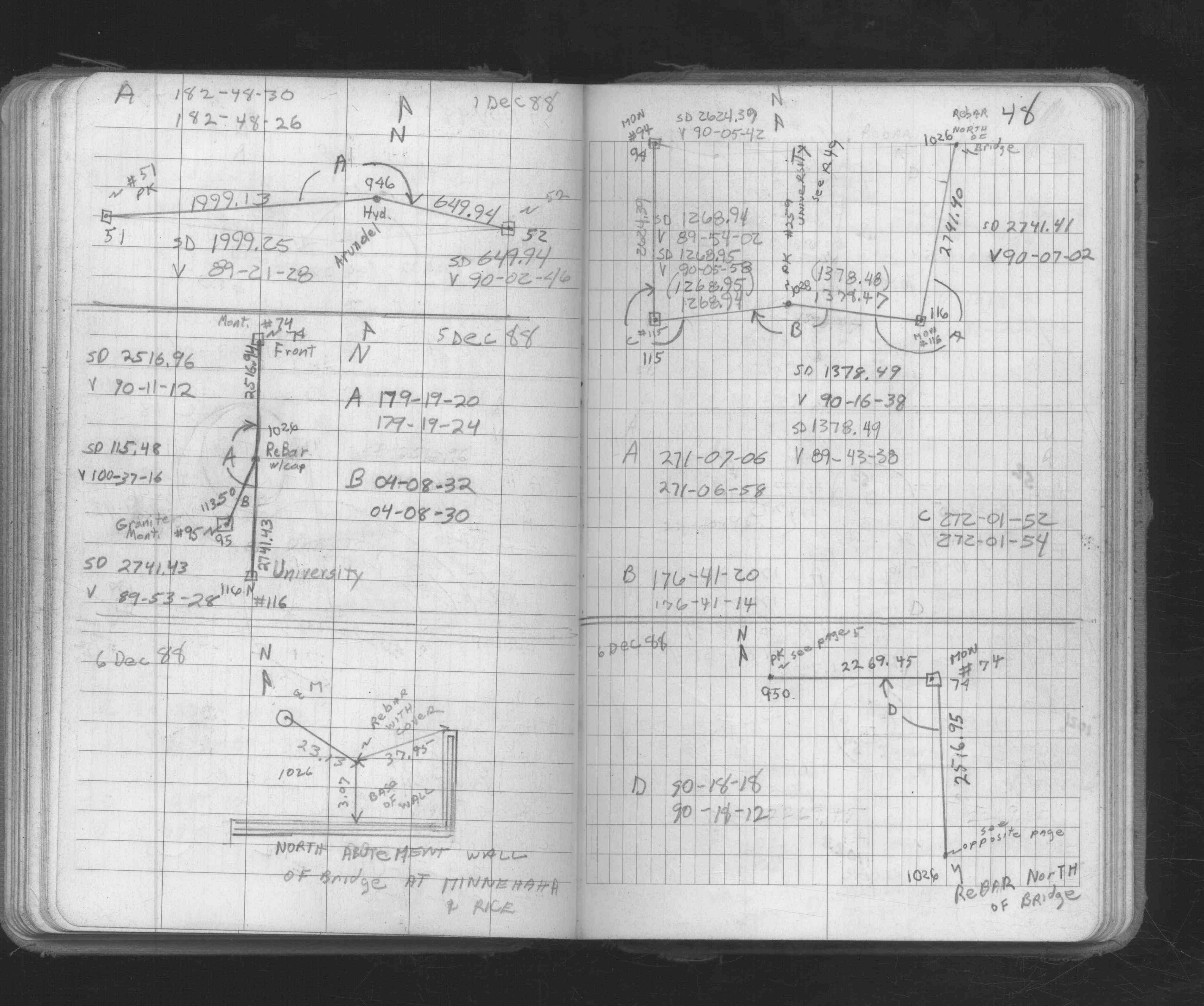
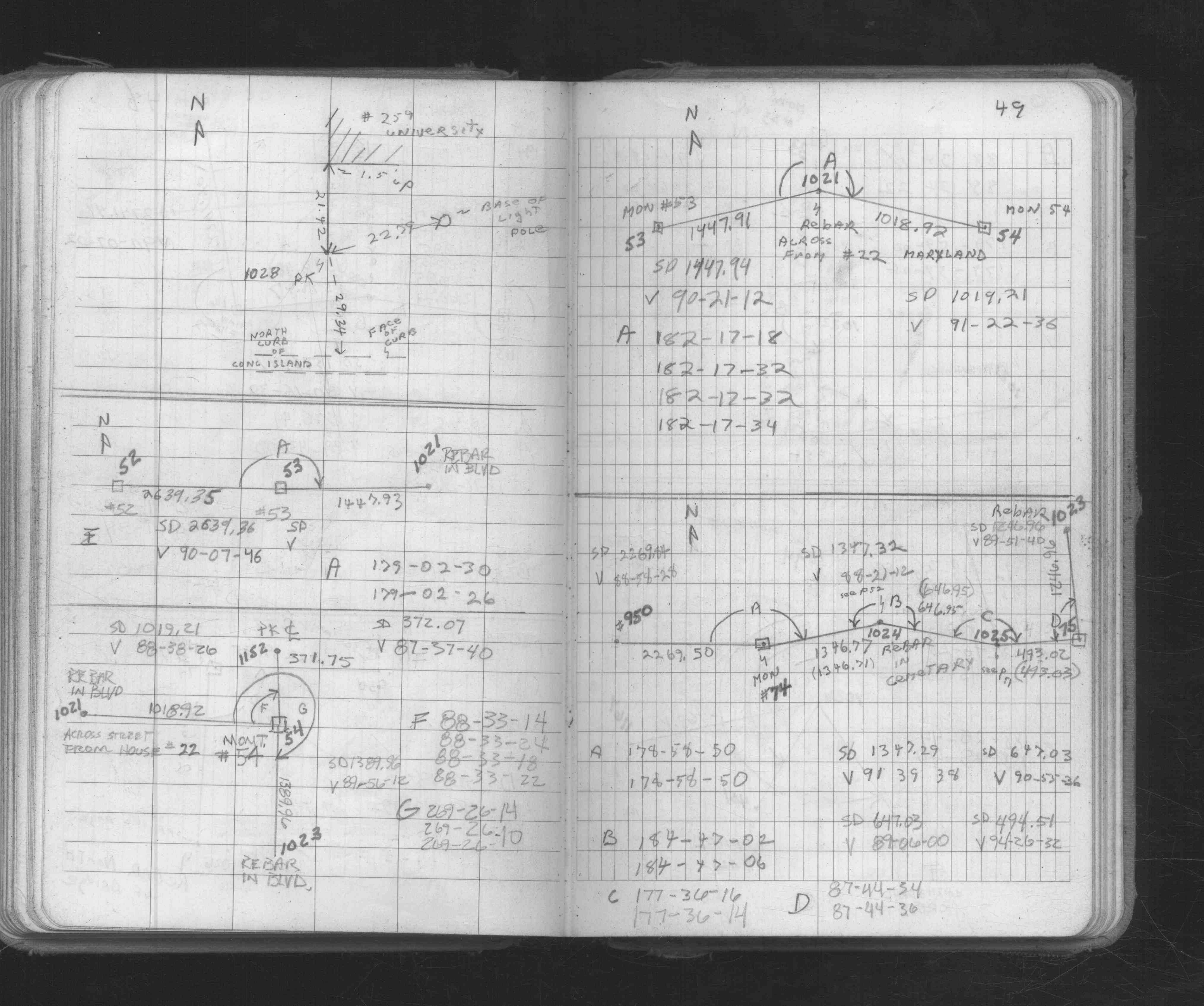
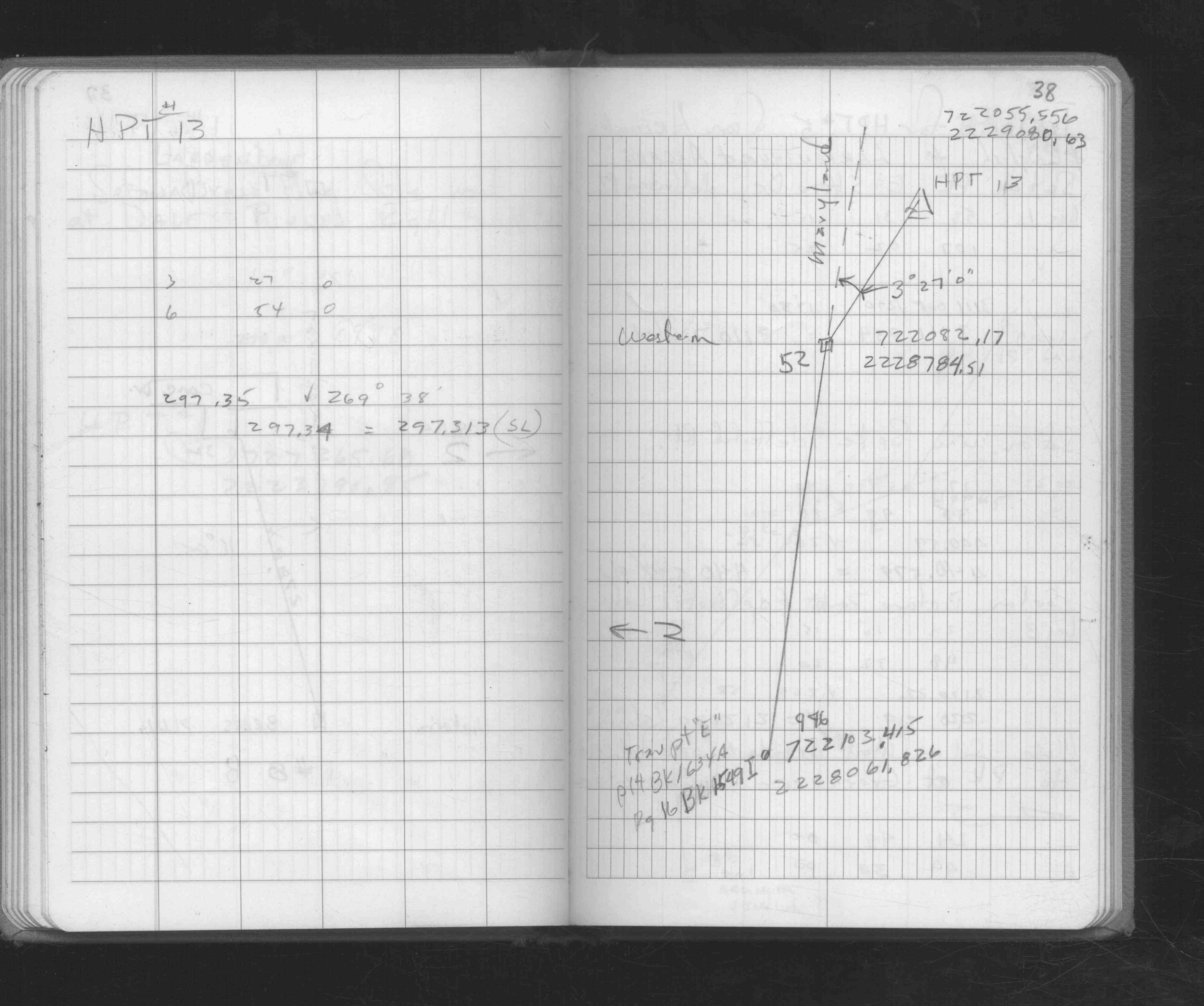
| FB 1689Ap.14 | ||||||
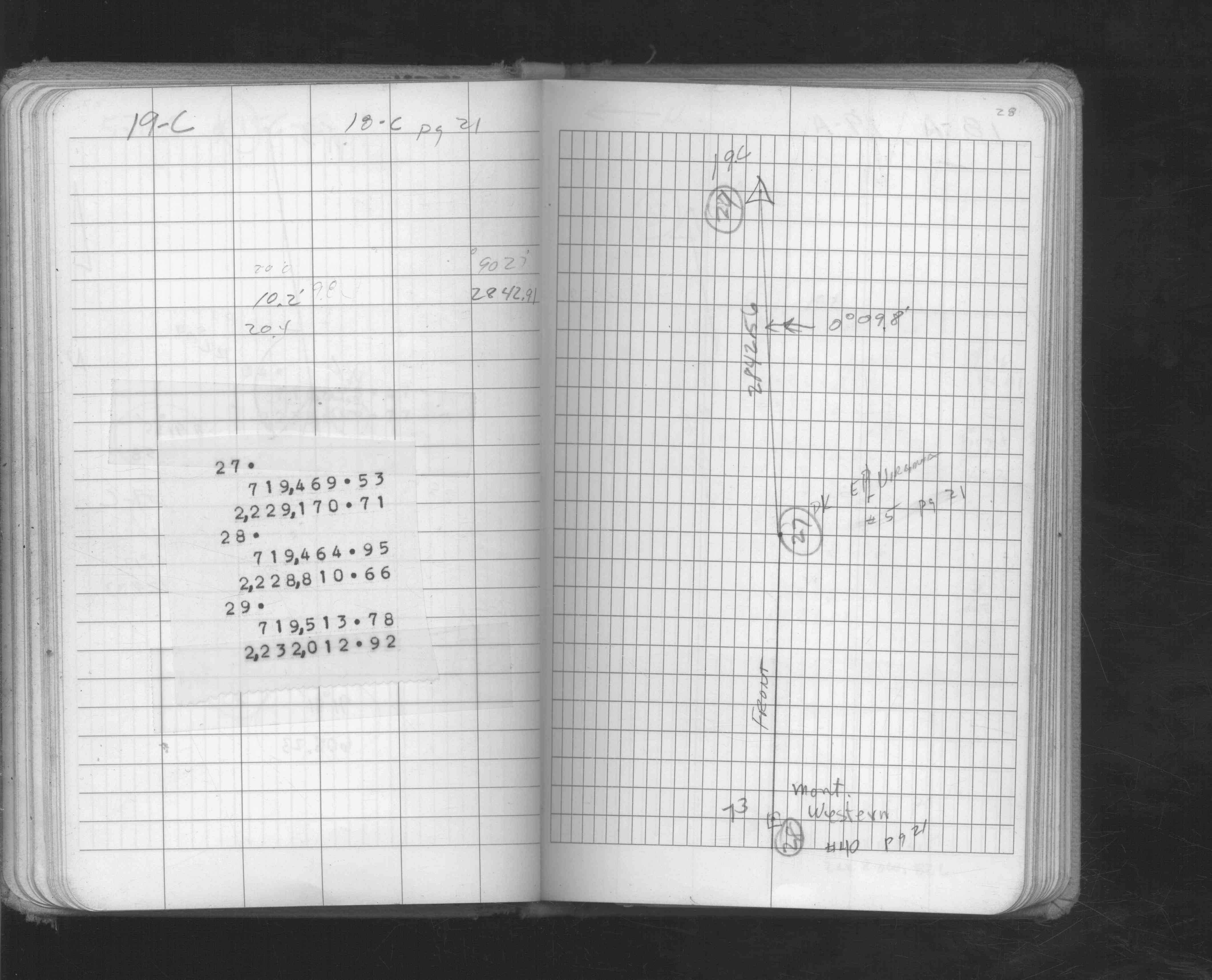
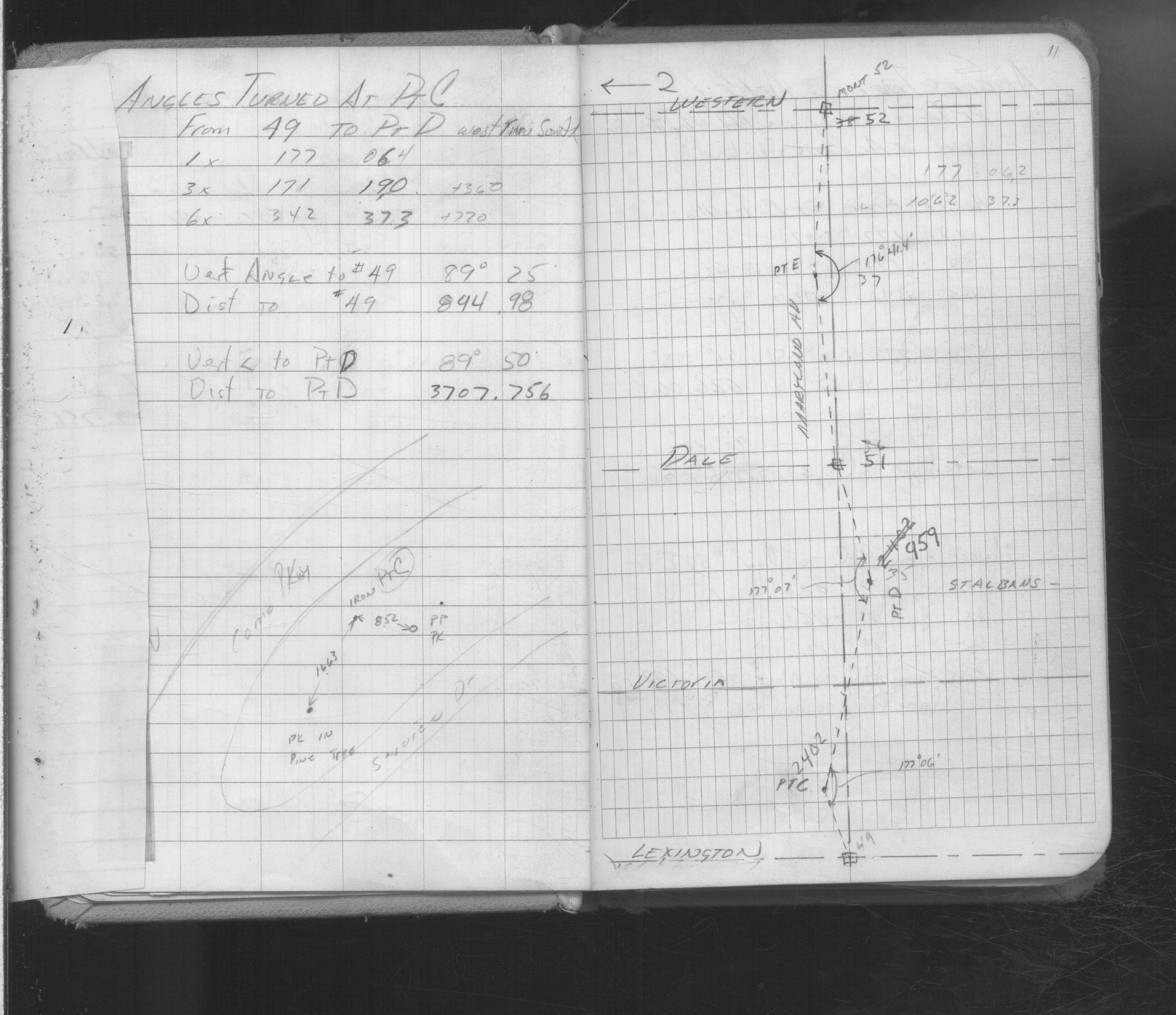
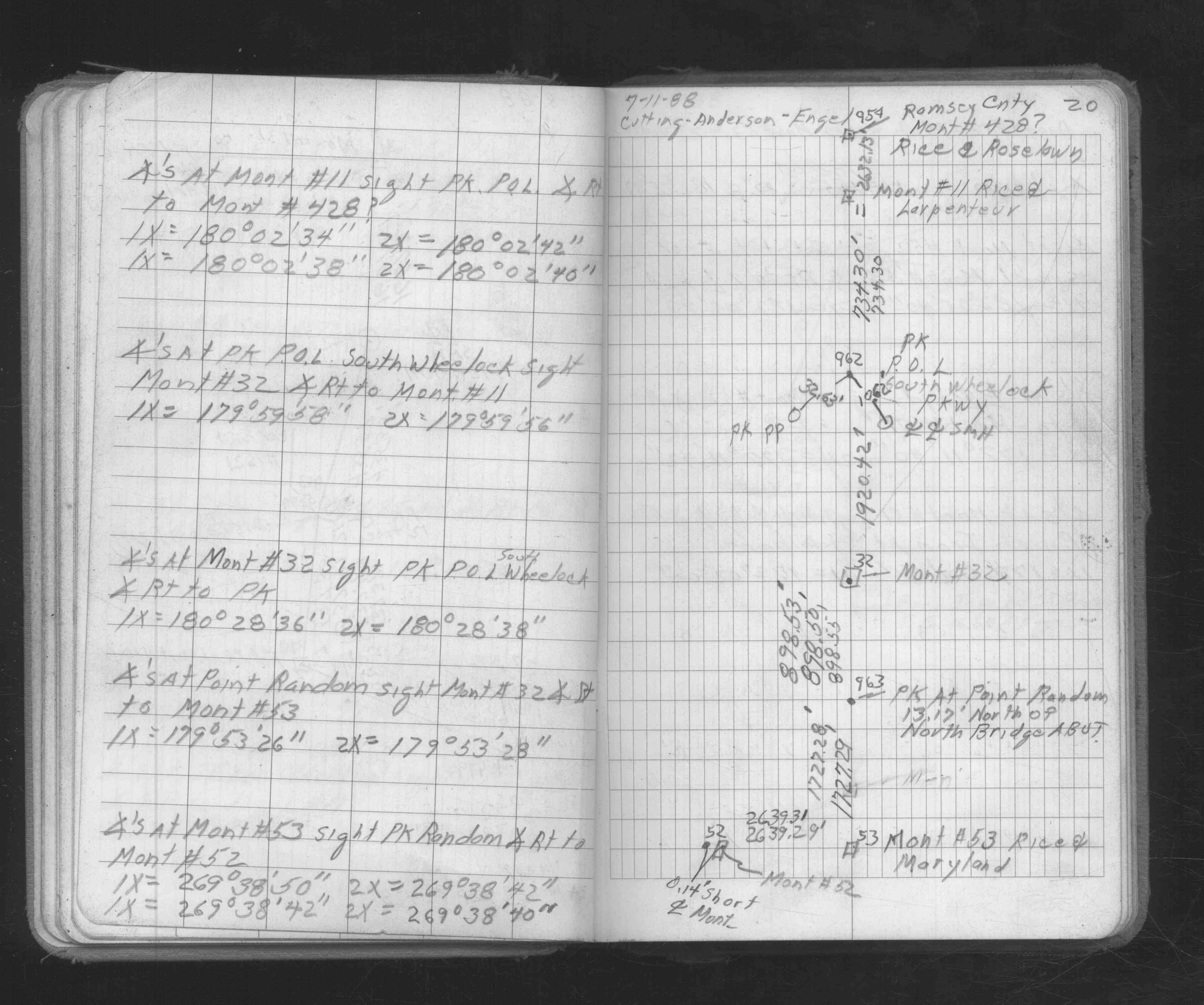
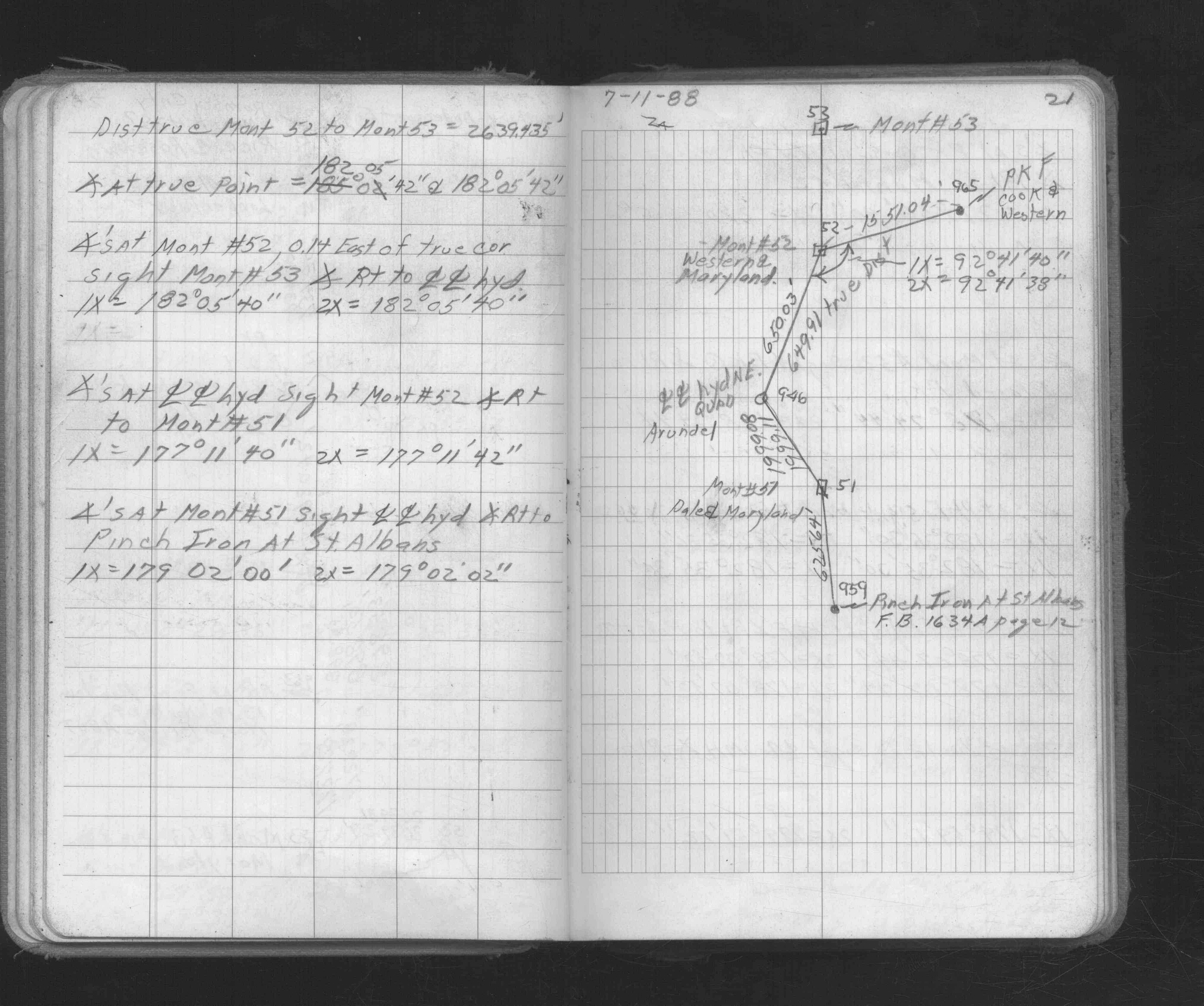
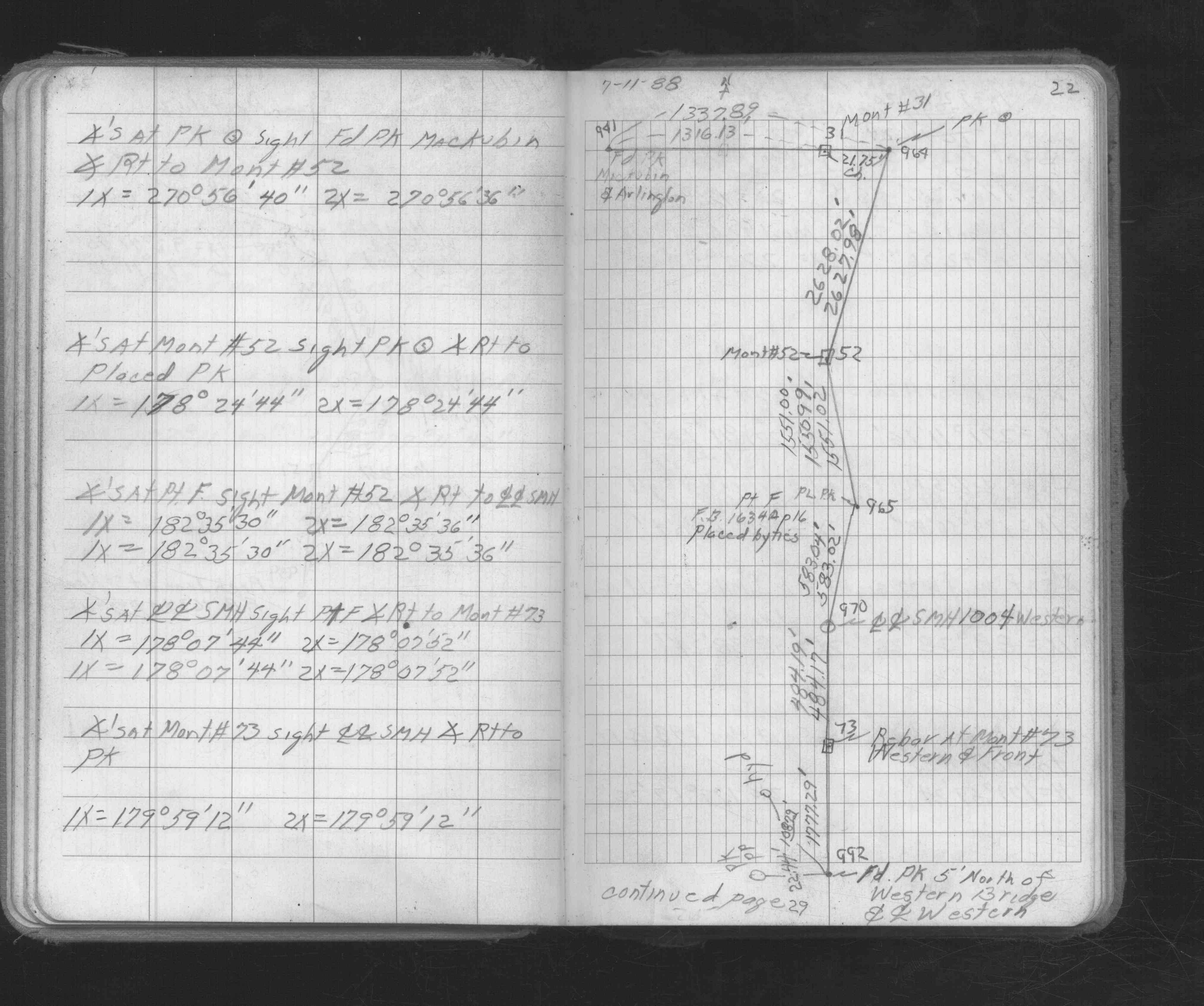
| FB 1721p.24 | ||||||
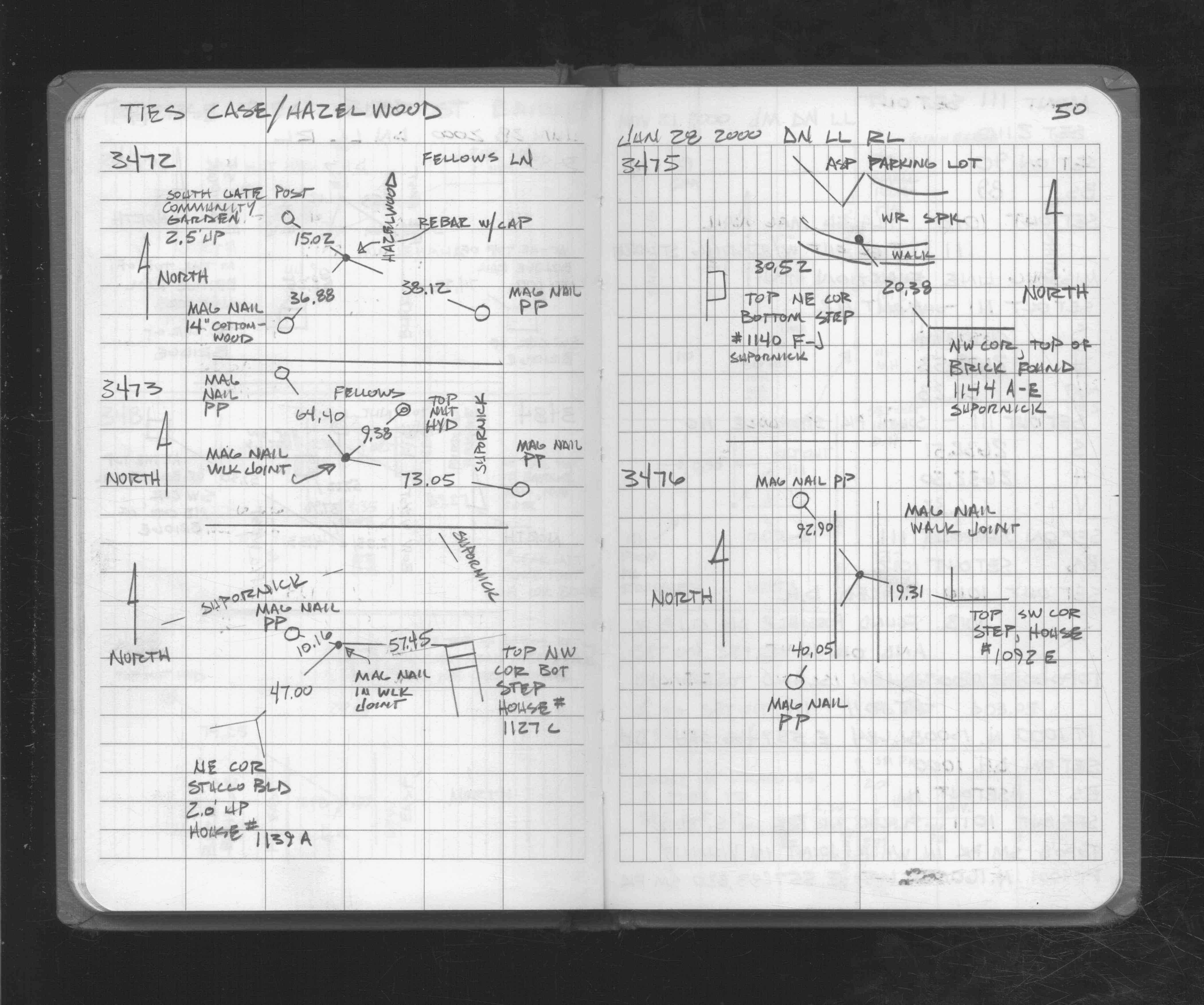
| FB 1721p. 24 ,50 | ||||||
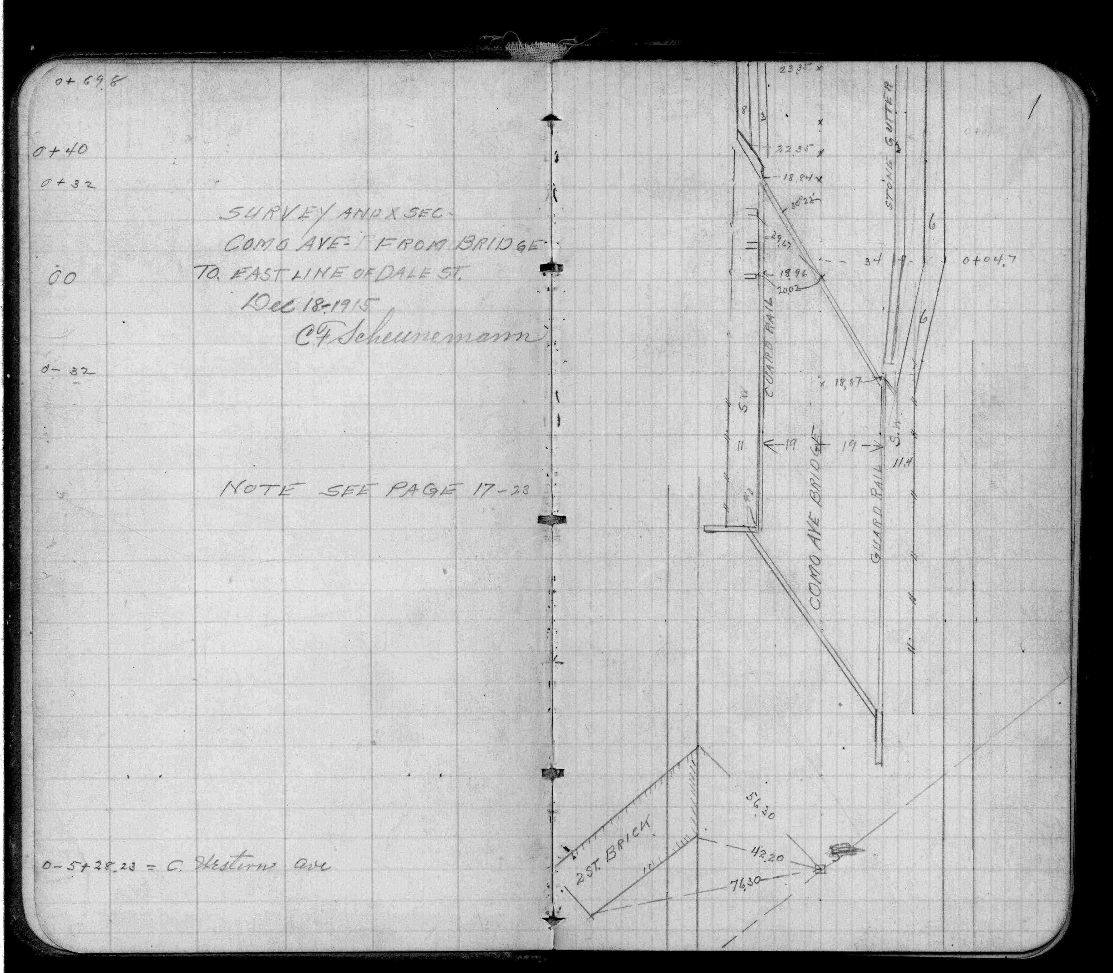
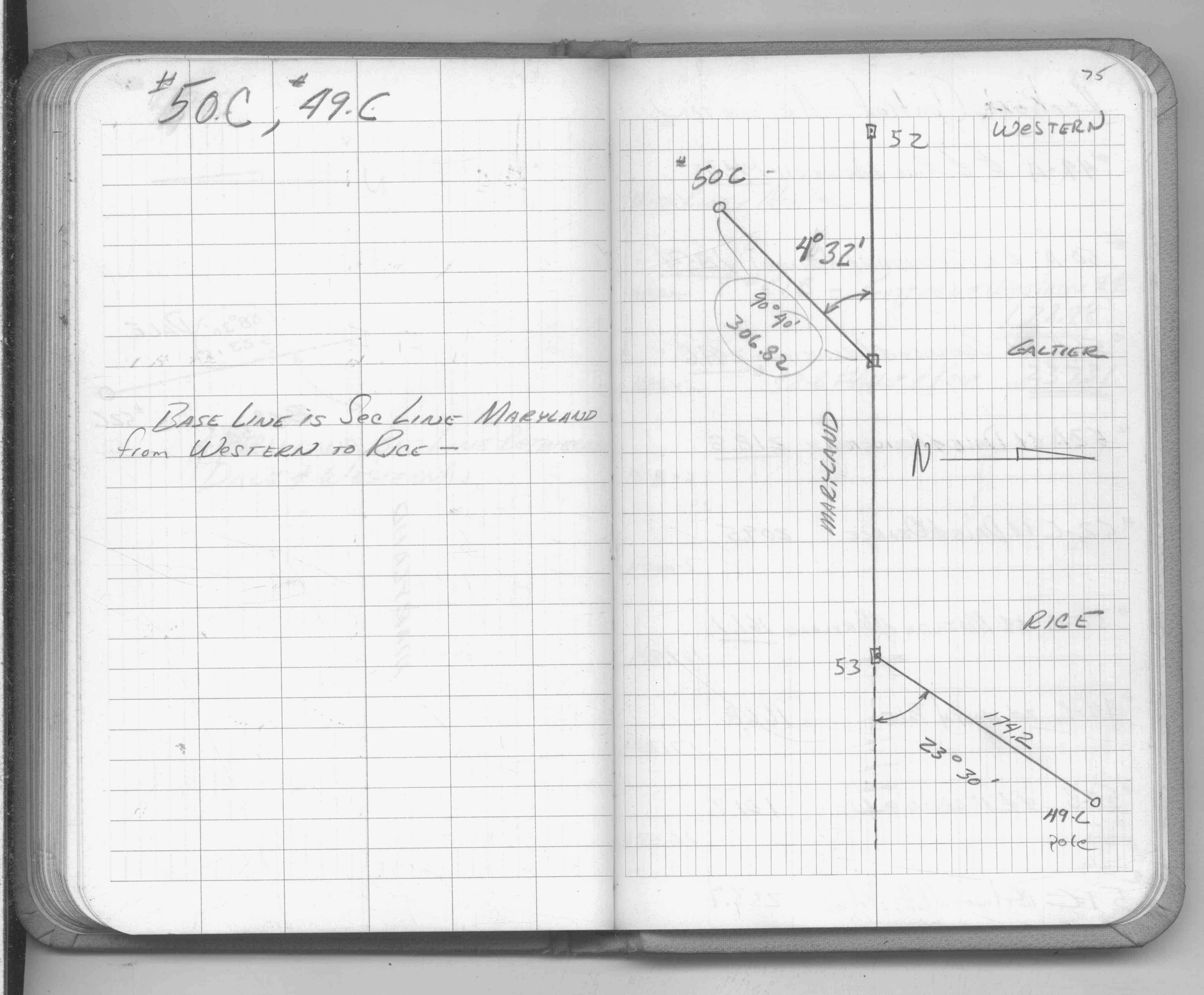
| FB 1736p.12 |
| FILE | SURVEYOR | LIC. NO. | DATE SIGNED | DATE TIED |
|---|---|---|---|---|
| 0052-0015-B.tif | Jeffery L. Grosso | 13144 | March 20, 2002 | June 21, 1999 |
| 0052-0015-A.tif | William J. Cutting | 20576 | October 9, 1995 | September 25, 1995 |
| ST_001-078p052.jpg | none | none | none | none |
| 0052-0015-A.dwf | none | none | none | none |
| FILE | PHOTO DATE | COMMENTS |
|---|---|---|
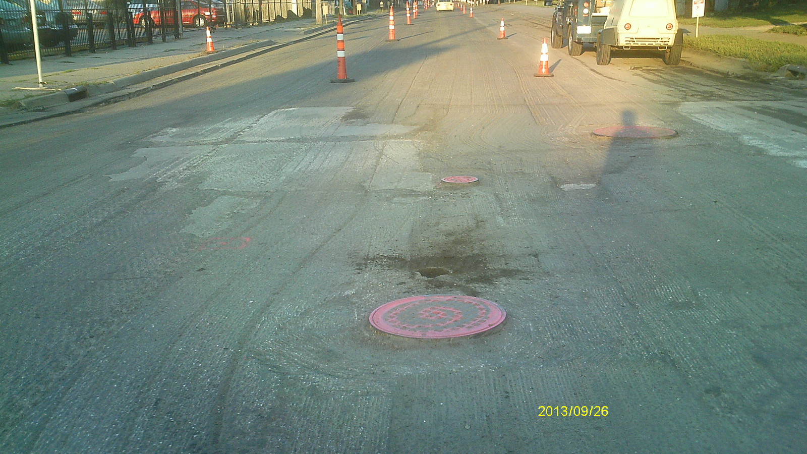
| 0052-0015-6.jpg | September 26, 2013 | Looking west along Maryland Ave. |
| 0052-0015-5.jpg | September 26, 2013 | Looking south along Western Ave. |
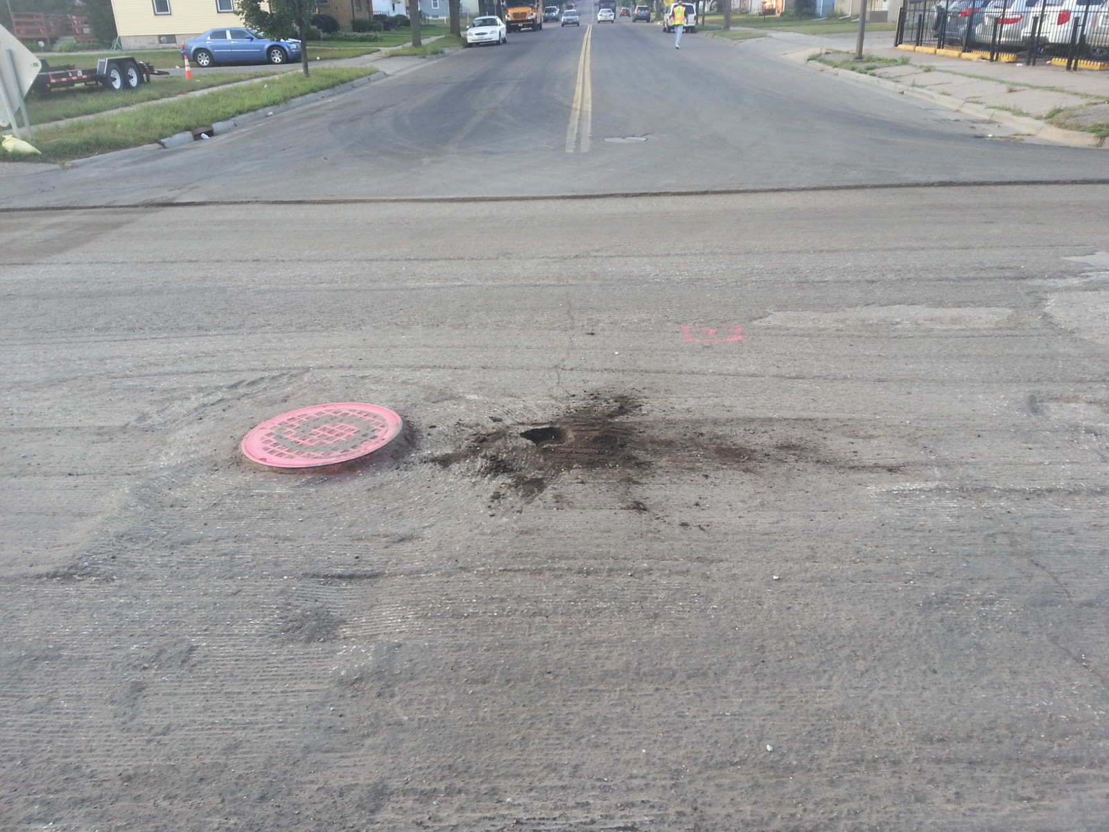
| 0052-0015-4.jpg | September 26, 2013 | Looking north. |
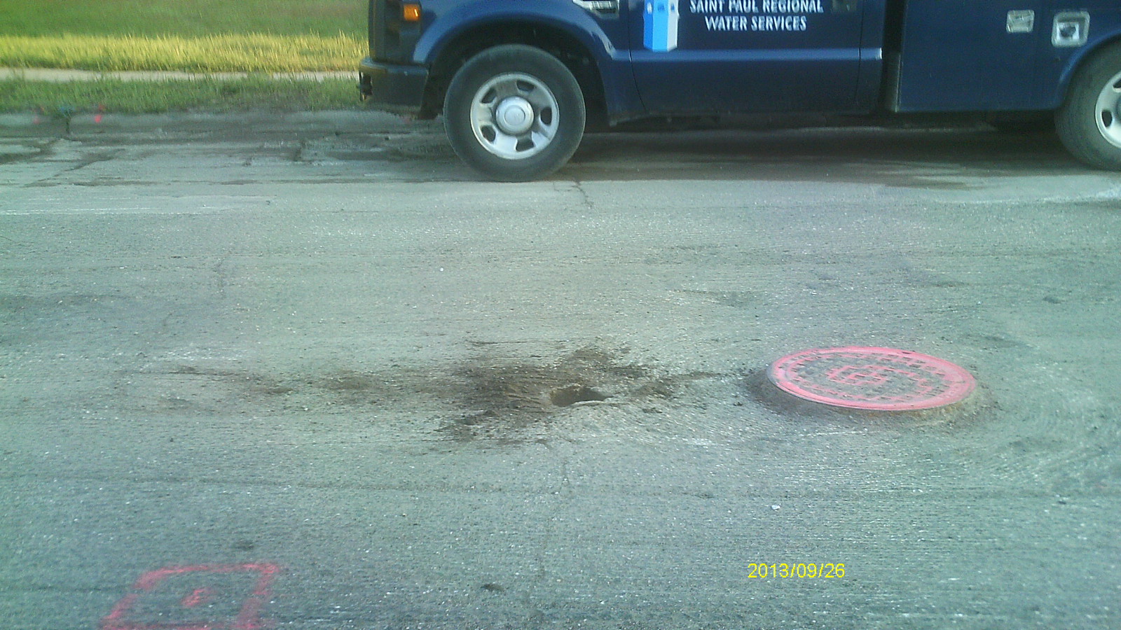
| 0052-0015-3.jpg | September 26, 2013 | Close up of monument location. |
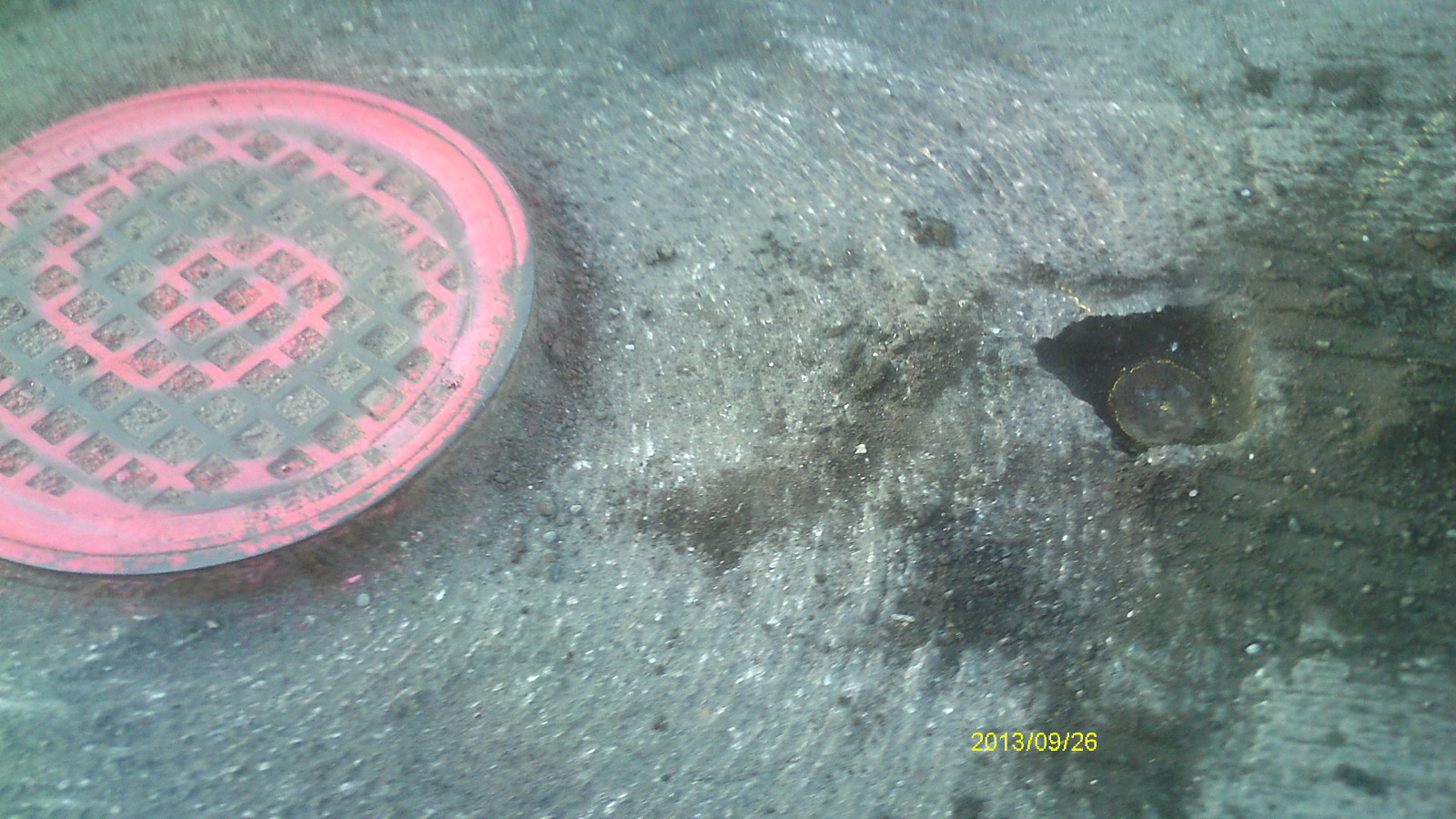
| 0052-0015-2.jpg | September 26, 2013 | Close up of monument. |
| 0052-0015-1.jpg | June 28, 2004 | Close up of monument. |