| NAD83 COORDINATES (1986 adj.): |
|---|
| * X= 571792.9 Y= 168040.86 Z= 0 LSQ 12/6/1991 S FIX |
| X= 571792.91 Y= 168040.89 Z= 862.7 1/10/2005 RTK-VRS |
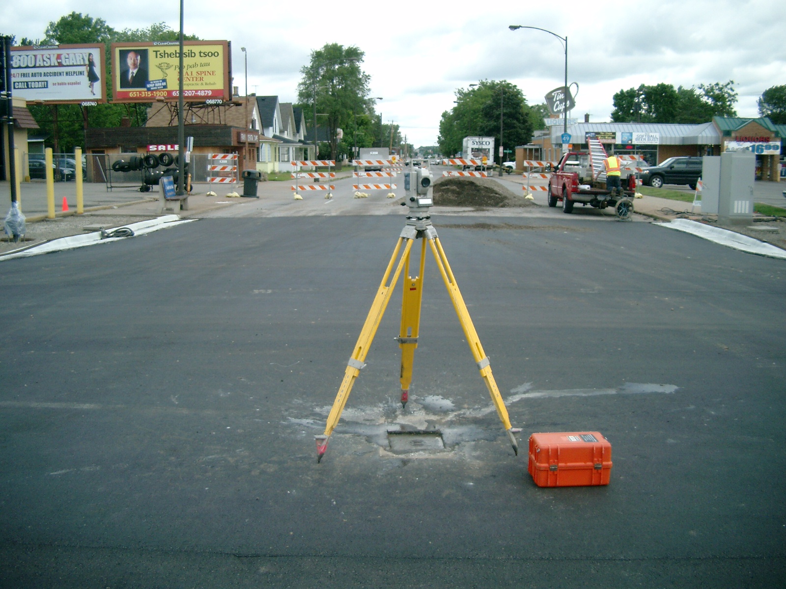
| 5/26/2012 | GM replaced with CIM under casting. Photos taken and EDM ties placed using Sokkia Set 5. |
| 6/27/2011 | Found GM beneath casting. Photos taken and ties placed. |
| 6/17/2011 | Found GM beneath casting. Photos taken. |
| 3/3/2005 | Position on GM established by RTK-VRS GPS. |
| 1/10/2005 | Position on GM established by RTK-VRS GPS. Elev 862.7 ft |
| 8/25/2004 | Small MH casting set over GM during mill/overlay by county contractor under the supervision of the Ramsey County Surveyor's Office |
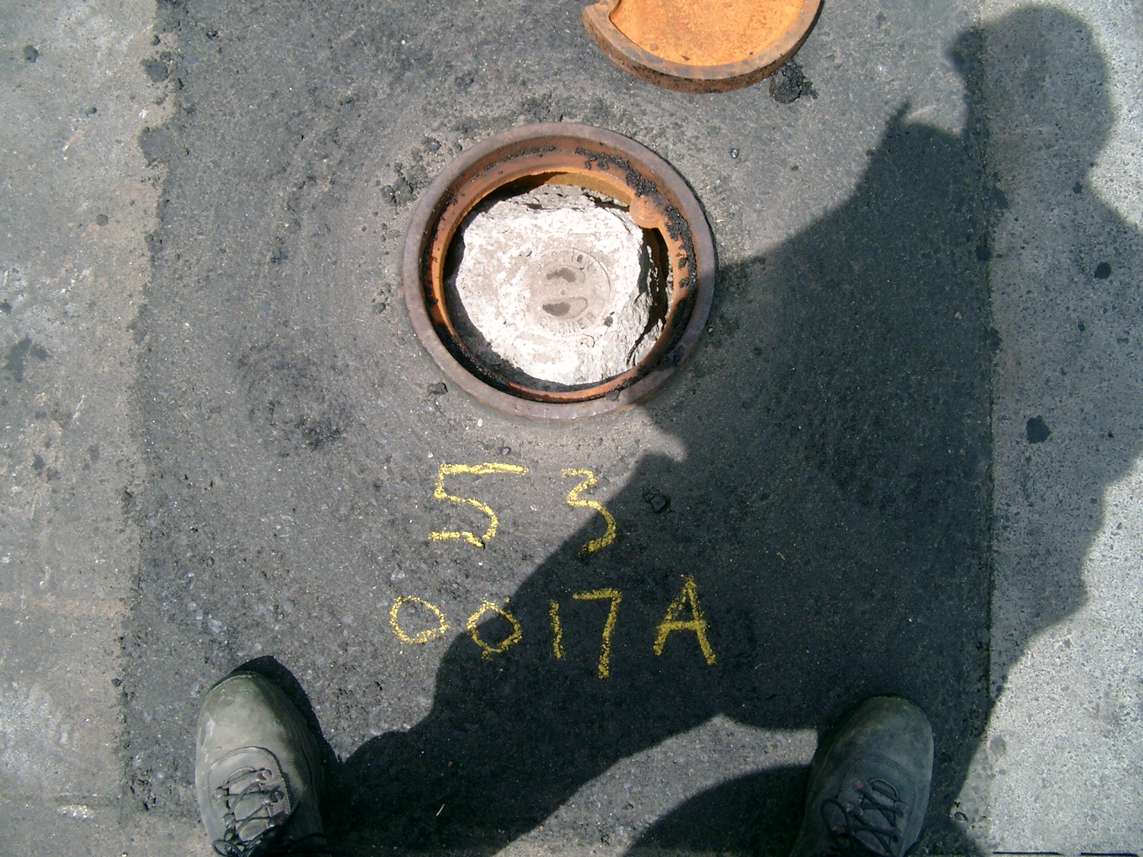
| 7/31/2004 | Fd GM 0.36 ft below road surface. See CofL 0053-0017A-B1 |
| 7/31/2004 | Elev 168.60 ft on GM. See CofL 0053-0017A-B2 |
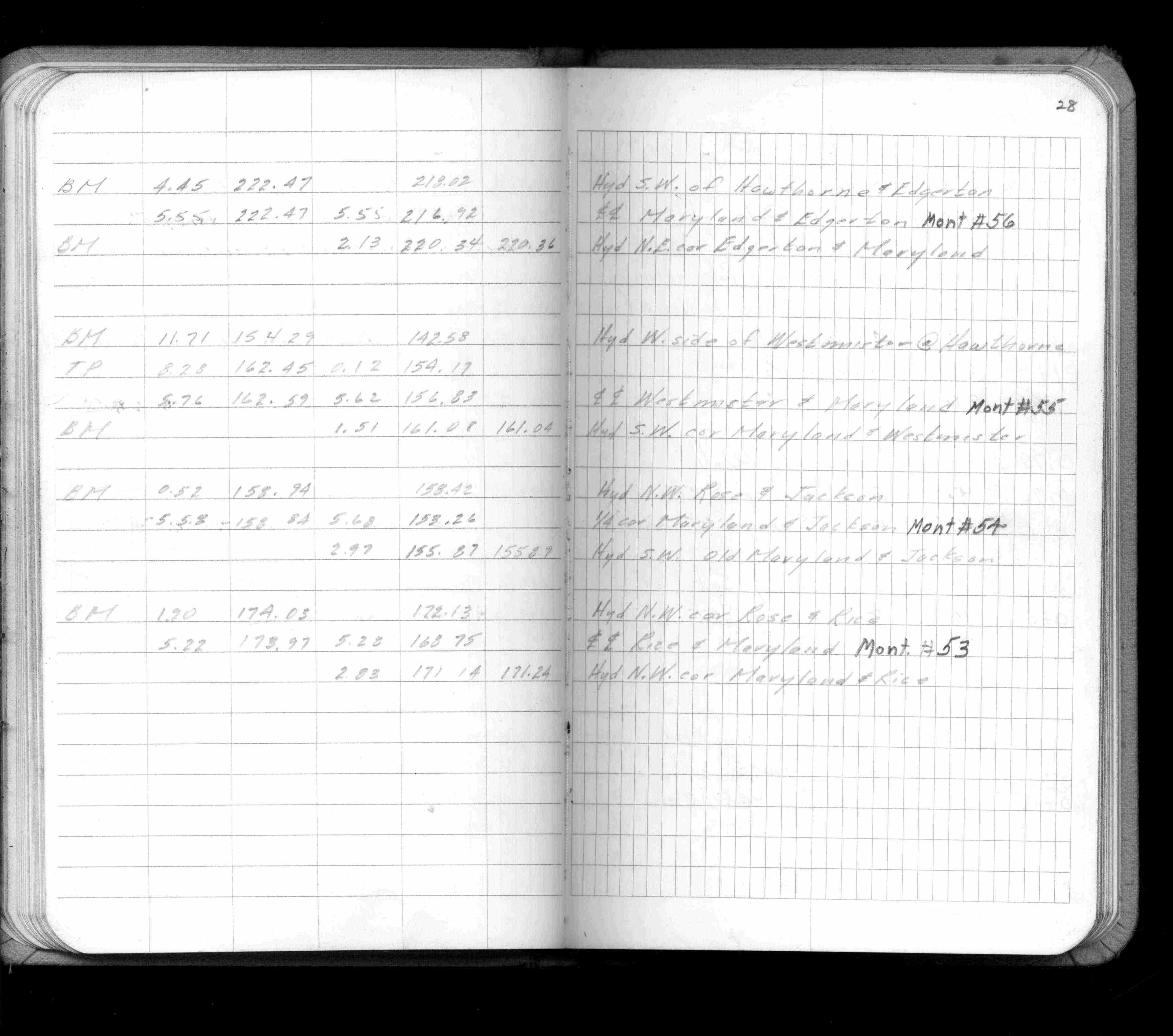
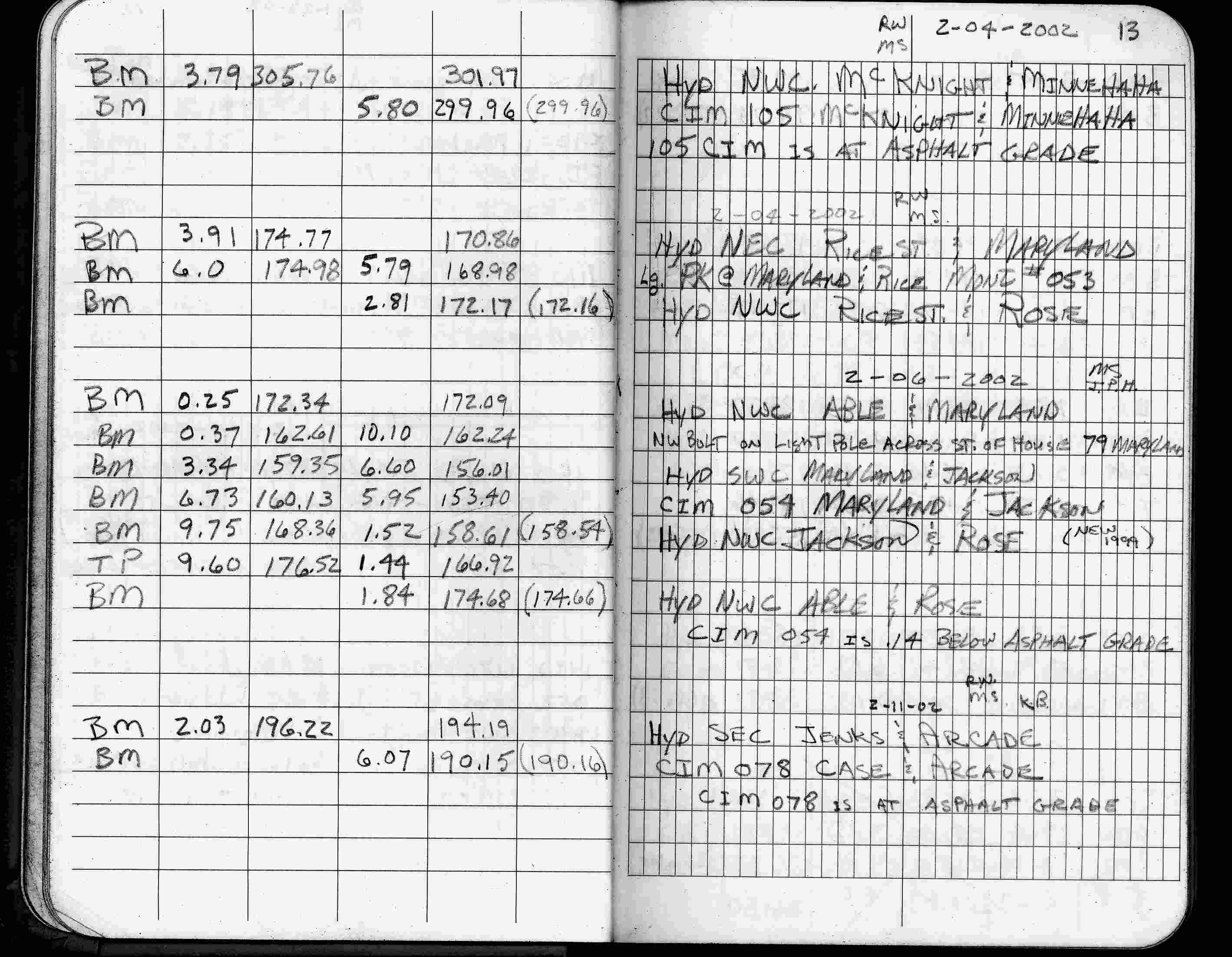
| 2/4/2002 | Elev 168.98 ft on large pk nail. See FB 1736 p.13 |
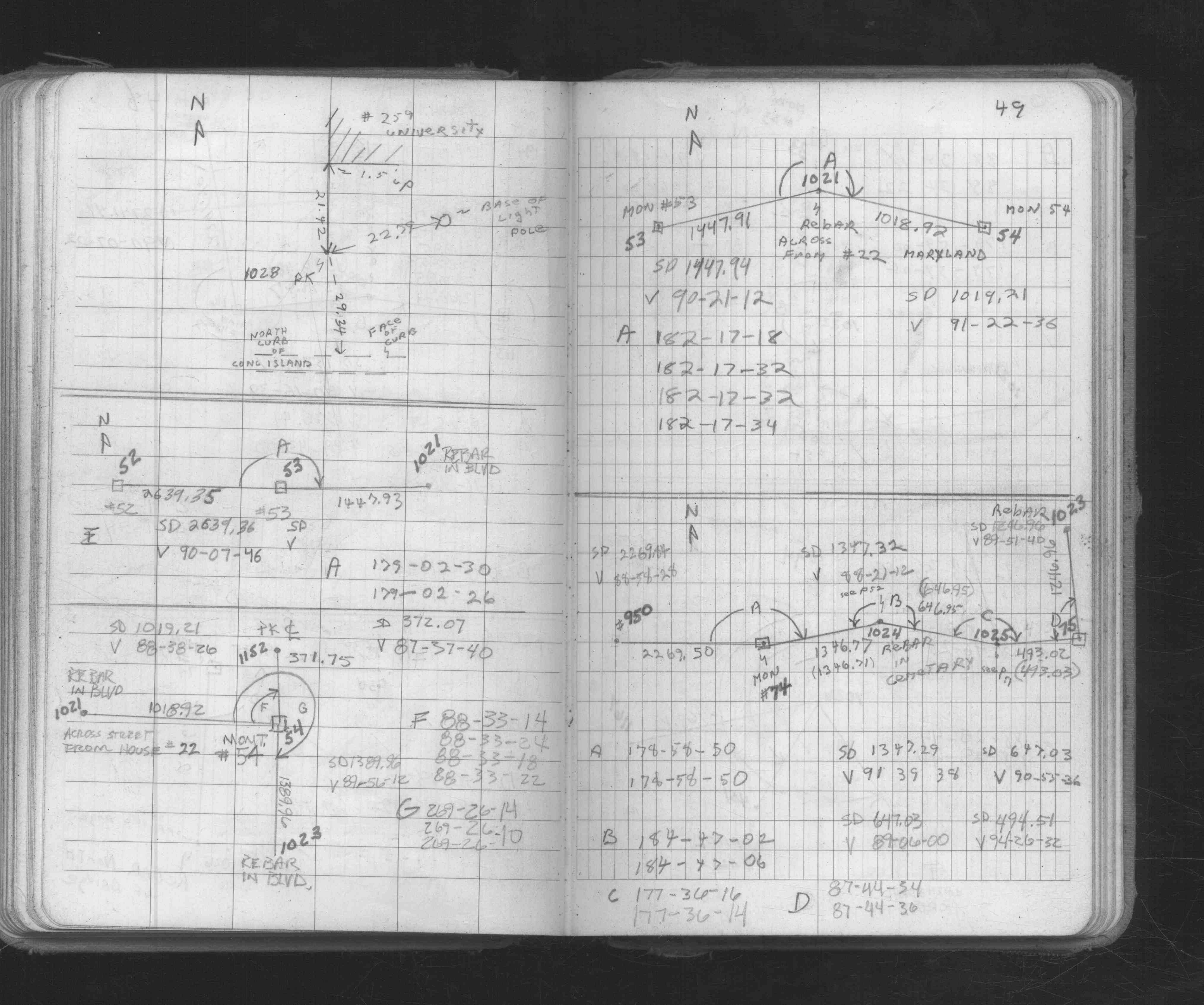
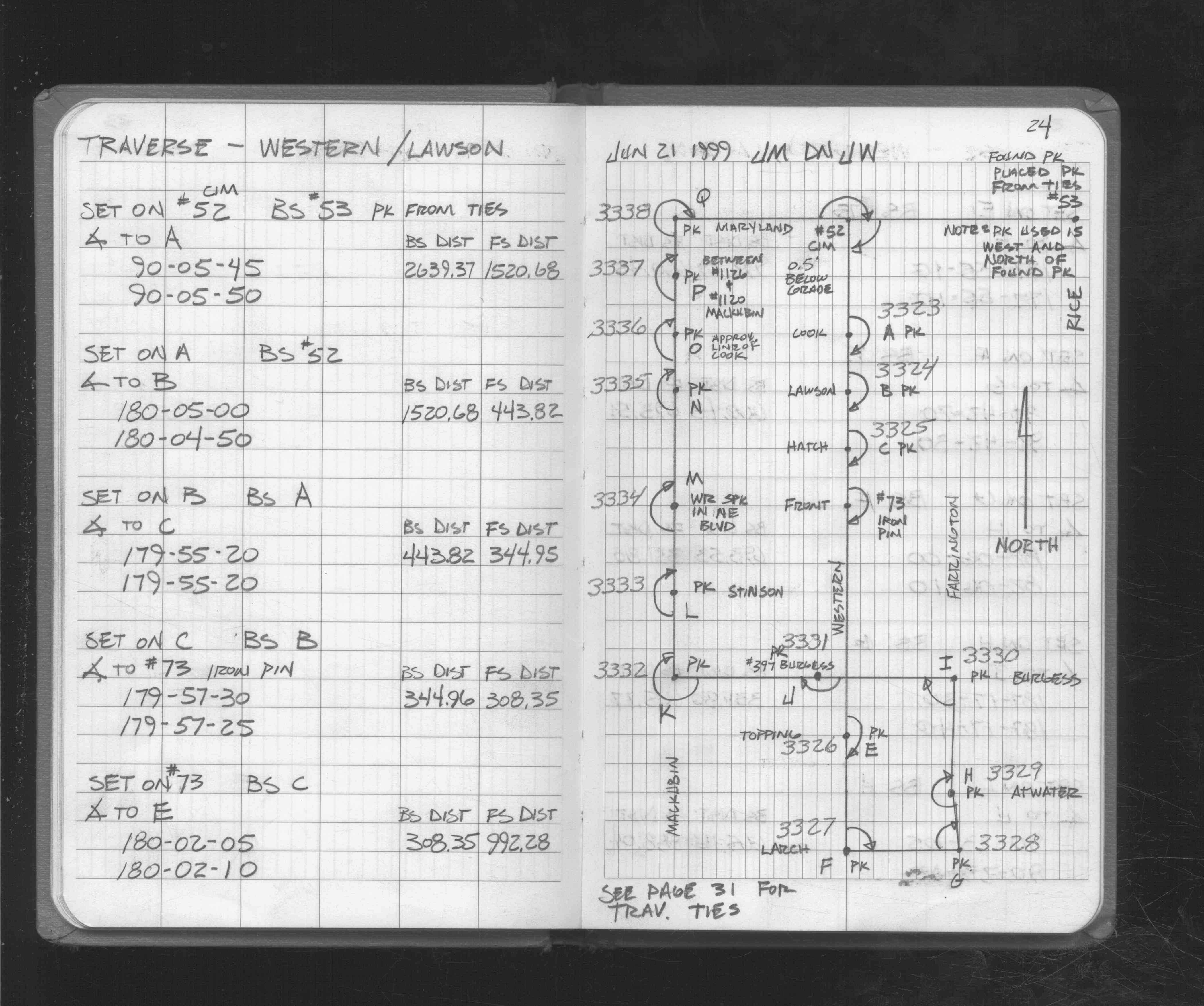
| 6/21/1999 | Found pk nail, place another pk nail from ties. pk set is west & north of fd pk nail. See FB 1721 p.24 |
| 7/29/1991 | Found GM 0.4 ft below road surface. See CofL 0053-0017-A |
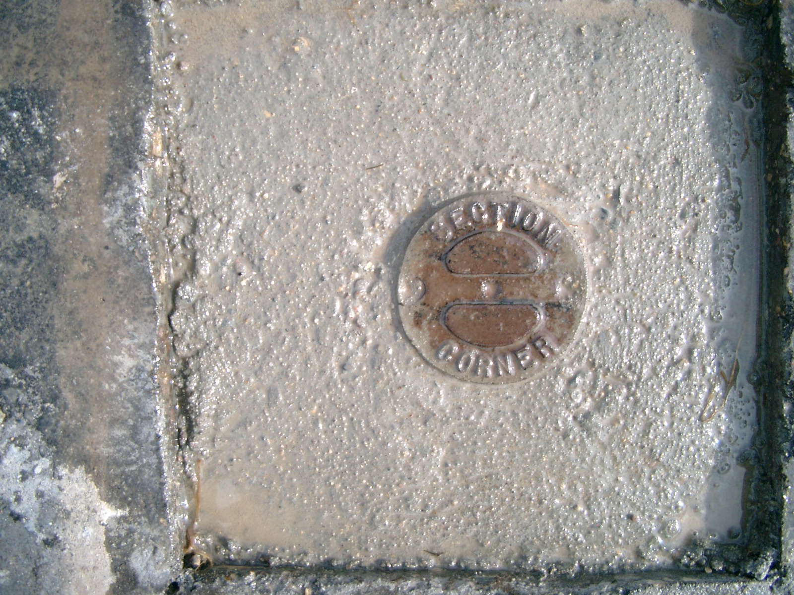
| 4/20/1987 | The Monument for Section corner set from these ties |
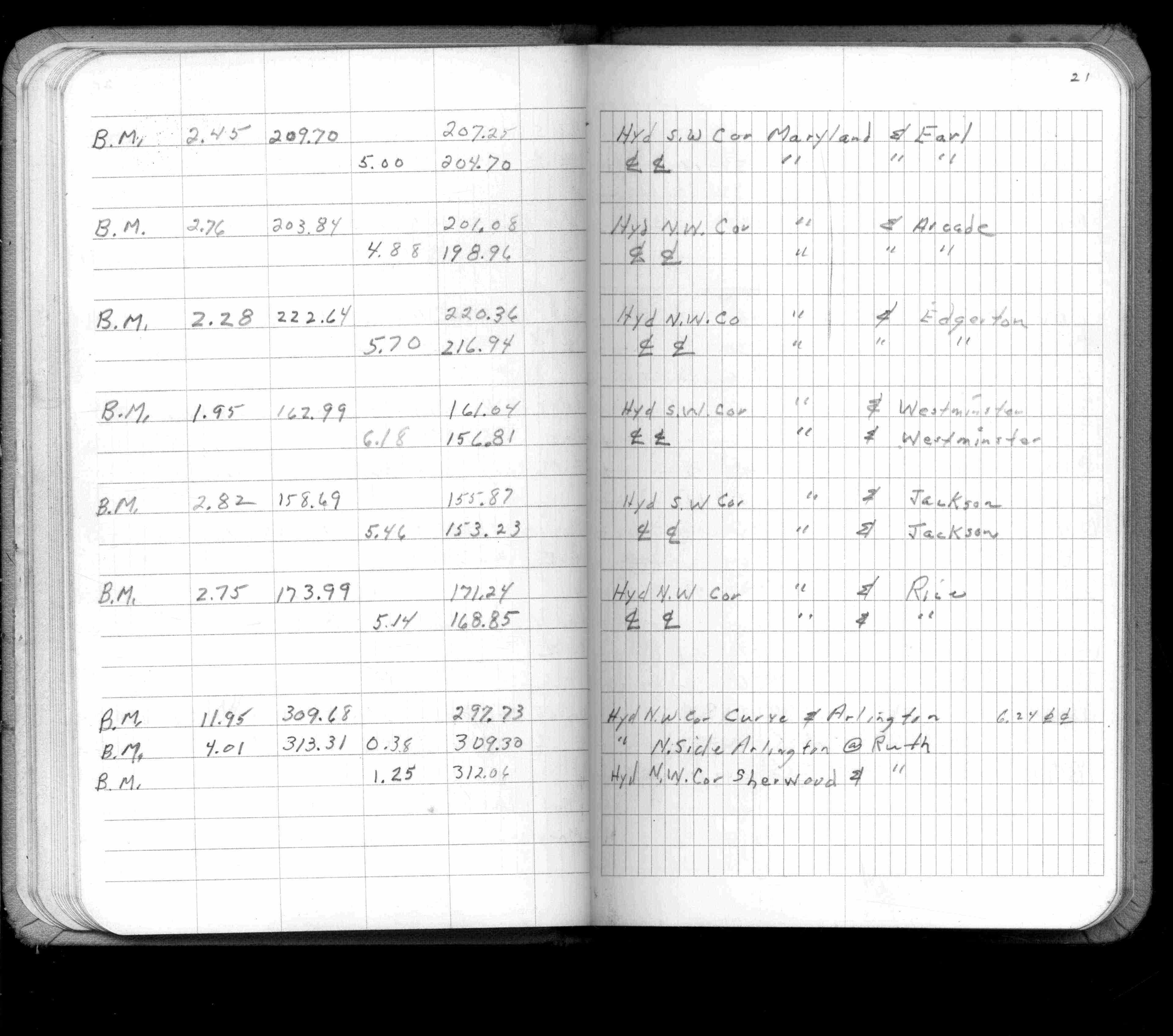
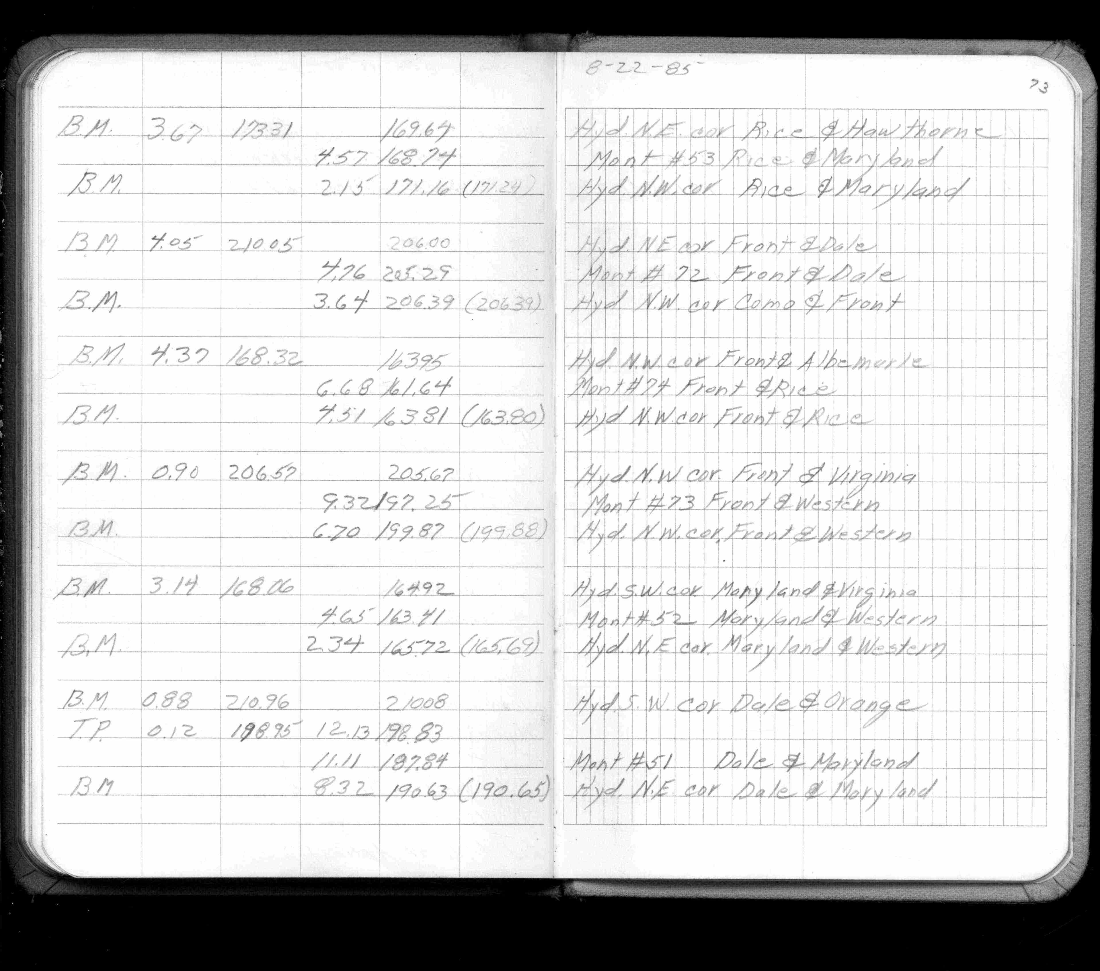
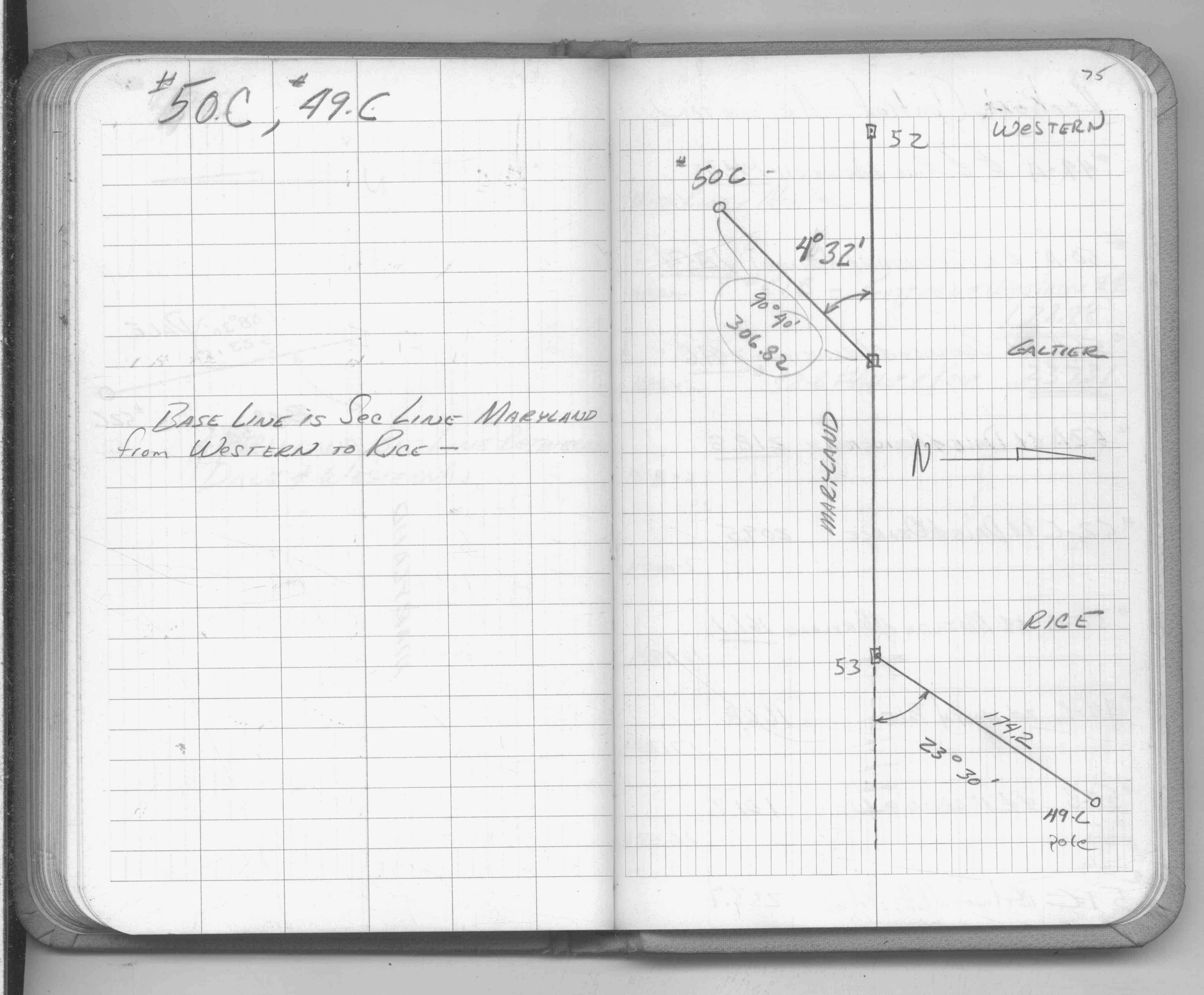
| 8/1/1985 | (Unknown date Aug __, 1985 ) Elev 168.74 ft on ?. See FB 1421A p.73 |
| 2/1/1985 | (Unknown date Feb __, 1985 ) GM set 0.2 ft below asphalt |
| 1/1/1985 | (Unknown date ___ __,1985 ) Historic, one time only GPS survey = S145 |
| 4/1/1982 | (Unknown date Apr __, 1982 ) Elev 168.85 ft on CLCL. See FB 1421A p.21 |
| 4/1/1982 | (Unknown date Apr __, 1982 ) Elev 168.75 ft on CLCL. See FB 1421A p.28 |
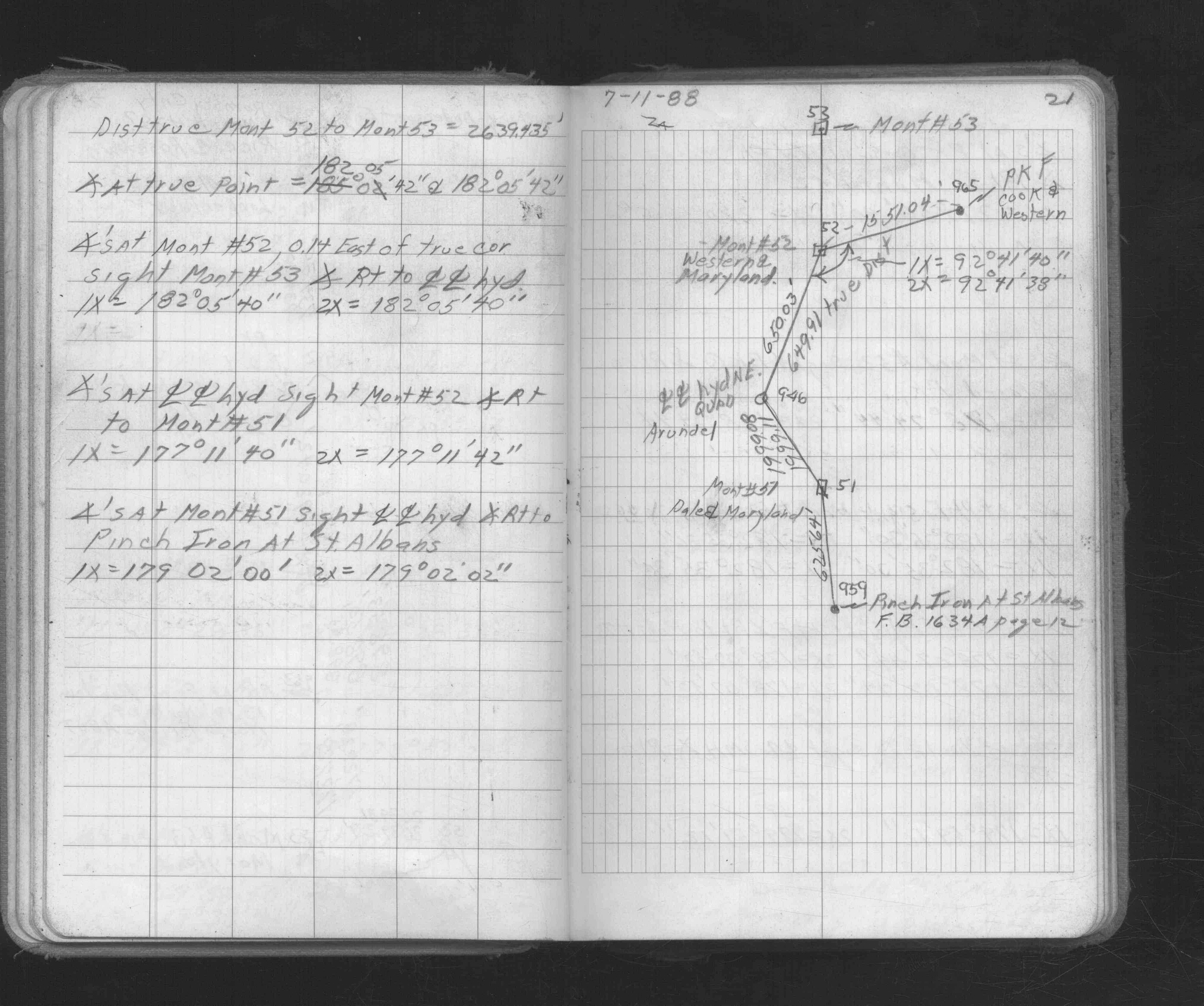
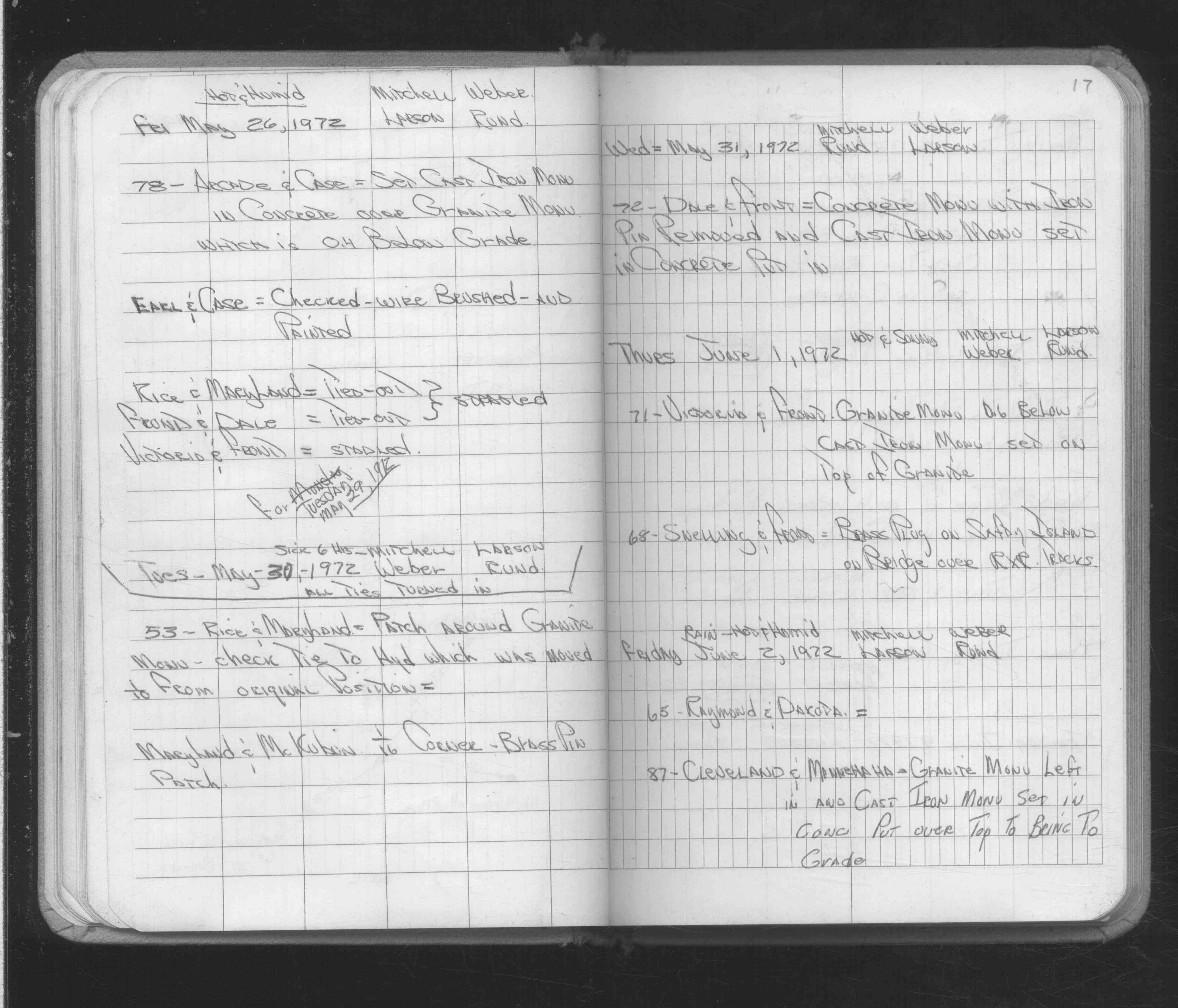
| 5/30/1972 | Patched around GM, checked ties to hyd which was move 1/10 from original pos. See FB 1689A p.17 |
| 10/8/1847 | James M Marsh deputy surveyor set post. Tied to 4 BTs. See JM p.076-077 border |
| 1/1/1800 | (Unknown date ___ __, ____ ) Note:The following ties from Mr Fowble put in under direction of D L Curtice |
Above is NOT an all inclusive history of this point. Please review all the links below.
| PLS NOTES | Field | Cross Section | Sewer | J.B. Irvine | Monument | River Survey |
|---|---|---|---|---|---|---|
| JM p.076-077 | FB 0300CPYp. 19 ,28 | |||||
| FB 0301p.14 | ||||||
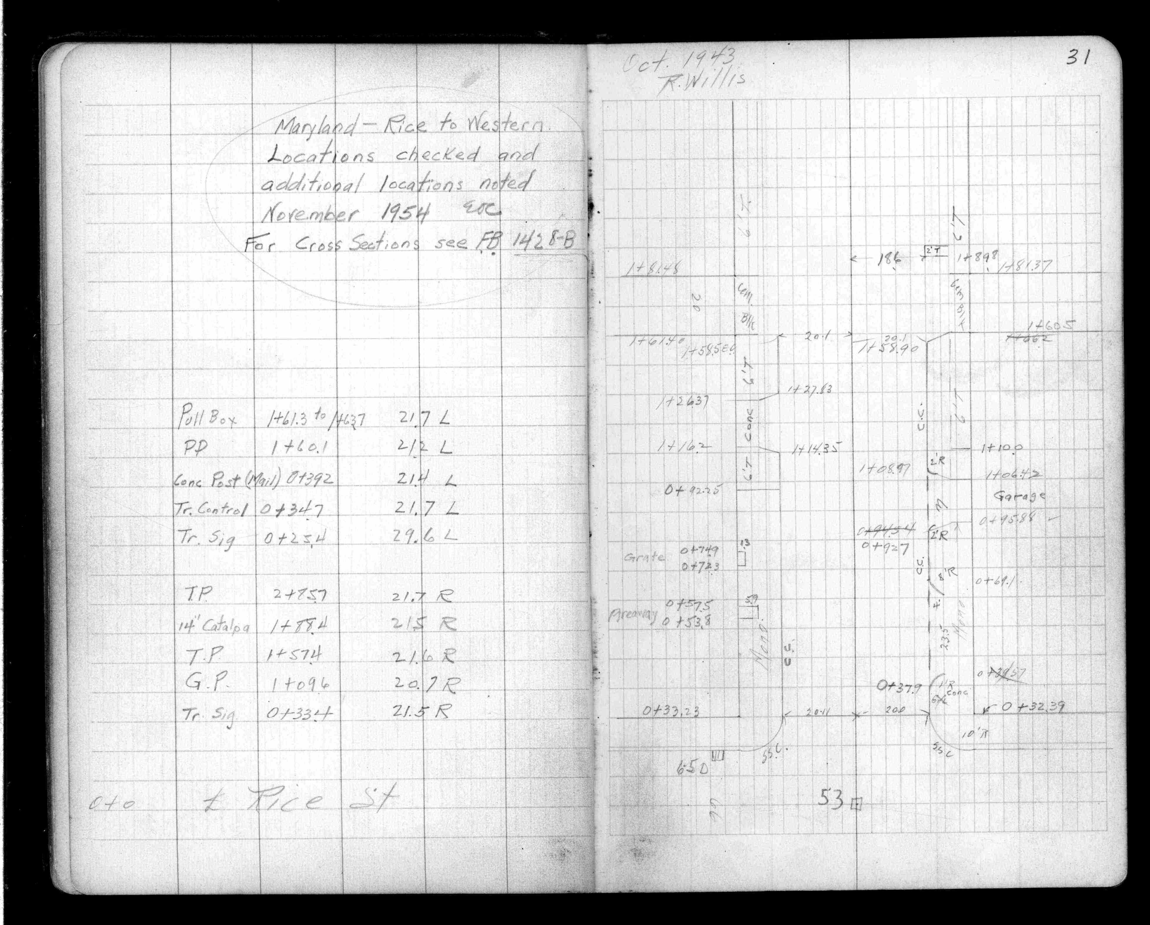
| FB 1341p.31 | ||||||
| FB 1421Ap.21 | ||||||
| FB 1421Ap.28 | ||||||
| FB 1421Ap.73 | ||||||
| FB 1549D2p.10 | ||||||
| FB 1549Fp.75 | ||||||
| FB 1673Ap. 04 ,05 ,20 ,21 ,49 | ||||||
| FB 1689Ap.17 | ||||||
| FB 1721p.24 | ||||||
| FB 1721p.24 | ||||||
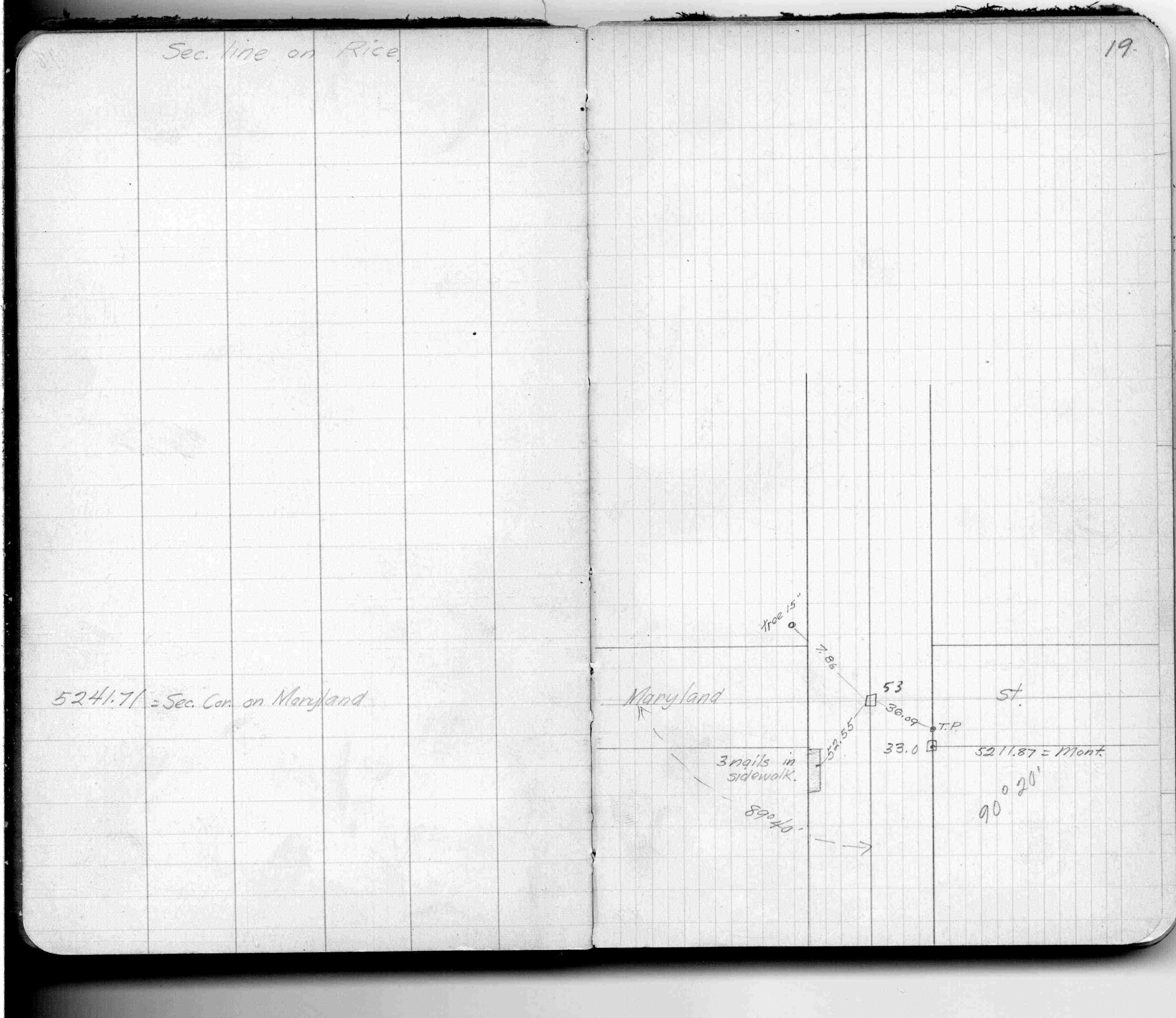
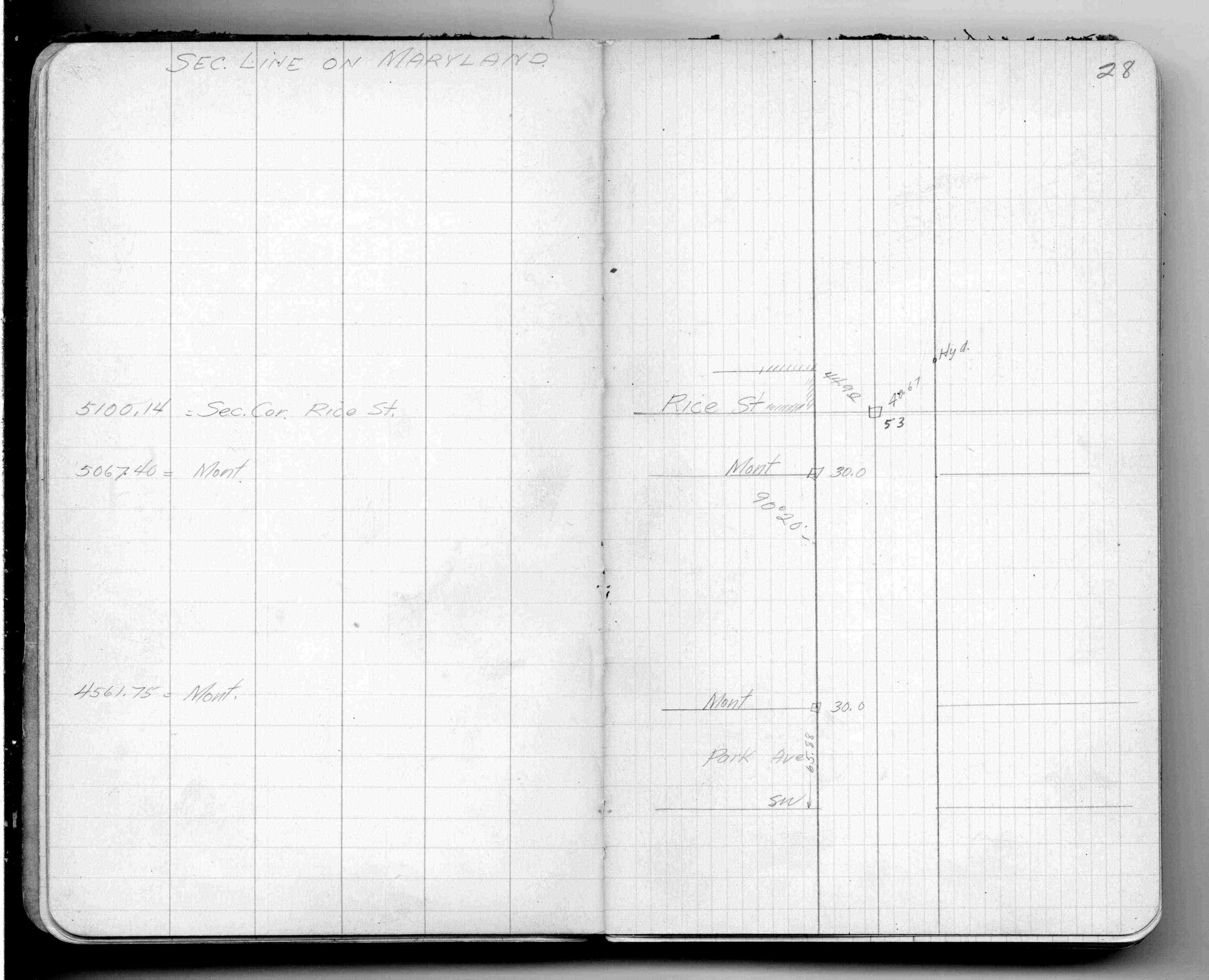
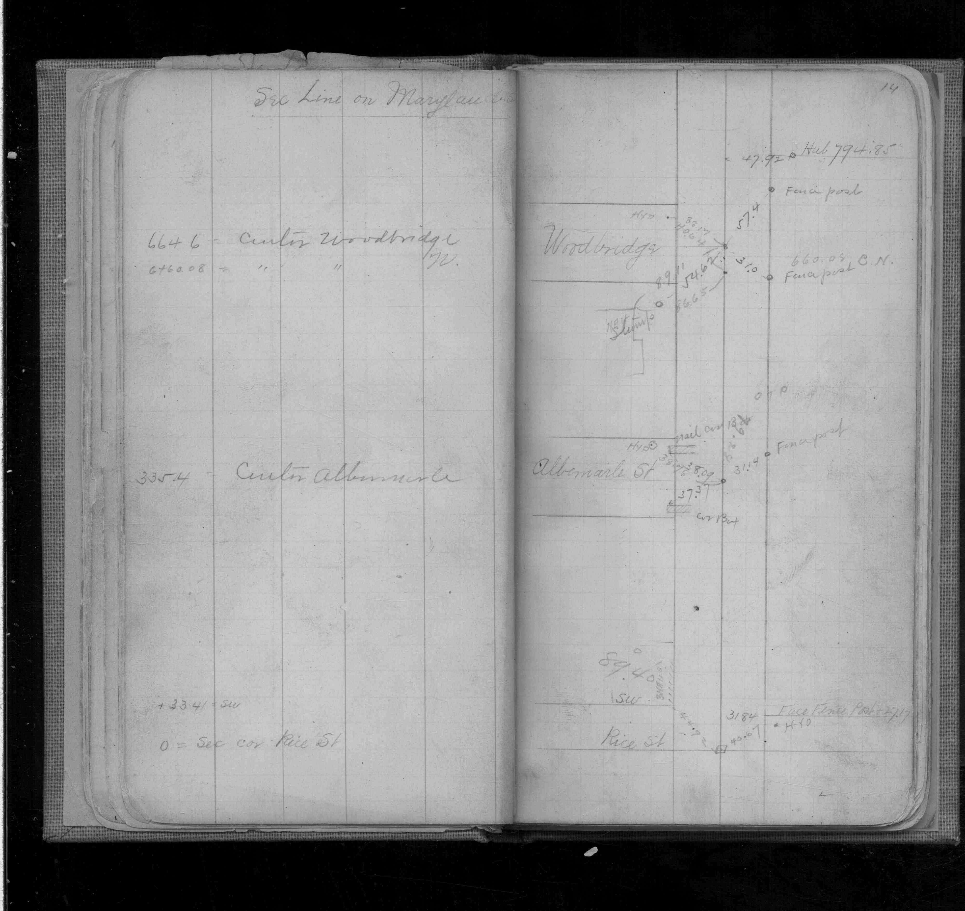
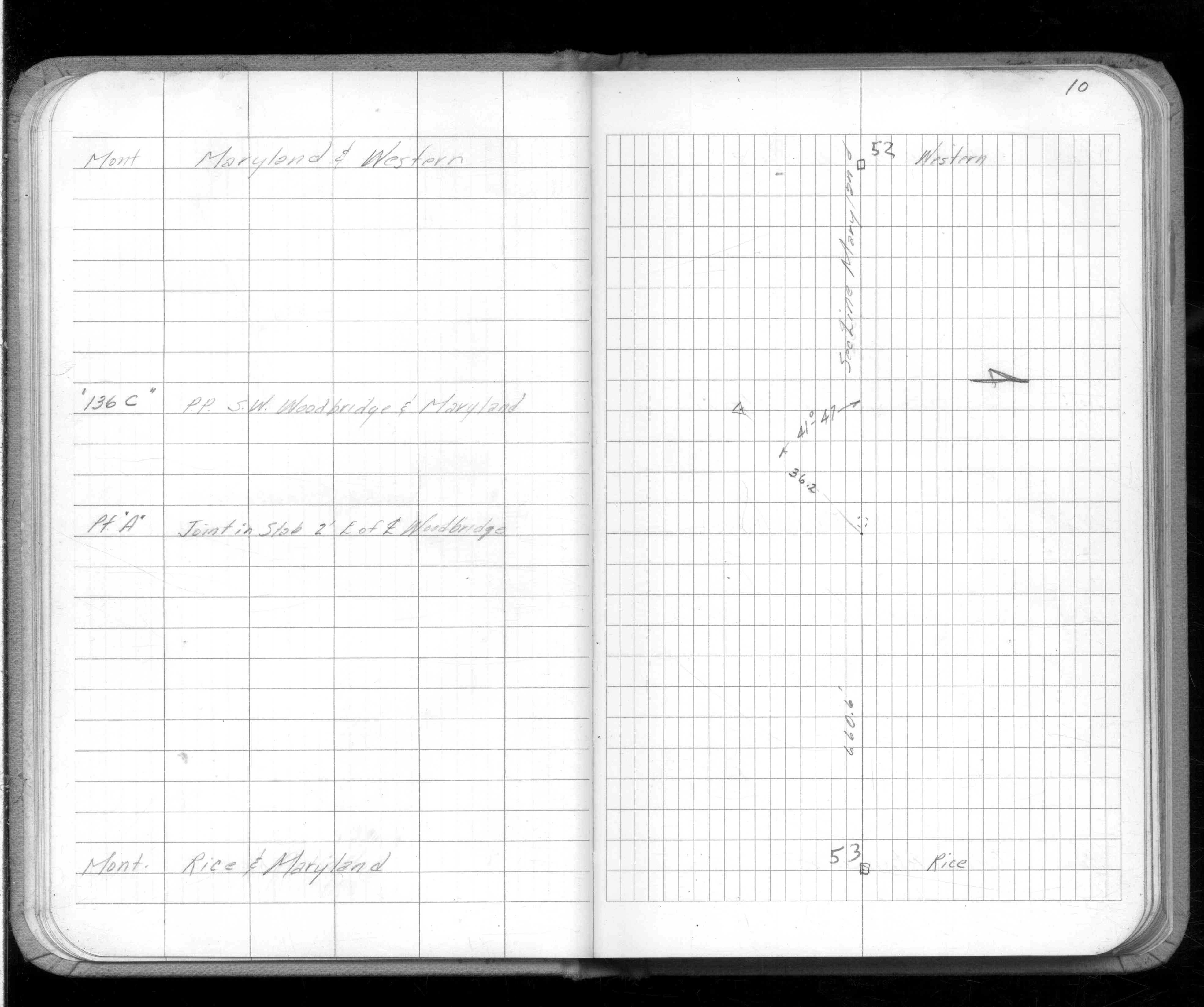
| FB 1736p.13 |
| FILE | SURVEYOR | LIC. NO. | DATE SIGNED | DATE TIED |
|---|---|---|---|---|
| 0053-0017A-C.pdf | Samuel D. Gibson | 44880 | August 31, 2012 | May 26, 2012 |
| 0053-0017A-B2.tif | Michael P. Murphy | 41001 | August 3, 2004 | July 31, 2004 |
| 0053-0017A-B1.tif | Michael P. Murphy | 41001 | August 3, 2004 | July 31, 2004 |
| 0053-0017A.tif | William J. Cutting | 20576 | August 5, 1991 | July 29, 1991 |
| ST_001-078p053.jpg | none | none | none | none |
| 0053-0017A.dwf | none | none | none | none |
| FILE | PHOTO DATE | COMMENTS |
|---|---|---|
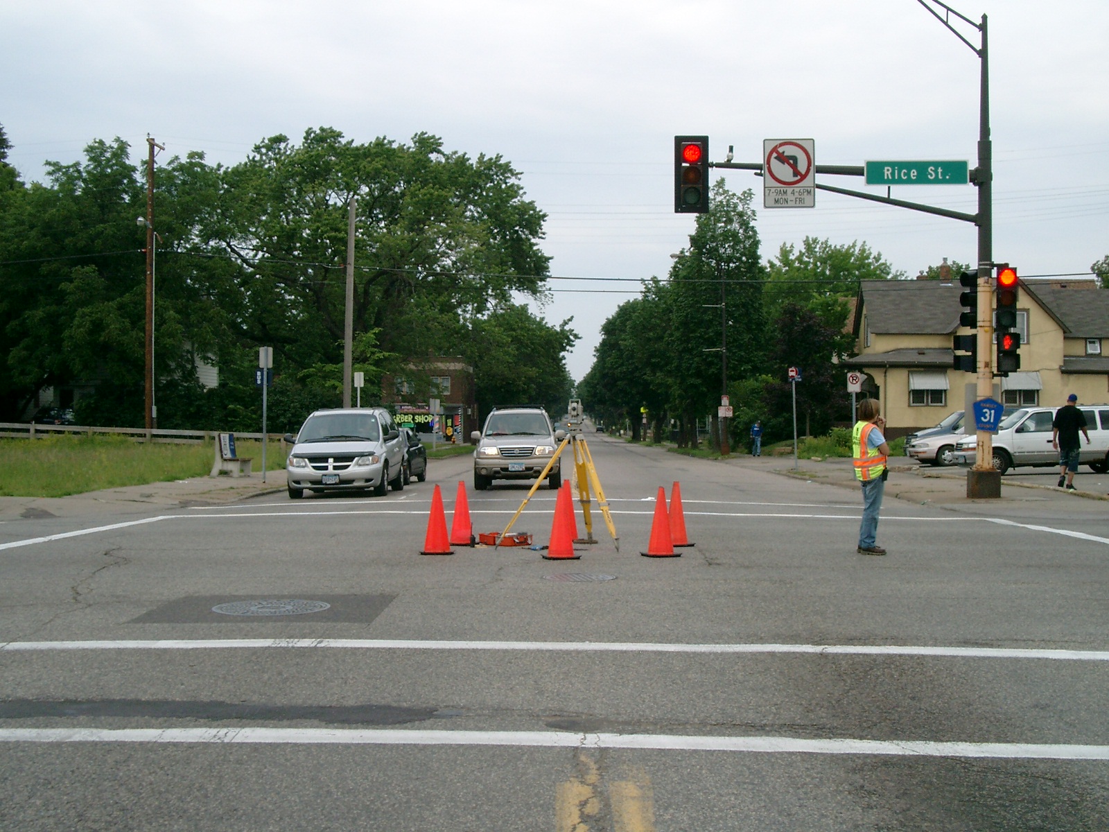
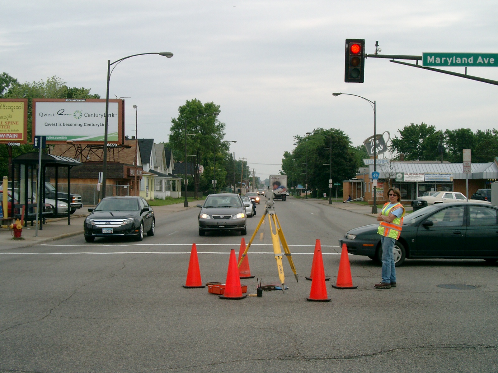
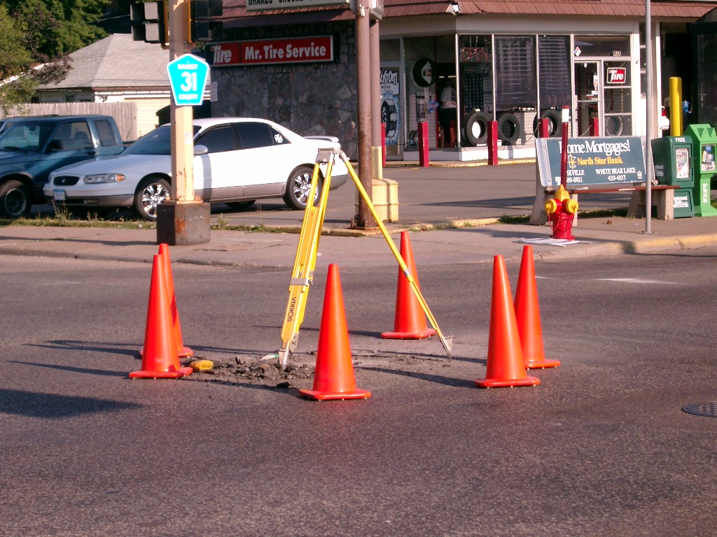
| 0053-0017A-26.jpg | June 1, 2012 | Looking west along Maryland Ave. |
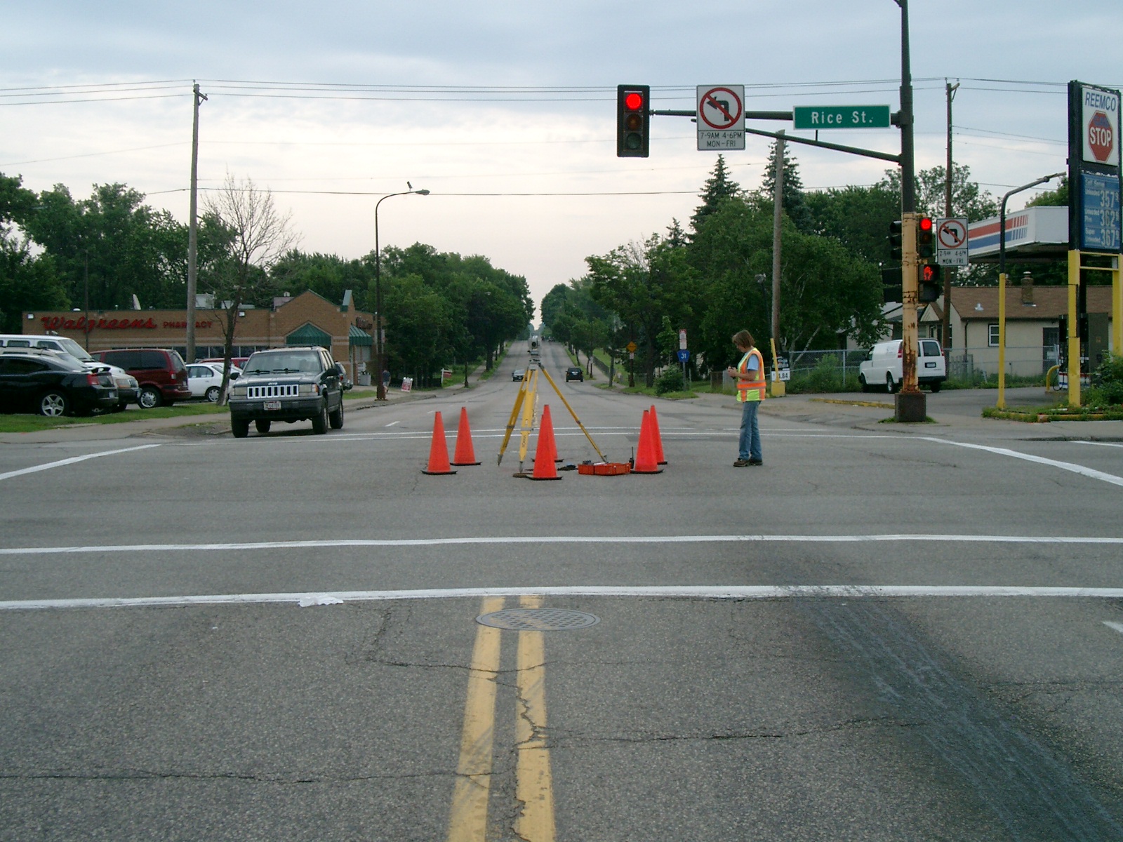
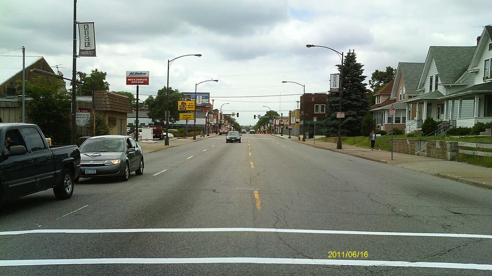
| 0053-0017A-25.jpg | June 1, 2012 | Looking south along Rice St. |
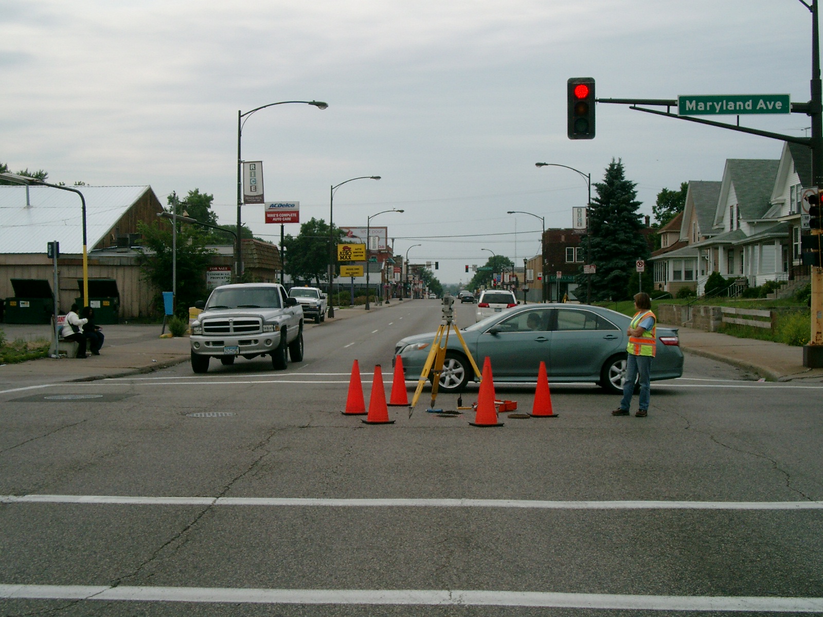
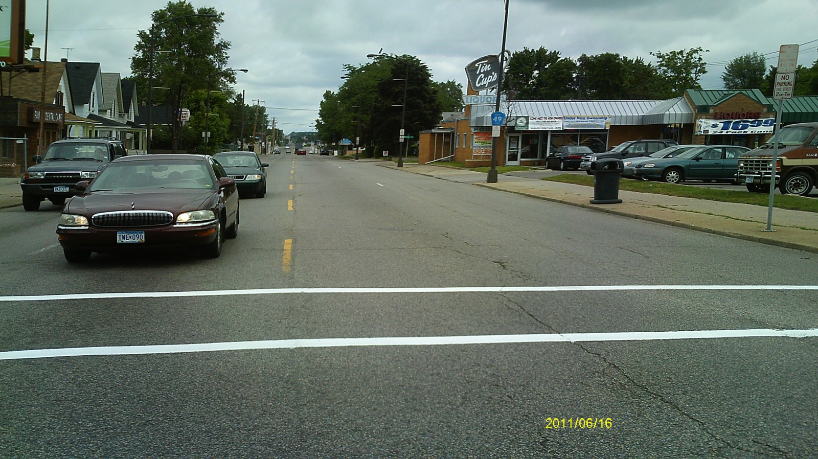
| 0053-0017A-24.jpg | June 1, 2012 | Looking east along Maryland Ave. |
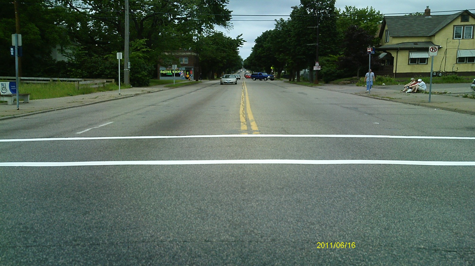
| 0053-0017A-23.jpg | June 1, 2012 | Looking north along Rice St. |
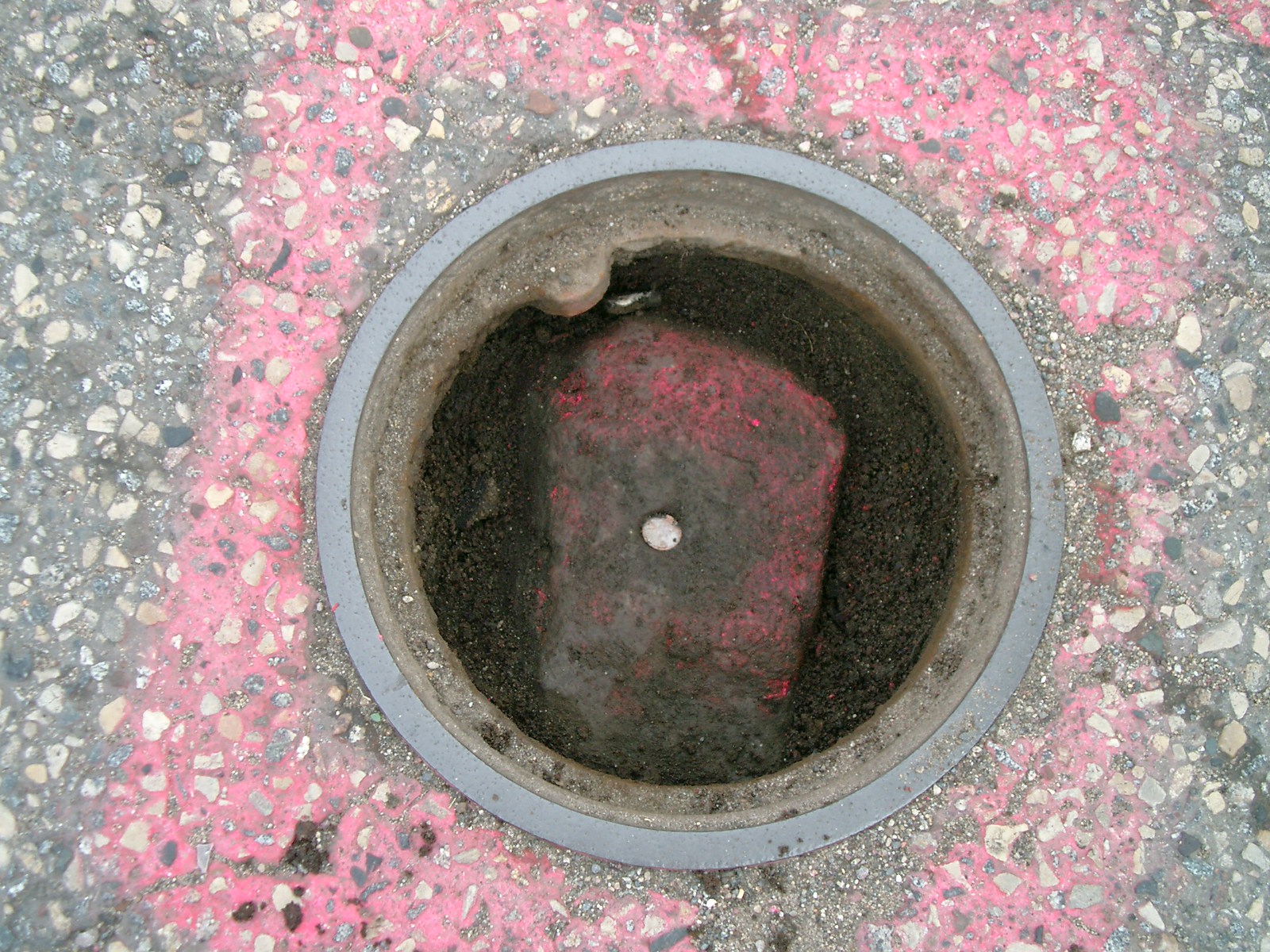
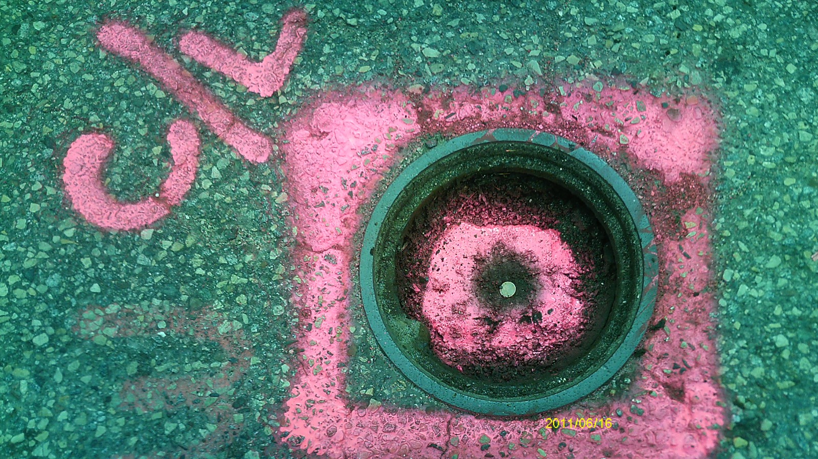
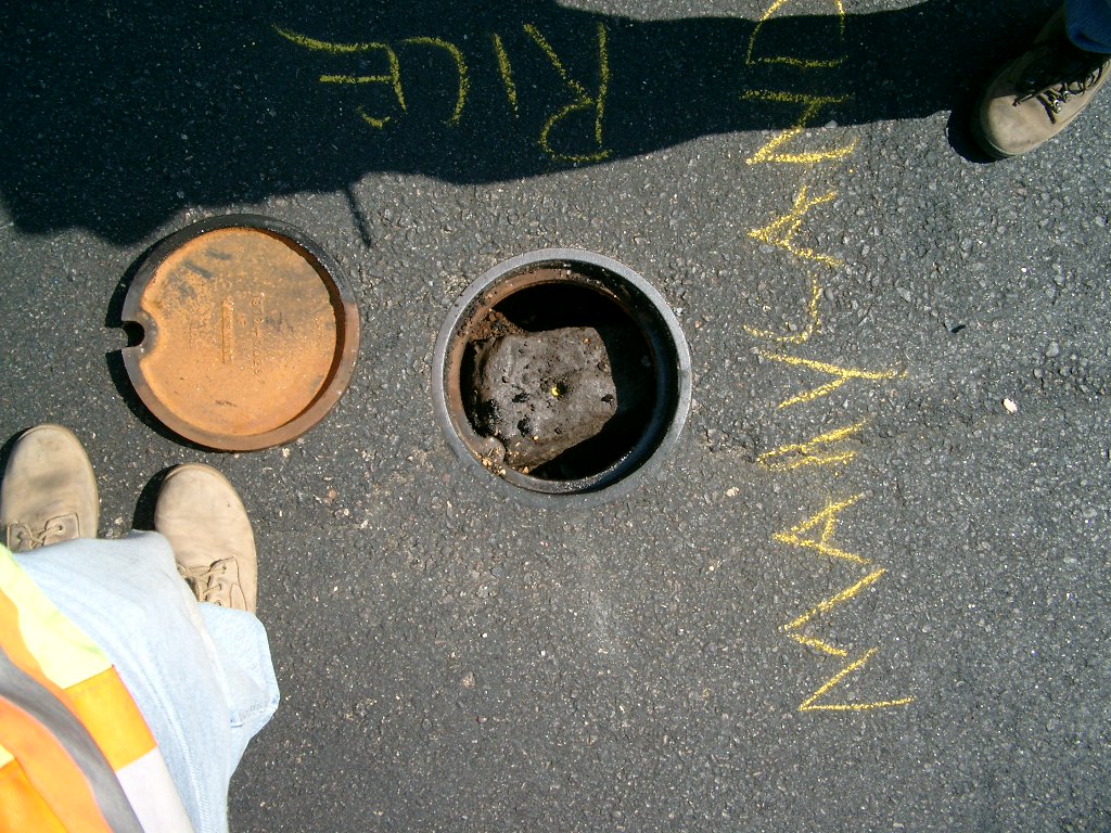
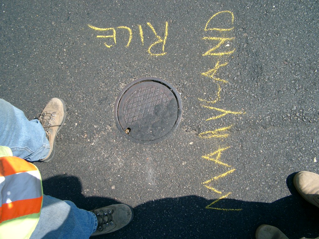
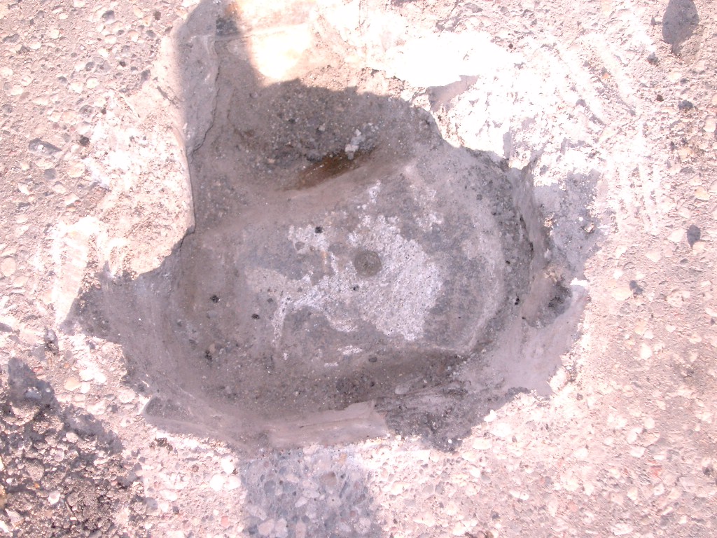
| 0053-0017A-22.jpg | June 1, 2012 | Close up of monument under casting. |
| 0053-0017A-21.jpg | May 26, 2012 | Close up of monument as set. |
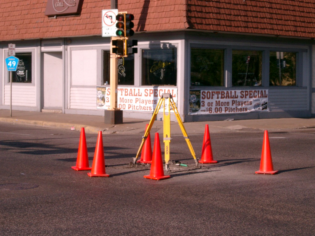
| 0053-0017A-20.jpg | June 27, 2011 | Looking west along Maryland Ave. |
| 0053-0017A-19.jpg | June 27, 2011 | Looking south along Rice St. |
| 0053-0017A-18.jpg | June 27, 2011 | Looking east along Maryland Ave. |
| 0053-0017A-17.jpg | June 27, 2011 | Looking north along Rice St. |
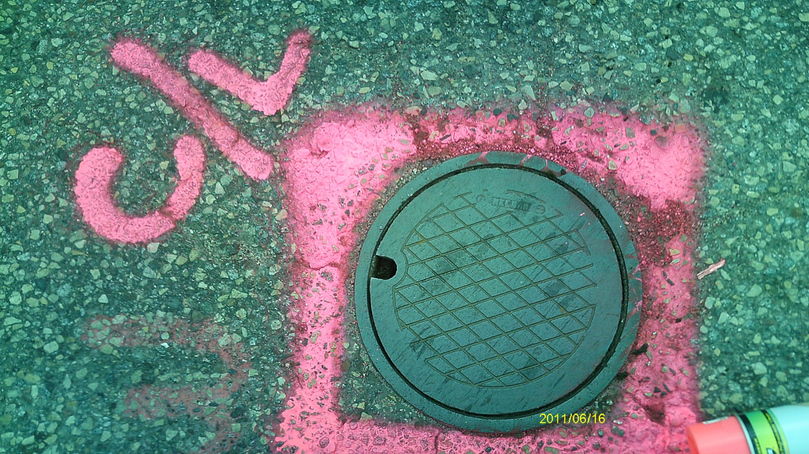
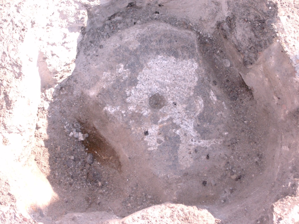
| 0053-0017A-16.jpg | June 27, 2011 | Close up of monument. |
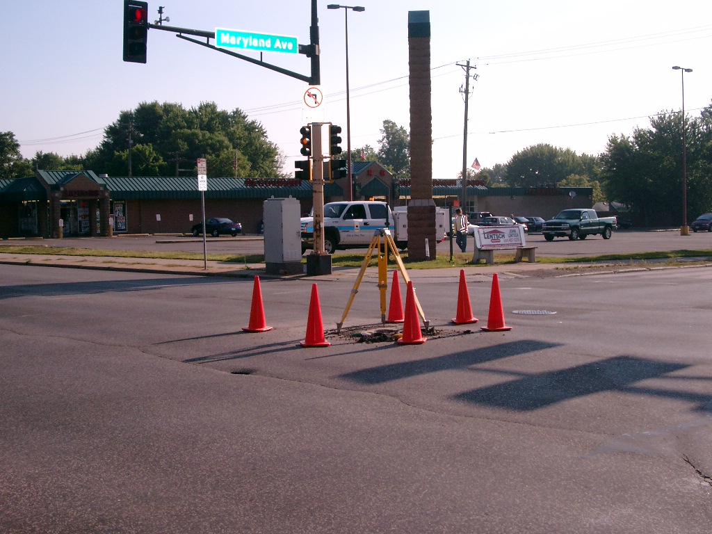
| 0053-0017A-15.jpg | June 17, 2011 | Looking west along Maryland Ave. |
| 0053-0017A-14.jpg | June 17, 2011 | Looking south along Rice St. |
| 0053-0017A-13.jpg | June 17, 2011 | Looking east along Maryland Ave. |
| 0053-0017A-12.jpg | June 17, 2011 | Looking north along Rice St. |
| 0053-0017A-11.jpg | June 17, 2011 | Close up of monument. |
| 0053-0017A-10.jpg | June 17, 2011 | Close up of monument cover. |
| 0053-0017A-9.jpg | September 3, 2004 | Close-up of Monument. |
| 0053-0017A-8.jpg | September 3, 2004 | Close-up of Monument. |
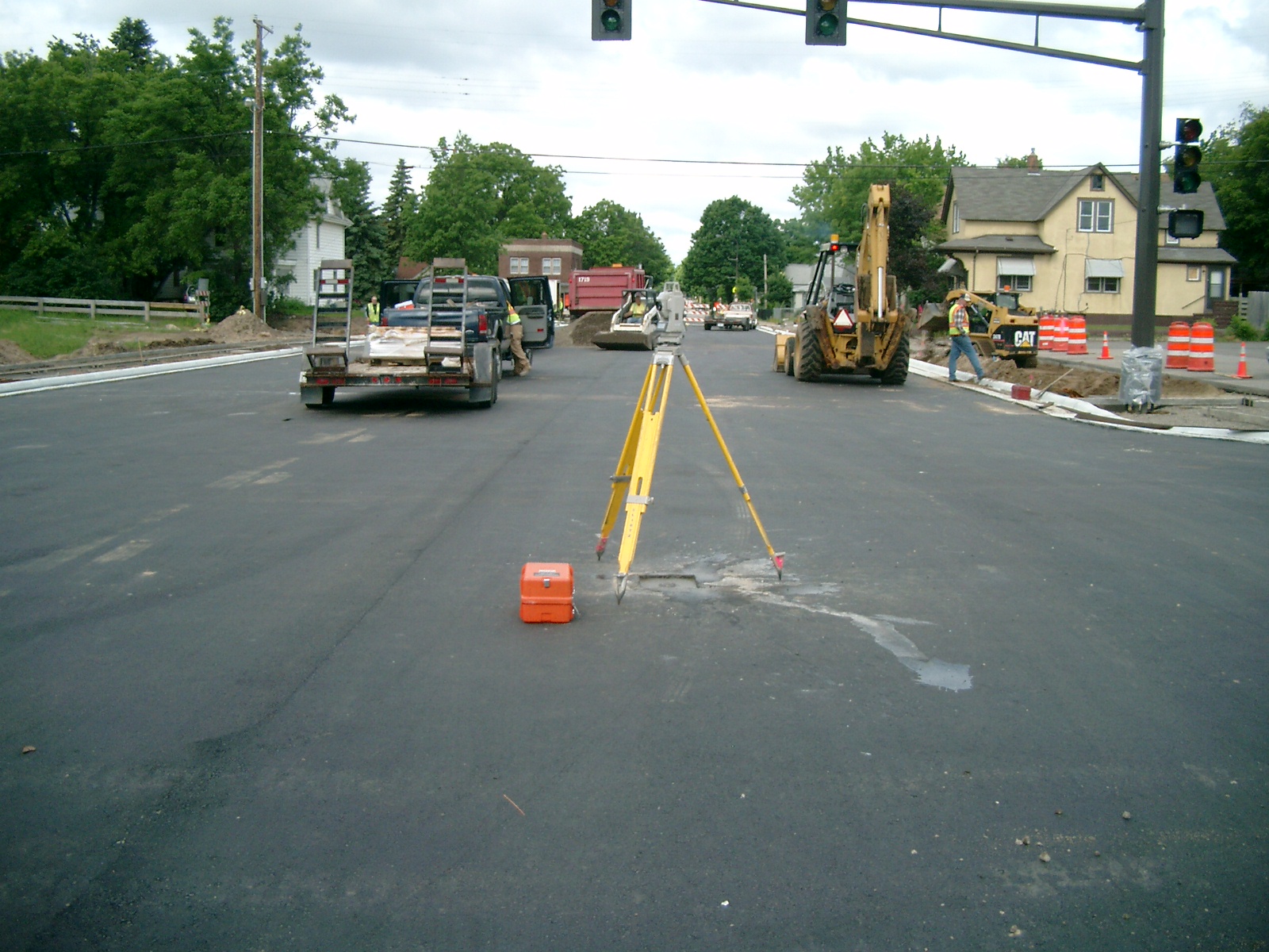
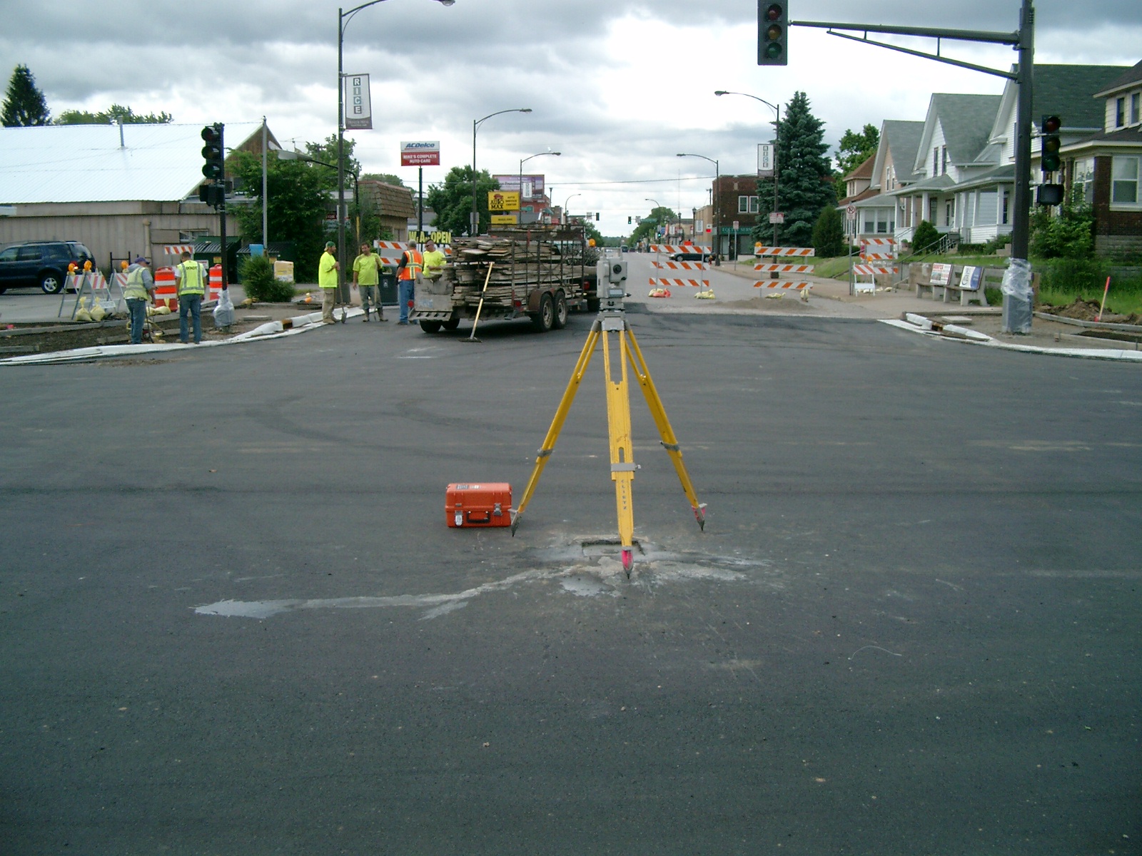
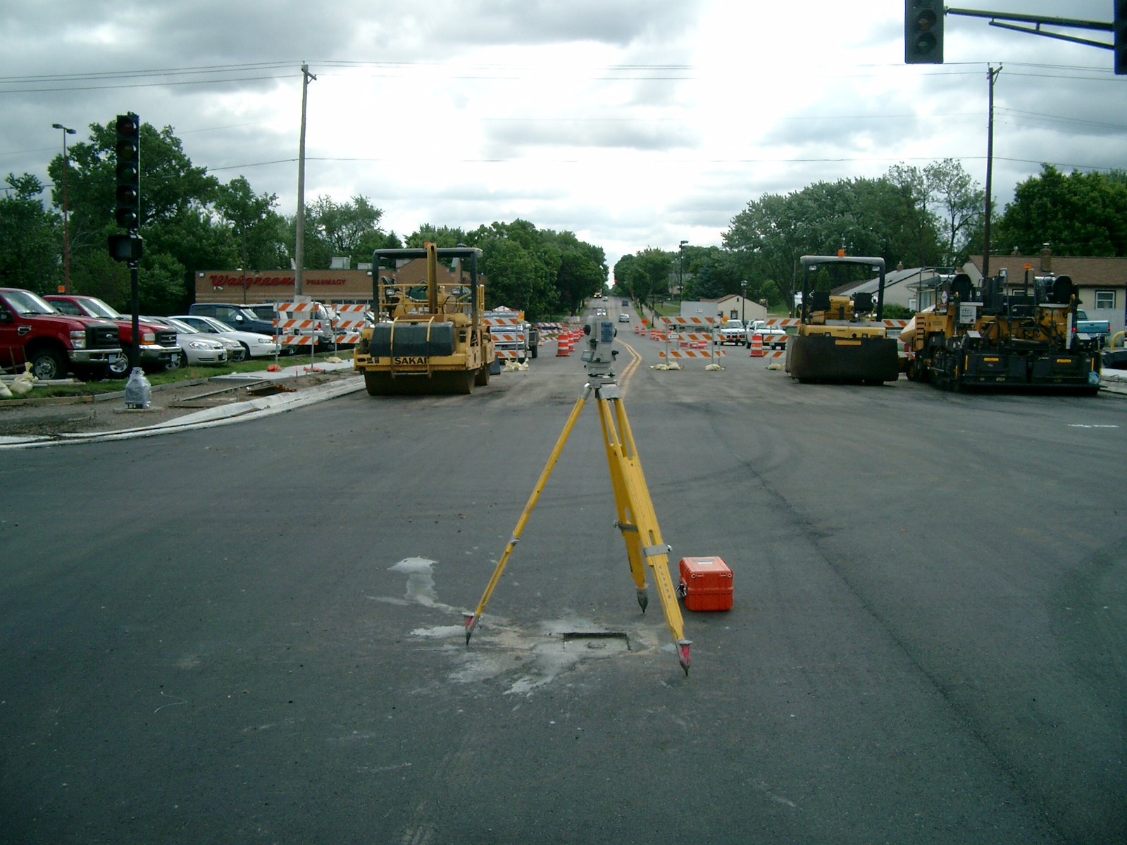
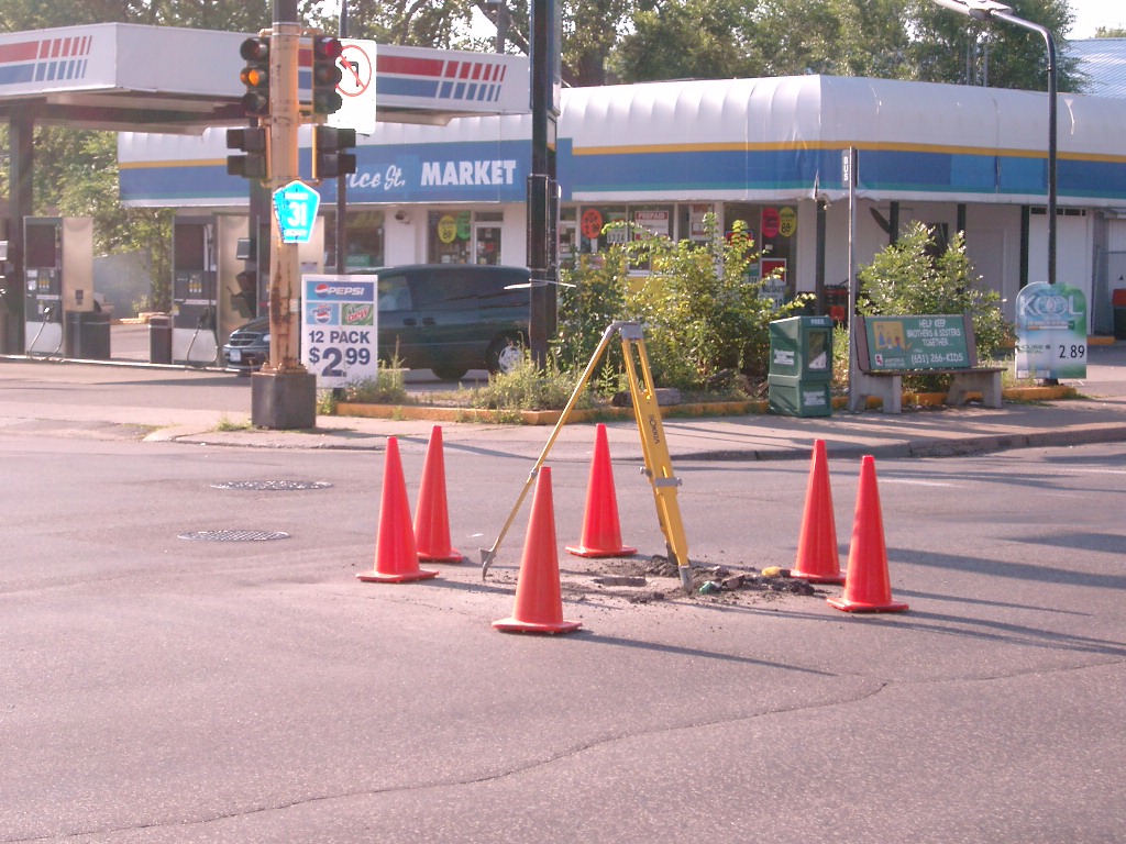
| 0053-0017A-7.jpg | July 31, 2004 | Looking Northwesterly. |
| 0053-0017A-6.jpg | July 31, 2004 | Looking Southwesterly. |
| 0053-0017A-5.jpg | July 31, 2004 | Looking Southeasterly. |
| 0053-0017A-4.jpg | July 31, 2004 | Looking Northeasterly. |
| 0053-0017A-3.jpg | July 31, 2004 | Close-up of Monument. |
| 0053-0017A-2.jpg | July 31, 2004 | Close-up of Monument. |