| NAD83 COORDINATES (1986 adj.): |
|---|
| * X= 587382.07 Y= 168159.99 Z= 0 LSQ 12/6/1991 S FIX |
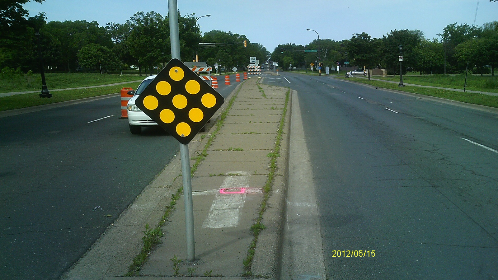
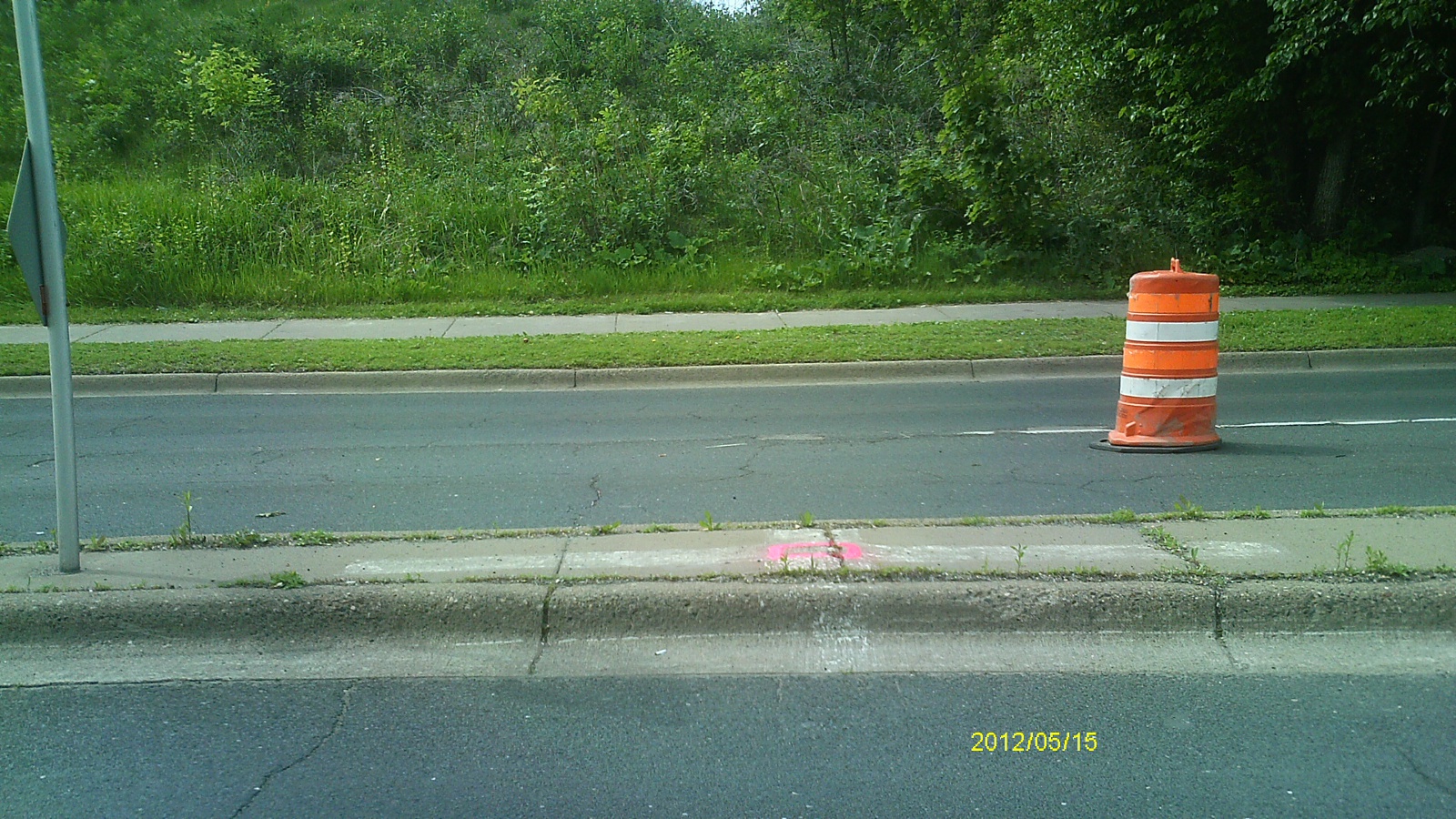
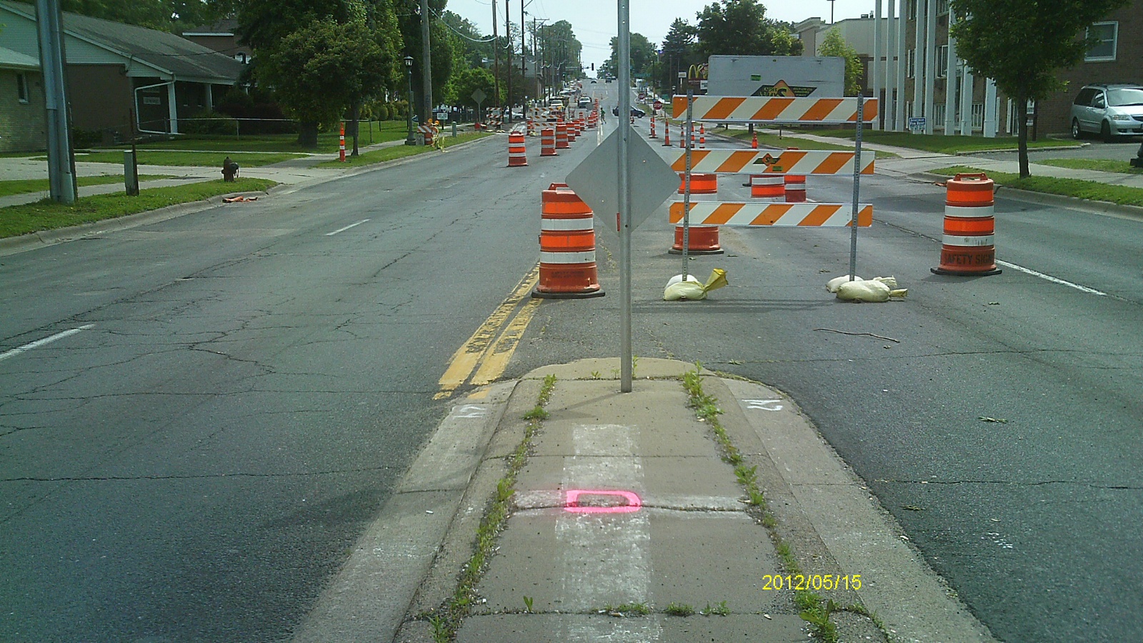
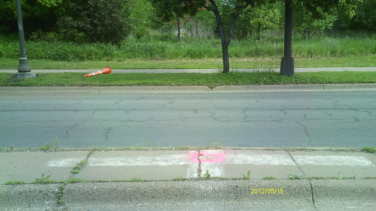
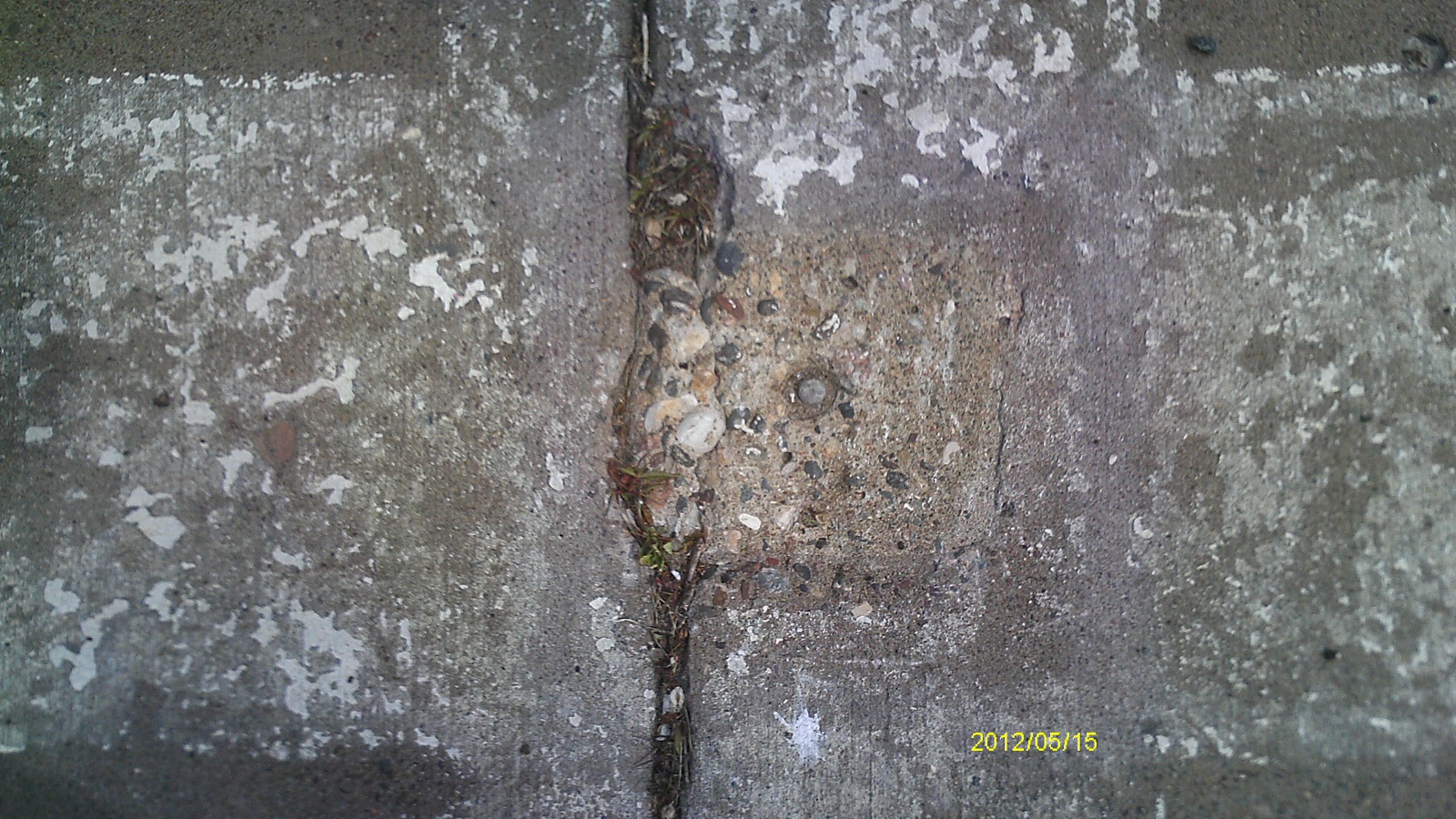
| 5/15/2012 | Found concrete monument at grade of center island. Photos taken. |
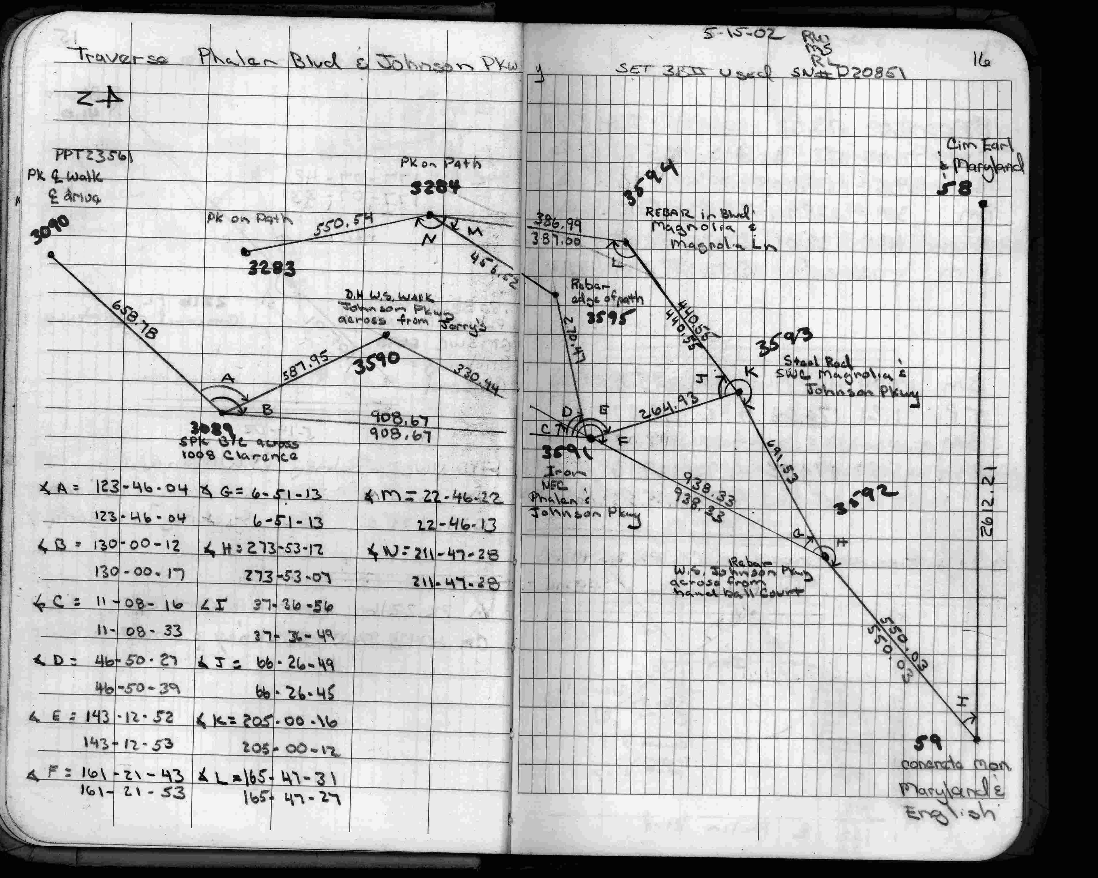
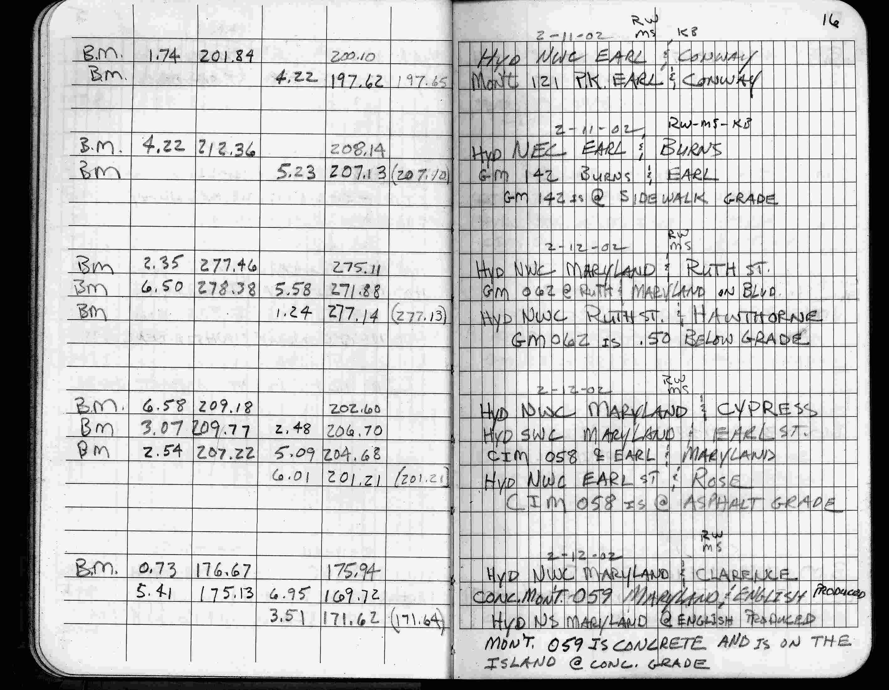
| 2/12/2002 | Elev 169.72 ft on concrete monument at grade of center island. See FB 1736 p.16 |
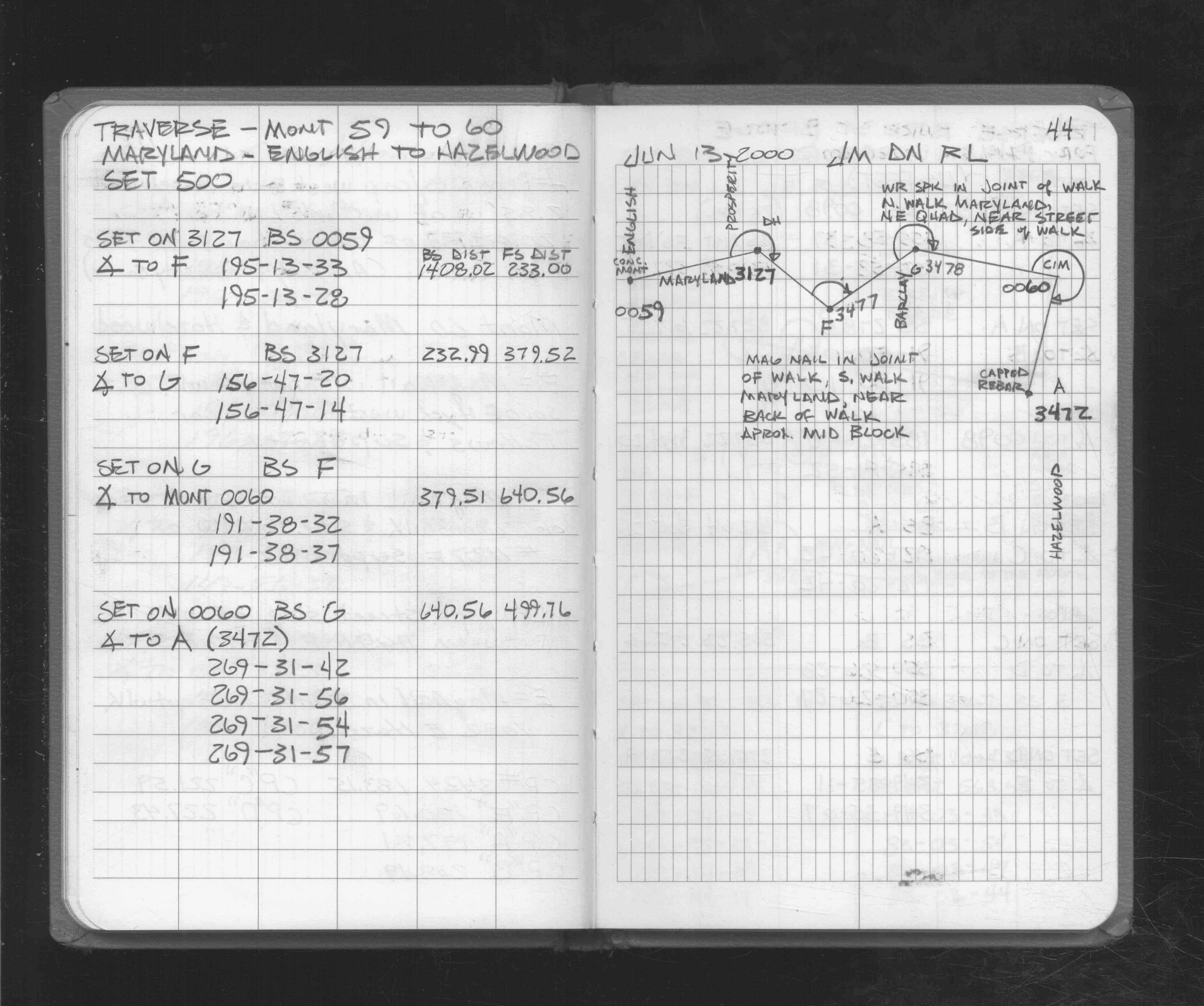
| 6/13/2000 | Used concrete monument for traverse control. See FB 1721 p.44 |
| 3/17/2000 | Fd concrete monument at grade (marked for painting target for 2000 aerial) |
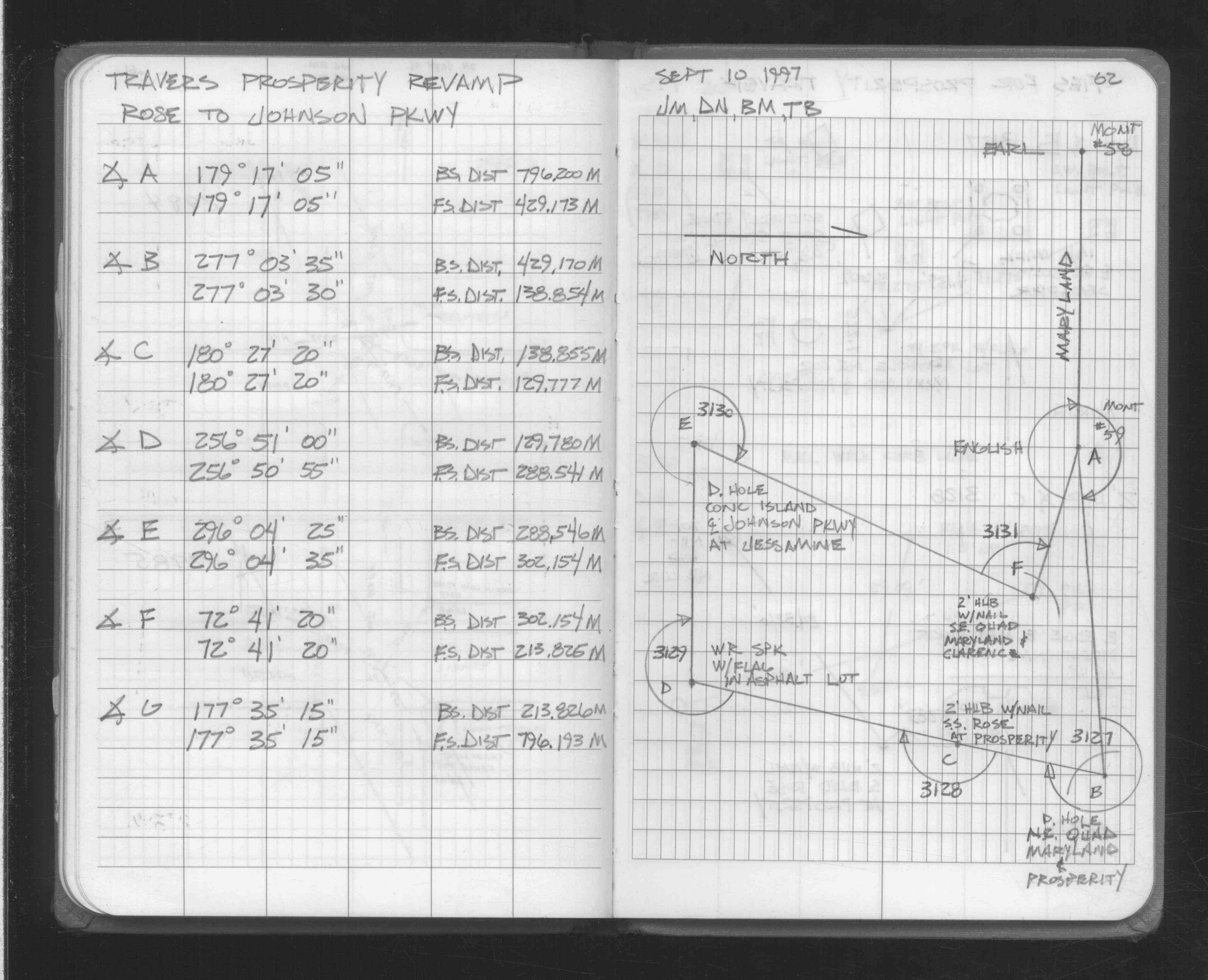
| 4/14/1997 | Used concrete monument for traverse control. See FB 1549L p.25 |
| 3/26/1997 | Elev 169.76 ft on Concrete. See acorddat/1997/p1157/p1157.sdr Digital-Unadj |
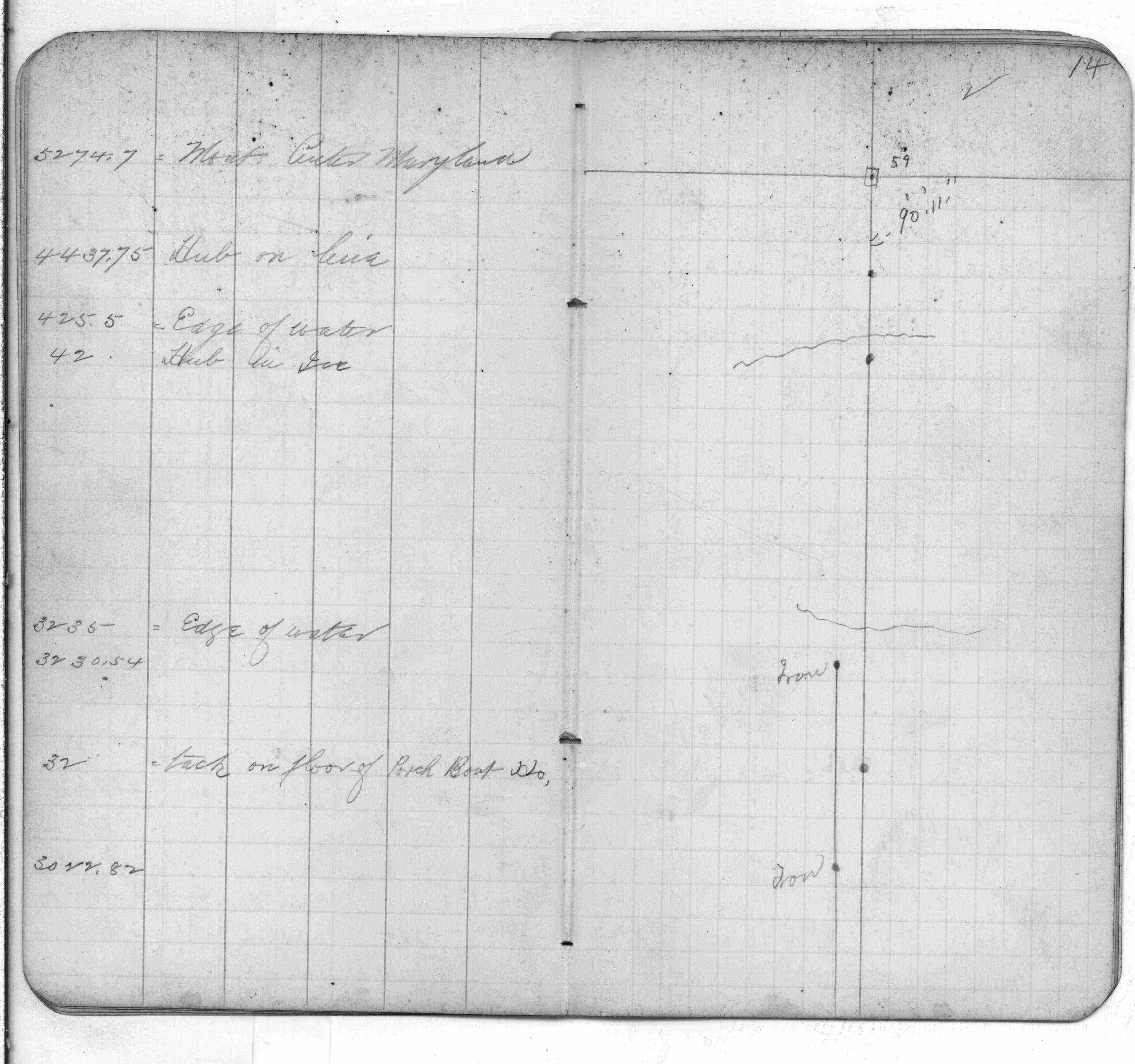
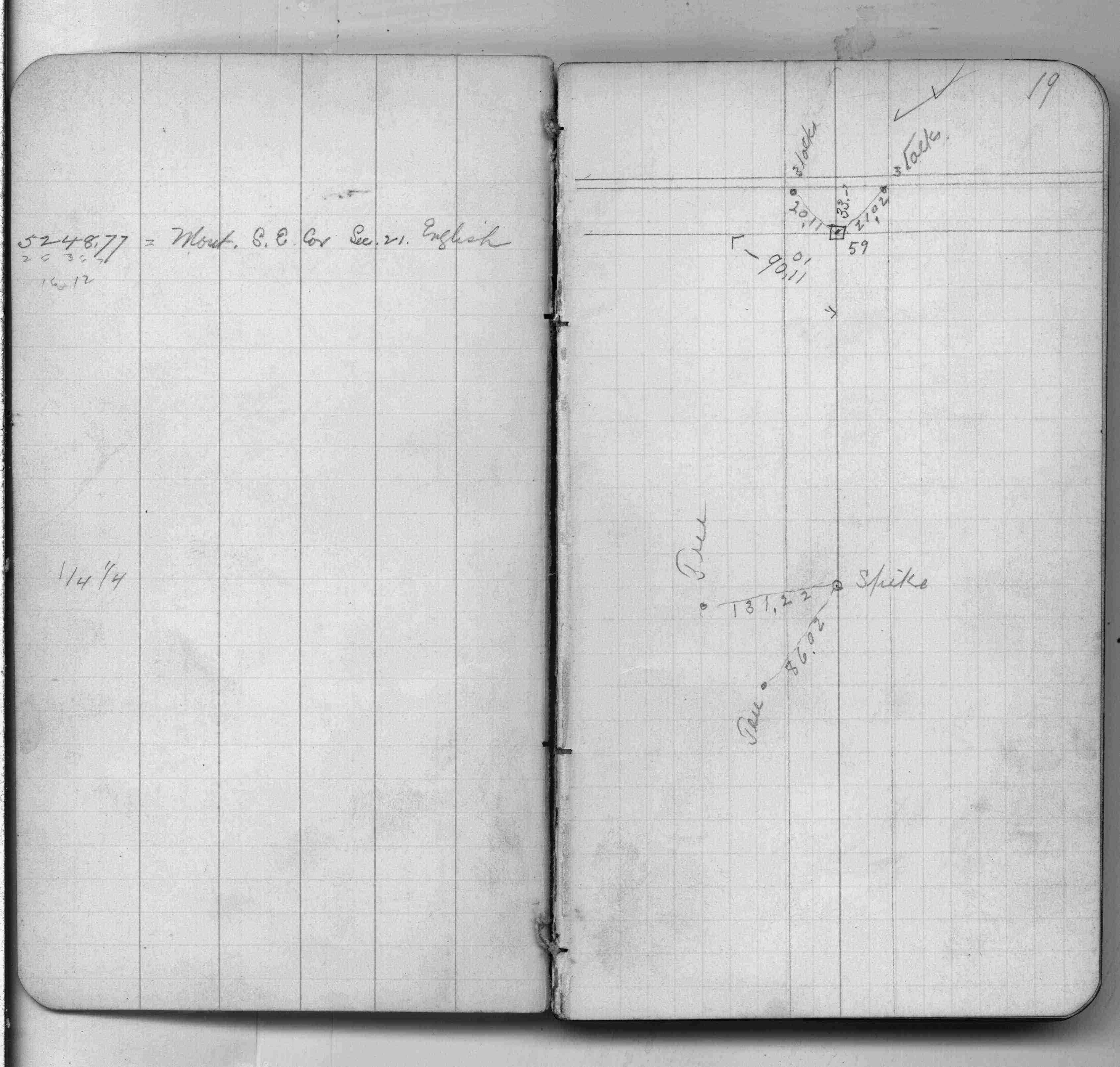
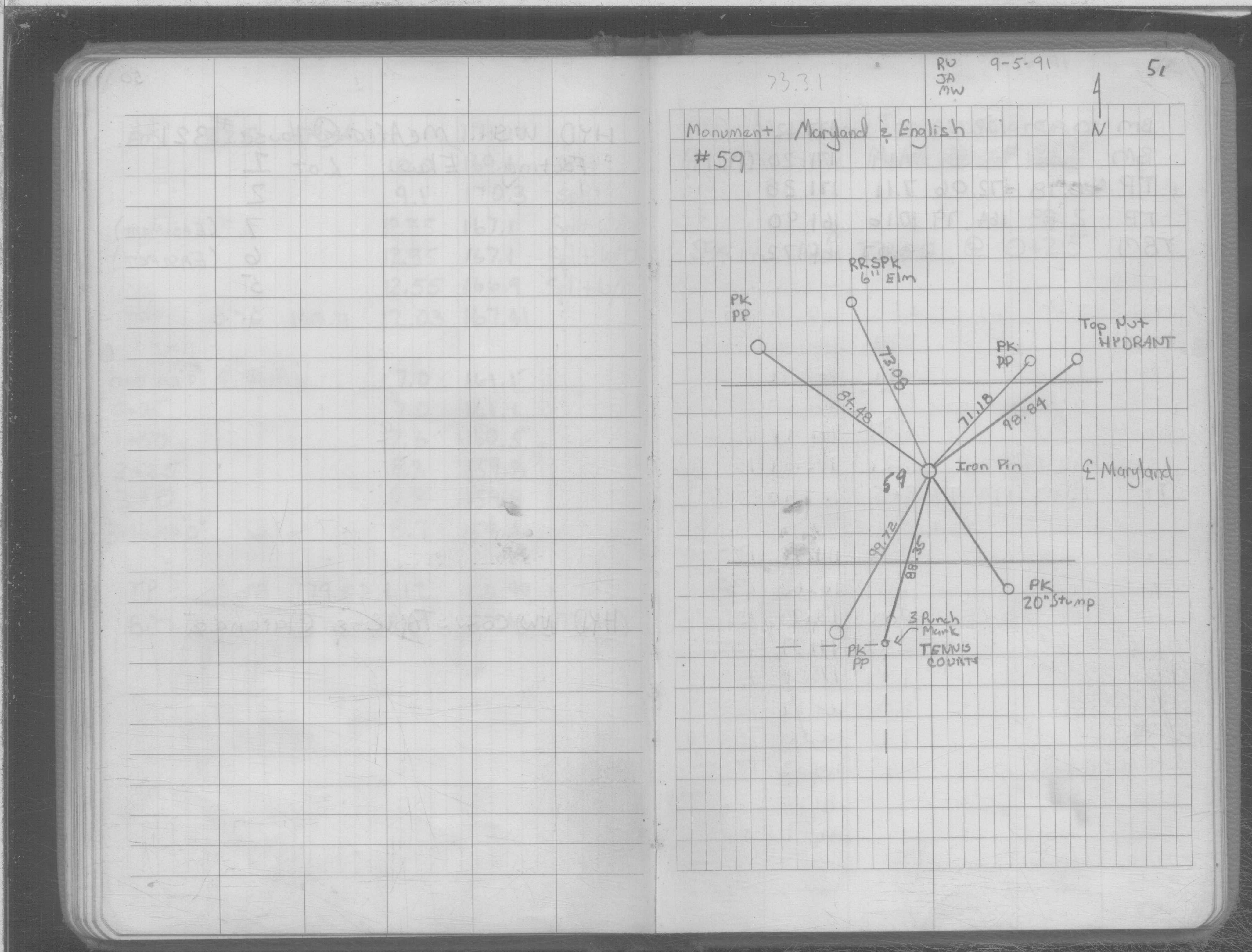
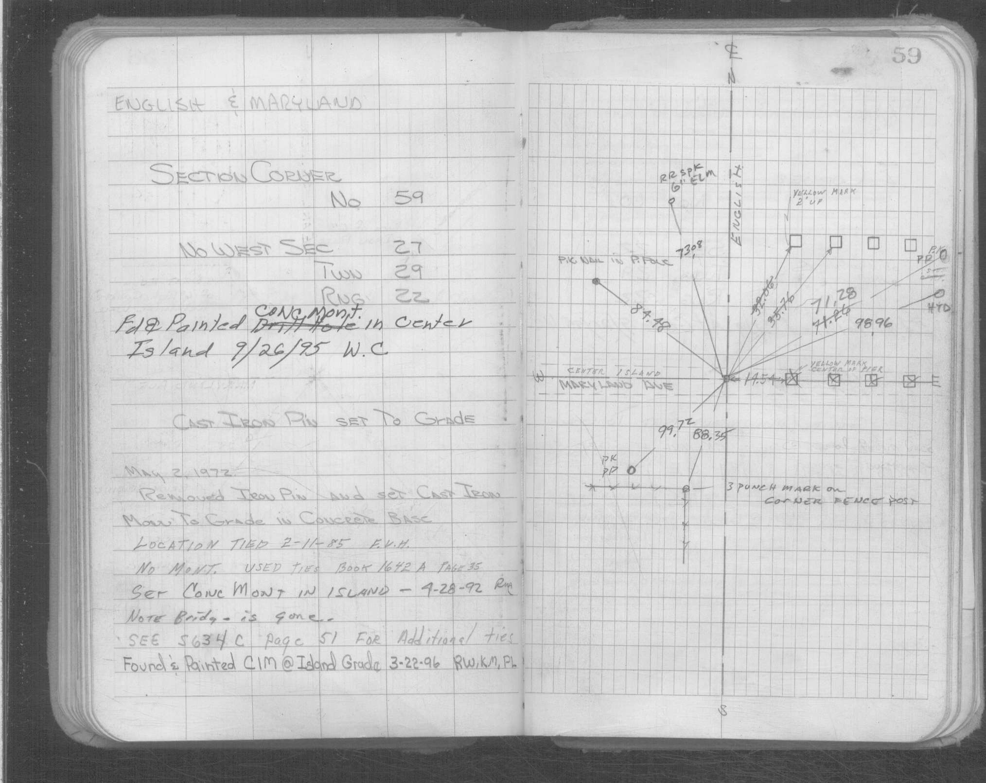
| 4/29/1992 | Set Concrete Monument using ties in SB 634C p.51 & retied. See CofL 0059-0029-A |
| 9/5/1991 | Placed ties on iron pin. See SB 634C p.51 |
| 3/1/1986 | (Unknown date Mar __, 1986 ) The plat of BAUMAN ADDITION is shows a GM inplace (most likely concrete) |
| 1/1/1985 | (Unknown date ___ __,1985 ) Historic, one time only GPS survey = S168 |
| 4/1/1982 | (Unknown date Apr __, 1982 ) Elev 170.04 ft on CLCL. See FB 1421A p.27 |
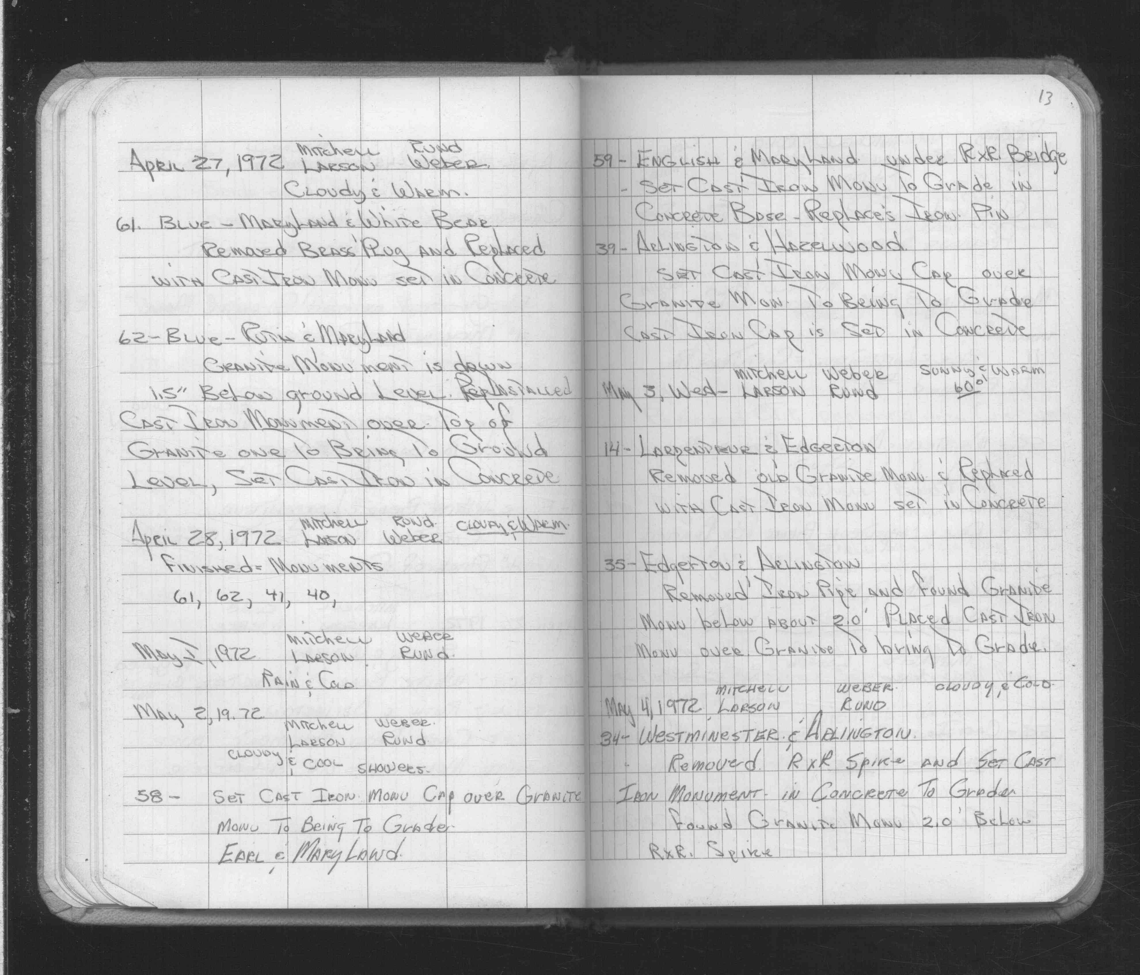
| 5/2/1972 | Replaced iron pin with CIM, under RR bridge. See FB 1689A p.13 |
| 11/1/1847 | (Unknown date Nov __, 1847 ) Isaac N Higbee deputy surveyor set post. Tied to 2 BTs. See IH p.188-189 2922 |
| 1/1/1800 | (Unknown date ___ __, 18?? ) Elev 168.524 ft on GM. See Old Benches Book, Entry 1374 |
| 1/1/1800 | (Unknown date ___ __, ____ ) Iron in center island. |
Above is NOT an all inclusive history of this point. Please review all the links below.
| PLS NOTES | Field | Cross Section | Sewer | J.B. Irvine | Monument | River Survey |
|---|---|---|---|---|---|---|
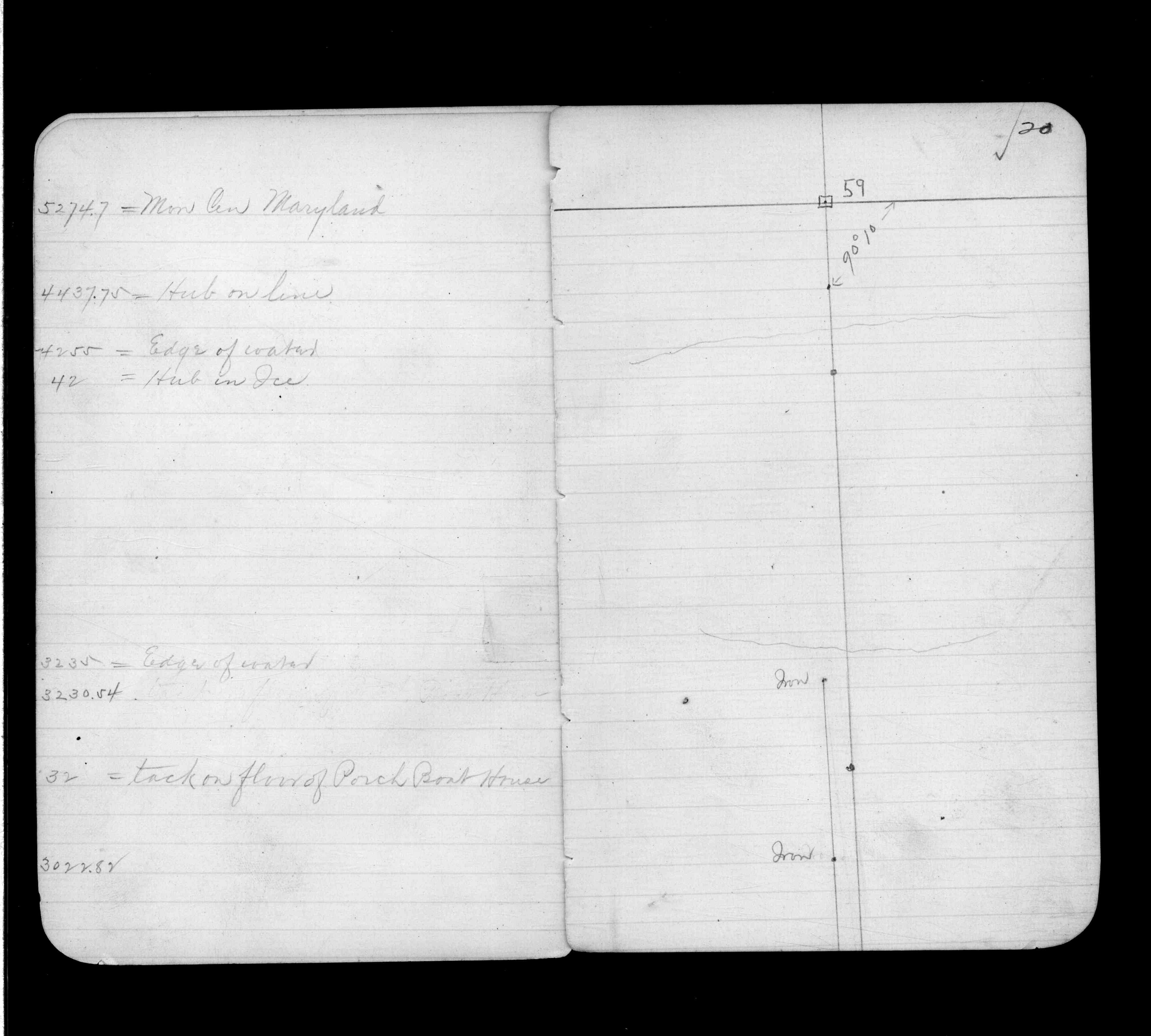
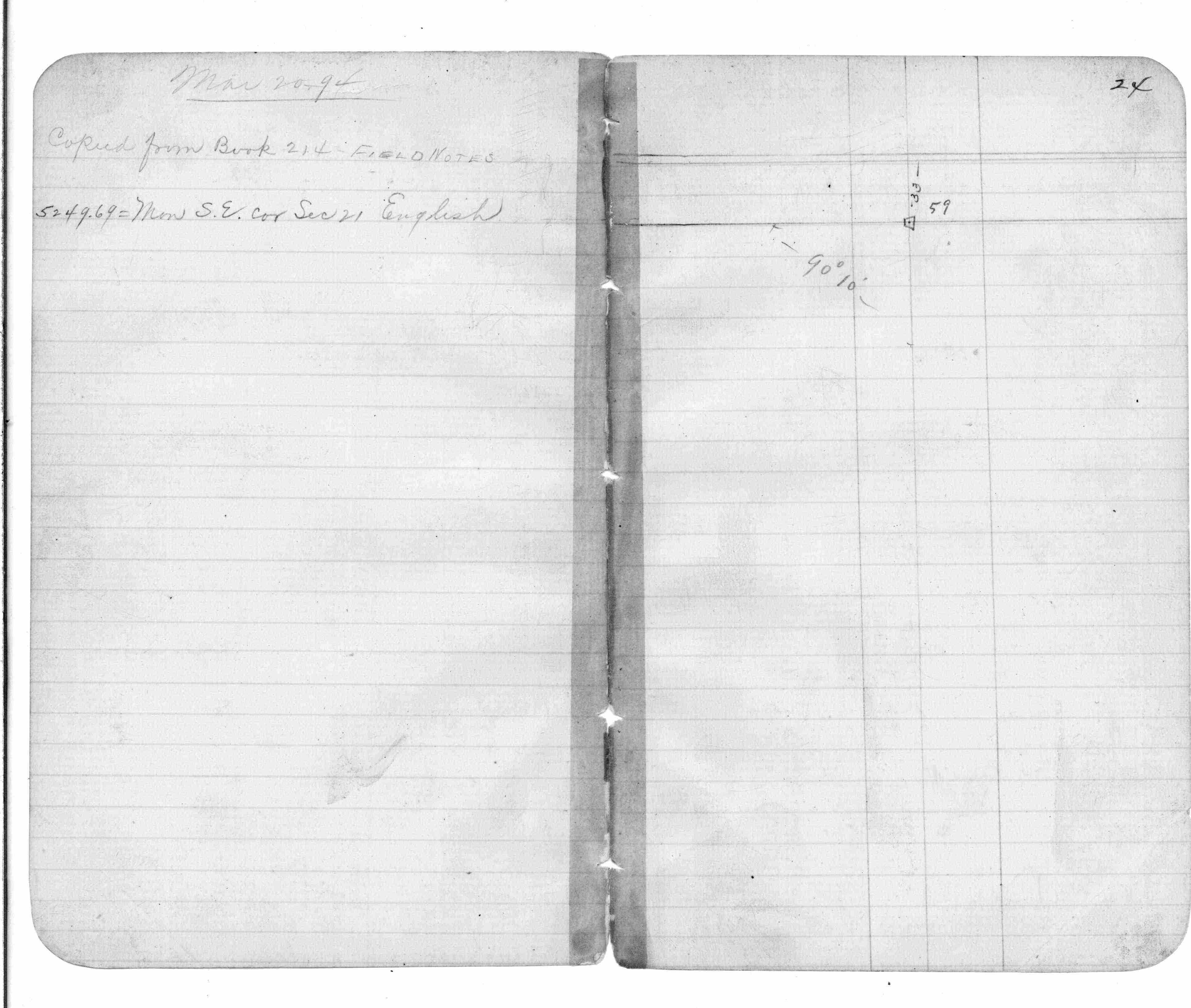
| IH p.188-189 | FB 0214p. 14 ,19 | SB 0634Cp.51 | ||||
| FB 0298CPYp. 03 ,31 | ||||||
| FB 0312CPYp. 44 ,60 | ||||||
| FB 0375.5p.15 | ||||||
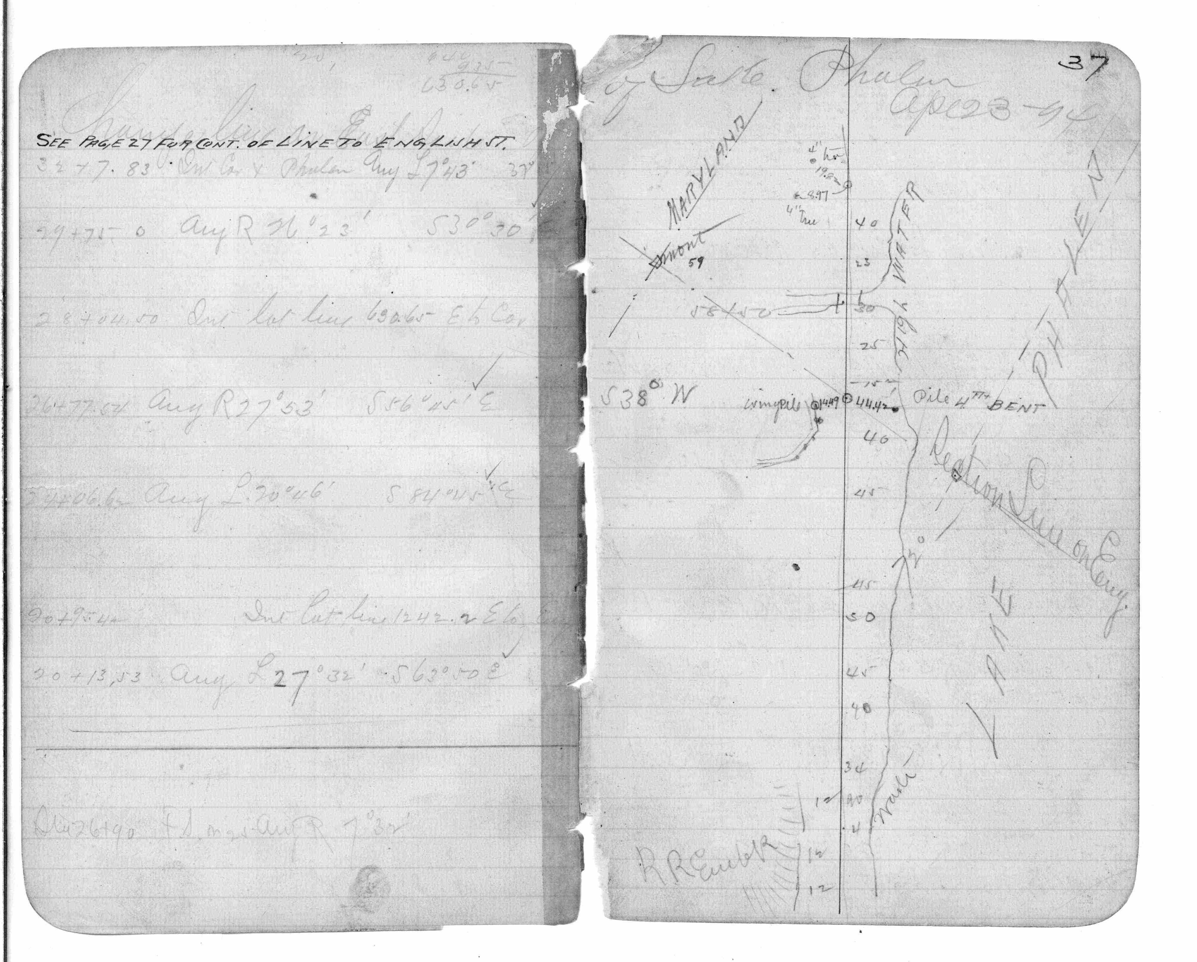
| FB 0376.5p. 20 ,24 ,37 | ||||||
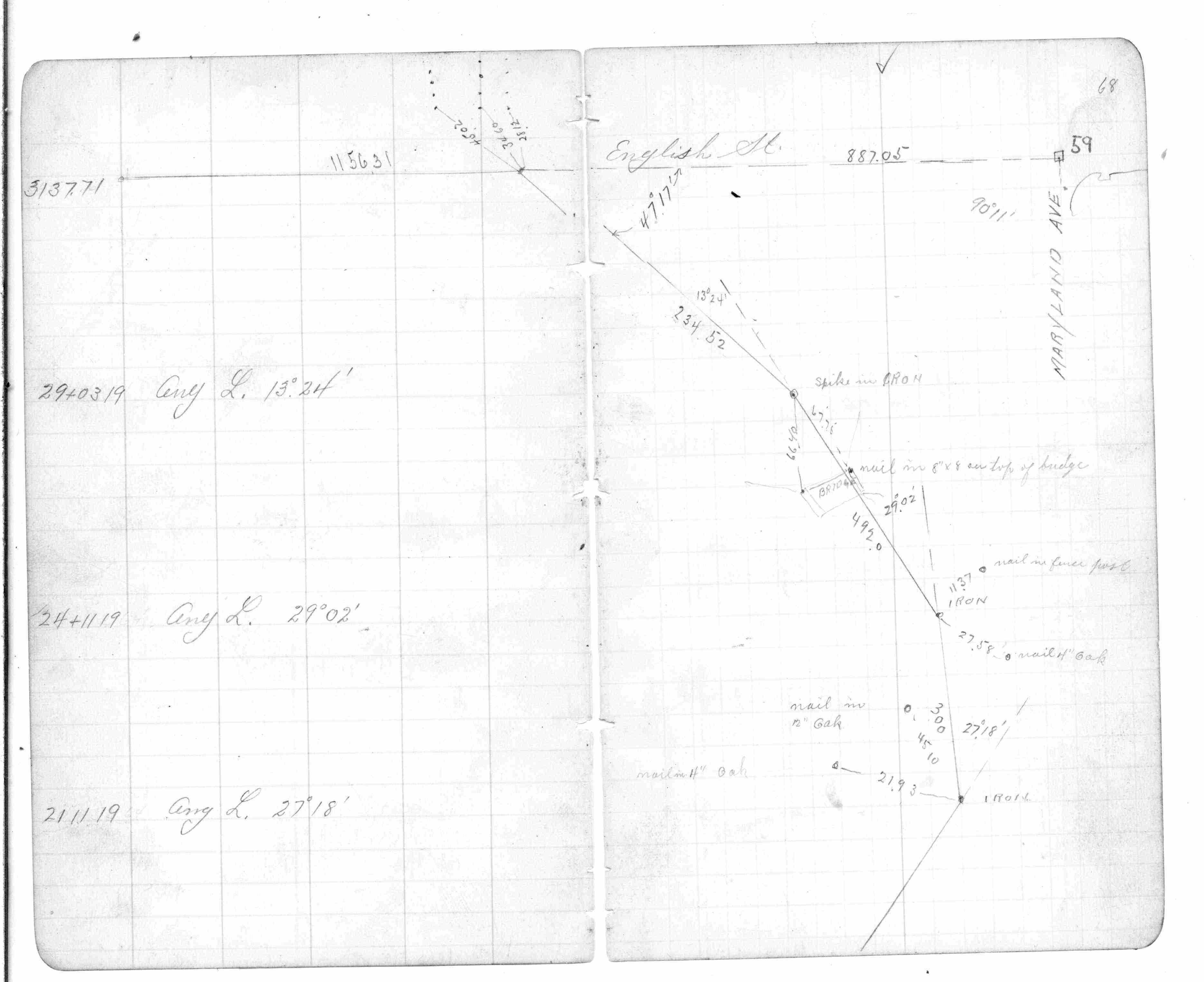
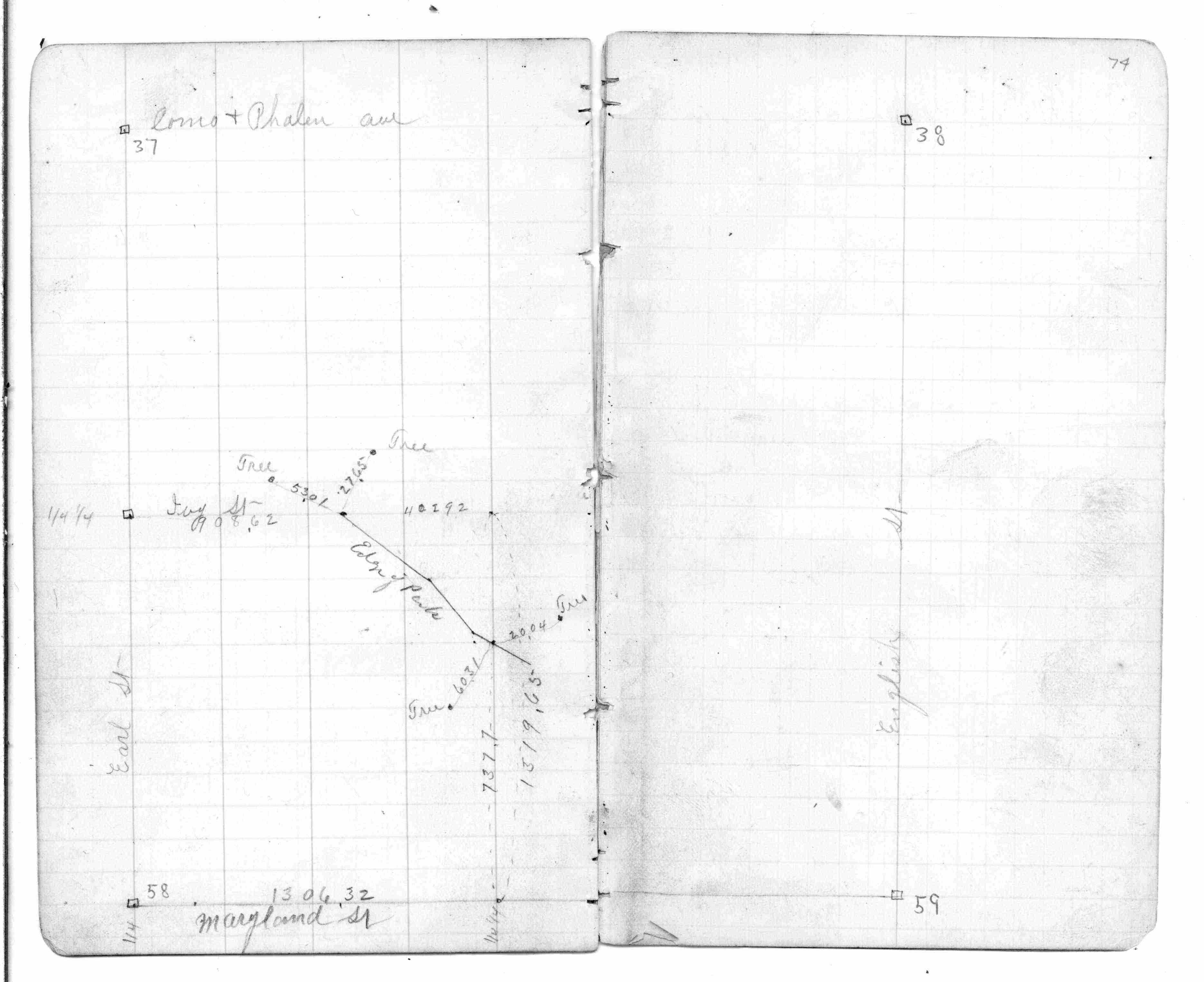
| FB 0440p. 68 ,74 | ||||||
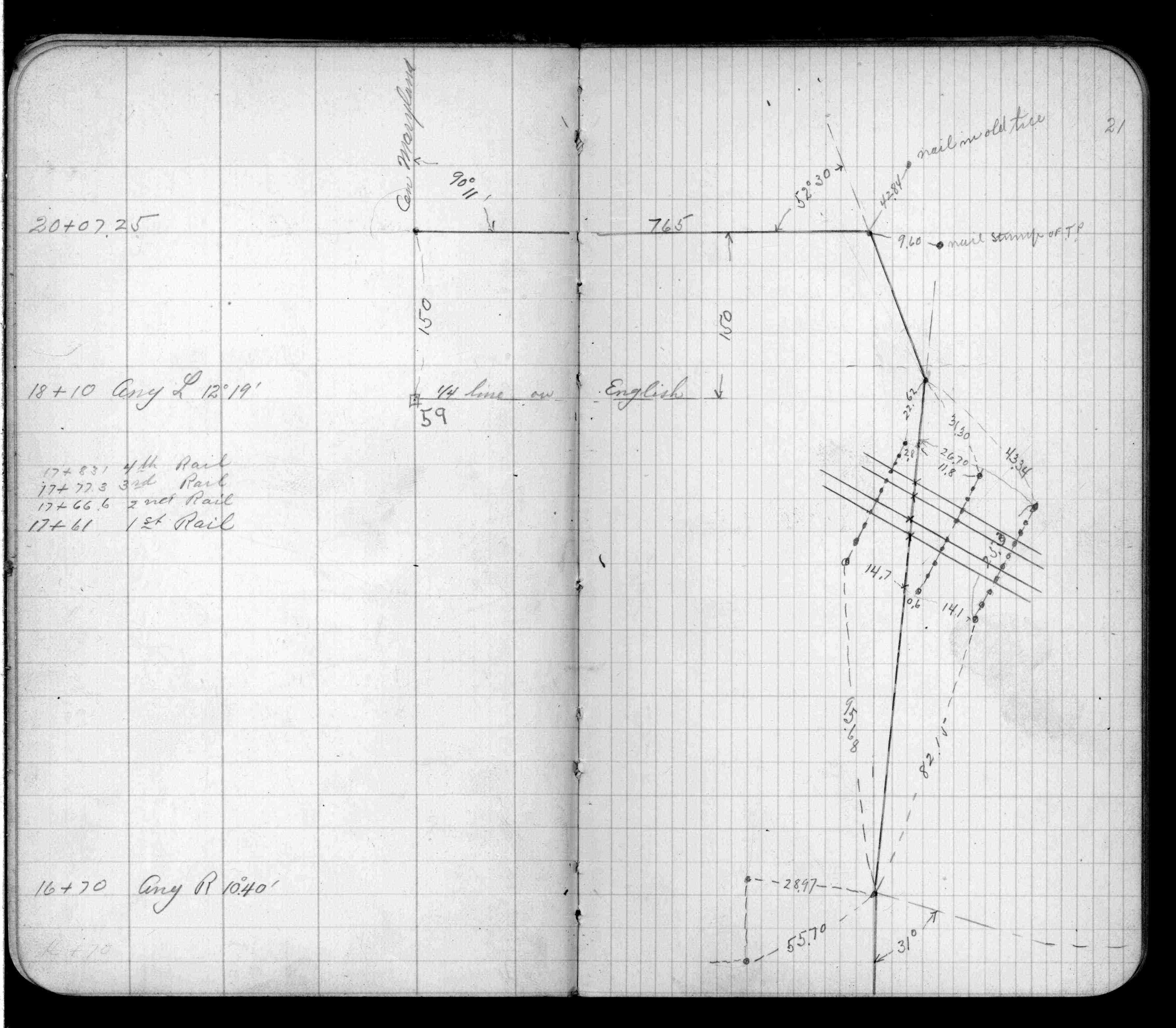
| FB 0645p. 12 ,21 | ||||||
| FB 0725p.03 | ||||||
| FB 0750p. 24 ,25 | ||||||
| FB 0819p. 33 ,34 ,40 ,41 | ||||||
| FB 1067p.35 | ||||||
| FB 1297p.43 | ||||||
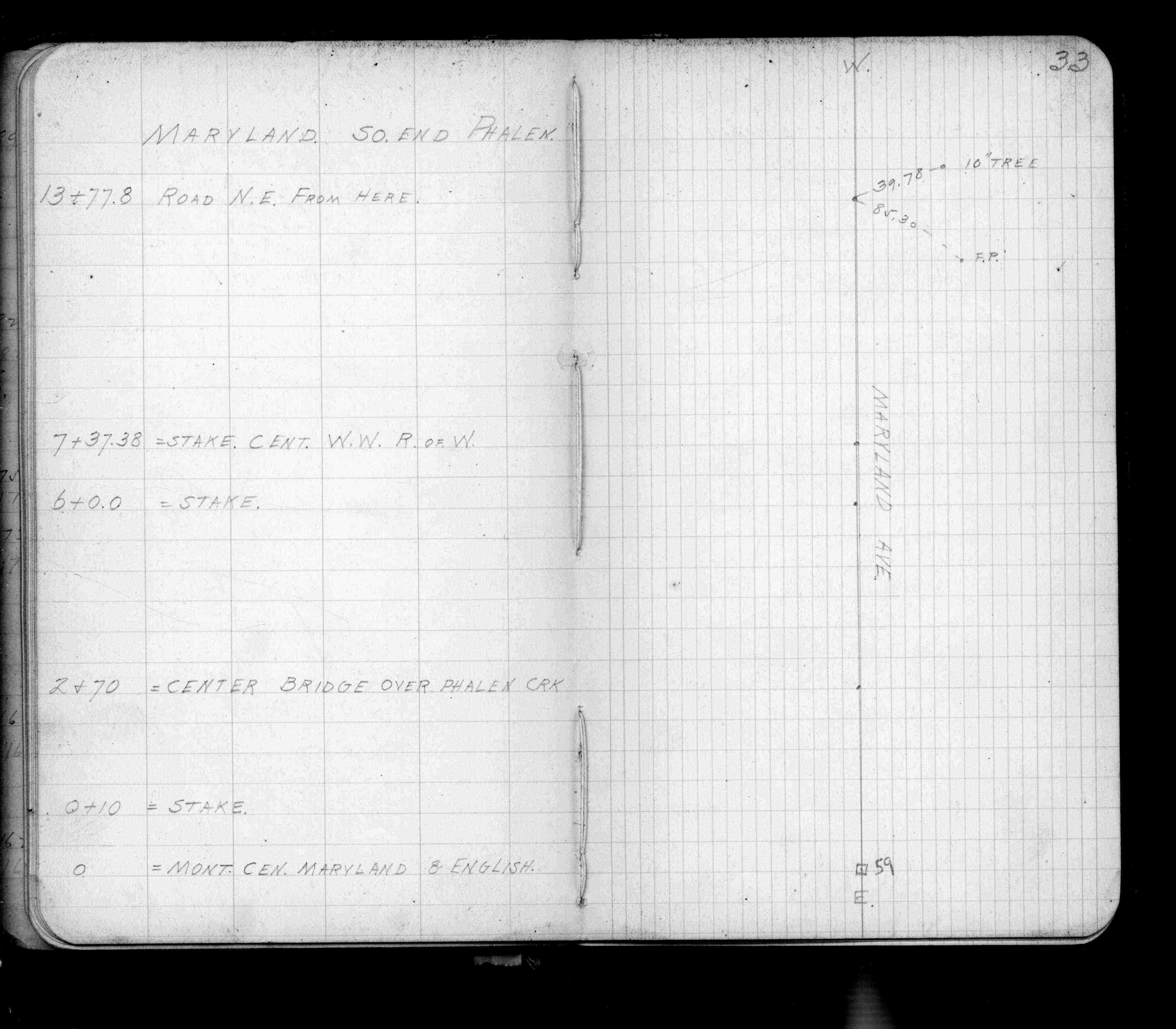
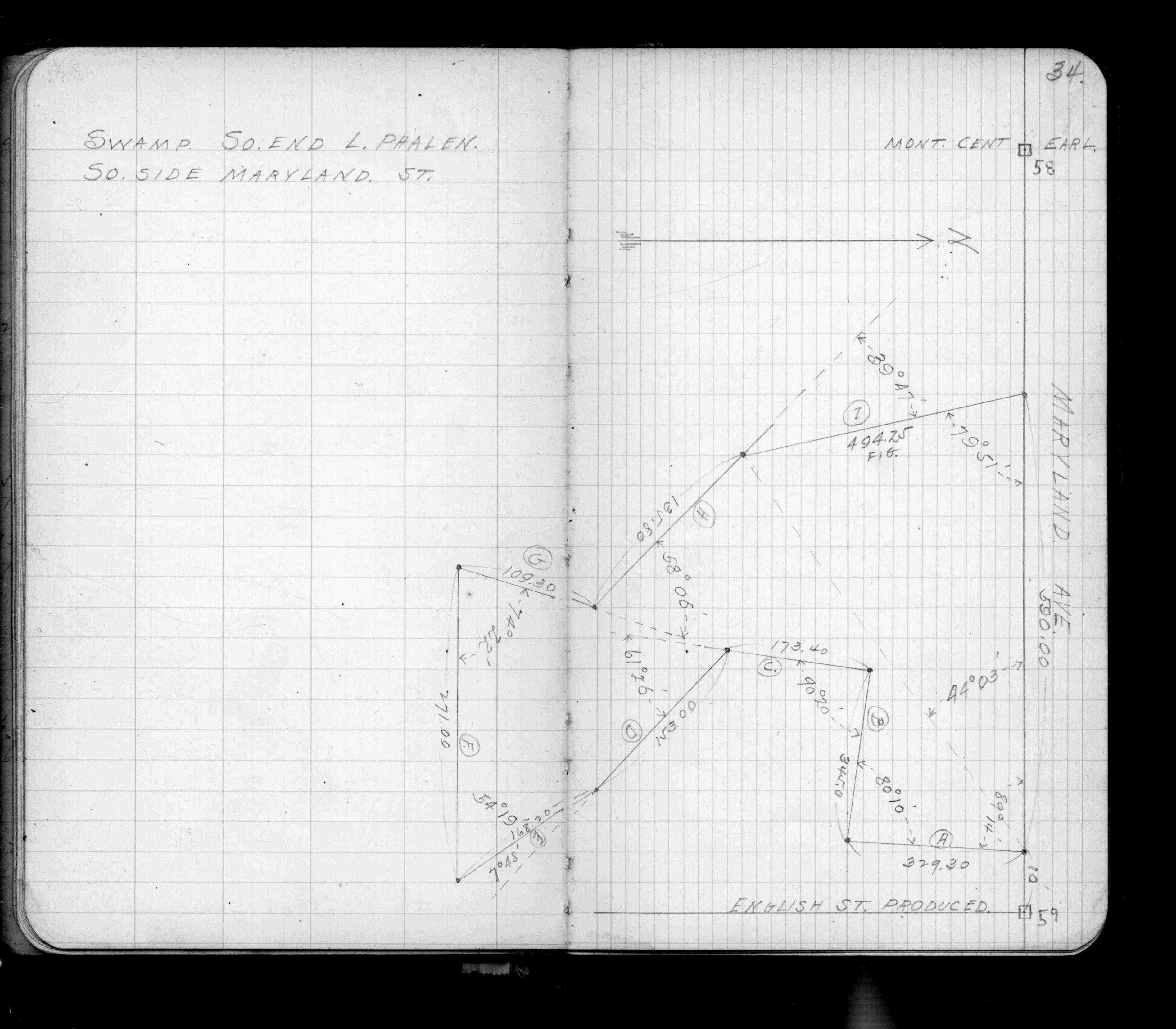
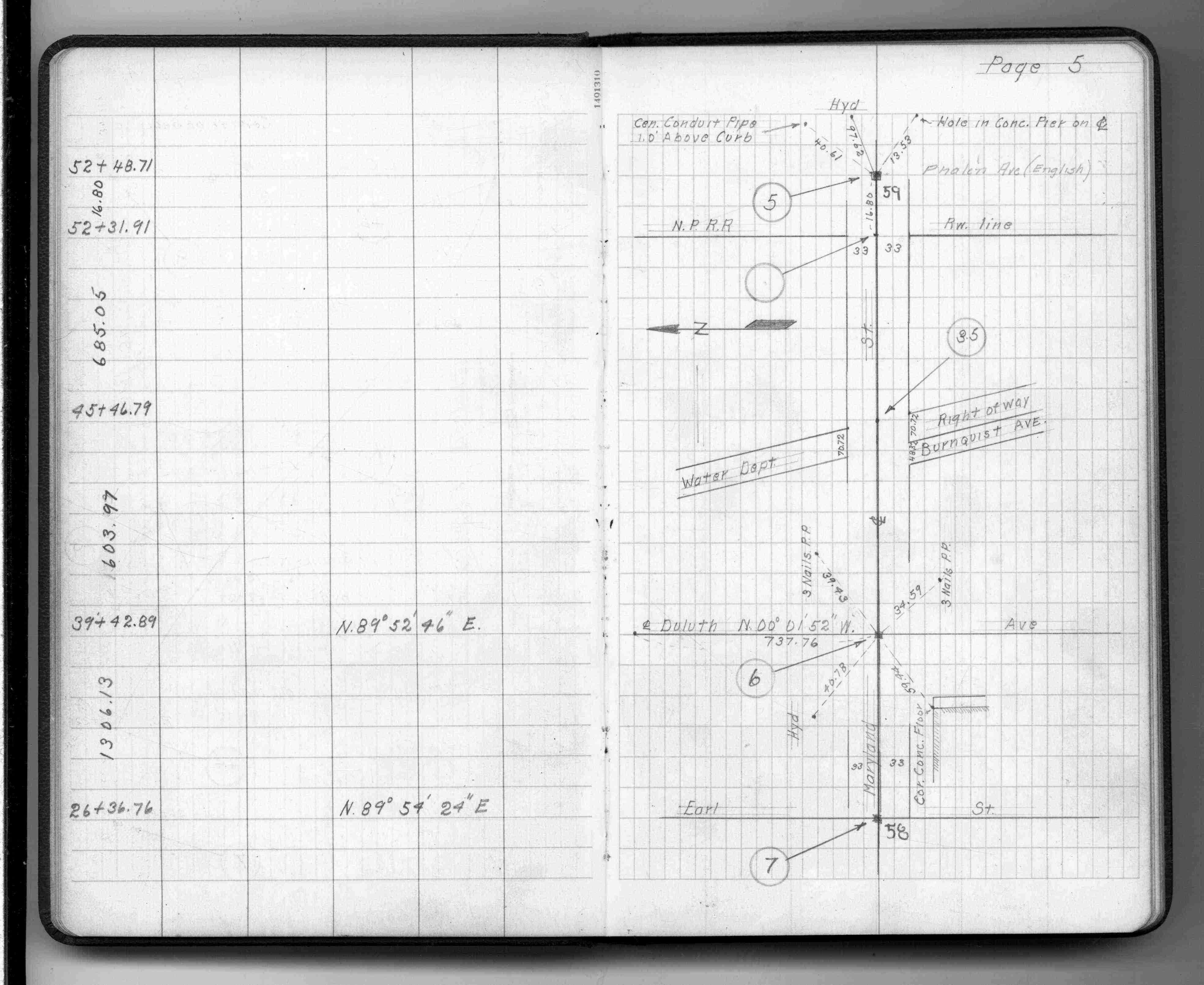
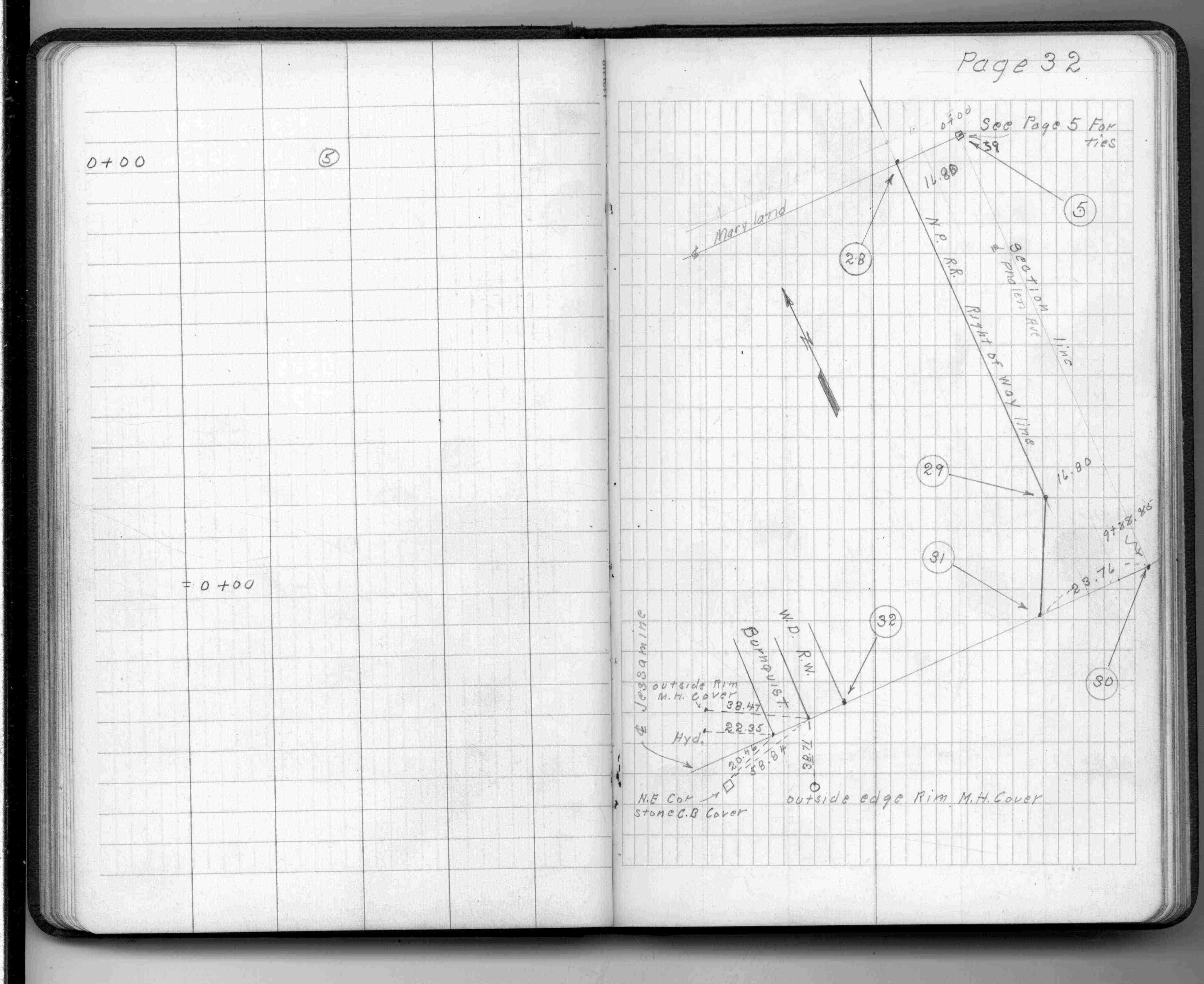
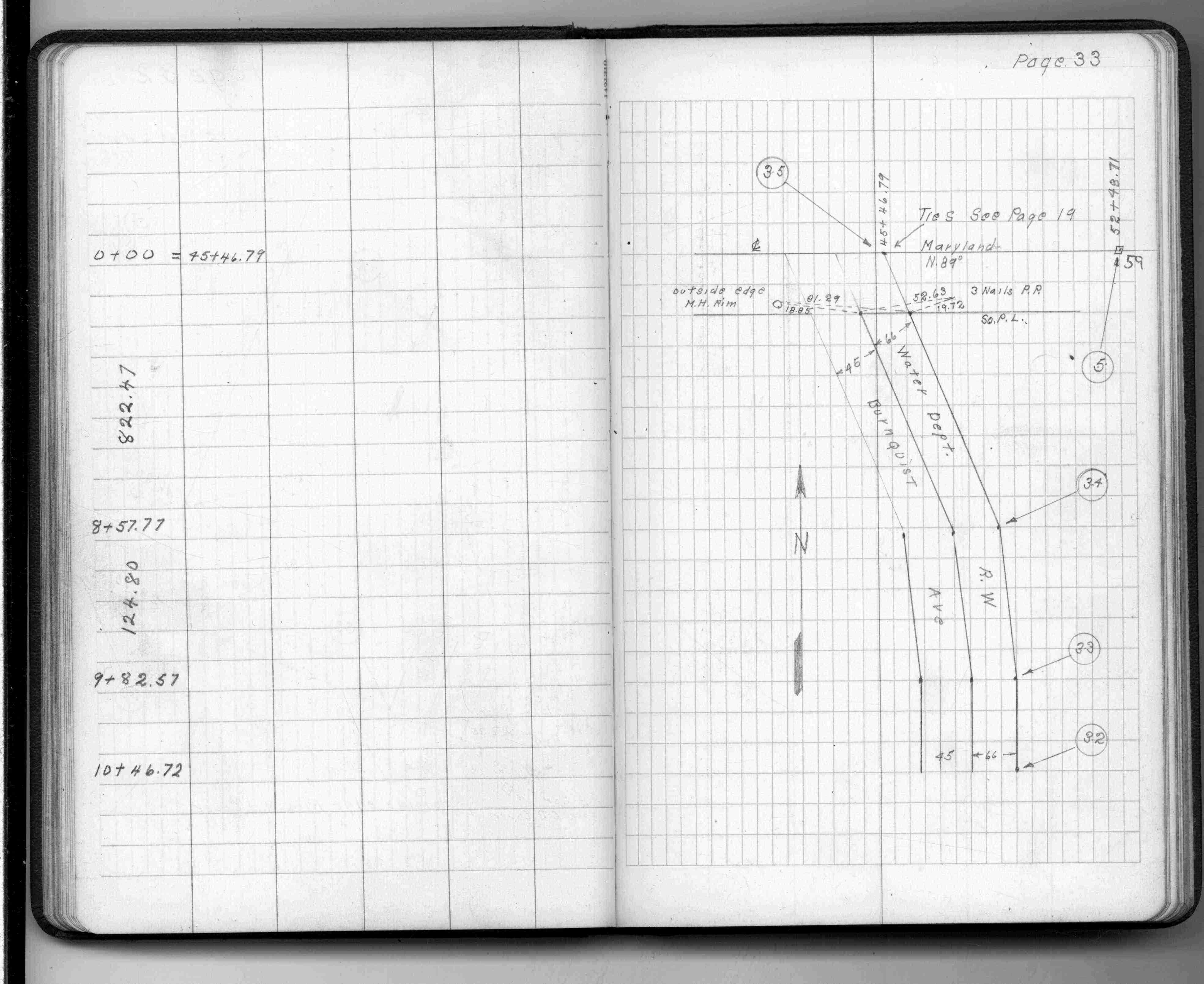
| FB 1336p. 05 ,32 ,33 | ||||||
| FB 1421Ap.27 | ||||||
| FB 1443p.01 | ||||||
| FB 1477p.01 | ||||||
| FB 1482p.26 | ||||||
| FB 1549Gp. 09 ,10 ,29 | ||||||
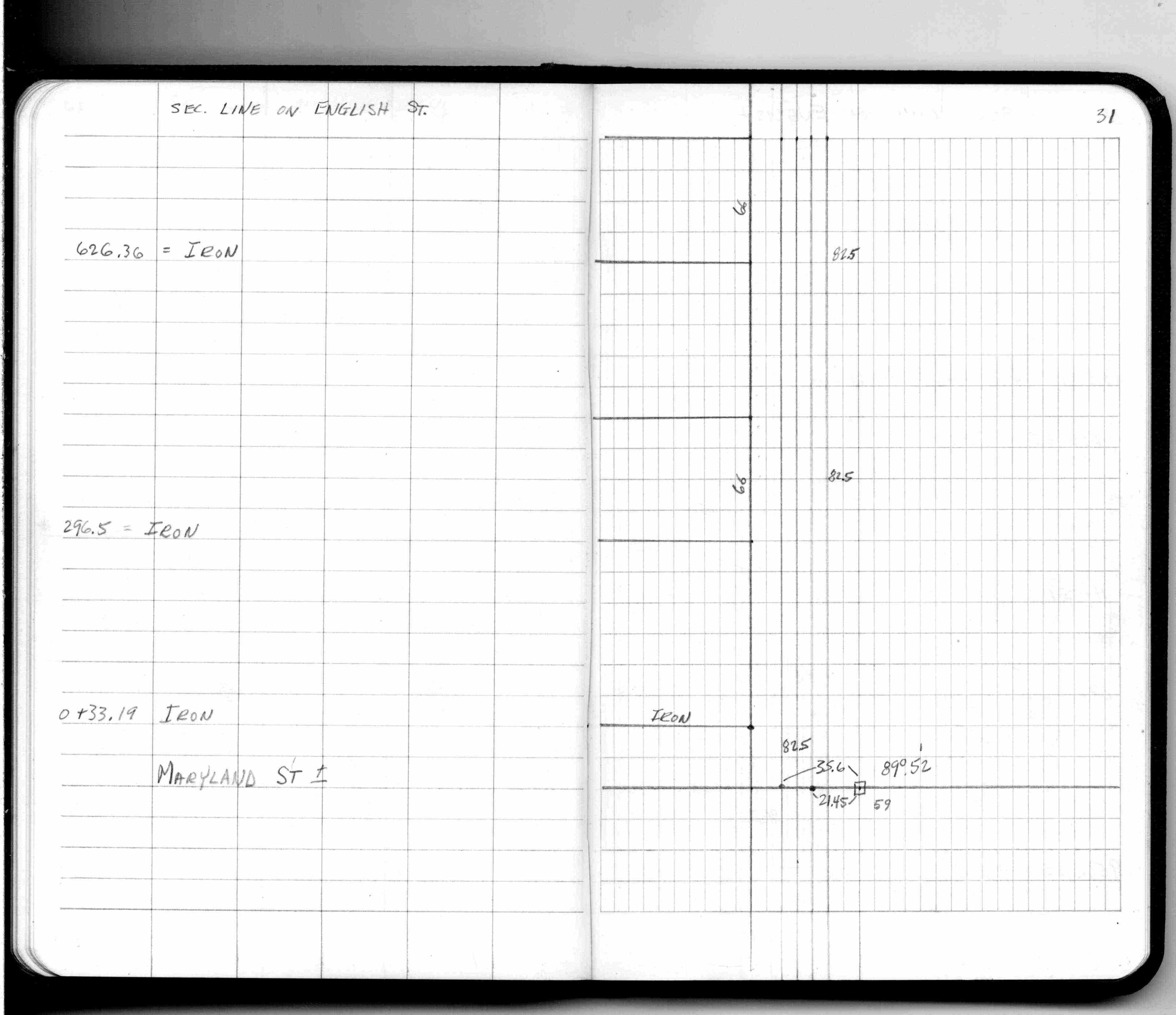
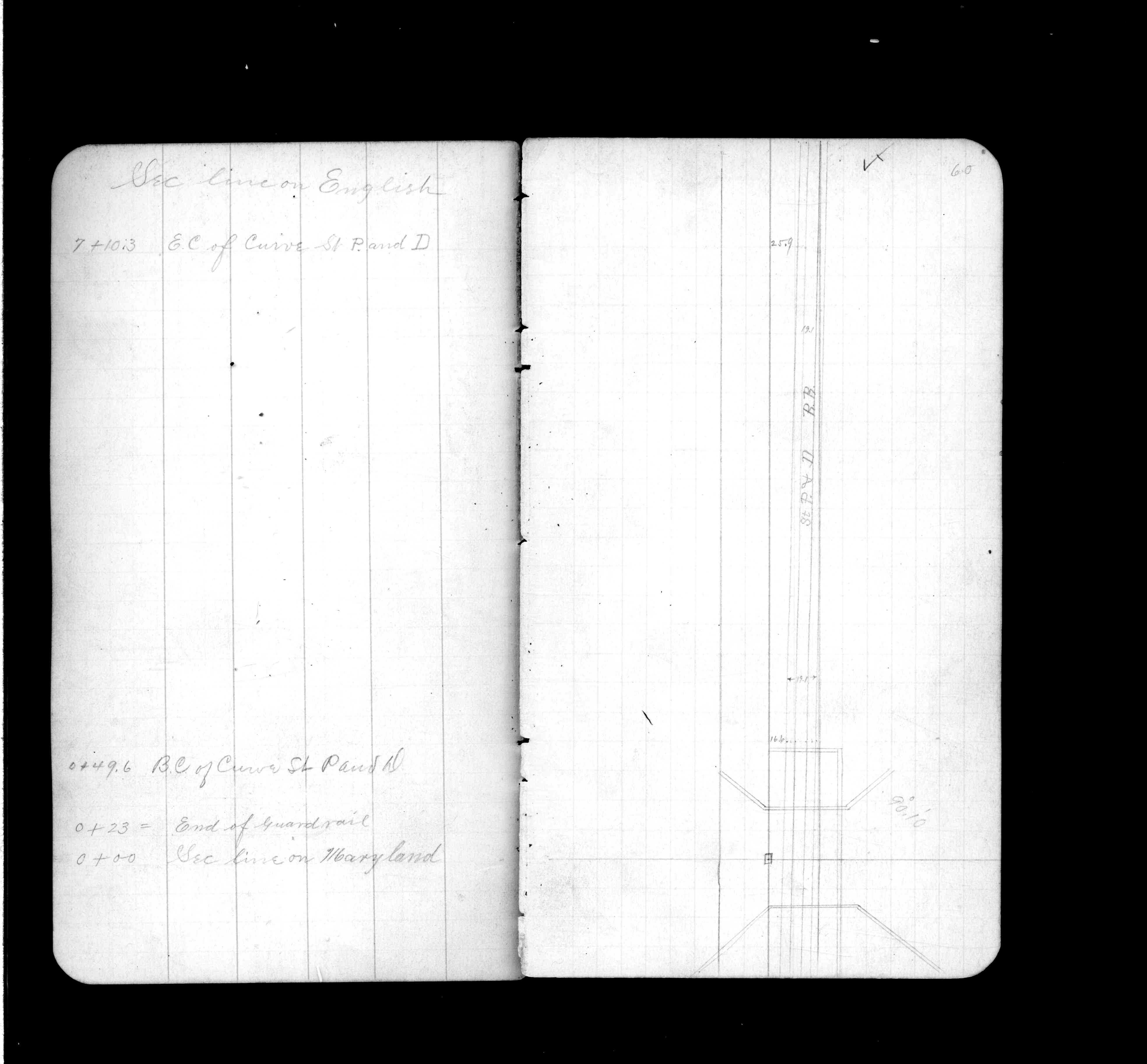
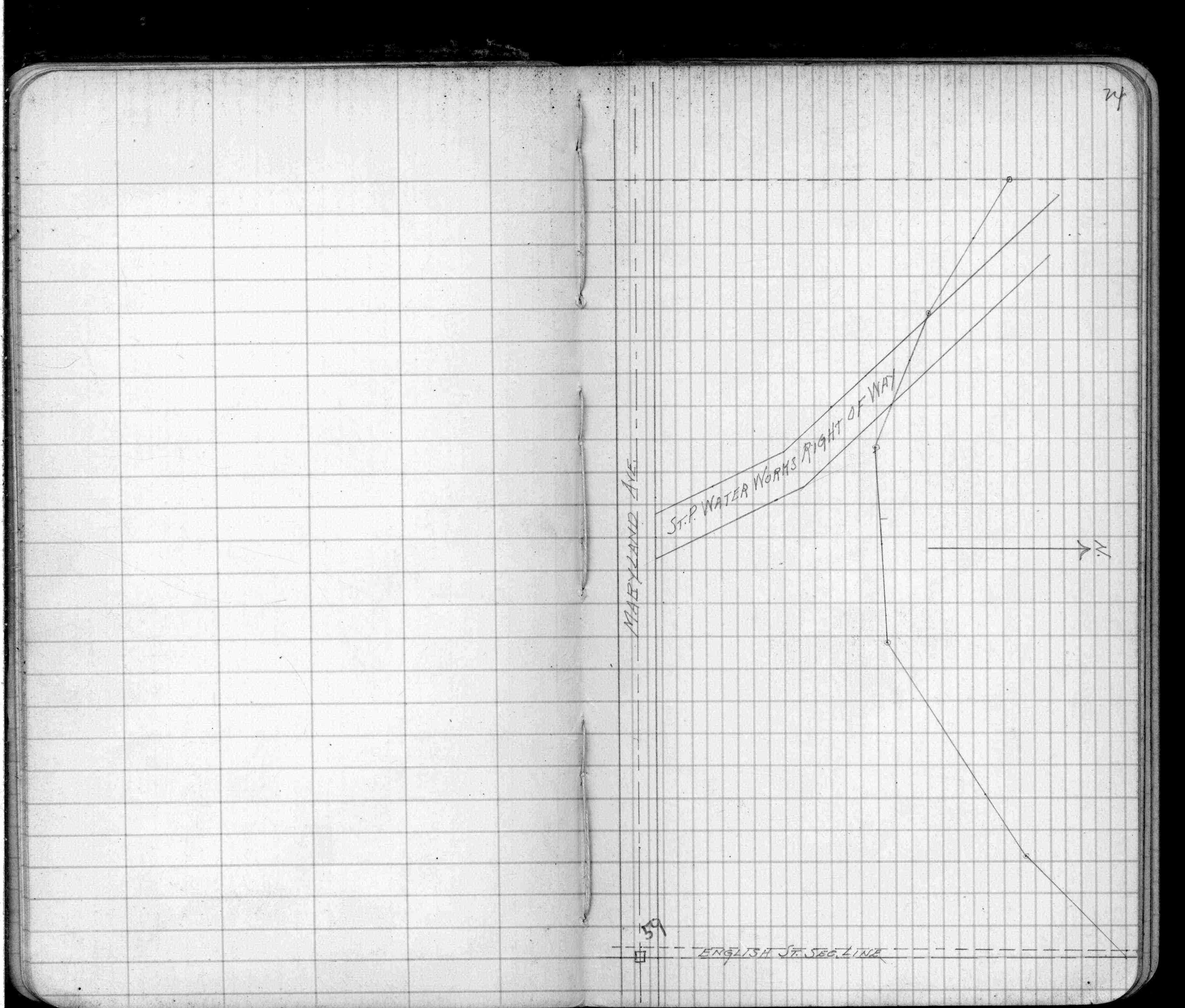
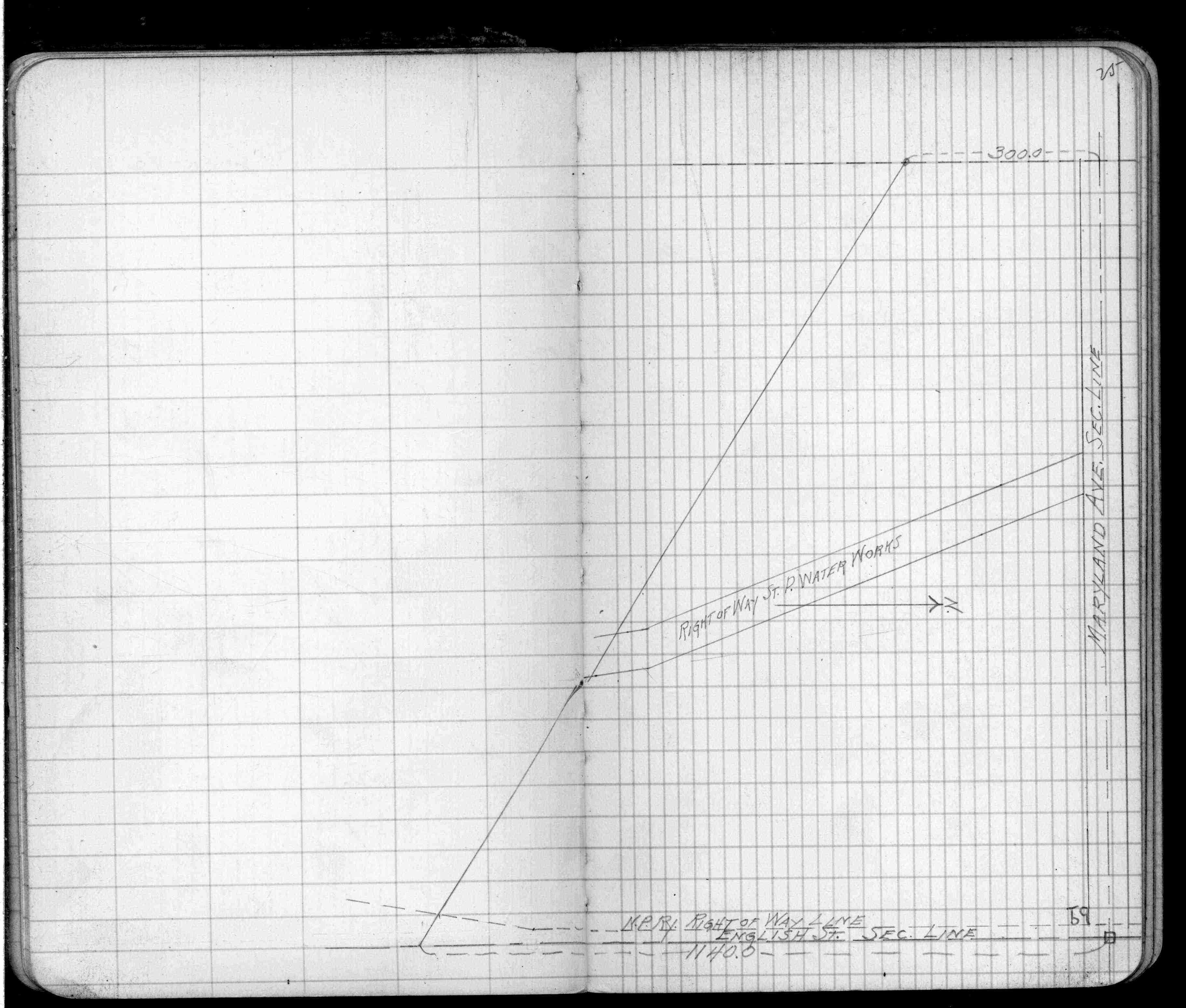
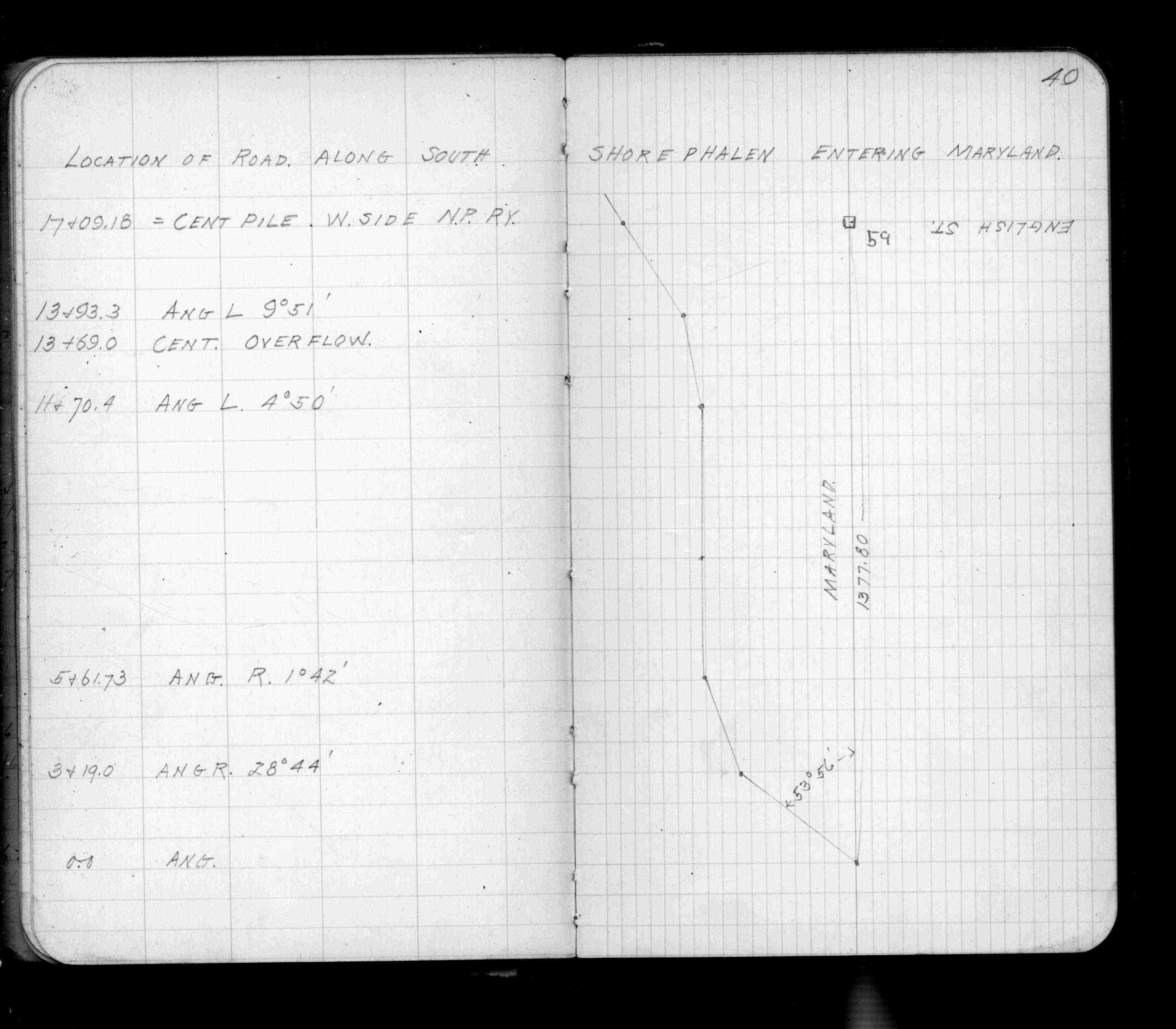
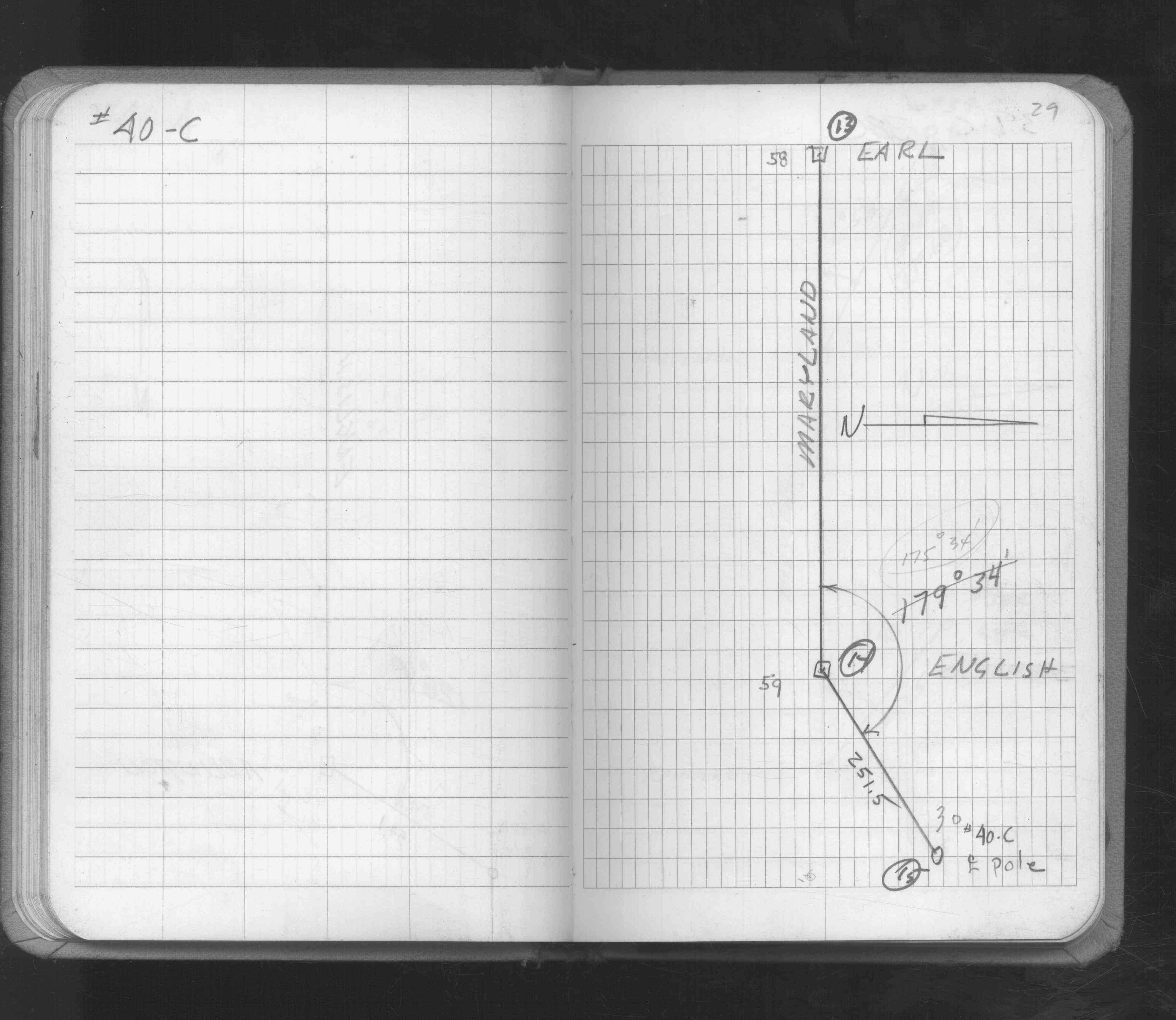
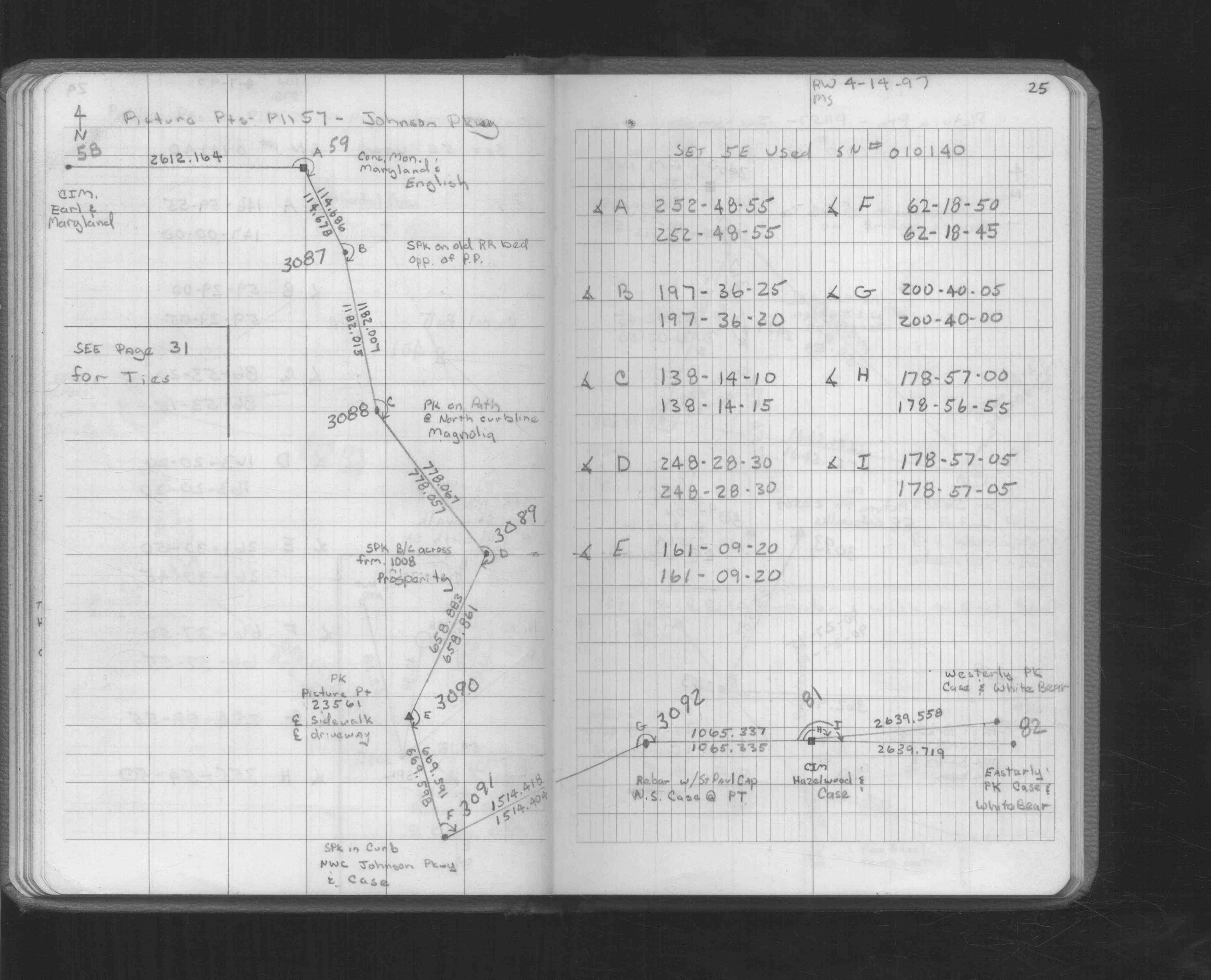
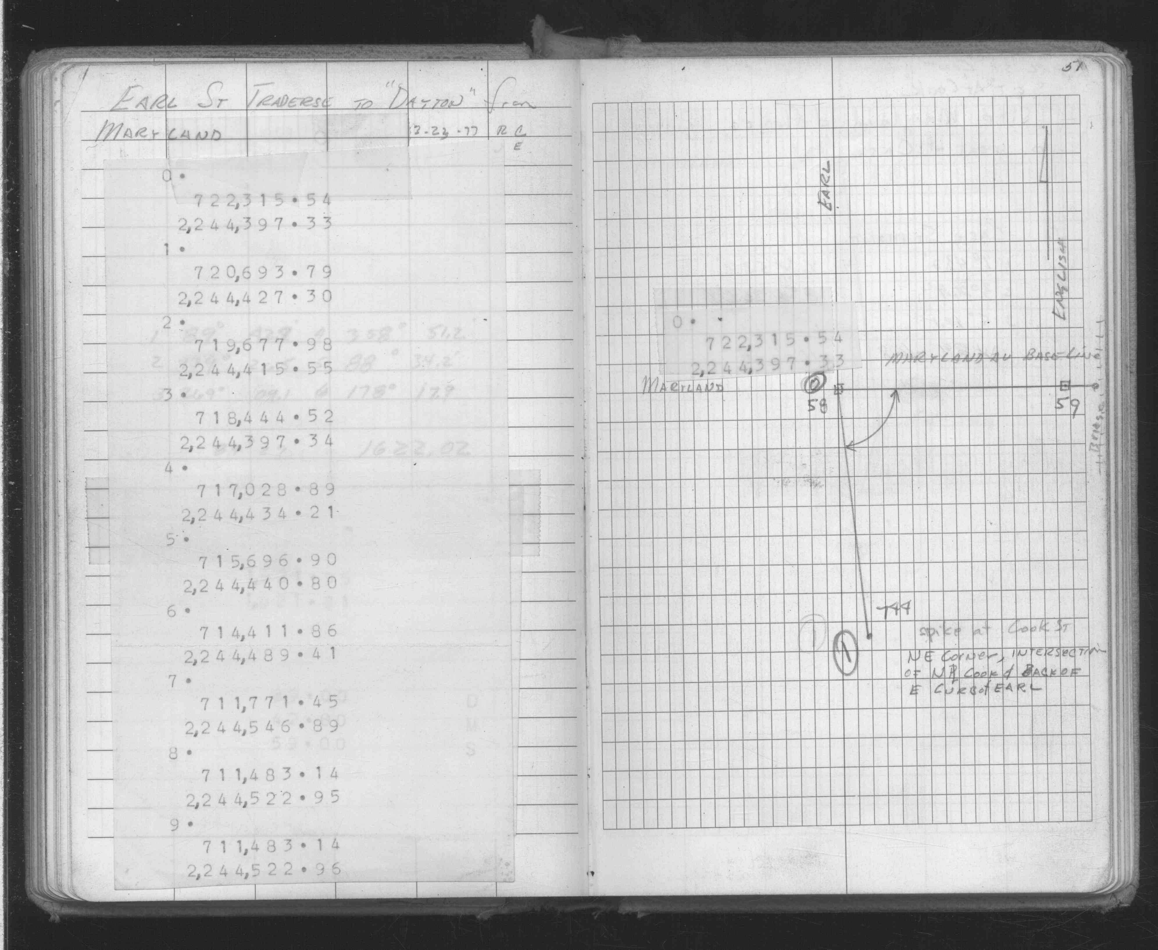
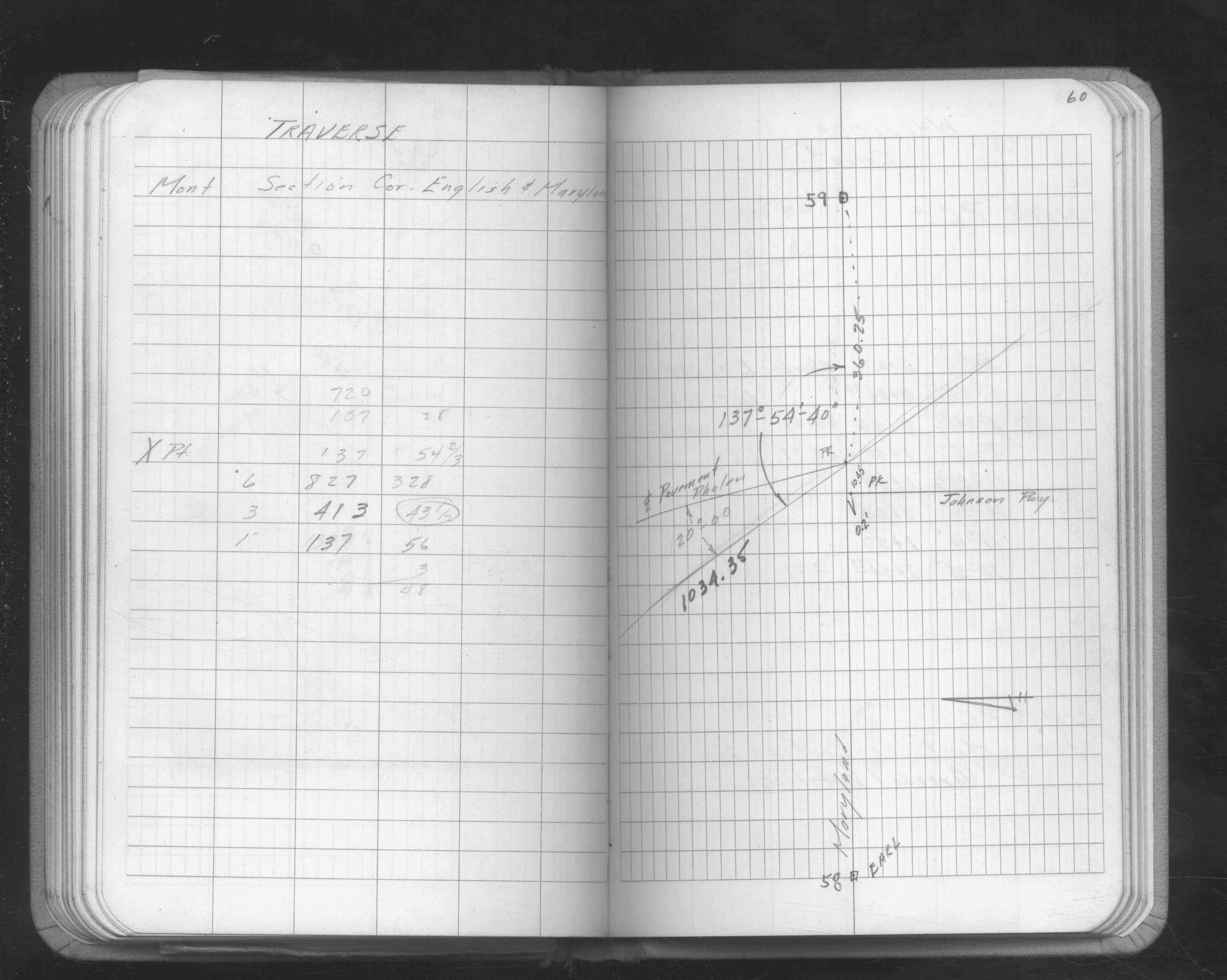
| FB 1549Lp.25 | ||||||
| FB 1634Dp.51 | ||||||
| FB 1642p.60 | ||||||
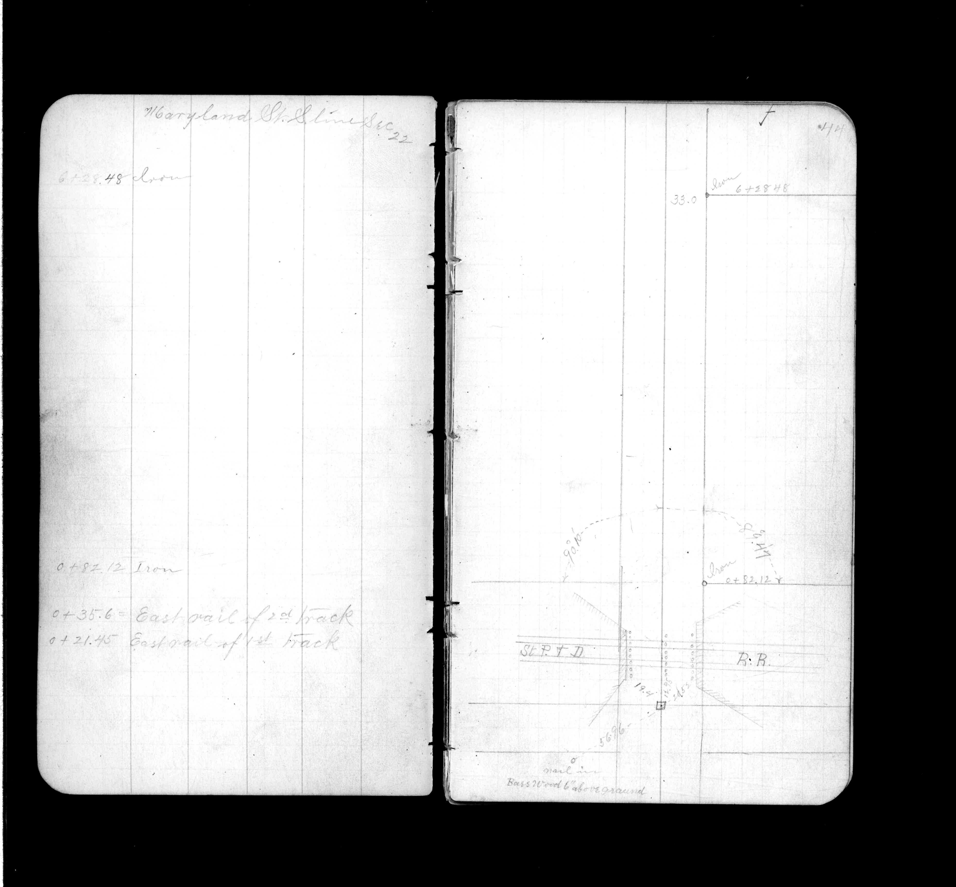
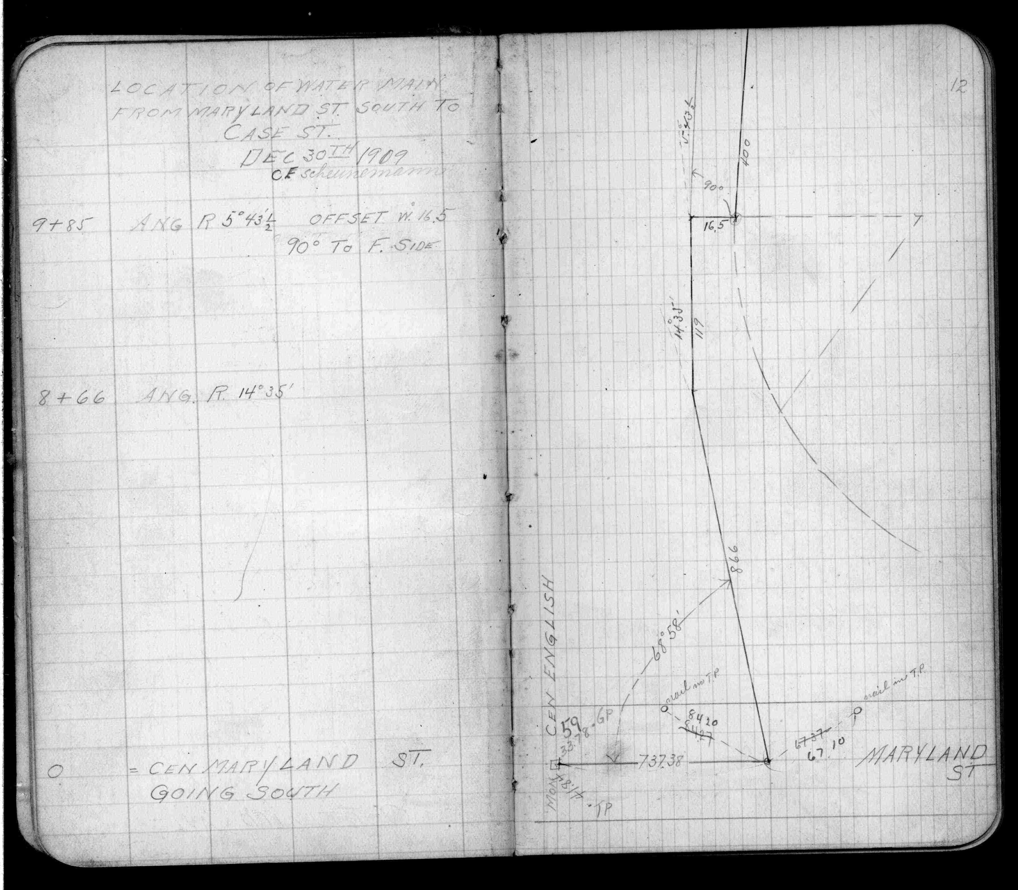
| FB 1689Ap.13 | ||||||
| FB 1708Ap.62 | ||||||
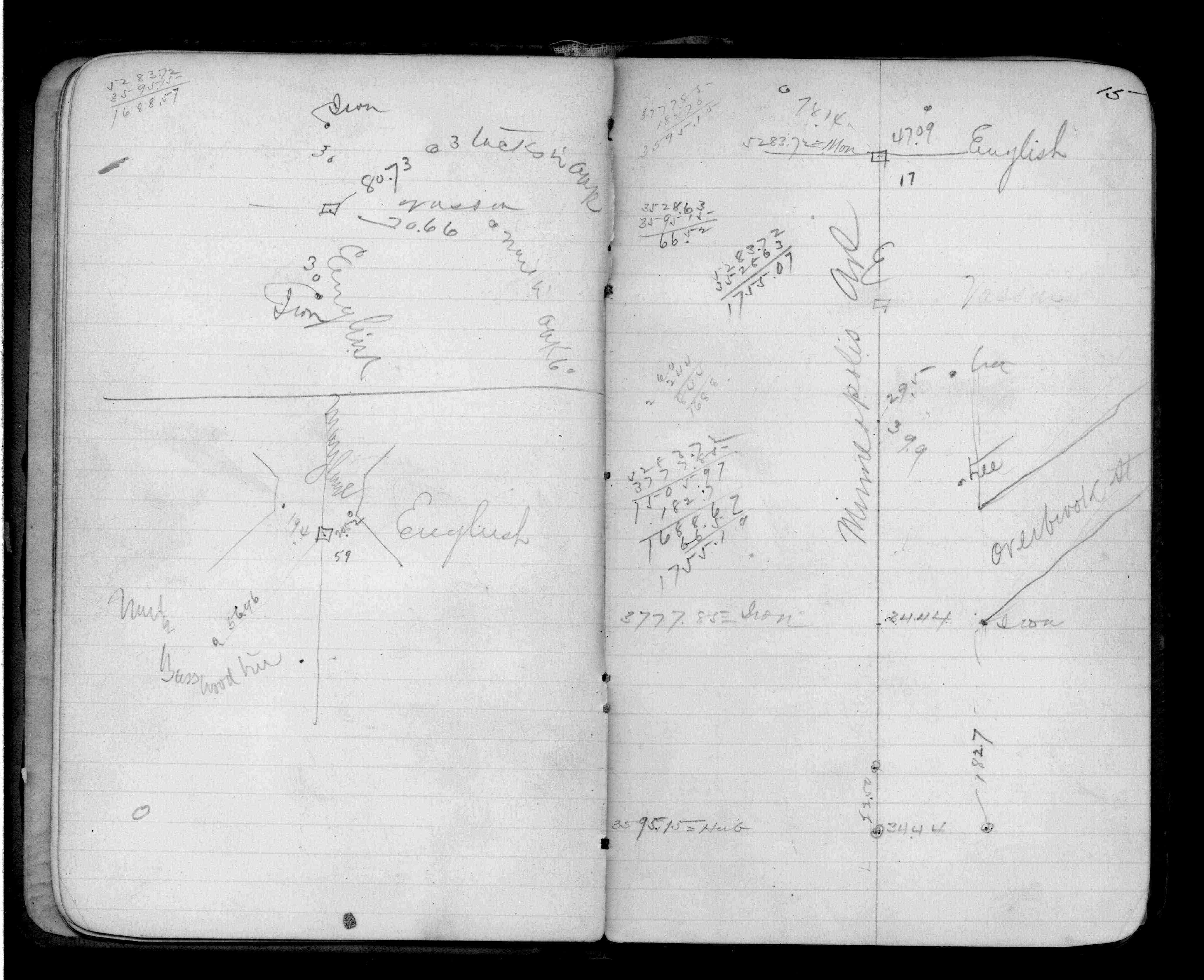
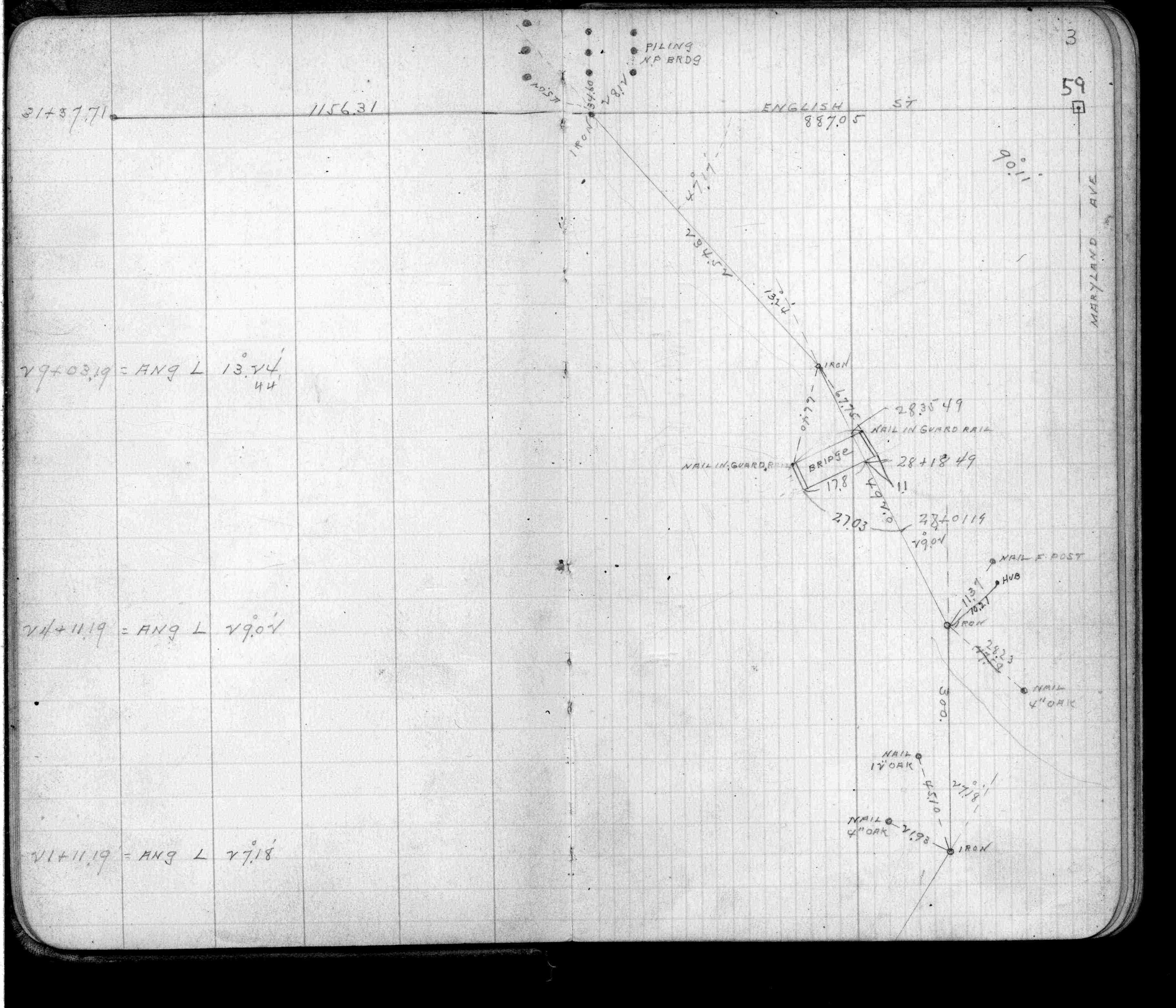
| FB 1721p.44 | ||||||
| FB 1721p.44 | ||||||
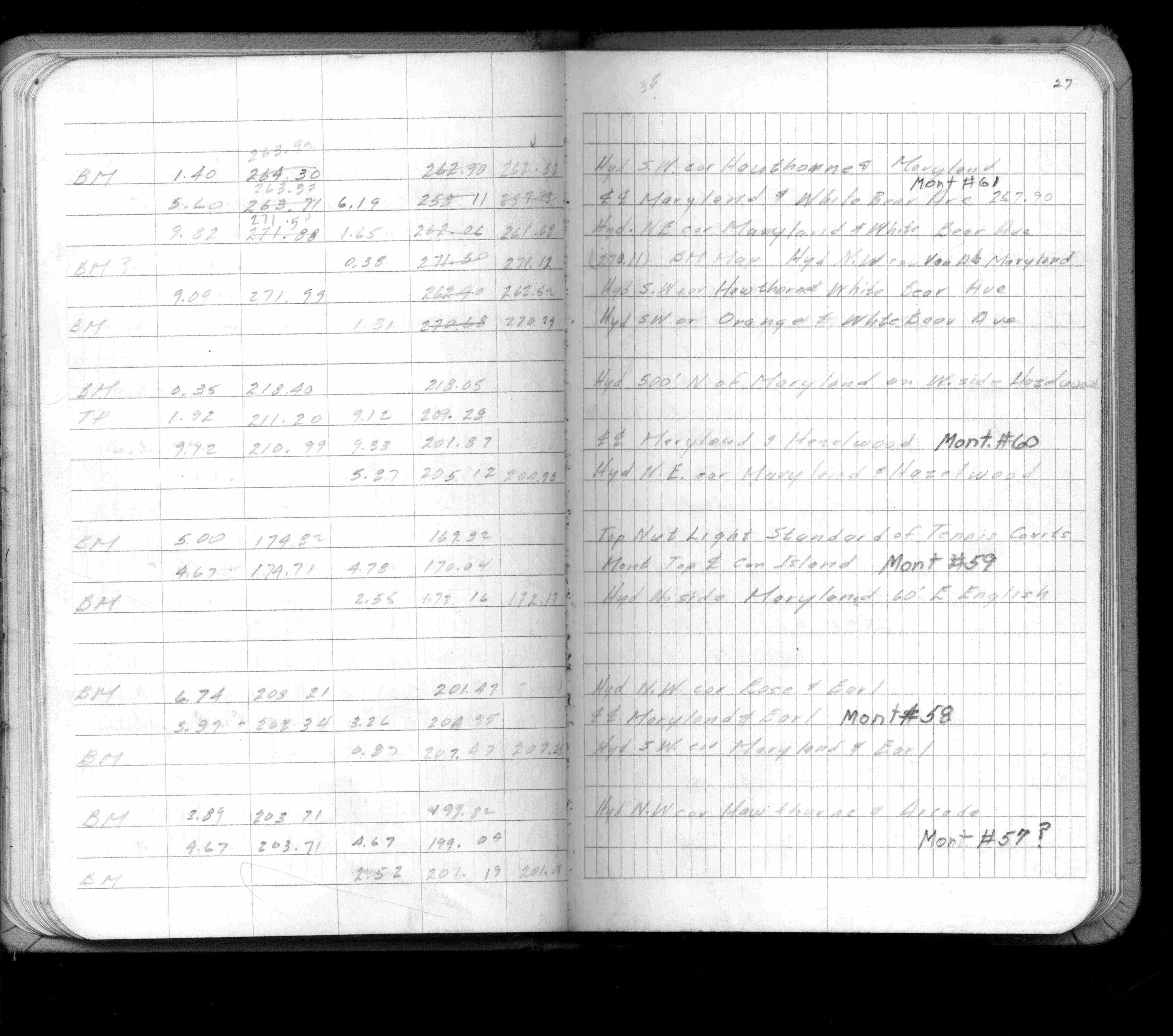
| FB 1735p.16 | ||||||
| FB 1736p.16 |
| FILE | SURVEYOR | LIC. NO. | DATE SIGNED | DATE TIED |
|---|---|---|---|---|
| 0059-0029-A.tif | William J. Cutting | 20576 | April 29, 1992 | April 29, 1992 |
| ST_001-078p059.jpg | none | none | none | none |
| 0059-0029-A.dwf | none | none | none | none |
| FILE | PHOTO DATE | COMMENTS |
|---|---|---|
| 0059-0029-5.jpg | May 15, 2012 | Looking west along Maryland Ave. |
| 0059-0029-4.jpg | May 15, 2012 | Looking south. |
| 0059-0029-3.jpg | May 15, 2012 | Looking east along Maryland Ave. |
| 0059-0029-2.jpg | May 15, 2012 | Looking north. |
| 0059-0029-1.jpg | May 15, 2012 | Close up of monument. |