| NAD83 COORDINATES (1986 adj.): |
|---|
| * X= 555986.31 Y= 162698.23 Z= 0 LSQ 12/6/1991 S FIX |
| X= 555986.22 Y= 162698.21 Z= 927.6 3/21/2006 RTK-VRS |
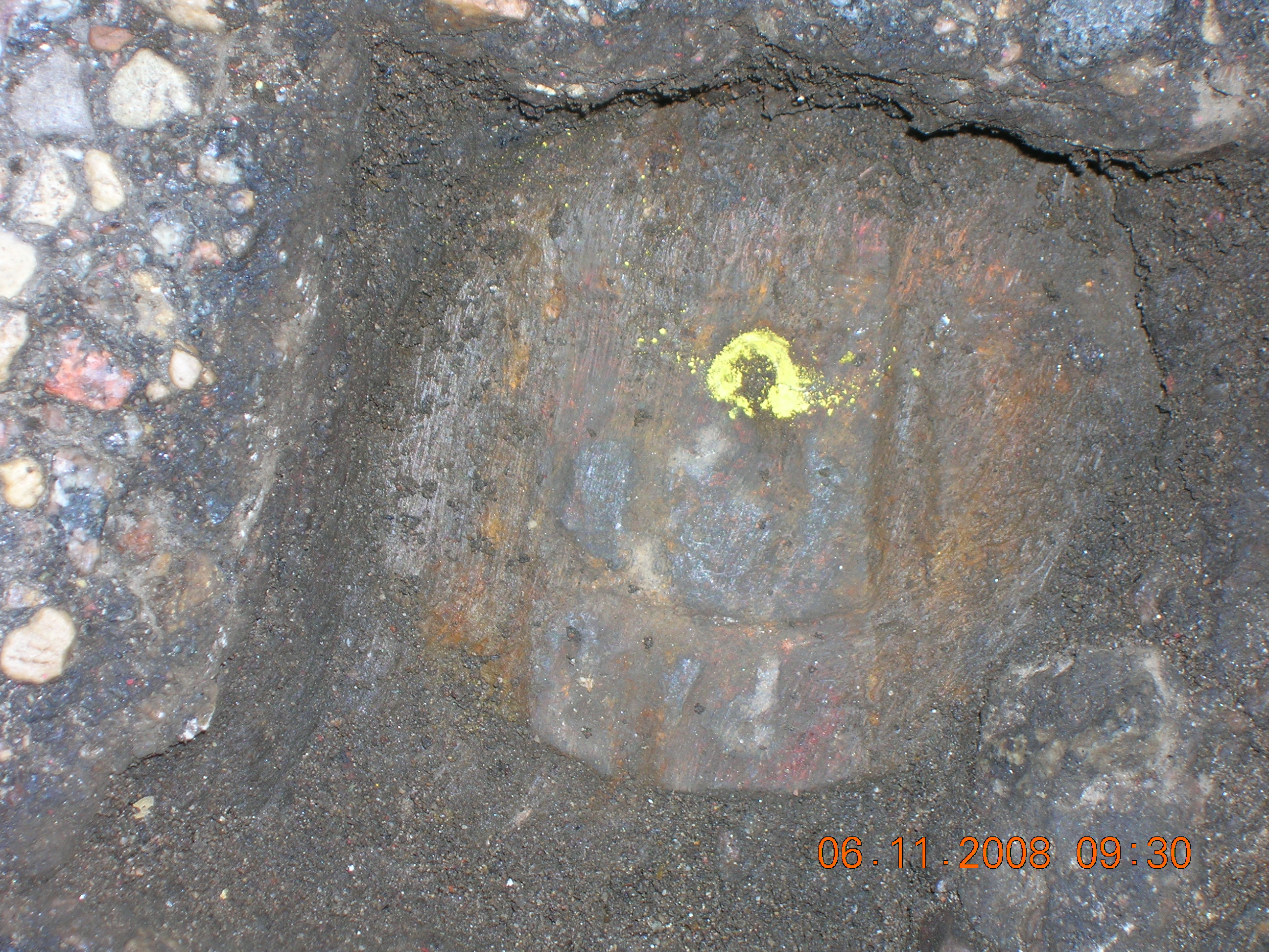
| 6/11/2008 | Photos taken. |
| 3/21/2006 | Found CIM 0.16 ft below asphalt surface. Position established by RTK-VRS GPS. Elev. 927.6 Ft. Photos taken. |
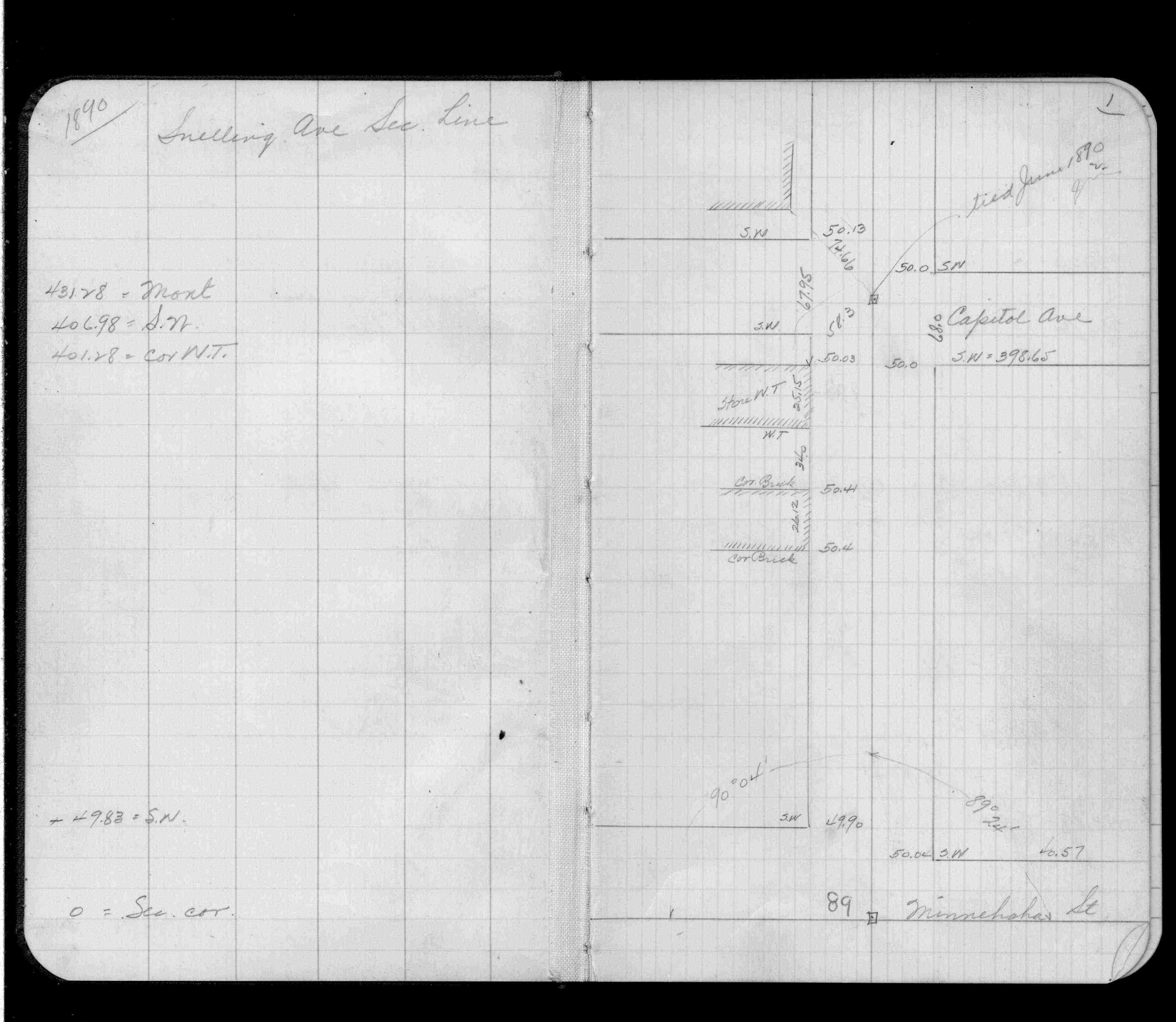
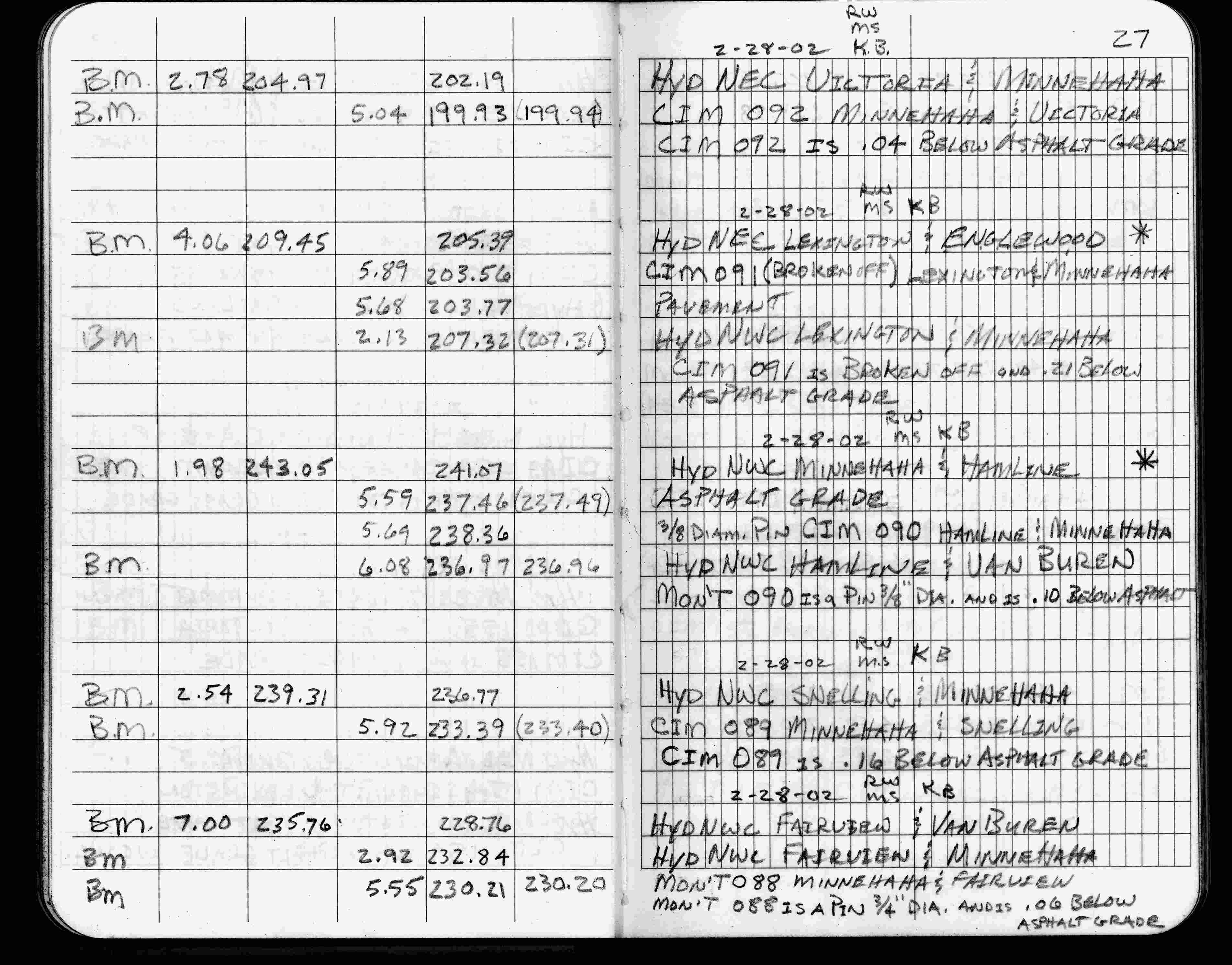
| 2/28/2002 | Elev 233.39 ft on CIM 0.16 ft below asphalt surface. See FB 1736 p.27 |
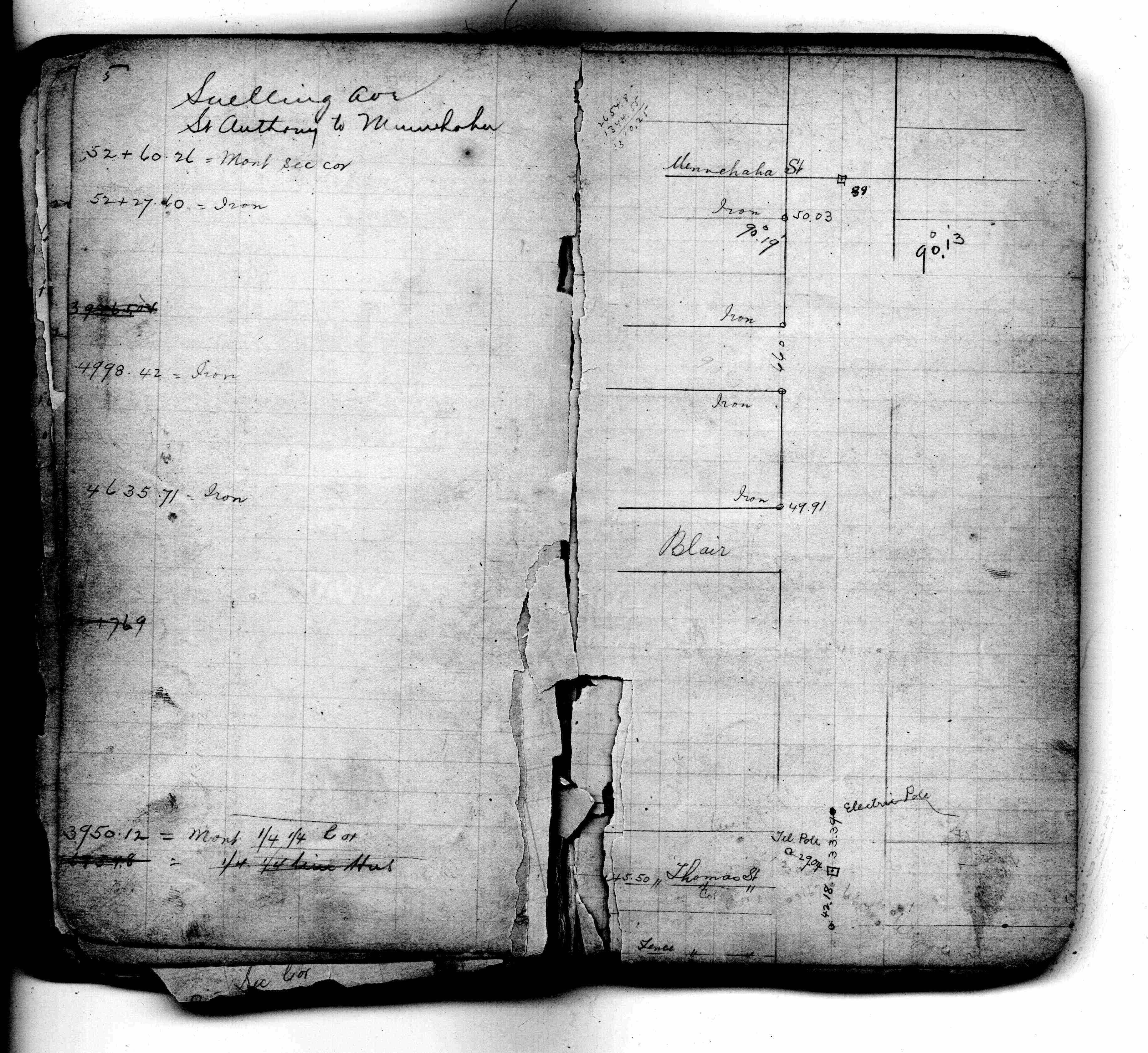
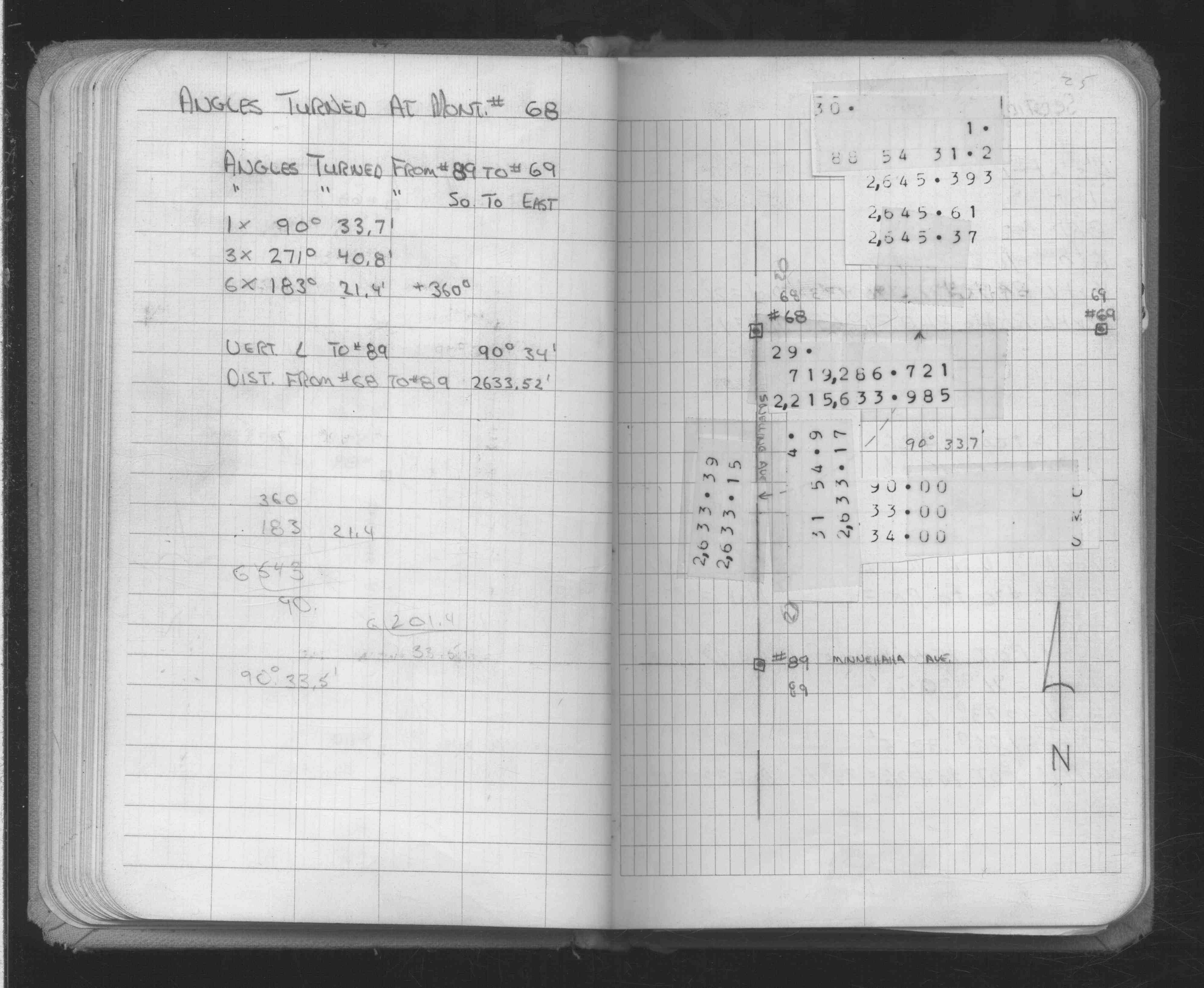
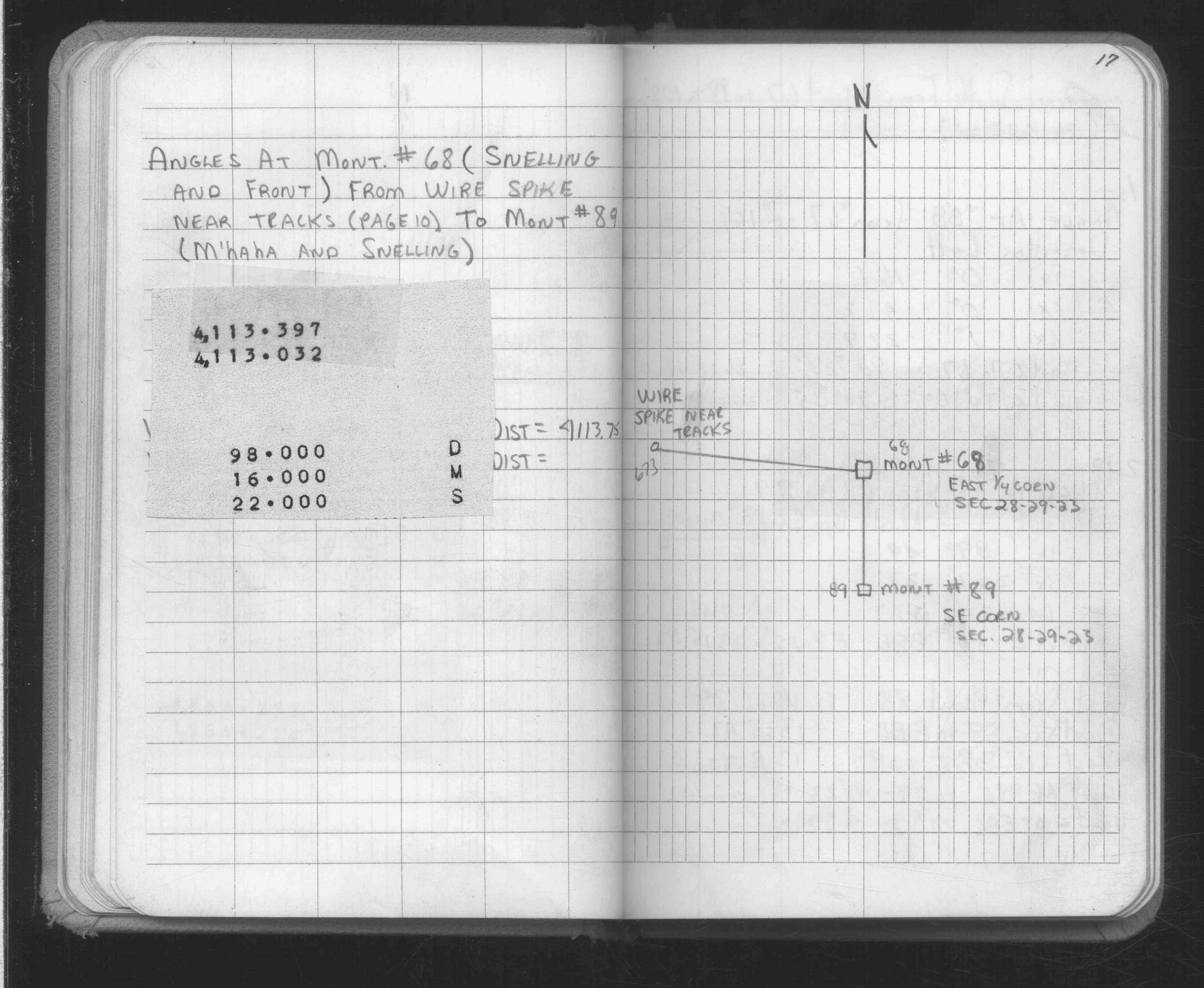
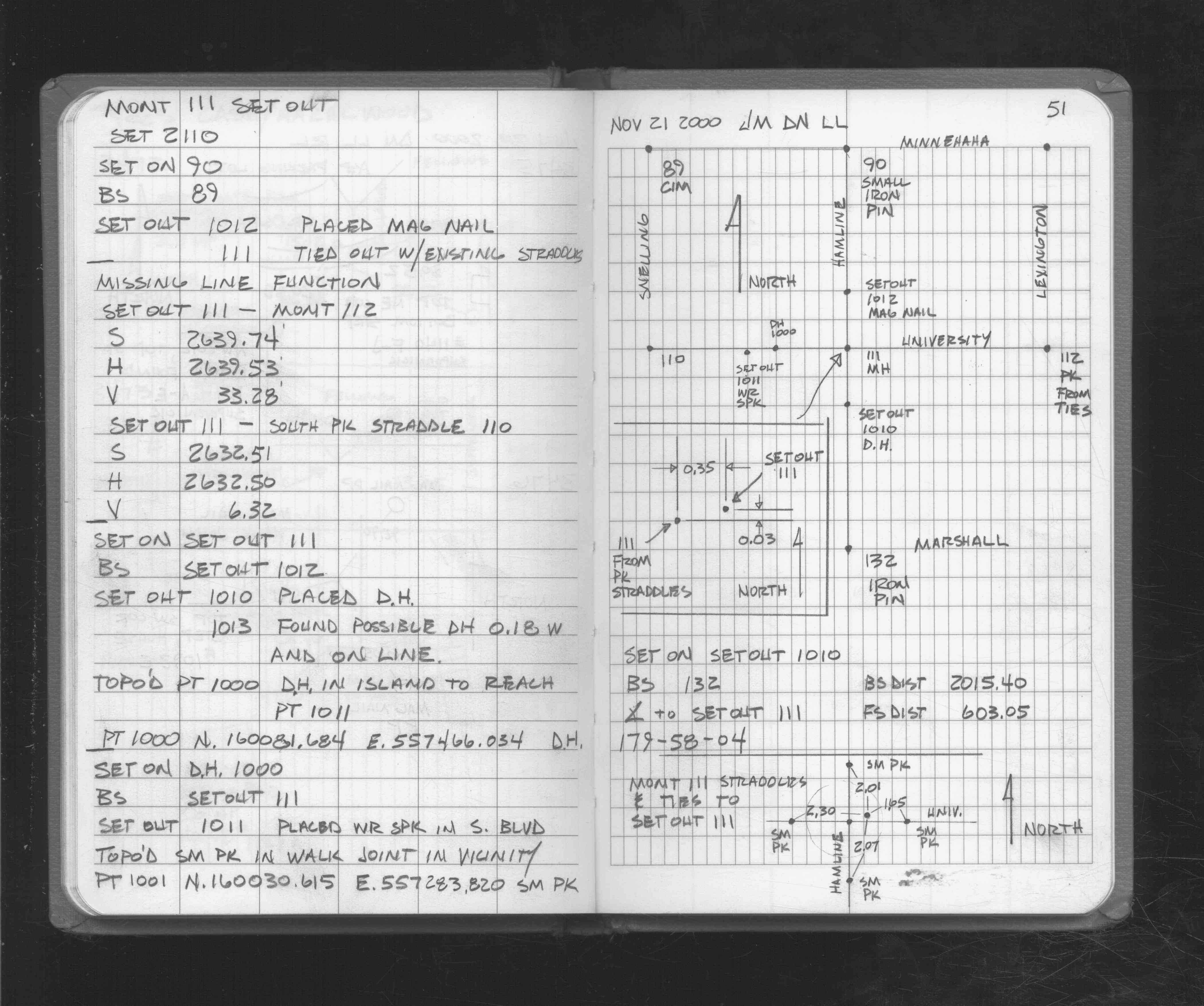
| 11/21/2000 | Recovered CIM. See FB 1721 p.51 |
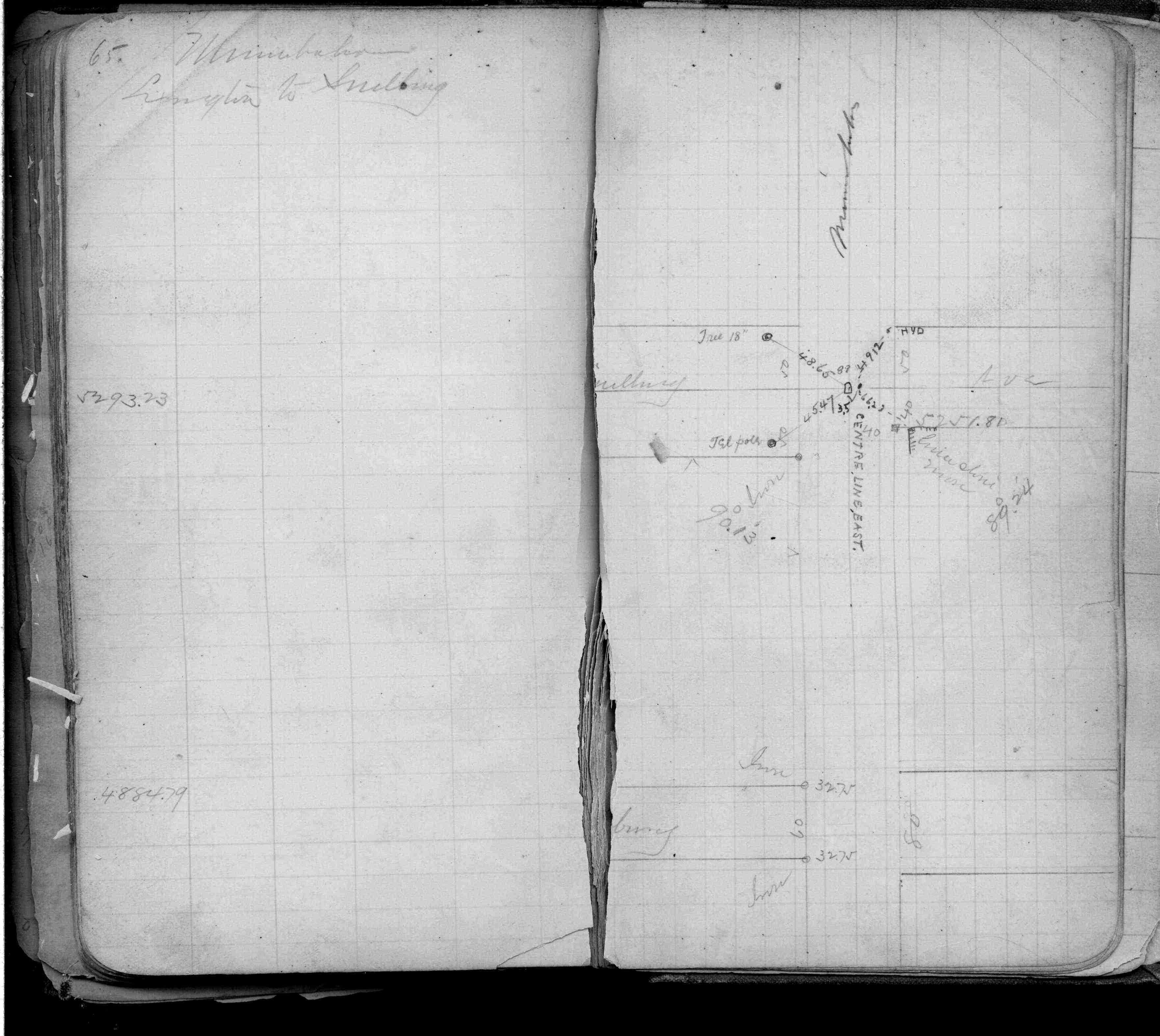
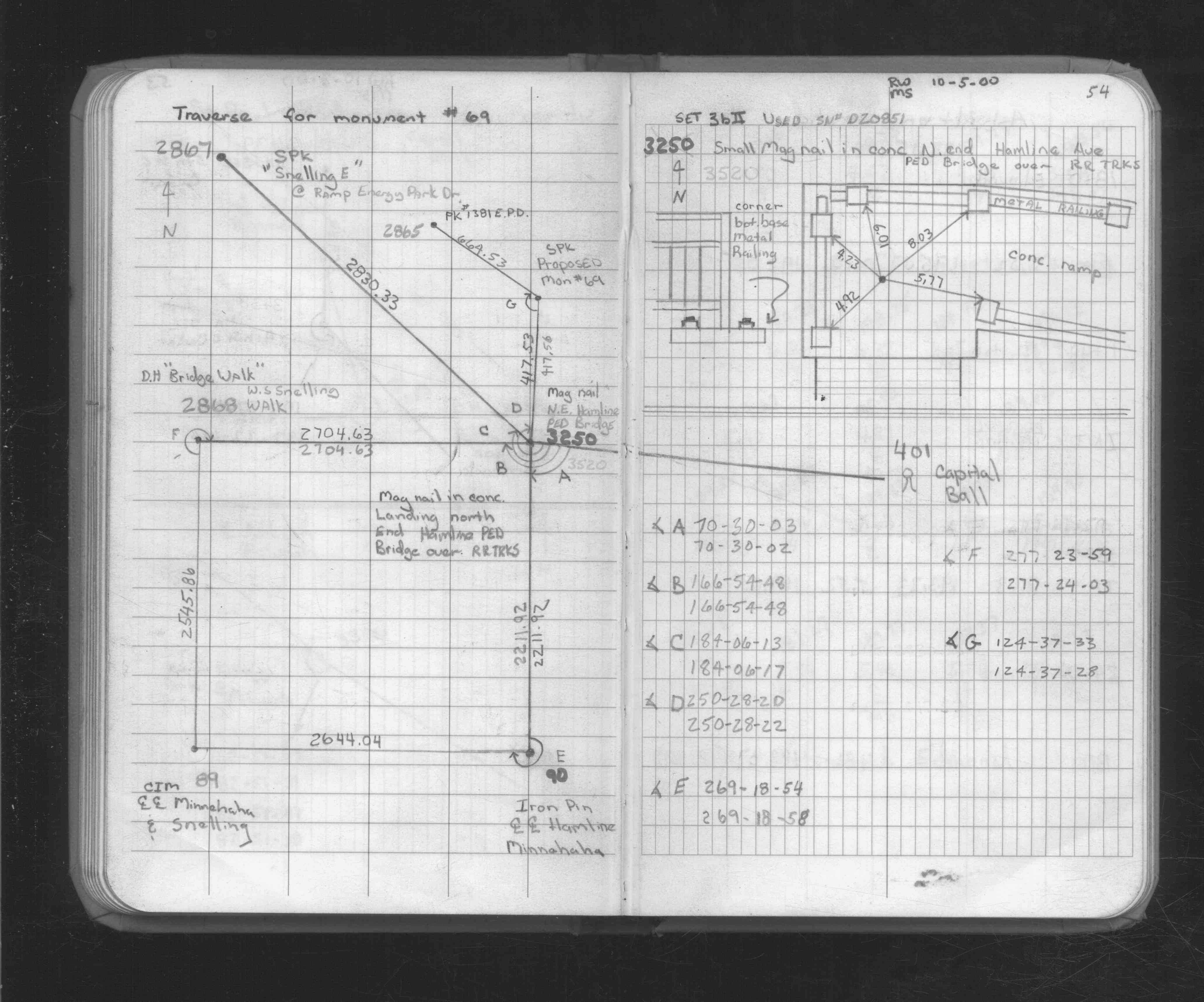
| 10/5/2000 | Used CIM for traverse control. See FB 1734A p.54 |
| 3/1/2000 | (Unknown date Mar __, 2000 ) Fd CIM (marked for painting target for 2000 aerial) |
| 2/5/1997 | Elev 233.40 ft on CIM. See 97adj.pts, 1997/fairview.org/bmfair.sdr (loop 136) Digital-Adj |
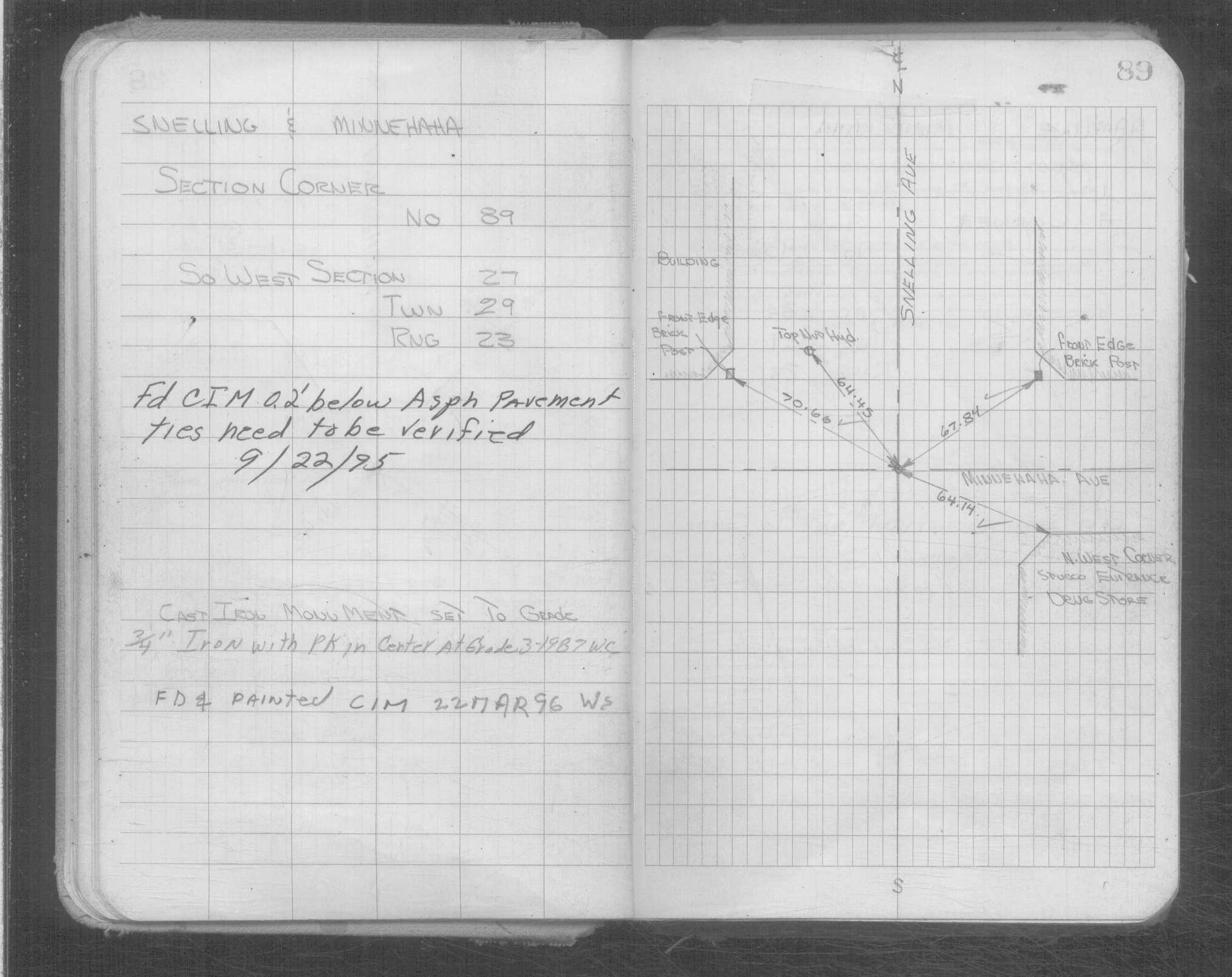
| 9/21/1995 | Fd CIM 0.2' below grade (marked for painting target for 1995 aerial) |
| 8/1/1991 | Recovered 3/4" iron pin with pk nail in center. See CofL 0089-0969-A |
| 3/1/1987 | (Unknown date Mar __, 1987 ) 3/4" iron pin with pk nail in center. |
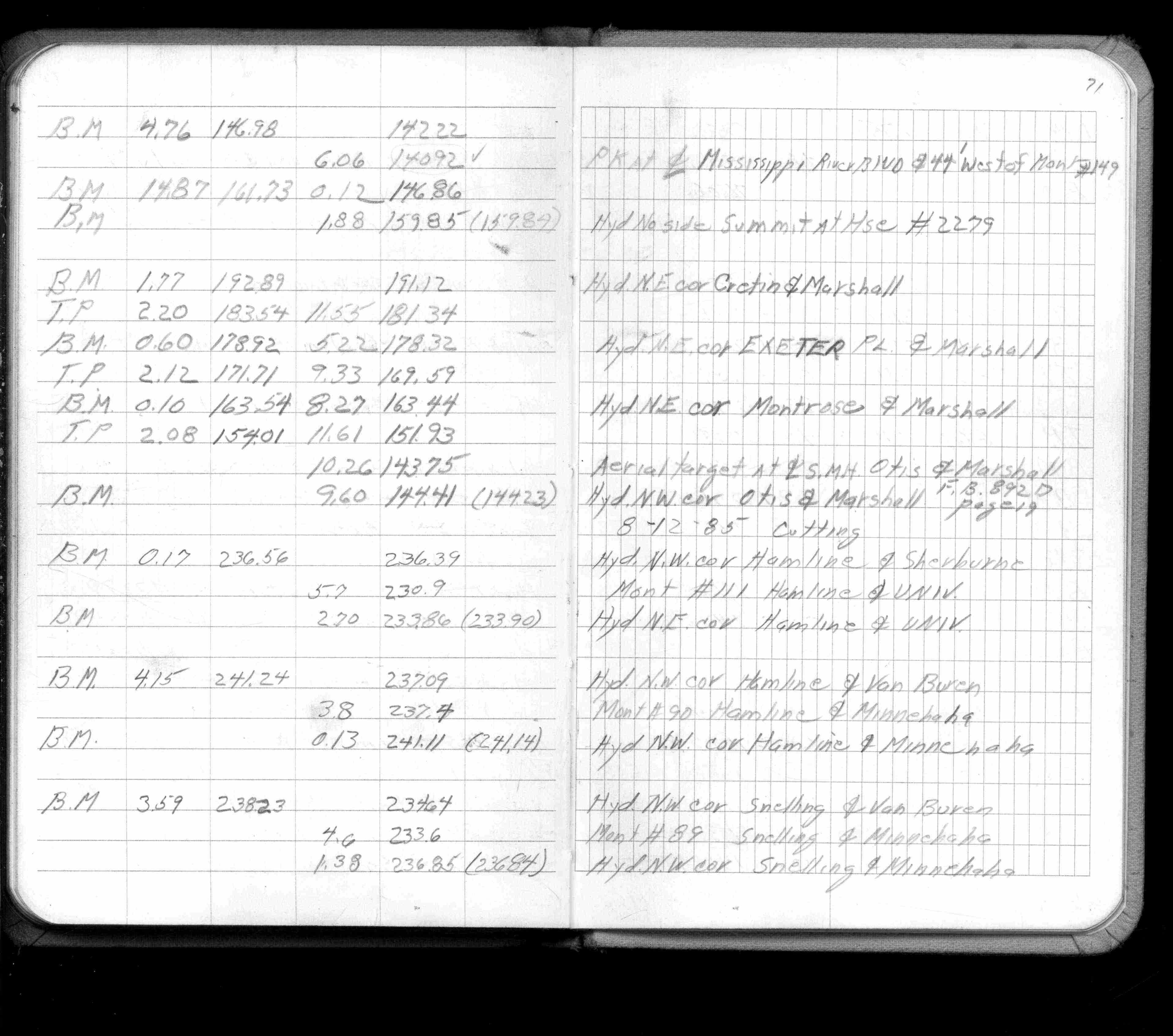
| 8/1/1985 | (Unknown date Aug __, 1985 ) Elev 233.6- ft on ?. See FB 1421A p.71 |
| 4/1/1887 | (Unknown date Apr __, 1887 ) Monument 969 - 980 set in April 1887 from survey by Armstrong |
| 11/1/1847 | (Unknown date Nov __, 1847 ) Isaac N Higbee deputy surveyor set post. Tied to 1 BT. See IH p.090-091 2923 |
Above is NOT an all inclusive history of this point. Please review all the links below.
| PLS NOTES | Field | Cross Section | Sewer | J.B. Irvine | Monument | River Survey |
|---|---|---|---|---|---|---|
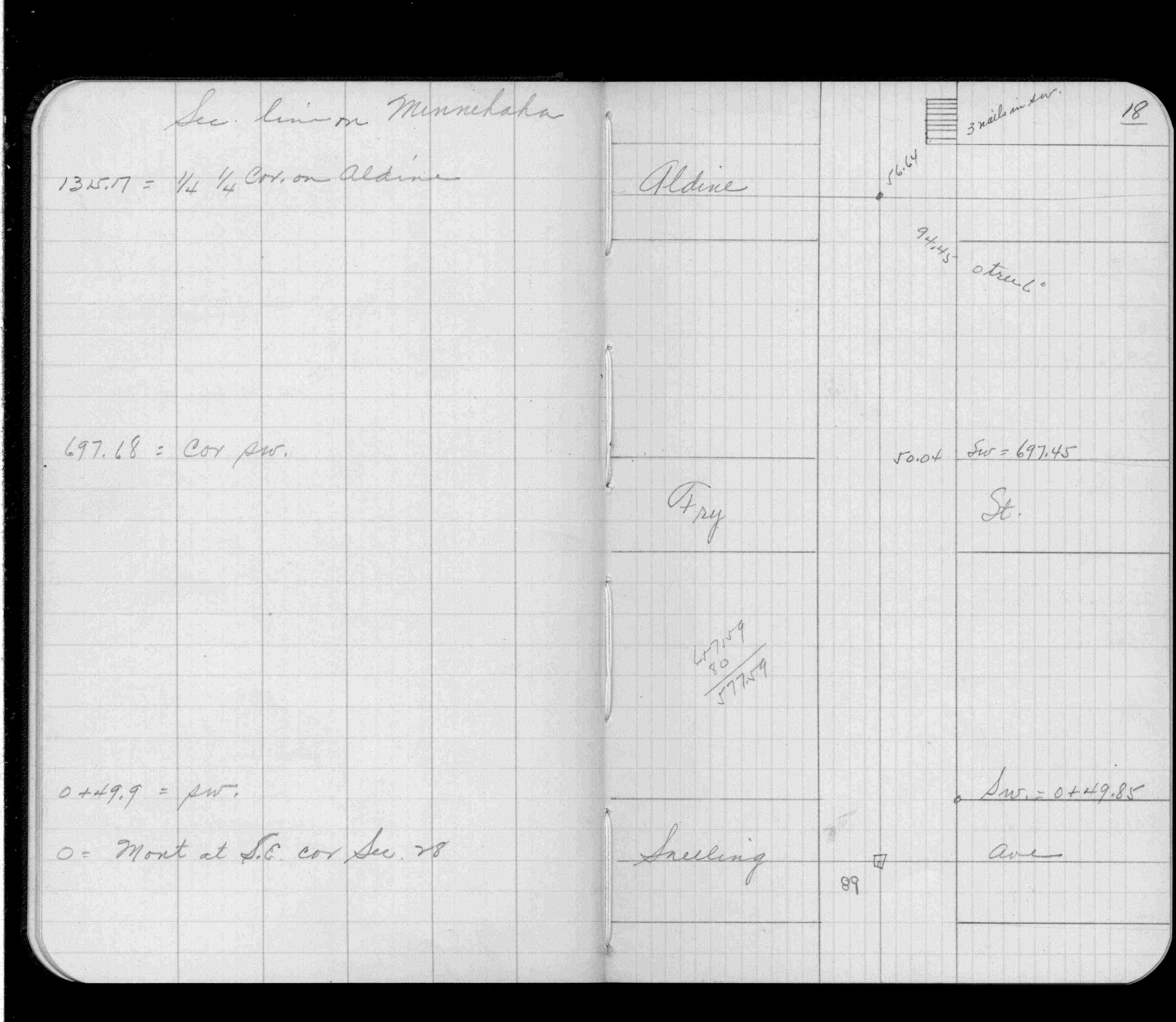
| IH p.090-091 | FB 0197p. 05 ,65 | |||||
| FB 0335CPYp. 01 ,18 | ||||||
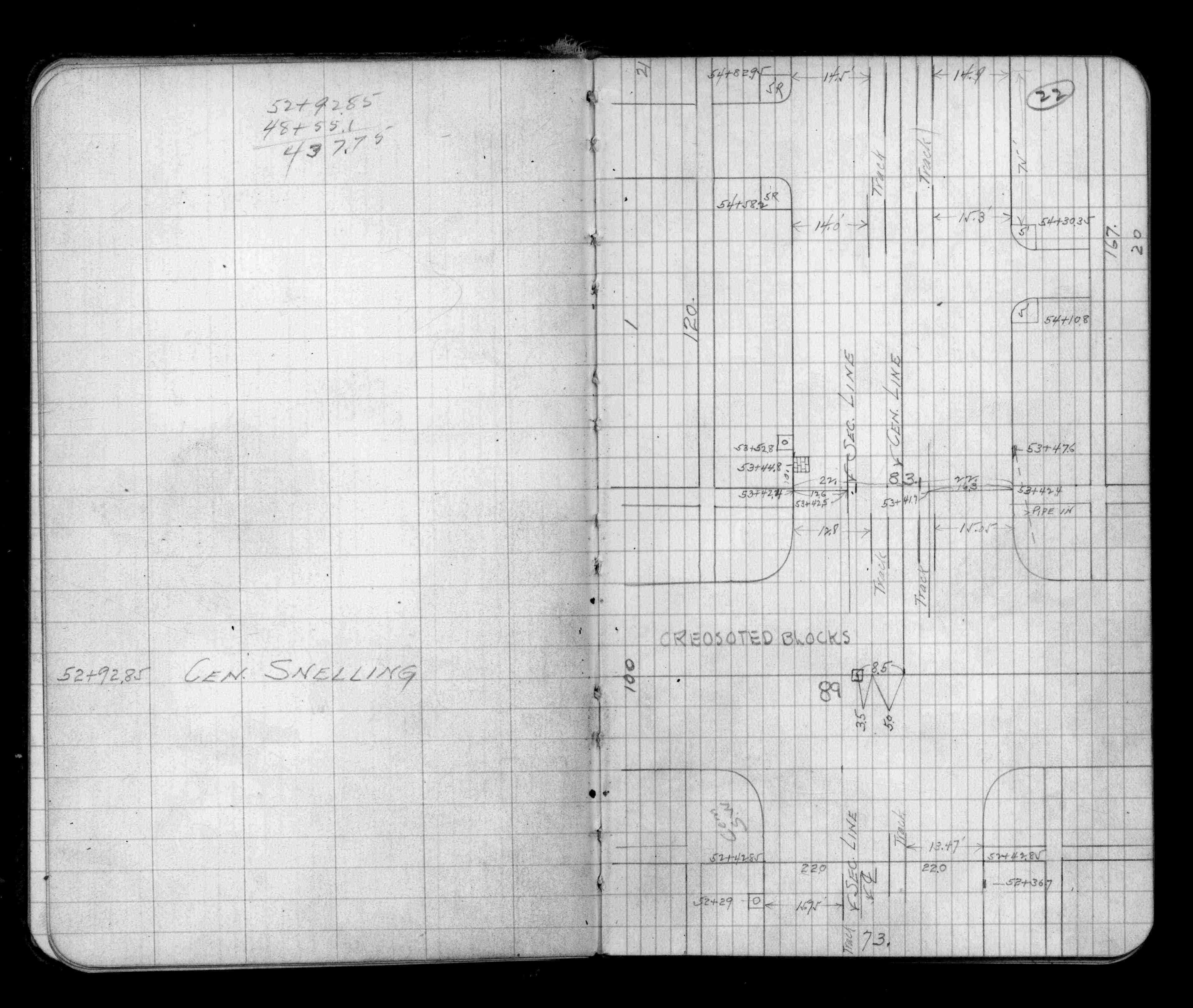
| FB 0345p.19 | ||||||
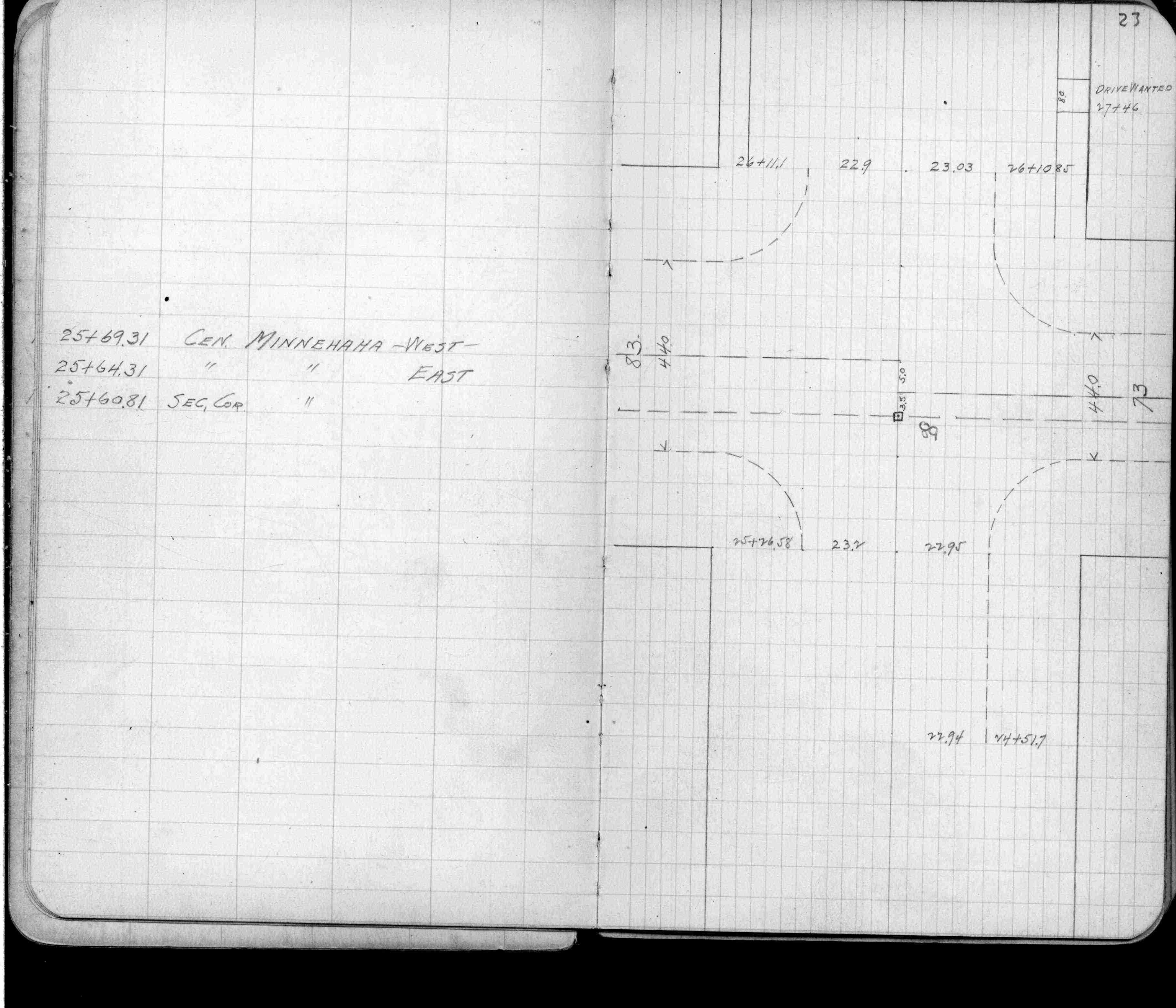
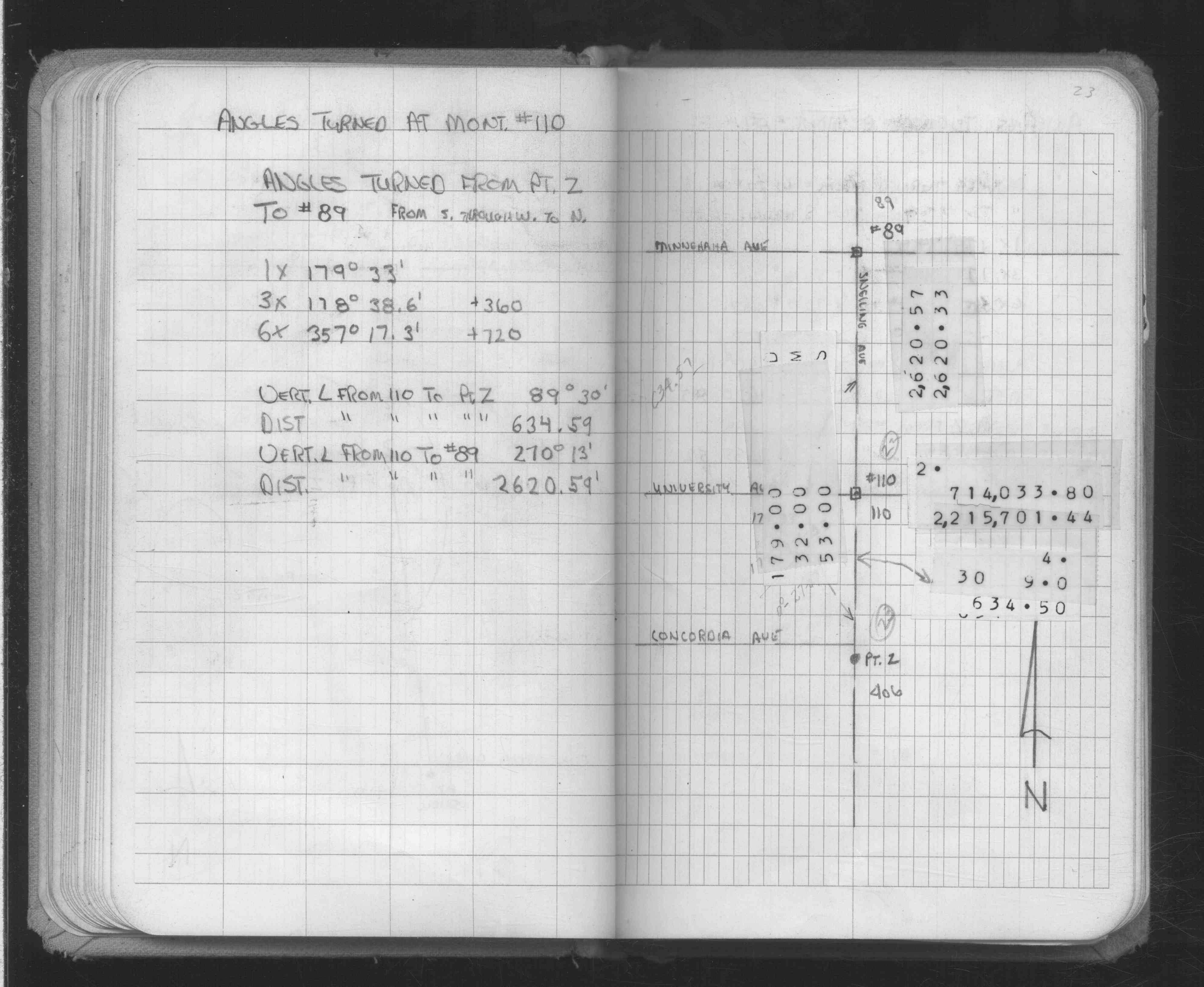
| FB 0727p.23 | ||||||
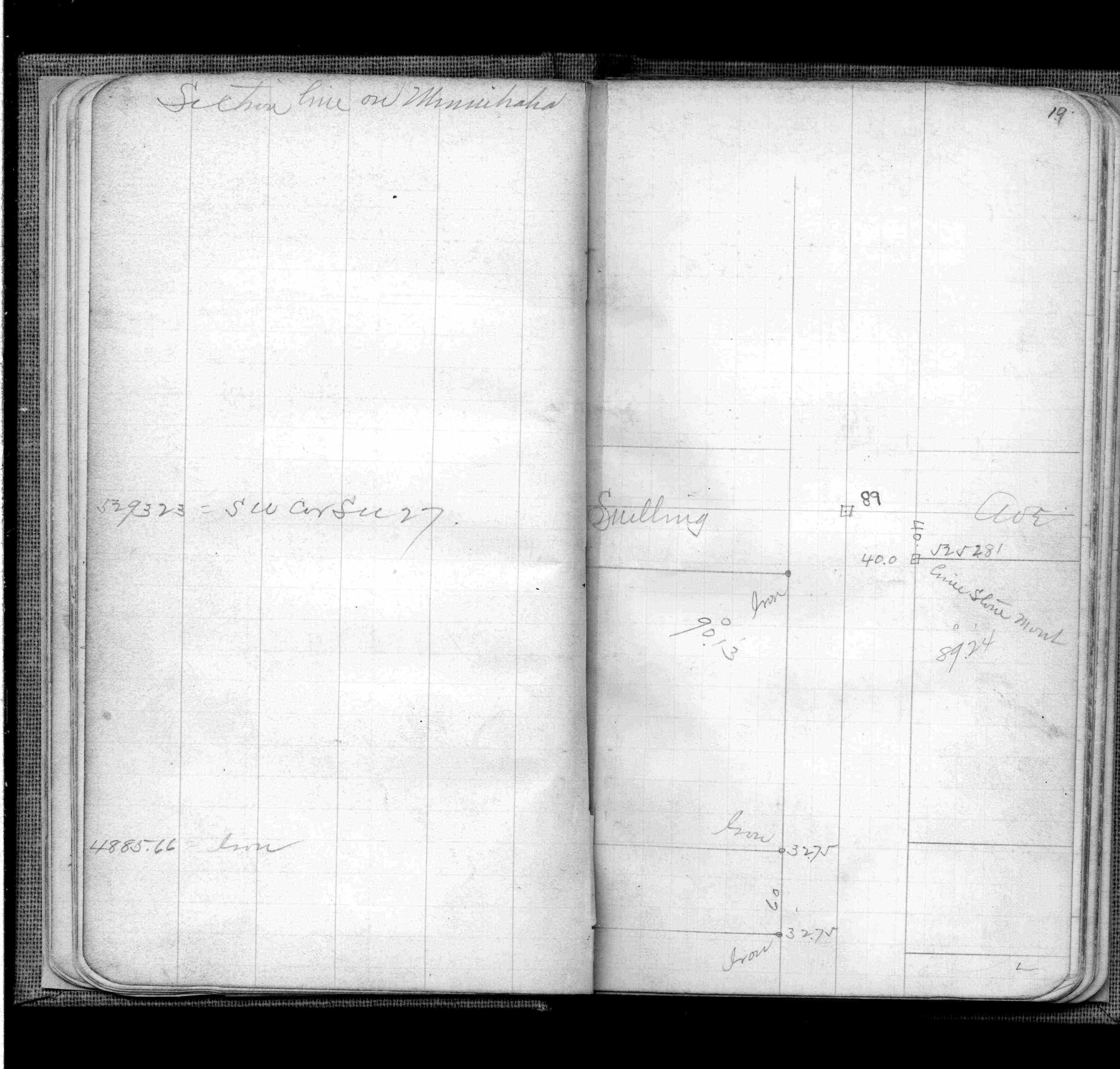
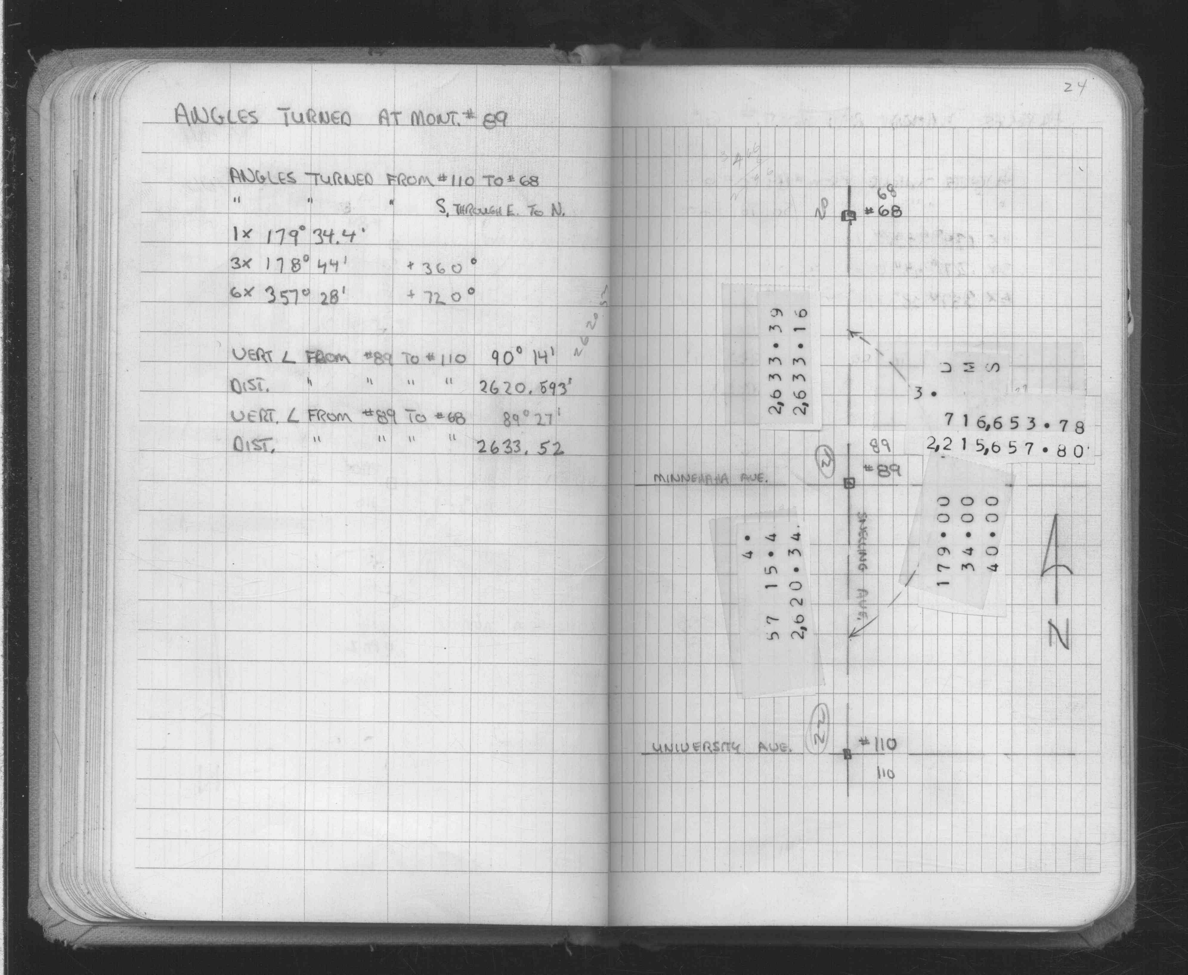
| FB 0875p.22 | ||||||
| FB 1421Ap.71 | ||||||
| FB 1549Gp.79 | ||||||
| FB 1549Hp.38 | ||||||
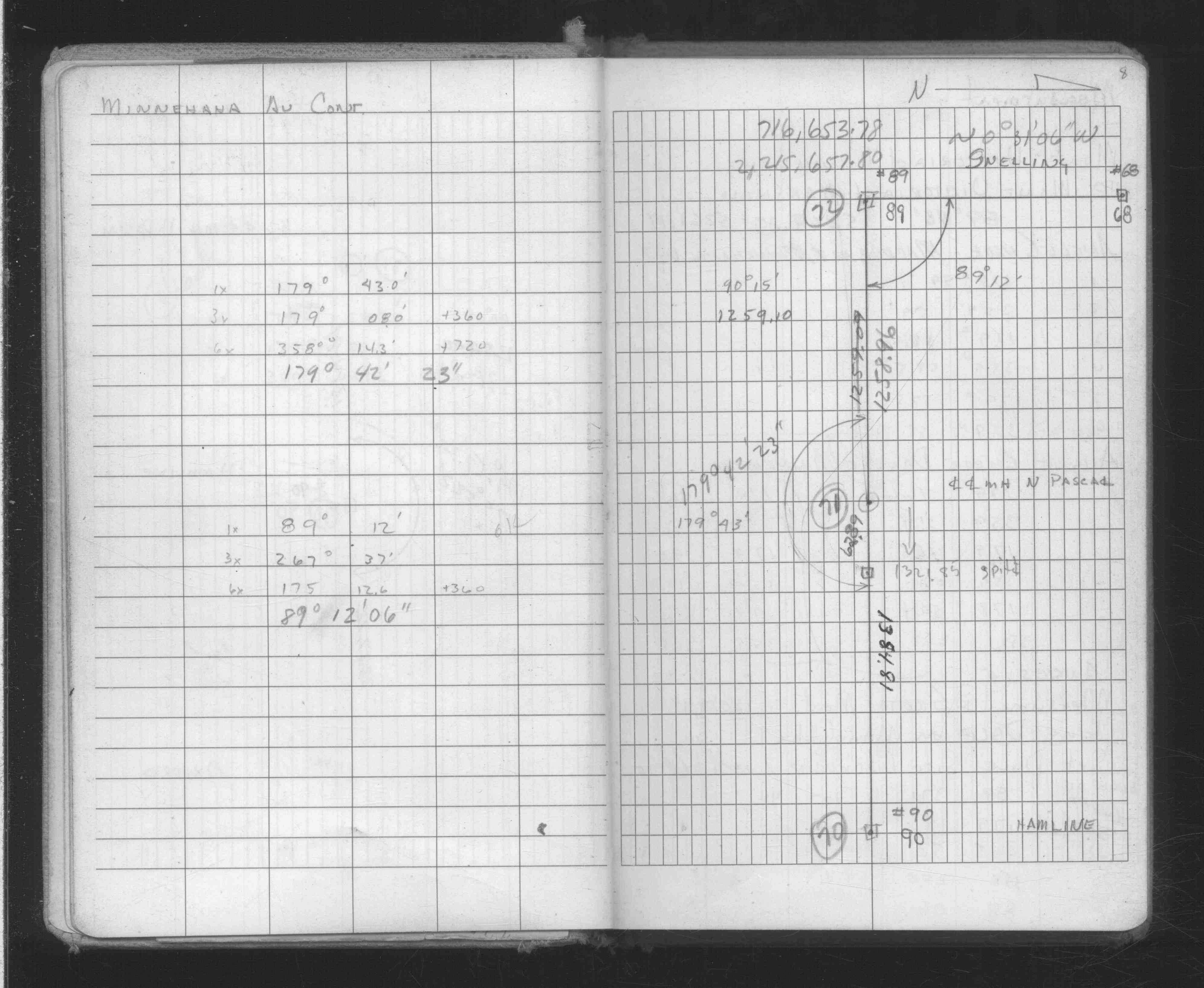
| FB 1634Ap. 23 ,24 ,25 ,60 | ||||||
| FB 1634Bp. 17 ,18 ,19 | ||||||
| FB 1634Dp.08 | ||||||
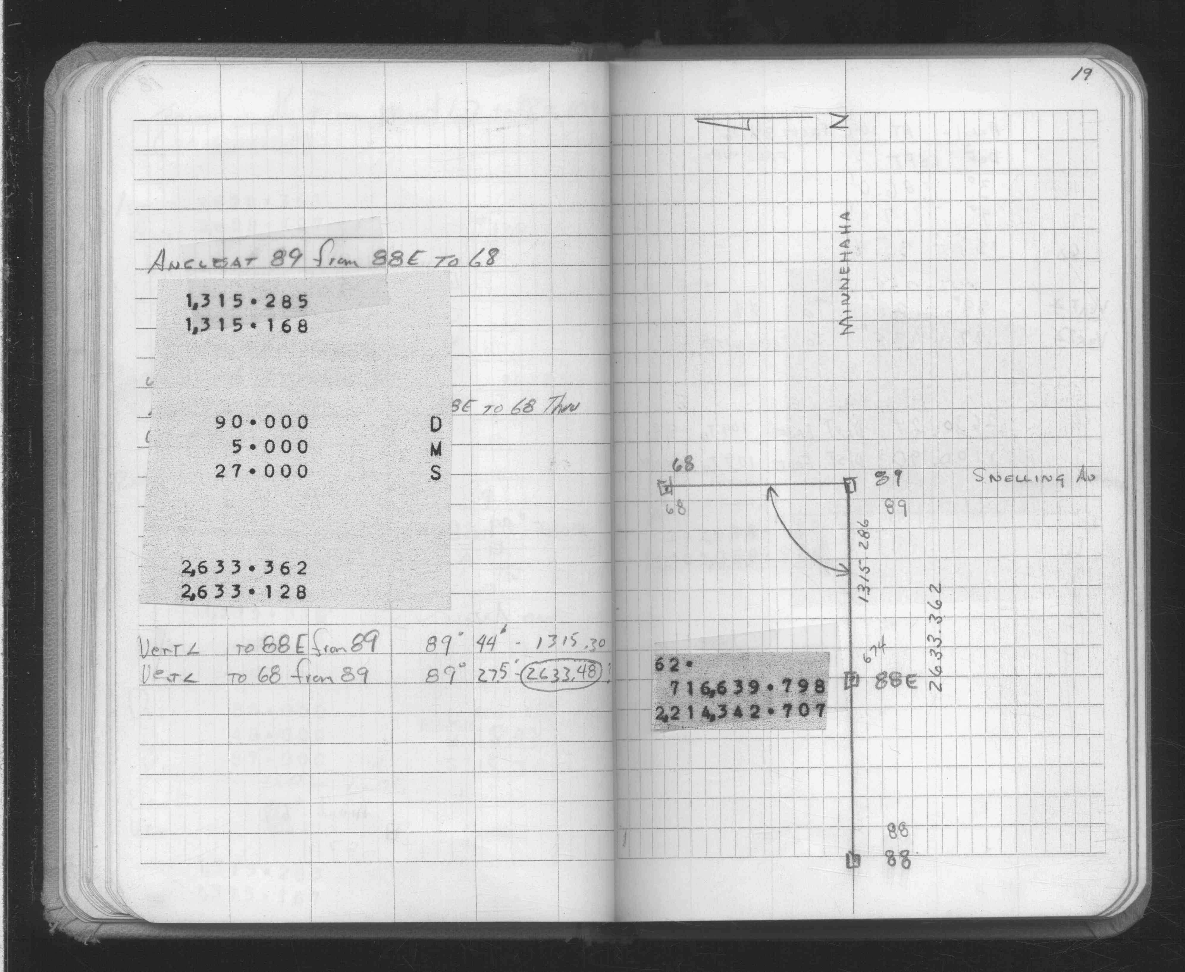
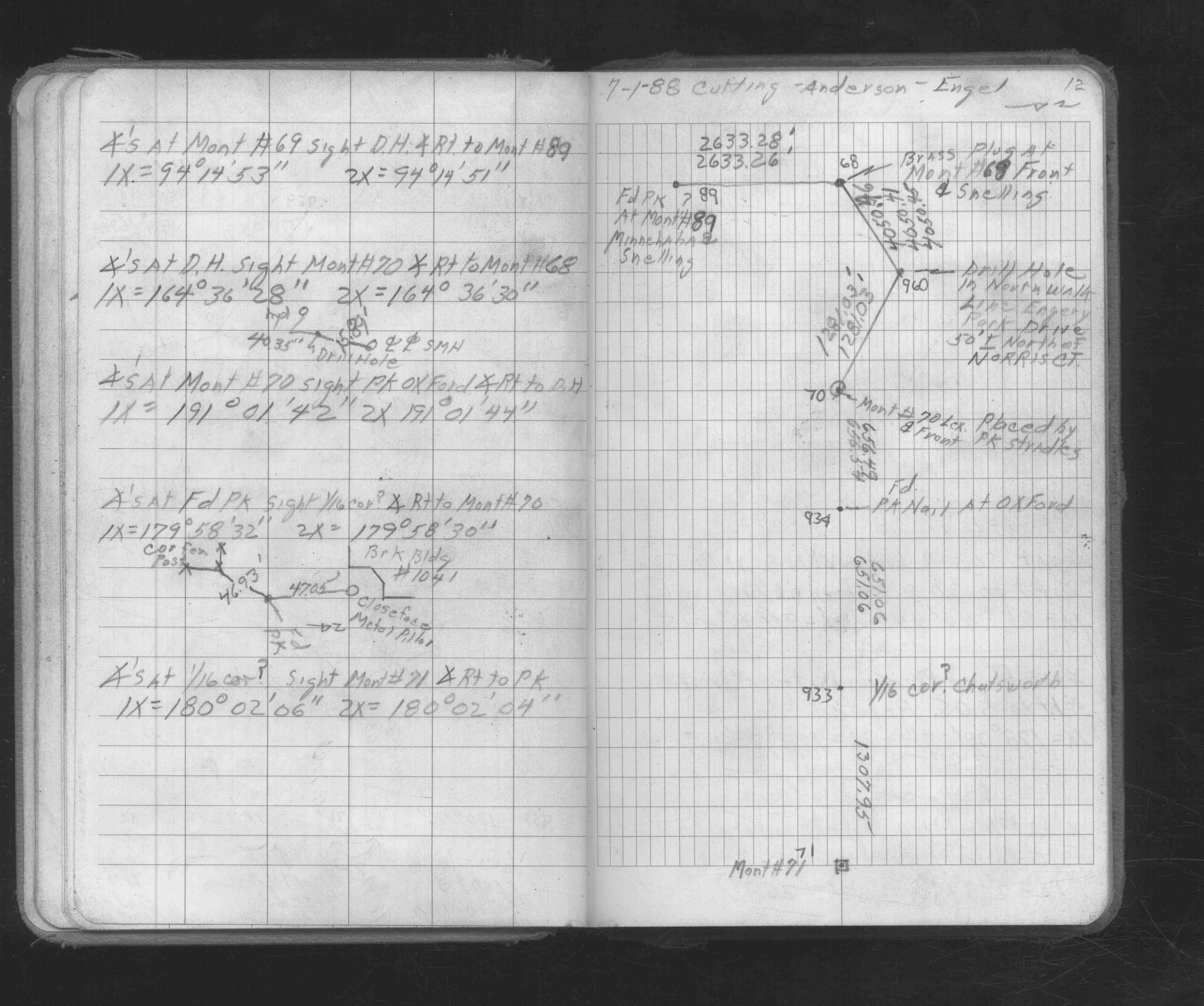
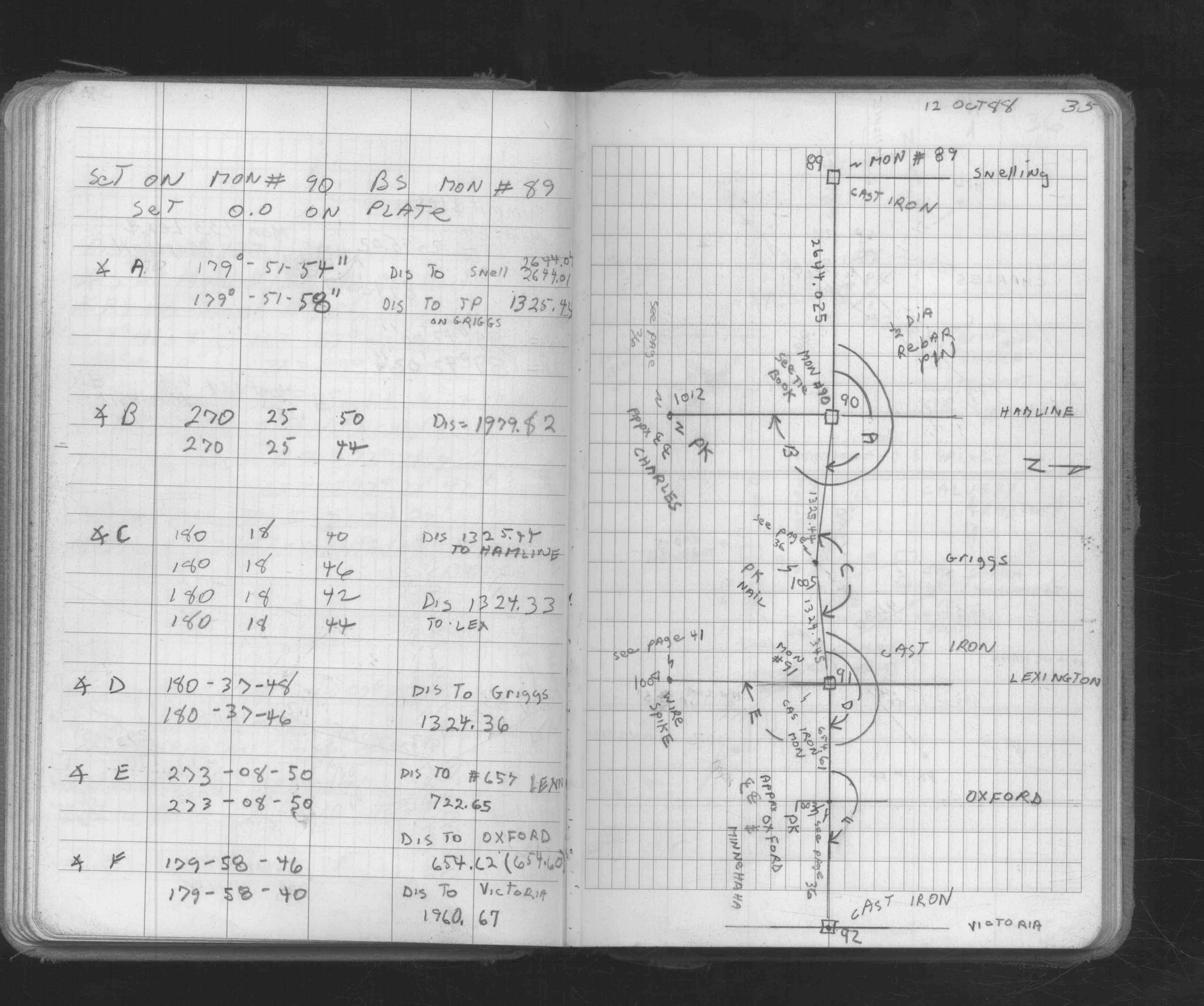
| FB 1673Ap. 12 ,35 ,41 | ||||||
| FB 1676Bp.45 | ||||||
| FB 1686p.45 | ||||||
| FB 1689Bp.54 | ||||||
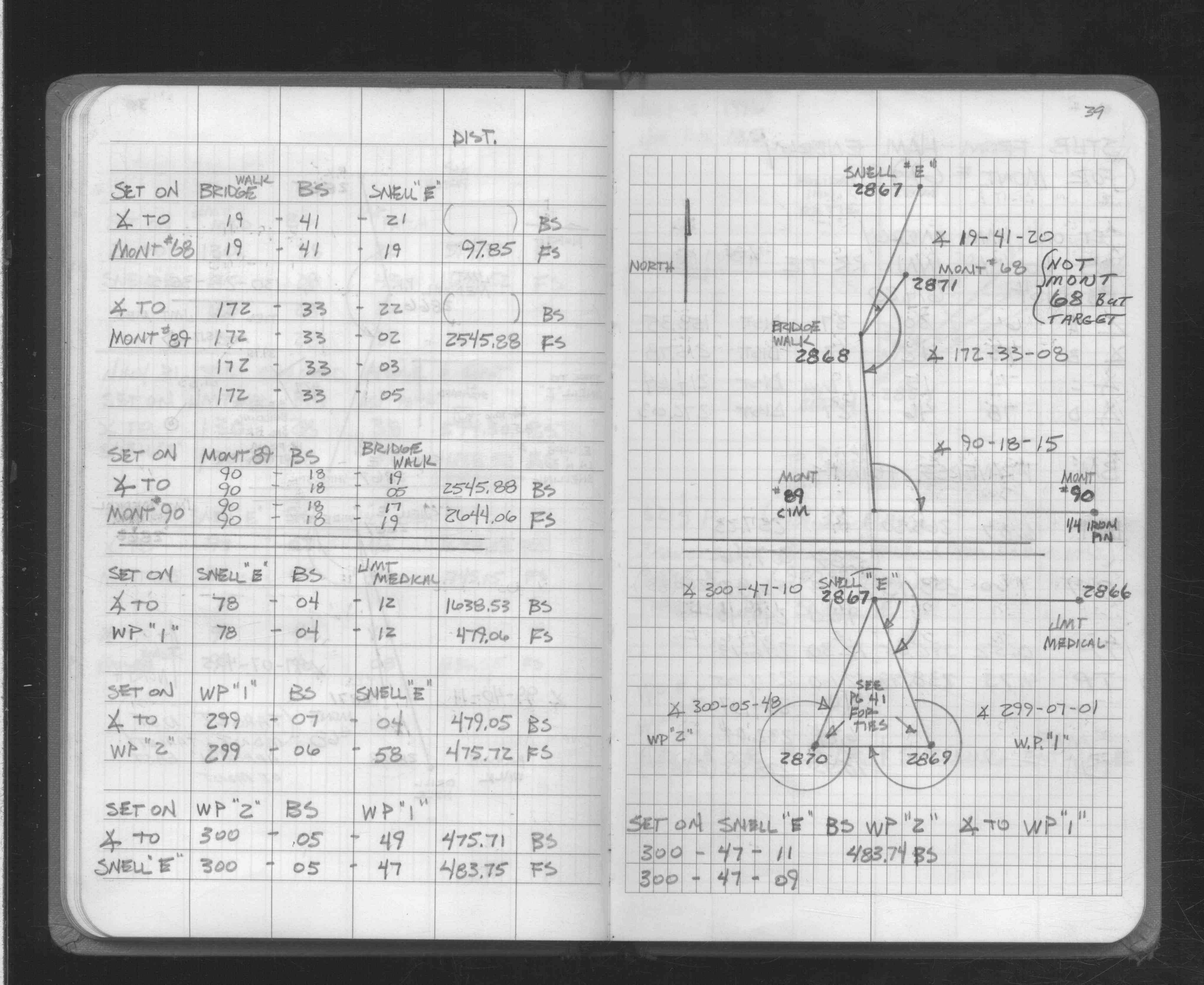
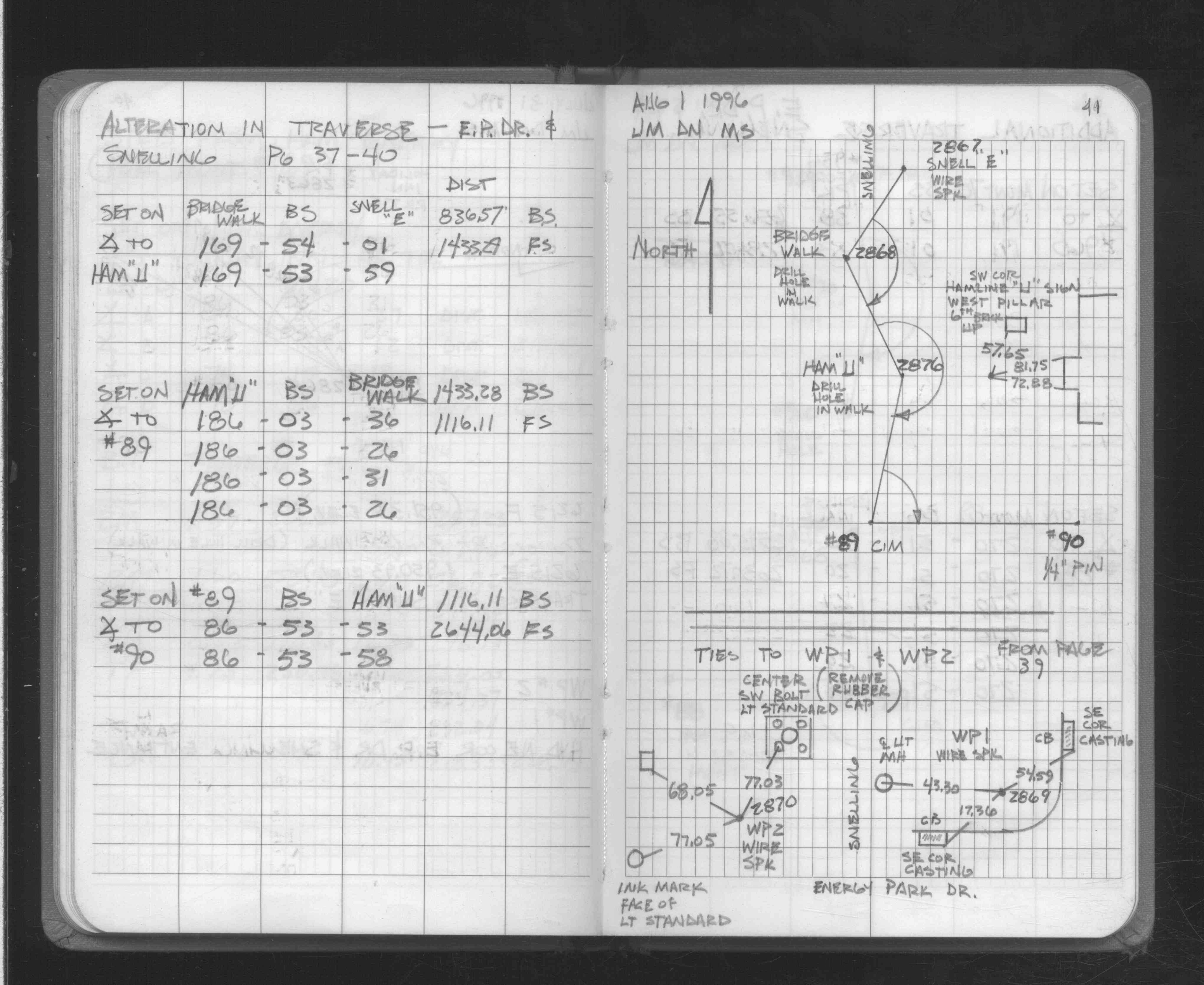
| FB 1706Ap. 39 ,41 ,42 | ||||||
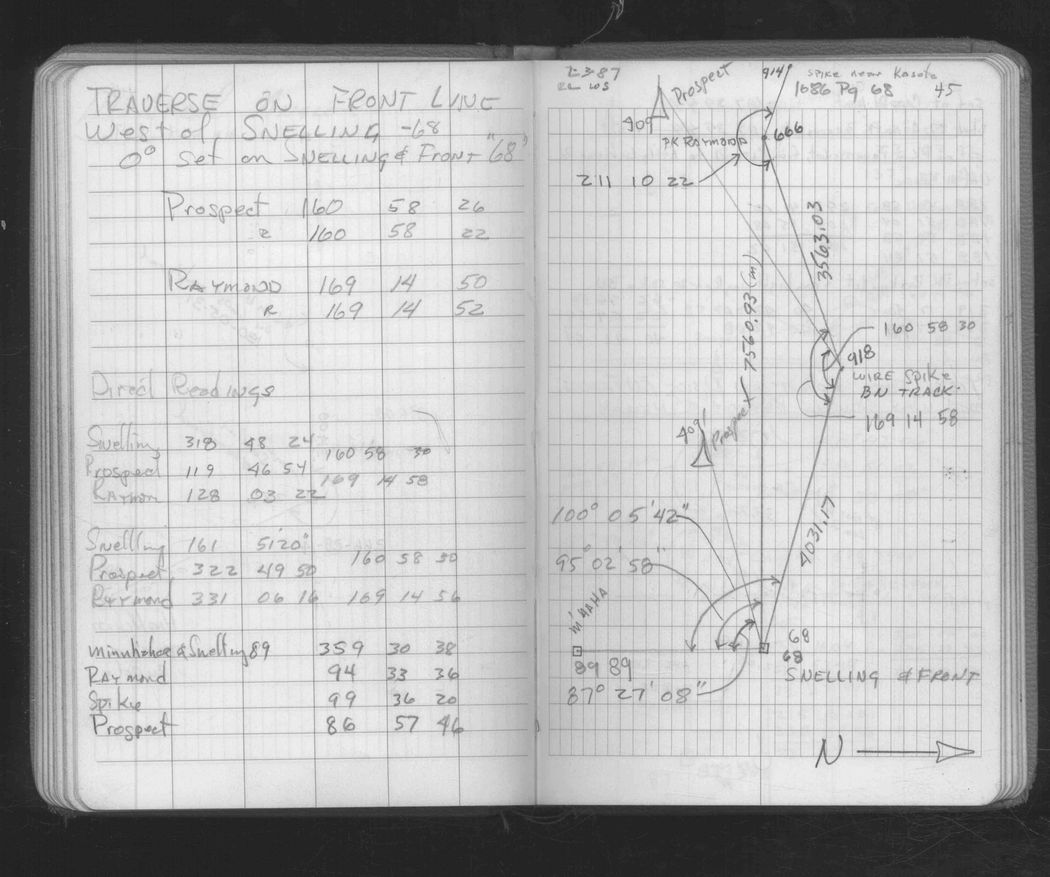
| FB 1721p.51 | ||||||
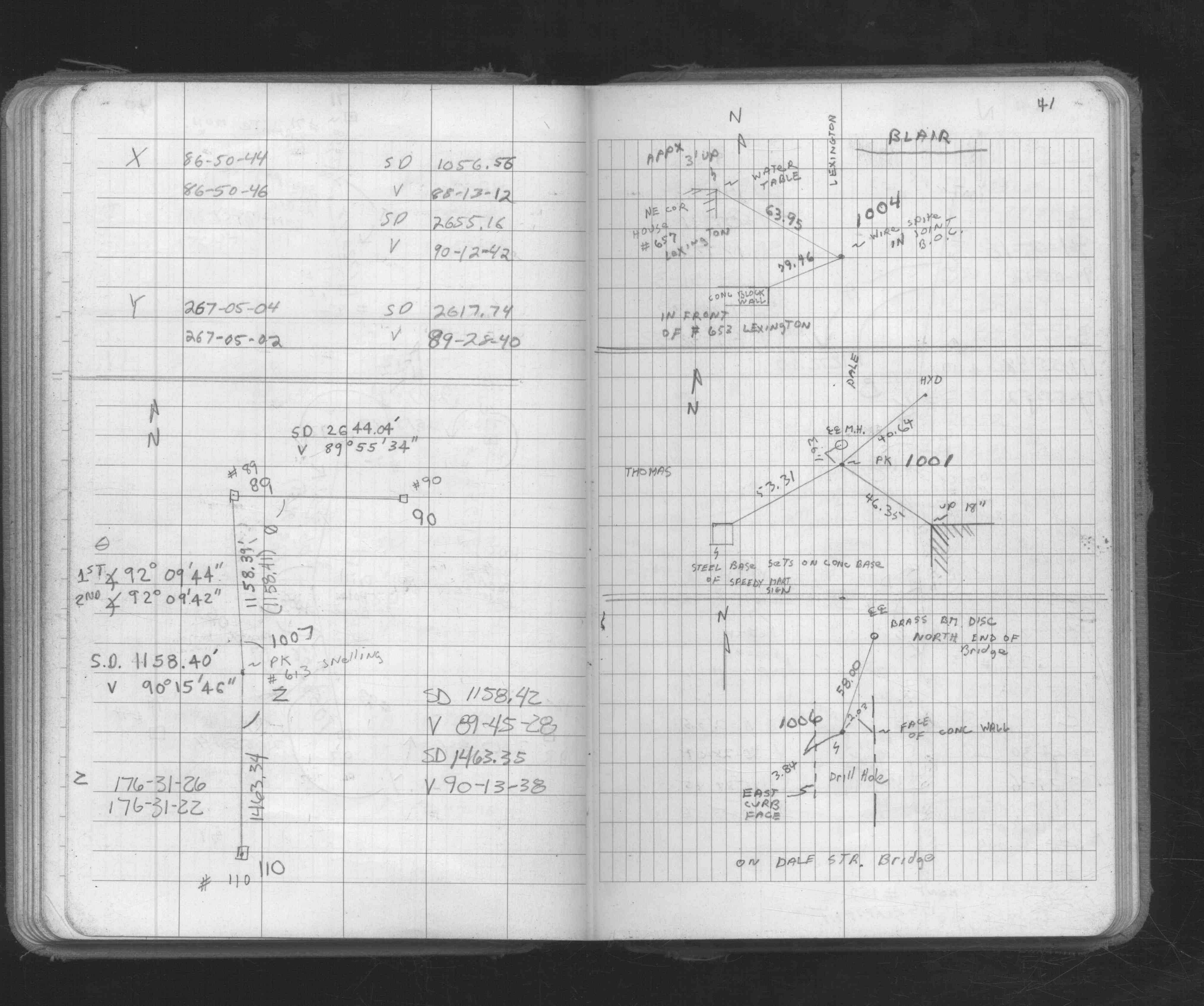
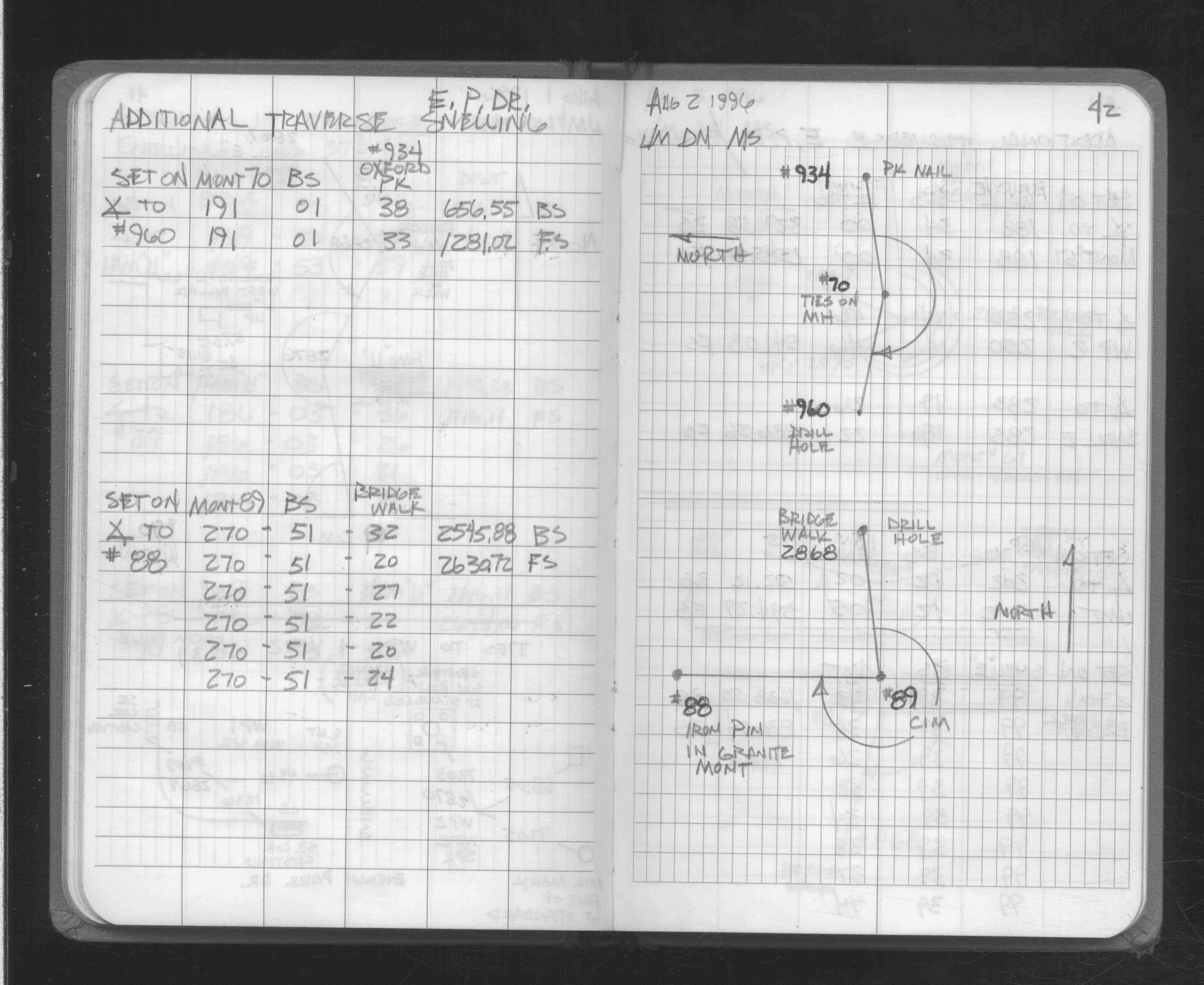
| FB 1734Ap.54 | ||||||
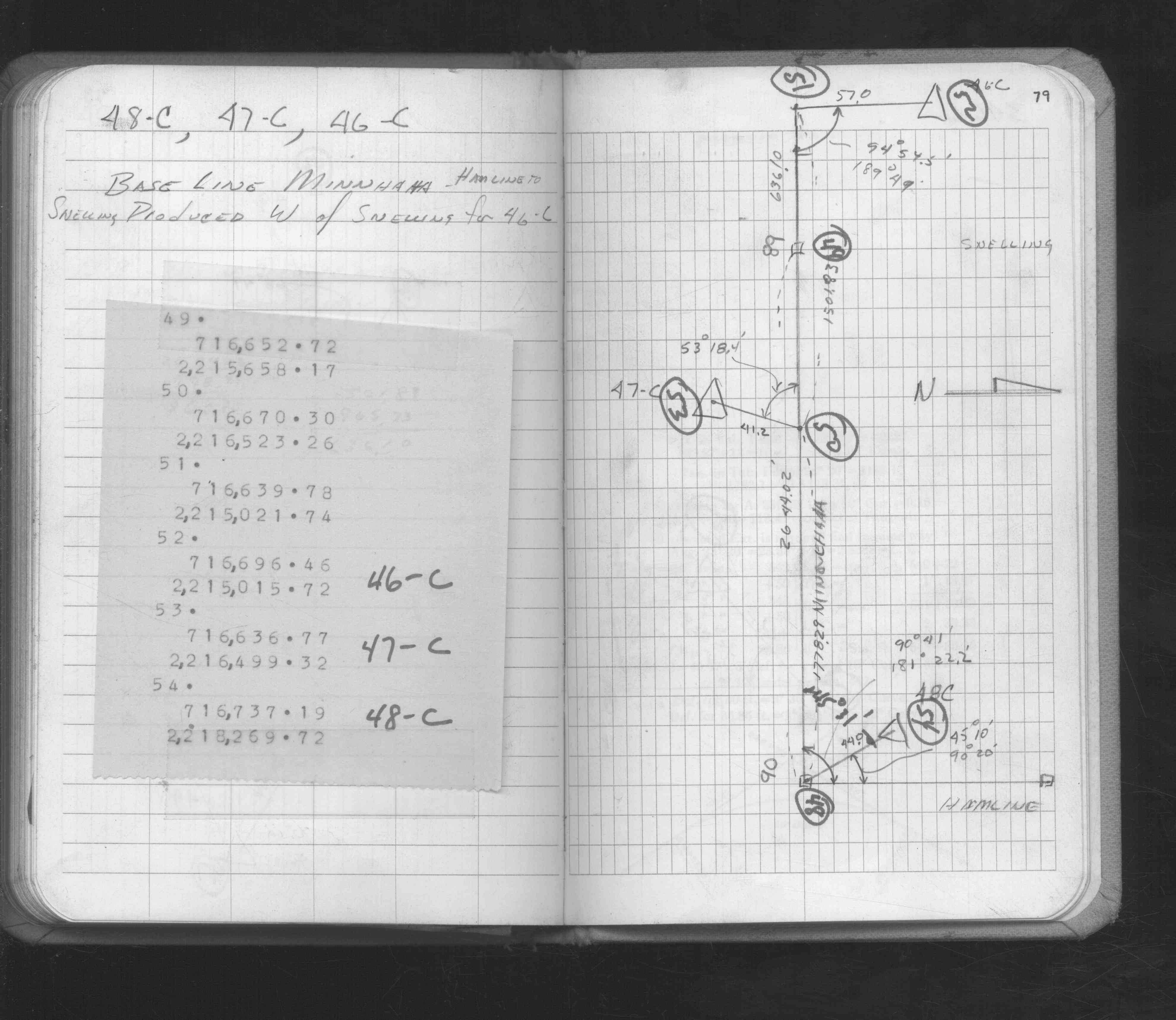
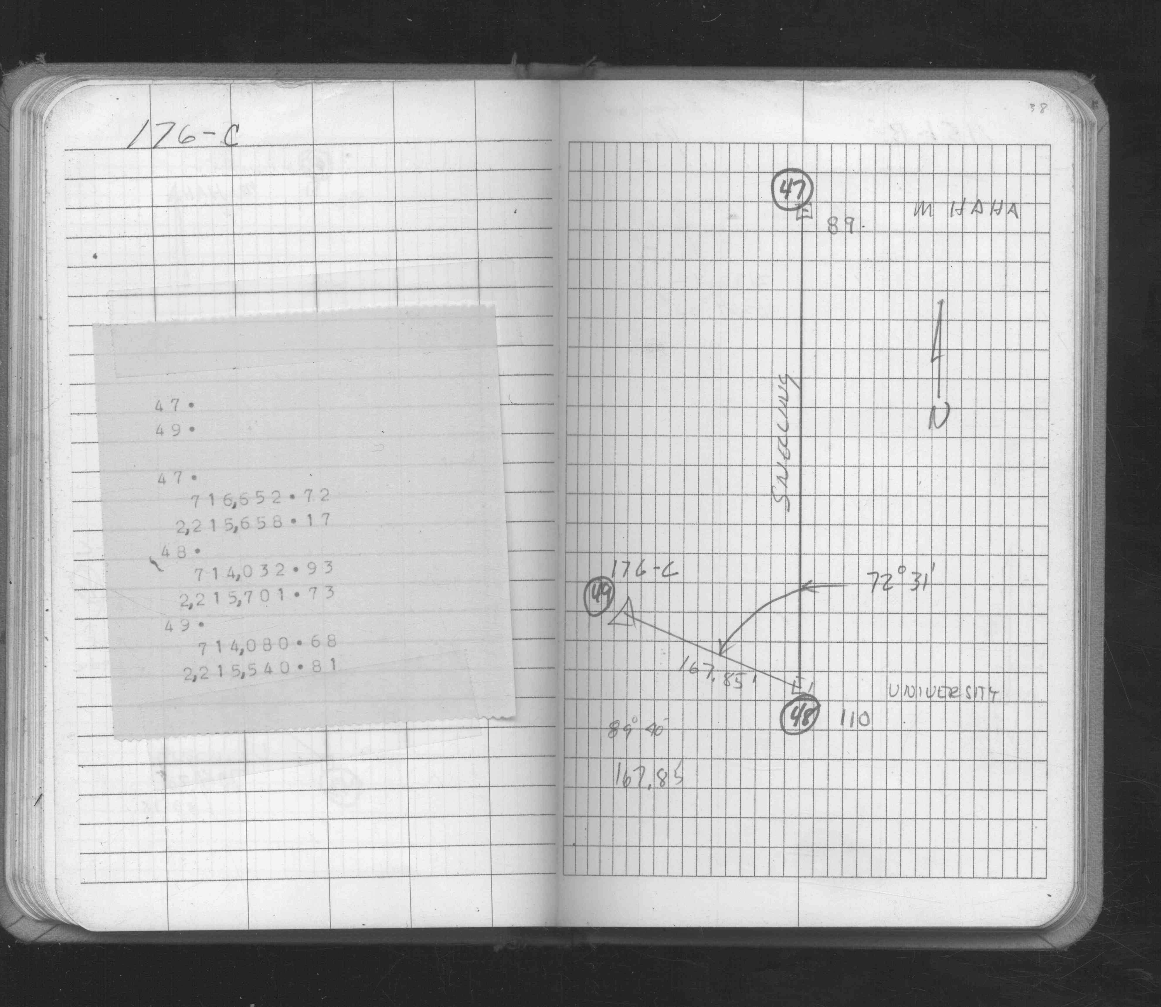
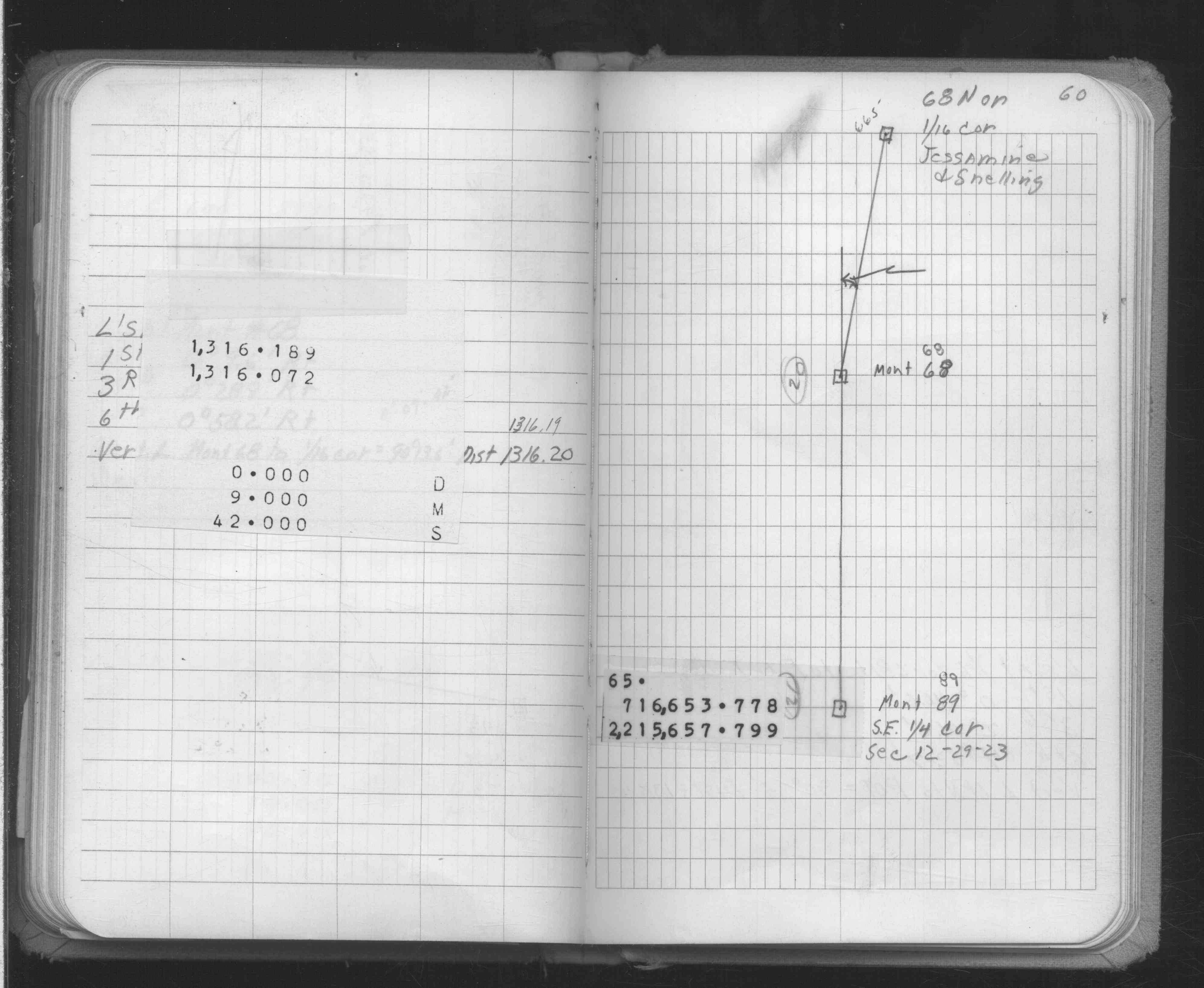
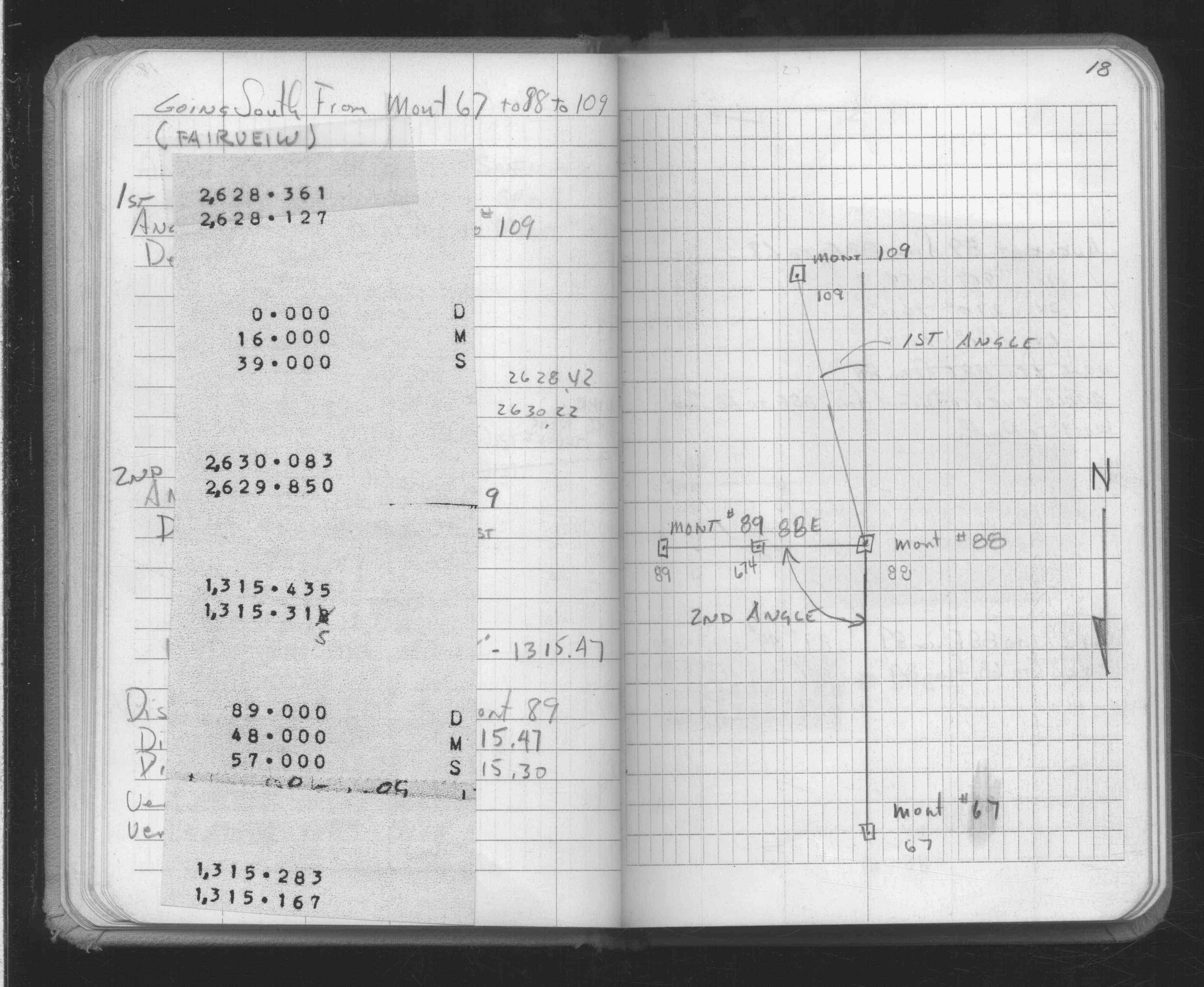
| FB 1736p.27 |
| FILE | SURVEYOR | LIC. NO. | DATE SIGNED | DATE TIED |
|---|---|---|---|---|
| 0089-0969-A.tif | William J. Cutting | 20576 | August 5, 1991 | August 1, 1991 |
| ST_079-156p089.jpg | none | none | none | none |
| 0089-0969-A.dwf | none | none | none | none |
| FILE | PHOTO DATE | COMMENTS |
|---|---|---|
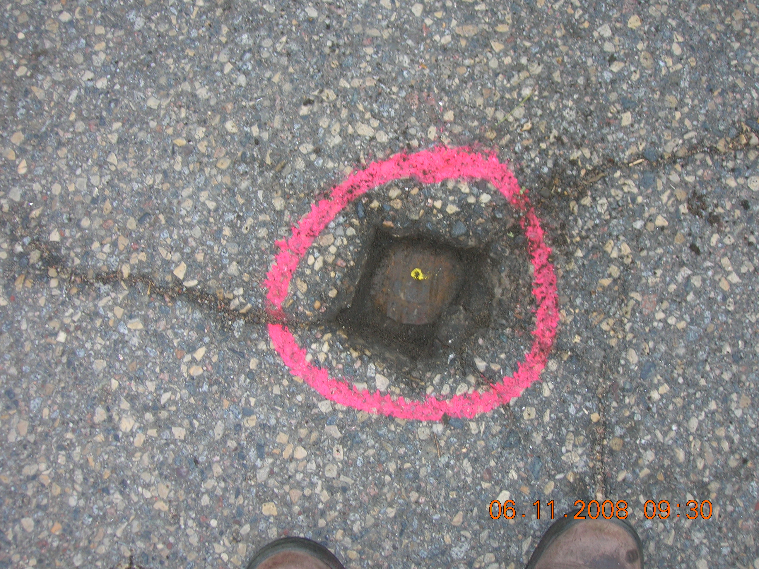
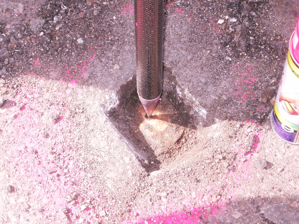
| 0089-0969-11.jpg | June 11, 2008 | Tight close-up of CIM less than .1' below grade. |
| 0089-0969-10.jpg | June 11, 2008 | Close-up of CIM less than .1' below grade. |
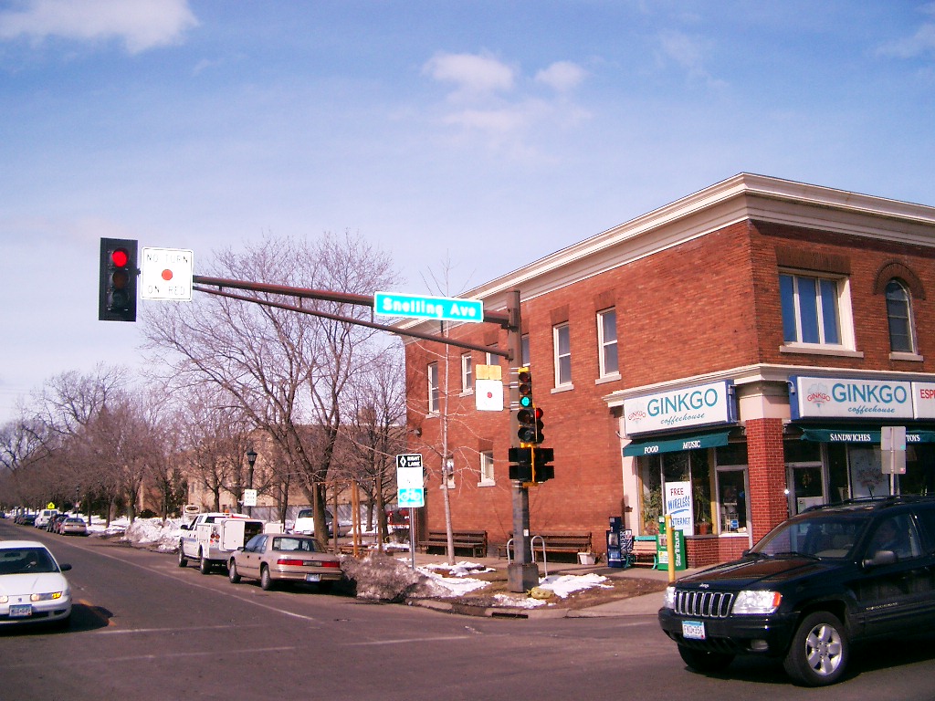
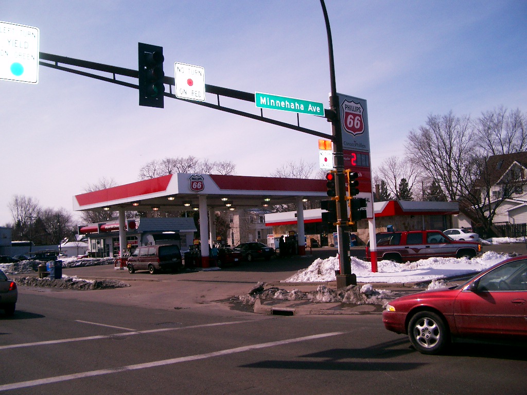
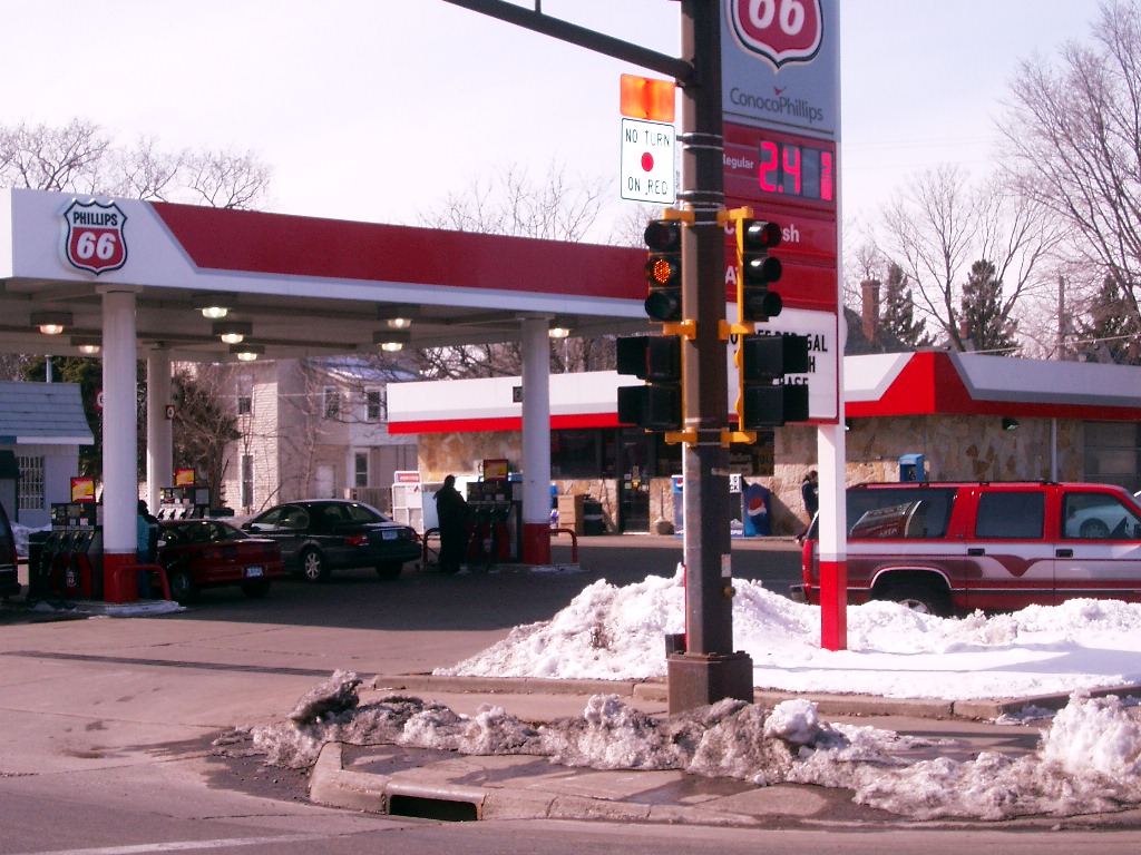
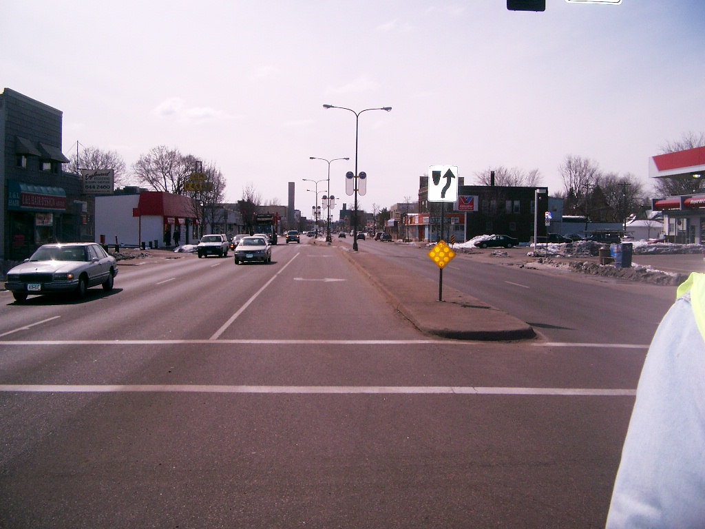
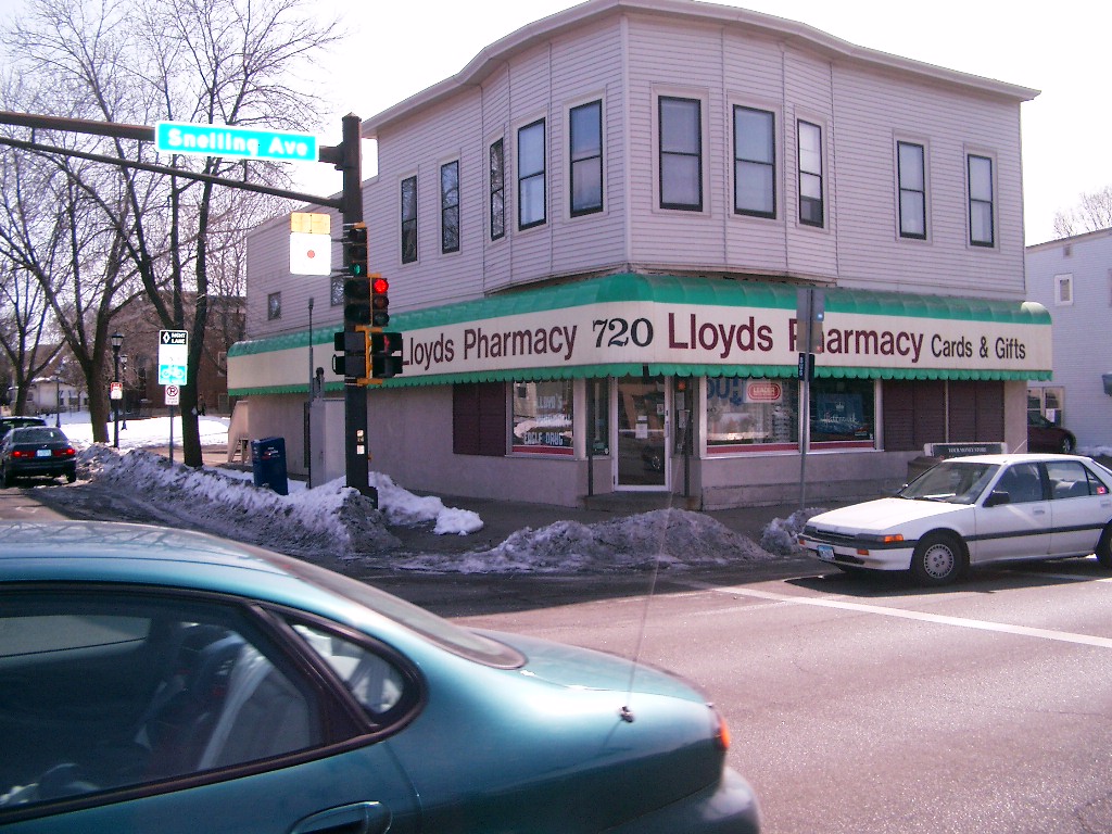
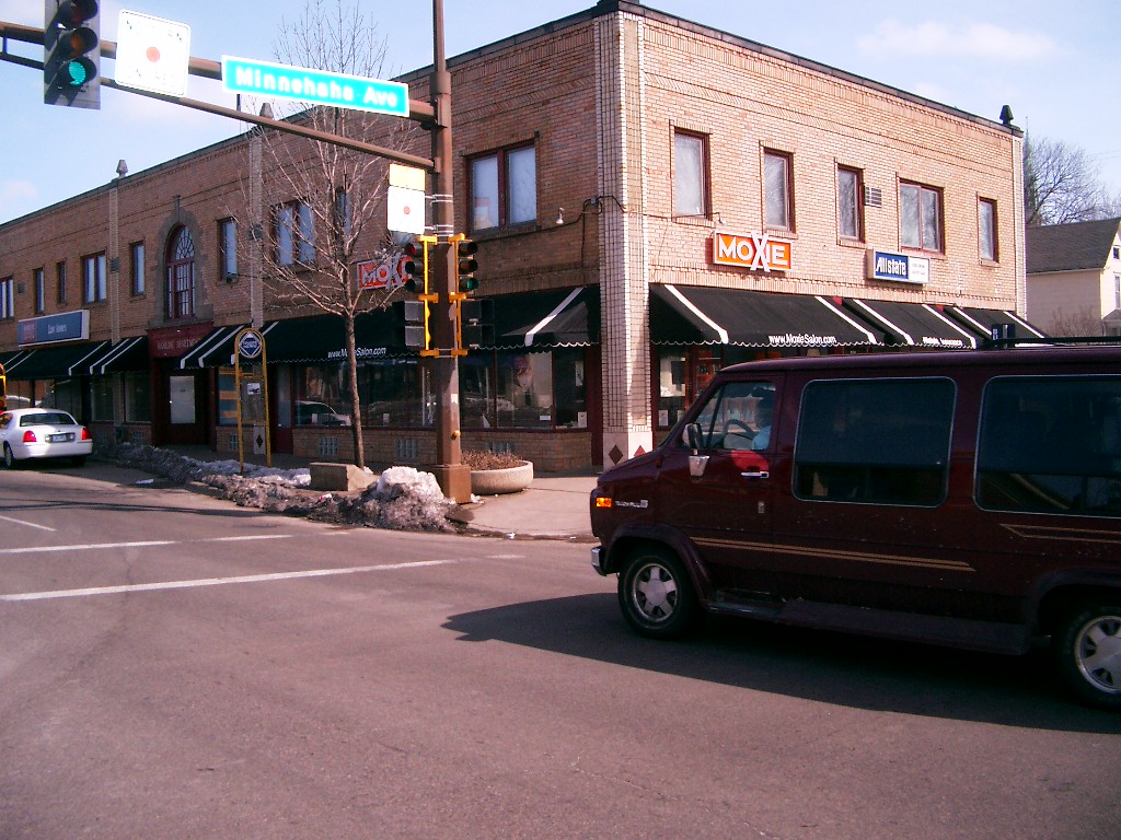
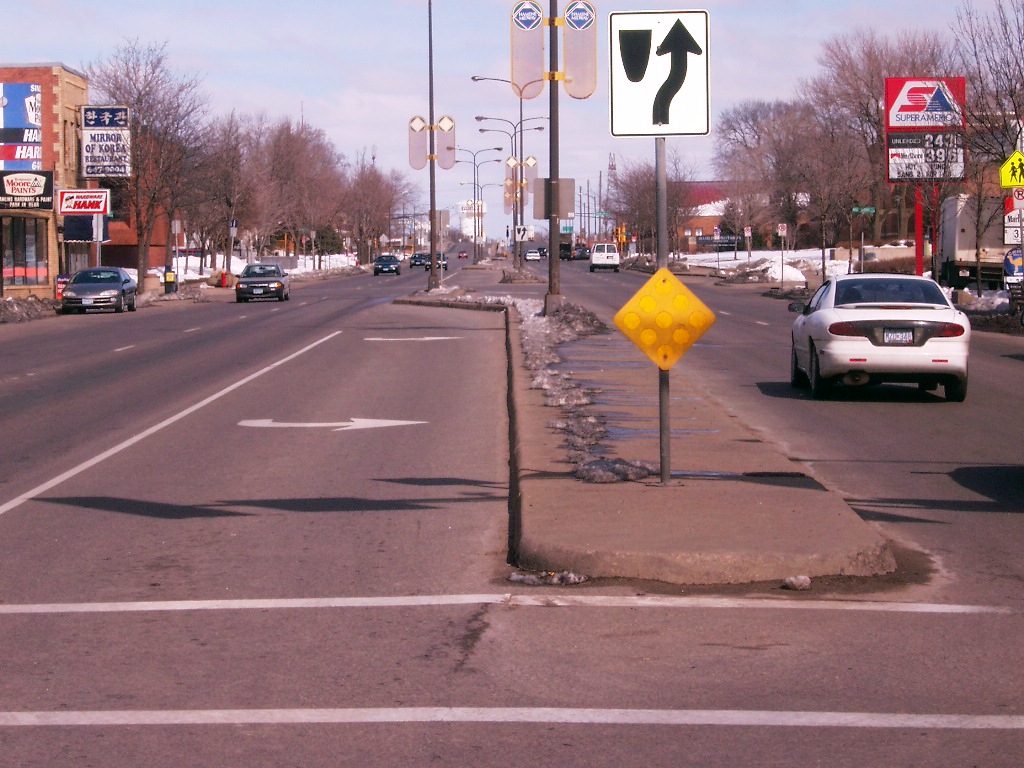
| 0089-0969-9.jpg | March 21, 2006 | Looking Northwest at Snelling Ave. & Minnehaha Ave. |
| 0089-0969-8.jpg | March 21, 2006 | Looking Southwest at Snelling Ave. & Minnehaha Ave. |
| 0089-0969-7.jpg | March 21, 2006 | Looking Southwest at Snelling Ave. & Minnehaha Ave. |
| 0089-0969-6.jpg | March 21, 2006 | Looking South along Snelling Ave. at Minnehaha Ave. |
| 0089-0969-5.jpg | March 21, 2006 | Looking Southeast at Snelling Ave. & Minnehaha Ave. |
| 0089-0969-4.jpg | March 21, 2006 | Looking Northeast at Snelling Ave. & Minnehaha Ave. |
| 0089-0969-3.jpg | March 21, 2006 | Looking North along Snelling Ave. at Minnehaha Ave. |
| 0089-0969-1.jpg | March 21, 2006 | Close-up of the cast iron monument below the asphalt. |