| NAD83 COORDINATES (1986 adj.): |
|---|
| * X= 571813.28 Y= 162798.96 Z= 0 LSQ 12/6/1991 S FIX |
| 4/16/2002 | Fd GM. Photos taken. |
| 10/18/2001 | GM found tipped to the SE, GM repositioned using bridge pier ties, additional ties made. See CofL 0095-0061-A |
| 1/22/2001 | Ron Meyer of RC Surveyor's Office determined GM was tipped approx 0.6 ft to the SE |
| 3/1/2000 | (Unknown date Mar __, 2000 ) Fd GM 0.75 ft above grade (placed fabric target for 2000 aerial) |
| 3/1/1987 | (Unknown date Mar __, 1987 ) Fd GM approx. 0.1 ft below ground level; below Rice St. bridge |
| 1/1/1985 | (Unknown date ___ __,1985 ) Historic, one time only GPS survey = S147 |
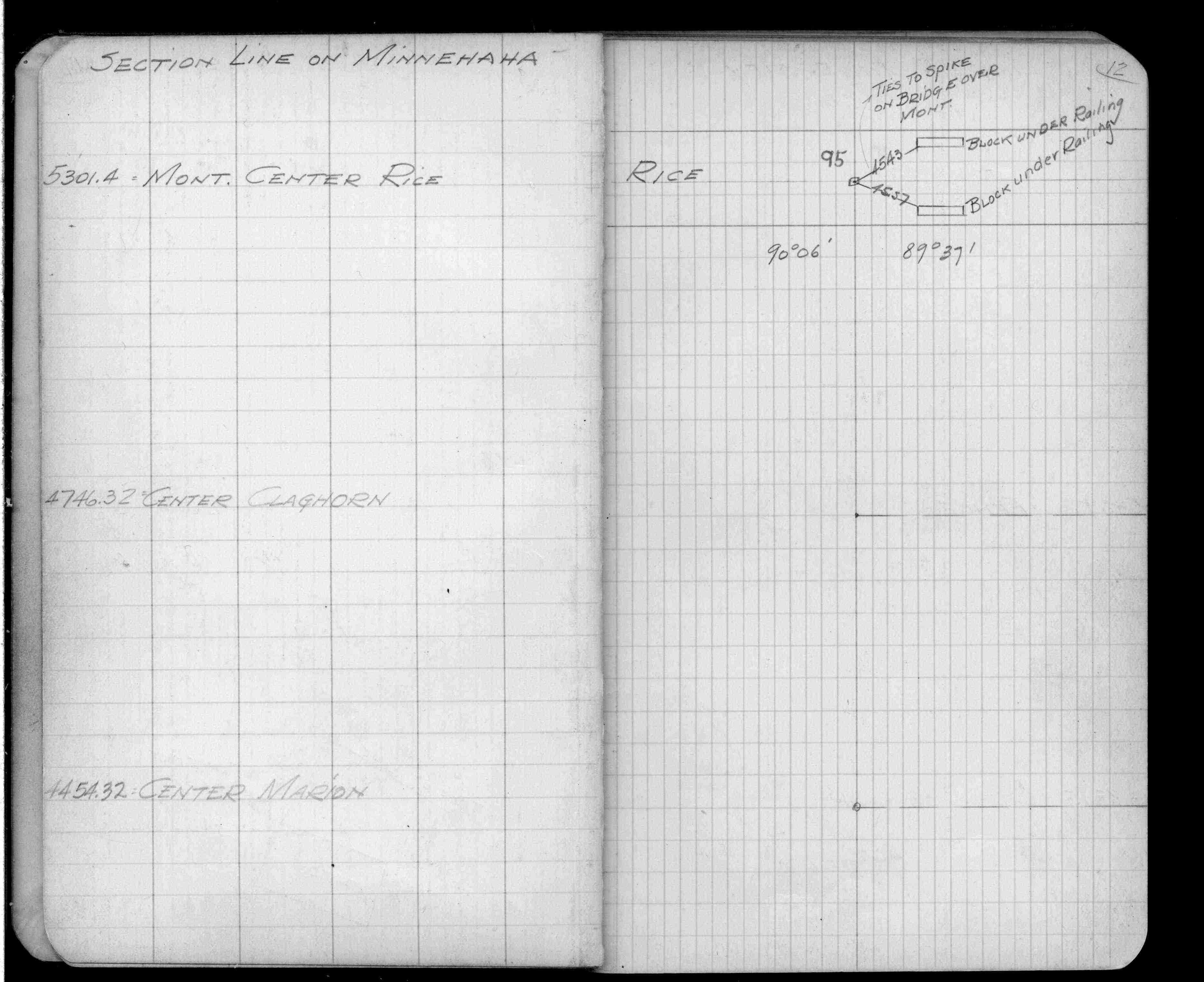
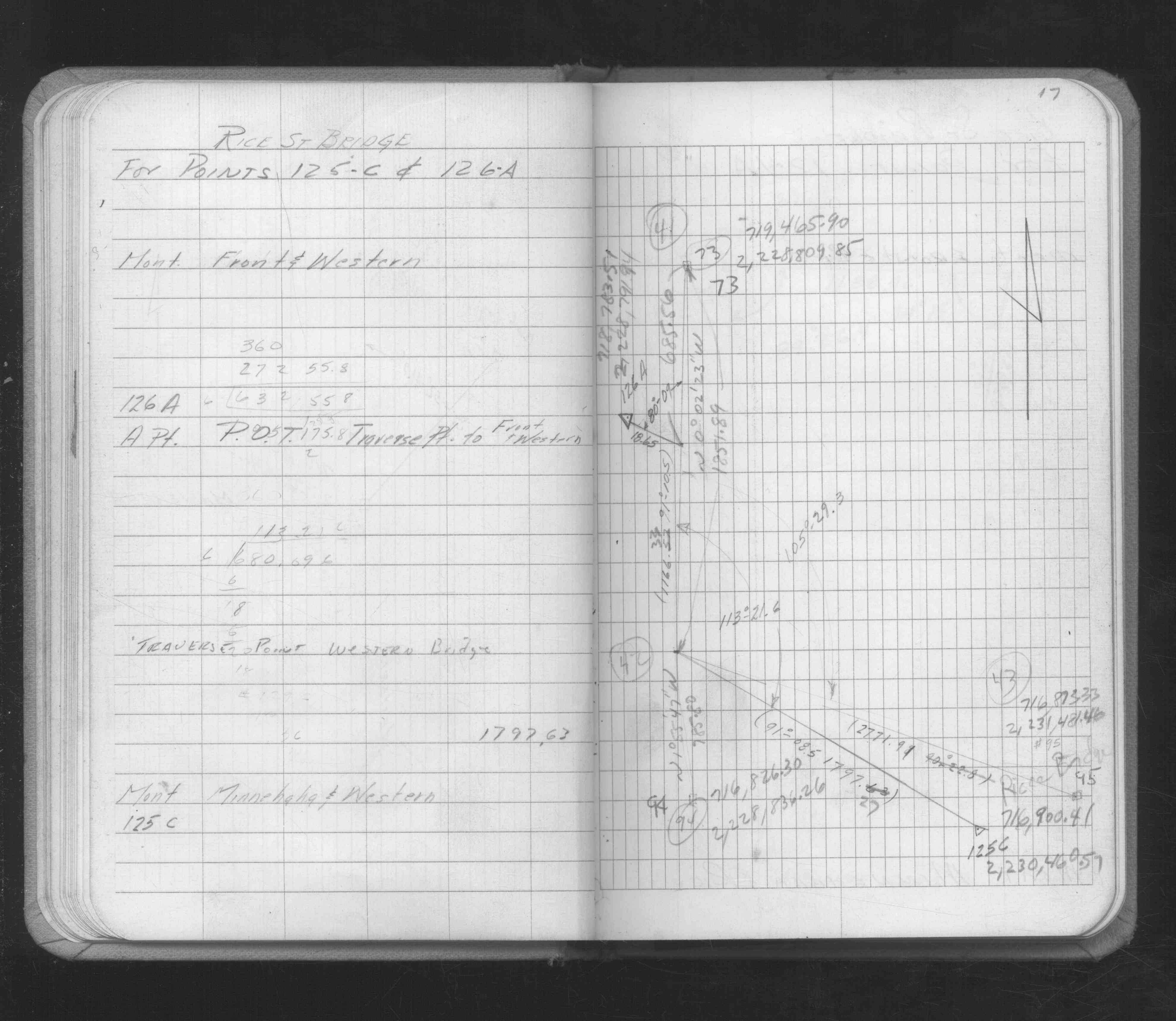
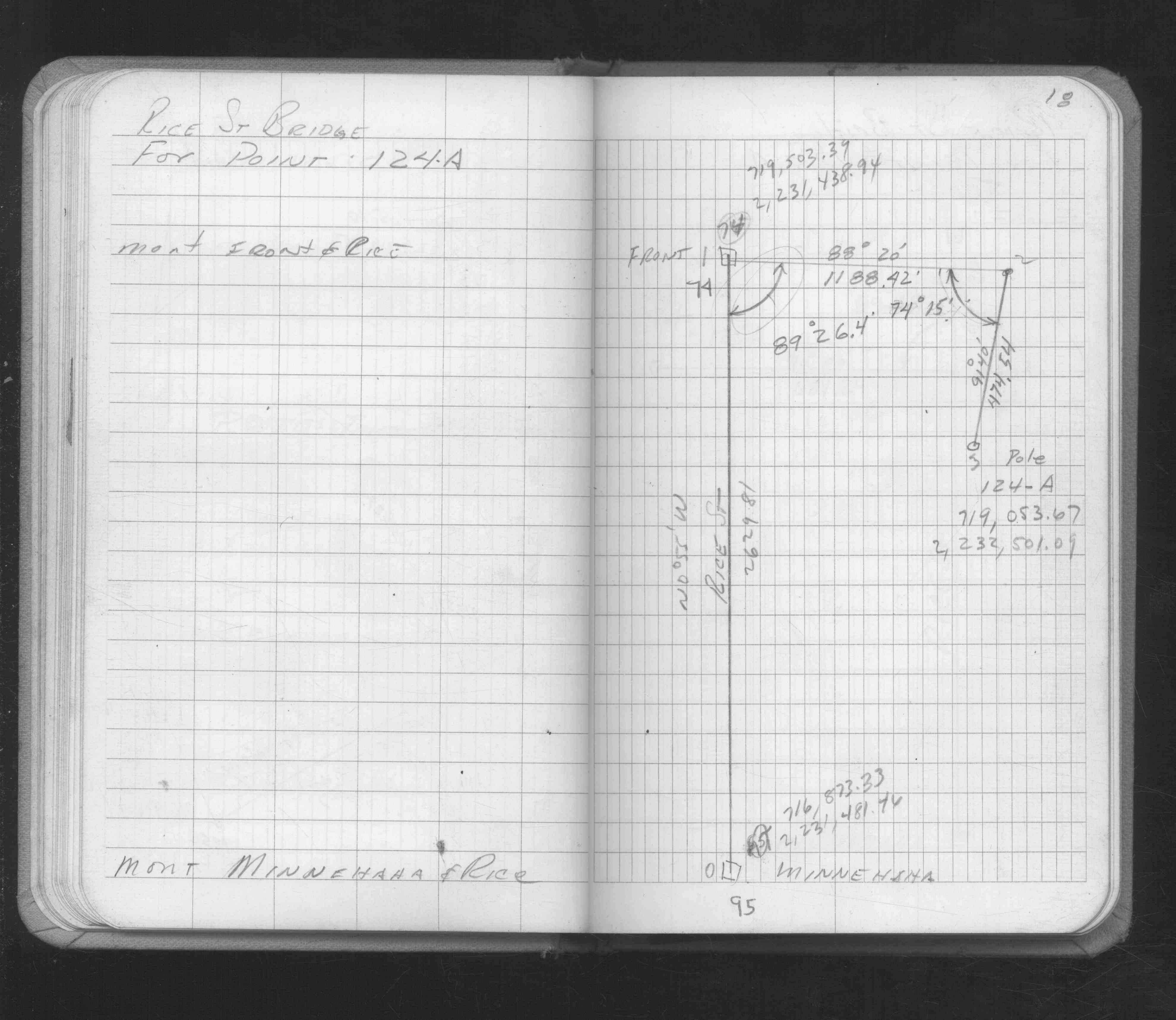
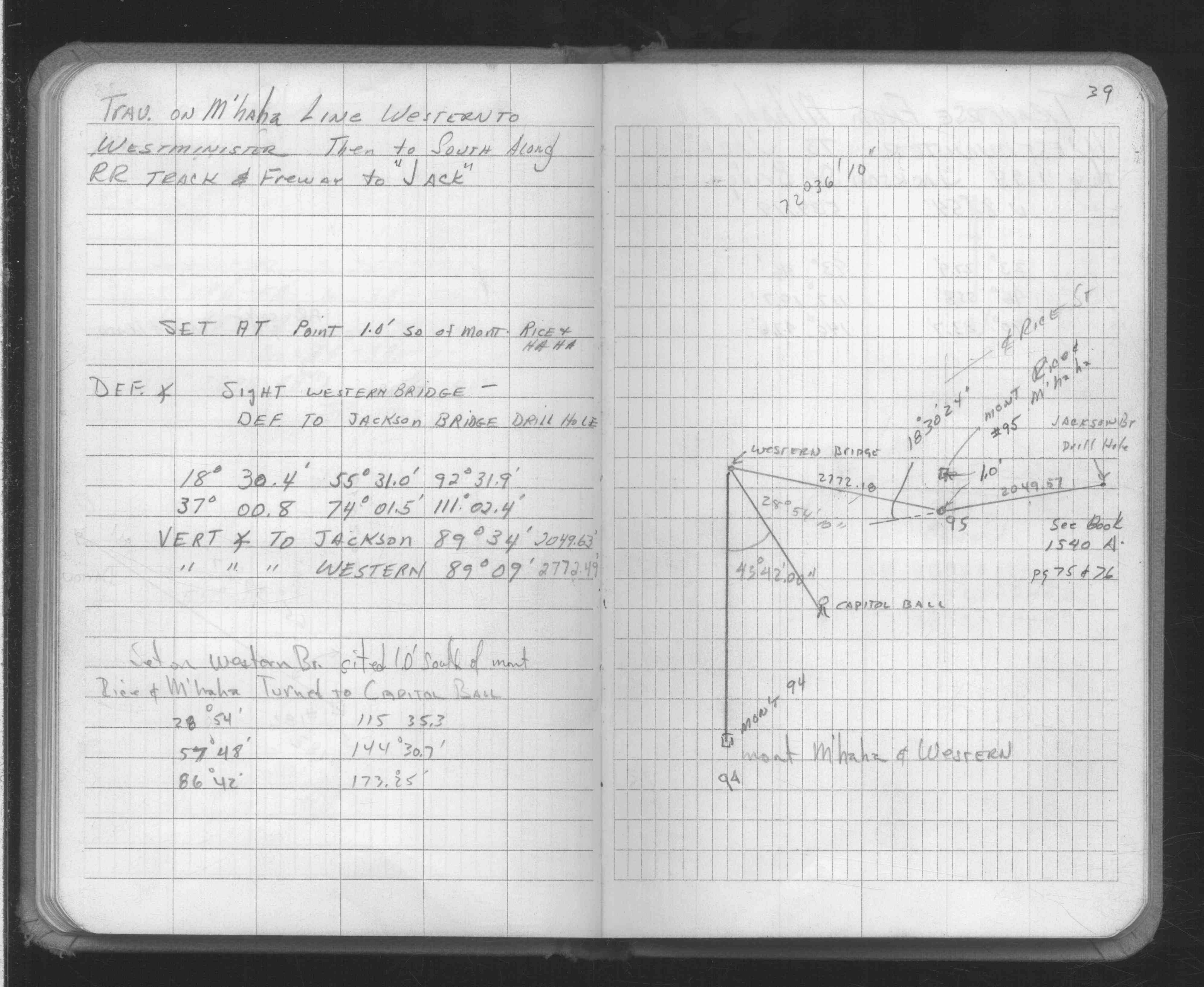
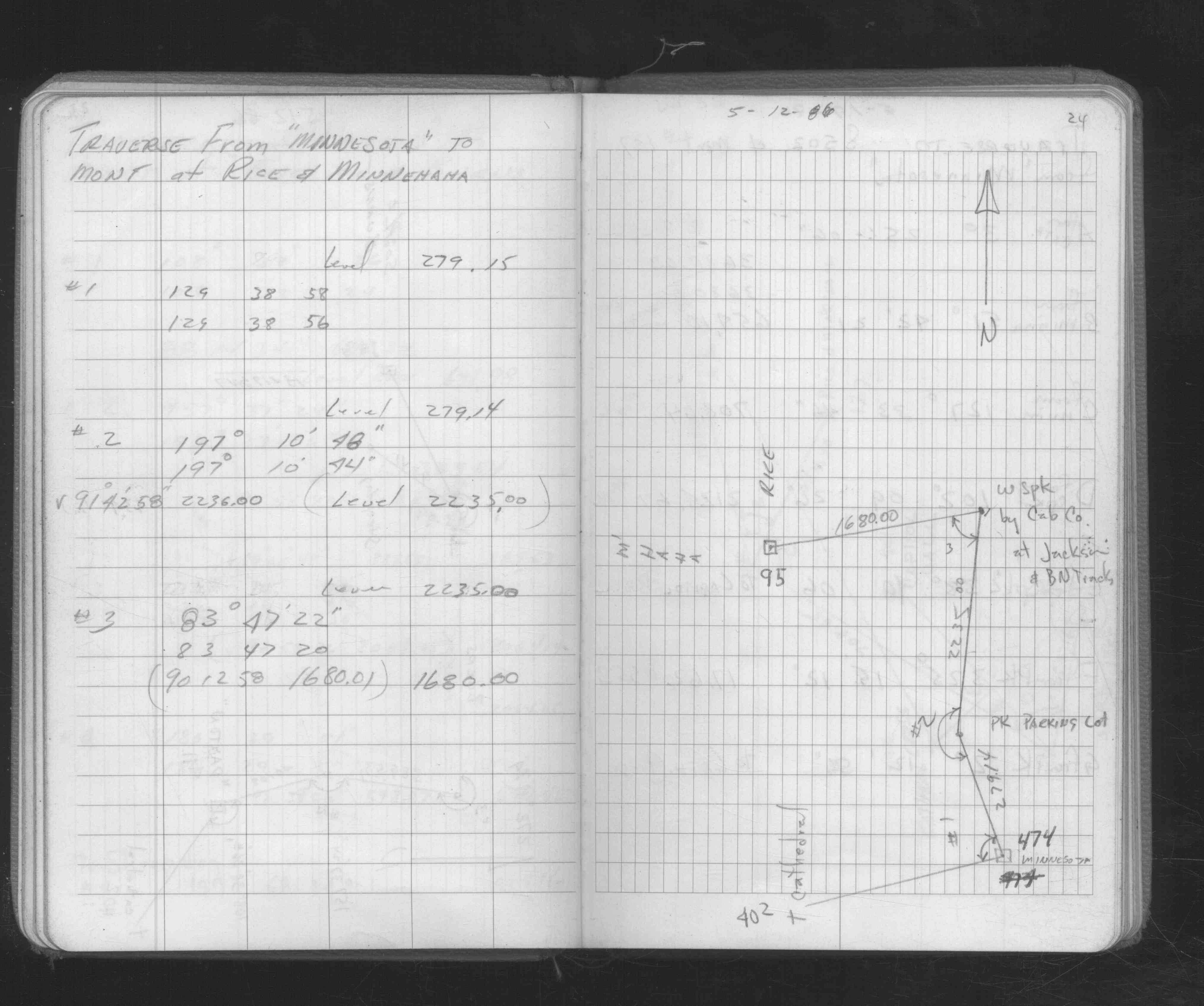
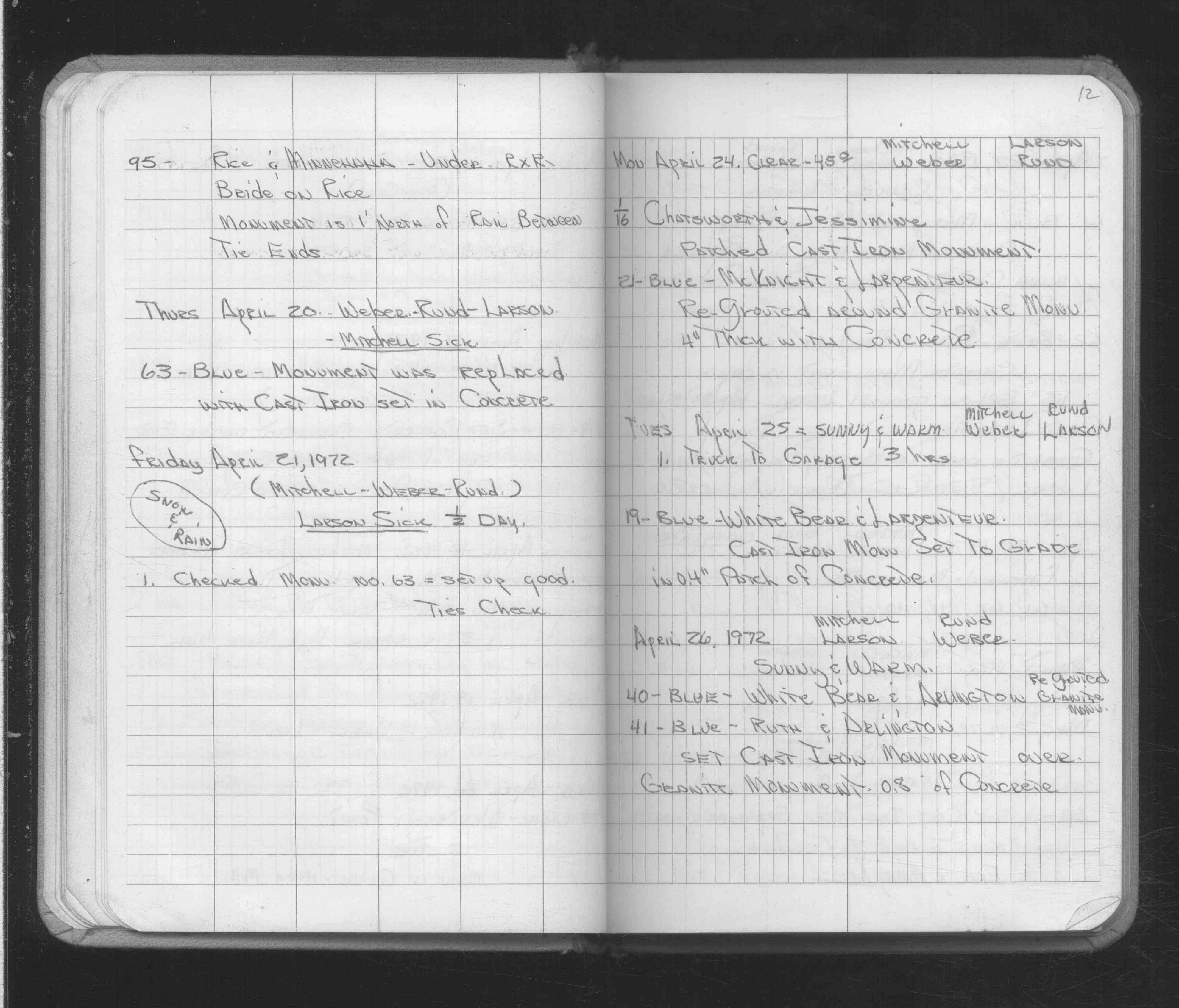
| 4/19/1972 | Fd mon't 1' north of rail between railroad ties. See FB 1689A p.12 |
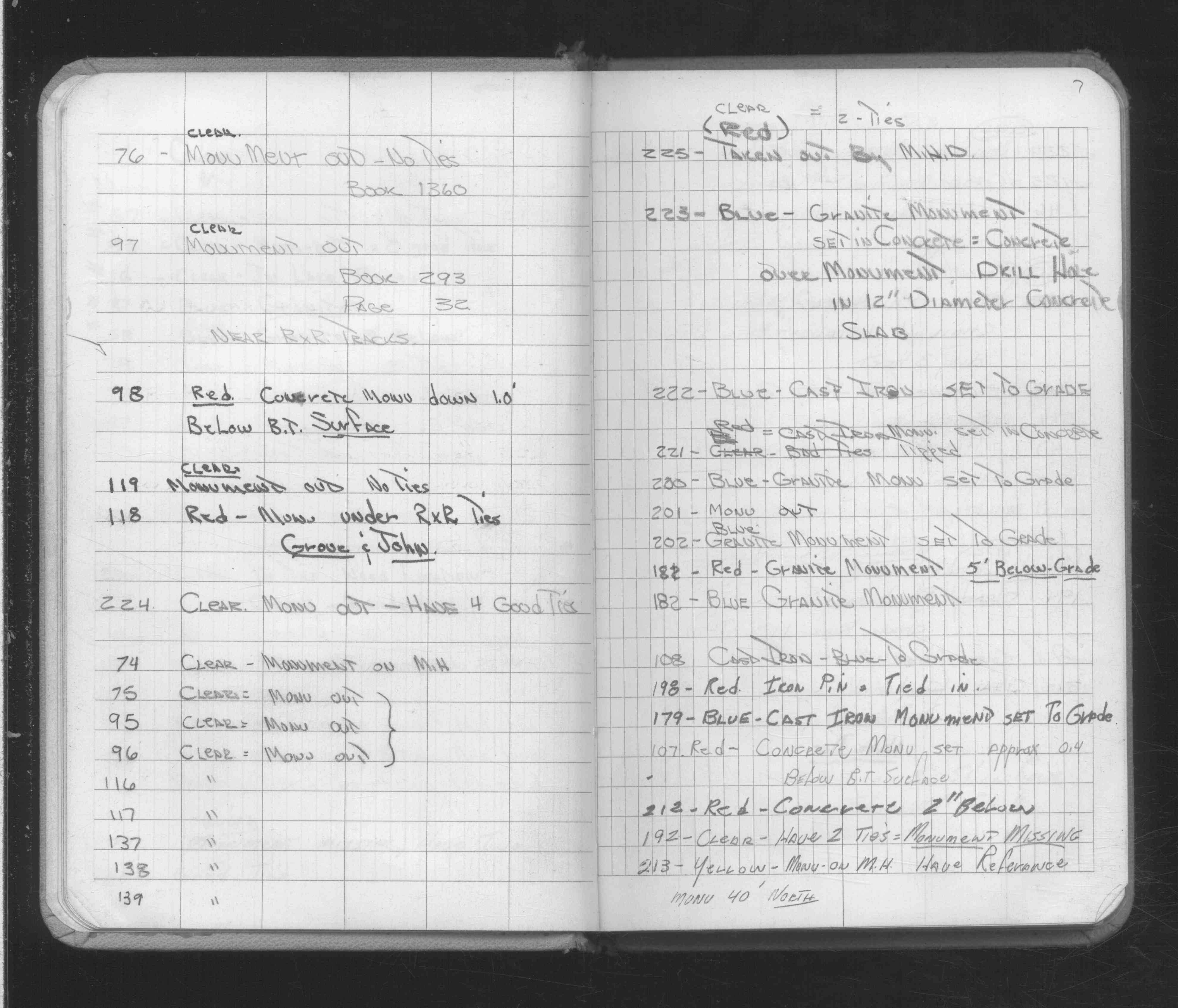
| 2/16/1972 | Monument out. See FB 1689A p.7 |
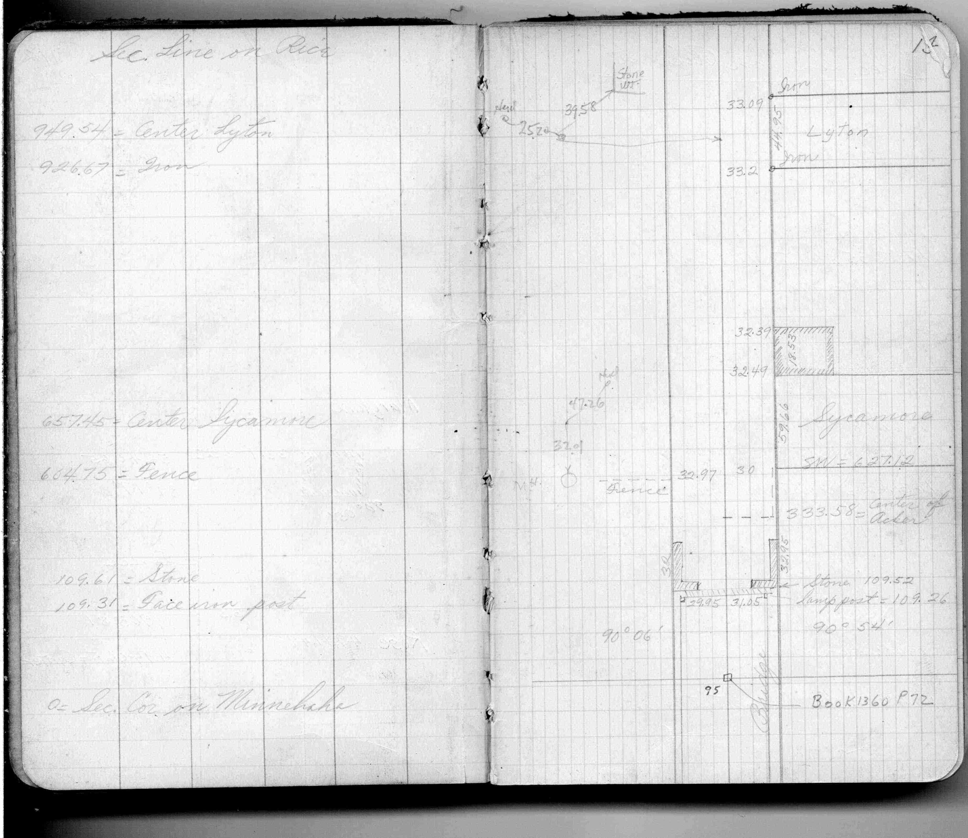
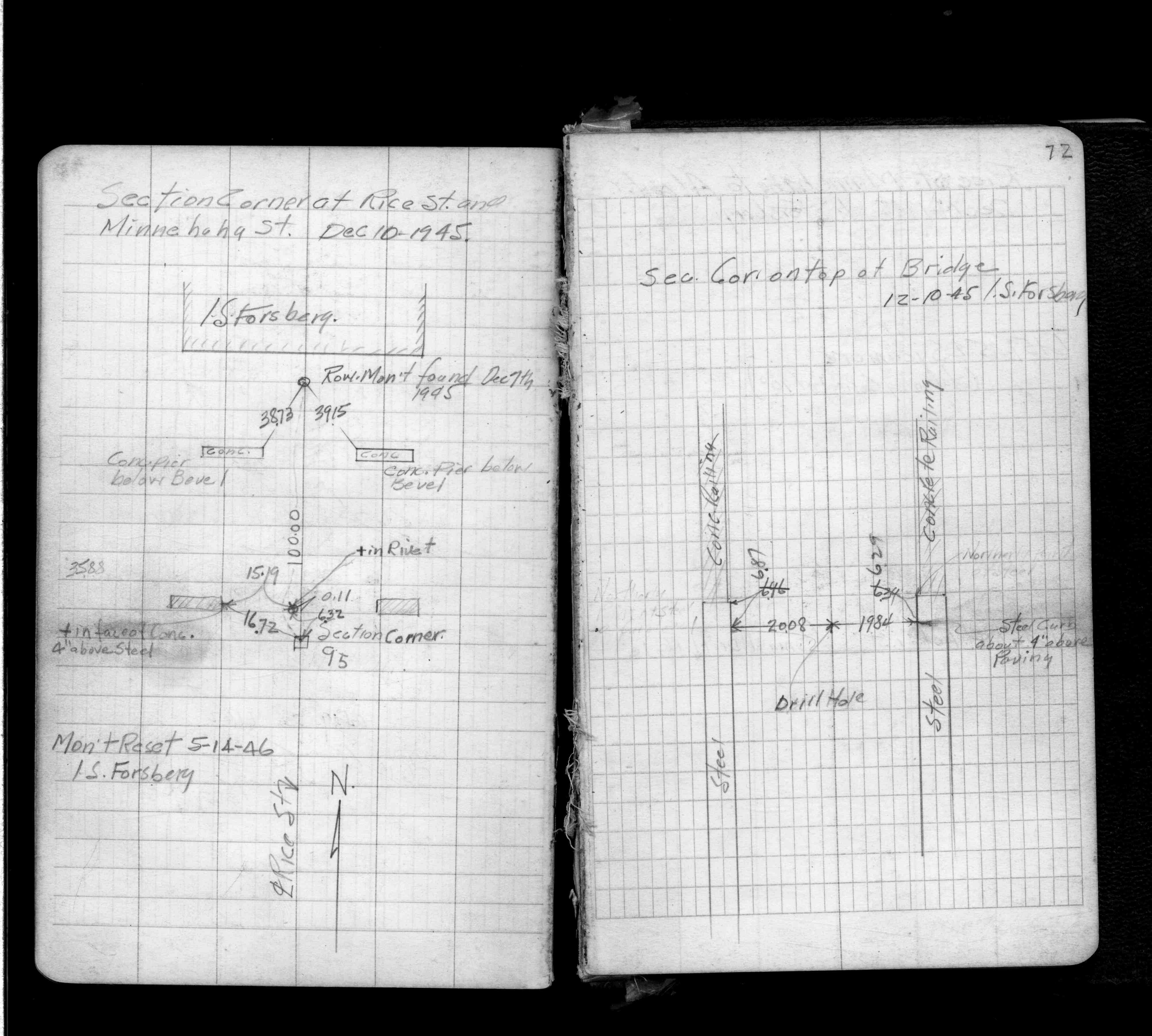
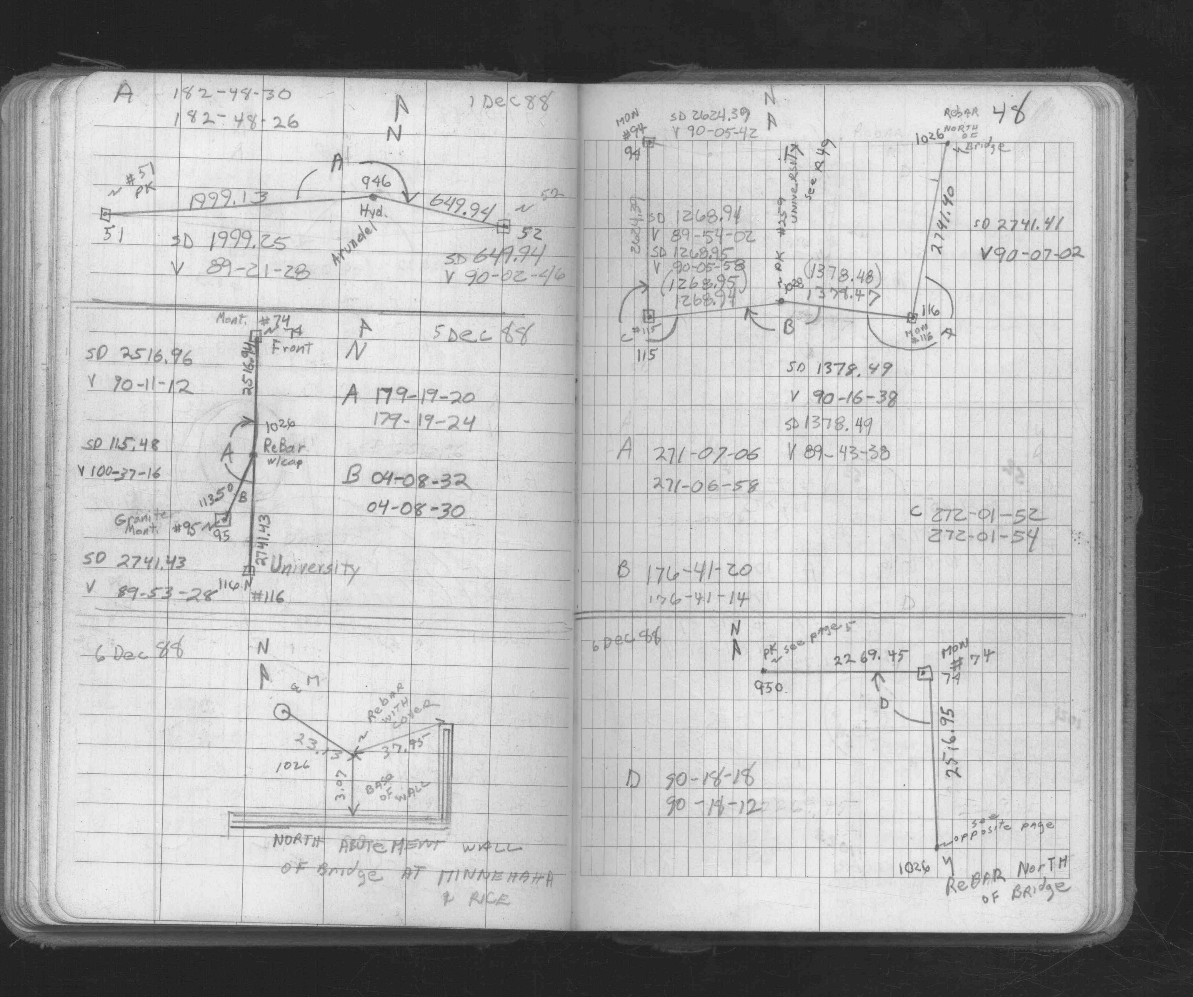
| 5/14/1946 | Reset monument. See FB 1360 p.72 and Black Monument yellow tie book. p.16 |
| 12/1/1944 | (Unknown date Dec __, 1944 ) Placed ties. See FB 1360 p.72 |
| 1/1/1888 | (Unknown date ___ __, 1888 ) Ties by W C Merryman. |
| 10/8/1847 | James M Marsh deputy surveyor set post. Tied to 2 BTs. See JM p.000-075 border |
| 1/1/1800 | (Unknown date ___ __, 18?? ) Elev 147.724 ft on GM. See Old Benches Book, Entry 1492 |
Above is NOT an all inclusive history of this point. Please review all the links below.
| PLS NOTES | Field | Cross Section | Sewer | J.B. Irvine | Monument | River Survey |
|---|---|---|---|---|---|---|
| JM p.000-075 | FB 0122p. 47 ,51 | |||||
| FB 0148p.16 | ||||||
| FB 0234p.50 | ||||||
| FB 0276CPYp. 12 ,44 | ||||||
| FB 0283p.13 | ||||||
| FB 0300CPYp.13 | ||||||
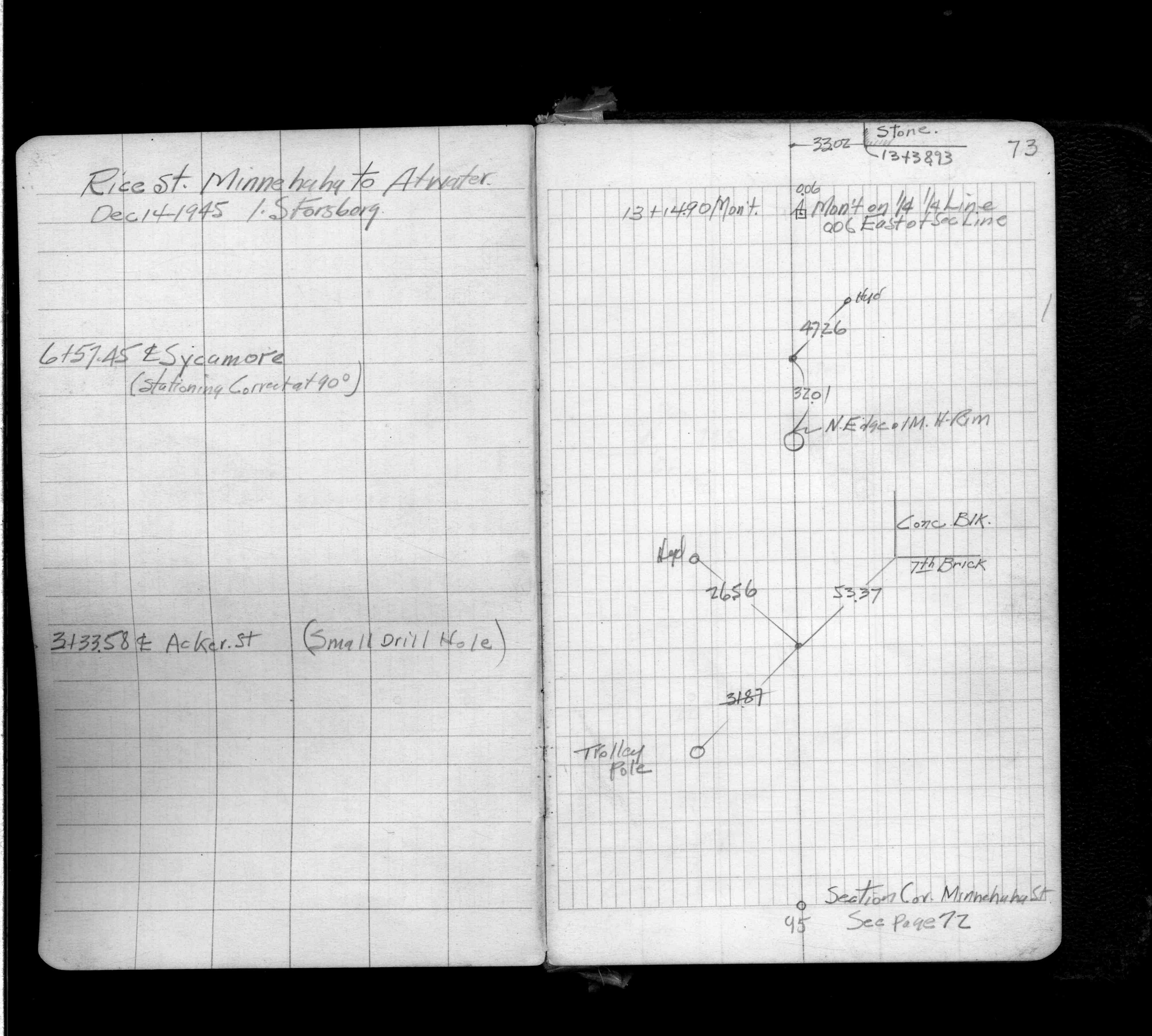
| FB 1360p.72 | ||||||
| FB 1360p. 72 ,73 | ||||||
| FB 1549Gp. 17 ,18 ,19 ,20 ,21 ,22 | ||||||
| FB 1634Bp.39 | ||||||
| FB 1673Ap.48 | ||||||
| FB 1676Bp.24 | ||||||
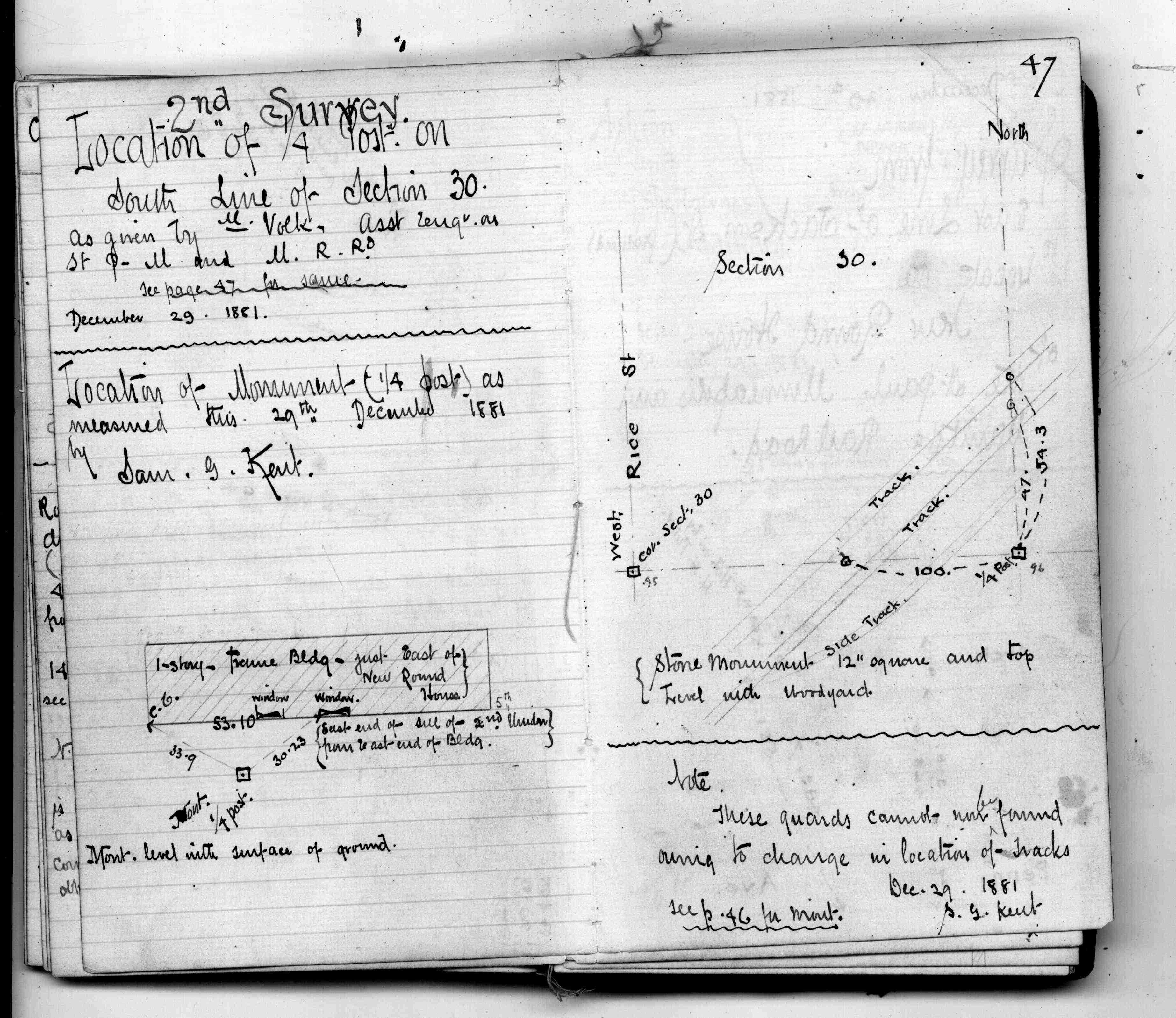
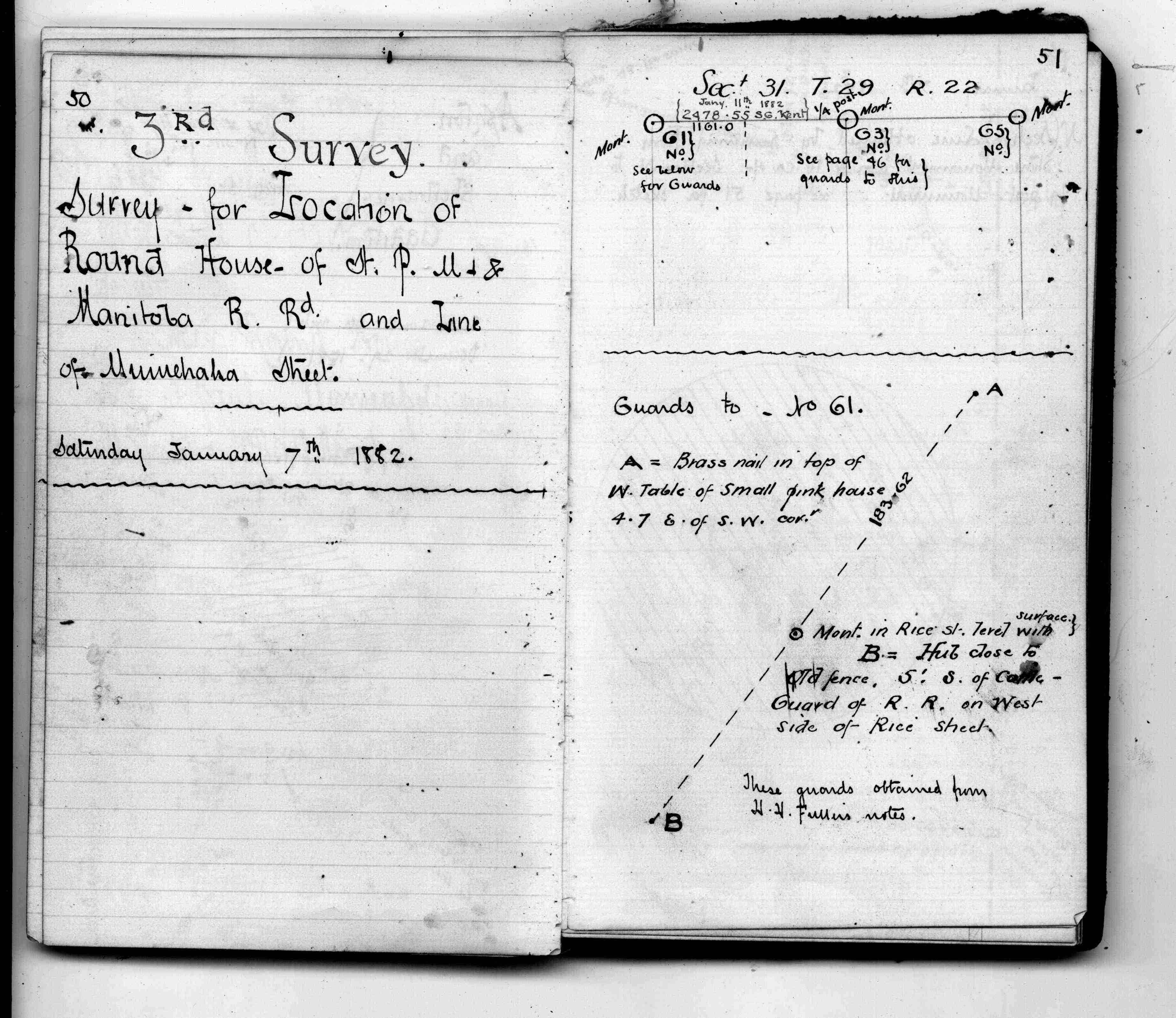
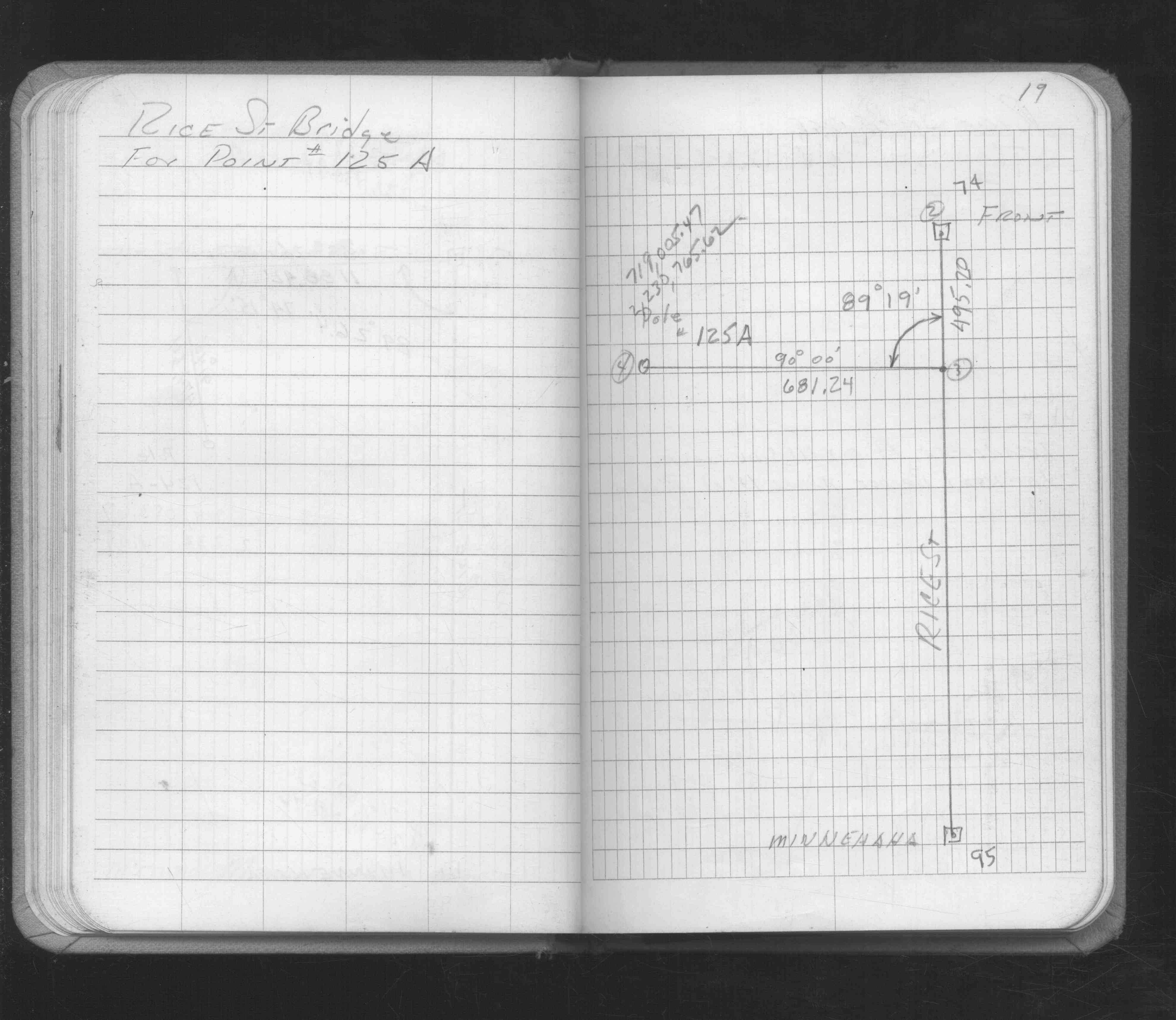
| FB 1689Ap.12 | ||||||
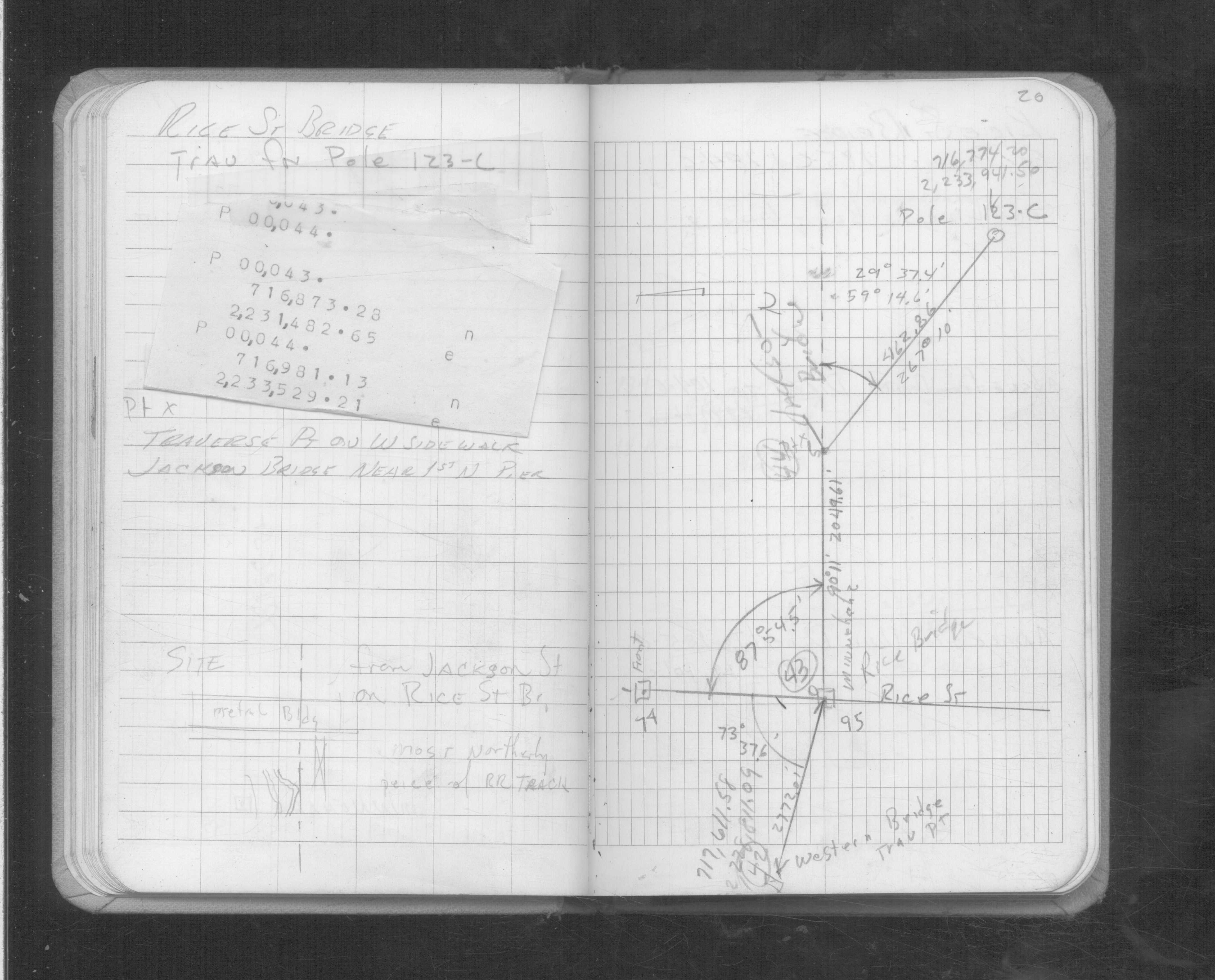
| FB 1689Ap.07 | ||||||
| FB 1689Bp.51 | ||||||
| FB 1694p. 46 ,48 |
| FILE | SURVEYOR | LIC. NO. | DATE SIGNED | DATE TIED |
|---|---|---|---|---|
| 0095-0061-A.tif | Jeffery L. Grosso | 13144 | October 25, 2001 | October 18, 2001 |
| ST_079-156p095.jpg | none | none | none | none |
| 0095-0061-A.dwf | none | none | none | none |
| FILE | PHOTO DATE | COMMENTS |
|---|---|---|
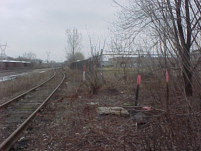
| 0095-0061-7.jpg | April 16, 2002 | Looking west. |
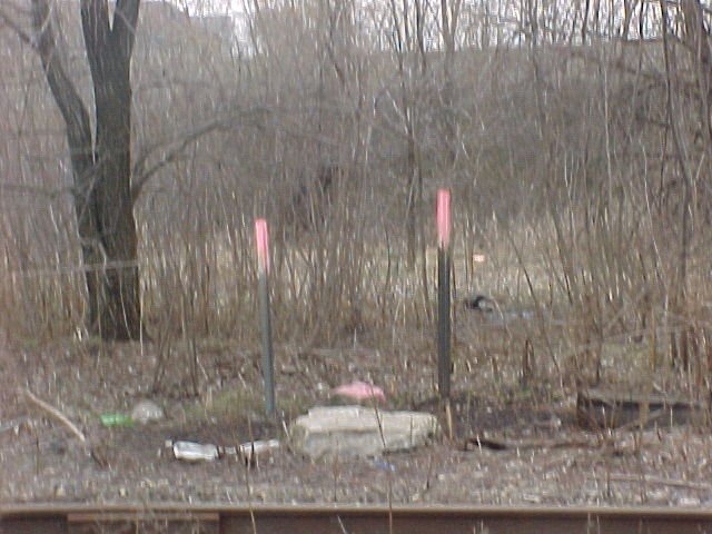
| 0095-0061-6.jpg | April 16, 2002 | Looking south. |
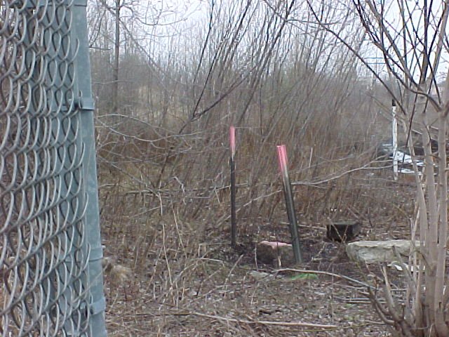
| 0095-0061-5.jpg | April 16, 2002 | Looking east towards tie on fence corner 3 feet up. |
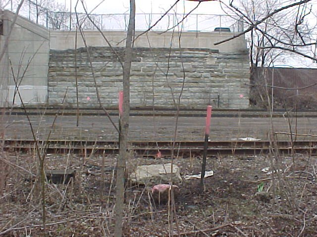
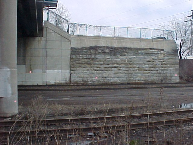
| 0095-0061-4.jpg | April 16, 2002 | Looking north towards ties on old bridge abutment. |
| 0095-0061-3.jpg | April 16, 2002 | Looking north towards ties on old & new bridge abutments. |
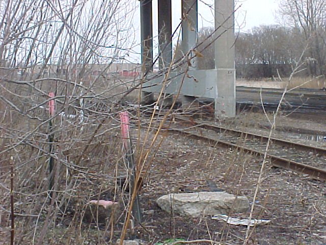
| 0095-0061-2.jpg | April 16, 2002 | Looking northwesterly towards tie on bridge pier. |
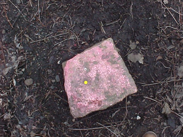
| 0095-0061-1.jpg | April 16, 2002 | Close up of GM, hole not centered in monument. |