| NAD83 COORDINATES (1986 adj.): |
|---|
| * X= 574290.94 Y= 162781.79 Z= 0 LSQ 8/11/2000 |
| X= 574290.94 Y= 162781.85 Z= 0 CMP 3/21/2000 |
| 10/3/2000 | Fd rebar with city cap, removed rebar, set CIM to grade 0.06 ft south of rebar which was set on Mar 21, 2000. See CofL 0096-__ew-A |
| 5/18/2000 | Removed fabric target for 2000 aerial |
| 3/21/2000 | Set Rebar with City of Saint Paul Cap with 4-3 ft straddles (placed fabriced target for 2000 aerial) |
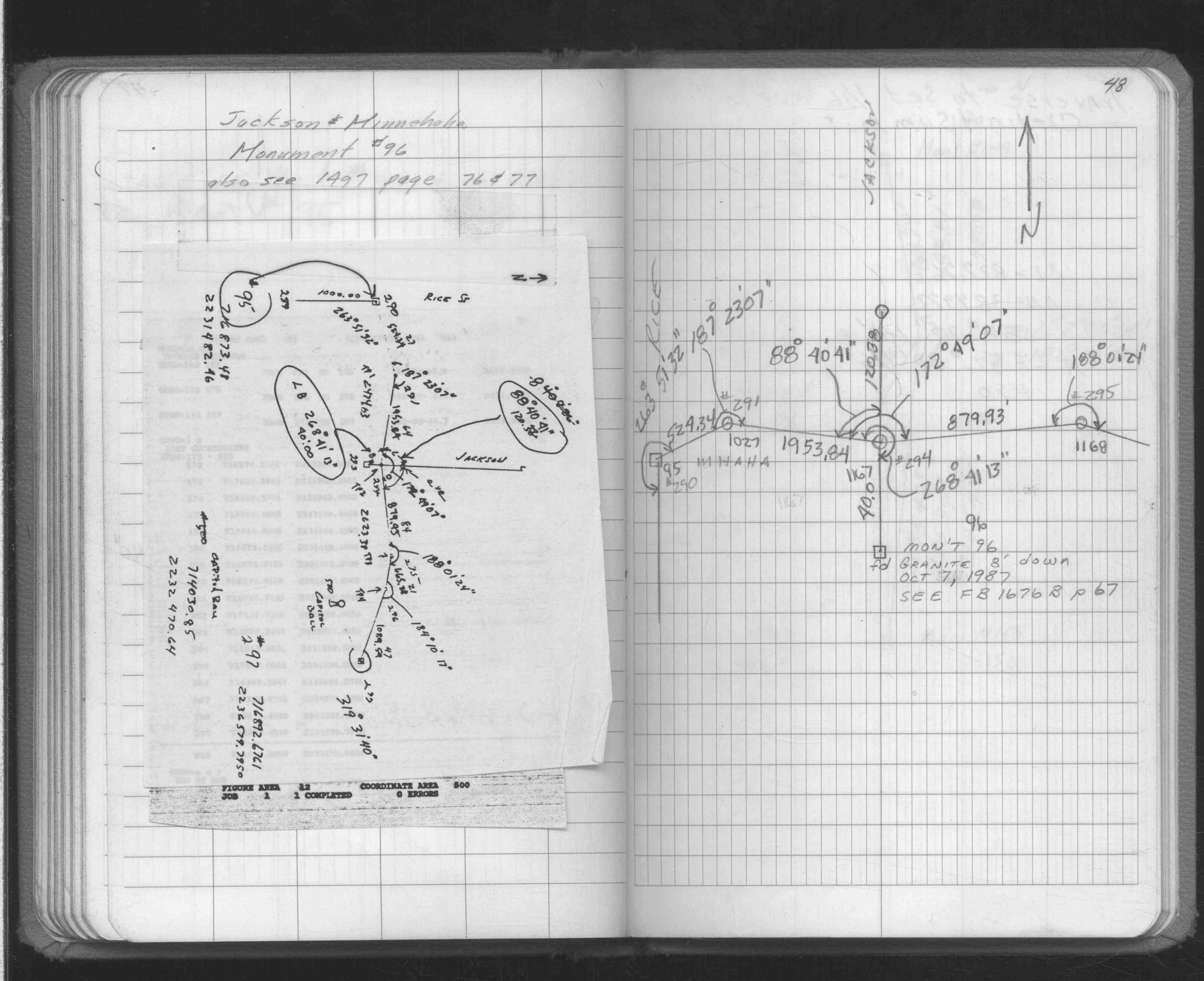
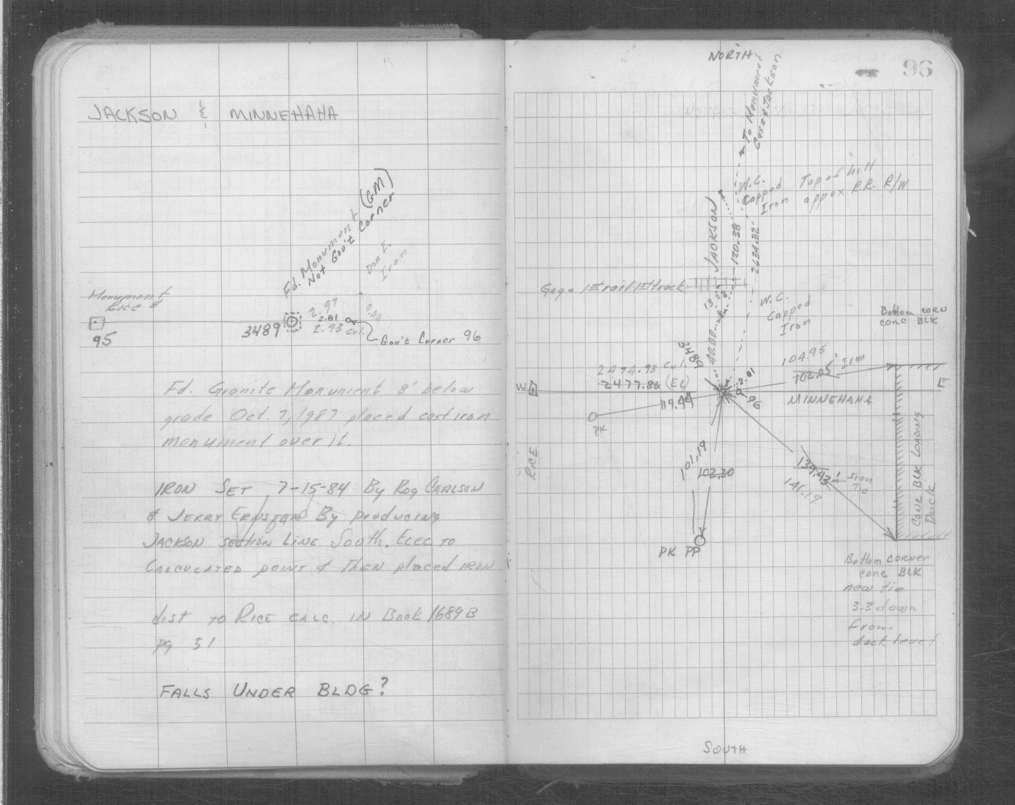
| 10/7/1987 | Fd GM 8 ft below grade. Placed CIM over GM. |
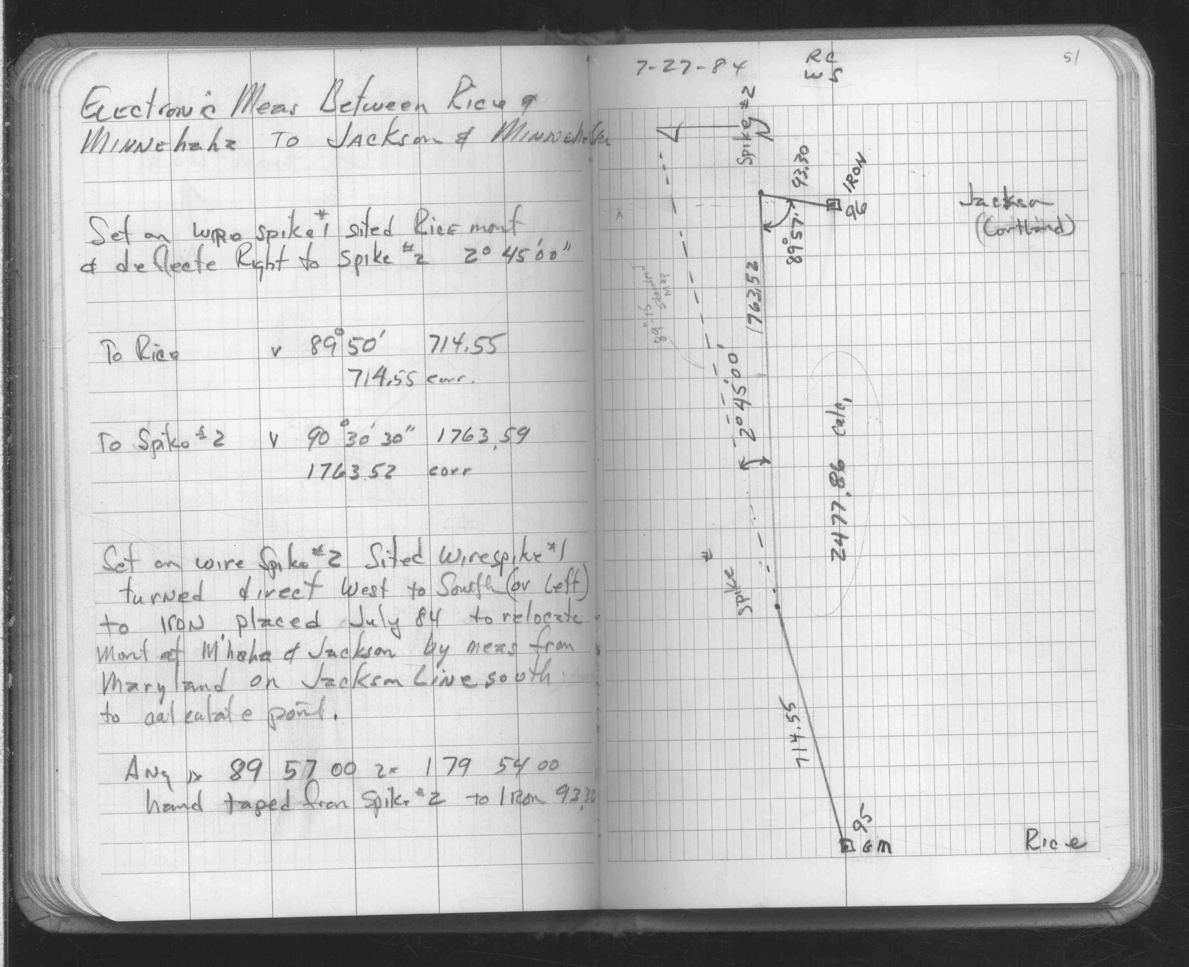
| 7/15/1984 | Iron set at computed position determined by Don Ernster - city surveyor |
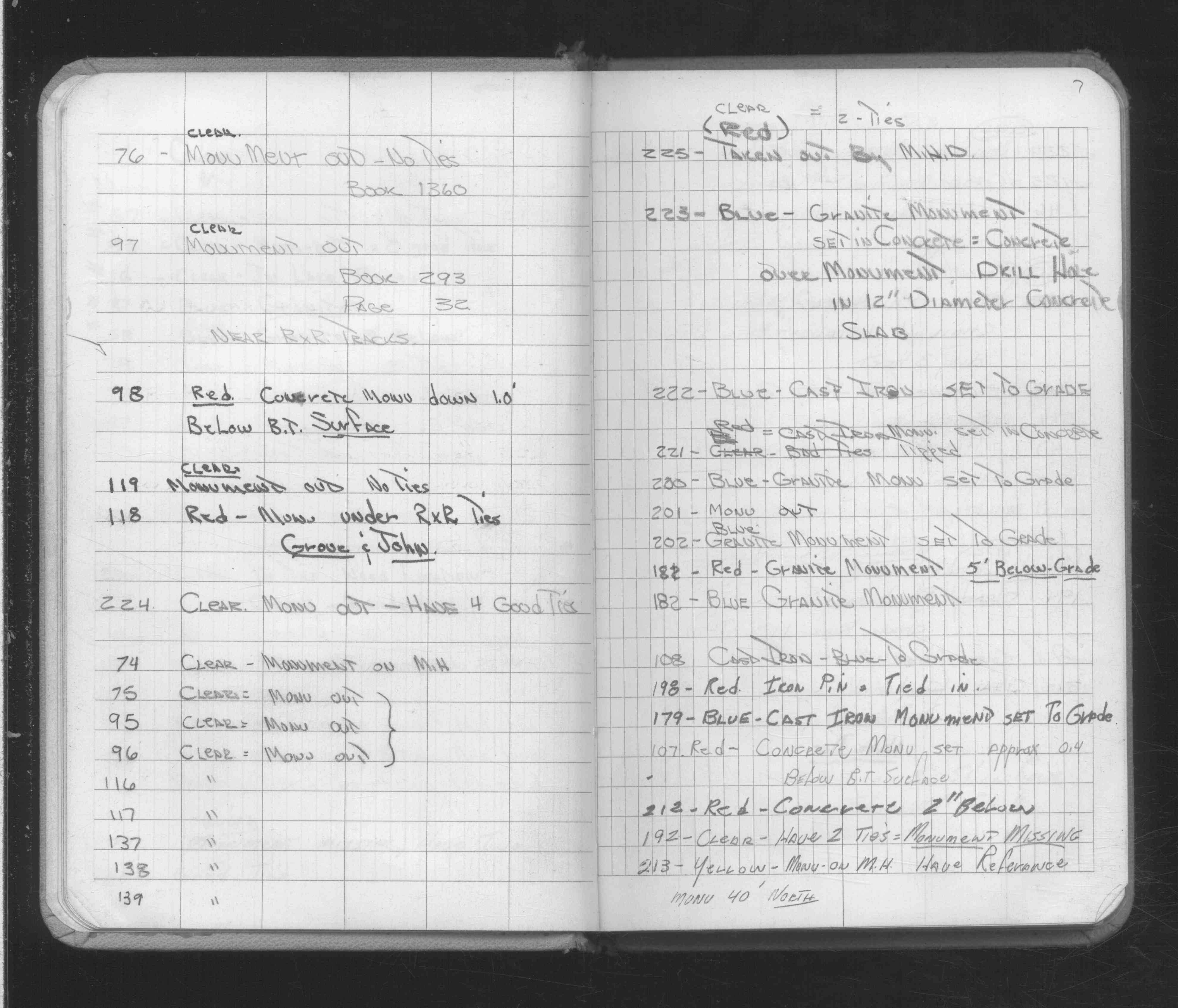
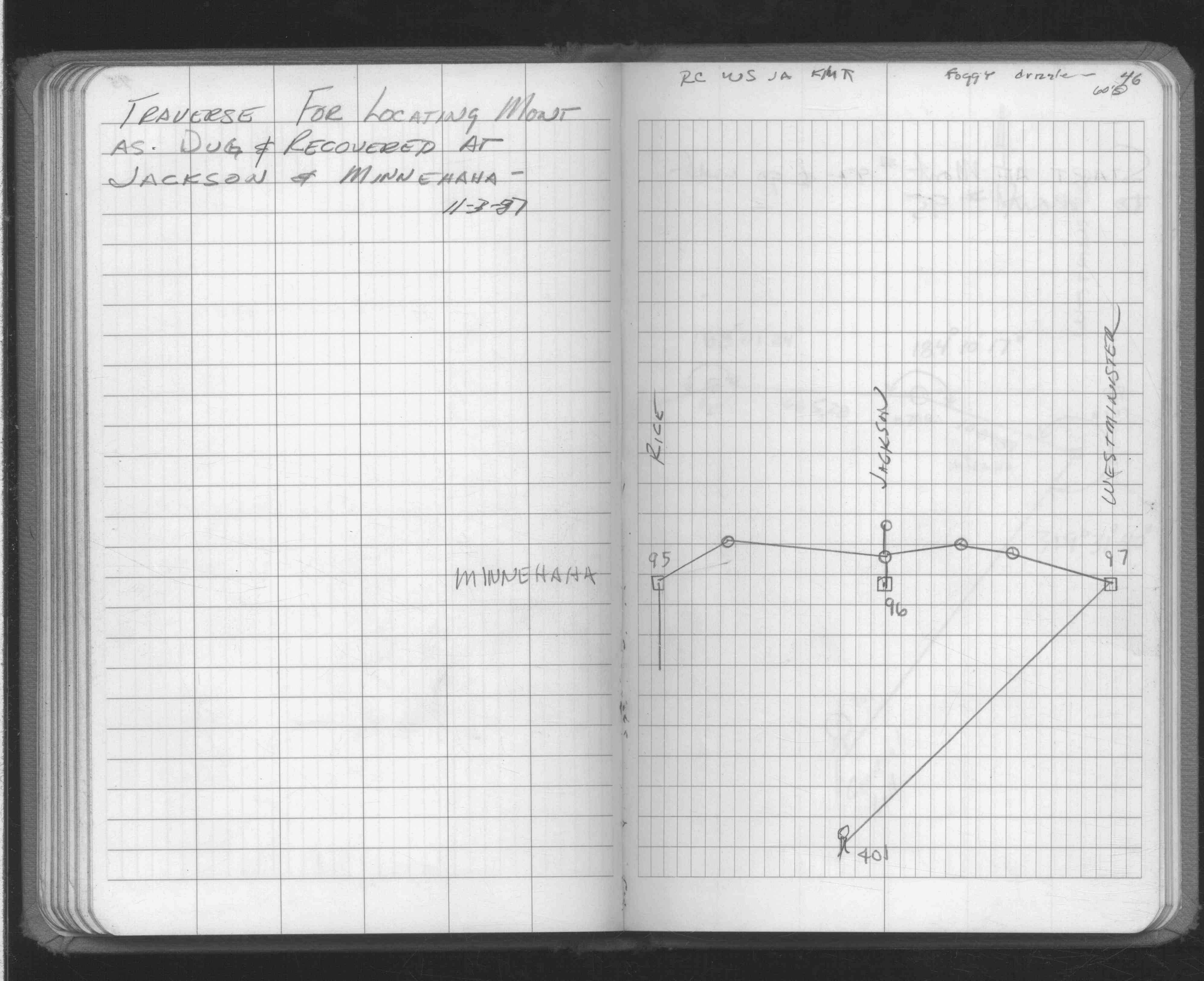
| 2/16/1972 | Monument out. See FB 1689A p.7 |
| 11/1/1847 | (Unknown date Nov __, 1847 ) Isaac N Higbee deputy surveyor set post. Tied to 2 BTs. See IH p.210-211 2922 |
| 1/1/1800 | (Unknown date ___ __, ____ ) RR building might be over monument?, GM still in, CIM out, Not Gov corner? |
| 1/1/1800 | (Unknown date ___ __, ____ ) GM position 2.97 west of iron position. |
| 1/1/1800 | (Unknown date ___ __, ____ ) GM Gov't corner? GM does not fit the GM (pt 2430) at NE corner at Jackson & Cayuga |
| 1/1/1800 | (Unknown date ___ __, ____ ) GM does not fit the found GM (pt 2845) at SE corner at Jackson & Acker |
Above is NOT an all inclusive history of this point. Please review all the links below.
| PLS NOTES | Field | Cross Section | Sewer | J.B. Irvine | Monument | River Survey |
|---|---|---|---|---|---|---|
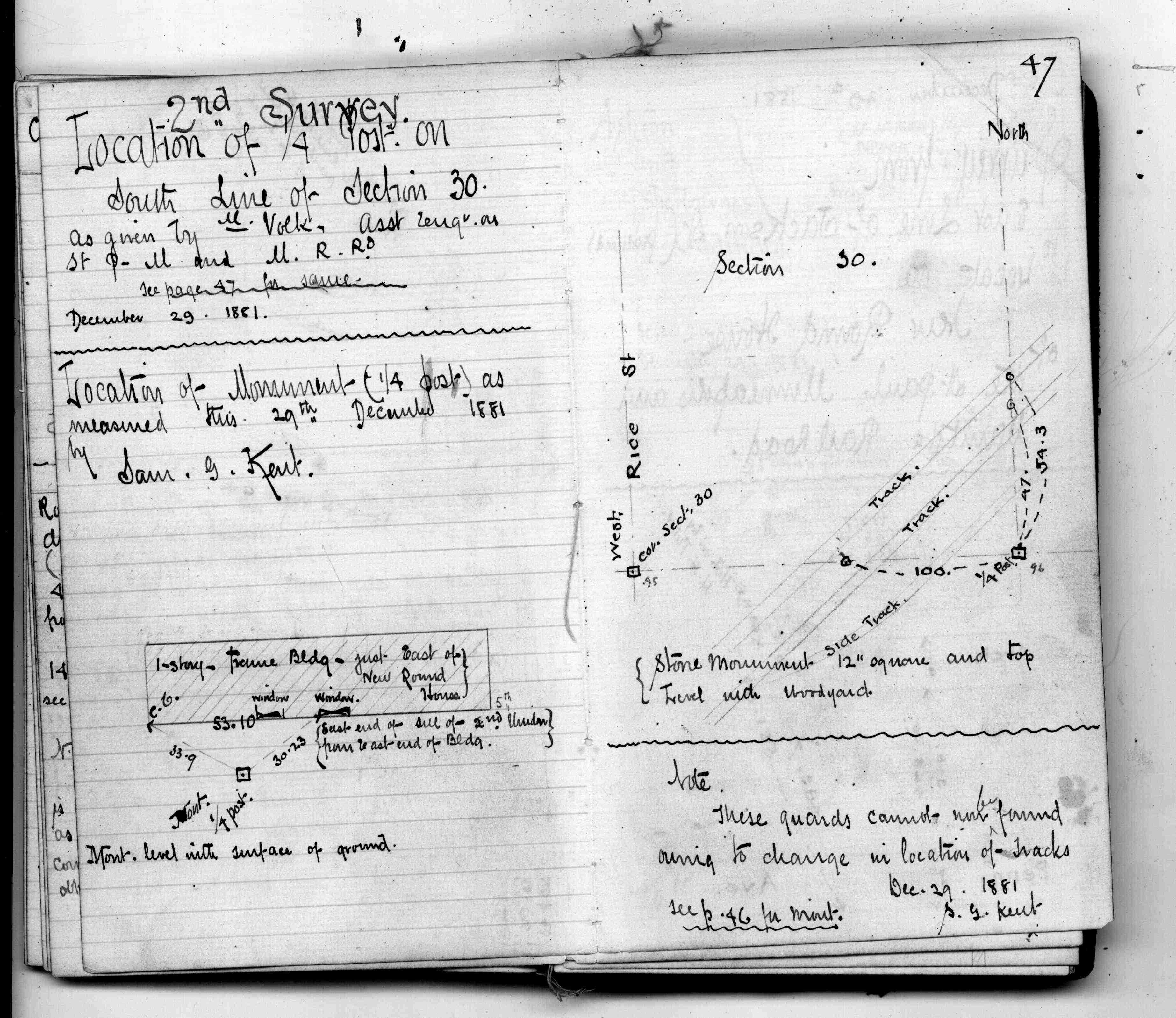
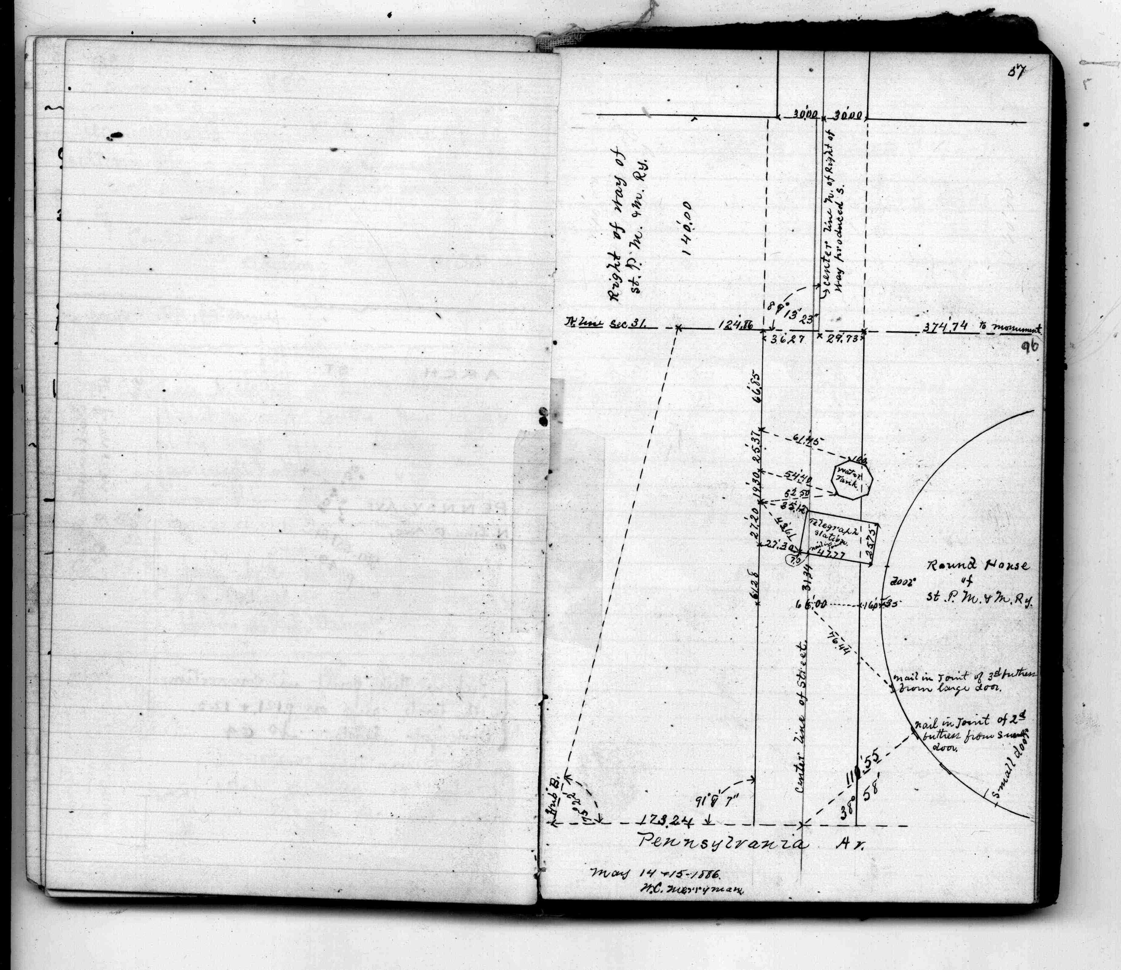
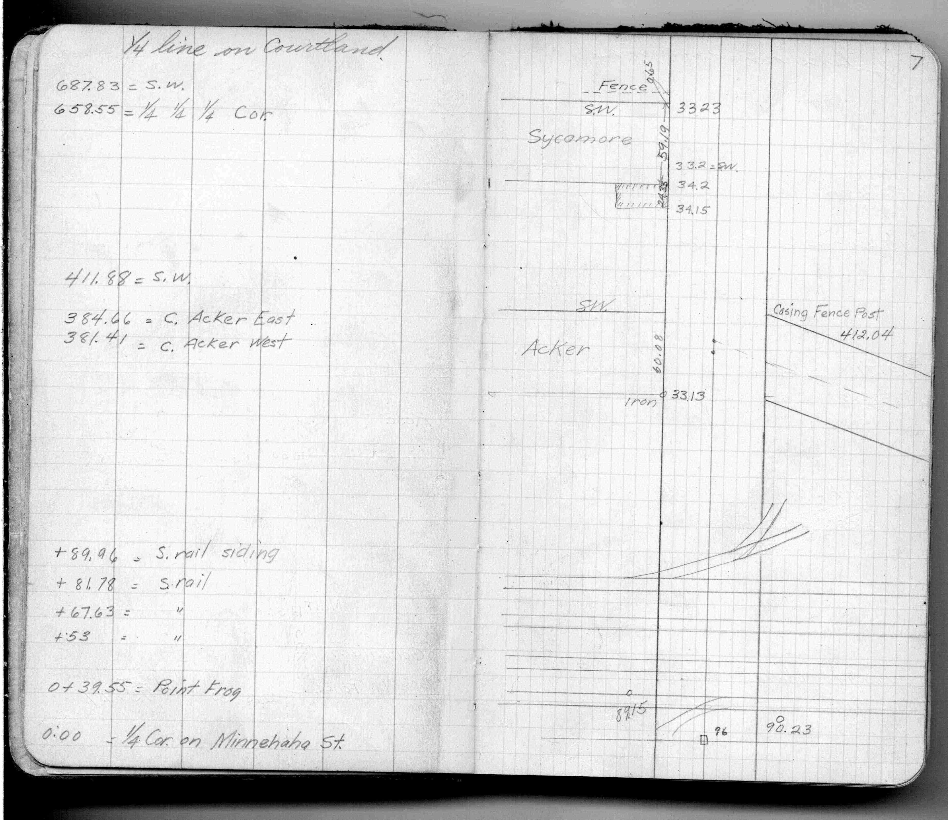
| IH p.210-211 | FB 0122p. 47 ,49 ,51 ,53 ,57 | |||||
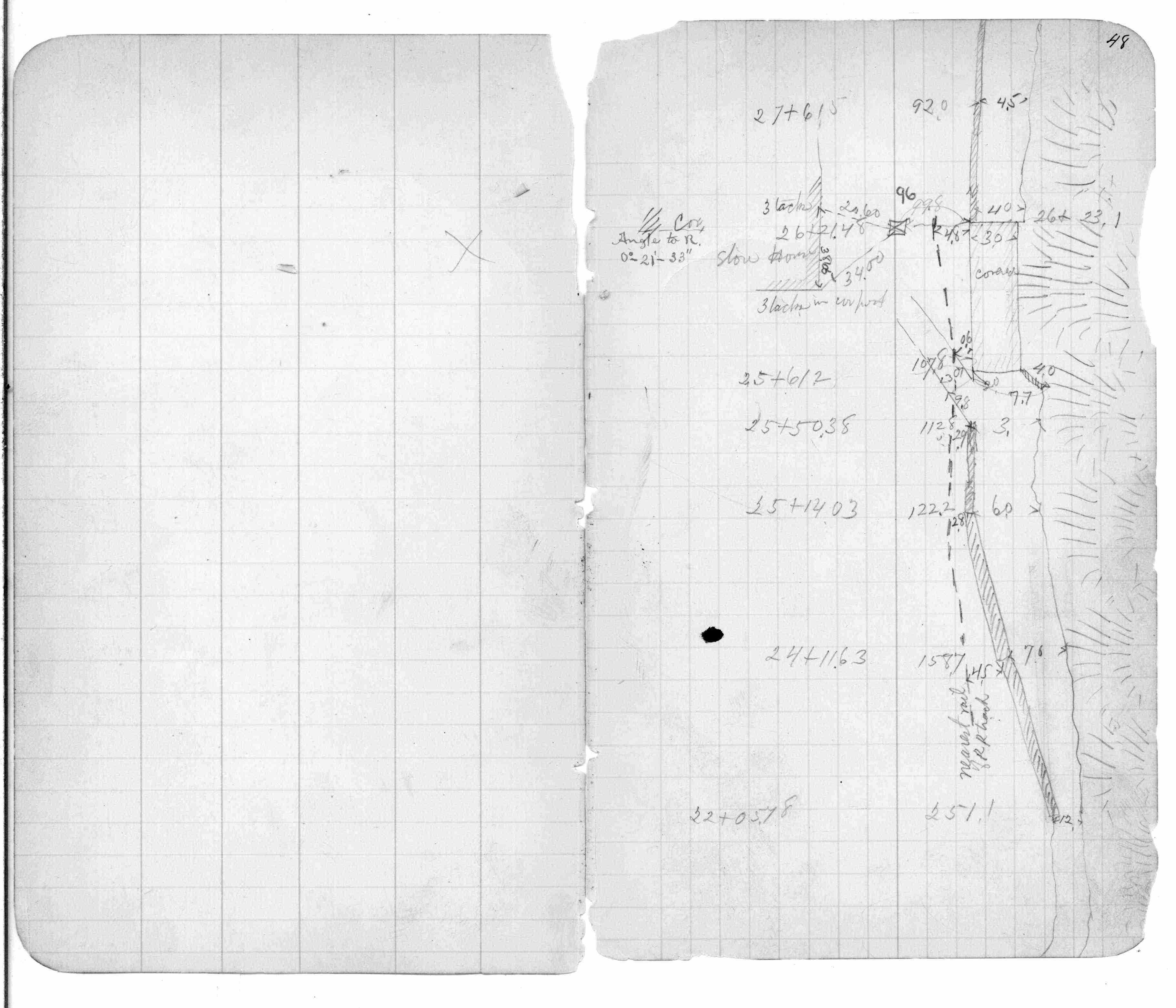
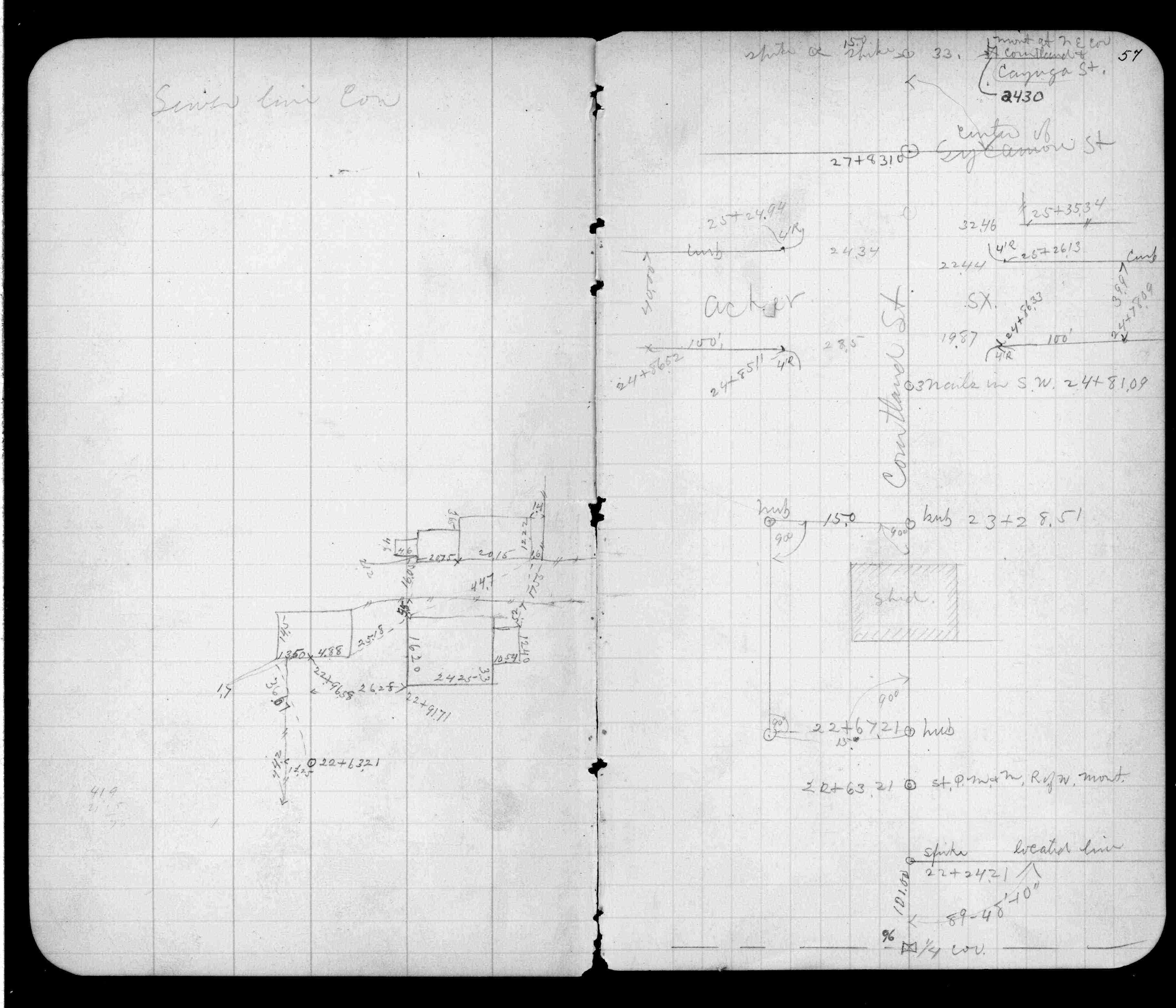
| FB 0234p. 48 ,57 | ||||||
| FB 0283p.16 | ||||||
| FB 0300CPYp.07 | ||||||
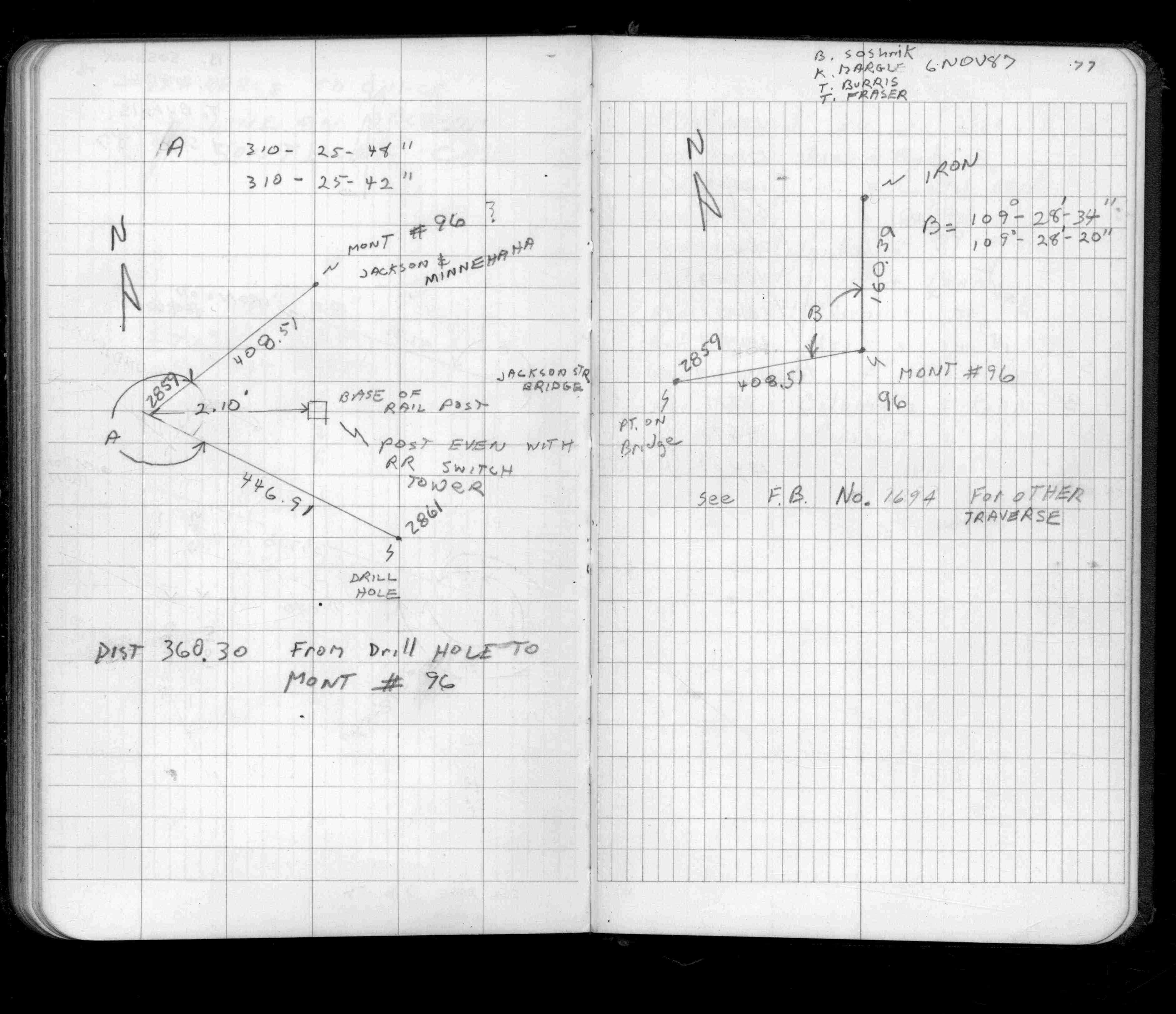
| FB 1497p.77 | ||||||
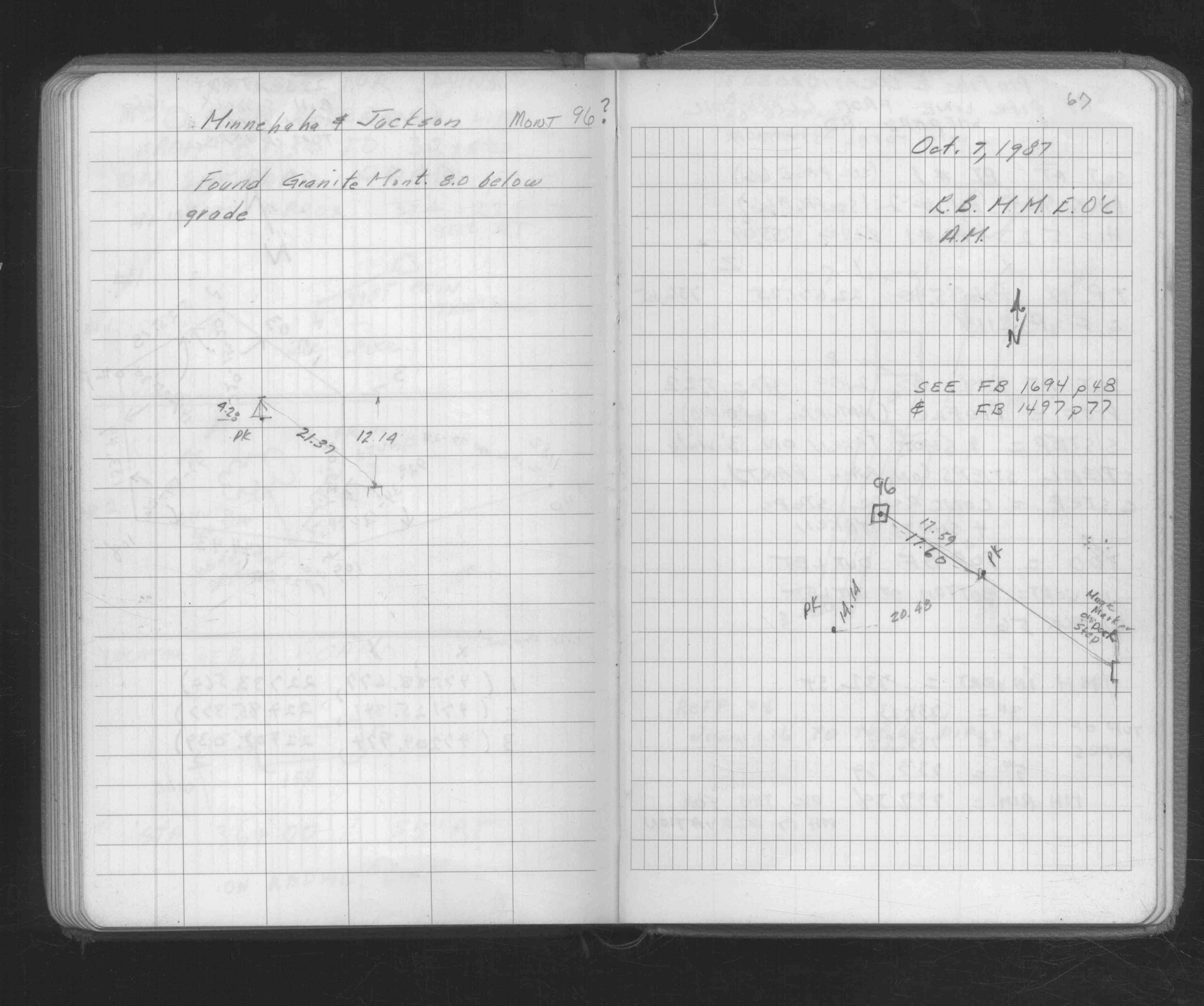
| FB 1676Bp.67 | ||||||
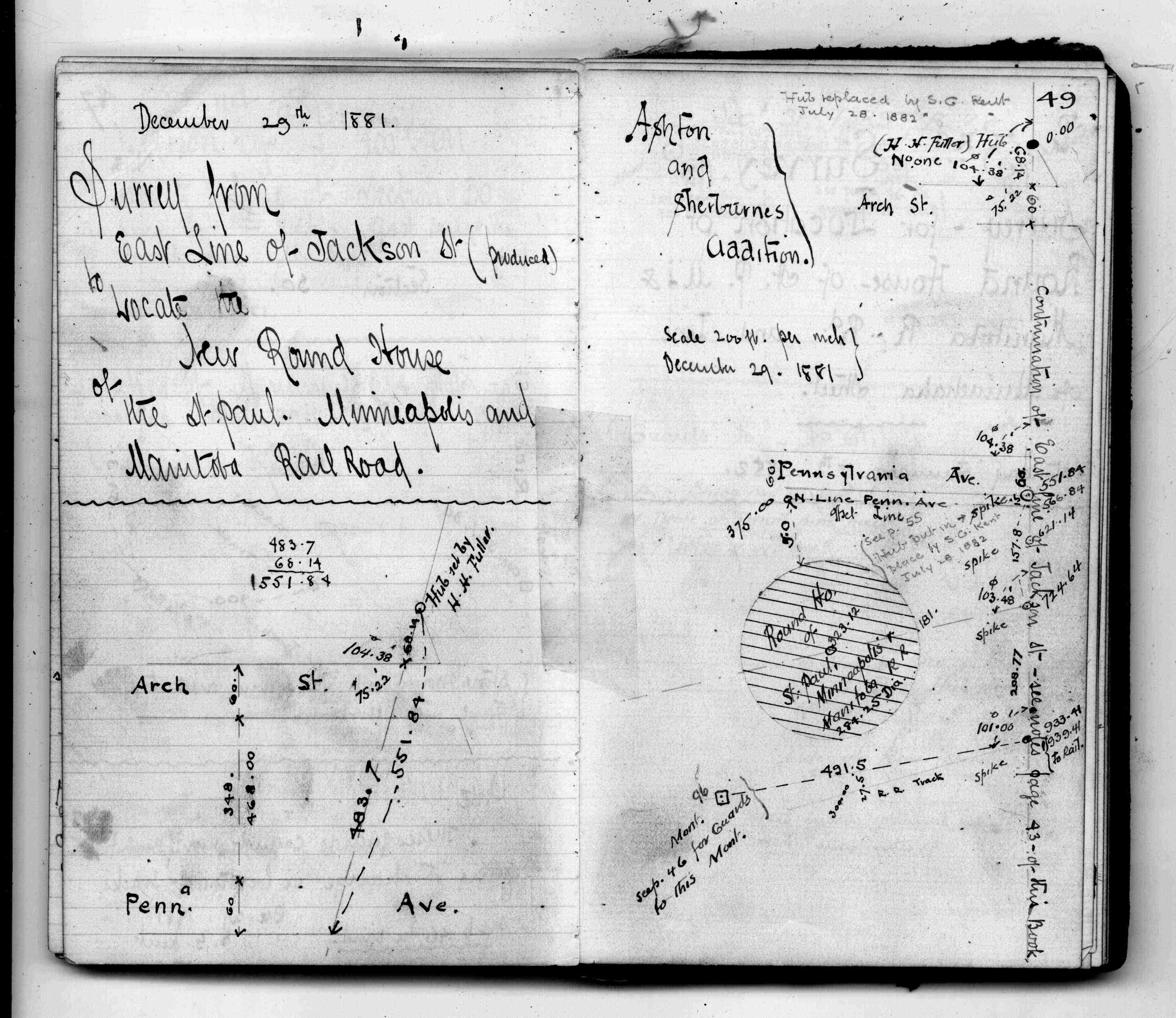
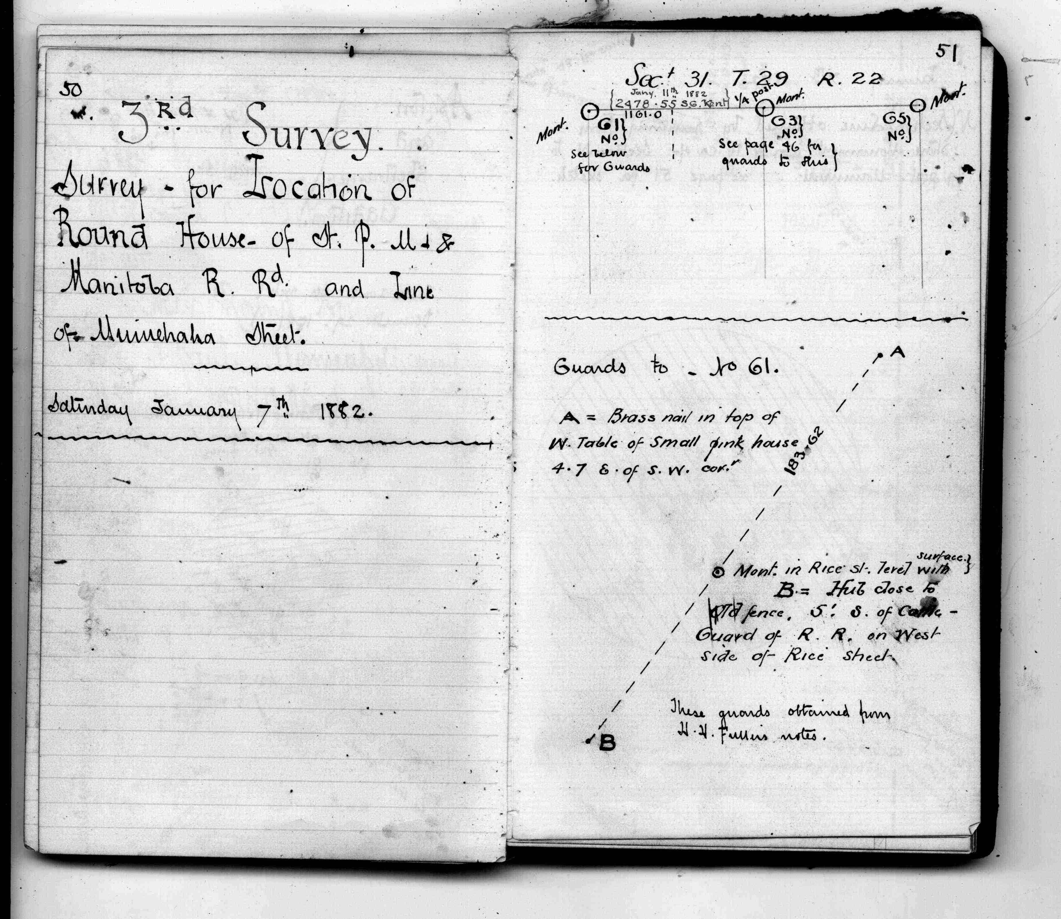
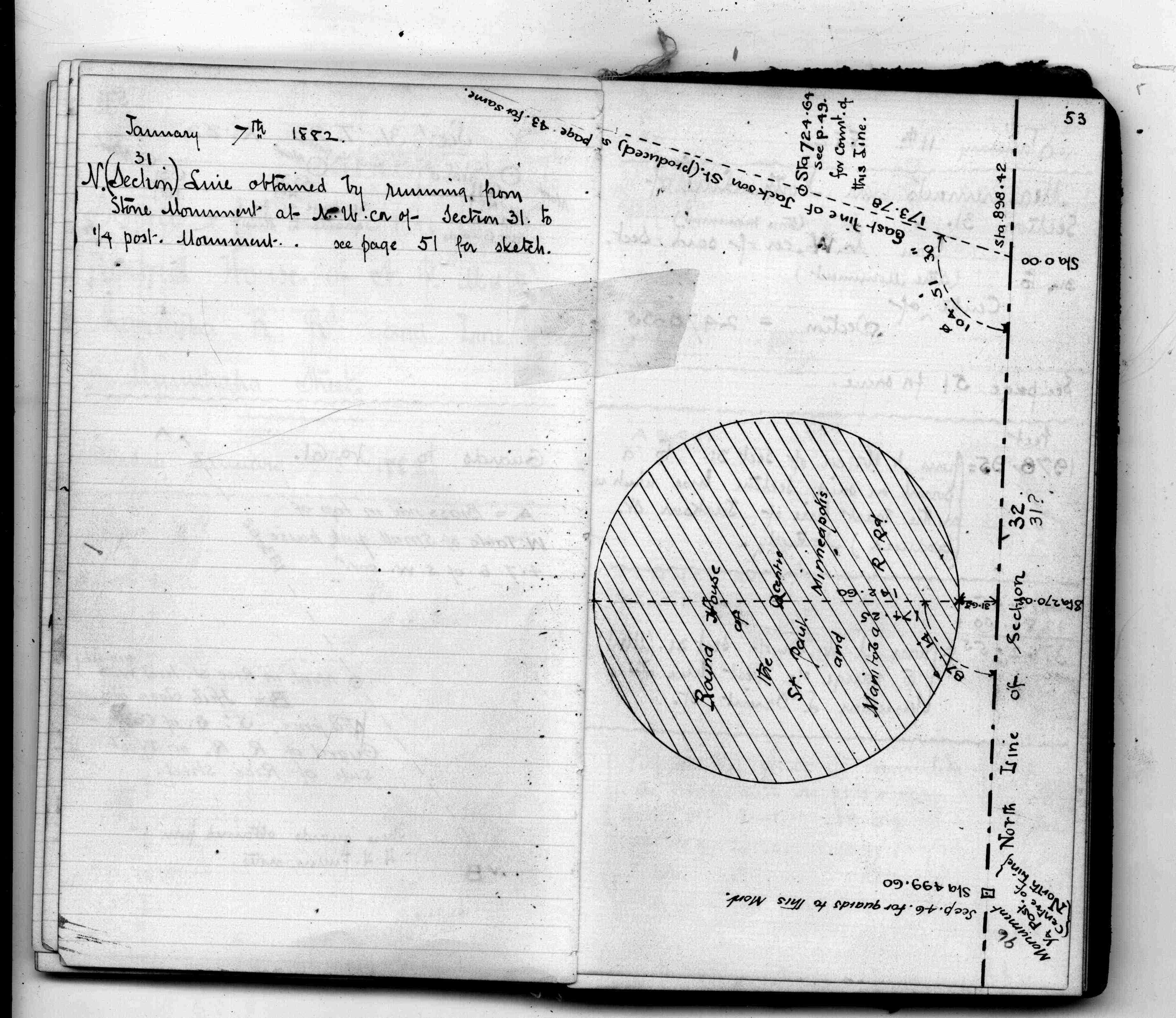
| FB 1689Ap.07 | ||||||
| FB 1689Bp.51 | ||||||
| FB 1694p. 46 ,48 |
| FILE | SURVEYOR | LIC. NO. | DATE SIGNED | DATE TIED |
|---|---|---|---|---|
| 0096-__ew-A.tif | Jeffery L. Grosso | 13144 | October 9, 2000 | October 3, 2000 |
| ST_079-156p096.jpg | none | none | none | none |
| 0096-__ew-A.dwf | none | none | none | none |
| FILE | PHOTO DATE | COMMENTS |
|---|---|---|
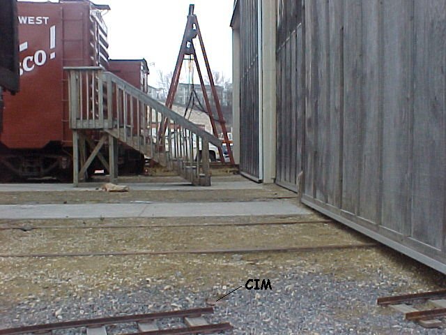
| 0096-__ew-4.jpg | April 16, 2002 | Looking south at ties. |
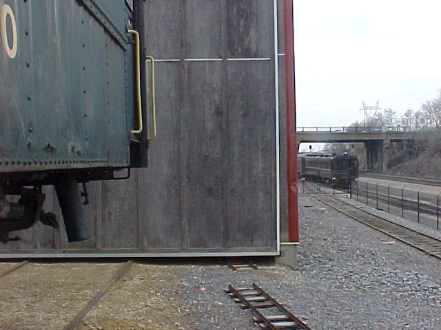
| 0096-__ew-3.jpg | April 16, 2002 | Looking north on Jackson St. |
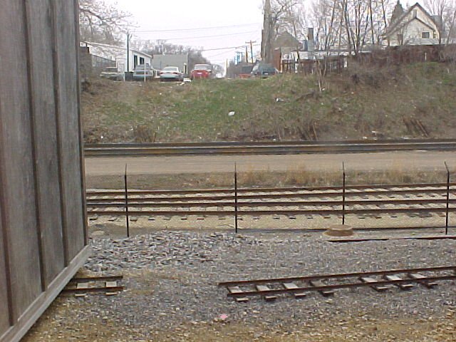
| 0096-__ew-2.jpg | April 16, 2002 | Looking west, Rice St bridge in background. |
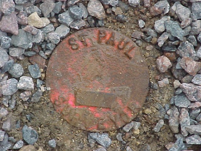
| 0096-__ew-1.jpg | April 16, 2002 | Close up of CIM marked 'ST PAUL SURVEYOR' |