| NAD83 COORDINATES (1986 adj.): |
|---|
| * X= 576911.26 Y= 162779.61 Z= 0 LSQ 12/6/1991 S FLT |
| X= 576911.27 Y= 162779.53 Z= 0 2/5/2003 RTK-VRS |
| 2/3/2011 | Aluminum Cap over 3/4" PIN tied by MnDot See CofL 0097-0065-B.pdf |
| 3/22/2004 | Fd concrete monument. Photos taken. |
| 2/26/2003 | See report/opinion by Jeff Grosso, Chief Surveyor and David Claypool, Ramsey Co Surveyor dated Feb 26 7 Feb 28 2003 |
| 2/5/2003 | Located concrete monument with GPS RTK-VRS. |
| 3/27/2002 | Fd concrete monument. Photos taken. |
| 8/1/2001 | (Unknown date Aug __, 2001 ) See Mike Murphy's report dated 12/04/2001 and point 3574 |
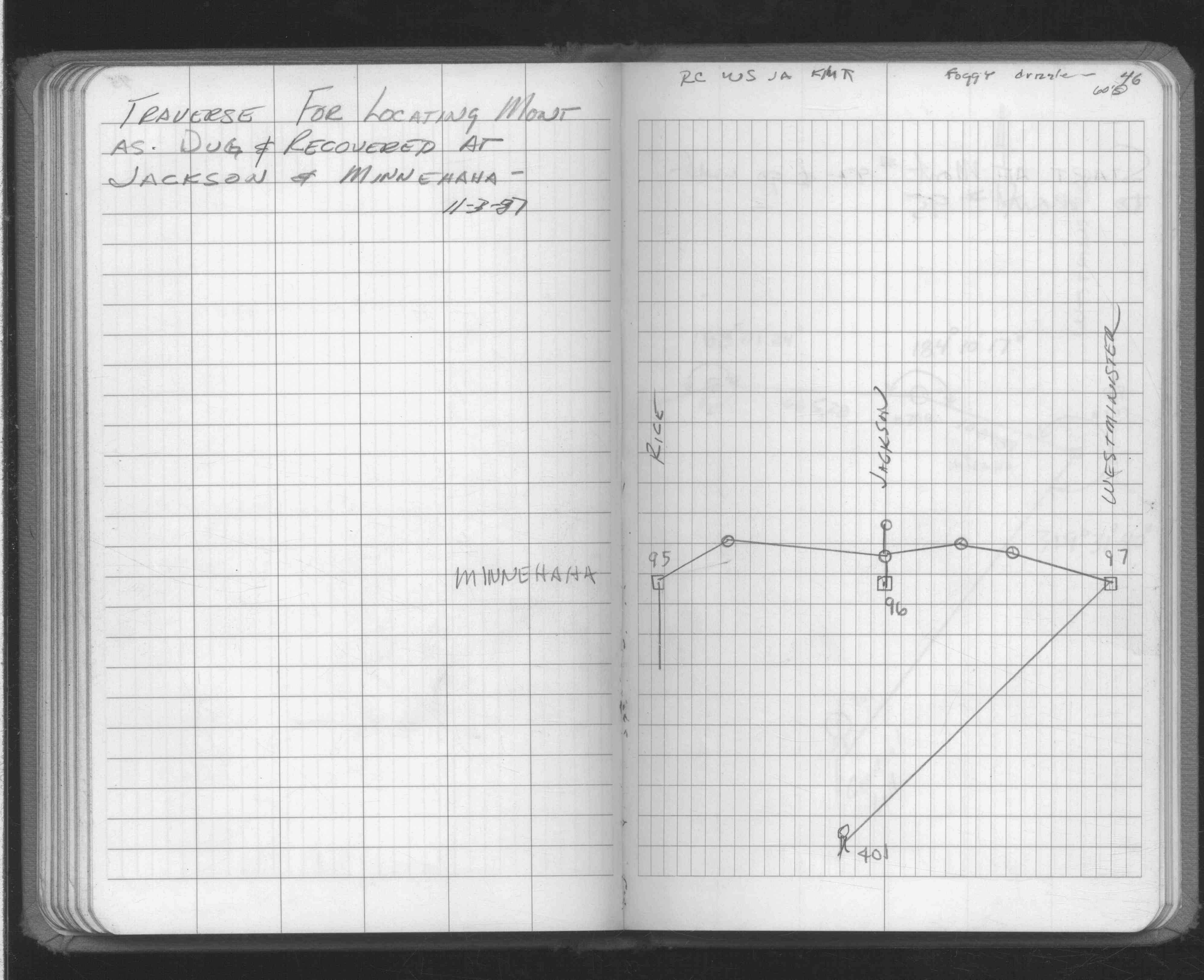
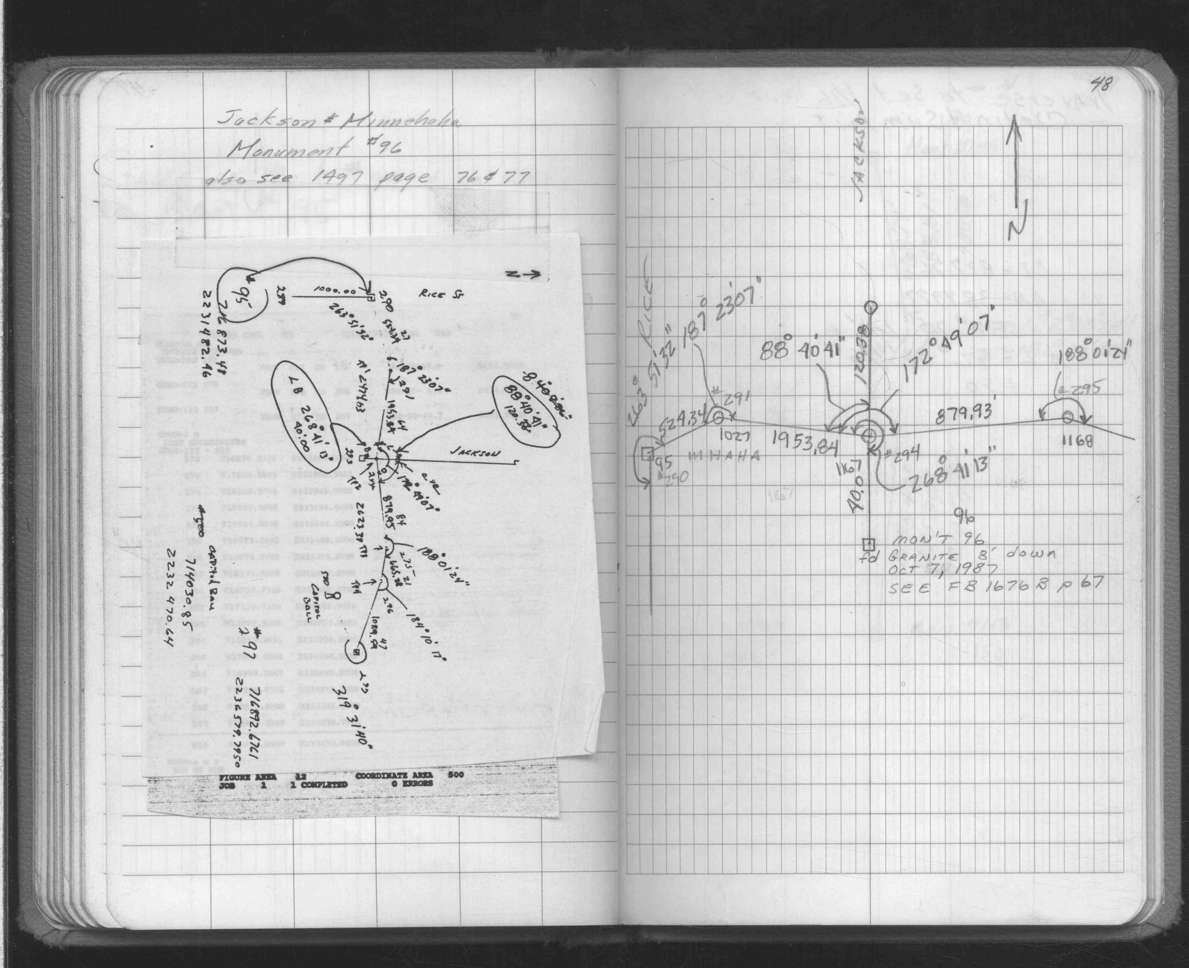
| 8/1/2001 | (Unknown date Aug __, 2001 ) In place concrete mon't does not check ties in JBI Book 23 p.68. See JBI 23 p.67-68 |
| 2/1/1999 | (Unknown date Feb __, 1999 ) Elev 97.21 ft on Concrete Mon. Topo with Set 5E. |
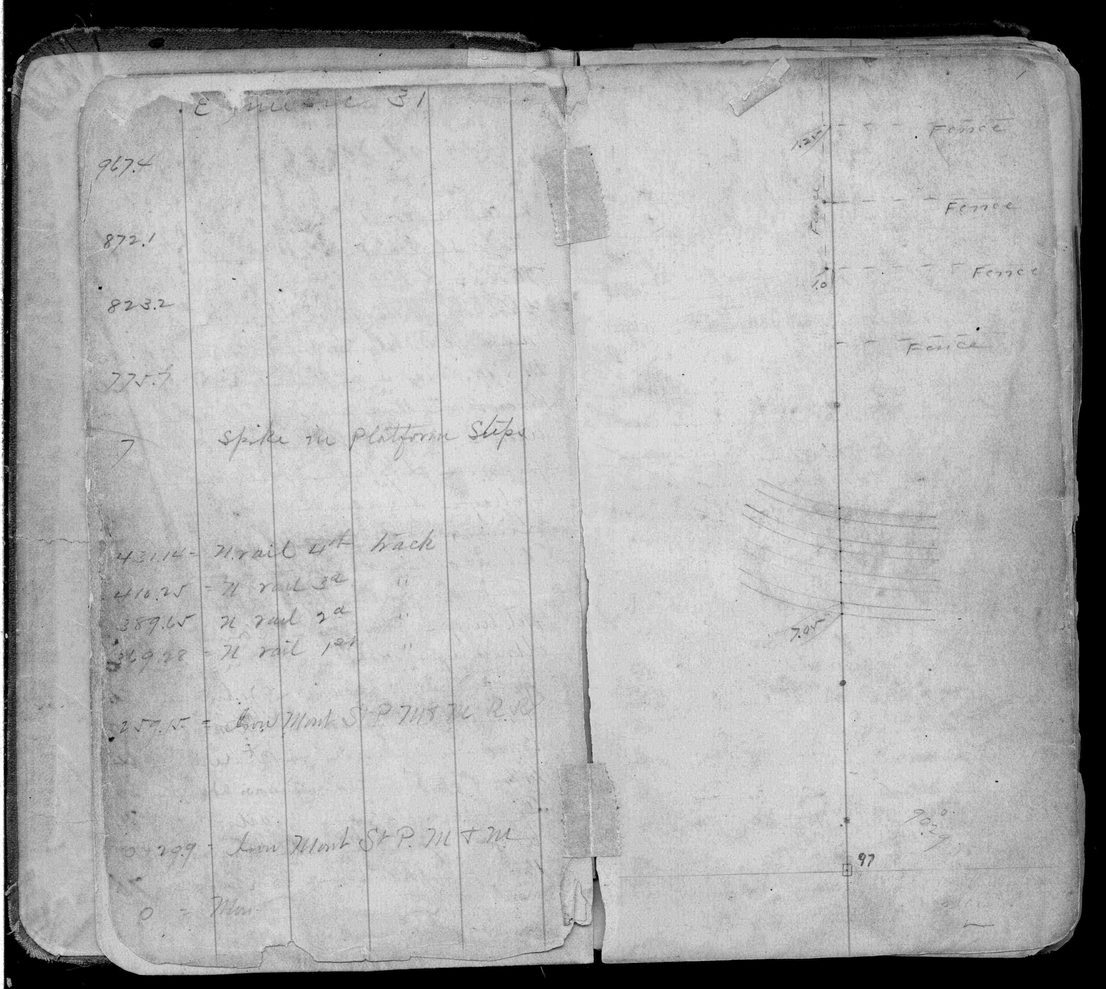
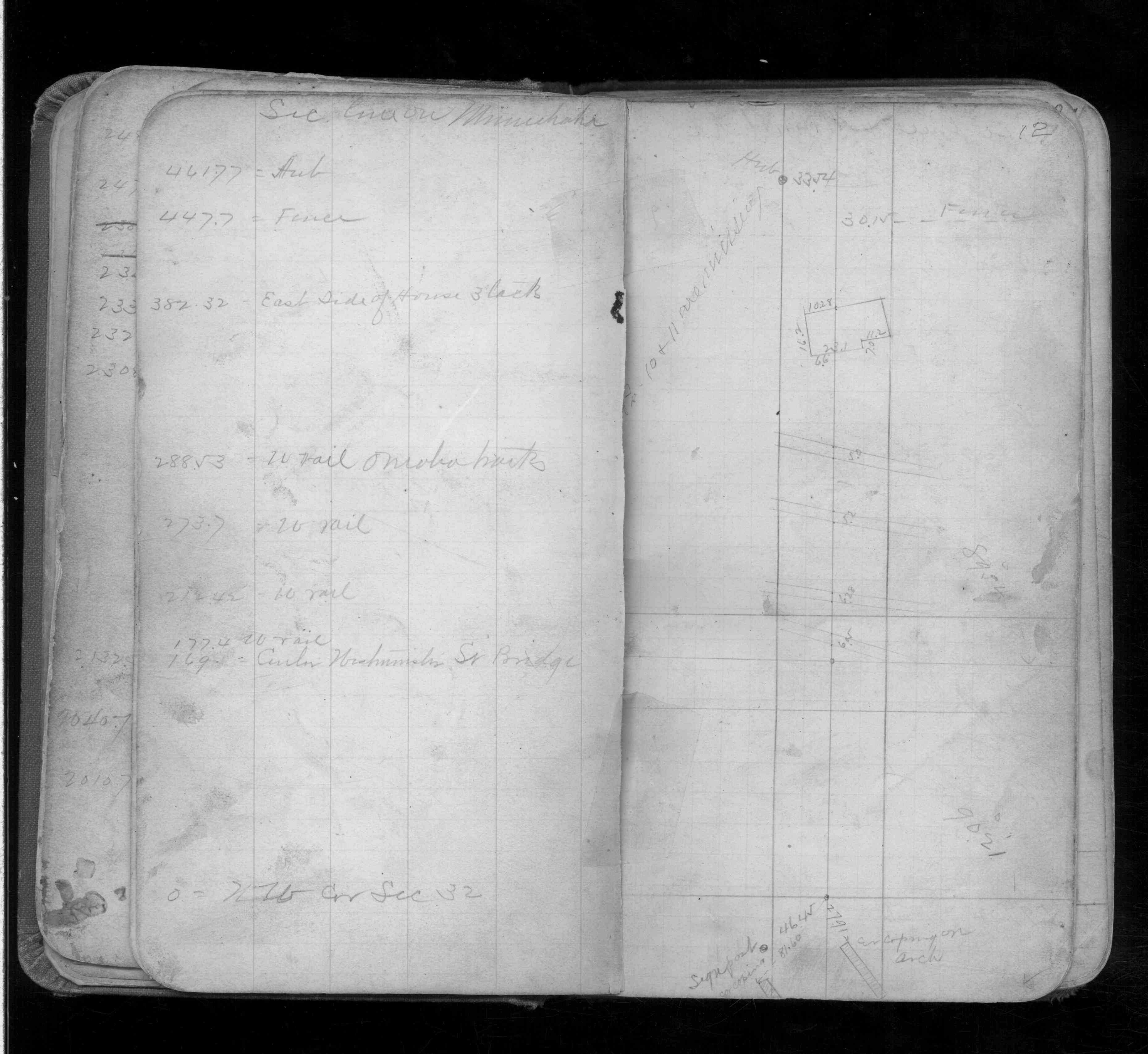
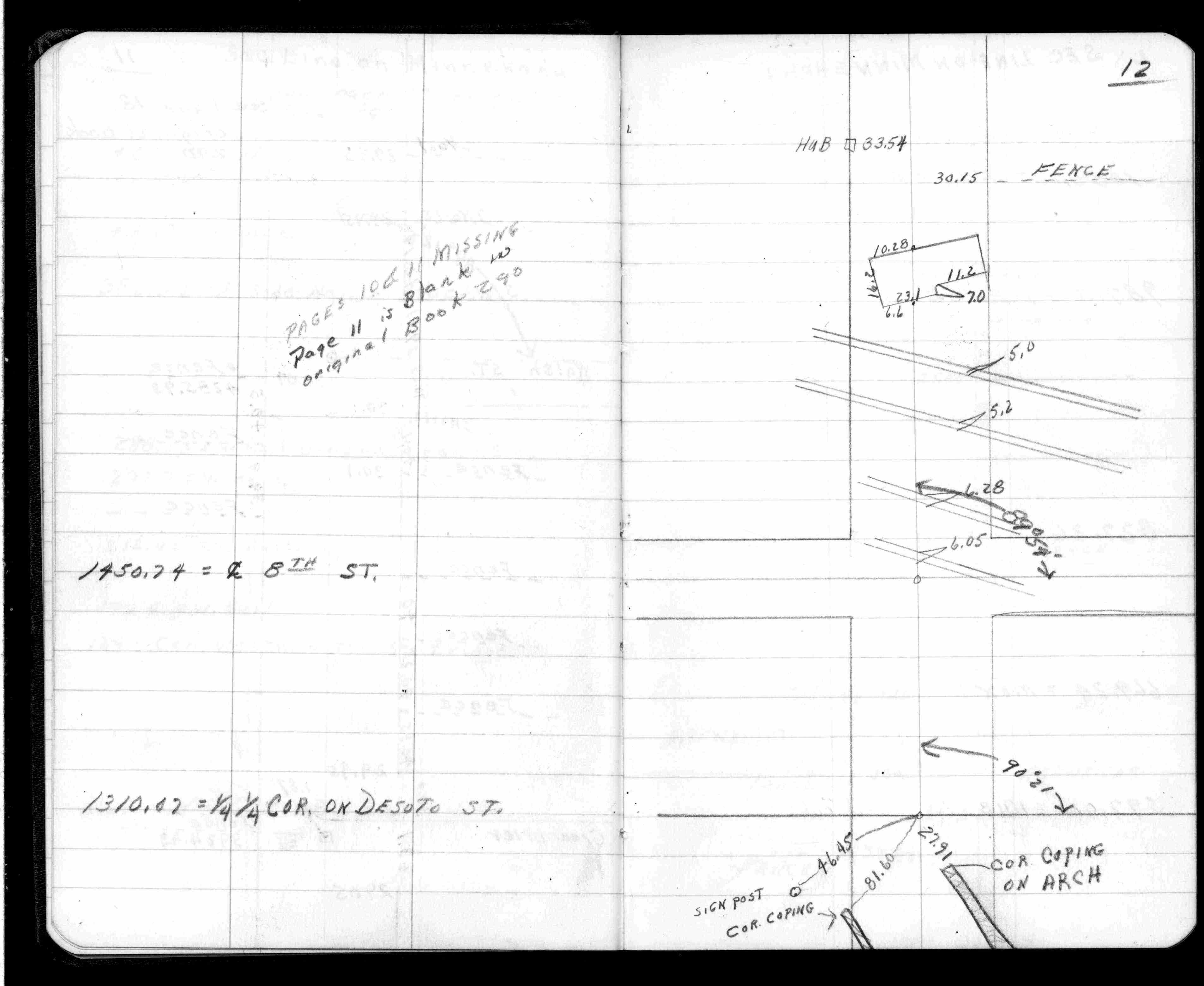
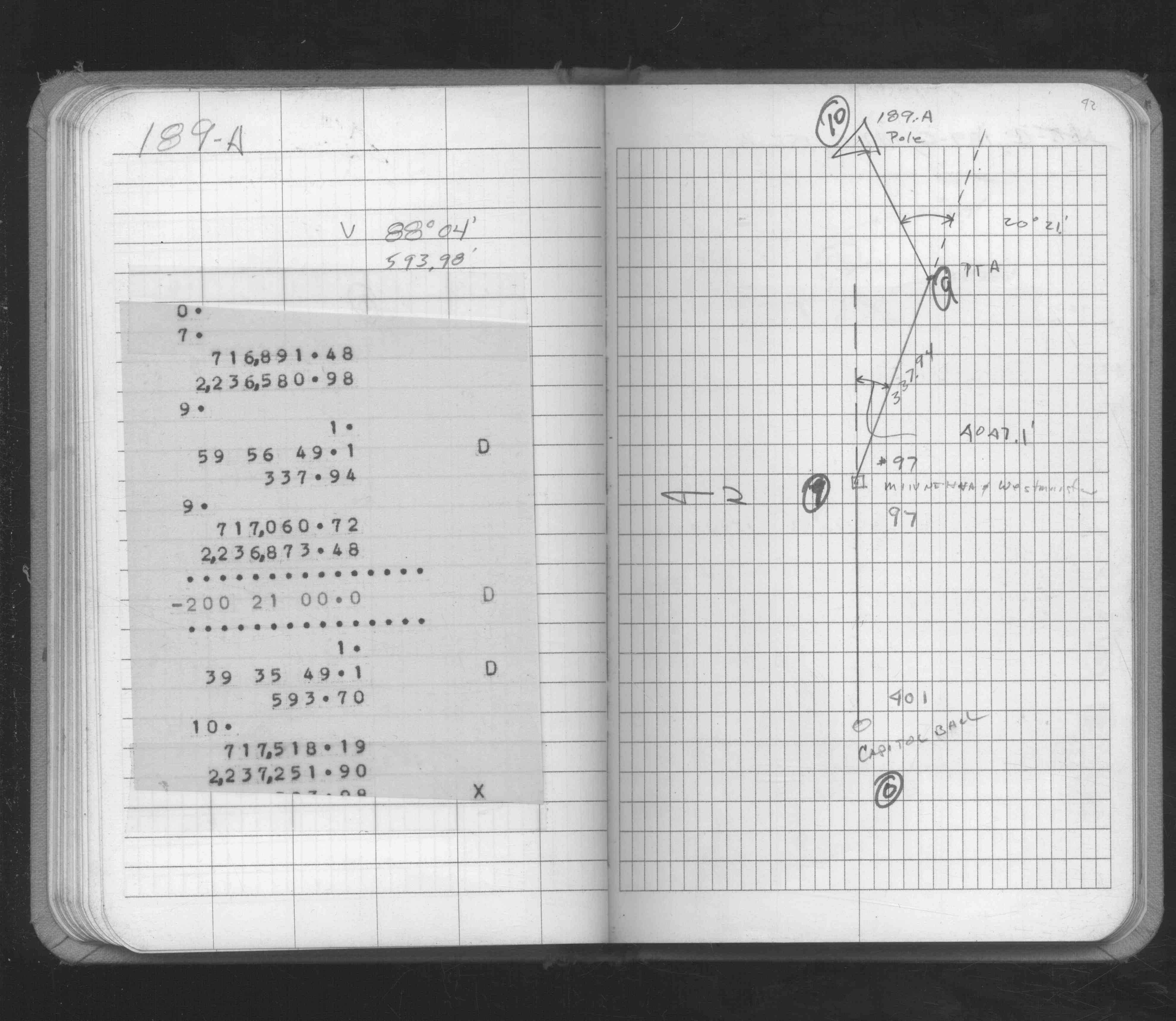
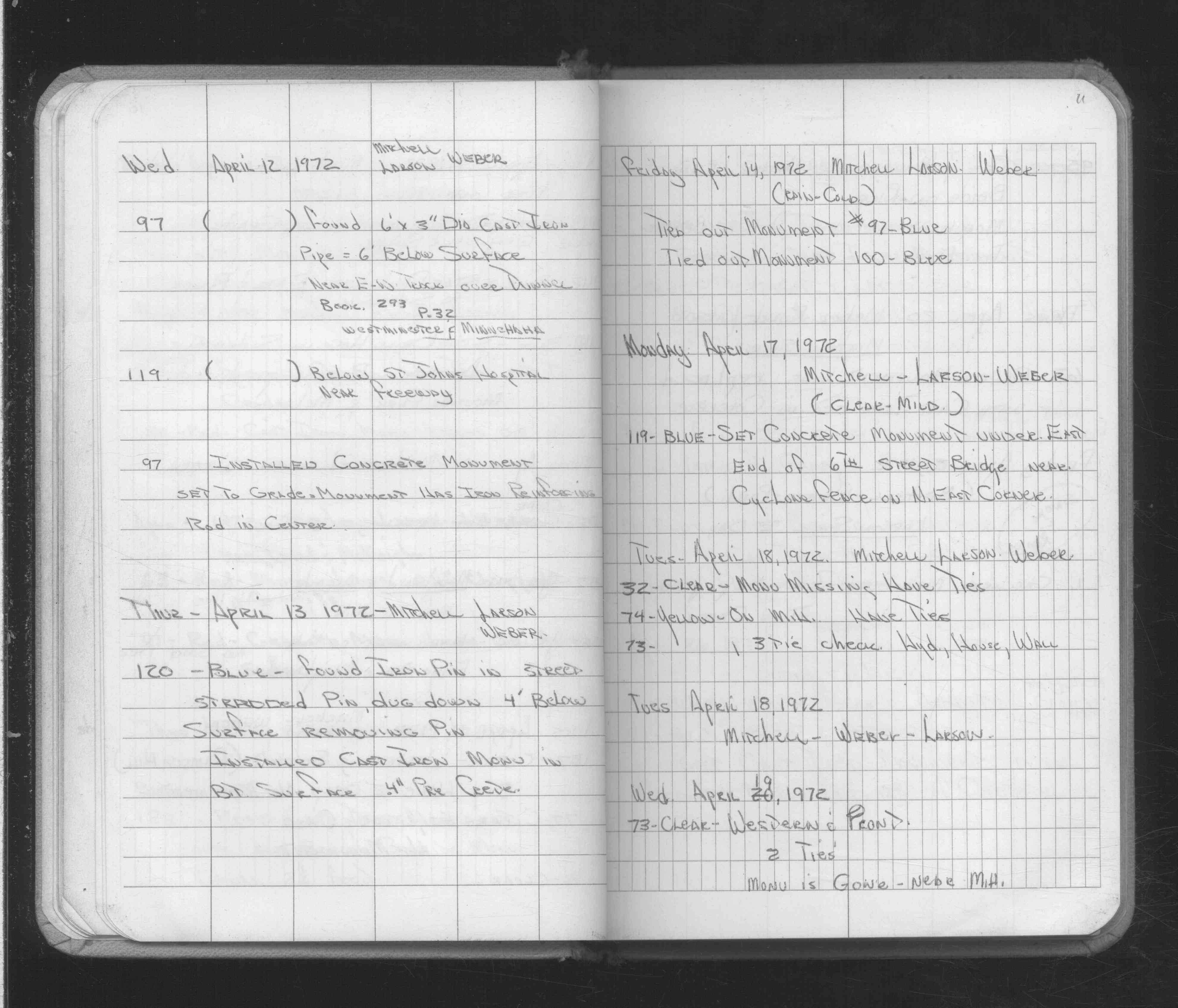
| 4/14/1972 | Placed ties. See FB 1689A p.11 |
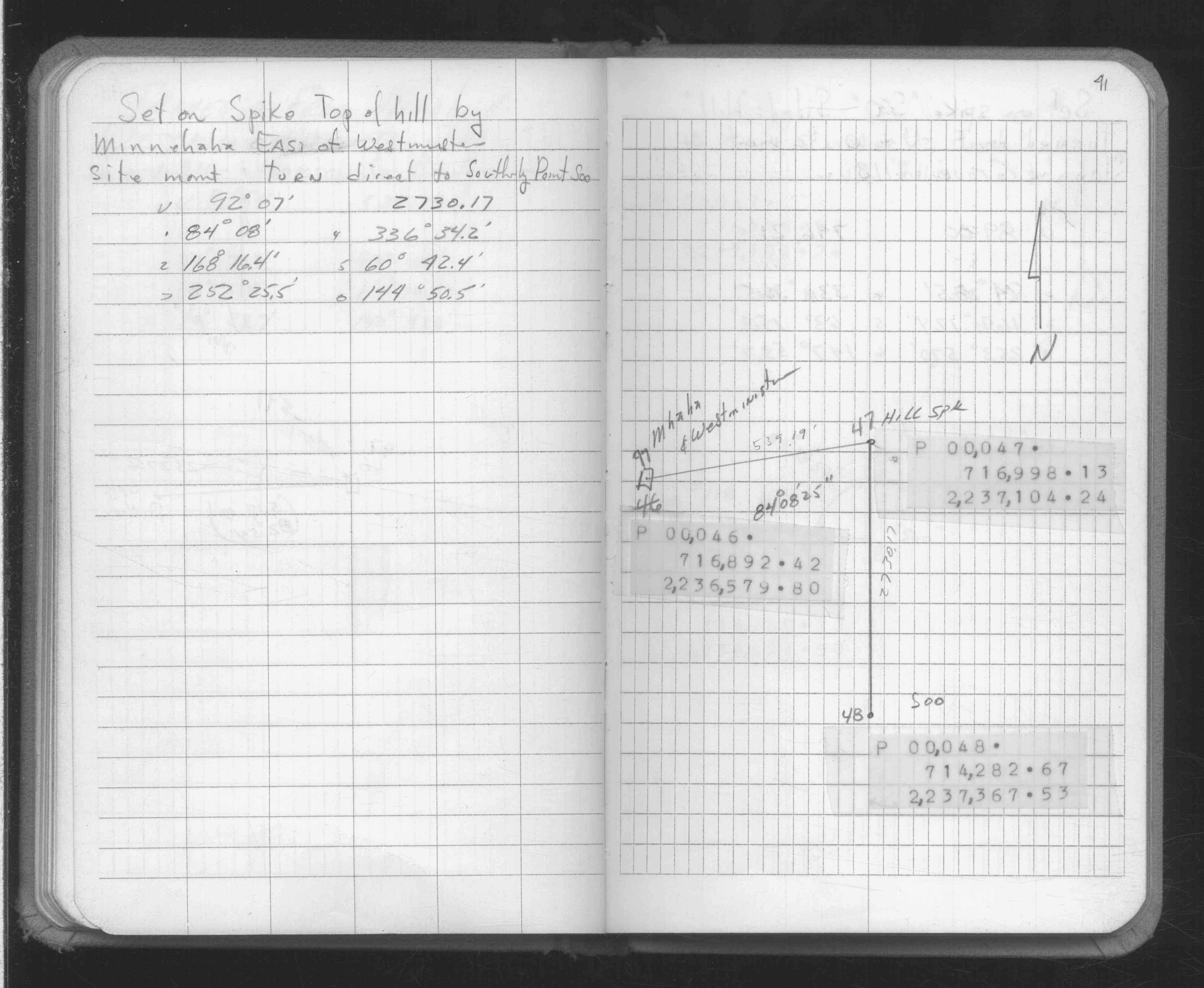
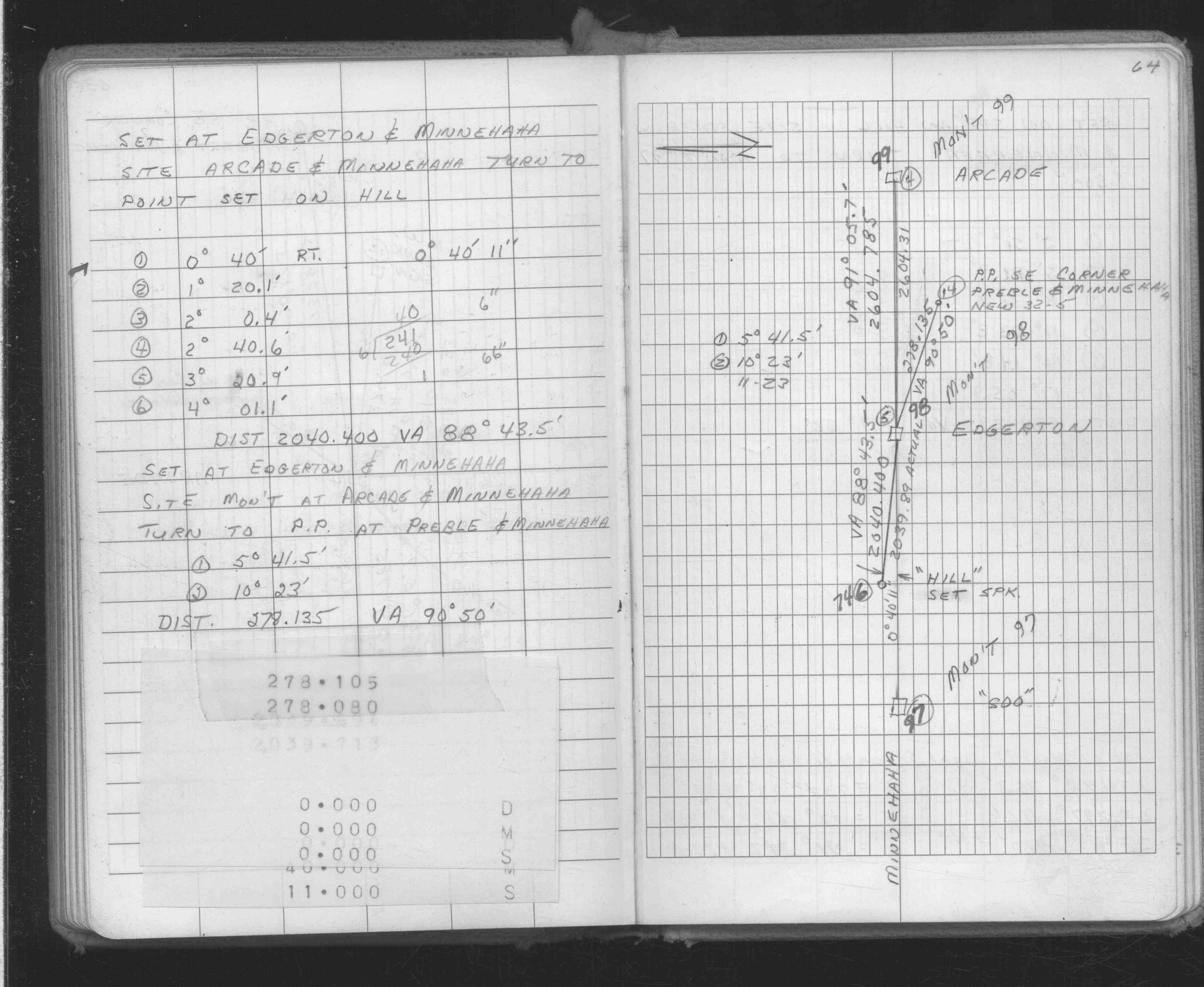
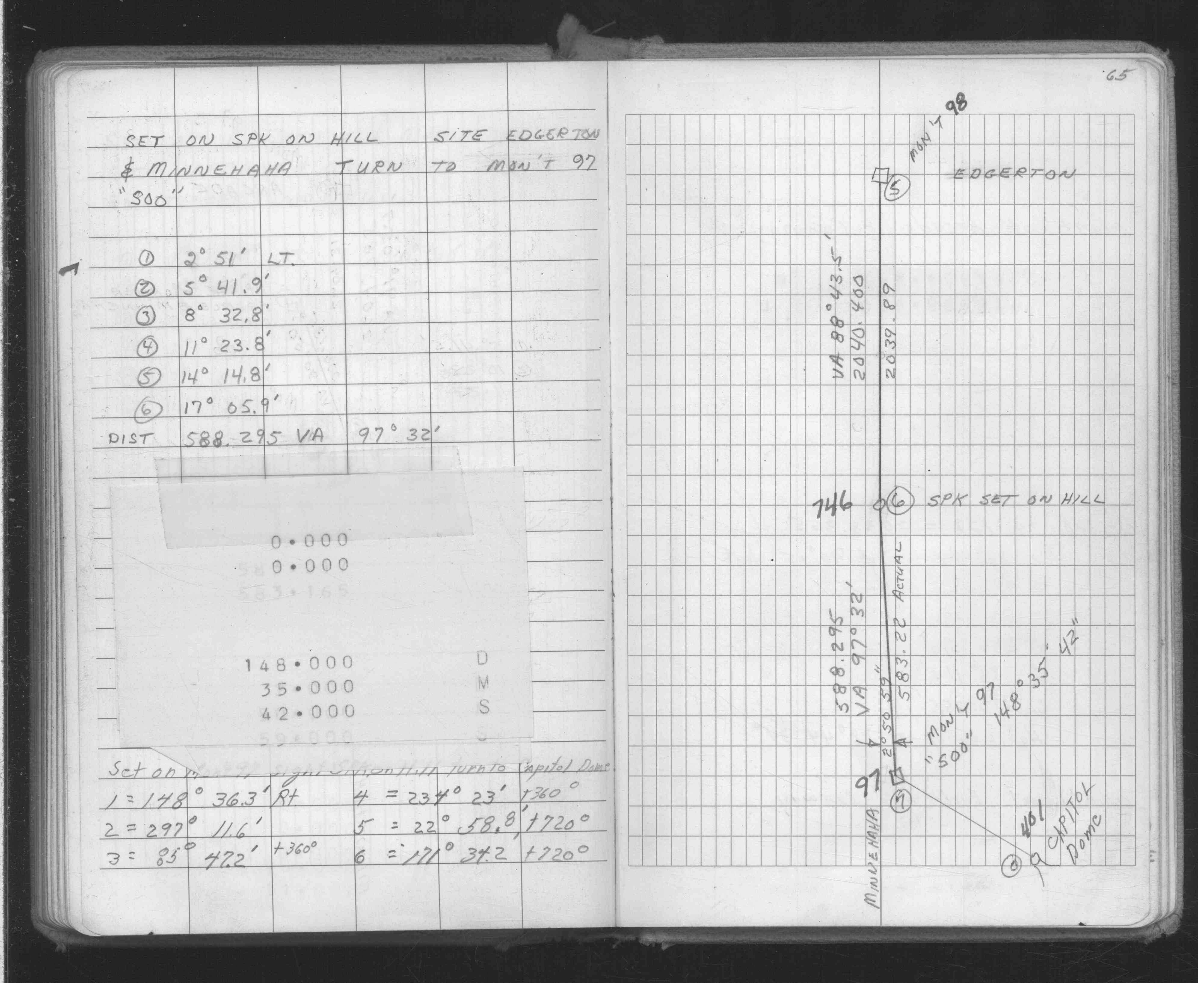
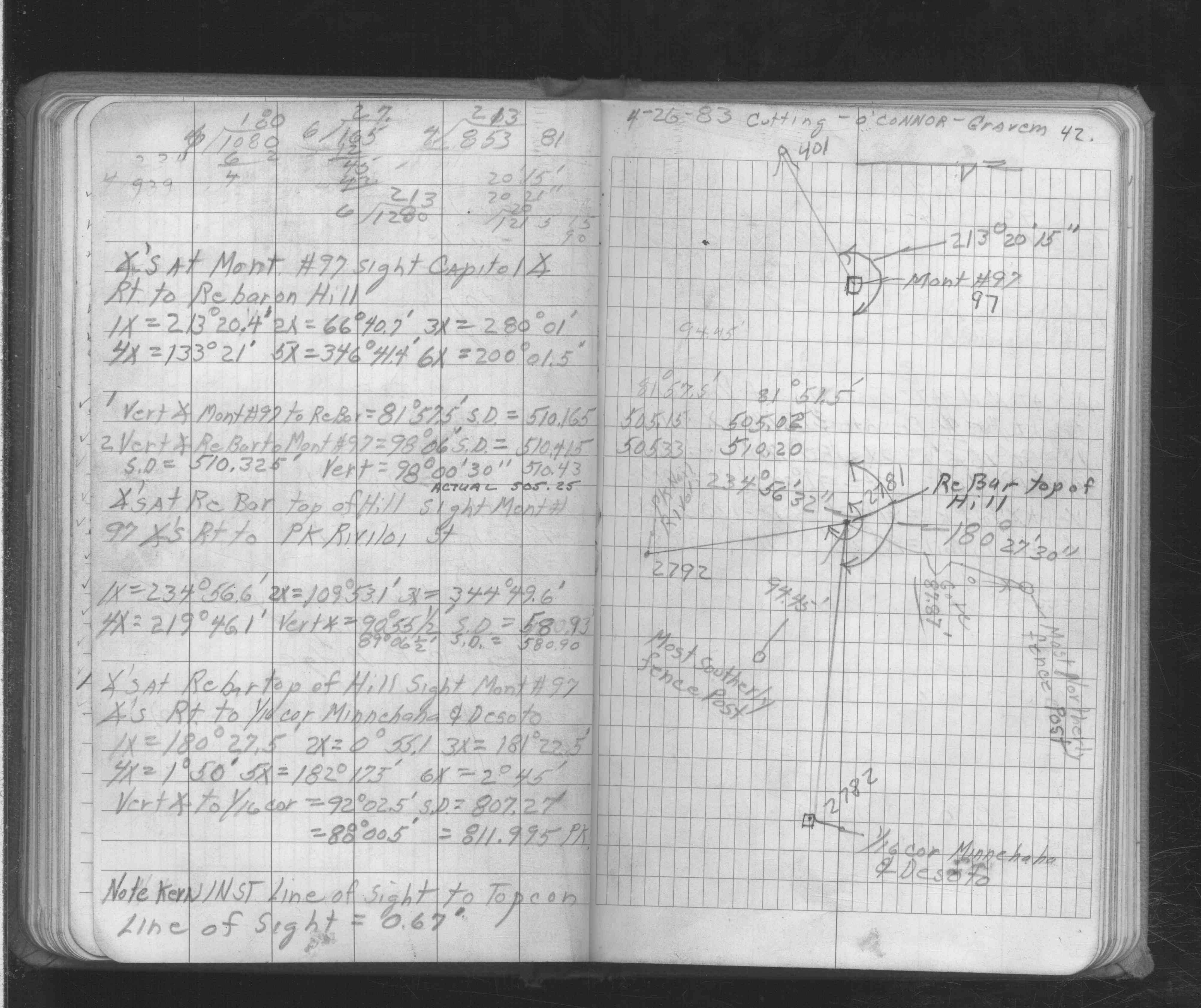
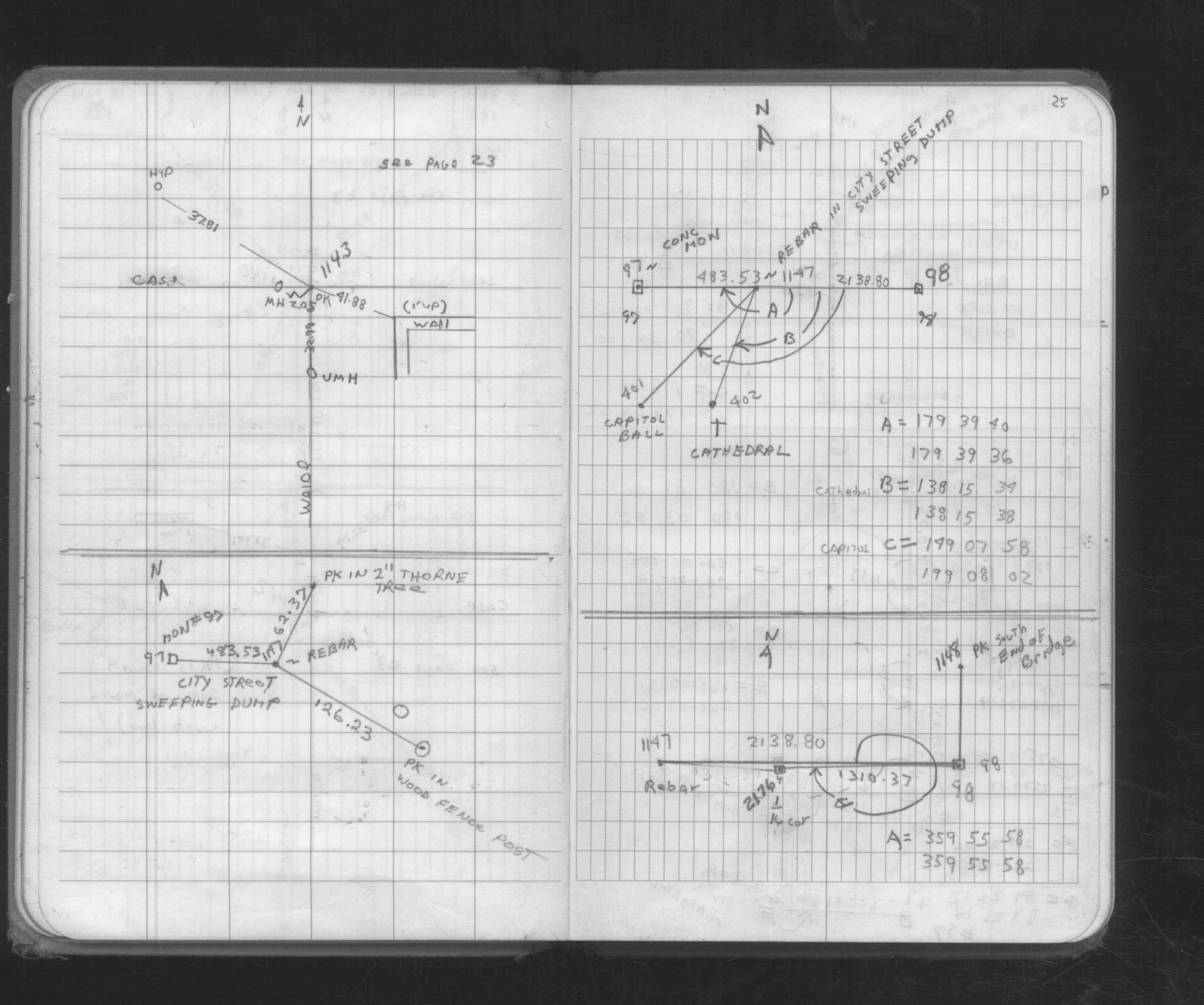
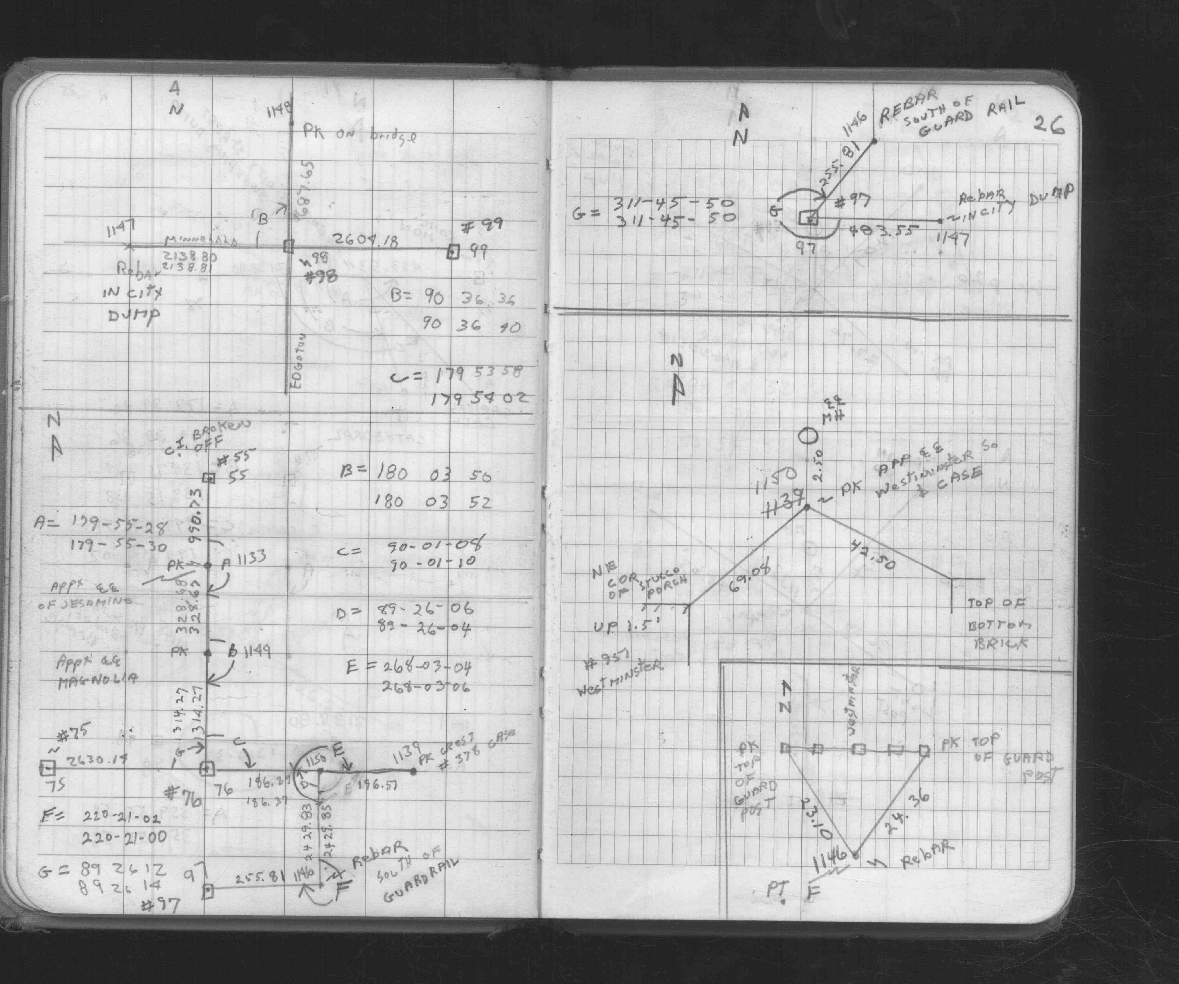
| 4/12/1972 | Set concrete monument with rebar in center to grade. See FB 1689A p.11 |
| 4/12/1972 | Fd 6' x 3" dia cast iron pipe 6' ft below surface. See FB 1689A p.11 |
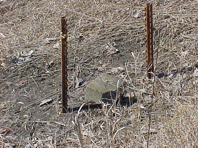
| 3/1/1972 | (Unknown date Mar __, 1972 ) Concrete Mon w/iron pin set 0.4 ft above grade, 2 green fence posts on sides |
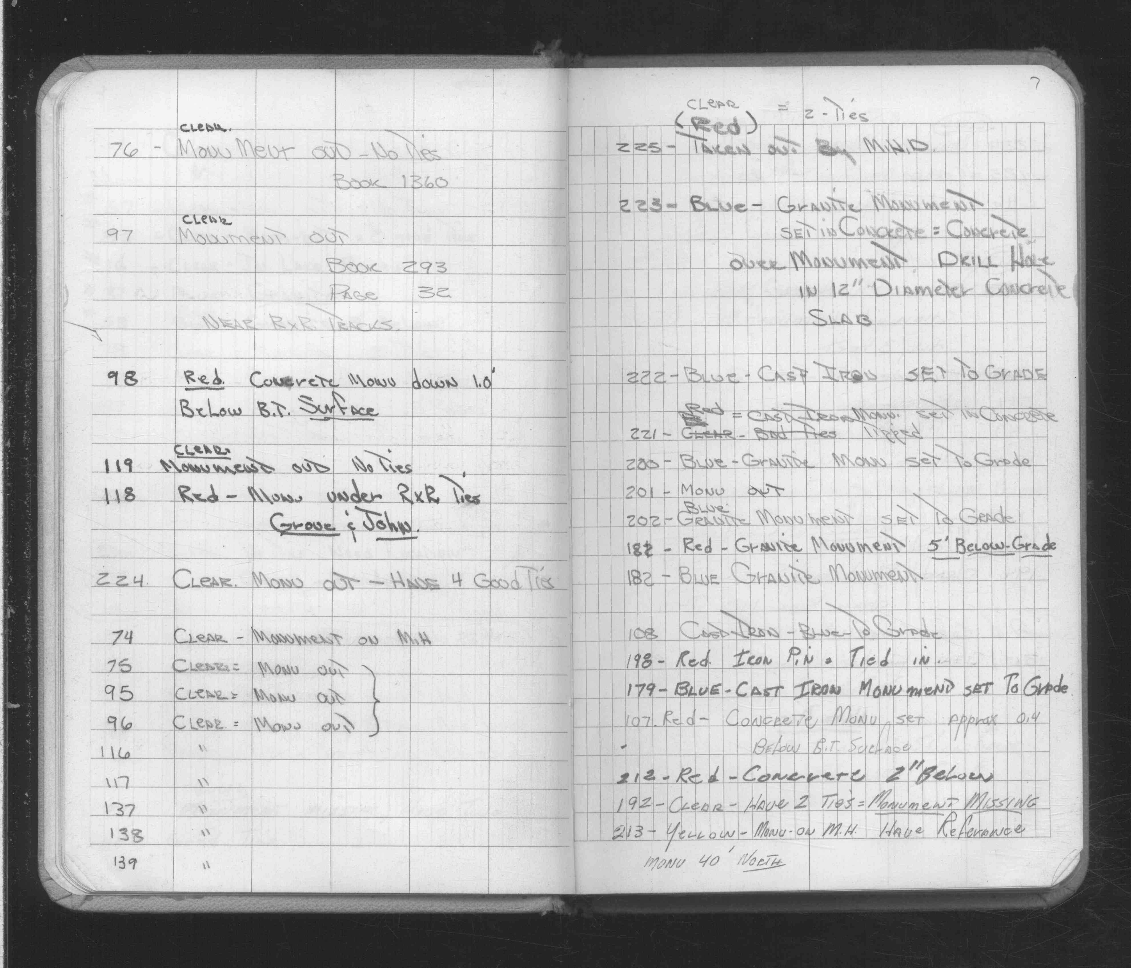
| 2/16/1972 | Monument out. (FB 293CPY p.32) See FB 1689A p.7 |
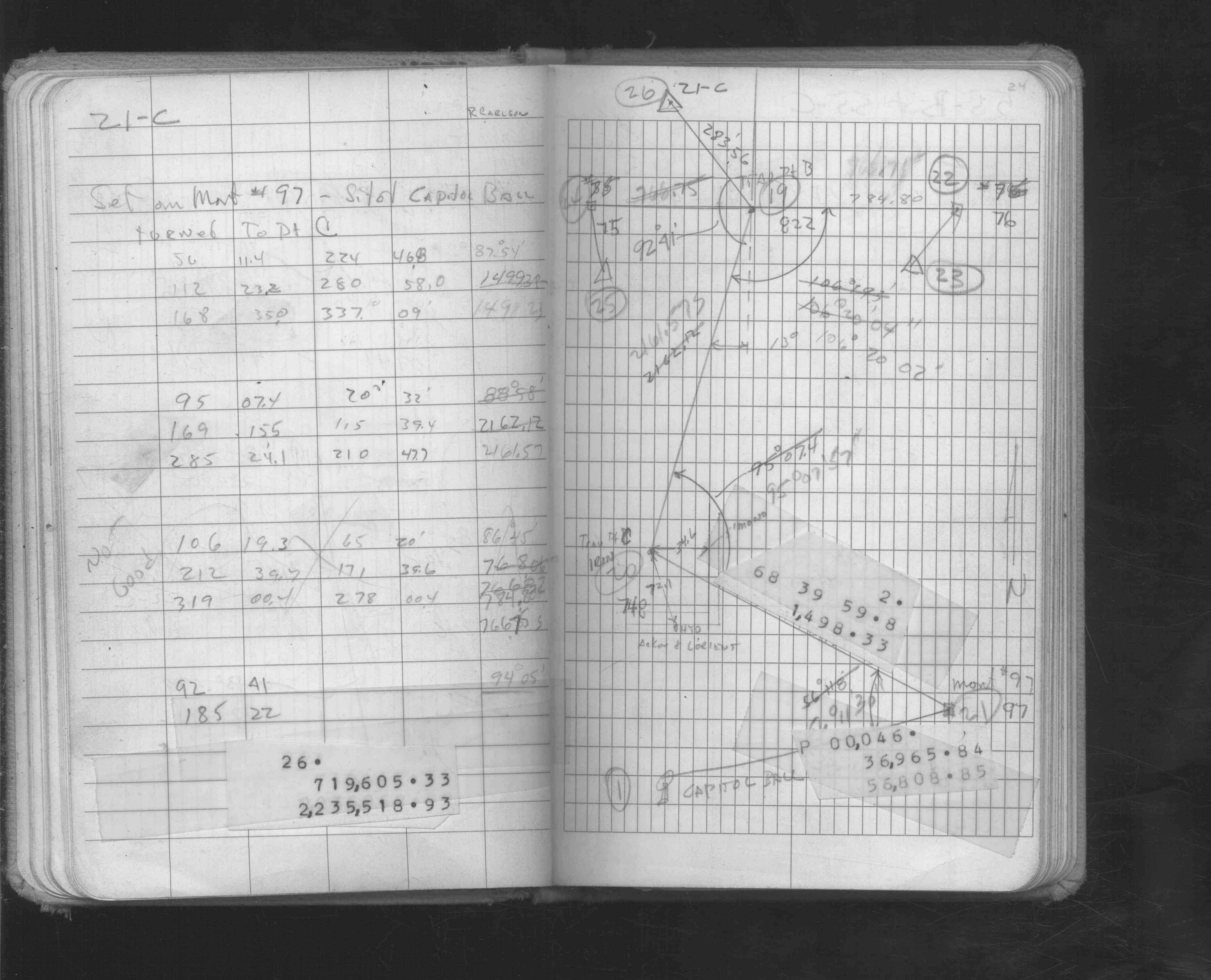
| 2/28/1963 | Iron set and placed ties by Irv Forsberg. See FB 293CPY p.32 See cogo point 3574 |
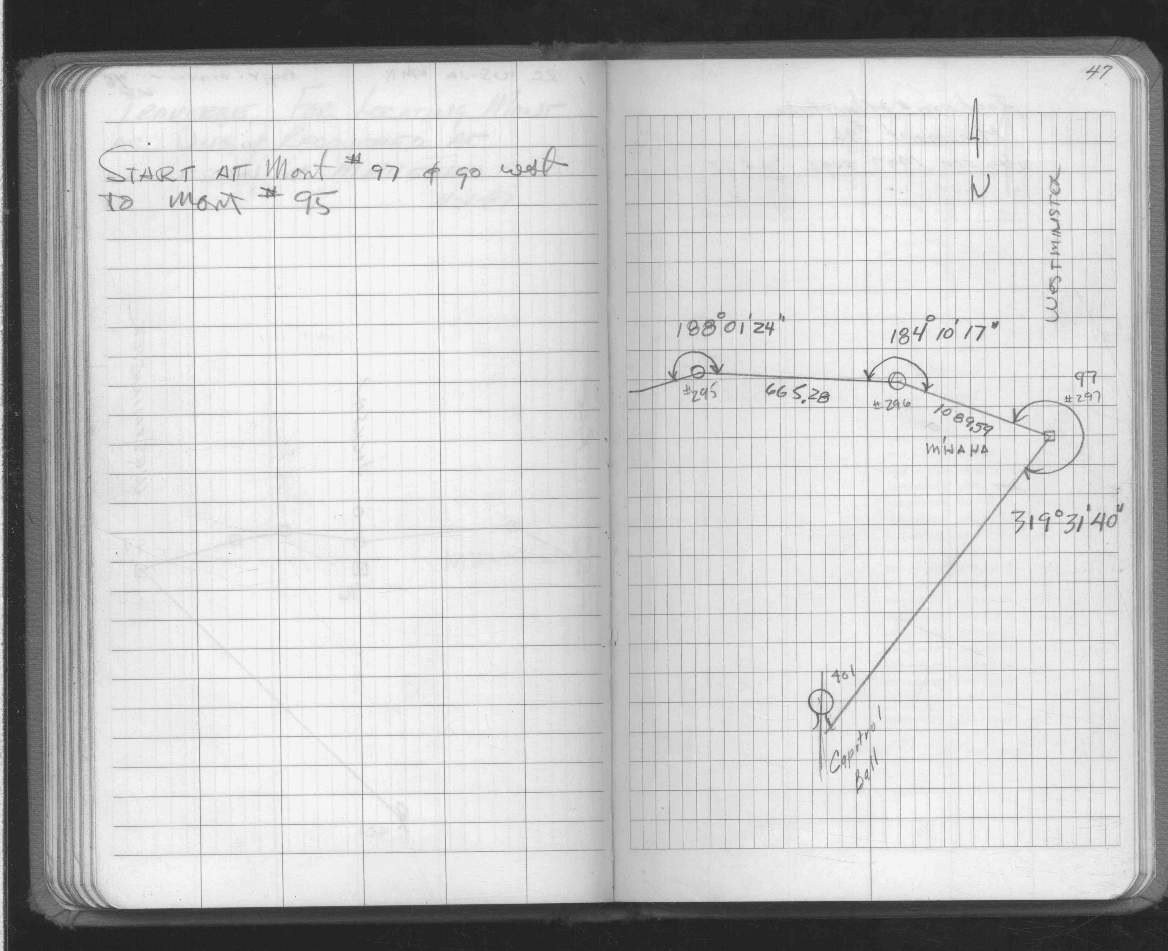
| 1/1/1890 | (Unknown date abt __, 189? ) Placed ties. See JBI 23 p.67-68 |
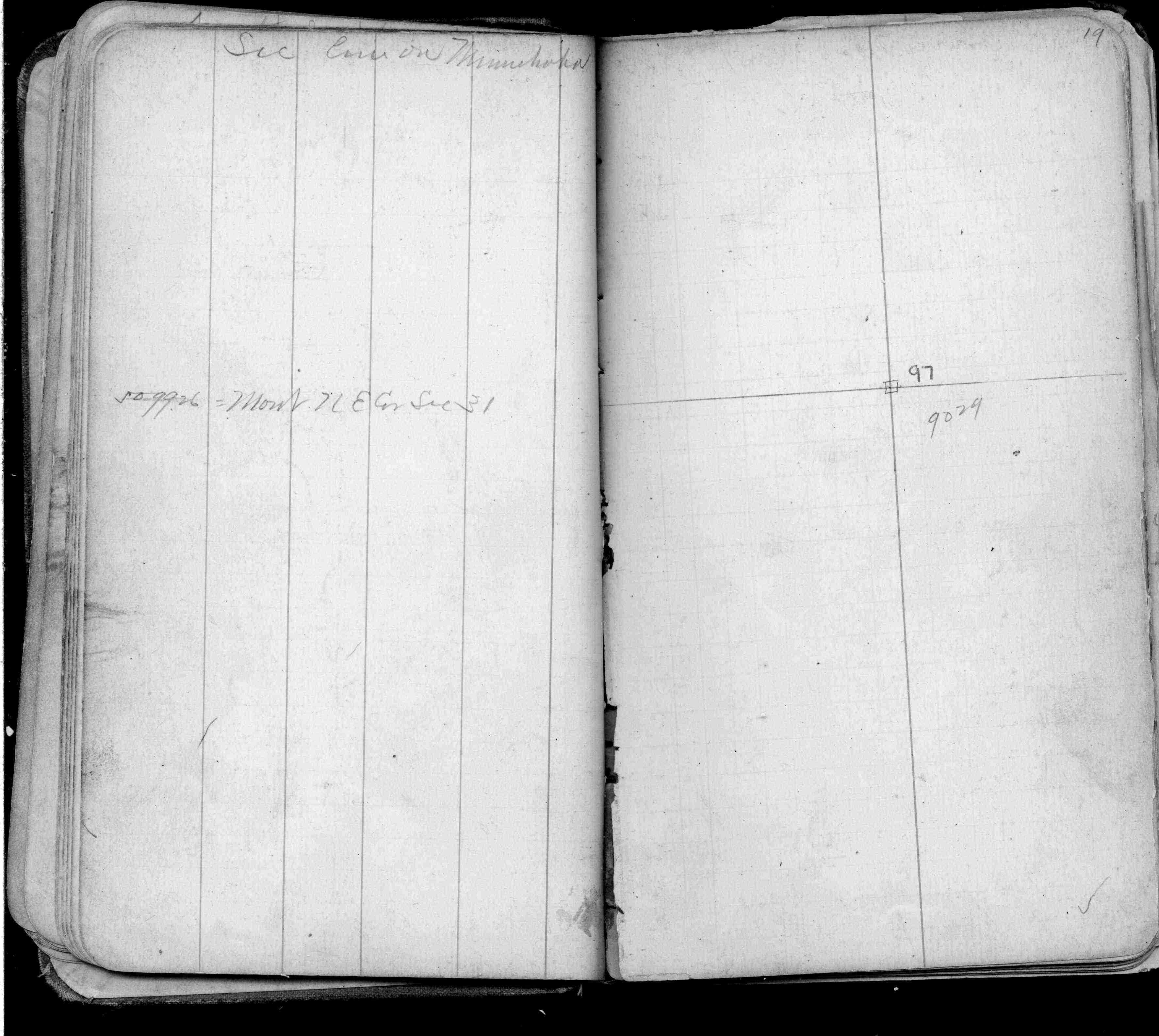
| 11/1/1847 | (Unknown date Nov __, 1847 ) Isaac N Higbee deputy surveyor set post. Tied to 2 BTs. See IH p.208-209 2922 |
| 1/1/1800 | (Unknown date ___ __, ____ ) Placed ties. See FB 293CPY p.32 |
| 1/1/1800 | (Unknown date ___ __, ____ ) Placed ties. See FB 290CPY p.12 |
| 1/1/1800 | (Unknown date ___ __, ____ ) Placed ties. See FB 290 p.12 |
Above is NOT an all inclusive history of this point. Please review all the links below.
| PLS NOTES | Field | Cross Section | Sewer | J.B. Irvine | Monument | River Survey |
|---|---|---|---|---|---|---|
| IH p.208-209 | FB 0122p. 51 ,53 | JBI 23 p.67-68 | ||||
| FB 0198p. 48 ,70 | ||||||
| FB 0234p. 43 ,45 ,53 | ||||||
| FB 0283p. 01 ,19 | ||||||
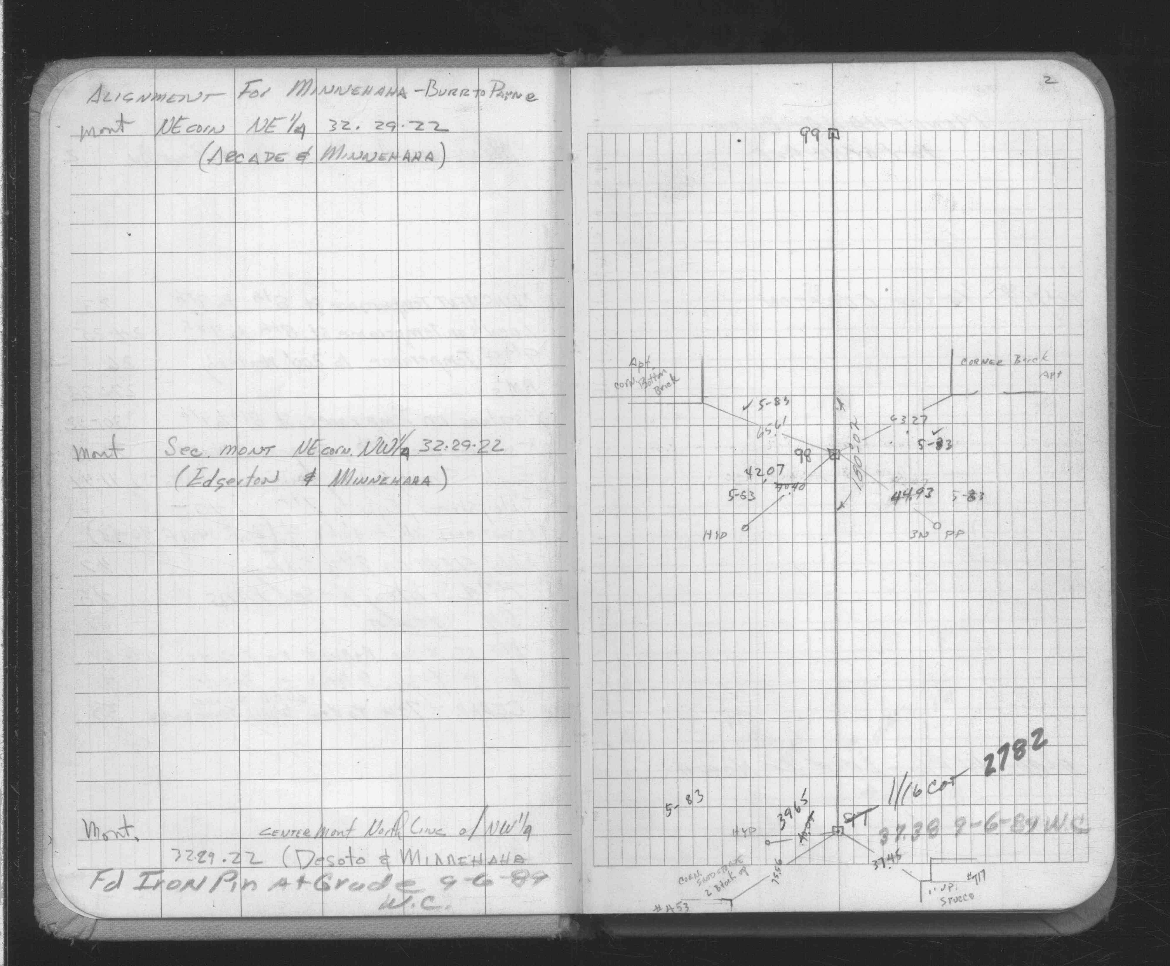
| FB 0290p.11 | ||||||
| FB 0290p.12 | ||||||
| FB 0290CPYp.12 | ||||||
| FB 0293CPYp.32 | ||||||
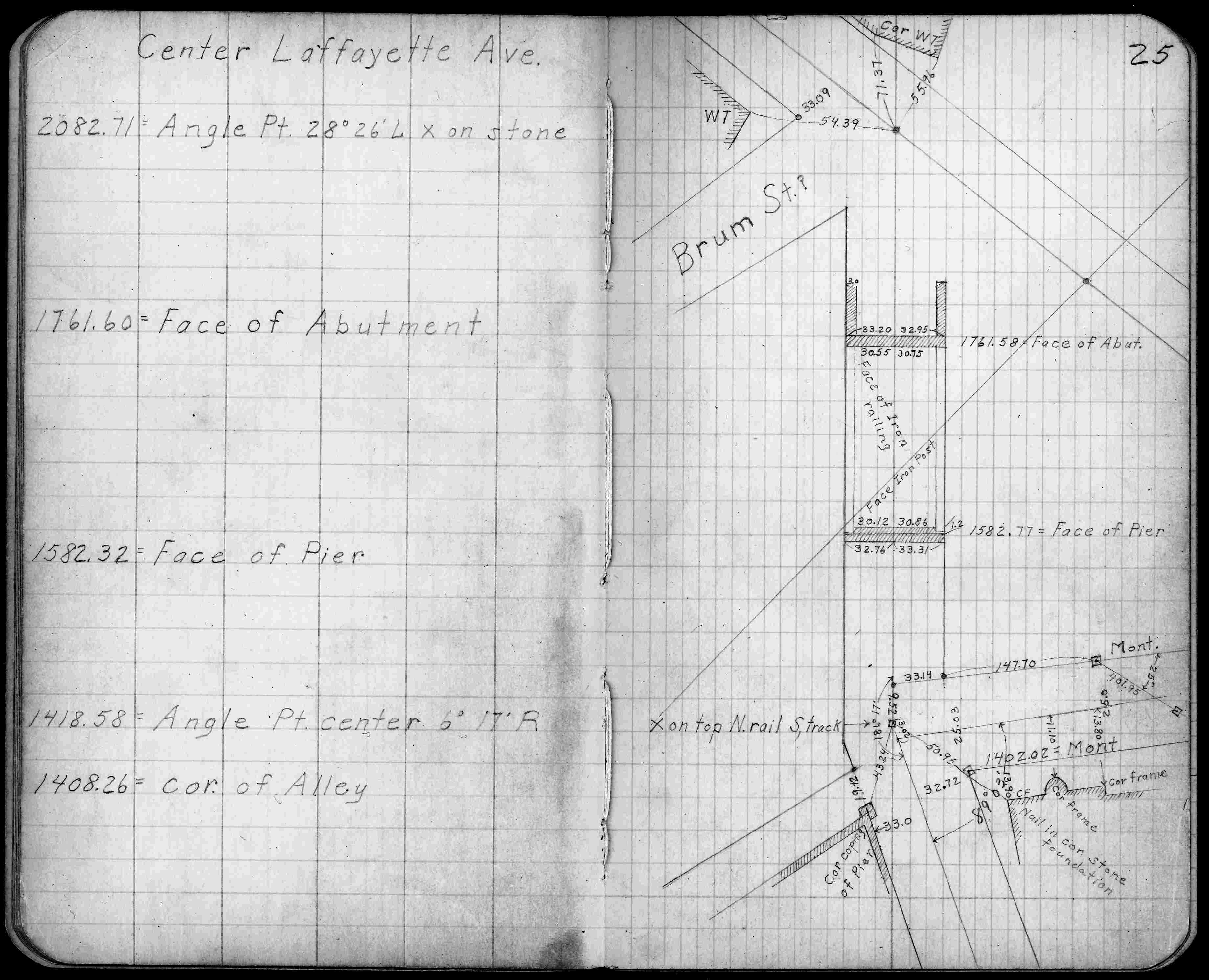
| FB 0299p.25 | ||||||
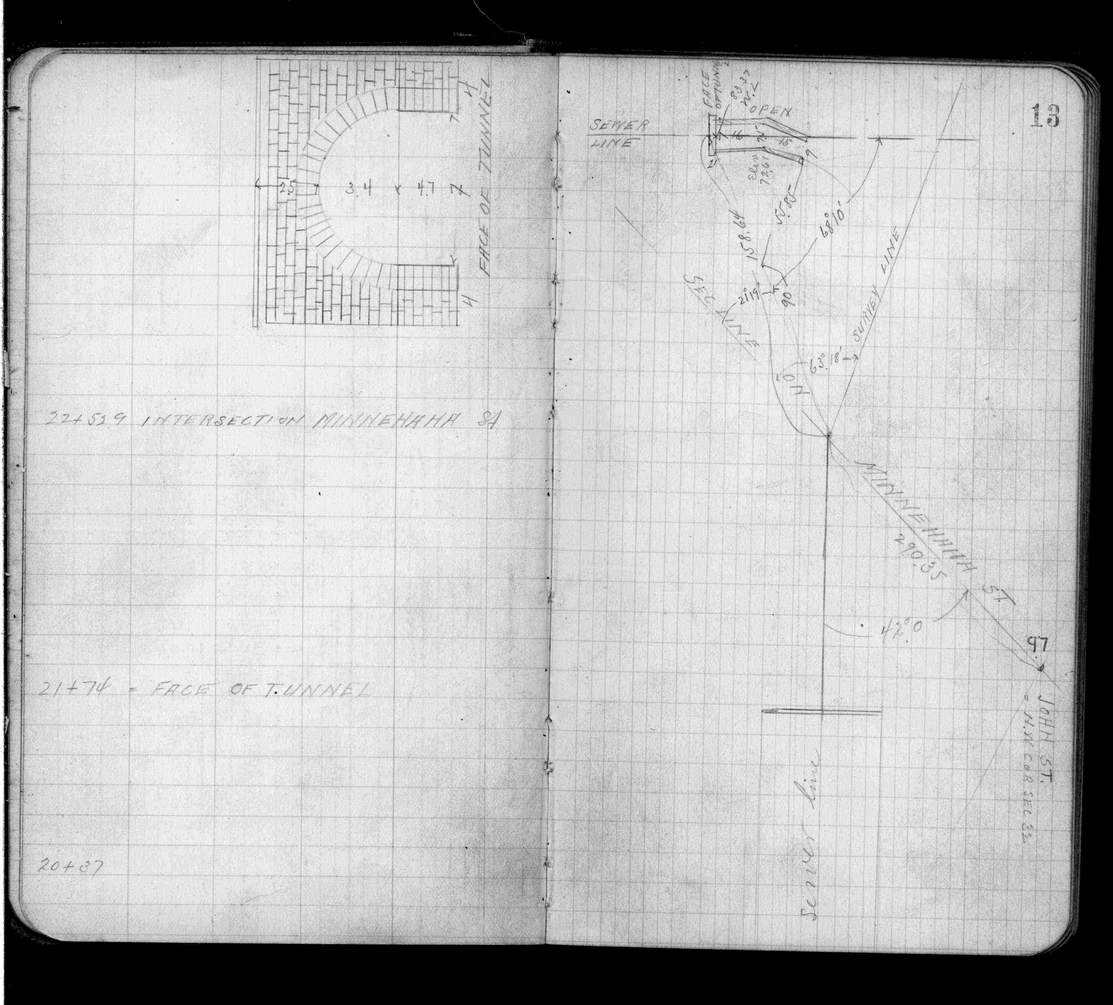
| FB 0629p.13 | ||||||
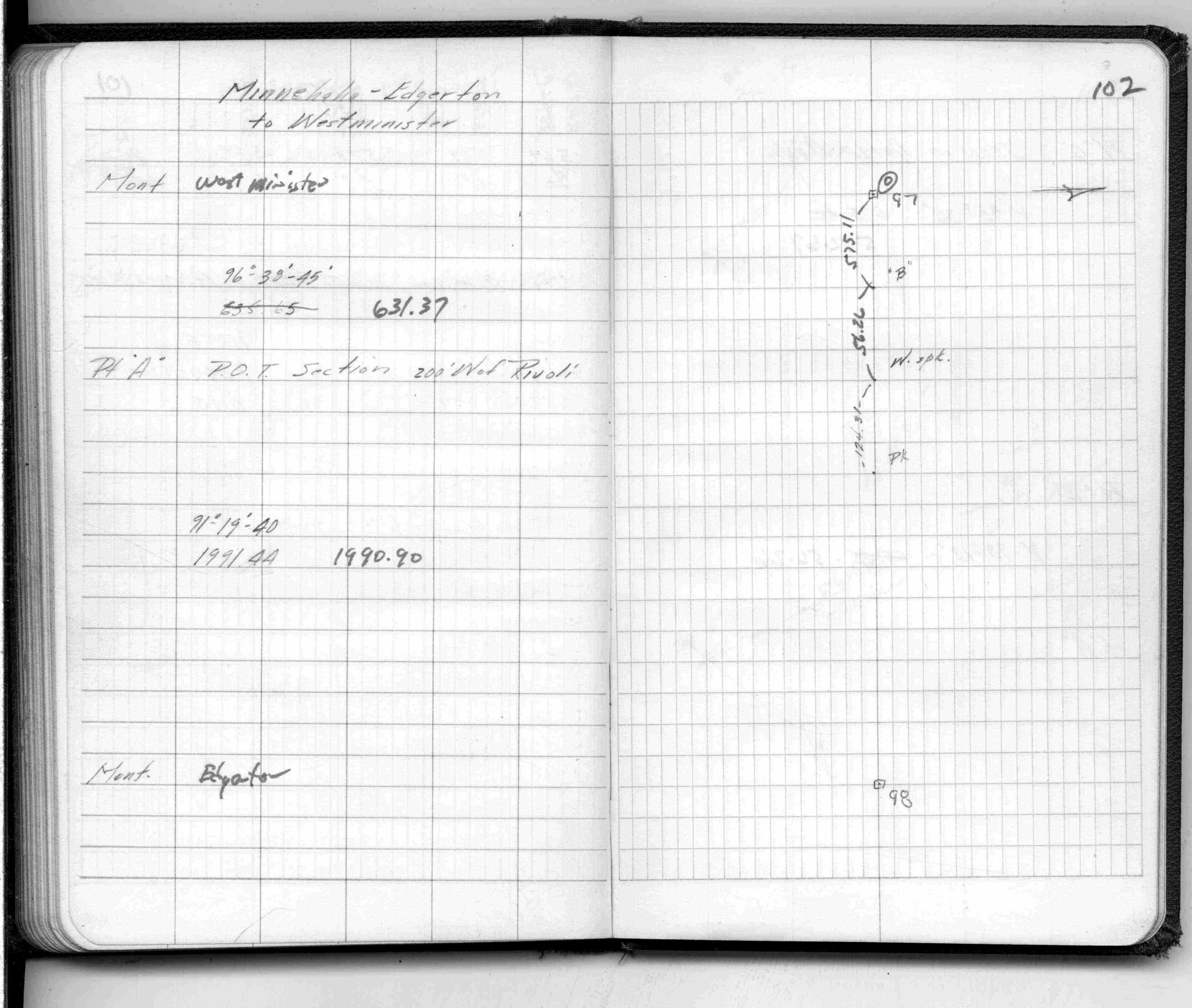
| FB 1329Ap.102 | ||||||
| FB 1549Cp.40 | ||||||
| FB 1549Fp.55 | ||||||
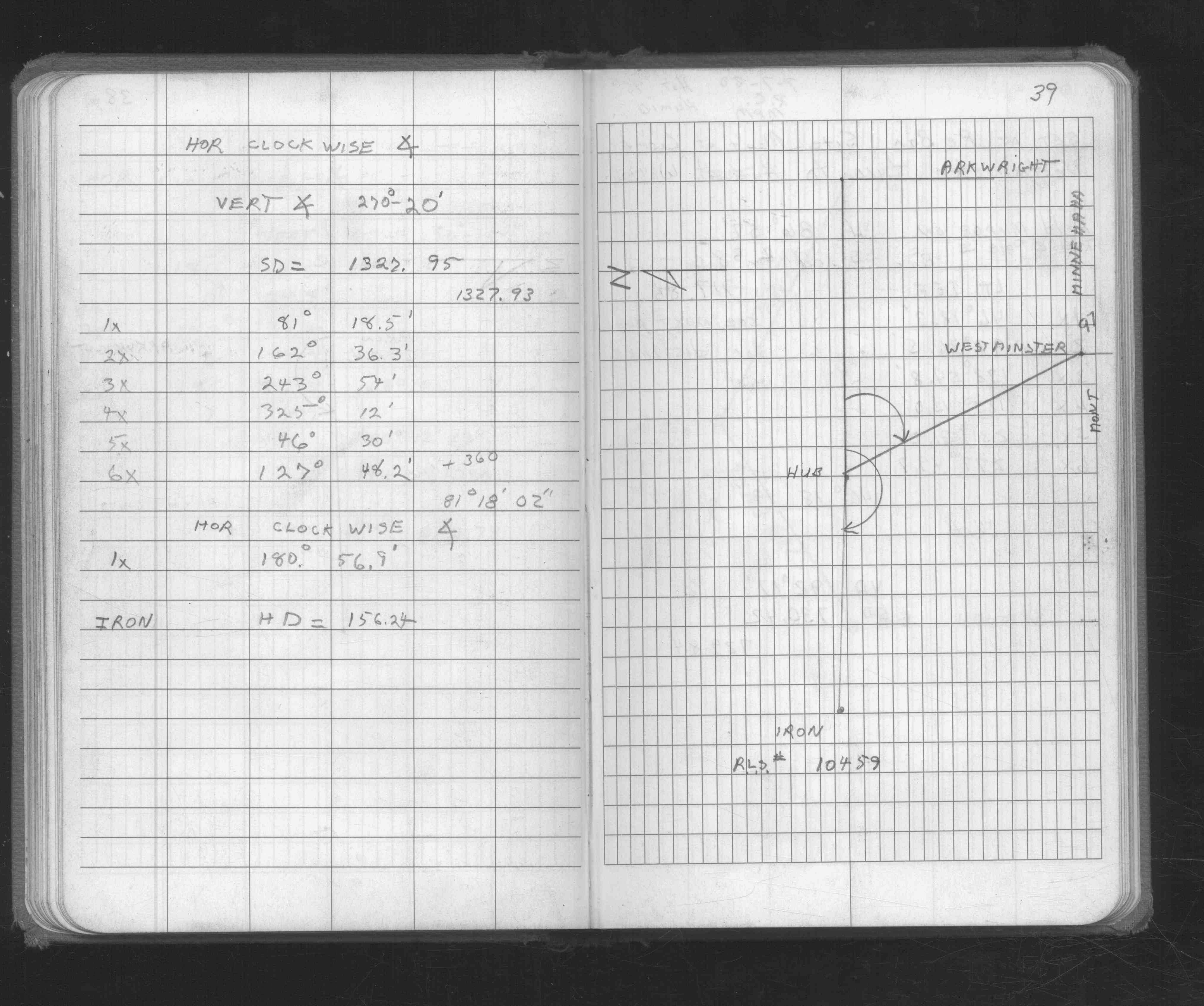
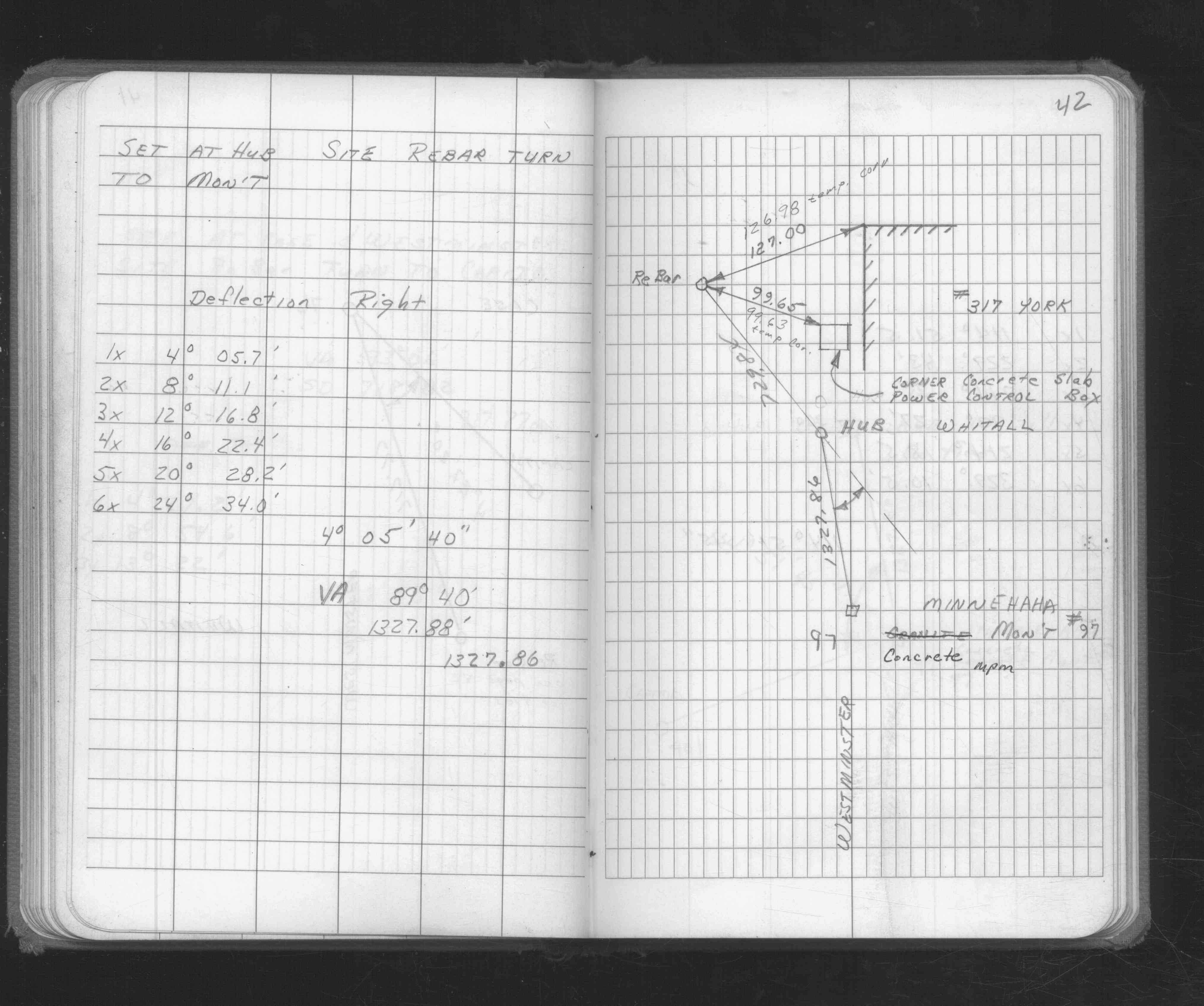
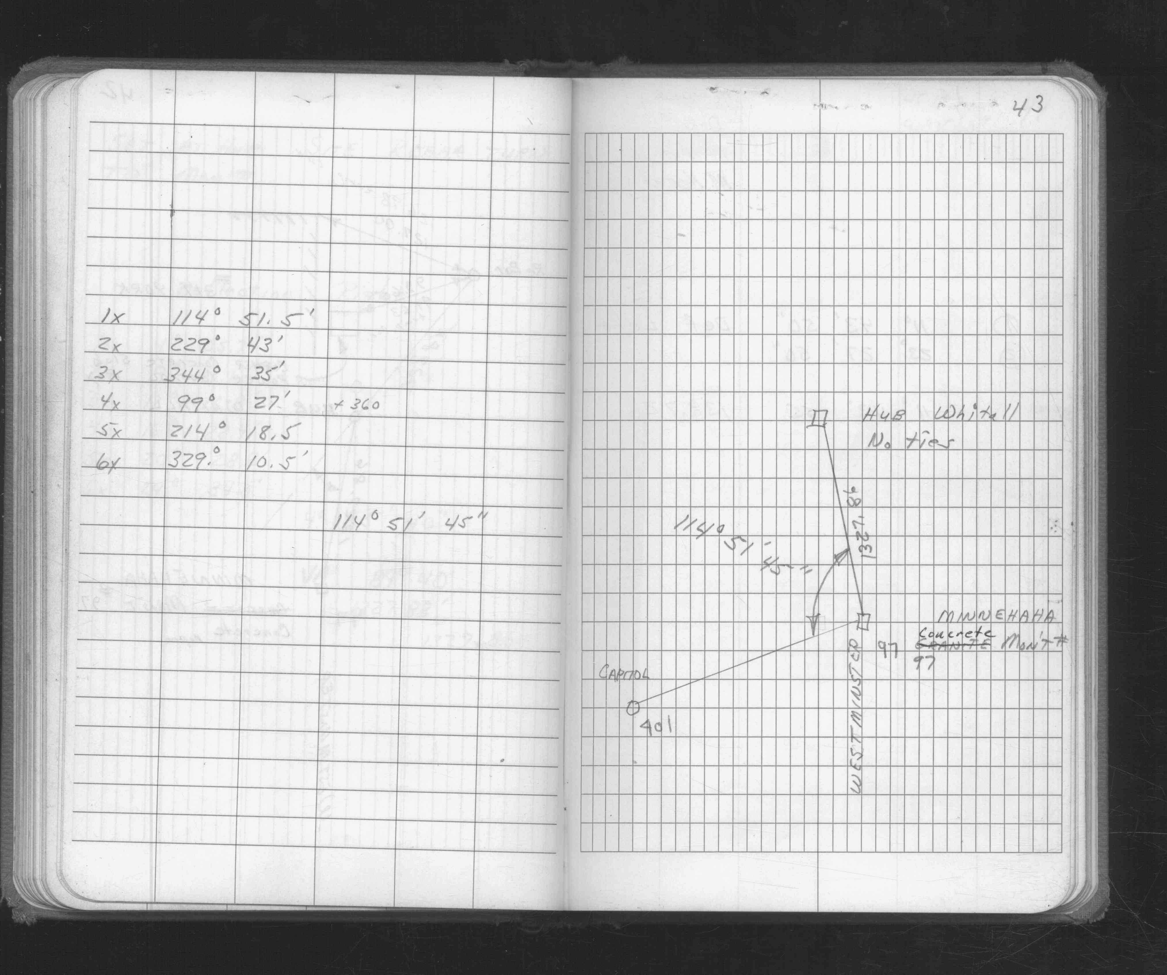
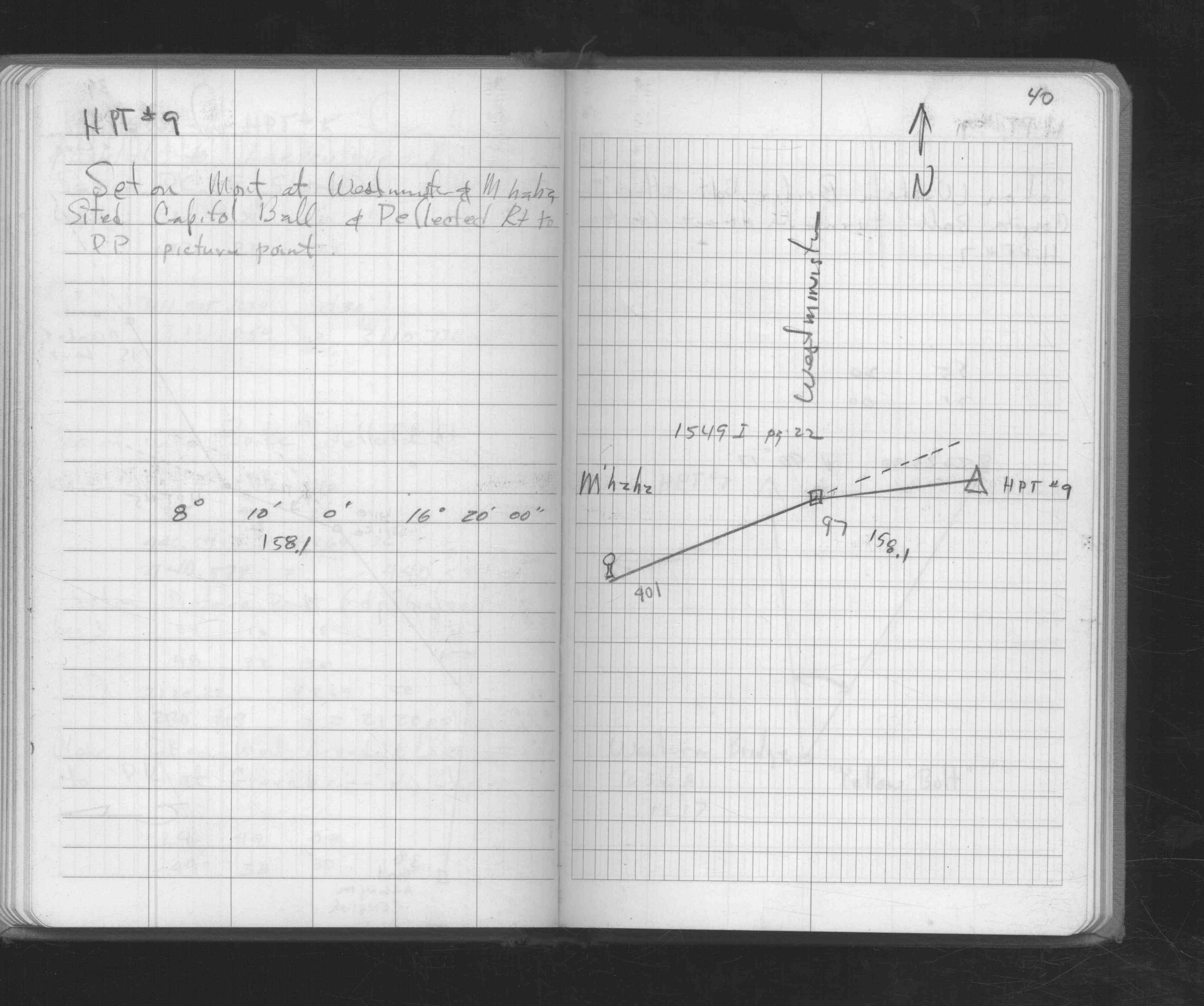
| FB 1549Hp.42 | ||||||
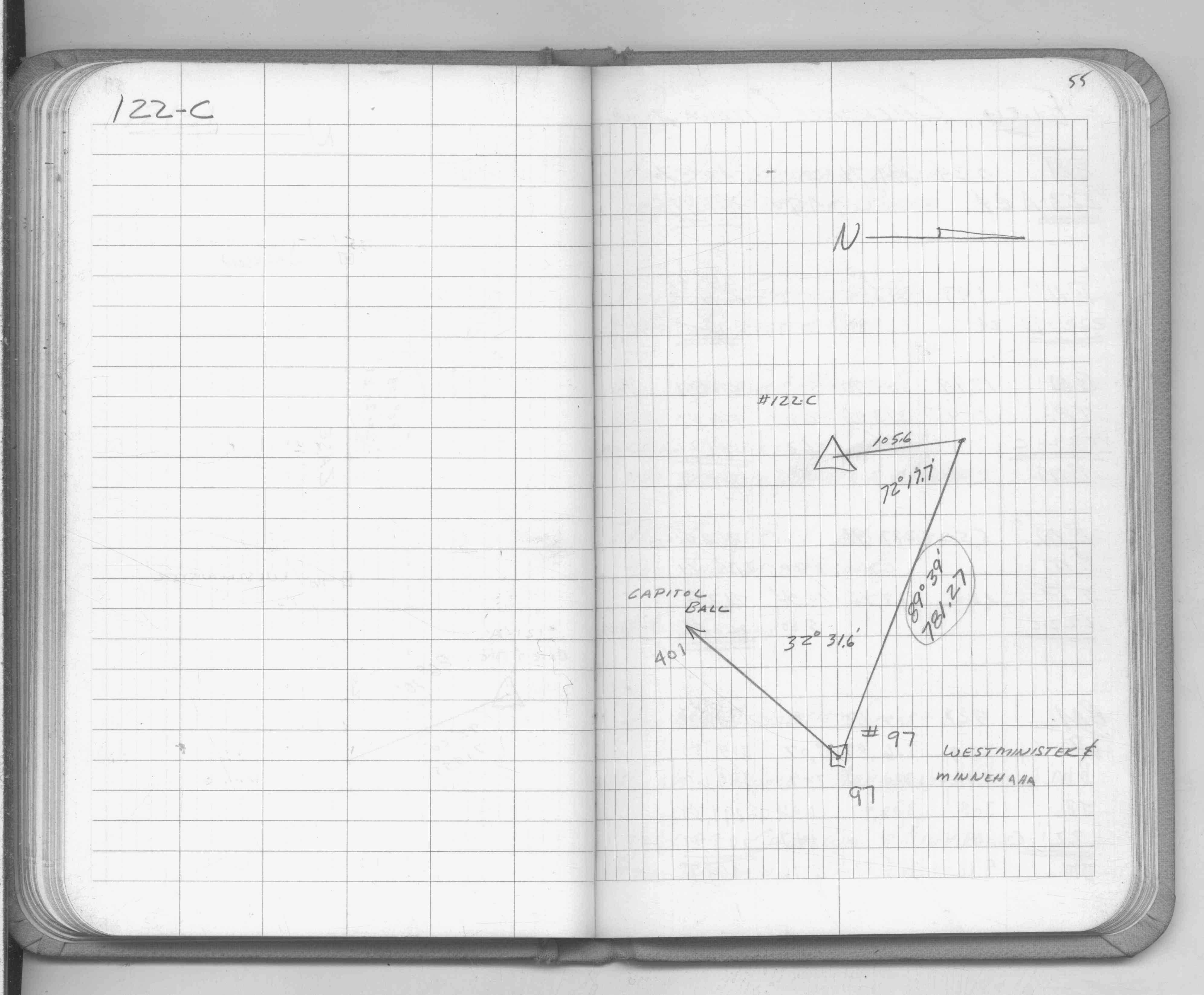
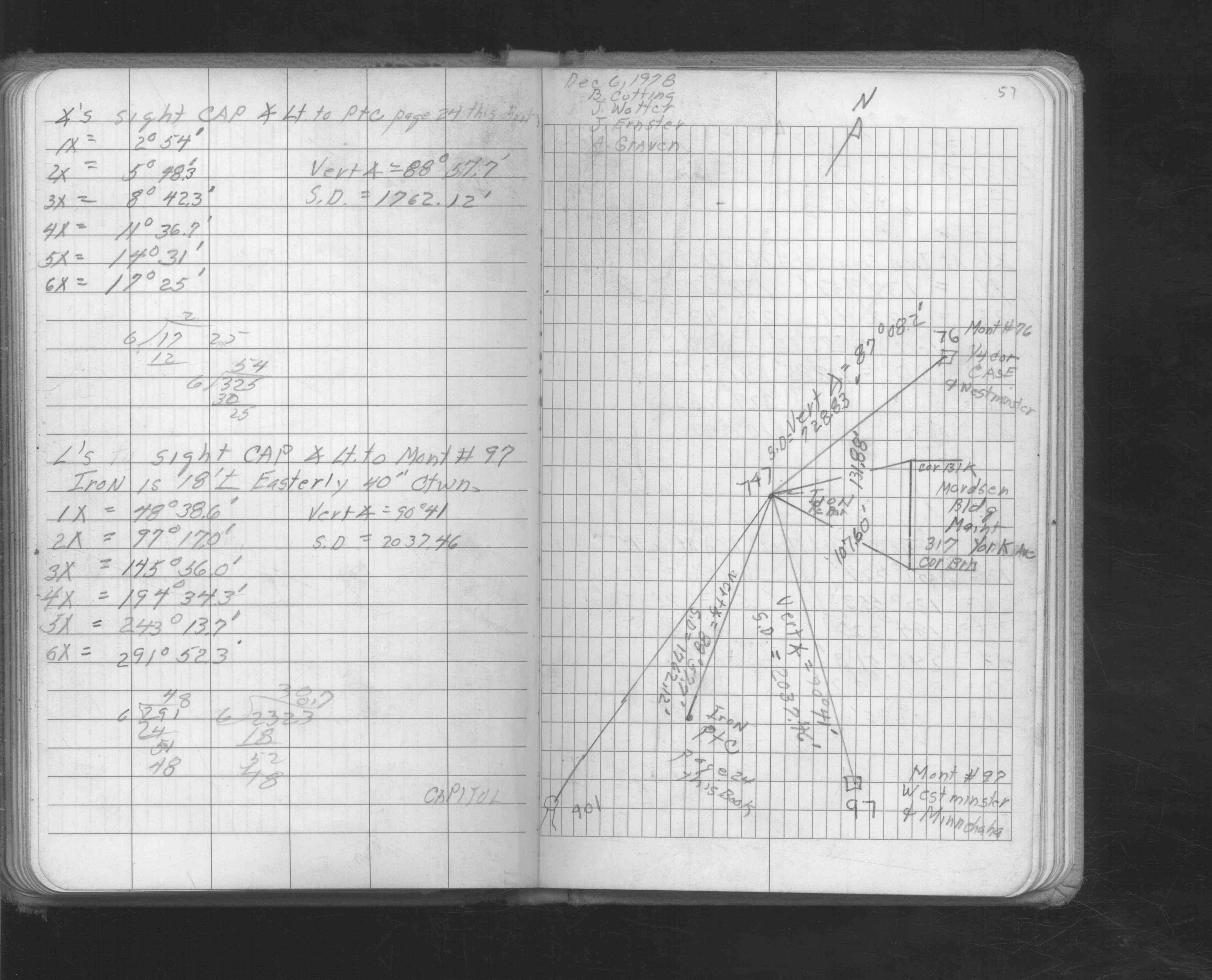
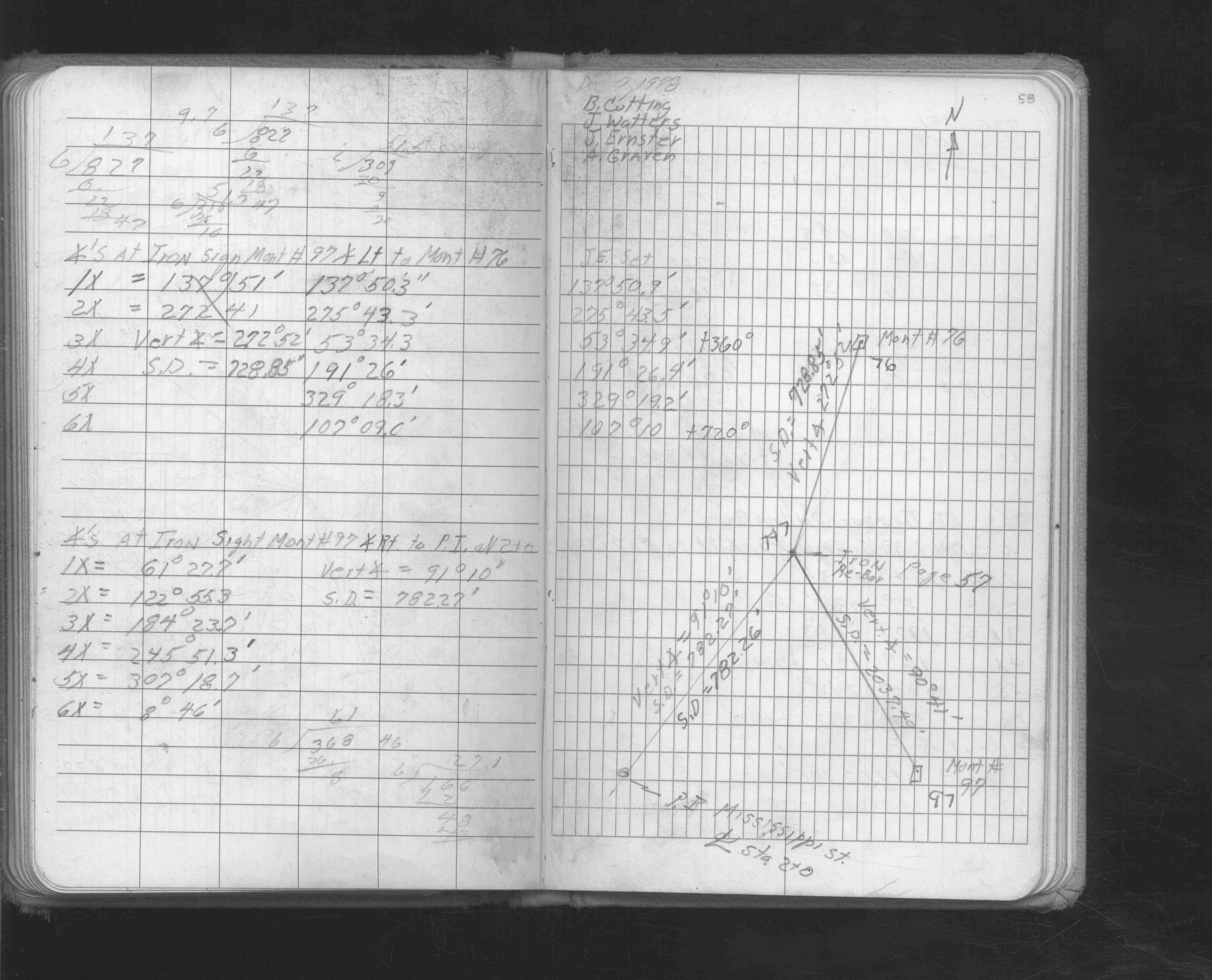
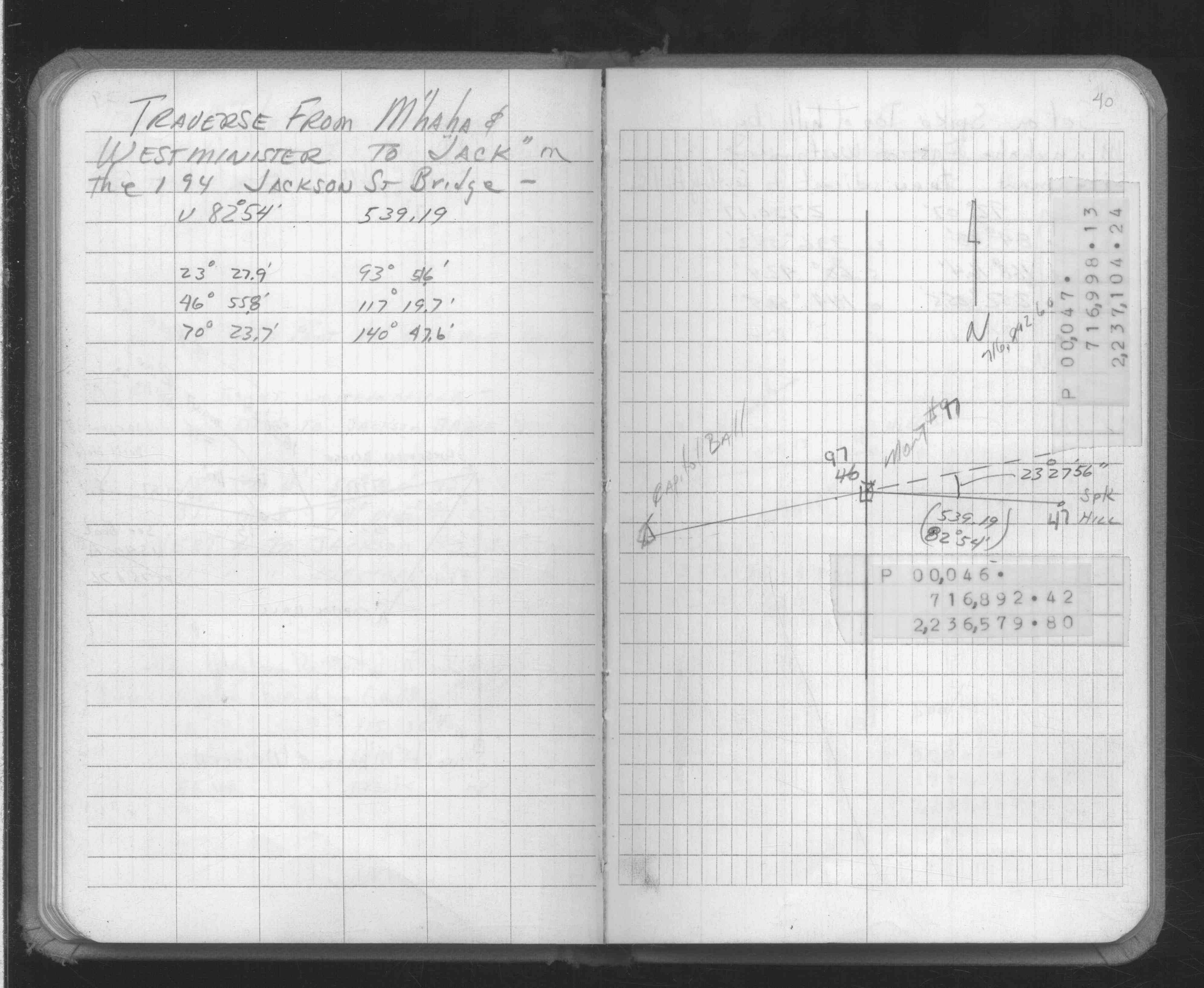
| FB 1549Ip. 24 ,57 ,58 | ||||||
| FB 1631p.02 | ||||||
| FB 1634Bp. 40 ,41 | ||||||
| FB 1634Dp. 64 ,65 | ||||||
| FB 1661Ap.42 | ||||||
| FB 1676p. 39 ,42 ,43 | ||||||
| FB 1676Ap.40 | ||||||
| FB 1676Cp. 25 ,26 | ||||||
| FB 1676Dp.39 | ||||||
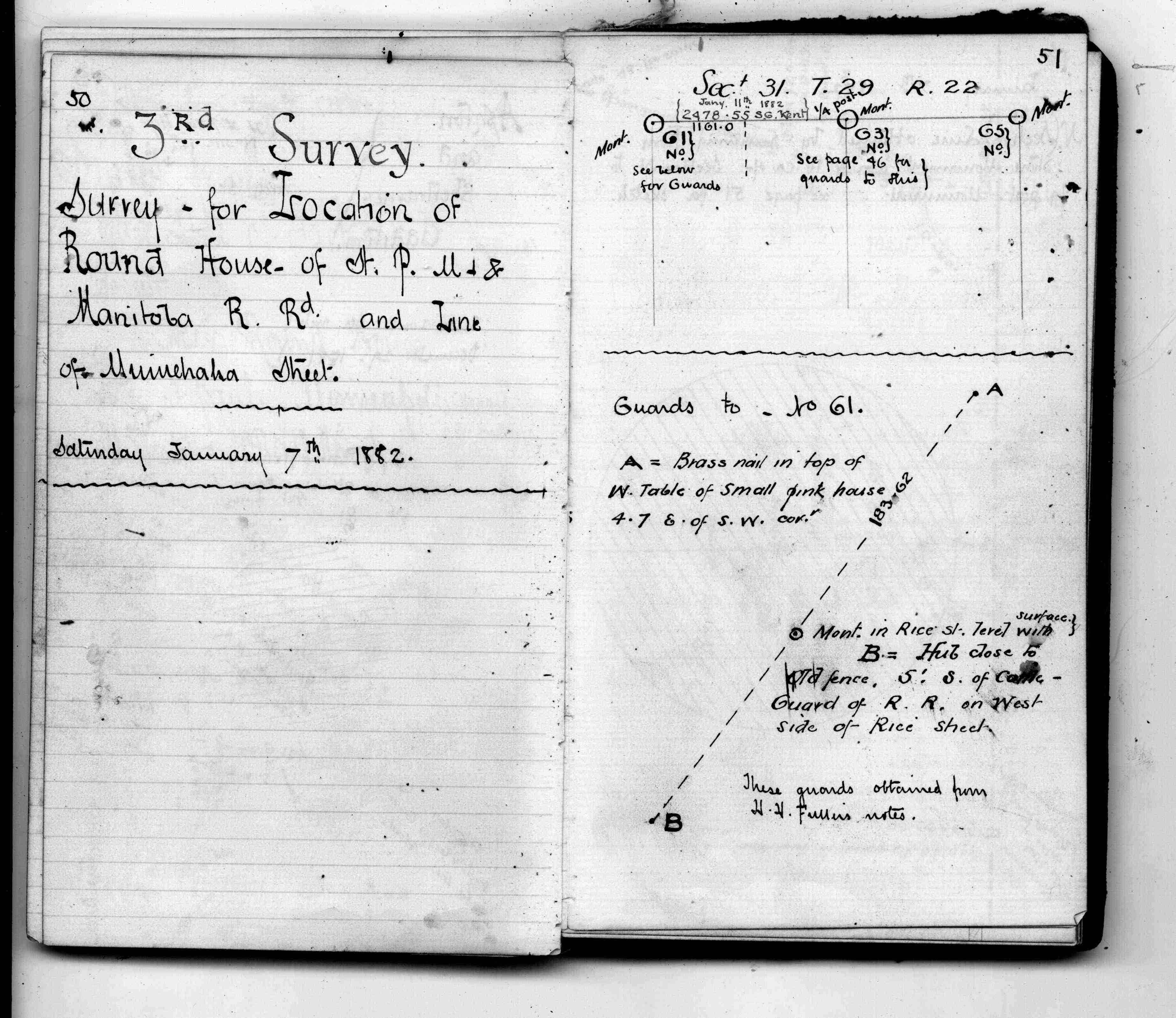
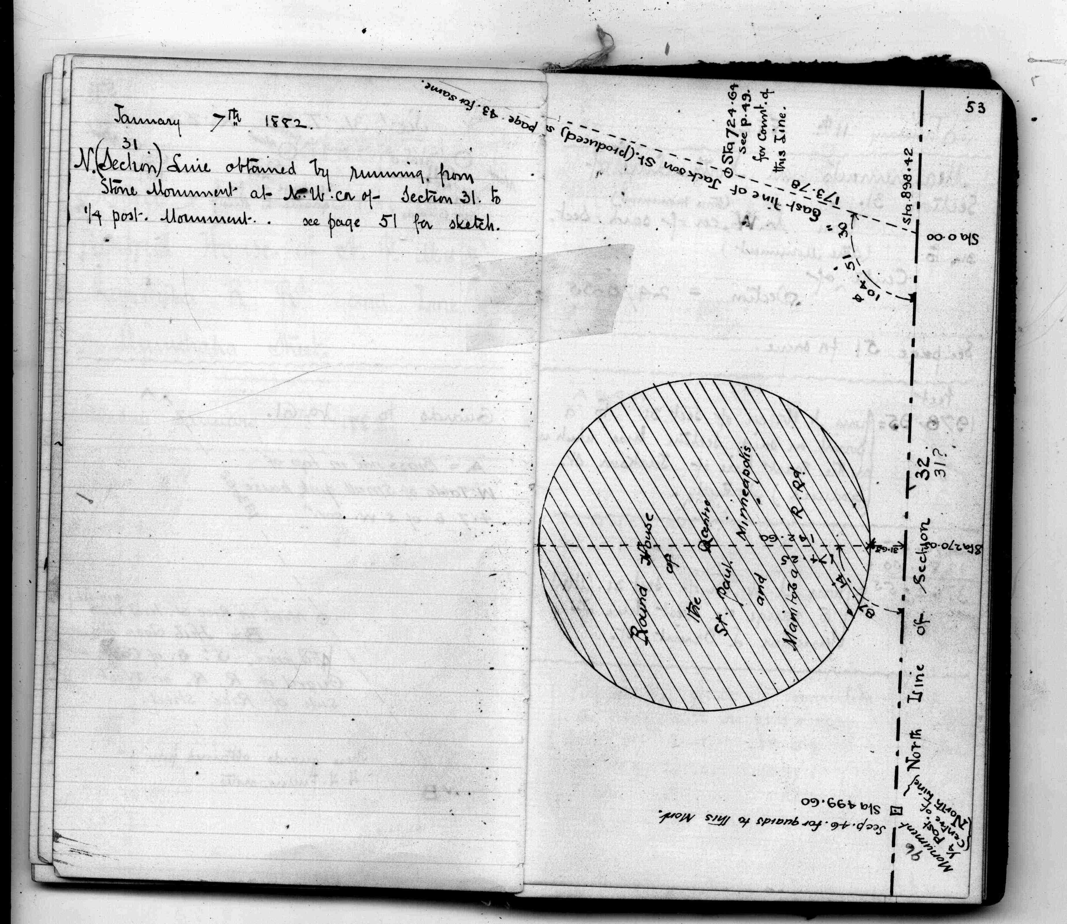
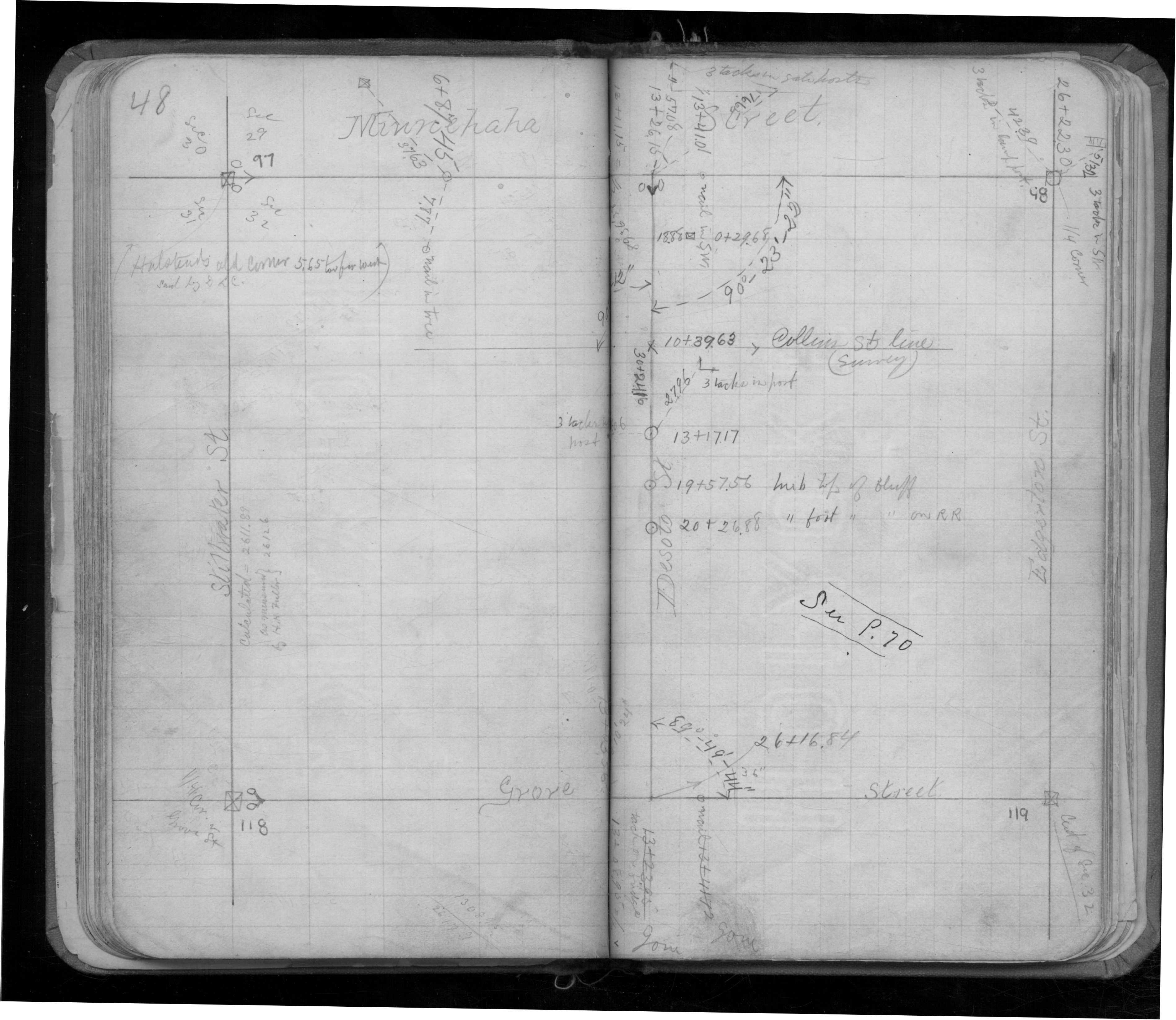
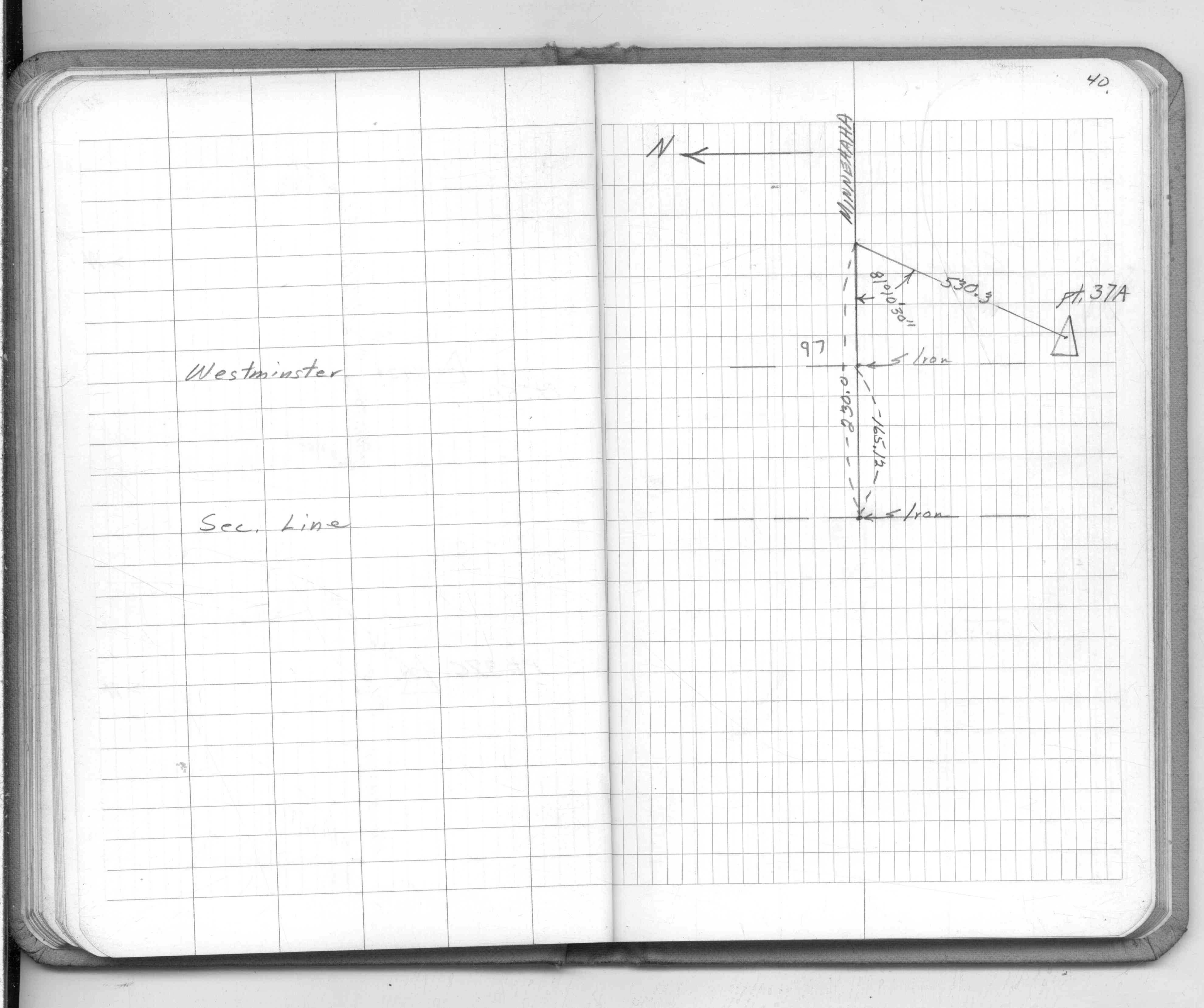
| FB 1689Ap.11 | ||||||
| FB 1689Ap.07 | ||||||
| FB 1694p. 46 ,47 ,48 |
| FILE | SURVEYOR | LIC. NO. | DATE SIGNED | DATE TIED |
|---|---|---|---|---|
| 0097-0065-B.pdf | Matt Wernet | 41888 | February 2, 2012 | February 3, 2011 |
| ST_079-156p097.jpg | none | none | none | none |
| 0097-0065-A.dwf | none | none | none | none |
| FILE | PHOTO DATE | COMMENTS |
|---|---|---|
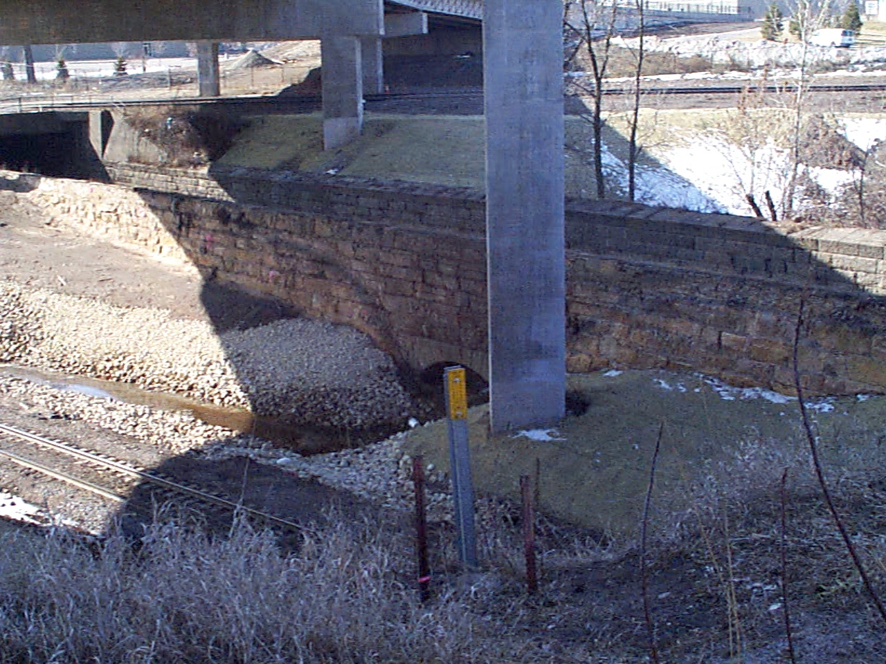
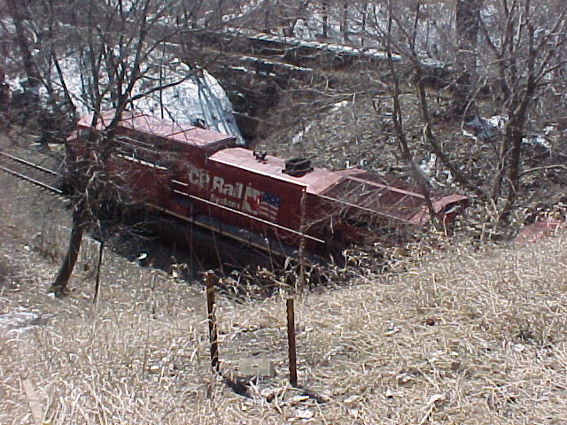
| 0097-0065-9.jpg | March 22, 2004 | Looking SW down hill towards RR track. Concrete monument in foreground. |
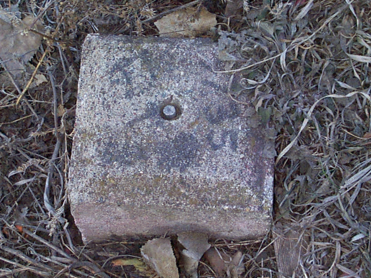
| 0097-0065-11.jpg | March 22, 2004 | Close-up of the concrete monument. |
| 0097-0065-10.jpg | March 22, 2004 | Looking SW from the RR track that is concave to the North. Concrete monument near the center of the picture. |
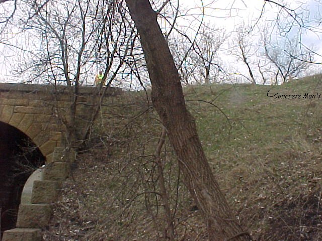
| 0097-0065-8.jpg | April 16, 2002 | Looking up hill towards RR track. Concrete monument in background. |
| 0097-0065-7.jpg | March 27, 2002 | Looking SE down hill towards RR track. Concrete monument in foreground. |
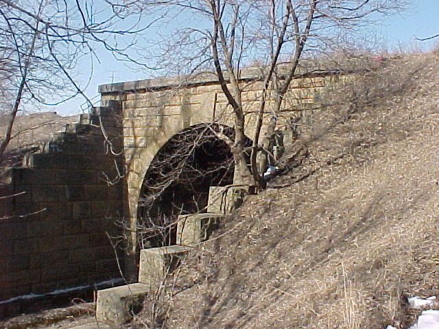
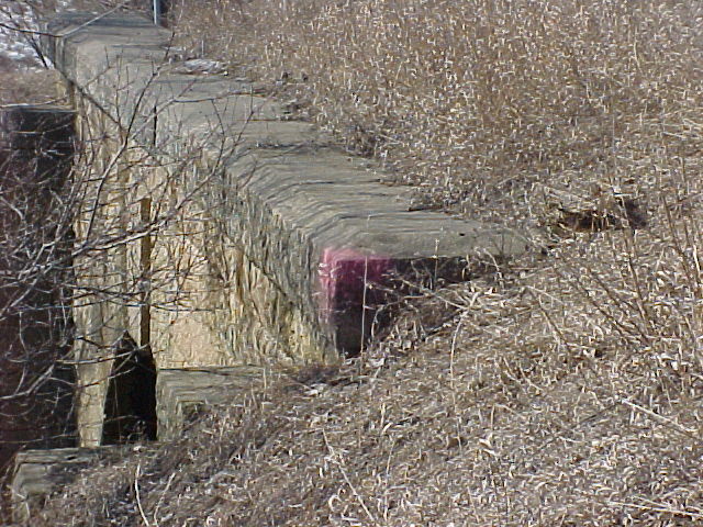
| 0097-0065-6.jpg | March 27, 2002 | Looking NW at south RR tunnel abutment. Tie point seen painted red. |
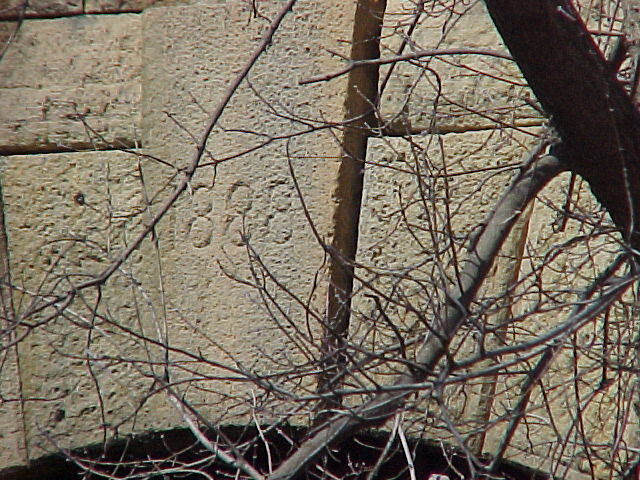
| 0097-0065-4.jpg | March 27, 2002 | Looking at date of RR tunnel on south abutment. |
| 0097-0065-3.jpg | March 27, 2002 | Looking NW to tie point on RR tunnel north abutment. |
| 0097-0065-2.jpg | March 27, 2002 | Looking west towards monument tie point on RR tunnel south abutment. |
| 0097-0065-1.jpg | March 27, 2002 | Close up of concrete monument east of RR tunnel. |