| NAD83 COORDINATES (1986 adj.): |
|---|
| * X= 582137.29 Y= 162855.68 Z= 0 LSQ 12/6/1991 S FIX |
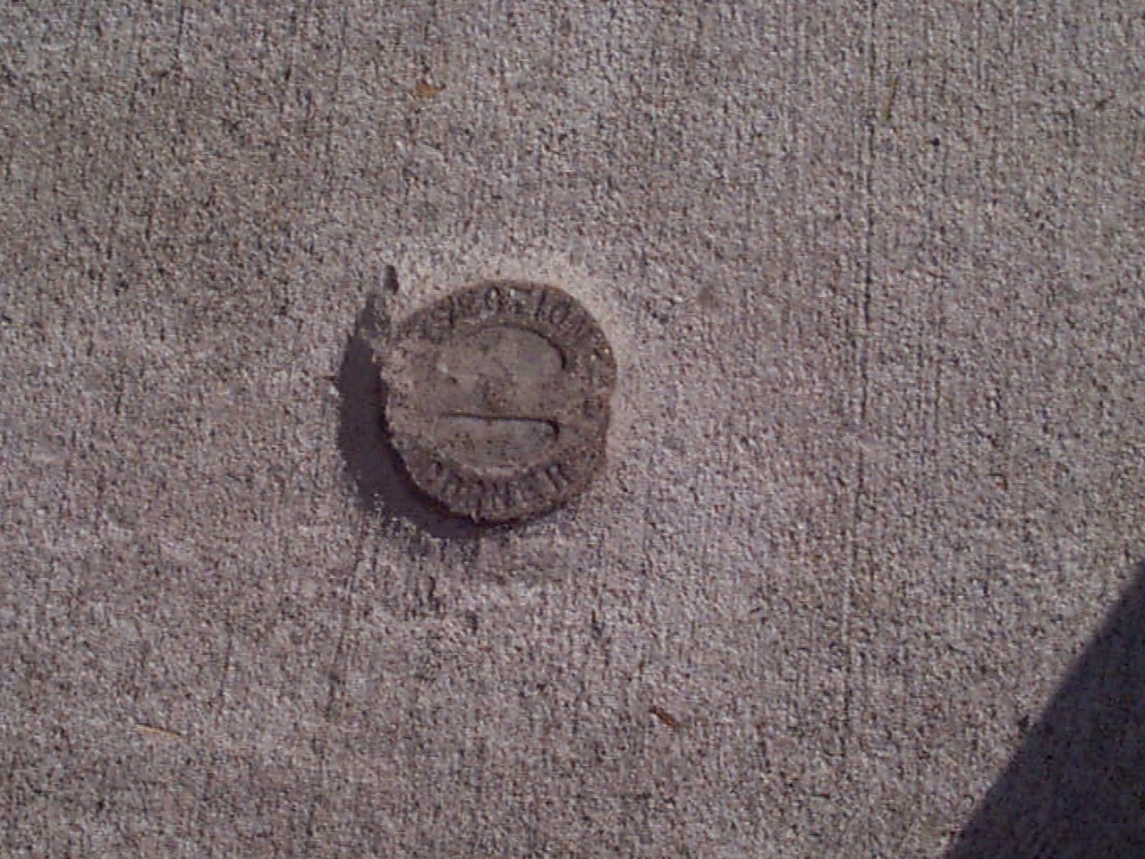
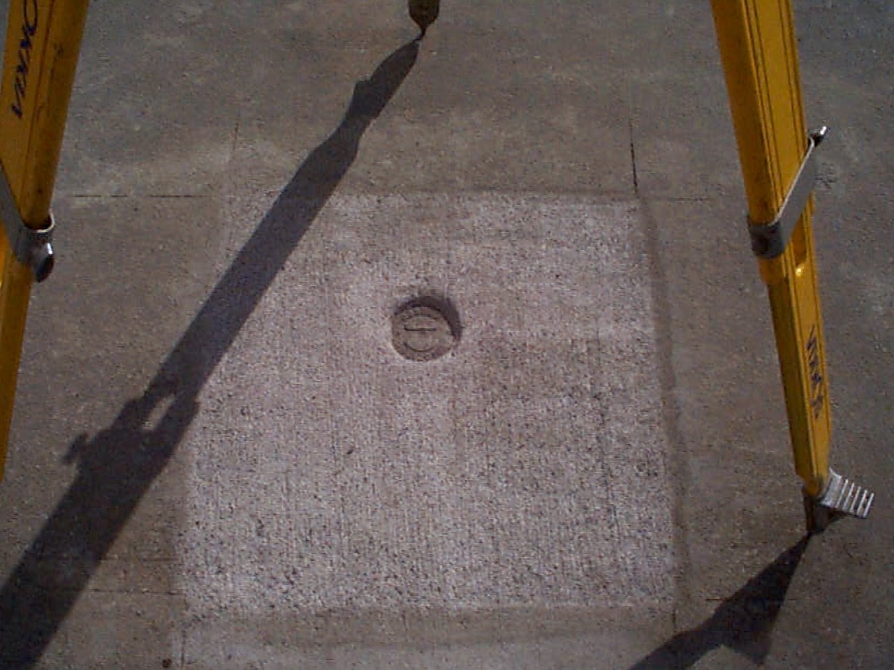
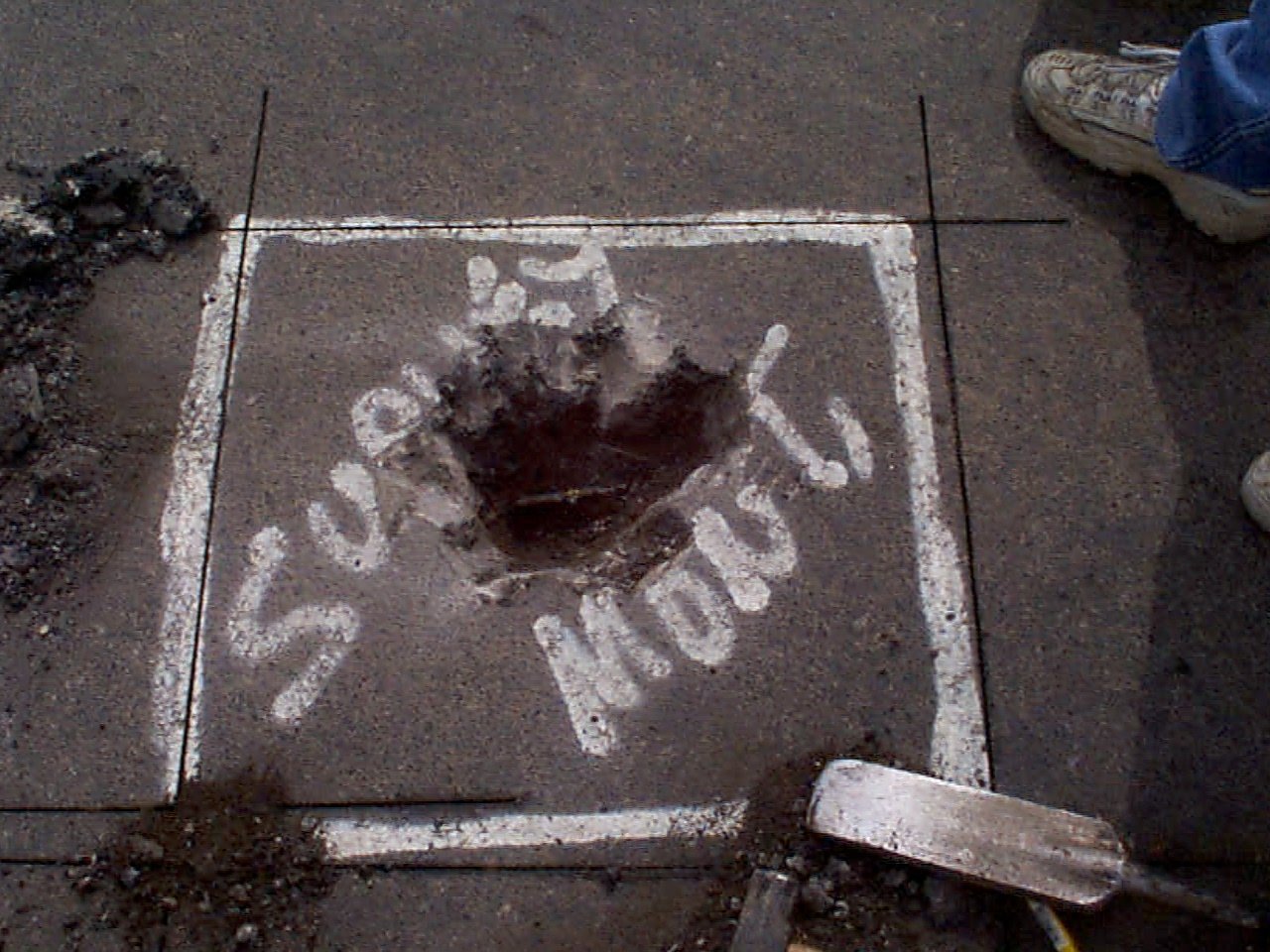
| 9/19/2002 | Set CIM labeled "SECTION CORNER" at Elev 176.54 ft being 0.04 ft below grade. See CofL 0099-0069-B |
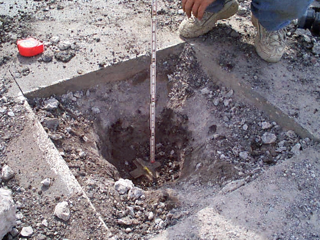
| 9/18/2002 | Found broken CIM, bottom of base 0.6' below grade, placed 3' straddles, removed broken CIM. See CofL 0099-0069-B |
| 9/18/2002 | Found a second broken CIM, bottom of base 2.1 ft below grade, removed broken CIM. See CofL 0099-0069-B |
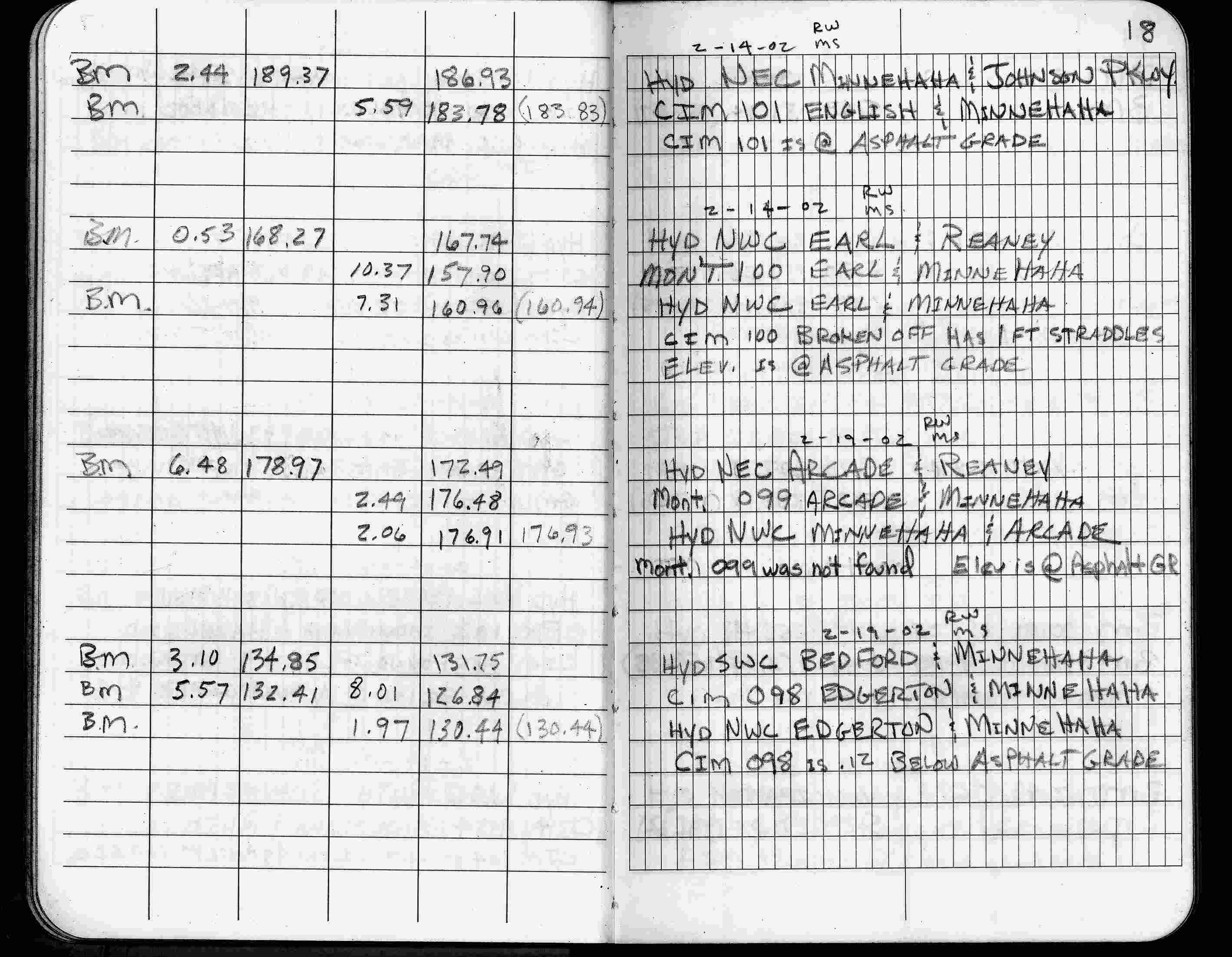
| 2/19/2002 | Elev 176.48 ft on asphalt surface (no monument in place). See FB 1736 p.18 |
| 3/17/2000 | Paint mark, placed 2 ft straddles (marked for painting target for 2000 target) |
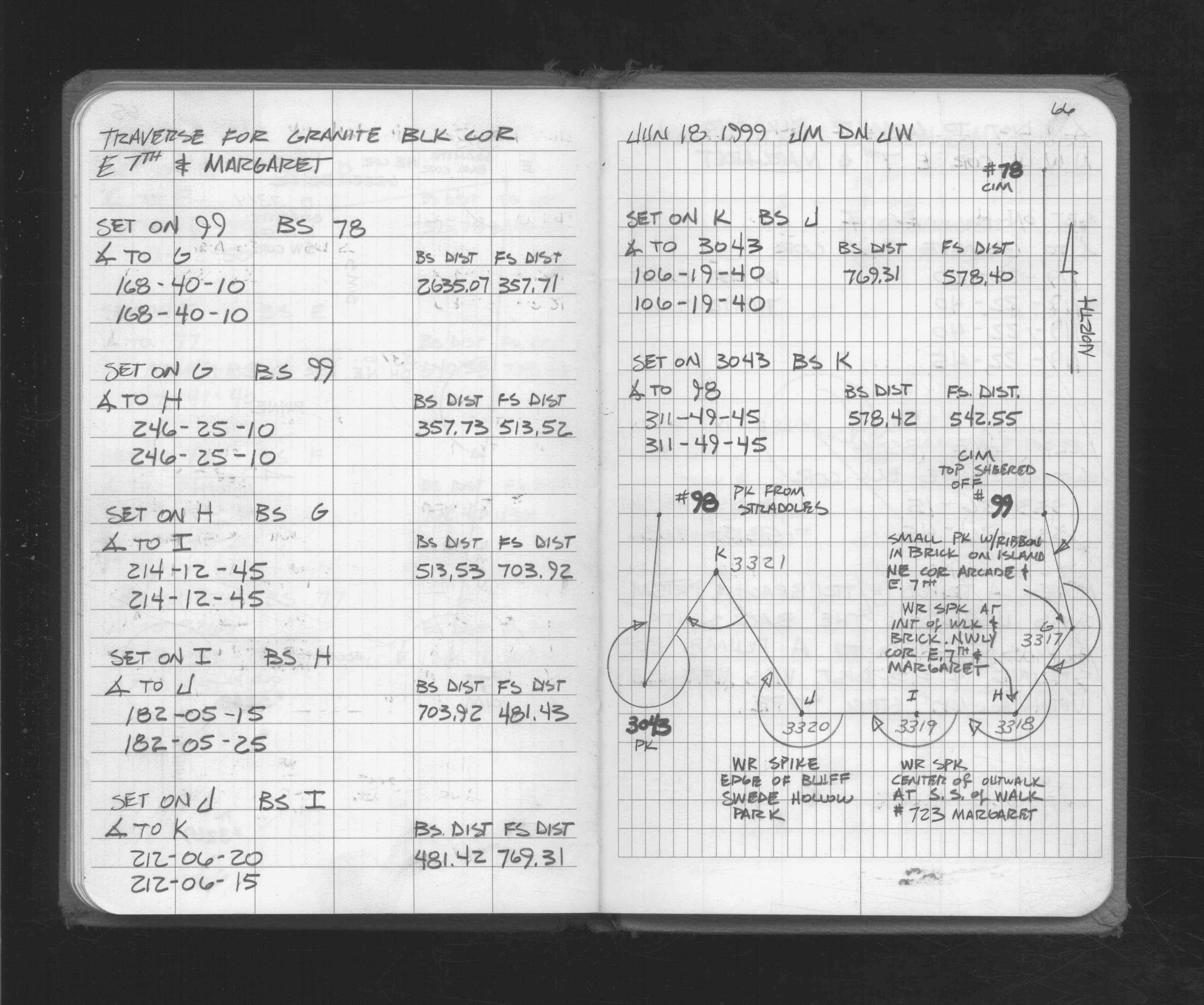
| 6/16/1999 | Recovered a CIM below street grade. Top broken off. See FB 1716 p.66 |
| 1/13/1999 | Elev 176.49 ft on CIM at grade. See 1999/minnehaha/minnehaha.sdr (loop 186) Digital-Unadj |
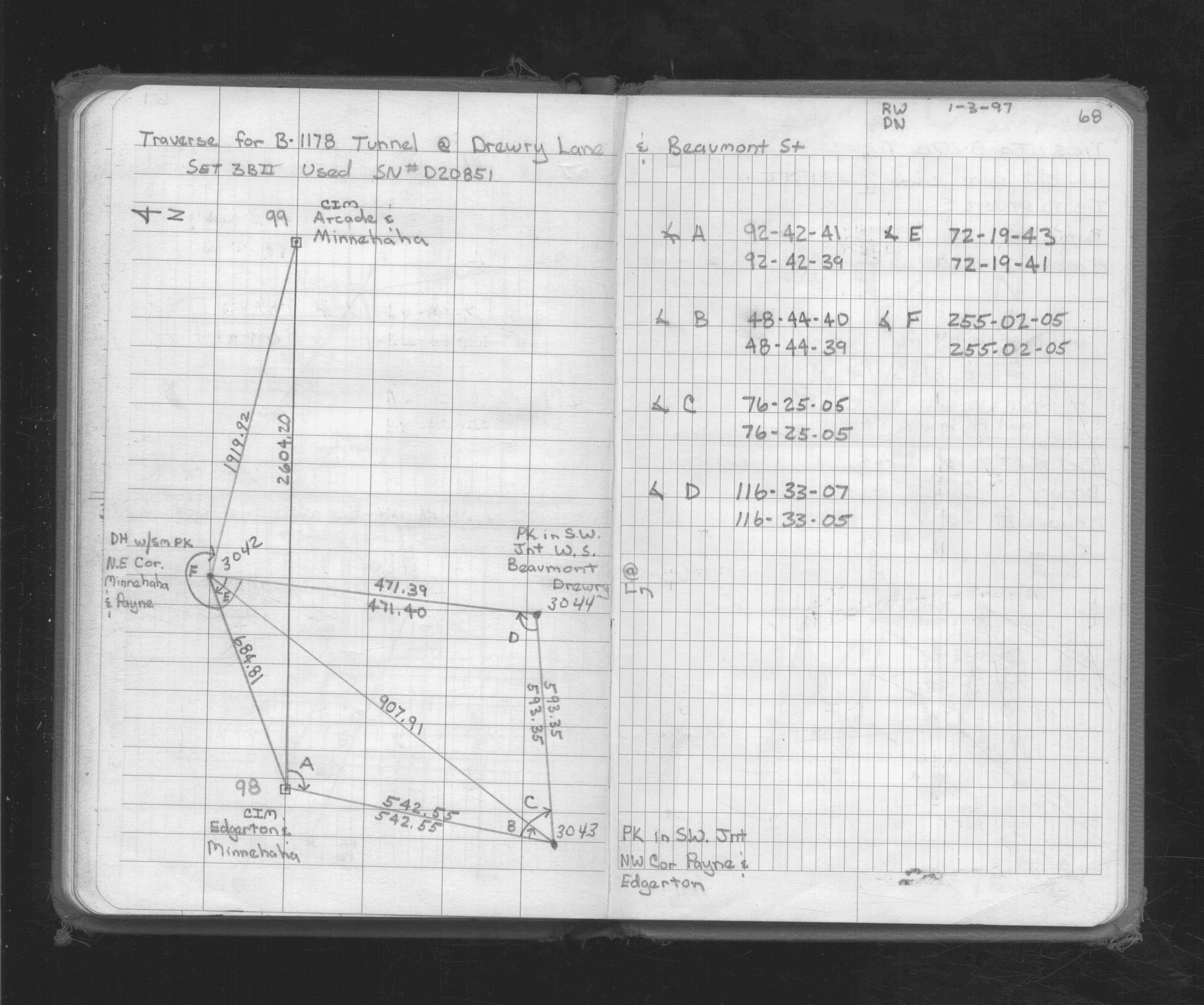
| 3/26/1997 | Elev 176.45 ft on broken CIM. See acorddat/1997/p1157/p1157.sdr Digital-Unadj |
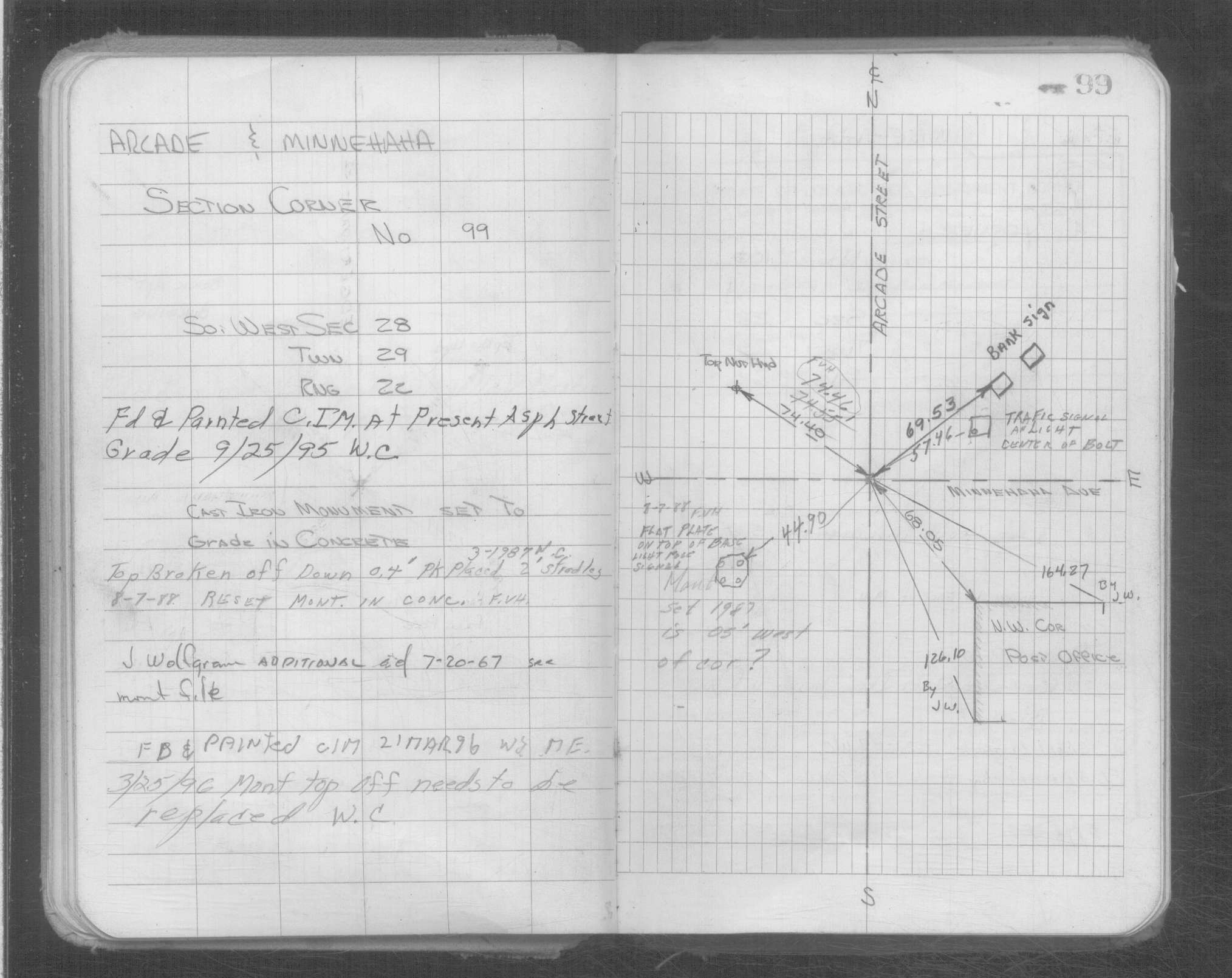
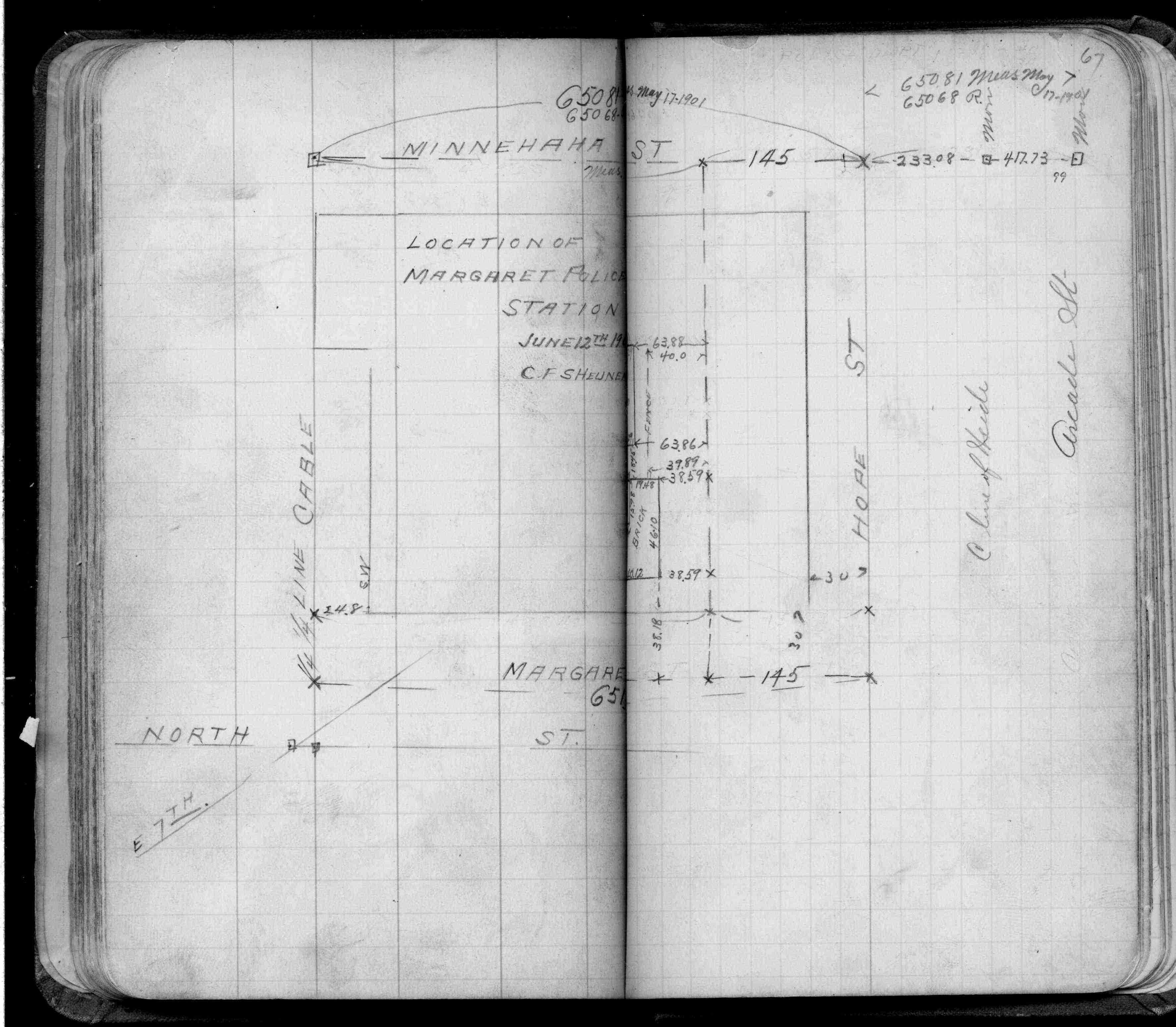
| 3/25/1996 | Monument top off needs to be replaced. See ST 079-156 p.99 |
| 3/21/1996 | Found and painted CIM. See ST 079-156 p.99 |
| 9/25/1995 | Found and painted CIM at street grade. See ST 079-156 p.99 |
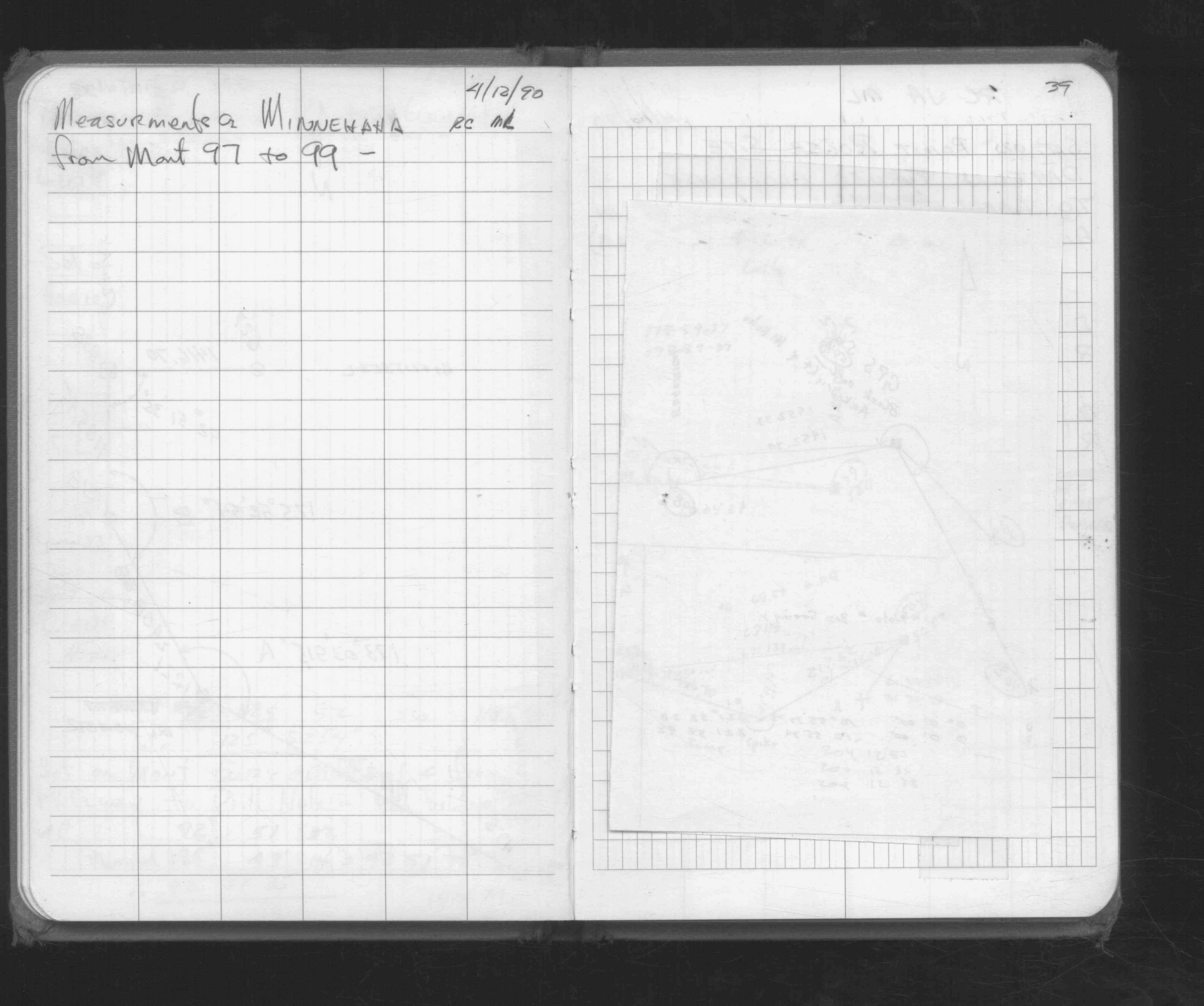
| 4/12/1990 | Measured to Monument 98. See FB 1676D p.39 |
| 1/1/1989 | (Unknown date ___ __,1989 ) Historic, one time only GPS survey = S611 |
| 8/7/1988 | Reset CIM in concrete. See ST 079-156 p.99 |
| 3/1/1987 | (Unknown date Mar __, 1987 ) Top broken off, down 0.4 feet, pk placed 2 ft straddles. See ST 079-156 p.99 |
| 7/20/1967 | Placed CIM in 5" thick concrete over concrete monument with rebar in center & placed ties. See CofL 0099-0069-A |
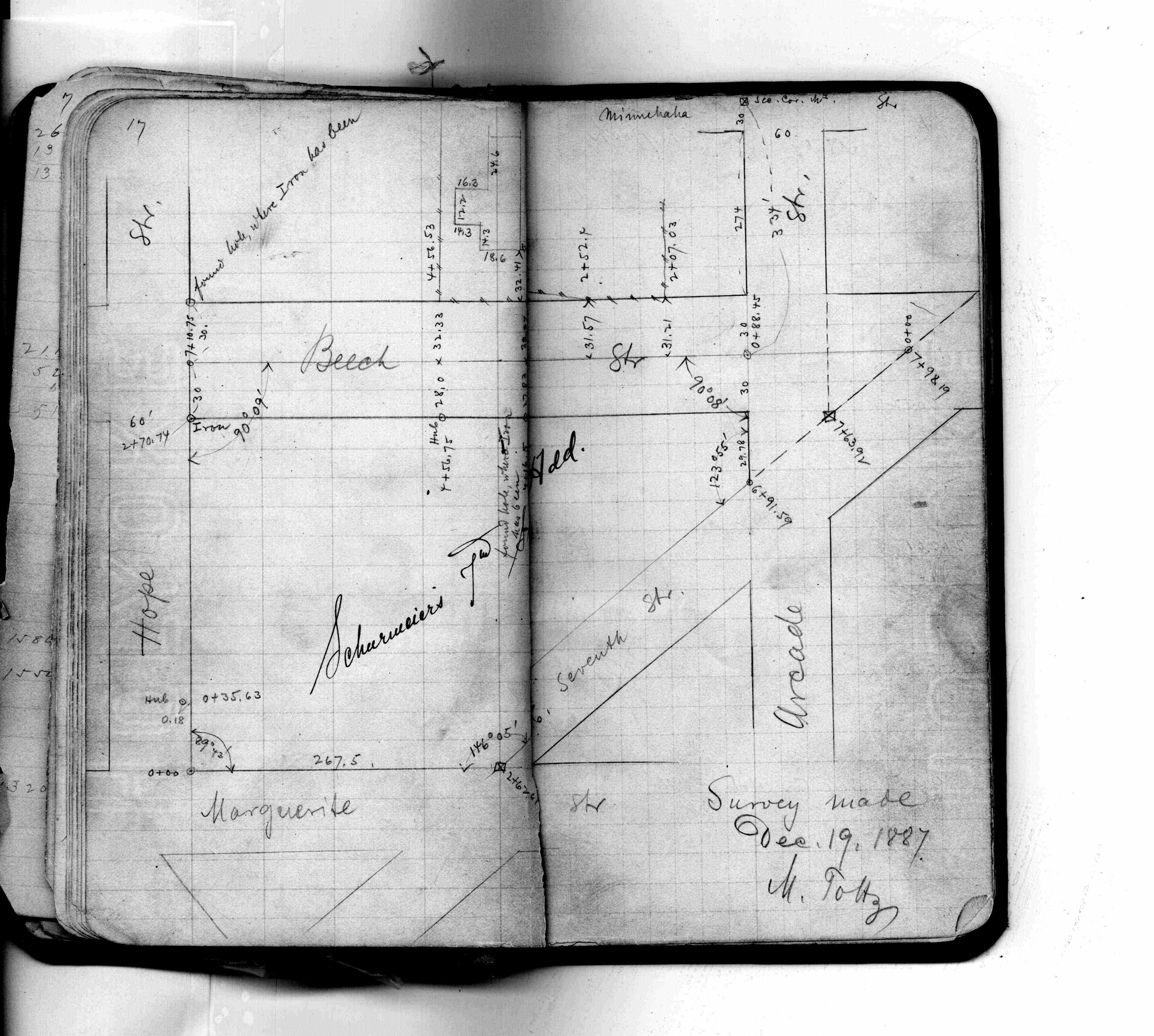
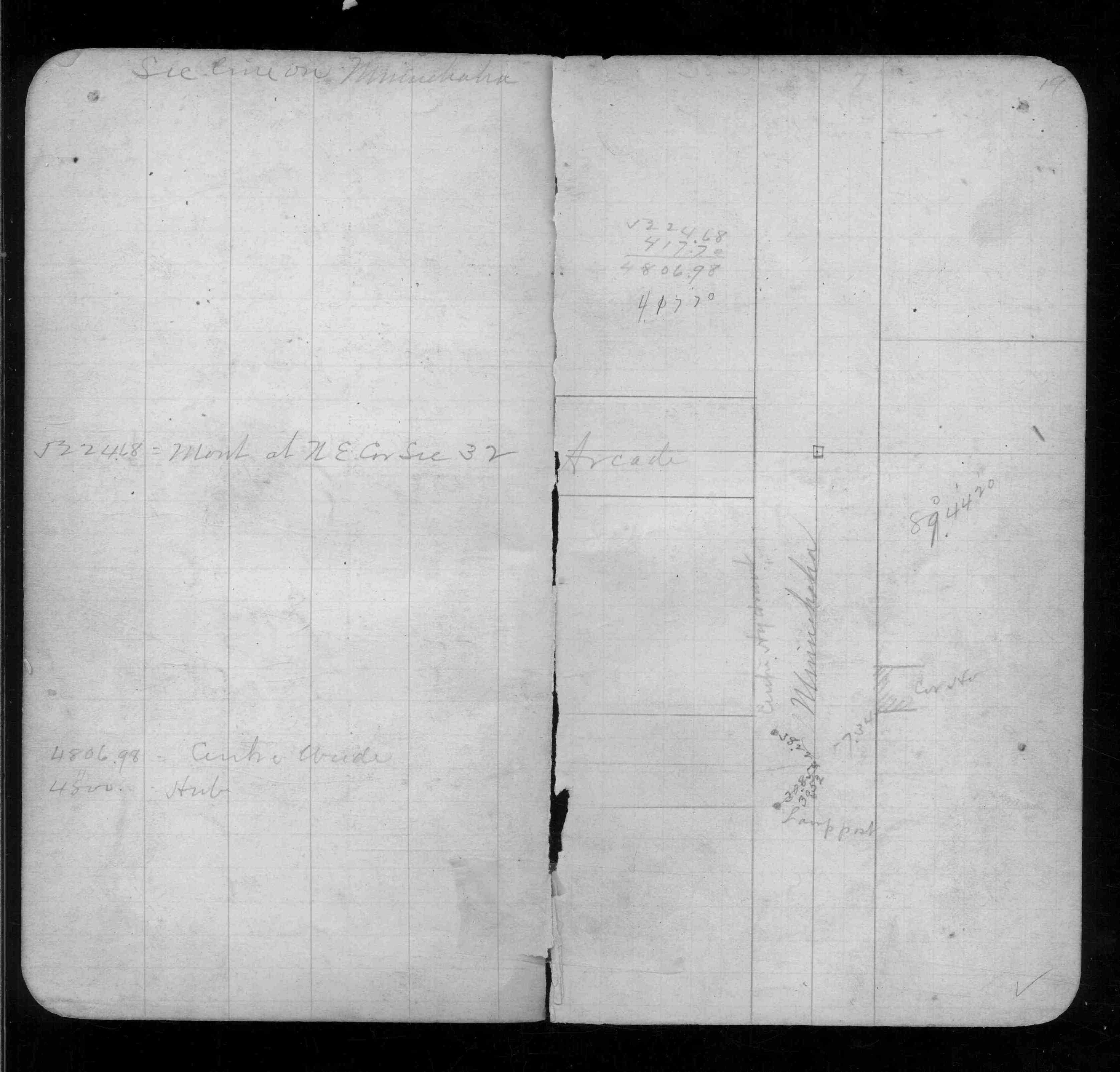
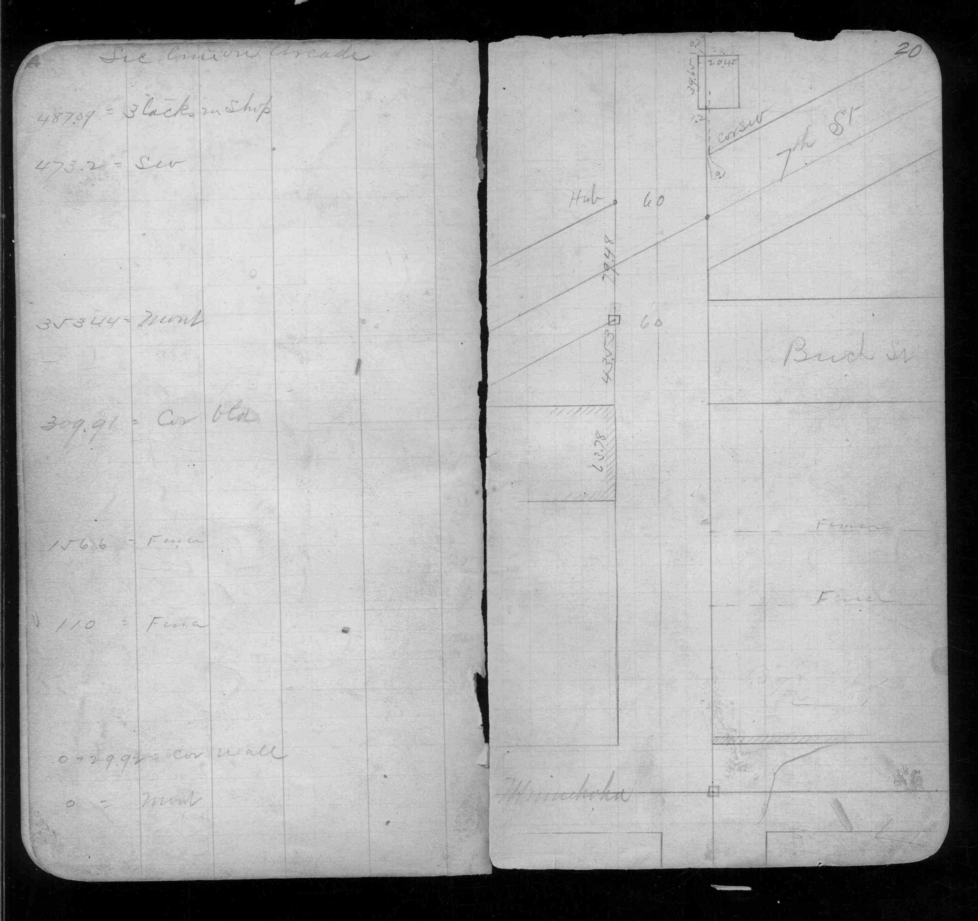
| 1/1/1887 | (Unknown date ___ __, 1887 ) By grading Minnehaha St 1887 Monument not disturbed Chas Hunt |
| 12/1/1879 | (Unknown date Dec __, 1879 ) Bearing stump in |
| 11/1/1847 | (Unknown date Nov __, 1847 ) Isaac N Higbee deputy surveyor set post. Tied to 2 BTs. See IH p.198-199 2922 |
Above is NOT an all inclusive history of this point. Please review all the links below. Yellow Tie Books are 'ST' in the Monument category.
| PLS NOTES | Field | Cross Section | Sewer | J.B. Irvine | Monument | River Survey |
|---|---|---|---|---|---|---|
| IH p.198-199 | FB 0197p. 24 ,32 | JBI 23 p.75-76 | ST 079-156 p.099 | |||
| FB 0206p.17 | ||||||
| FB 0250CPYp.67 | ||||||
| FB 0290p. 19 ,20 ,63 | ||||||
| FB 0293CPYp.14 | ||||||
| FB 0298CPYp.27 | ||||||
| FB 1352p.39 | ||||||
| FB 1422Bp.15 | ||||||
| FB 1549Cp.38 | ||||||
| FB 1631p.02 | ||||||
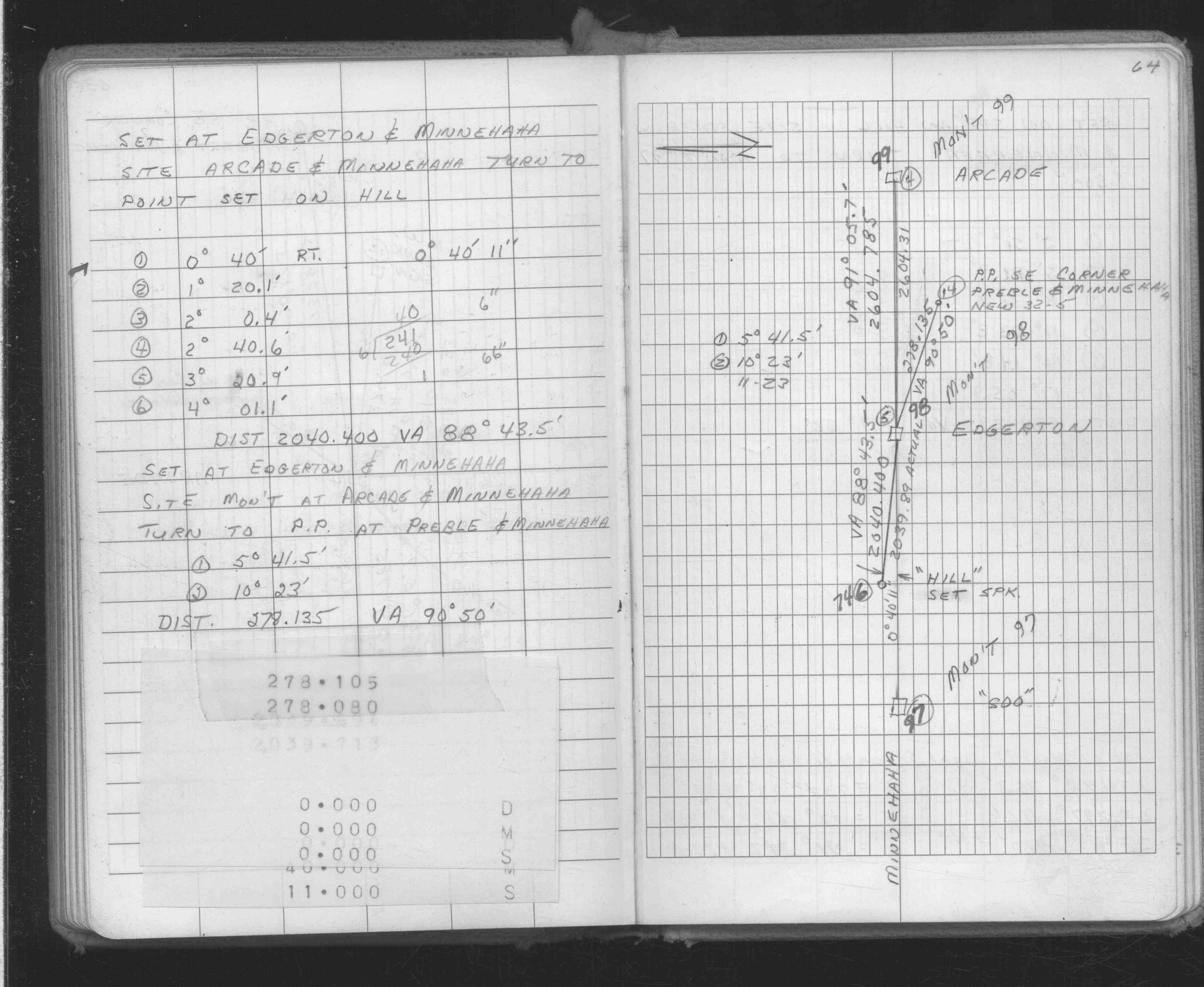
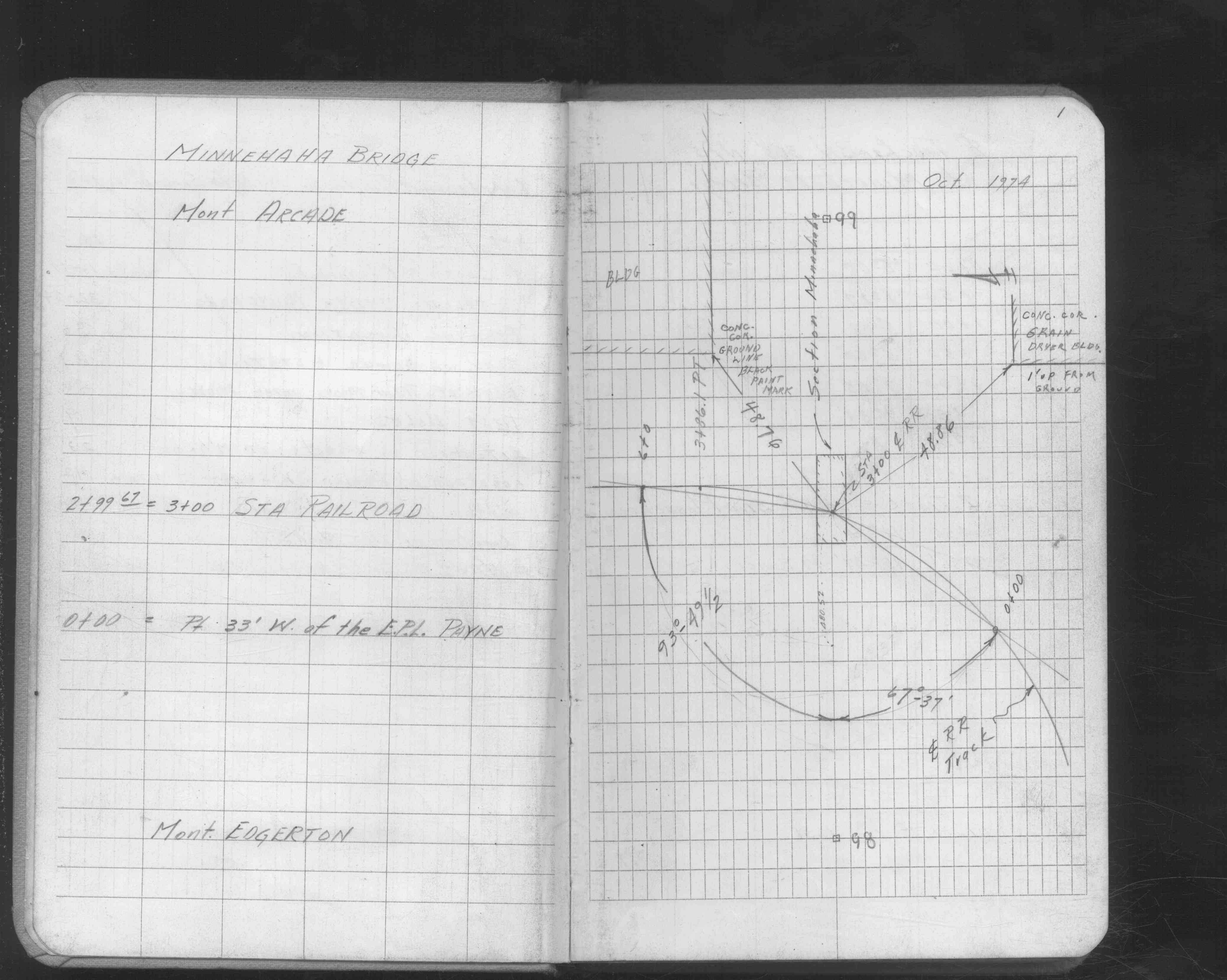
| FB 1634Dp. 62 ,63 ,64 | ||||||
| FB 1645p.01 | ||||||
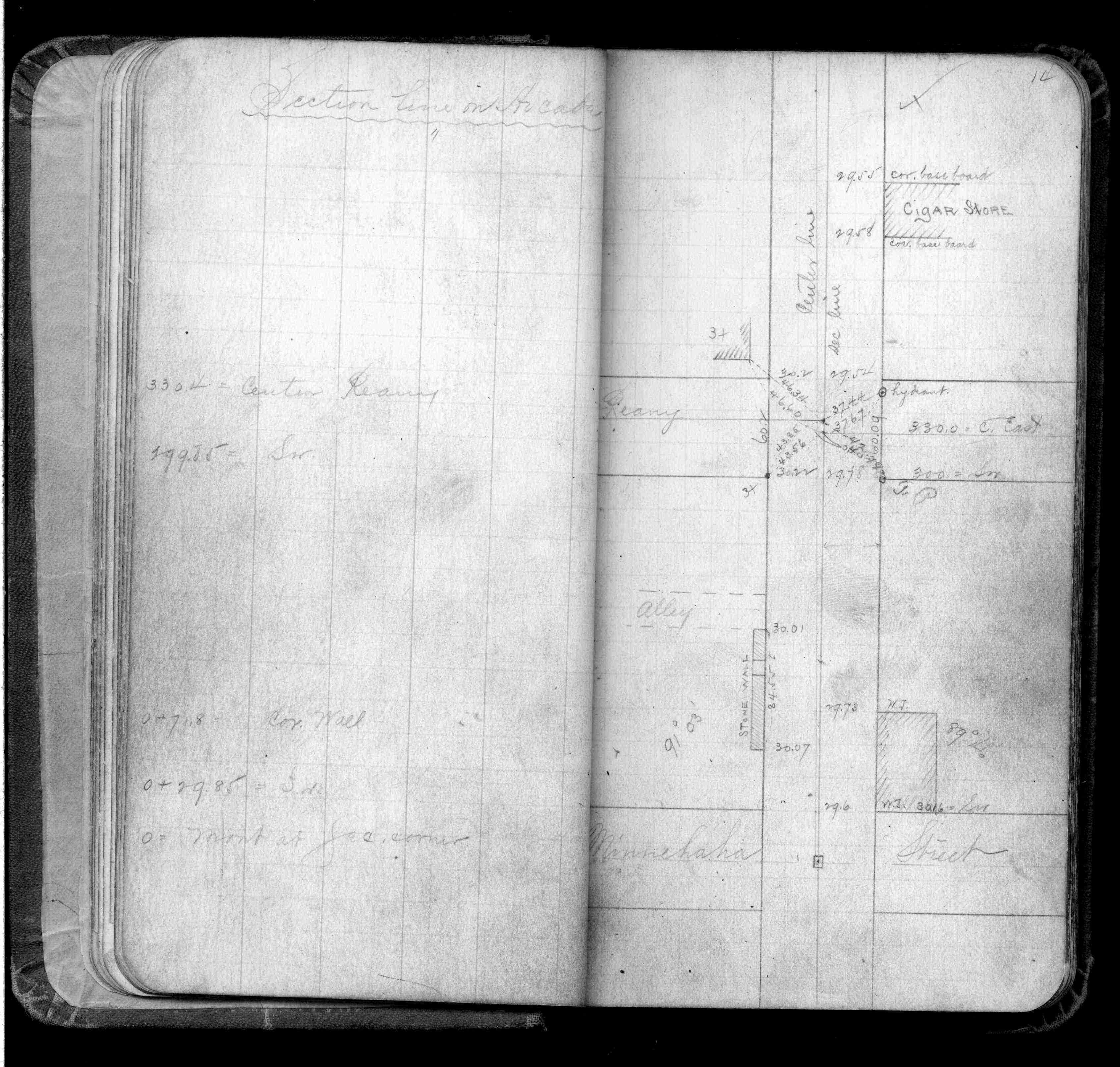
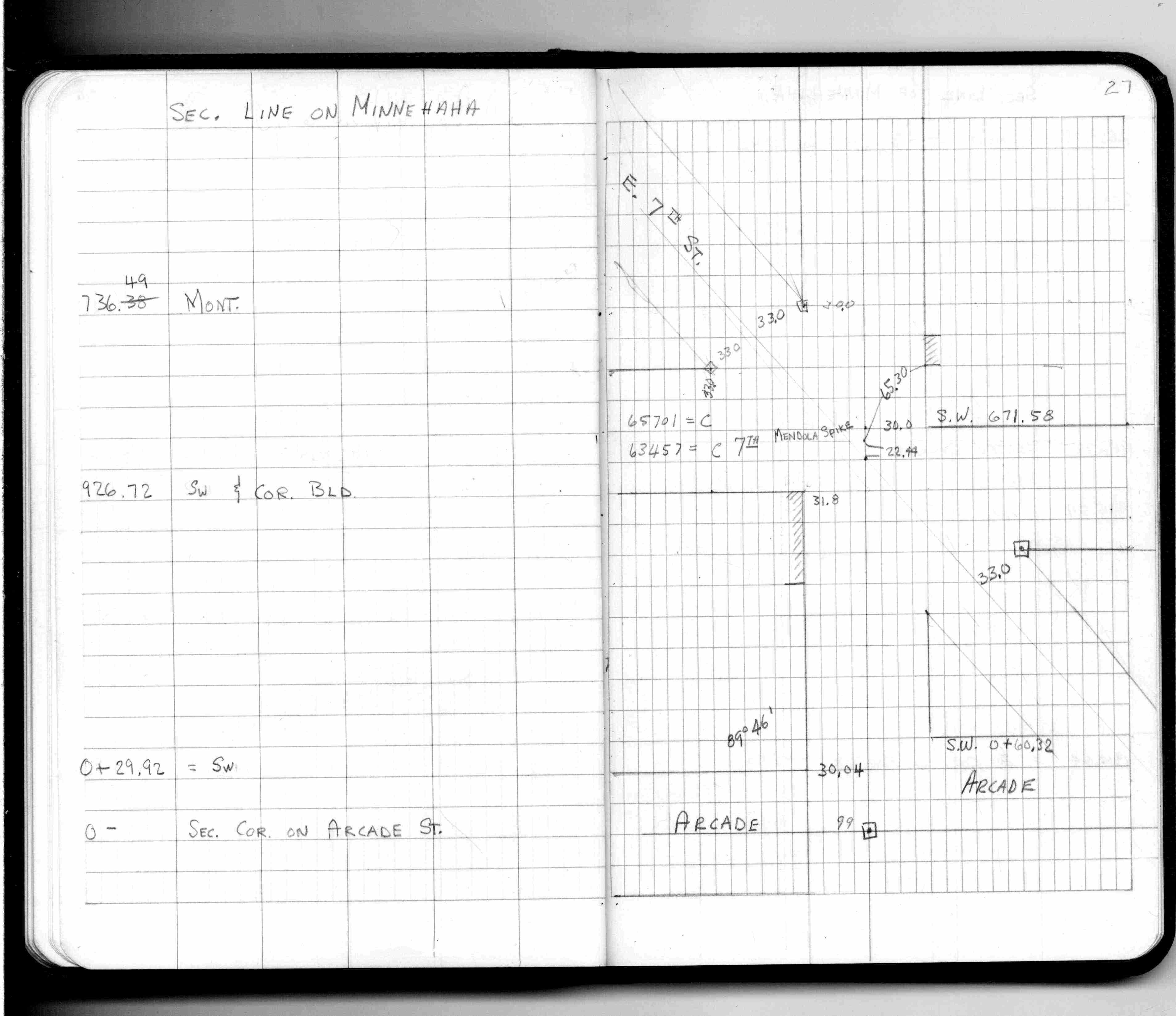
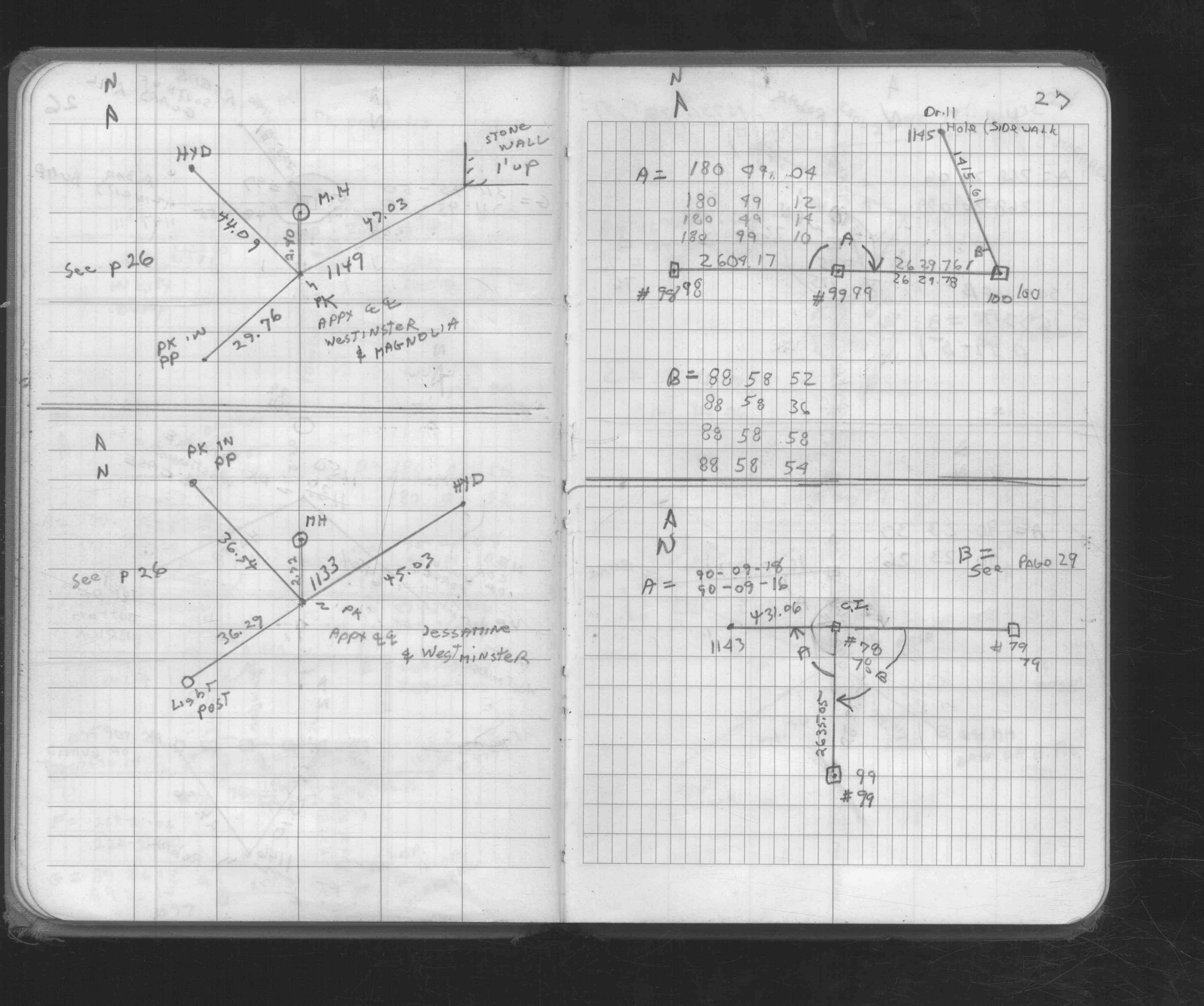
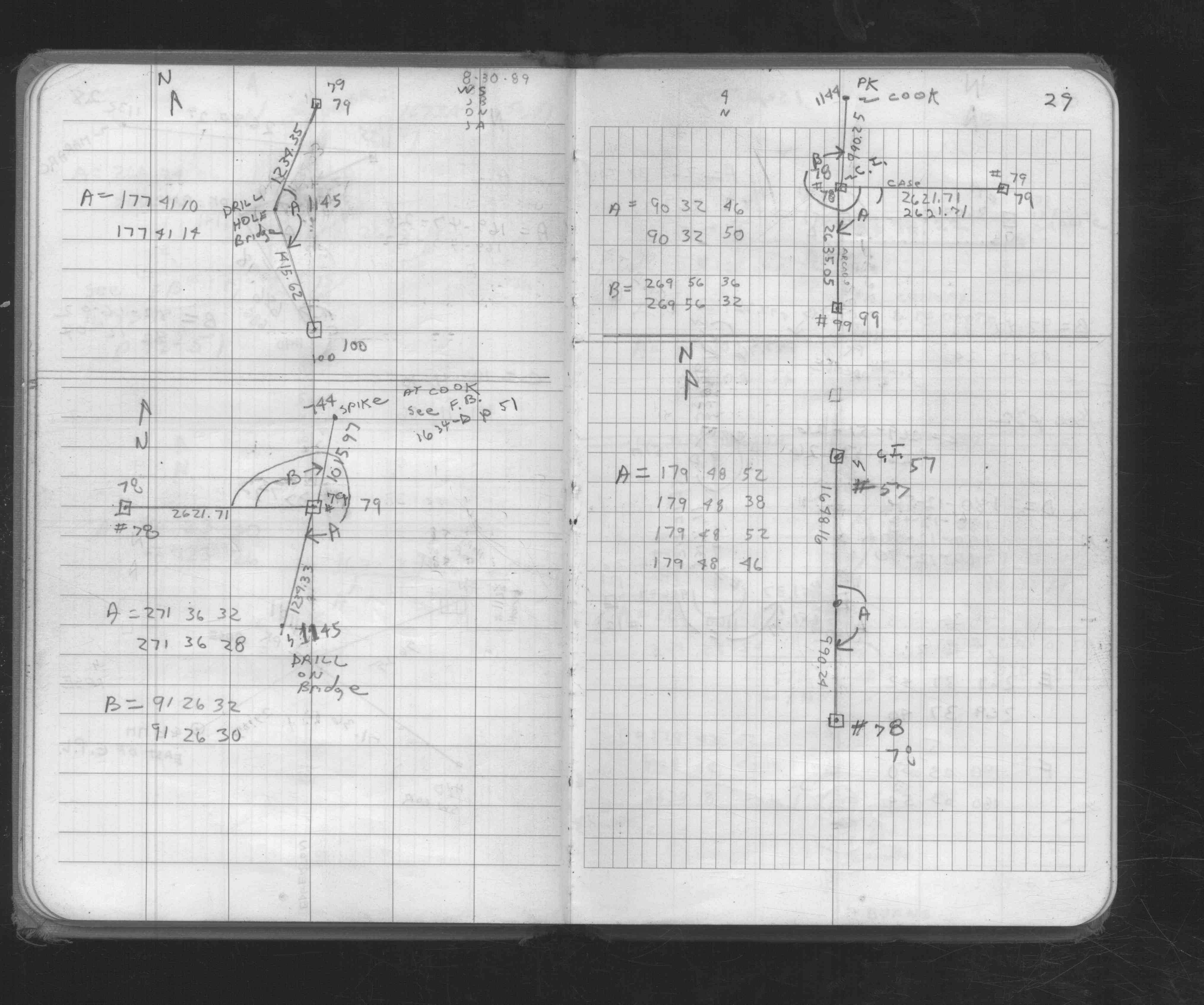
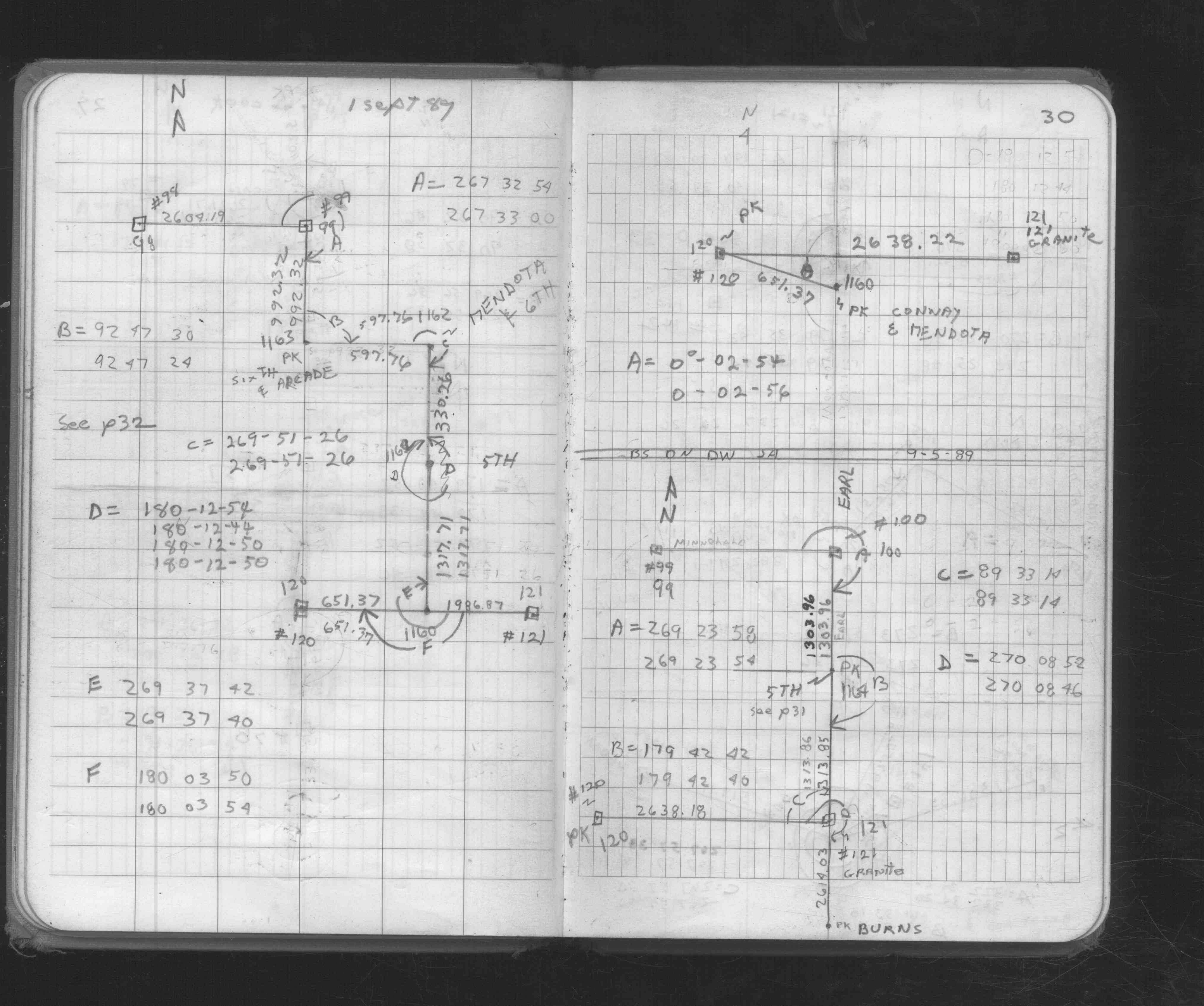
| FB 1676Cp. 27 ,29 ,30 | ||||||
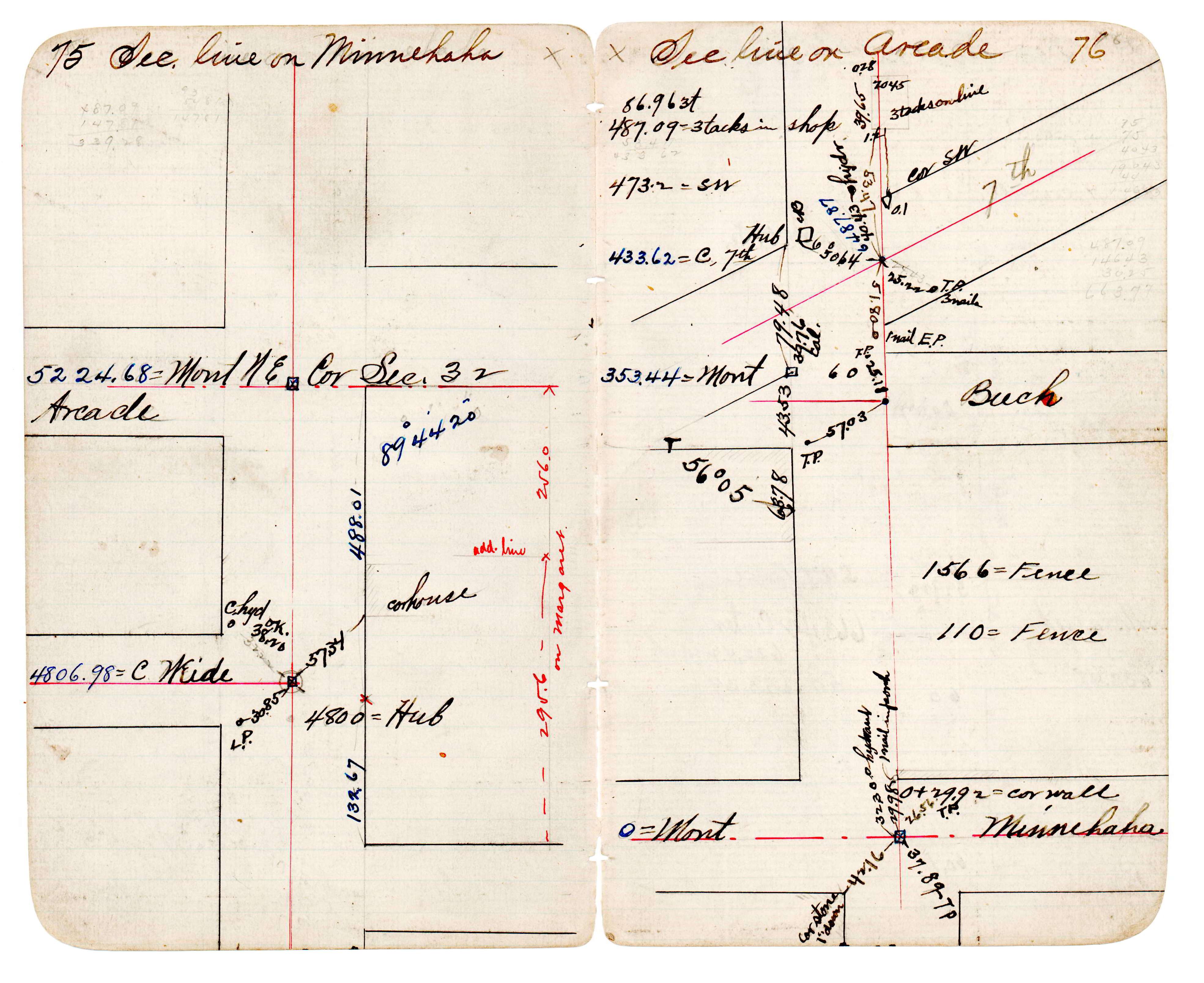
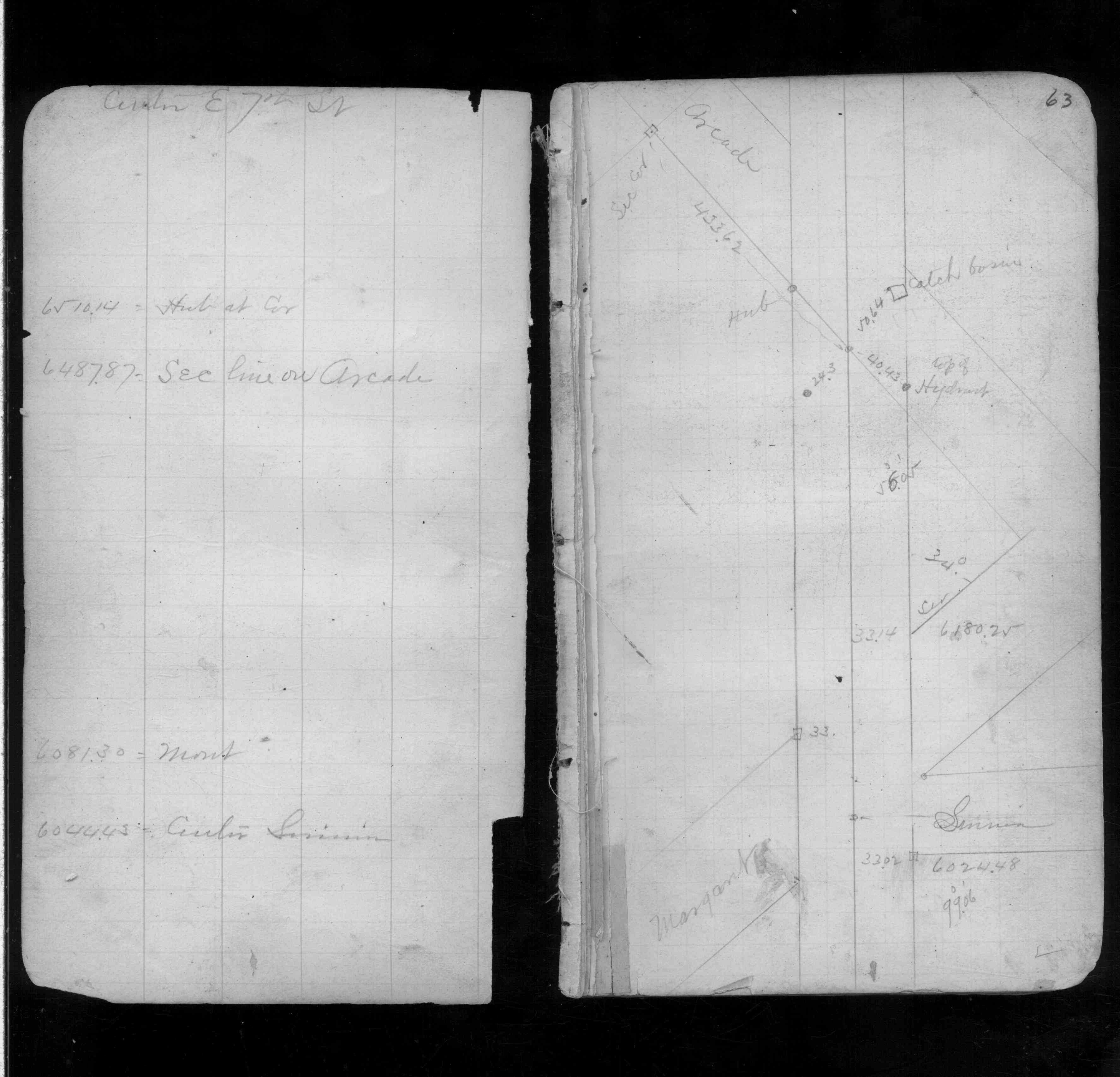
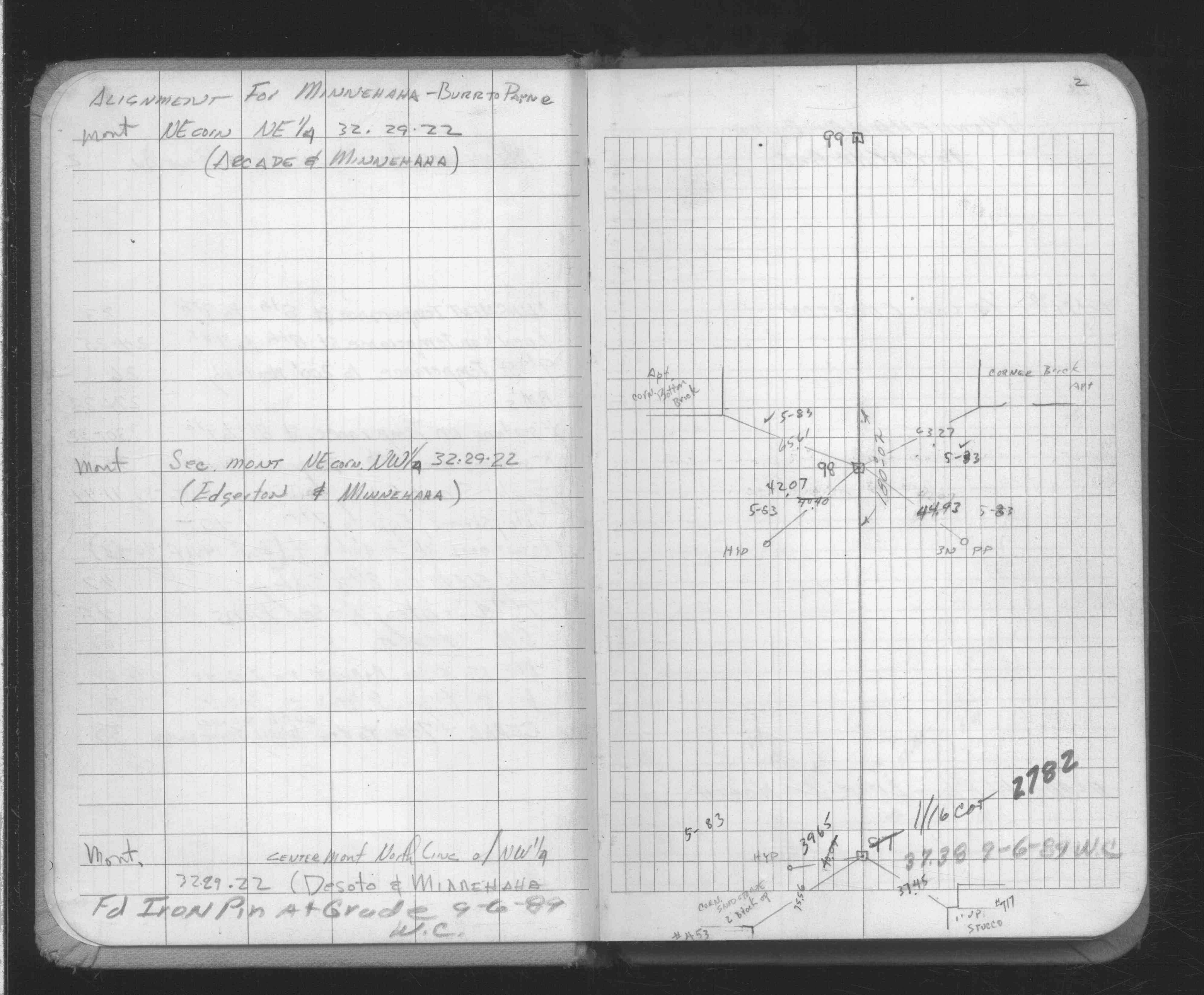
| FB 1676Dp.39 | ||||||
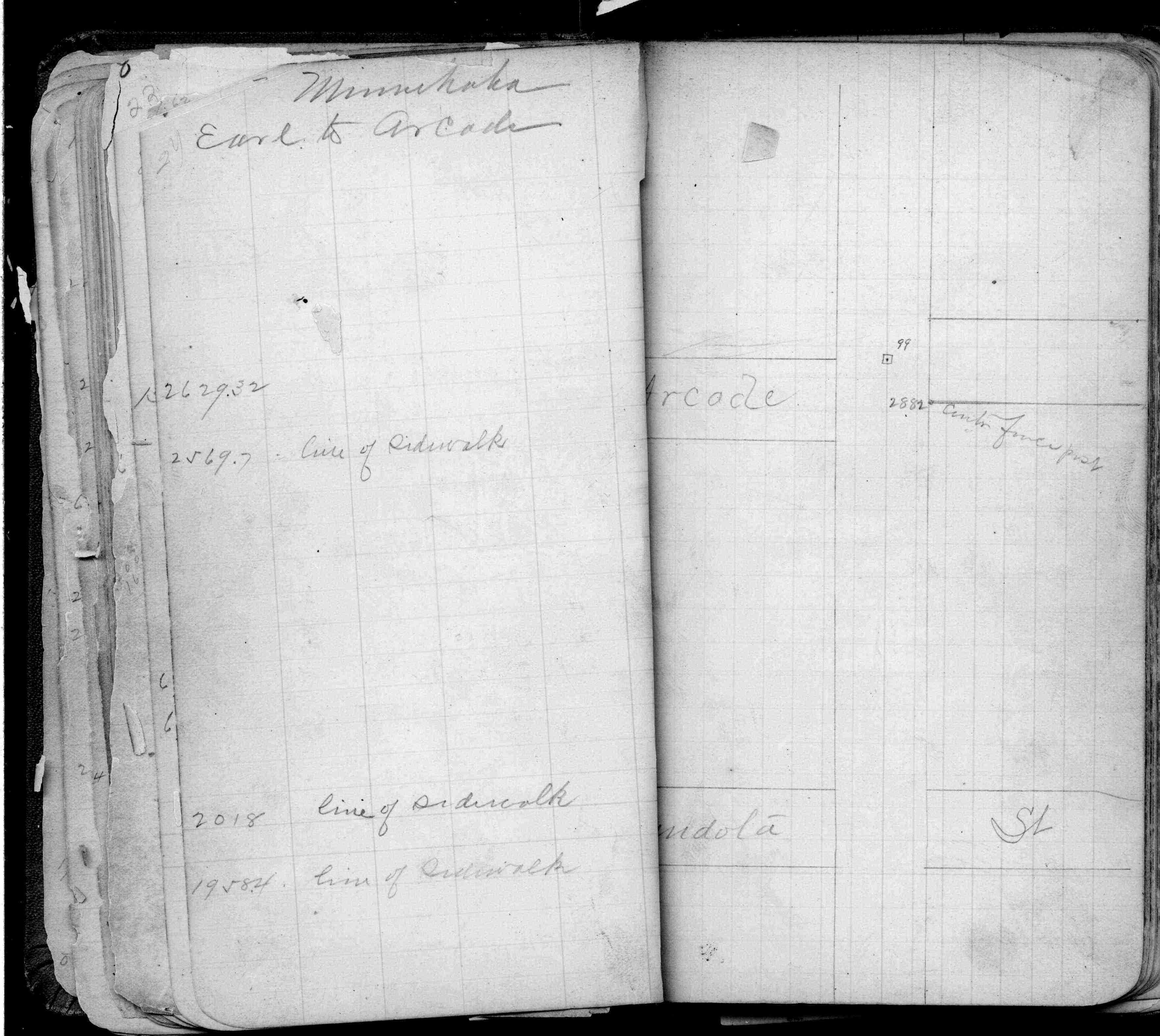
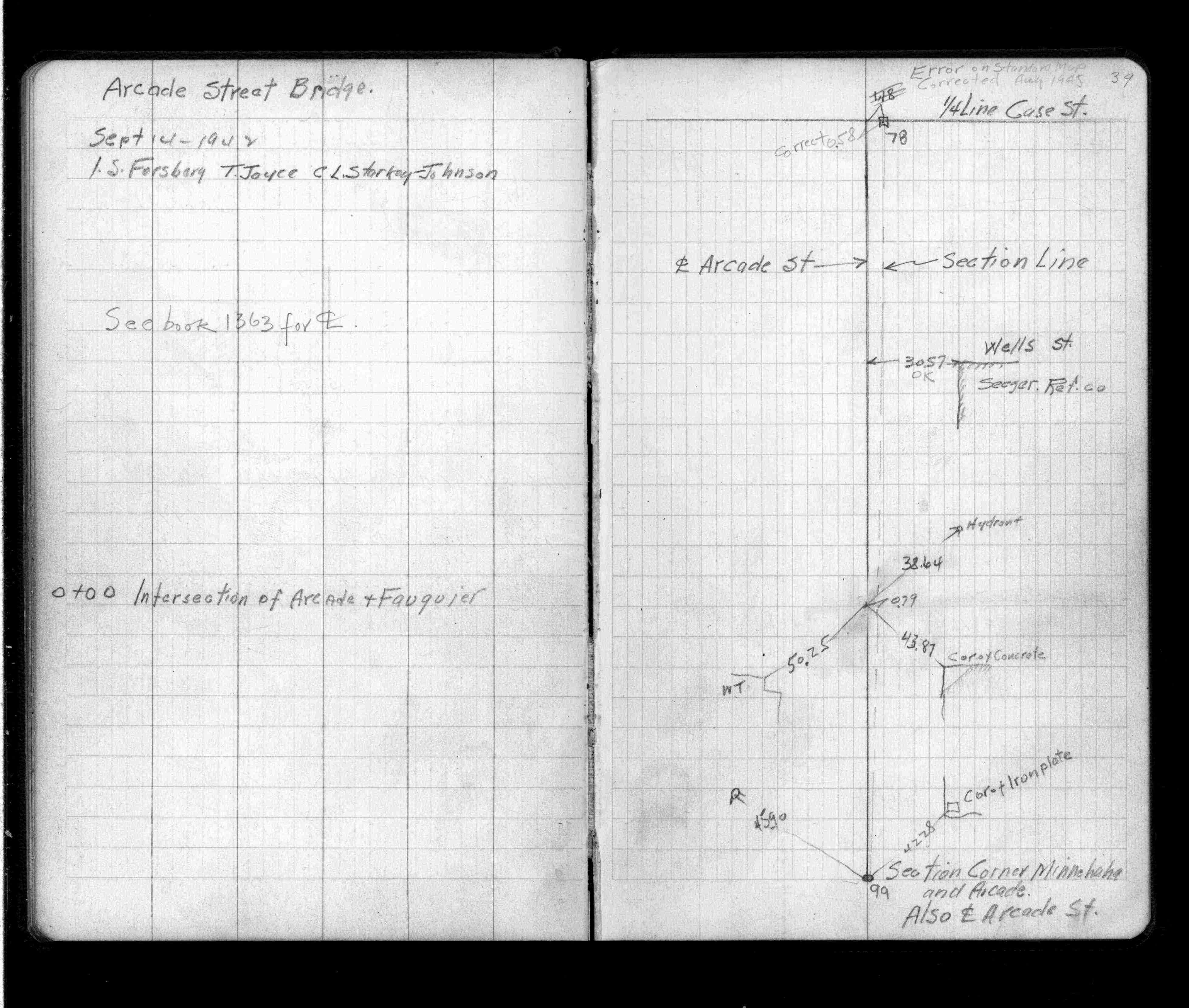
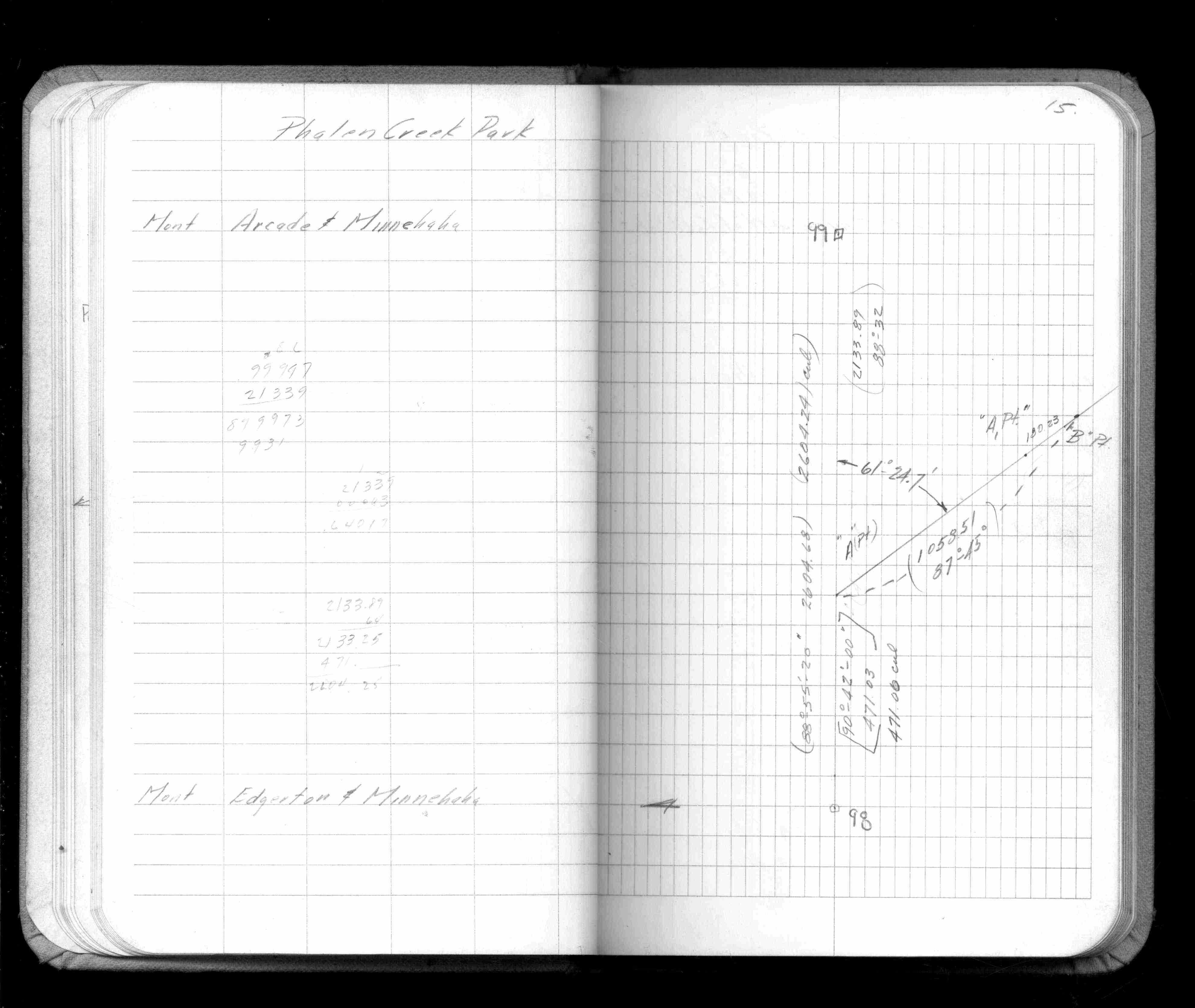
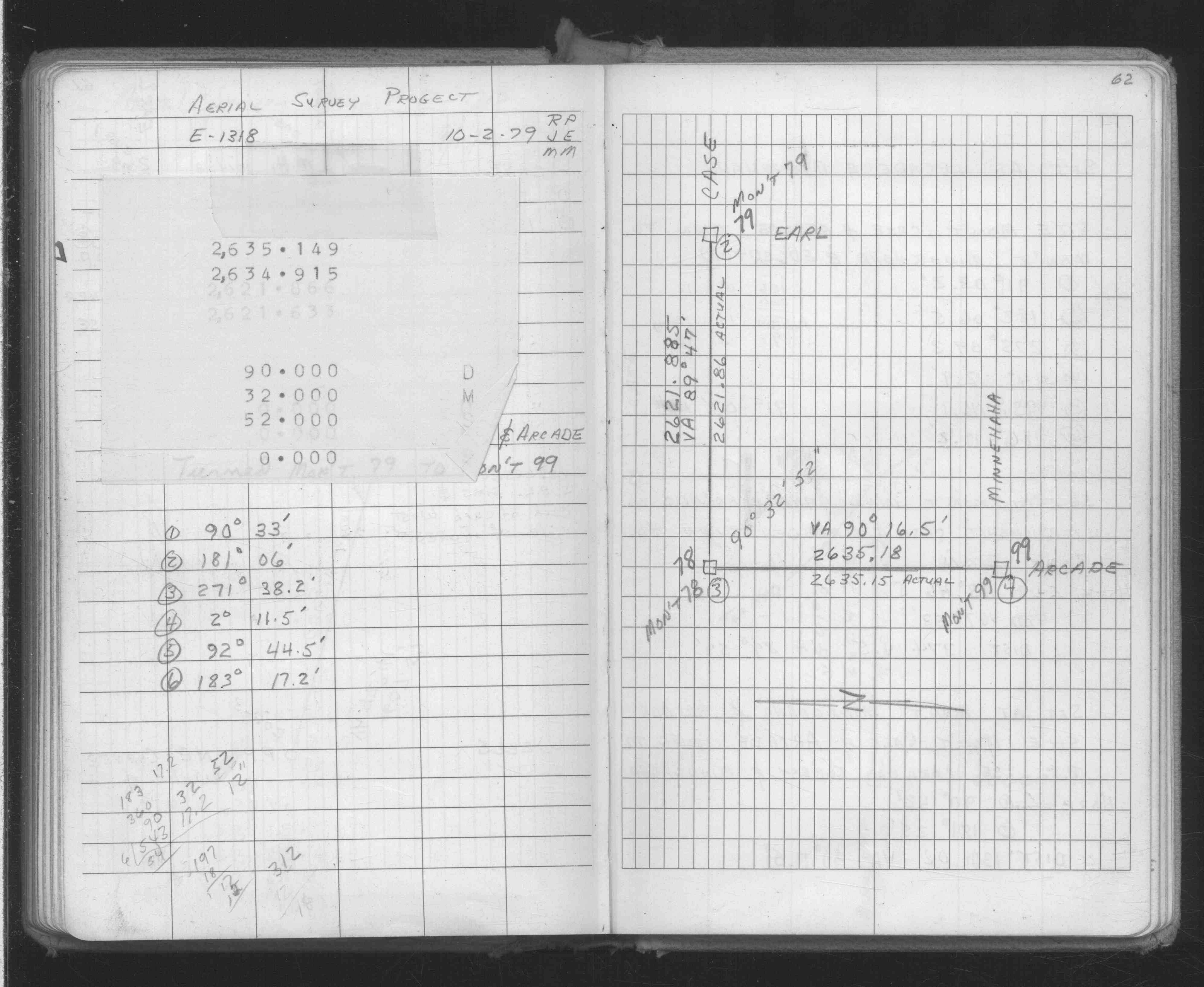
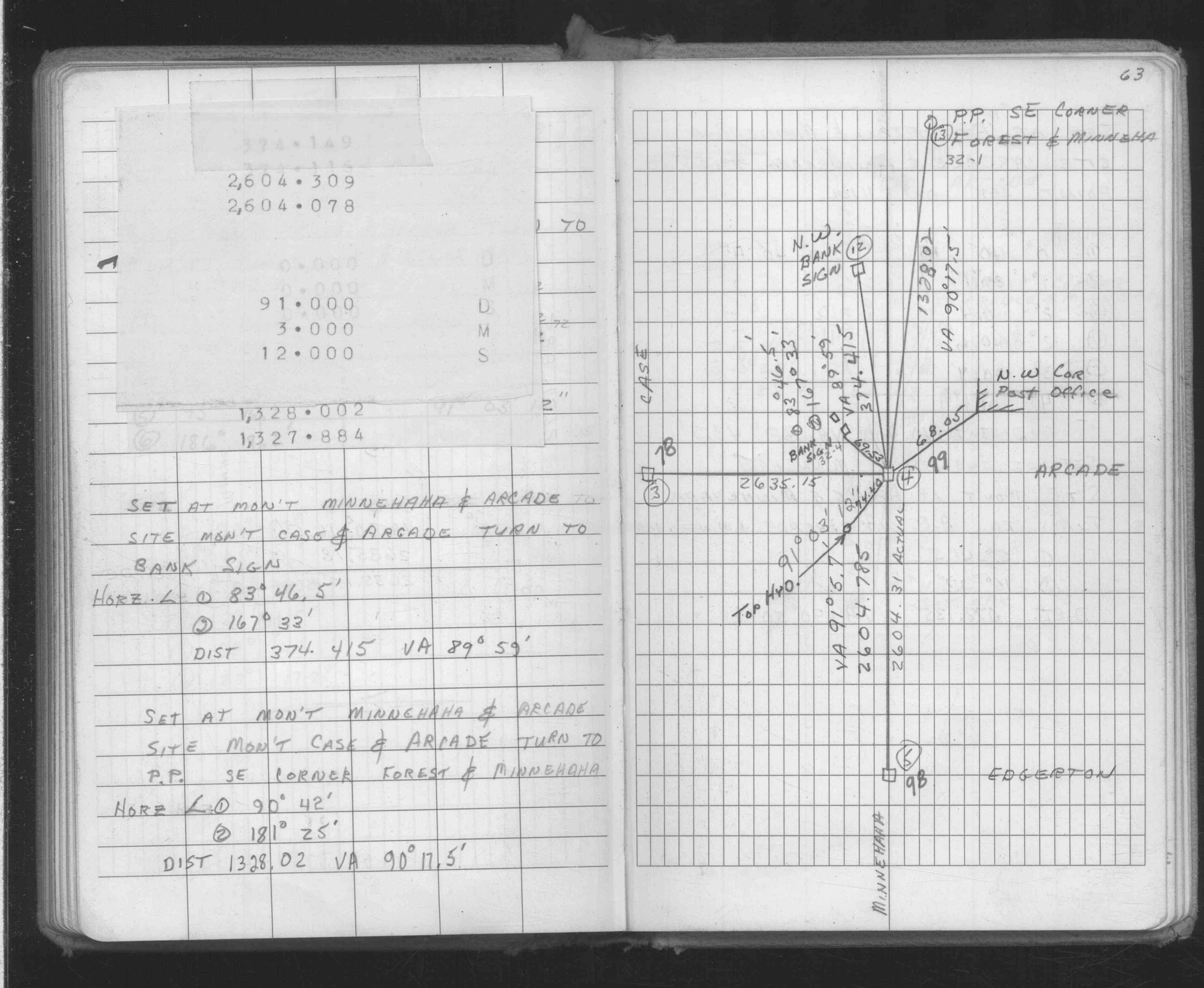
| FB 1716p.66 | ||||||
| FB 1716p.66 | ||||||
| FB 1719Ap.68 | ||||||
| FB 1736p.18 |
| FILE | SURVEYOR | LIC. NO. | DATE SIGNED | DATE TIED |
|---|---|---|---|---|
| 0099-0069-B.tif | Jeffery L. Grosso | 13144 | September 23, 2002 | September 19, 2002 |
| 0099-0069-A.tif | none | none | none | July 20, 1967 |
| ST_079-156p099.jpg | none | none | none | none |
| 0099-0069-A.dwf | none | none | none | none |
| FILE | PHOTO DATE | COMMENTS |
|---|---|---|
| 0099-0069-7.jpg | September 19, 2002 | Close up of CIM marked 'SECTION CORNER' set on September 19, 2002. |
| 0099-0069-6.jpg | September 19, 2002 | Close up of CIM set in concrete on September 19, 2002. |
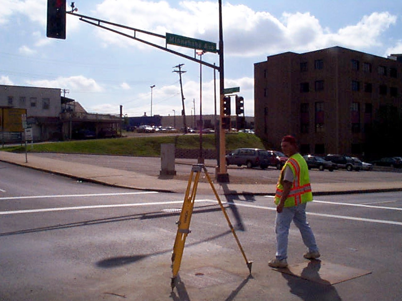
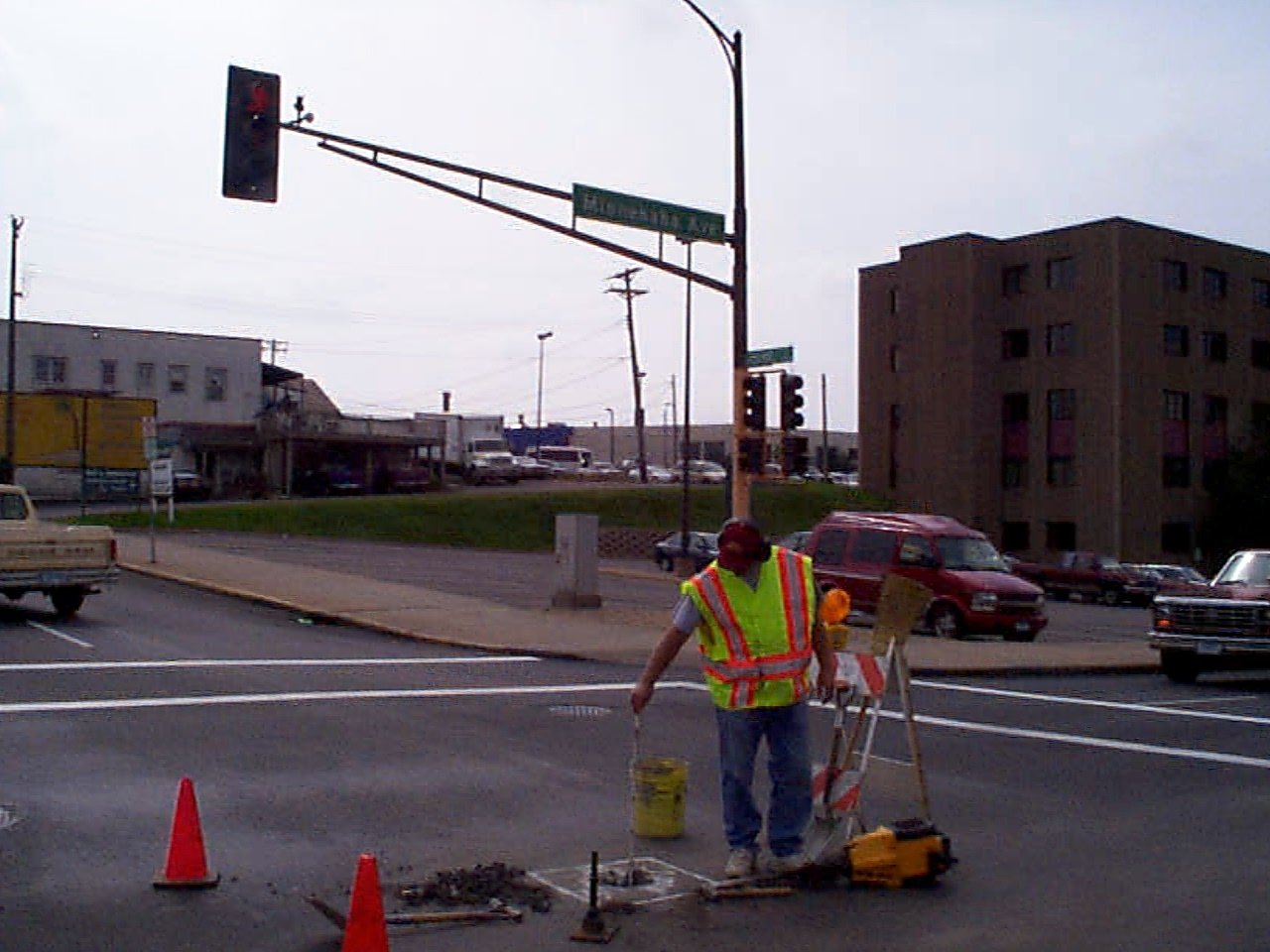
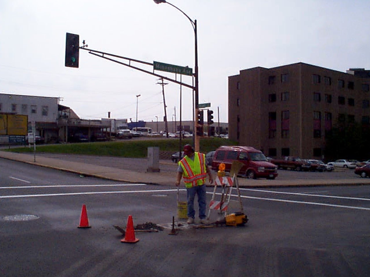
| 0099-0069-5.jpg | September 19, 2002 | Looking southwesterly. |
| 0099-0069-4.jpg | September 18, 2002 | Looking southwesterly towards excavation. |
| 0099-0069-3.jpg | September 18, 2002 | Looking southwesterly. |
| 0099-0069-2.jpg | September 18, 2002 | 2nd recovered broken CIM 2.1 ft below street grade. |
| 0099-0069-1.jpg | September 18, 2002 | Recovered broken CIM 0.6 ft below street grade. |