|
FILE
|
PHOTO DATE
|
COMMENTS
|
|
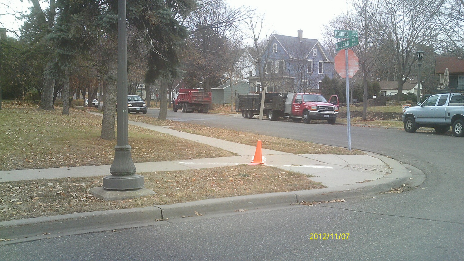
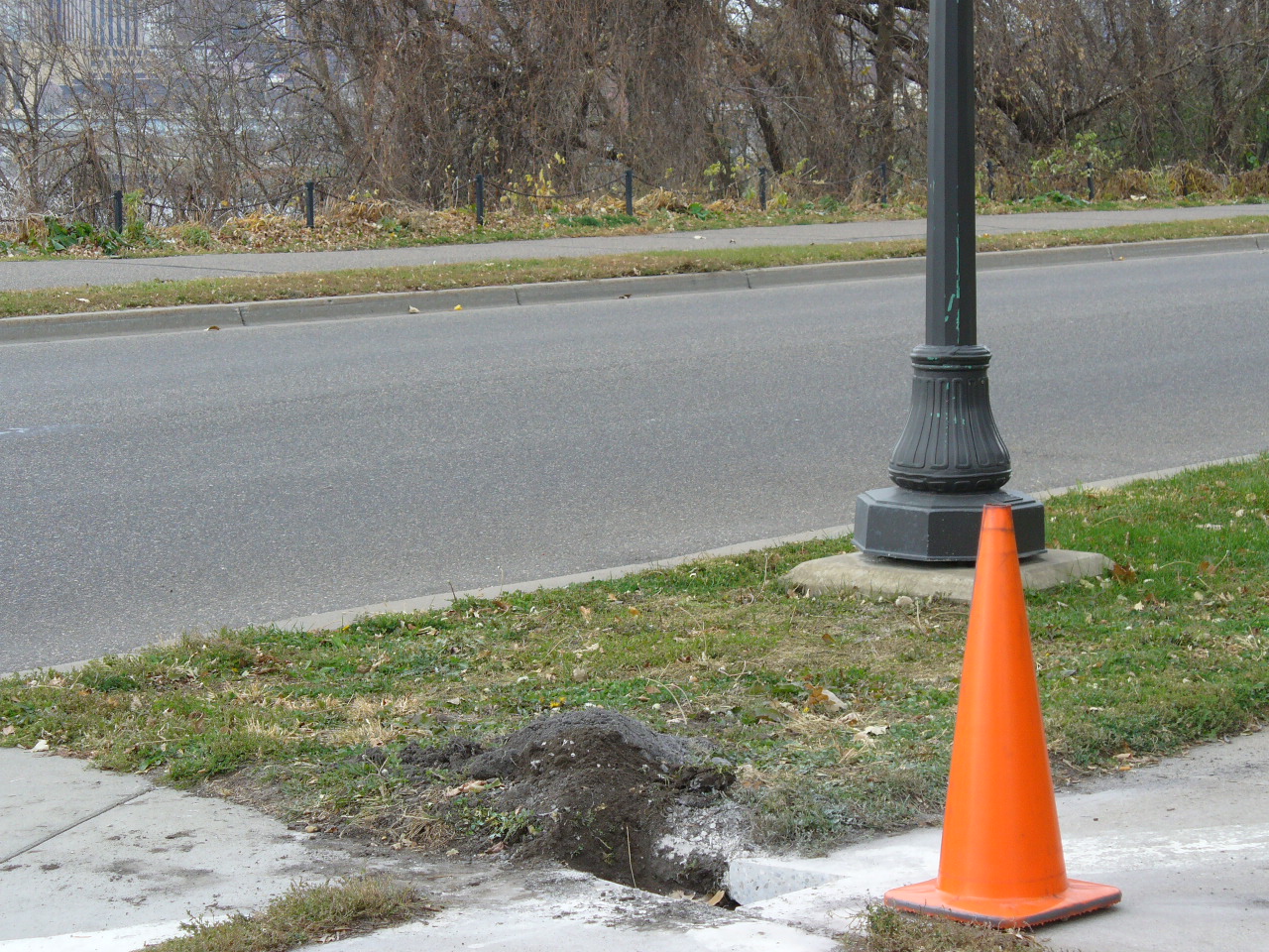
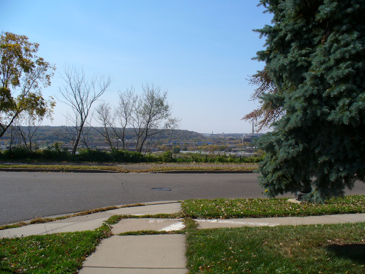
0141-0111-29.jpg
|
November 7, 2012
|
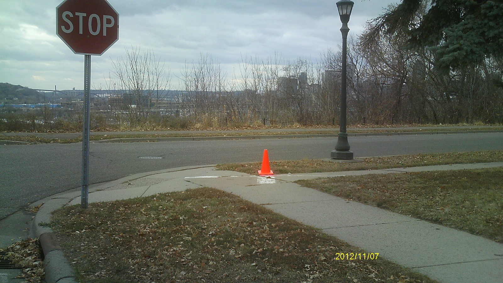
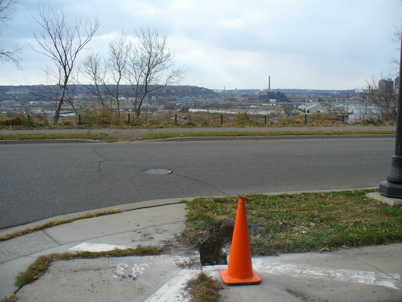
Looking west across Mounds Blvd.
|
|
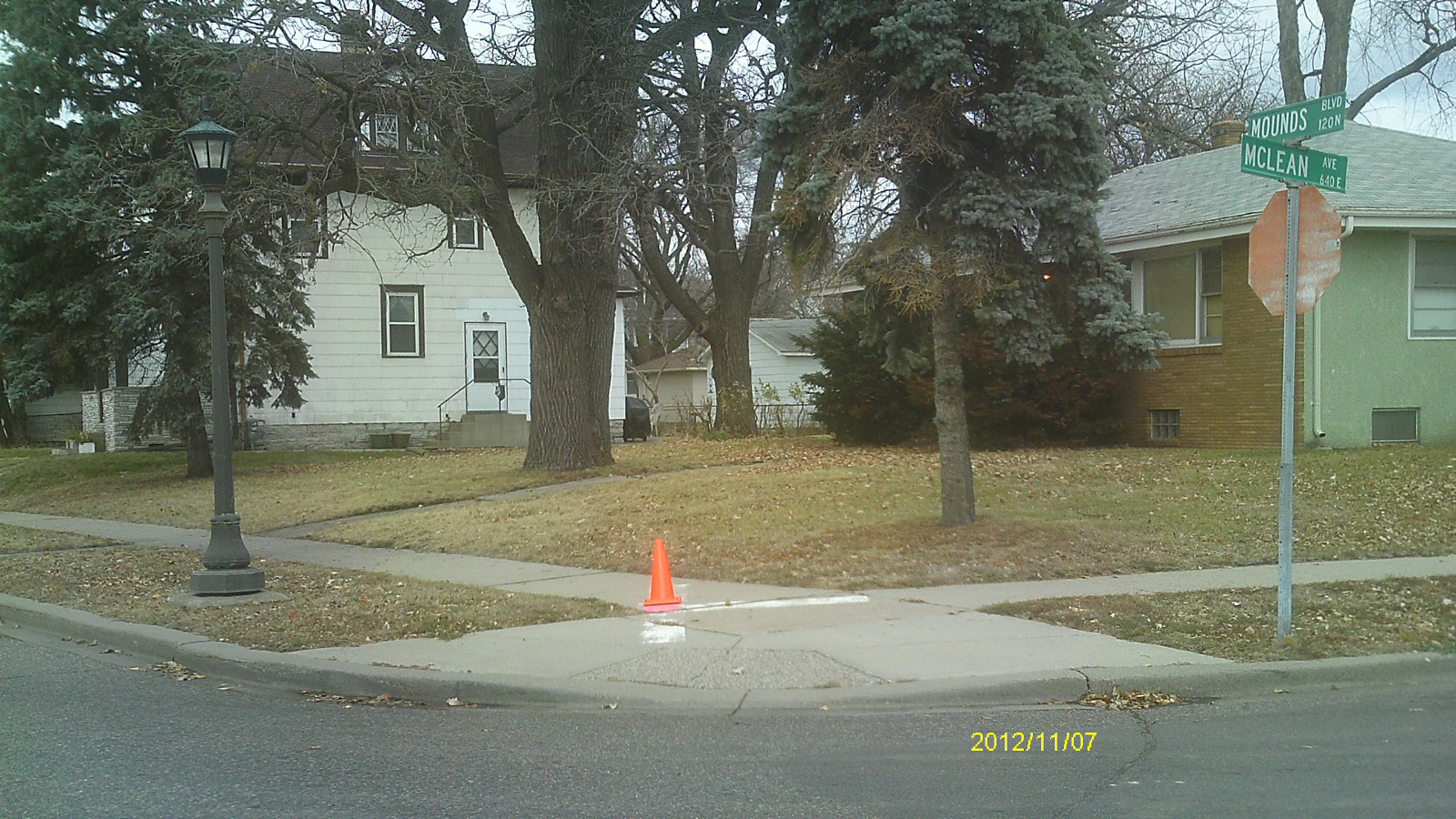
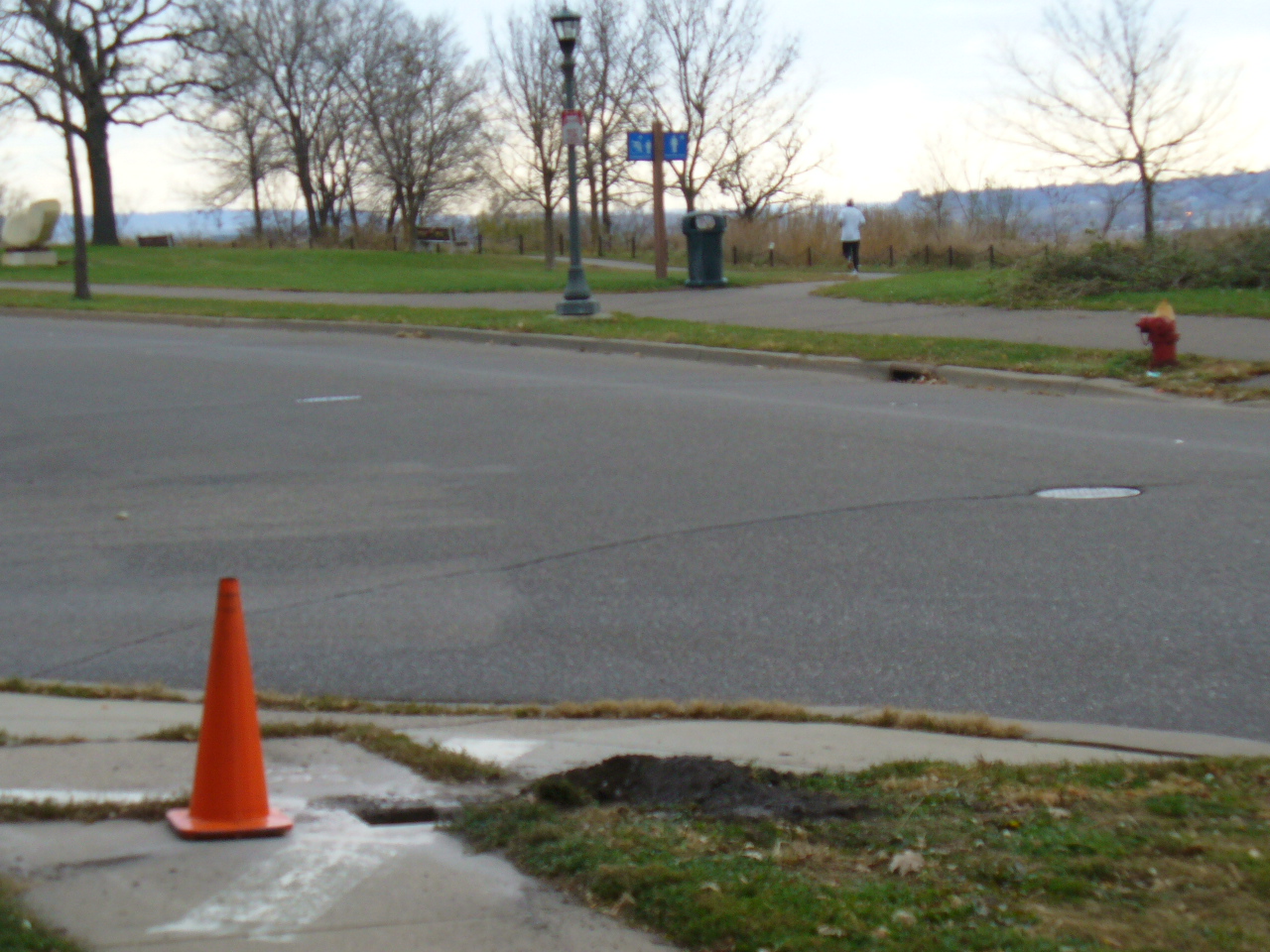
0141-0111-28.jpg
|
November 7, 2012
|
Looking south across Mounds Blvd.
|
|
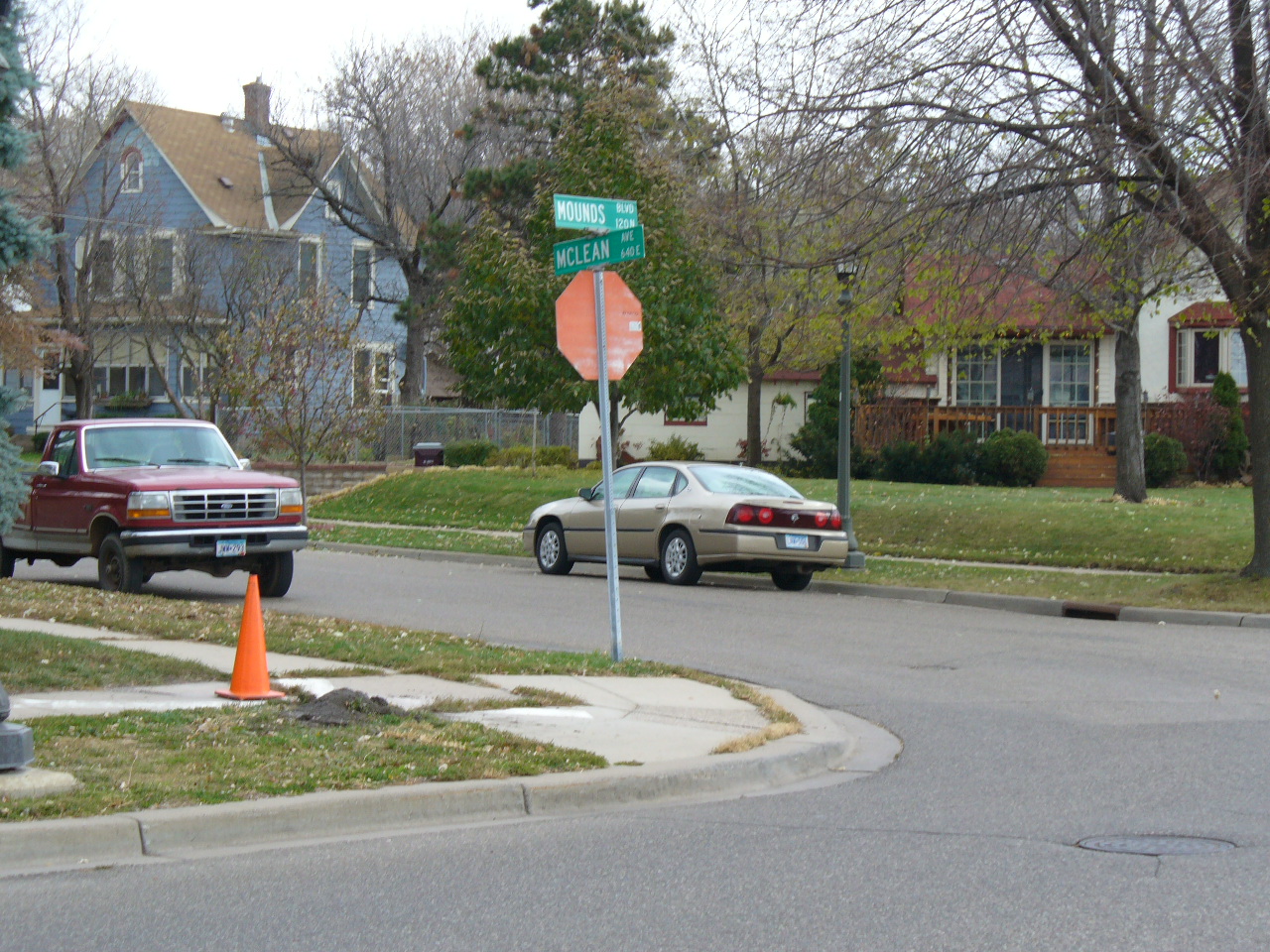
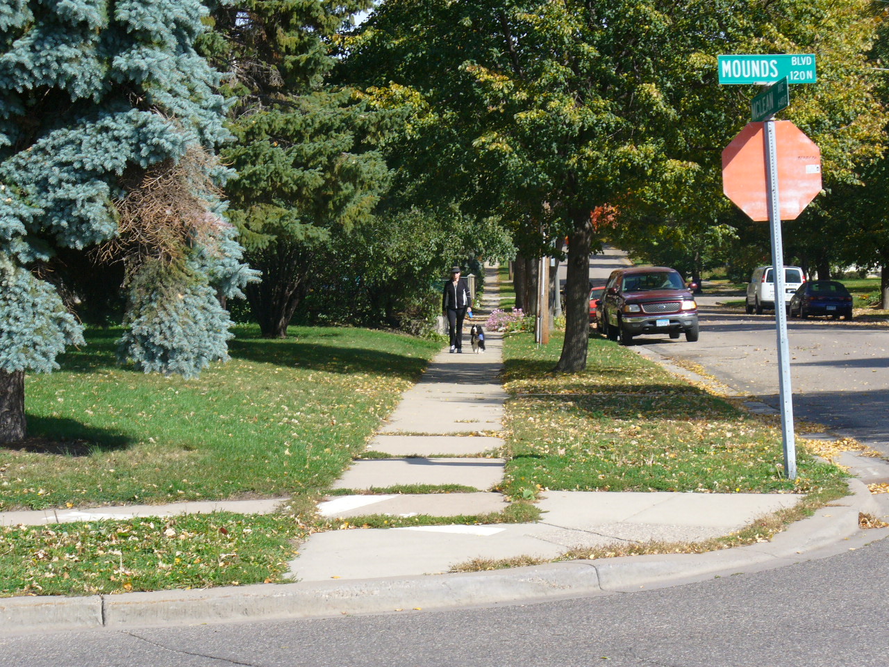
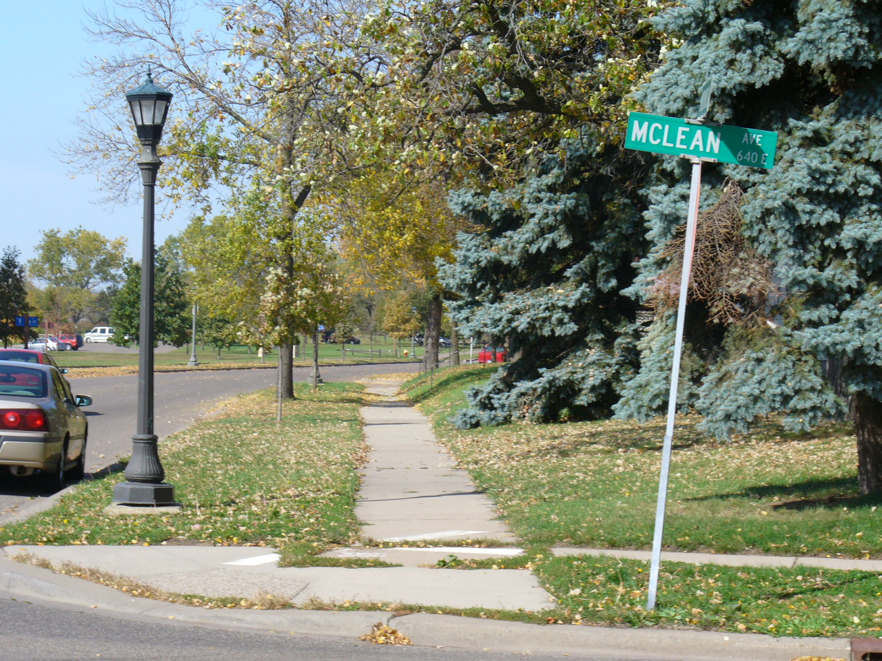
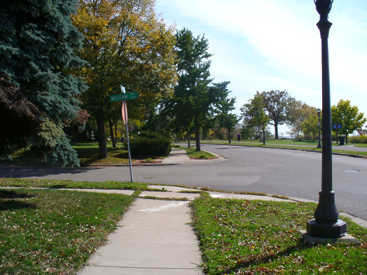
0141-0111-27.jpg
|
November 7, 2012
|
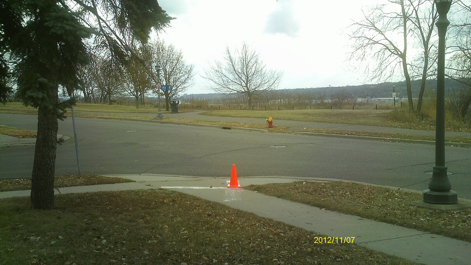
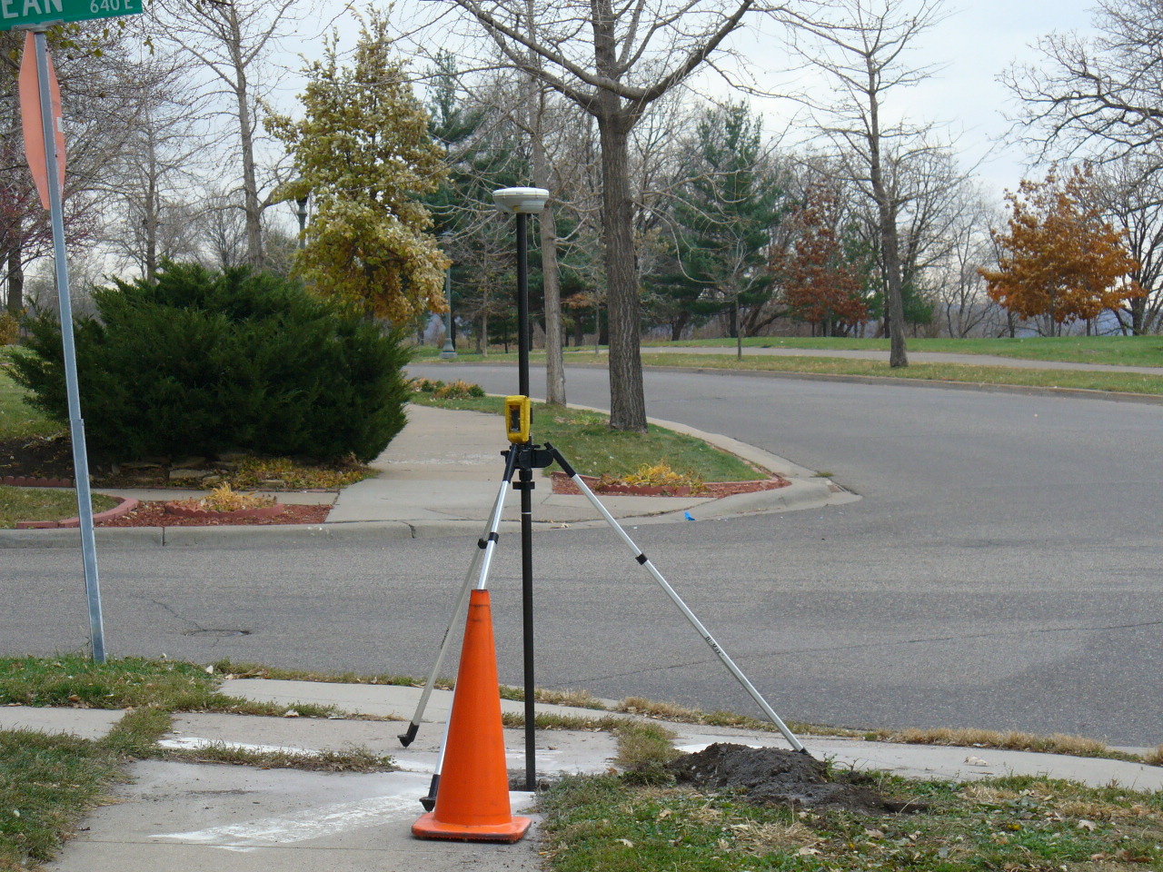
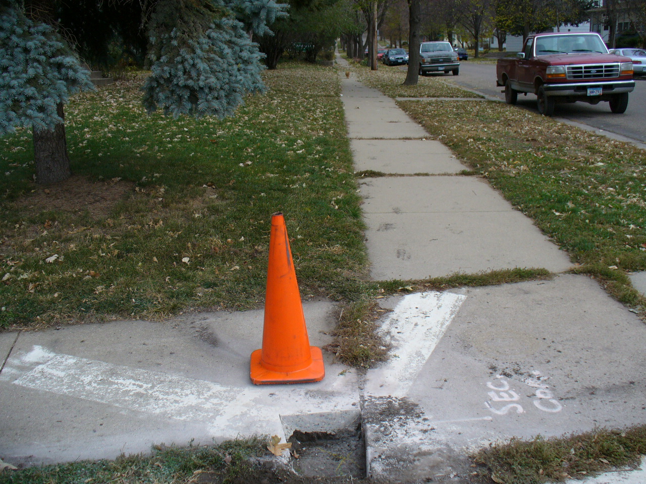
Looking east along McLean Ave.
|
|
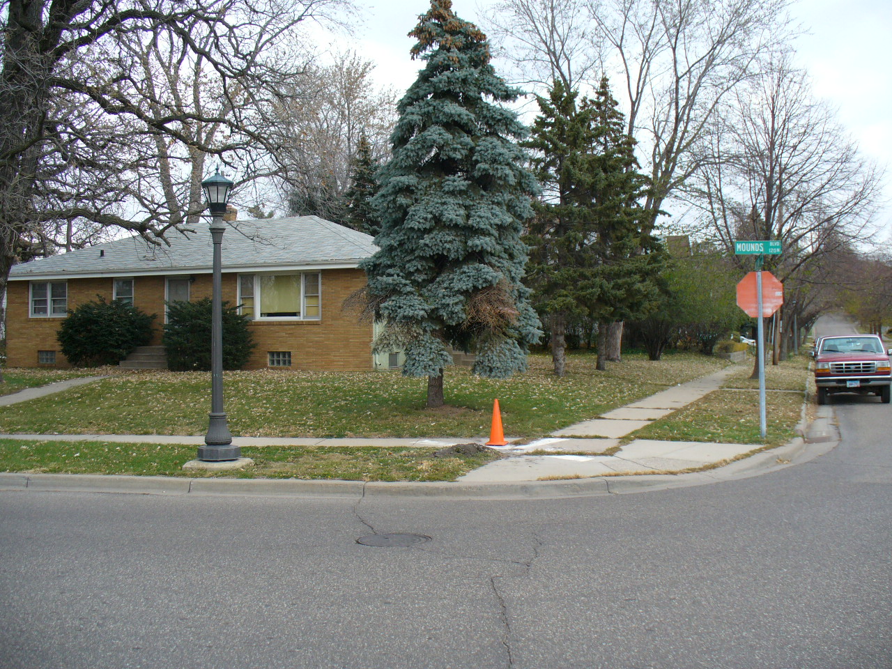
0141-0111-26.jpg
|
November 7, 2012
|
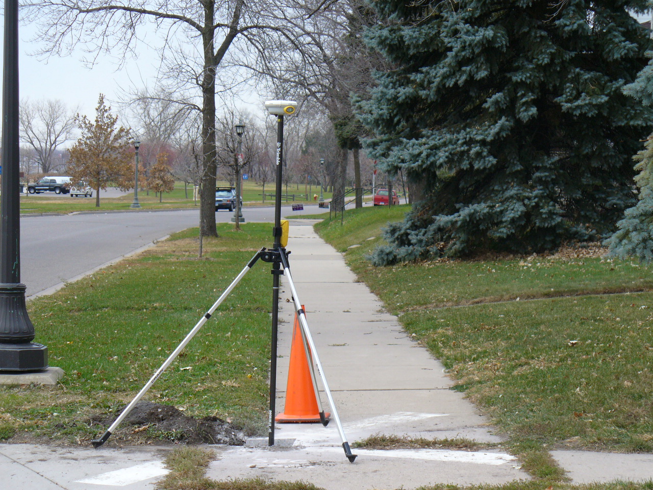
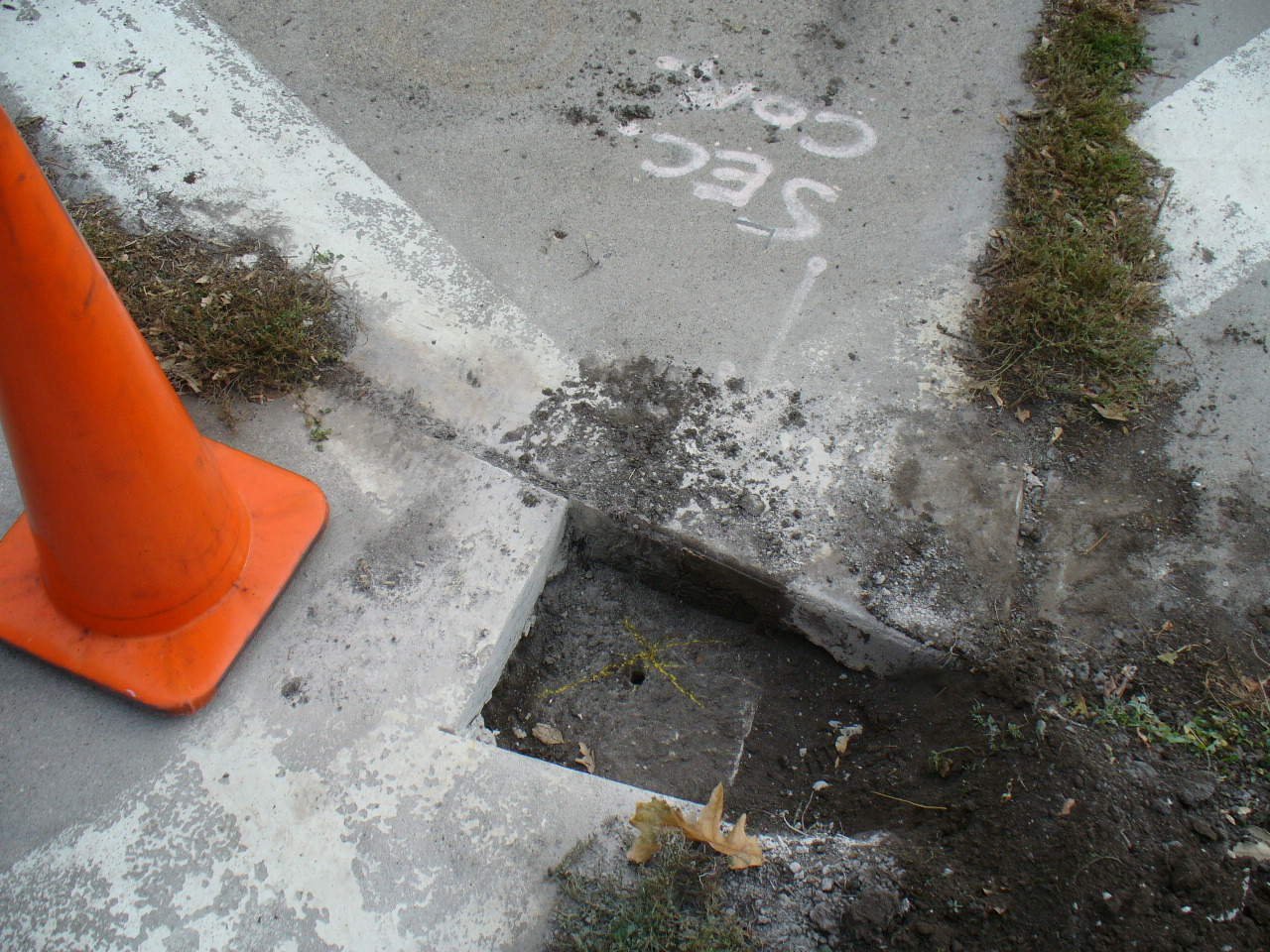
Looking north.
|
|
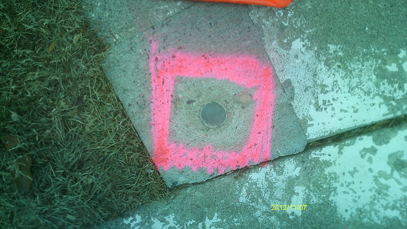
0141-0111-25.jpg
|
November 7, 2012
|
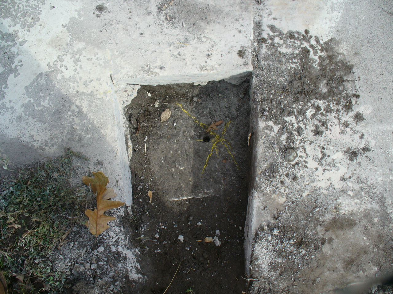
Close up of monument.
|
|
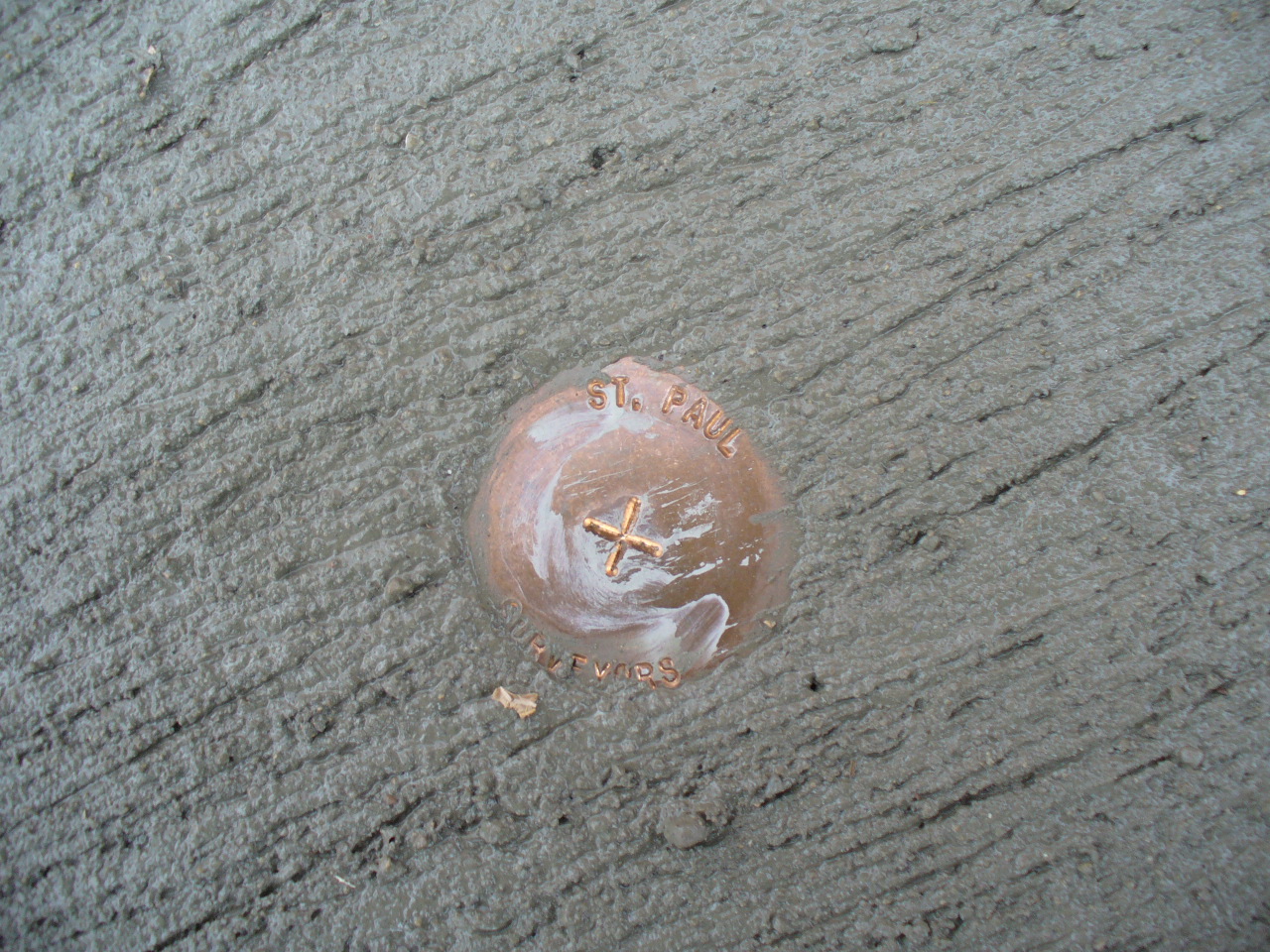
0141-0111-24.jpg
|
November 1, 2006
|
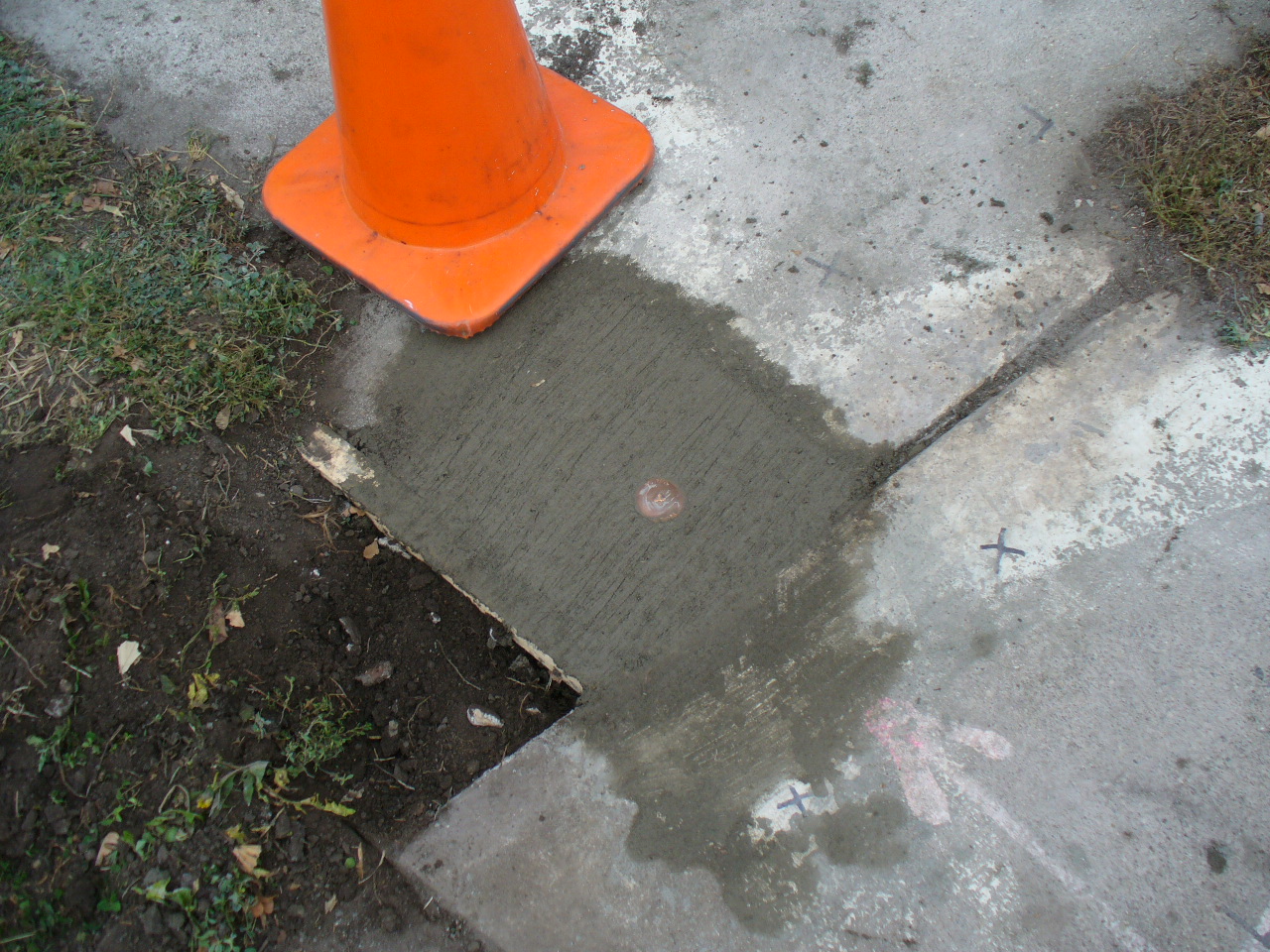
Close-up of the new Bronze Cap.
|
|
0141-0111-23.jpg
|
November 1, 2006
|
New Bronze Cap set in concrete over the GM.
|
|
0141-0111-22.jpg
|
November 1, 2006
|
Looking Southwesterly from the North side of Mounds Blvd. Tie to an Iron Pin in the foreground.
|
|
0141-0111-20.jpg
|
November 1, 2006
|
Looking Southeasterly along the North side of Mounds Blvd.
|
|
0141-0111-19.jpg
|
November 1, 2006
|
Looking Northwesterly along the North side of Mounds Blvd.
|
|
0141-0111-18.jpg
|
November 1, 2006
|
Looking Southwesterly from the North side of Mounds Blvd. Tie to a mag nail in the base of the light std.
|
|
0141-0111-17.jpg
|
November 1, 2006
|
Looking Southeasterly from the North side of Mounds Blvd. Ties to the light std., hydrant and the closer MH.
|
|
0141-0111-16.jpg
|
November 1, 2006
|
Looking Northeasterly from the South side of Mounds Blvd. Tie to a chisel mark in the base of the light std.
|
|
0141-0111-15.jpg
|
November 1, 2006
|
Looking Northwesterly from the South side of Mounds Blvd. Ties to the corners and steps of the house.
|
|
0141-0111-13.jpg
|
November 1, 2006
|
Looking Southwesterly along the West side of McLean Ave.
|
|
0141-0111-12.jpg
|
November 1, 2006
|
Looking Notheasterly along the West side of McLean Ave.
|
|
0141-0111-11.jpg
|
November 1, 2006
|
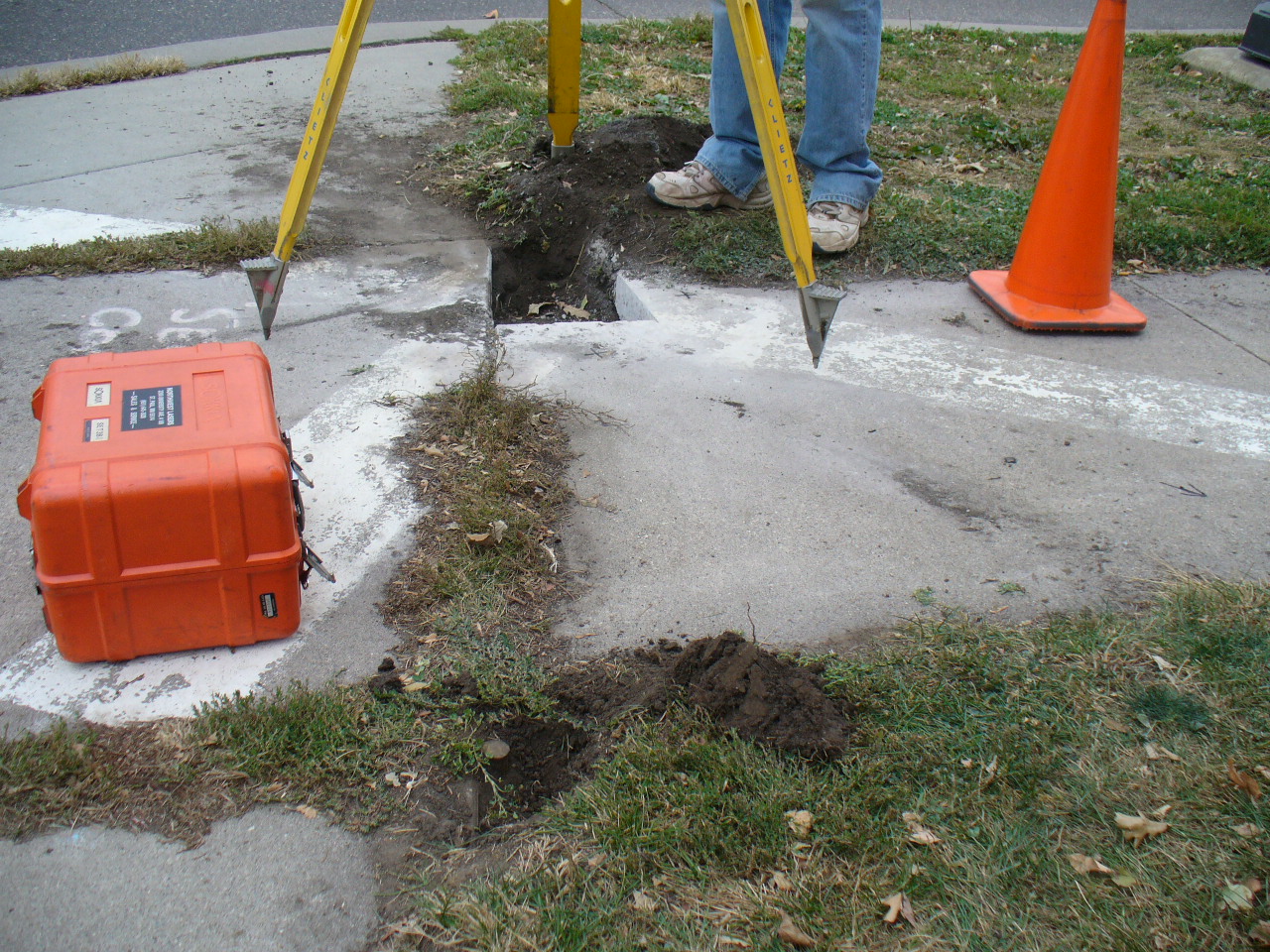
GM after the sidewalk was cut out.
|
|
0141-0111-10.jpg
|
November 1, 2006
|
GM after the sidewalk was cut out. The yellow 'X' marks where the location of the drill hole in the sidewalk.
|
|
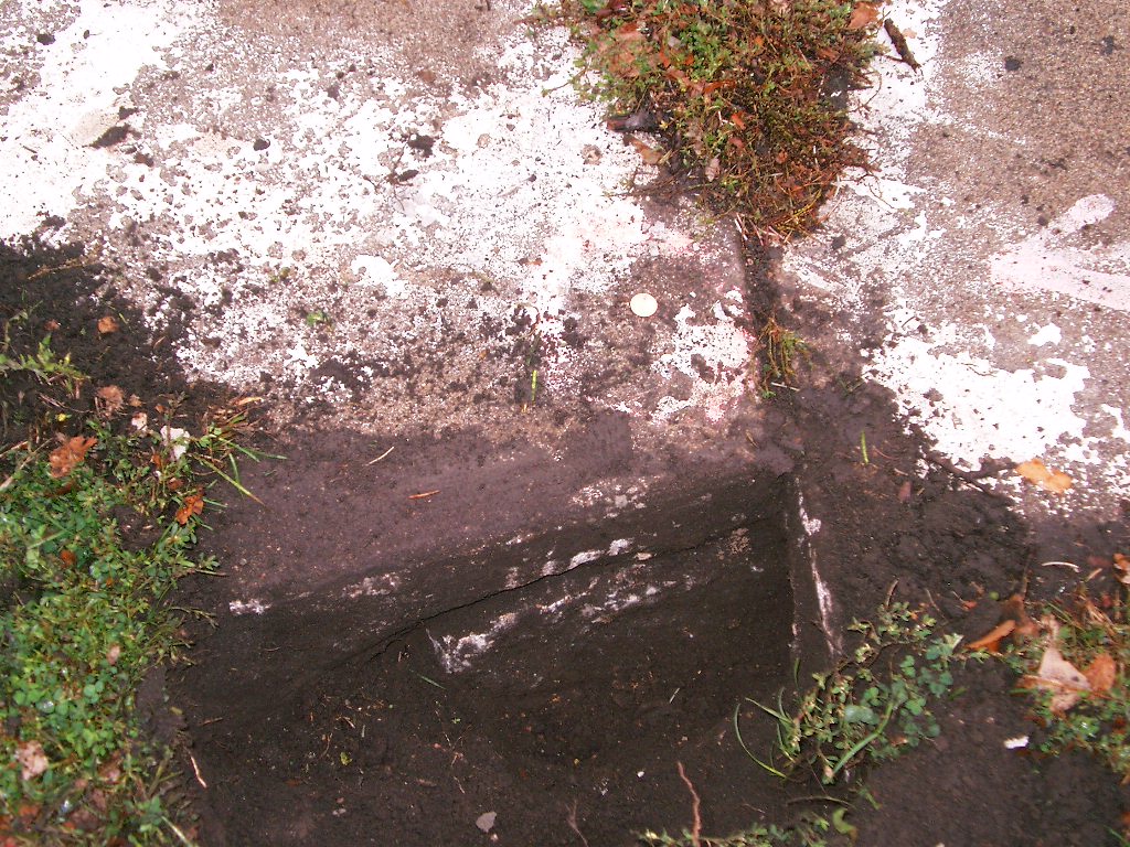
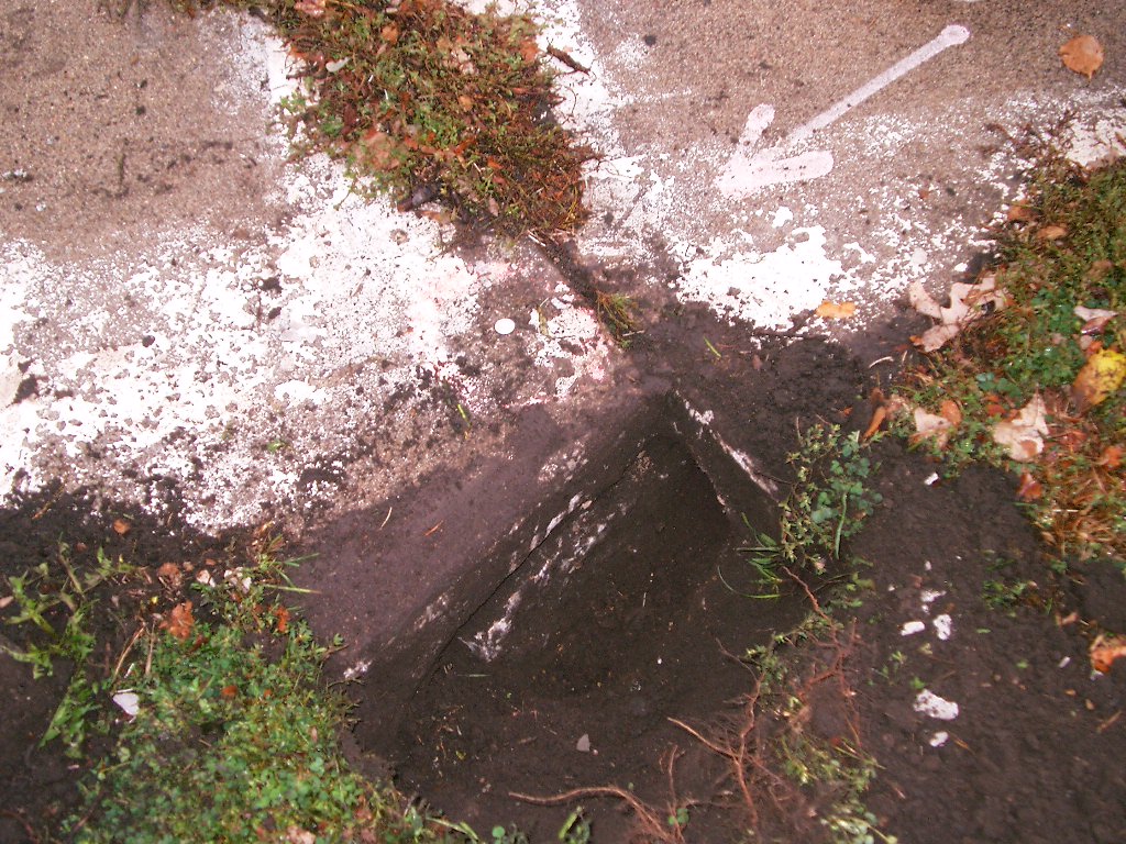
0141-0111-7.jpg
|
October 18, 2006
|
GM under the sidewalk.
|
|
0141-0111-6.jpg
|
October 18, 2006
|
GM under the sidewalk.
|
|
0141-0111-5.jpg
|
October 6, 2006
|
Looking Notheasterly along the West side of McLean Ave.
|
|
0141-0111-4.jpg
|
October 6, 2006
|
Looking Northwesterly along the North side of Mounds Blvd.
|
|
0141-0111-3.jpg
|
October 6, 2006
|
Looking Southwesterly along the West side of McLean Ave.
|
|
0141-0111-2.jpg
|
October 6, 2006
|
Looking Southeasterly along the North side of Mounds Blvd.
|
|
0141-0111-1.jpg
|
October 6, 2006
|
Close-up of the drill hole in the sidewalk.
|