| NAD83 COORDINATES (1986 adj.): |
|---|
| * X= 587471.692 Y= 157623.775 Z= 000.00 LSQ 12/06/1991 S FIX |
| 10/6/2006 | Fd CIM 0.5 ft below grass surface behind curb. Photos taken. |
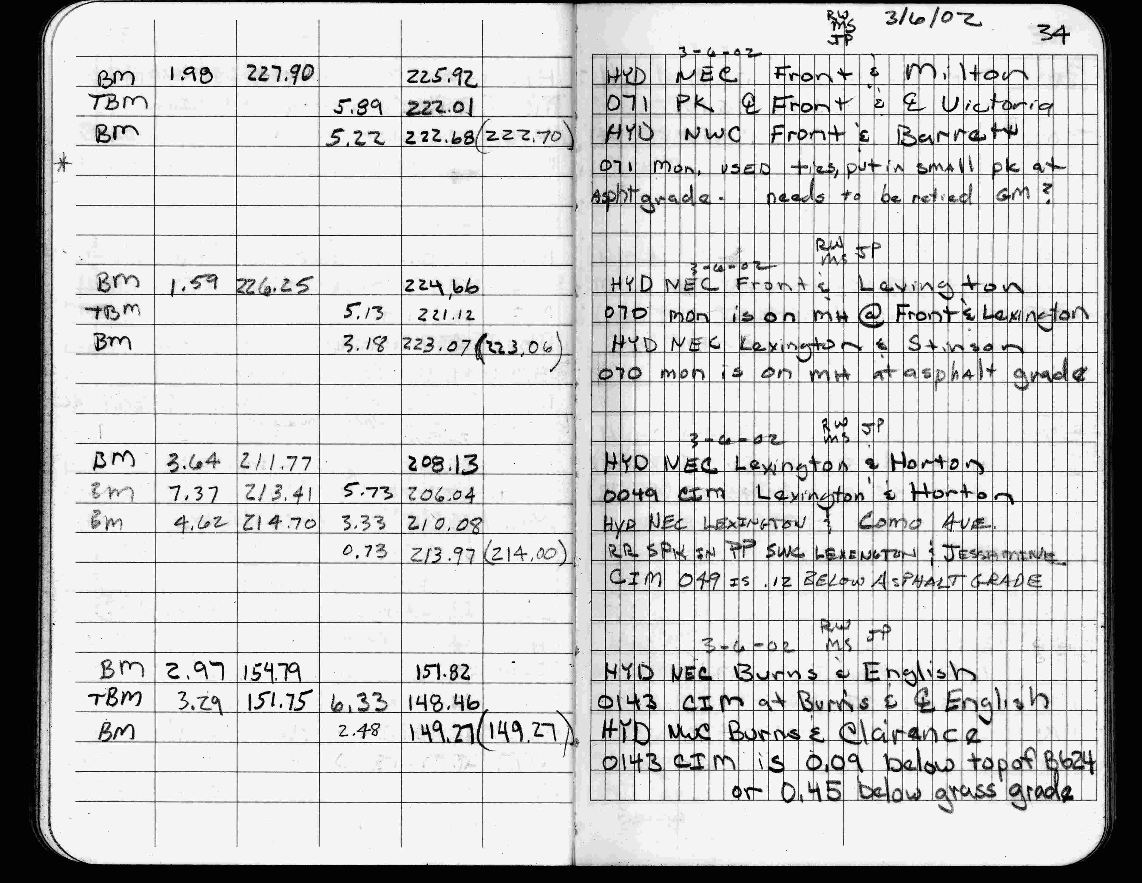
| 3/6/2002 | Elev 148.46 ft on CIM 0.45 ft below grass surface. See FB 1736 p.34 |
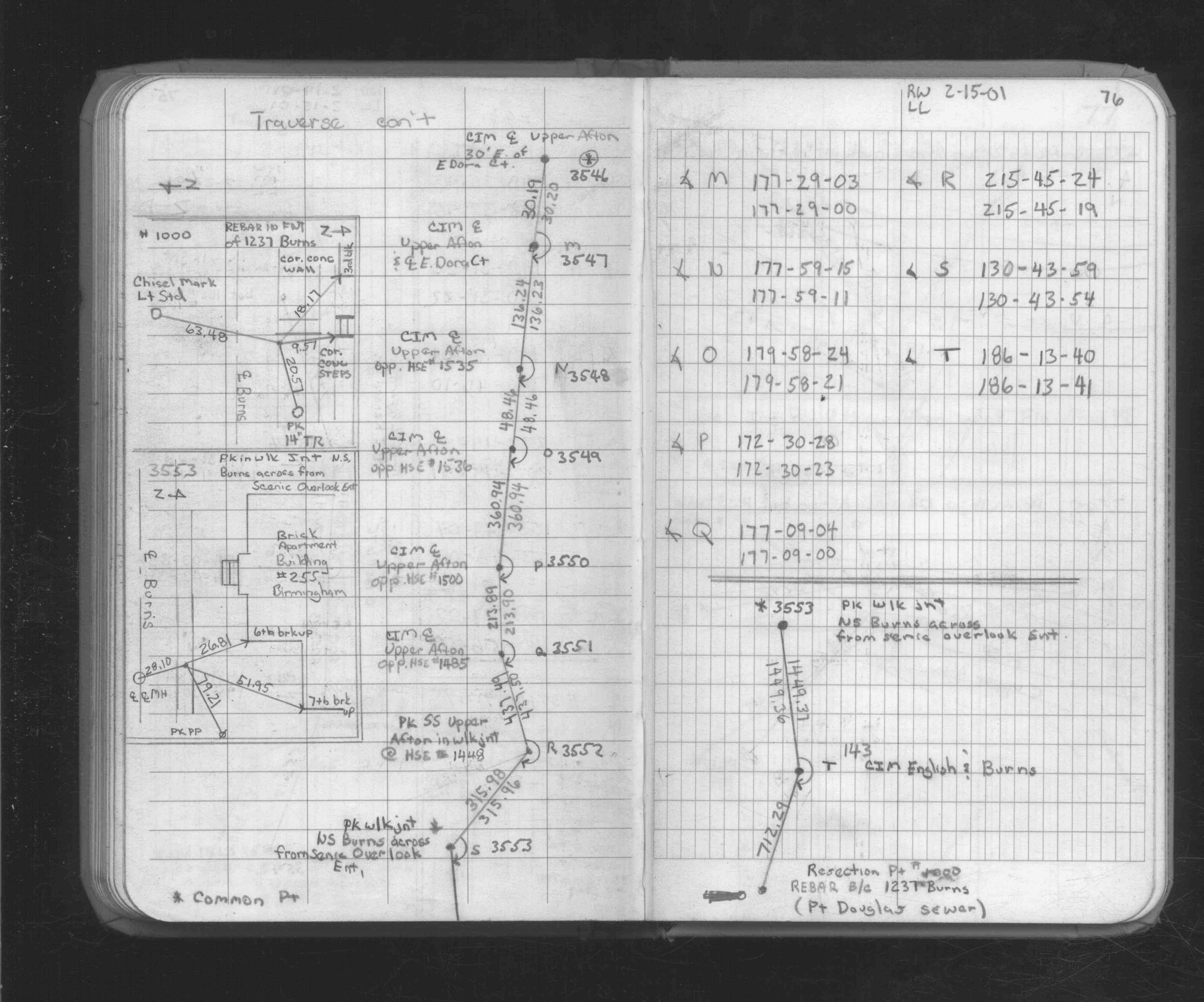
| 2/15/2001 | Traversed through CIM. See FB 1734A p.76 |
| 5/18/2000 | Removed fabric target for 2000 aerial |
| 3/17/2000 | Fd CIM 0.30 ft below grade (placed fabric target for 2000 aerial) |
| 12/13/1995 | Fd CIM 0.3 ft below grade, placed ties, left CIM as found. See CofL 0143-0115-A |
| 1/1/1985 | (Unknown date ___ __,1985 ) Historic, one time only GPS survey = S169 |
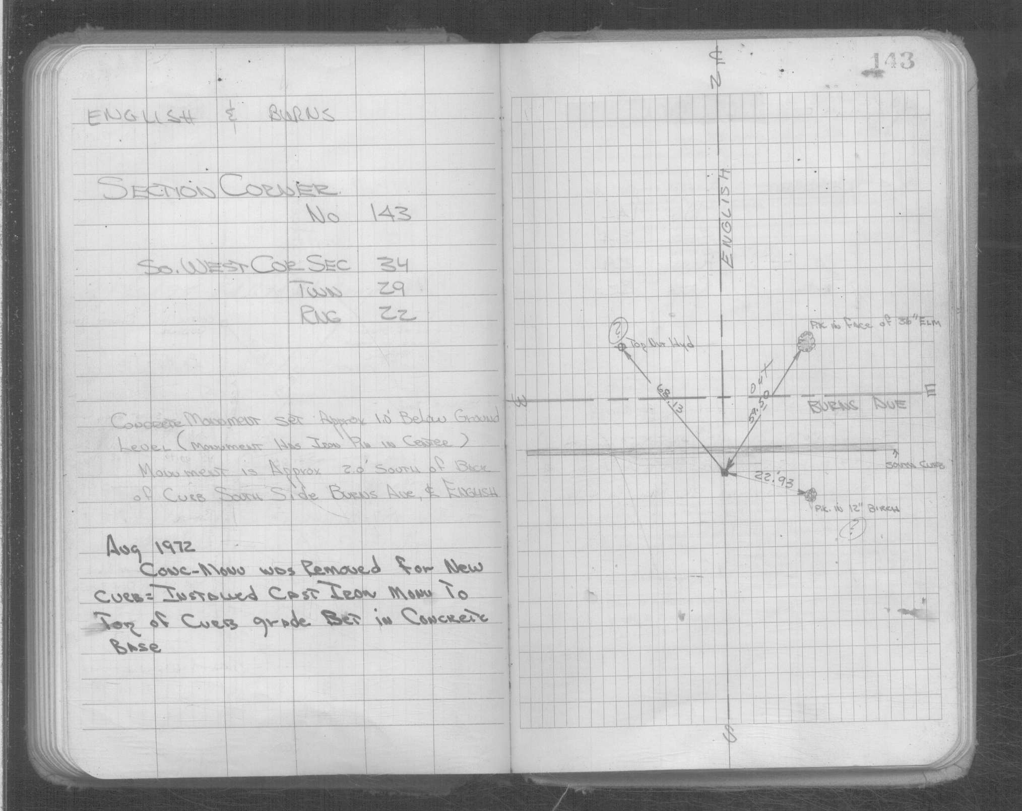
| 8/1/1972 | (Unknown date Aug __, 1972 ) CIM set in concrete at top of curb grade |
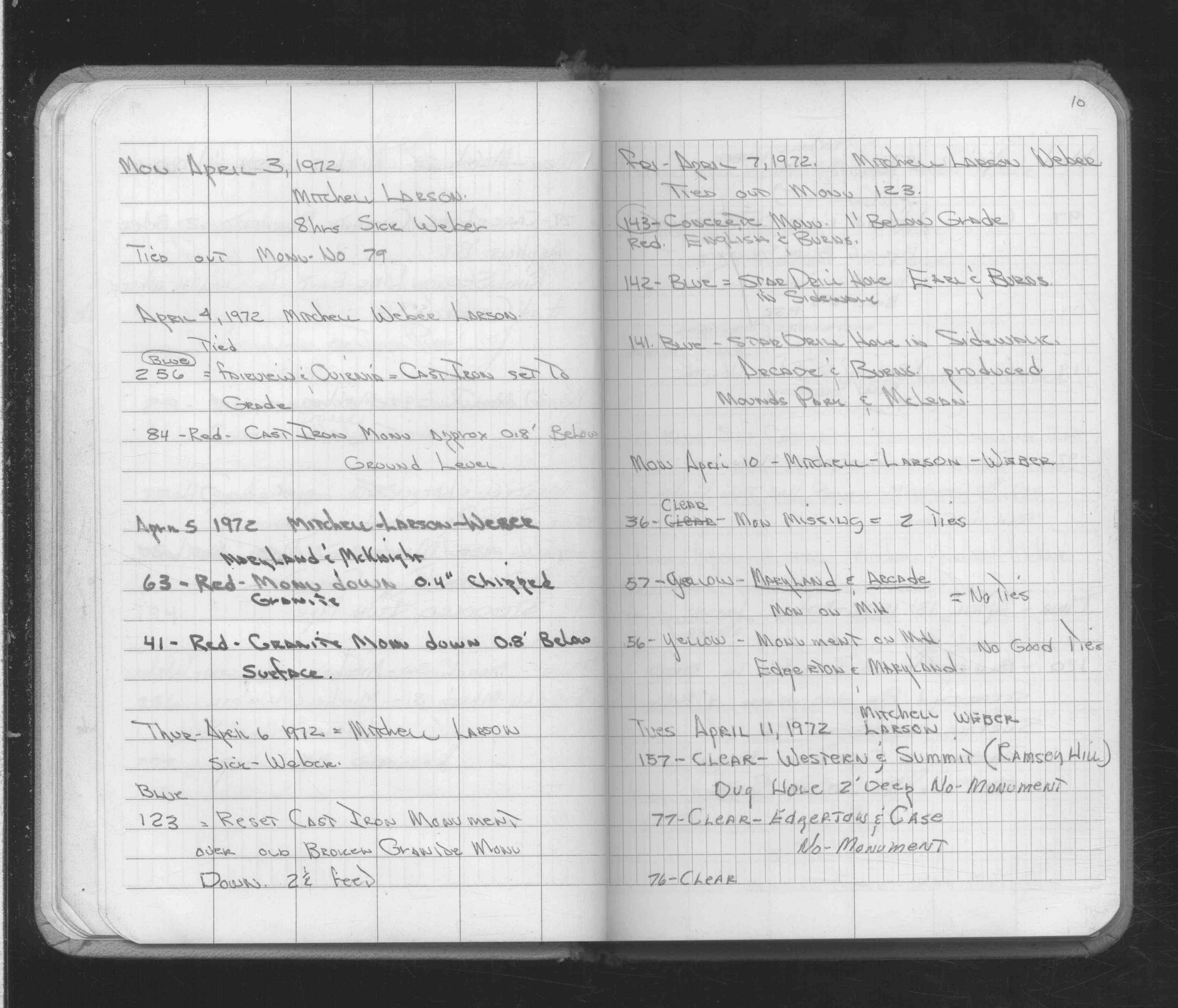
| 4/7/1972 | Fd concrete monument 1 ft below grade. See FB 1689A p.10 |
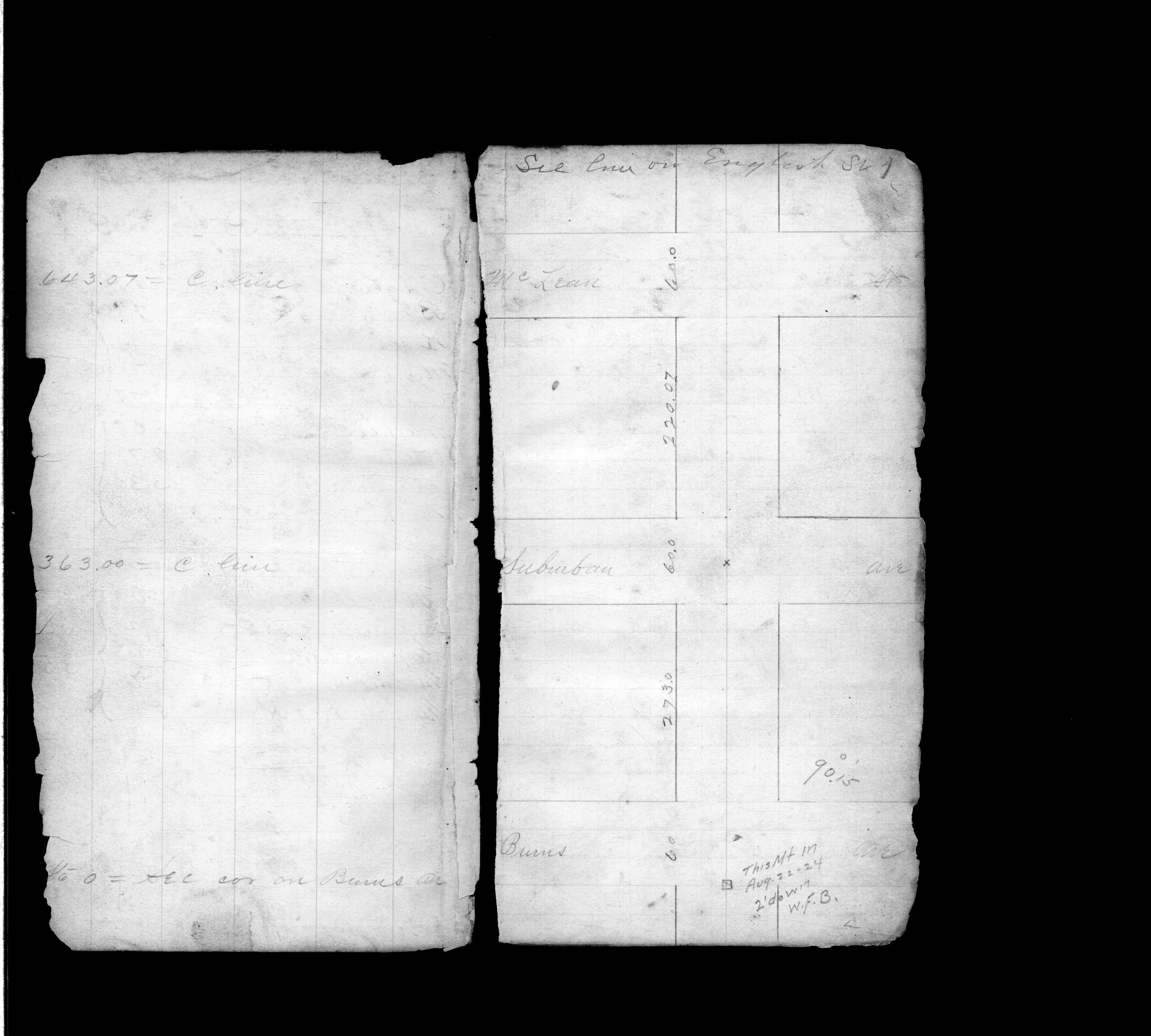
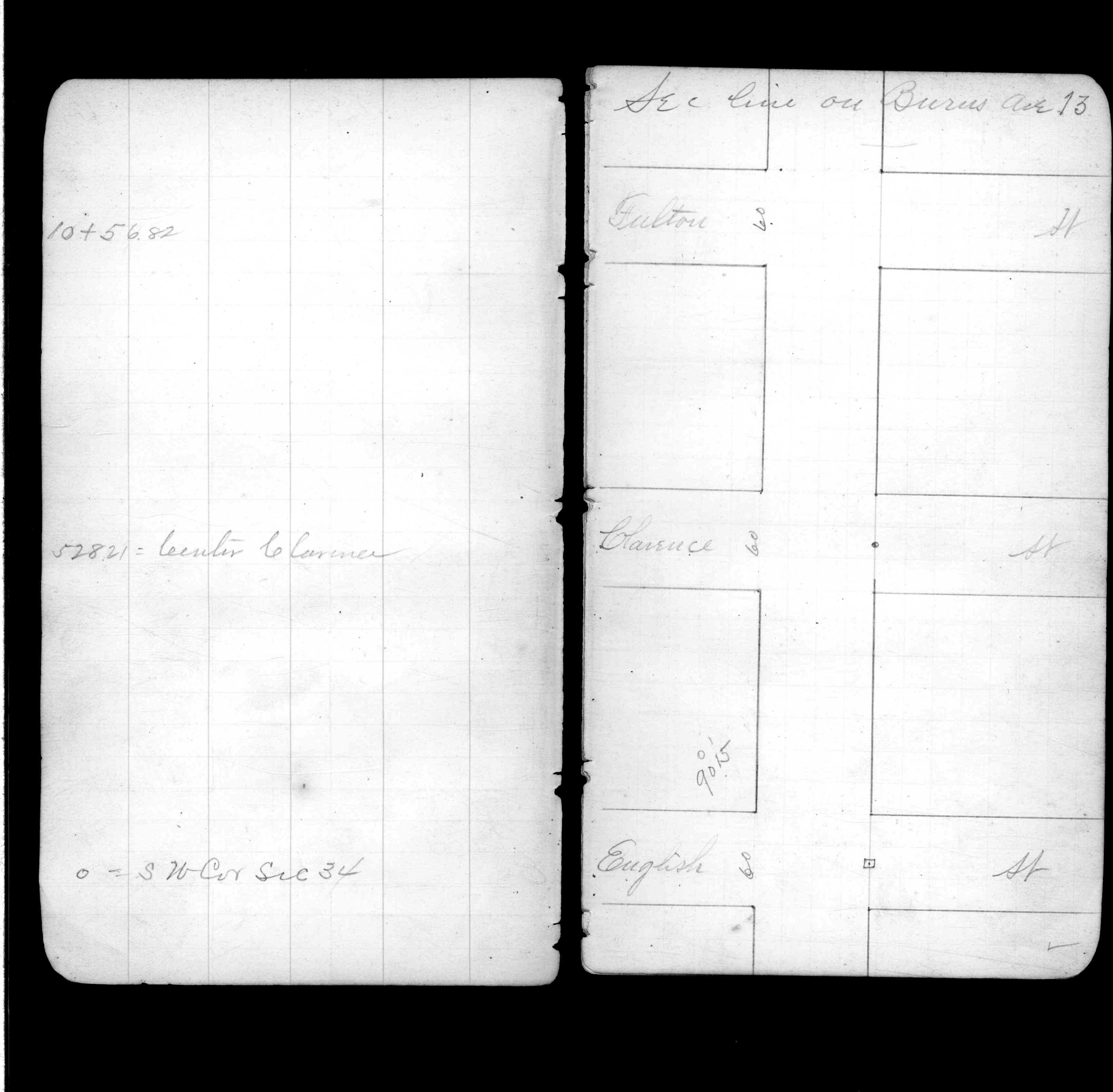
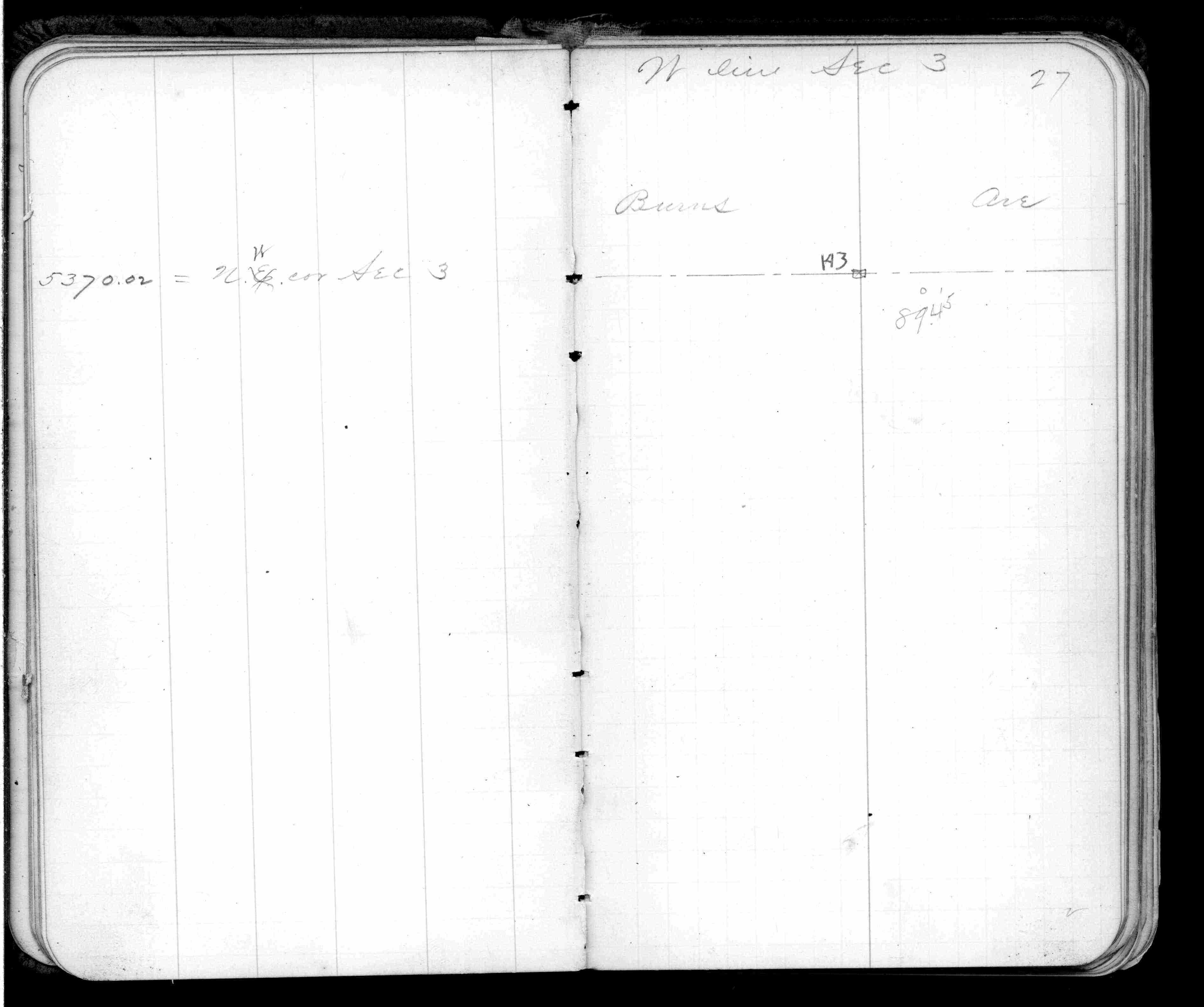
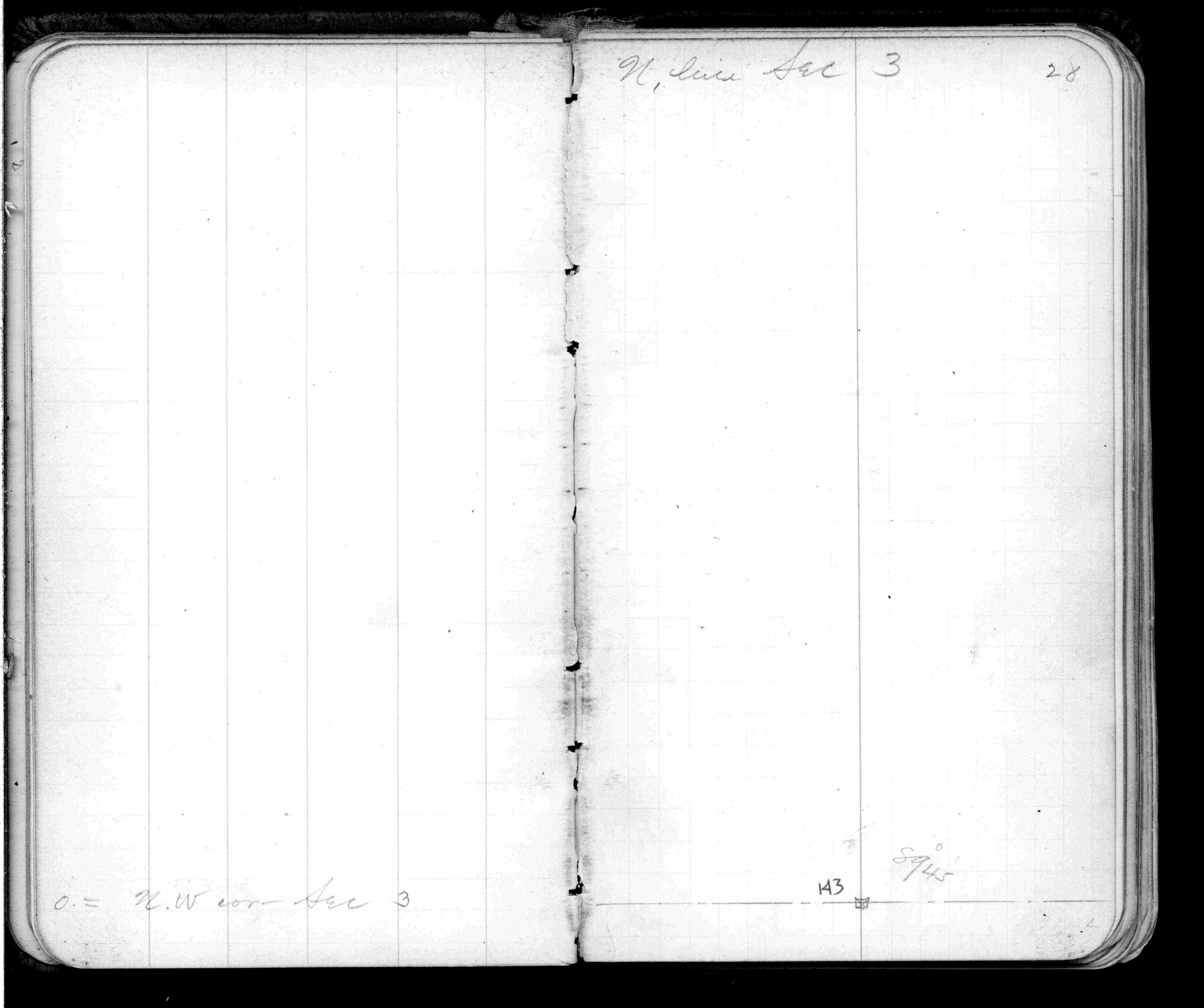
| 12/15/1888 | Monument reset after grading at center of English St & on S line Burns Ave by Chas Hunt |
| 10/6/1847 | James M Marsh deputy surveyor set post. Tied to 4 BTs. See JM p.064-065 border |
Above is NOT an all inclusive history of this point. Please review all the links below.
| PLS NOTES | Field | Cross Section | Sewer | J.B. Irvine | Monument | River Survey |
|---|---|---|---|---|---|---|
| JM p.064-065 | FB 0170p. 37 ,39 | |||||
| FB 0339p. 01 ,13 | ||||||
| FB 0342p. 27 ,28 ,63 | ||||||
| FB 0570p.40 | ||||||
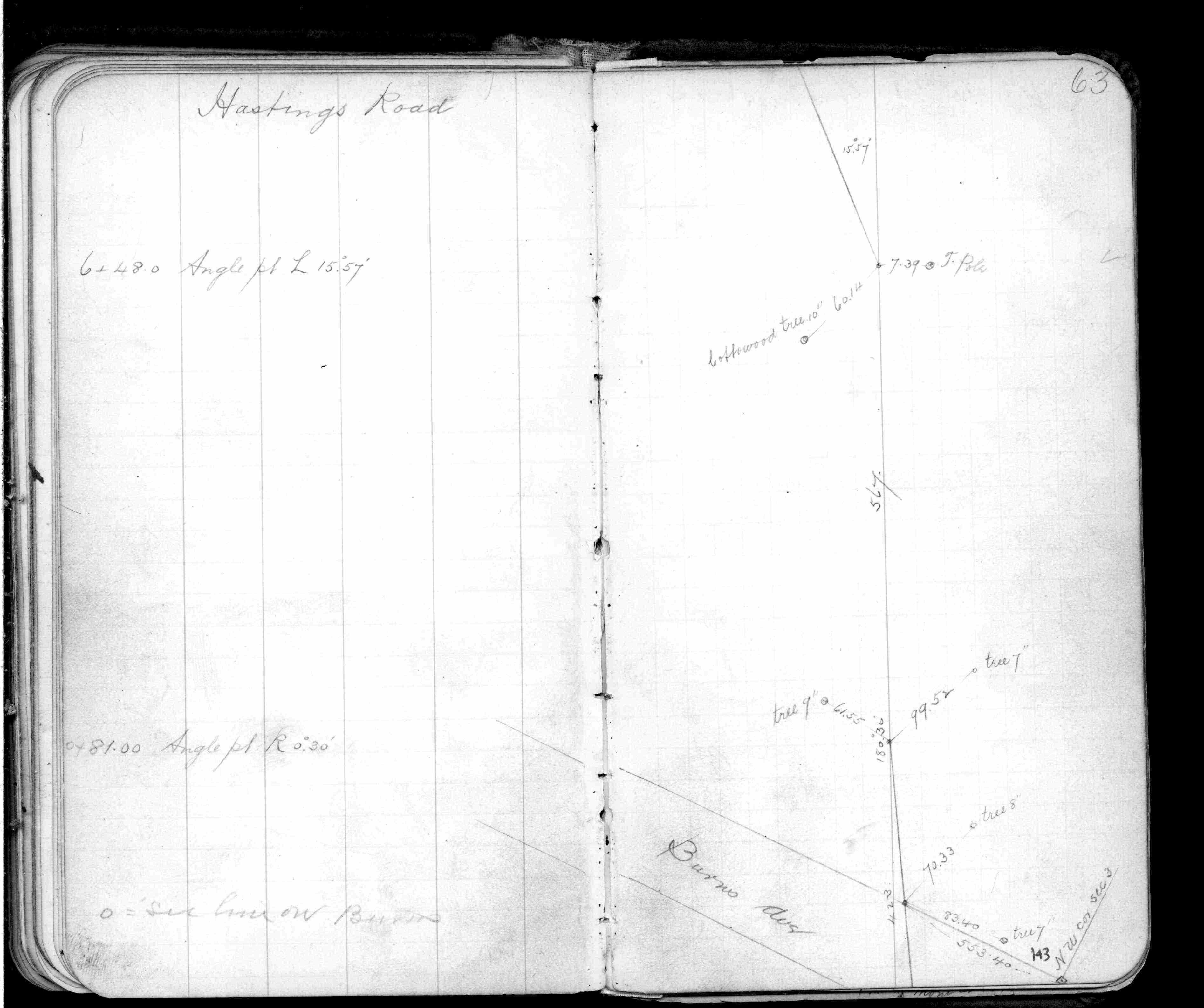
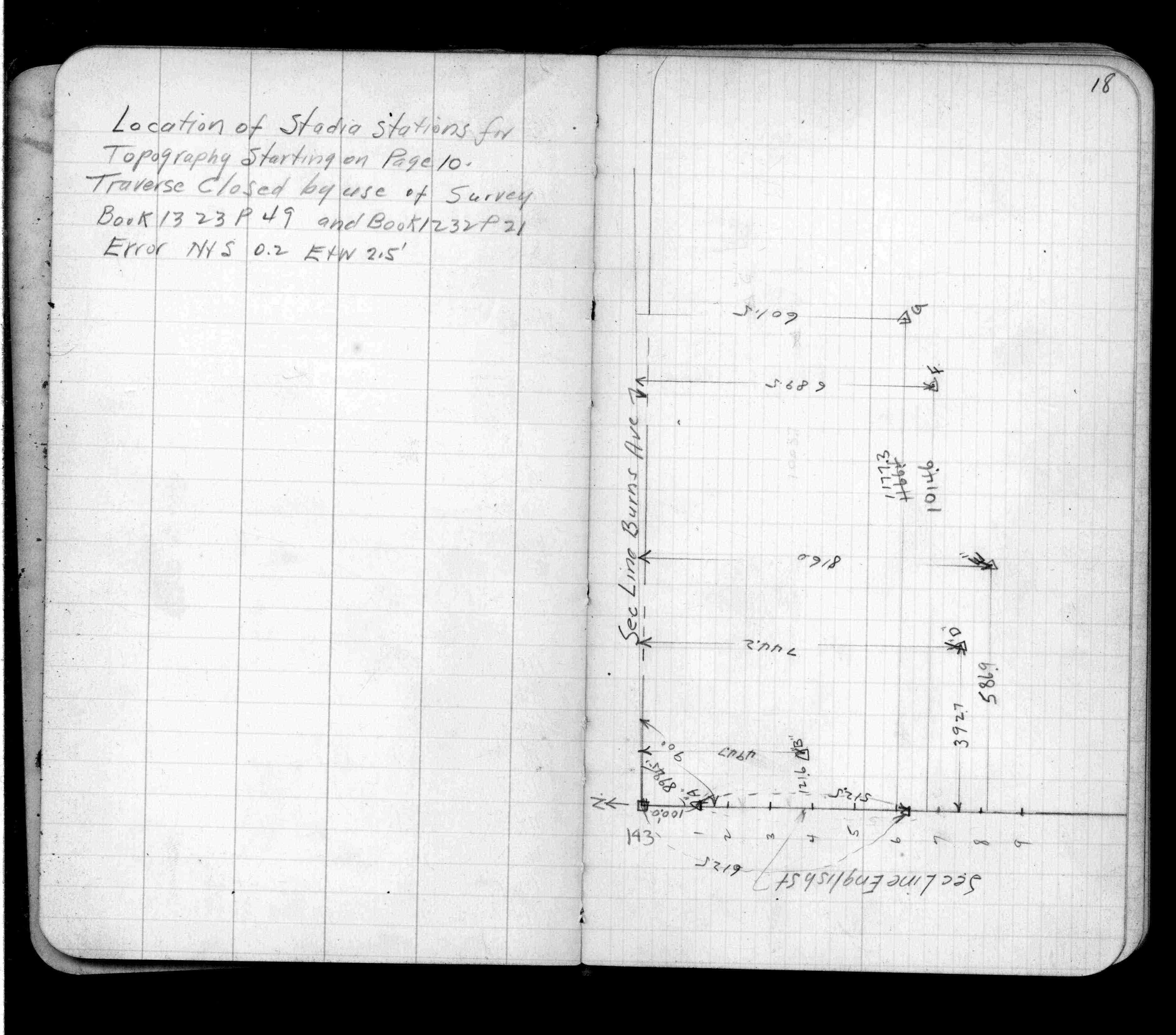
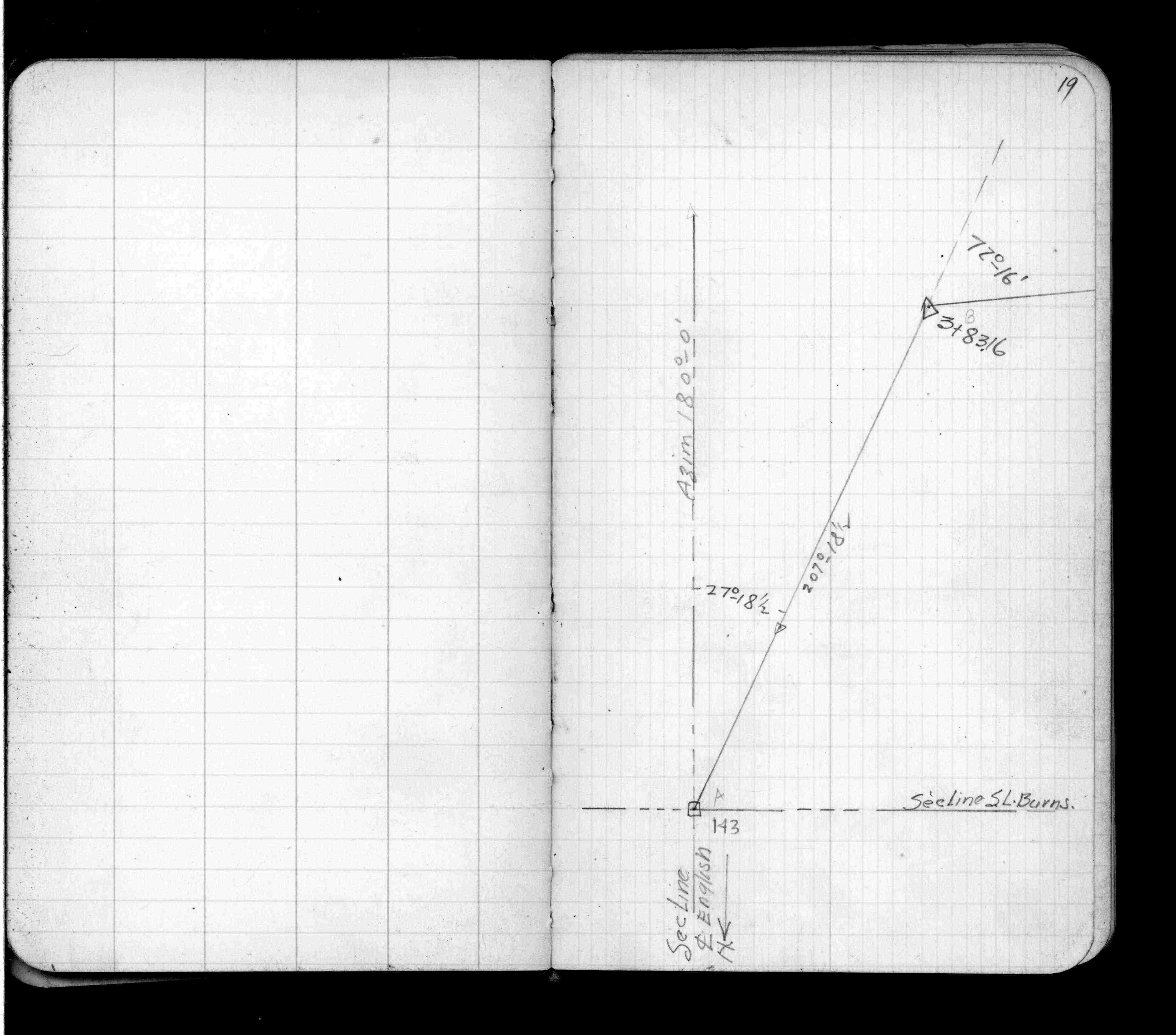
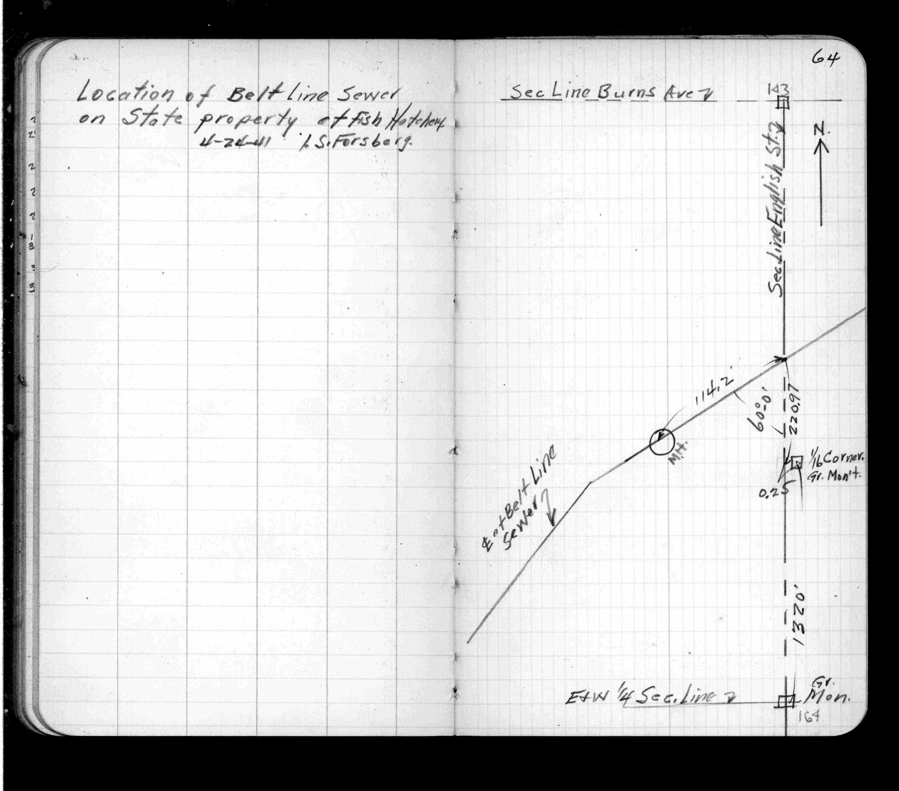
| FB 0650p. 18 ,19 ,64 | ||||||
| FB 0750p.01 | ||||||
| FB 0750Ap.01 | ||||||
| FB 0819p.47 | ||||||
| FB 1014p.01 | ||||||
| FB 1232p.21 | ||||||
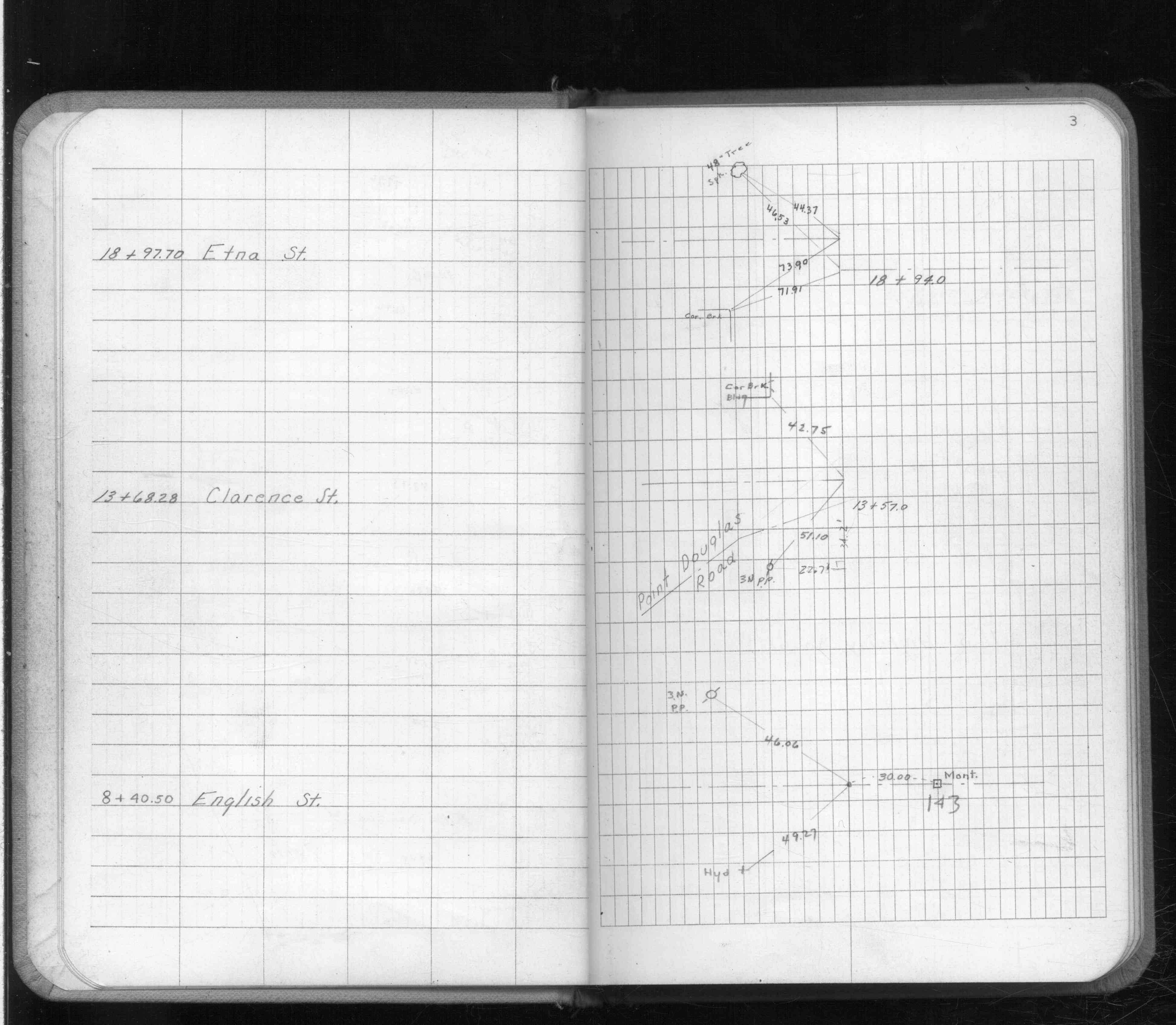
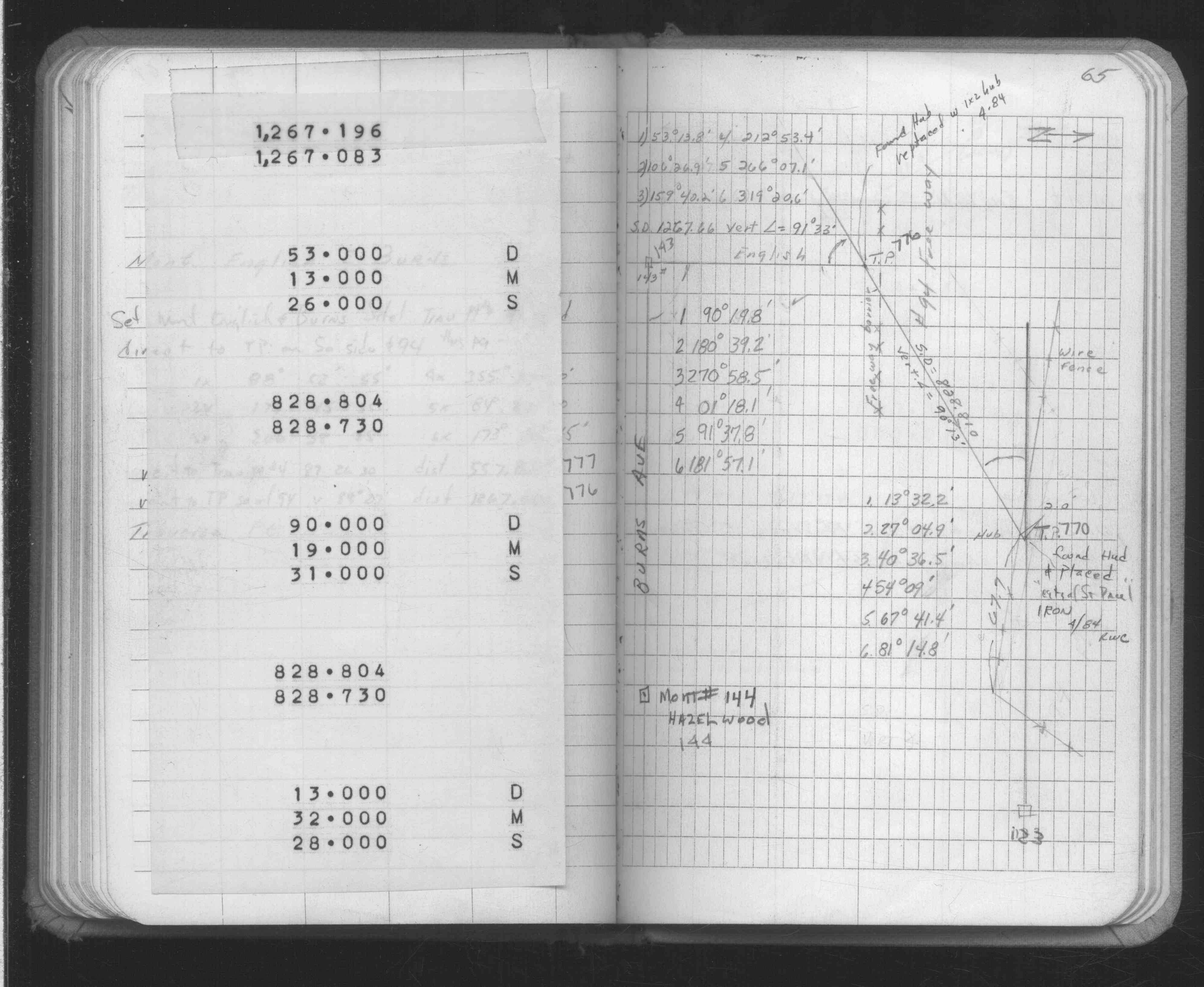
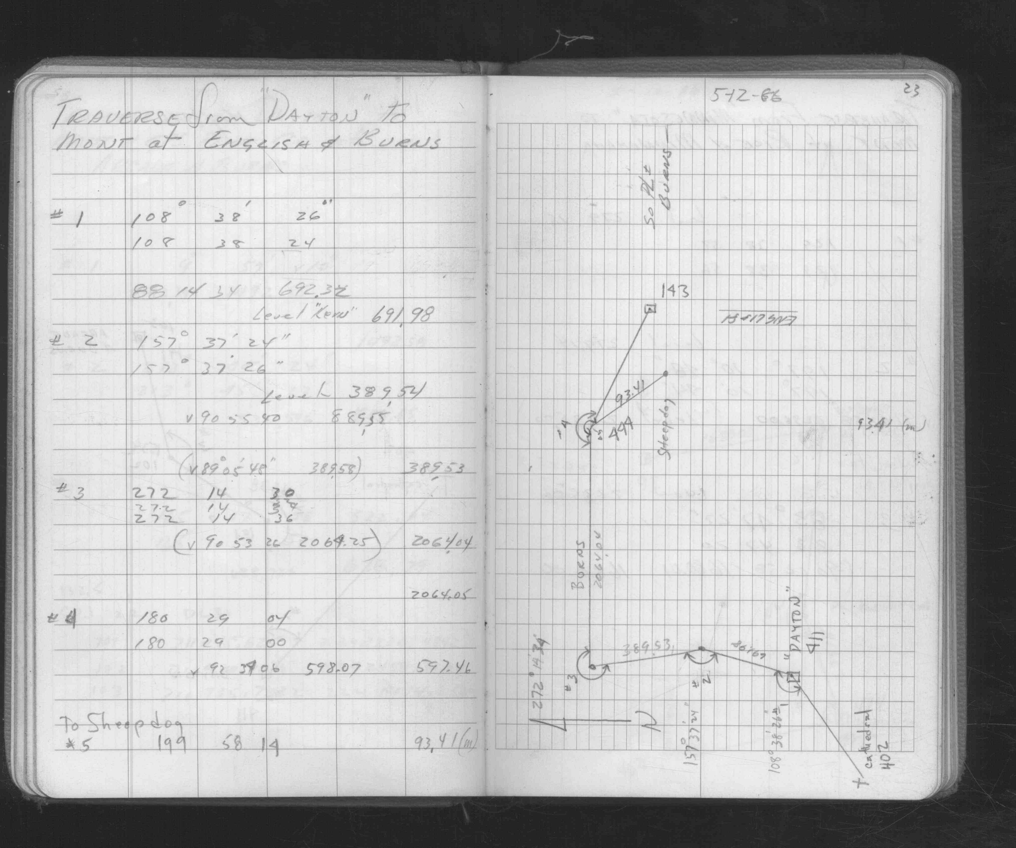
| FB 1267p.08 | ||||||
| FB 1301p.34 | ||||||
| FB 1304p. 25 ,41 | ||||||
| FB 1320p.47 | ||||||
| FB 1342Ap.77 | ||||||
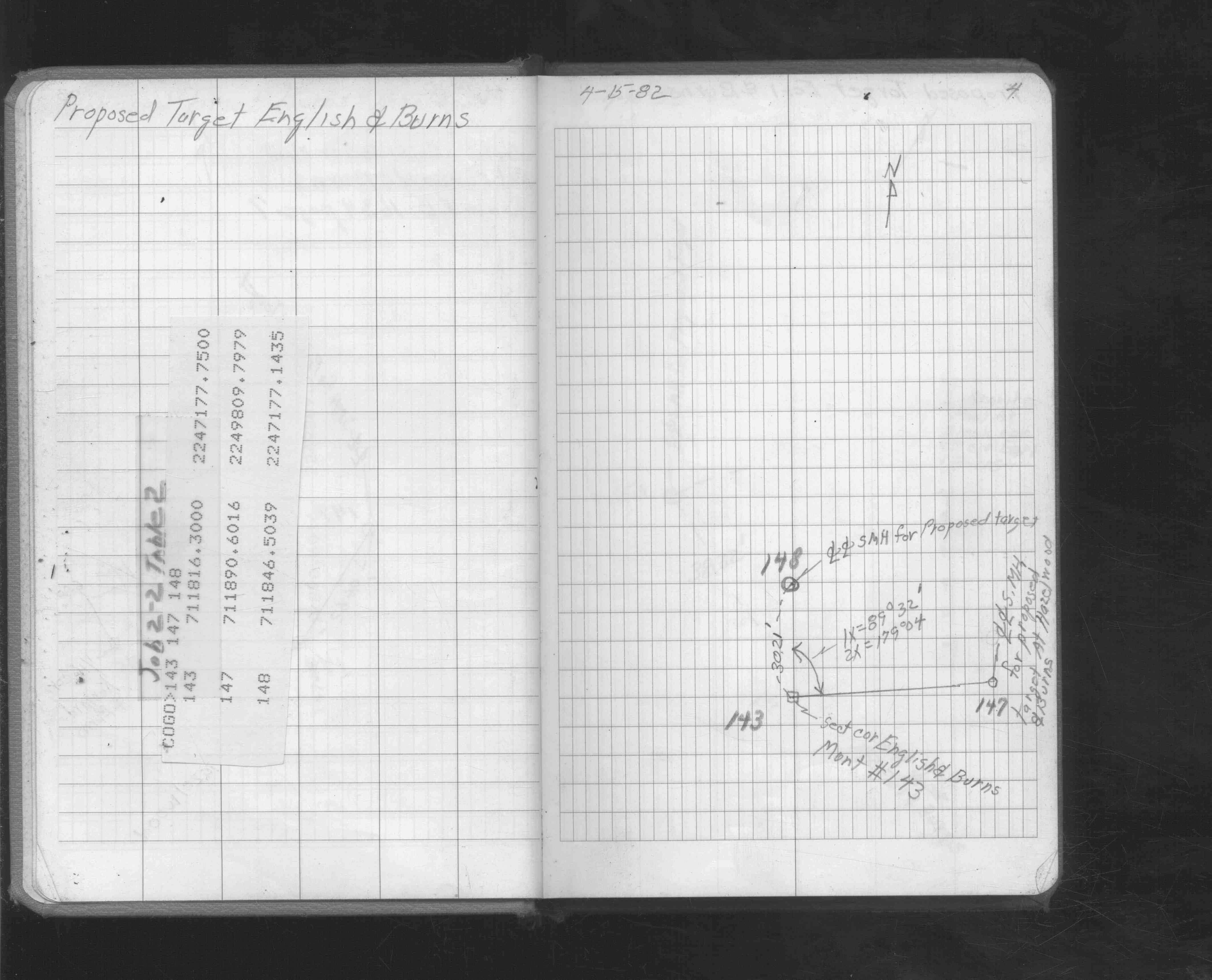
| FB 1421p. 01 ,42 | ||||||
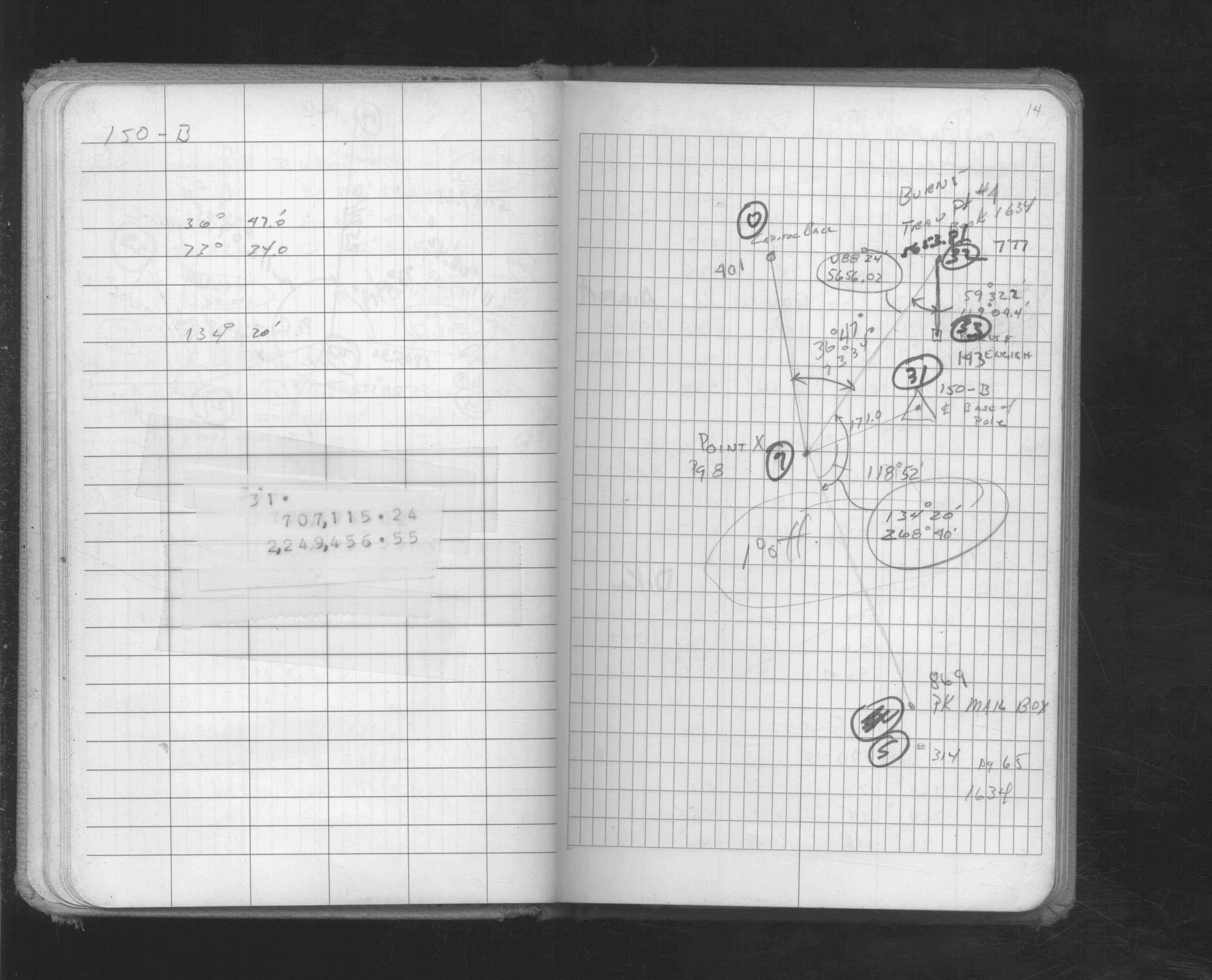
| FB 1549Ip.14 | ||||||
| FB 1549Jp.04 | ||||||
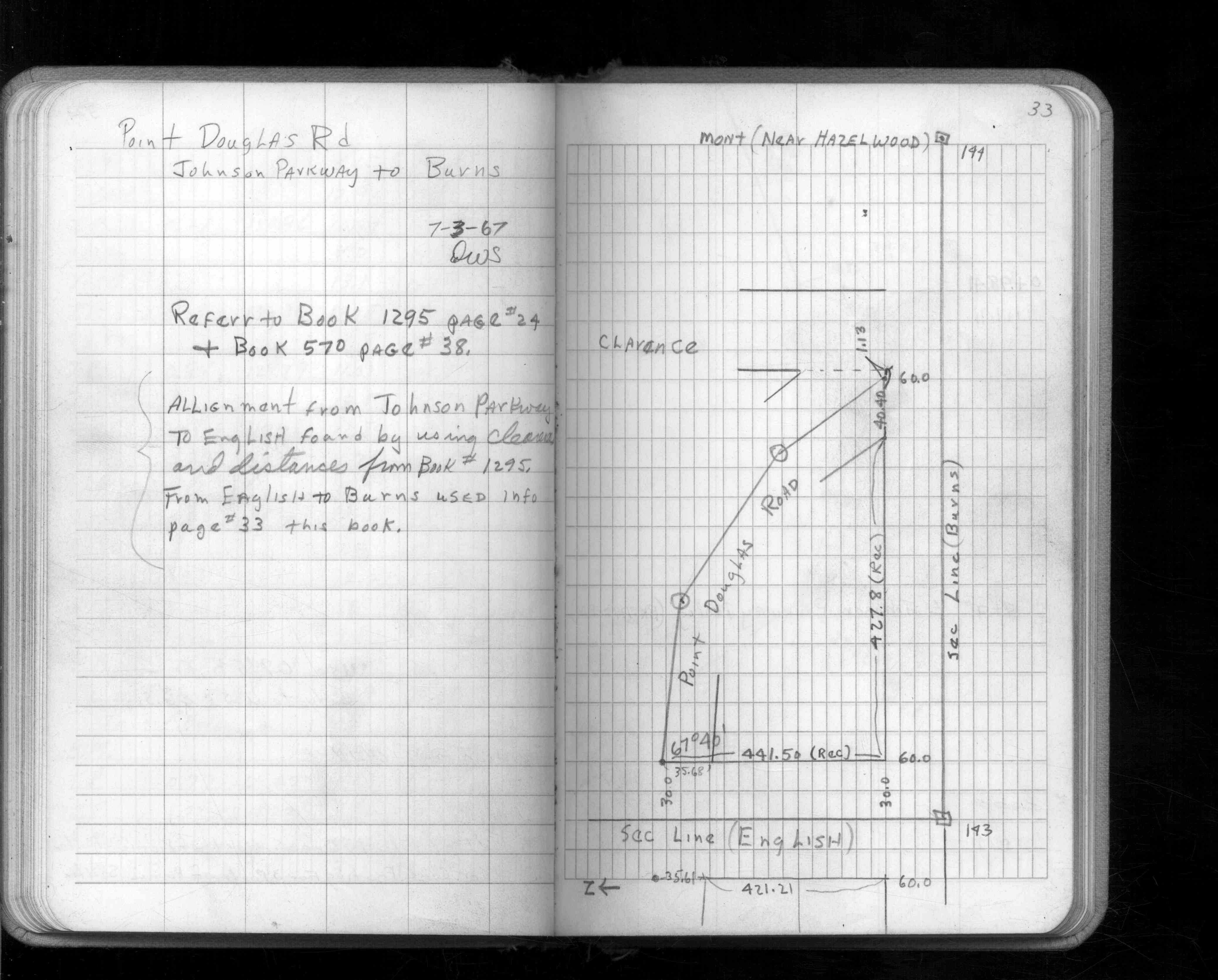
| FB 1561p.33 | ||||||
| FB 1588p. 03 ,11 | ||||||
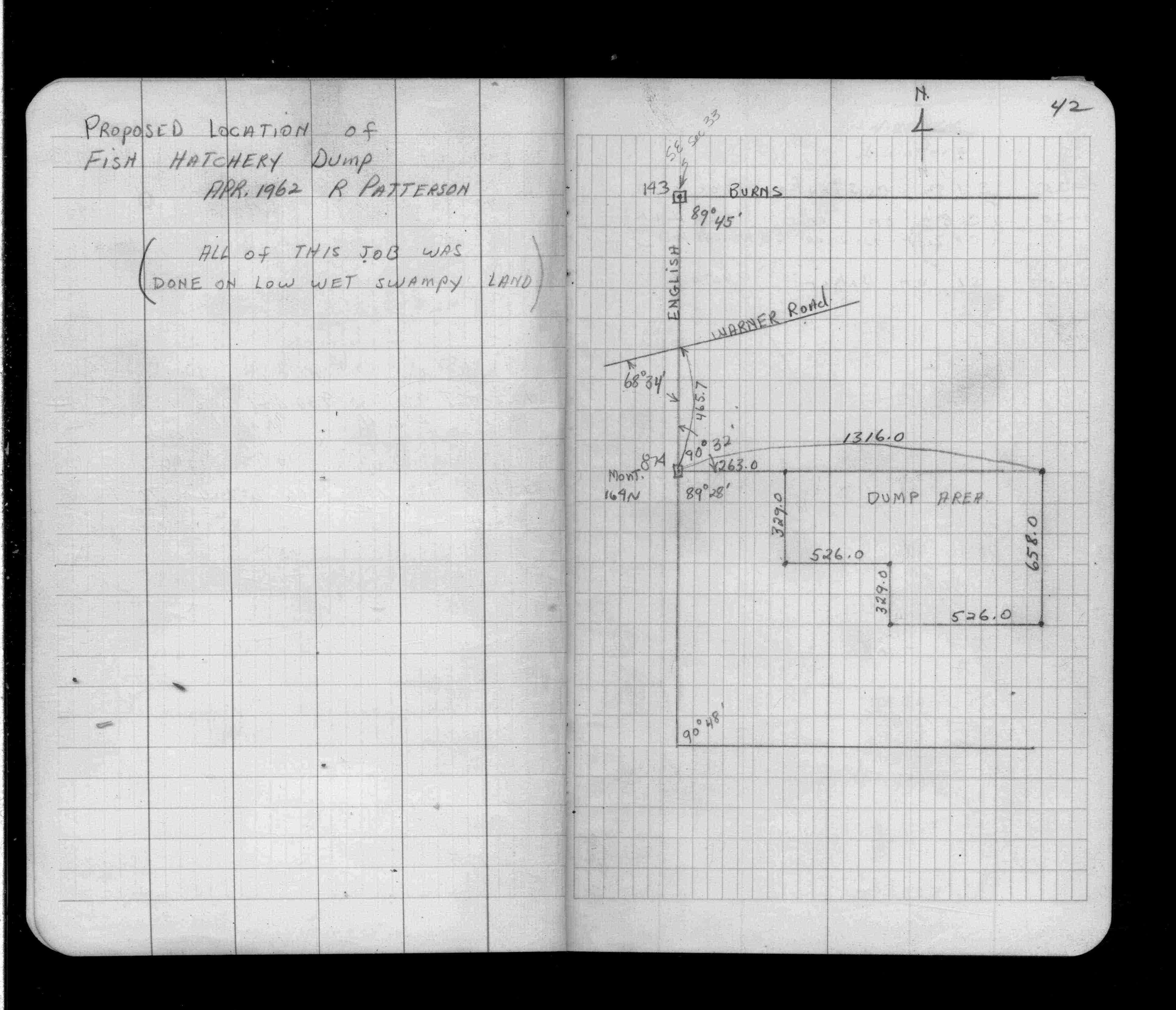
| FB 1634Bp.65 | ||||||
| FB 1676Bp.23 | ||||||
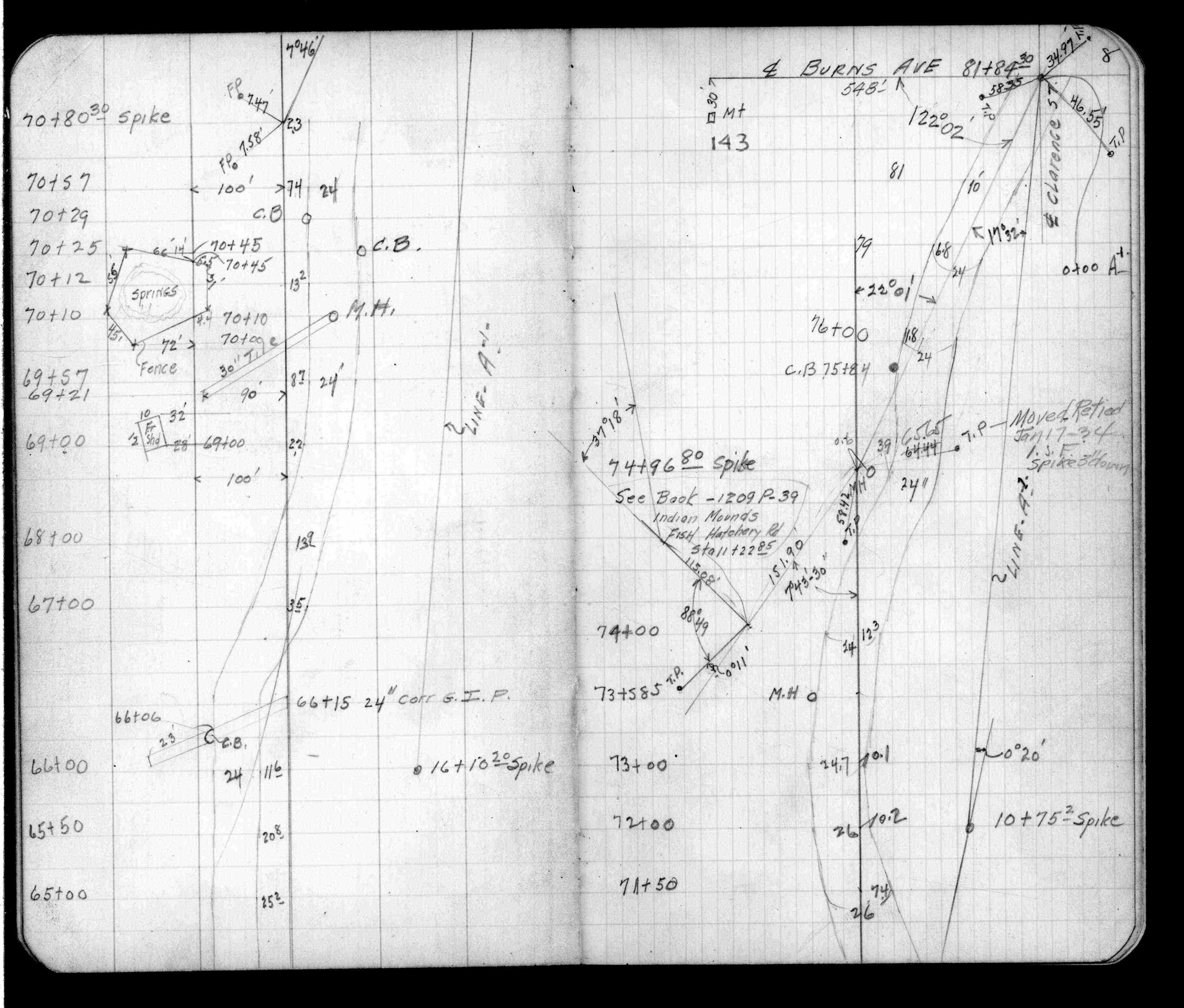
| FB 1689Ap.10 | ||||||
| FB 1708Ap.16 | ||||||
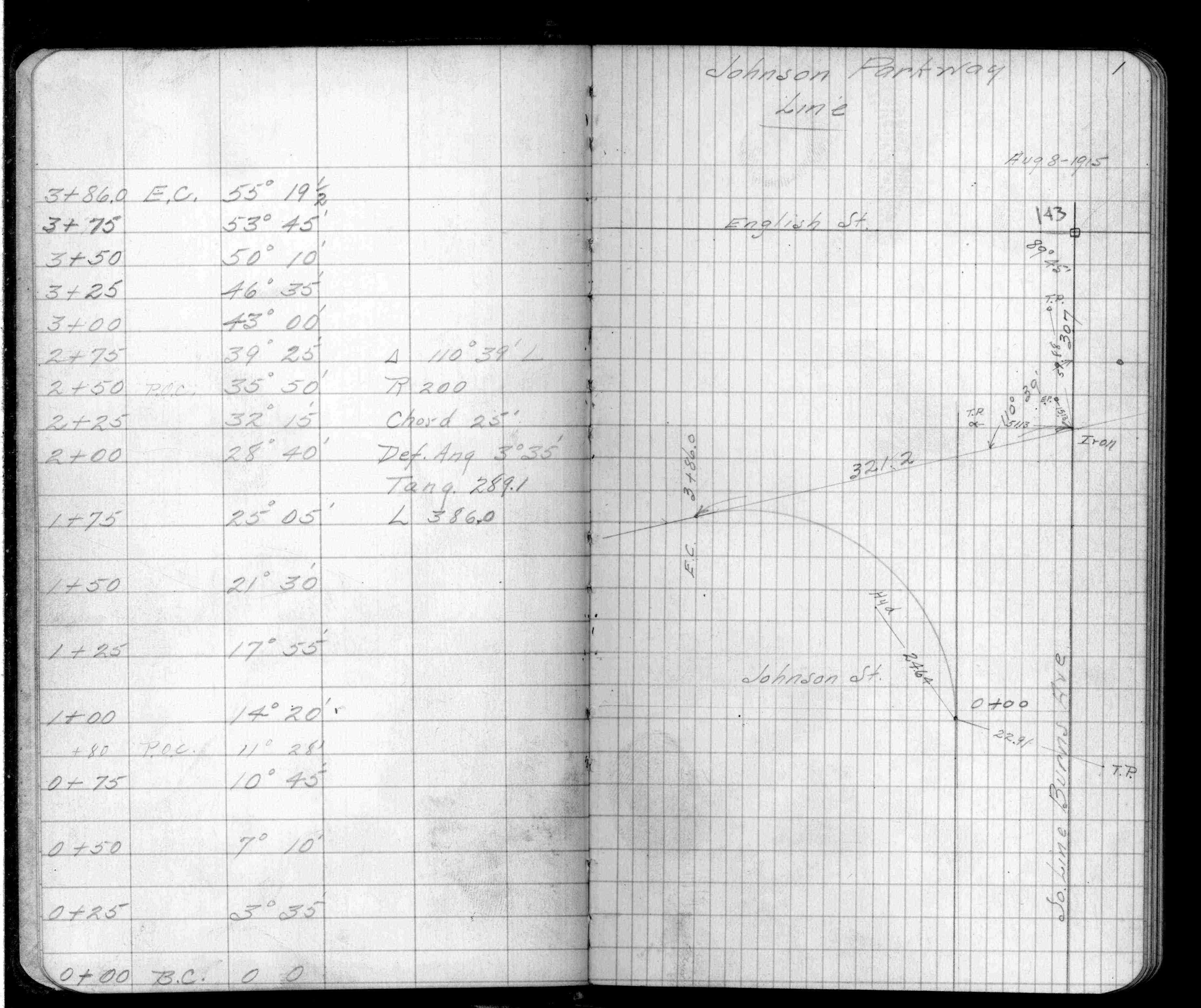
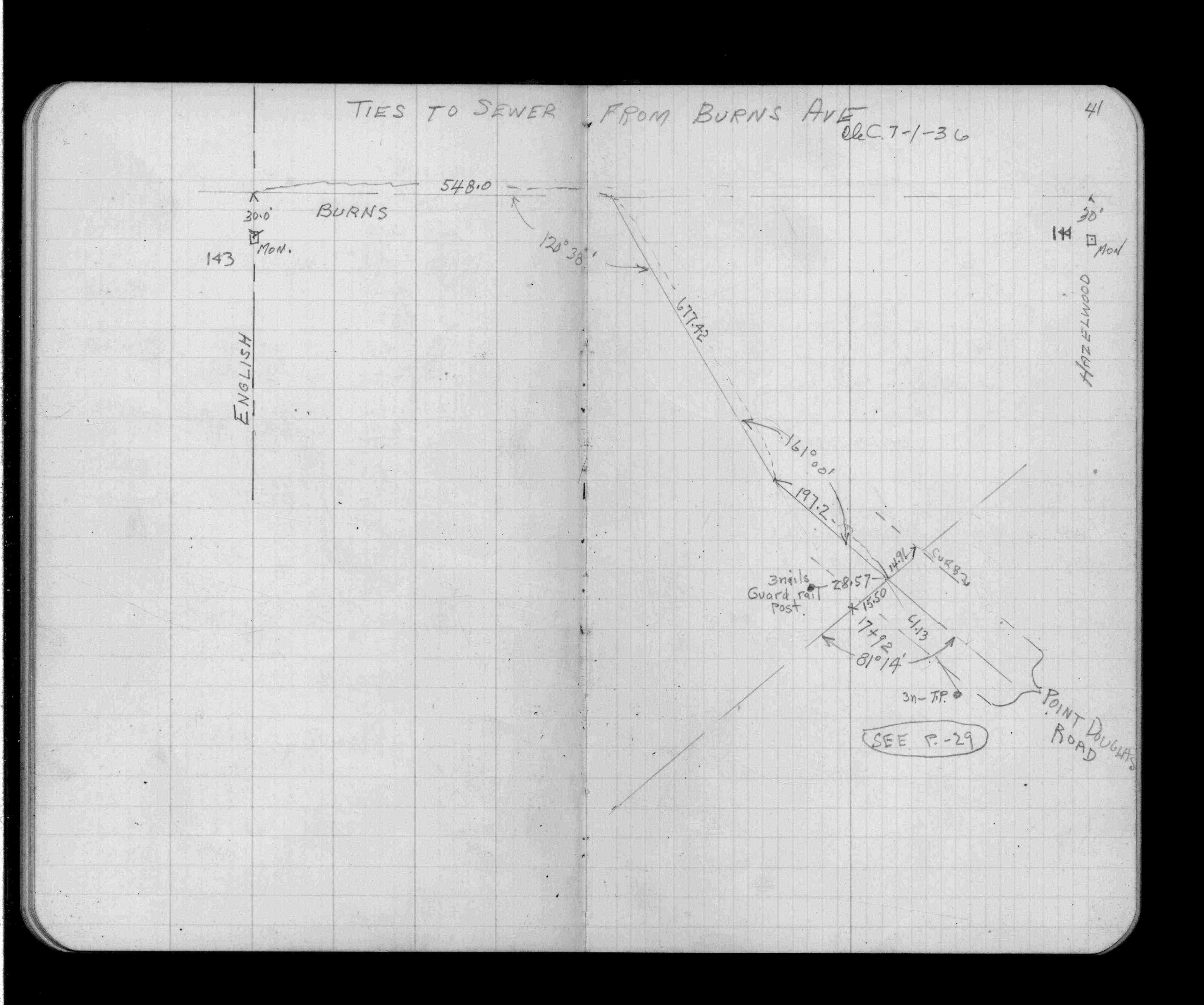
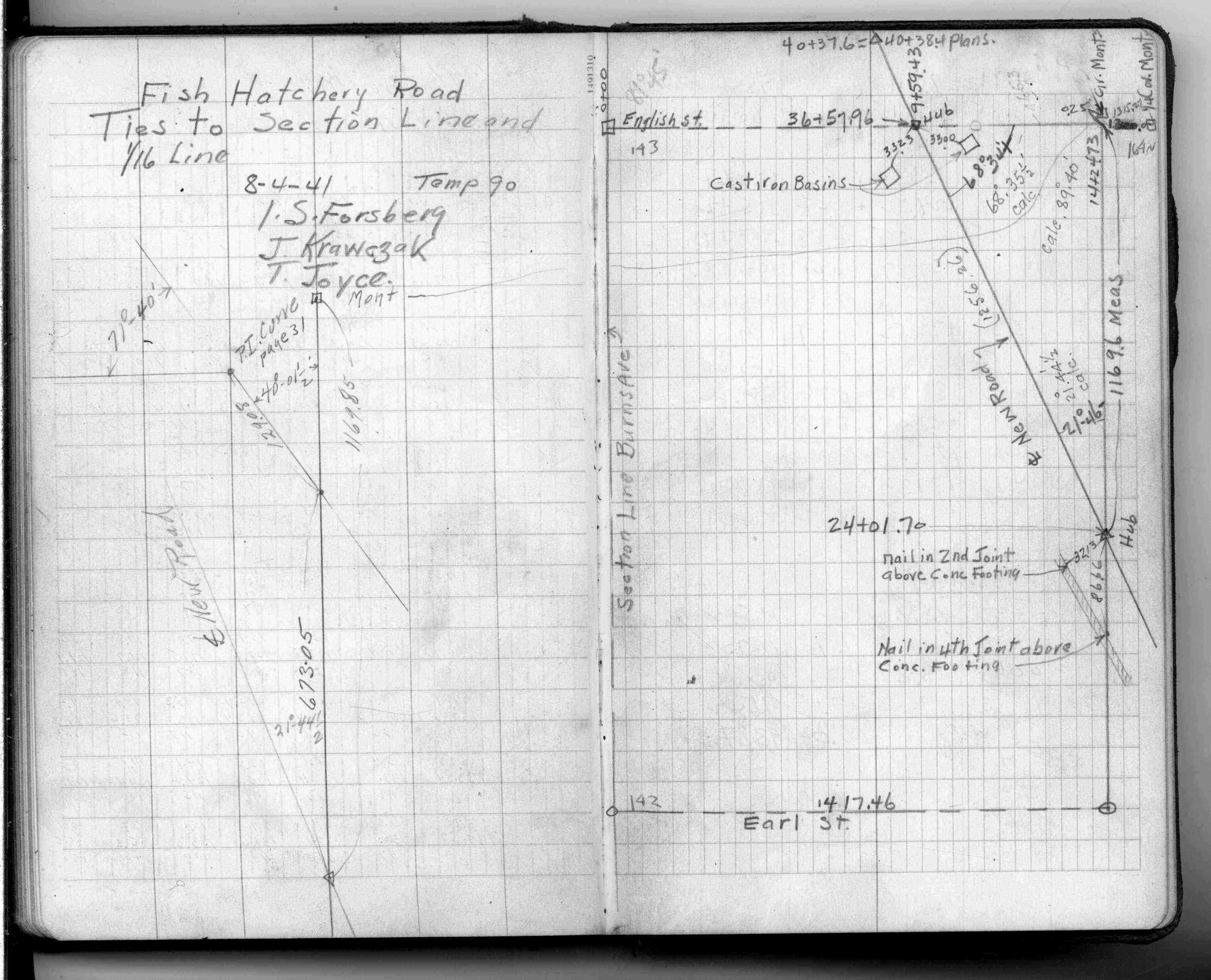
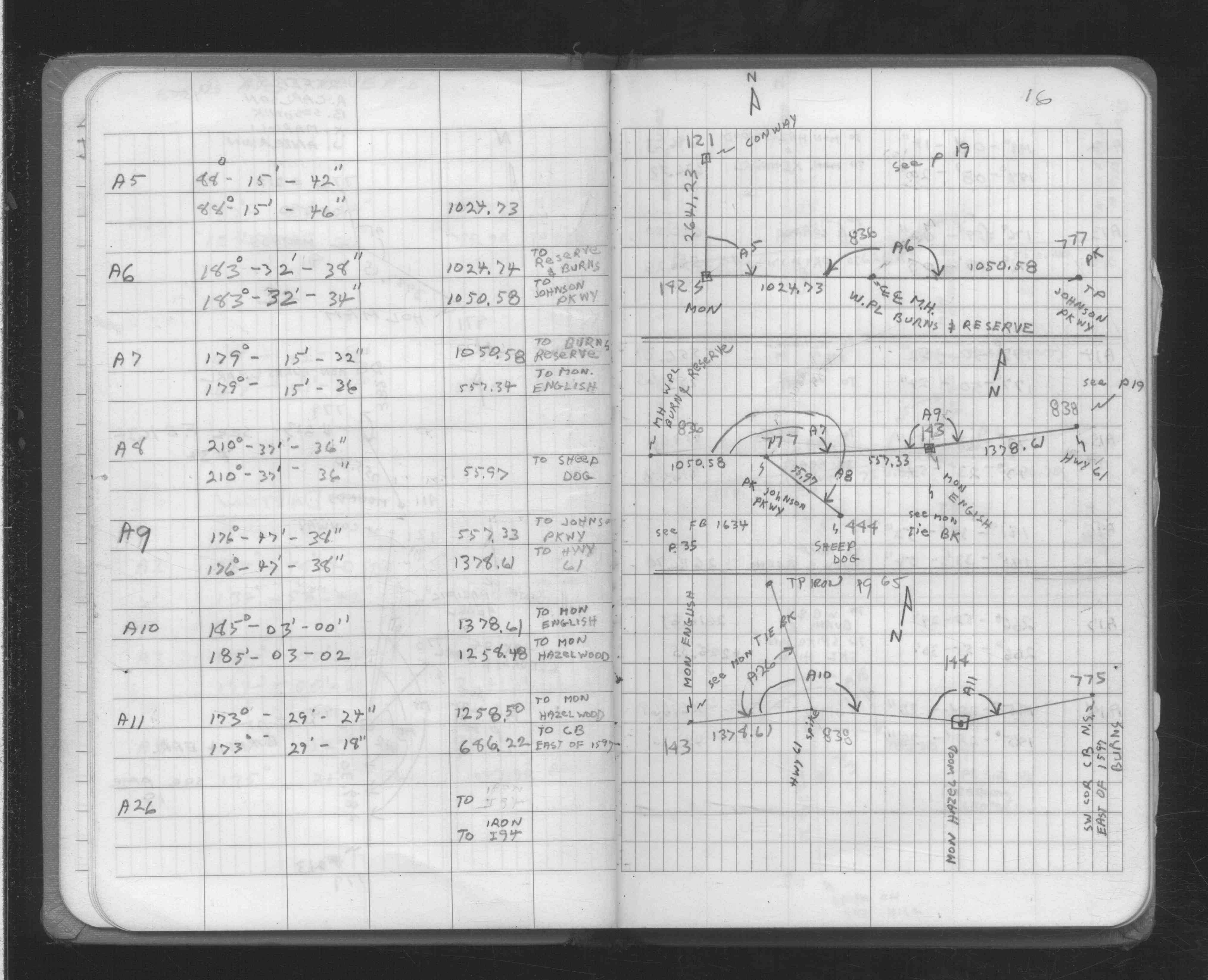
| FB 1734Ap.76 | ||||||
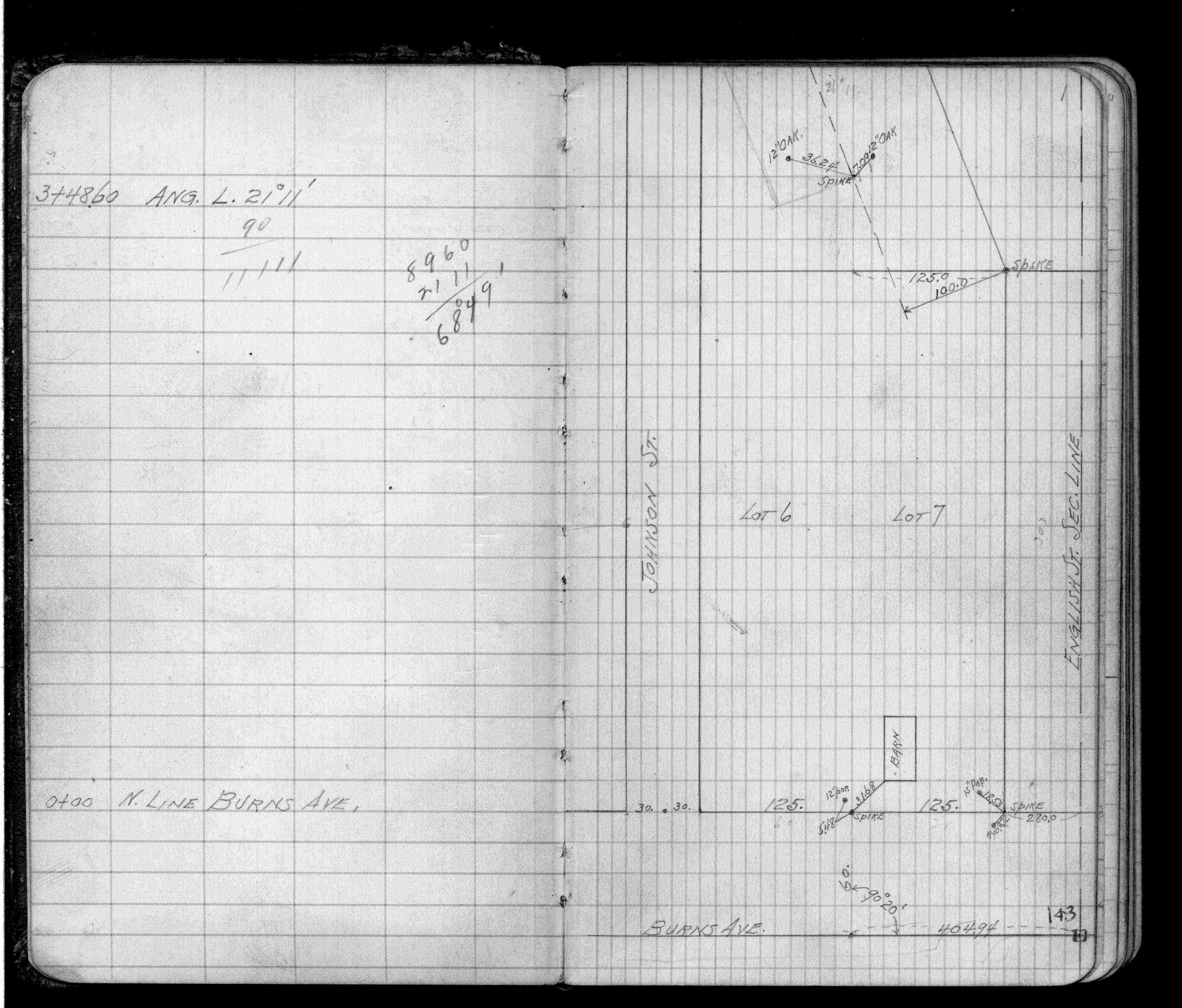
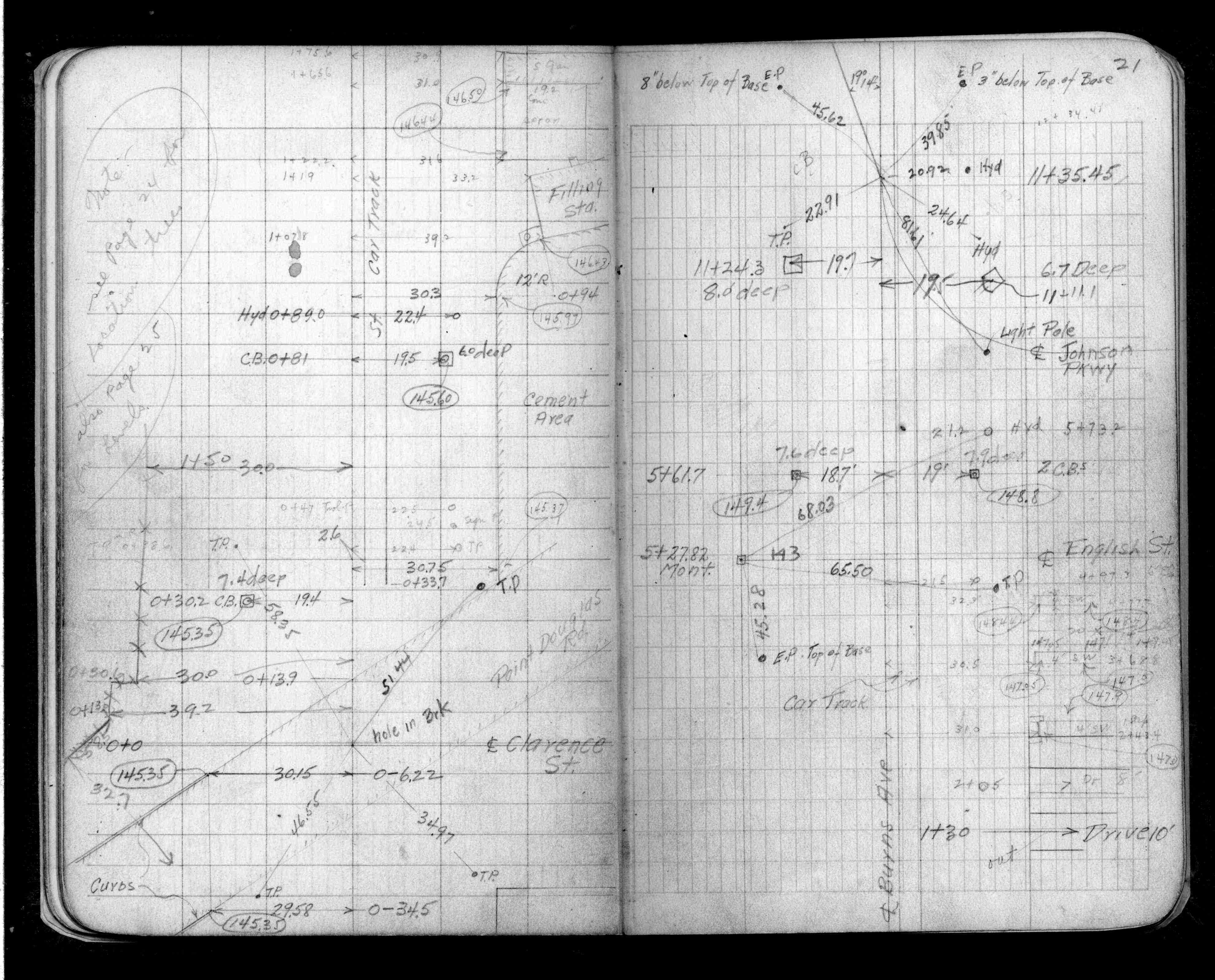
| FB 1736p.34 |
| FILE | SURVEYOR | LIC. NO. | DATE SIGNED | DATE TIED |
|---|---|---|---|---|
| 0143-0115-A.tif | Richard C. Person | 23300 | December 28, 1995 | December 13, 1995 |
| ST_079-156p143.jpg | none | none | none | none |
| 0143-0115-A.dwf | none | none | none | none |
| FILE | PHOTO DATE | COMMENTS |
|---|---|---|
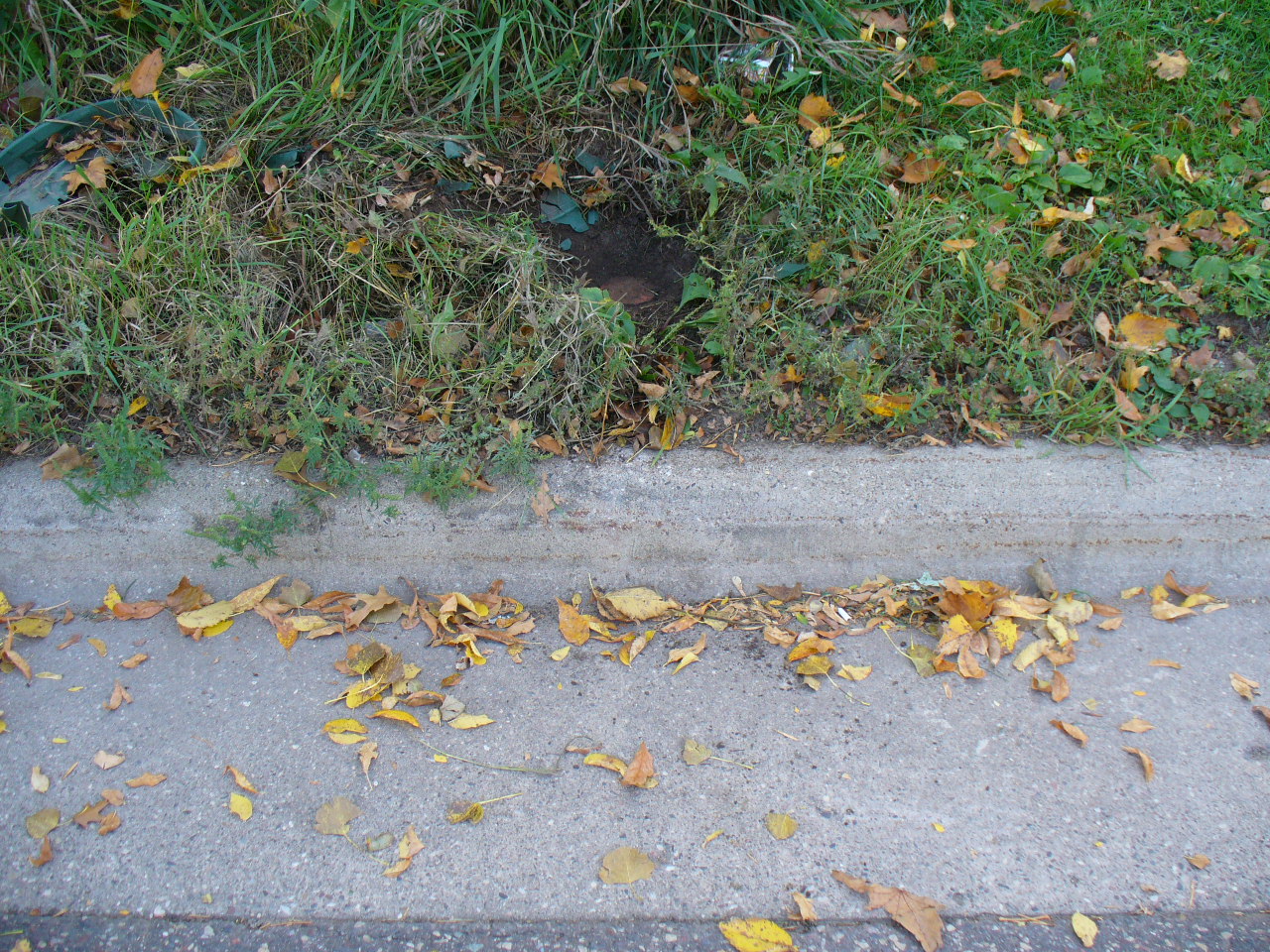
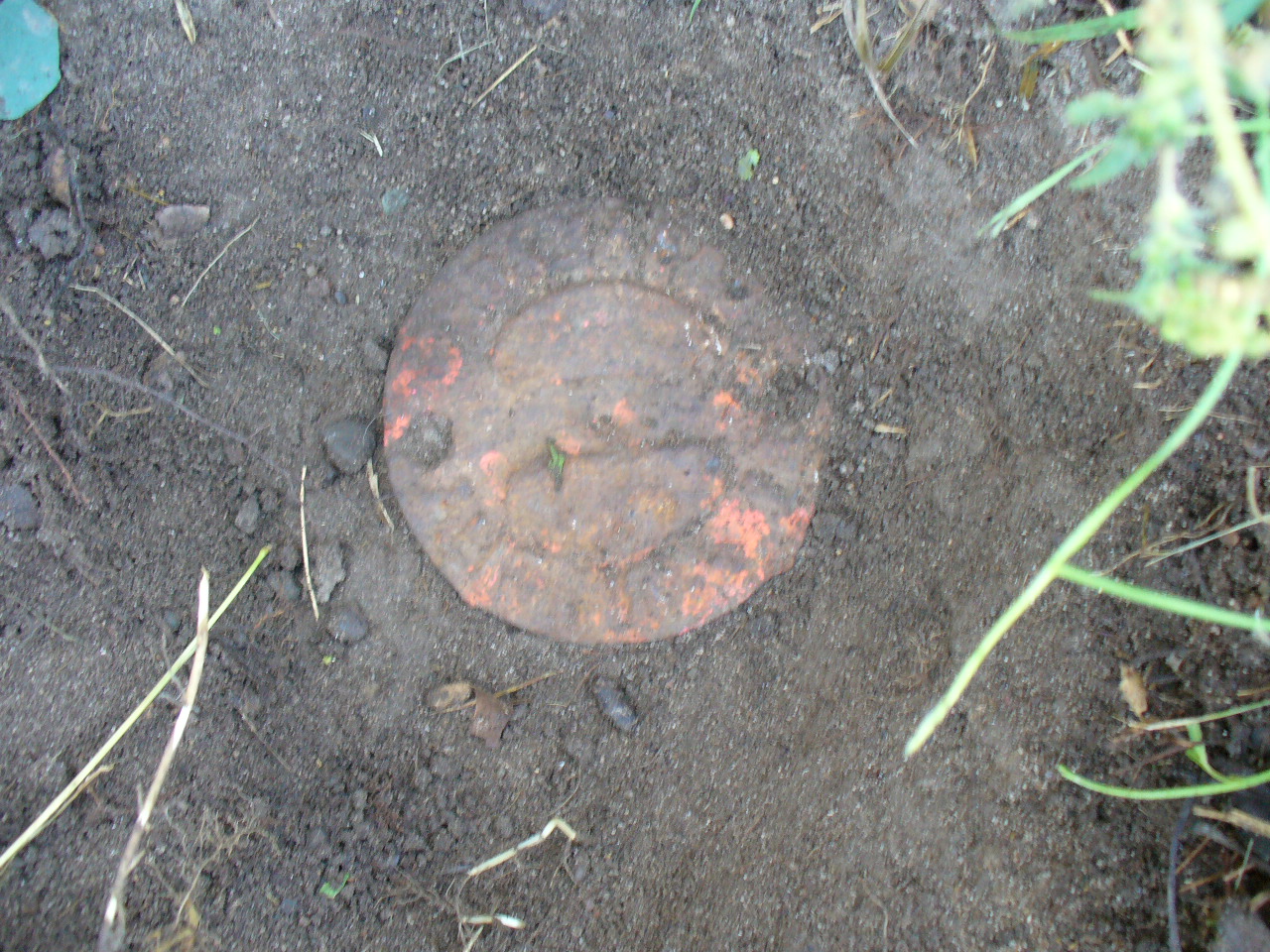
| 0143-0115-9.jpg | October 6, 2006 | Close-up of the CIM behind the South curb of Burns Ave. |
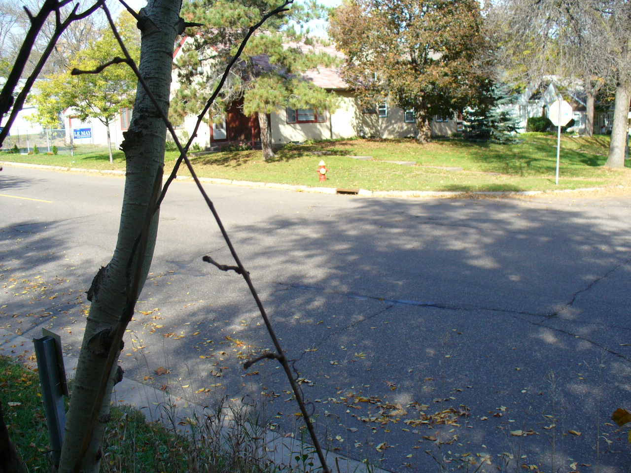
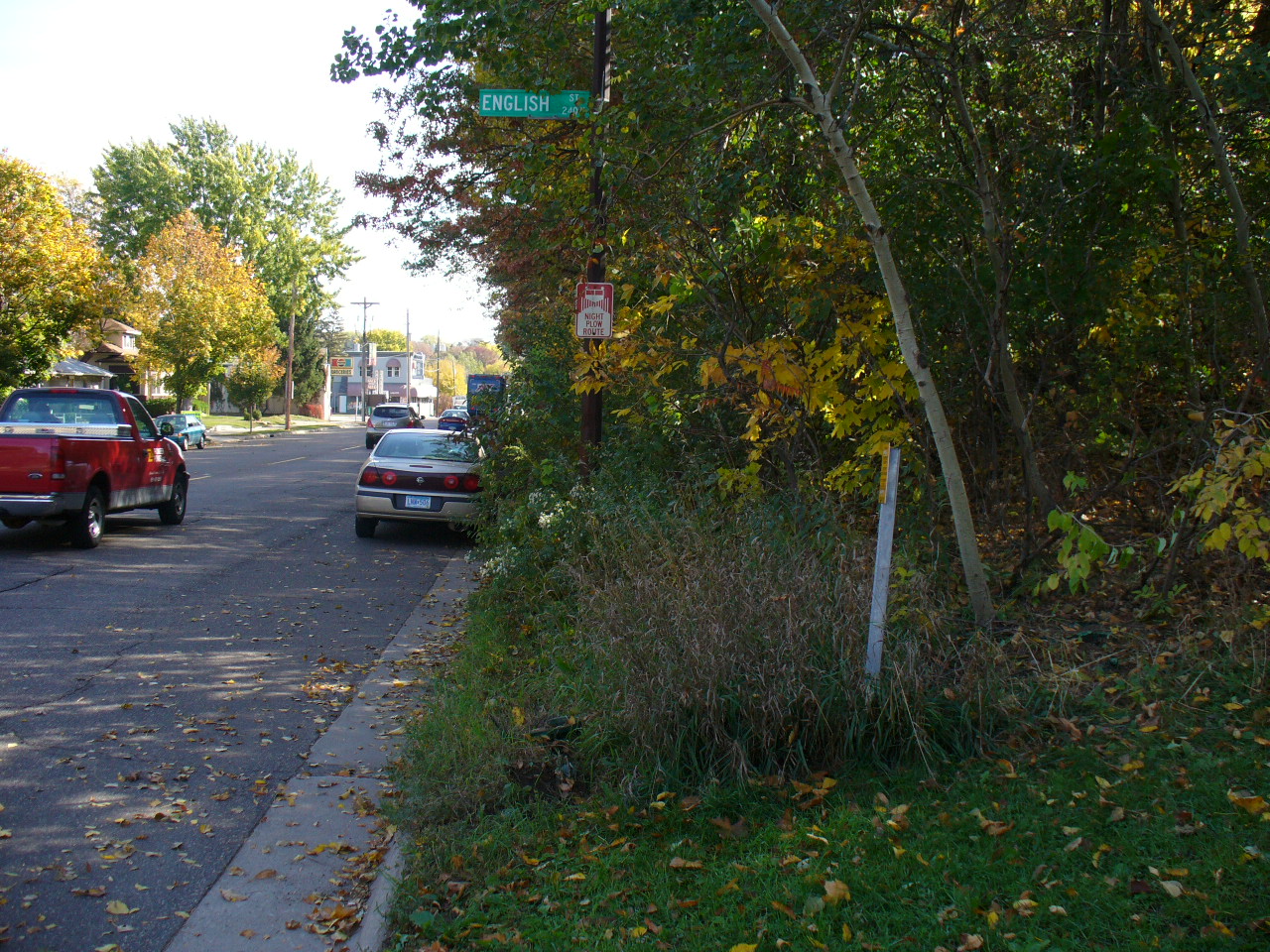
| 0143-0115-8.jpg | October 6, 2006 | Looking Northwesterly from the South side of Burns Ave. |
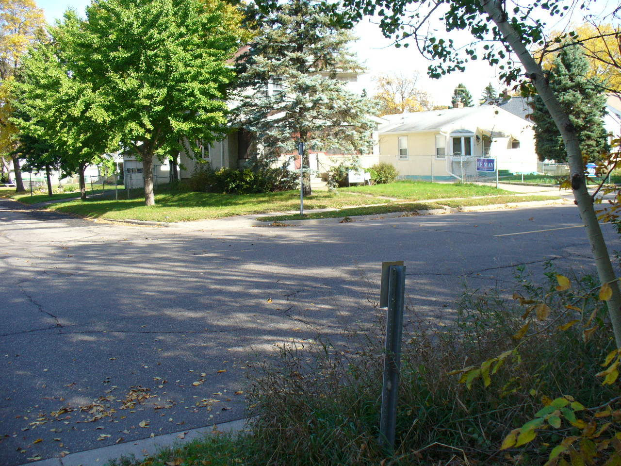
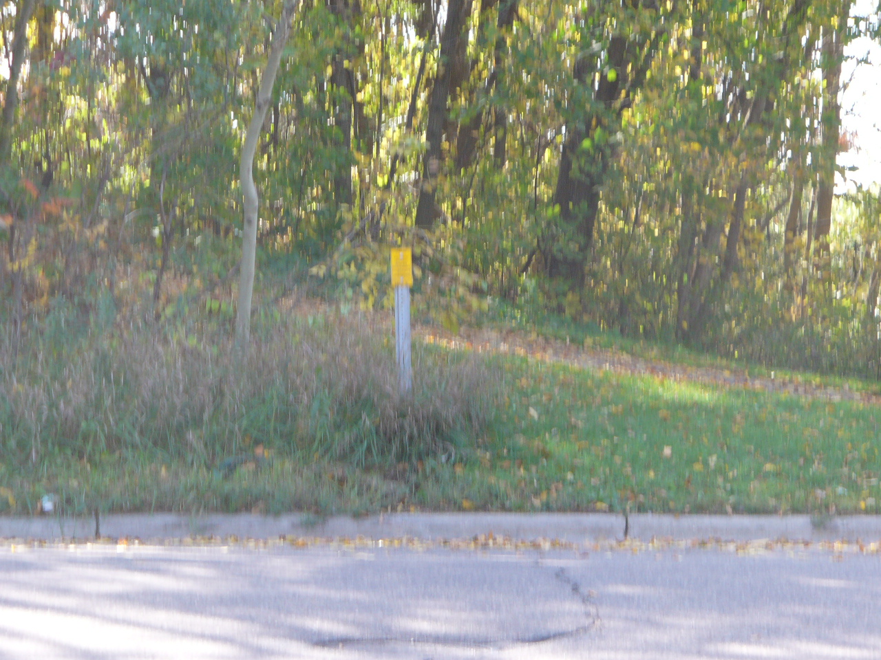
| 0143-0115-6.jpg | October 6, 2006 | Looking Northeasterly from the South side of Burns Ave. |
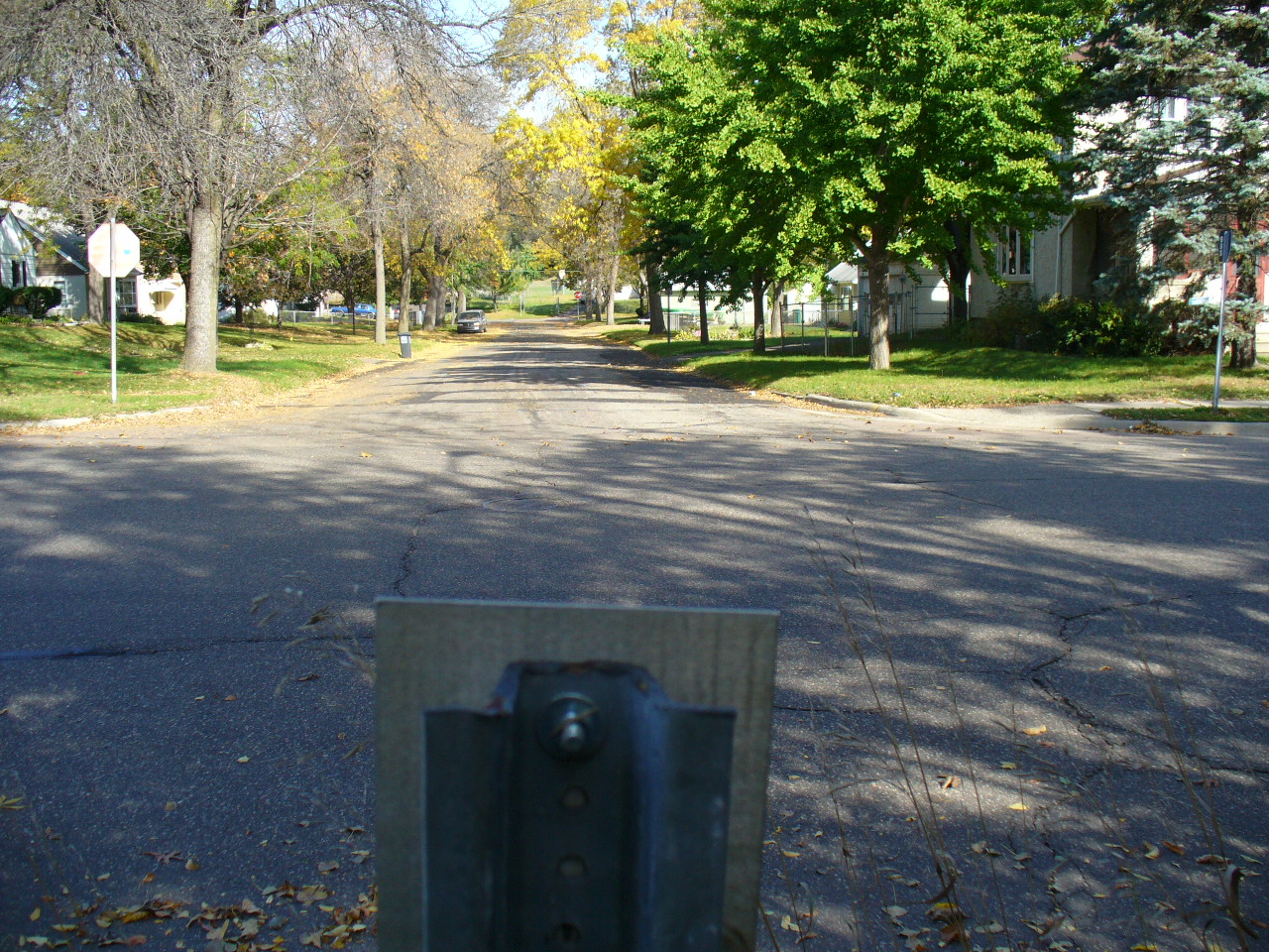
| 0143-0115-5.jpg | October 6, 2006 | Looking South along the center of Enlish St. towards Burns Ave. |
| 0143-0115-4.jpg | October 6, 2006 | Looking South along the center of Enlish St. towards Burns Ave. |
| 0143-0115-3.jpg | October 6, 2006 | Looking North along the center of Enlish St. from the South side of Burns Ave. |
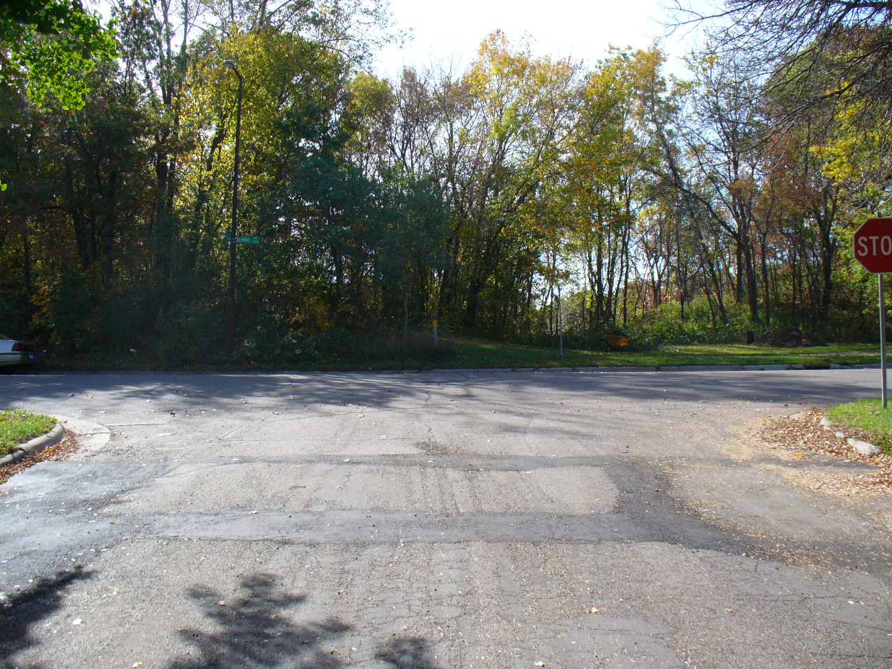
| 0143-0115-2.jpg | October 6, 2006 | Looking East along the South side of Burns Ave. |
| 0143-0115-1.jpg | October 6, 2006 | Close-up of the CIM. |