| NAD83 COORDINATES (1986 adj.): |
|---|
| * X= 561303.140 Y= 154896.191 Z= 000.00 LSQ 12/06/1991 S FLT |
| X= 561303.03 Y= 154896.19 Z= 918.20 05/07/2007 RTK-VRS |
| 5/7/2007 | Position on CIM established by RTK-VRS GPS Elev 918.2 ft. |
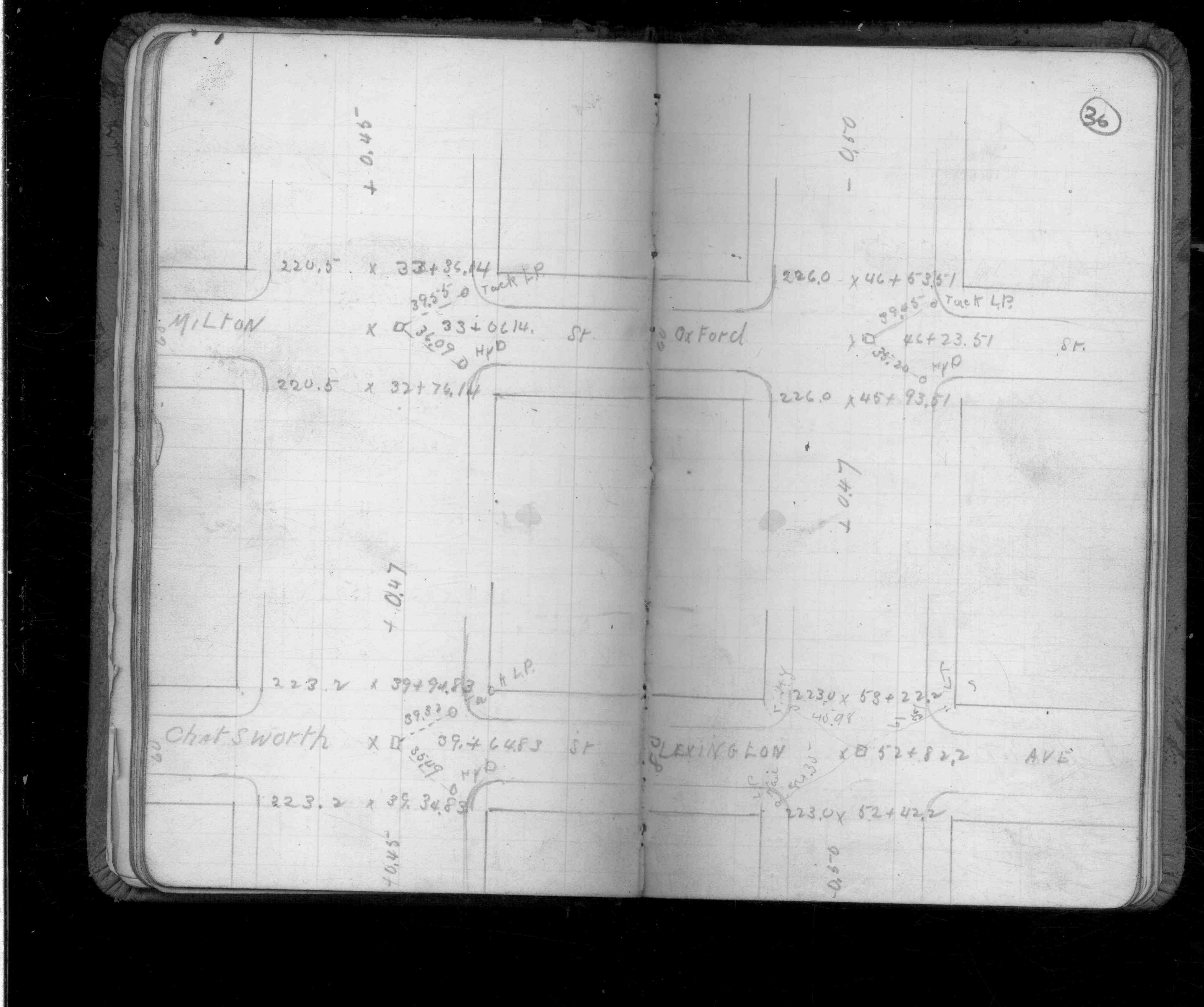
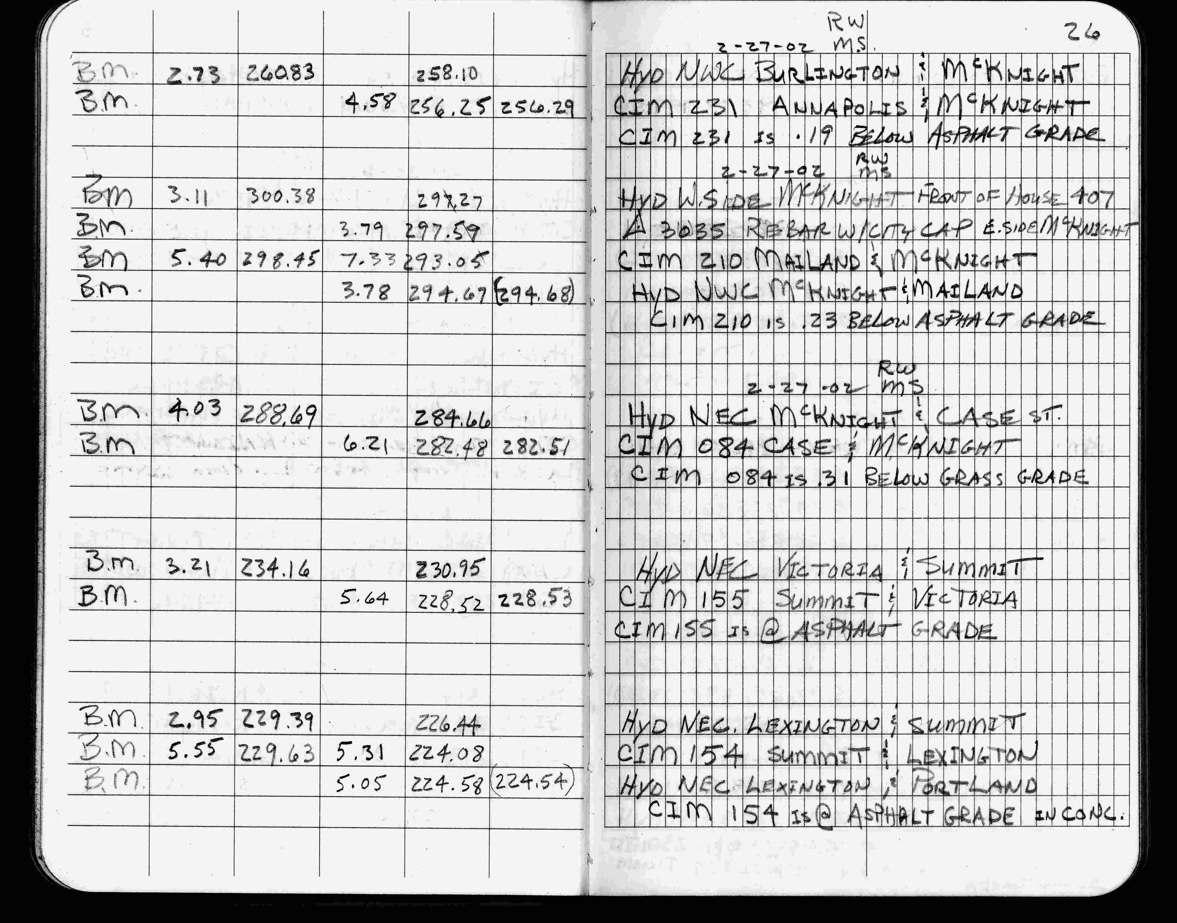
| 2/27/2002 | Elev 224.08 ft on CIM at asphalt surface. See FB 1736 p.26 |
| 3/1/2000 | (Unknown date Mar __, 2000 ) Fd CIM at grade (marked for painting target for 2000 aerial) |
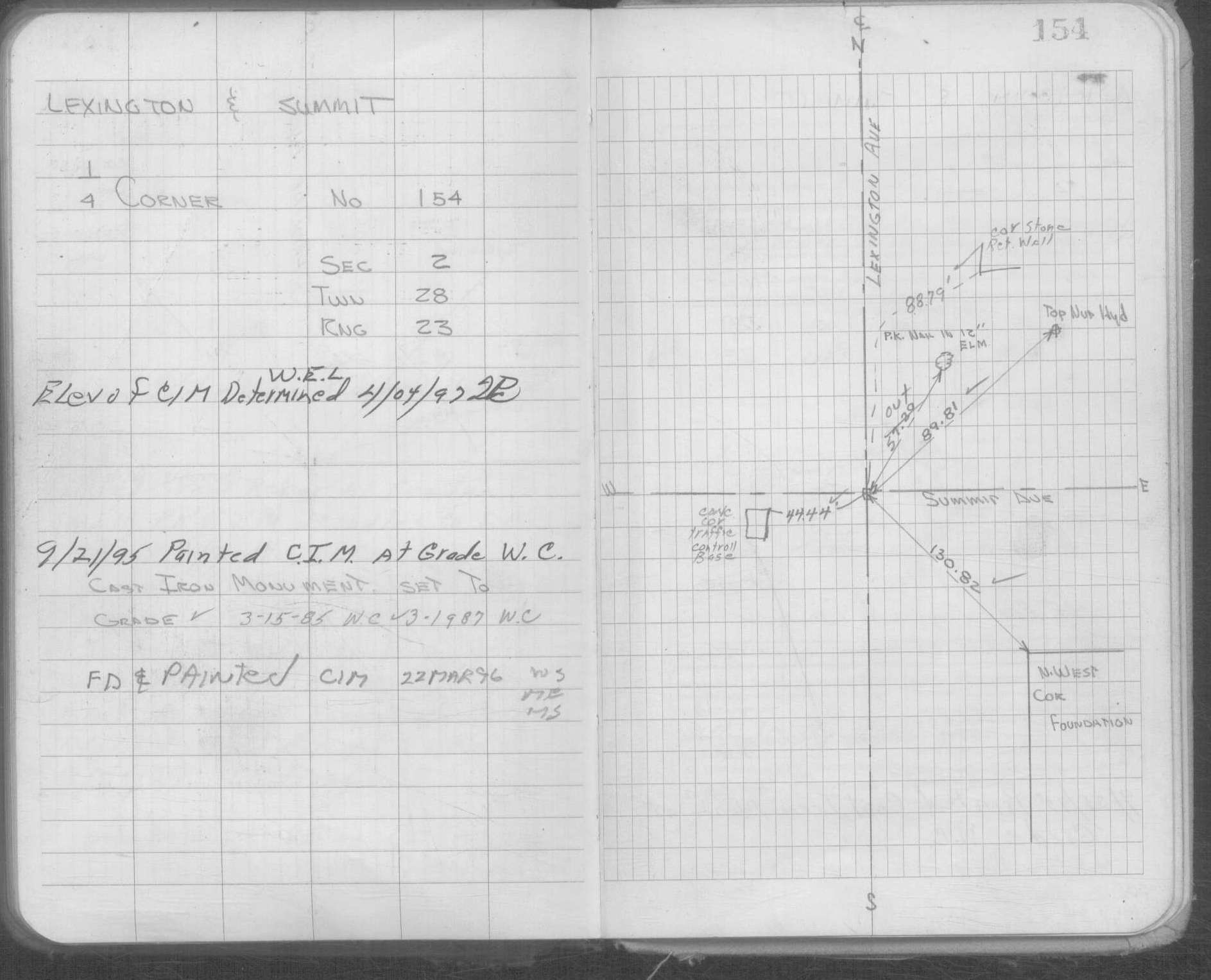
| 9/21/1995 | Fd CIM (marked for painting for 1995 aerial) |
| 8/12/1994 | Set CIM to grade. See CofL 0154-0117-A |
| 4/22/1994 | Placed ties on CIM, removed for sewer work. See CofL 0154-0117-A |
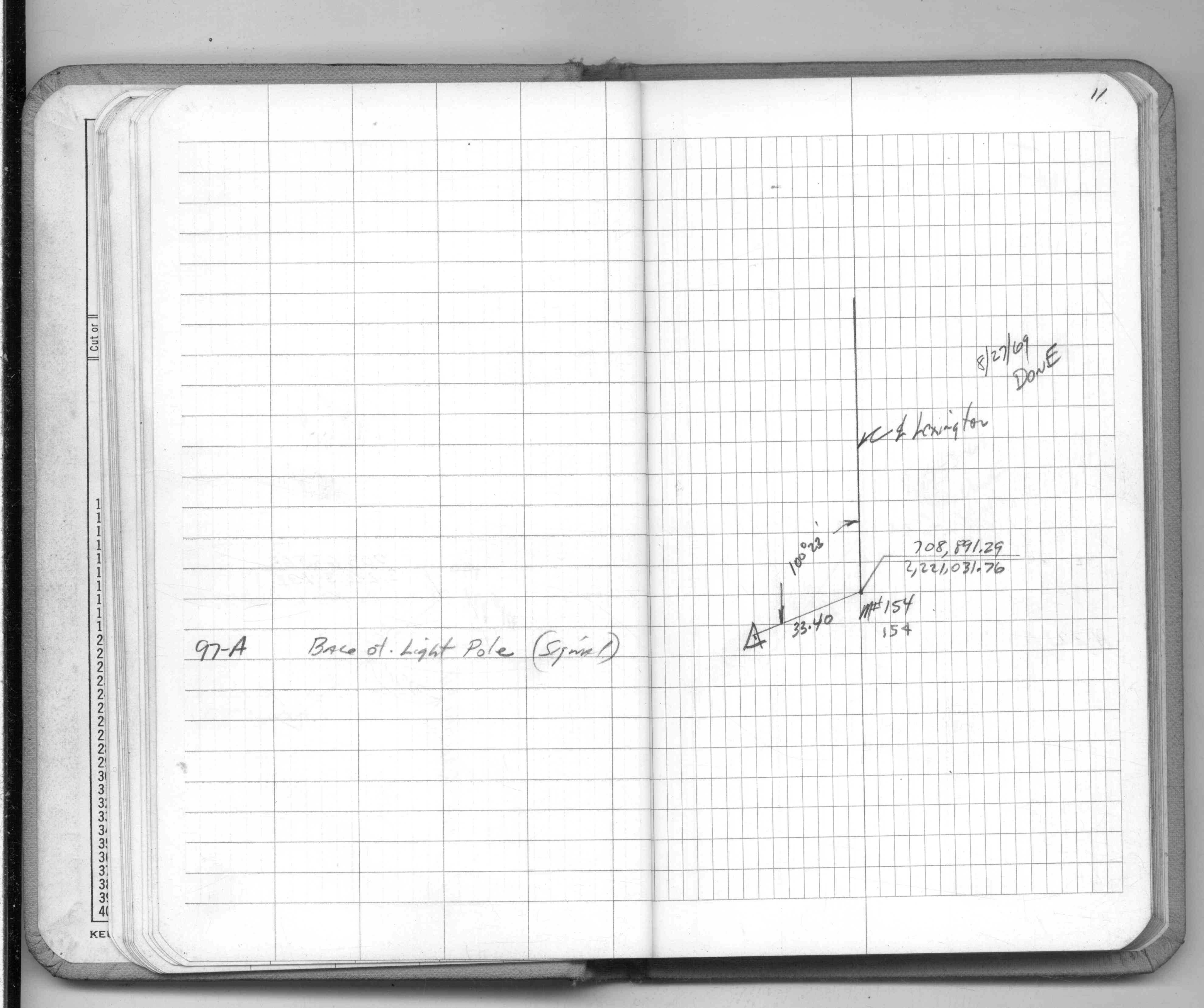
| 3/1/1987 | (Unknown date Mar __, 1987 ) CIM set to grade |
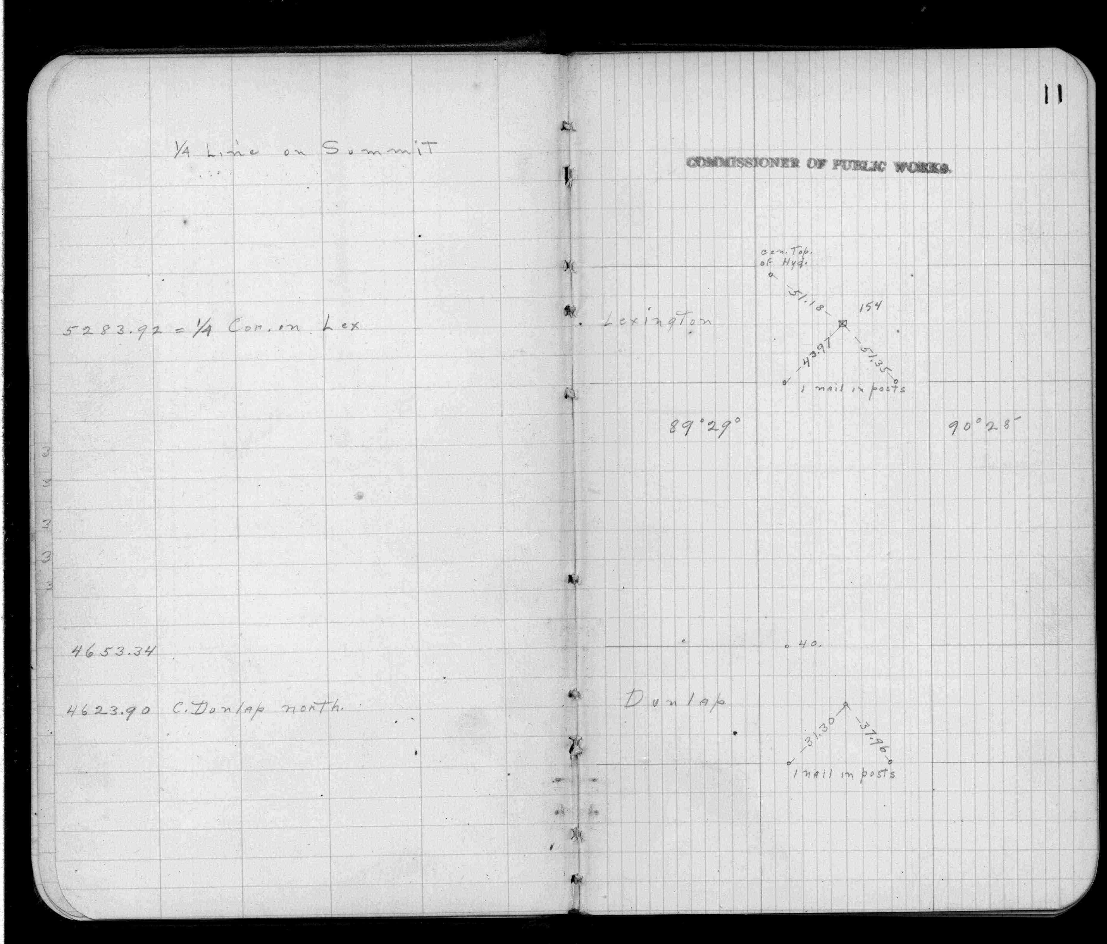
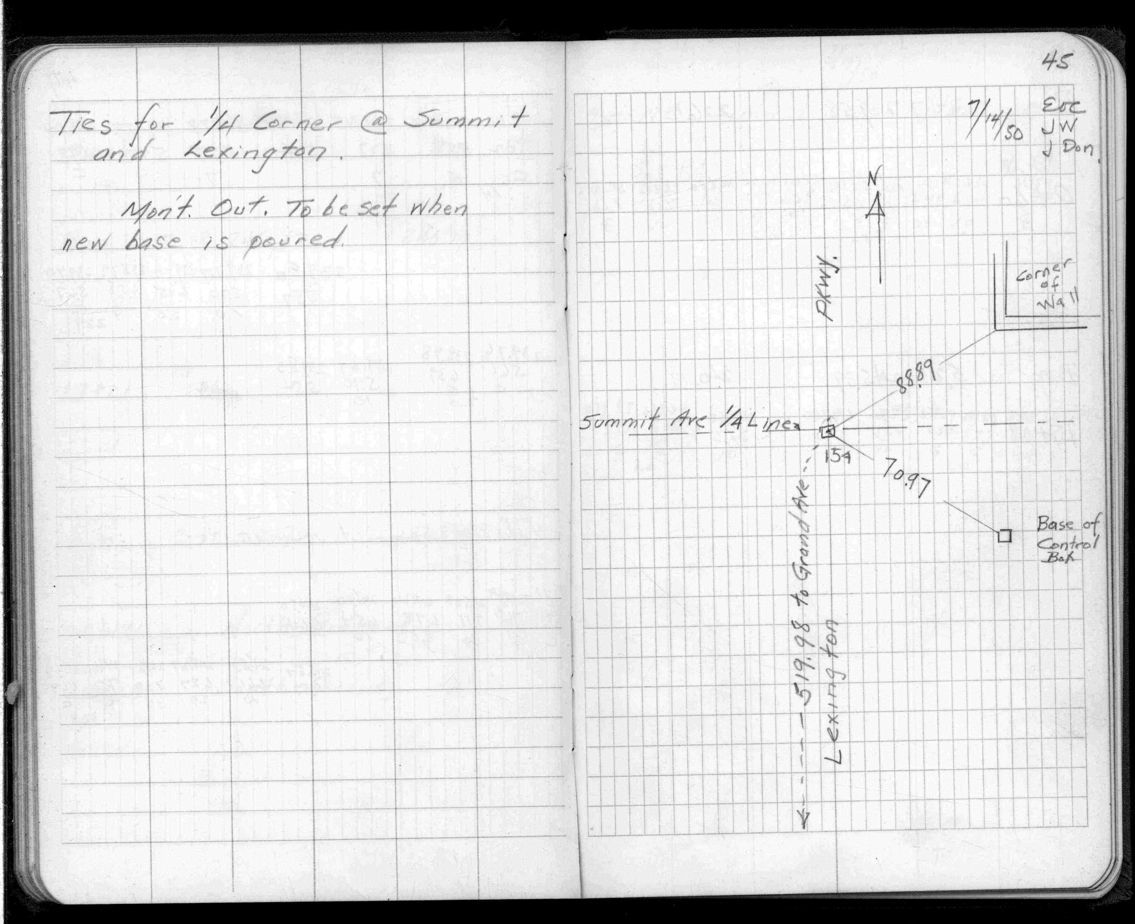
| 7/1/1950 | (Unknown date Jul __, 1950 ) Placed ties. See FB 1402 p.45 |
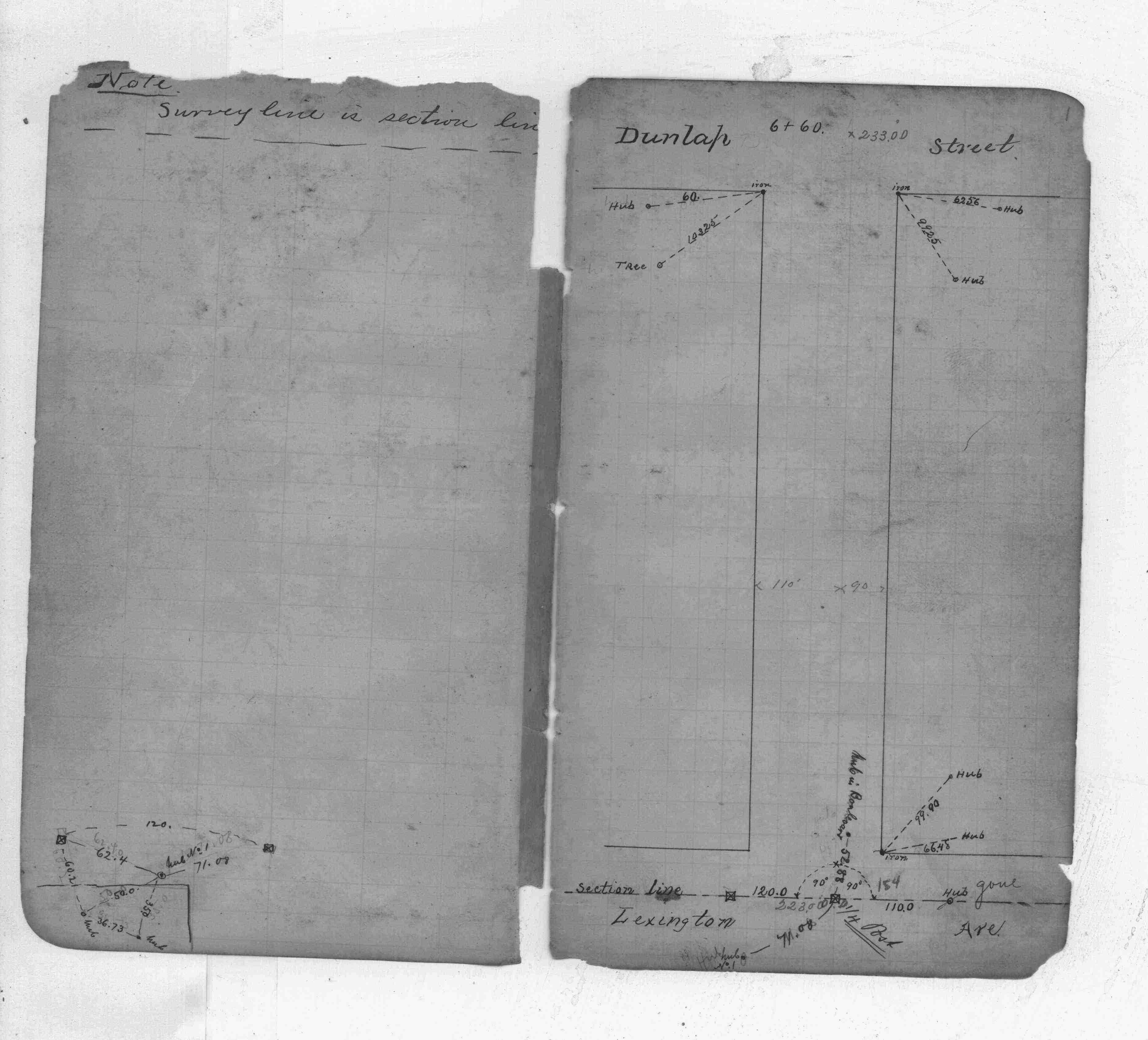
| 10/1/1847 | (Unknown date Oct __, 1847 ) Isaac N Higbee deputy surveyor set post. Tied to 2 BTs. See IH p.010-011 2823 |
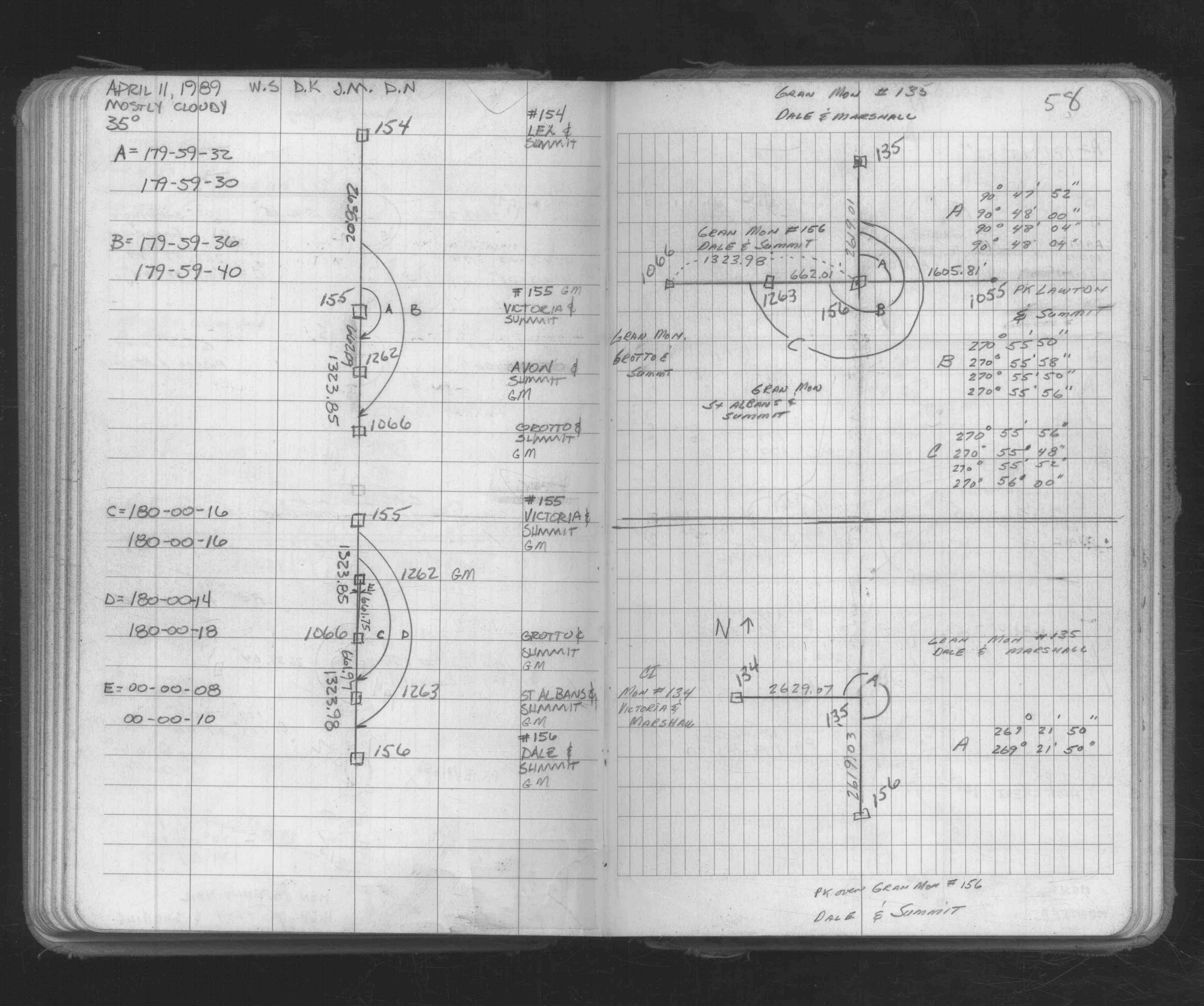
| 1/1/1800 | (Unknown date ___ __, 18?? ) Elev 224.136 ft on GM. See Old Benches Book, Entry 1271 & 1827 |
| 1/1/1800 | (Unknown date ___ __, ____ ) Placed ties. See FB 705 p.56 |
Above is NOT an all inclusive history of this point. Please review all the links below.
| PLS NOTES | Field | Cross Section | Sewer | J.B. Irvine | Monument | River Survey |
|---|---|---|---|---|---|---|
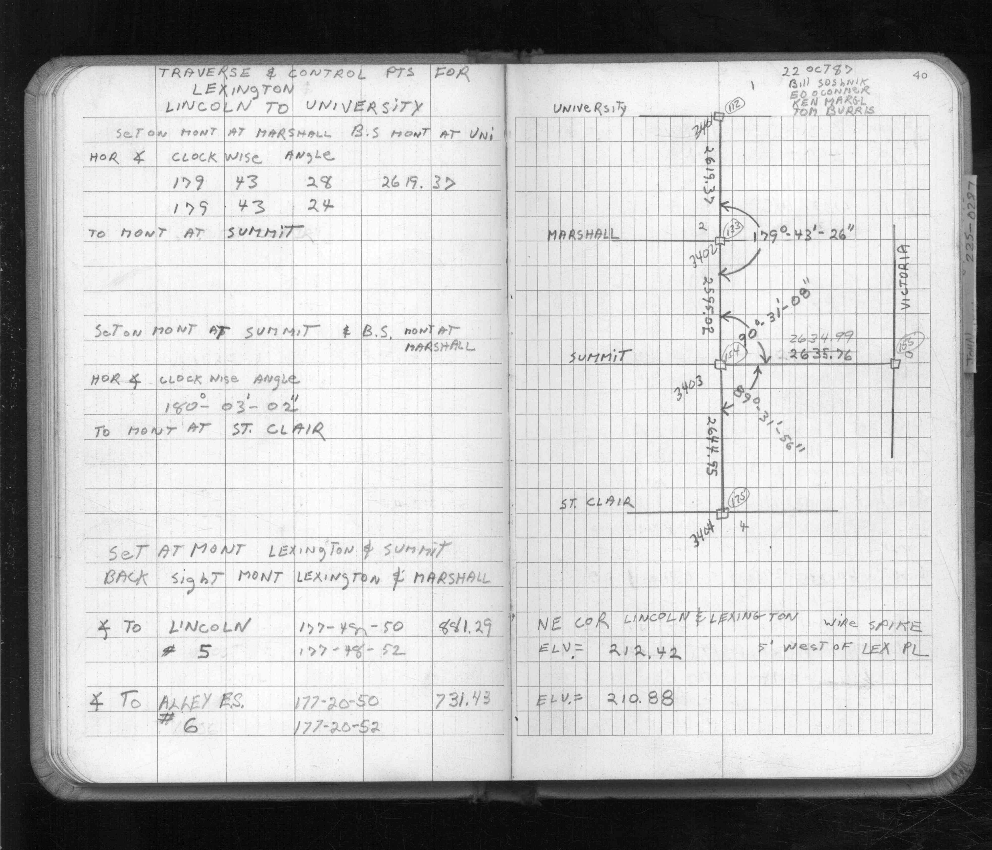
| IH p.010-011 | FB 0207p.01 | CS 1253p.36 | ||||
| FB 0220p. 21 ,22 ,27 | ||||||
| FB 0291CPYp.11 | ||||||
| FB 0705p.56 | ||||||
| FB 0705p.56 | ||||||
| FB 1402p.45 | ||||||
| FB 1402p.45 | ||||||
| FB 1549Cp.11 | ||||||
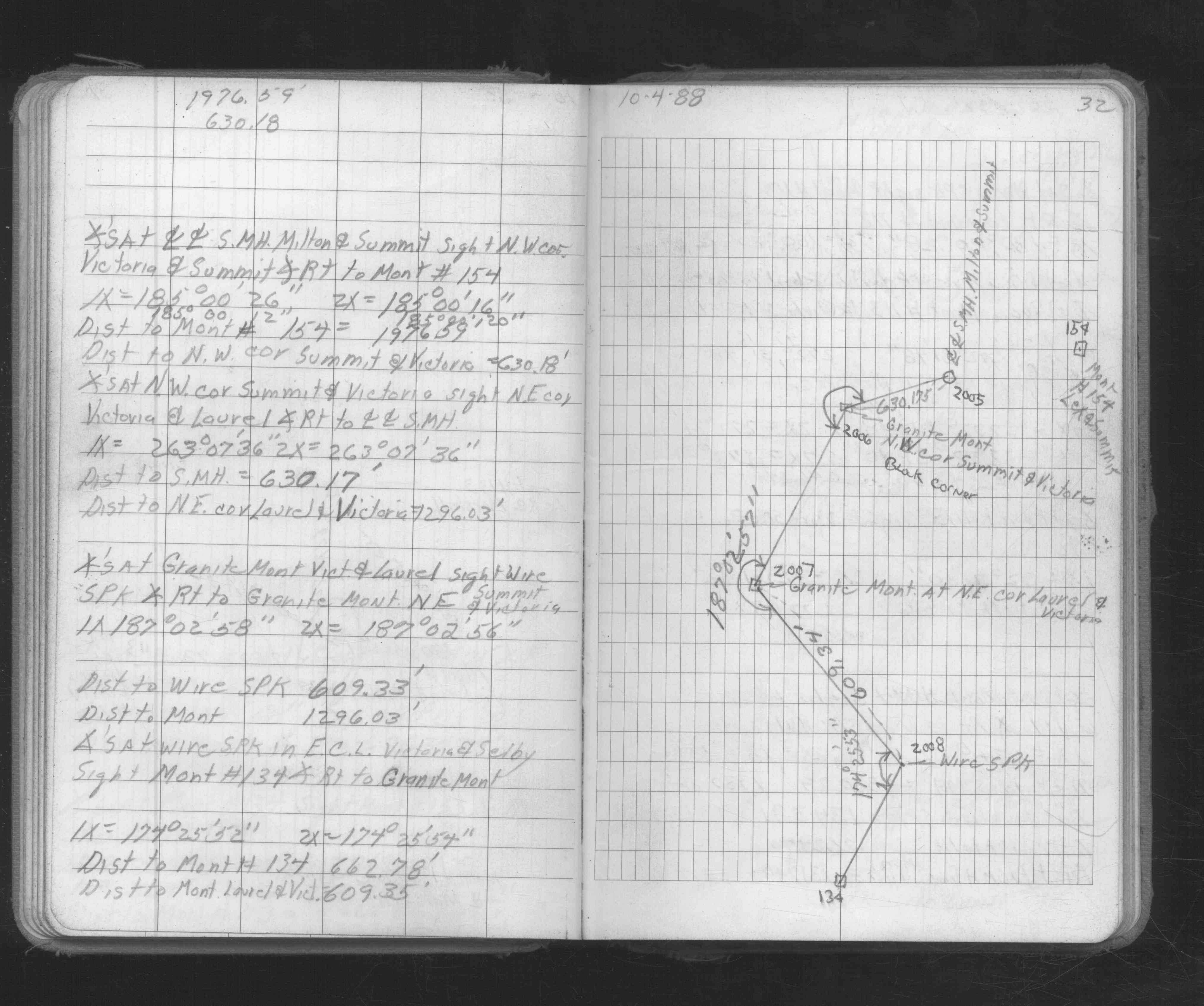
| FB 1592p.40 | ||||||
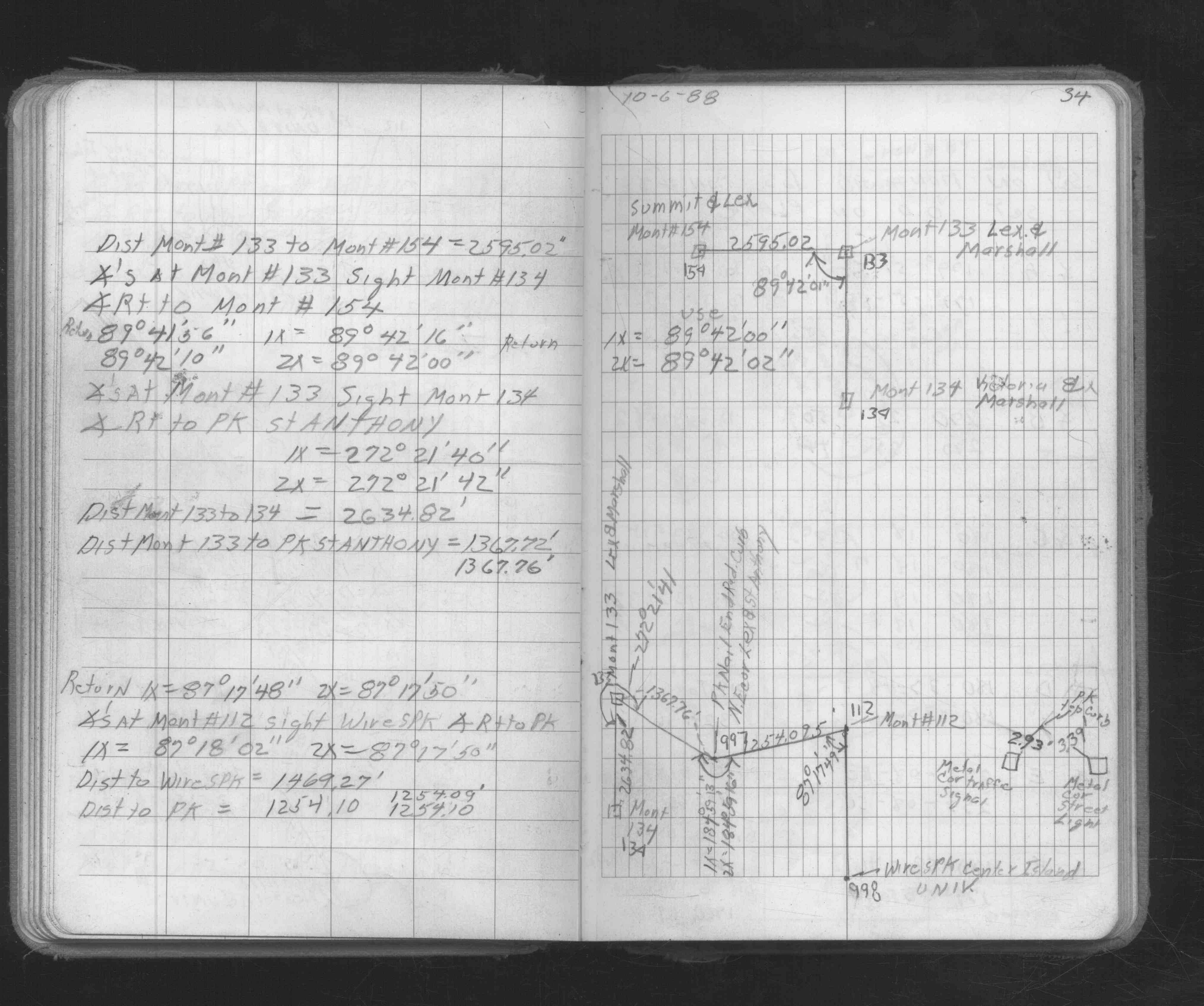
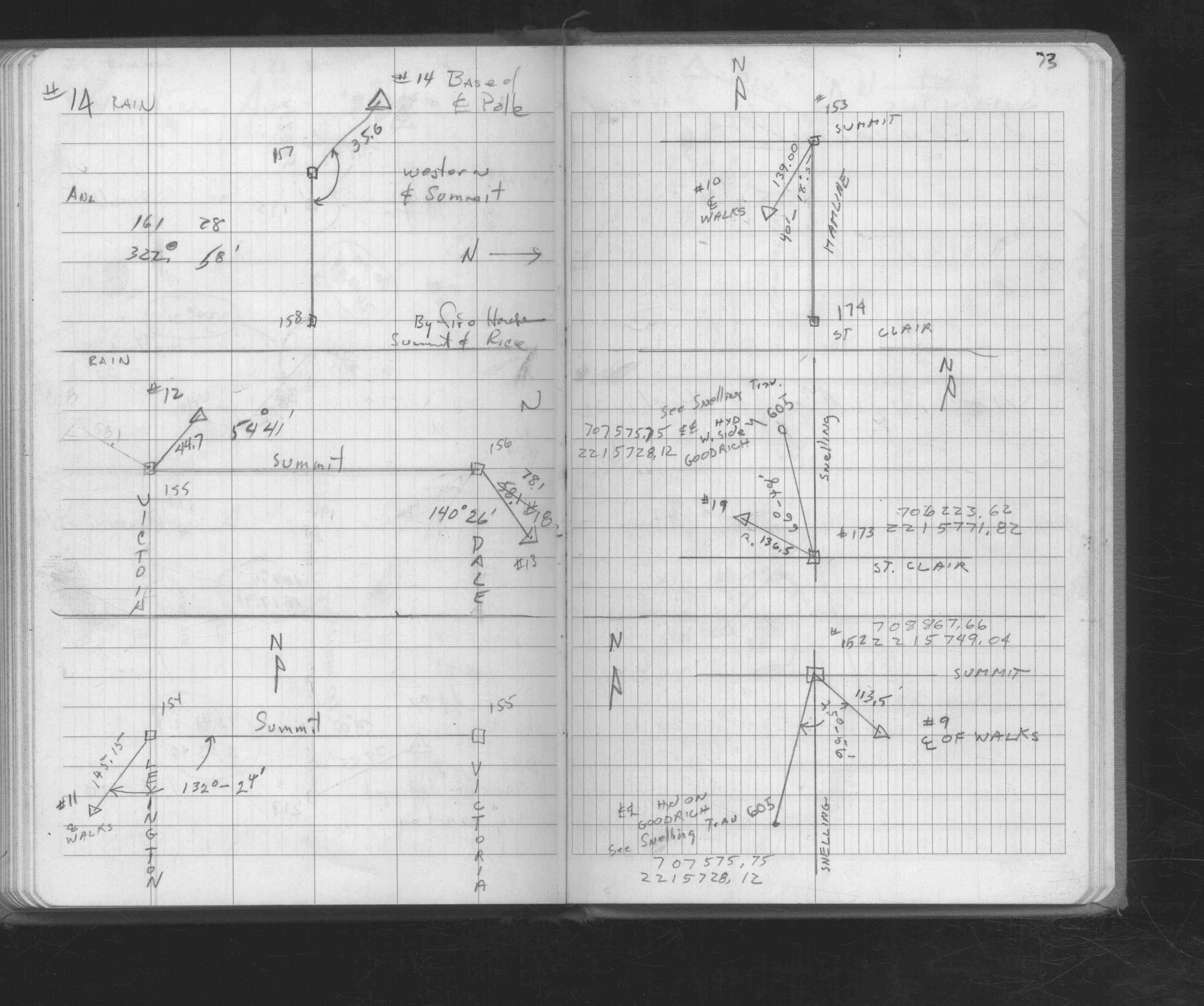
| FB 1673Ap. 32 ,34 ,47 ,53 ,54 ,57 ,58 | ||||||
| FB 1676Ap.73 | ||||||
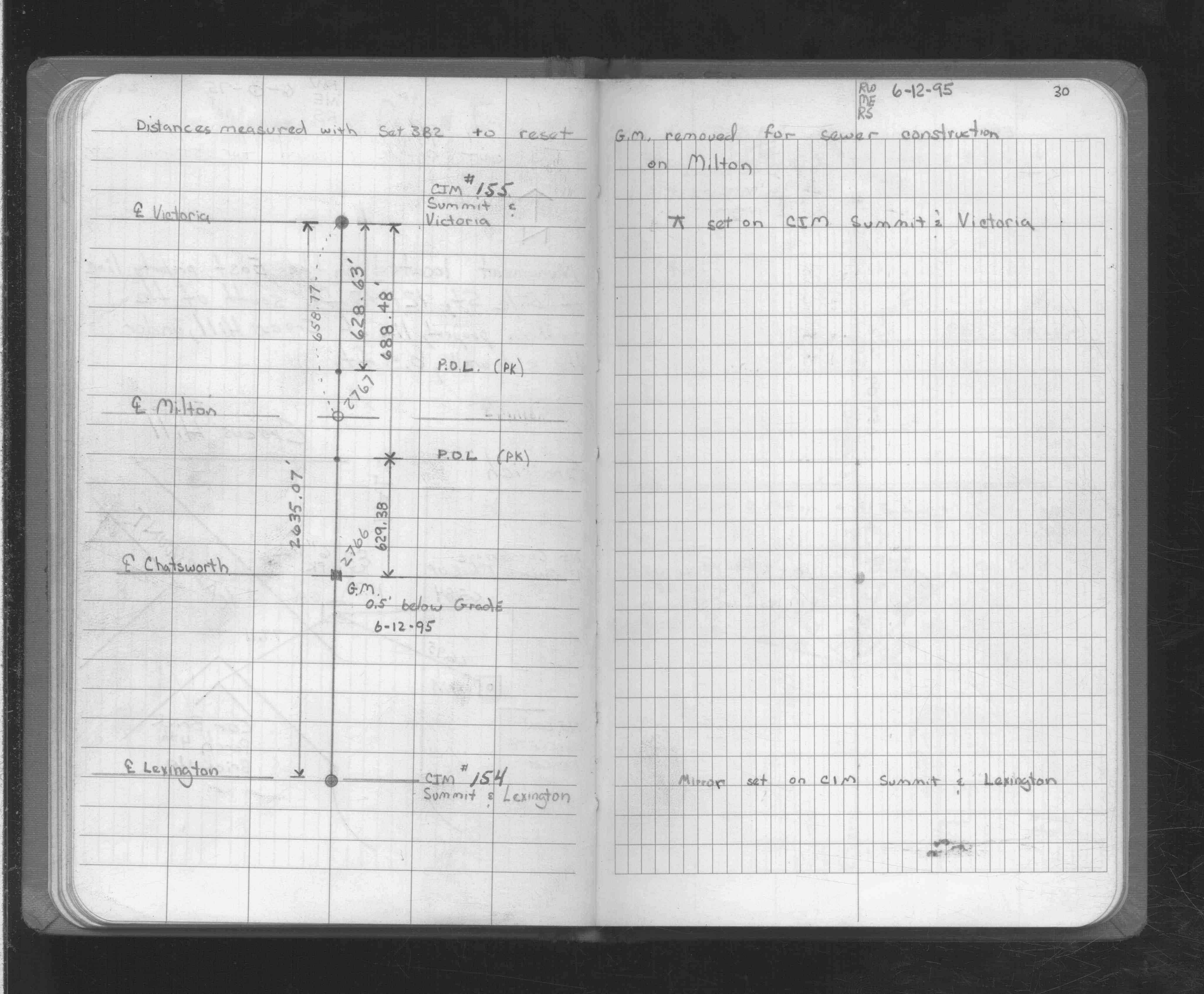
| FB 1725p.30 | ||||||
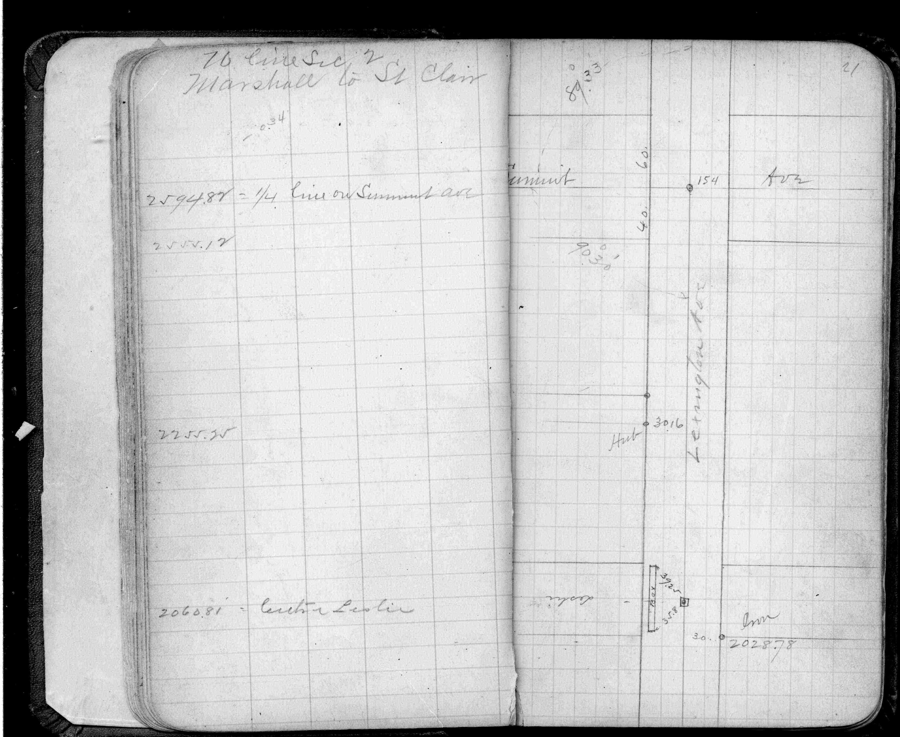
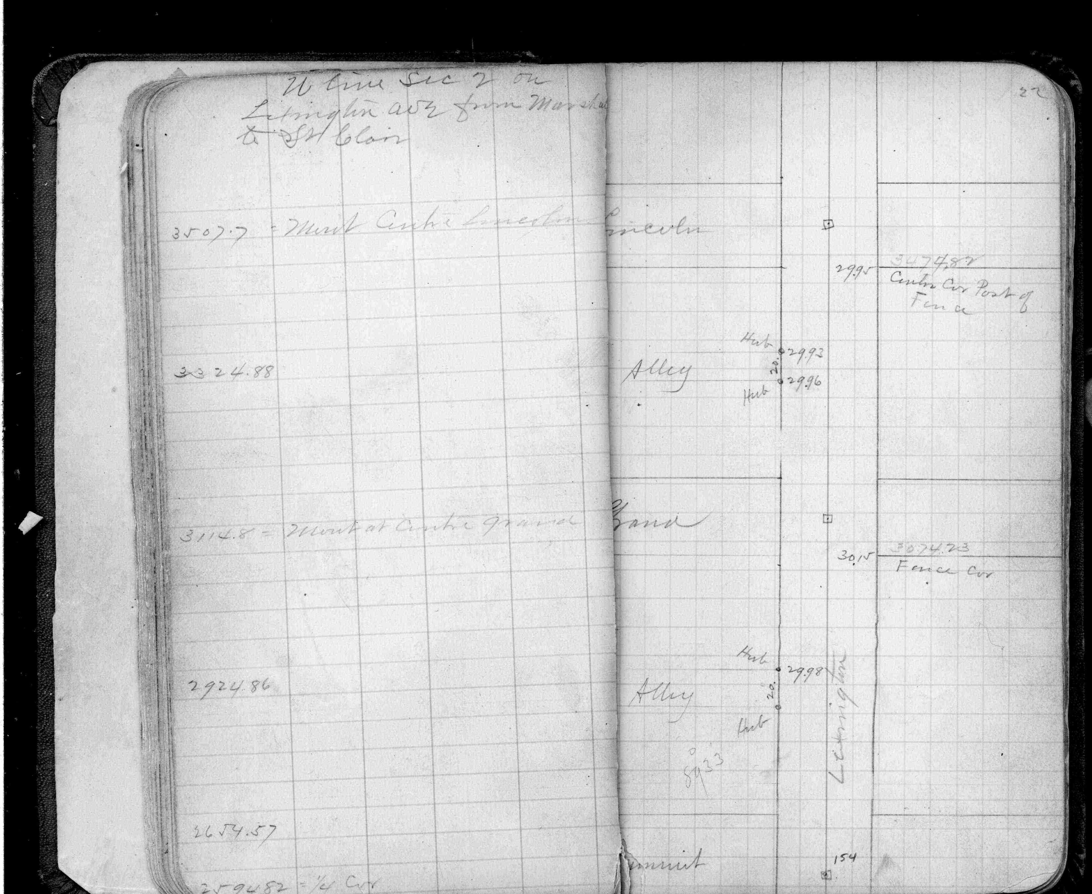
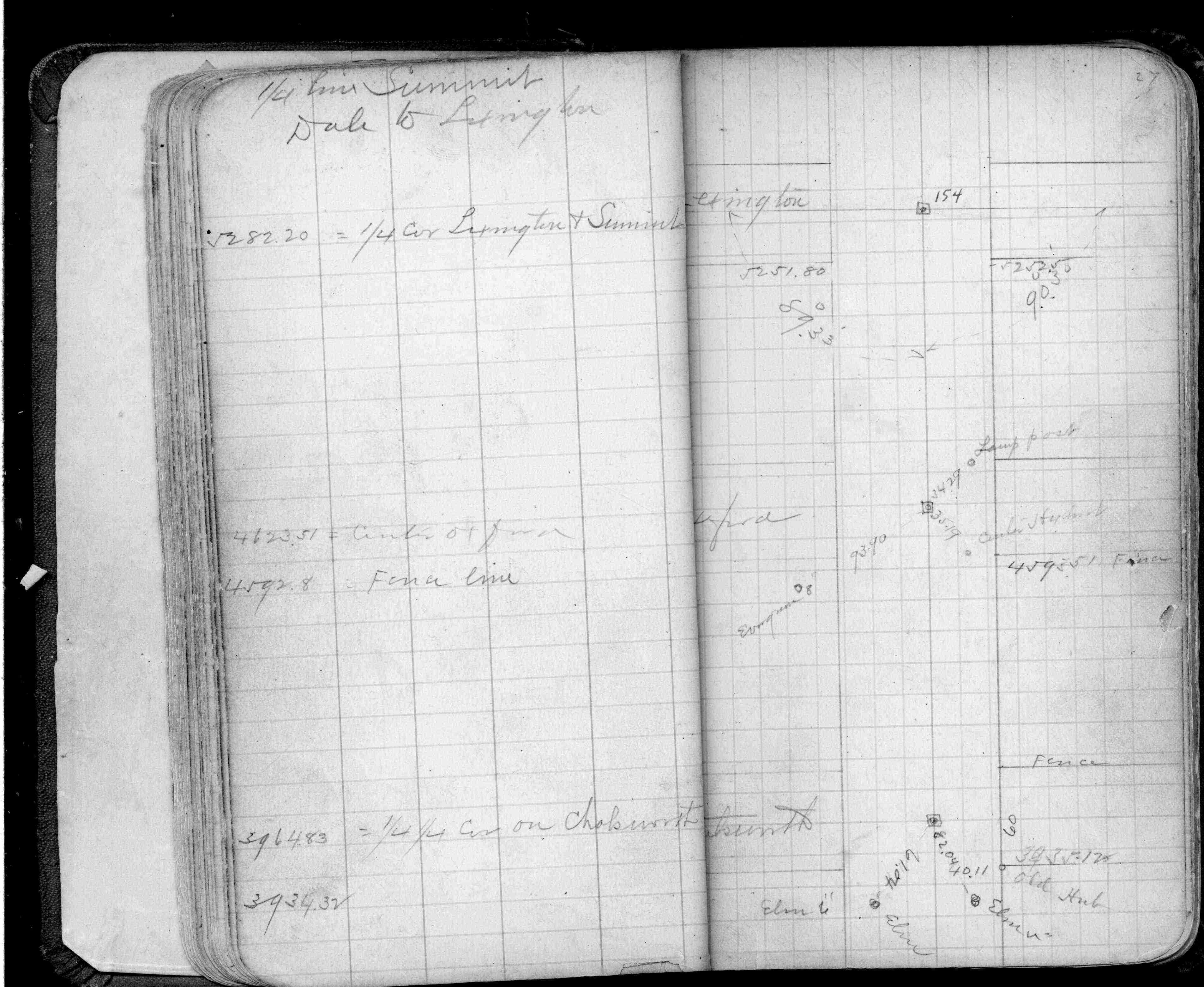
| FB 1736p.26 |
| FILE | SURVEYOR | LIC. NO. | DATE SIGNED | DATE TIED |
|---|---|---|---|---|
| 0154-0117-A.tif | William J. Cutting | 20576 | August 20, 1994 | August 12, 1994 |
| ST_079-156p154.jpg | none | none | none | none |
| 0154-0117-A.dwf | none | none | none | none |