| NAD83 COORDINATES (1986 adj.): |
|---|
| * X= 571839.260 Y= 154908.839 Z= 000.00 LSQ 12/06/1991 S FLT |
| X= 571839.16 Y= 154908.95 Z= 777.00 04/16/2008 RTK-VRS |
| 9/19/2014 | 7 of 8 tie objects from 2004 tie sheet remain in place. Only the tie to the westerly retaining wall is no longer reliable. |
| 4/16/2008 | Position on CIM established by RTK-VRS GPS. Elevation 777.0 ft. |
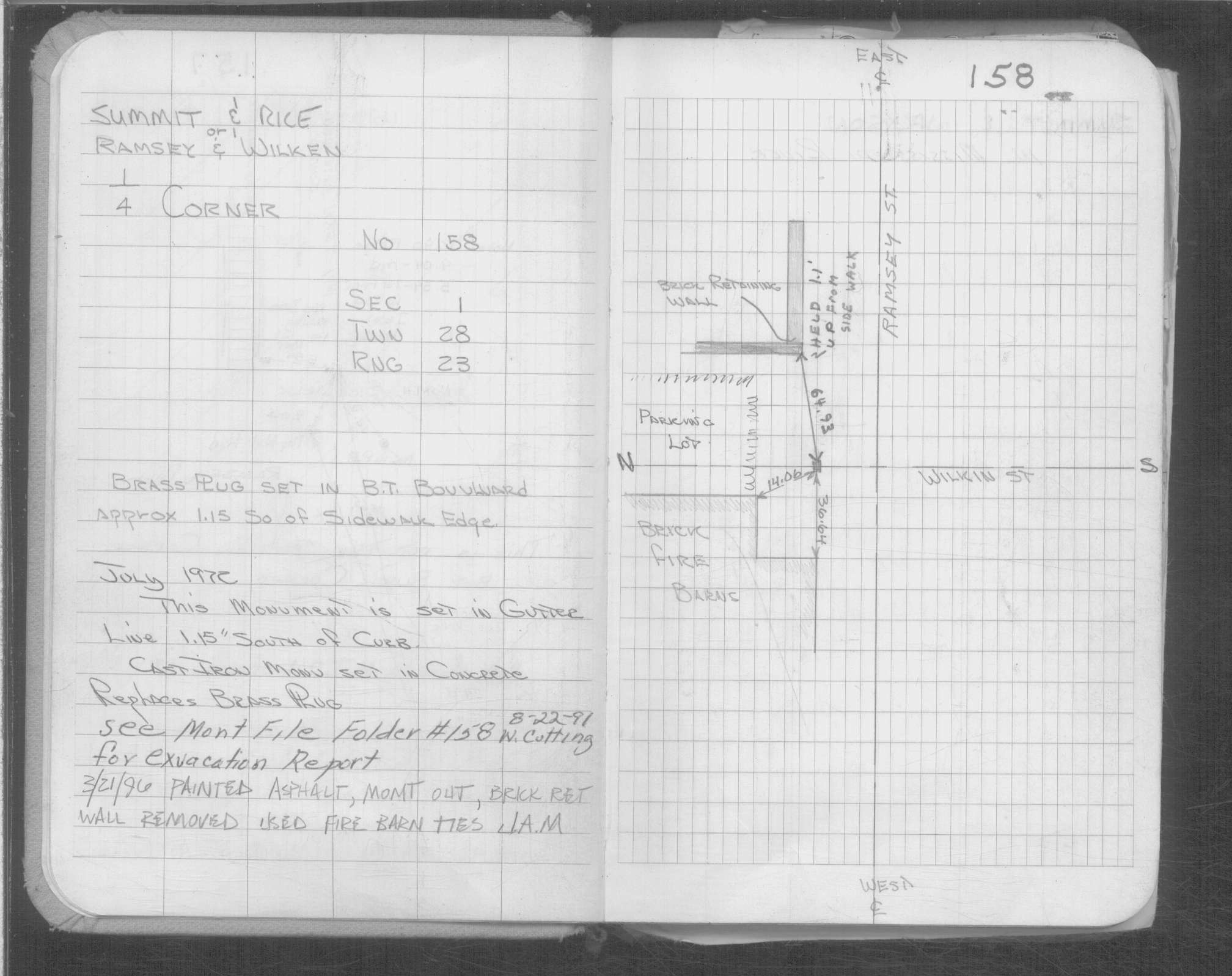
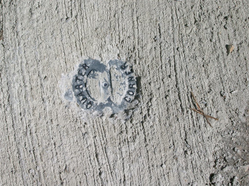
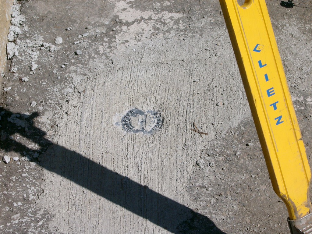
| 4/13/2004 | Fd CIM labeled "QUARTER CORNER" 1.2 ft southerly of the northerly curb. |
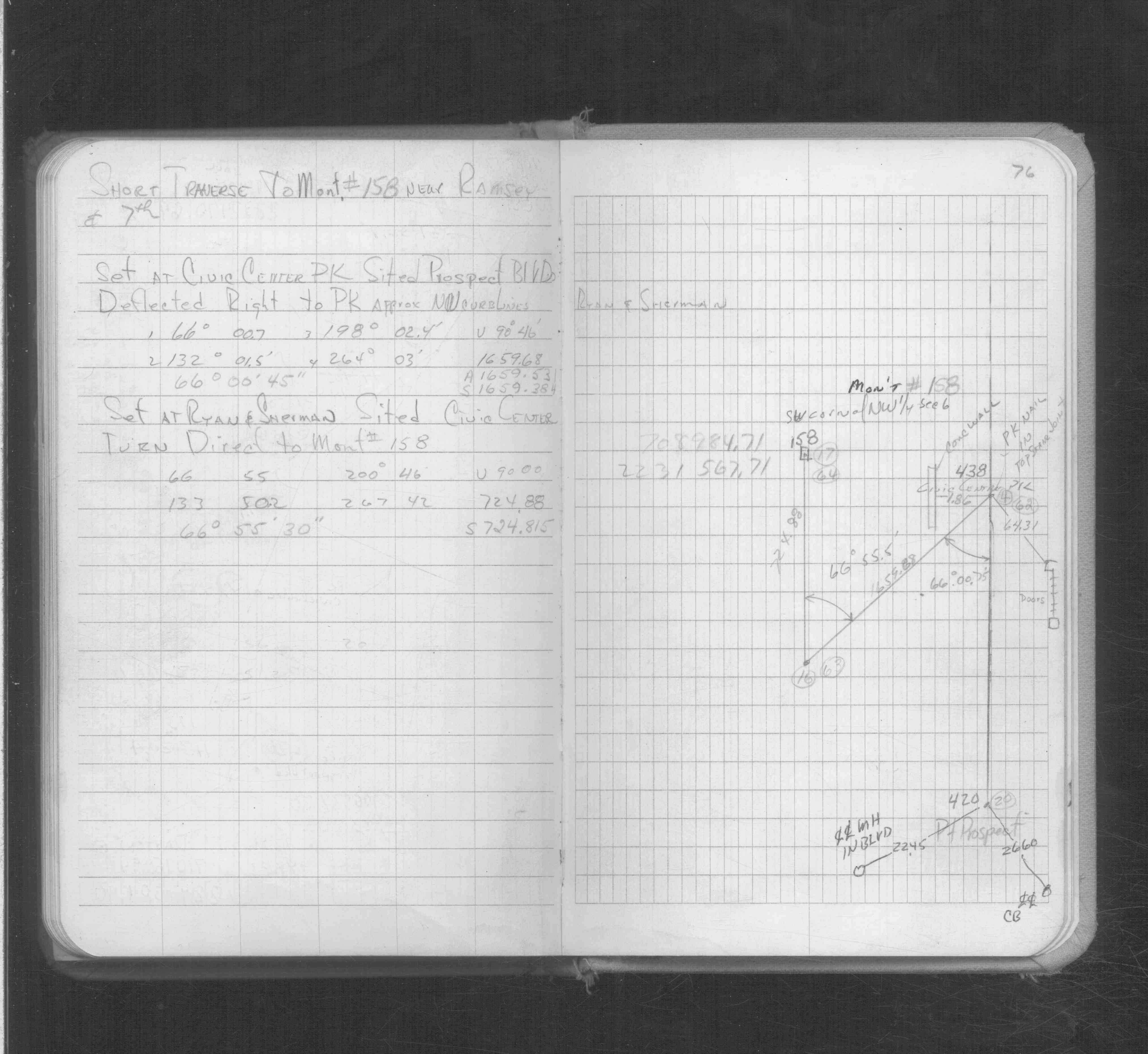
| 3/30/2004 | Set ties on CIM in concrete See CofL 0158-__ey-B |
| 3/23/2004 | Set CIM labeled "QUARTER CORNER" in concrete 0.02 ft below asphalt grade. Photos taken. |
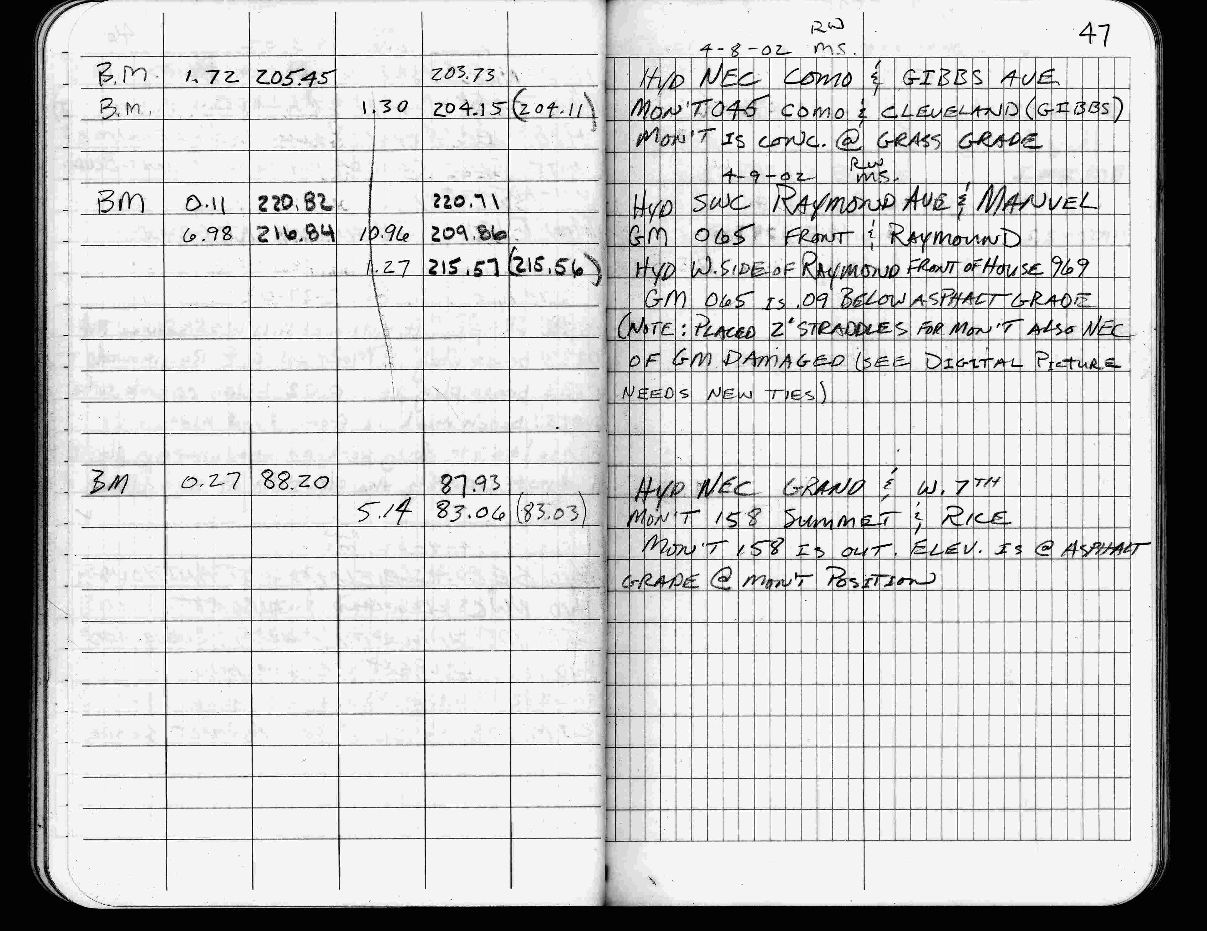
| 4/9/2002 | Elev 83.06 ft on asphalt surface (monument is out). See FB 1736 p.47 |
| 3/8/2000 | No mon't found, placed 4-2 ft straddles from building ties. See CofL 0158-__ey-A |
| 3/8/2000 | Monument position marked for painting target for 2000 aerial |
| 3/26/1997 | Elev 83.03 ft on mon't out. See acorddat/1997/p1157/p1157.sdr Digital-Unadj |
| 8/1/1991 | (Unknown date Aug __, 1991 ) Monument out |
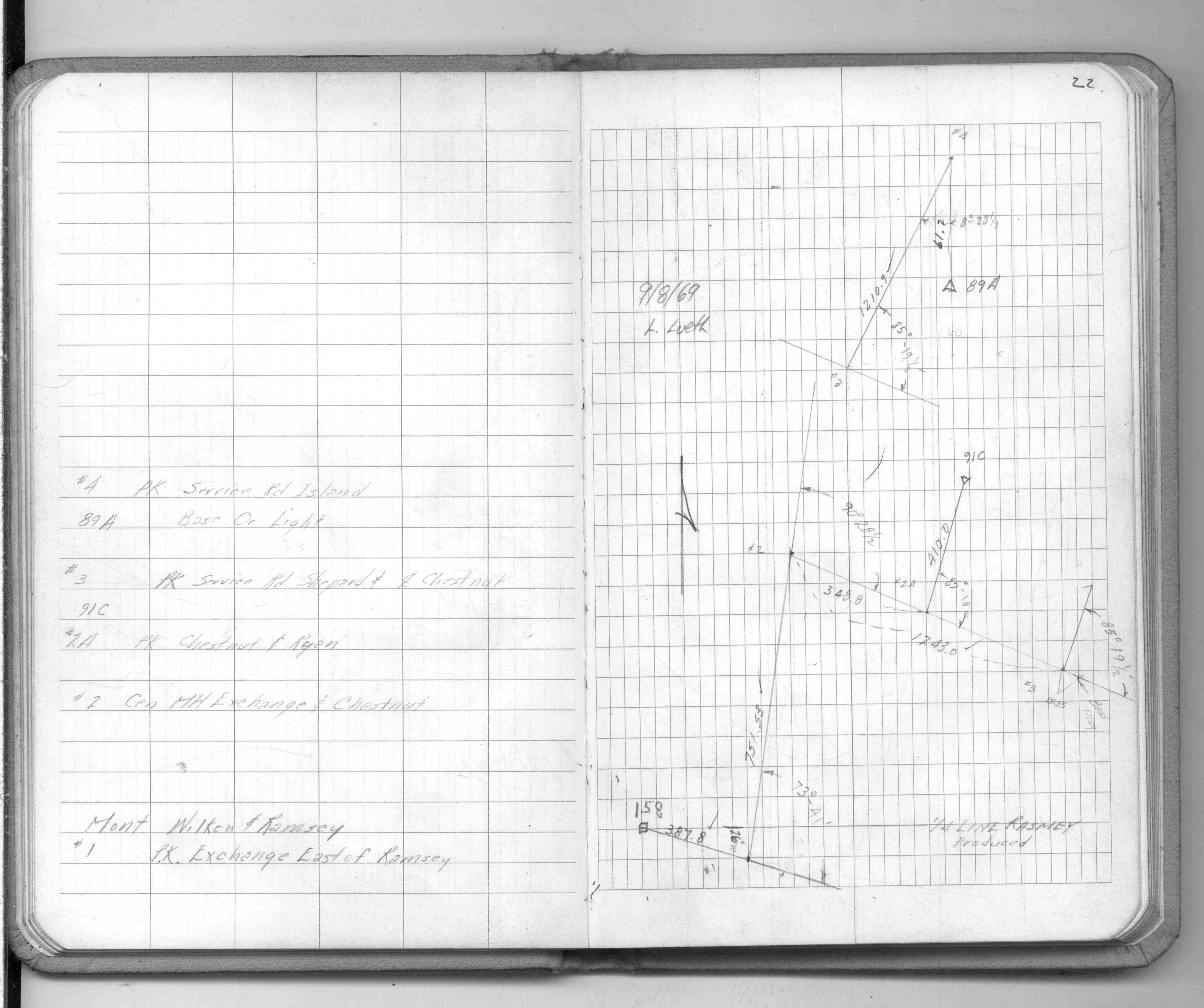
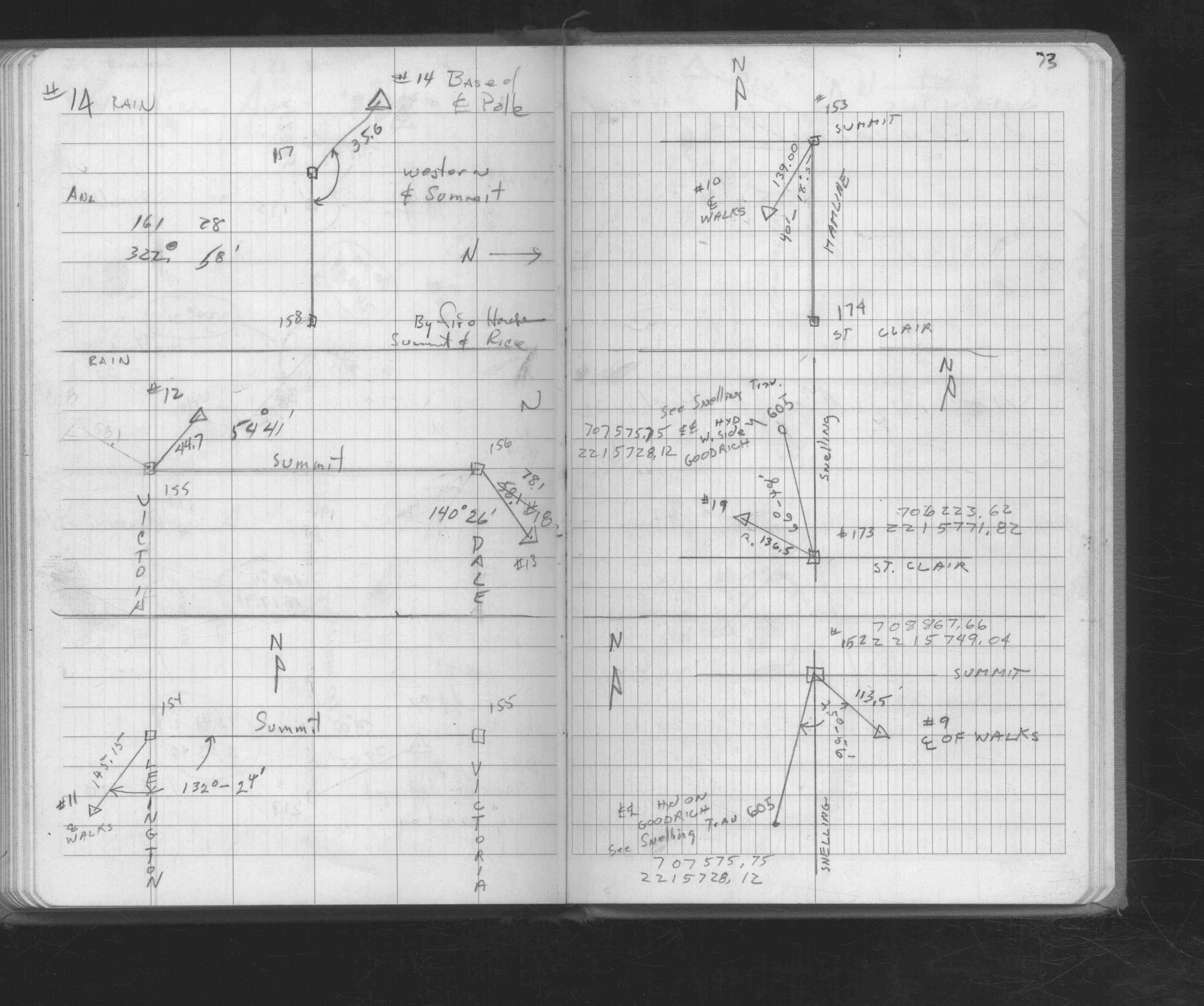
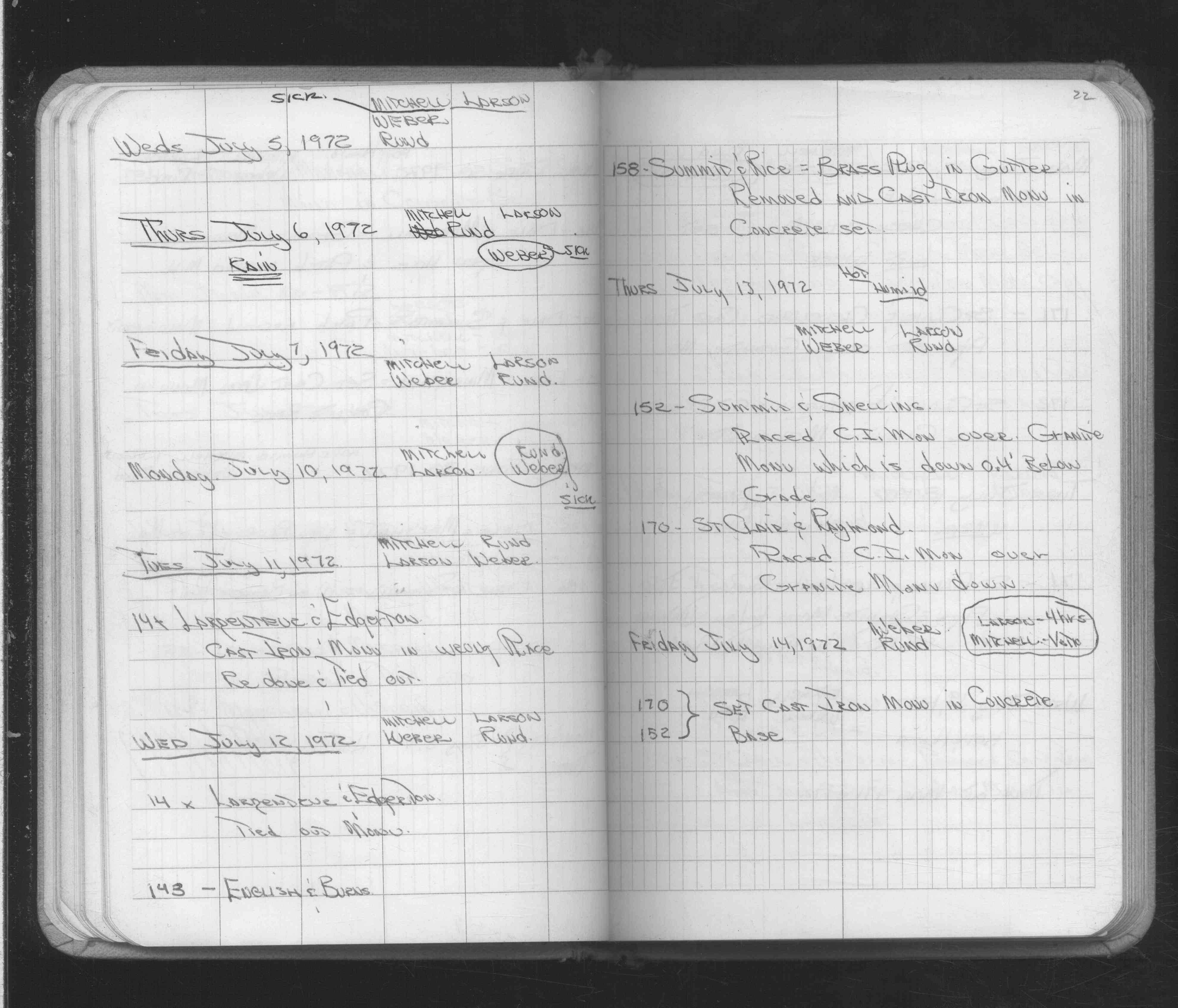
| 7/12/1972 | Fd brass plug in gutter, removed brass plug, set CIM in concrete. See FB 1689A p.22 |
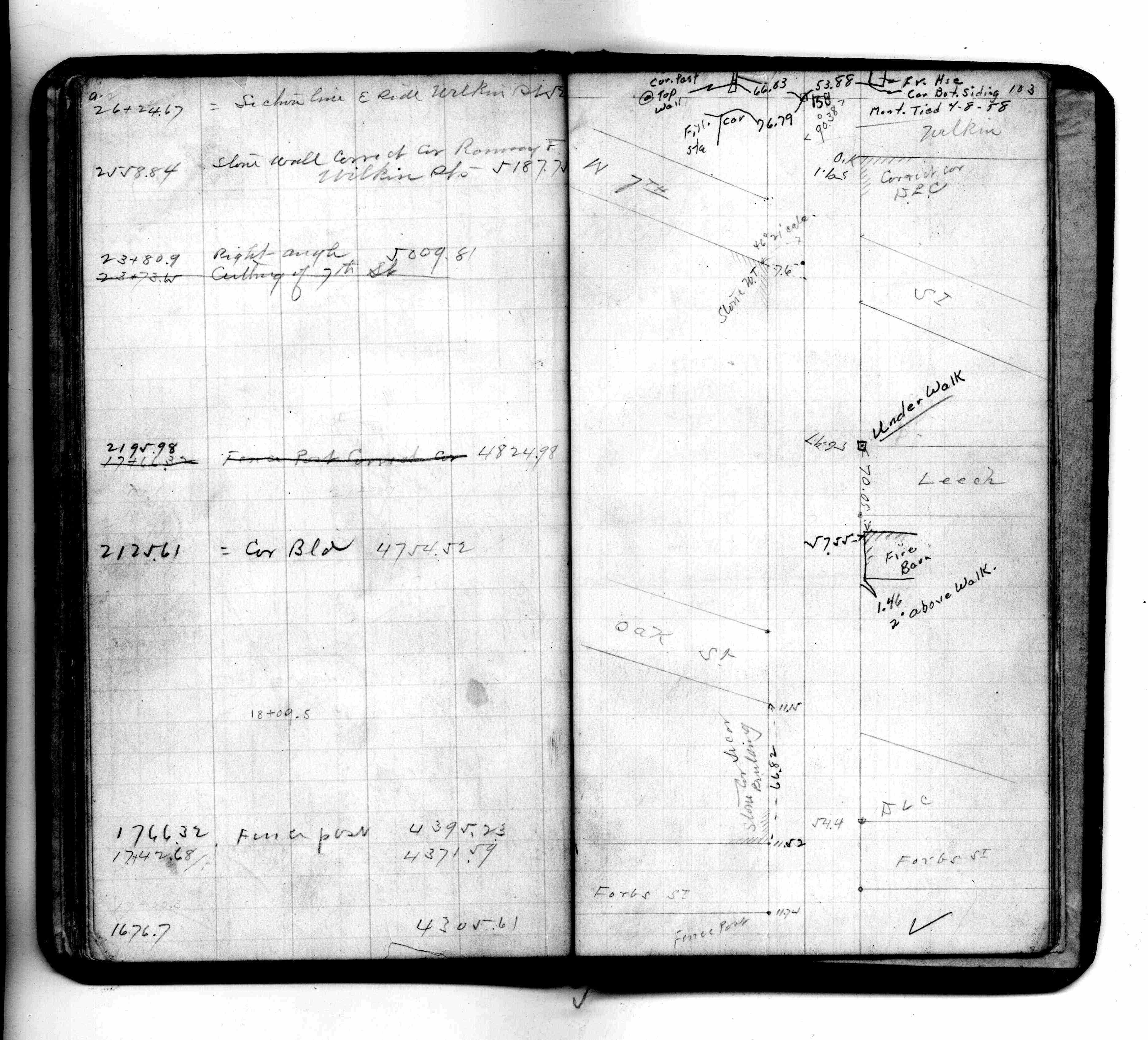
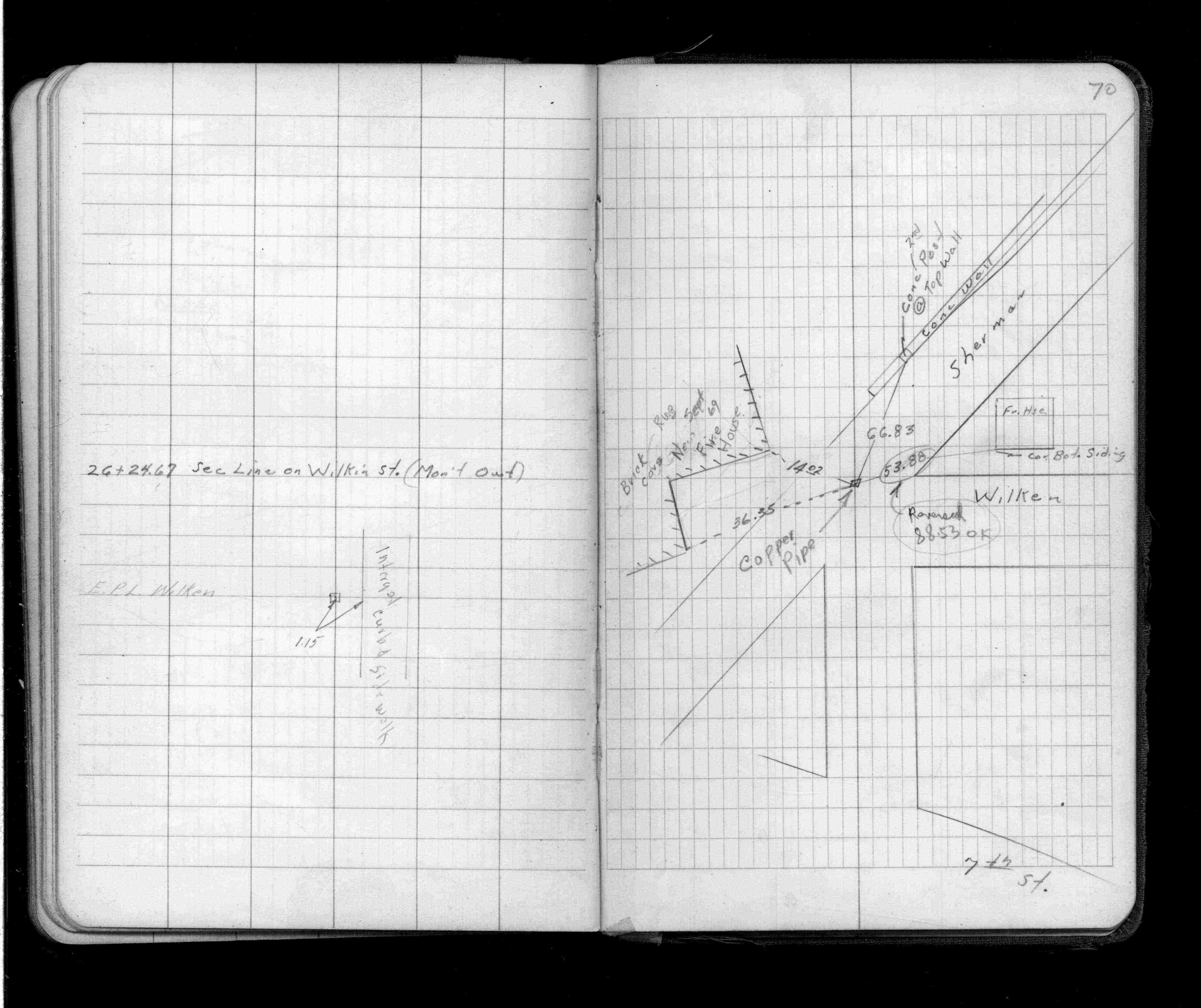
| 4/1/1958 | (Unknown date Apr __, 1958 ) Placed ties on copper pipe. See FB 1389 p.70 |
| 5/1/1944 | (Unknown date May __, 1944 ) Placed ties. See FB 1362 p.8 |
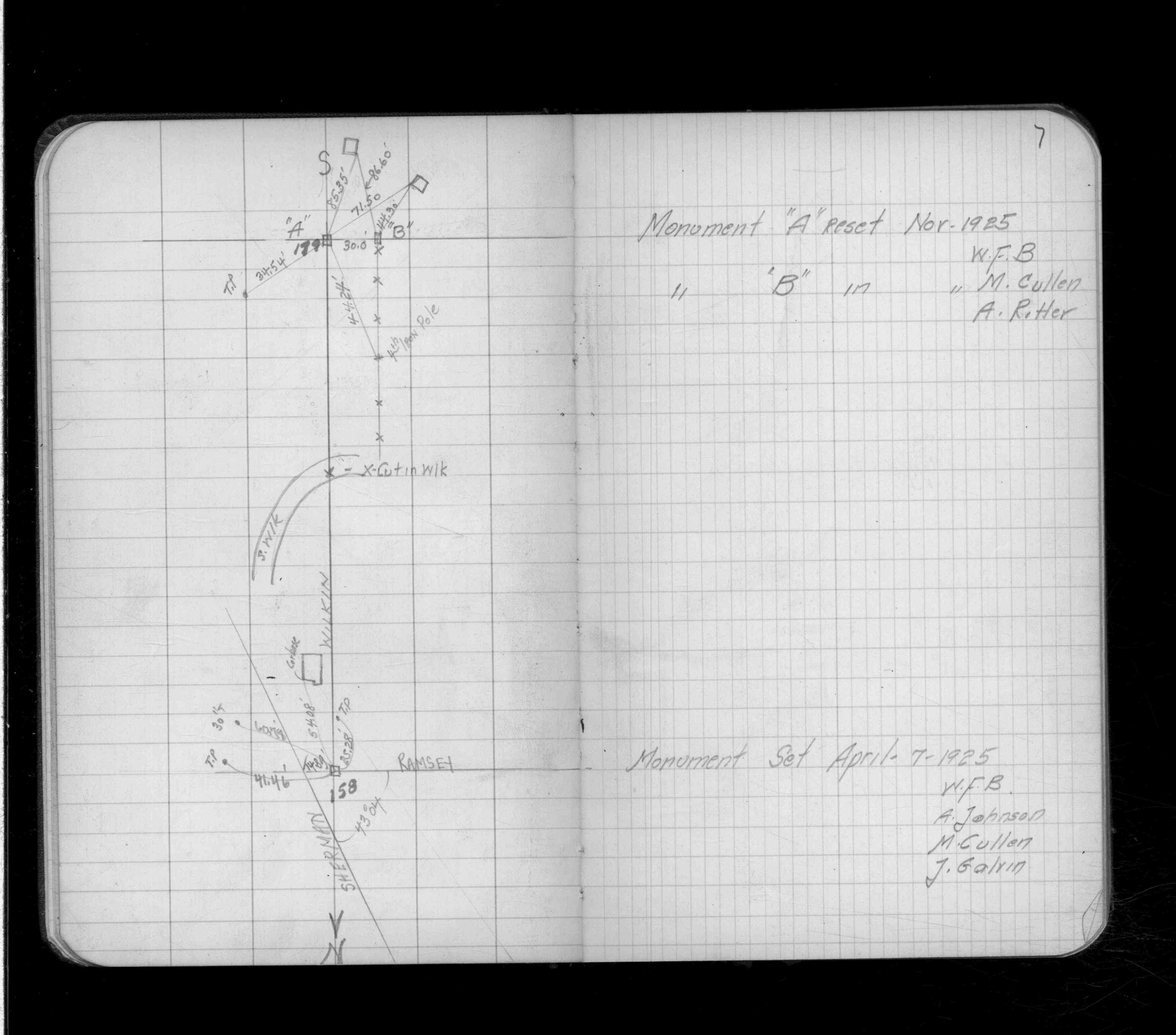
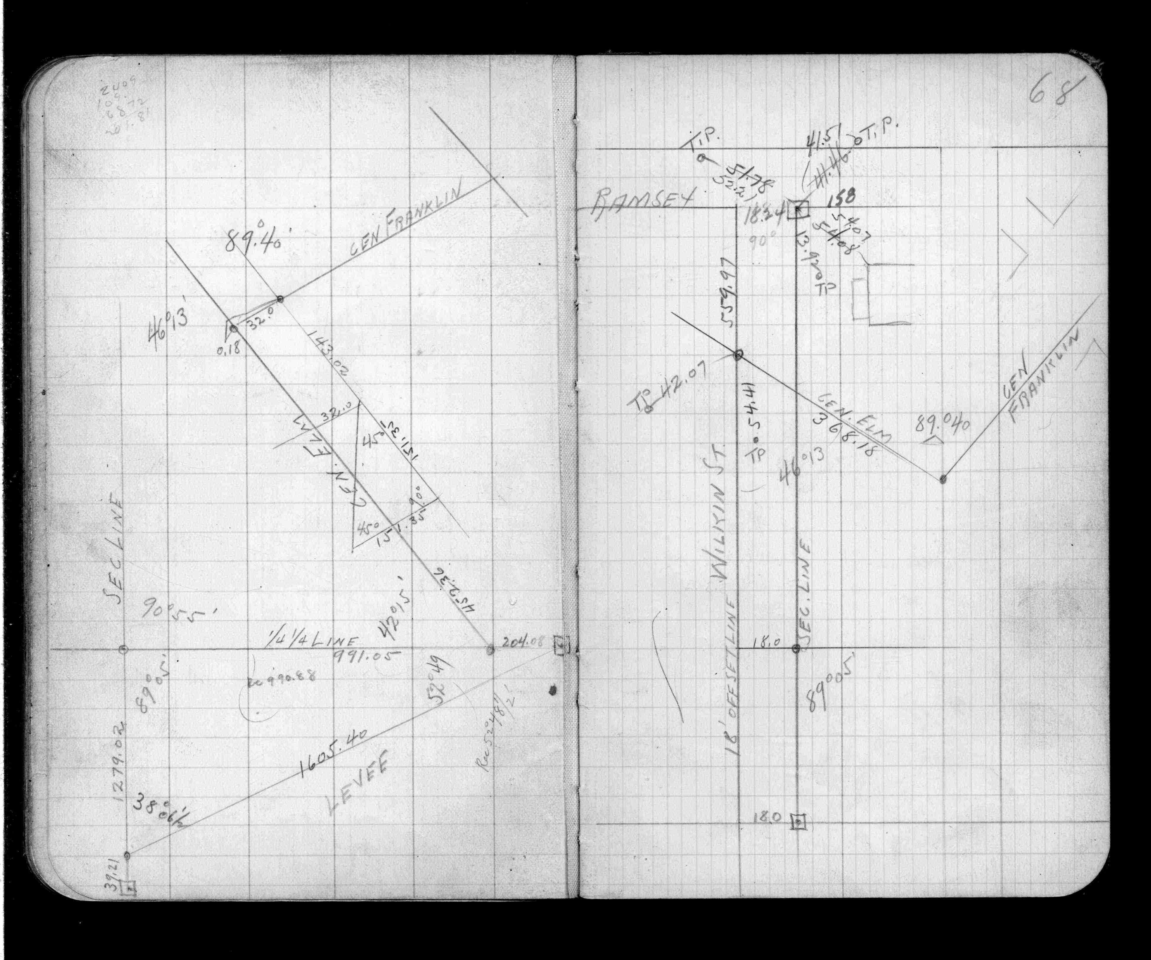
| 3/1/1927 | (Unknown date Mar __, 1927 ) Placed ties. See FB 1170 p.68 |
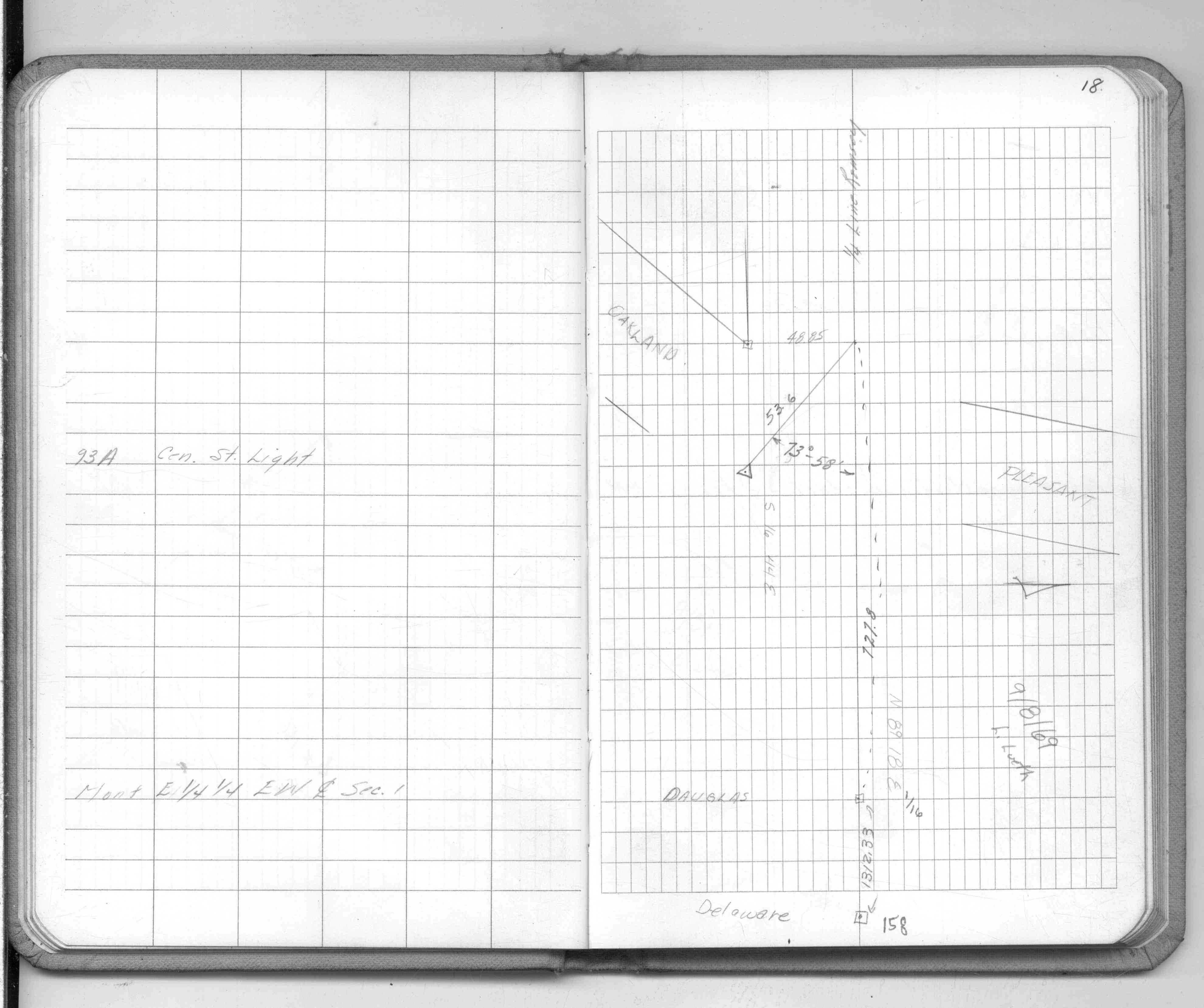
| 4/1/1925 | (Unknown date Apr __, 1925 ) Placed ties. See FB 1132 p.7 |
| 10/7/1847 | James M Marsh deputy surveyor set post. Tied to 2 BTs. See JM p.073-074 border |
Above is NOT an all inclusive history of this point. Please review all the links below.
| PLS NOTES | Field | Cross Section | Sewer | J.B. Irvine | Monument | River Survey |
|---|---|---|---|---|---|---|
| JM p.073-074 | FB 0170p.102-103 | |||||
| FB 0187p.079-080 | ||||||
| FB 0193p.01 | ||||||
| FB 0265p.78 | ||||||
| FB 0350p.39 | ||||||
| FB 1132p.07 | ||||||
| FB 1170p.68 | ||||||
| FB 1234Bp.09 | ||||||
| FB 1362p.08 | ||||||
| FB 1362p.08 | ||||||
| FB 1389p.70 | ||||||
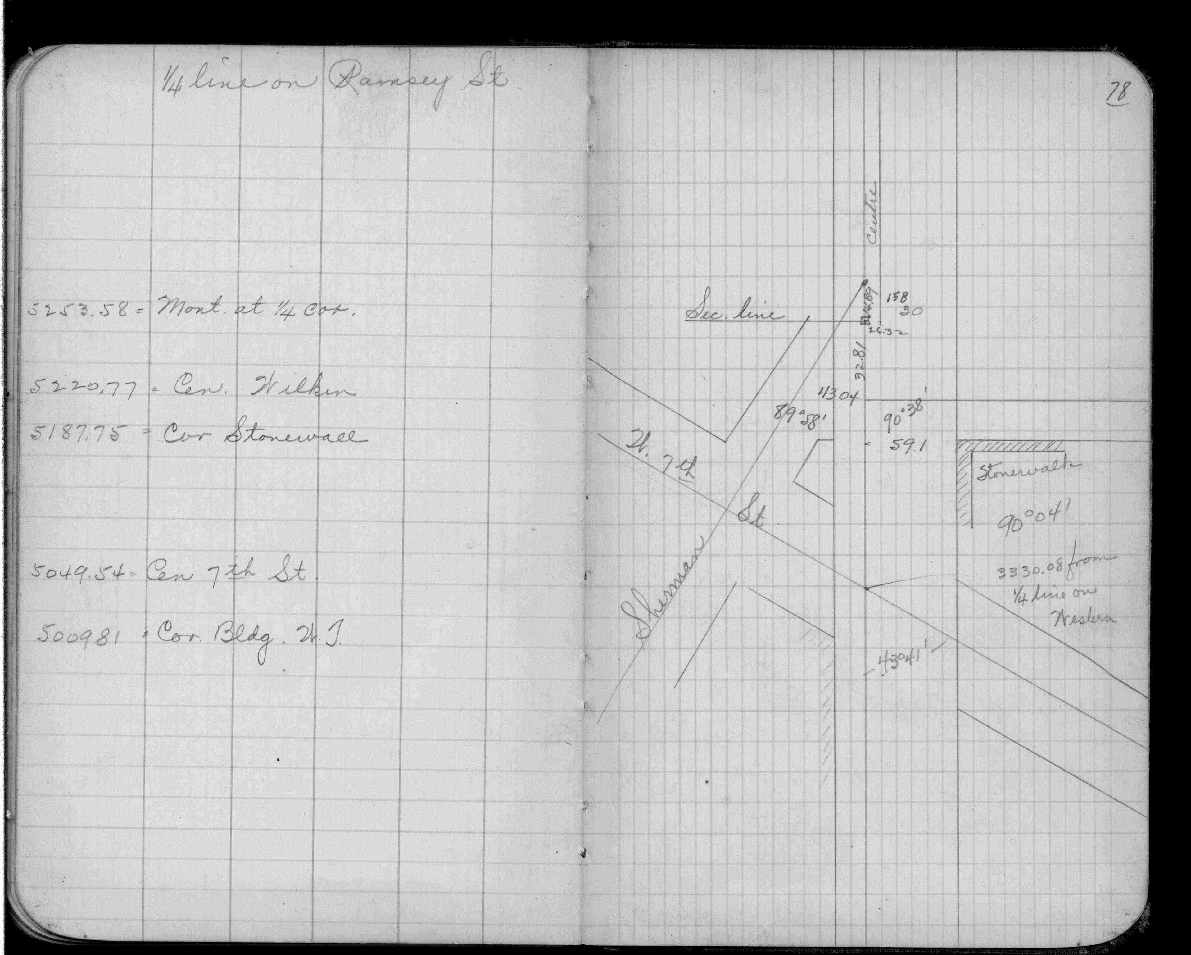
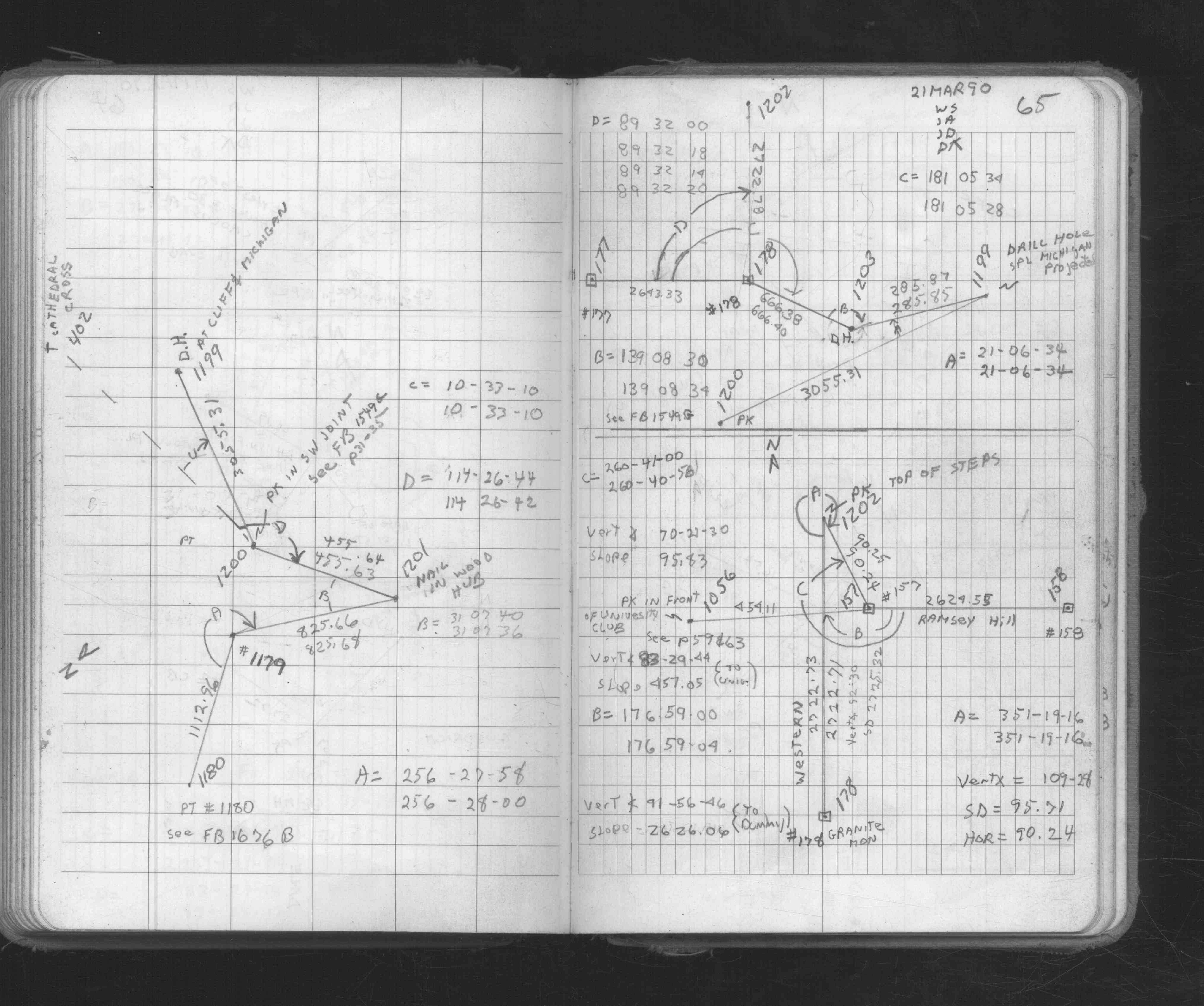
| FB 1549Cp. 18 ,22 | ||||||
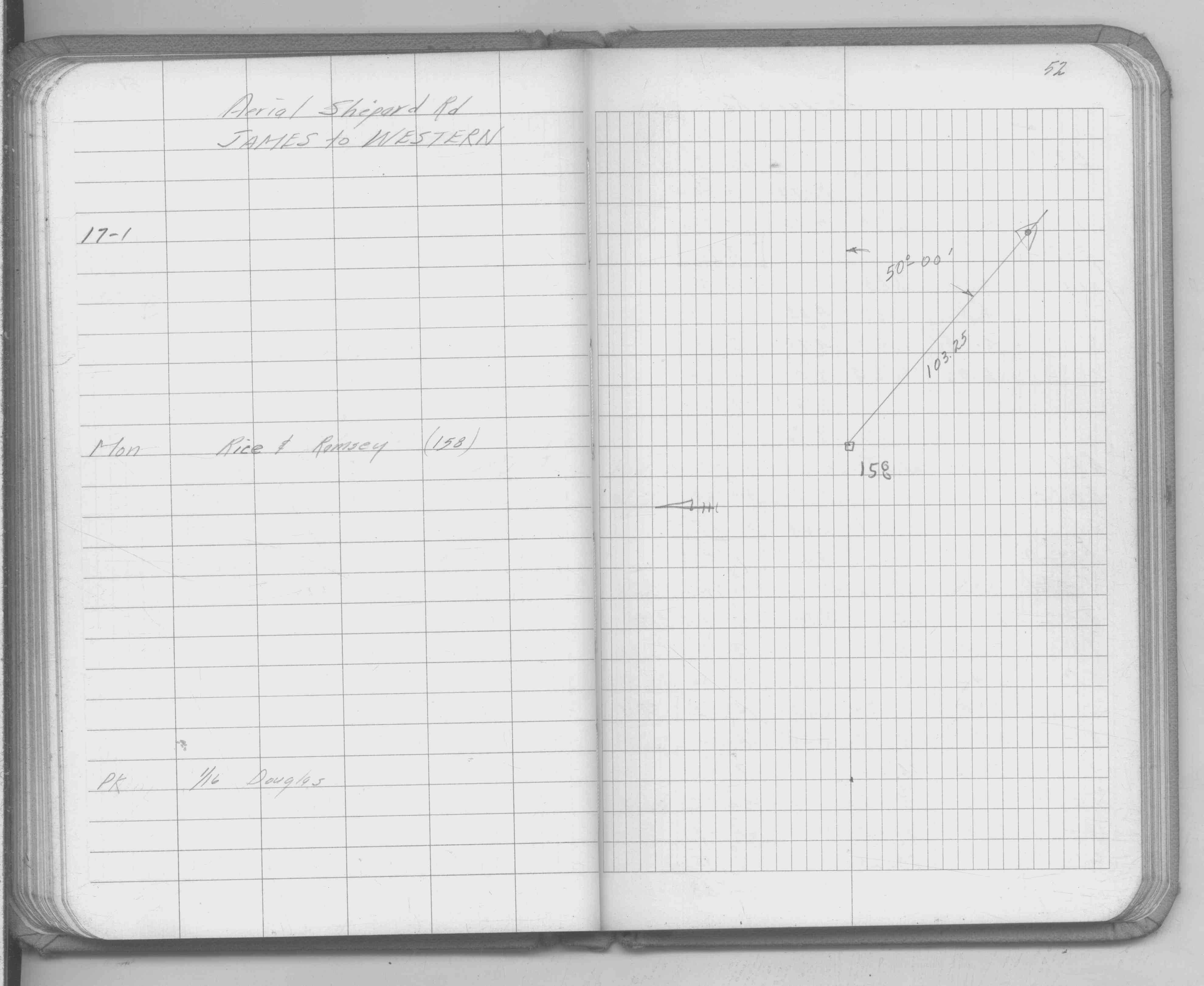
| FB 1549Ep.52 | ||||||
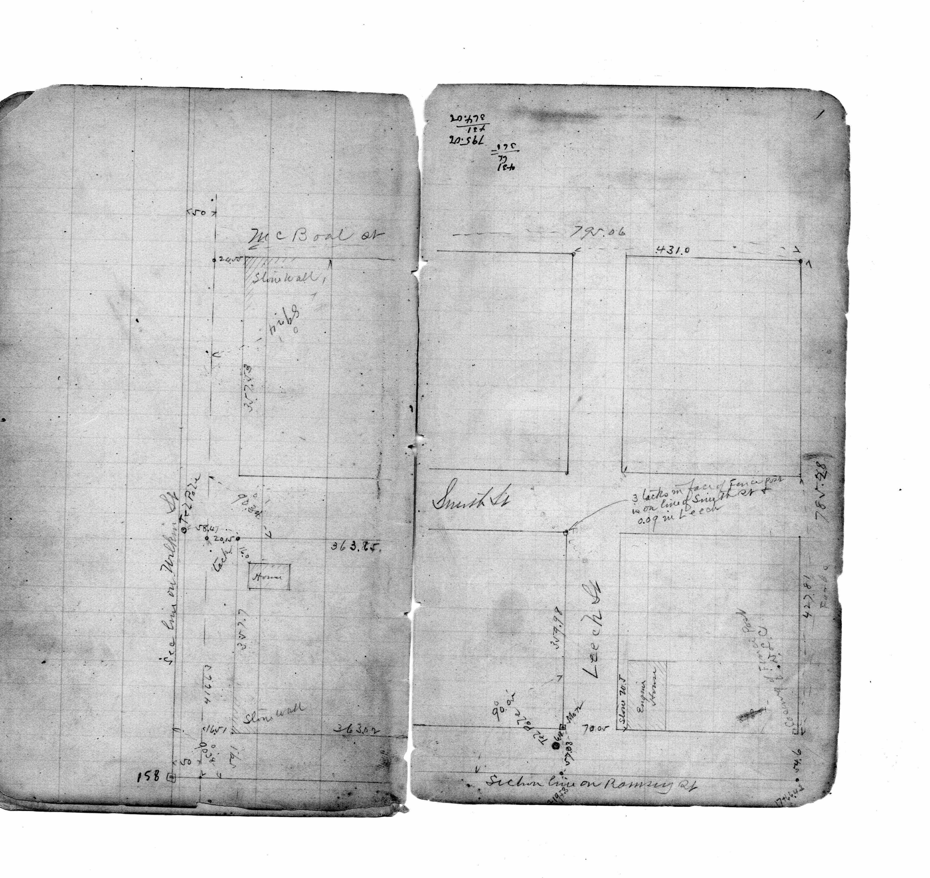
| FB 1634Cp.76 | ||||||
| FB 1673Ap. 65 ,68 ,69 | ||||||
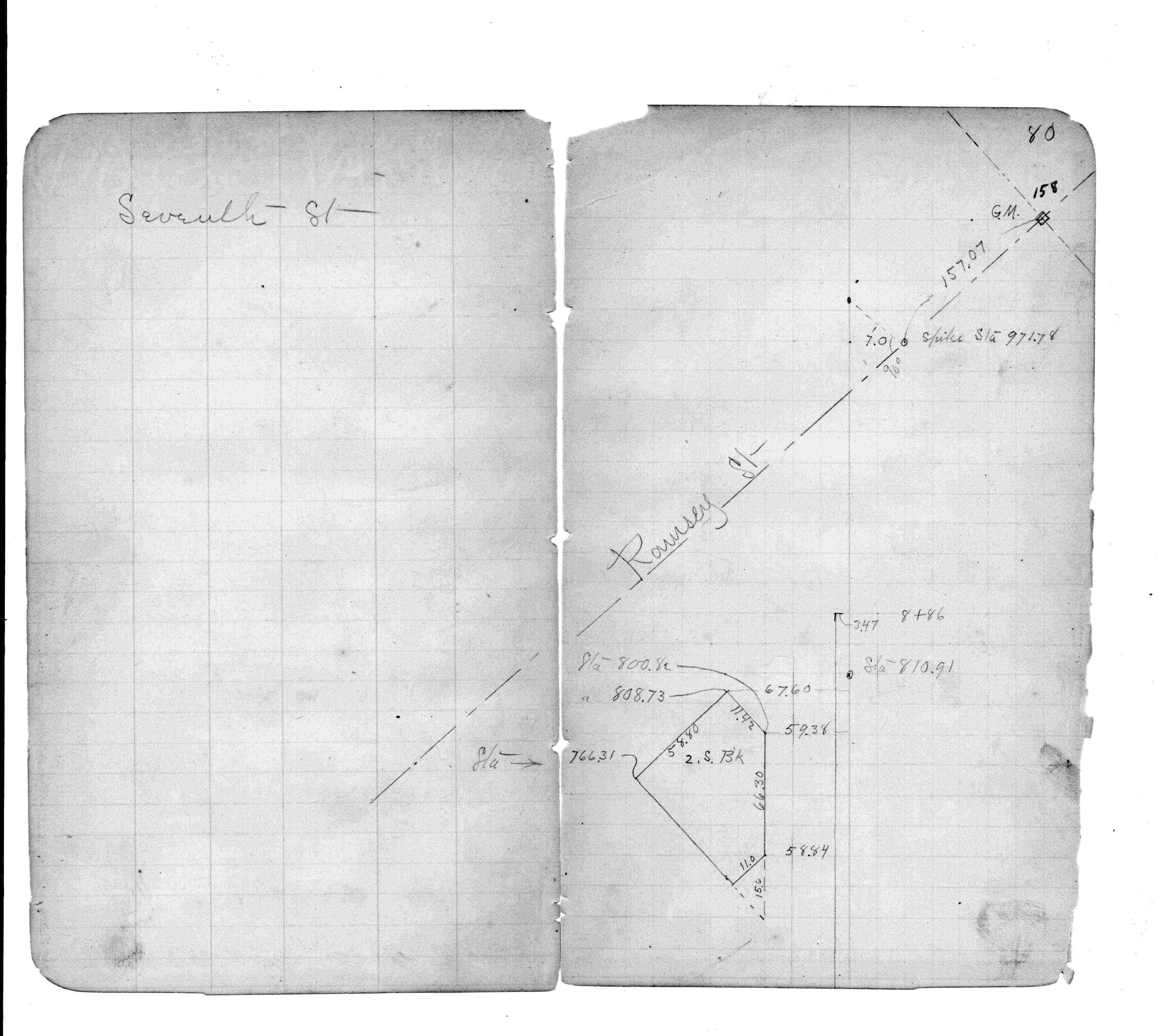
| FB 1676Ap.73 | ||||||
| FB 1689Ap.22 | ||||||
| FB 1736p.47 |
| FILE | SURVEYOR | LIC. NO. | DATE SIGNED | DATE TIED |
|---|---|---|---|---|
| 0158-__ey-B.tif | Michael P. Murphy | 41001 | April 7, 2004 | March 30, 2004 |
| 0158-__ey-A.tif | Jeffery L. Grosso | 13144 | April 20, 2000 | March 8, 2000 |
| ST_157-234p158.jpg | none | none | none | none |
| 0158-__ey-A.dwf | none | none | none | none |
| FILE | PHOTO DATE | COMMENTS |
|---|---|---|
| 0158-__ey-6.jpg | March 23, 2004 | Close up of Cast Iron Monument. |
| 0158-__ey-5.jpg | March 23, 2004 | Close up of Cast Iron Monument. |
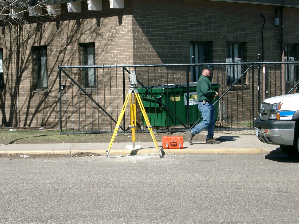
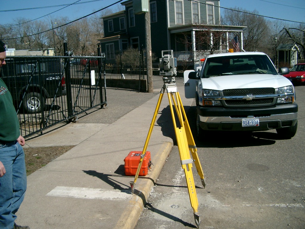
| 0158-__ey-4.jpg | March 23, 2004 | Looking Westerly. |
| 0158-__ey-3.jpg | March 23, 2004 | Looking Westerly. |
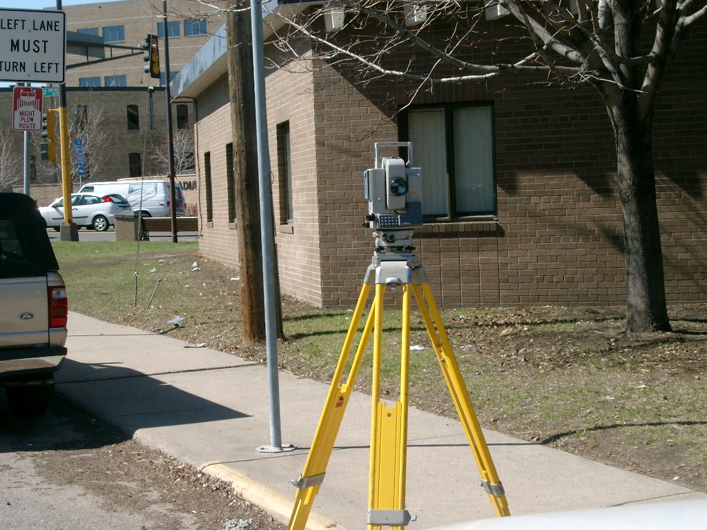
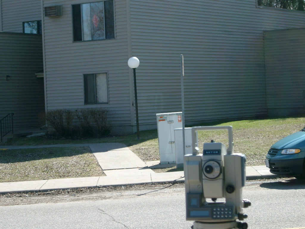
| 0158-__ey-2.jpg | March 23, 2004 | Looking East. |
| 0158-__ey-1.jpg | March 23, 2004 | Looking Southeast. |