| NAD83 COORDINATES (1986 adj.): |
|---|
| * X= 553384.215 Y= 152272.329 Z= 000.00 LSQ 12/06/1991 S FIX |
| 10/17/2011 | Monument removed during reconstruction of Fairview Ave. CIM replaced and set to grade. Photos taken and ties placed. |
| 3/11/2008 | Fd CIM and read Elev. 223.574 Loop No. 260 |
| 6/26/2004 | Photos taken. No GM found below broken CIM. See CofL 0172-1289-B |
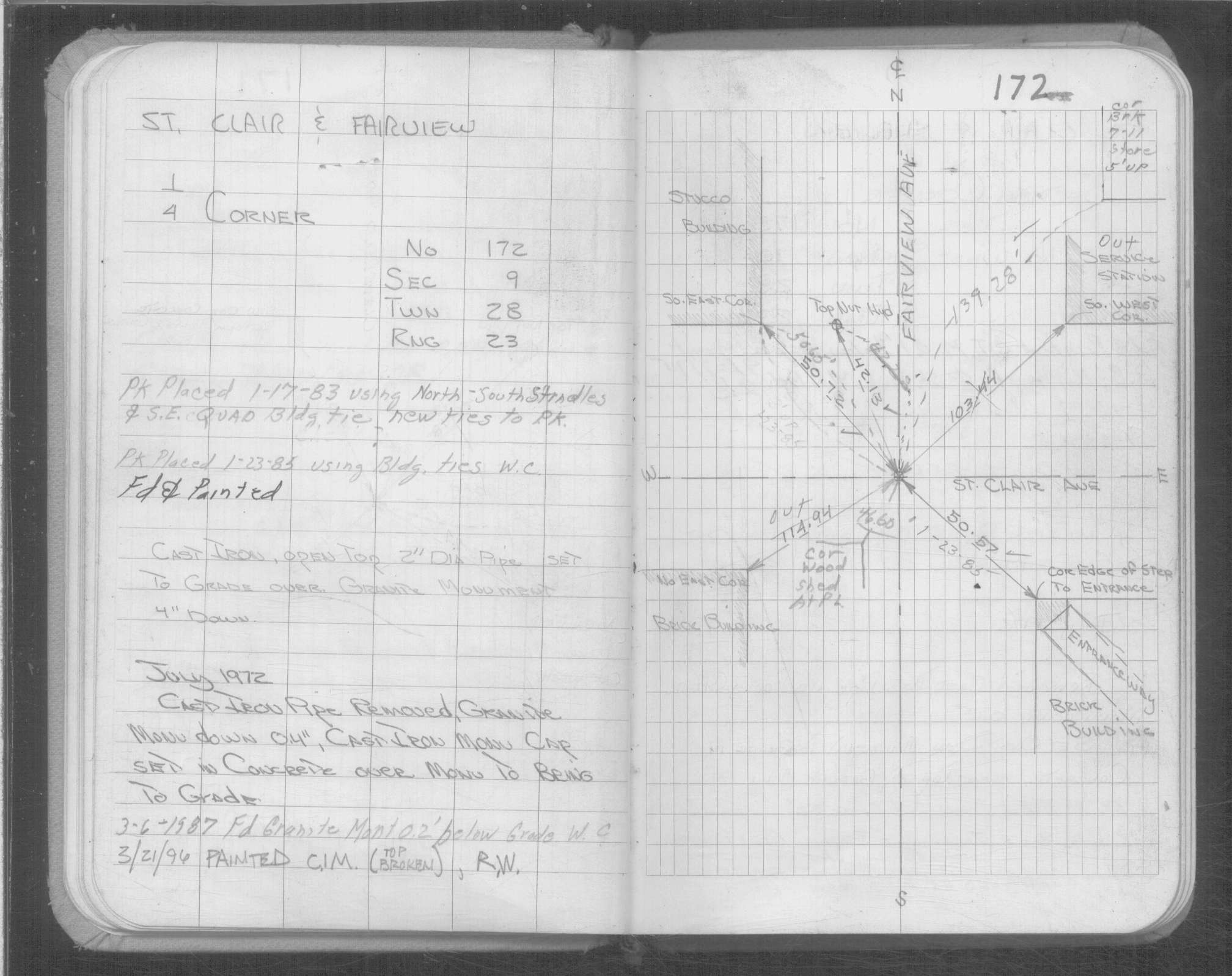
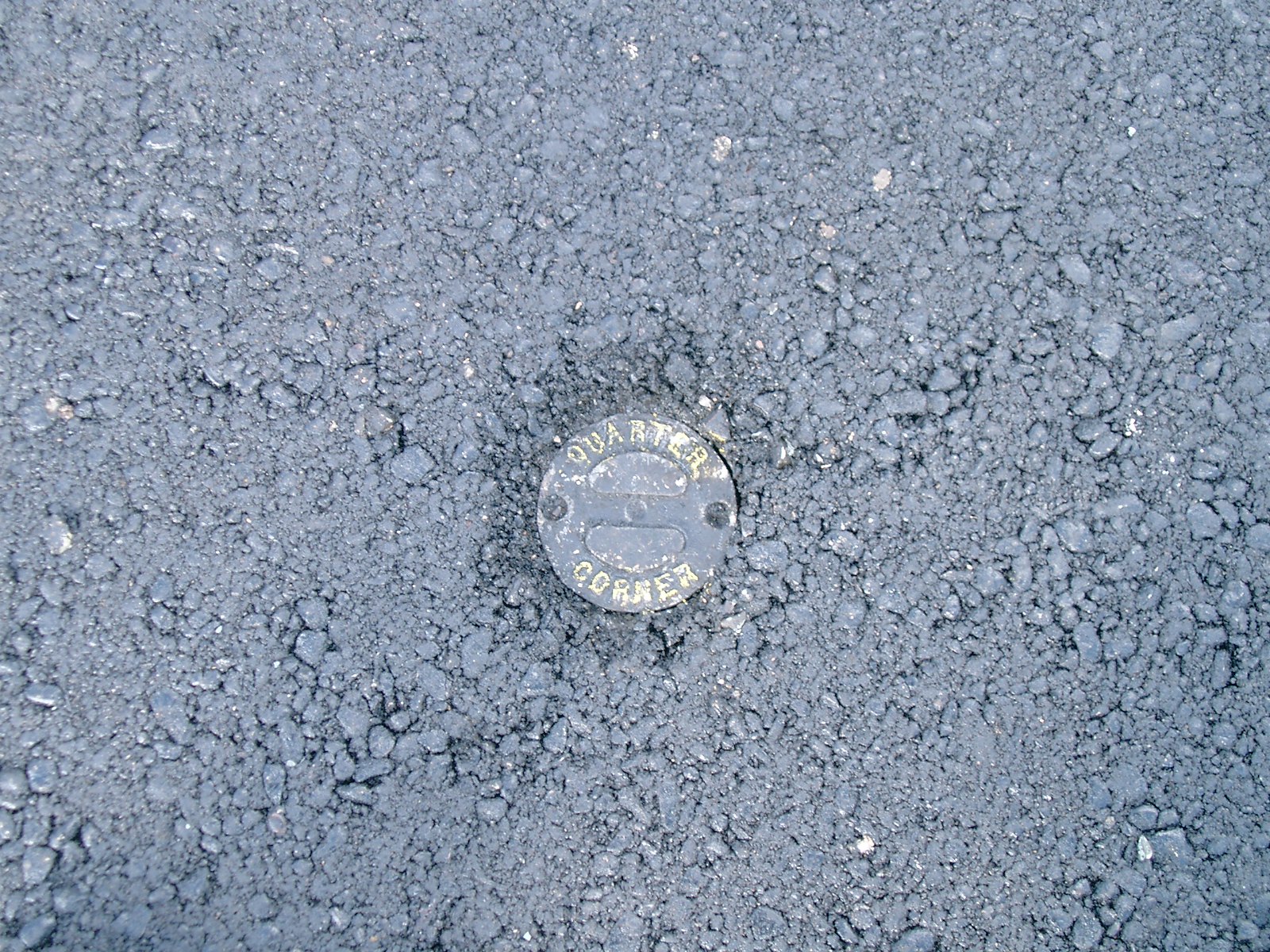
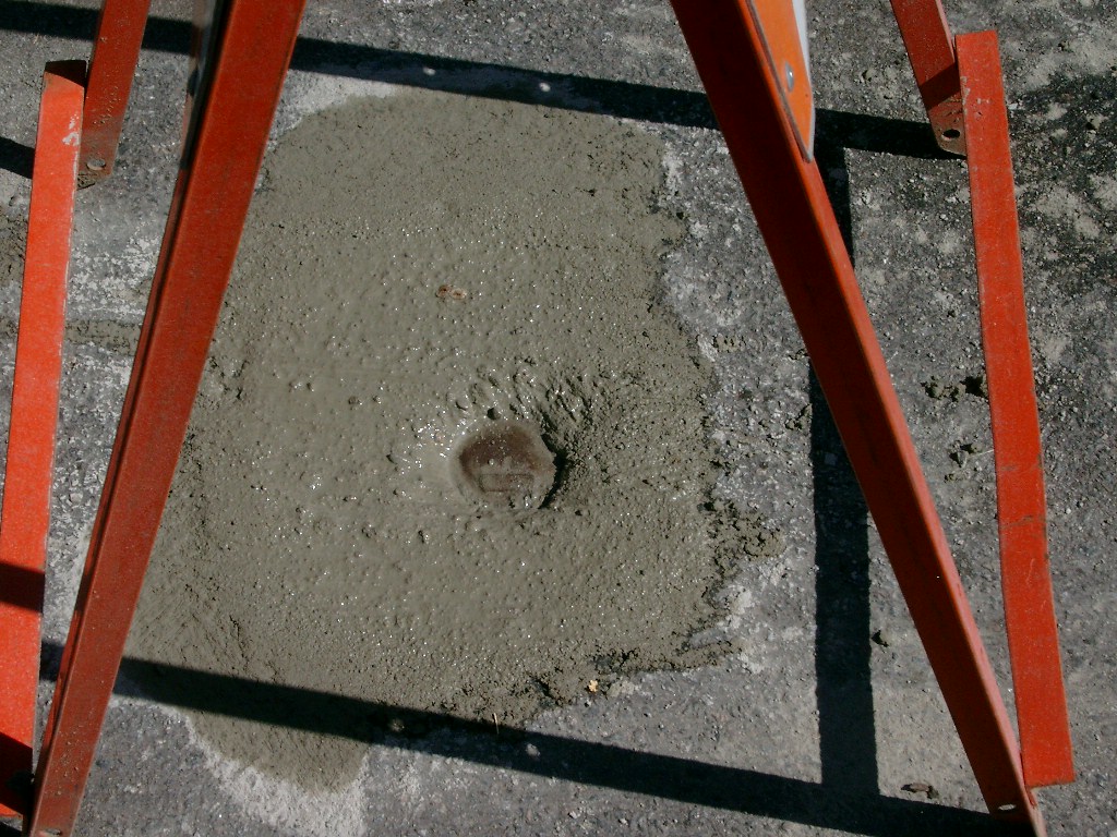
| 6/26/2004 | Fd broken CIM 0.2 ft below grade. Replace with new CIM labeled "St Paul Surveyors" 0.04 below grade. |
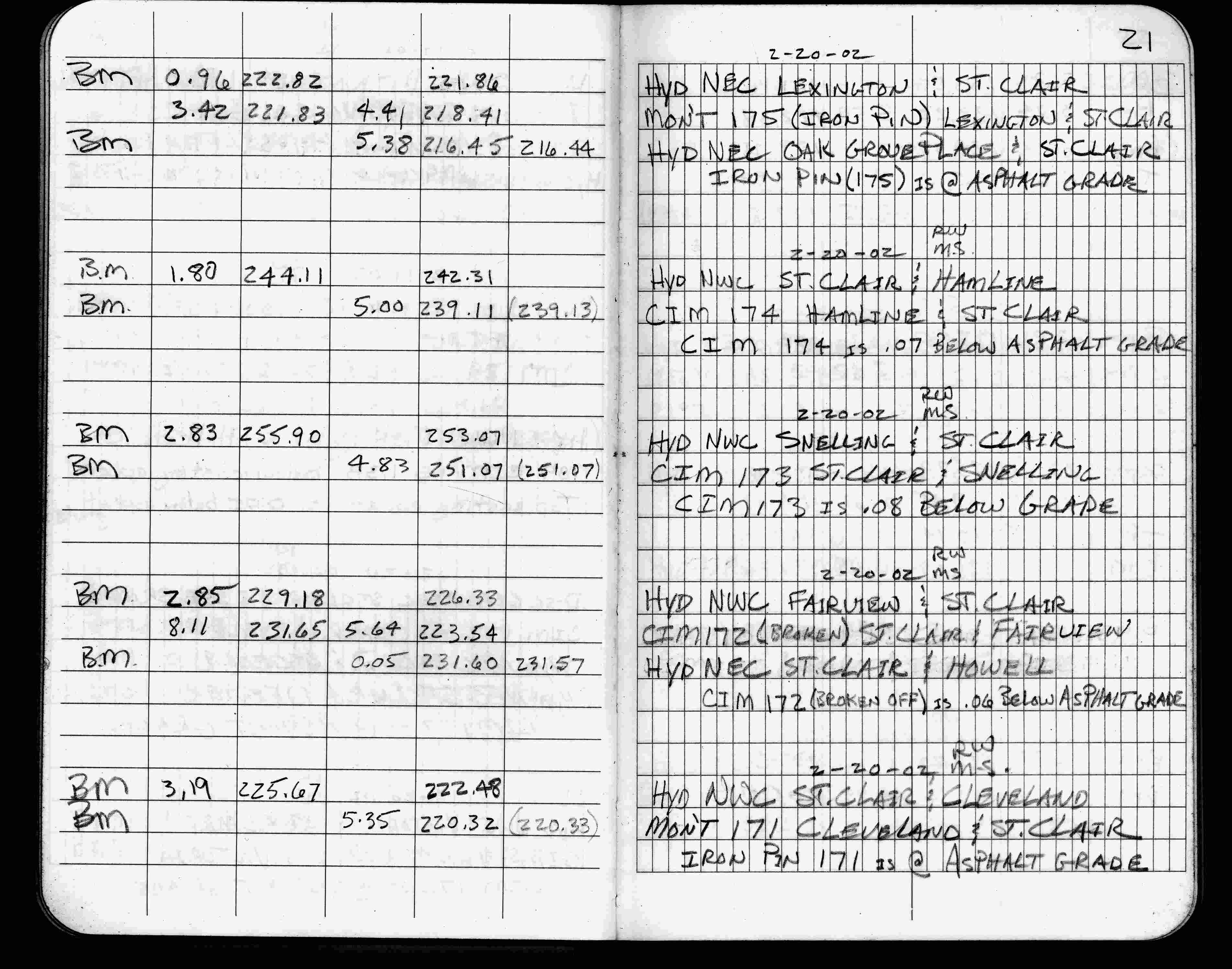
| 2/20/2002 | Elev 223.54 ft on broken CIM 0.06 ft below asphalt surface. See FB 1736 p.21 |
| 3/1/2000 | (Unknown date Mar __, 2000 ) Fd CIM sheared off, placed 4-2 ft straddles (marked for painting target for 2000 aerial) |
| 3/21/1996 | Fd CIM (top broken). See Yellow Tie Book. |
| 3/6/1987 | Fd GM 0.2 ft below grade. See Yellow Tie Book. |
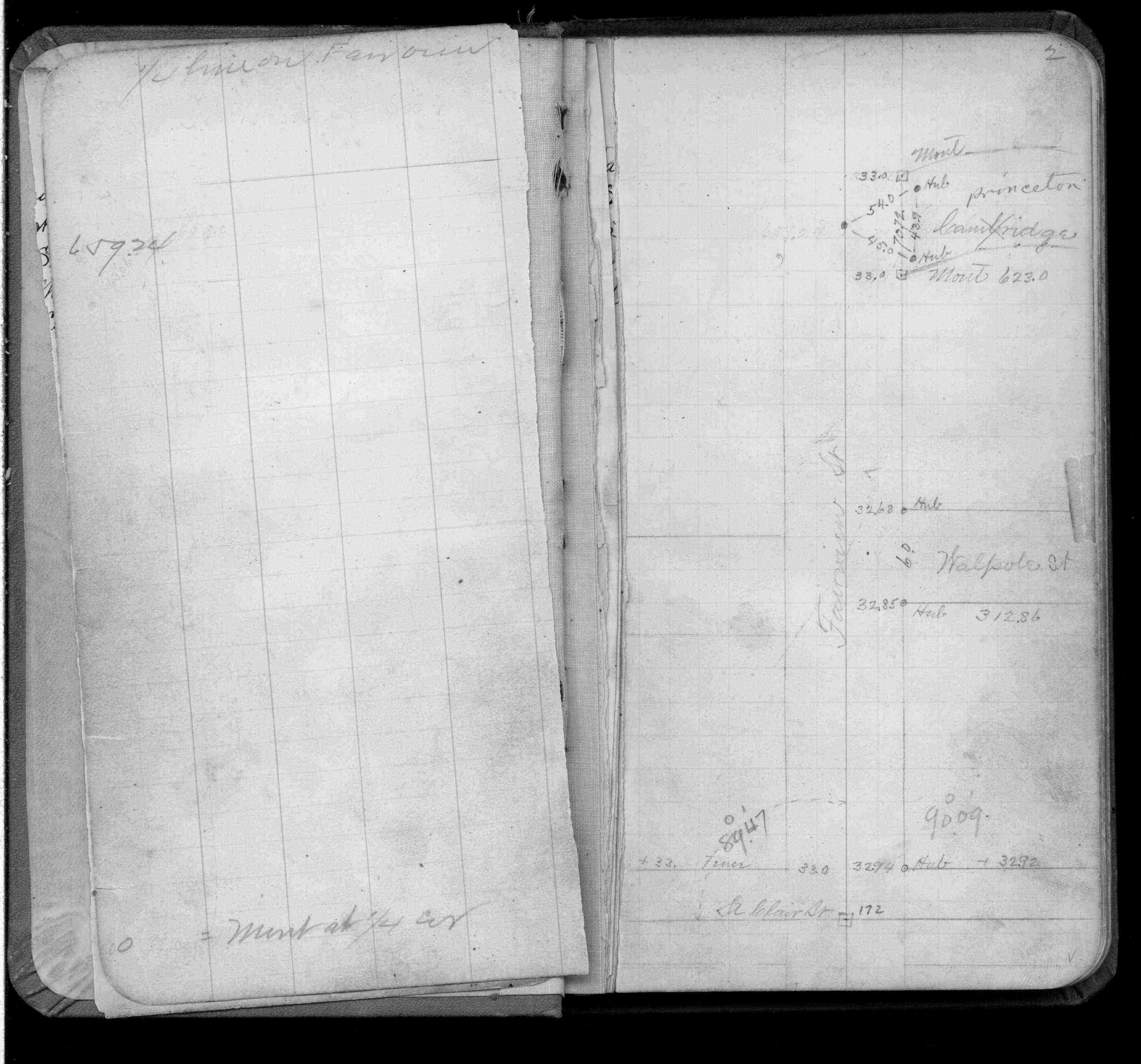
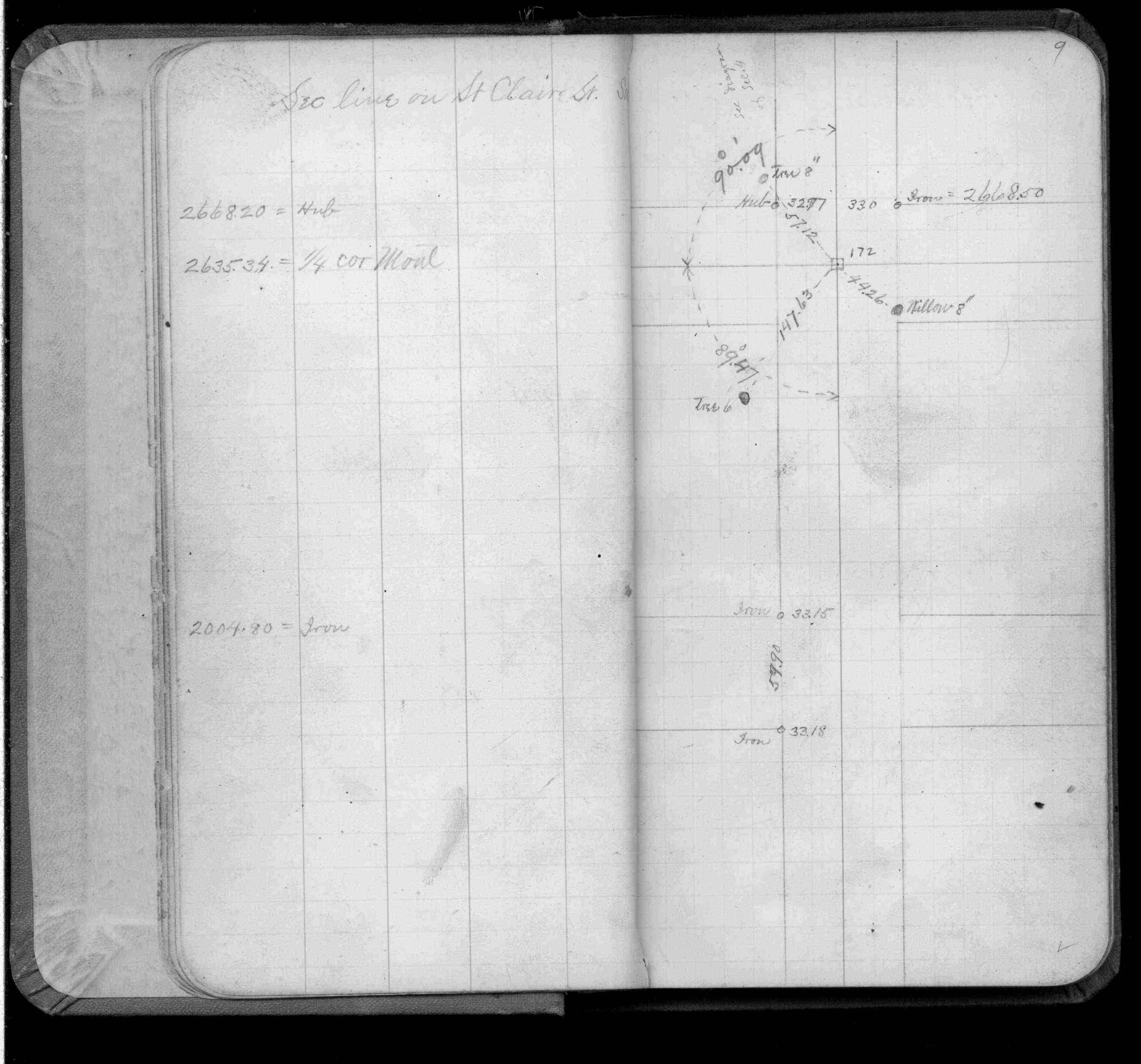
| 2/1/1985 | (Unknown date Feb __, 1985 ) Elev 223.87 ft on ?. See FB 892F p.12 |
| 1/1/1985 | (Unknown date ___ __,1985 ) Historic, one time only GPS survey = S082 |
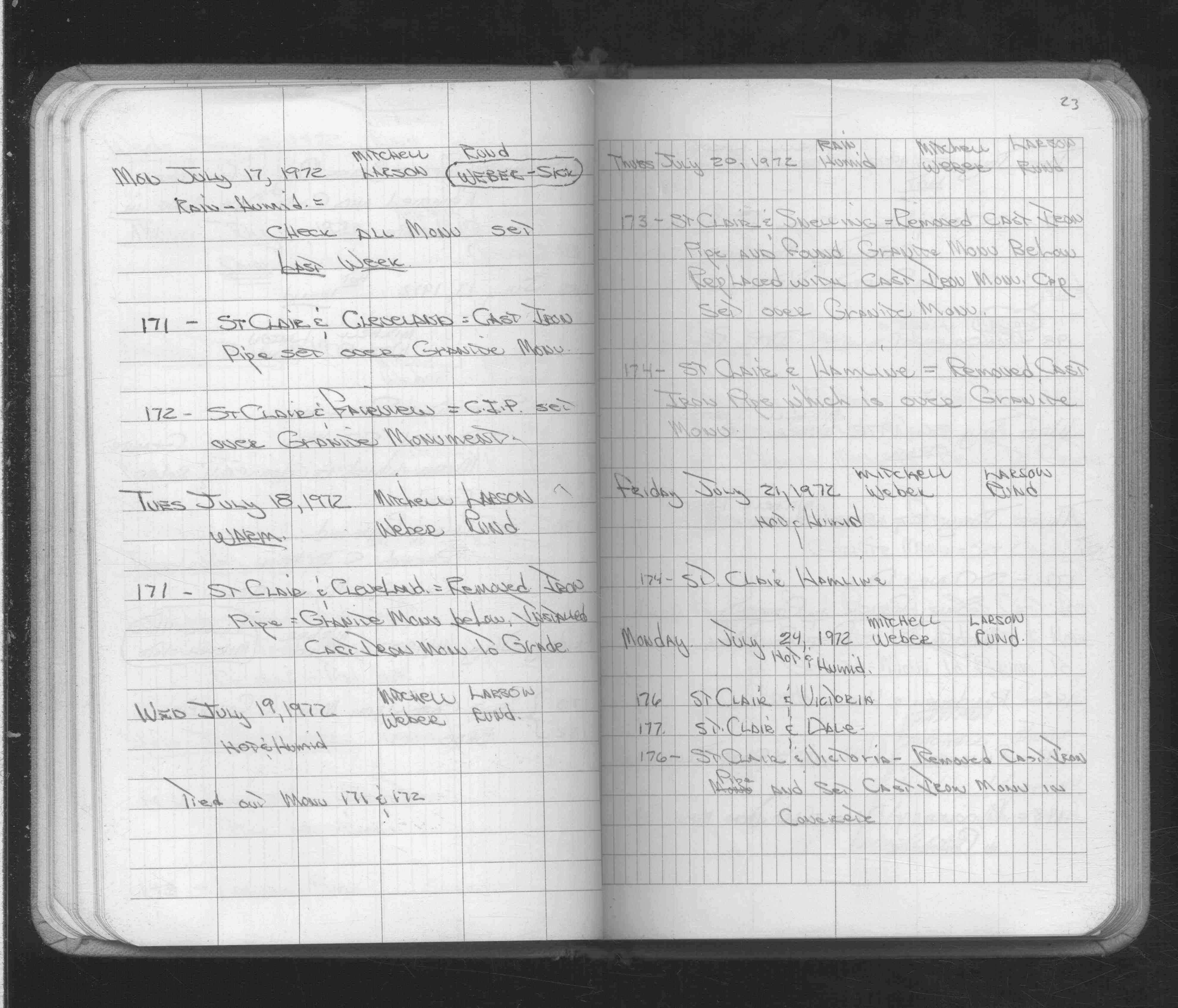
| 7/19/1972 | Placed ties. See 1689A p.23 |
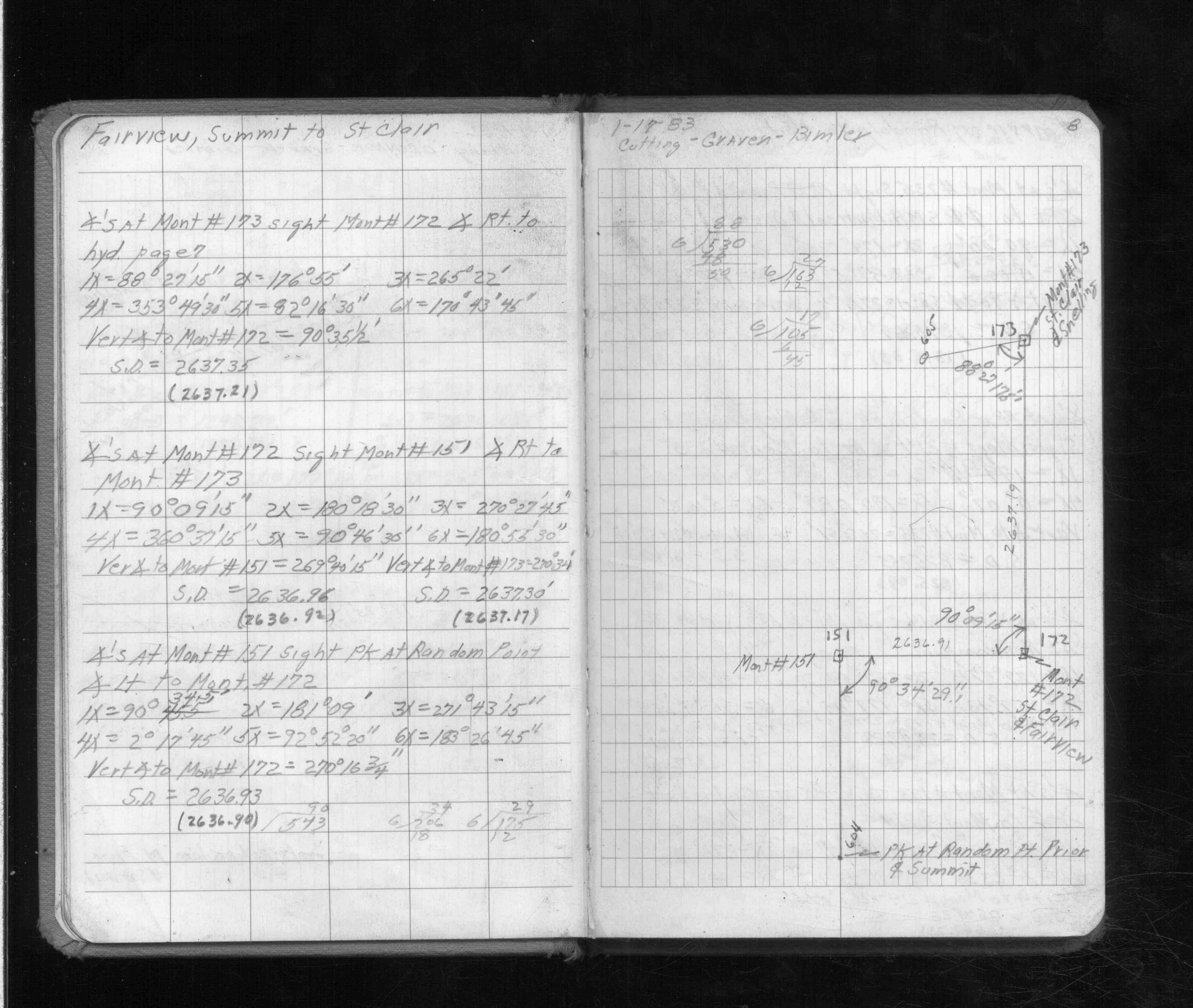
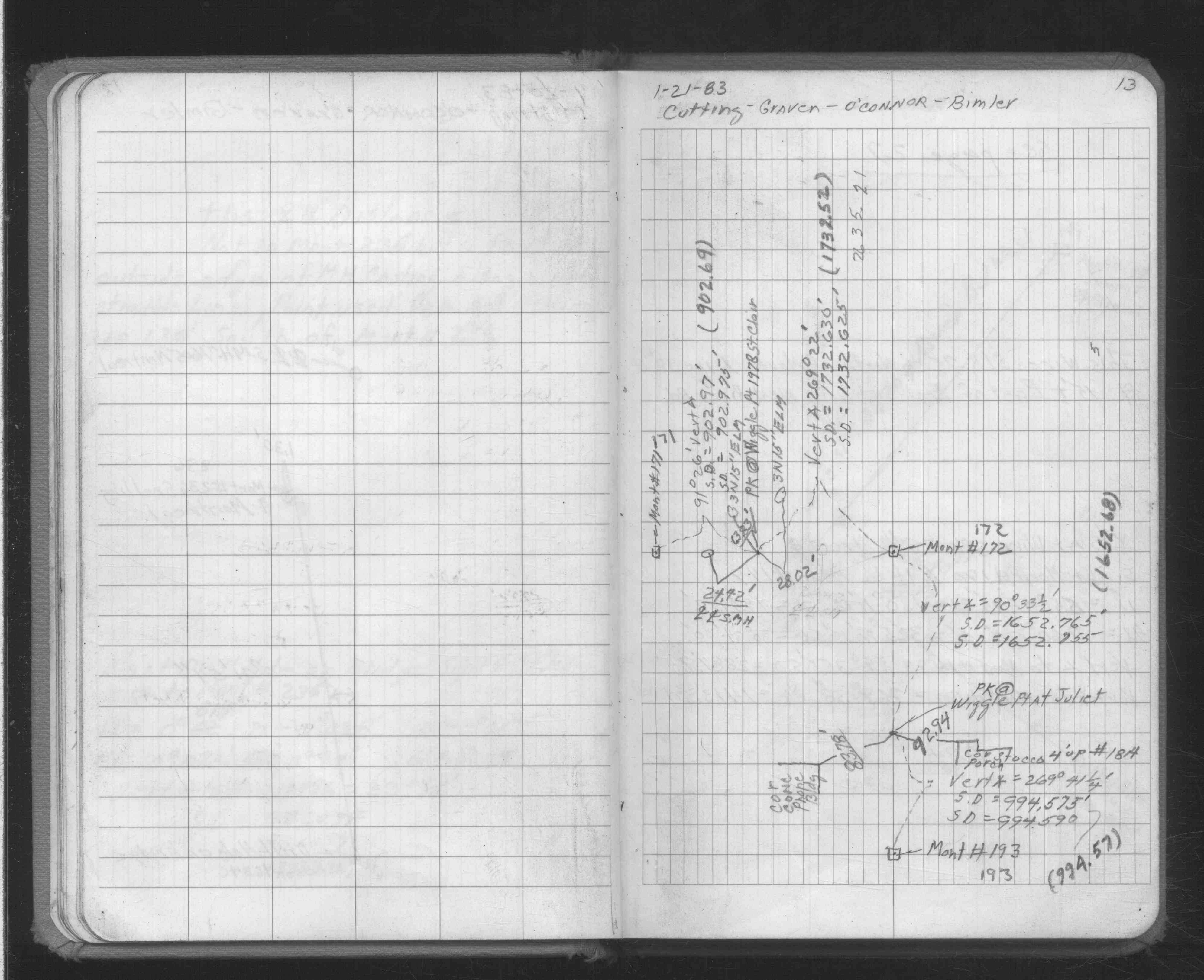
| 7/17/1972 | Fd GM 4" below grade, set 2" dia CI pipe over GM. See Yellow Tie Book & See FB 1689A p.23 |
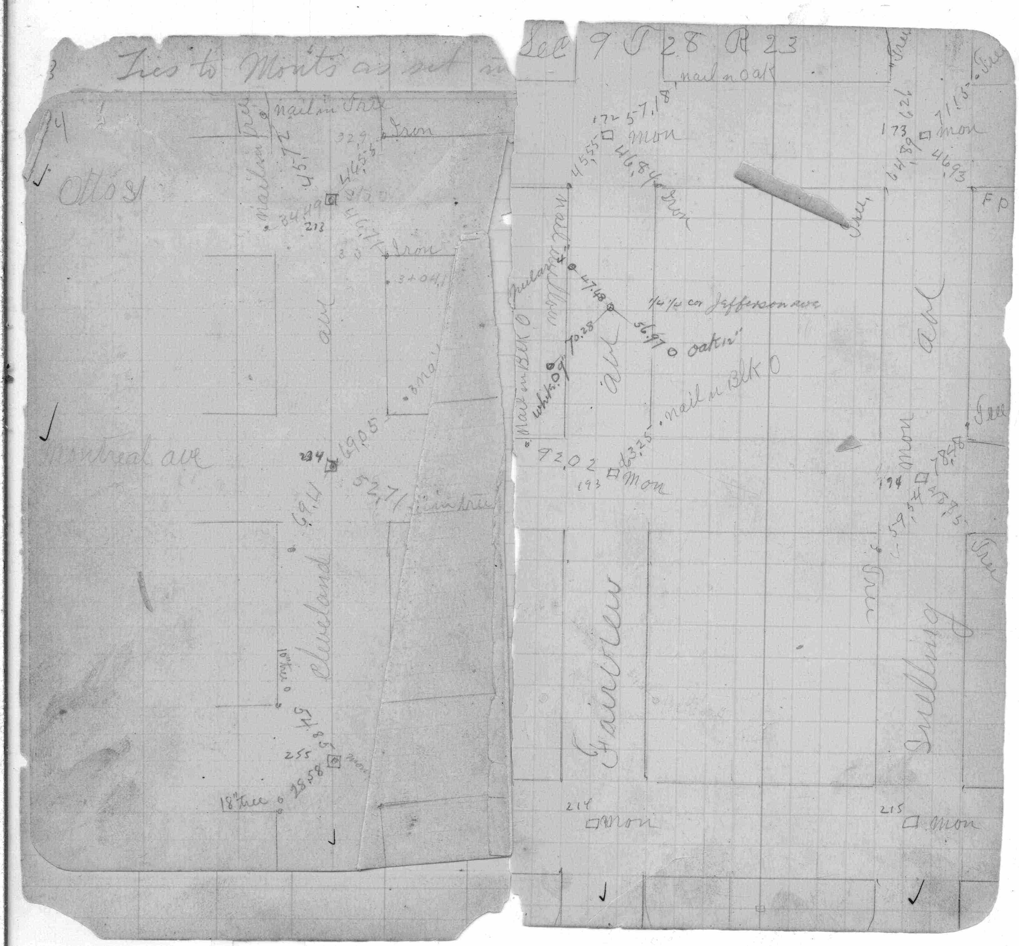
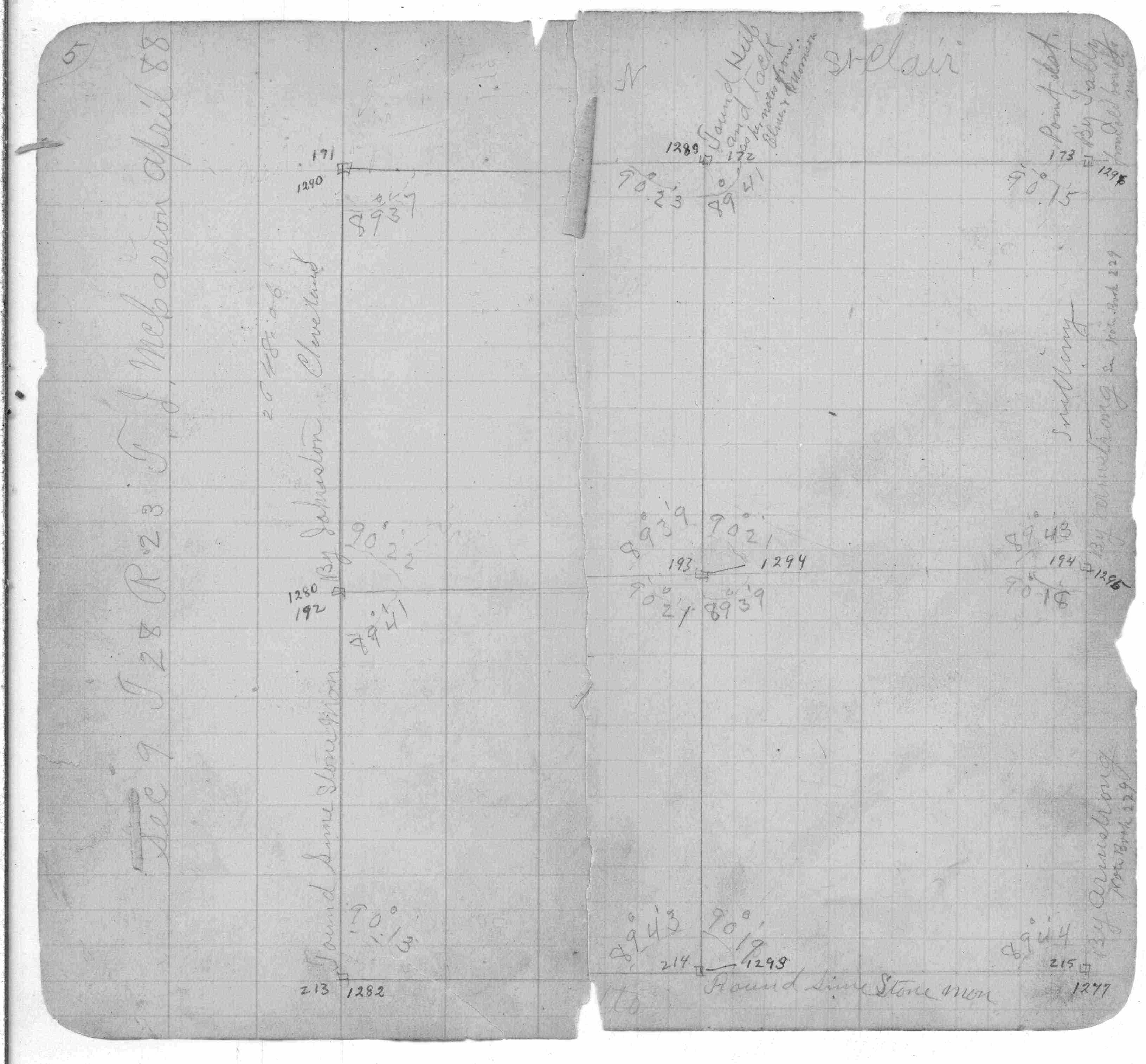
| 3/1/1888 | (Unknown date Mar __, 1888 ) Monument set by McCarron in place of hub found from notes given by Elmer & Morrison. See FB 250 p.5 |
| 10/1/1847 | (Unknown date Oct __, 1847 ) Isaac N Higbee deputy surveyor set post. Tied to 1 BT. See IH p.022-023 2823 |
Above is NOT an all inclusive history of this point. Please review all the links below. Yellow Tie Books are 'ST' in the Monument category.
| PLS NOTES | Field | Cross Section | Sewer | J.B. Irvine | Monument | River Survey |
|---|---|---|---|---|---|---|
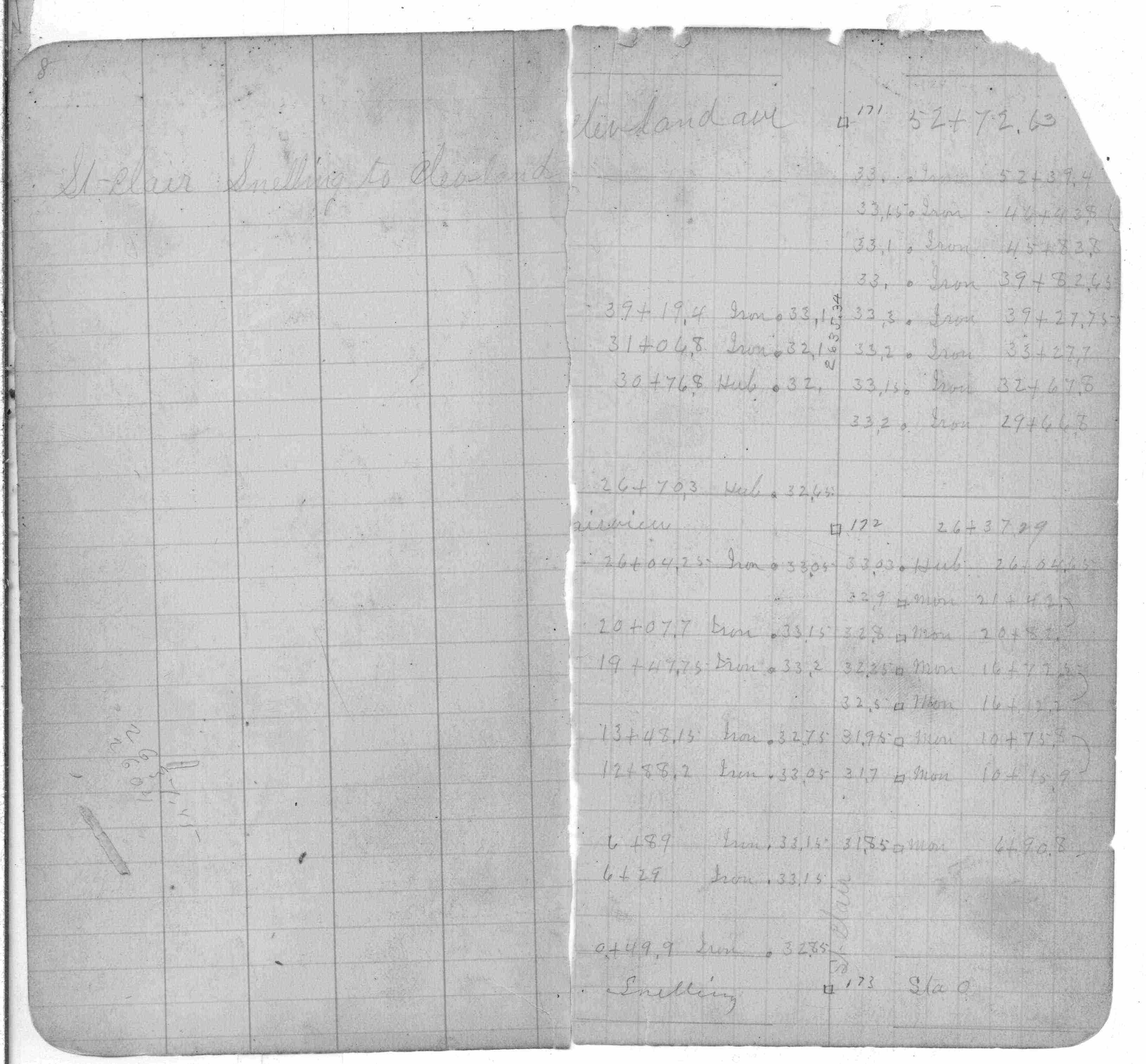
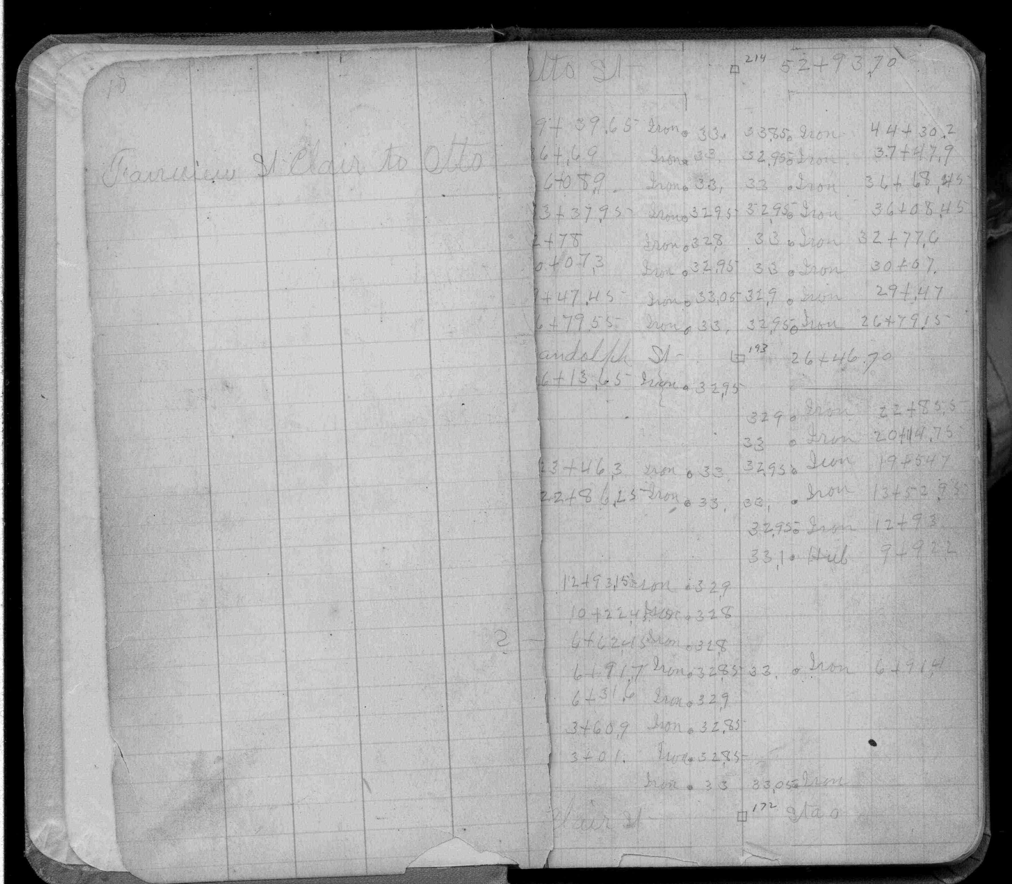
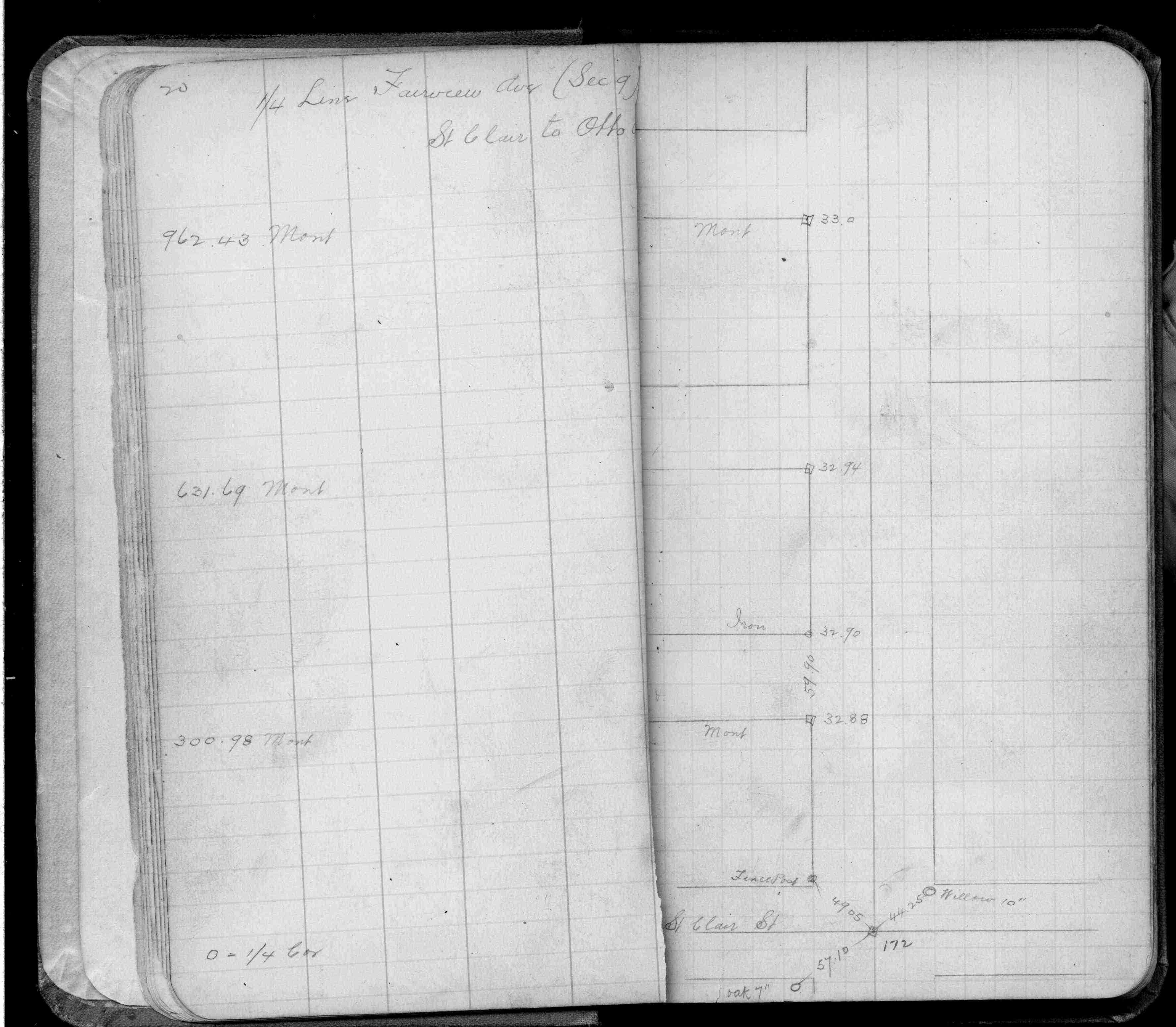
| IH p.022-023 | FB 0250CPYp. 04 ,05 ,08 ,10 ,20 | ST 157-234 p.172 | ||||
| FB 0257p. 05 ,08 ,28 | ||||||
| FB 0329p. 02 ,09 | ||||||
| FB 0892Fp.12 | ||||||
| FB 1216p.29 | ||||||
| FB 1456p.16 | ||||||
| FB 1689Ap.23 | ||||||
| FB 1694p. 08 ,13 | ||||||
| FB 1736p.21 |
| FILE | SURVEYOR | LIC. NO. | DATE SIGNED | DATE TIED |
|---|---|---|---|---|
| 0172-1289-C.pdf | Samuel D. Gibson | 44880 | August 17, 2012 | August 24, 2011 |
| 0172-1289-B.tif | Michael P. Murphy | 41001 | June 9, 2004 | March 30, 2004 |
| ST_157-234p172.jpg | none | none | none | none |
| 0172-1289-A.dwf | none | none | none | none |
| FILE | PHOTO DATE | COMMENTS |
|---|---|---|
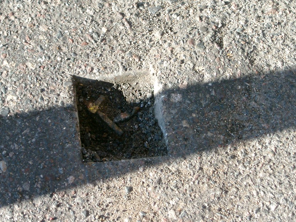
| 0172-1289-9.jpg | October 17, 2011 | Close up of monument. |
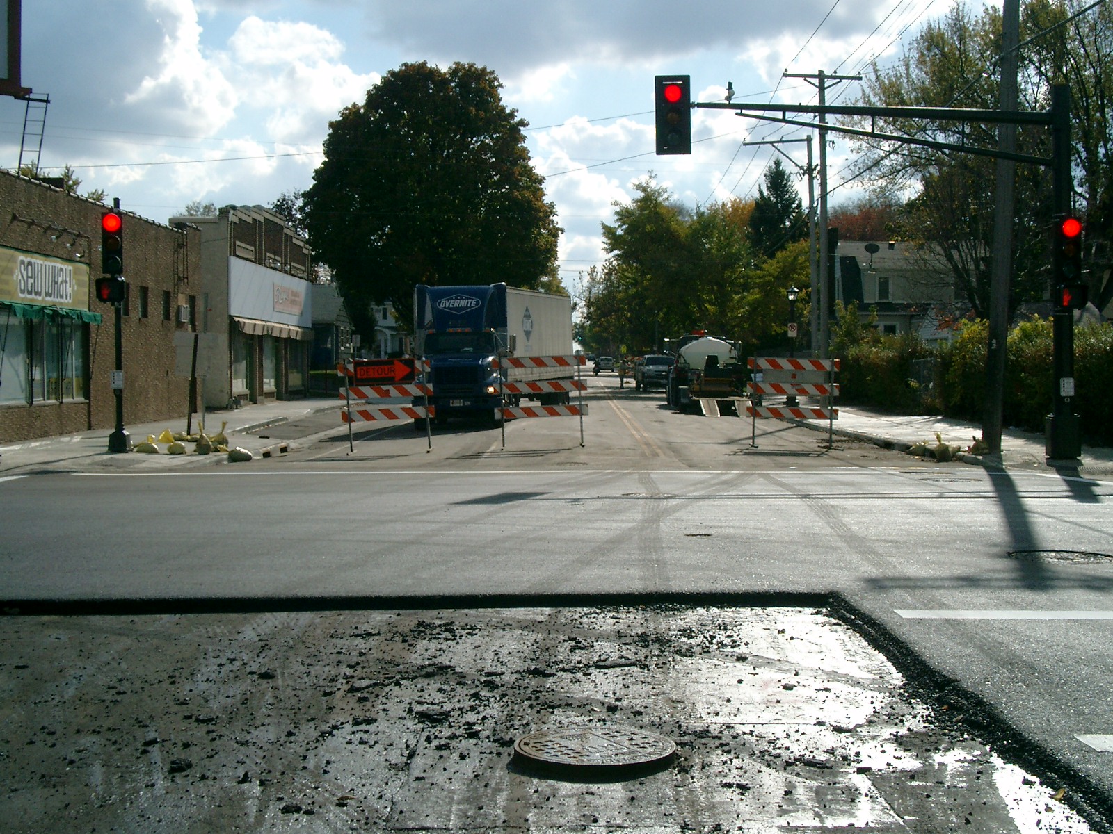
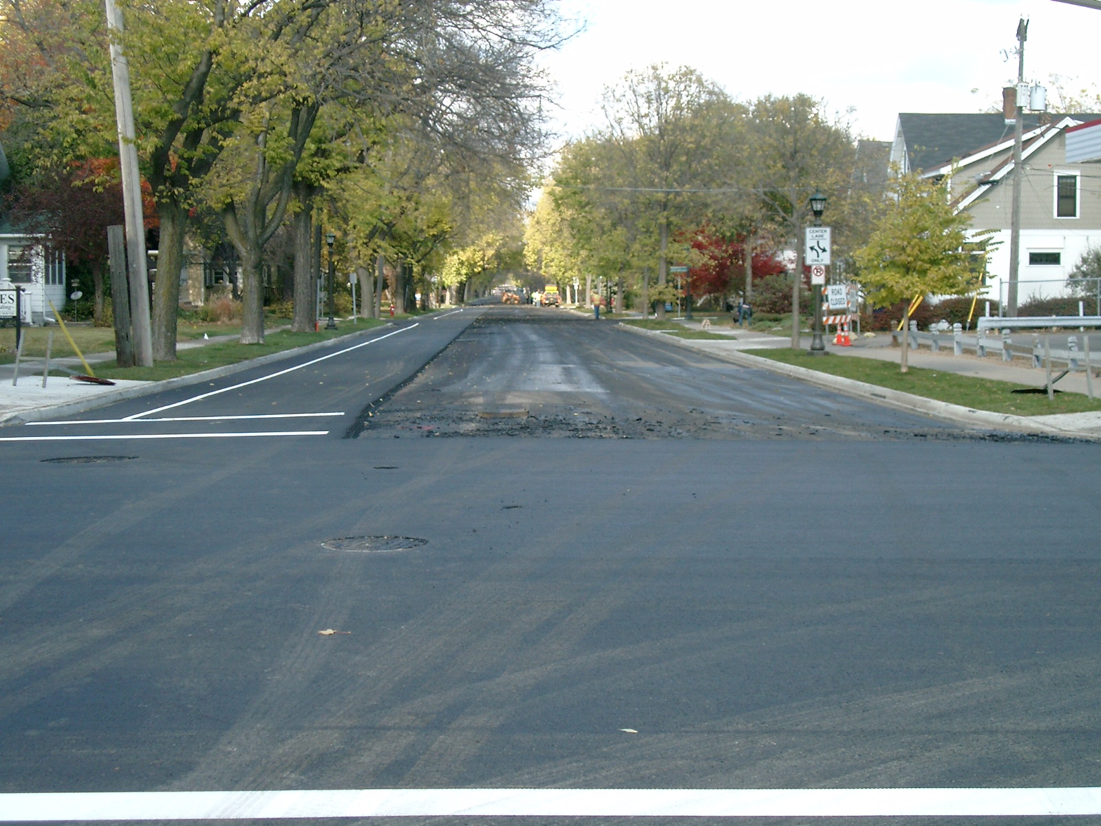
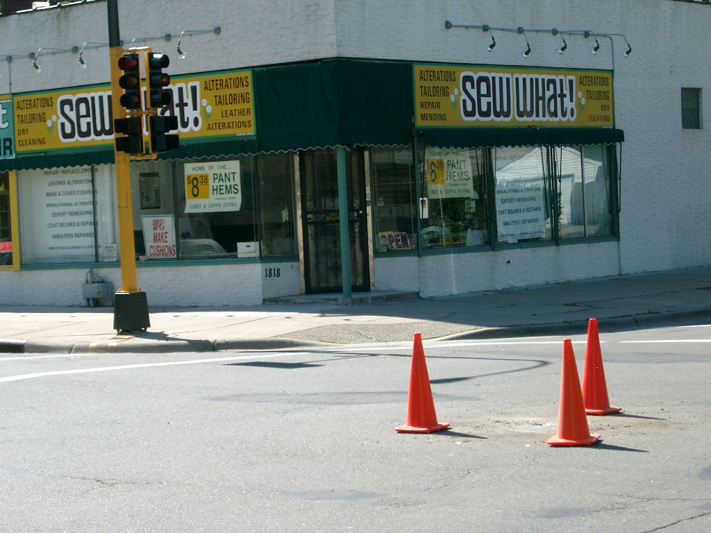
| 0172-1289-13.jpg | October 17, 2011 | Looking west along St Clair Ave. |
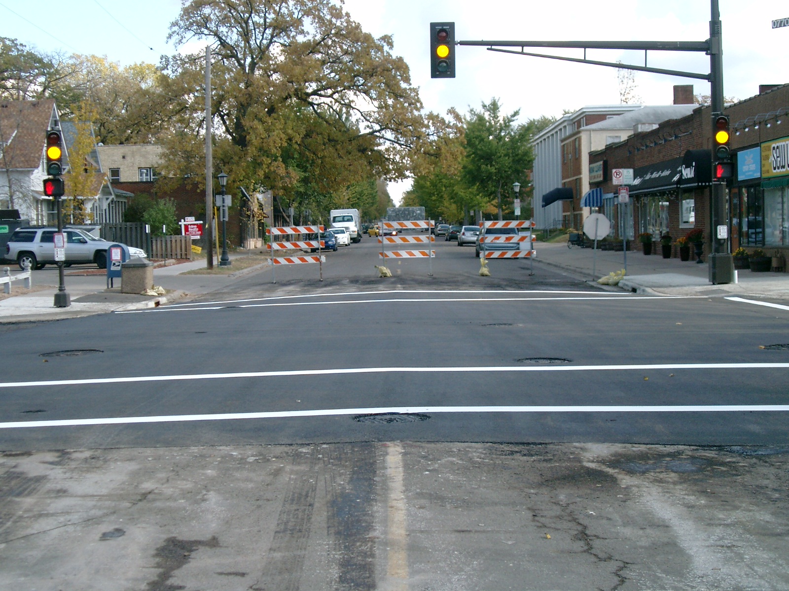
| 0172-1289-12.jpg | October 17, 2011 | Looking south along Fairview Ave. |
| 0172-1289-11.jpg | October 17, 2011 | Looking east along St Clair Ave. |
| 0172-1289-10.jpg | October 17, 2011 | Looking north along Fairview Ave. |
| 0172-1289-8.jpg | June 25, 2004 | Close up of CIM in concrete. |
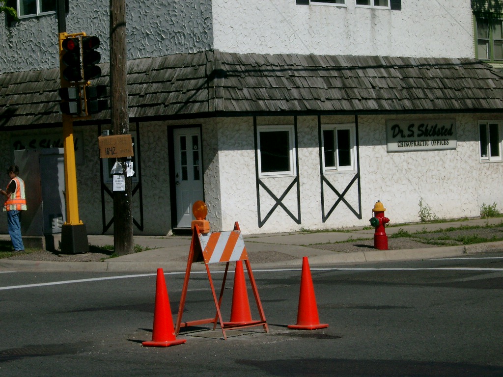
| 0172-1289-7.jpg | June 25, 2004 | Ties on power pole and signal base at SW corner of Fairview Ave & St Clair. |
| 0172-1289-5.jpg | June 25, 2004 | Tie on Stucco building corner at NW corner of Fairview Ave & St Clair |
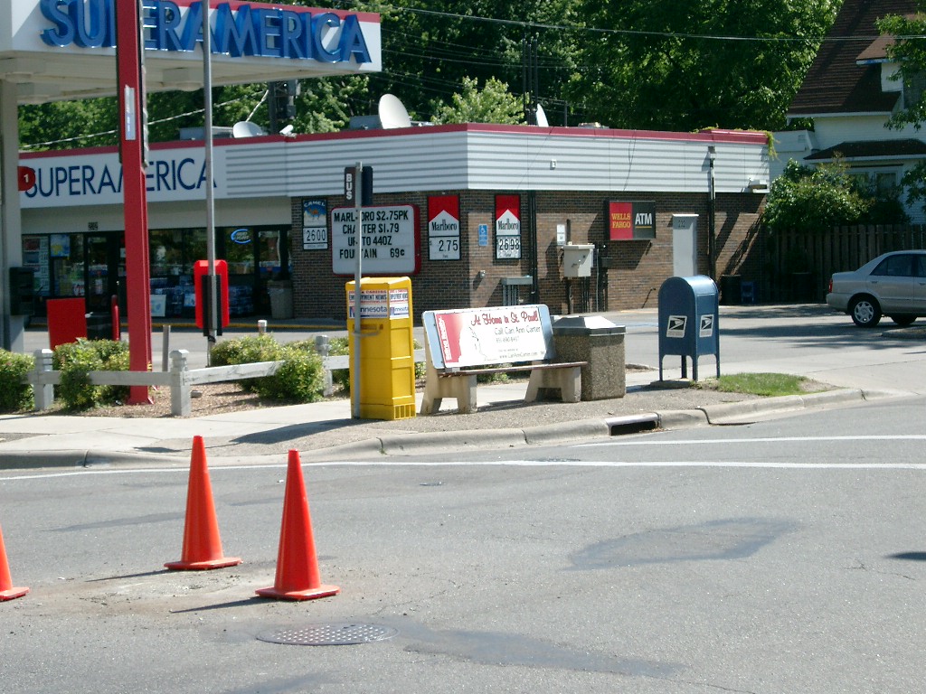
| 0172-1289-4.jpg | June 25, 2004 | Ties on S.A. building corner and steel sign post at NE corner of Fairview Ave & St Clair |
| 0172-1289-3.jpg | June 25, 2004 | Tie on round steel post at SW corner of Fairview Ave & St Clair |
| 0172-1289-1.jpg | June 25, 2004 | Close up of broken CIM. |