| NAD83 COORDINATES (1986 adj.): |
|---|
| * X= 548119.021 Y= 146961.502 Z= 000.00 LSQ 12/06/1991 S FIX |
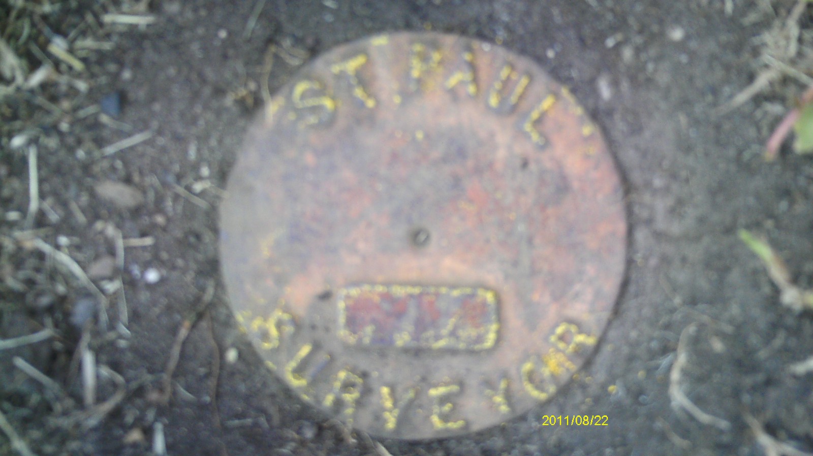
| 8/24/2011 | Fd CIM 0.1' below surface. "Survey Monument" marker sign nearby. Photos taken. |
| 3/4/2002 | Elev 115.32 ft on CIM on center island at grass surface. See FB 1736 p.29 |
| 3/1/2000 | (Unknown date Mar __, 2000 ) Fd CIM at grade in median, marked for painting target for 2000 aerial. |
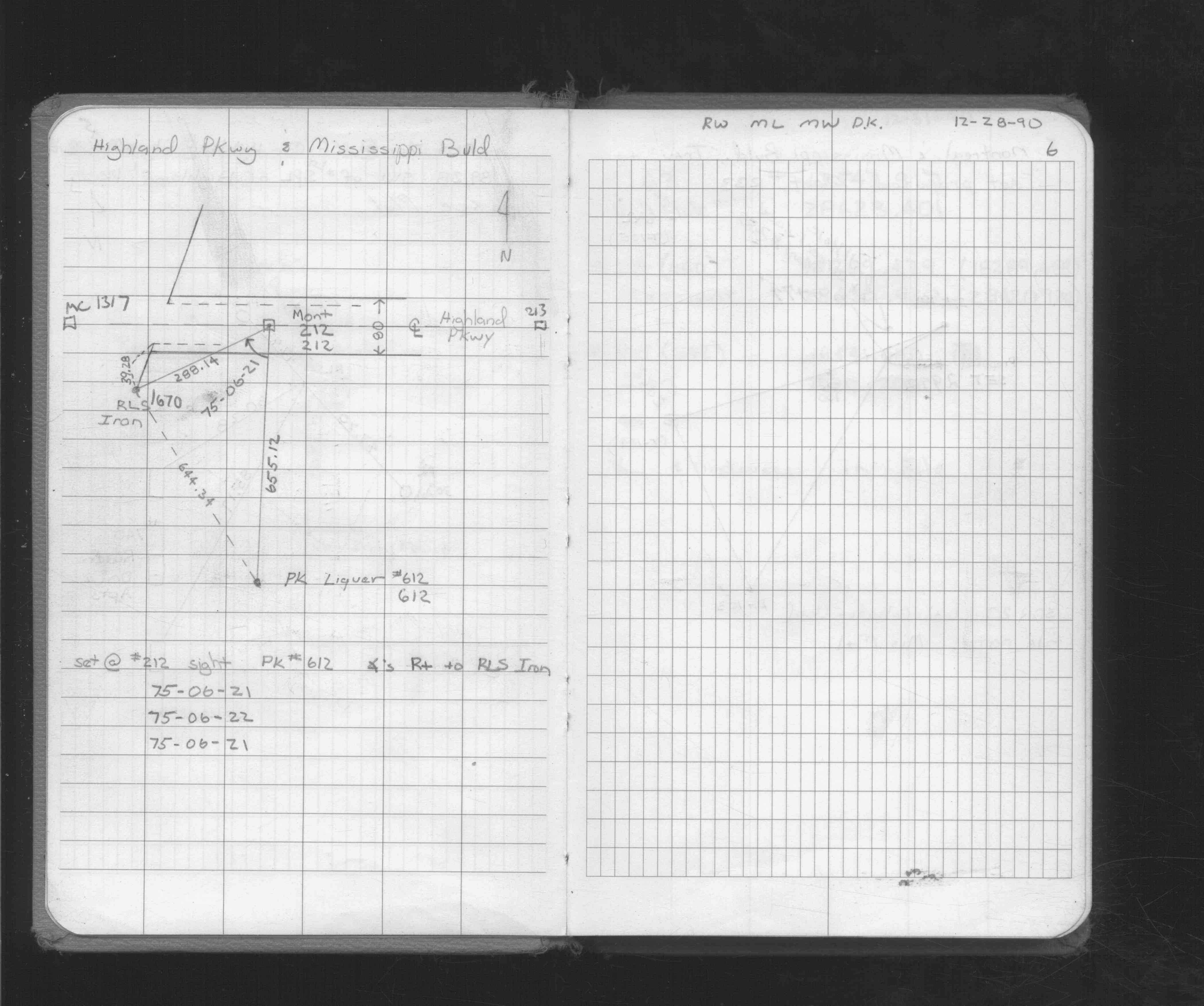
| 8/19/1996 | Set CIM to grade in center island, placed ties. See CofL 0212-1283-A |
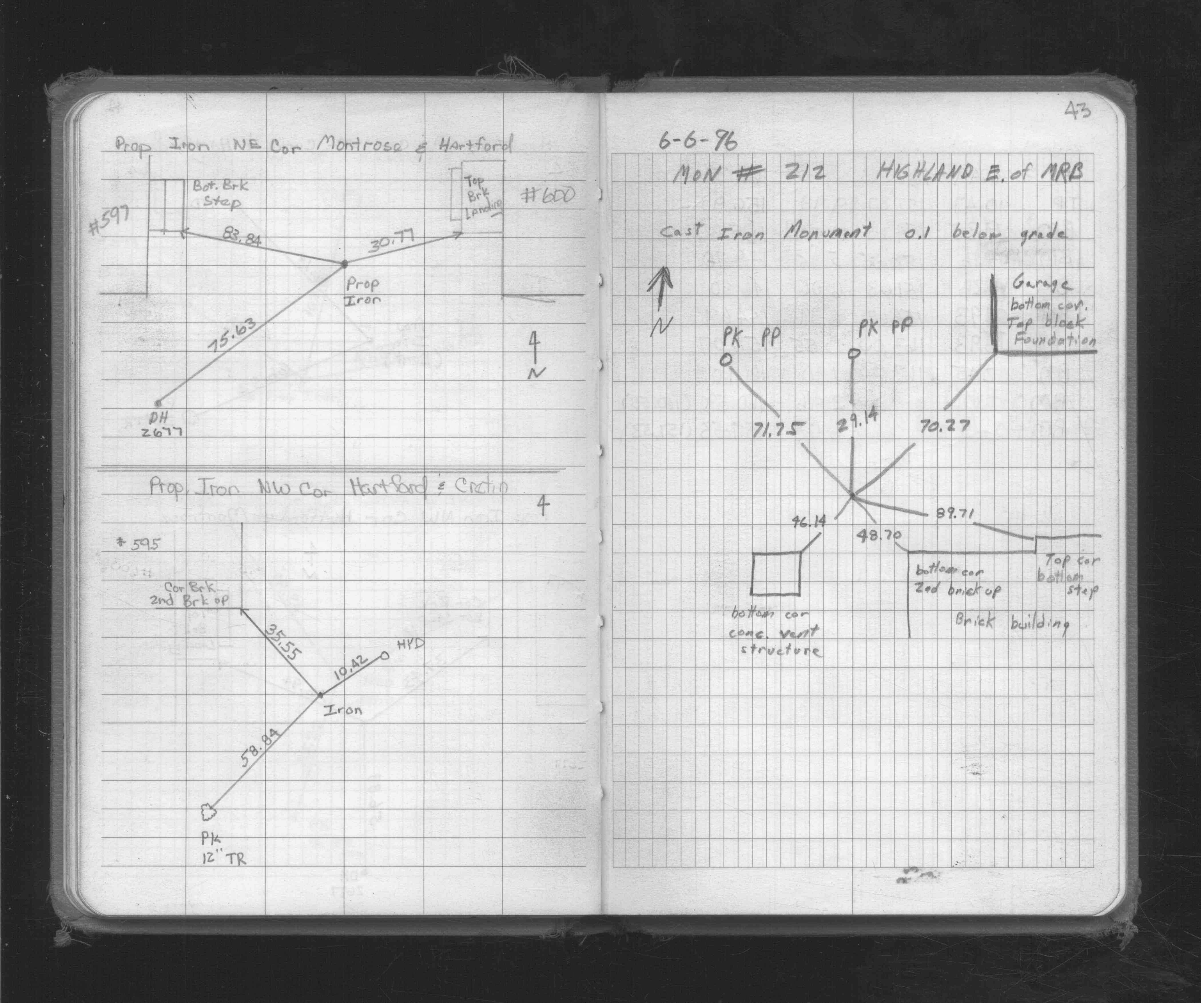
| 6/1/1996 | (Unknown date Jun __, 1996 ) Placed ties. See FB 1719A p.43 |
| 4/1/1991 | (Unknown date Apr __, 1991 ) CIM cap set over GM; 0.1 ft below grade. |
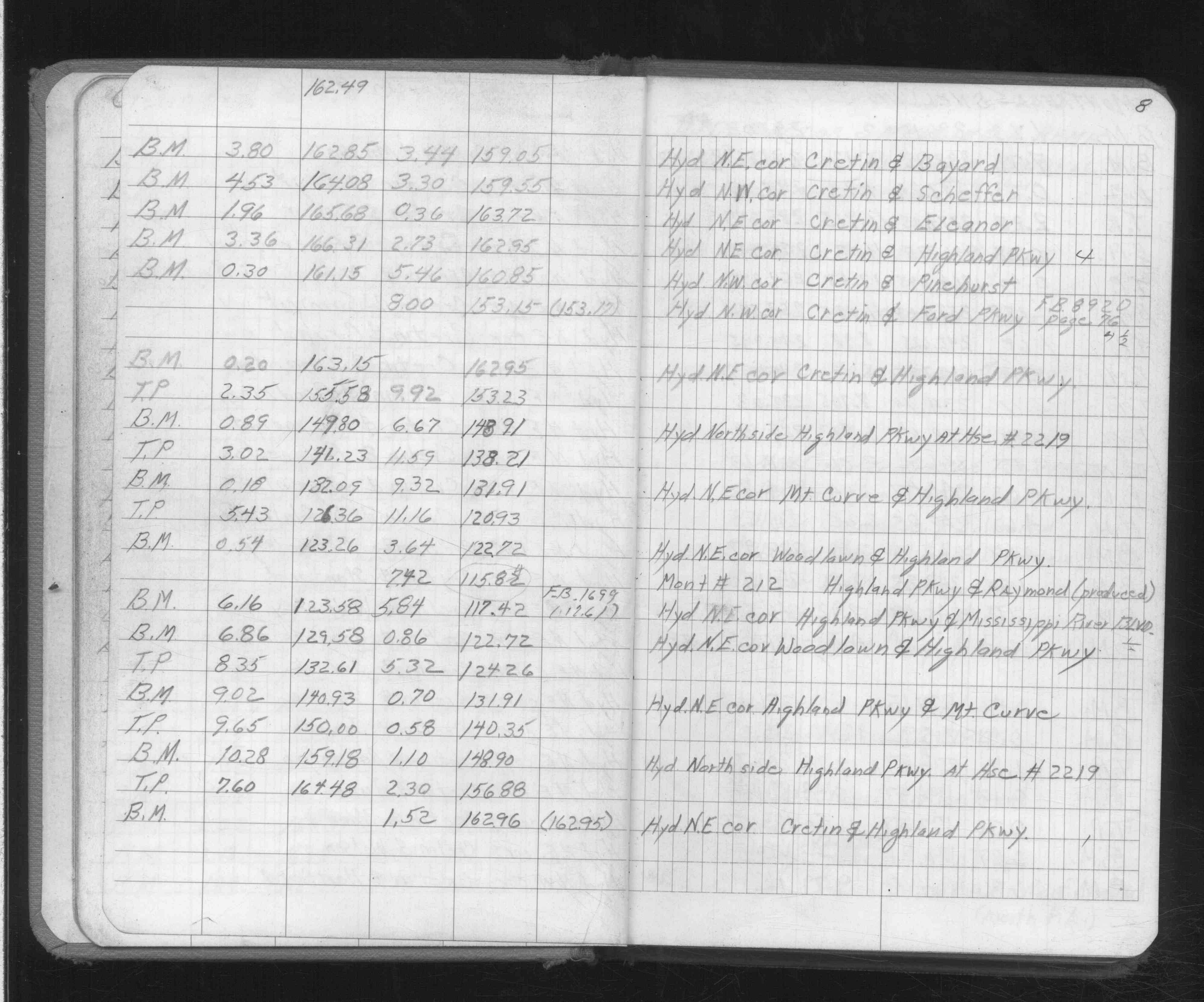
| 2/1/1985 | (Unknown date Feb __, 1985 ) Elev 115.82 ft on ?. See FB 892F p.8 |
| 1/1/1985 | (Unknown date ___ __,1985 ) Historic, one time only GPS survey = S050 |
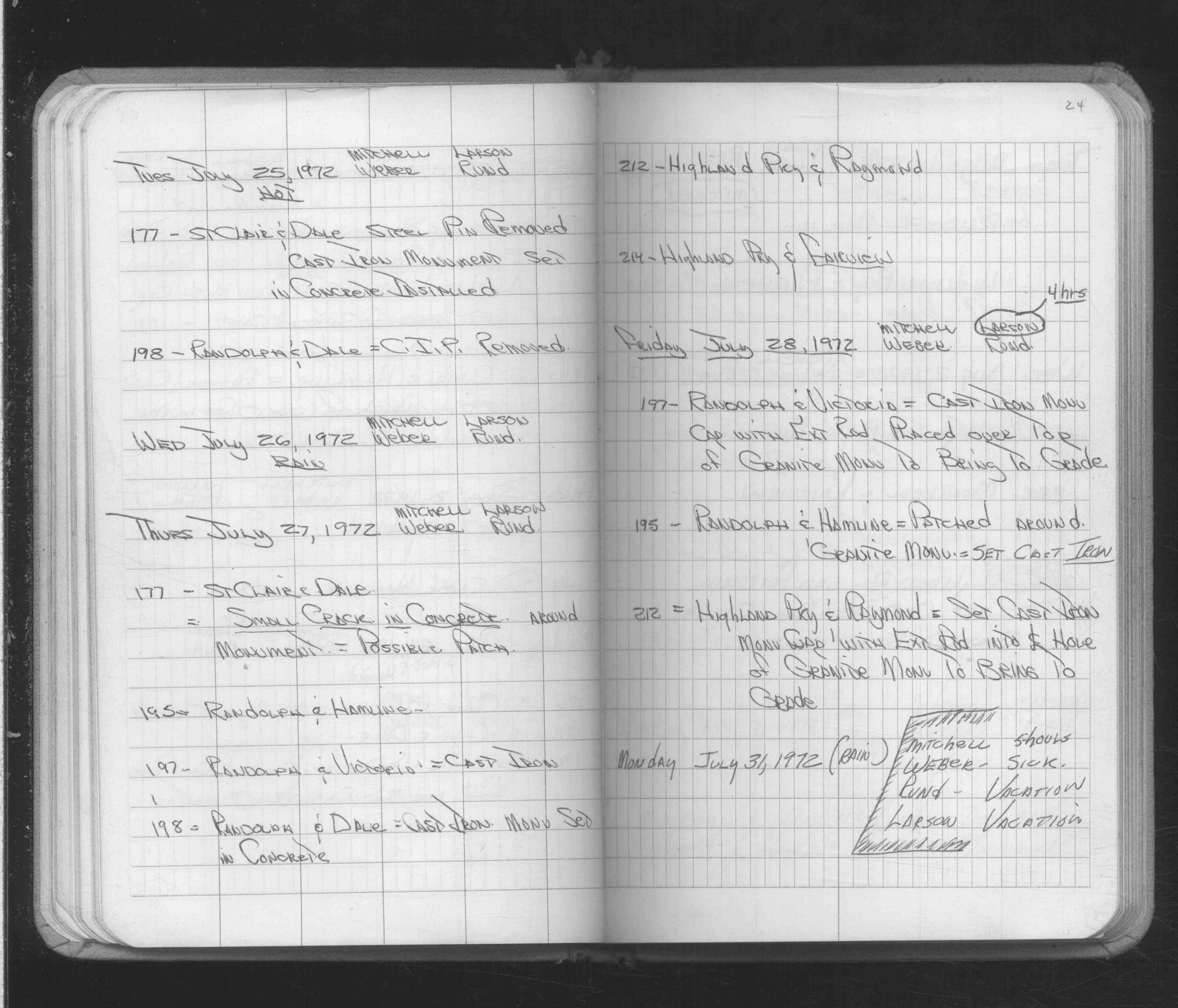
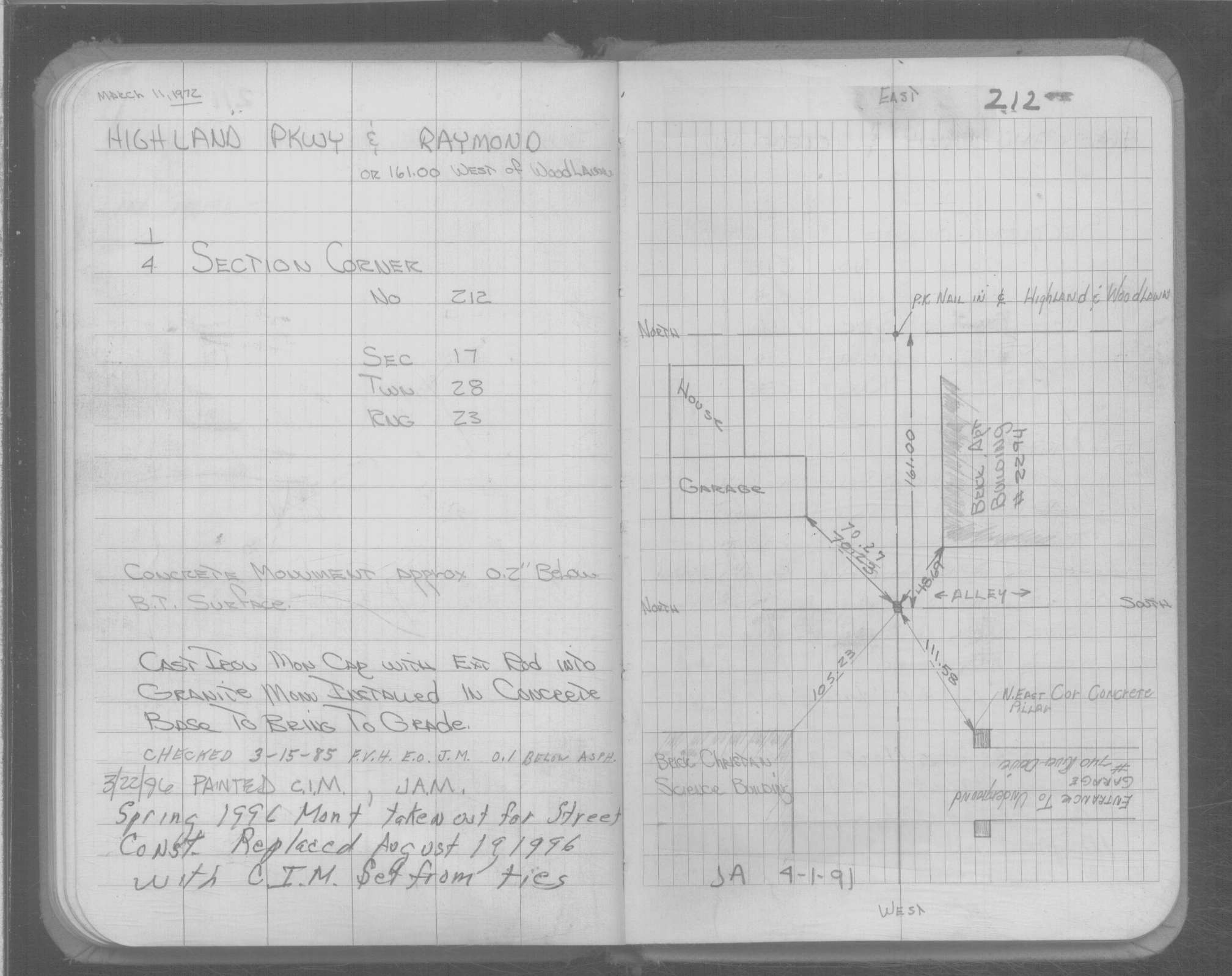
| 7/28/1972 | Set CIM cap with extension rod into CL hole of GM to bring to grade. See FB 1689A p.24 |
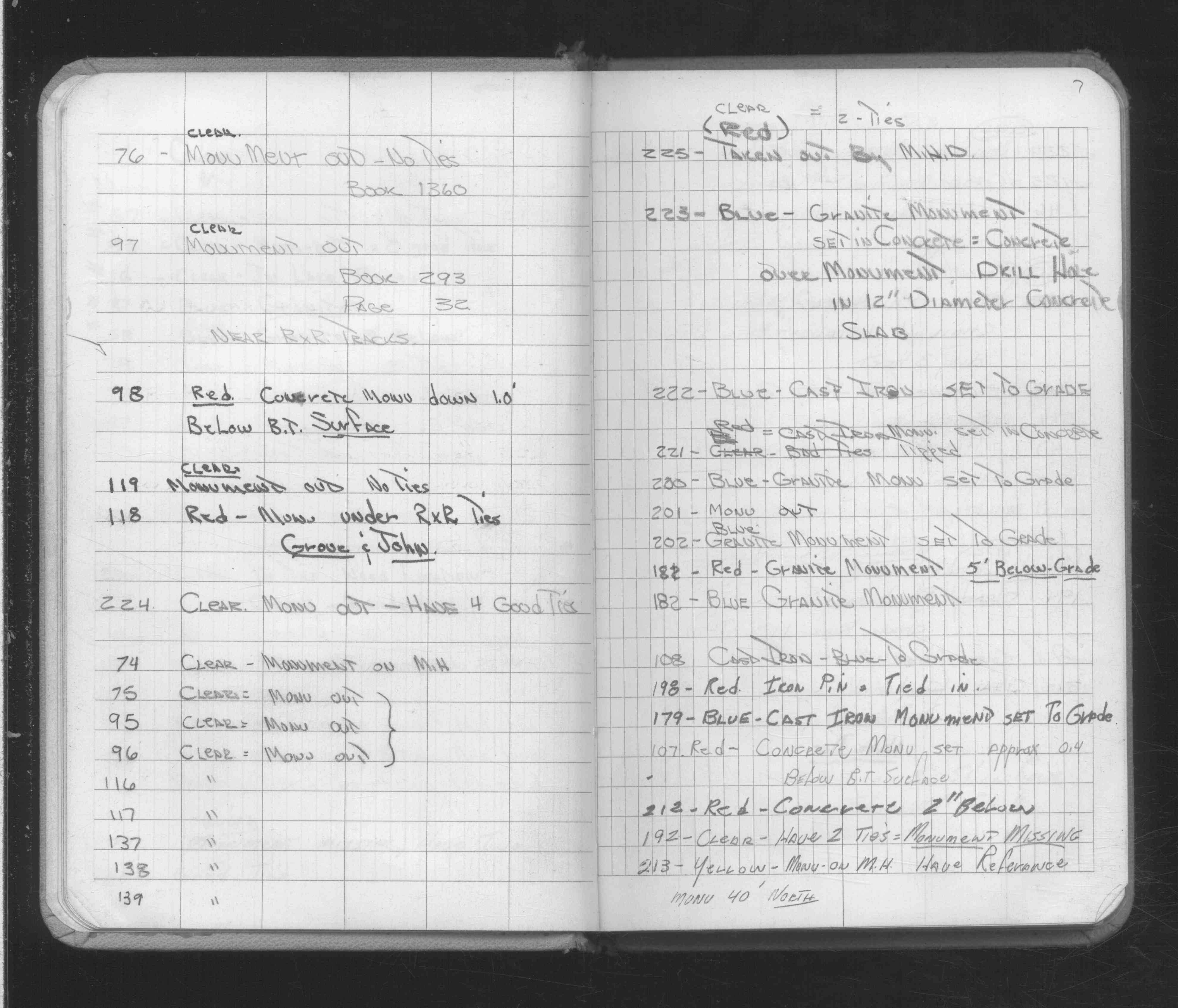
| 2/16/1972 | Fd concrete monument 2" below grade. See FB 1689A p.7 |
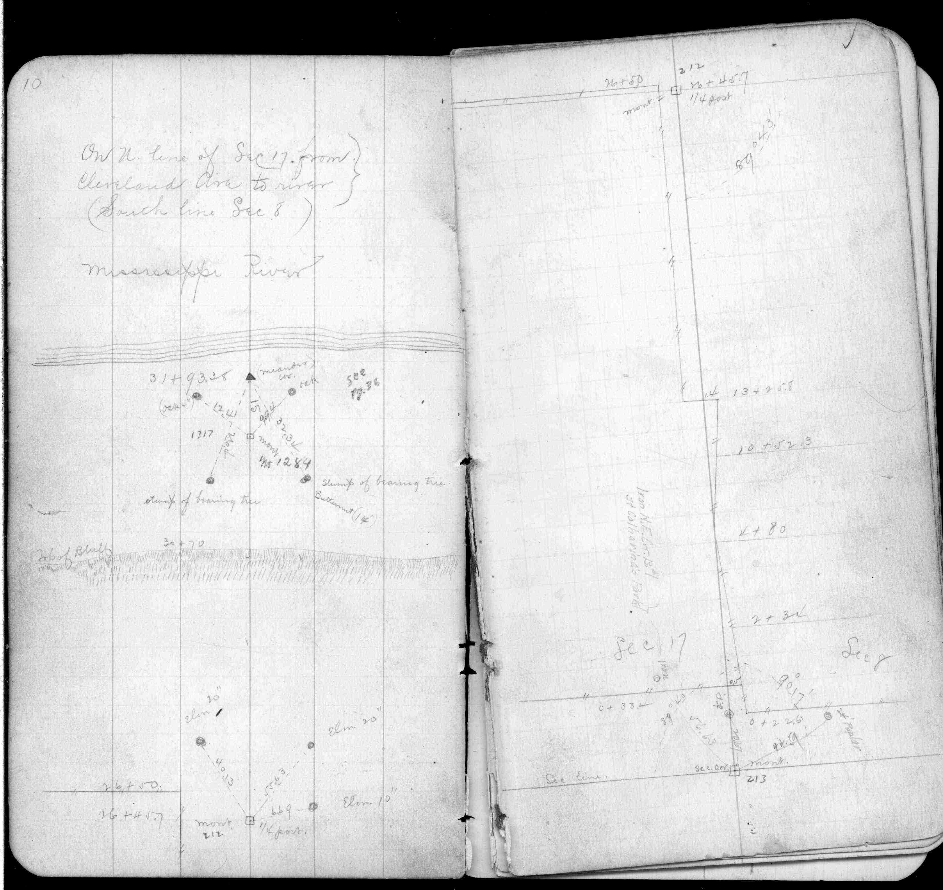
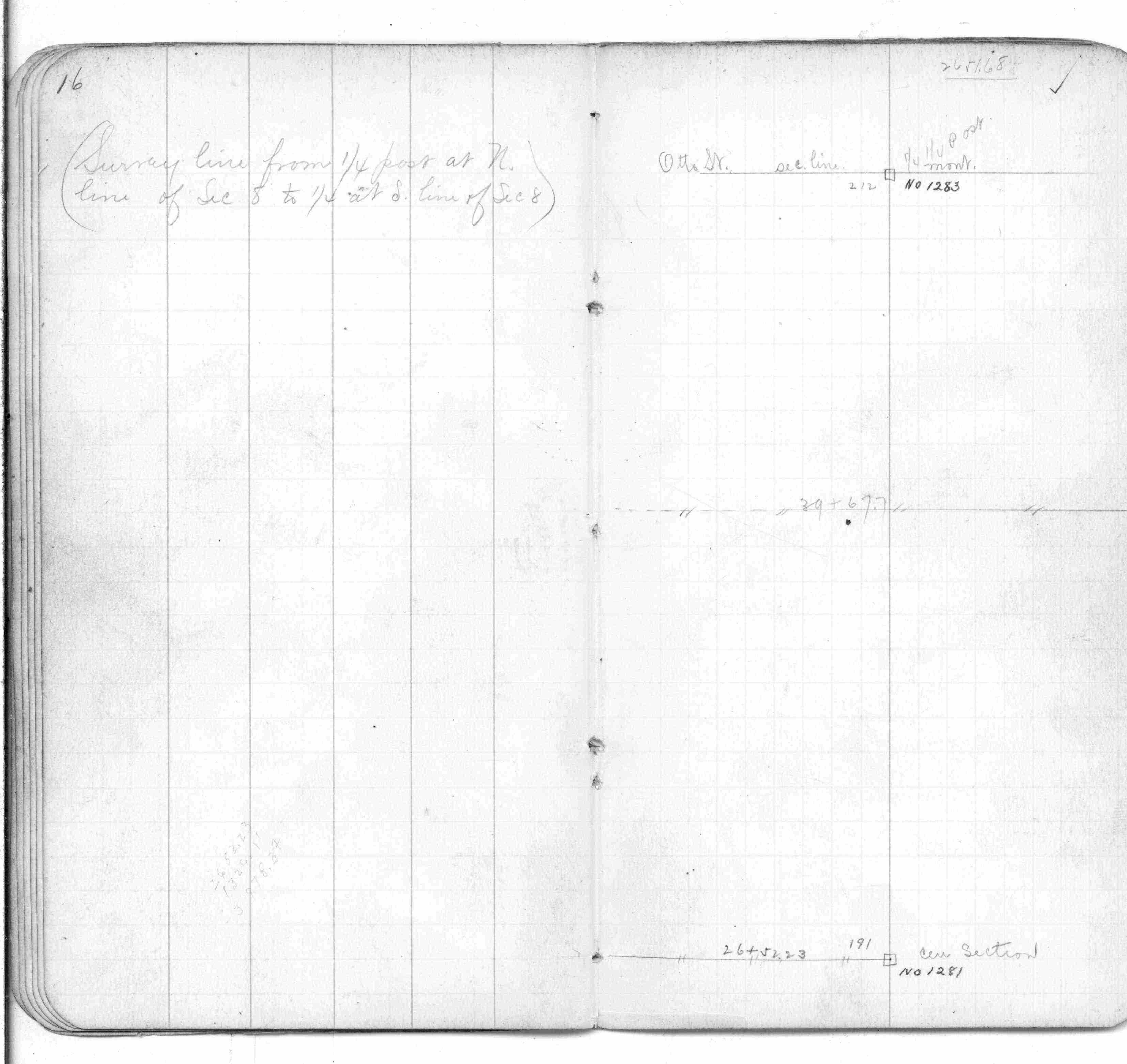
| 3/1/1888 | (Unknown date Mar __, 1888 ) Monument set by R J Johnson. See FB 249 p.10 |
| 10/1/1847 | (Unknown date Oct __, 1847 ) Isaac N Higbee deputy surveyor set post. Tied to 2 BTs. See IH p.026-027 2823 |
Above is NOT an all inclusive history of this point. Please review all the links below.
| PLS NOTES | Field | Cross Section | Sewer | J.B. Irvine | Monument | River Survey |
|---|---|---|---|---|---|---|
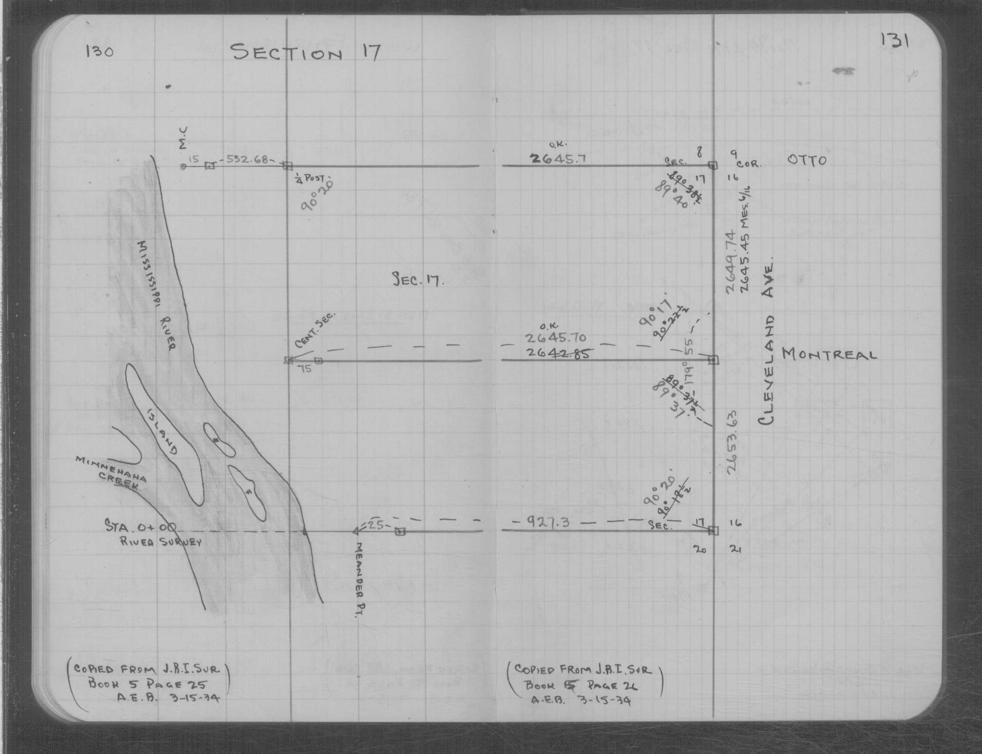
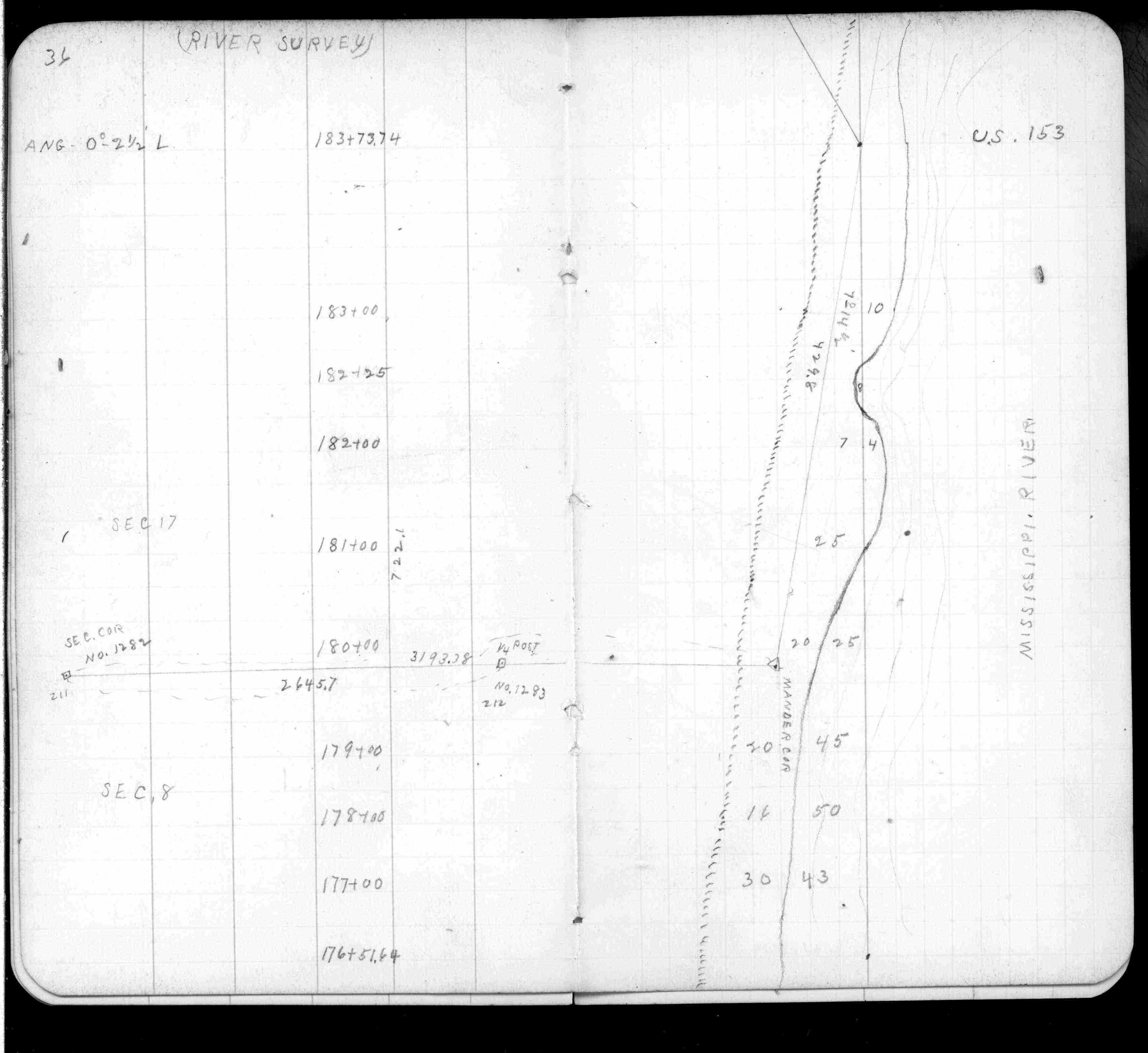
| IH p.026-027 | FB 0249p.10 | MS 0007 p.130-131 | ||||
| FB 0249p. 10 ,16 ,36 | ||||||
| FB 0474p.58 | ||||||
| FB 0854p.24 | ||||||
| FB 0892Fp.08 | ||||||
| FB 1676Ap.59 | ||||||
| FB 1689Ap.24 | ||||||
| FB 1689Ap.07 | ||||||
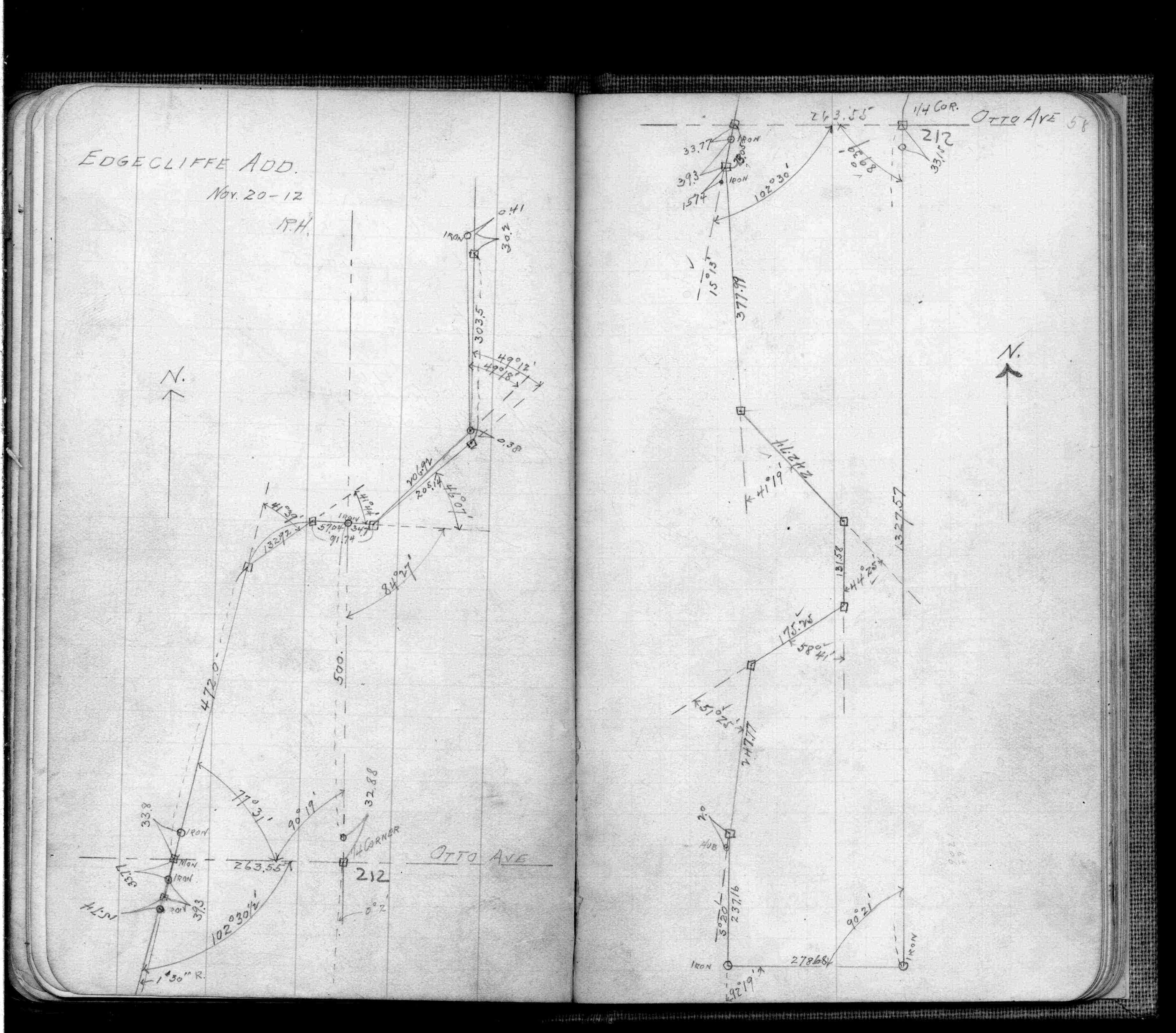
| FB 1694p. 17 ,21 | ||||||
| FB 1699p.09 | ||||||
| FB 1716p. 06 ,08 ,09 ,11 | ||||||
| FB 1719Ap.43 | ||||||
| FB 1736p.29 |
| FILE | SURVEYOR | LIC. NO. | DATE SIGNED | DATE TIED |
|---|---|---|---|---|
| 0212-1283-A.tif | William J. Cutting | 20576 | August 22, 1996 | August 19, 1996 |
| ST_157-234p212.jpg | none | none | none | none |
| 0212-1283-A.dwf | none | none | none | none |
| FILE | PHOTO DATE | COMMENTS |
|---|---|---|
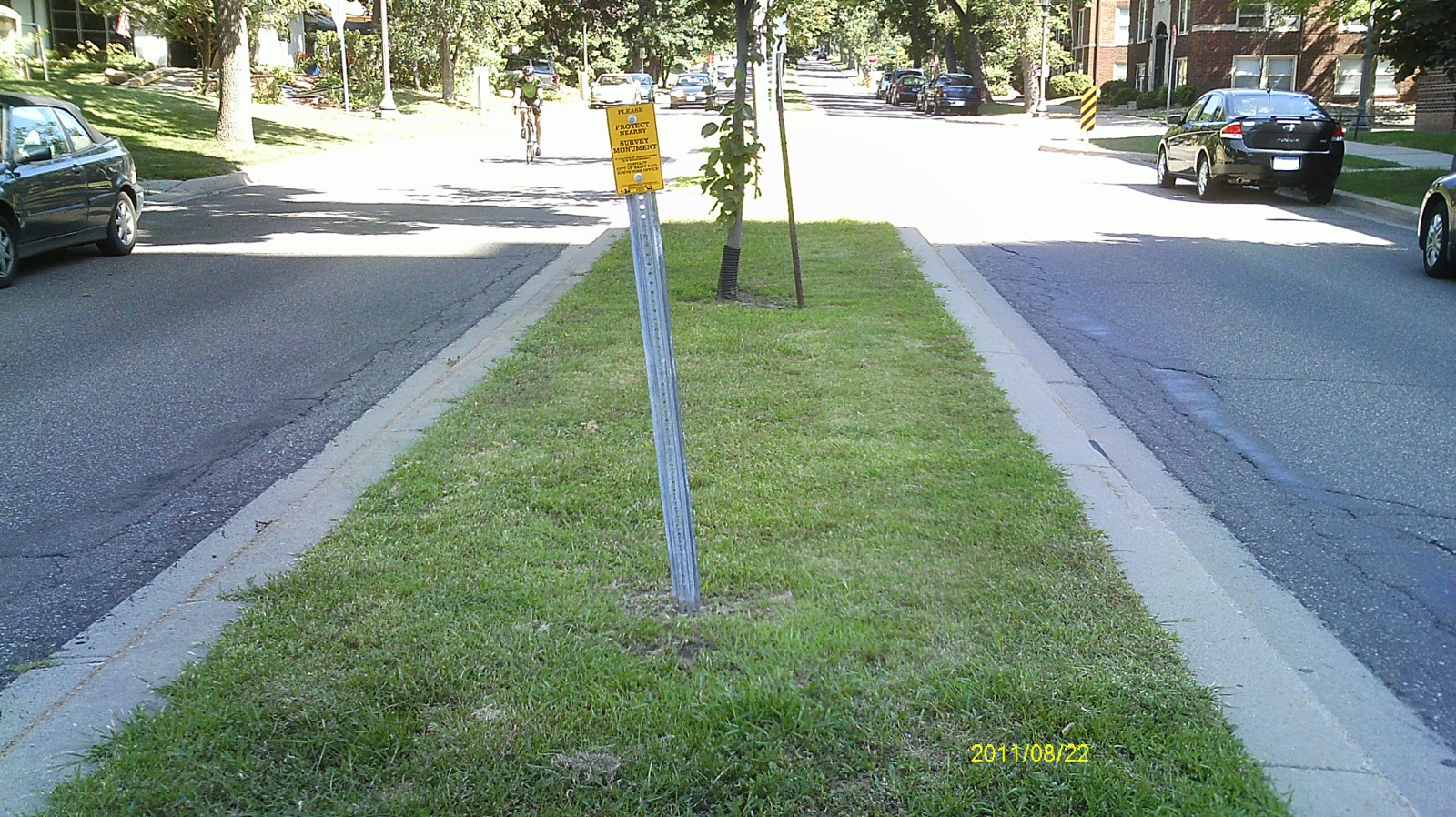
| 0212-1283-5.jpg | August 24, 2011 | Looking west along Highland pkwy. |
| 0212-1283-4.jpg | August 24, 2011 | Looking south. |
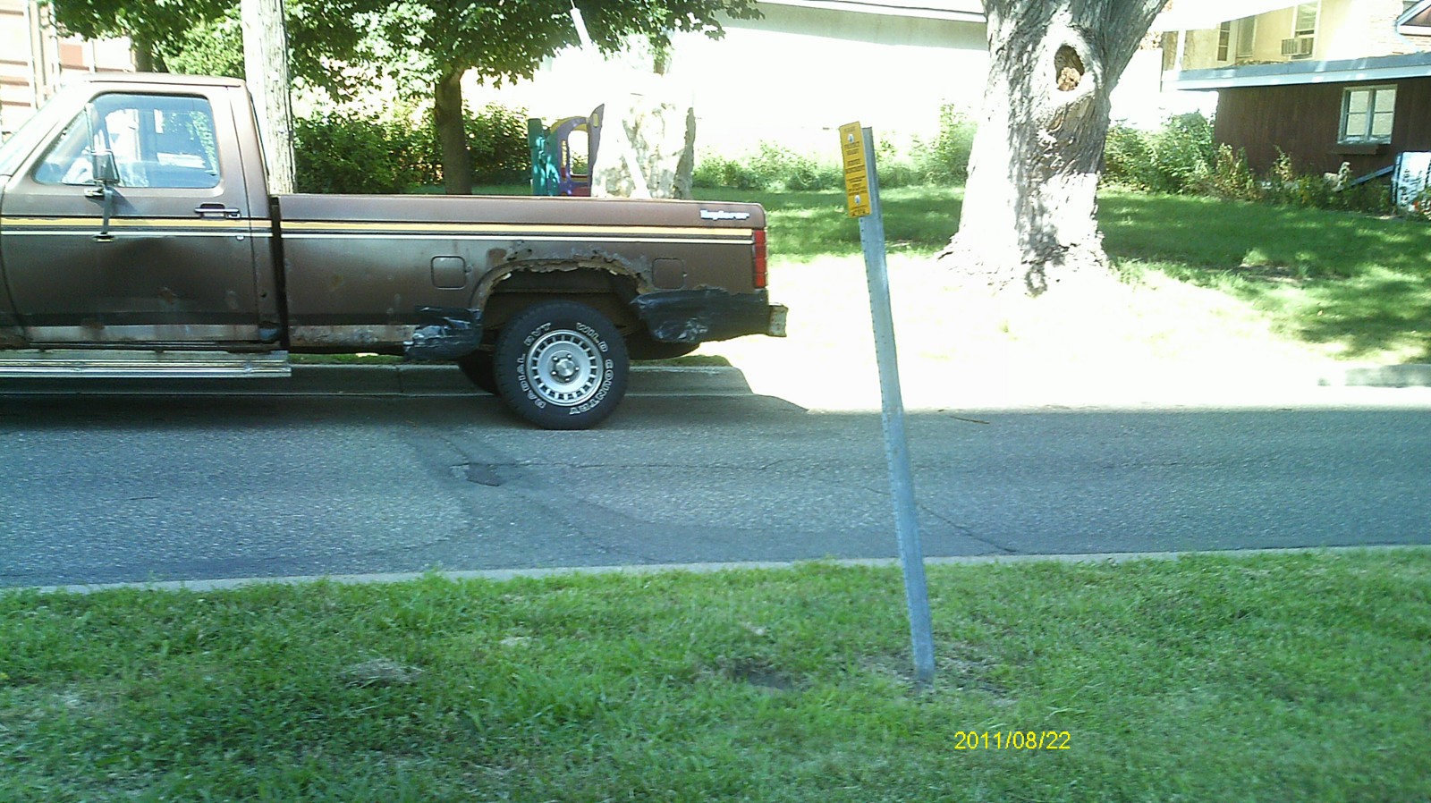
| 0212-1283-3.jpg | August 24, 2011 | Looking east along Highland Pkwy. |
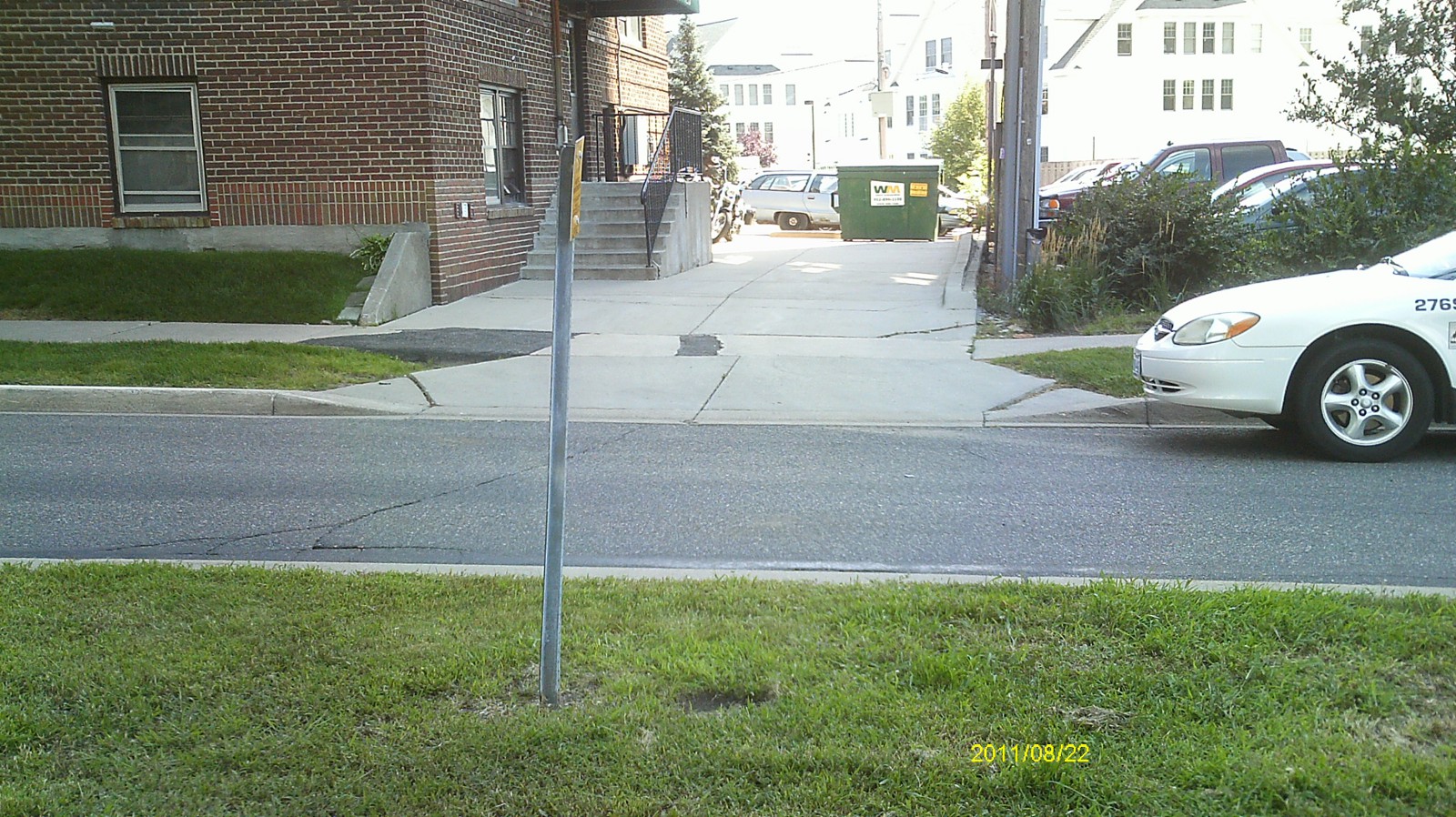
| 0212-1283-2.jpg | August 24, 2011 | Looking north. |
| 0212-1283-1.jpg | August 24, 2011 | Close up of monument. |