| NAD83 COORDINATES (1986 adj.): |
|---|
| * X= 558676.171 Y= 146975.671 Z= 000.00 LSQ 12/06/1991 S FLT |
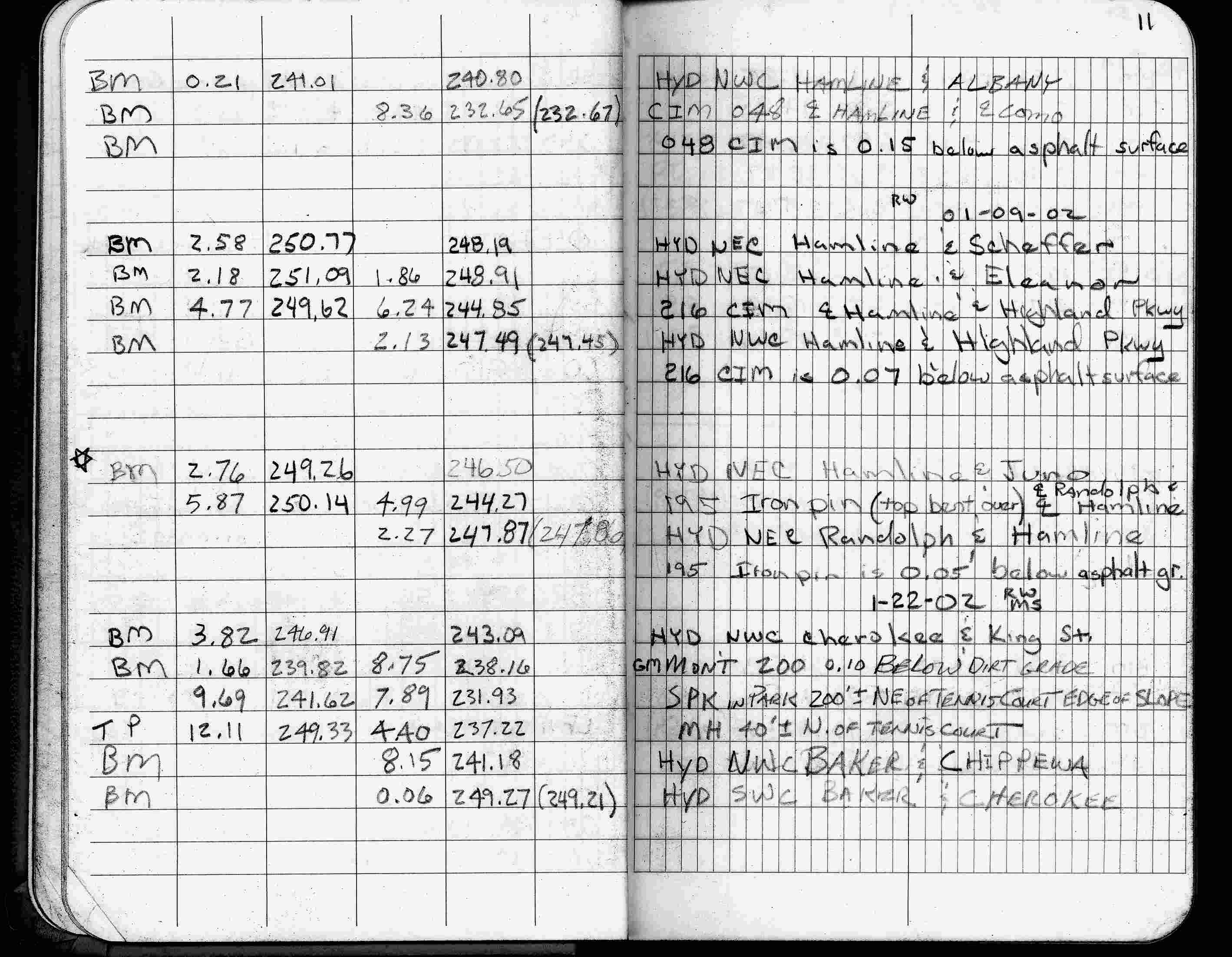
| 1/9/2002 | Elev 244.85 ft on CIM 0.07 ft below asphalt surface. See FB 1736 p.11 |
| 3/1/2000 | (Unknown date Mar __, 2000 ) Fd CIM 0.10 ft below grade (marked for painting target for 2000 aerial) |
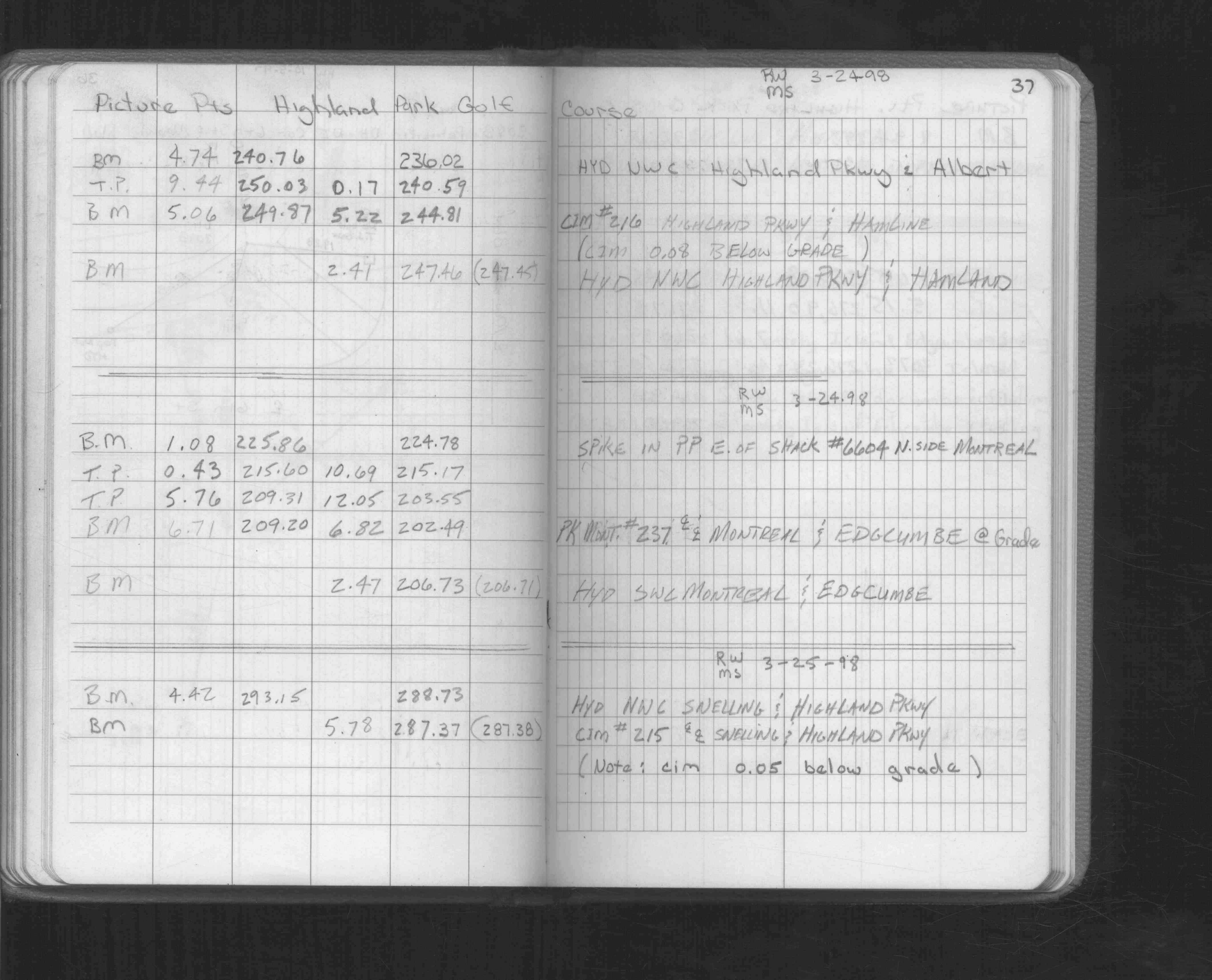
| 3/24/1998 | Elev 244.81 ft on CIM 0.08 ft below grade. See FB 1549L p.37 |
| 12/7/1995 | Fd CIM 0.05 ft below grade, placed ties. See CofL 0216-0694-A |
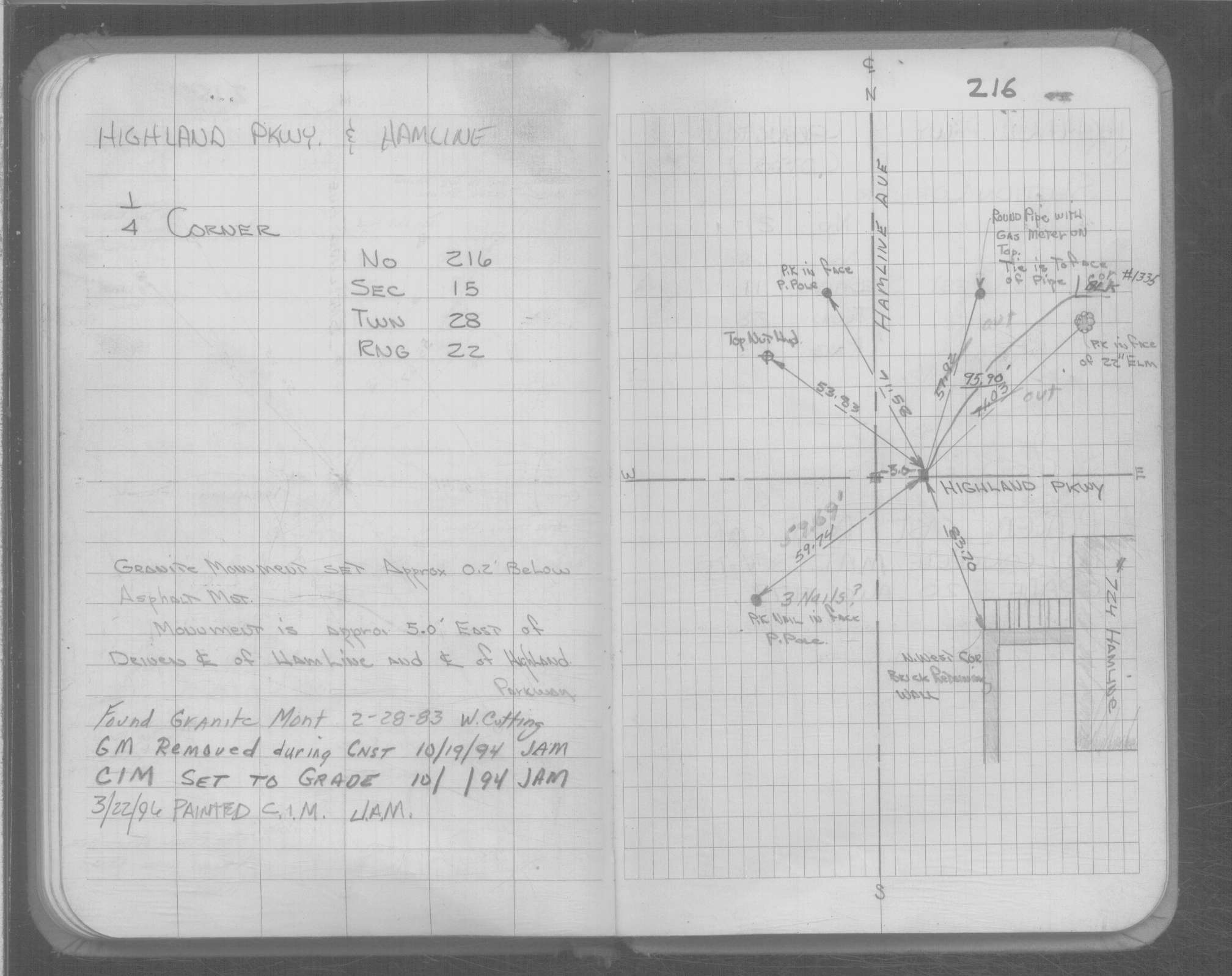
| 10/1/1994 | (Unknown date Oct __, 1994 ) Set CIM. |
| 10/1/1994 | (Unknown date Oct __, 1994 ) Removed GM on about Oct 1994 during construction |
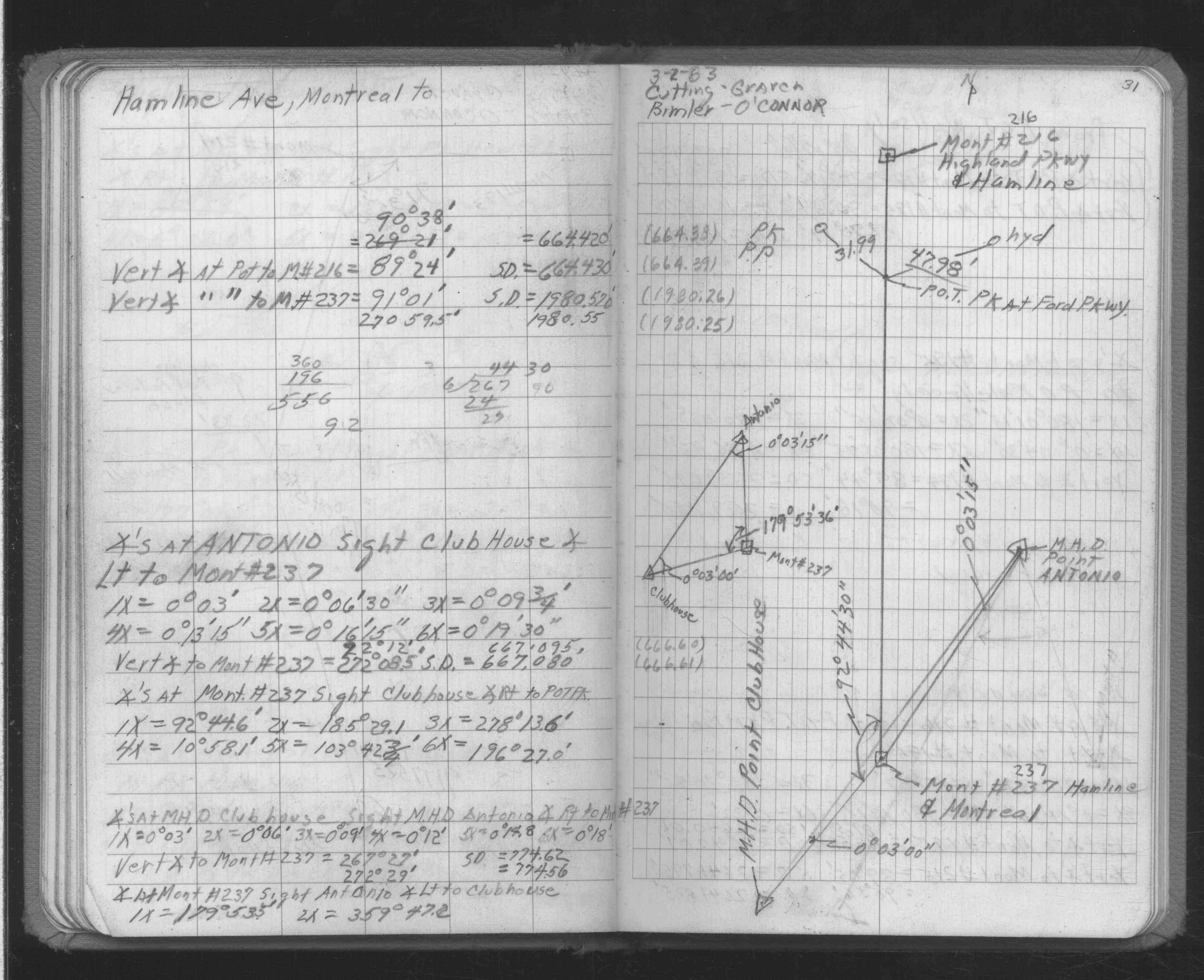
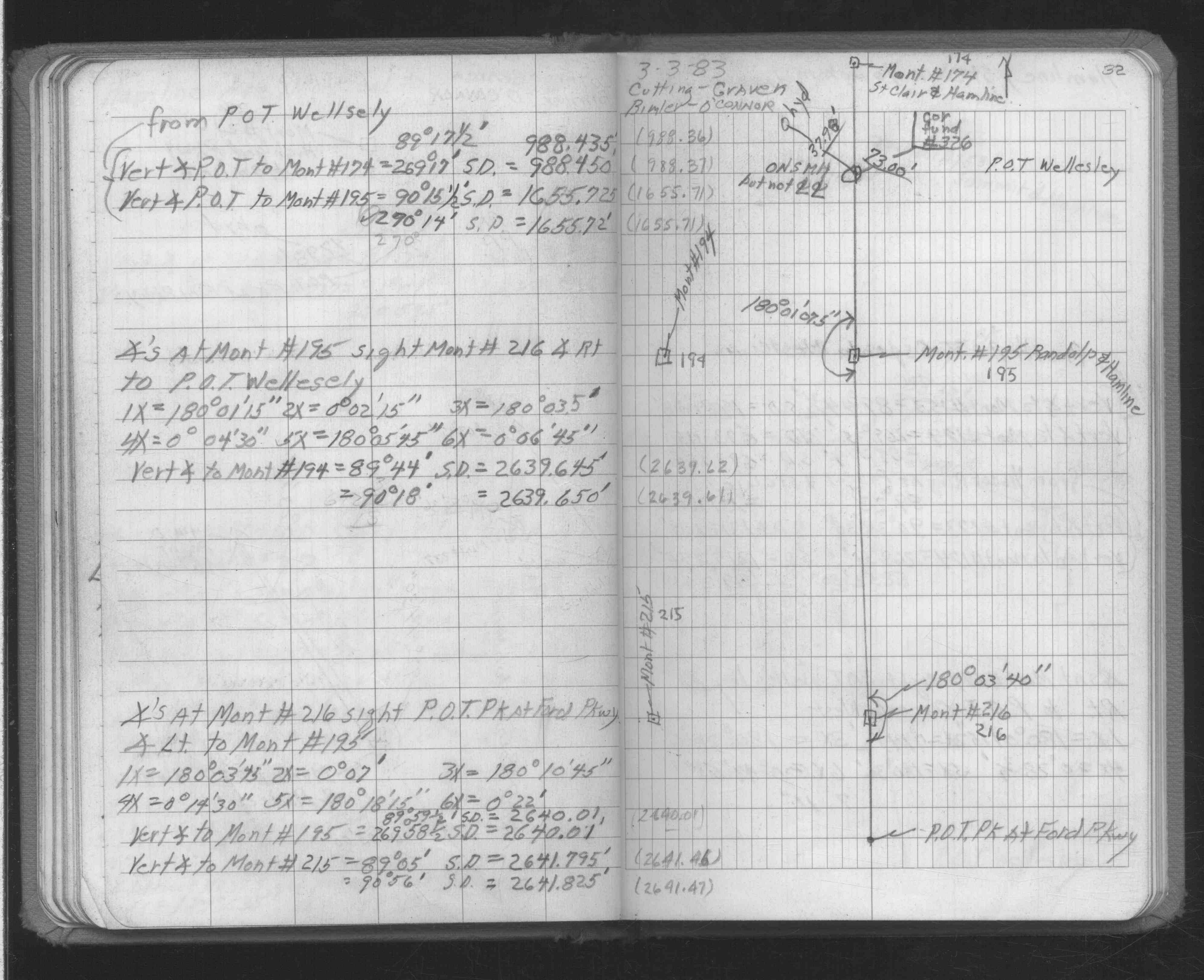
| 2/1/1983 | (Unknown date Feb __, 1983 ) Fd GM. |
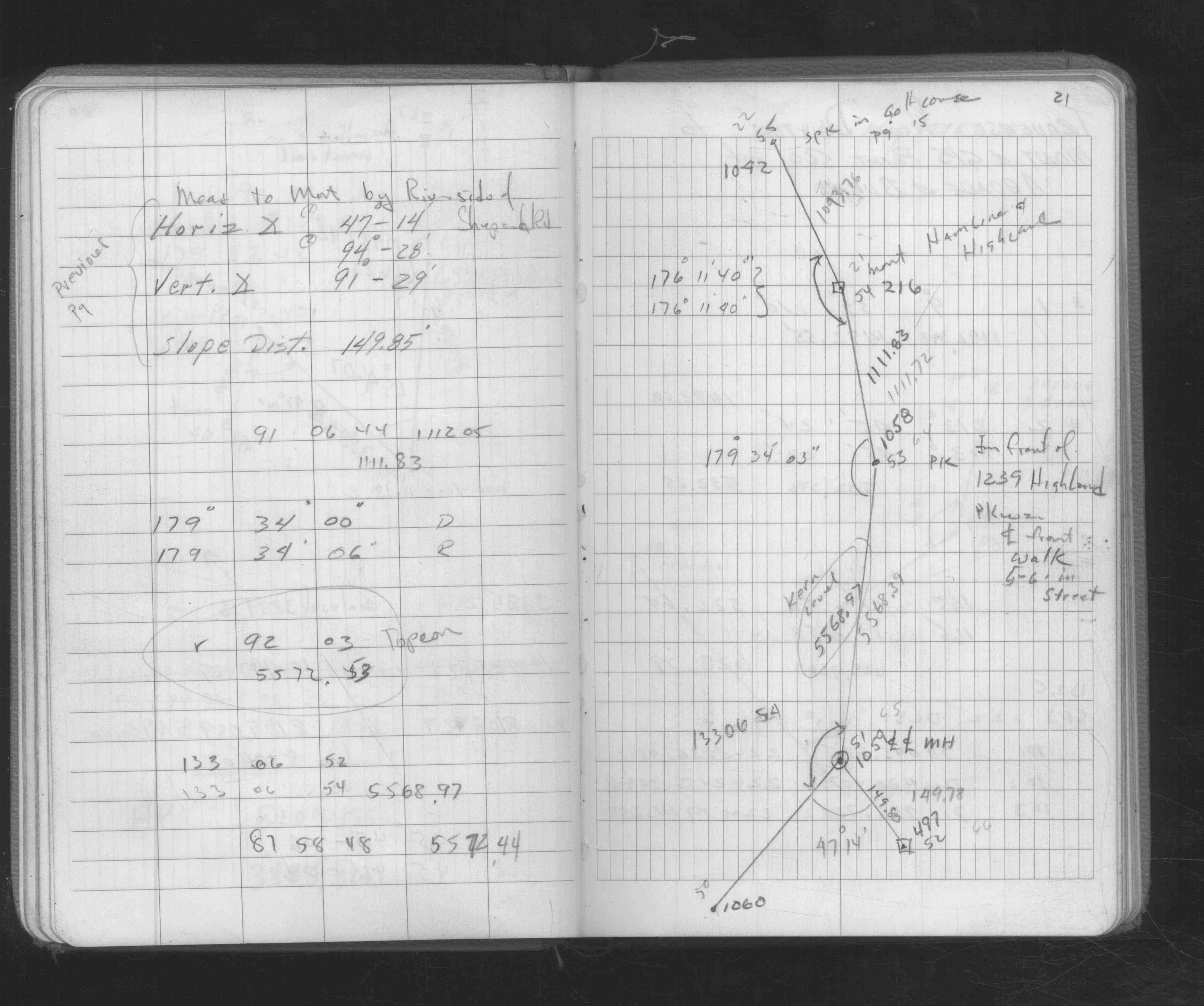
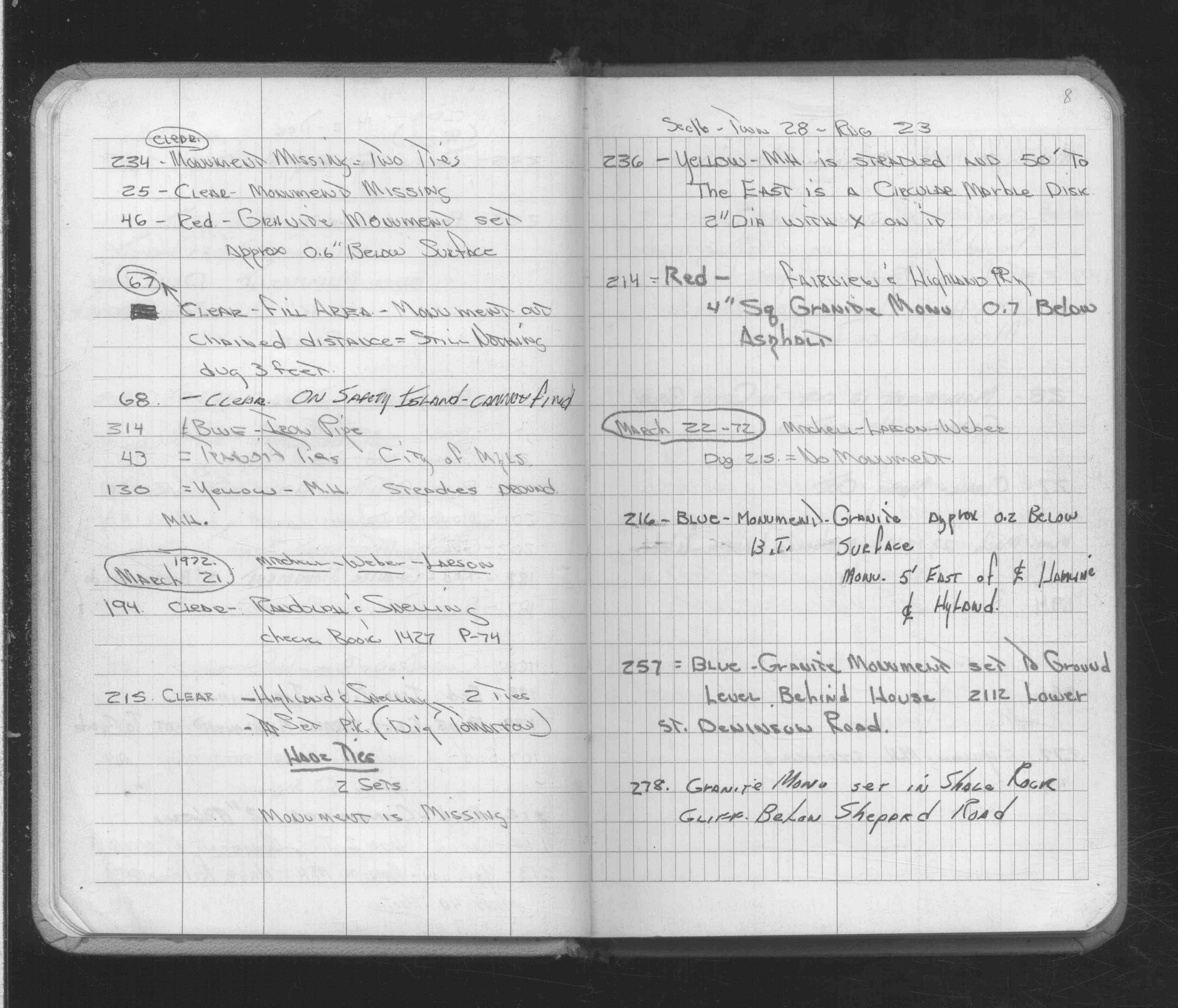
| 3/22/1972 | Fd GM 0.2 ft below bituminous surface. See FB 1689A p.8 |
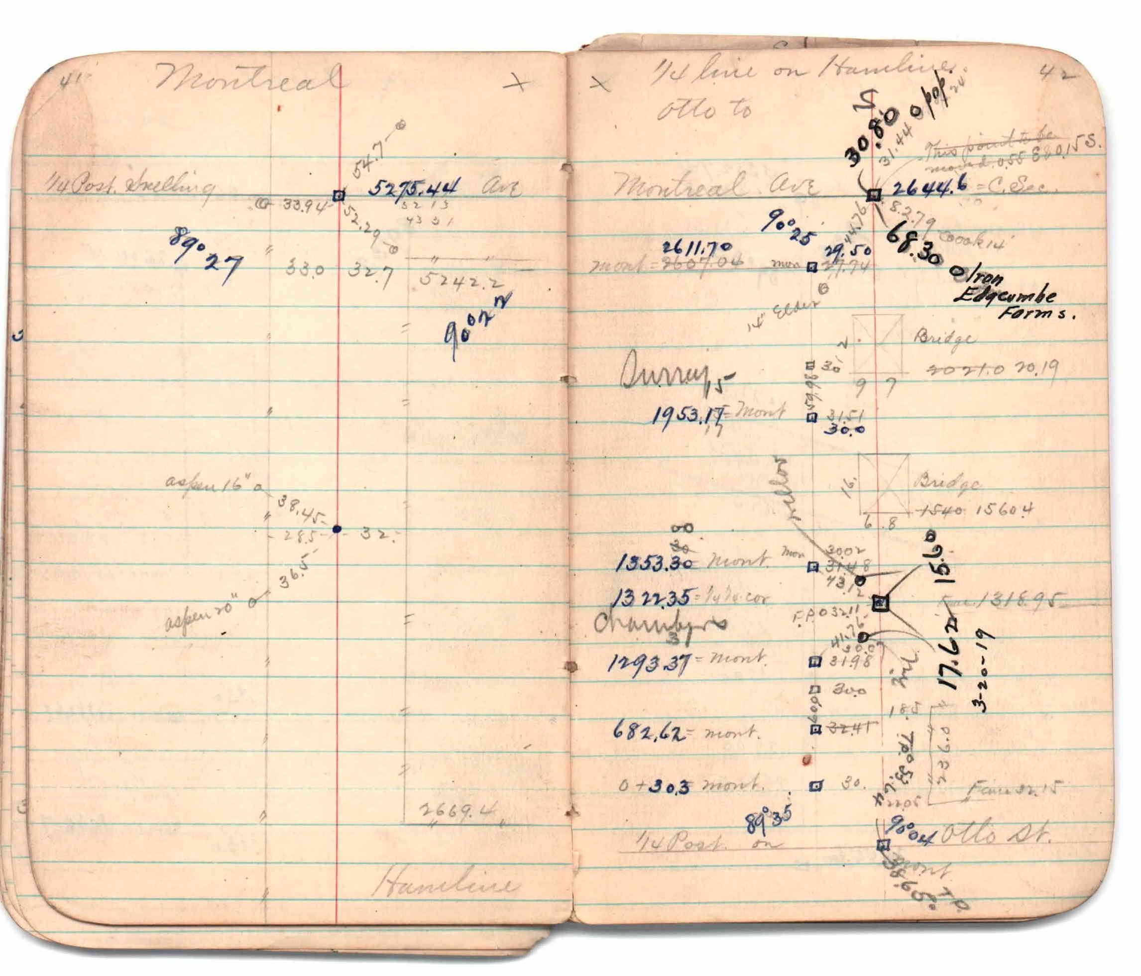
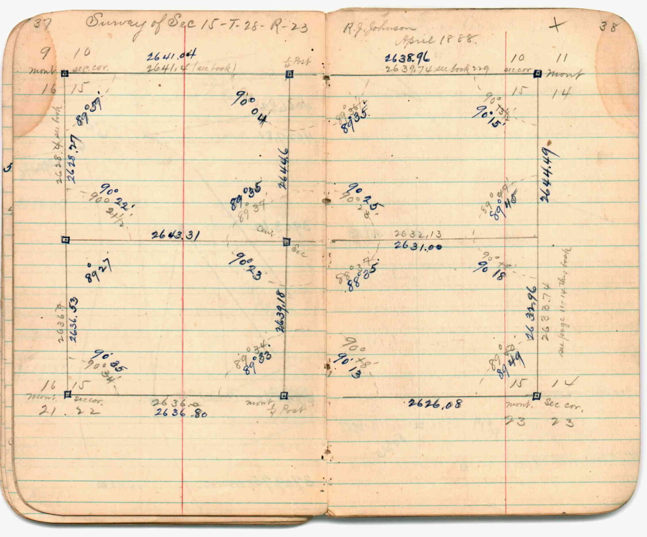
| 4/1/1888 | (Unknown date Apr __, 1888 ) Section break down by R J Johnson. See JBI 01 p.37-38 |
| 1/1/1888 | (Unknown date ___ __, 1888 ) See JBI 01 p.41-42 |
| 10/1/1847 | (Unknown date Oct __, 1847 ) Isaac N Higbee deputy surveyor set post. Tied to 2 BTs. See IH p.014-015 2823 |
Above is NOT an all inclusive history of this point. Please review all the links below.
| PLS NOTES | Field | Cross Section | Sewer | J.B. Irvine | Monument | River Survey |
|---|---|---|---|---|---|---|
| IH p.014-015 | FB 0229CPYp. 02 ,14 | JBI 01 p.41-42 | ||||
| FB 0236p.95103 | JBI 01 p.37-38 | |||||
| FB 0899p.44 | JBI 01 p.37-38 | |||||
| FB 1146p.59 | ||||||
| FB 1203p. 27 ,40 | ||||||
| FB 1336p.44 | ||||||
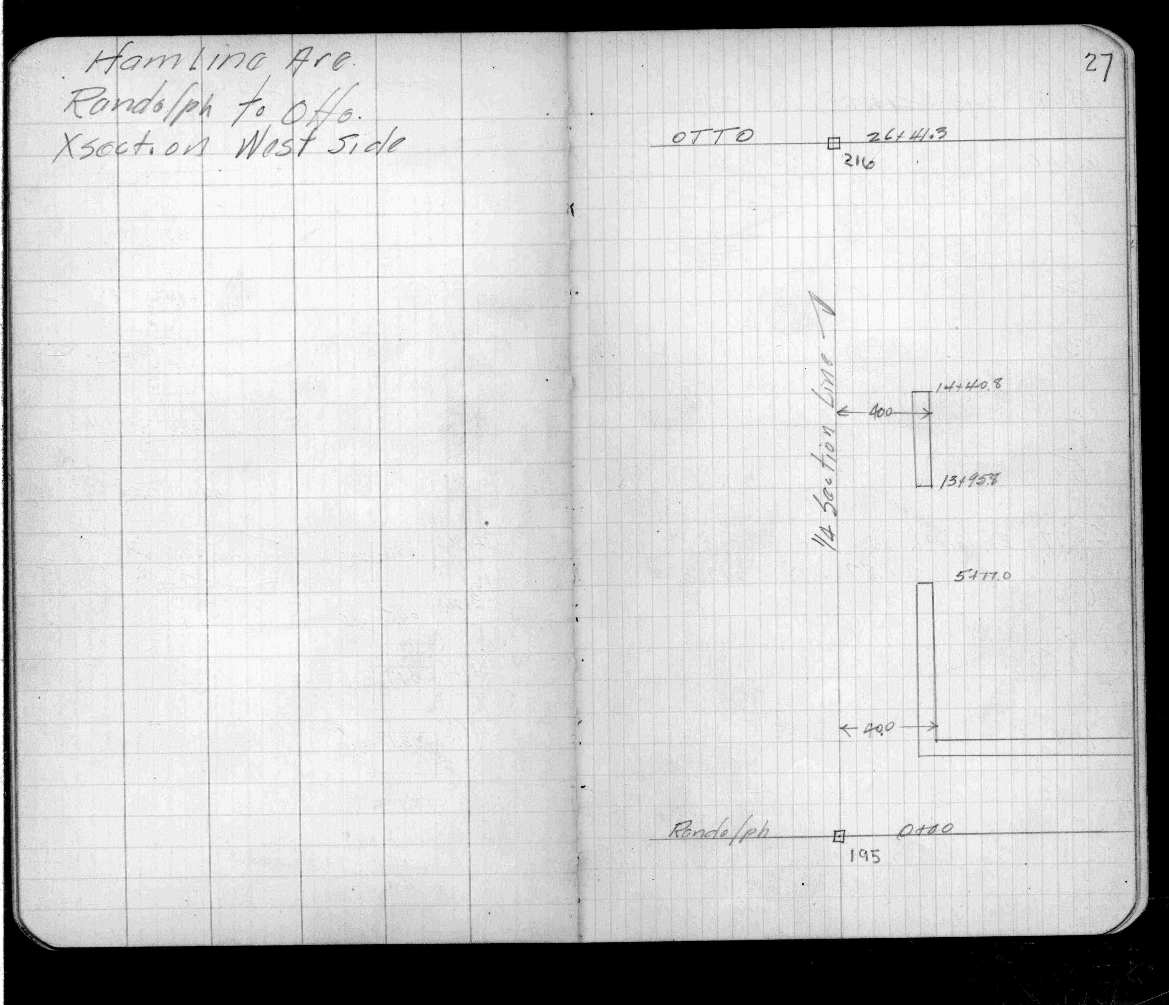
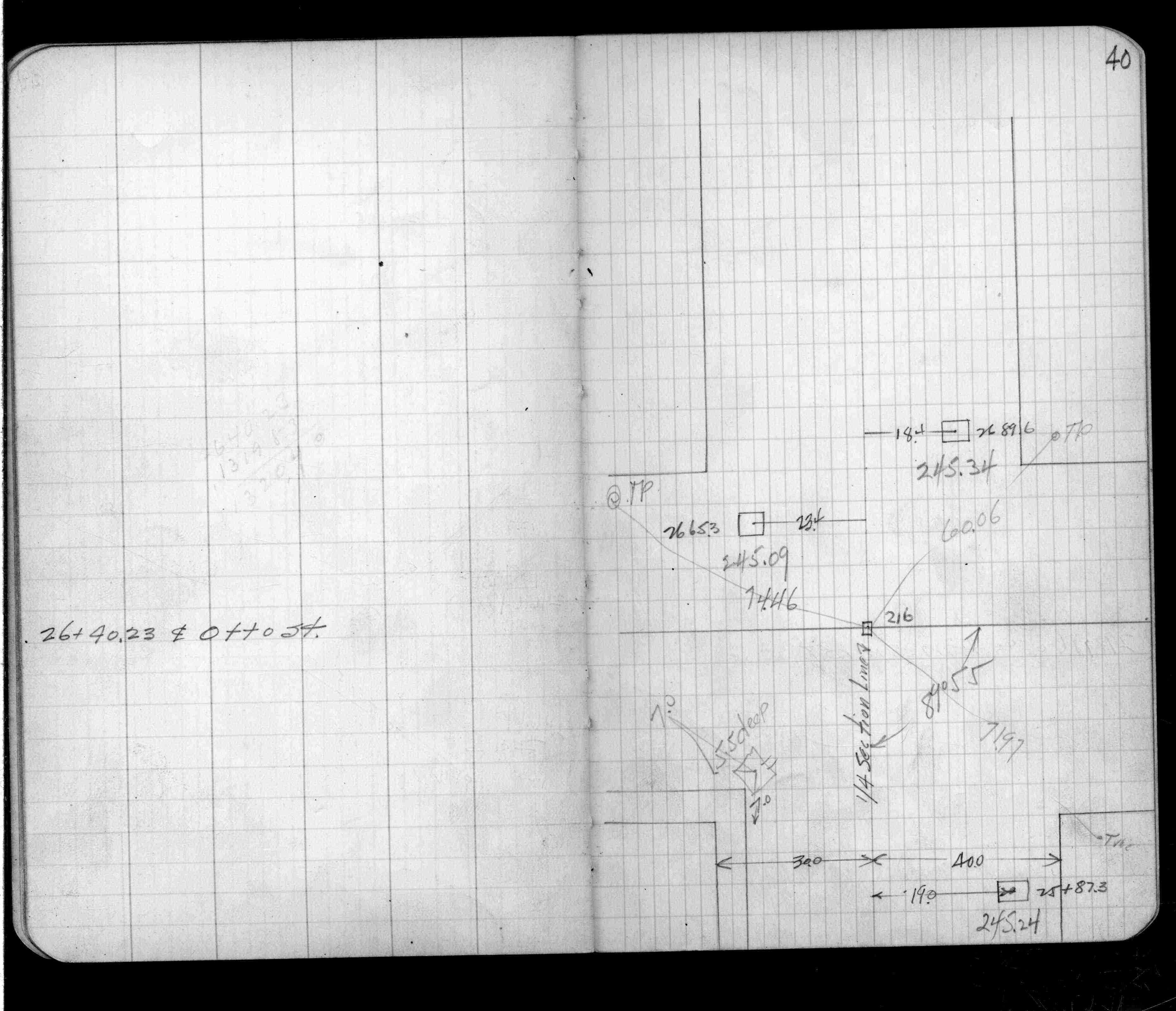
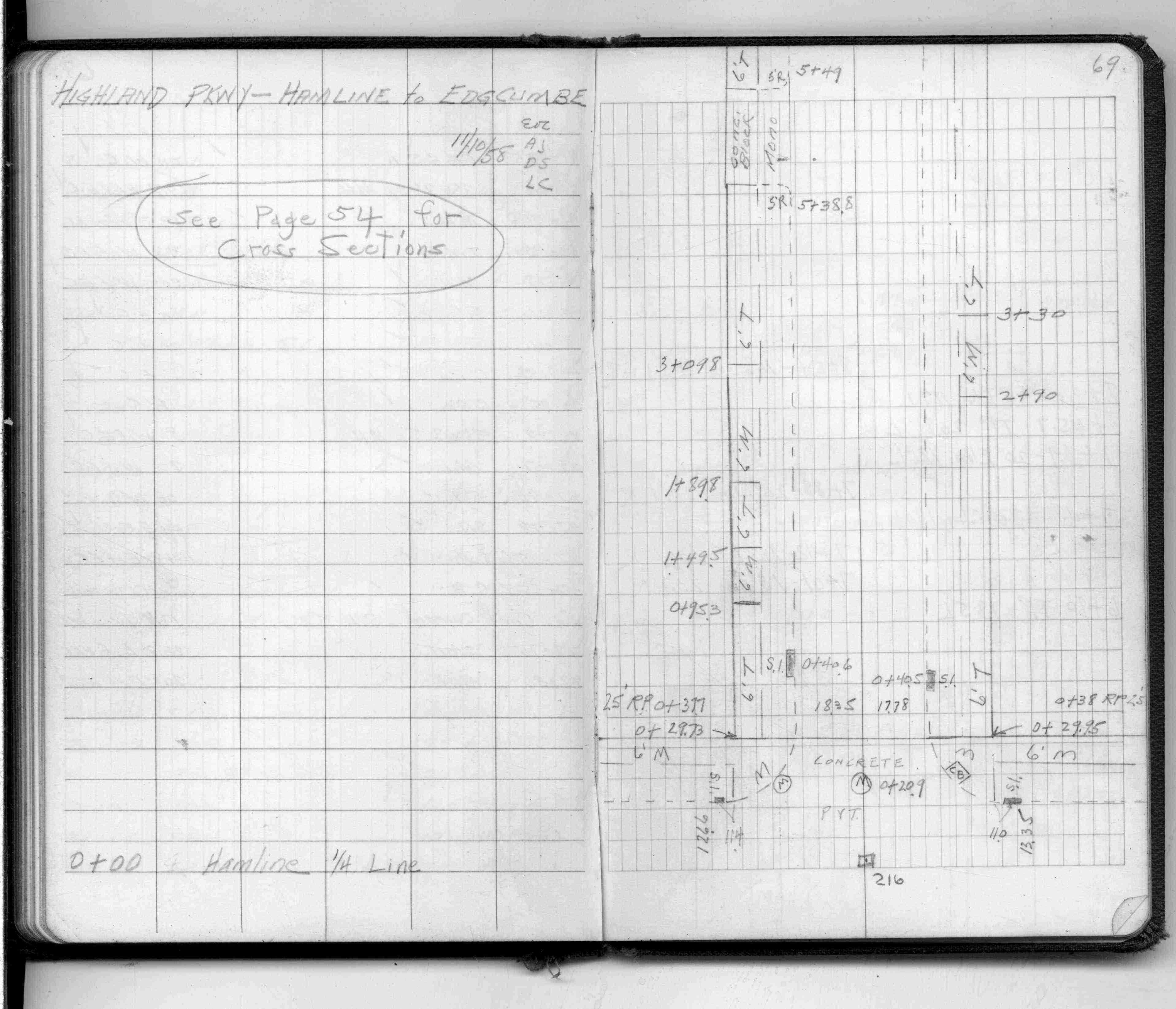
| FB 1490p.69 | ||||||
| FB 1532p.01 | ||||||
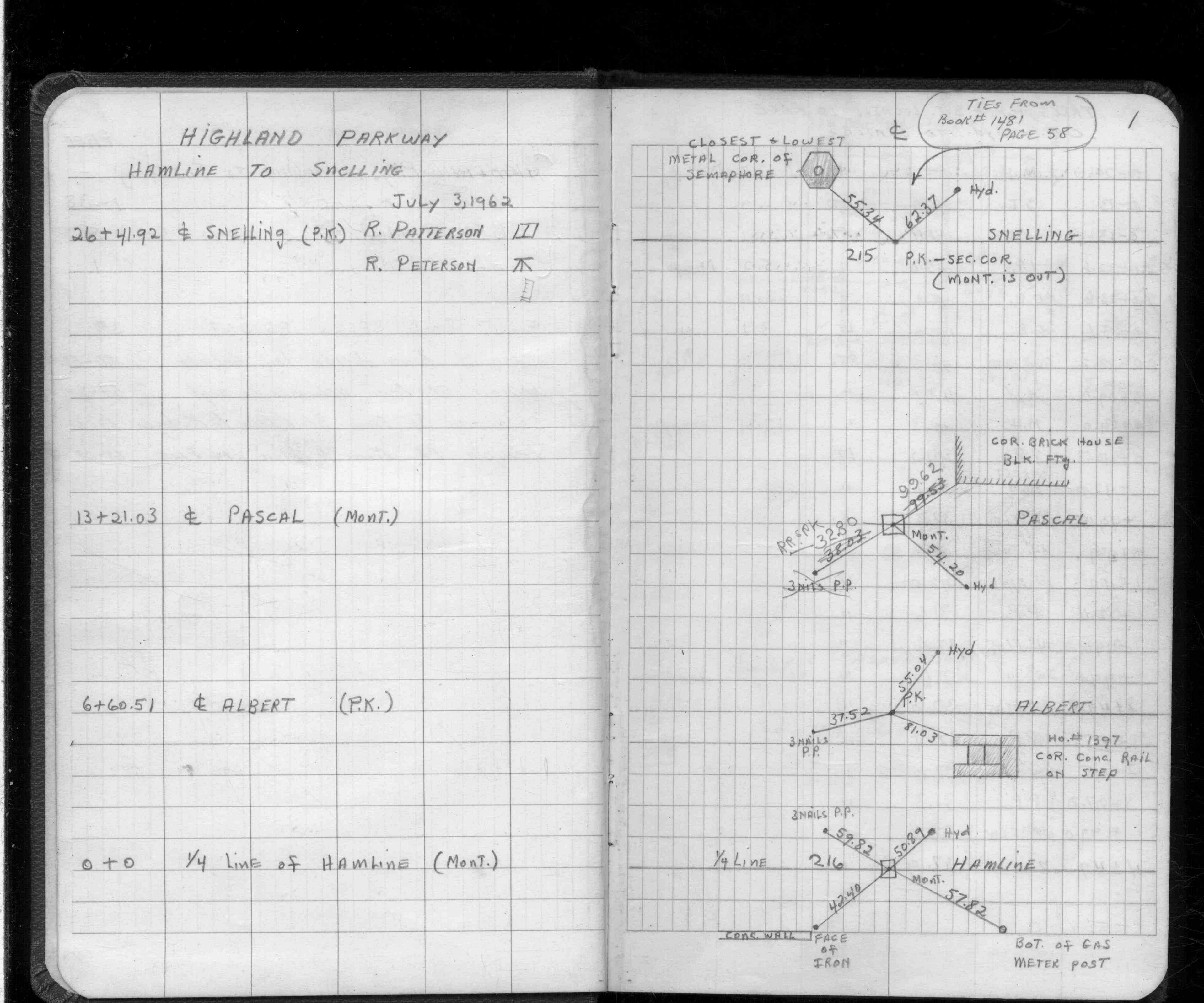
| FB 1549Lp.37 | ||||||
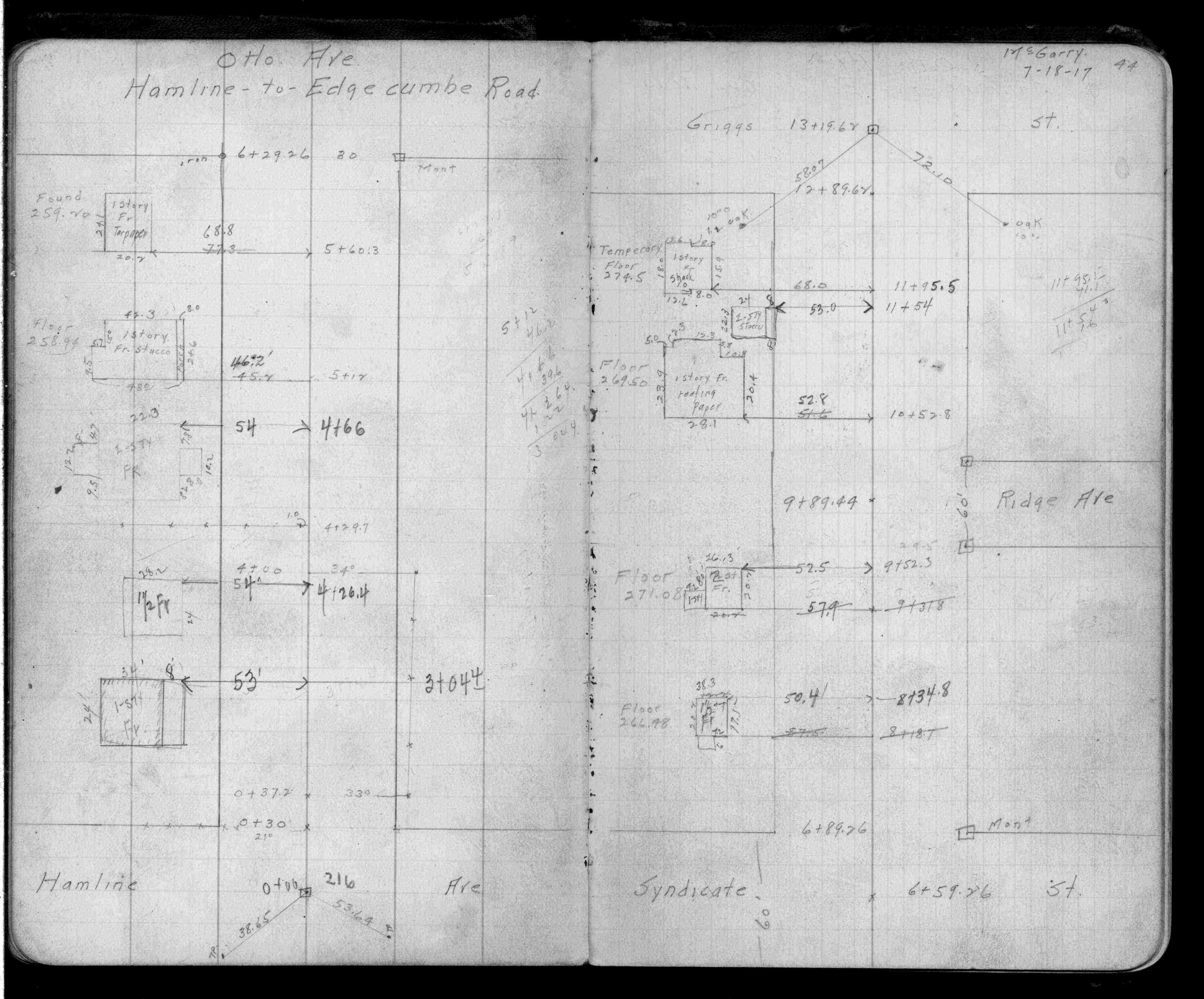
| FB 1673Ap. 56 ,59 ,61 | ||||||
| FB 1676Ap.72 | ||||||
| FB 1676Bp. 15 ,16 ,21 | ||||||
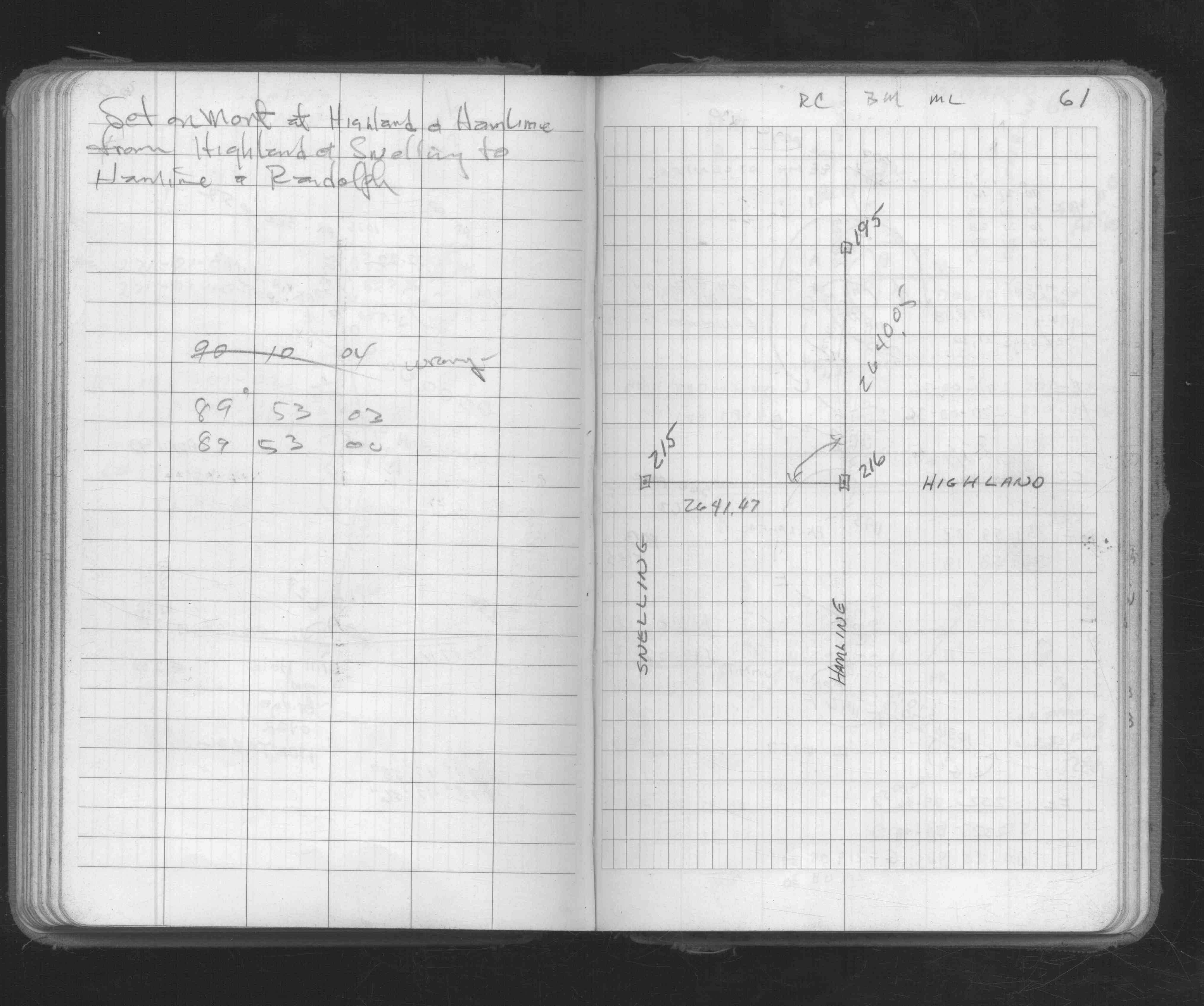
| FB 1689Ap.08 | ||||||
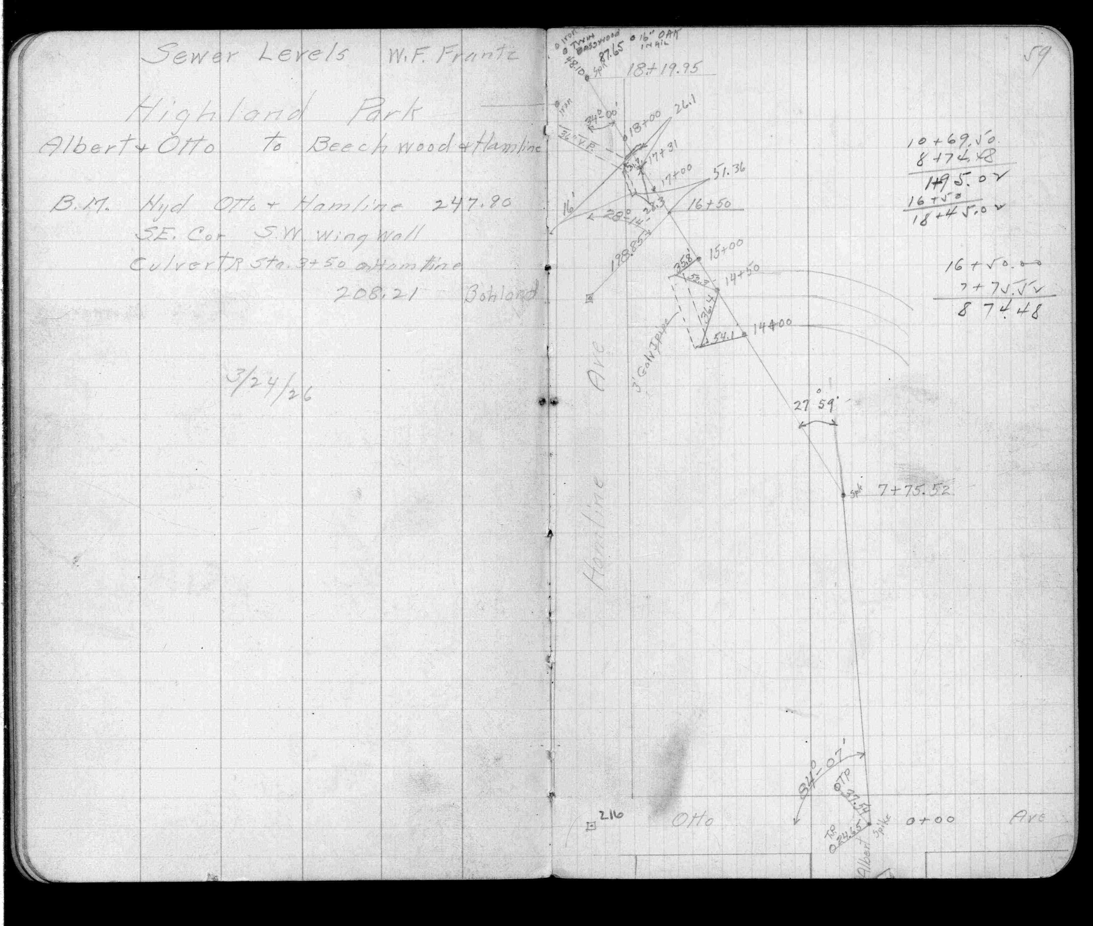
| FB 1694p. 31 ,32 | ||||||
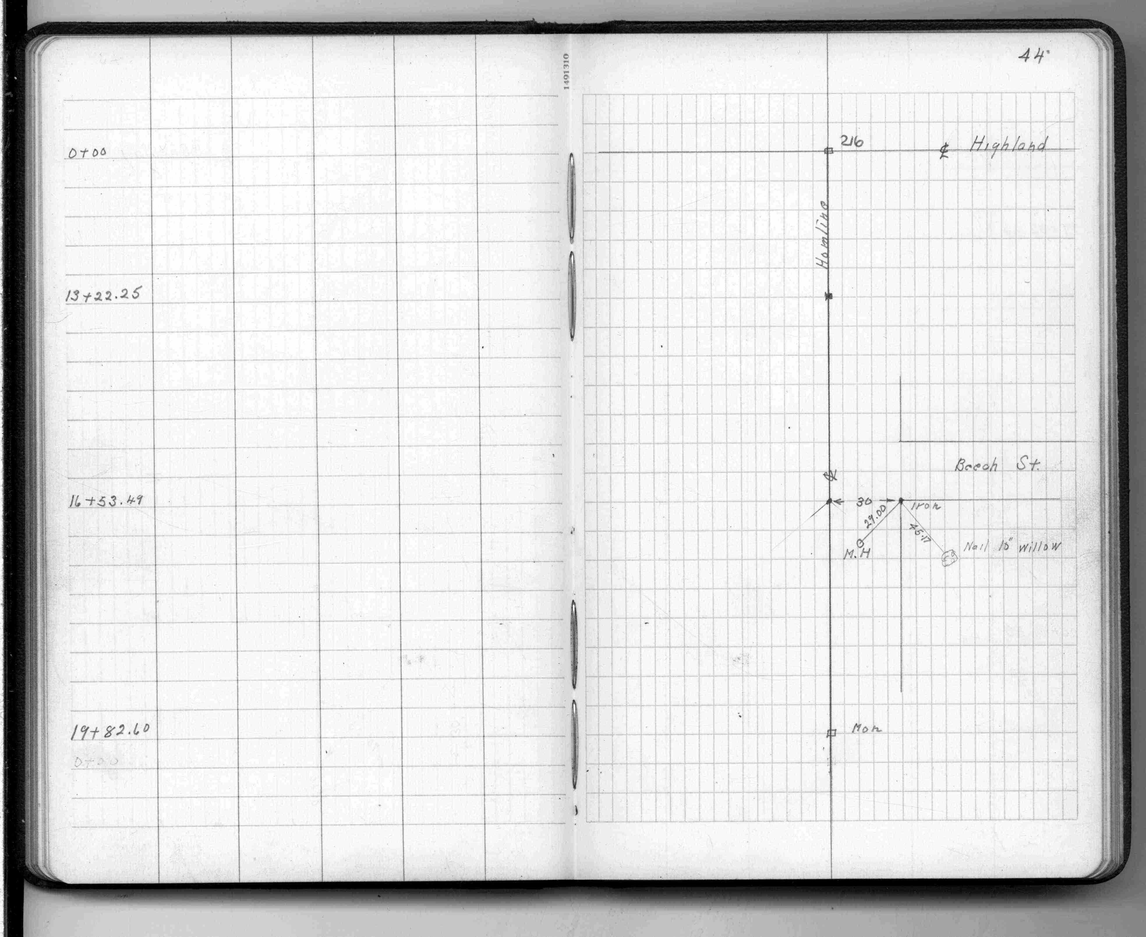
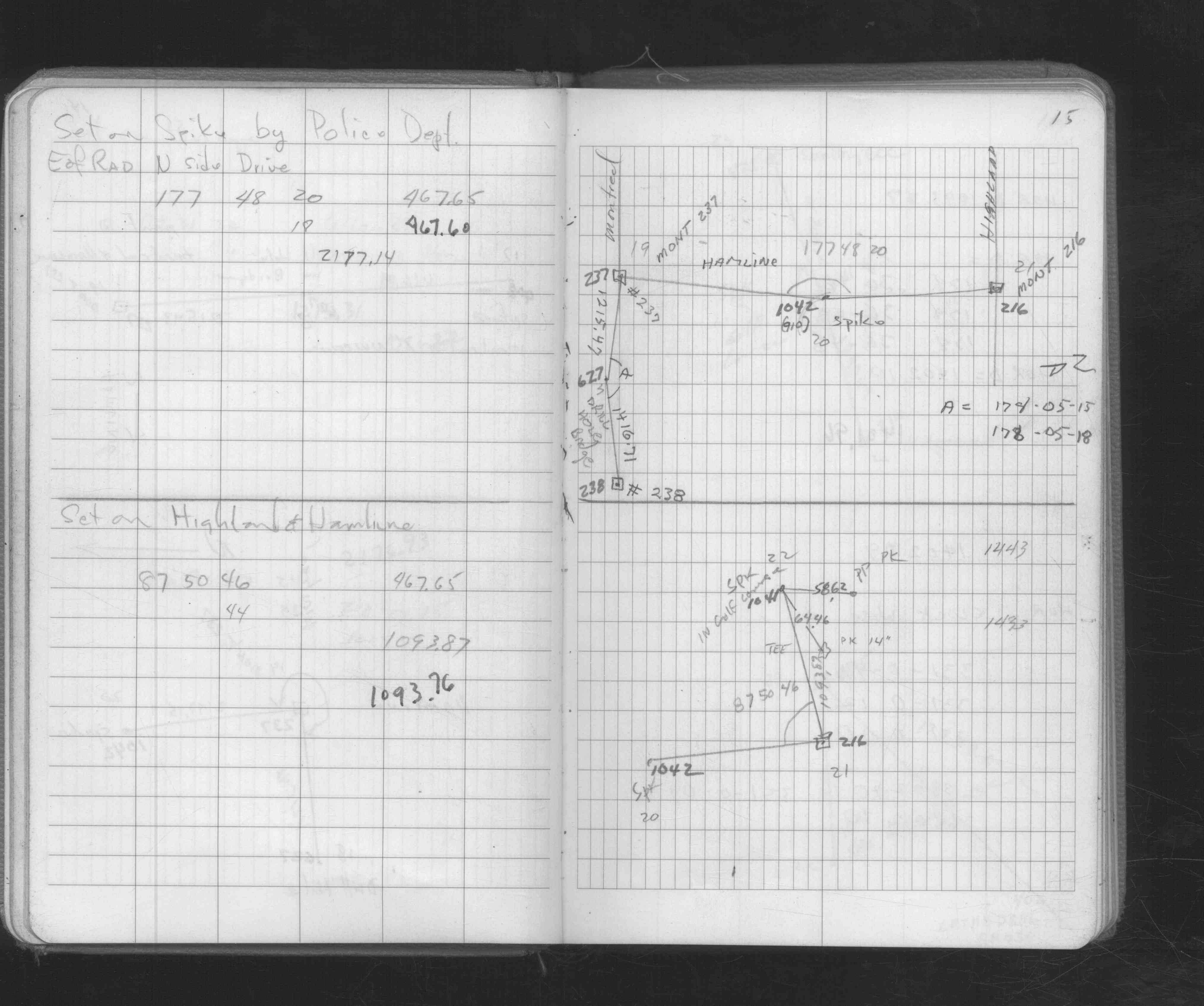
| FB 1736p.11 |
| FILE | SURVEYOR | LIC. NO. | DATE SIGNED | DATE TIED |
|---|---|---|---|---|
| 0216-0694-A.tif | Richard C. Person | 23300 | December 28, 1995 | December 7, 1995 |
| ST_157-234p216.jpg | none | none | none | none |
| 0216-0694-A.dwf | none | none | none | none |