| NAD83 COORDINATES (1986 adj.): |
|---|
| * X= 563958.249 Y= 144324.447 Z= 000.00 LSQ 12/06/1991 S FLT |
| X= 563958.25 Y= 144324.45 Z= 697.4 02/13/2007 RTK-VRS |
| 2/13/2007 | Placed ties on GM. See CofL 0239-2696-A |
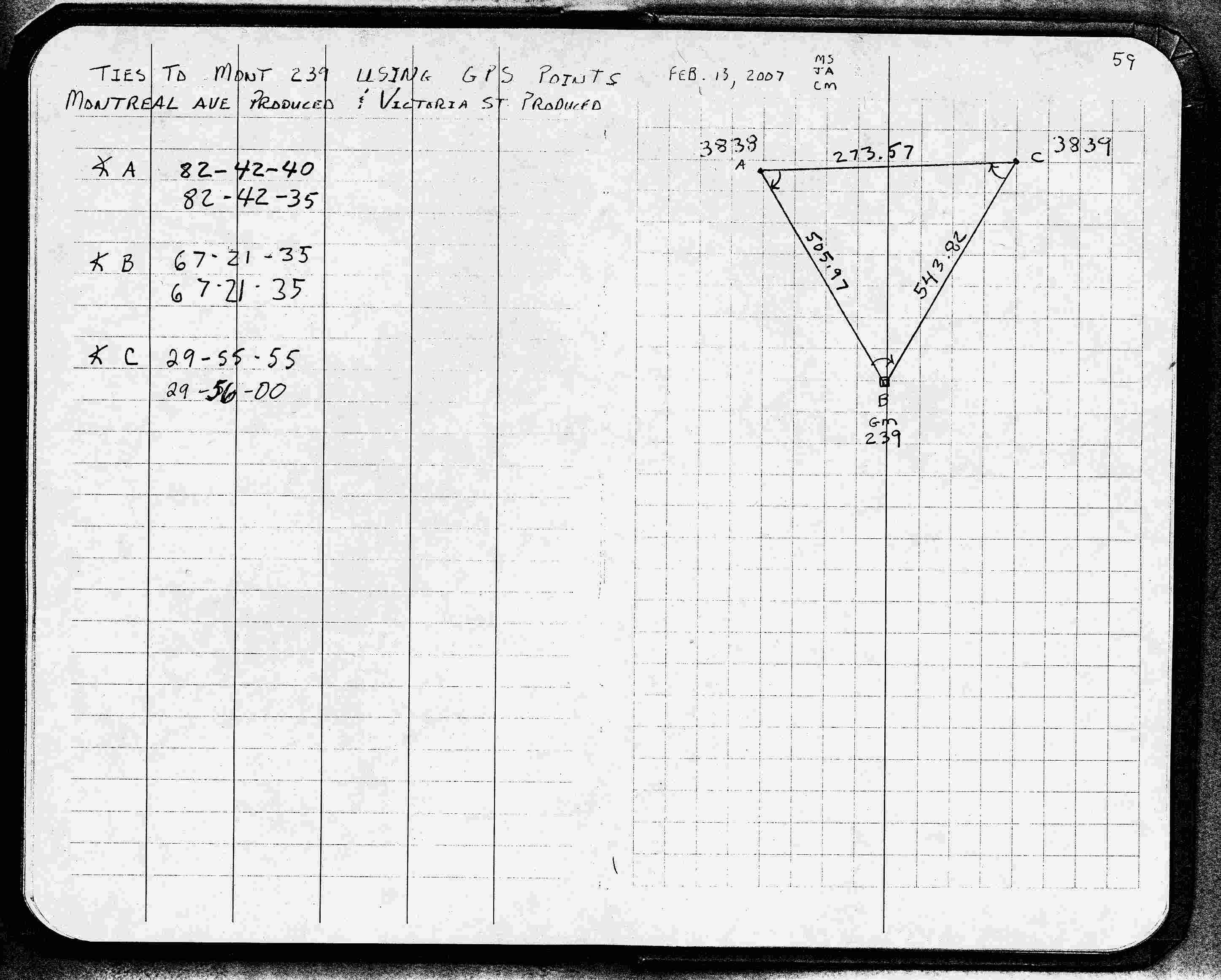
| 2/13/2007 | Located GM by traverse (double stubbed) from GPS mag nails. See FB 1739 p.59 See pts 3838 & 3839 |
| 2/1/2007 | Fd GM 0.3 ft above grade. Photos taken. |
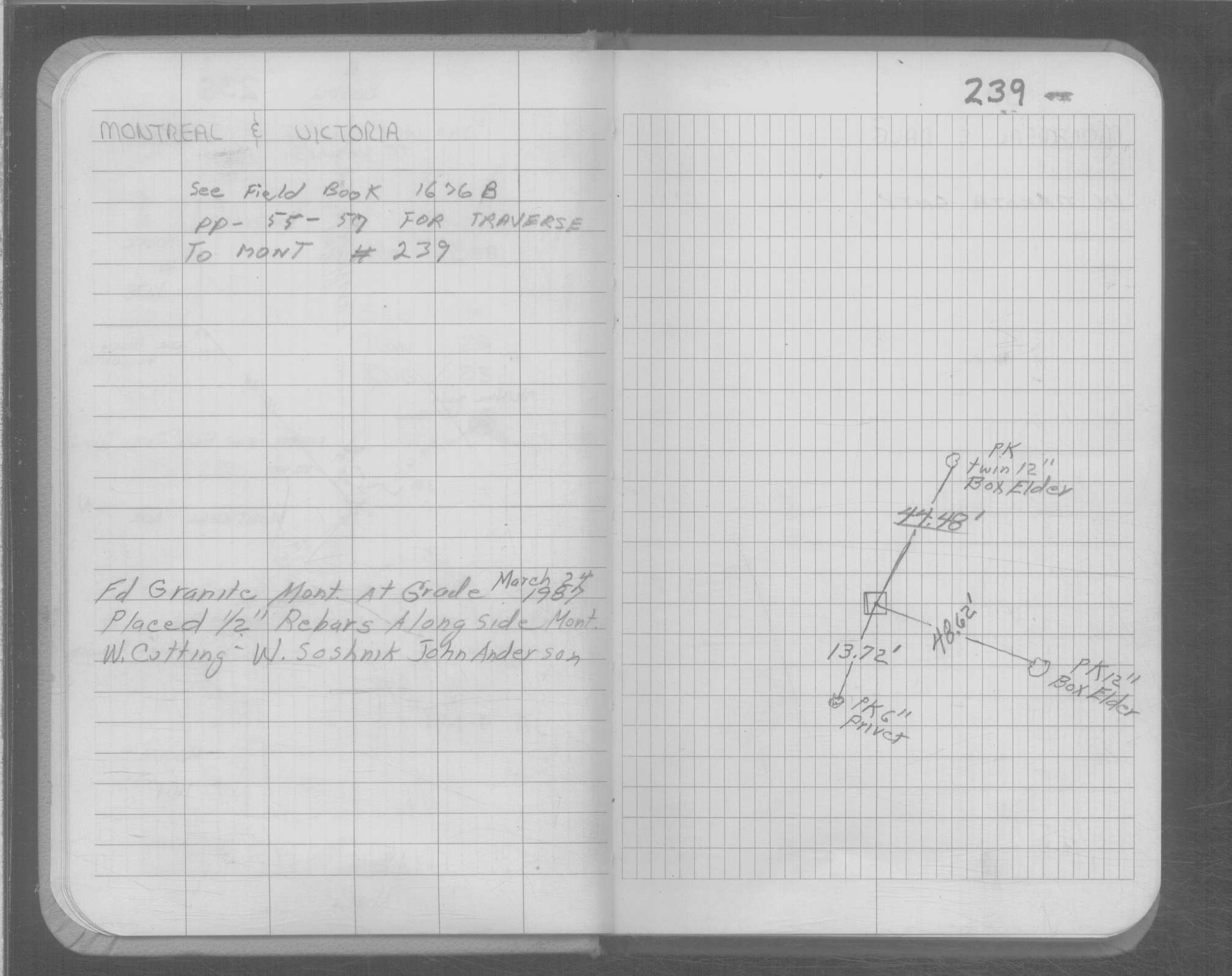
| 3/1/1987 | (Unknown date Mar __, 1987 ) GM set to grade with 1/2" rebars along side |
| 8/1/1894 | (Unknown date Aug __, 1894 ) Monument set by J H Armstrong |
Above is NOT an all inclusive history of this point. Please review all the links below.
| PLS NOTES | Field | Cross Section | Sewer | J.B. Irvine | Monument | River Survey |
|---|---|---|---|---|---|---|
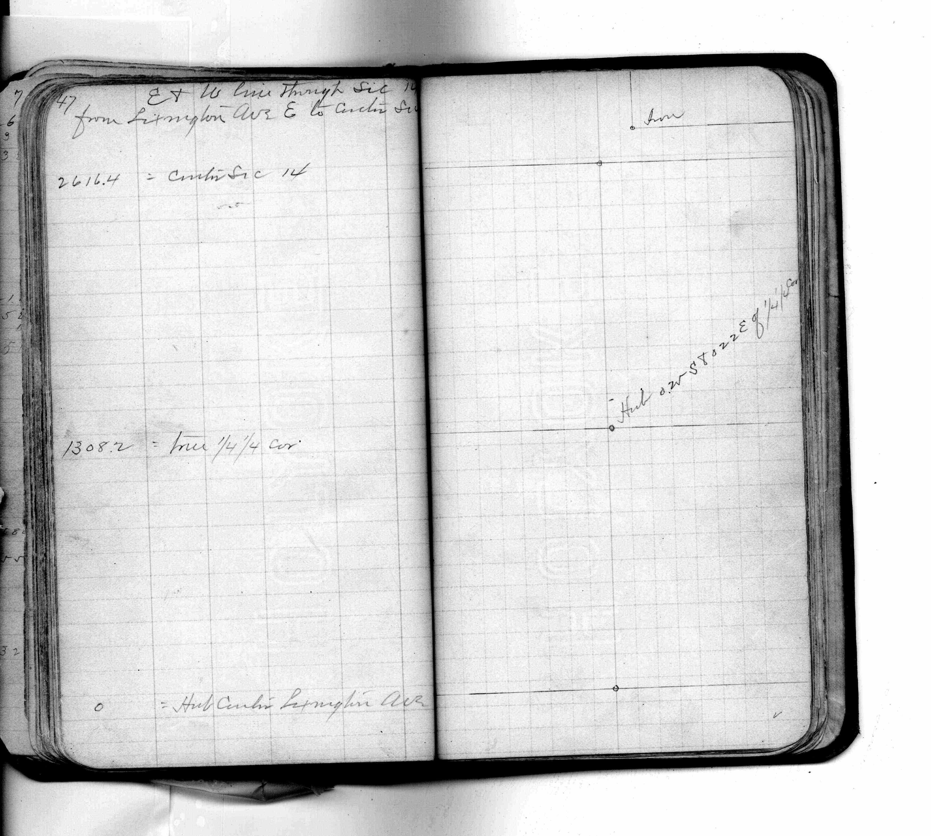
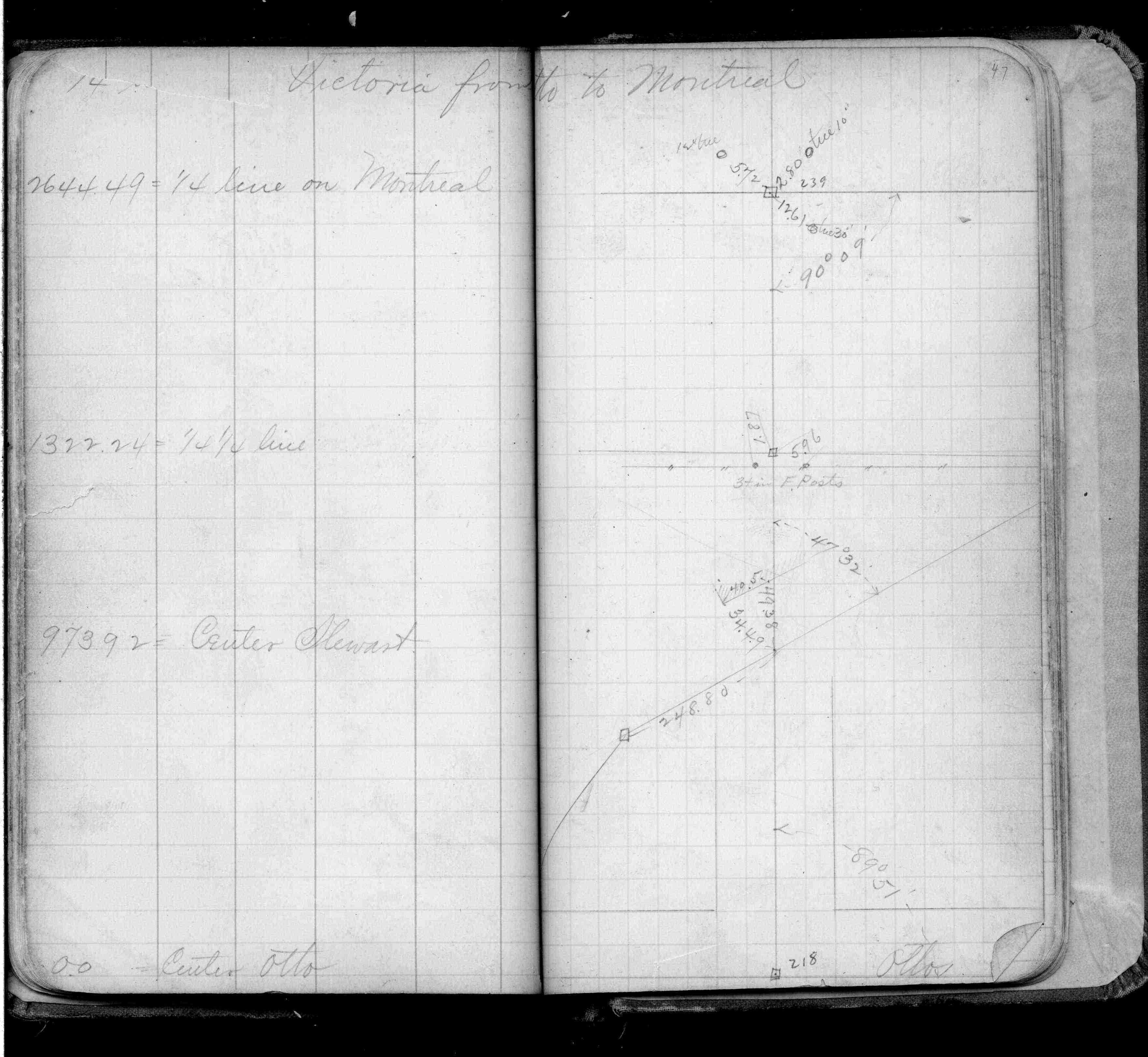
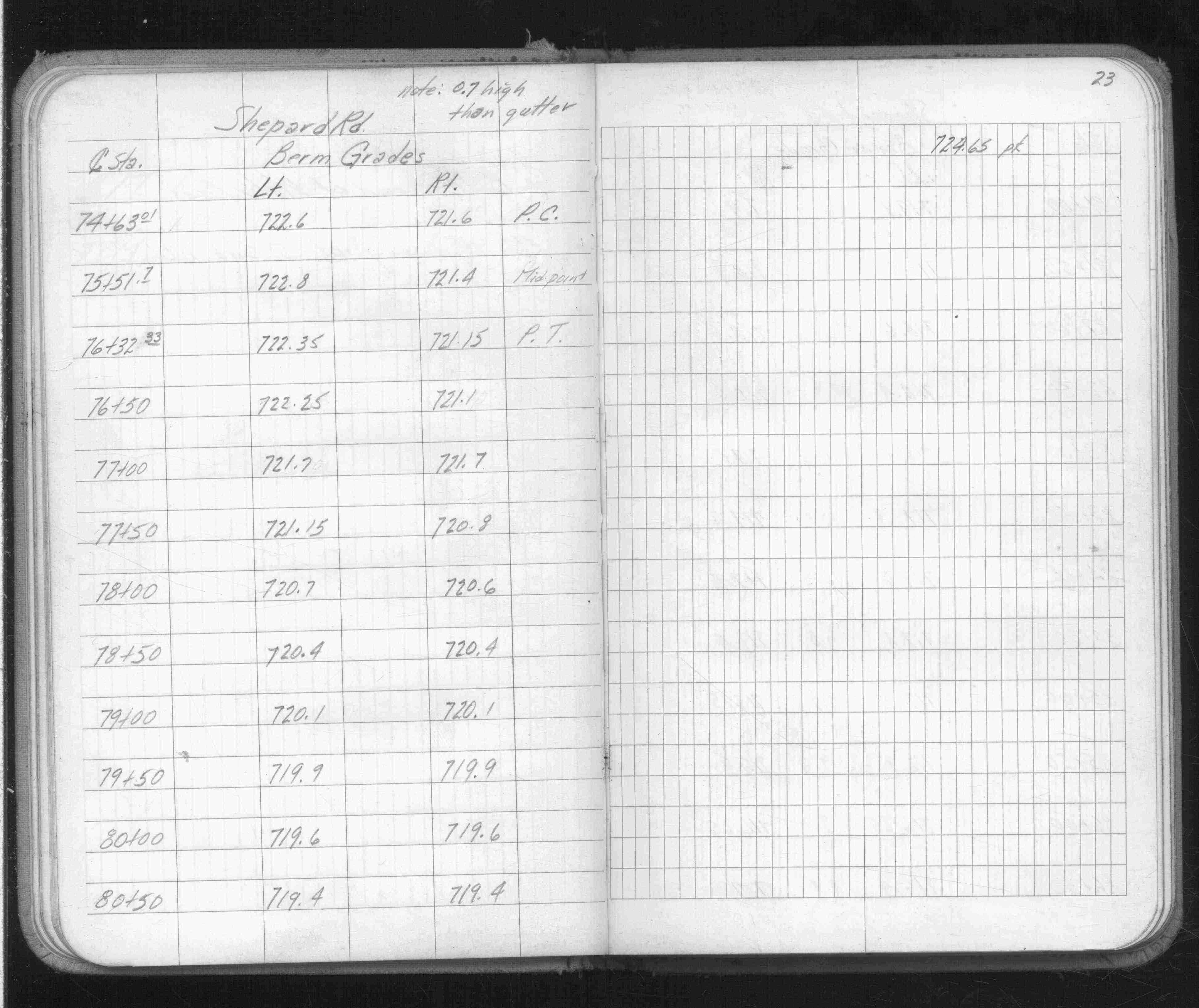
| FB 0206p. 47 ,49 | ||||||
| FB 0253p.47 | ||||||
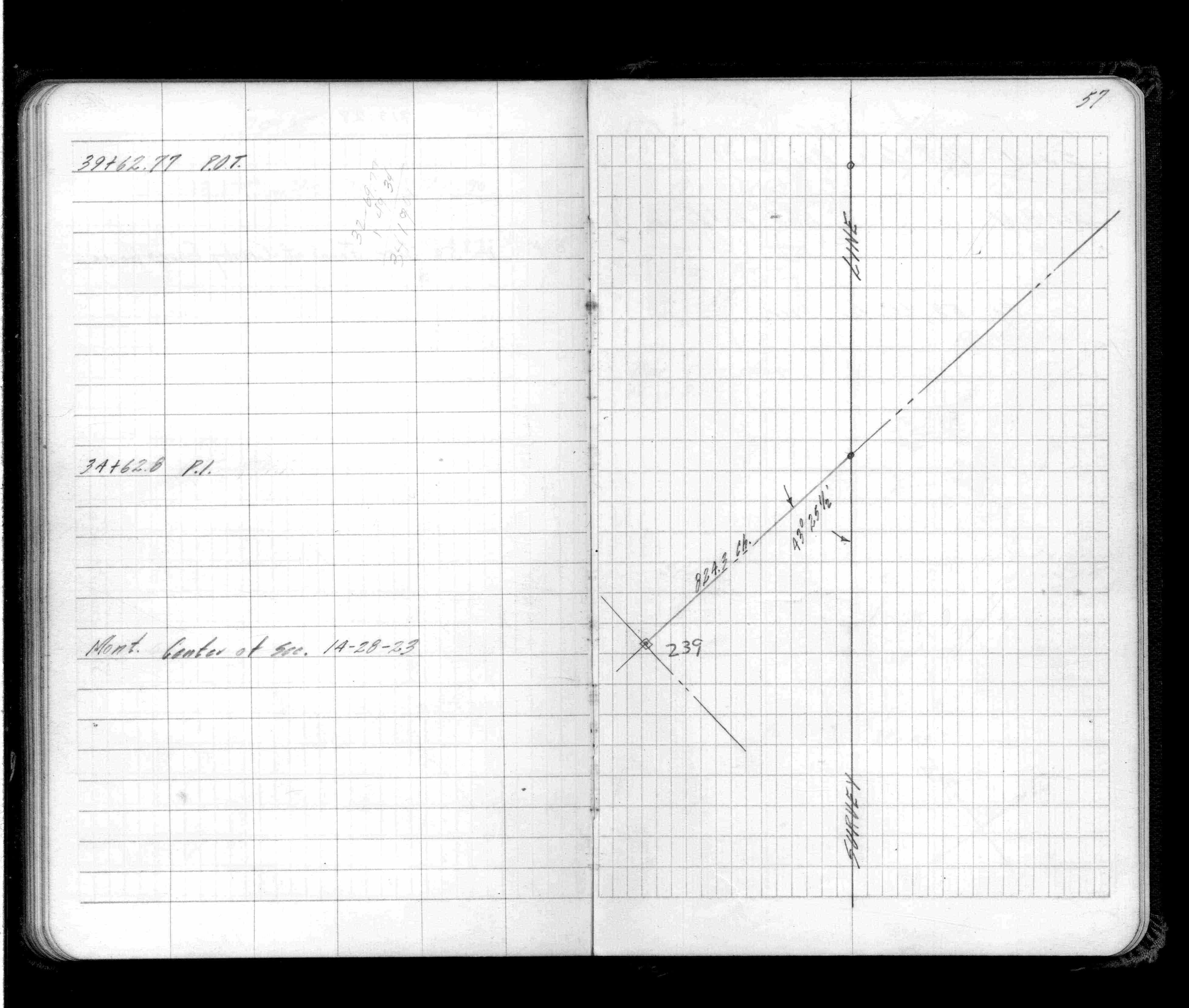
| FB 1514p.57 | ||||||
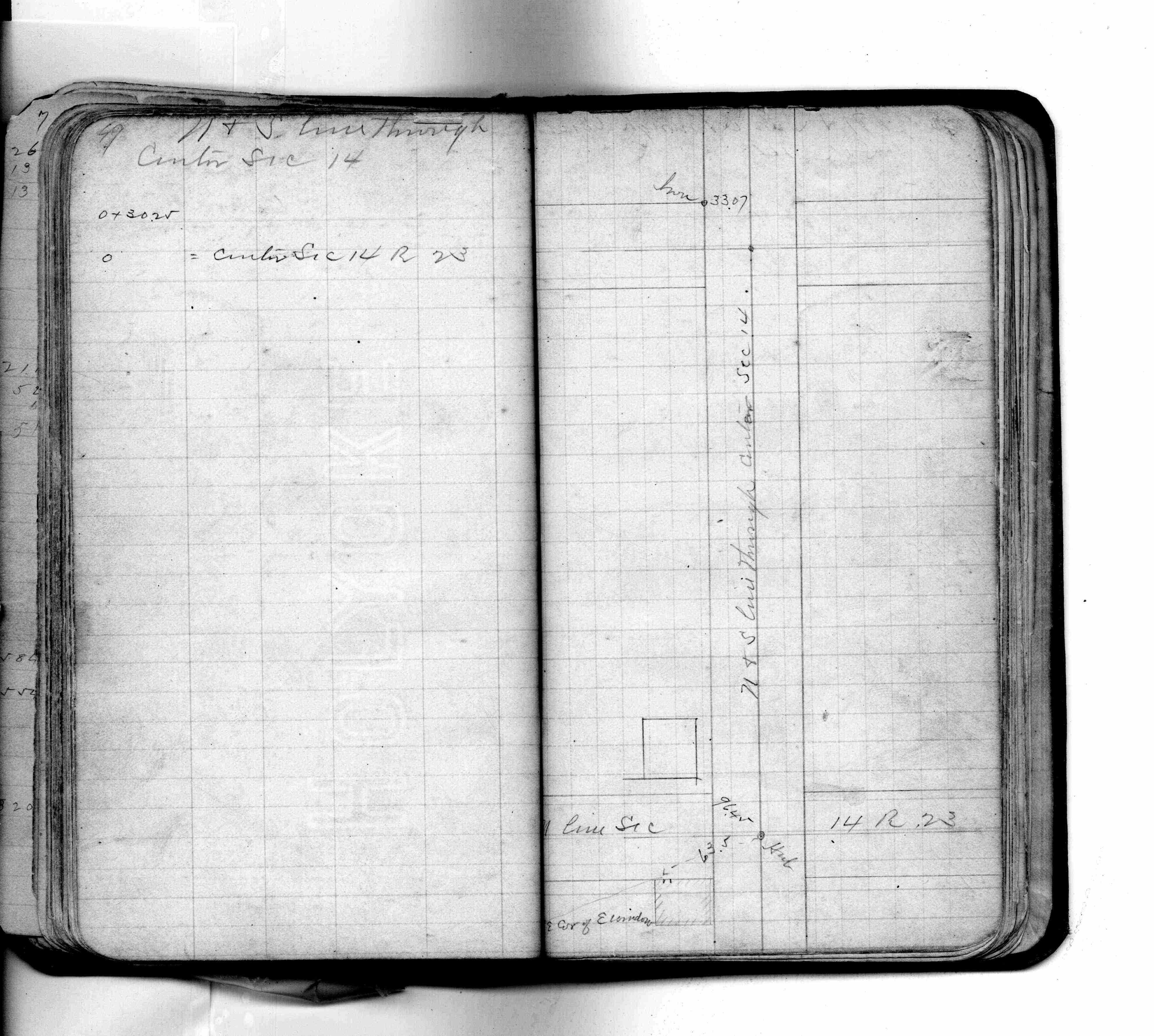
| FB 1514Gp.23 | ||||||
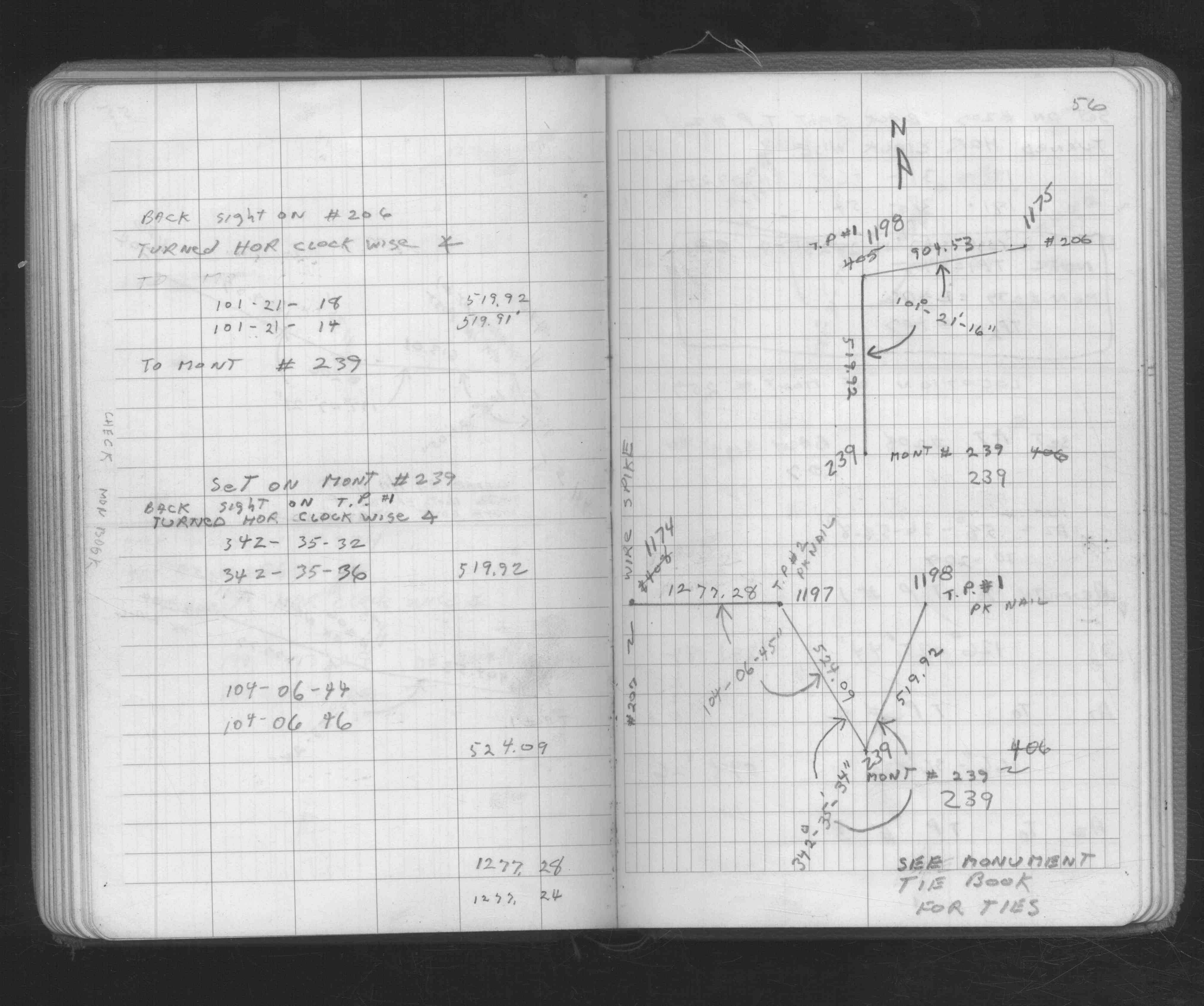
| FB 1676Bp.56 | ||||||
| FB 1739p.59 |
| FILE | SURVEYOR | LIC. NO. | DATE SIGNED | DATE TIED |
|---|---|---|---|---|
| 0239-2696-A.tif | none | none | none | February 13, 2007 |
| ST_235-312p239.jpg | none | none | none | none |
| 0239-2696-A.dwf | none | none | none | none |
| FILE | PHOTO DATE | COMMENTS |
|---|---|---|
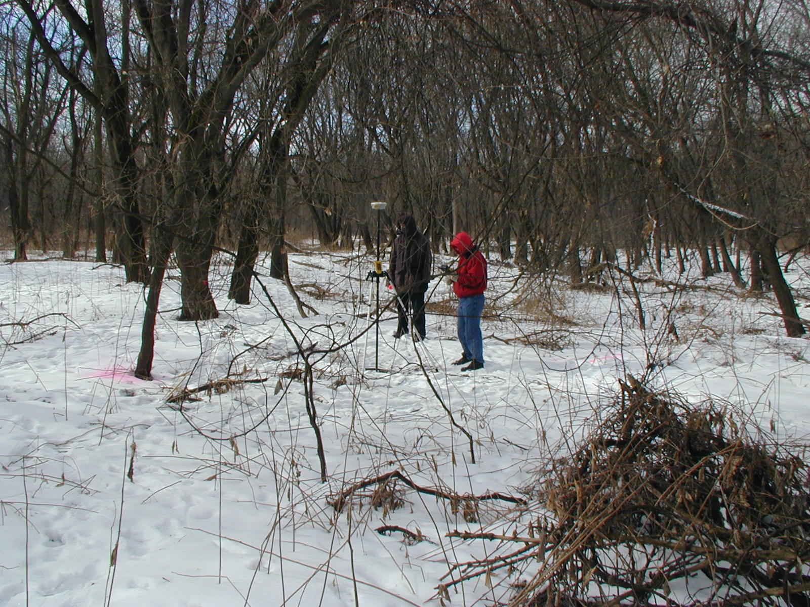
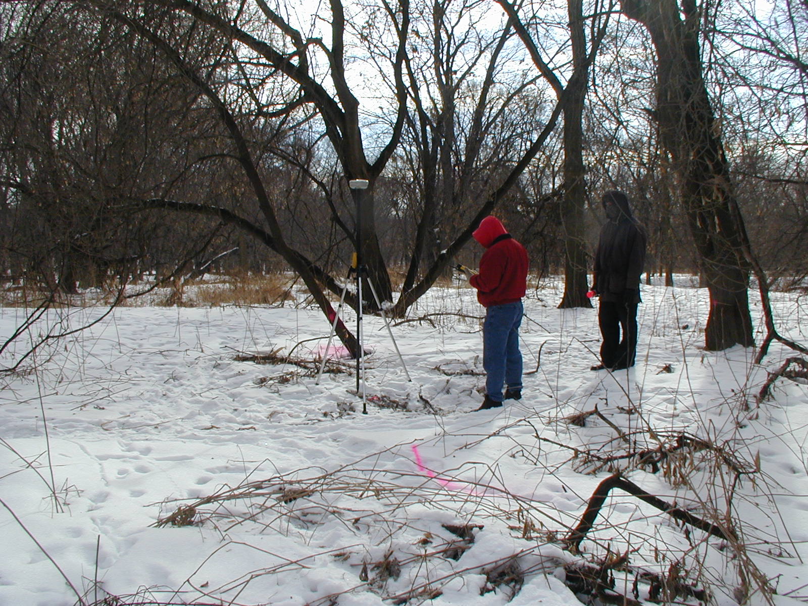
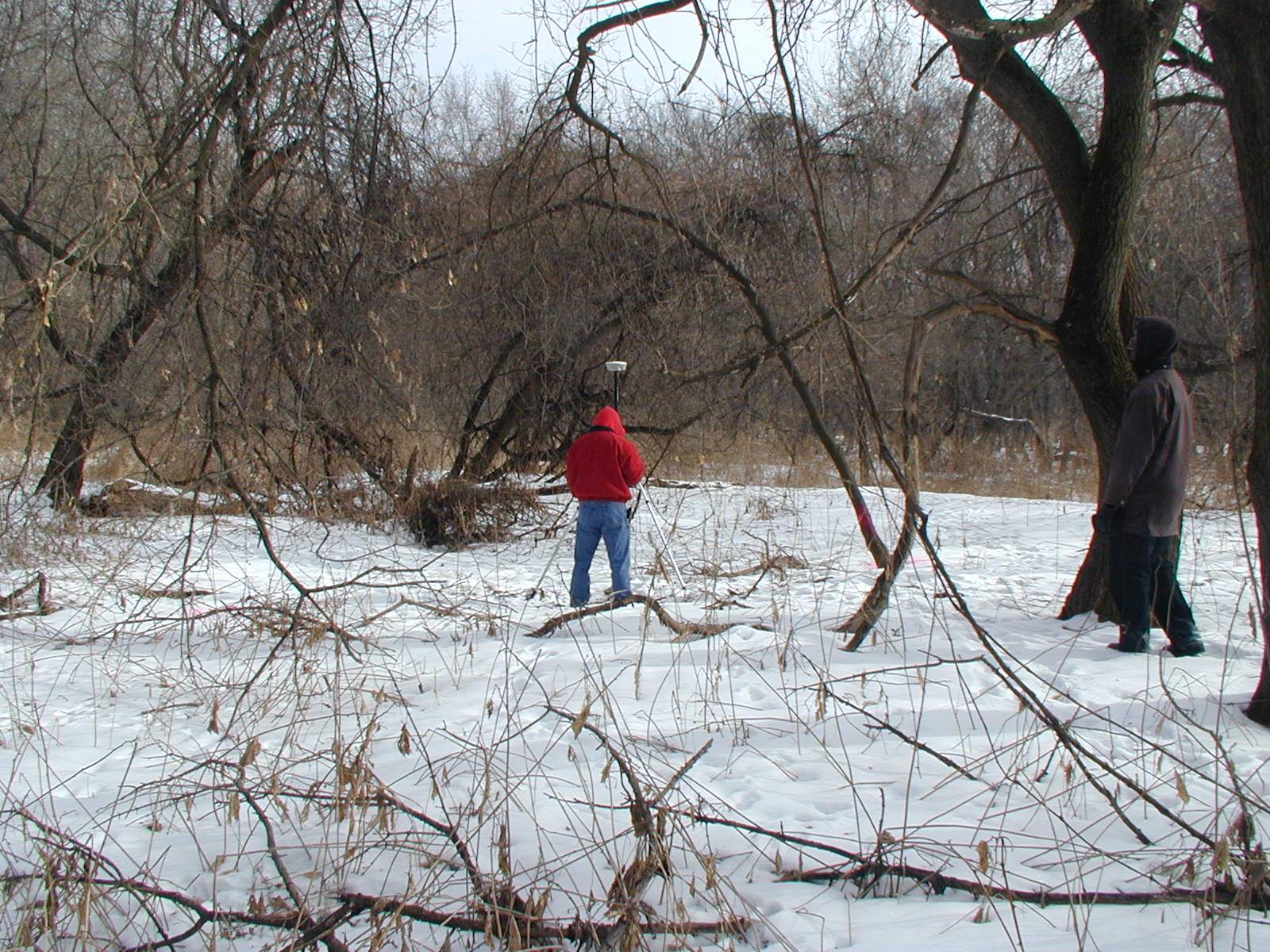
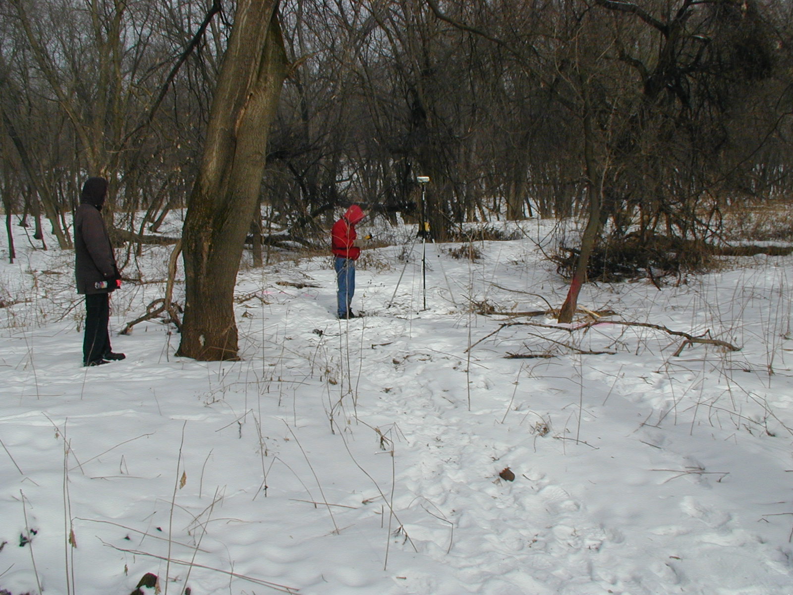
| 0239-2696-5.jpg | February 1, 2007 | Looking West. |
| 0239-2696-4.jpg | February 1, 2007 | Looking South. |
| 0239-2696-3.jpg | February 1, 2007 | Looking East. |
| 0239-2696-2.jpg | February 1, 2007 | Looking North. |
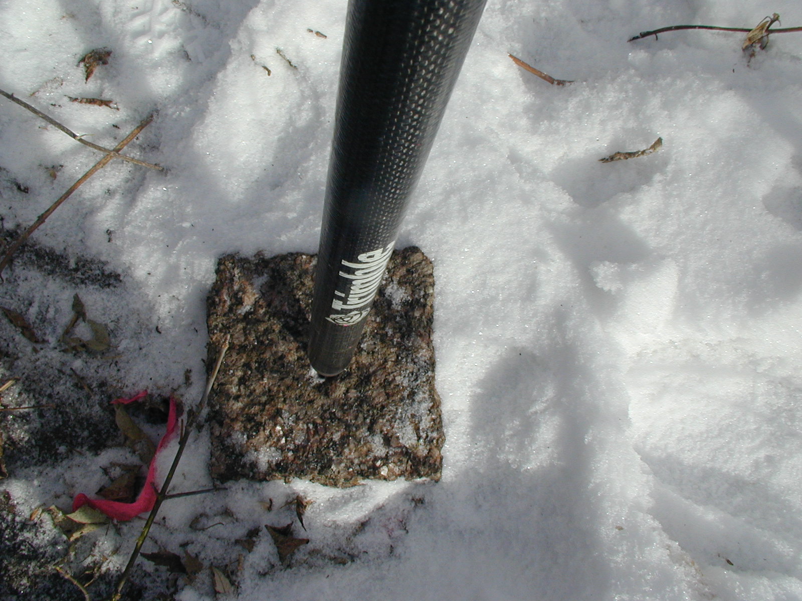
| 0239-2696-1.jpg | February 1, 2007 | Close-up of the GM. |