| NAD83 COORDINATES (1986 adj.): |
|---|
| * X= 595550.833 Y= 141739.692 Z= 000.00 CMP 12/17/1991 |
| 3/21/1976 | MnDot fd 8"x8" GM, place 6' steel fence post along east edge of GM, left GM as fd. See CofL 0272-2596-A |
| 10/1/1847 | (Unknown date Oct __, 1847 ) Isaac N Higbee deputy surveyor set post. Tied to 1 BT. See IH p.078-079 2822 |
Above is NOT an all inclusive history of this point. Please review all the links below.
| PLS NOTES | Field | Cross Section | Sewer | J.B. Irvine | Monument | River Survey |
|---|---|---|---|---|---|---|
| IH p.078-079 | FB 0355CPYp.54 | |||||
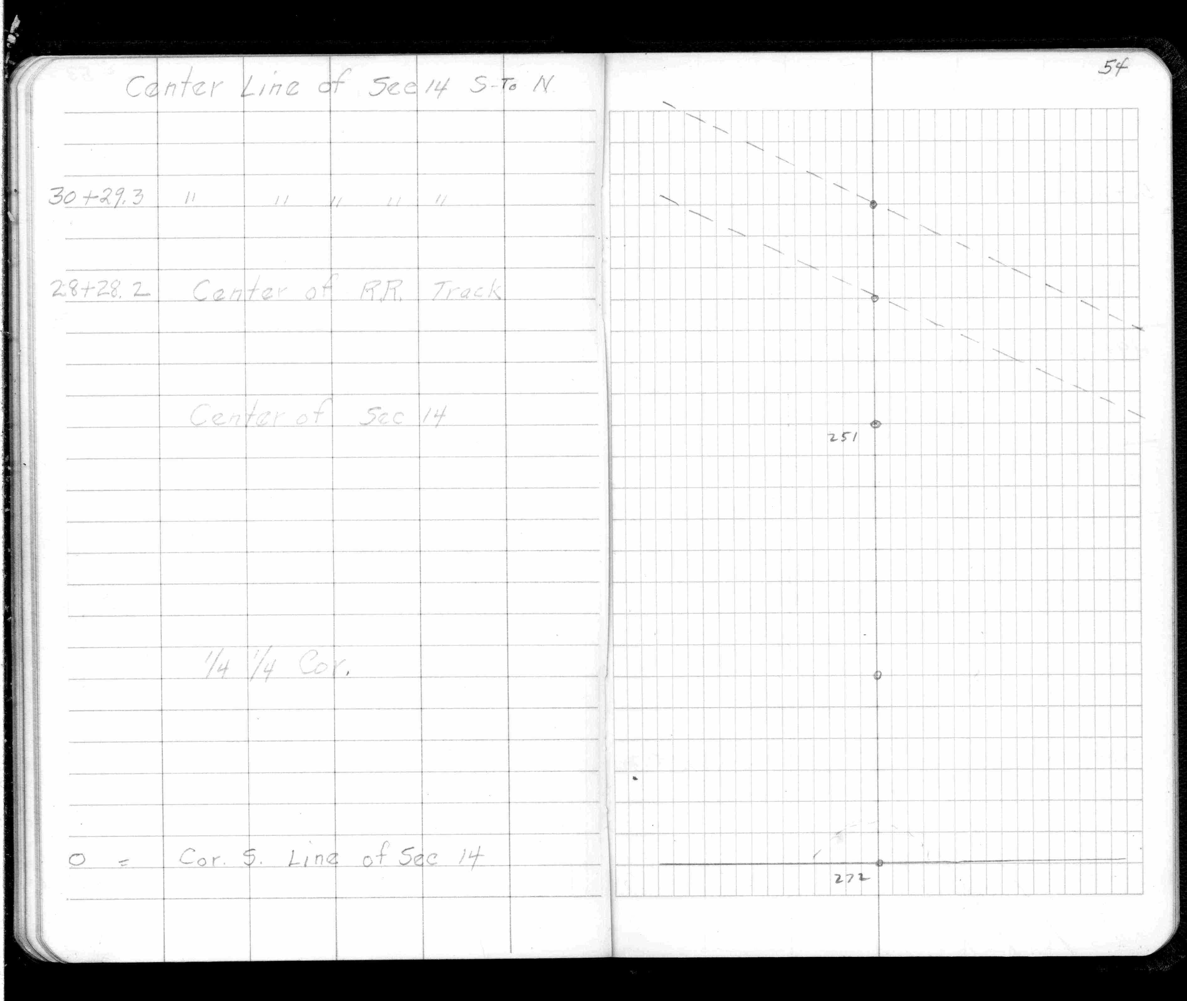
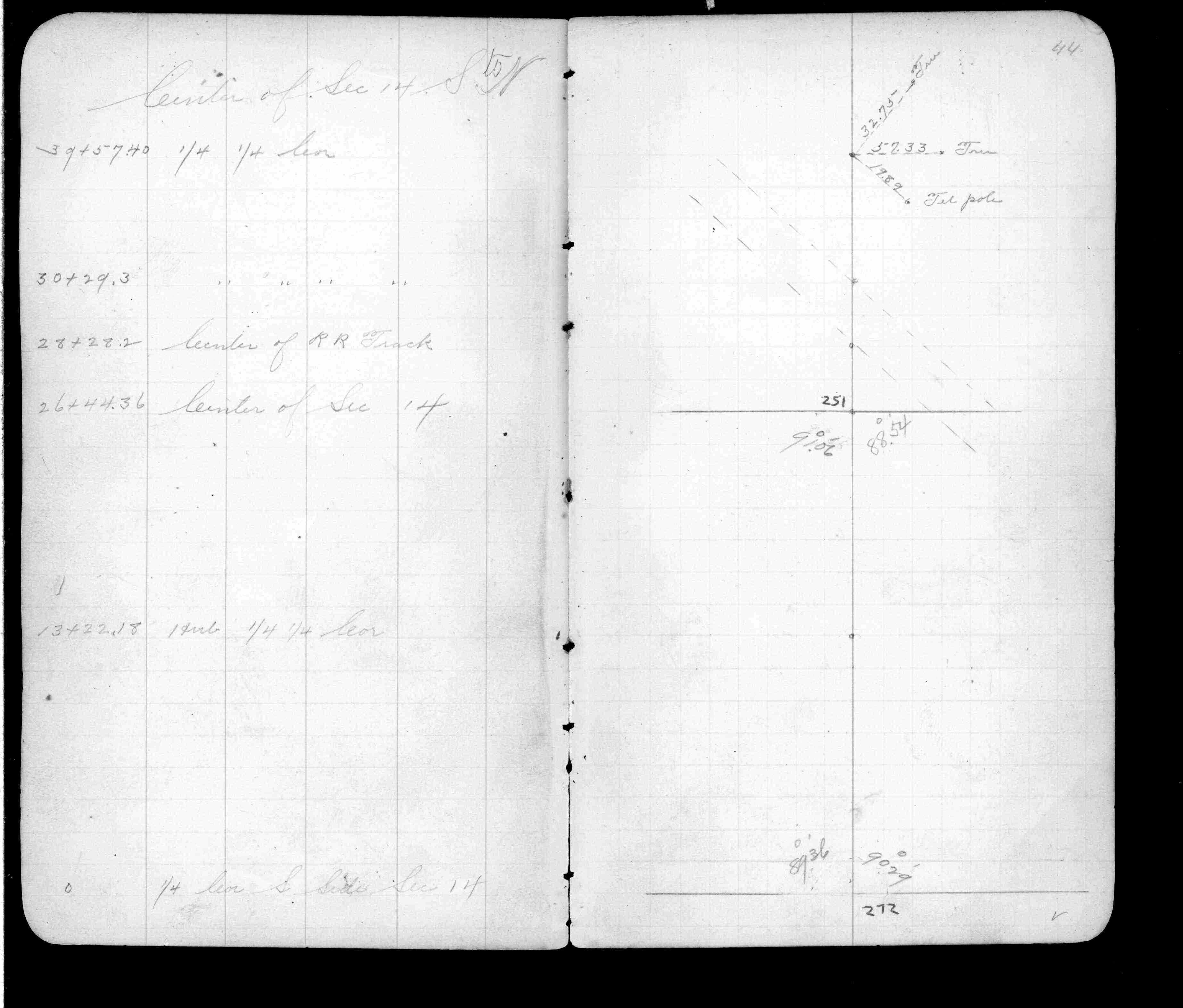
| FB 0357p. 44 ,46 | ||||||
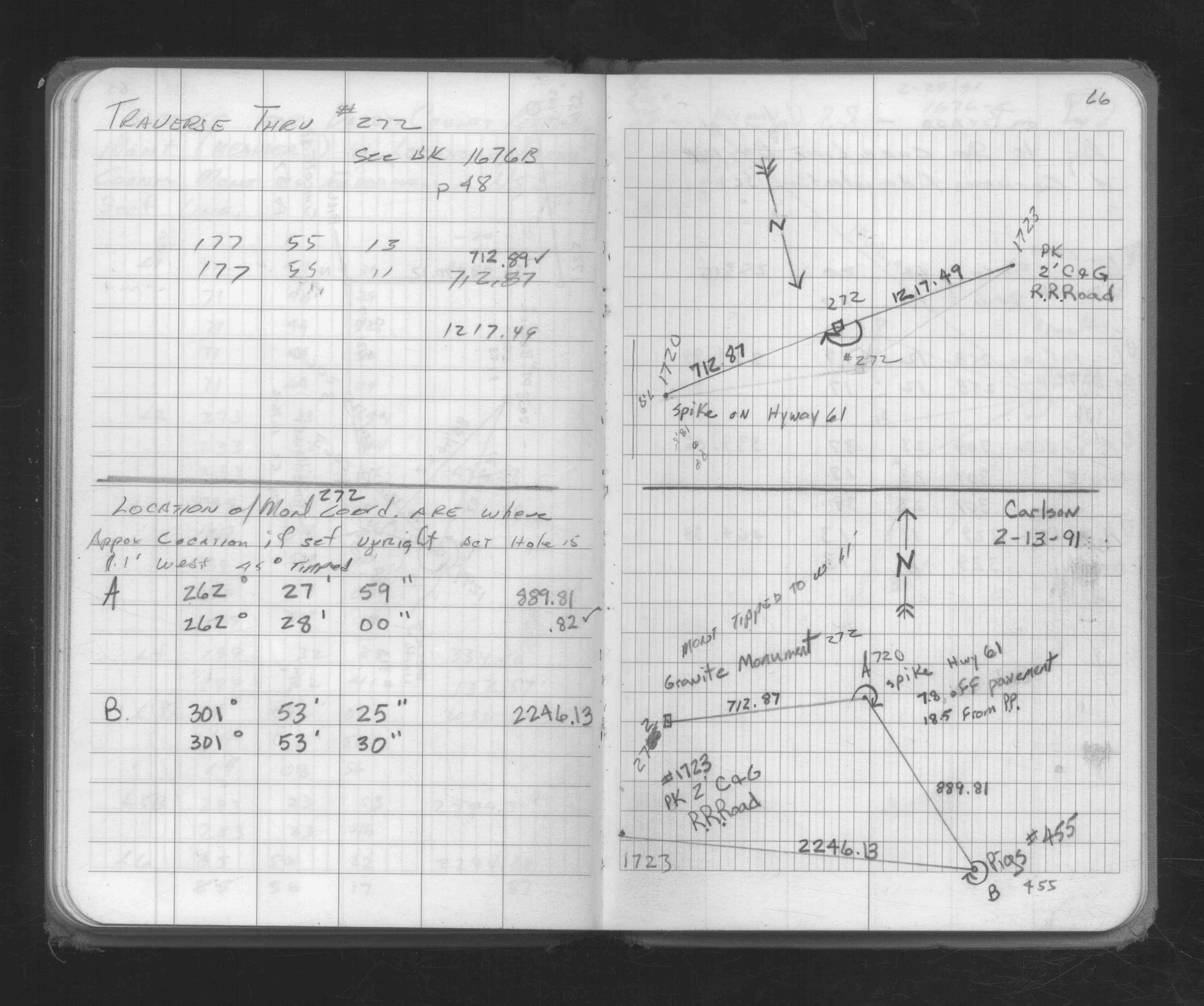
| FB 1676Bp.48 | ||||||
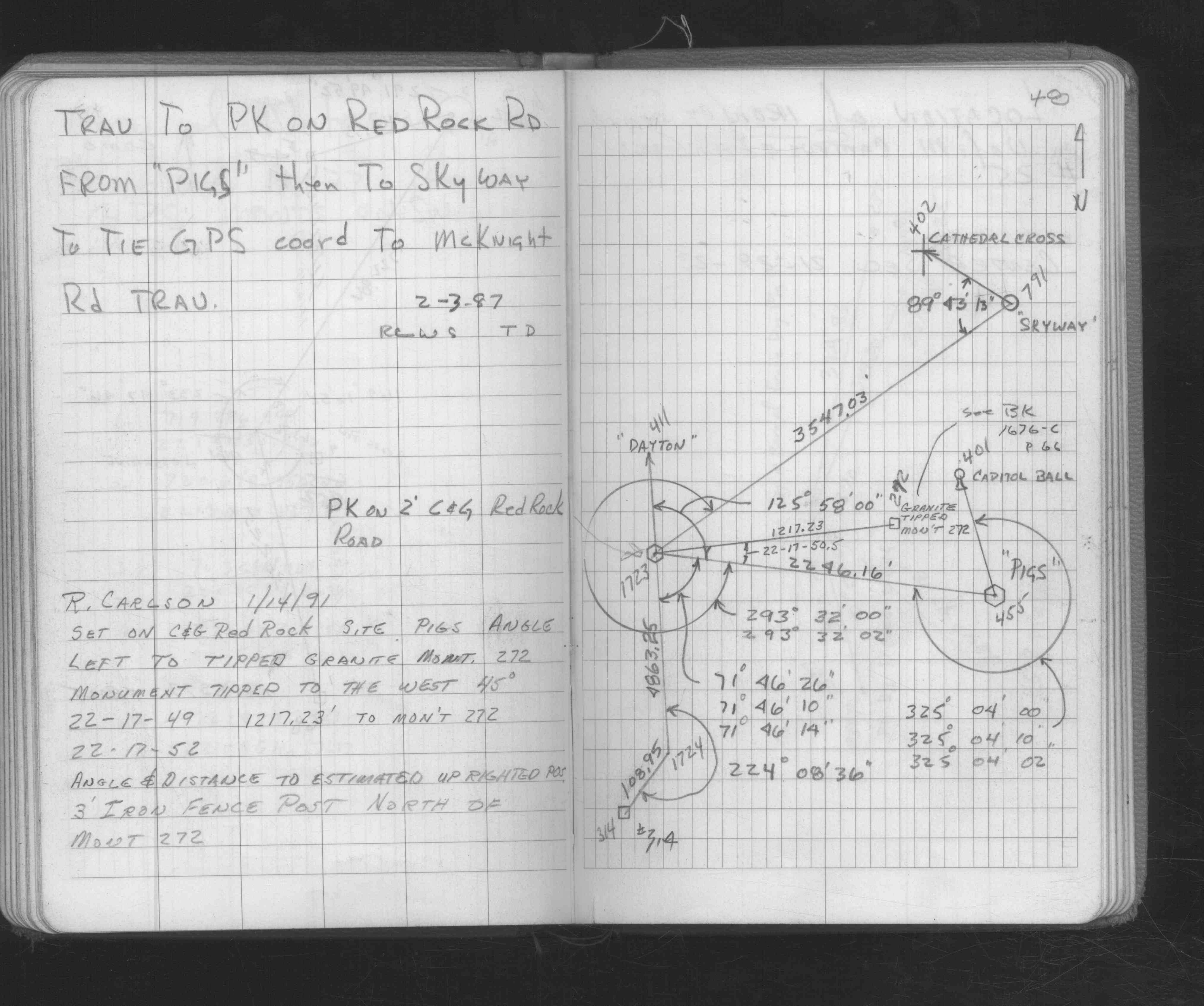
| FB 1676Cp.66 |
| FILE | SURVEYOR | LIC. NO. | DATE SIGNED | DATE TIED |
|---|---|---|---|---|
| 0272-2596-A.tif | David D. Pearson | 11752 | May 25, 1976 | April 21, 1976 |
| ST_235-312p272.jpg | none | none | none | none |
| 0272-2596-A.dwf | none | none | none | none |