| NAD83 COORDINATES (1986 adj.): |
|---|
| * X= 550777.903 Y= 139034.360 Z= 000.00 CMP 12/17/1991 |
| NAD83 COORDINATES (1996 adj.): |
|---|
| X= 550777.653 Y= 139034.979 Z= 707.8 12/24/2012 MnDot |
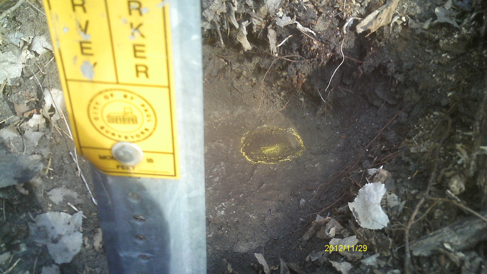
| 12/24/2012 | CIM found by MnDOT. Coordinate established using total station w/ static GPS control (1996 adj). City Elev = 13.54 ft |
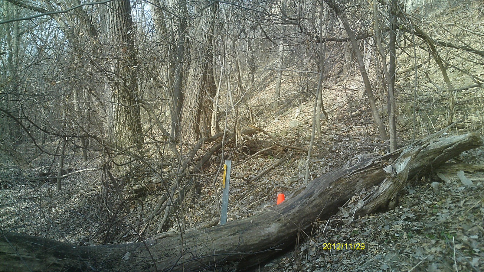
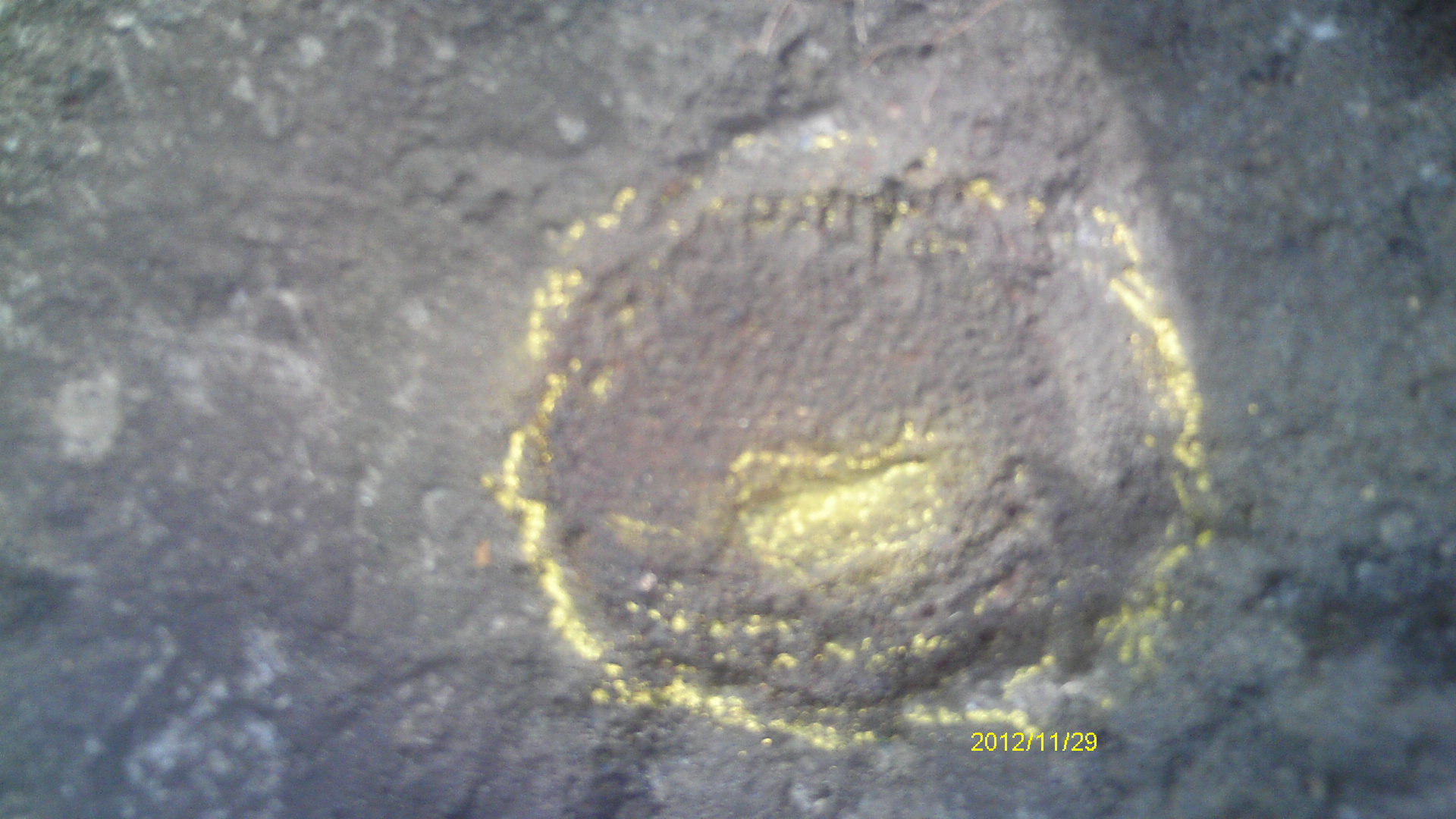
| 11/29/2012 | Found CIM 0.6 ft below surface grade. Photos taken. |
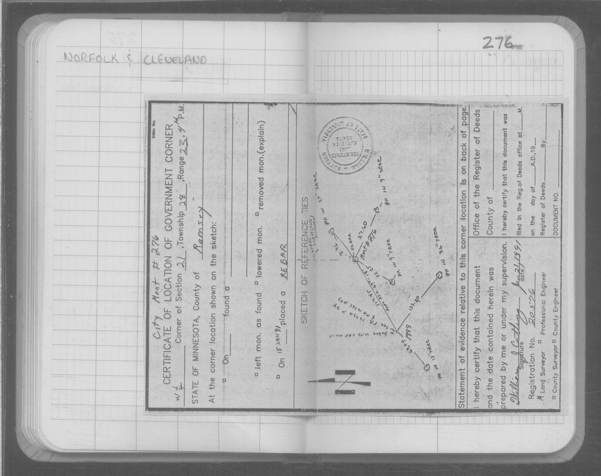
| 3/31/1999 | Set CIM concrete base. See CofL 0276-xxxx-B |
| 3/30/1999 | Fd rebar, placed ties, removed rebar. See CofL 0276-xxxx-B |
| 1/15/1991 | Placed rebar. See CofL 0276-xxxx-A |
Above is NOT an all inclusive history of this point. Please review all the links below.
| PLS NOTES | Field | Cross Section | Sewer | J.B. Irvine | Monument | River Survey |
|---|---|---|---|---|---|---|
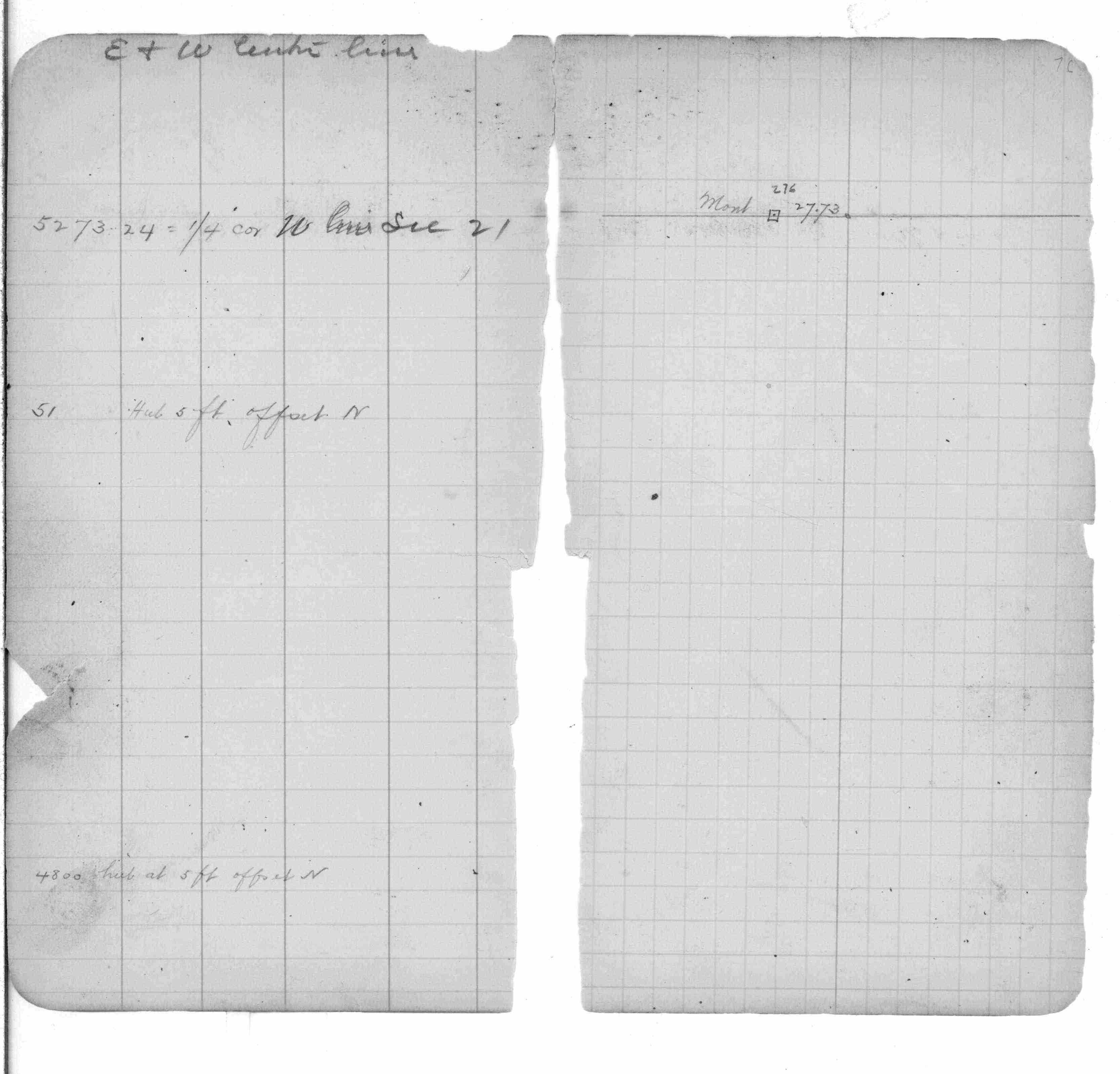
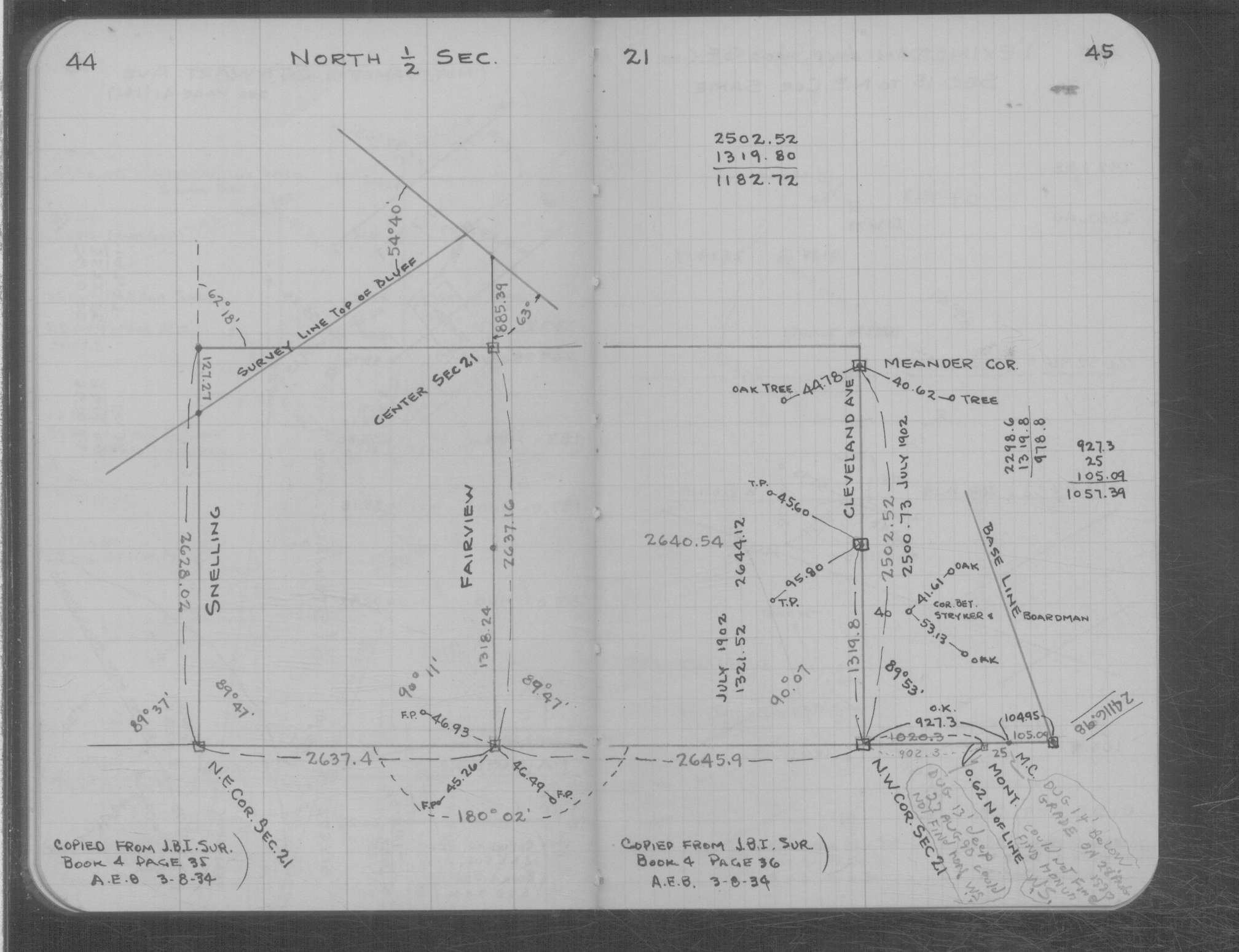
| FB 0253p.76 | MS 0007 p.044-045 |
| FILE | SURVEYOR | LIC. NO. | DATE SIGNED | DATE TIED |
|---|---|---|---|---|
| 0276-xxxx-B.tif | Jeffery L. Grosso | 13144 | April 20, 1999 | March 31, 1999 |
| 0276-xxxx-A.tif | William J. Cutting | 20576 | January 21, 1991 | January 15, 1991 |
| ST_235-312p276.jpg | none | none | none | none |
| ST_235-312p276.jpg | none | none | none | none |
| 0276-xxxx-A.dwf | none | none | none | none |
| FILE | PHOTO DATE | COMMENTS |
|---|---|---|
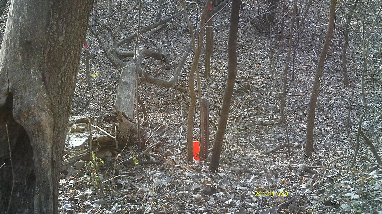
| 0276-__ip-7.jpg | November 29, 2012 | Looking west. |
| 0276-__ip-6.jpg | November 29, 2012 | Looking south. |
| 0276-__ip-5.jpg | November 29, 2012 | Looking east. |
| 0276-__ip-4.jpg | November 29, 2012 | Looking north. |
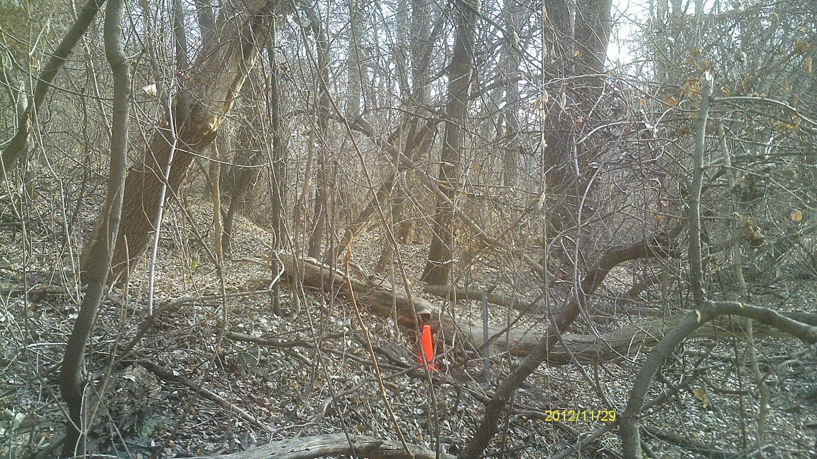
| 0276-__ip-3.jpg | November 29, 2012 | Close up of monument location showing proximity of guard post. |
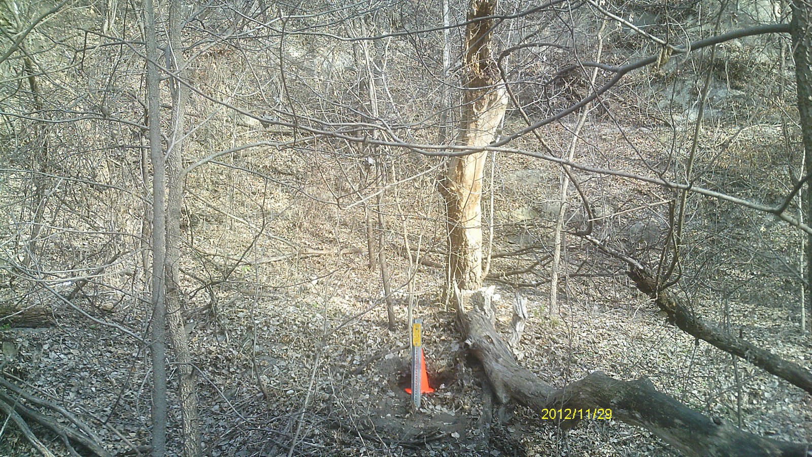
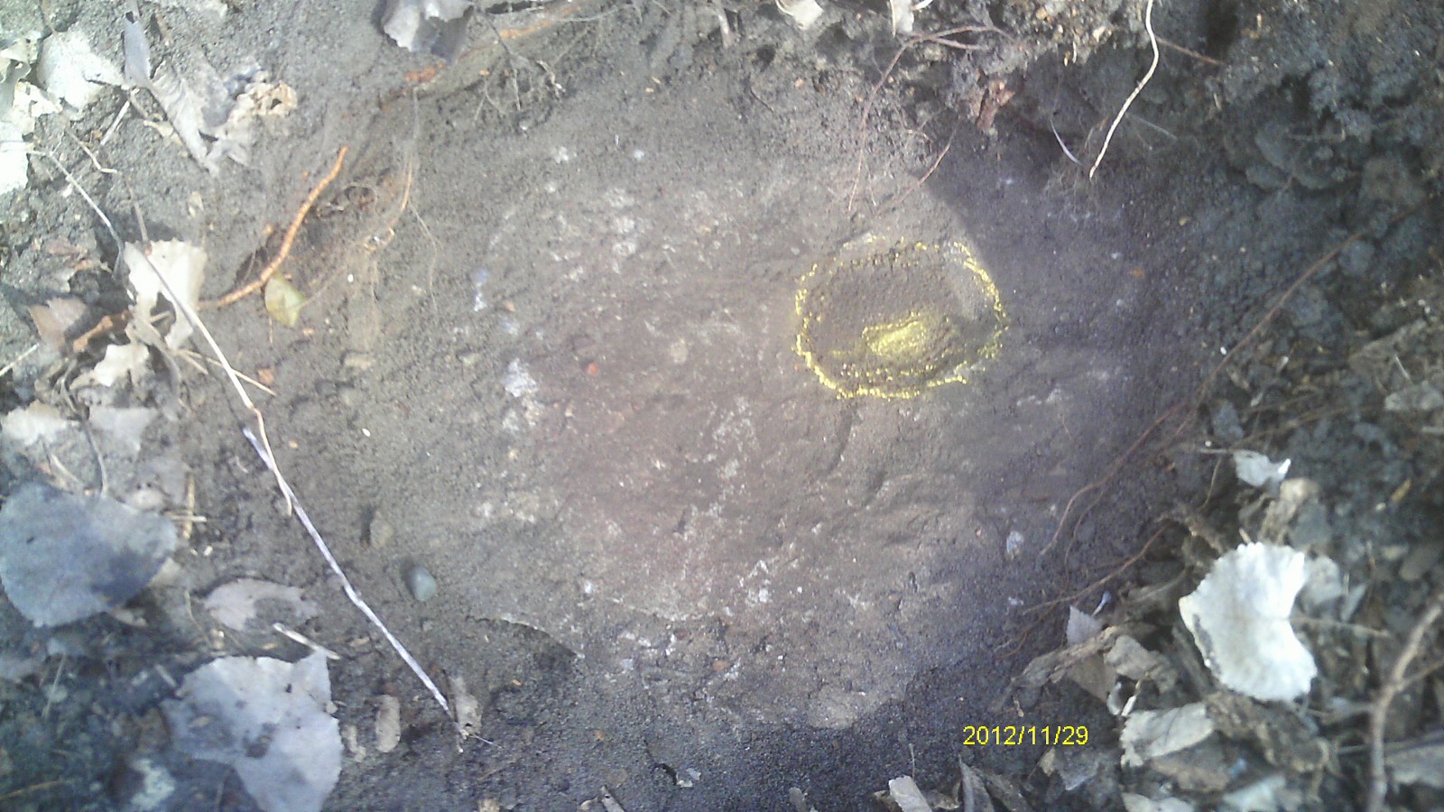
| 0276-__ip-2.jpg | November 29, 2012 | Close up of monument location. |
| 0276-__ip-1.jpg | November 29, 2012 | Close up of monument. |