| NAD83 COORDINATES (1986 adj.): |
|---|
| * X= 556052.685 Y= 139078.300 Z= 000.00 CMP 12/17/1991 |
| NAD83 COORDINATES (1996 adj.): |
|---|
| X= 556052.351 Y= 139078.959 Z= 753.4 12/24/2012 MnDot |
| 12/24/2012 | GM found by MnDOT. Coordinate established using total station w/ static GPS control (1996 adj). City elev = 59.14 ft |
| 3/1/2000 | (Unknown date Mar __, 2000 ) Fd GM 1.0 ft below grade (placed fabric target for 2000 aerial) |
| 9/25/1995 | Fd GM 1.0 ft below grade, placed ties, left GM as fd. See CofL 0278-1337-A |
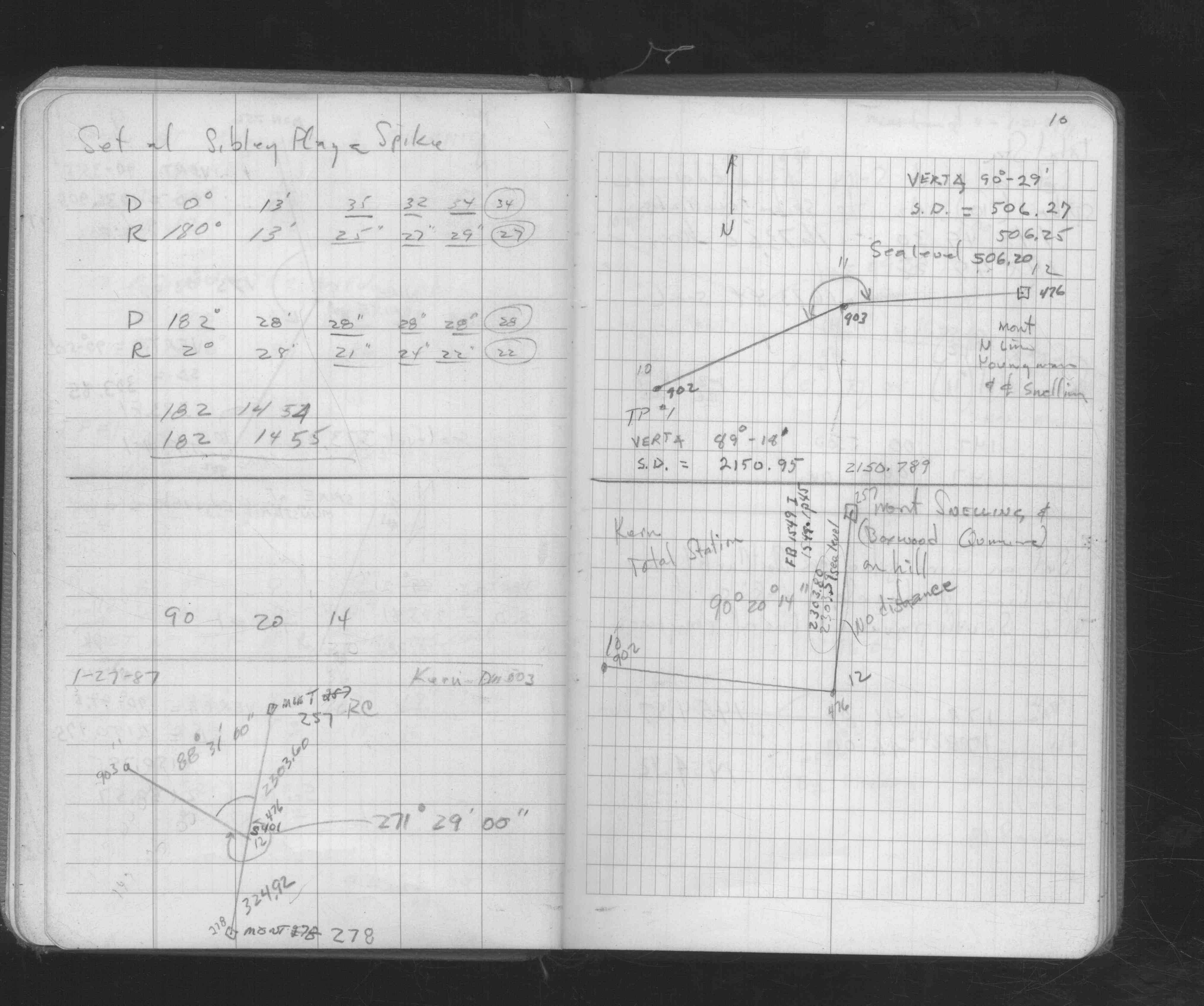
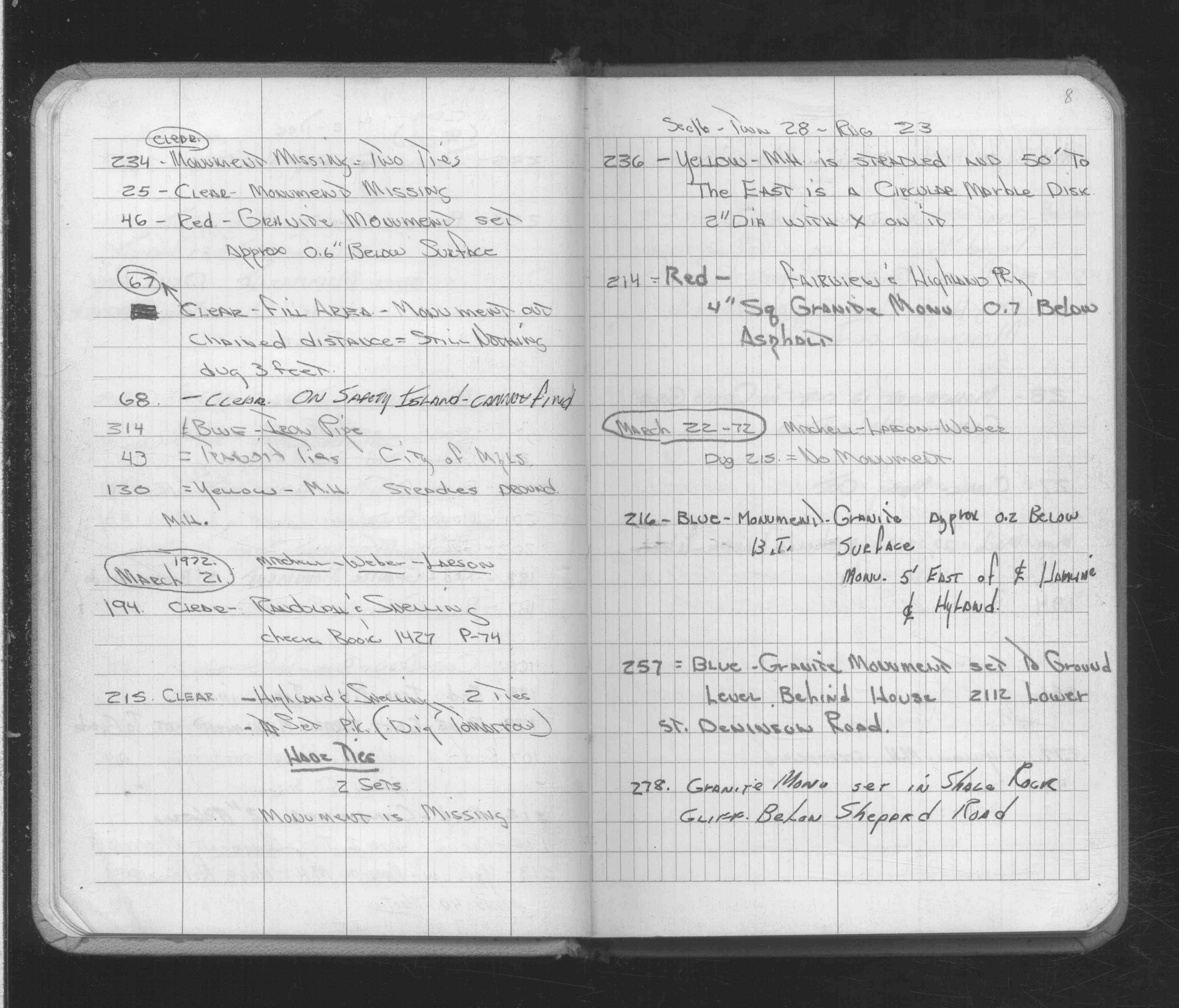
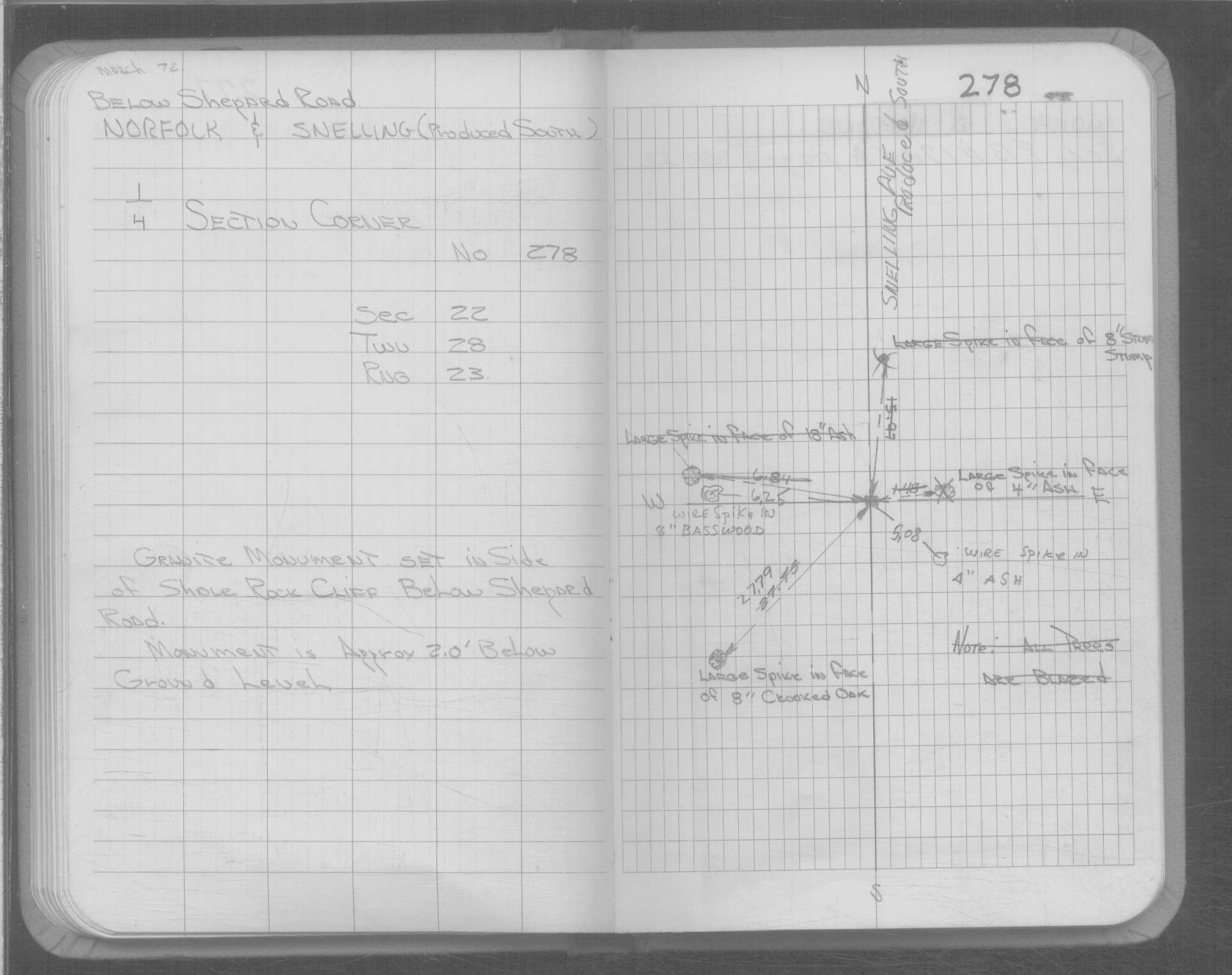
| 3/22/1972 | Fd GM in shale rock cliff below Shepard Rd. See FB 1689A p.8 |
| 6/1/1888 | (Unknown date Jun __, 1888 ) Monument set by J H Armstrong |
| 10/1/1847 | (Unknown date Oct __, 1847 ) Isaac N Higbee deputy surveyor set post. Tied to 2 BTs. See IH p.012-013 2823 |
| 1/1/1800 | (Unknown date ___ __, ____ ) GM set in side of Shole Rock Cliff below Shepard Rd. 2.0 ft below ground. |
Above is NOT an all inclusive history of this point. Please review all the links below.
| PLS NOTES | Field | Cross Section | Sewer | J.B. Irvine | Monument | River Survey |
|---|---|---|---|---|---|---|
| IH p.012-013 | FB 0253p. 27 ,46 ,72 | 1885 p.150-151 | ||||
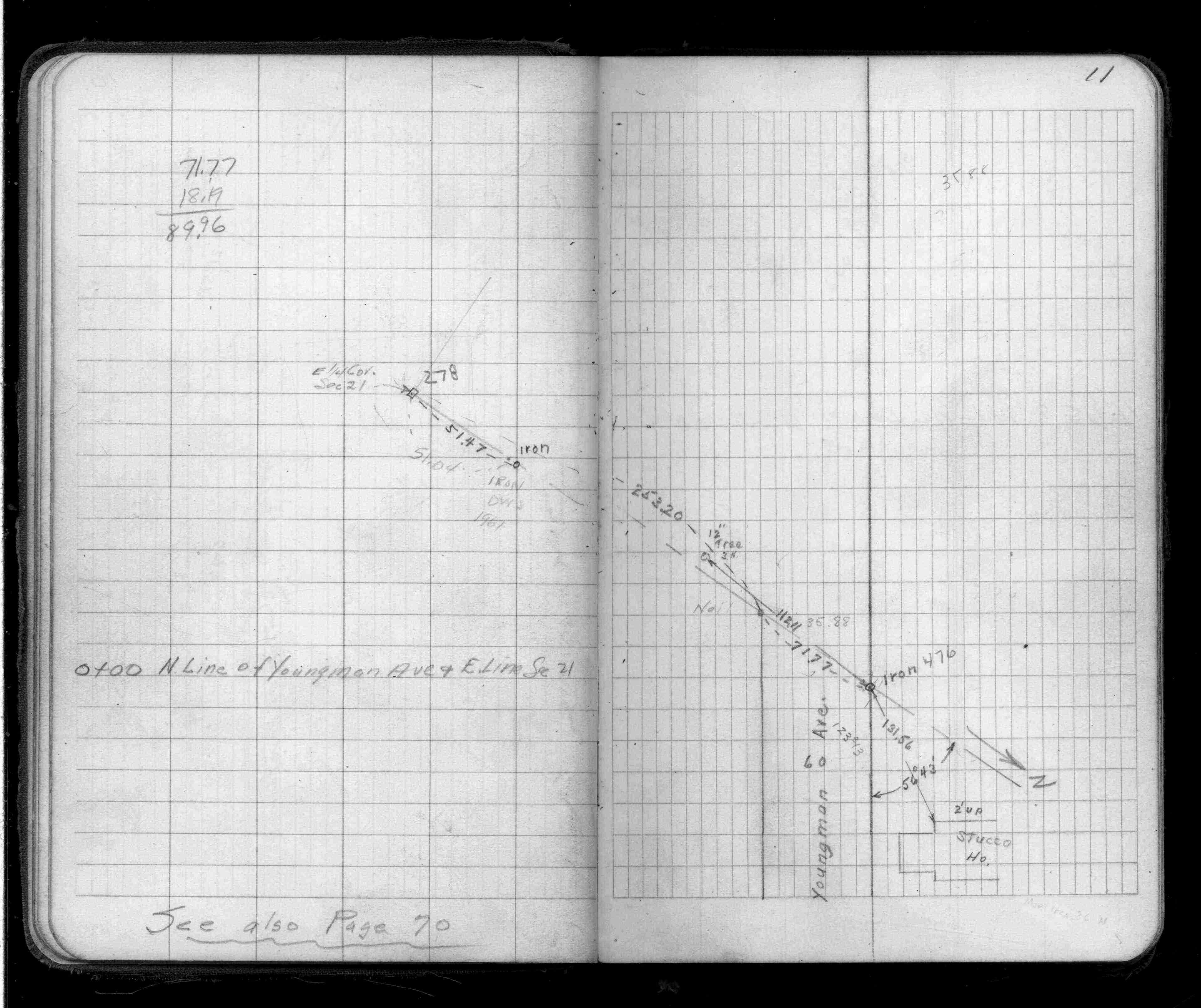
| FB 1416p.11 | ||||||
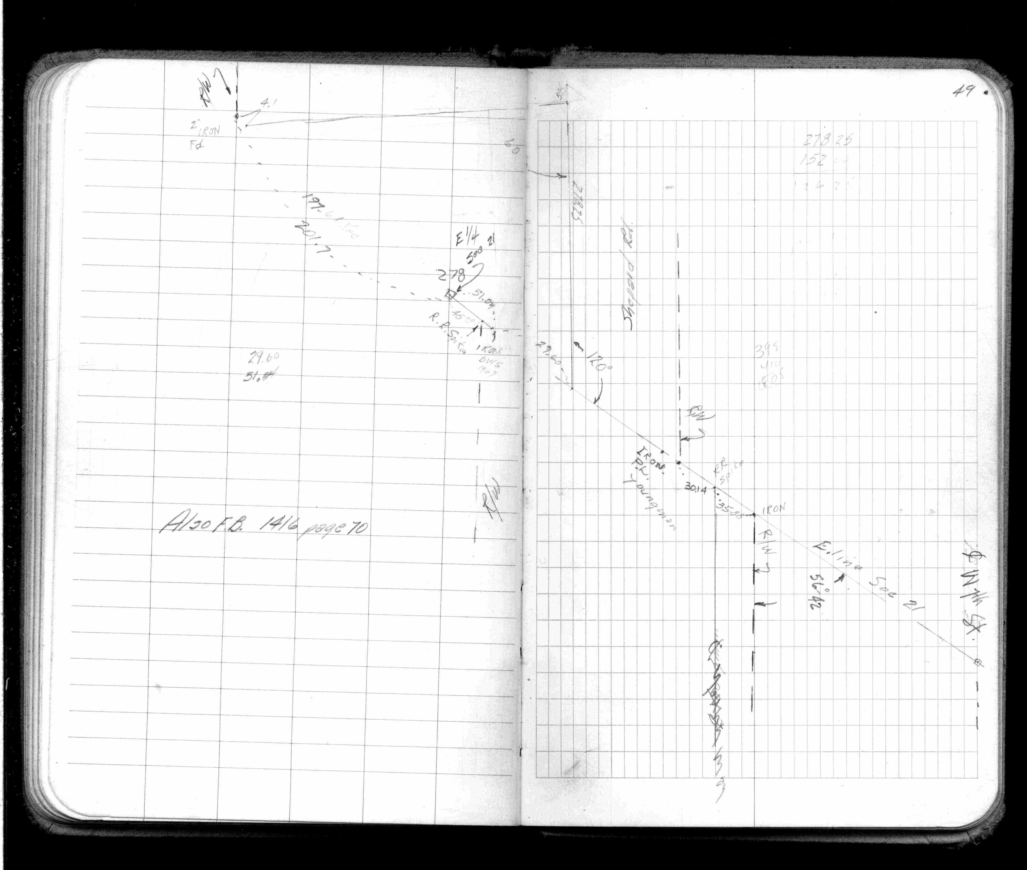
| FB 1514Fp.49 | ||||||
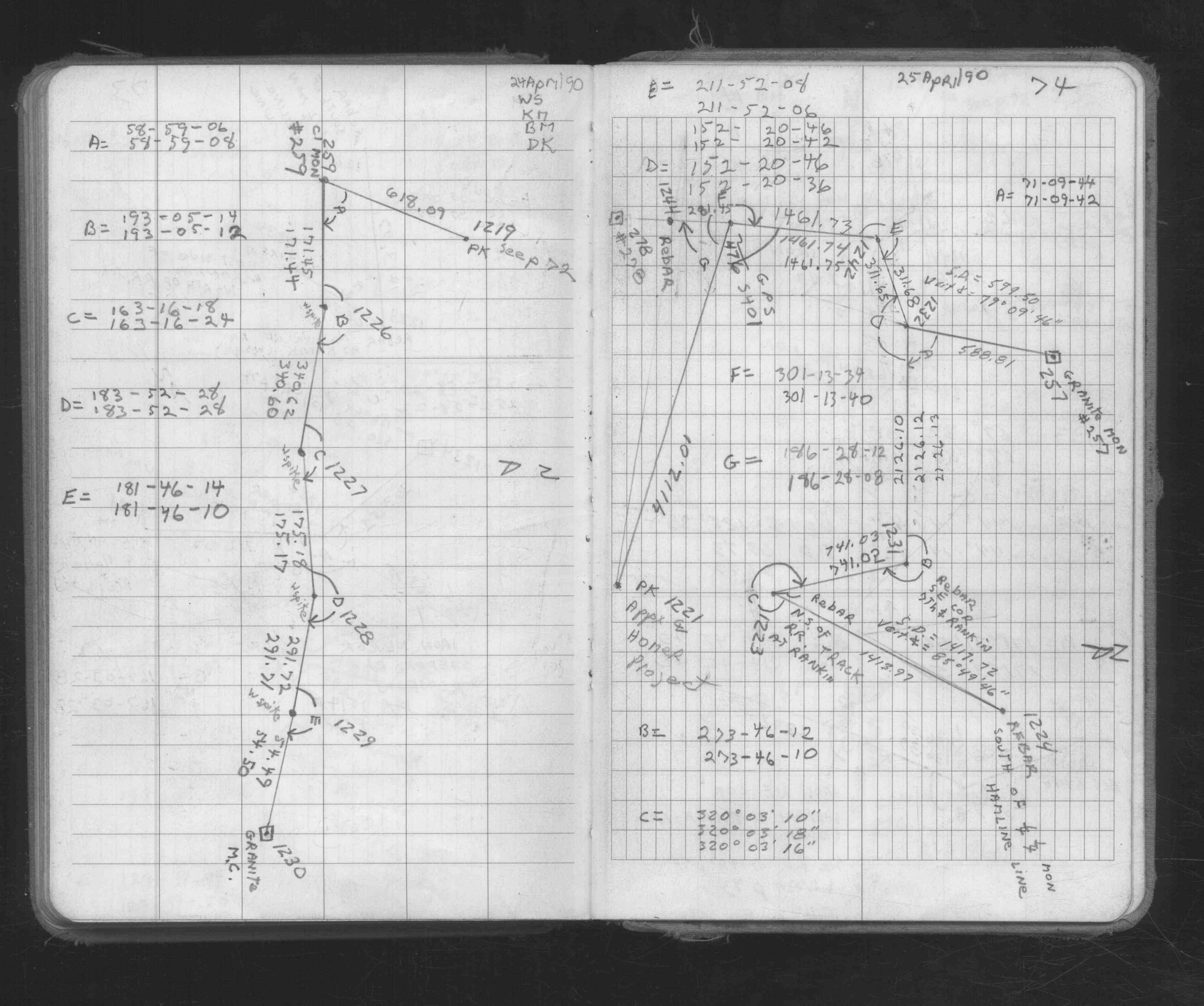
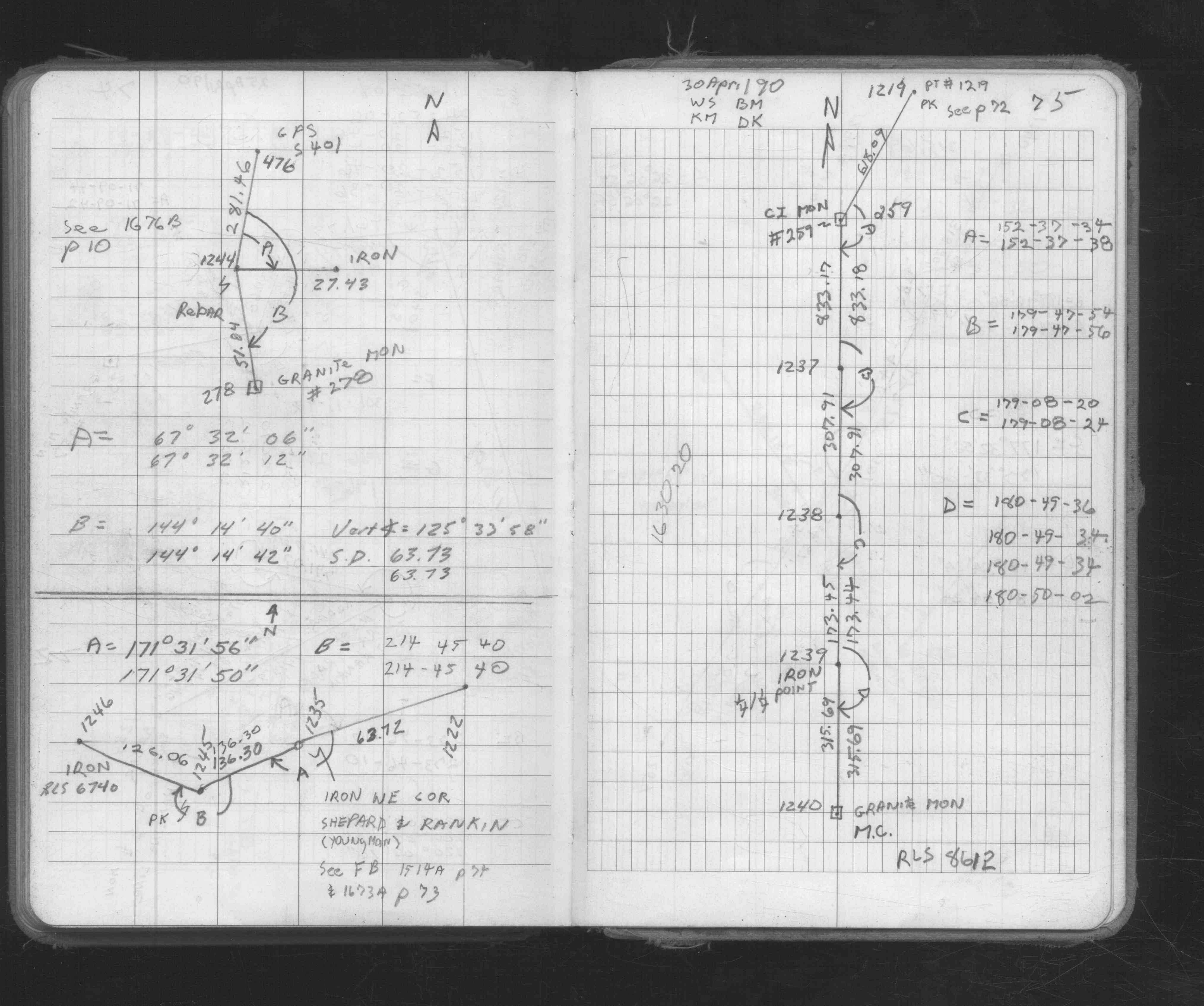
| FB 1673Ap. 74 ,75 | ||||||
| FB 1676Bp.10 | ||||||
| FB 1689Ap.08 |
| FILE | SURVEYOR | LIC. NO. | DATE SIGNED | DATE TIED |
|---|---|---|---|---|
| 0278-1337-A.tif | William J. Cutting | 20576 | October 20, 1995 | September 25, 1995 |
| ST_235-312p278.jpg | none | none | none | none |
| 0278-1337-A.dwf | none | none | none | none |