| NAD83 COORDINATES (1986 adj.): |
|---|
| * X= 565506.911 Y= 146968.039 Z= 000.00 LSQ 12/06/1991 S FIX |
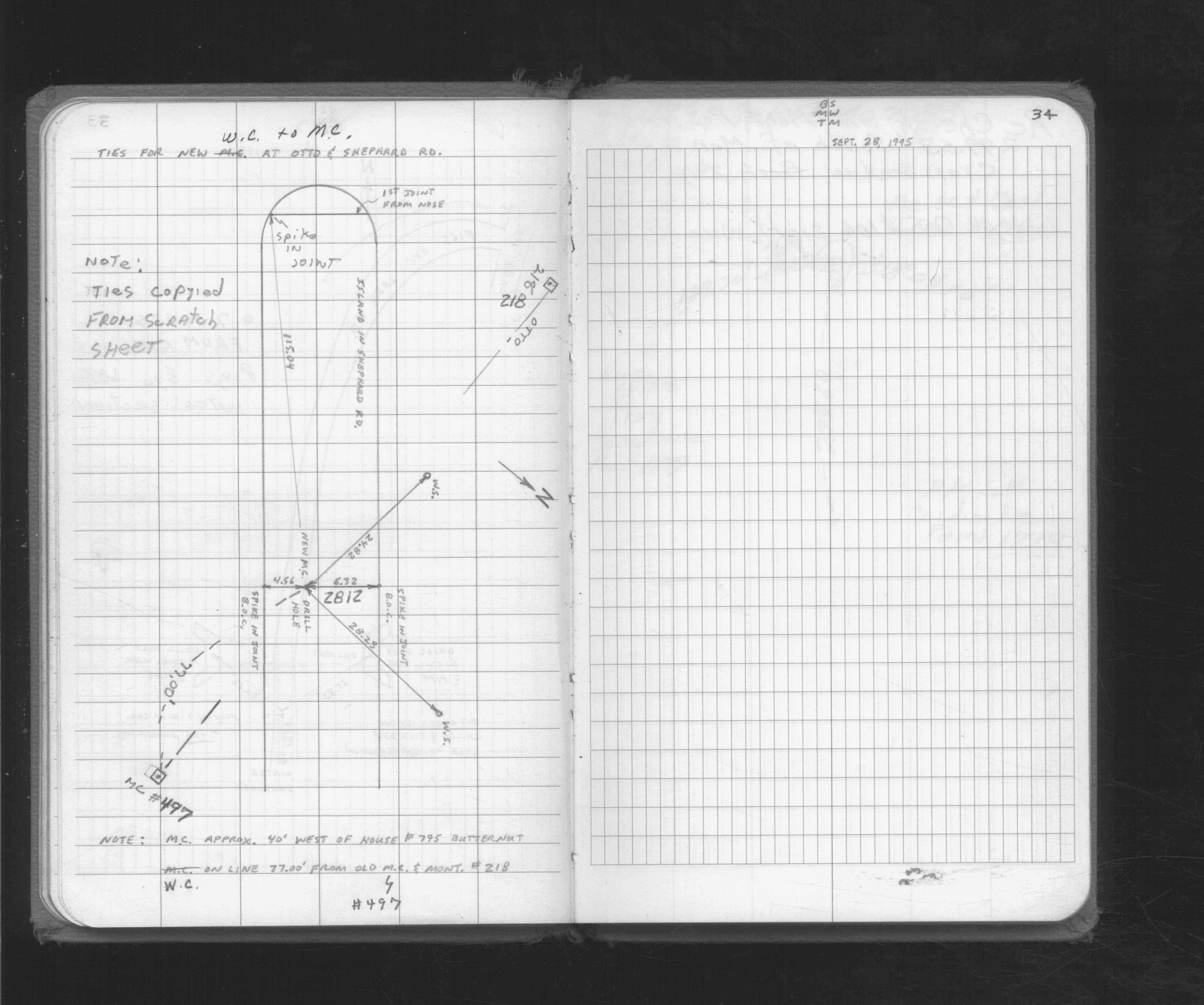
| 9/28/1995 | Witness to MONUMENT 497 being 77' west (pt 2812). See FB 1716 p.34 |
| 9/1/1995 | (Unknown date Sep __, 1995 ) See CofL 2812-__hl-B |
| 4/19/1991 | Traversed through GM. See FB 1708A p.43 |
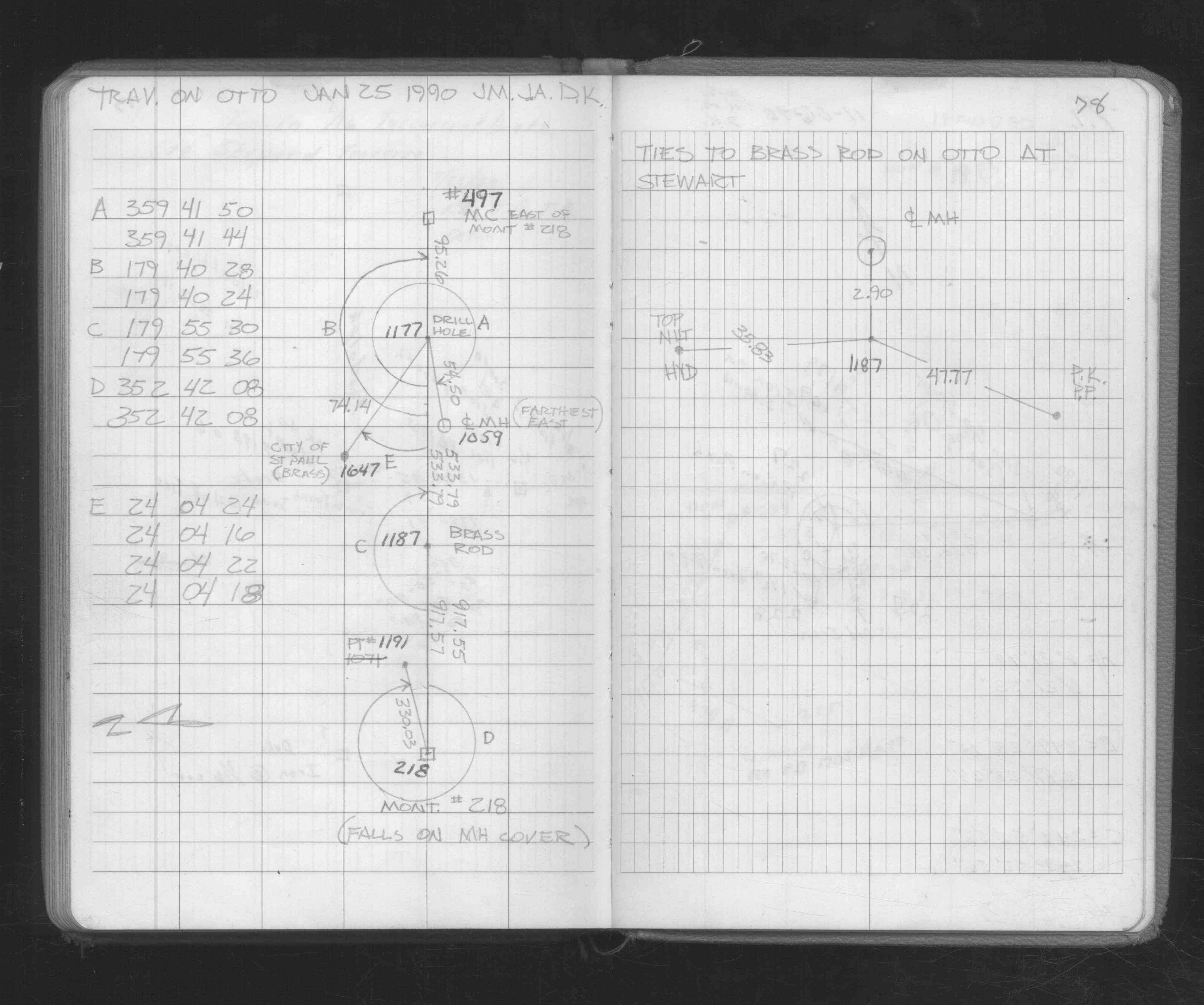
| 1/1/1991 | (Unknown date ___ __, 1991 ) GM destoryed during Shepard Rd Cnst. See pt 2812. |
| 1/1/1985 | (Unknown date ___ __,1985 ) Historic, one time only GPS survey = S505 |
| 2/1/1888 | (Unknown date Feb __, 1888 ) Survey of Section 14-28-23. See JBI 01 p.01-02,17-18 |
| 10/1/1847 | (Unknown date Oct __, 1847 ) Isaac N Higbee deputy surveyor set post. Tied to 2 BTs. See IH p.006-007 2823 |
Above is NOT an all inclusive history of this point. Please review all the links below.
| PLS NOTES | Field | Cross Section | Sewer | J.B. Irvine | Monument | River Survey |
|---|---|---|---|---|---|---|
| IH p.006-007 | FB 0236p. 05 ,35 ,37 | SB 0641p.57 | JBI 01 p.01-02 JBI 01 p.17-18 | 1885 p.120-121 p.138-139 p.140-141 | ||
| FB 0258p.04 | JBI 01 p.01-02 | |||||
| FB 1329p.77 | ||||||
| FB 1401Ep.24 | ||||||
| FB 1408Bp. 45 ,48 | ||||||
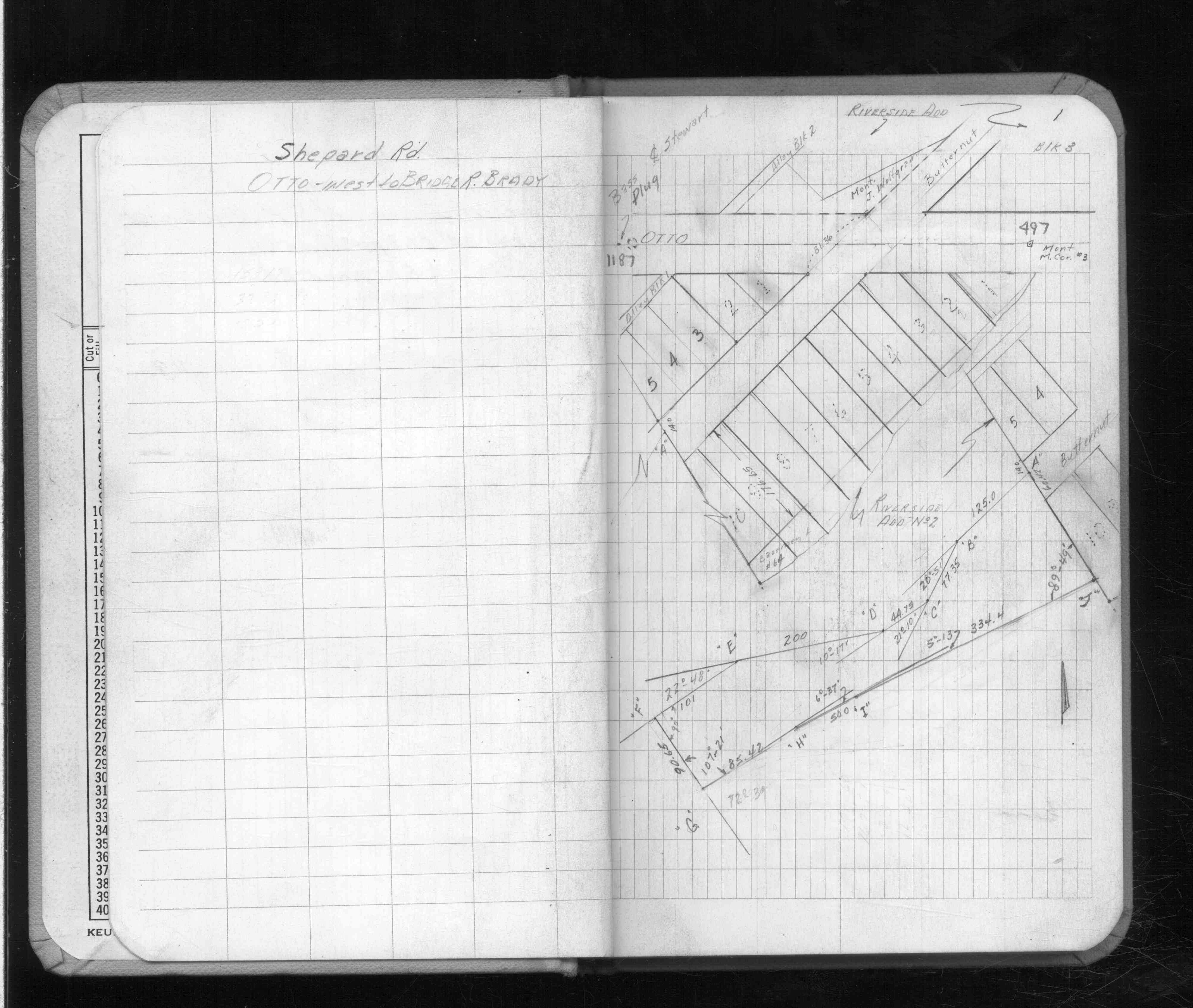
| FB 1514p. 02 ,06 | ||||||
| FB 1514Ep.42 | ||||||
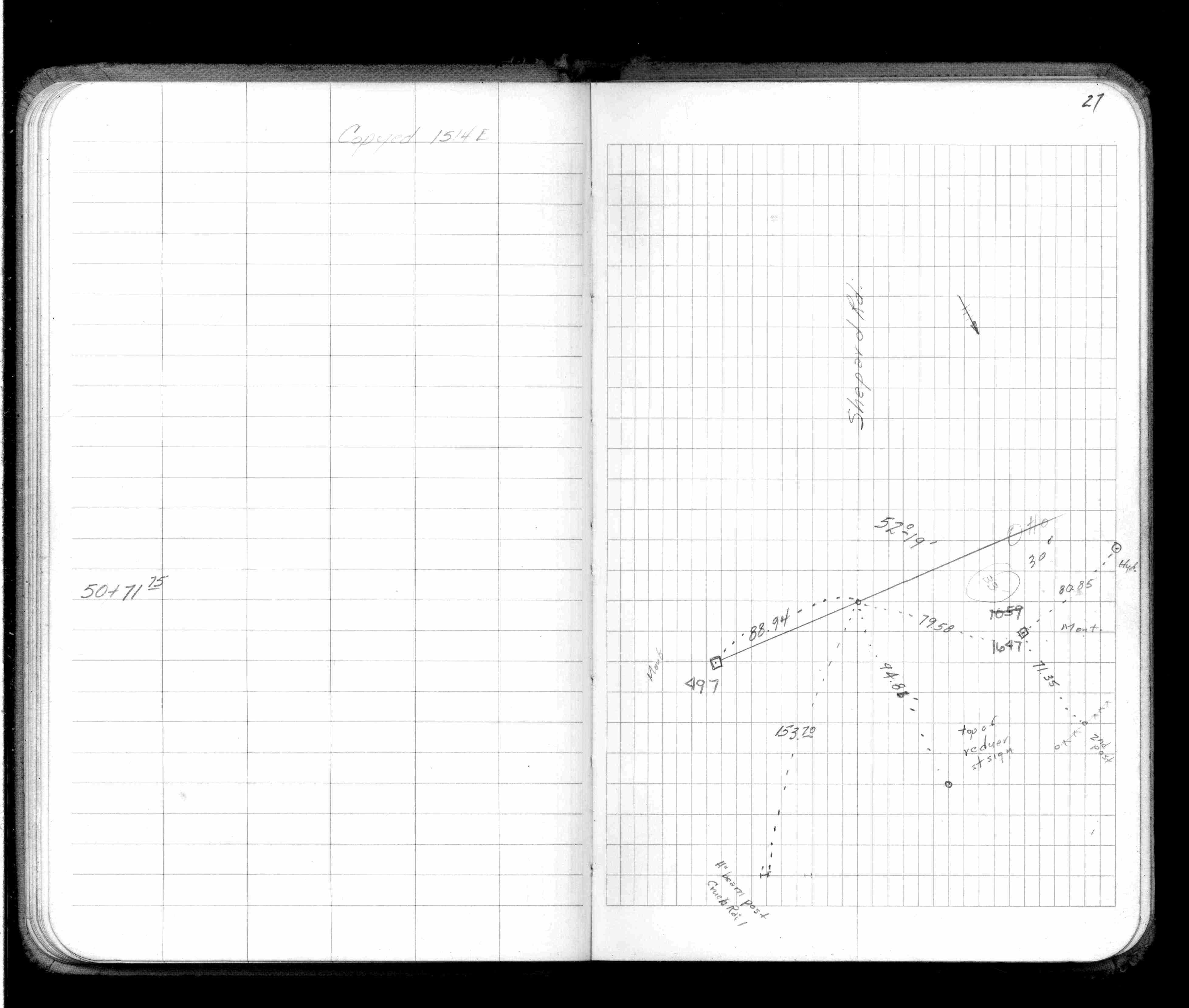
| FB 1514Fp.27 | ||||||
| FB 1579p.01 | ||||||
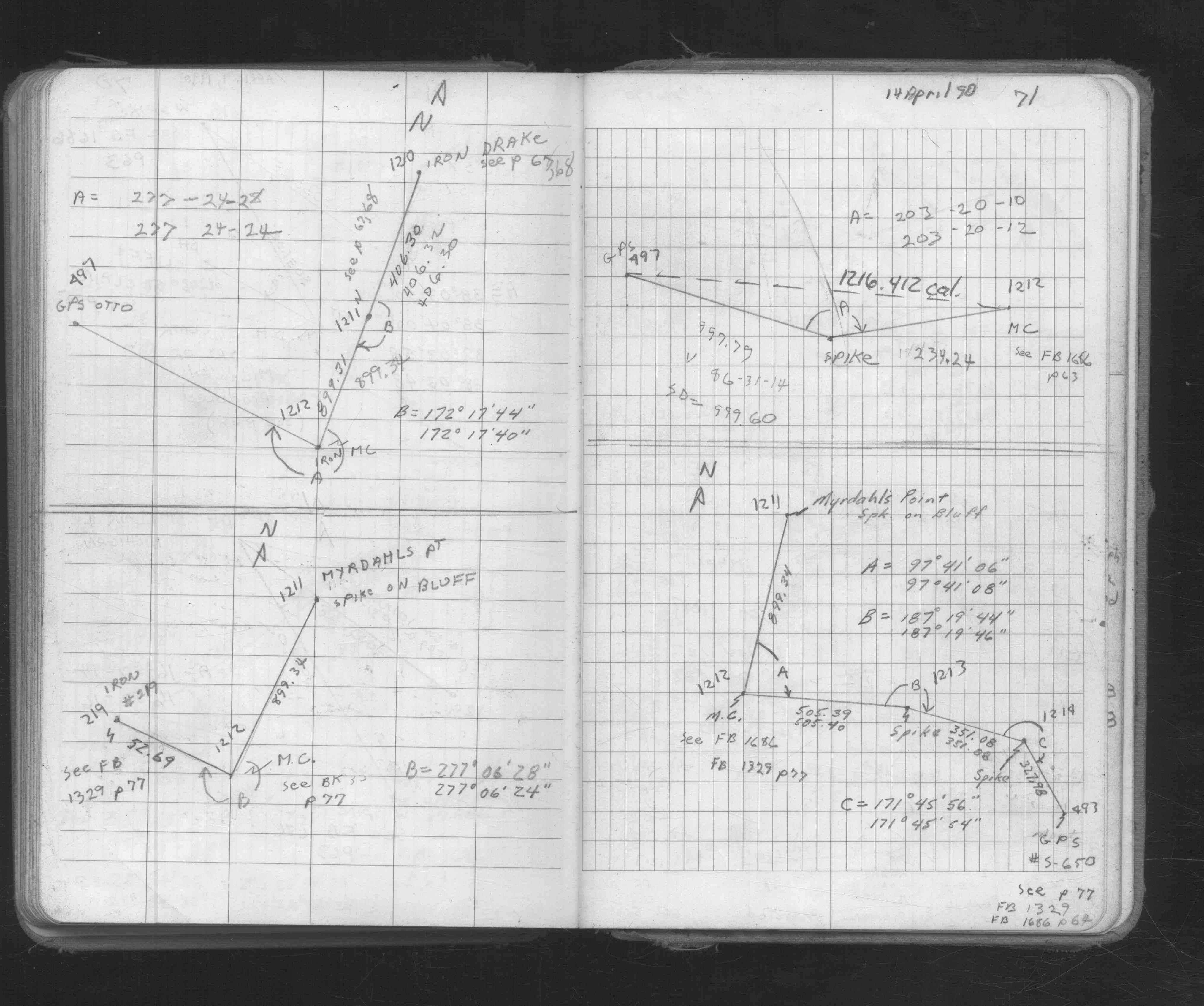
| FB 1673Ap.71 | ||||||
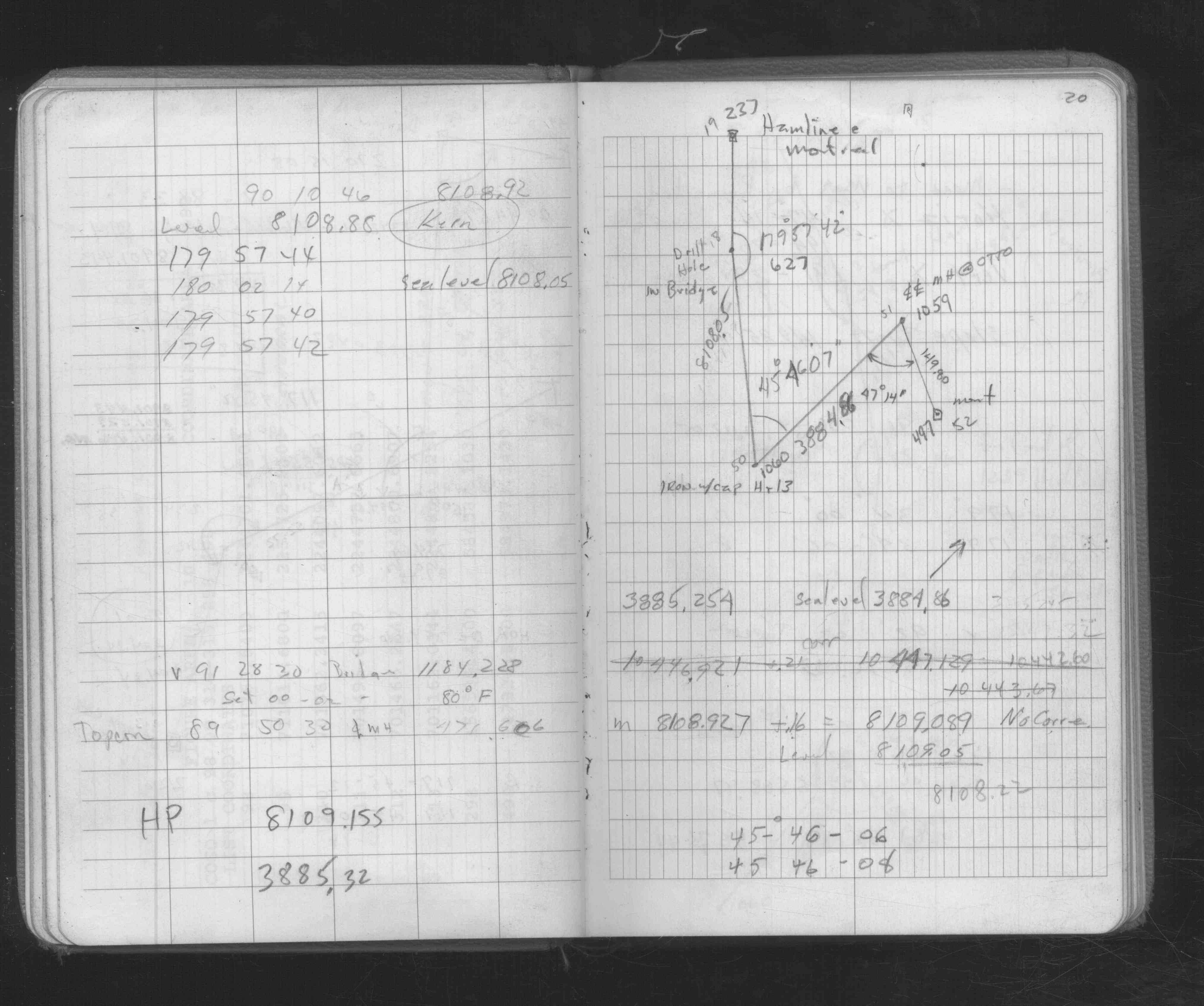
| FB 1676Bp. 20 ,21 ,26 ,27 ,78 | ||||||
| FB 1686p.65 | ||||||
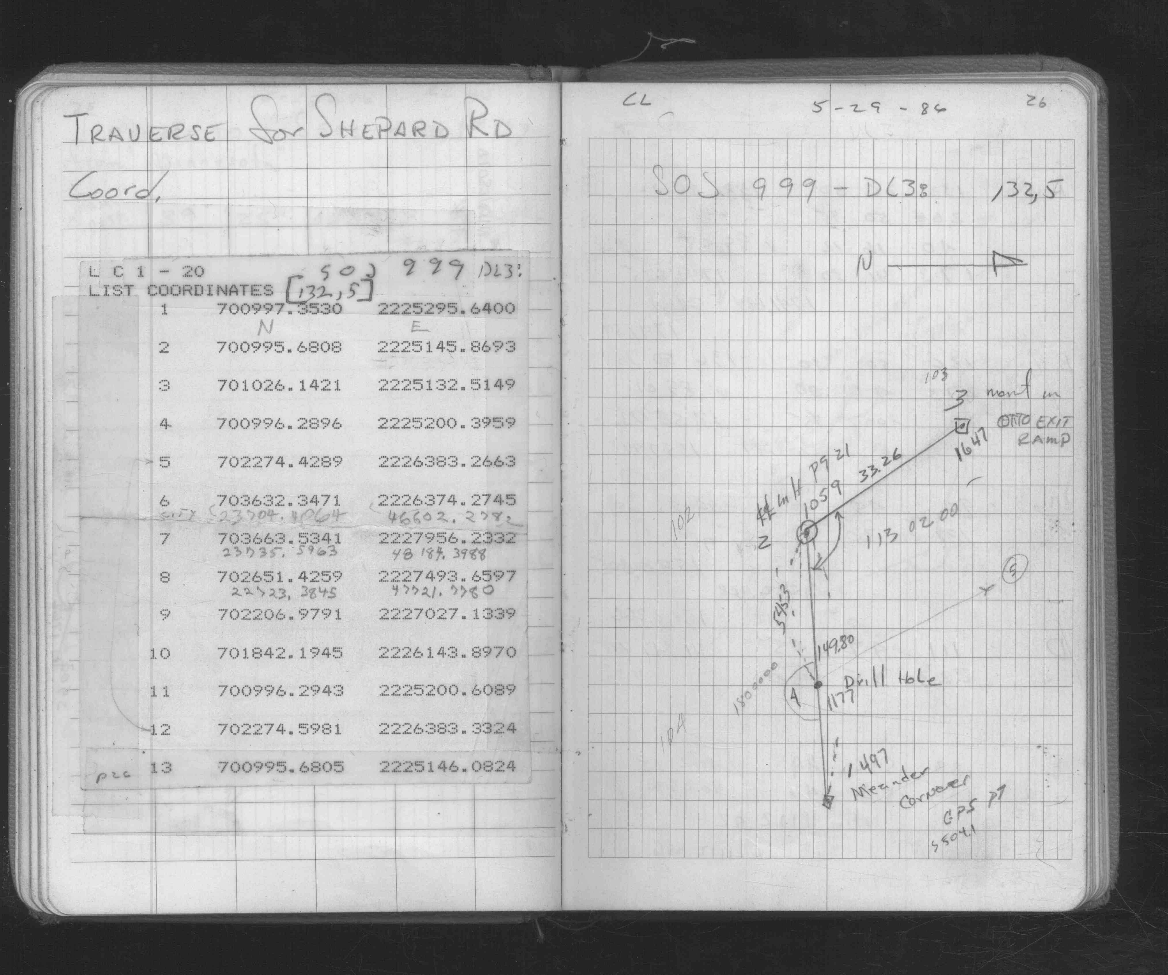
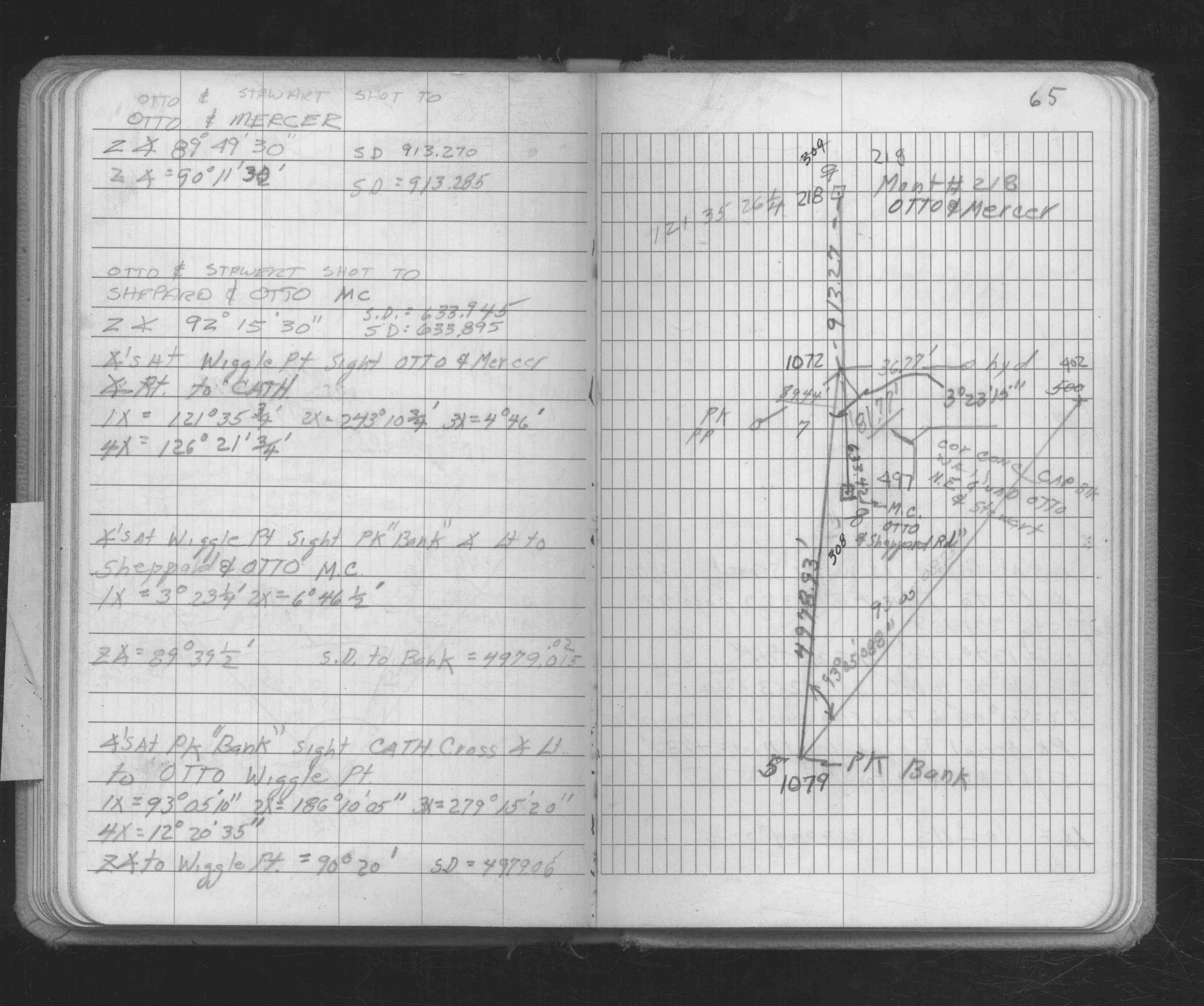
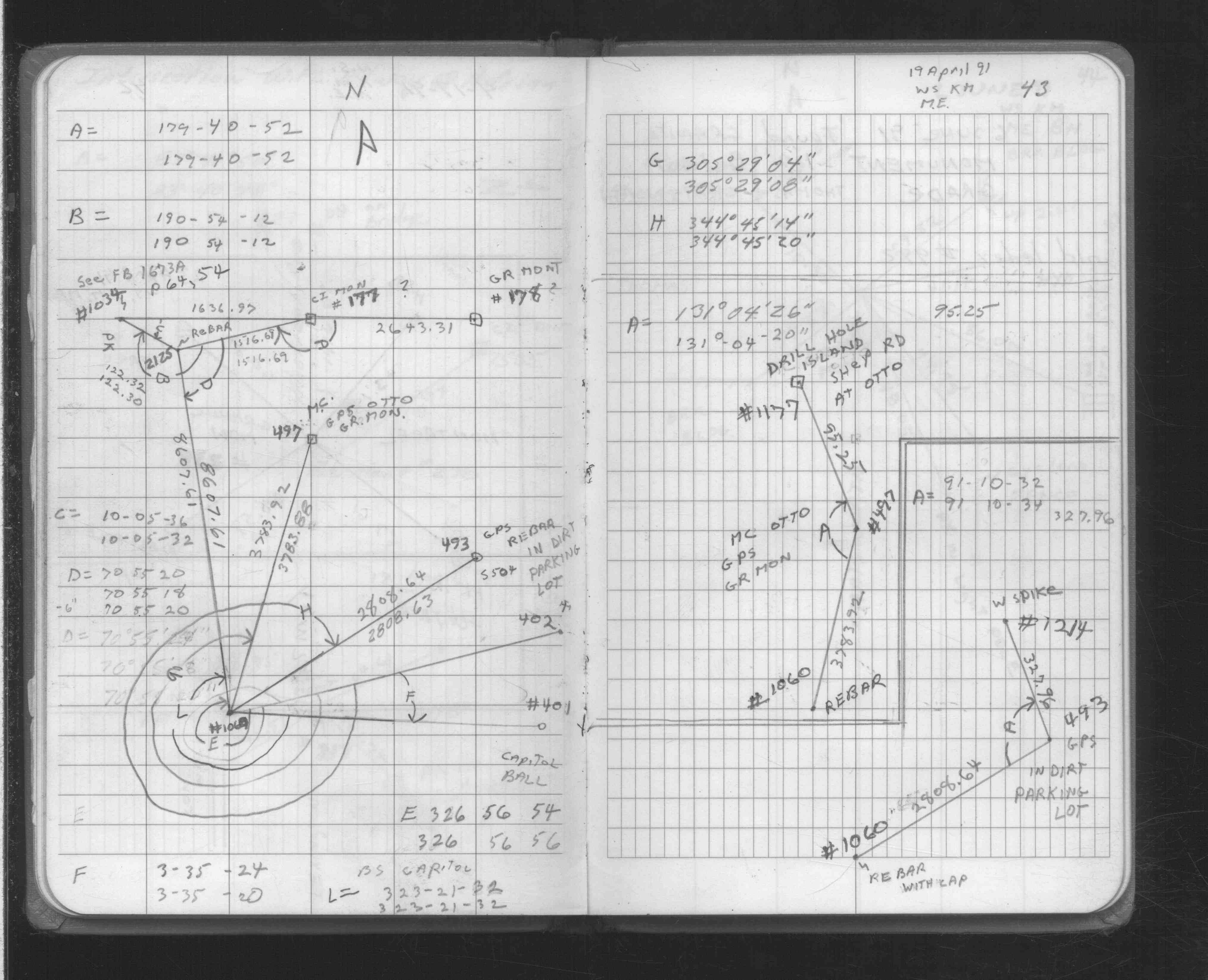
| FB 1708Ap.43 | ||||||
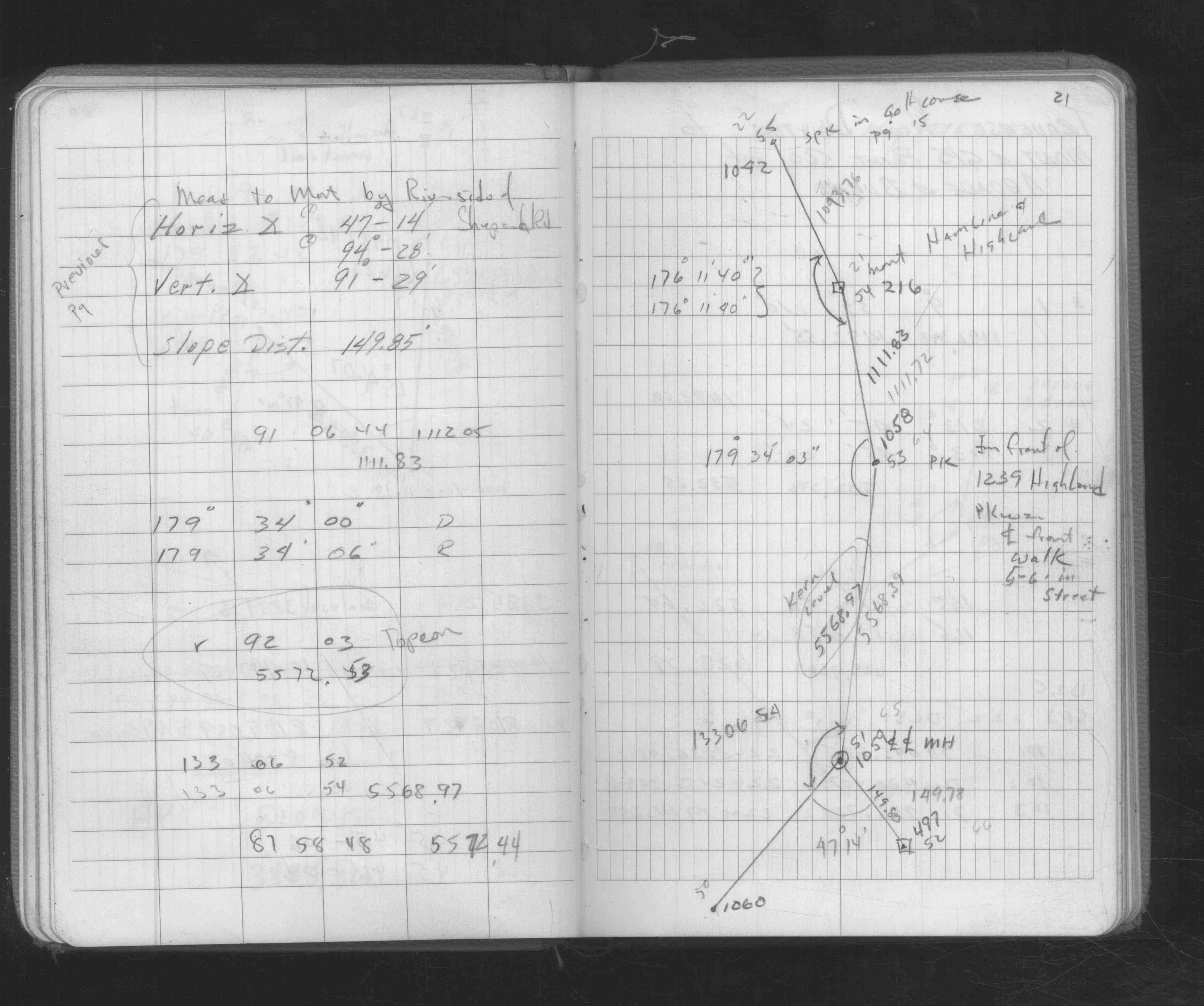
| FB 1716p.34 | ||||||
| FB 1716p.34 |