| NAD83 COORDINATES (1986 adj.): |
|---|
| X= 577581.11 Y= 162821.85 Z= 000.00 02/04/2003 RTK-VRS |
| X= 577581.065 Y= 162821.966 Z= 000.00 LSQ 12/06/1991 S FIX |
| 3/27/2002 | Photos taken of concrete monument. Note concrete monument mistaken as GM. |
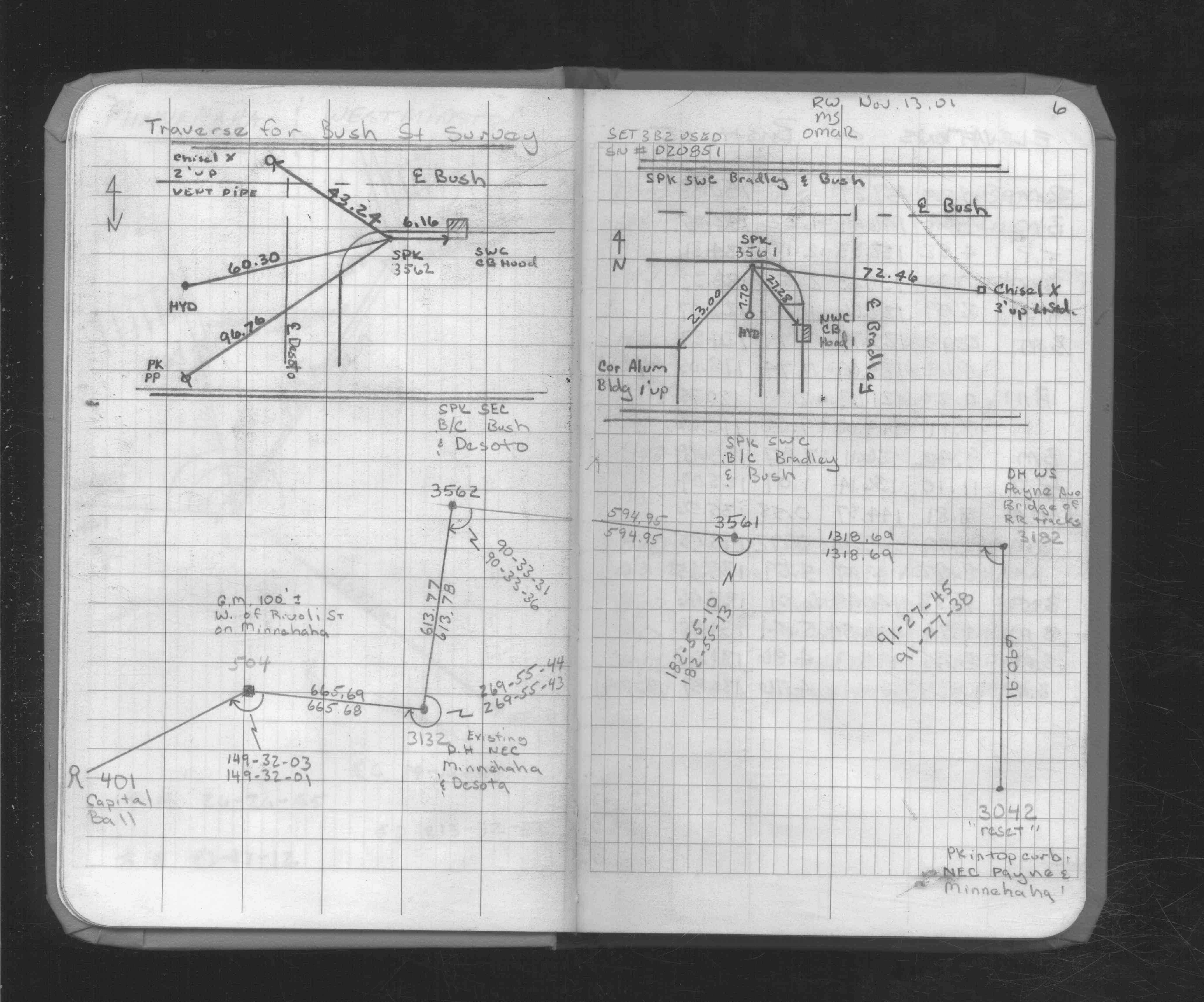
| 11/13/2001 | Used concrete monument for traverse. See FB 1735 p.6 |
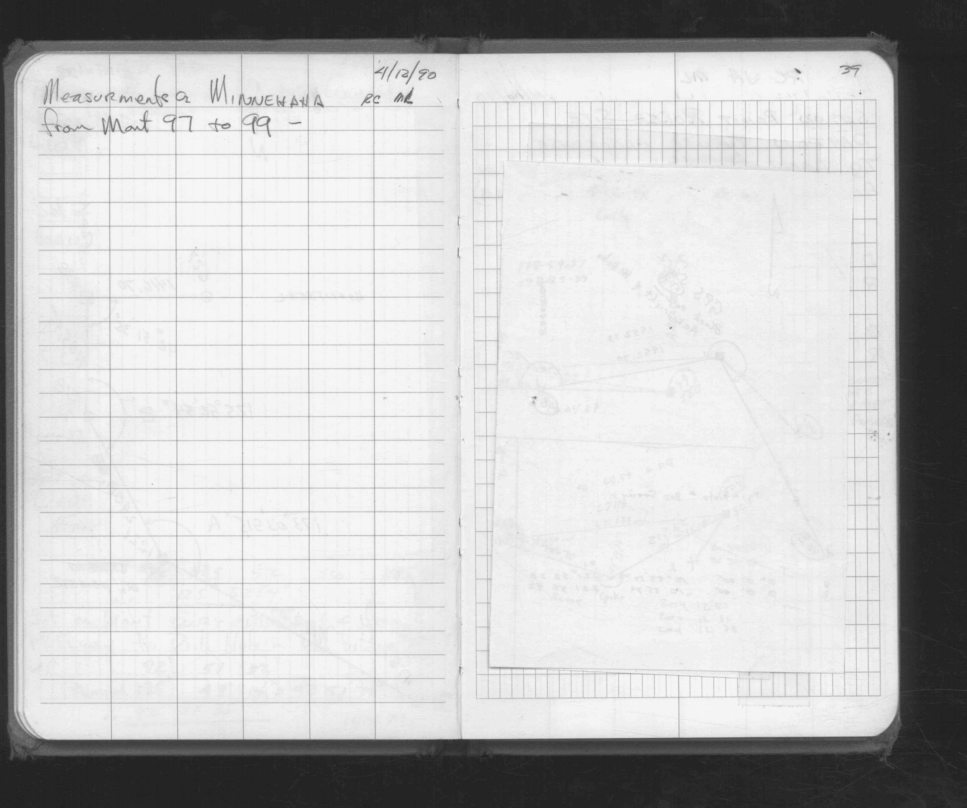
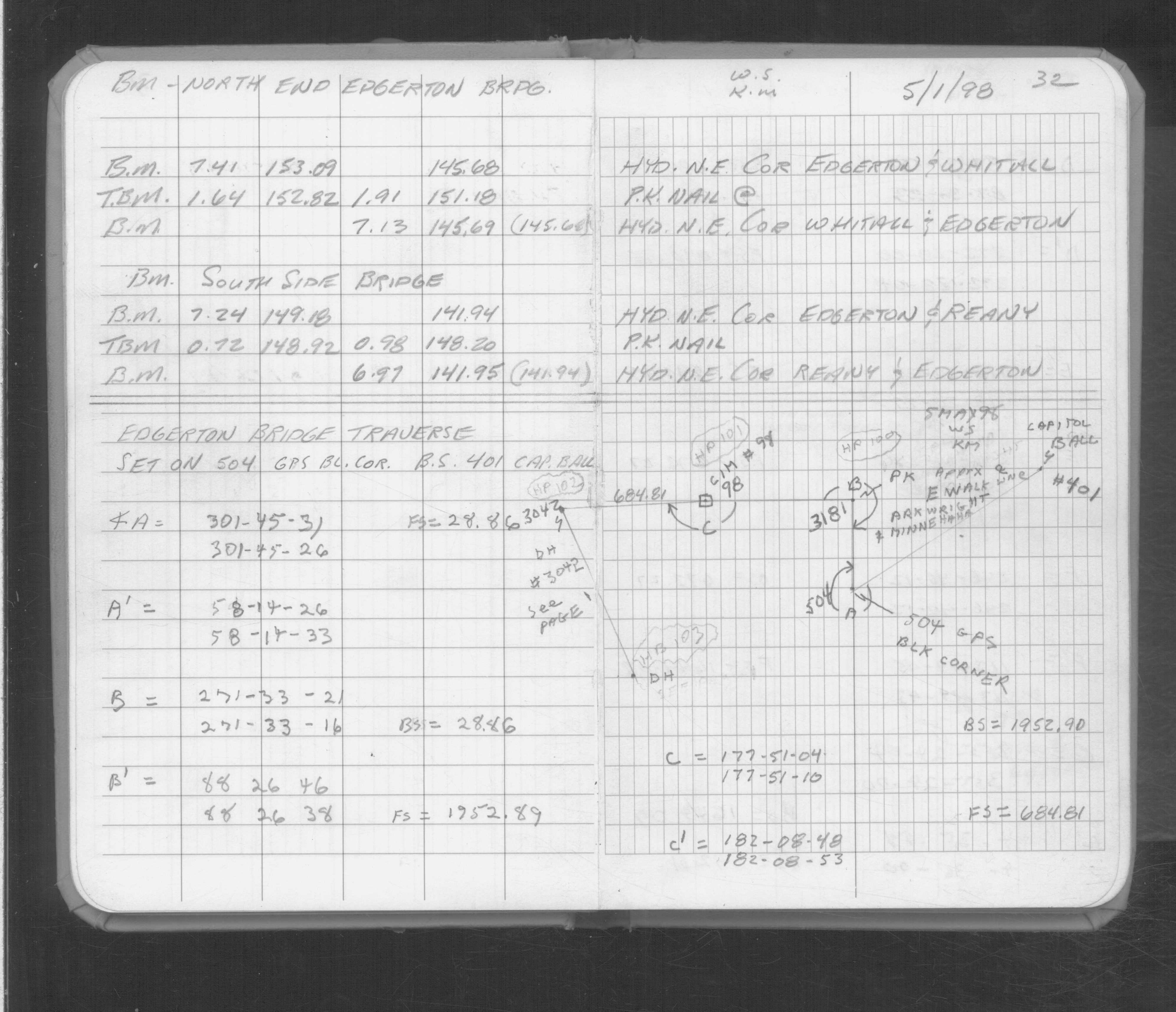
| 5/1/1998 | Used for traverse control. See FB 1733 p.32 |
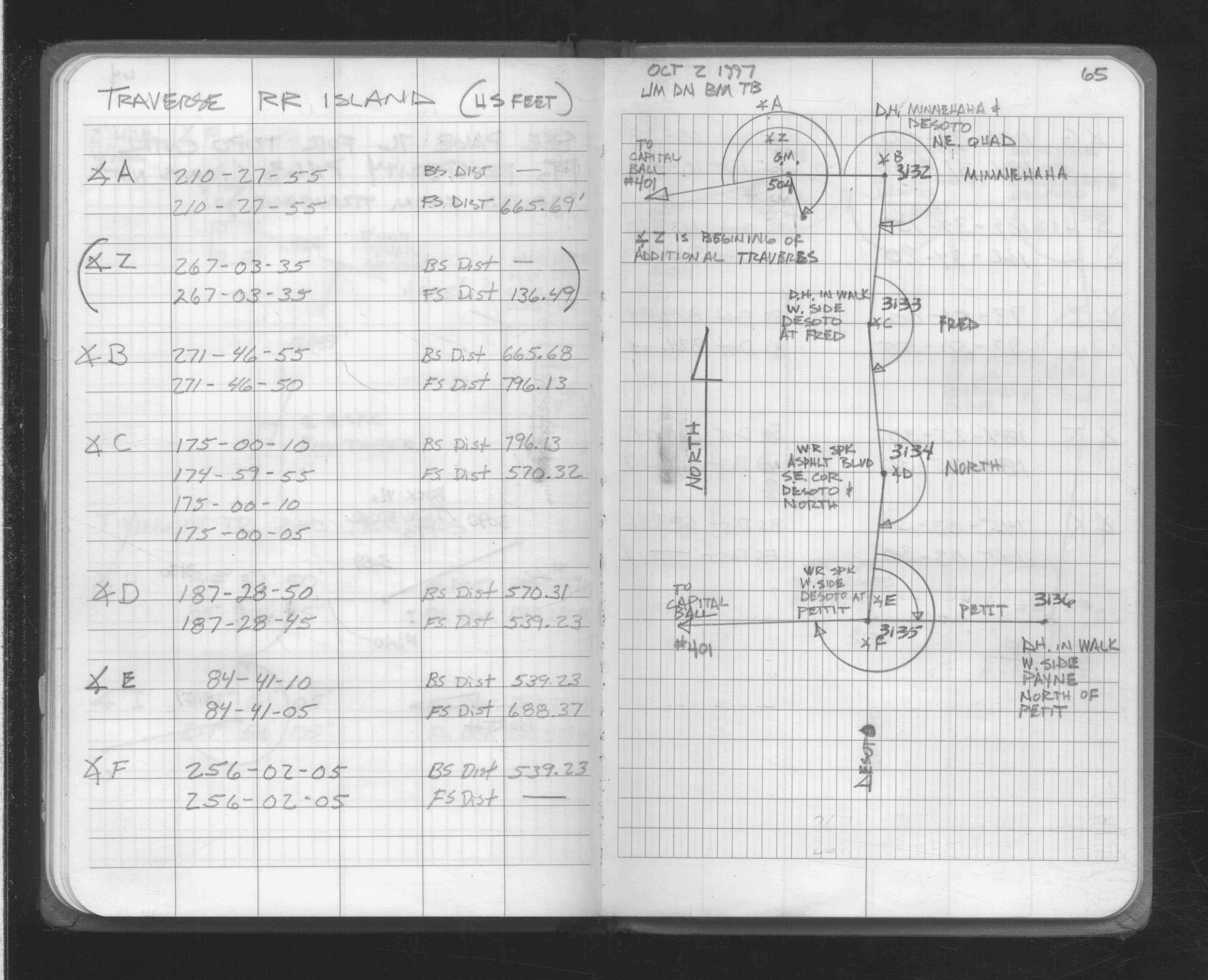
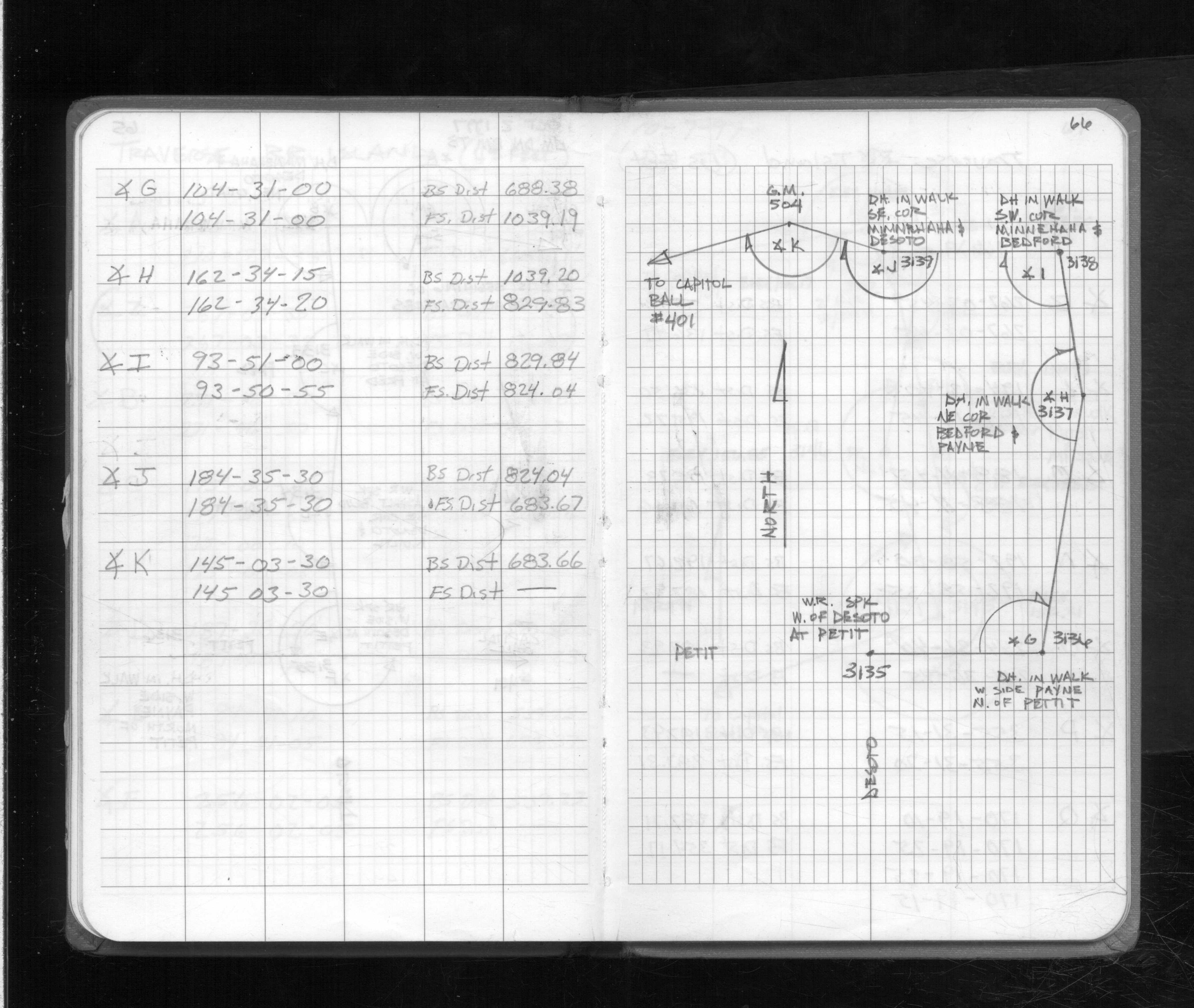
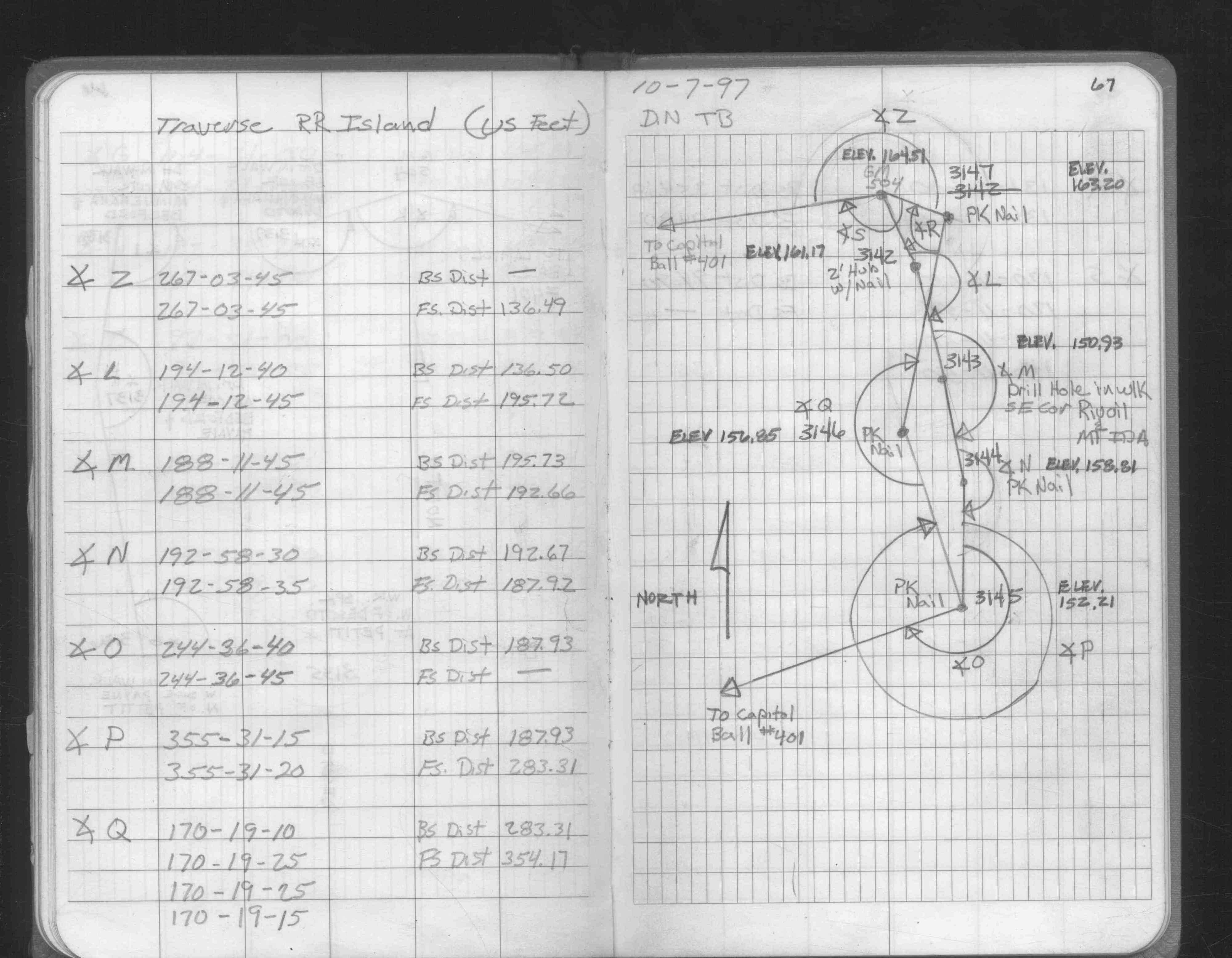
| 10/2/1997 | Used GM for traverse control. See FB 1708A p.65,66 |
| 11/1/1989 | (Unknown date Nov __, 1989 ) Placed ties. See 1501A p.42 |
| 1/1/1989 | (Unknown date ___ __,1989 ) Historic, one time only GPS survey = S652 |
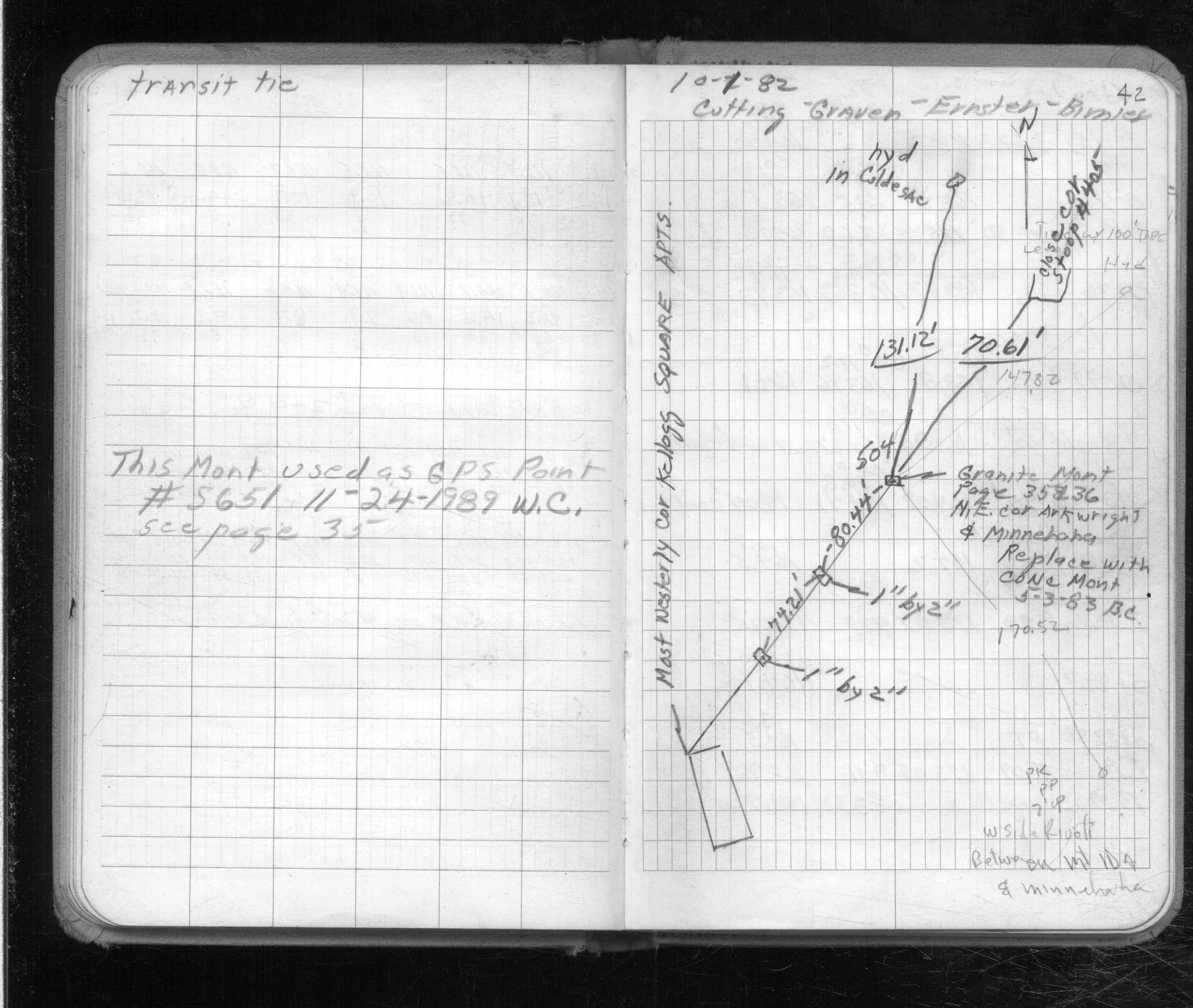
| 5/3/1983 | Replaced GM with concrete monument. See FB 1501A p.42 |
| 10/1/1982 | Fd GM & placed ties. See FB 1501A p.42 |
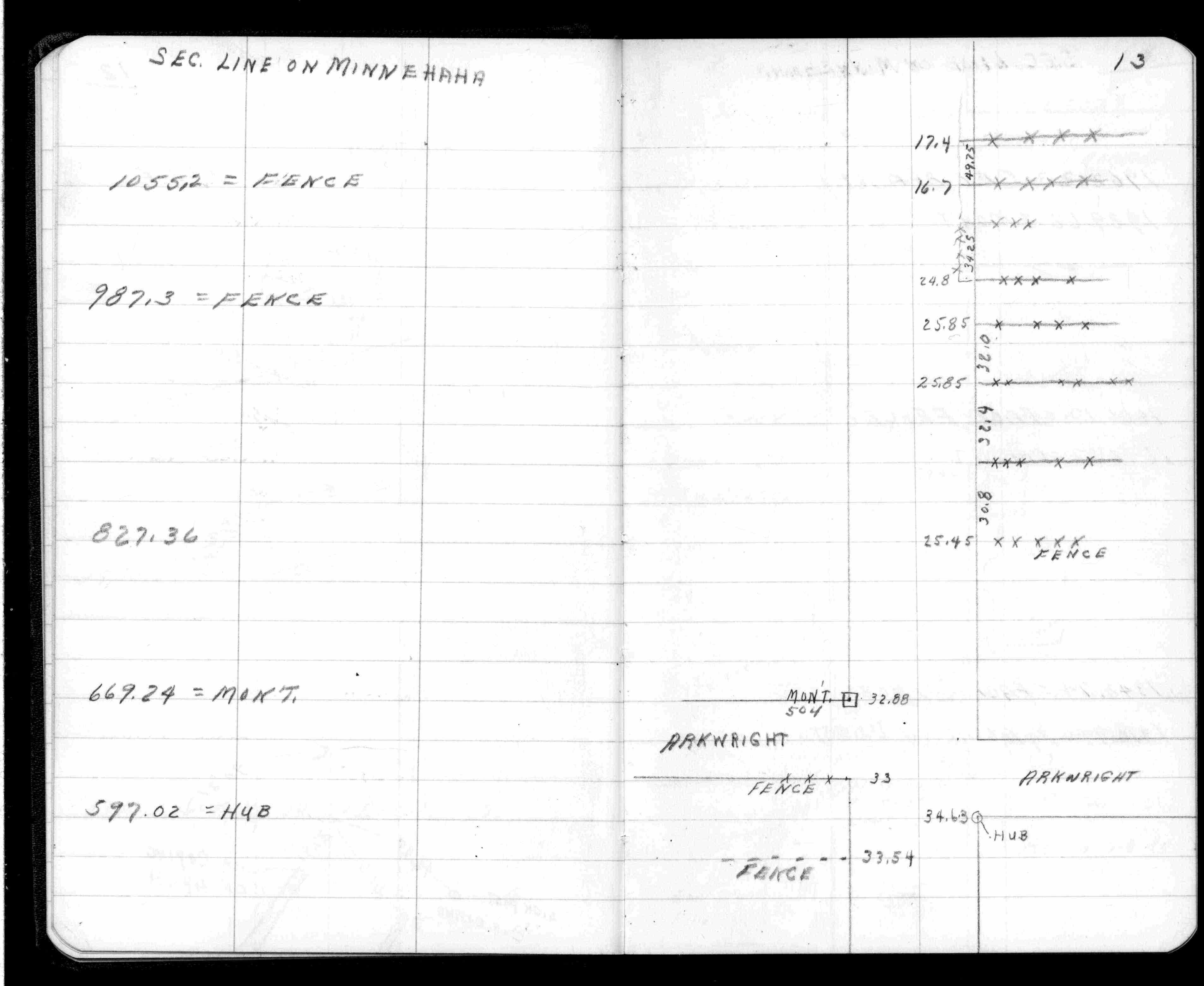
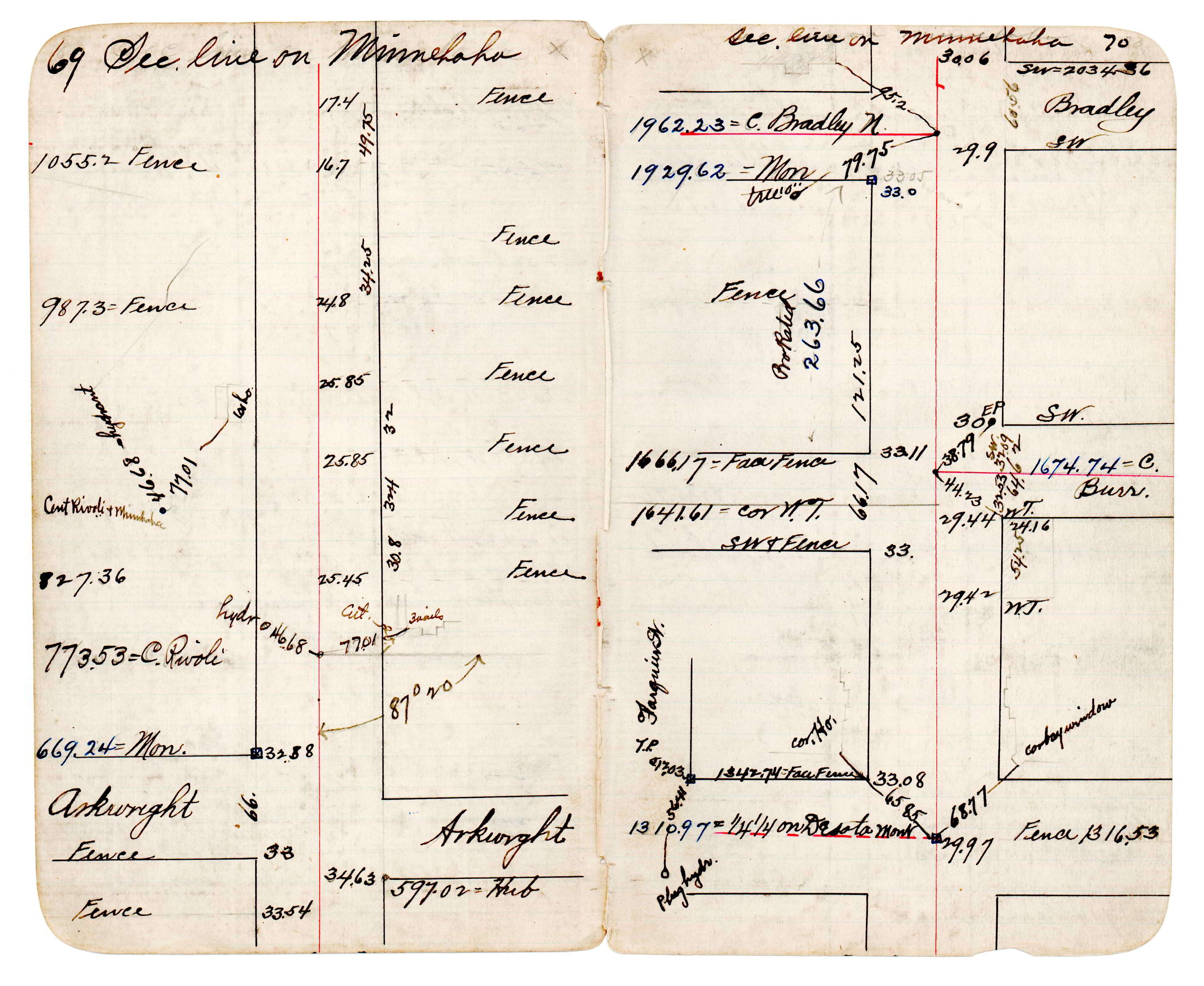
| 1/1/1880 | (Unknown date abt __, 188? ) J B Irvines survey on the section line on Minnehaha. See JBI 23 p.69-70 |
| 1/1/1800 | (Unknown date ___ __, ____ ) Monument set. |
Above is NOT an all inclusive history of this point. Please review all the links below.
| PLS NOTES | Field | Cross Section | Sewer | J.B. Irvine | Monument | River Survey |
|---|---|---|---|---|---|---|
| FB 0290CPYp.13 | JBI 23 p.69-70 | |||||
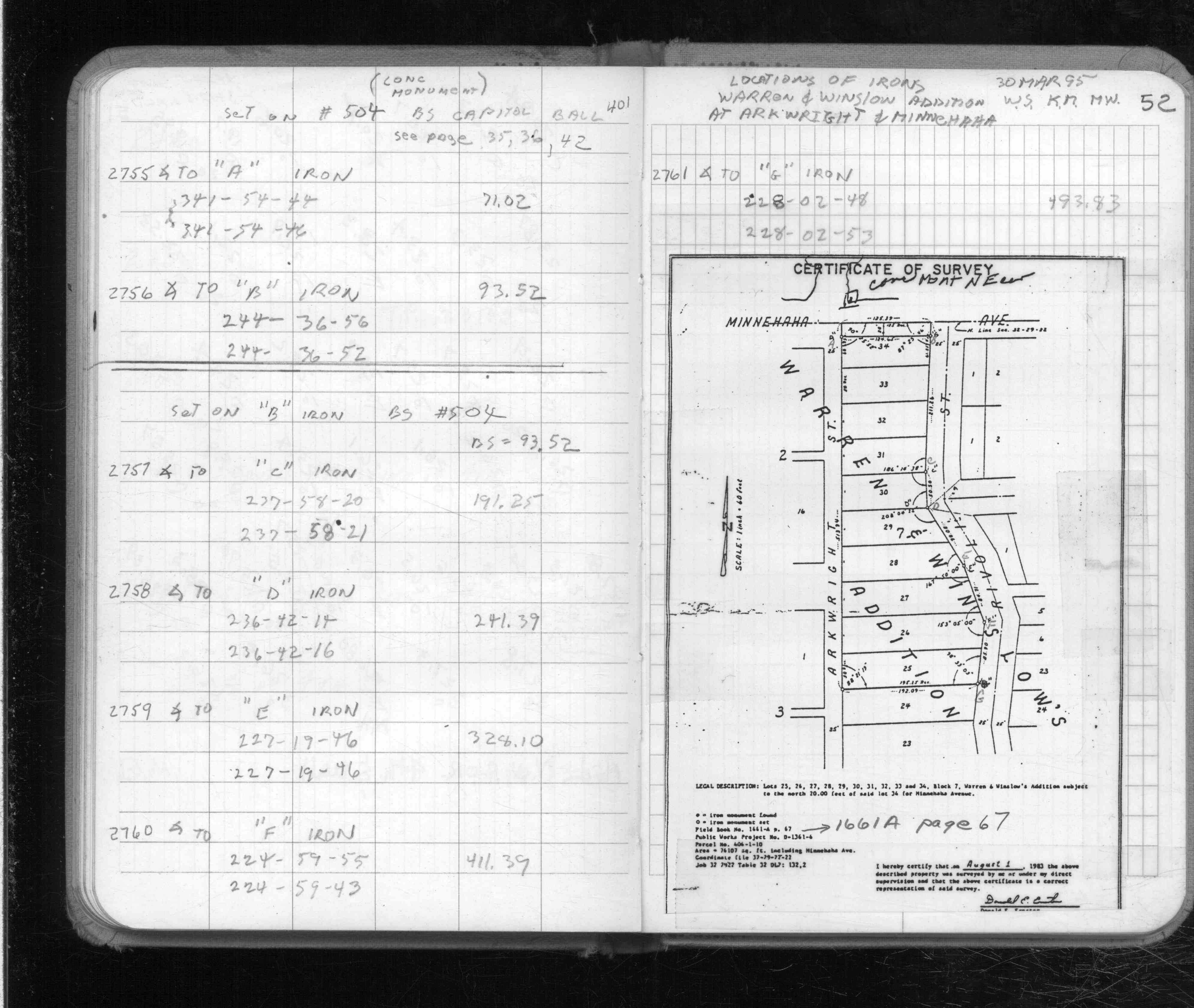
| FB 1501Ap. 42 ,52 | ||||||
| FB 1676Dp.39 | ||||||
| FB 1708Ap. 65 ,66 ,67 | ||||||
| FB 1733p.32 | ||||||
| FB 1735p.06 |
| FILE | PHOTO DATE | COMMENTS |
|---|---|---|
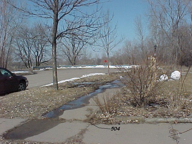
| 0504-0353-4.jpg | March 27, 2002 | Looking northerly along Arkwright. |
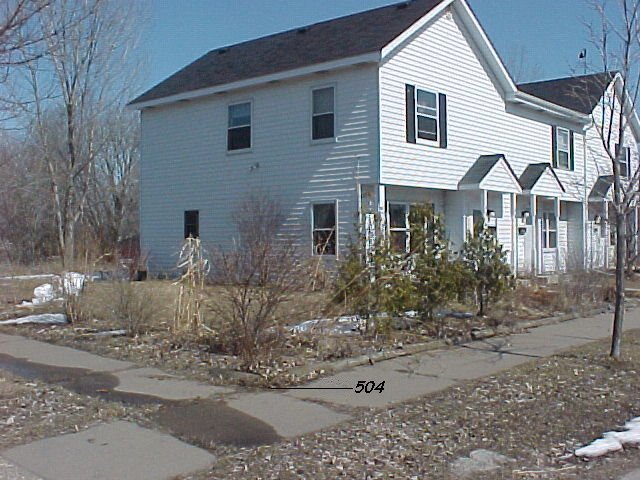
| 0504-0353-3.jpg | March 27, 2002 | Looking NE, monument at sidewalk intersection. |
| 0504-0353-2.jpg | March 27, 2002 | Looking west towards State Capitol. Capitol shown in background. |
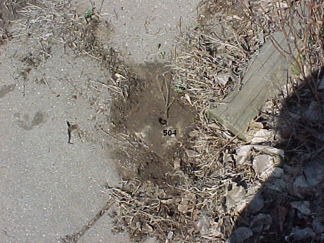
| 0504-0353-1.jpg | March 27, 2002 | Close up of the Concrete monument. |