| NAD83 COORDINATES (1986 adj.): |
|---|
| X= 596858.585 Y= 140403.812 Z= 000.00 LSQ 12/06/1991 S FLT |
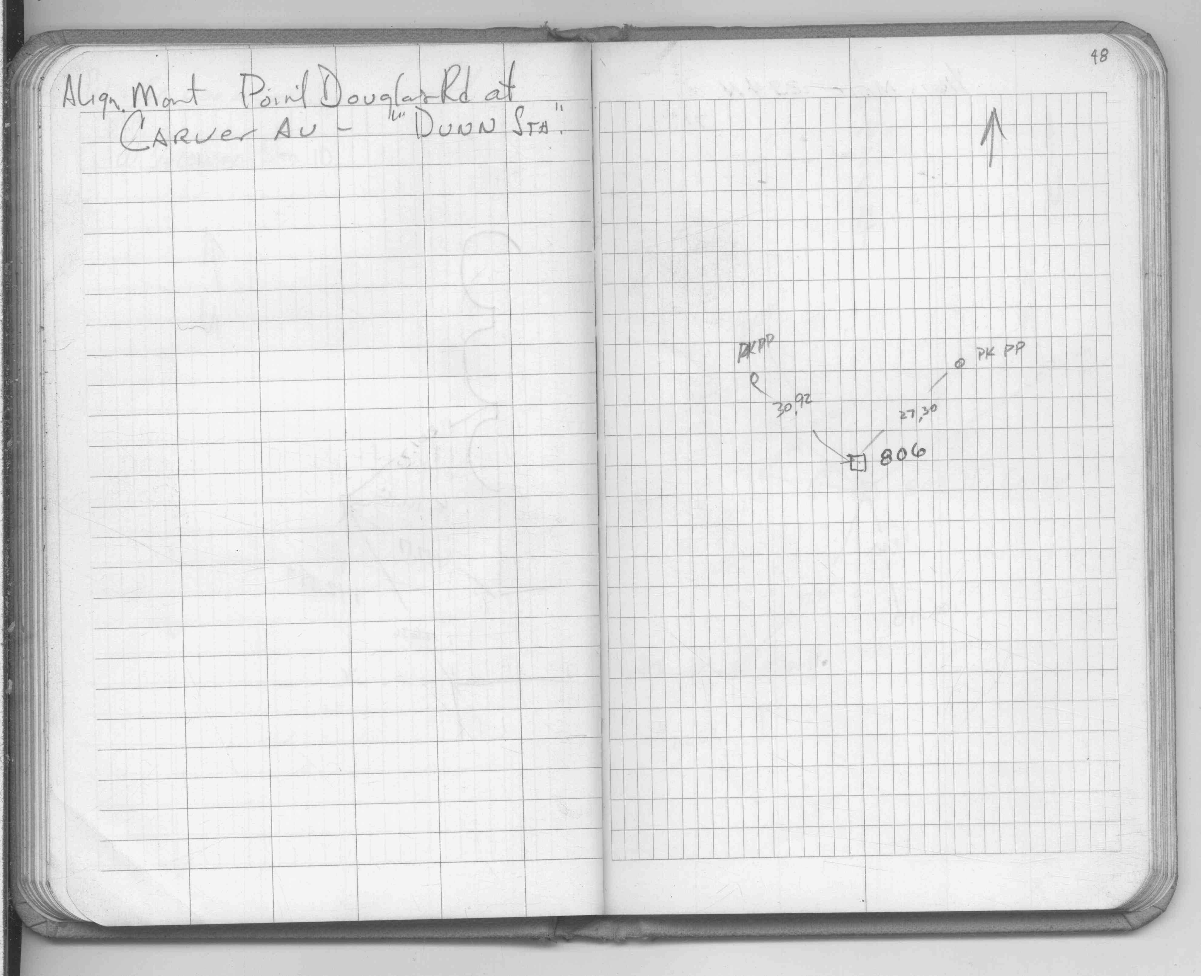
| 11/16/2012 | Found PK nail at street grade. Photos taken. |
| 9/20/1990 | Placed ties. See FB 1634 p.81 |
| 1/15/1987 | Placed ties on PK nail. See FB 1634 p.81 |
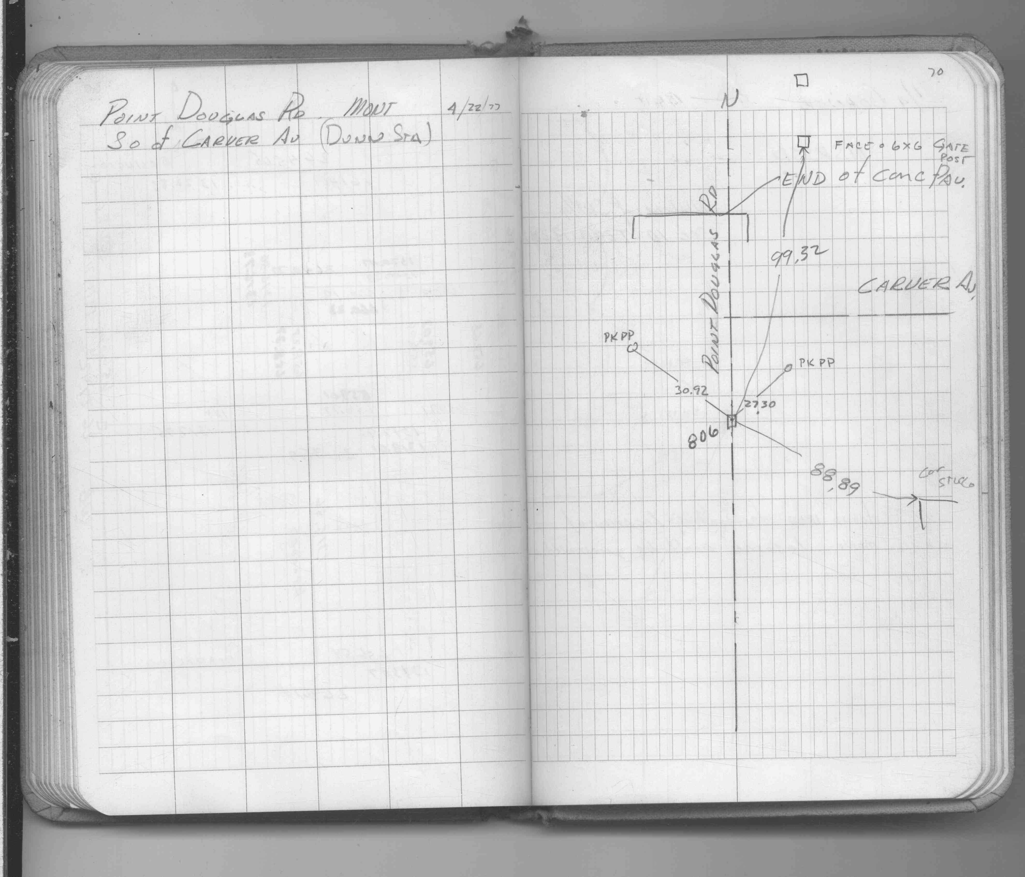
| 4/22/1977 | Placed ties. See FB 1689A p.70 |
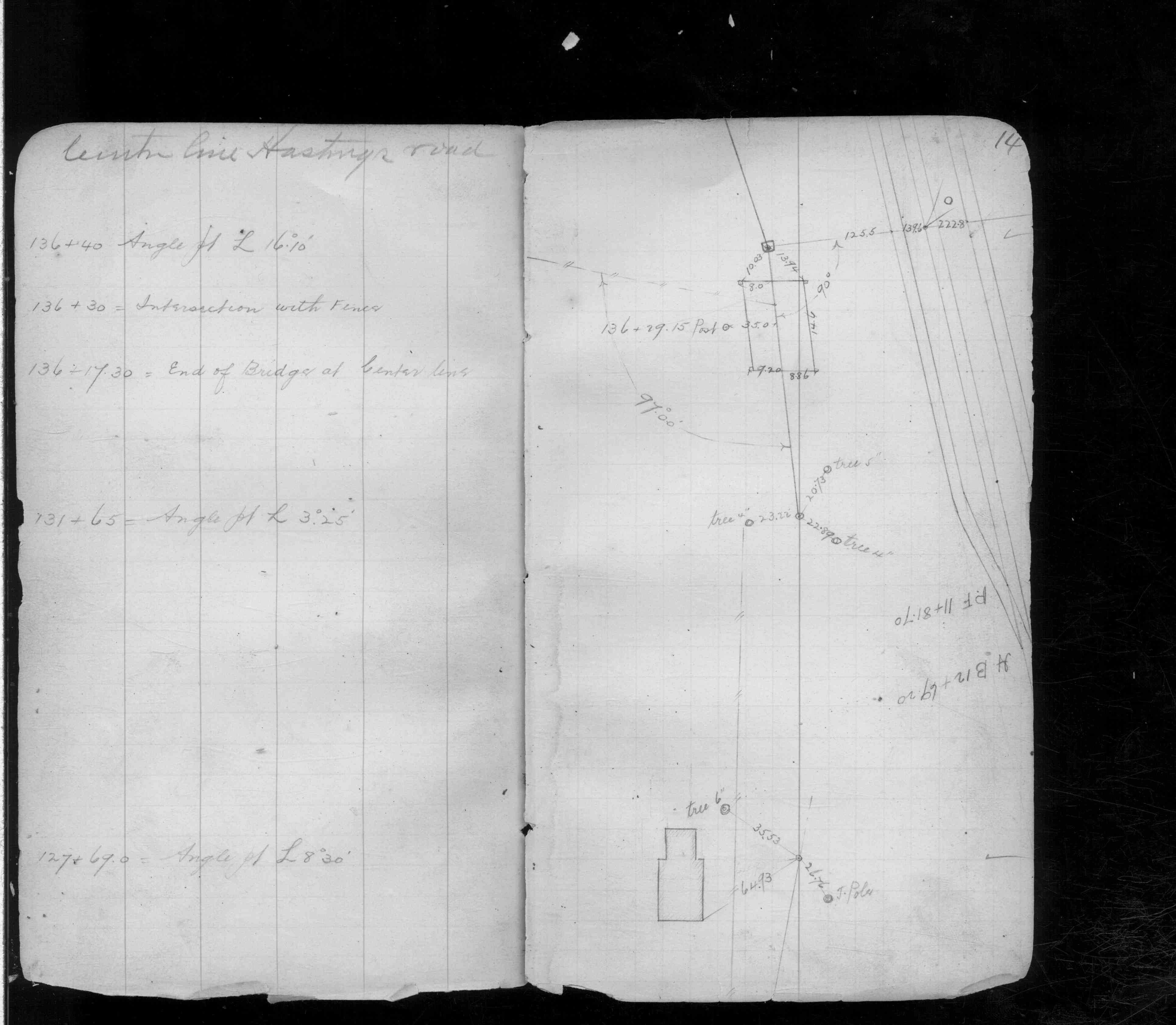
| 11/1/1891 | (Unknown date Nov __, 1891 ) Monument set by J H Armstrong. See FB 355 p.14 |
| 1/1/1800 | (Unknown date ___ __, ____ ) Placed ties. See FB 1689B p.48 |
Above is NOT an all inclusive history of this point. Please review all the links below.
| PLS NOTES | Field | Cross Section | Sewer | J.B. Irvine | Monument | River Survey |
|---|---|---|---|---|---|---|
| FB 0355p.14 | ||||||
| FB 1549Hp. 08 ,15 | ||||||
| FB 1549Ip.12 | ||||||
| FB 1549Kp. 65 ,66 | ||||||
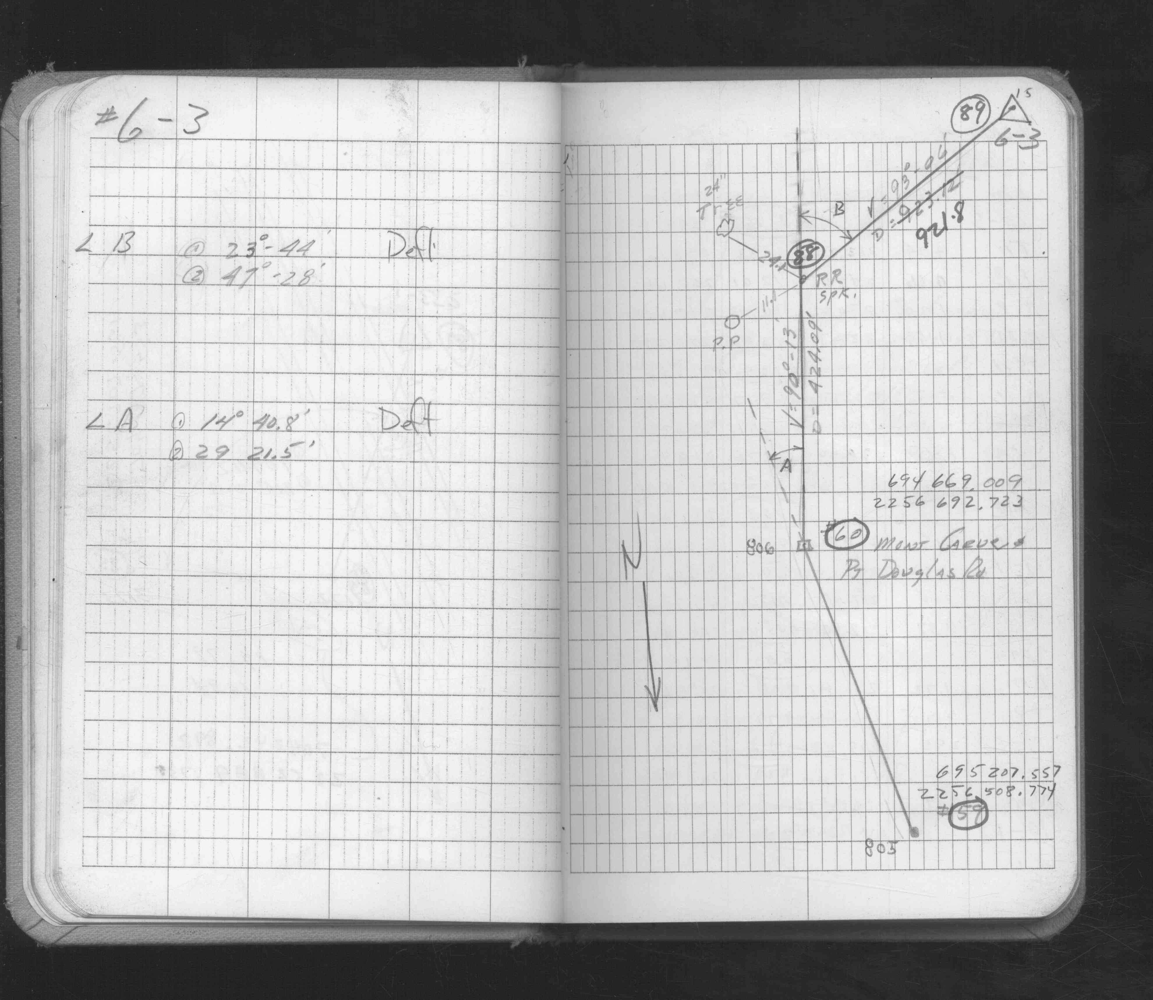
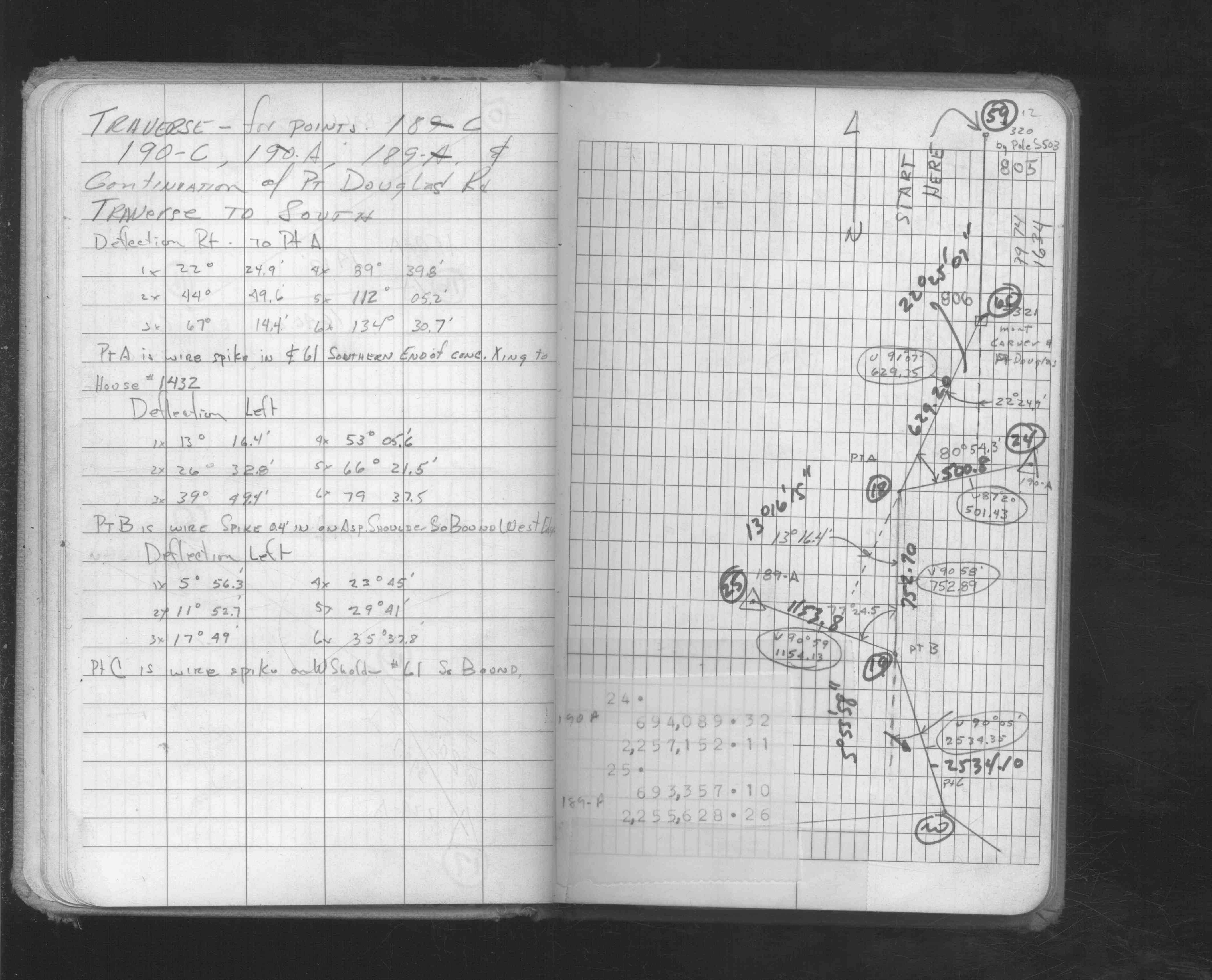
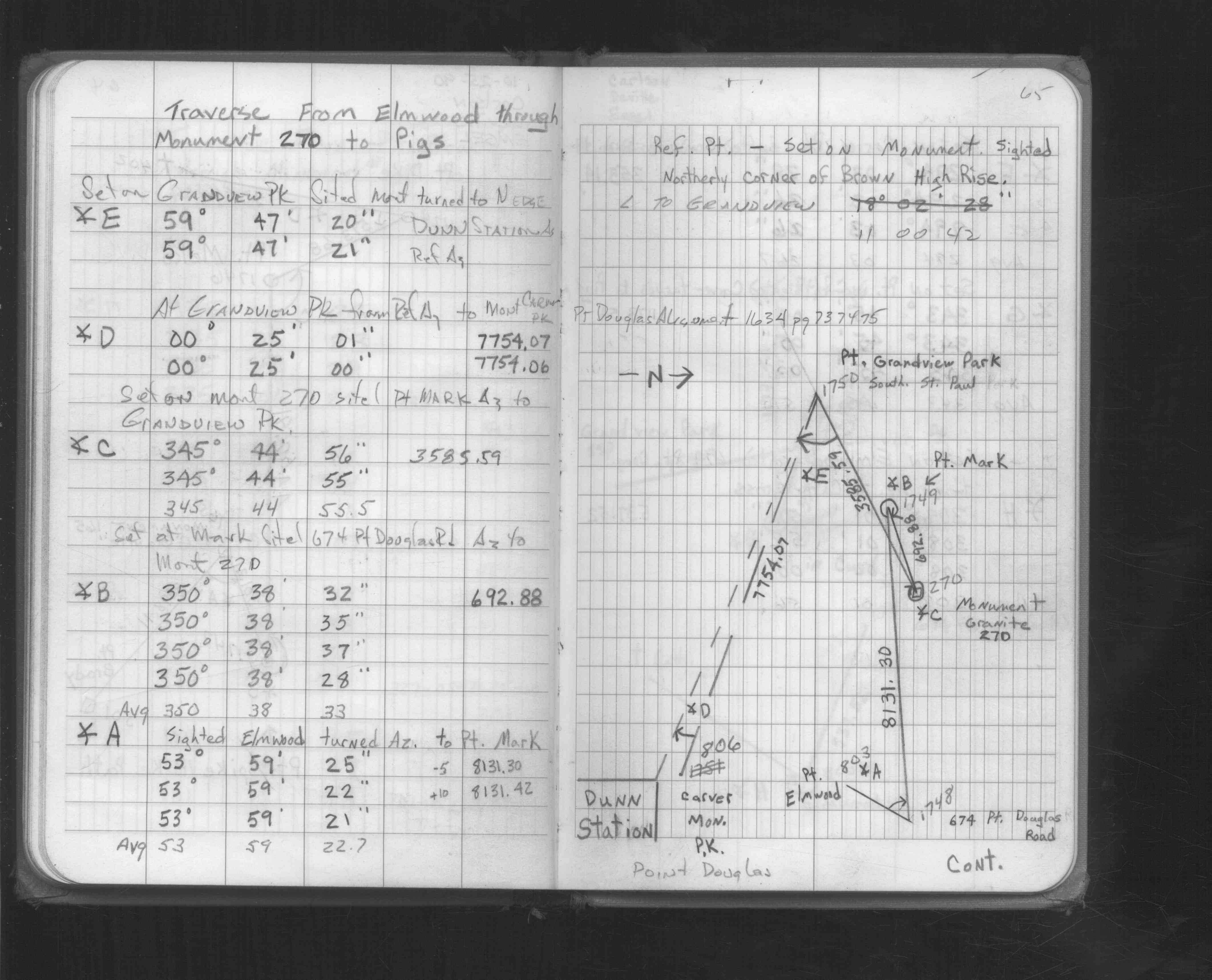
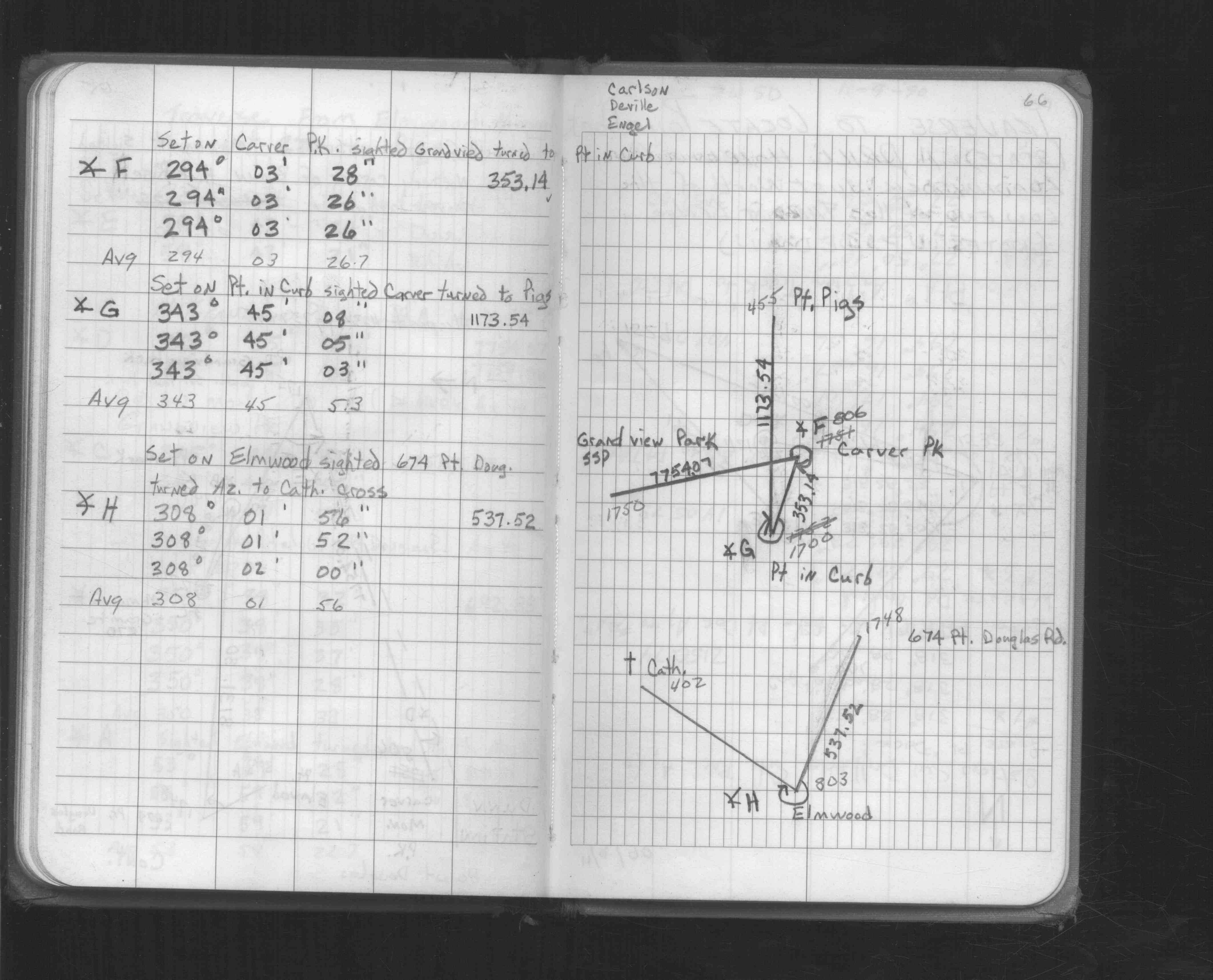
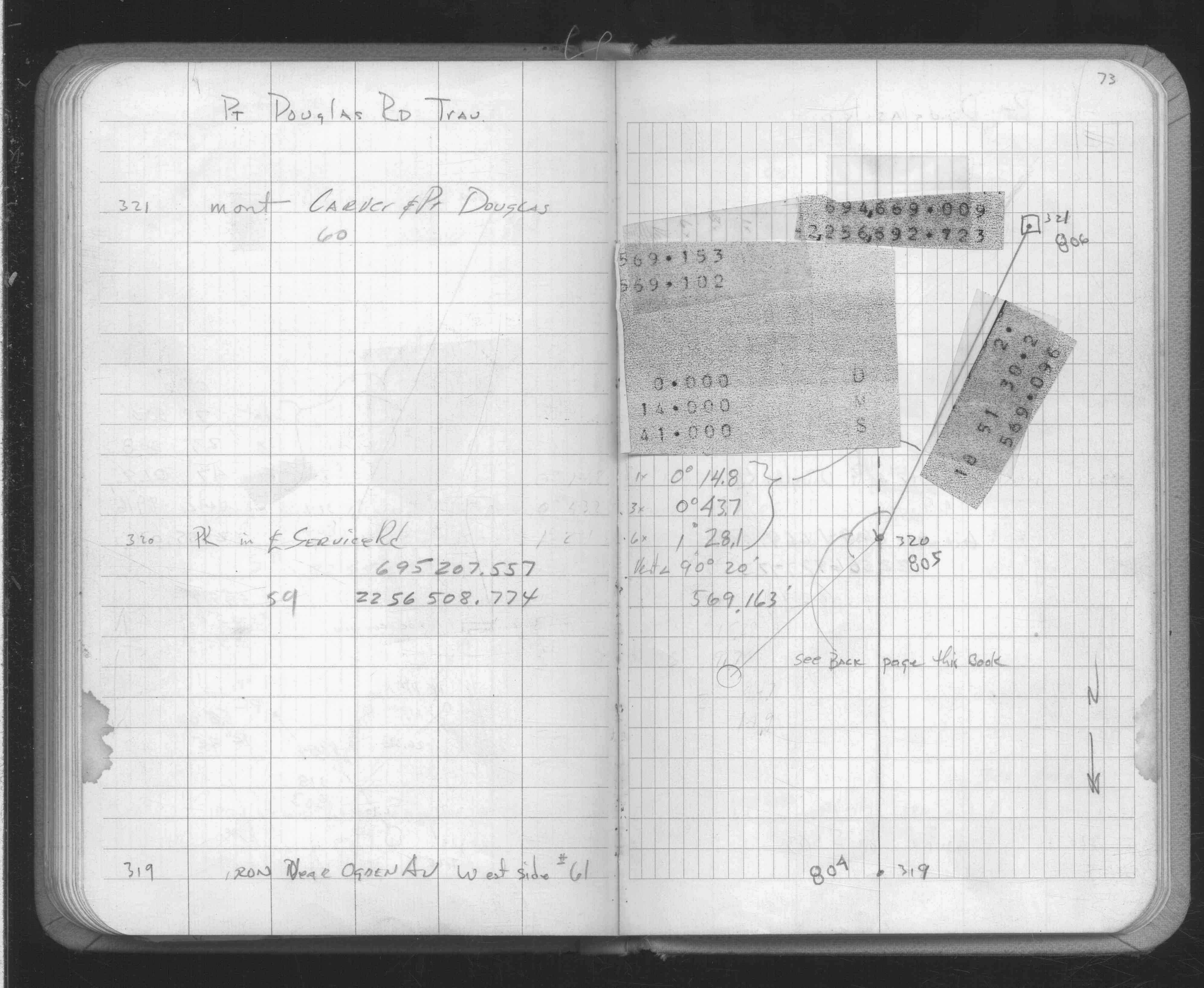
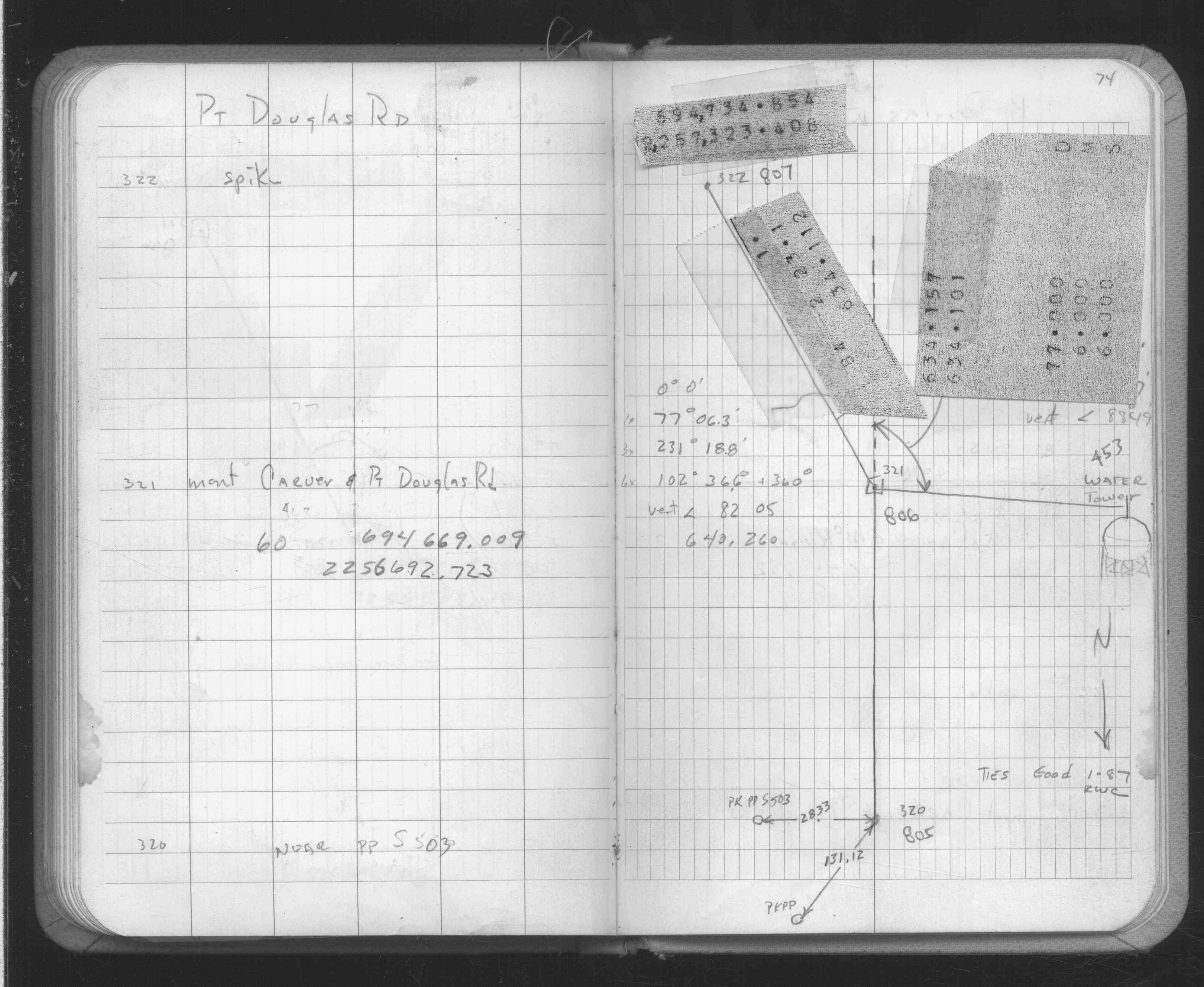
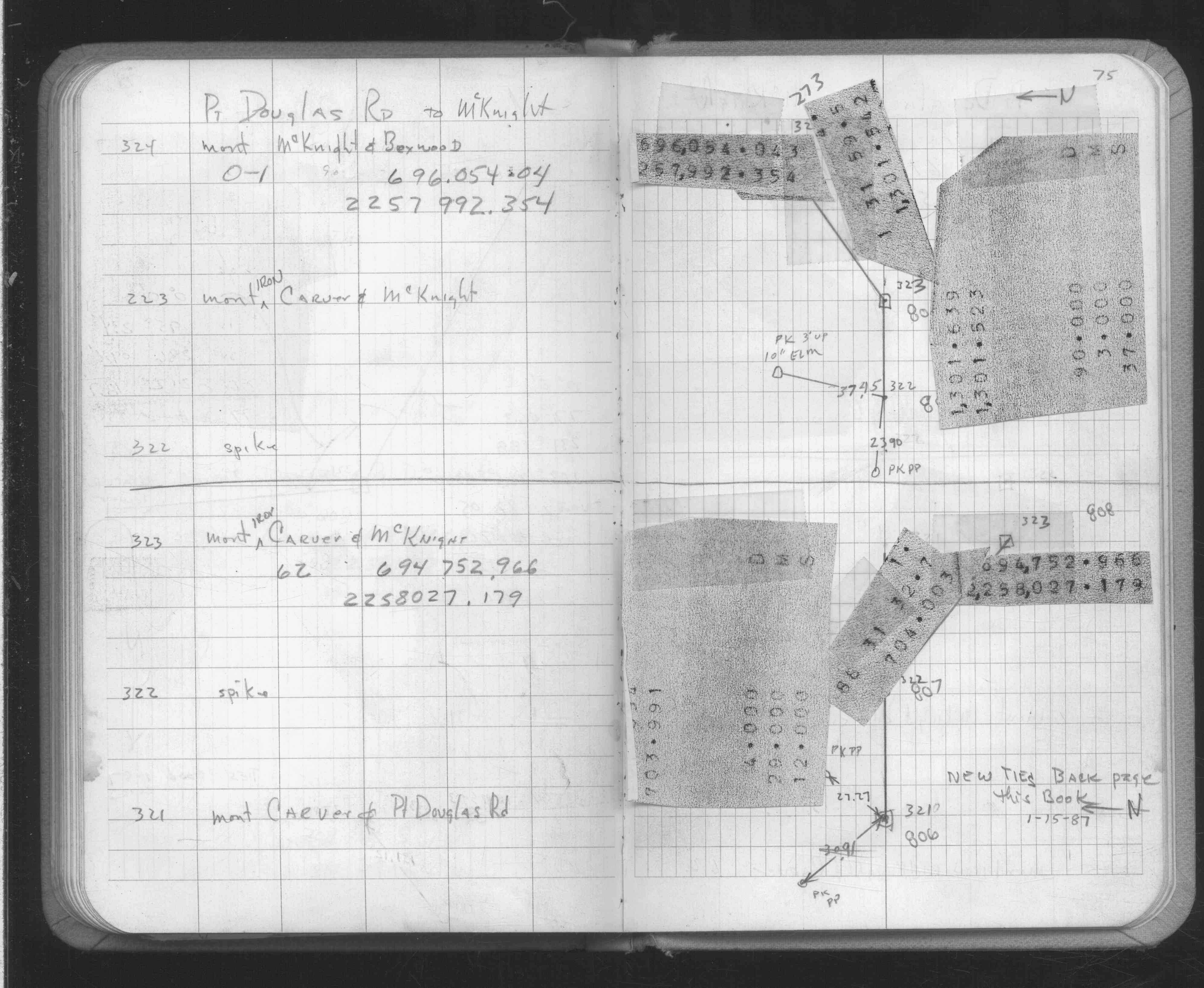
| FB 1634p. 73 ,74 ,75 | ||||||
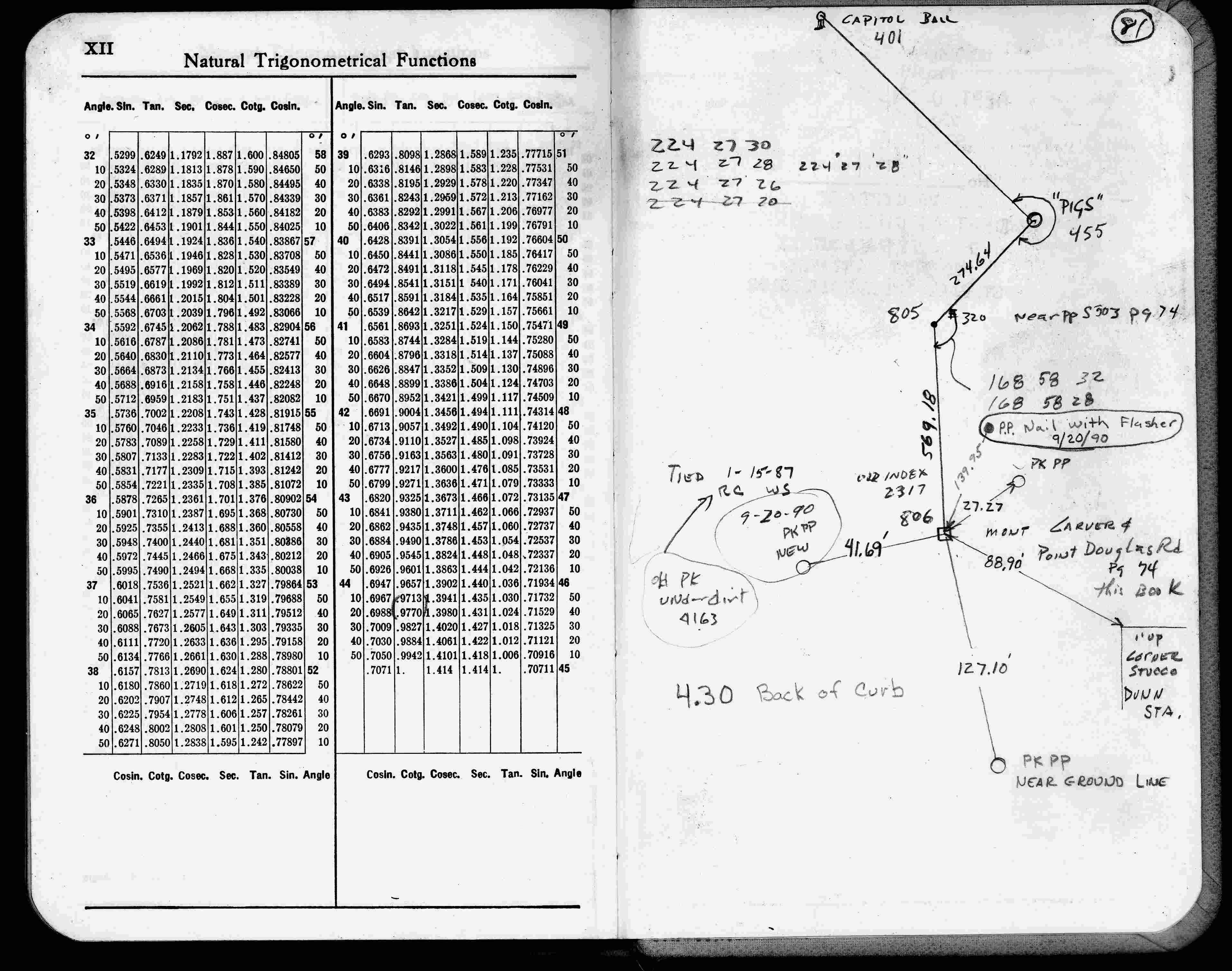
| FB 1634p.81 | ||||||
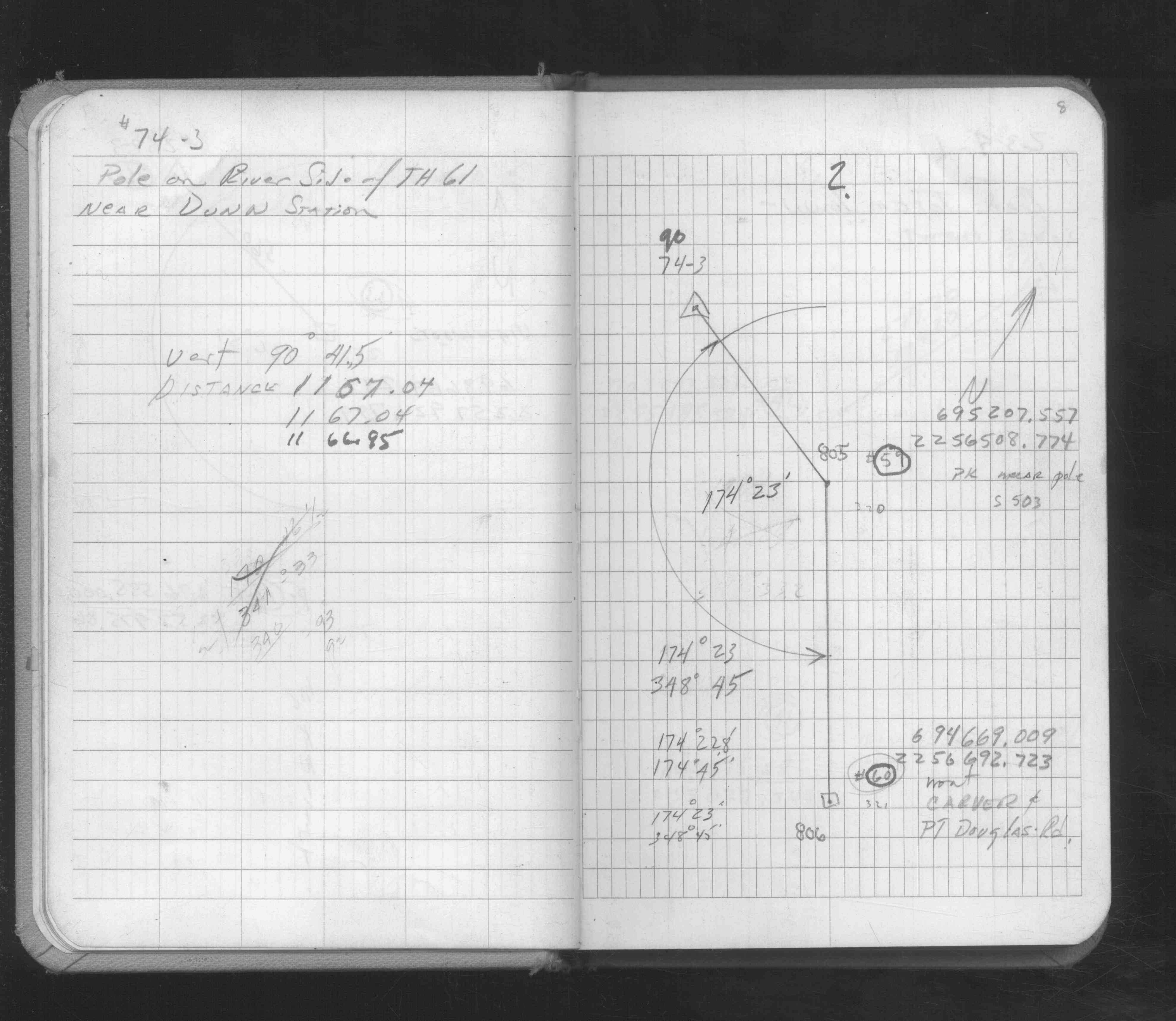
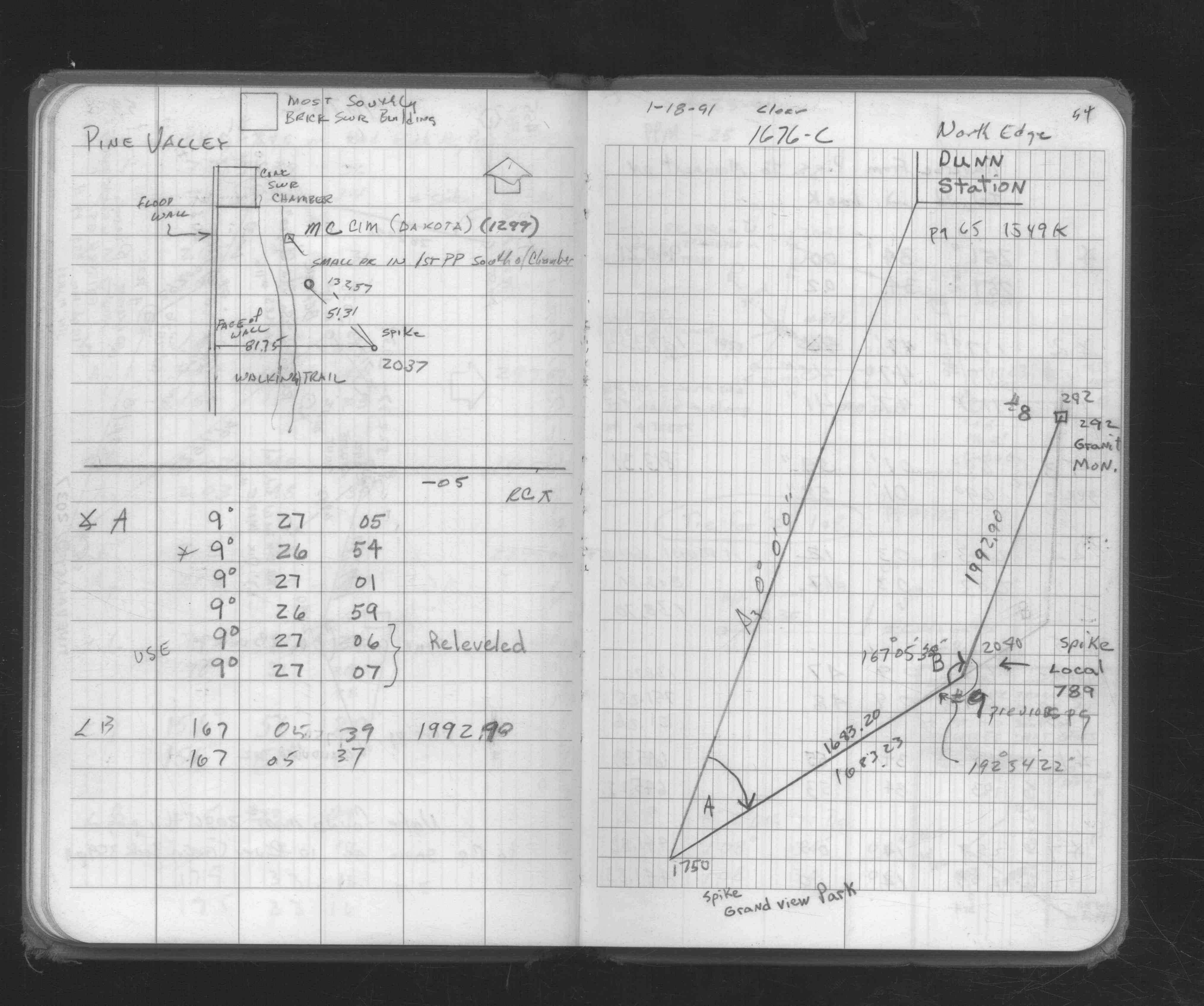
| FB 1676Cp.54 | ||||||
| FB 1689Ap.70 | ||||||
| FB 1689Bp.48 |
| FILE | PHOTO DATE | COMMENTS |
|---|---|---|
| 0806-2317-5.jpg | November 16, 2012 | Looking east toward Highway 61. |
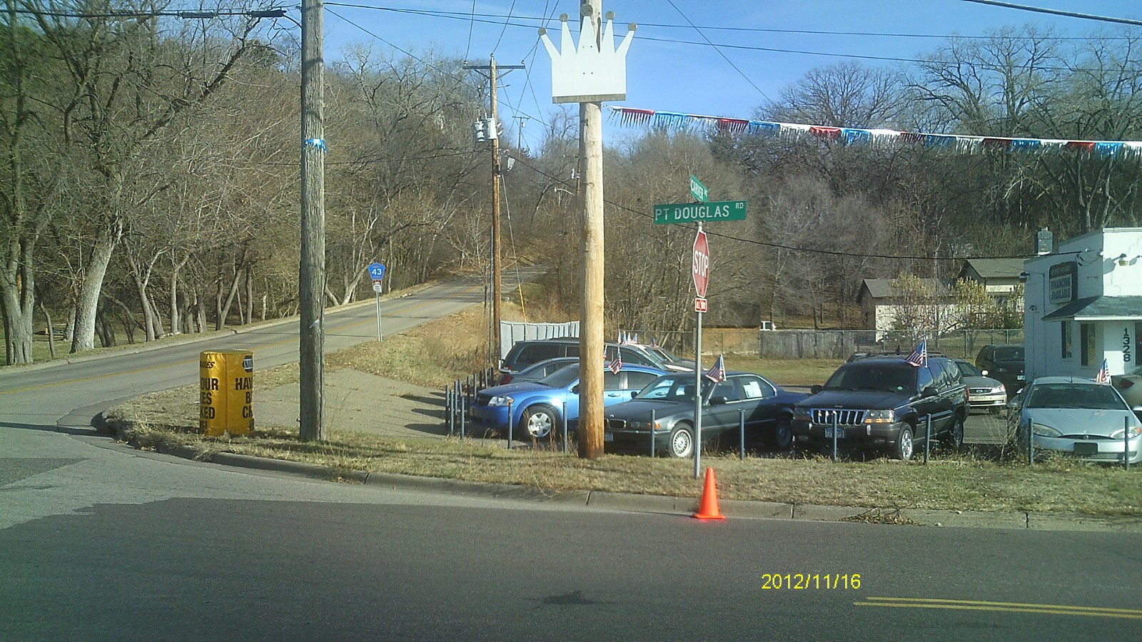
| 0806-2317-4.jpg | November 16, 2012 | Looking south along Pt Douglas Rd. |
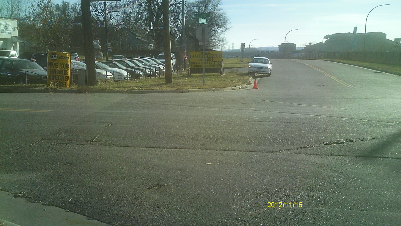
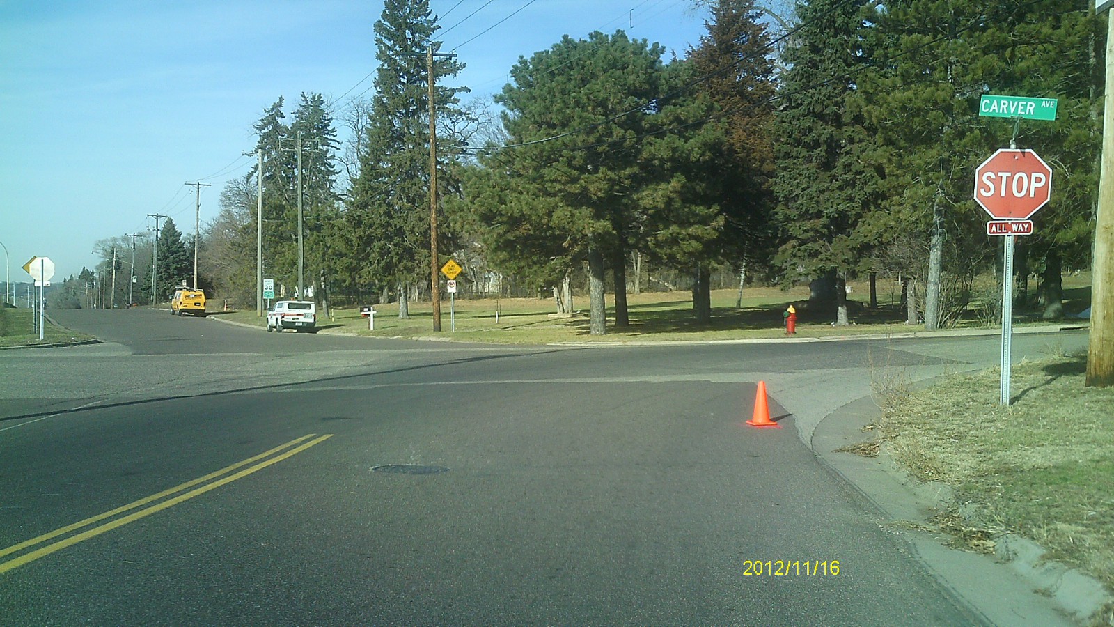
| 0806-2317-3.jpg | November 16, 2012 | Looking east along Carver Ave. |
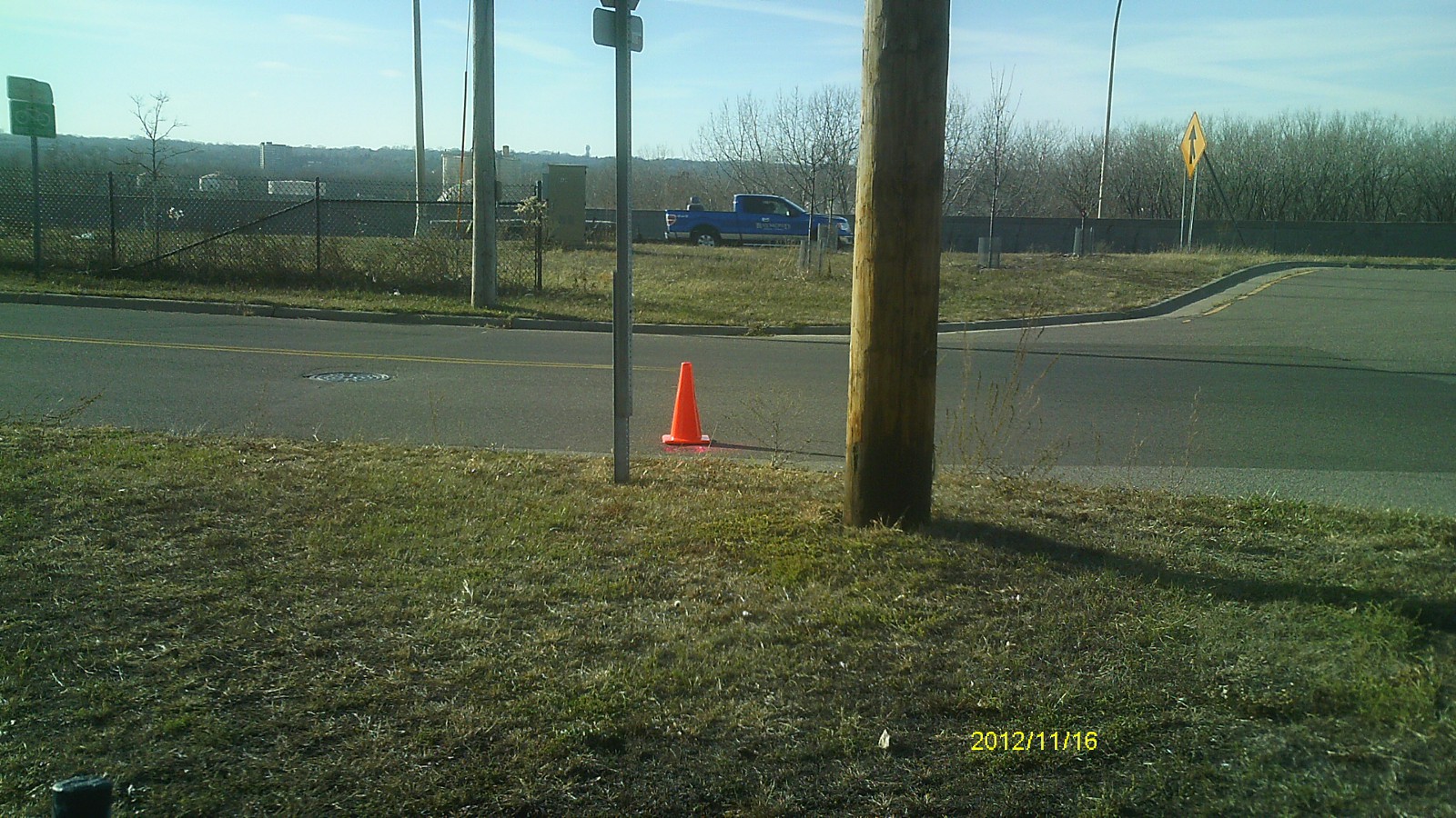
| 0806-2317-2.jpg | November 16, 2012 | Looking north along Pt Douglas Rd. |
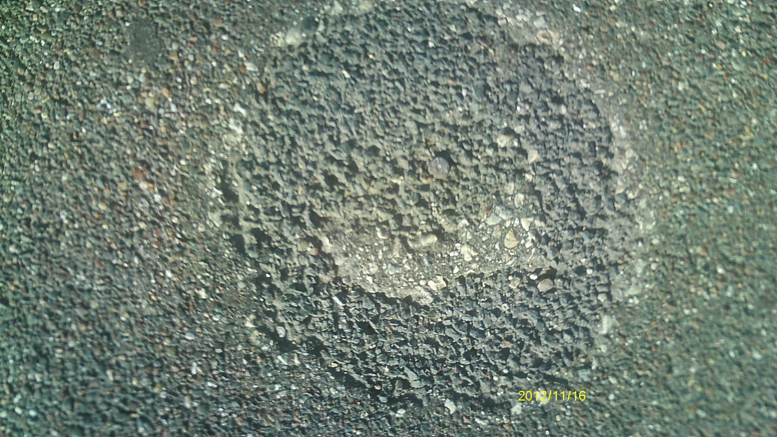
| 0806-2317-1.jpg | November 16, 2012 | Close up of monument. |