| NAD83 COORDINATES (1986 adj.): |
|---|
| X= 561277.845 Y= 166708.737 Z= 000.00 LSQ 12/06/1991 S FLT |
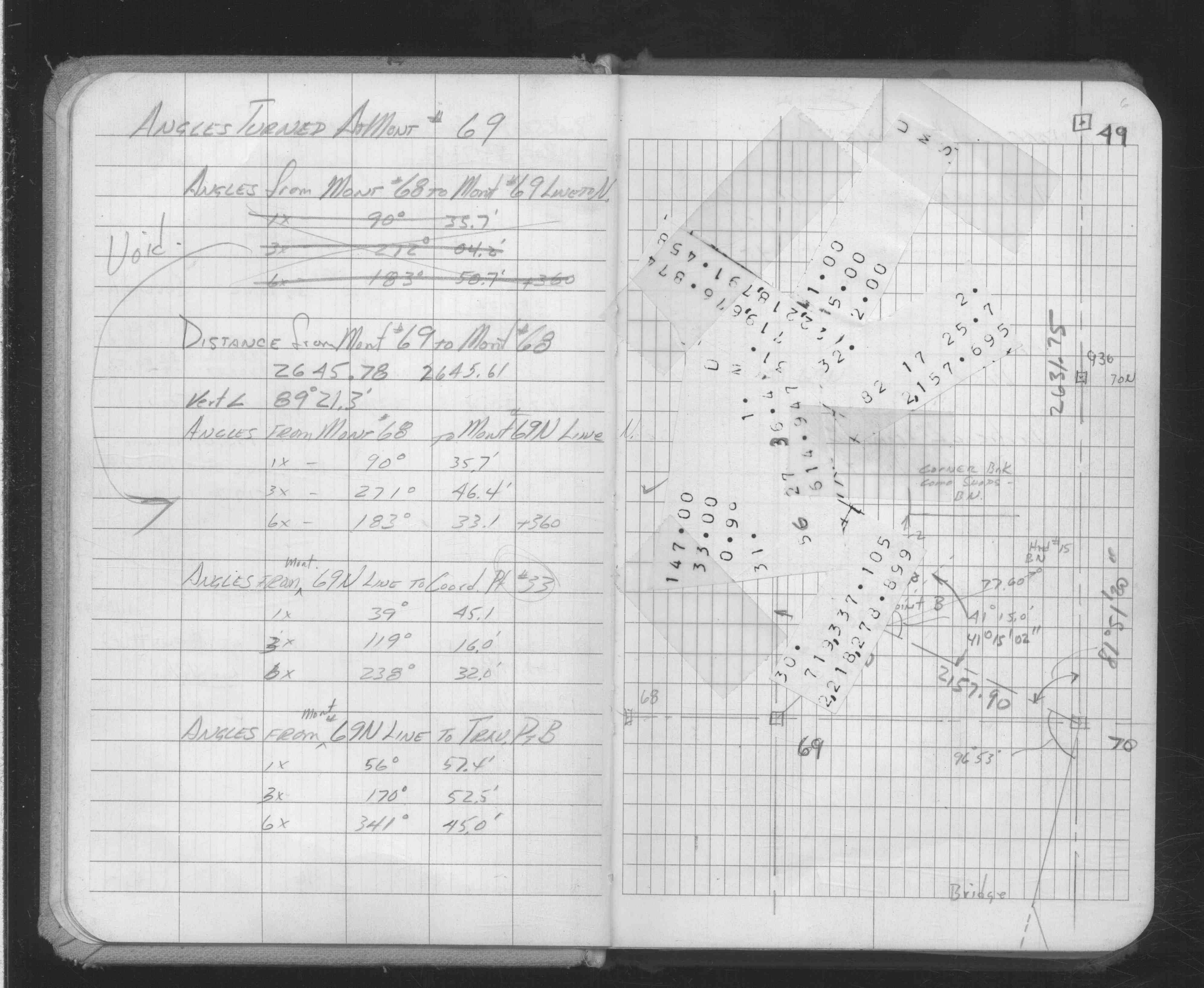
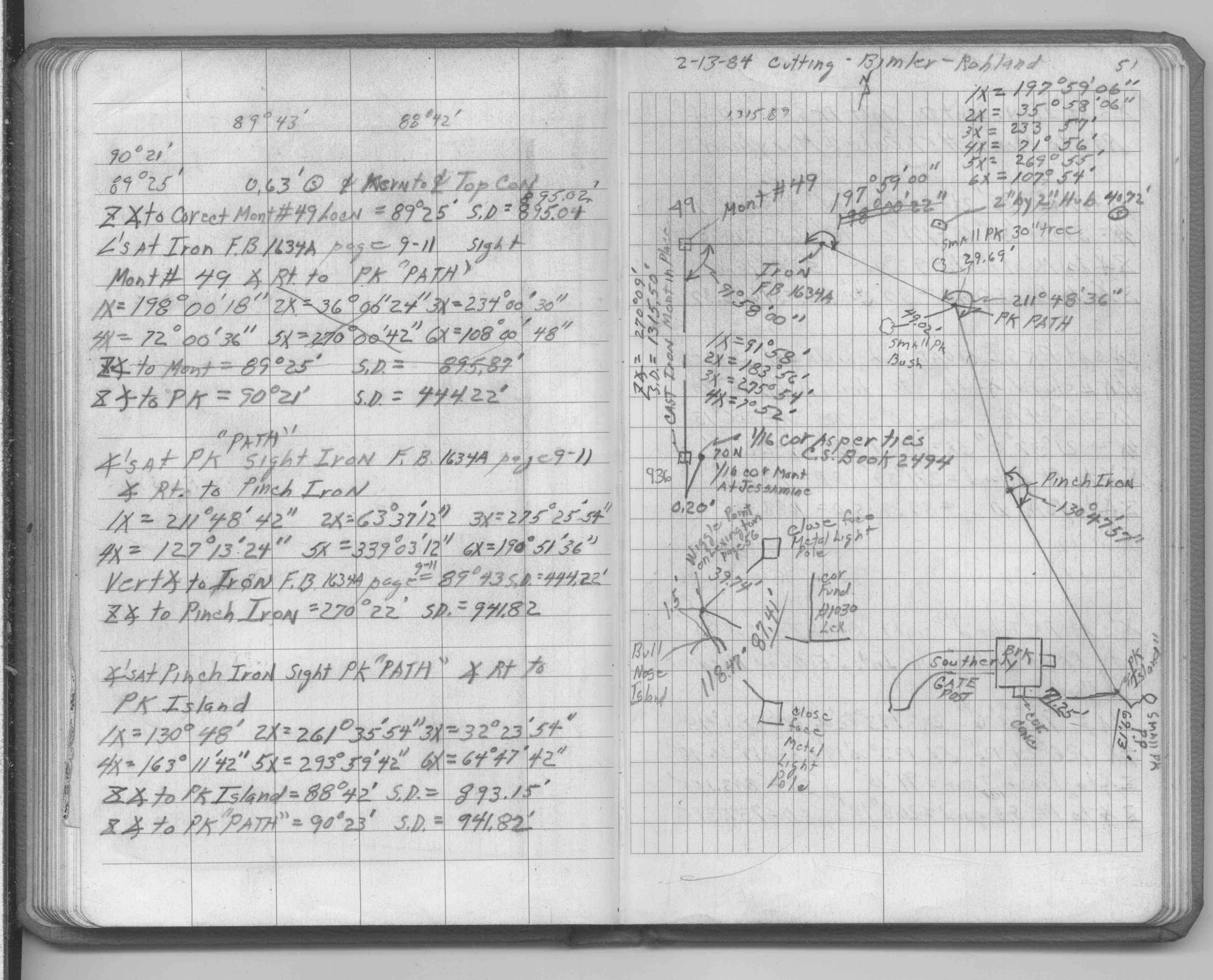
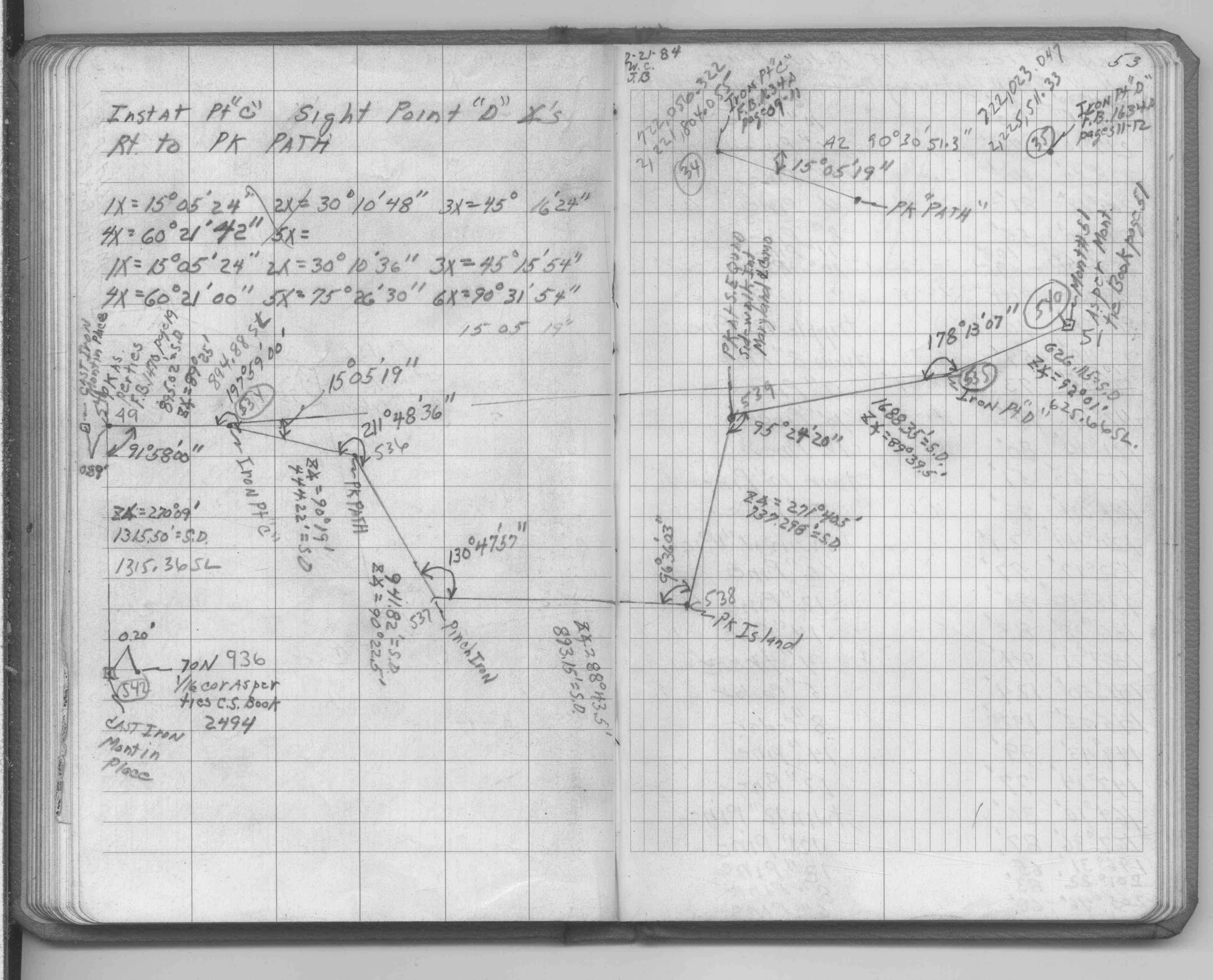
| 2/15/1984 | Placed ties. See FB 1689A p.32 |
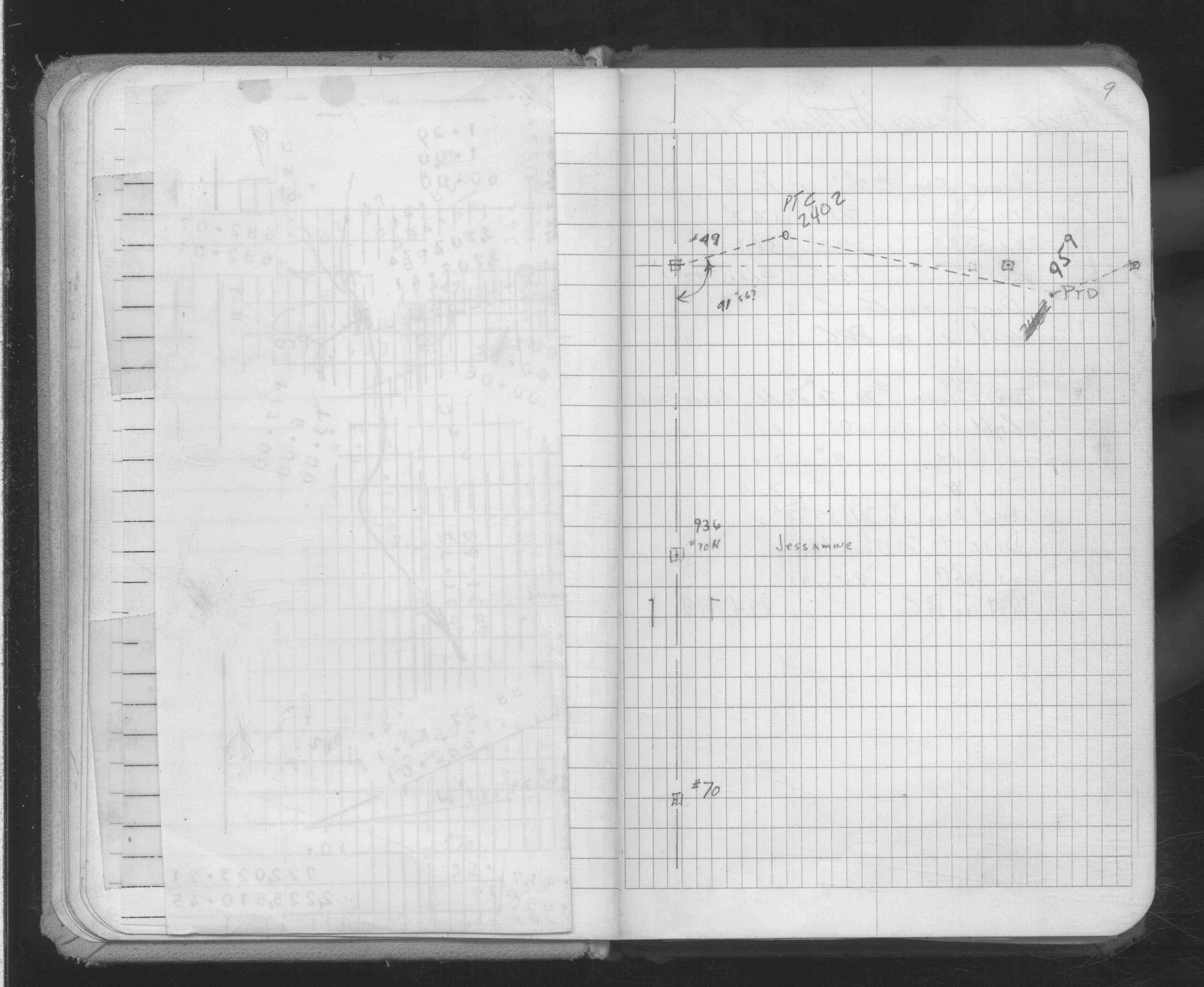
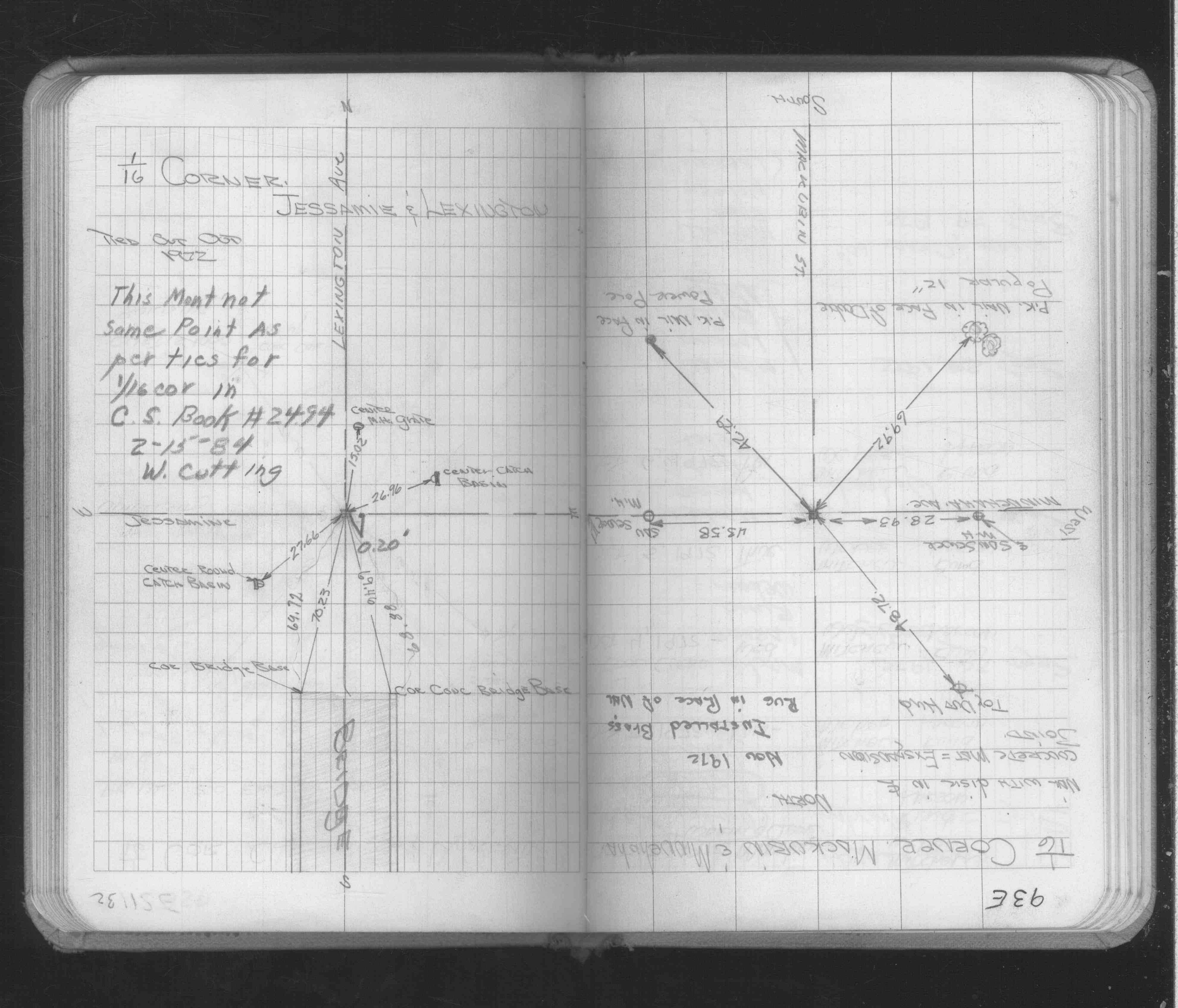
| 6/1/1938 | (Unknown date Jun __, 1938 ) Placed ties. See CS 2494 p.1 (pt 936 is a CIM 0.20' W of ties) |
| 8/19/1889 | Monument set by McCoy after grading. |
Above is NOT an all inclusive history of this point. Please review all the links below.
| PLS NOTES | Field | Cross Section | Sewer | J.B. Irvine | Monument | River Survey |
|---|---|---|---|---|---|---|
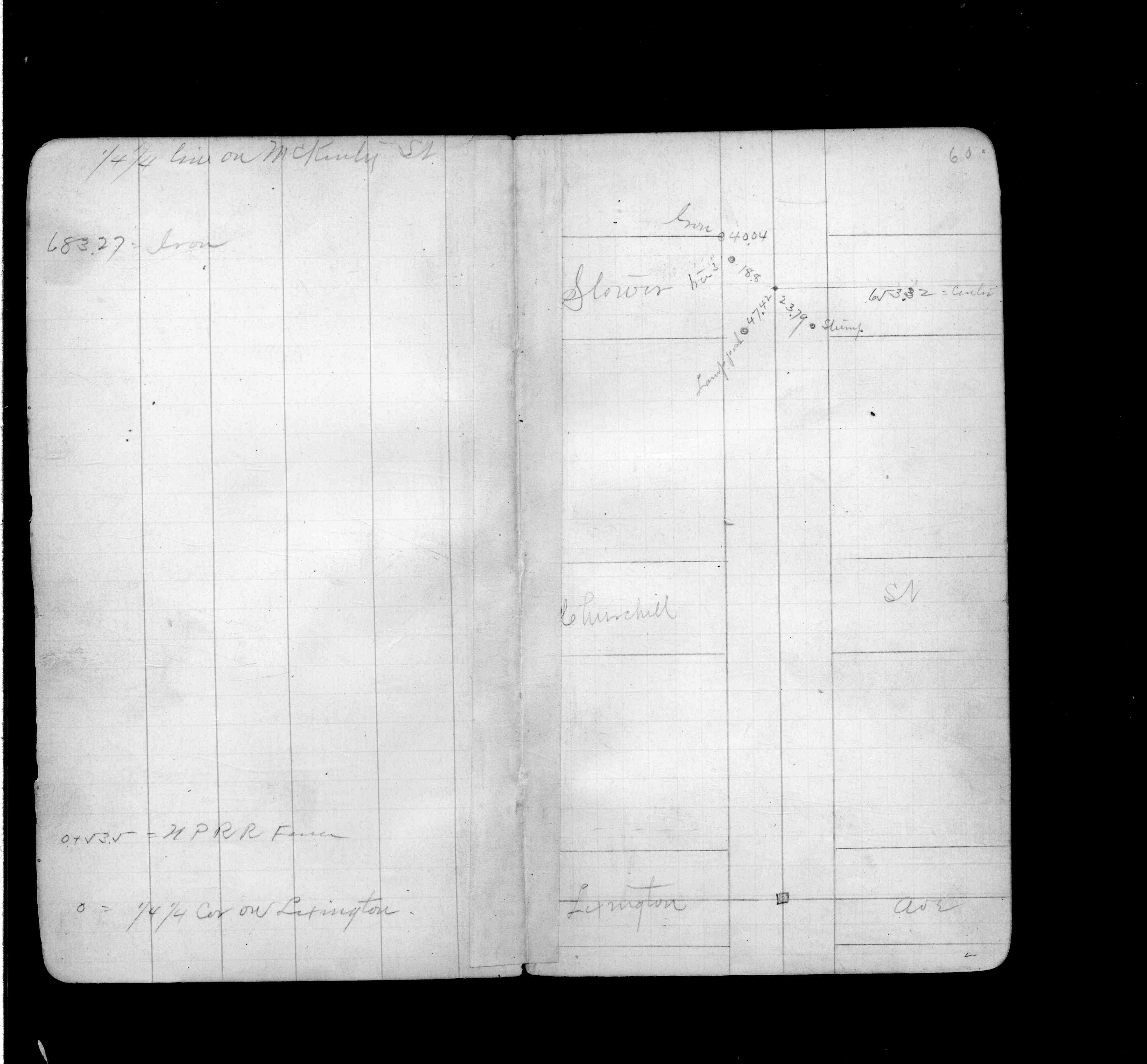
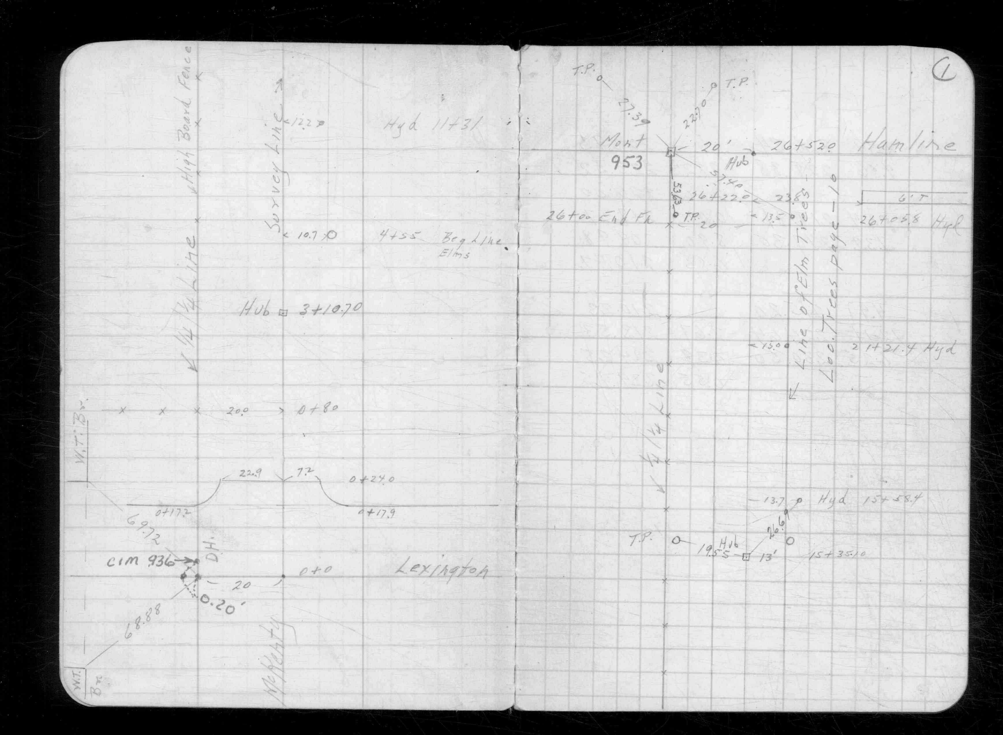
| FB 0311p.60 | CS 2494p.01 | |||||
| FB 1634Ap. 06 ,09 | ||||||
| FB 1689Ap.32 | ||||||
| FB 1690Ap. 51 ,53 | ||||||
| FB 1706Ap. 16 ,19 |