| NAD83 COORDINATES (1986 adj.): |
|---|
| * X= 561282.086 Y= 170465.958 Z= 000.00 CMP 05/05/1999 |
| X= 561282.244 Y= 170465.777 Z= 000.00 CMP 12/17/1991 |
| 3/5/2024 | Tom's test. |
| 3/1/1891 | (Unknown date Mar __, 1891 ) Placed ties. See FB 345 p.40 |
| 11/1/1847 | (Unknown date Nov __, 1847 ) Isaac N Higbee deputy surveyor set post. Tied to 2 BTs. See IH p.084-085 2923 |
Above is NOT an all inclusive history of this point. Please review all the links below.
| PLS NOTES | Field | Cross Section | Sewer | J.B. Irvine | Monument | River Survey |
|---|---|---|---|---|---|---|
| IH p.084-085 | FB 0313p.25 | |||||
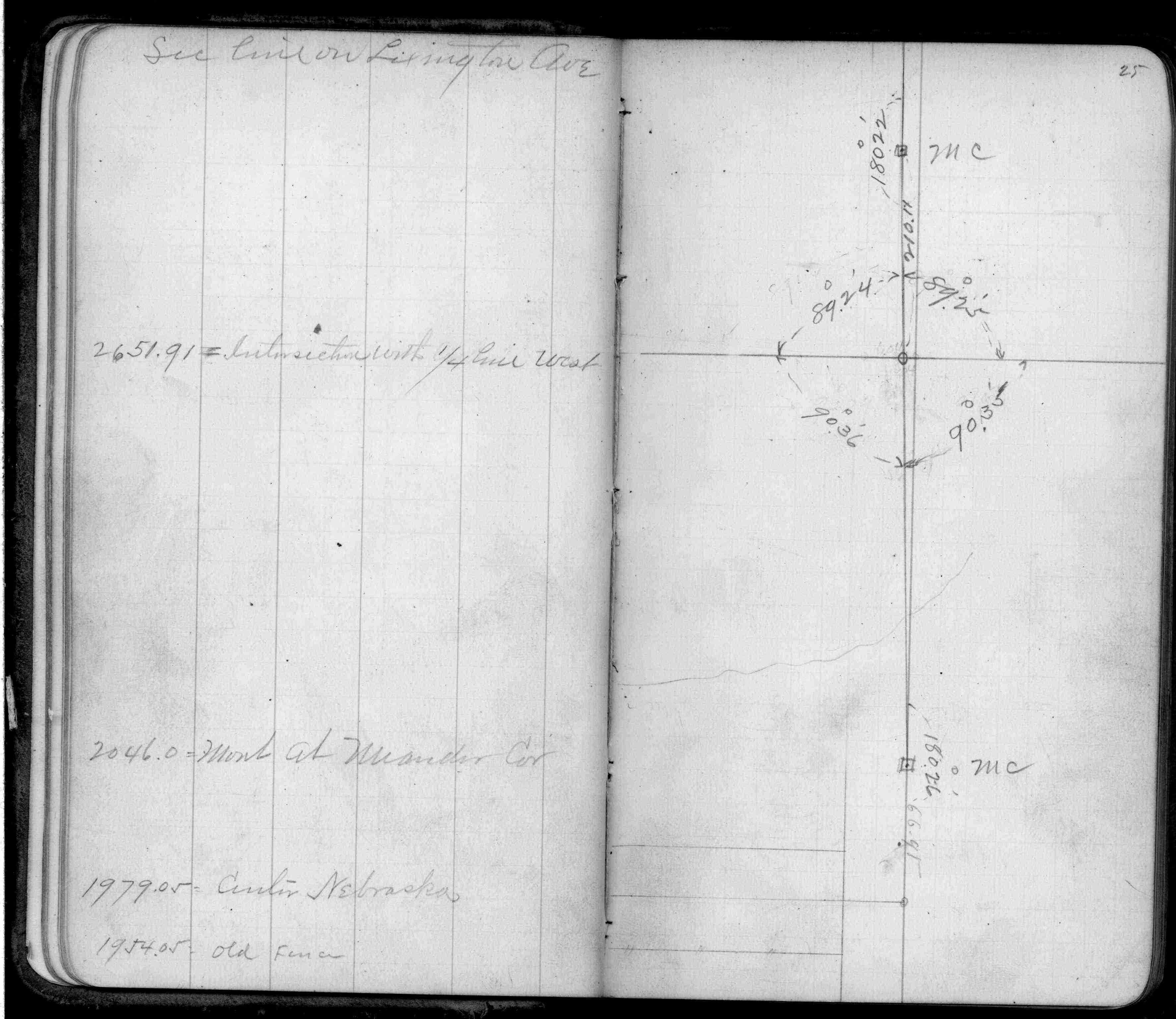
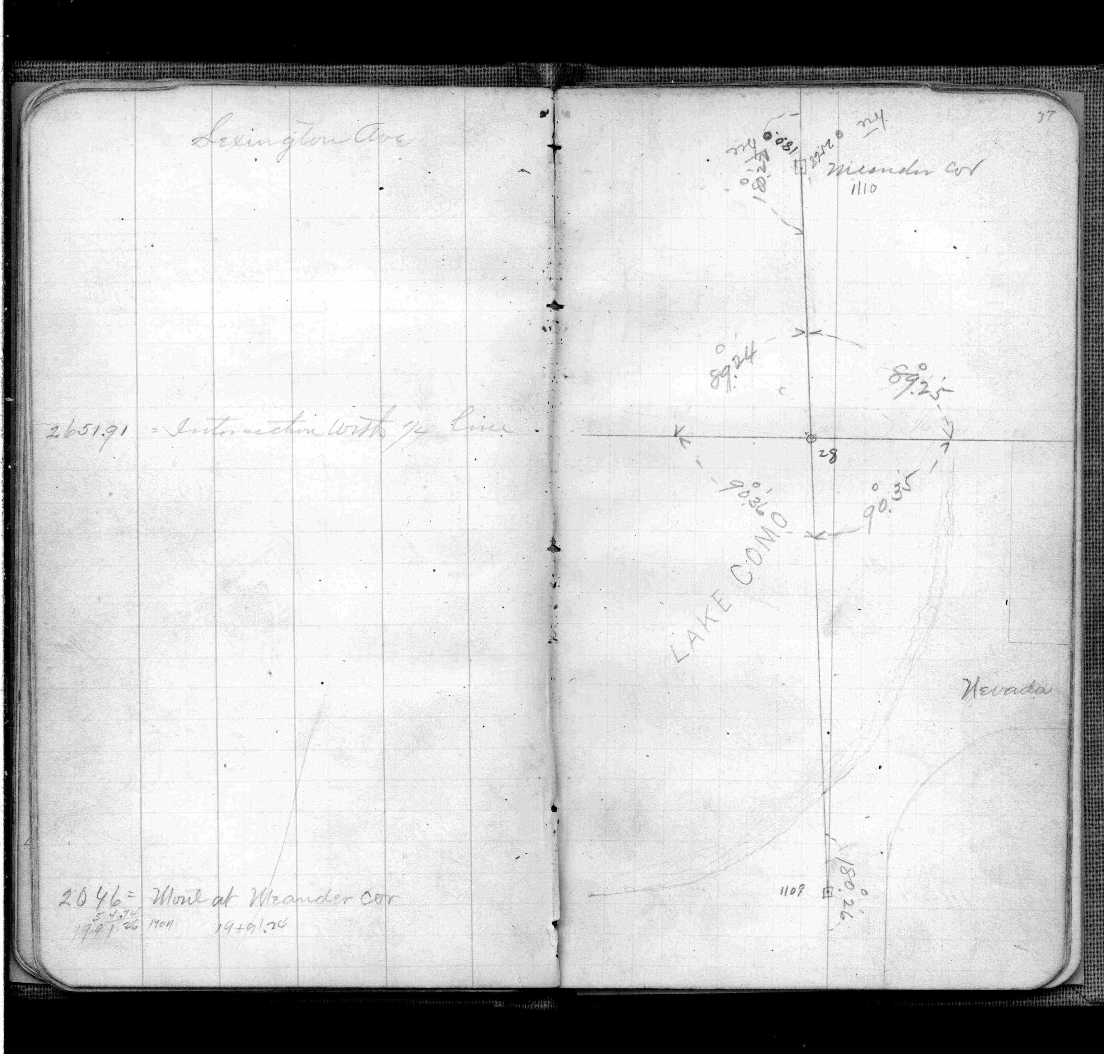
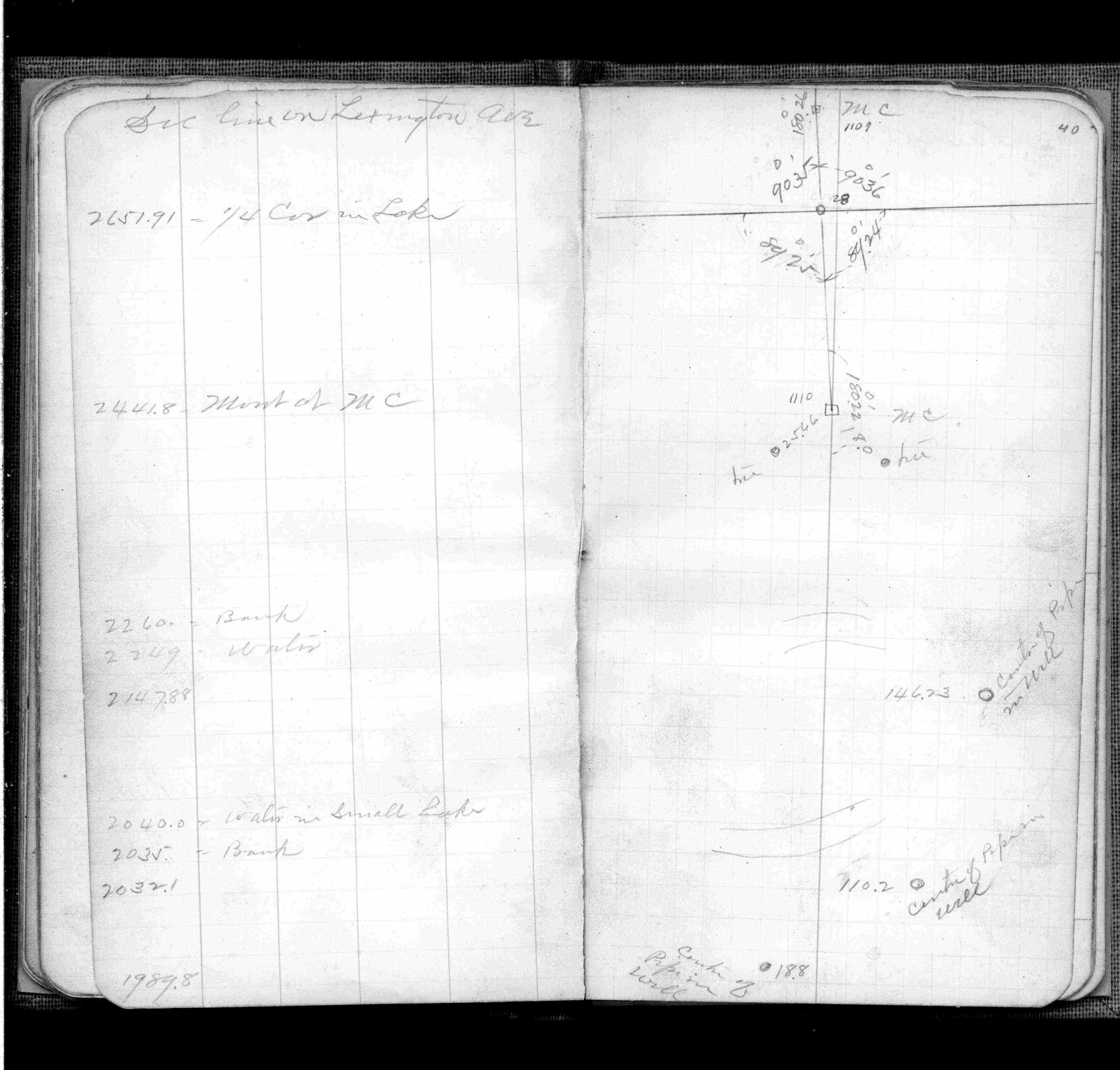
| FB 0345p. 37 ,40 | ||||||
| FB 0345p.40 | ||||||
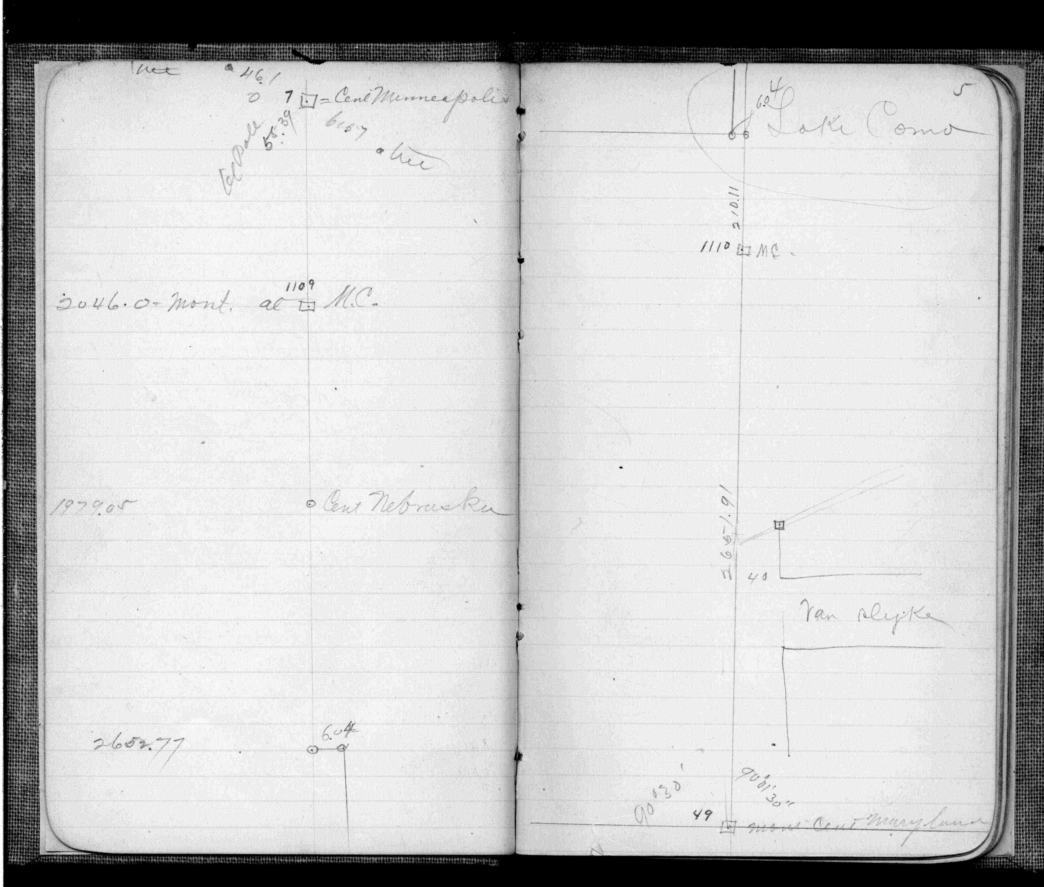
| FB 0403p.05 |