| NAD83 COORDINATES (1986 adj.): |
|---|
| X= 558685.424 Y= 143011.550 Z= 000.00 CMP 12/17/1991 |
| 2/1/2010 | Placed ties on the GM. See CofL 1233-1709-A.pdf |
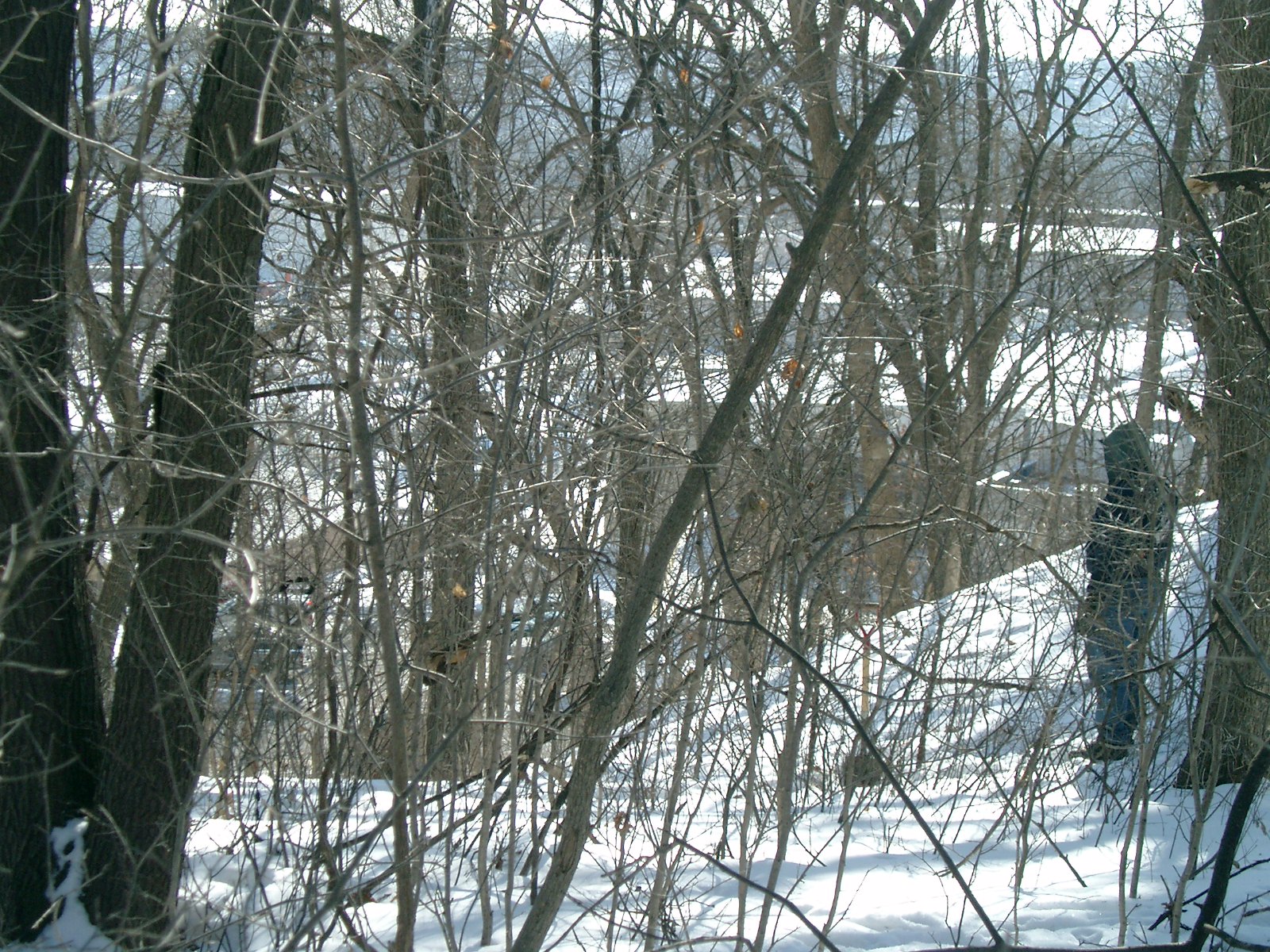
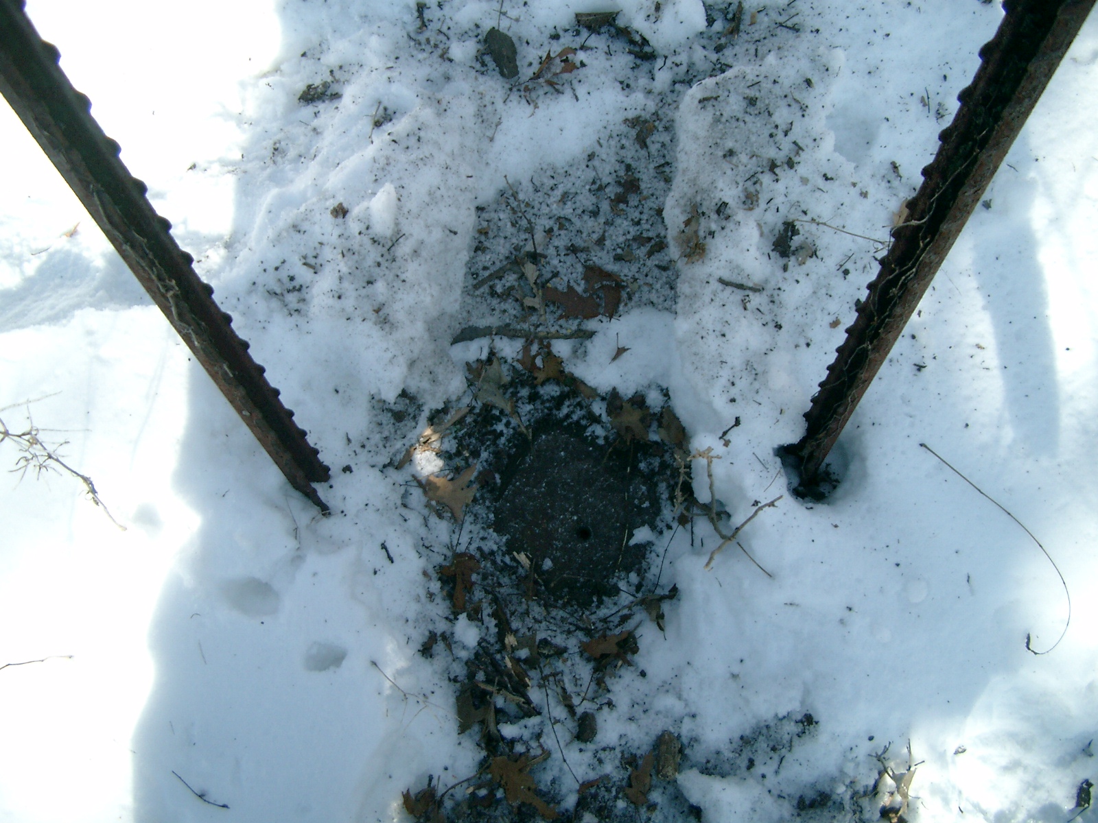
| 1/29/2010 | Found GM at grade. Photos taken. |
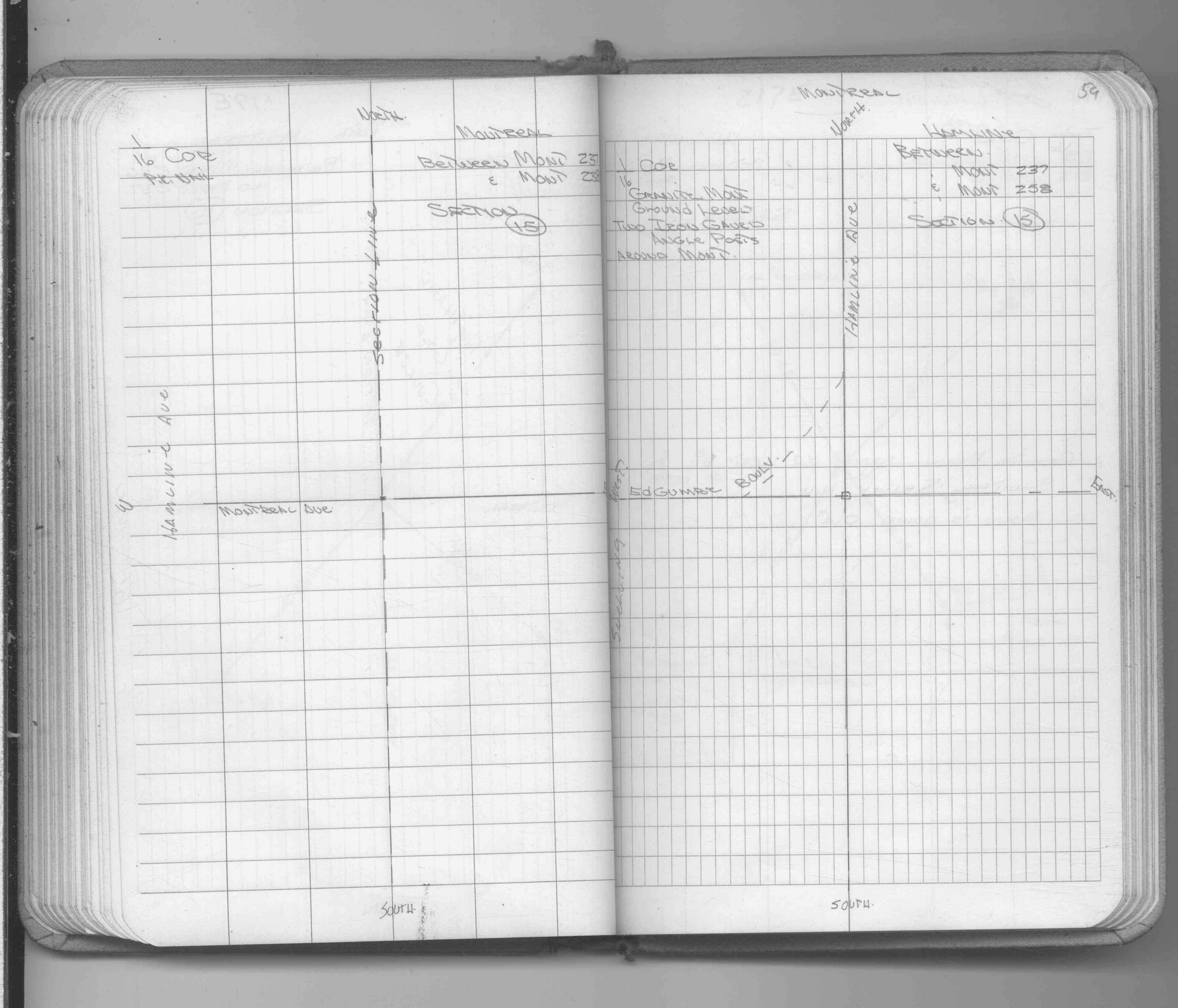
| 4/19/1990 | Located GM by traverse (single stub). See FB 1673A p.73 |
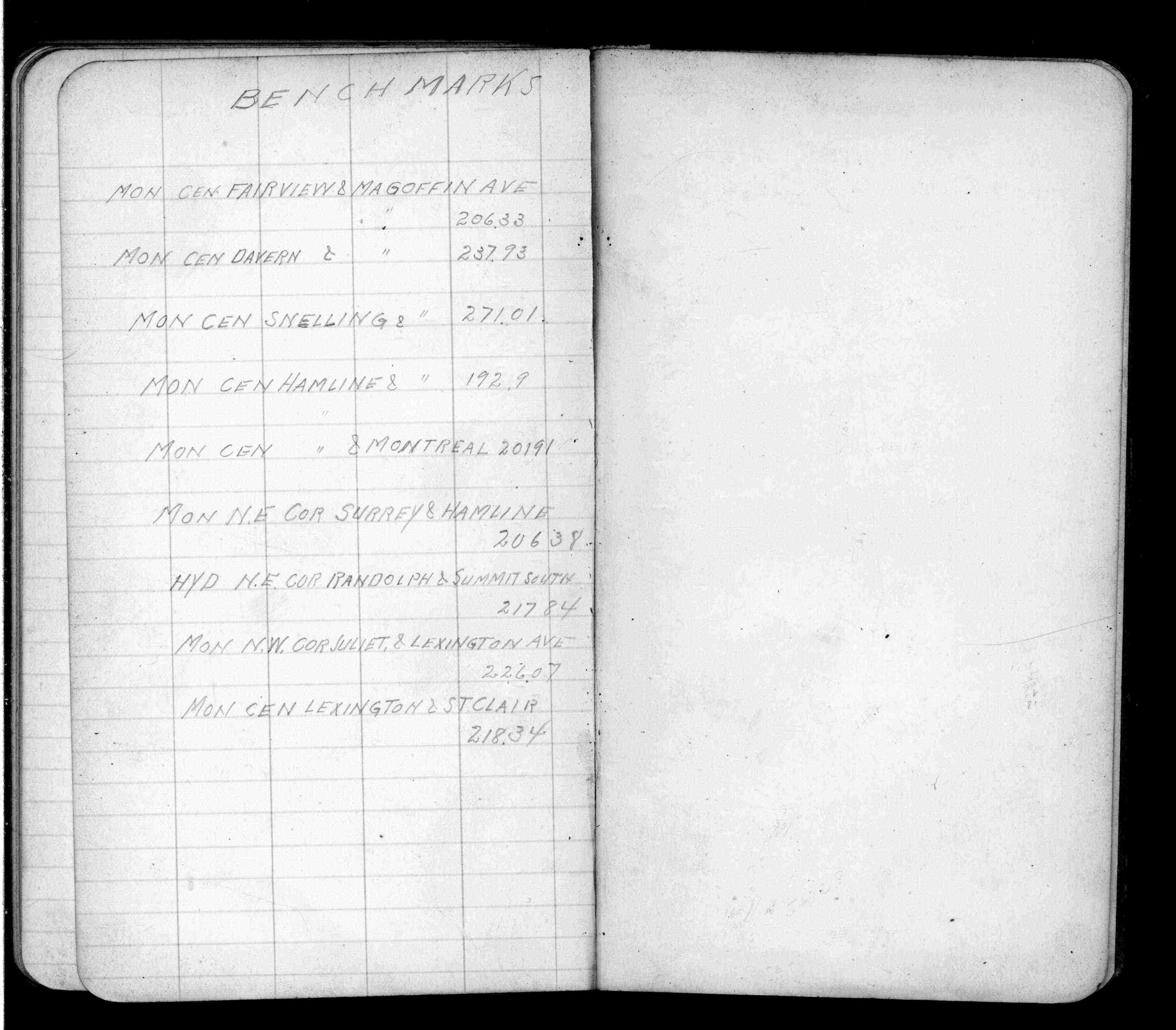
| 1/1/1912 | Recorded elevation of 192.9 on the monument. See FB 675 p.79 |
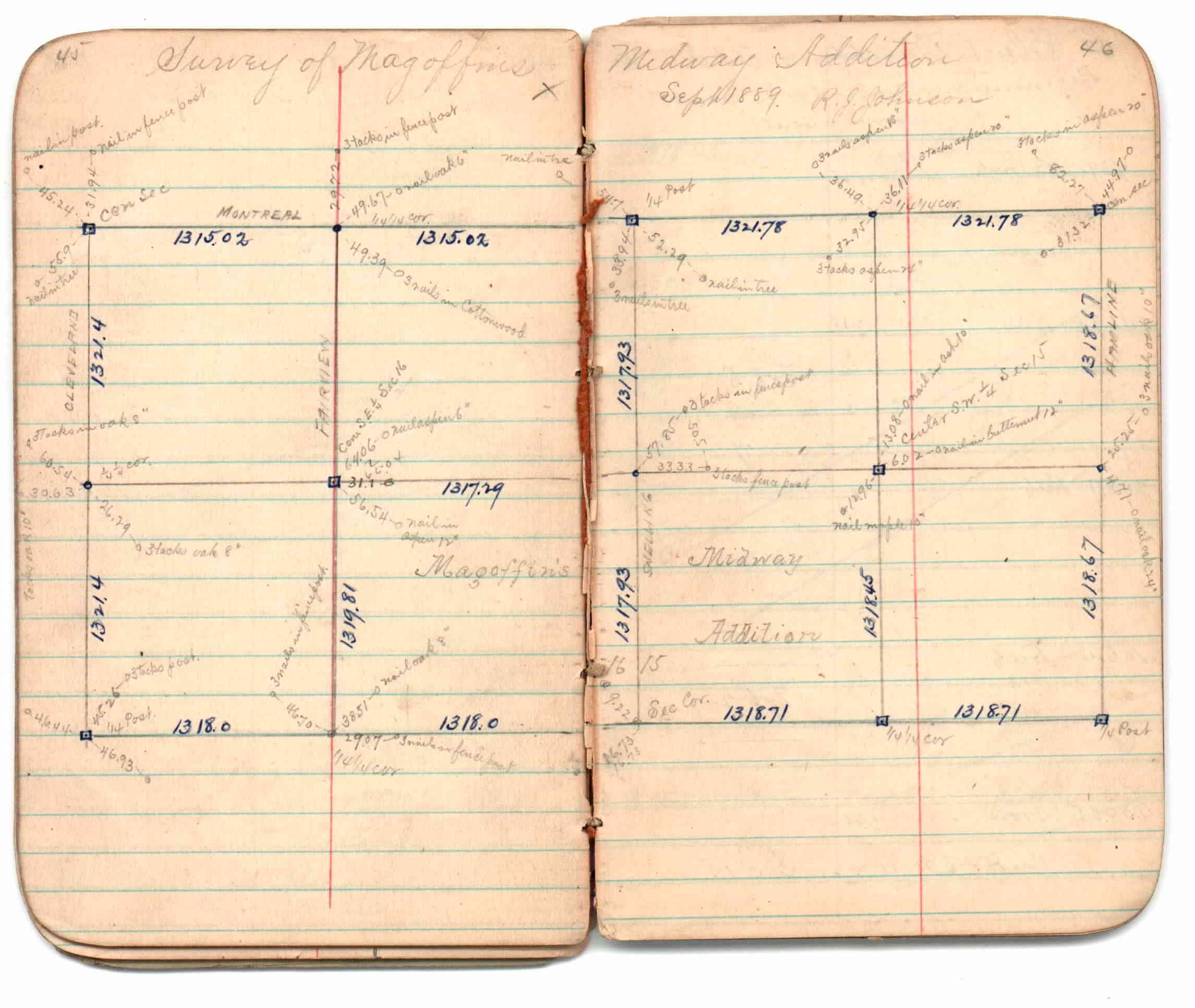
| 9/1/1889 | (Unknown date Sep __, 1889 ) Survey of Magoffins Midway Addition by R J Johnson. See JBI 01 p.45-46 |
| 9/1/1889 | (Unknown date Sep __, 1889 ) Monument set by R J Johnson. See Old Index Book, Entry 1708 |
| 1/1/1800 | (Unknown date ___ __, ____ ) Placed ties on GM. See FB 1689A p.59 |
Above is NOT an all inclusive history of this point. Please review all the links below.
| PLS NOTES | Field | Cross Section | Sewer | J.B. Irvine | Monument | River Survey |
|---|---|---|---|---|---|---|
| FB 0675p.79 | JBI 01 p.45-46 | |||||
| FB 1673Ap.73 | ||||||
| FB 1689Ap.59 |
| FILE | SURVEYOR | LIC. NO. | DATE SIGNED | DATE TIED |
|---|---|---|---|---|
| 1233-1709-A.pdf | Samuel D. Gibson | none | February 3, 2010 | February 1, 2010 |
| FILE | PHOTO DATE | COMMENTS |
|---|---|---|
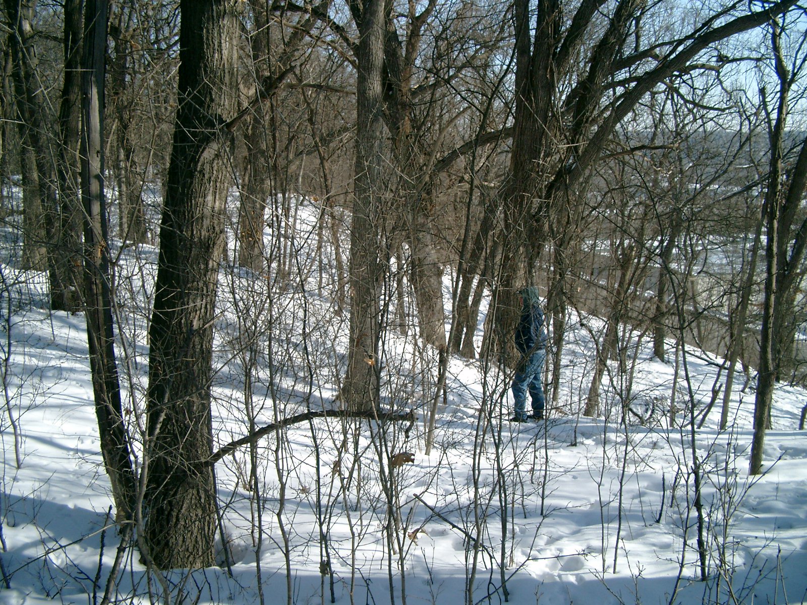
| 1233-1709-5.jpg | January 29, 2010 | Looking South (Self Storage in the background) |
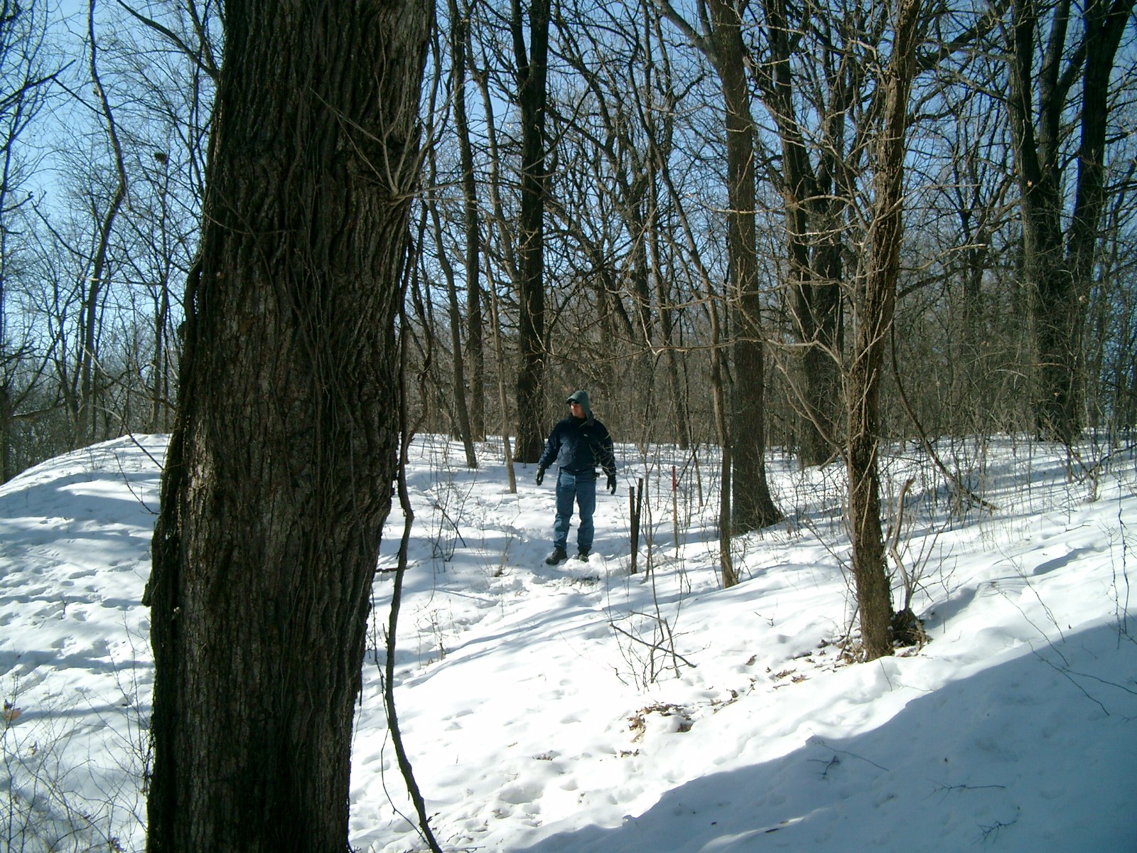
| 1233-1709-4.jpg | January 29, 2010 | Looking East (Seventh St. in the bachground) |
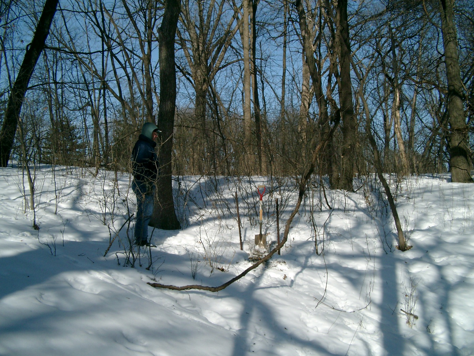
| 1233-1709-3.jpg | January 29, 2010 | Looking North |
| 1233-1709-2.jpg | January 29, 2010 | Close-up of the GM. |
| 1233-1709-1.jpg | January 29, 2010 | Looking West |