| NAD83 COORDINATES (1986 adj.): |
|---|
| X= 558479.541 Y= 141368.109 Z= 000.00 LSQ 12/06/1991 S FLT |
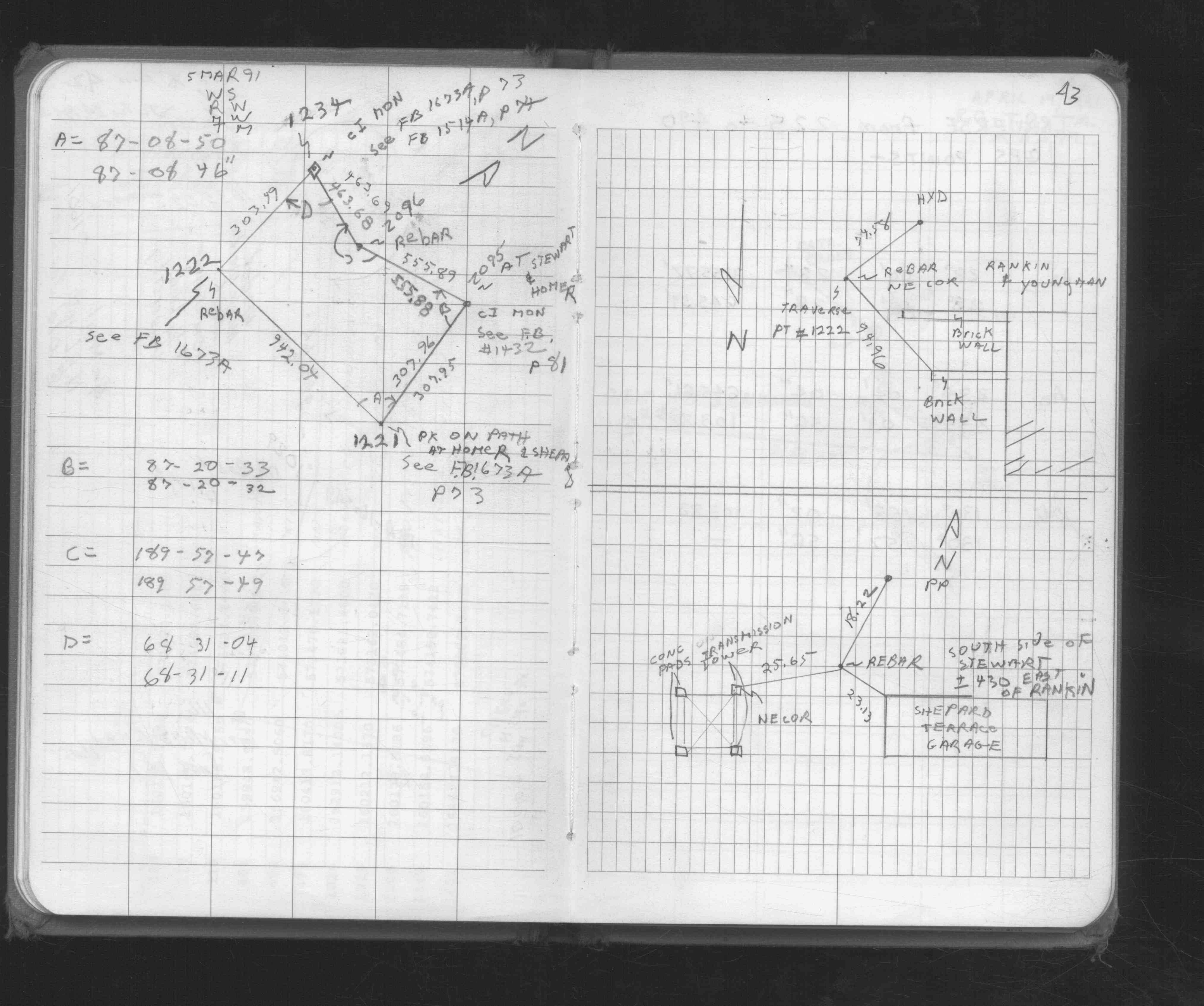
| 3/5/1991 | Traversed through CIM. See FB 1676D p.43 |
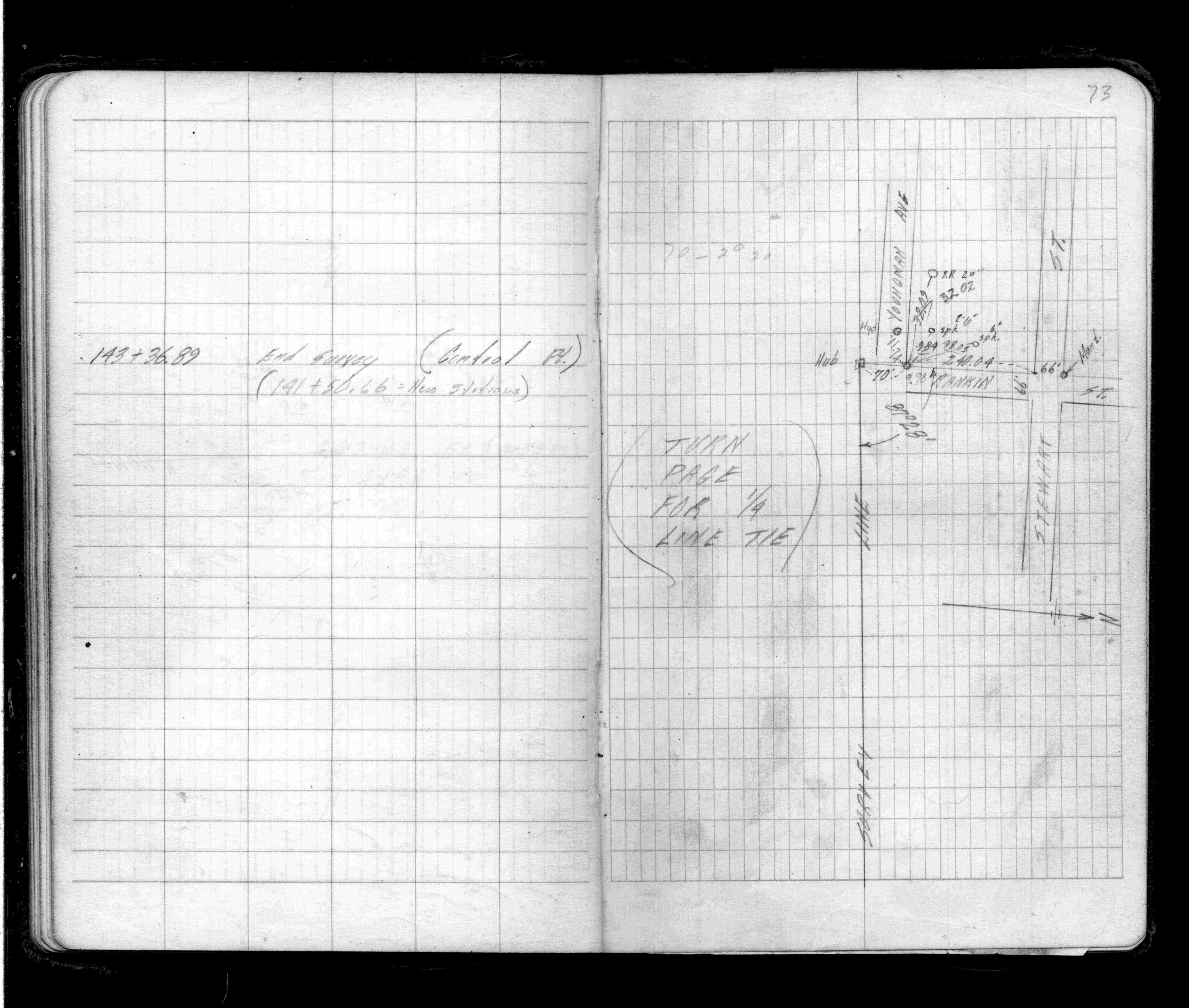
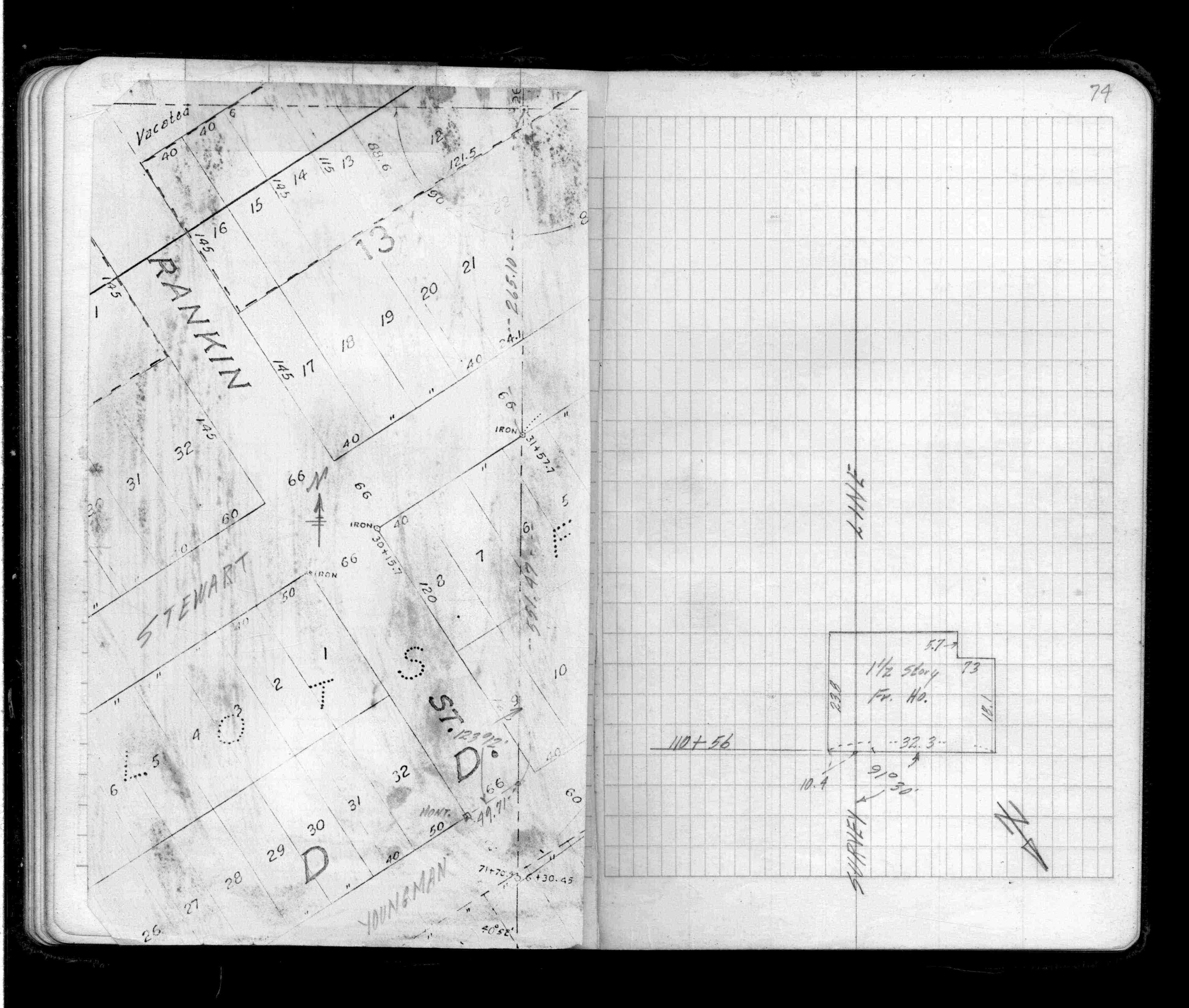
| 4/19/1990 | Located CIM by traverse (single stub). See FB 1673A p.73 & See FB 1514A p.74 |
Above is NOT an all inclusive history of this point. Please review all the links below.
| PLS NOTES | Field | Cross Section | Sewer | J.B. Irvine | Monument | River Survey |
|---|---|---|---|---|---|---|
| FB 1514Ap. 073 ,074 | CS 3315Ap.02 | |||||
| FB 1673Ap.73 | ||||||
| FB 1676Dp.43 |