| NAD83 COORDINATES (1986 adj.): |
|---|
| X= 560931.564 Y= 145475.133 Z= 000.00 LSQ 12/06/1991 S FLT |
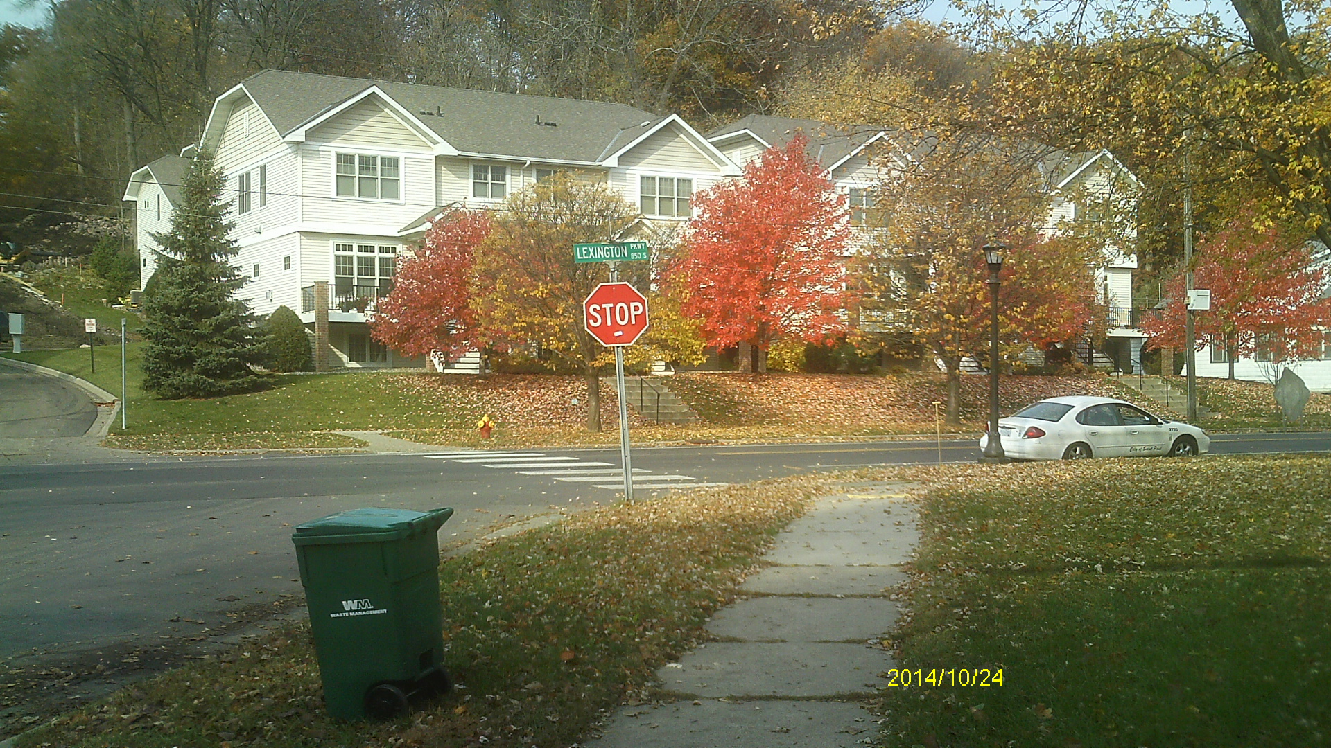
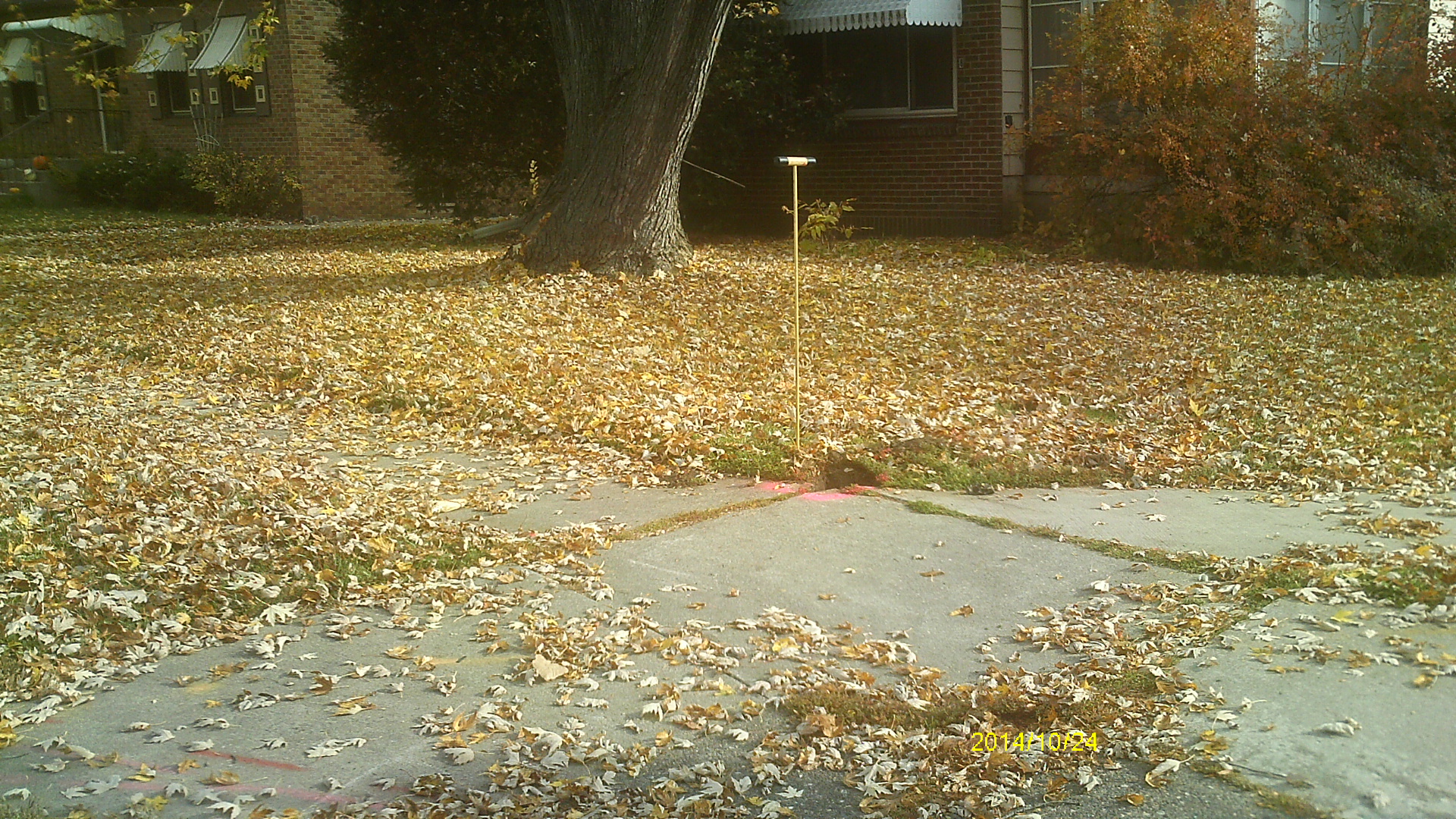
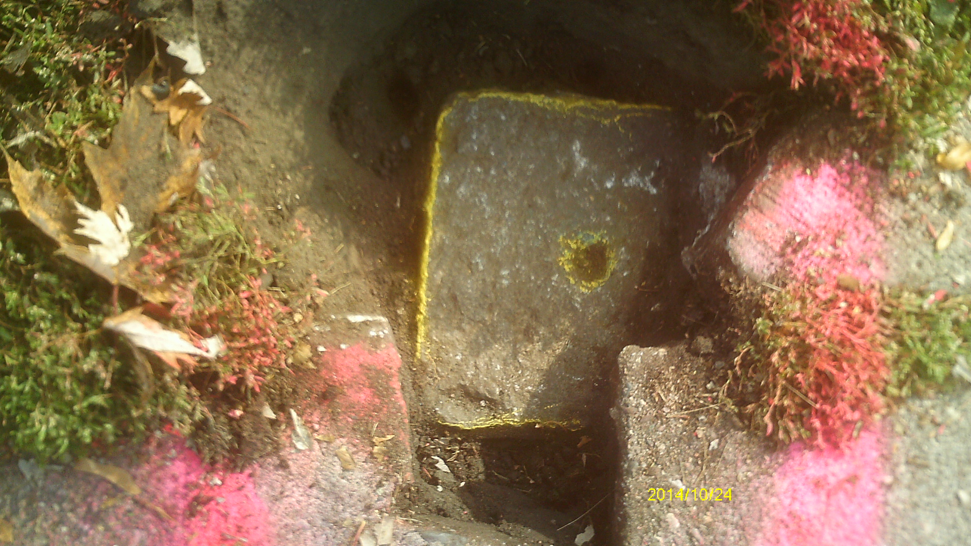
| 10/24/2014 | Found GM 0.3 ft below sidewalk grade. Photos taken and ties placed. |
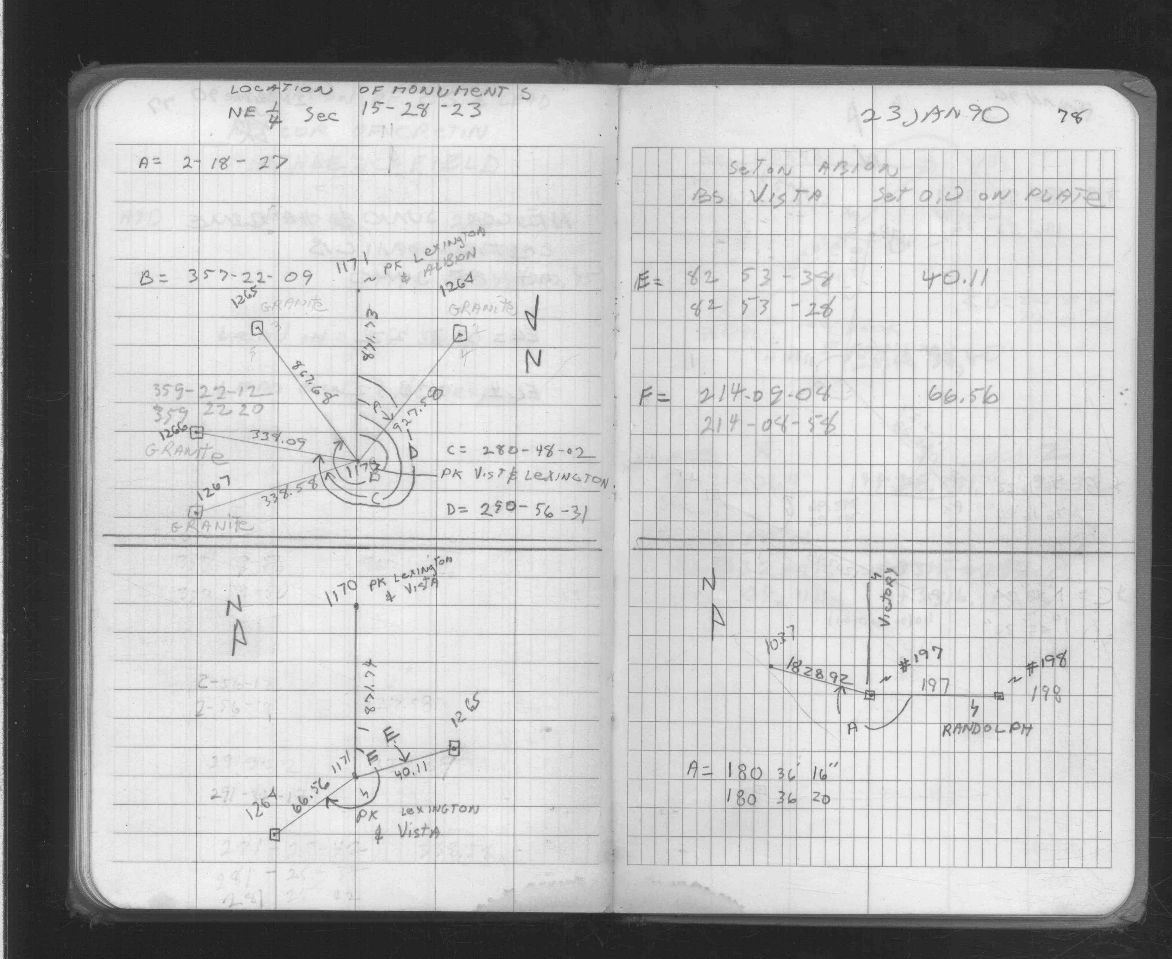
| 1/23/1990 | Recovered & located GM by traverse (single stub). See FB 1704 p.78 |
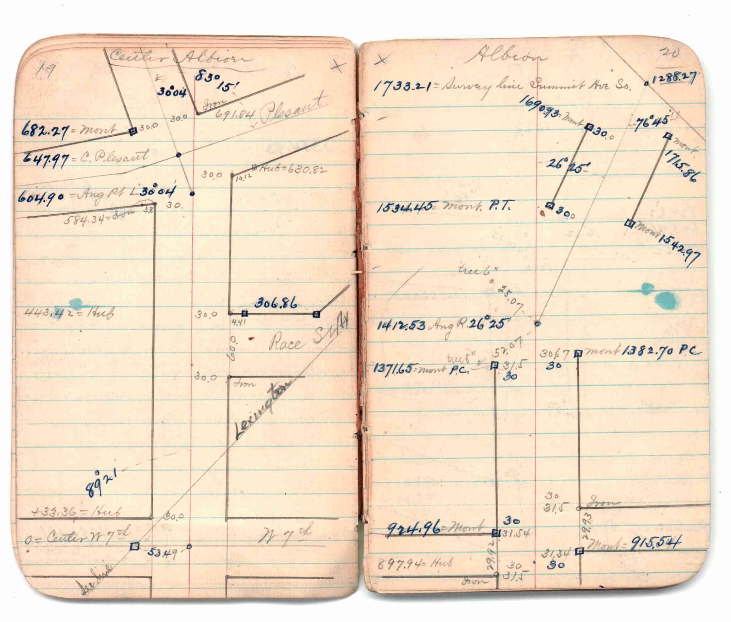
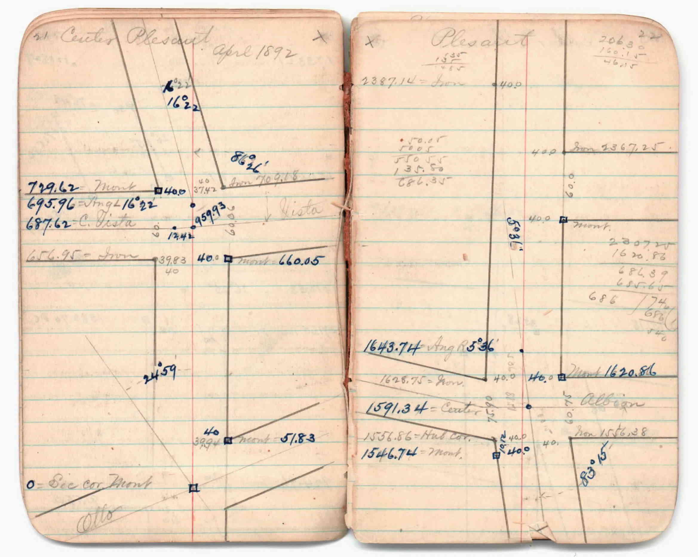
| 2/1/1888 | (Unknown date Feb __, 1888 ) See JBI 01 p.19-20,21-22 |
| 1/1/1885 | (Unknown date ___ __, 1885 ) Monument set by Gates A Johnson. |
Above is NOT an all inclusive history of this point. Please review all the links below.
| PLS NOTES | Field | Cross Section | Sewer | J.B. Irvine | Monument | River Survey |
|---|---|---|---|---|---|---|
| FB 1704p.78 | JBI 01 p.19-20 JBI 01 p.21-22 |
| FILE | SURVEYOR | LIC. NO. | DATE SIGNED | DATE TIED |
|---|---|---|---|---|
| 1265-0775-A.pdf | Samuel Gibson | 44880 | May 21, 2015 | October 24, 2014 |
| FILE | PHOTO DATE | COMMENTS |
|---|---|---|
| 1265-0775-6.jpg | October 24, 2014 | Looking northwest. |
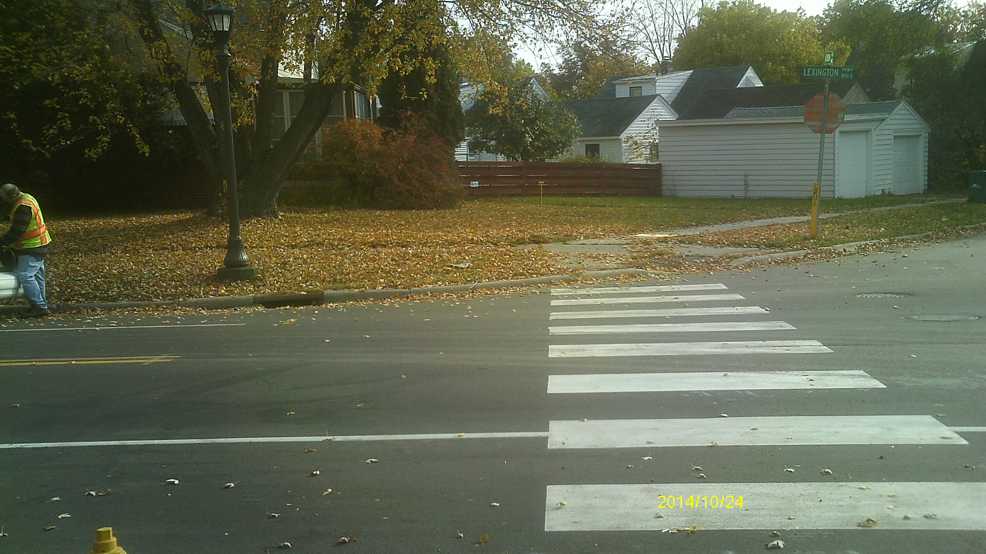
| 1265-0775-5.jpg | October 24, 2014 | Looking southwest along Lexington Pkwy. |
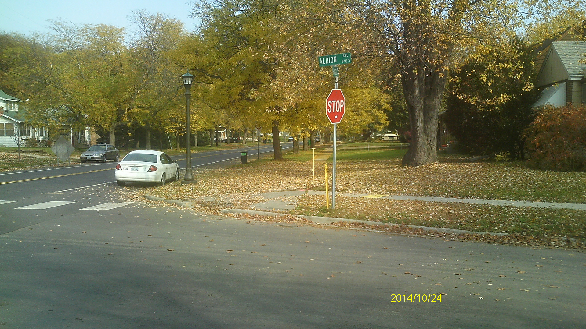
| 1265-0775-4.jpg | October 24, 2014 | Looking southeast. |
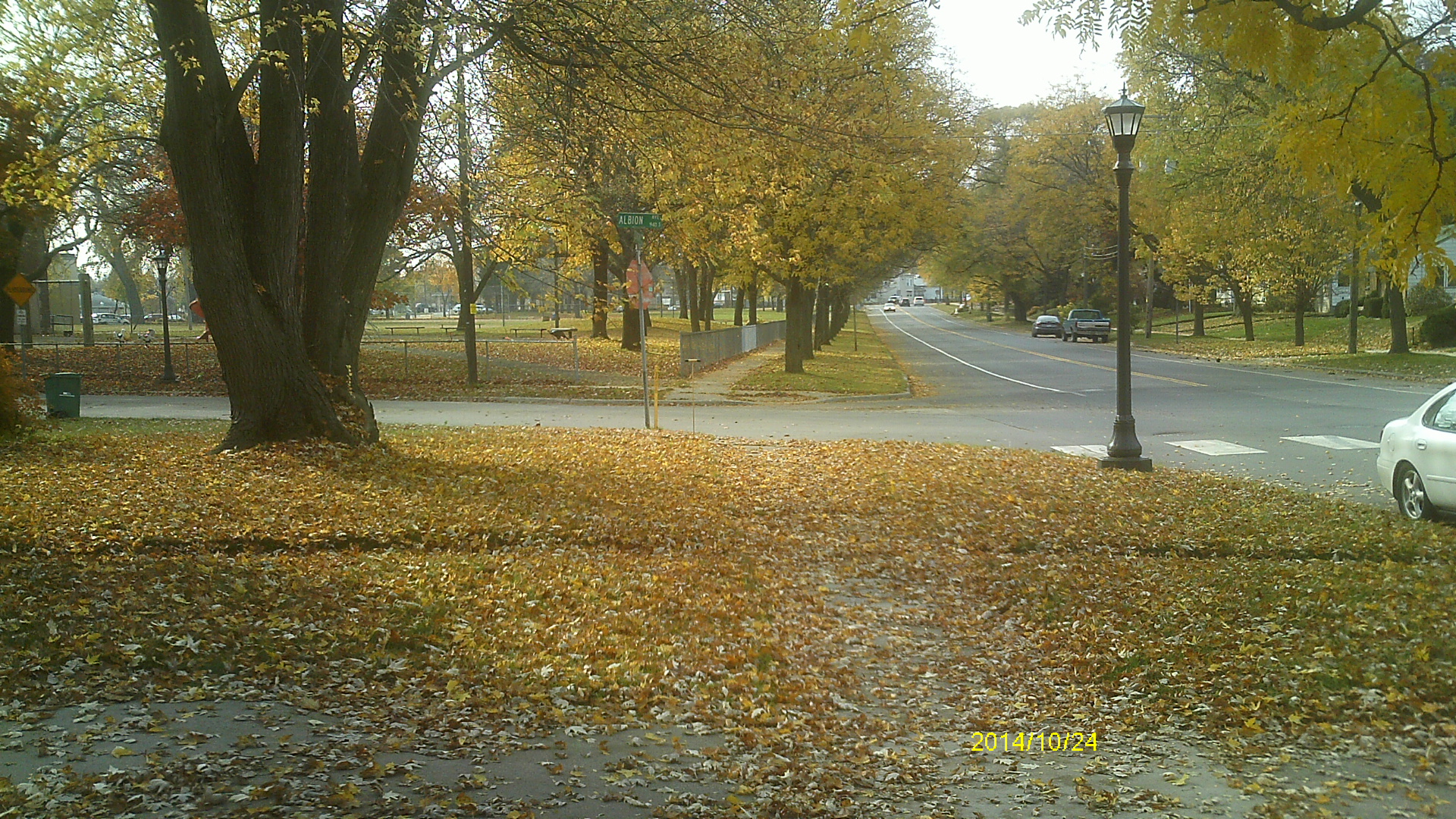
| 1265-0775-3.jpg | October 24, 2014 | Looking northeast along Lexington Pkwy. |
| 1265-0775-2.jpg | October 24, 2014 | Close up of monument location. |
| 1265-0775-1.jpg | October 24, 2014 | Close up of monument. |