| NAD83 COORDINATES (1986 adj.): |
|---|
| X= 554698.932 Y= 157428.274 Z= 000.00 LSQ 12/06/1991 S FLT |
| 11/15/2011 | Fd CIM at street grade. Photos taken. |
| 6/11/2008 | Photos taken. |
| 8/16/1993 | GM replaced with CIM during Marshall Ave paving project. |
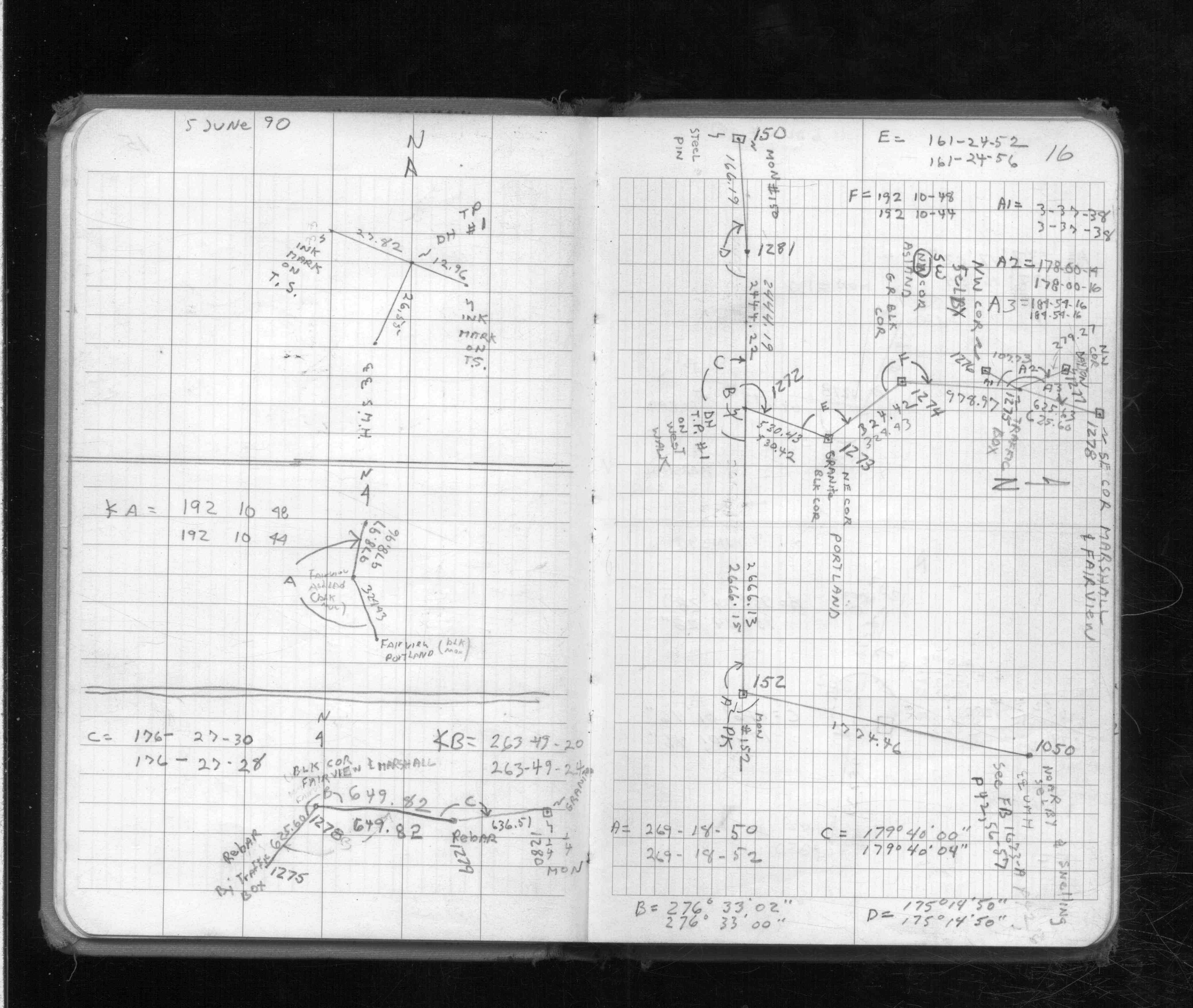
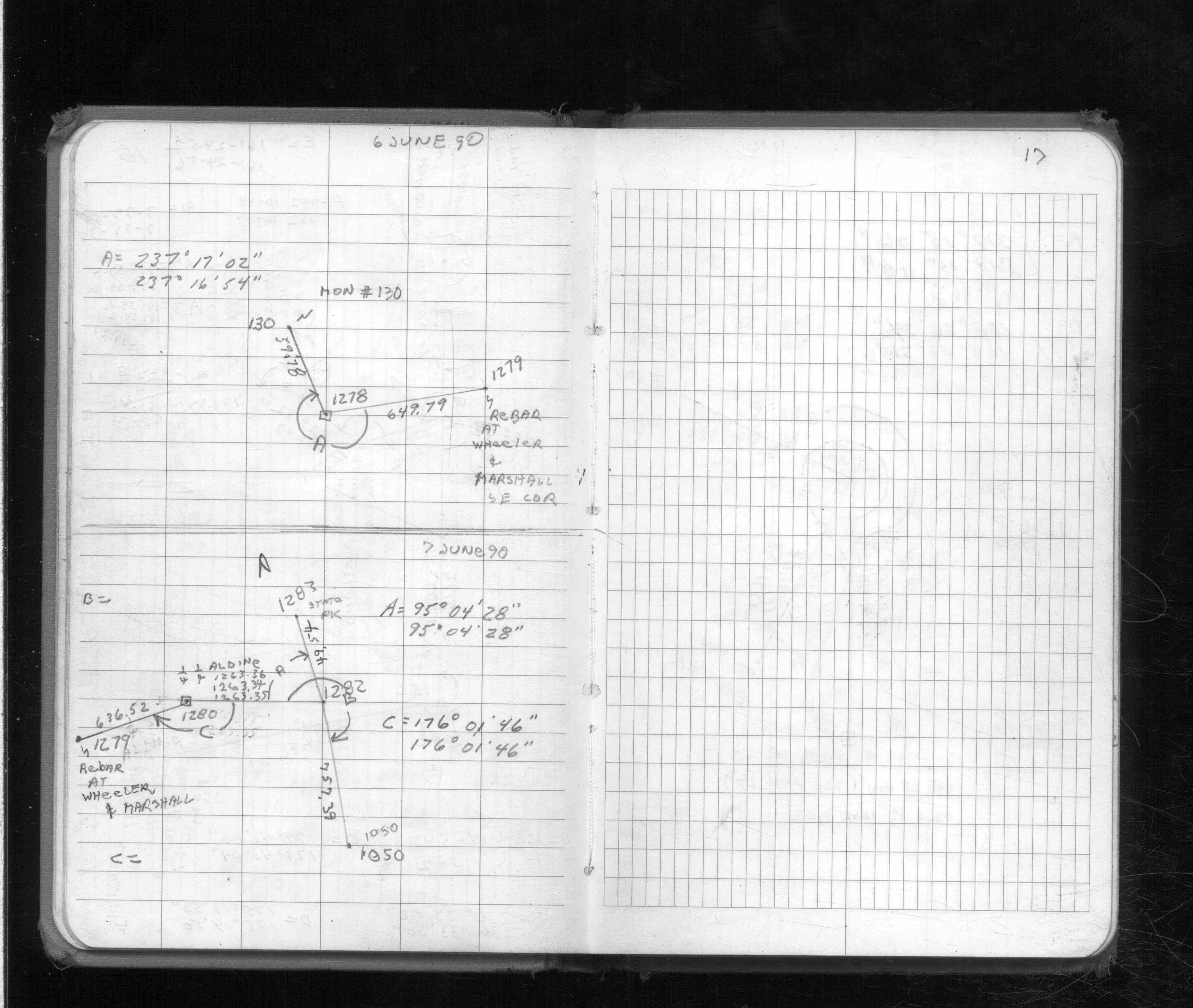
| 6/6/1990 | Located by traverse through. See FB 1713 p.16,17 |
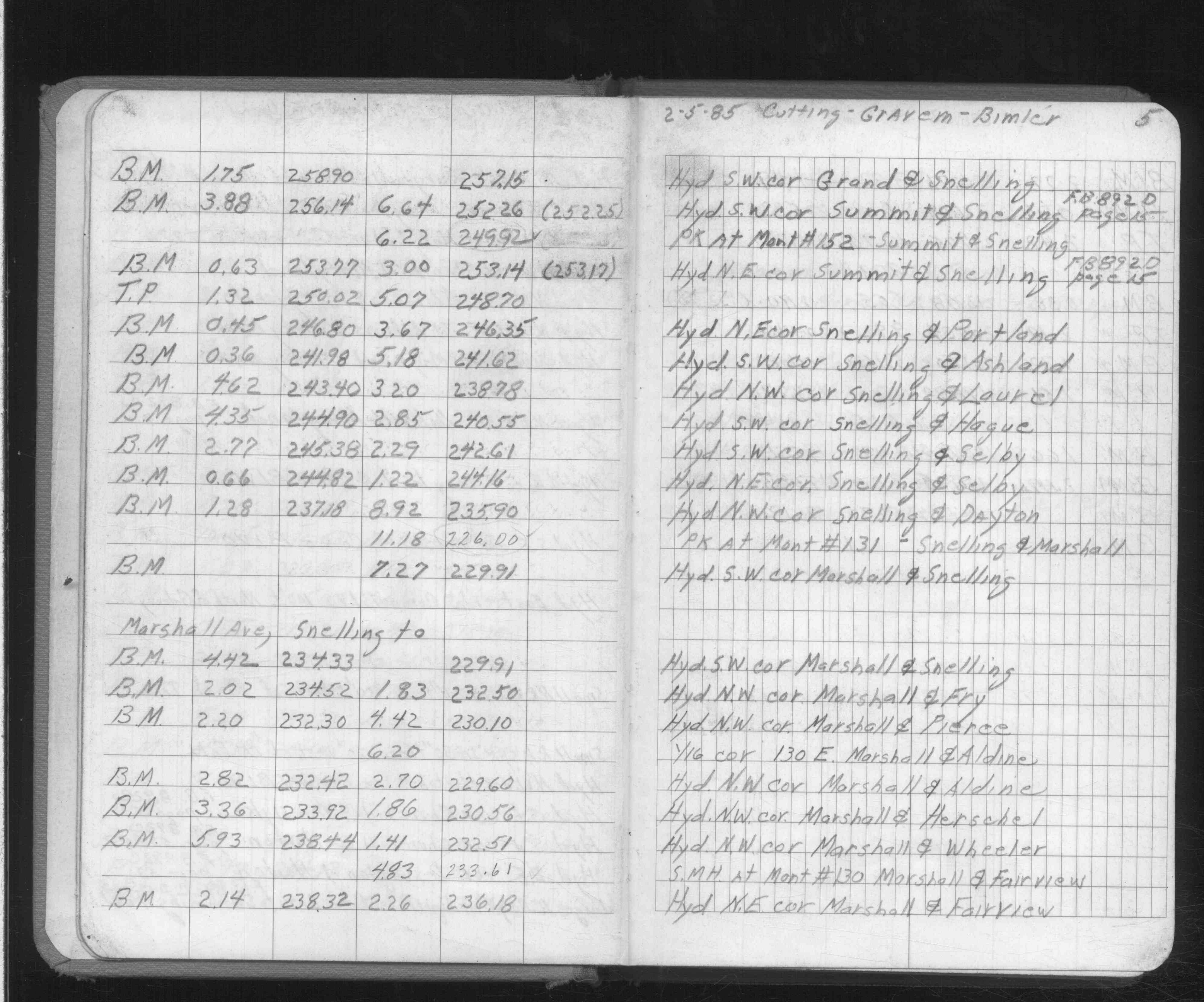
| 2/1/1985 | (Unknown date Feb __, 1985 ) Elev 226.10 ft on ?. See FB 892F p.5 |
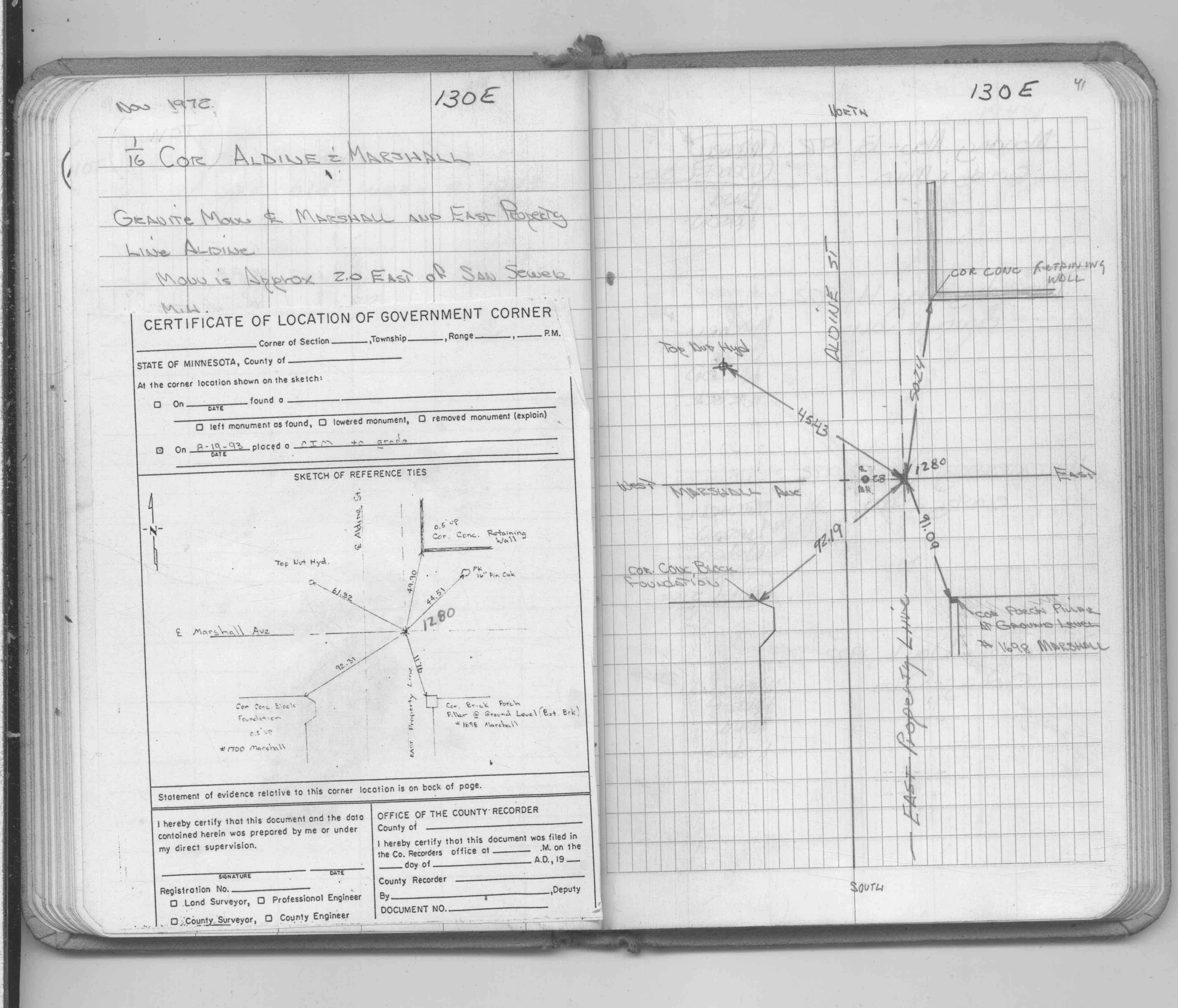
| 11/1/1972 | (Unknown date Nov __, 1972 ) Fd GM on EPL of Aldine 2 ft east of Sanitary MH, placed ties. See FB 1689A p.41 |
| 11/1/1972 | (Unknown date Nov __, 1972 ) Fd GM on EPL of Aldine 2 ft east of Sanitary MH, placed ties. See CofL 1280-1041-A, copied from FB 1689A p.41 |
| 8/1/1887 | (Unknown date Aug __, 1887 ) Monument set by J H Armstrong (Same as pt 0601) |
Above is NOT an all inclusive history of this point. Please review all the links below.
| PLS NOTES | Field | Cross Section | Sewer | J.B. Irvine | Monument | River Survey |
|---|---|---|---|---|---|---|
| FB 0892Fp.05 | ||||||
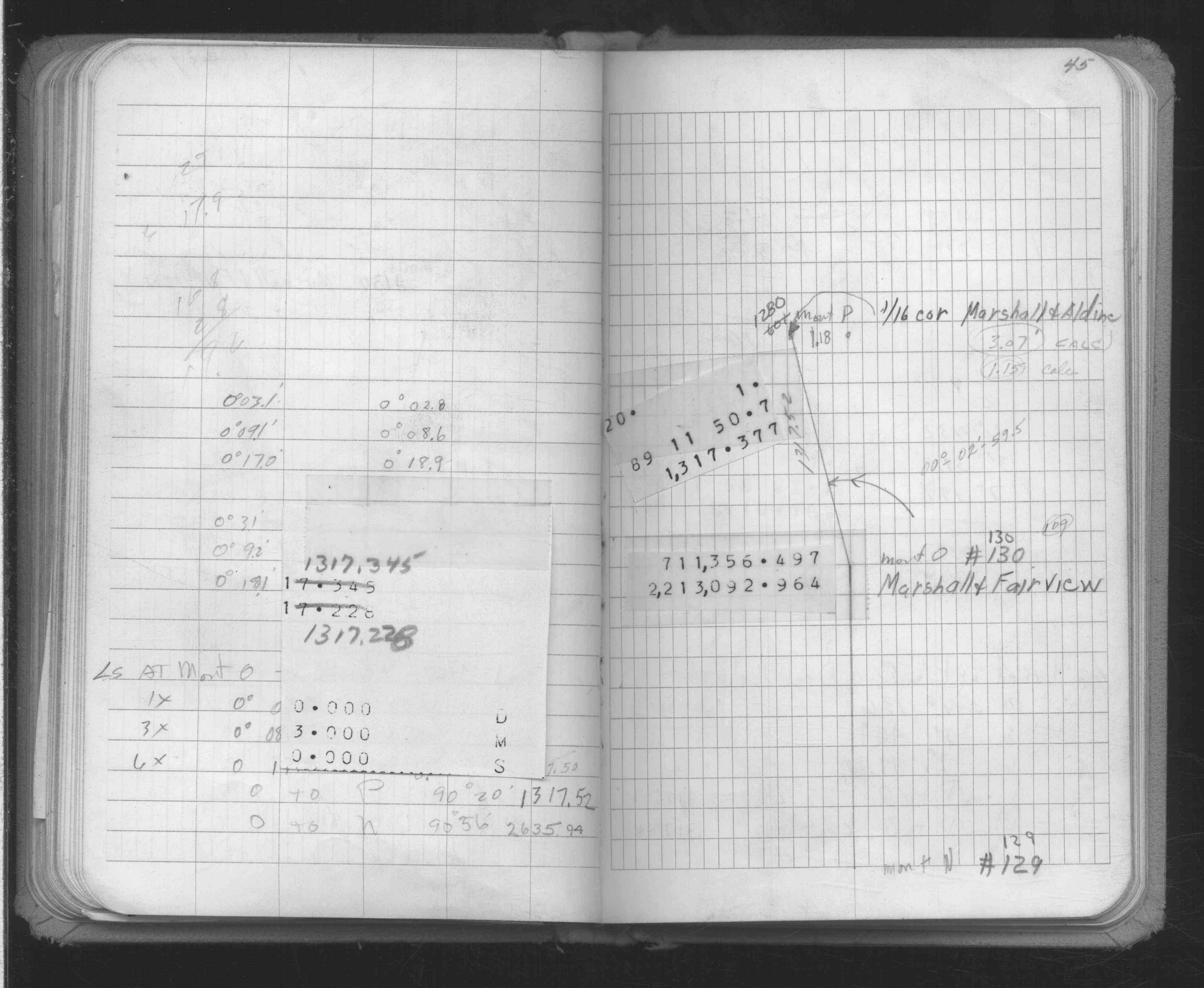
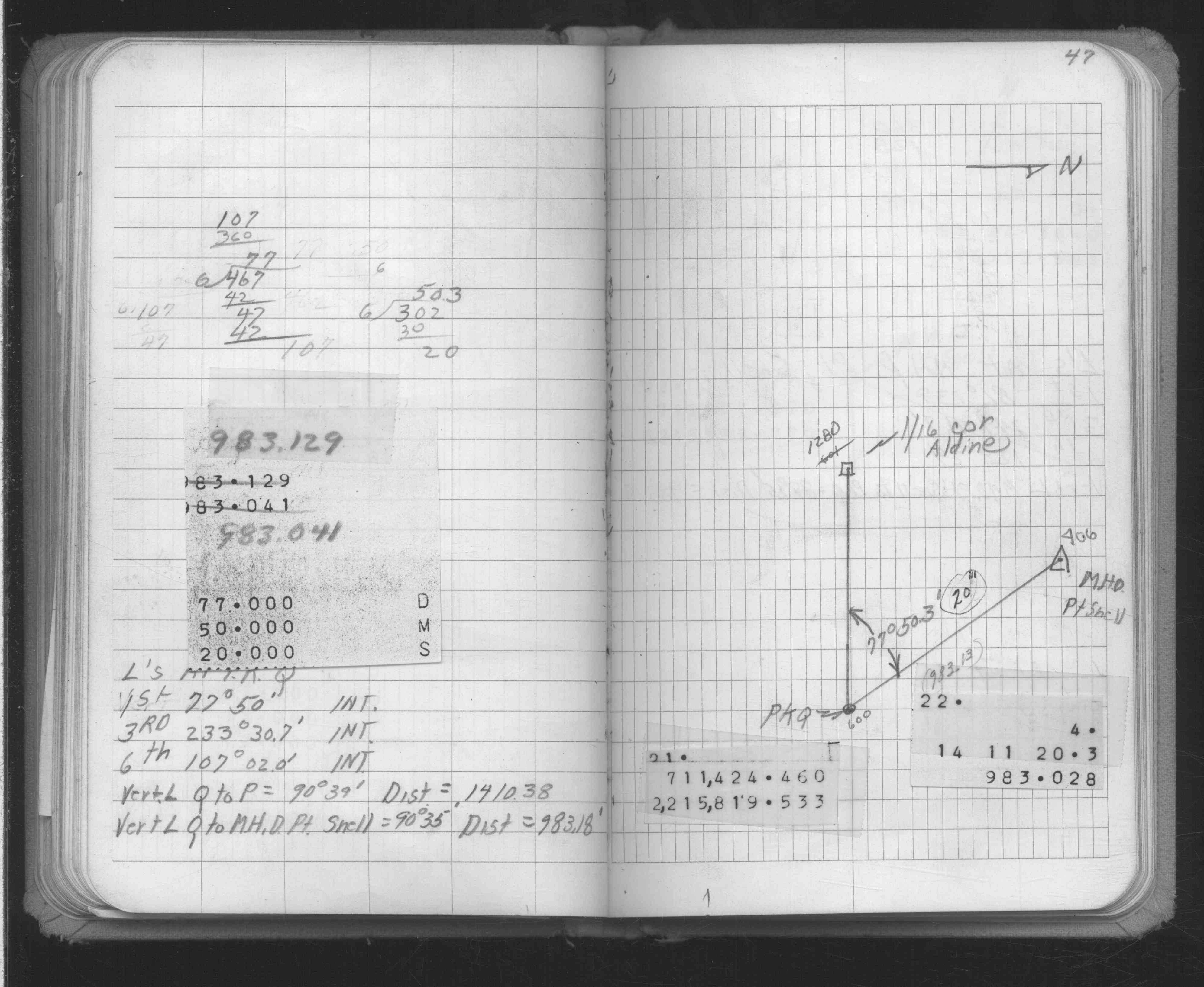
| FB 1634Ap. 45 ,47 | ||||||
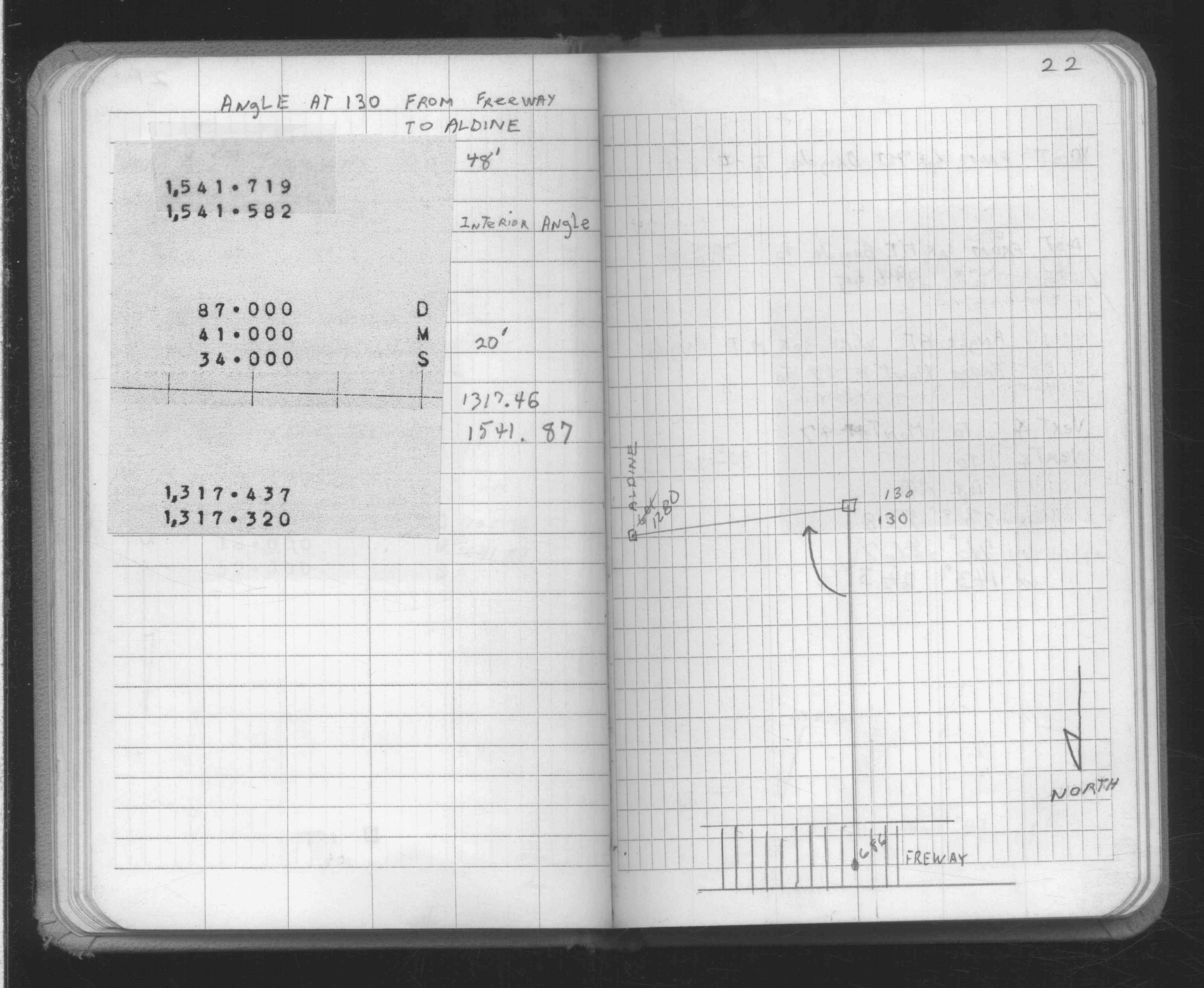
| FB 1634Bp.22 | ||||||
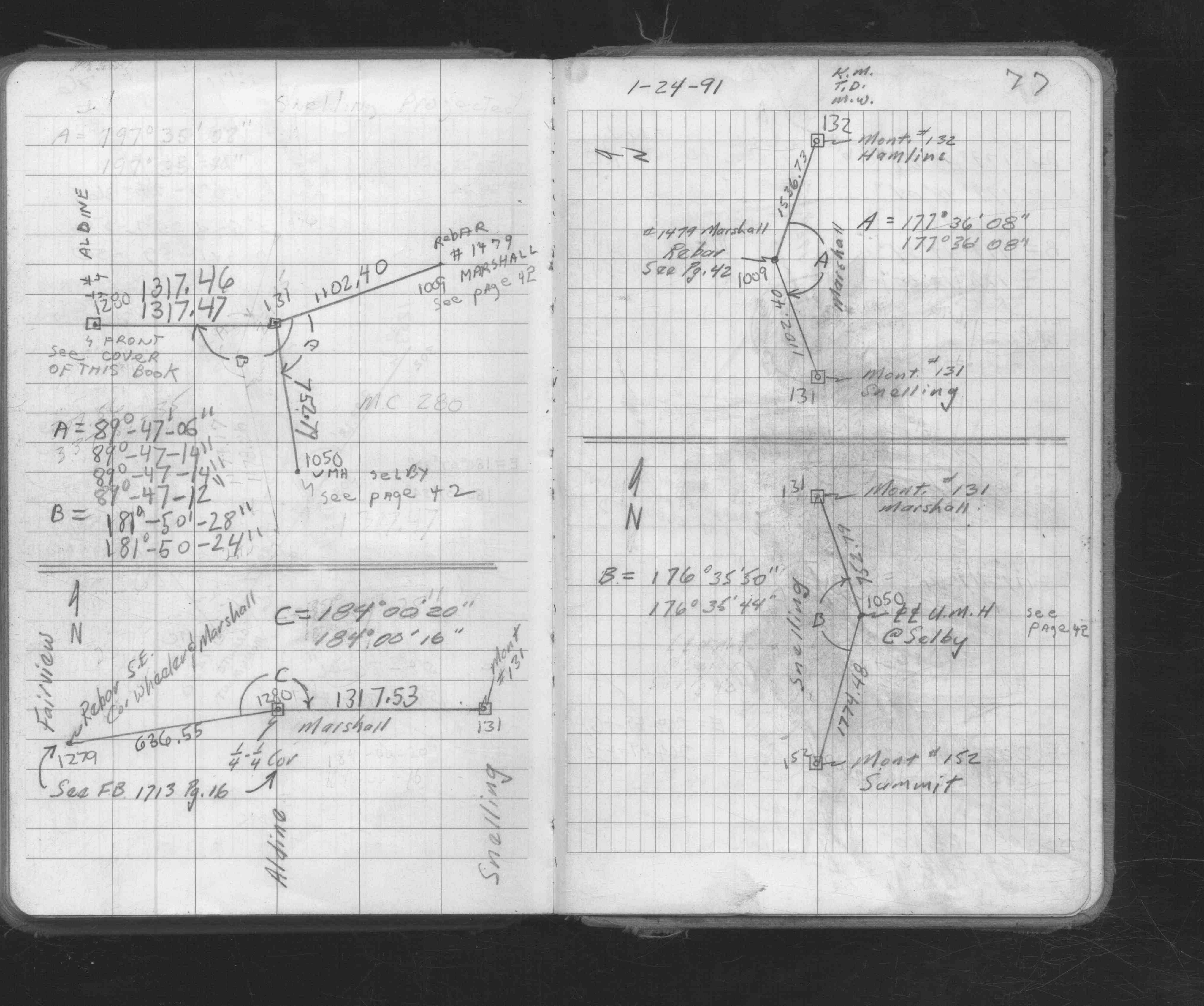
| FB 1673Ap.77 | ||||||
| FB 1689Ap.41 | ||||||
| FB 1713p. 16 ,17 |
| FILE | SURVEYOR | LIC. NO. | DATE SIGNED | DATE TIED |
|---|---|---|---|---|
| 1280-1041-A.tif | none | none | none | November 1, 1972 |
| FILE | PHOTO DATE | COMMENTS |
|---|---|---|
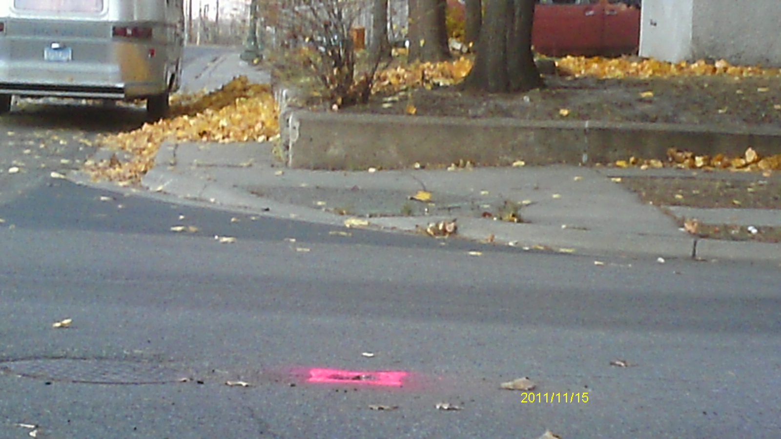
| 1280-1041-6.jpg | November 15, 2011 | Looking west along Marshall Ave. |
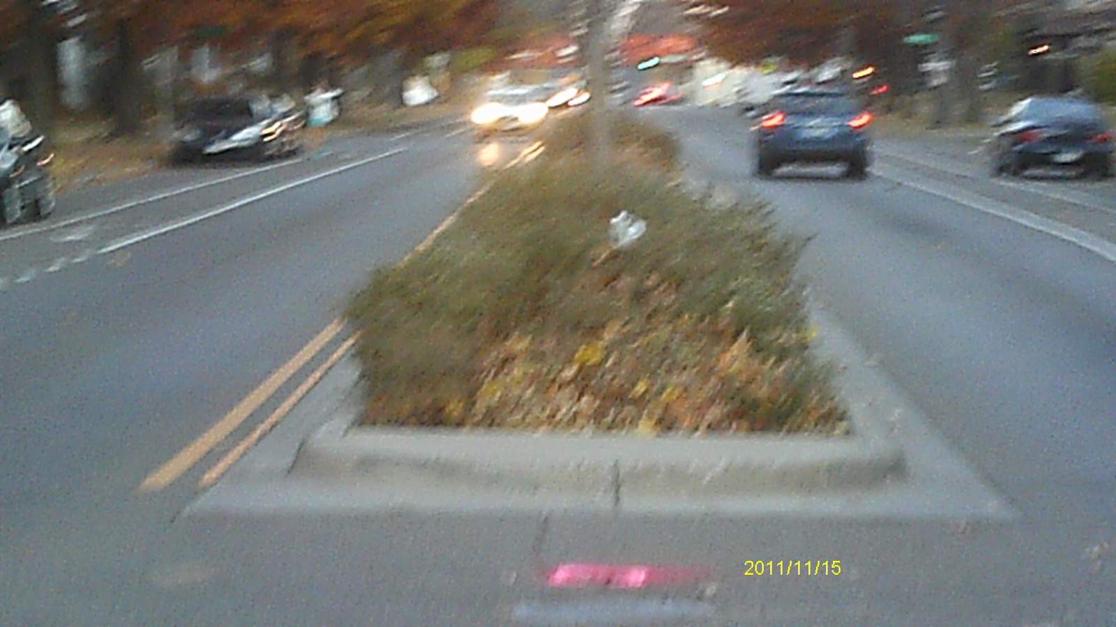
| 1280-1041-5.jpg | November 15, 2011 | Looking south along Aldine St. |
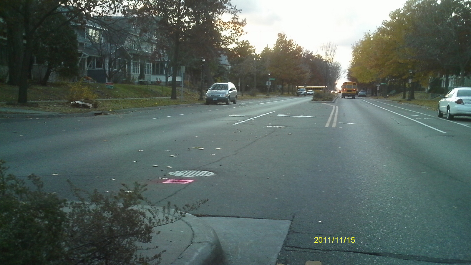
| 1280-1041-4.jpg | November 15, 2011 | Looking east along Marshall Ave. |
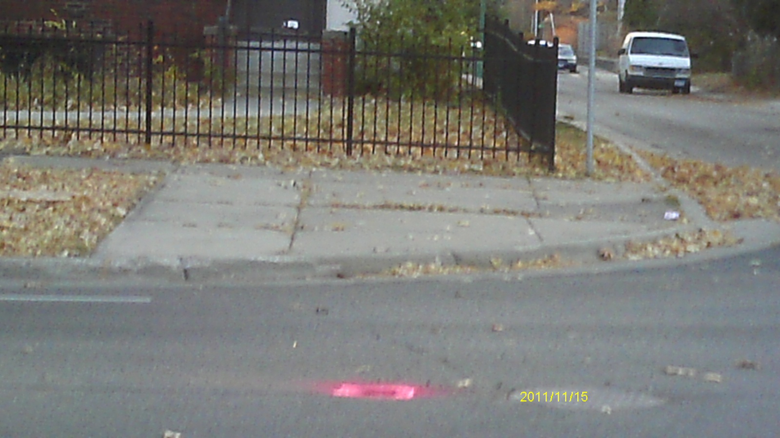
| 1280-1041-3.jpg | November 15, 2011 | Looking north along Aldine St. |
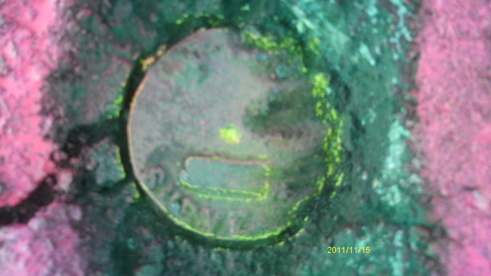
| 1280-1041-2.jpg | November 15, 2011 | Close up of monument. |
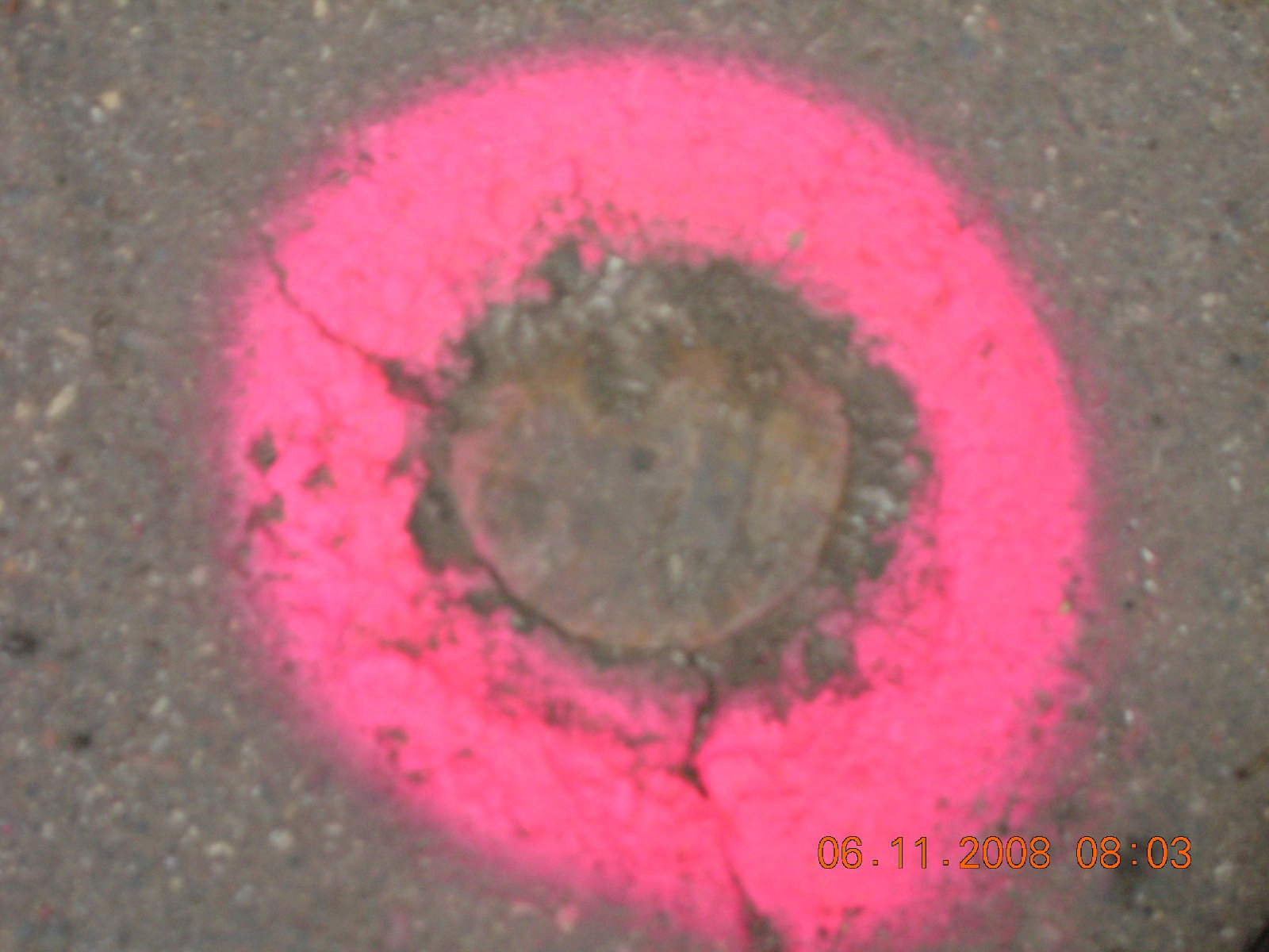
| 1280-1041-1.jpg | June 11, 2008 | Close-up of CIM at street grade. |