| NAD83 COORDINATES (1986 adj.): |
|---|
| X= 574412.986 Y= 157680.501 Z= 000.00 LSQ 11/20/1992 FLT |
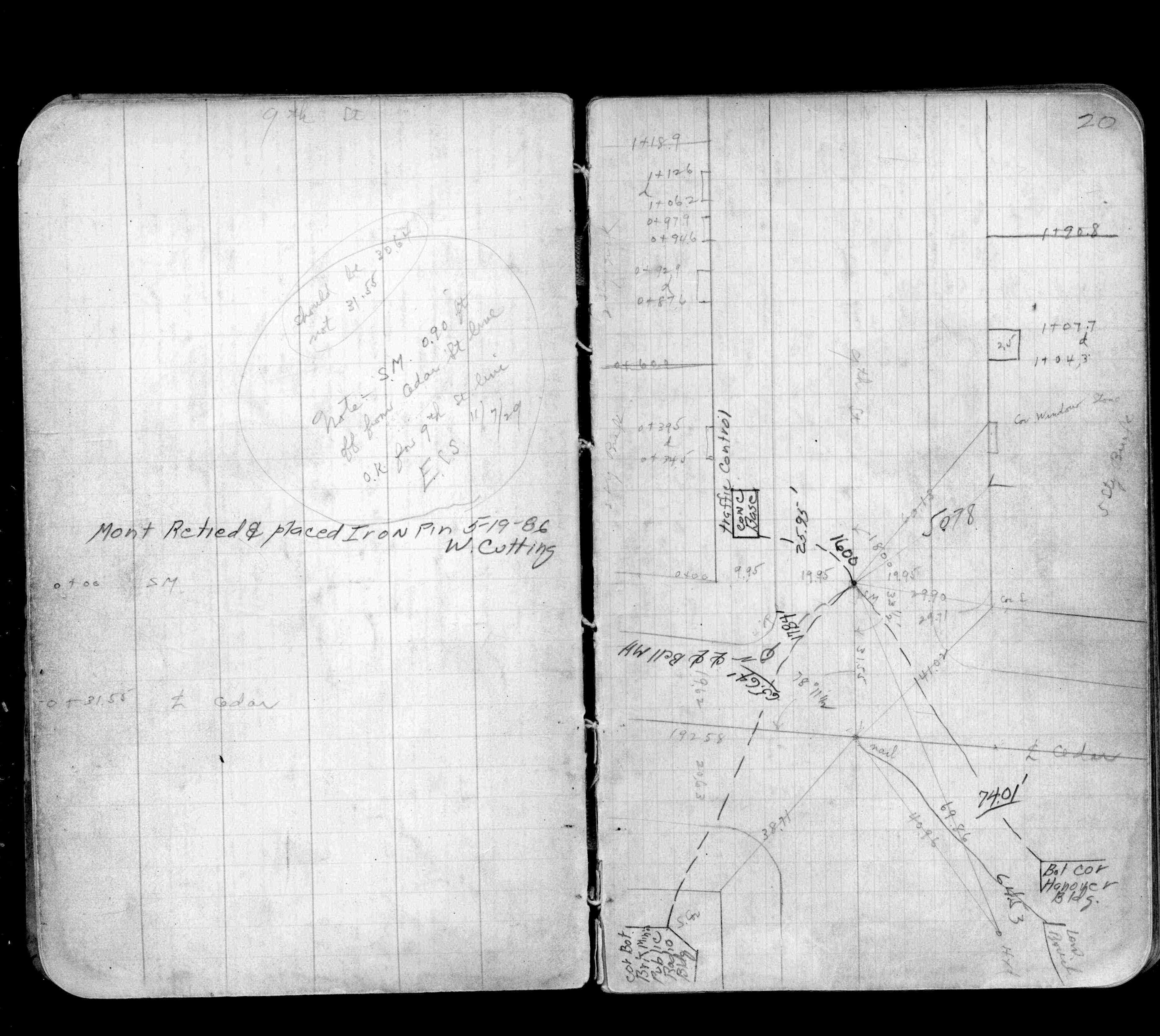
| 5/19/1986 | Monument tied and placed iron pin. See FB 1255 p.20 |
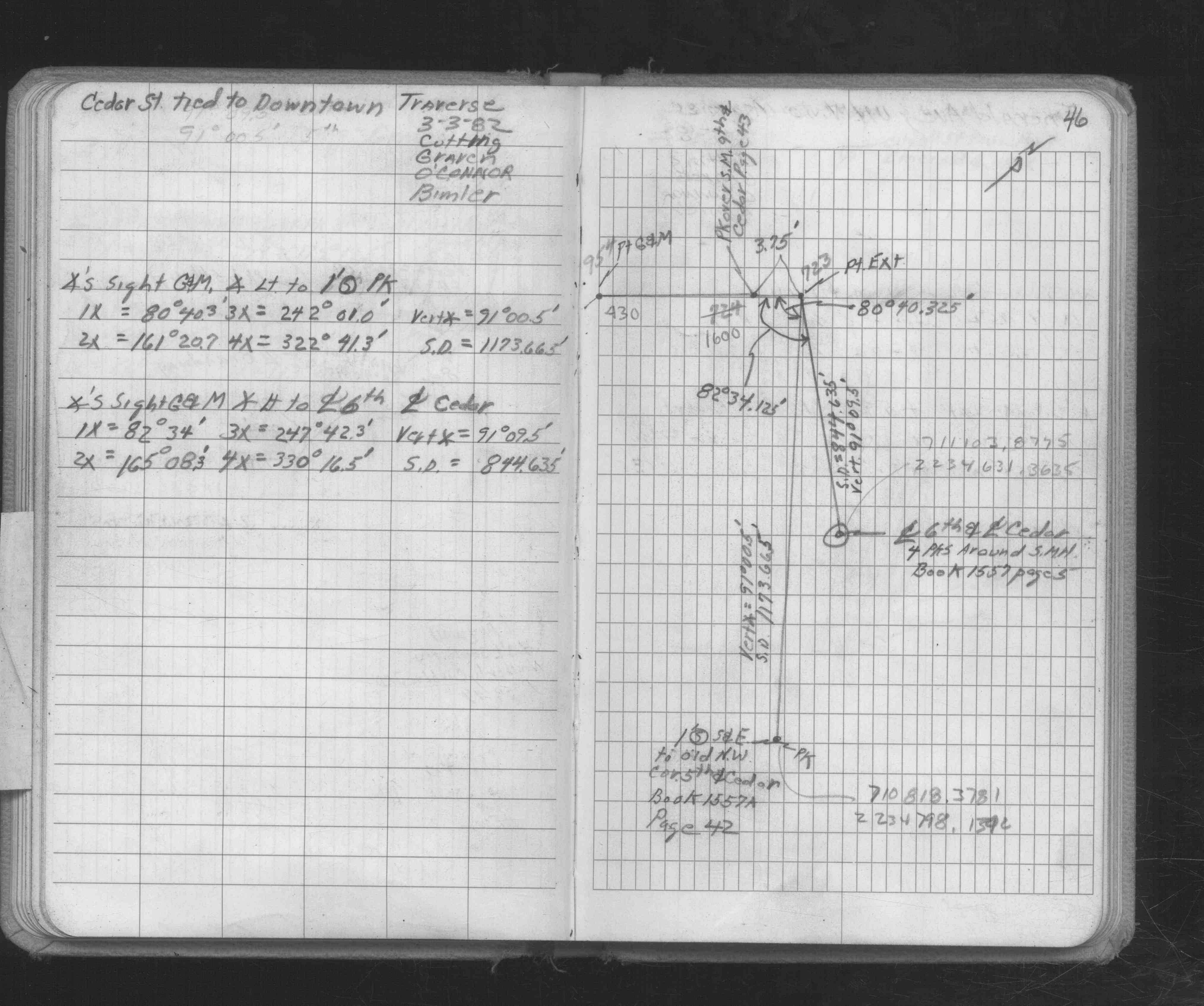
| 3/3/1982 | Fd pk nail over SM. See FB 1686 p.46 |
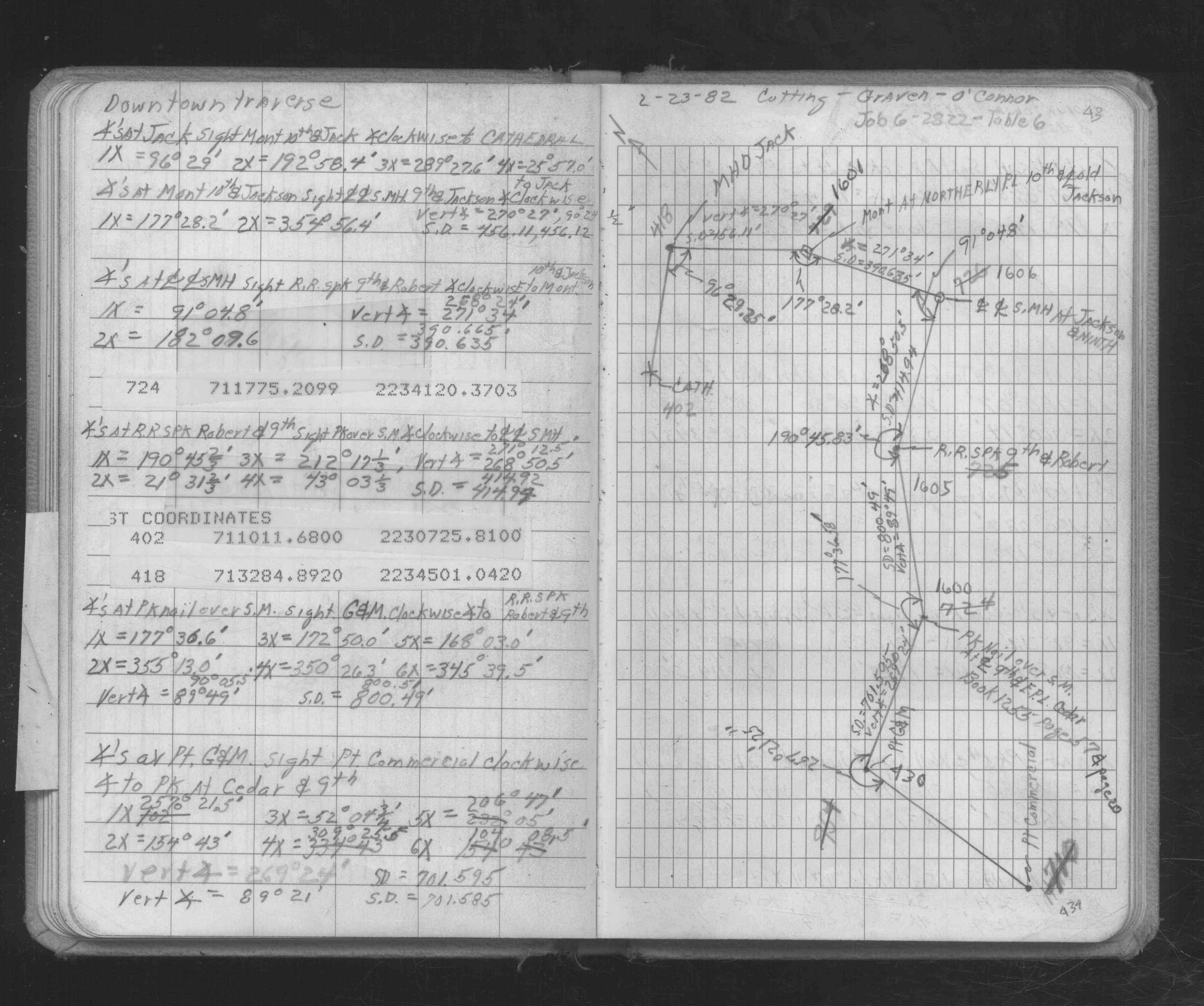
| 2/23/1982 | Traversed through pk nail over SM. See FB 1686 p.43 |
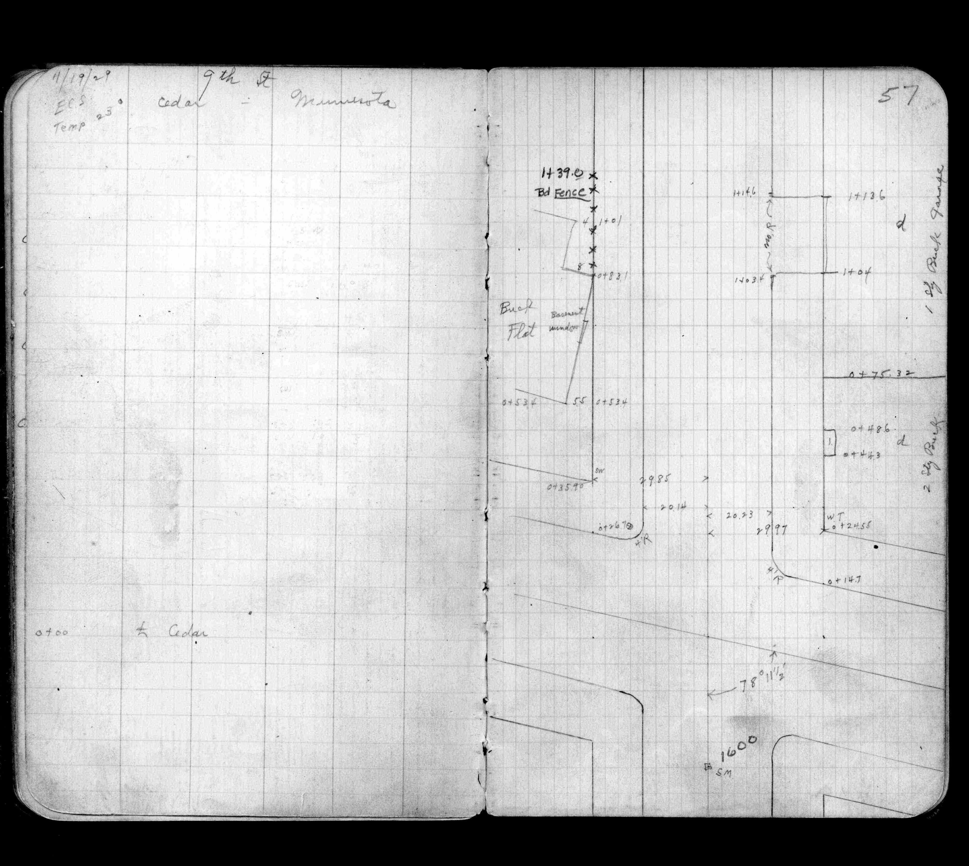
| 11/19/1929 | SM in place. See FB 1255 p.57 |
| 11/7/1929 | SM 0.90 ft off from Cedar St line, Ok for 9th St line. See FB 1255 p.20 |
Above is NOT an all inclusive history of this point. Please review all the links below.
| PLS NOTES | Field | Cross Section | Sewer | J.B. Irvine | Monument | River Survey |
|---|---|---|---|---|---|---|
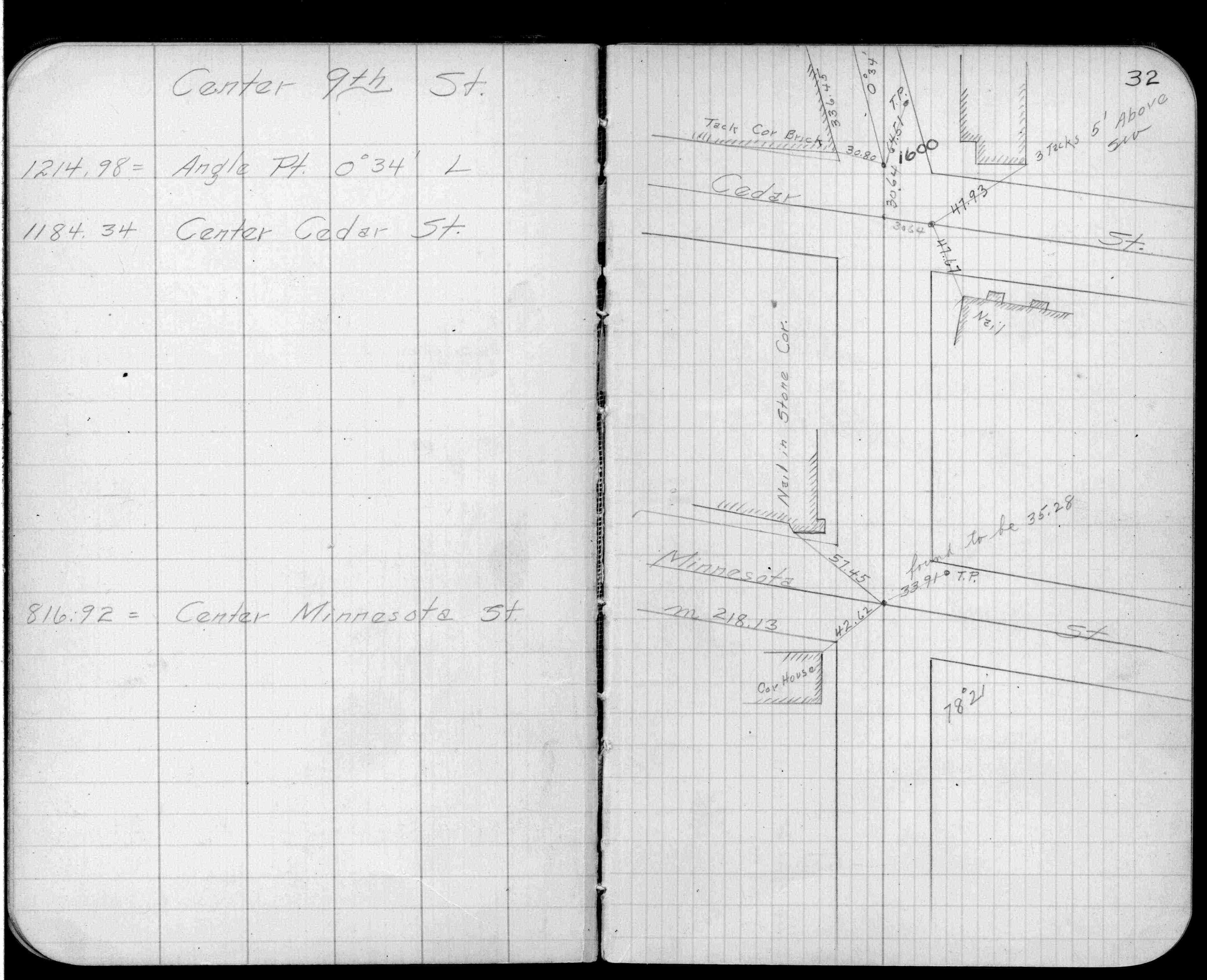
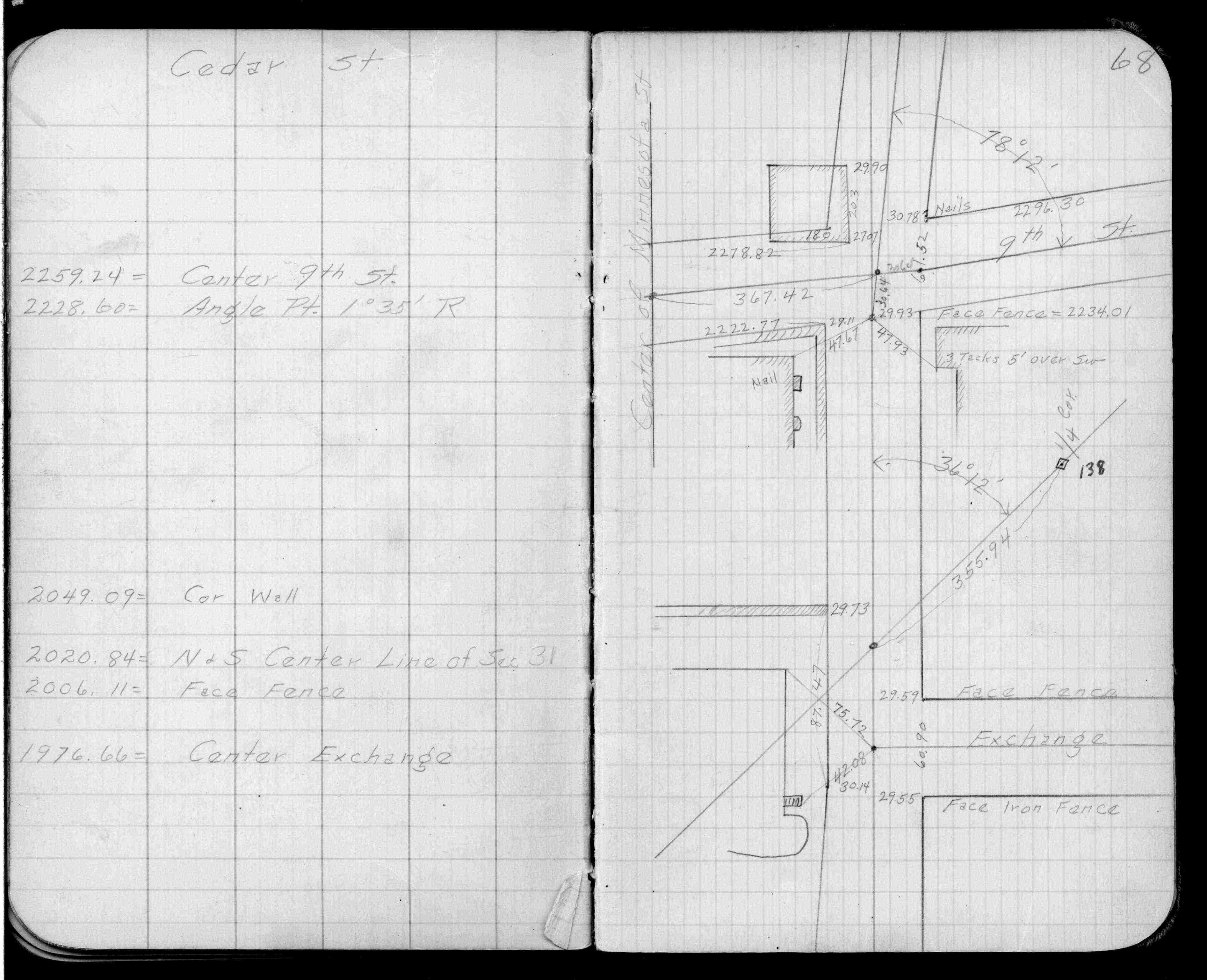
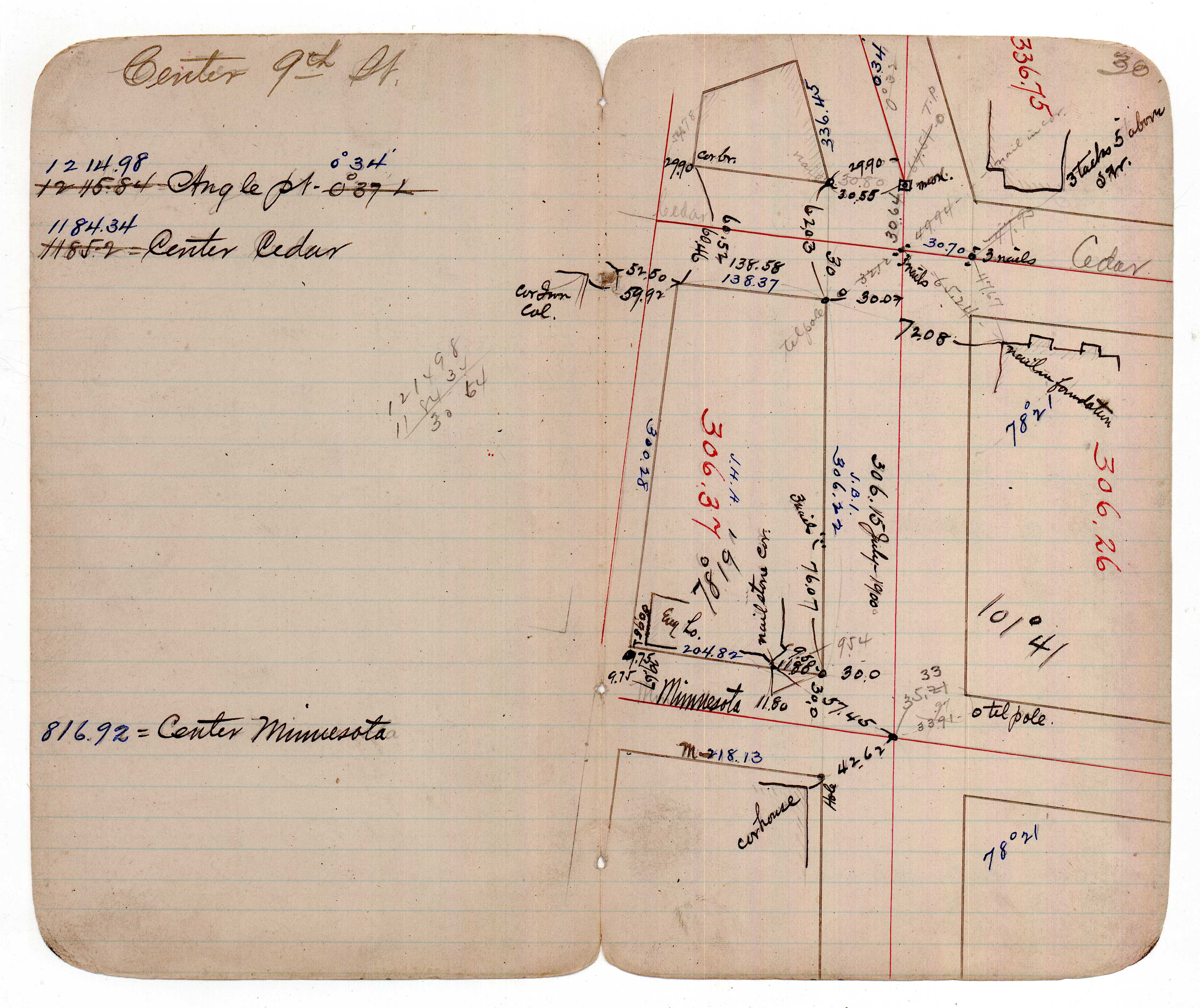
| FB 0287p. 32 ,68 | JBI 11 p.30 | |||||
| FB 1255p.20 | ||||||
| FB 1255p.20 | ||||||
| FB 1255p. 20 ,57 | ||||||
| FB 1255p.57 | ||||||
| FB 1686p.43 | ||||||
| FB 1686p. 43 ,46 | ||||||
| FB 1686p.46 |