| NAD83 COORDINATES (1986 adj.): |
|---|
| * X= 545455.056 Y= 159717.390 Z= 000.00 LSQ 12/06/1991 S FLT |
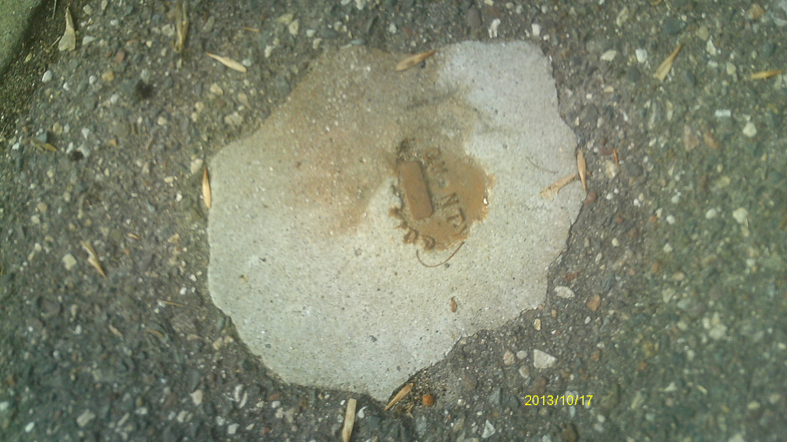
| 10/17/2013 | Found CIM at street grade. Photos taken. |
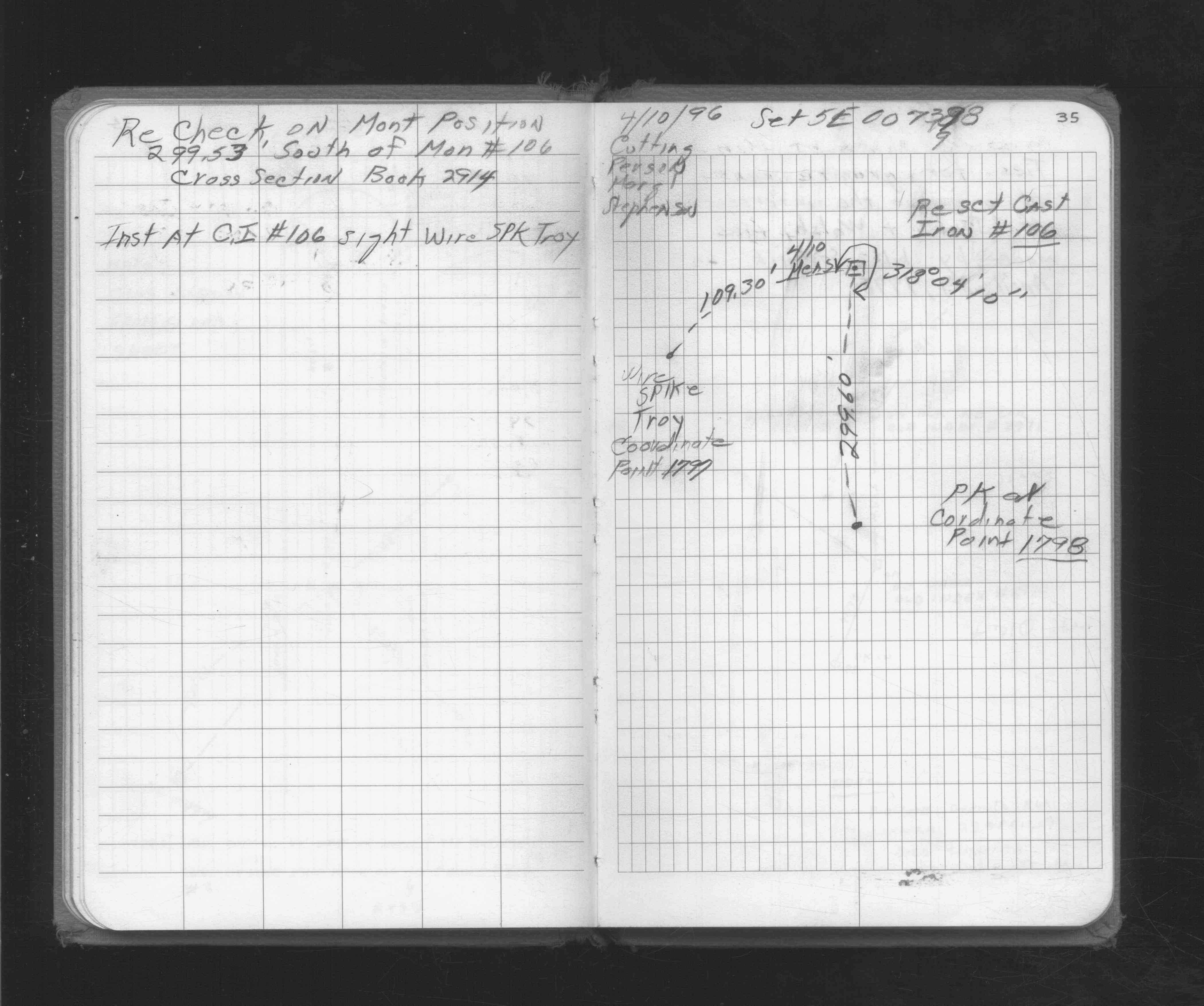
| 3/1/1996 | (Unknown date Mar __, 1996 ) Ties by Gorman Surveying, Inc. See CofL 1798-xxxx-A |
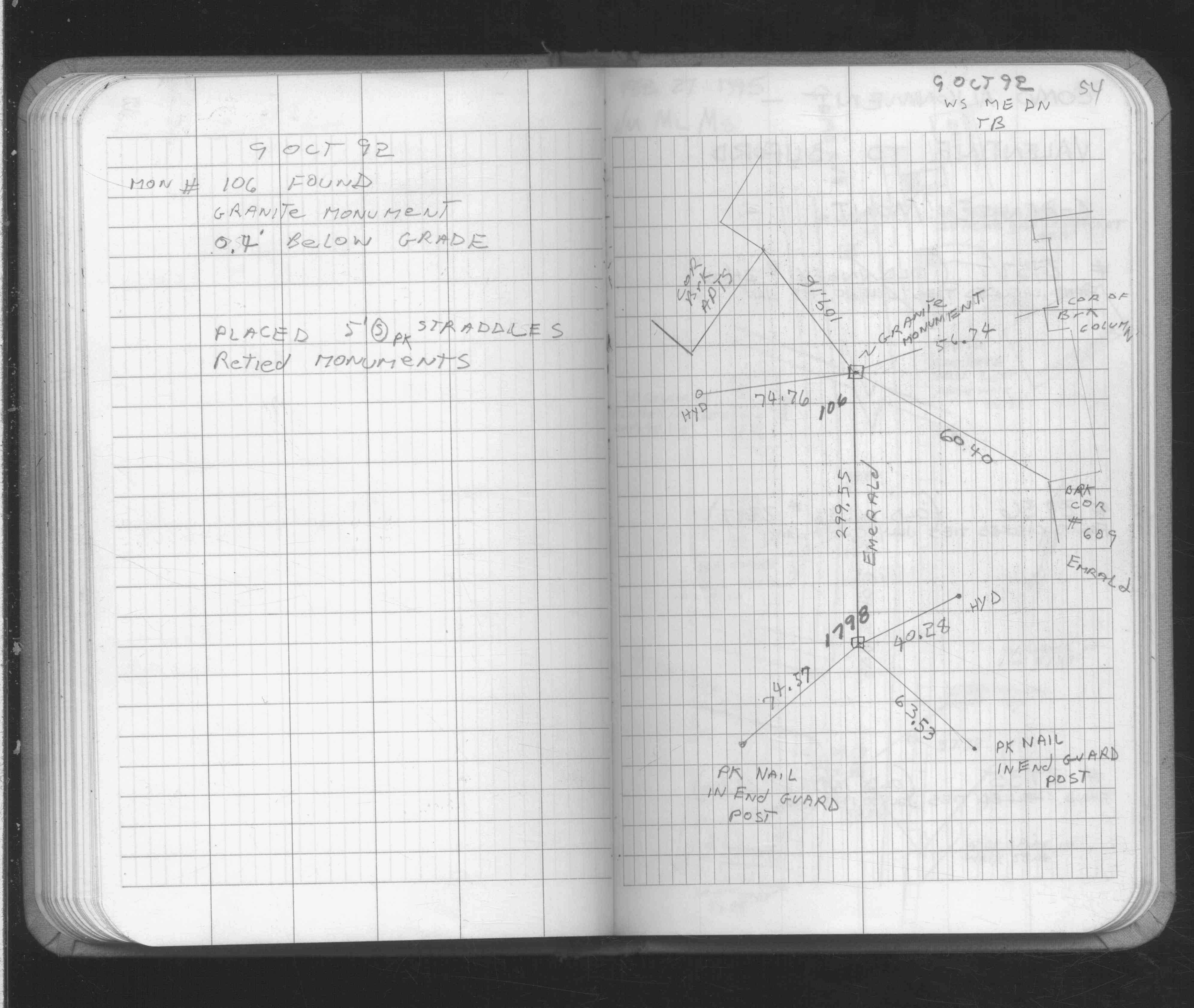
| 10/1/1992 | (Unknown date Oct __, 1992 ) Placed ties on concrete monument. See FB 1689 p.54 |
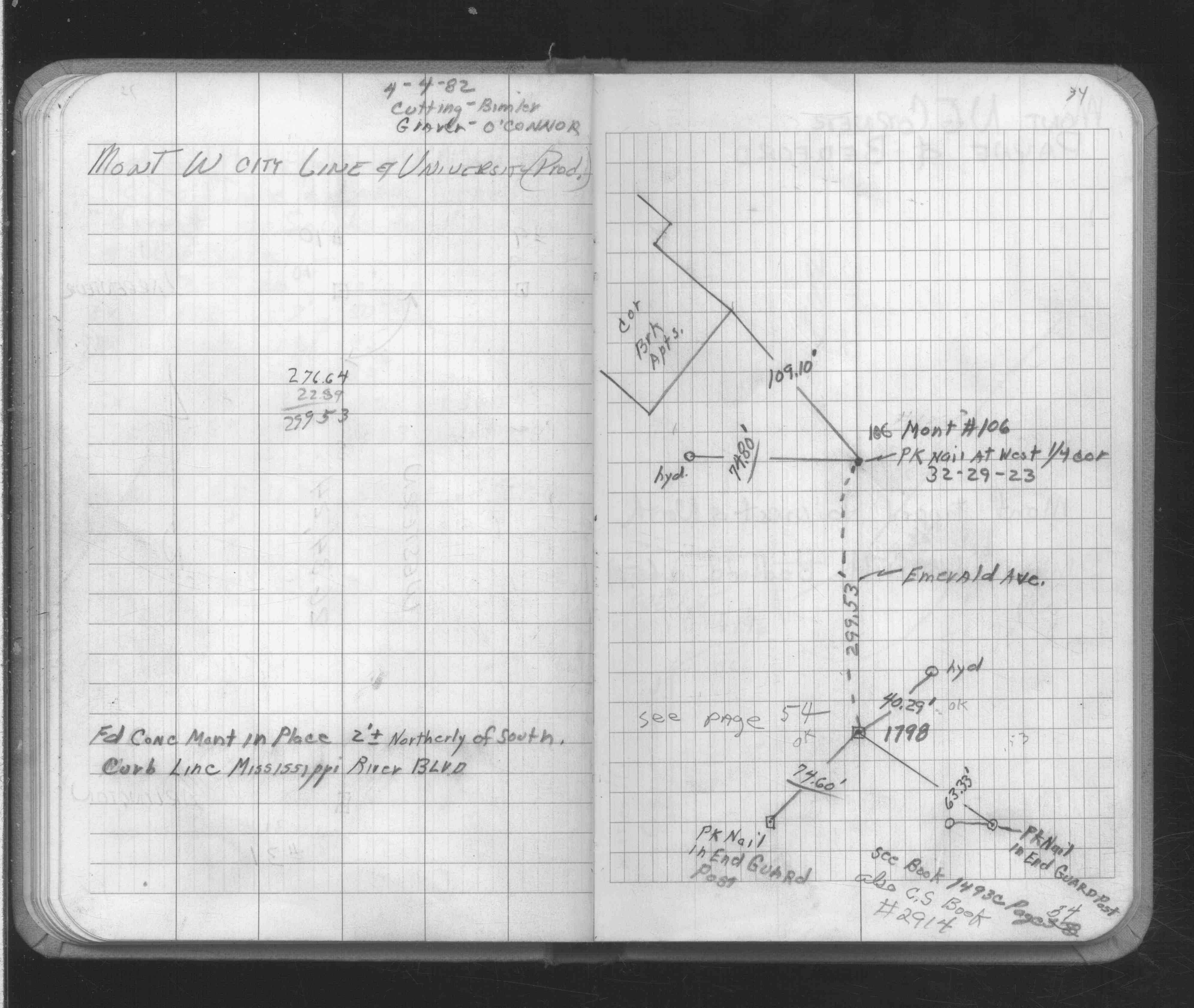
| 4/1/1982 | (Unknown date Apr __, 1982 ) Placed ties on concrete monument. See FB 1689 p.34 |
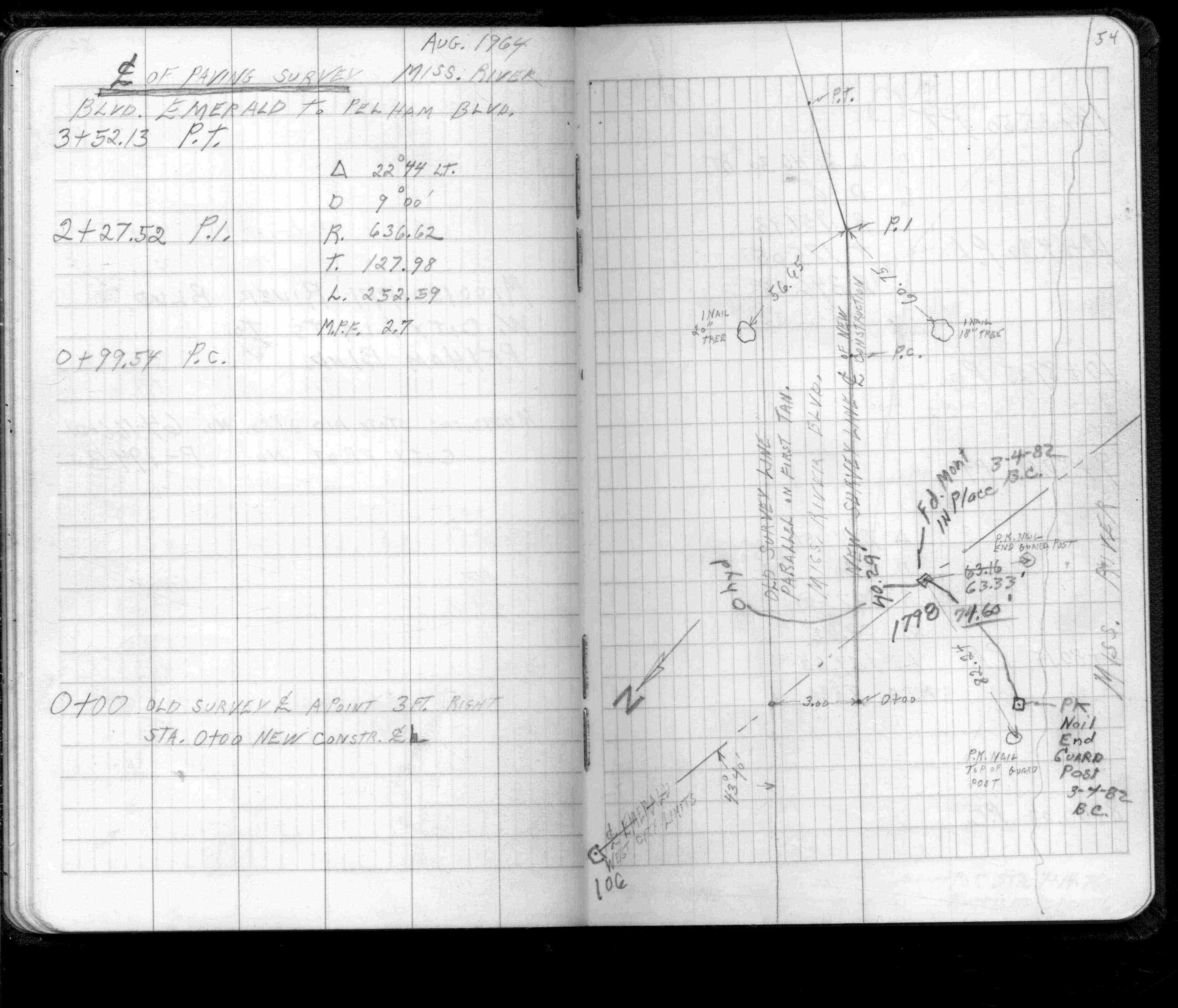
| 3/1/1982 | (Unknown date Mar __, 1982 ) Placed ties. See FB 1493C p.54 |
Above is NOT an all inclusive history of this point. Please review all the links below.
| PLS NOTES | Field | Cross Section | Sewer | J.B. Irvine | Monument | River Survey |
|---|---|---|---|---|---|---|
| FB 1493Cp.53-54 | ||||||
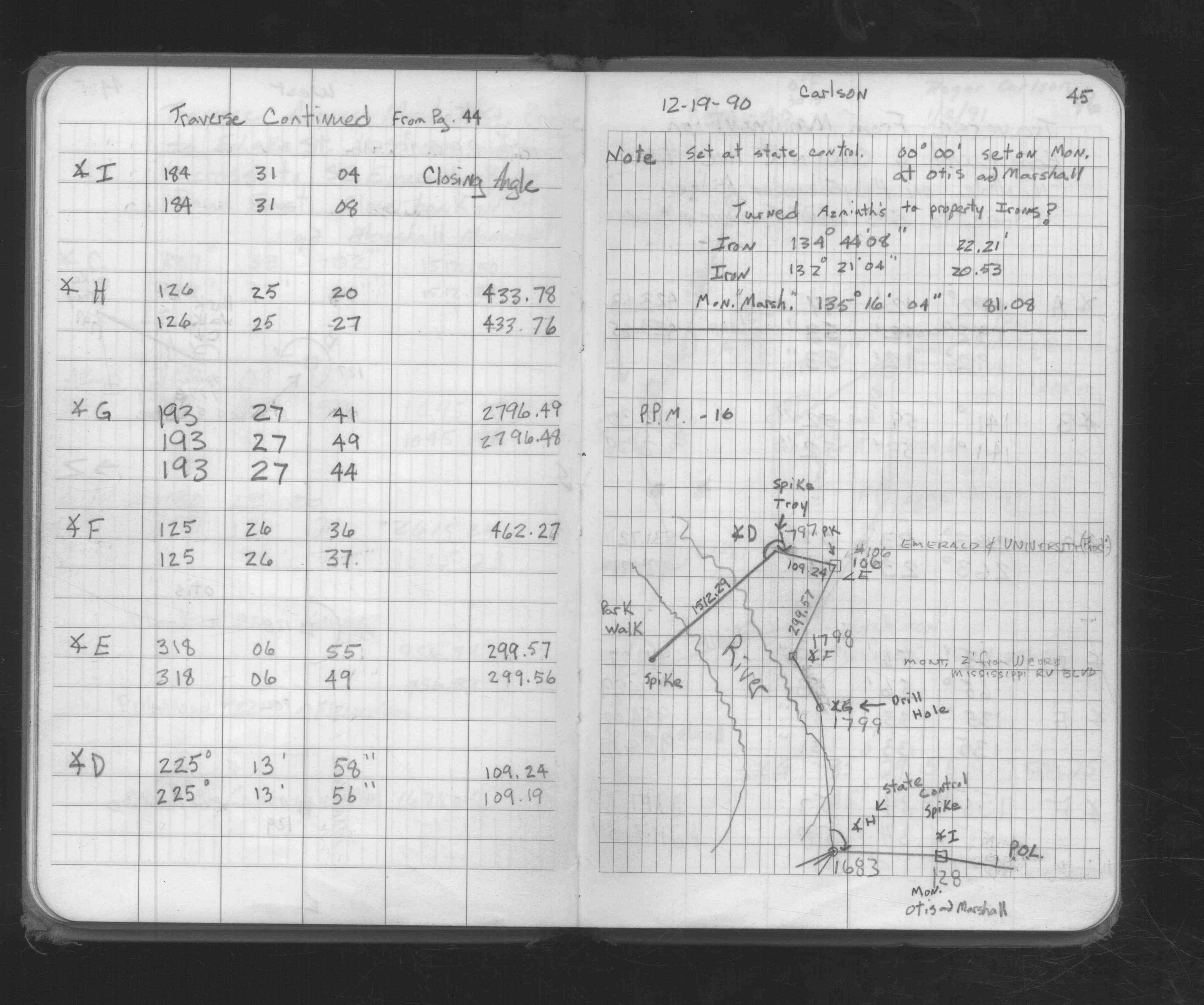
| FB 1676Cp.45 | ||||||
| FB 1689p. 34 ,54 | ||||||
| FB 1716p.35 |
| FILE | SURVEYOR | LIC. NO. | DATE SIGNED | DATE TIED |
|---|---|---|---|---|
| 1798-xxxx-A.tif | Gorman Surveying Inc. | none | none | none |
| FILE | PHOTO DATE | COMMENTS |
|---|---|---|
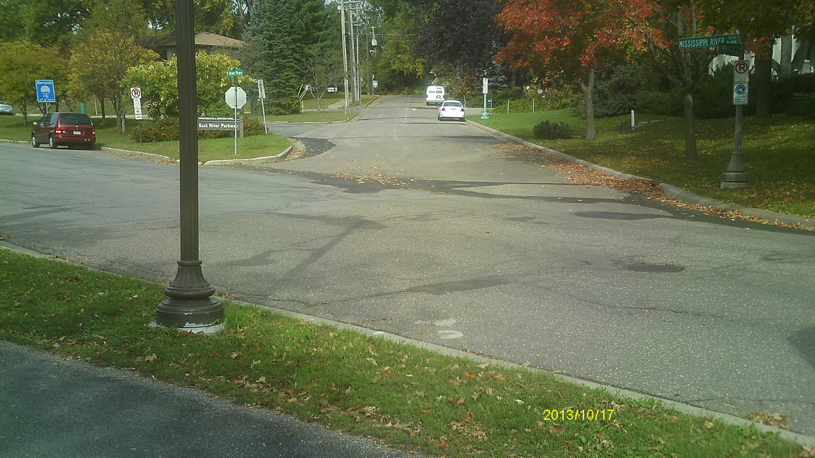
| 1798-__gj-6.jpg | October 17, 2013 | Looking west along Mississippi River Blvd. |
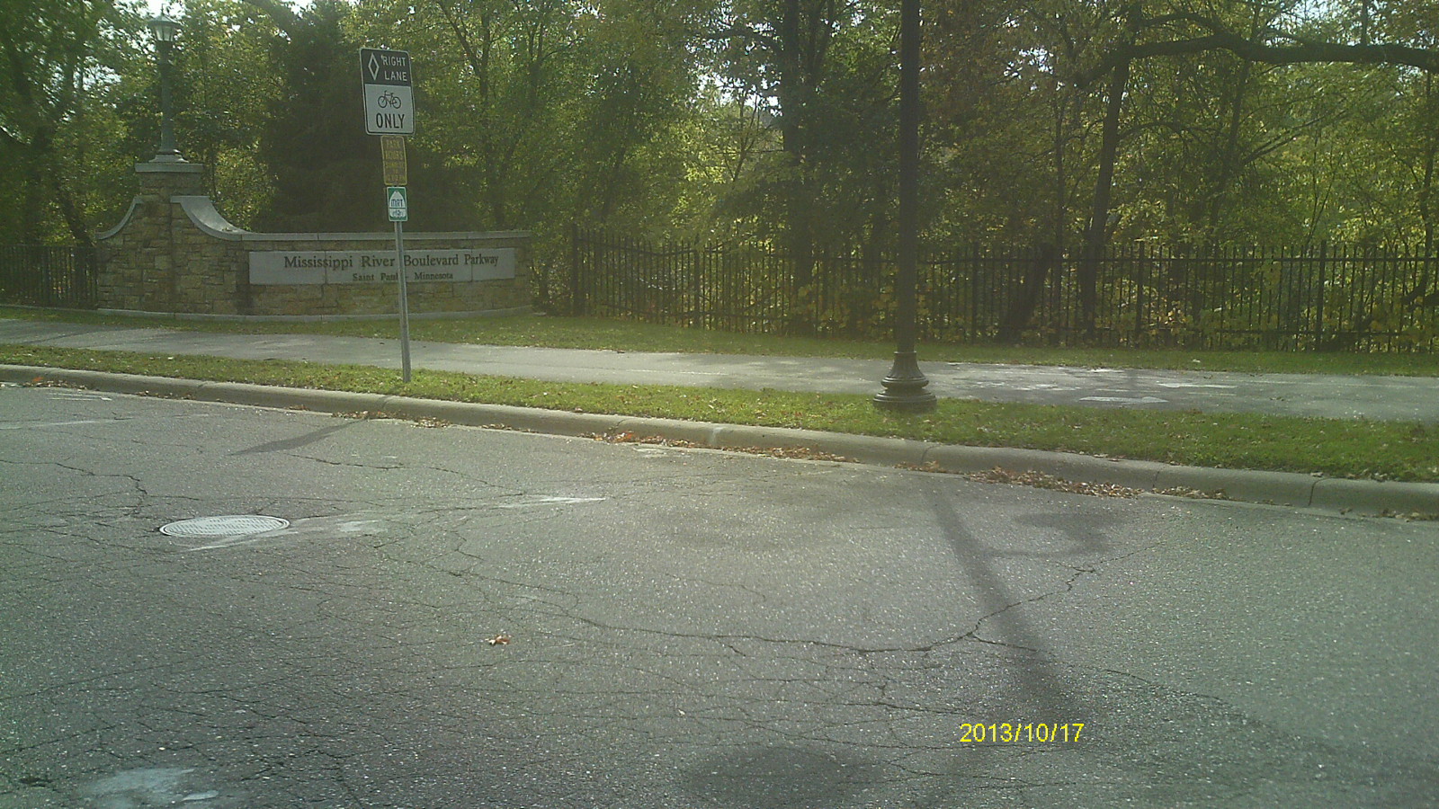
| 1798-__gj-5.jpg | October 17, 2013 | Looking south across Mississippi River Blvd. |
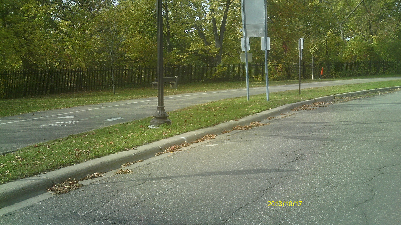
| 1798-__gj-4.jpg | October 17, 2013 | Looking east along Mississippi River Blvd. |
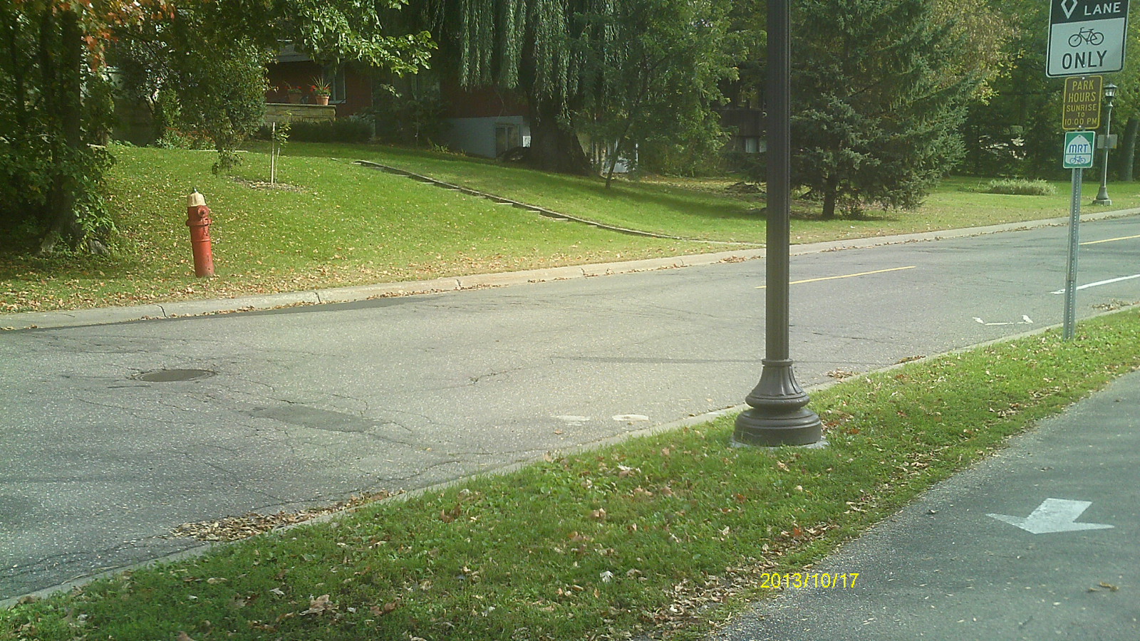
| 1798-__gj-3.jpg | October 17, 2013 | Looking north along Pelham Blvd. |
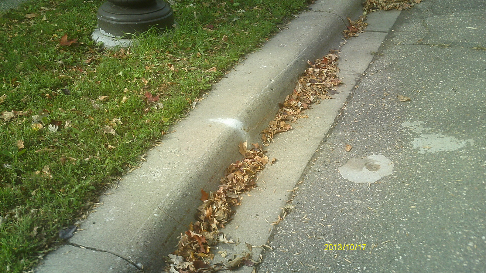
| 1798-__gj-2.jpg | October 17, 2013 | Close up of monument location |
| 1798-__gj-1.jpg | October 17, 2013 | Close up of monument. |