| NAD83 COORDINATES (1986 adj.): |
|---|
| X= 578335.391 Y= 155953.169 Z= 000.00 CMP 12/17/1991 |
| NAD83 COORDINATES (1996 adj.): |
|---|
| X= 578334.908 Y= 155954.062 Z= 702.1 06/16/2009 MnDot |
| 6/16/2009 | MnDot set the Position the on disk by stubbed static GPS. Elev. 702.1 ft. |
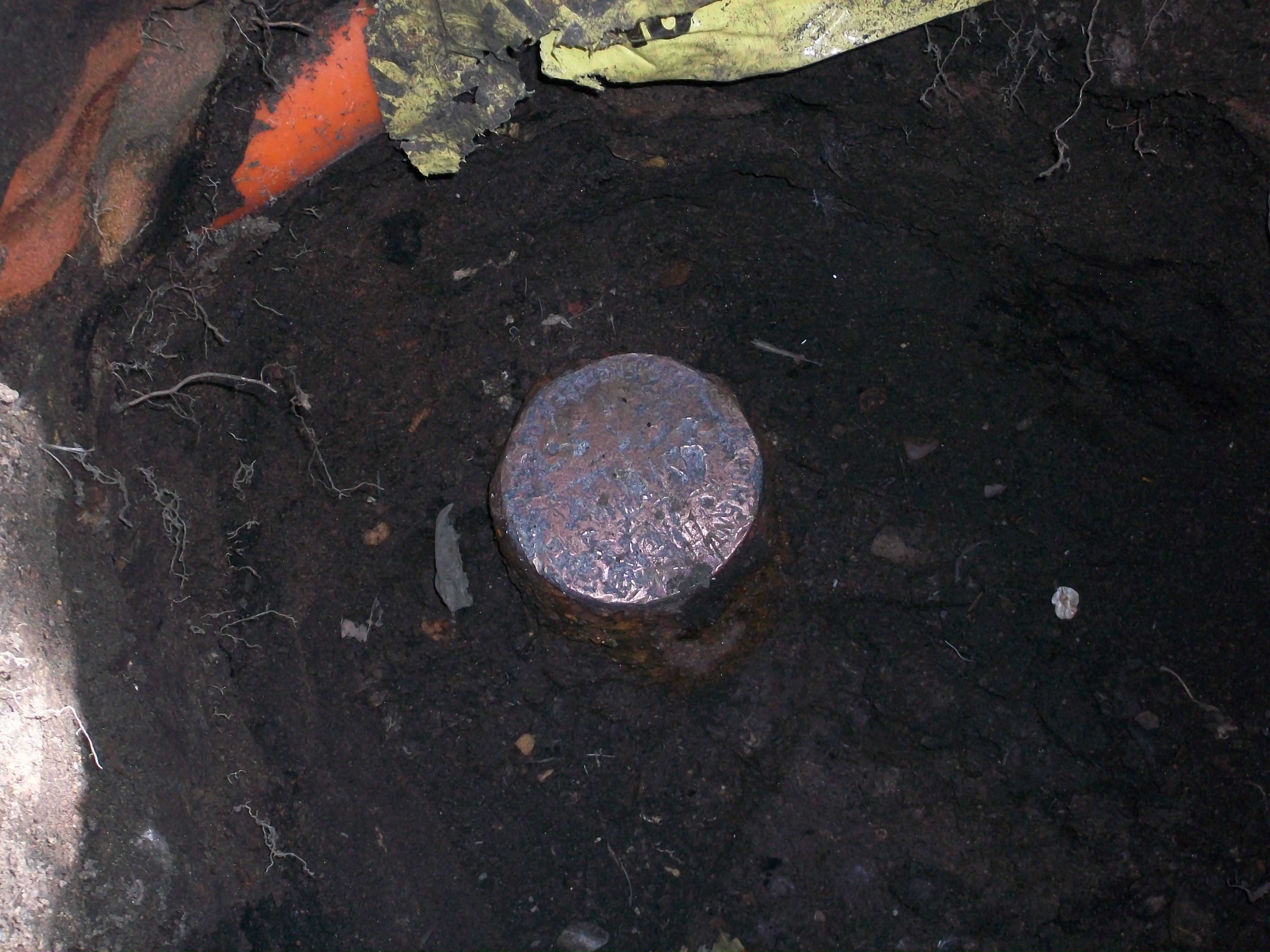
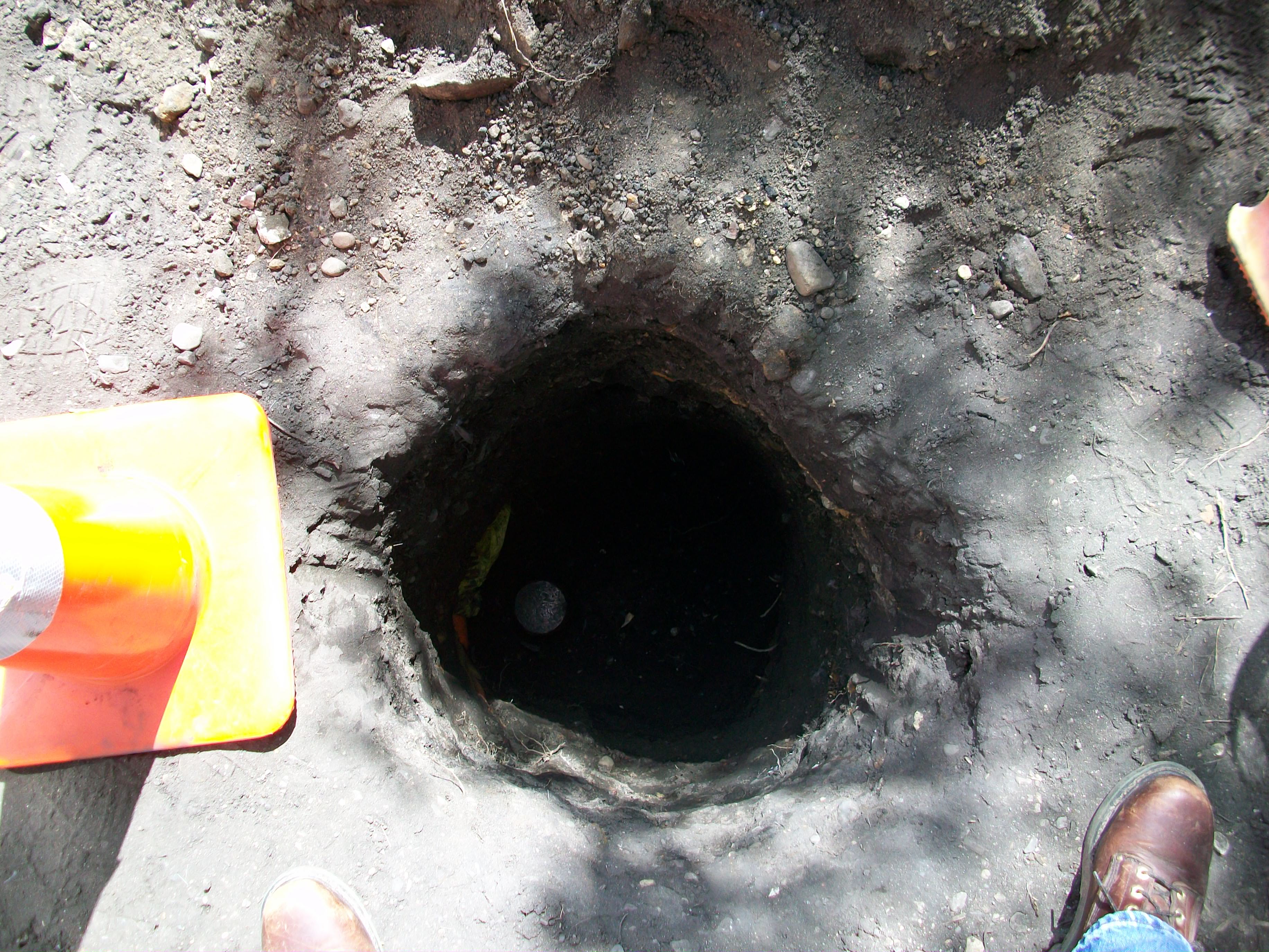
| 6/12/2009 | MnDot Fd 3.5" brass disk stamped 'US ENGINEER OFFICE and MONUMENT' set in 3" cast iron pipe approx. 3 ft.below grade. Photos taken. |
| 10/1/1994 | (Unknown date Oct __, 1994 ) Corps of Engs recovered 8"x 8" GM 7 ft below grade. Set 3" dia brass cap mon't 2 ft above grade & 7 ft above GM. |
| 3/10/1959 | Fd Corps of Engineers brass plug, placed ties. See FB 1424 p.53 |
| 3/20/1934 | Placed ries on the GM at grade. See book MSX 2 p.31-32. |
Above is NOT an all inclusive history of this point. Please review all the links below.
| PLS NOTES | Field | Cross Section | Sewer | J.B. Irvine | Monument | River Survey |
|---|---|---|---|---|---|---|
| FB 0909p. 07 ,65 | MSX 0002 p.031-032 | 1885 p.026-027 p.028-029 | ||||
| FB 1289Ap.13 | ||||||
| FB 1424p.53 |
| FILE | PHOTO DATE | COMMENTS |
|---|---|---|
| 1942-0450A-3.jpg | June 12, 2009 | Closer photo pointing out the stamped 'X' in the center. |
| 1942-0450A-2.jpg | June 12, 2009 | Close-up of the Brass Disk. |
| 1942-0450A-1.jpg | June 12, 2009 | Three foot hole with the disk at the bottom. |