| NAD83 COORDINATES (1986 adj.): |
|---|
| X= 585864.078 Y= 150227.999 Z= 000.00 CMP 12/17/1991 |
| 6/1/1951 | (Unknown date Jun __, 1951 ) Corps of Engs recovered 8"x 8" GM at grade. |
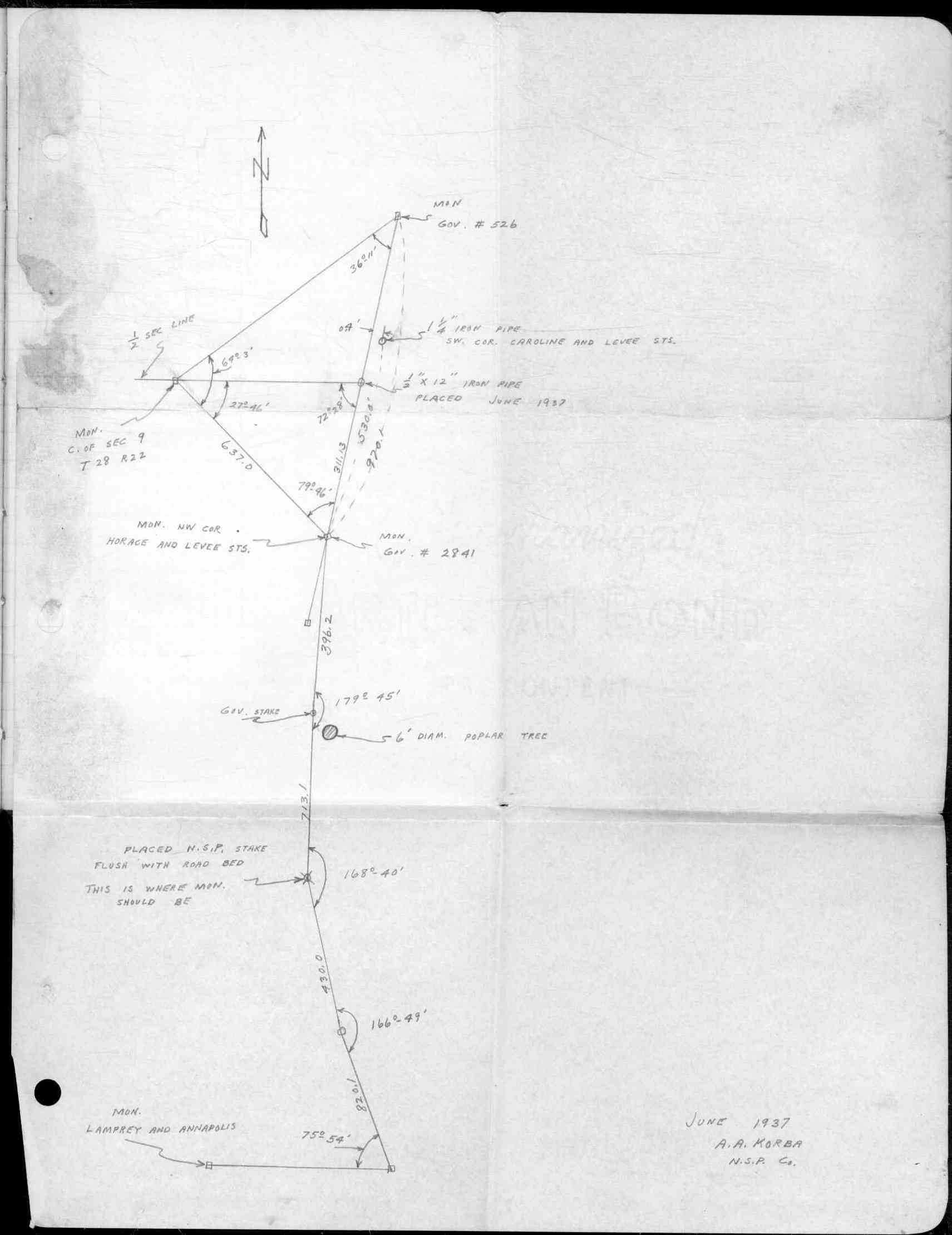
| 6/1/1937 | (Unknown date Jun __, 1937 ) Location of monument. See FB 1347F p.78 |
Above is NOT an all inclusive history of this point. Please review all the links below.
| PLS NOTES | Field | Cross Section | Sewer | J.B. Irvine | Monument | River Survey |
|---|---|---|---|---|---|---|
| FB 1347Fp.78 |