|
FILE
|
PHOTO DATE
|
COMMENTS
|
|
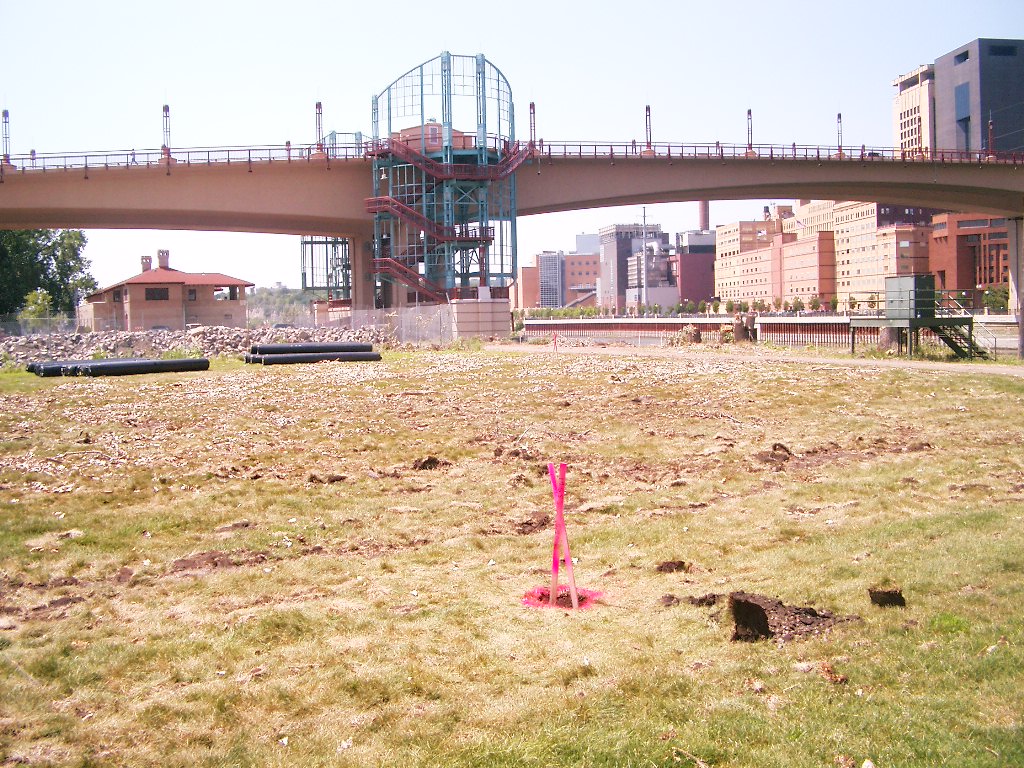
1955-US7A-9.jpg
|
July 30, 2007
|
Looking West (upstream), mon. hole in foreground.
|
|
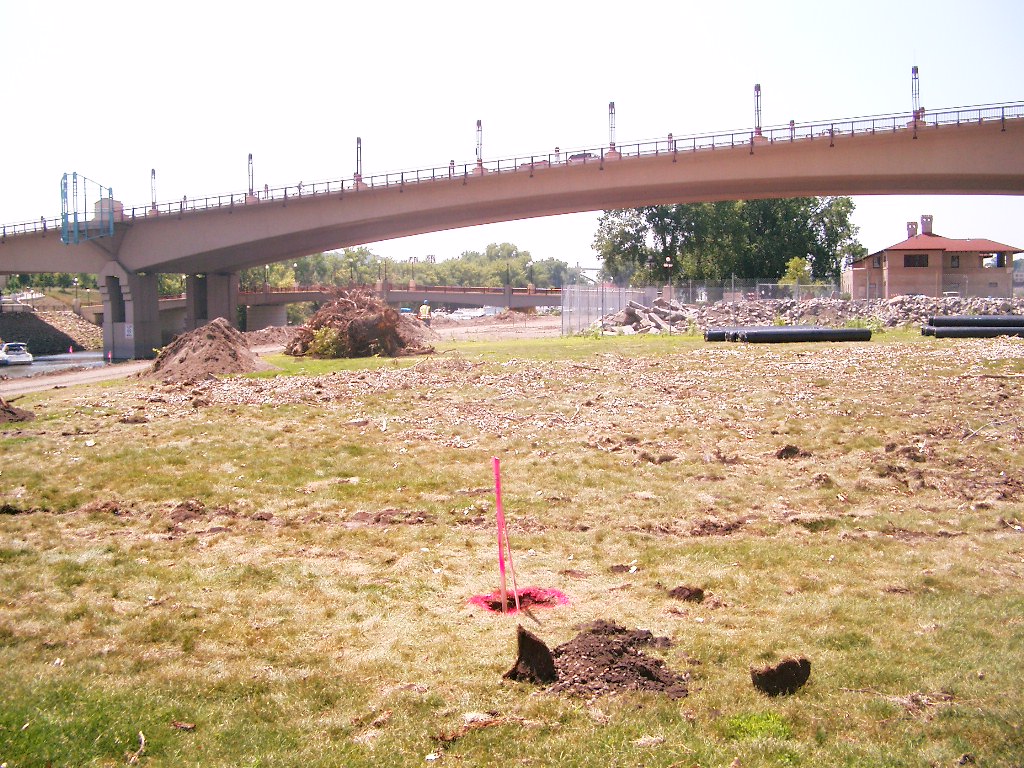
1955-US7A-8.jpg
|
July 30, 2007
|
Looking Southwest towards Raspberry Island bridge, mon. hole in foreground.
|
|
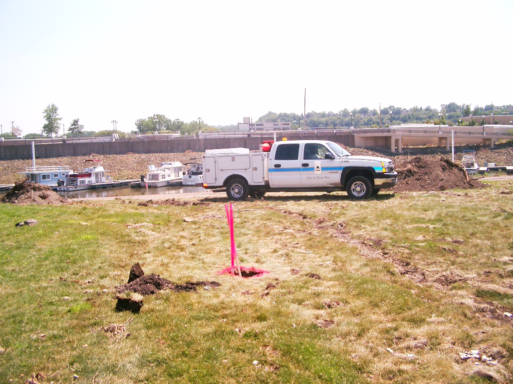
1955-US7A-7.jpg
|
July 30, 2007
|
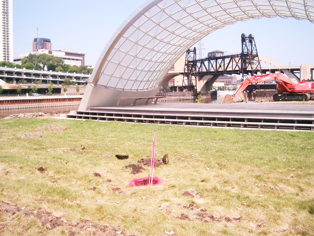
Looking South towards yacht club, mon. hole in foreground.
|
|
1955-US7A-6.jpg
|
July 30, 2007
|
Looking Southast, mon. hole in foreground.
|
|
1955-US7A-5.jpg
|
July 30, 2007
|
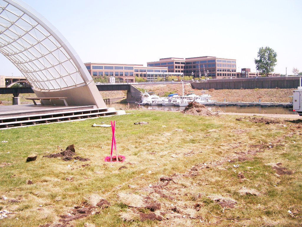
Looking East (downstream) at bandshell, mon. hole in foreground.
|
|
1955-US7A-4.jpg
|
July 30, 2007
|
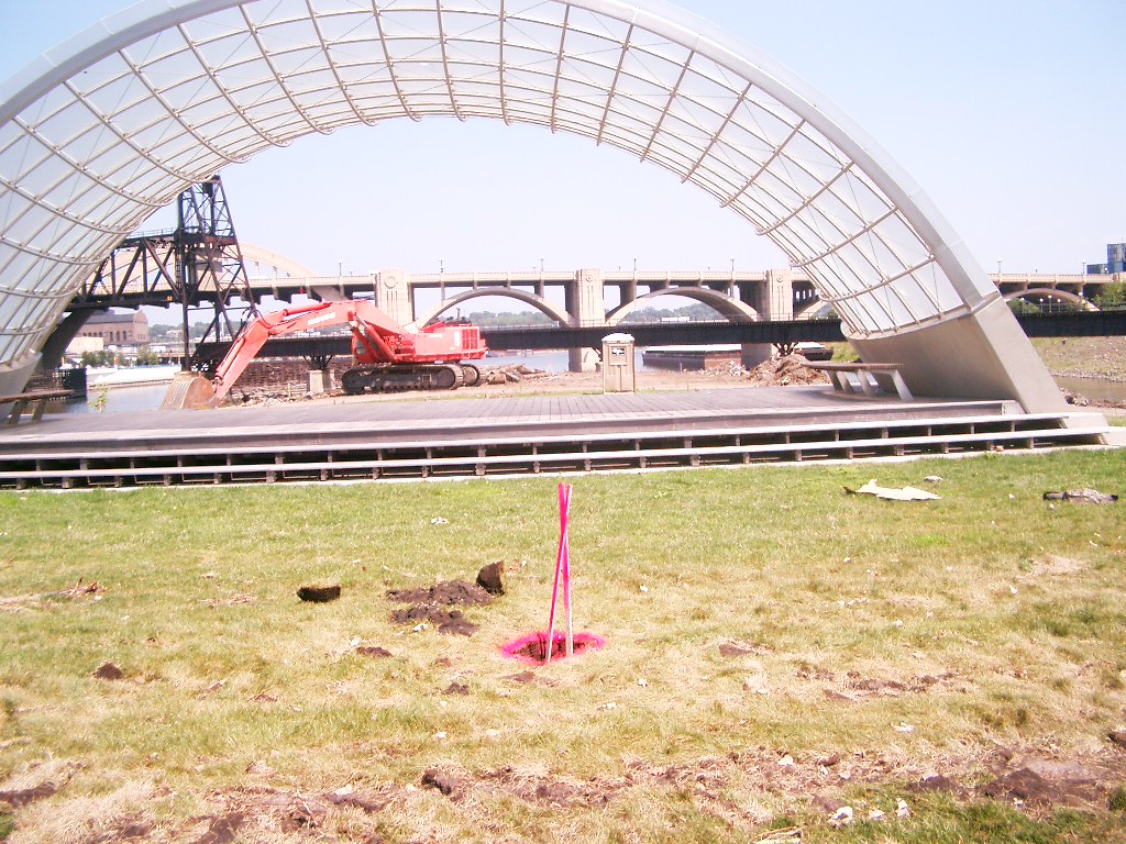
Looking Northeast at river & bandshell, mon. hole in foreground.
|
|
1955-US7A-3.jpg
|
July 30, 2007
|
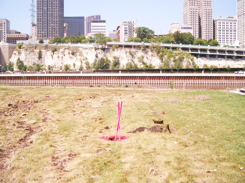
Looking North at river & downtown, mon. hole in foreground.
|
|
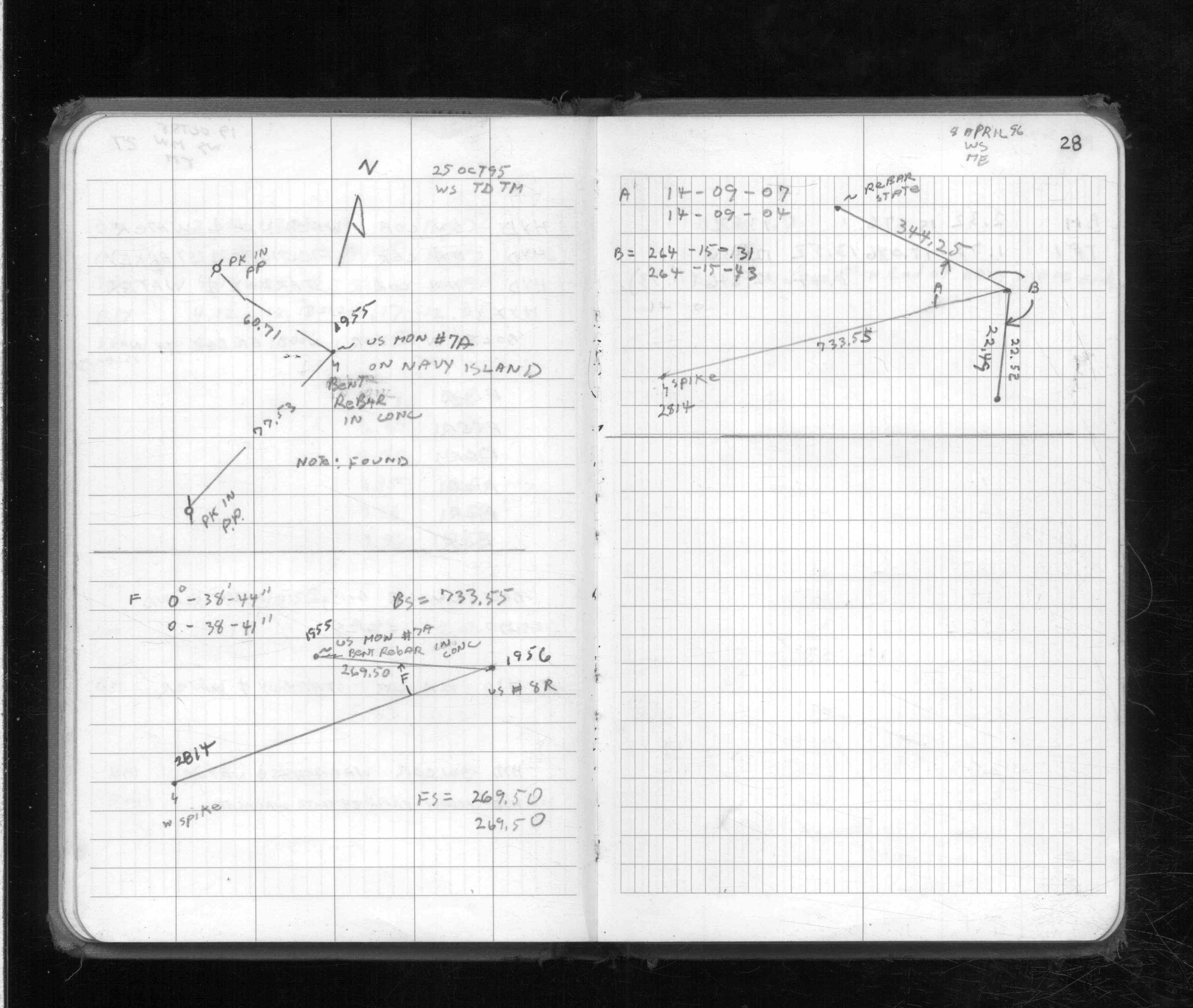
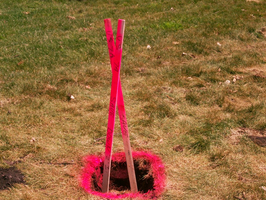
1955-US7A-2.jpg
|
July 30, 2007
|
Close up of monument hole; Note 'Down 2' +/-' on lath.
|
|
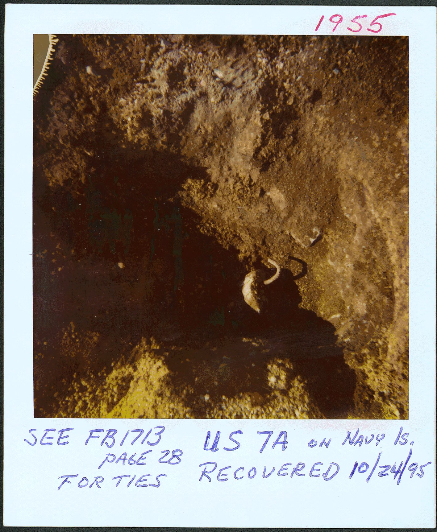
1955-US7A-1.jpg
|
October 24, 1995
|
Close up of concrete monument with bent rebar on Raspberry (Navy) Is.
|