|
FILE
|
PHOTO DATE
|
COMMENTS
|
|
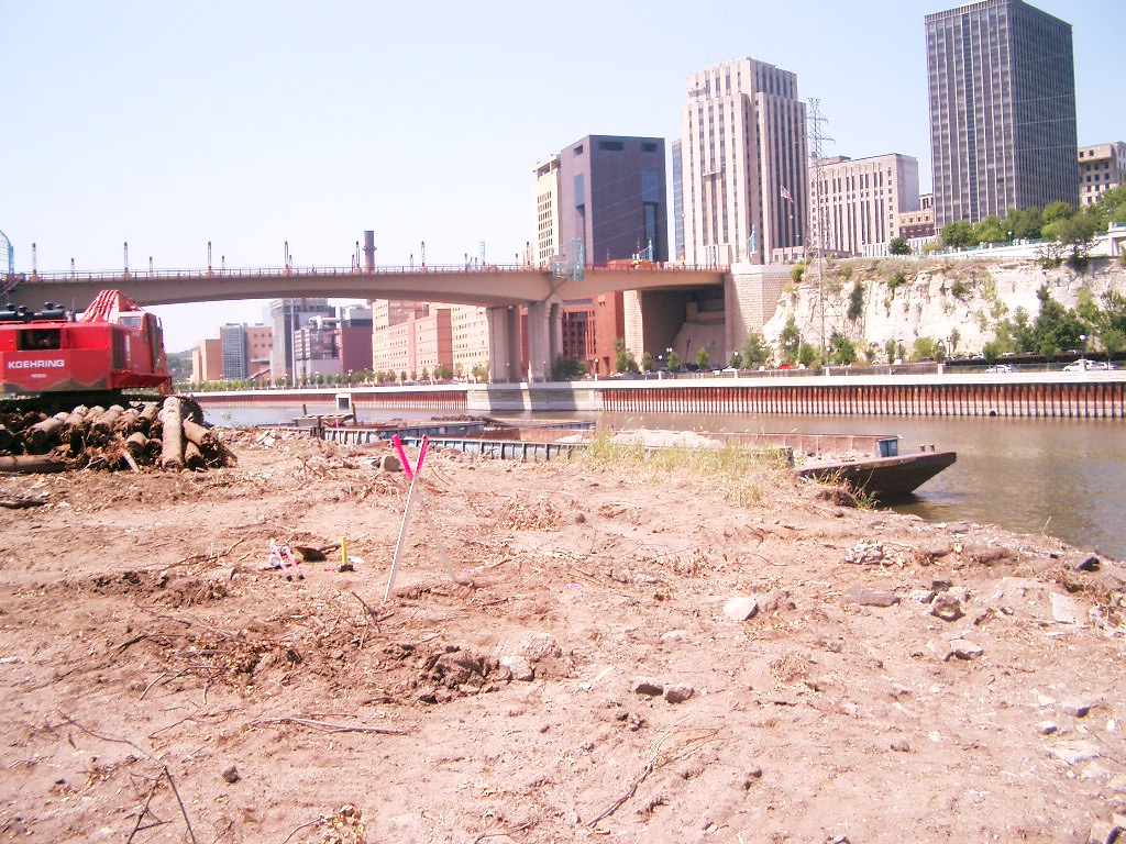
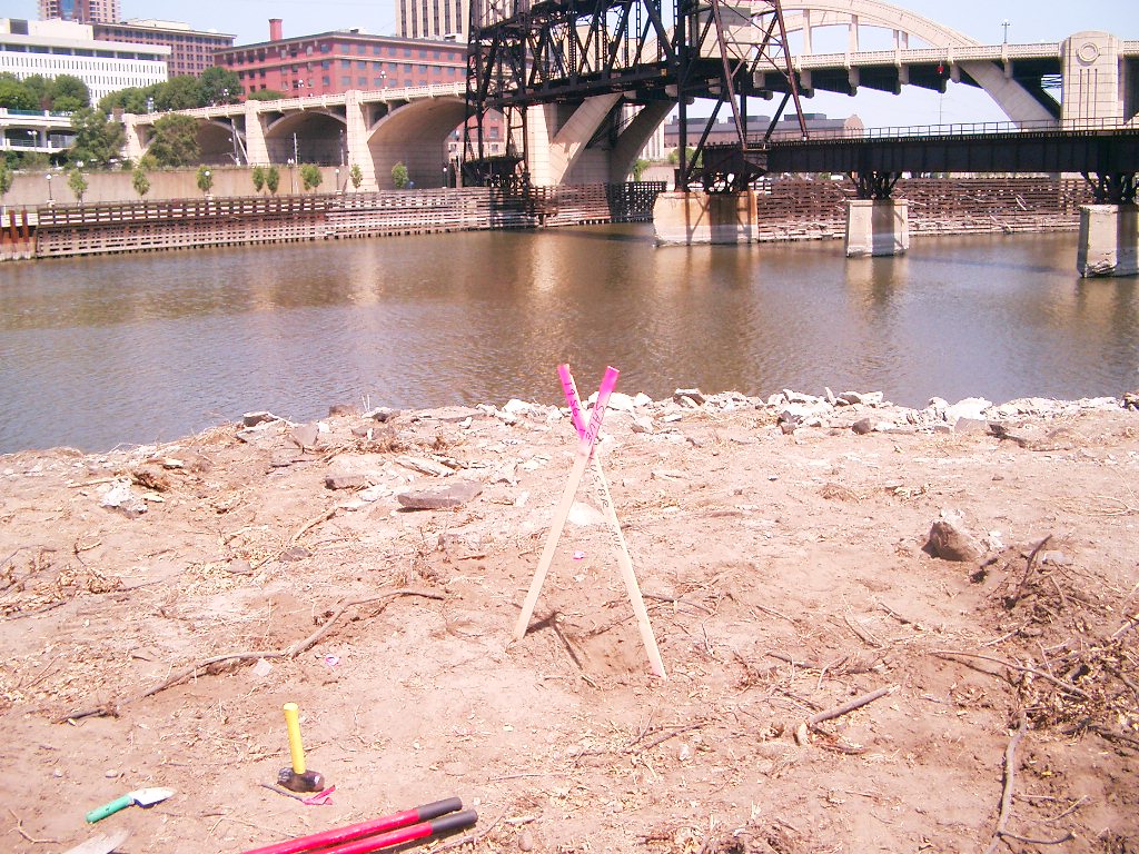
1956-US8R-8.jpg
|
July 30, 2007
|
Looking Northwest across the river, mon. in foreground.
|
|
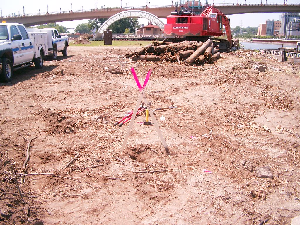
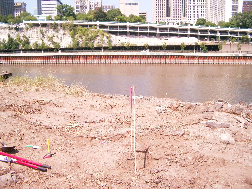
1956-US8R-7.jpg
|
July 30, 2007
|
Looking West (upstream), mon. in foreground.
|
|
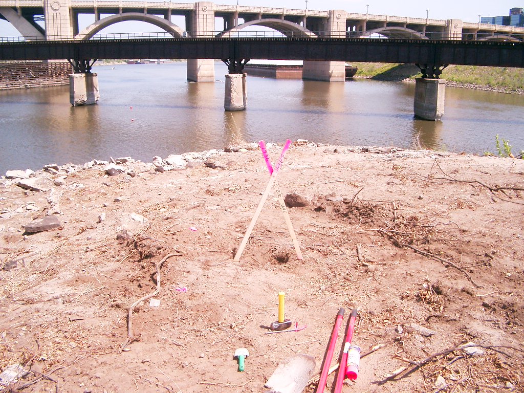
1956-US8R-6.jpg
|
July 30, 2007
|
Looking South across the river, mon. in foreground.
|
|
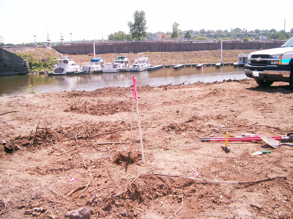
1956-US8R-5.jpg
|
July 30, 2007
|
Looking East (downstream), mon. in foreground.
|
|
1956-US8R-4.jpg
|
July 30, 2007
|
Looking Northeast across the river, mon. in foreground.
|
|
1956-US8R-3.jpg
|
July 30, 2007
|
Looking Northeast across the river, mon. in foreground.
|
|
1956-US8R-2.jpg
|
July 30, 2007
|
Looking North across the river, mon. in foreground.
|
|
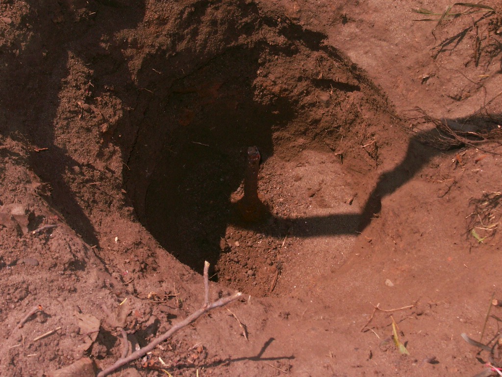
1956-US8R-1.jpg
|
July 30, 2007
|
Close-up of rebar mon. in hole, aprx. 1' below grade.
|