| NAD83 COORDINATES (1986 adj.): |
|---|
| X= 578653.120 Y= 157396.770 Z= 009.24 LSQ 12/06/1991 S FLT |
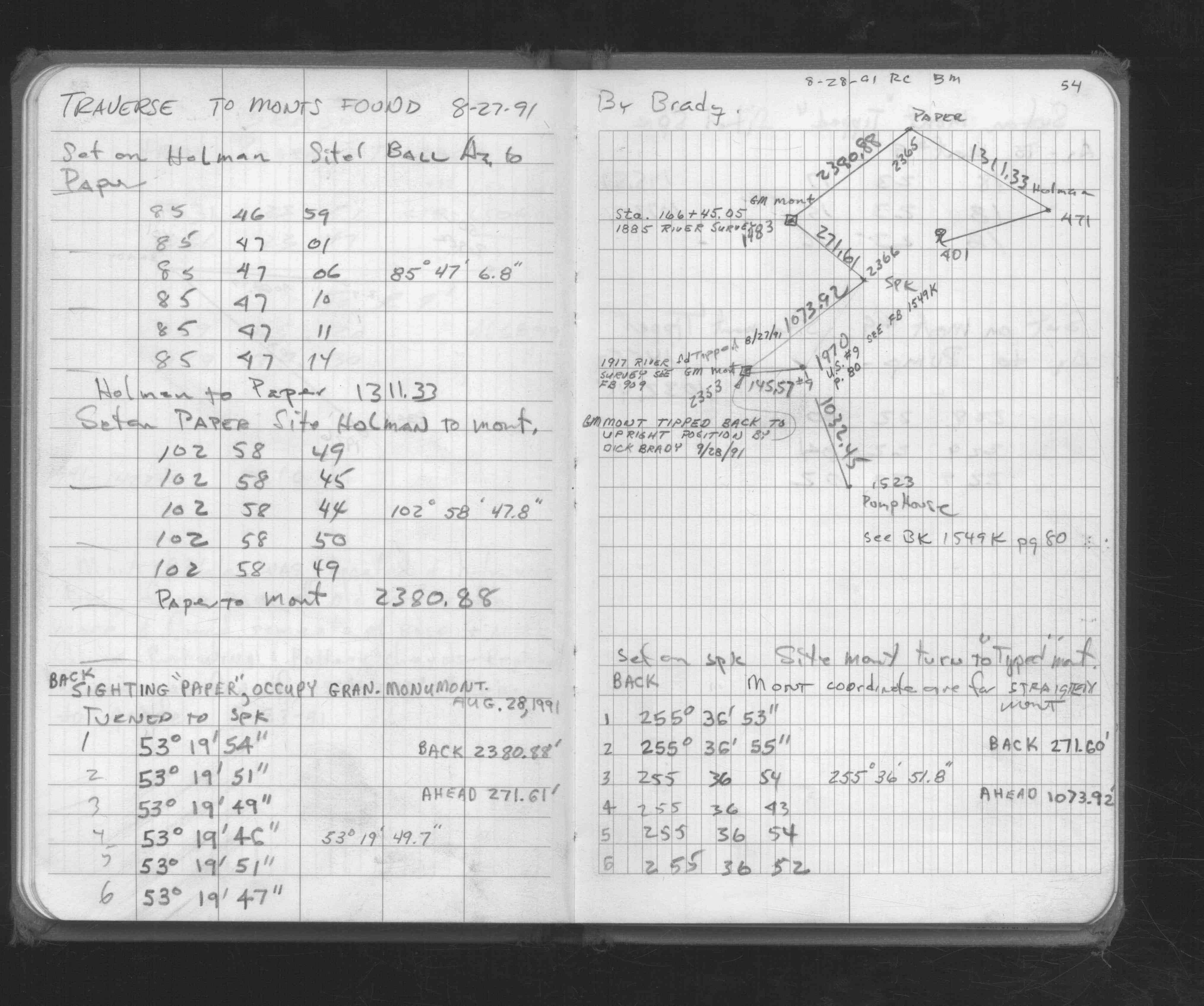
| 8/28/1991 | Used for traverse control. See FB 1676D p.54 |
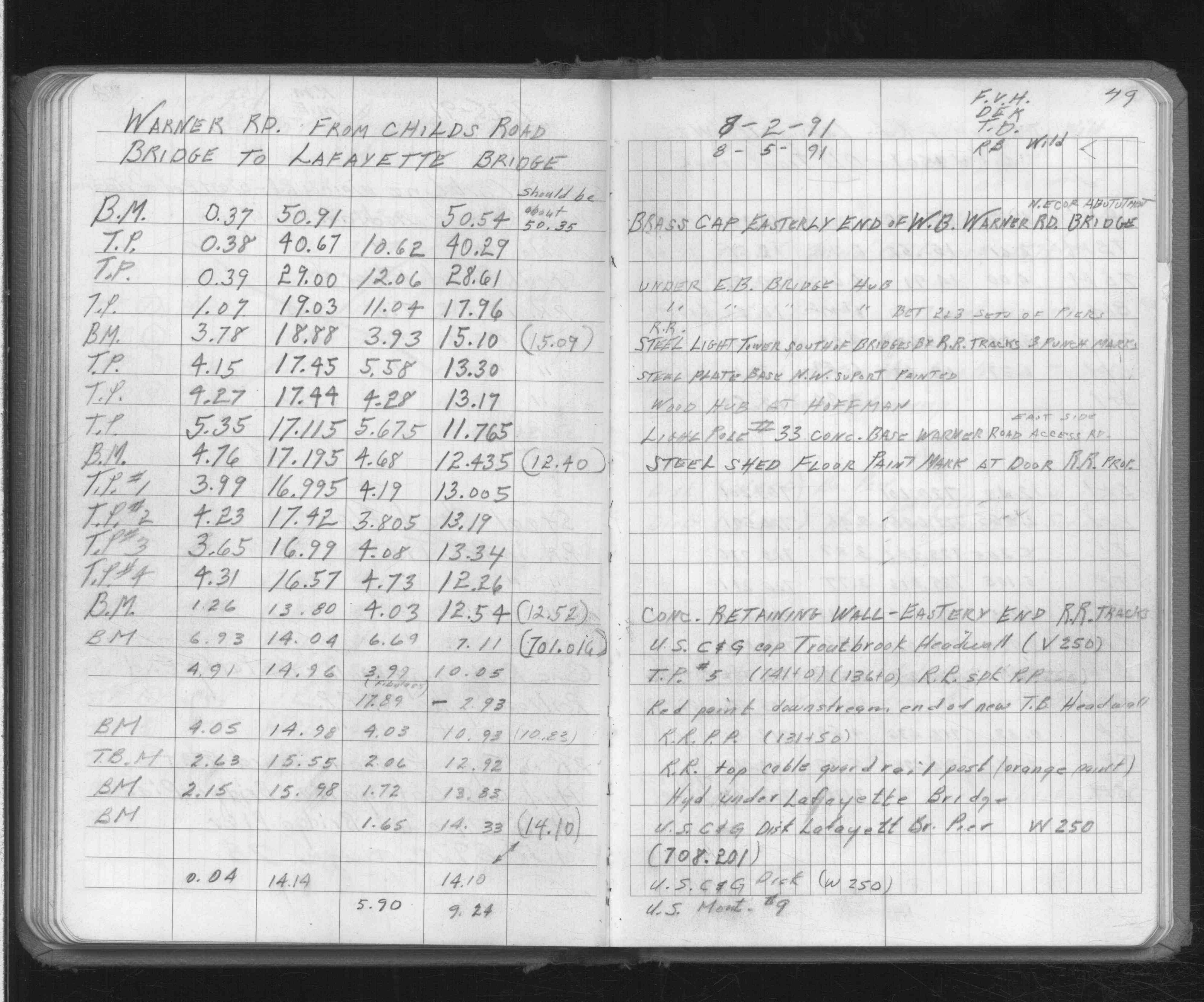
| 8/5/1991 | Elev 9.24 ft. See FB 892F p.49 |
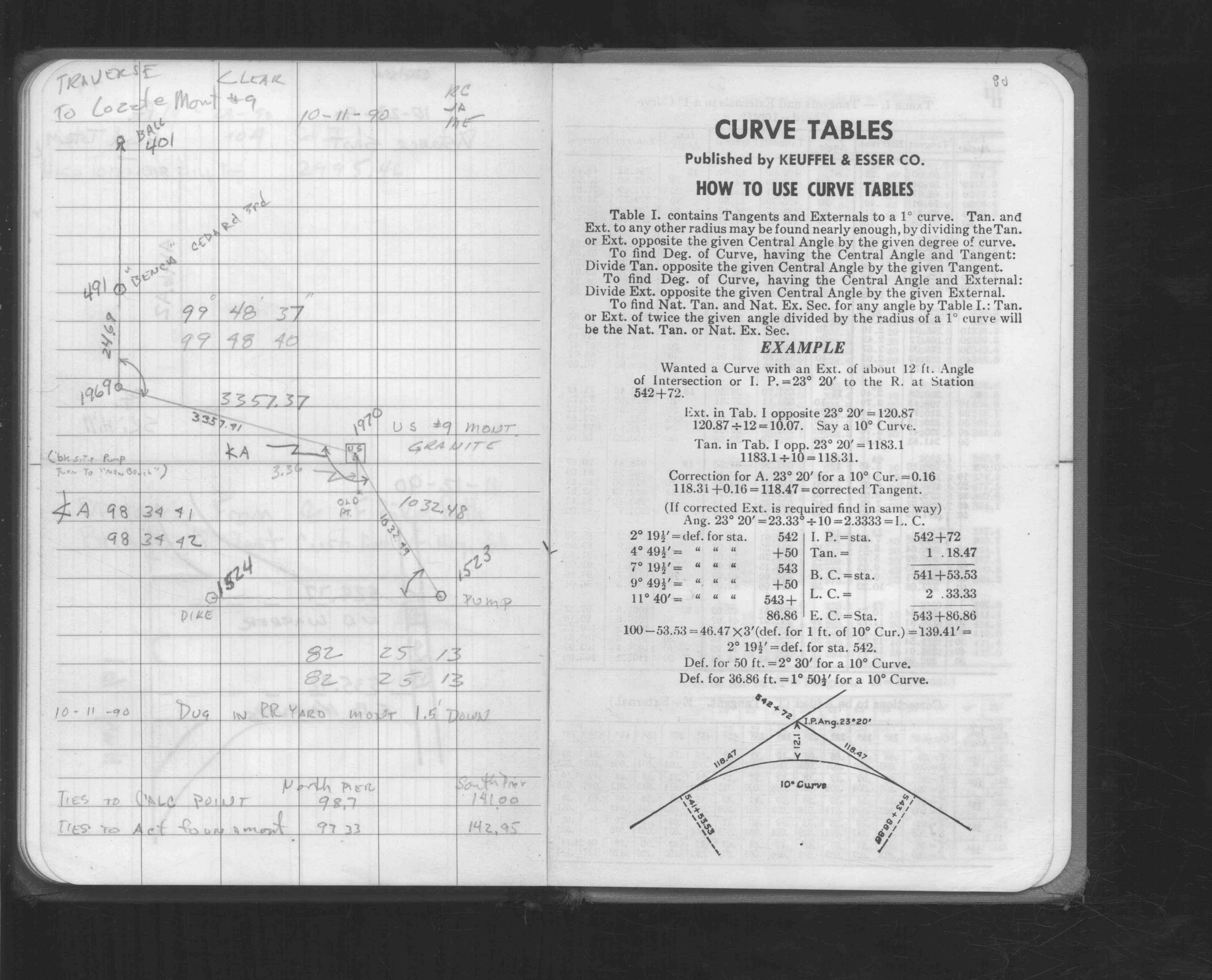
| 10/11/1990 | Established position by traversing through GM. See FB 1549K p.80 |
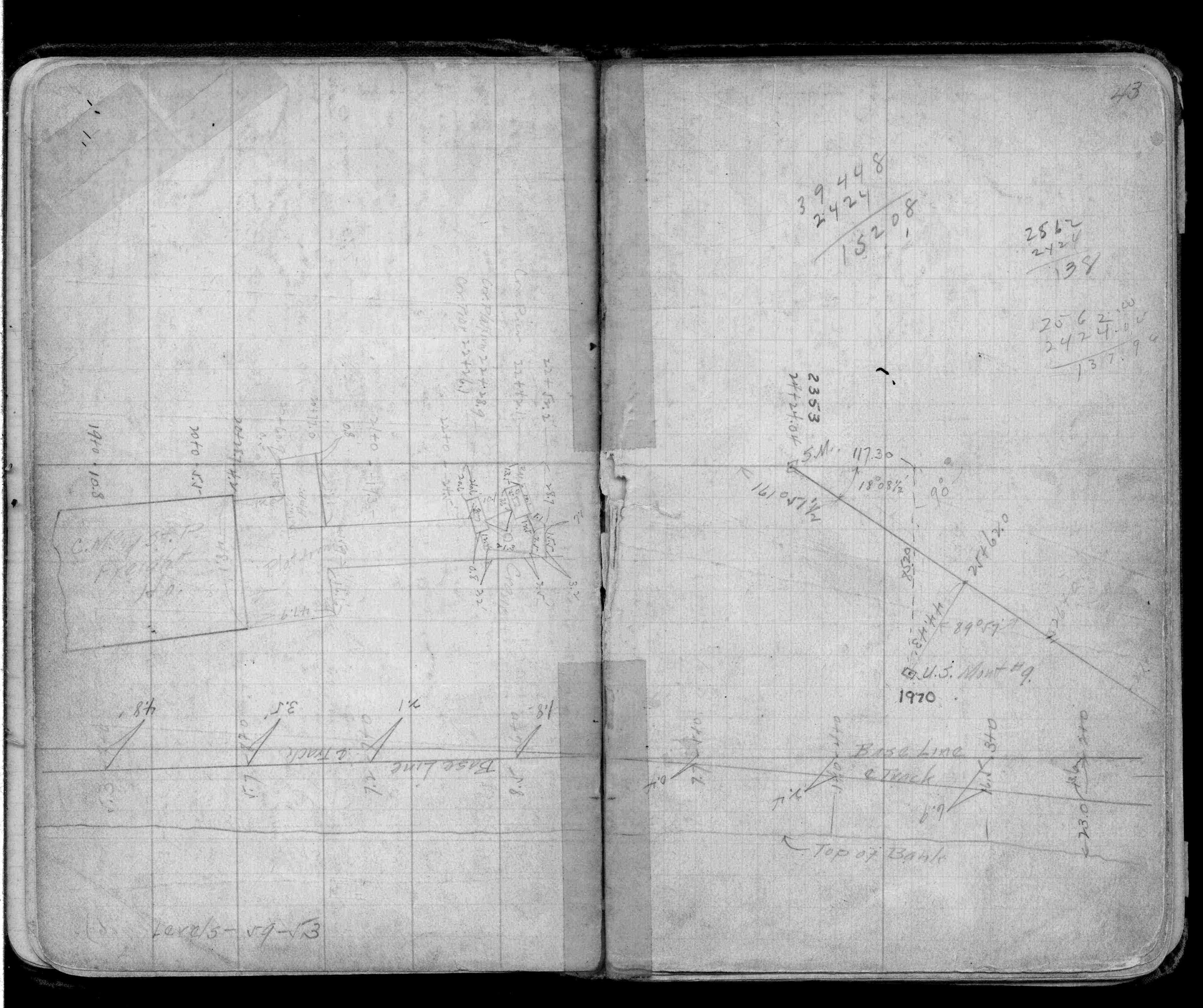
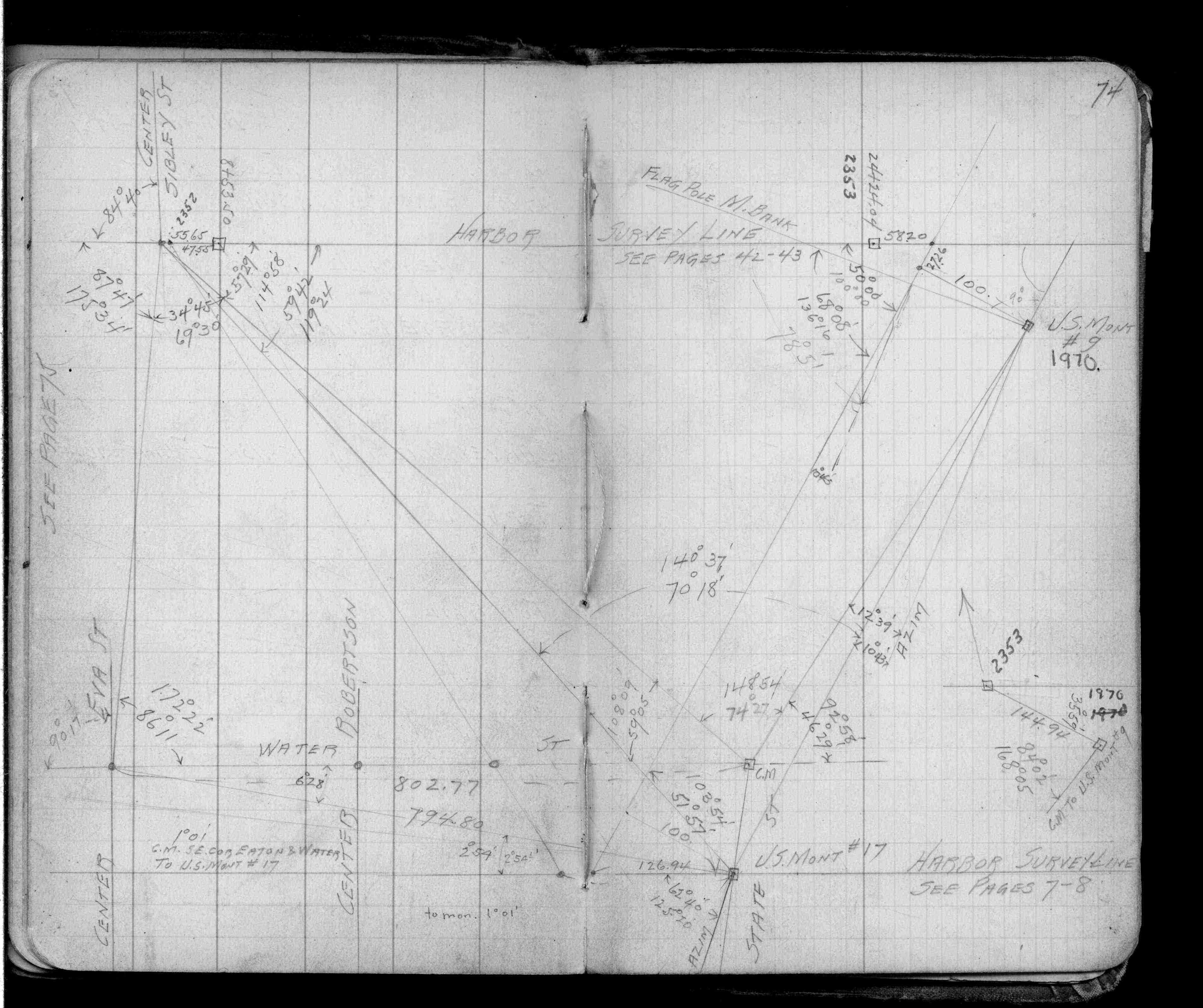
| 1/1/1917 | (Unknown date ___ __, 1917 ) See FB 909 p.43,74 |
Above is NOT an all inclusive history of this point. Please review all the links below.
| PLS NOTES | Field | Cross Section | Sewer | J.B. Irvine | Monument | River Survey |
|---|---|---|---|---|---|---|
| FB 0892Fp.49 | ||||||
| FB 0909p. 43 ,74 | ||||||
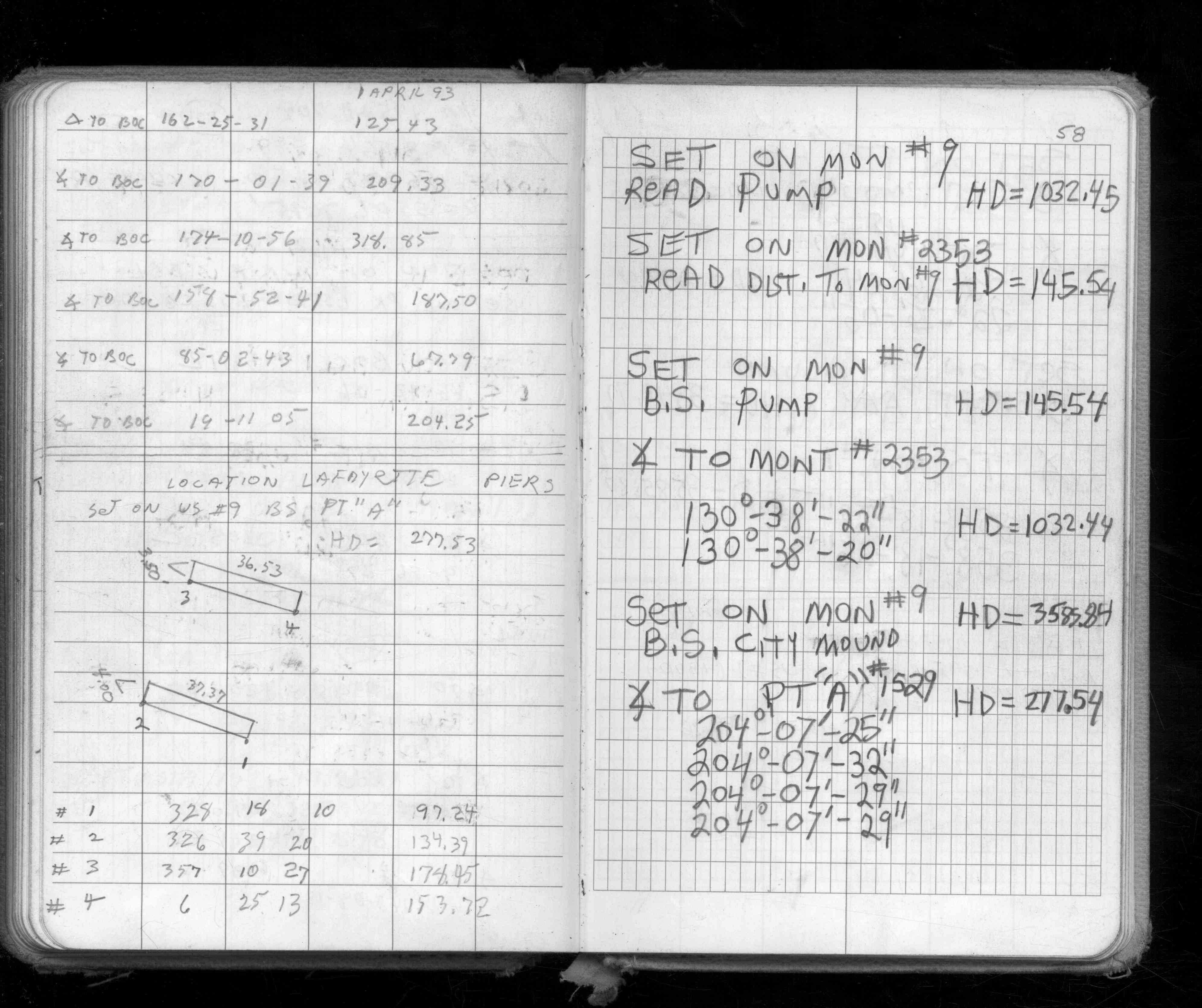
| FB 1542Bp.58 | ||||||
| FB 1549Kp.80 | ||||||
| FB 1676Dp.54 |
| FILE | PHOTO DATE | COMMENTS |
|---|---|---|
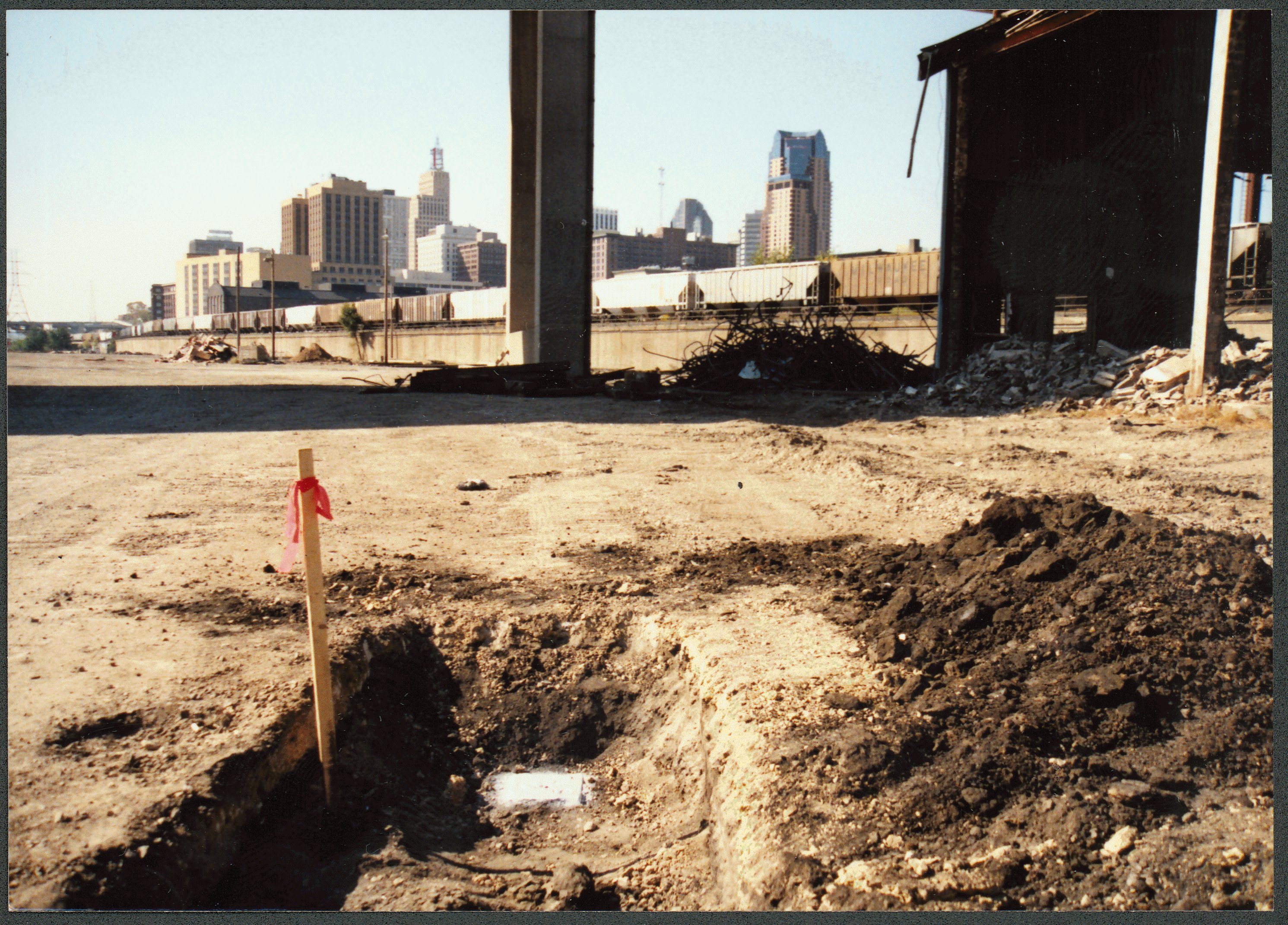
| 1970-US9_-4.jpg | October 1, 1990 | Looking west, monument in foreground, downtown St Paul in background. |
| 1970-US9_-3.jpg | October 1, 1990 | Looking east, monument in foreground. |
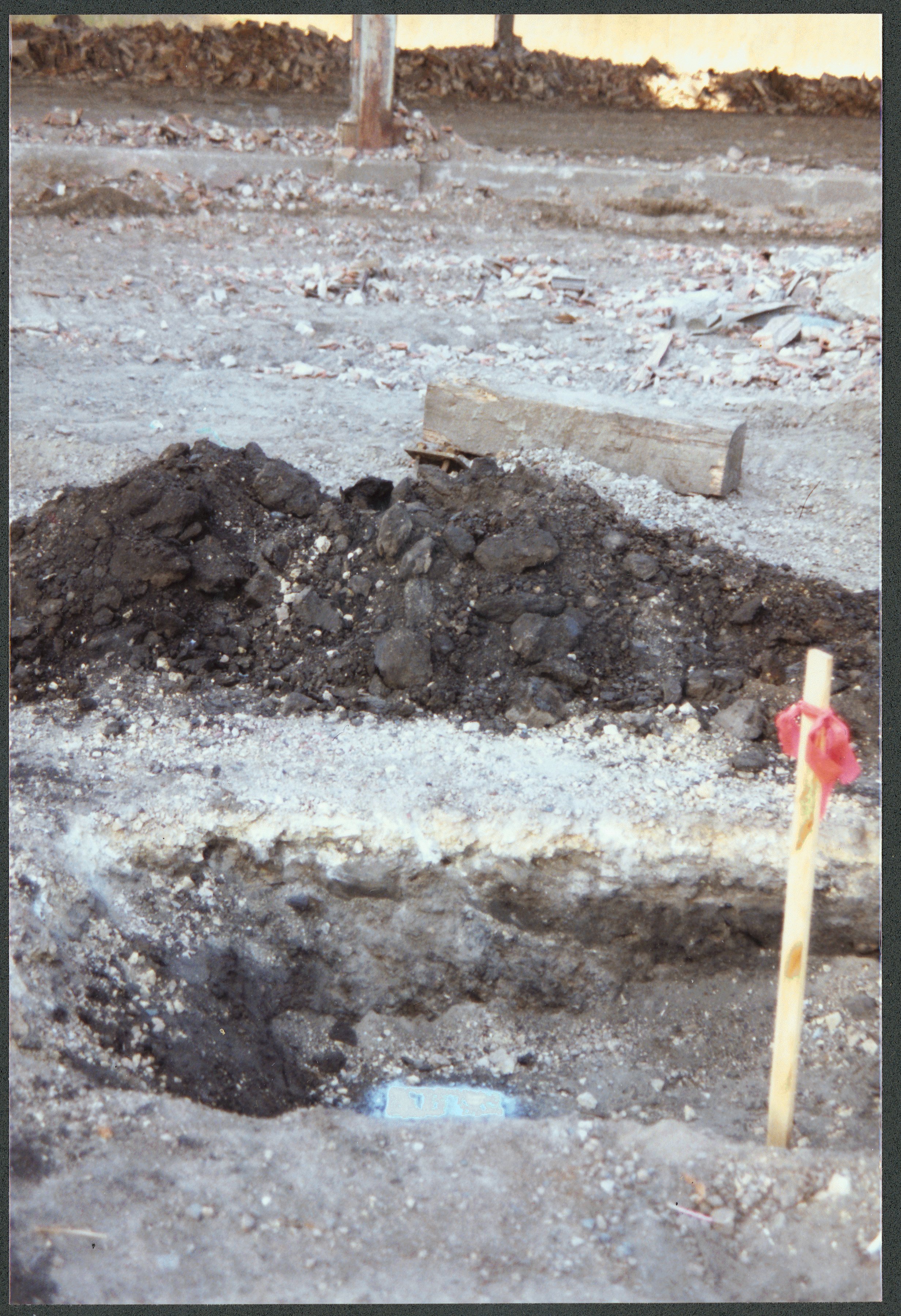
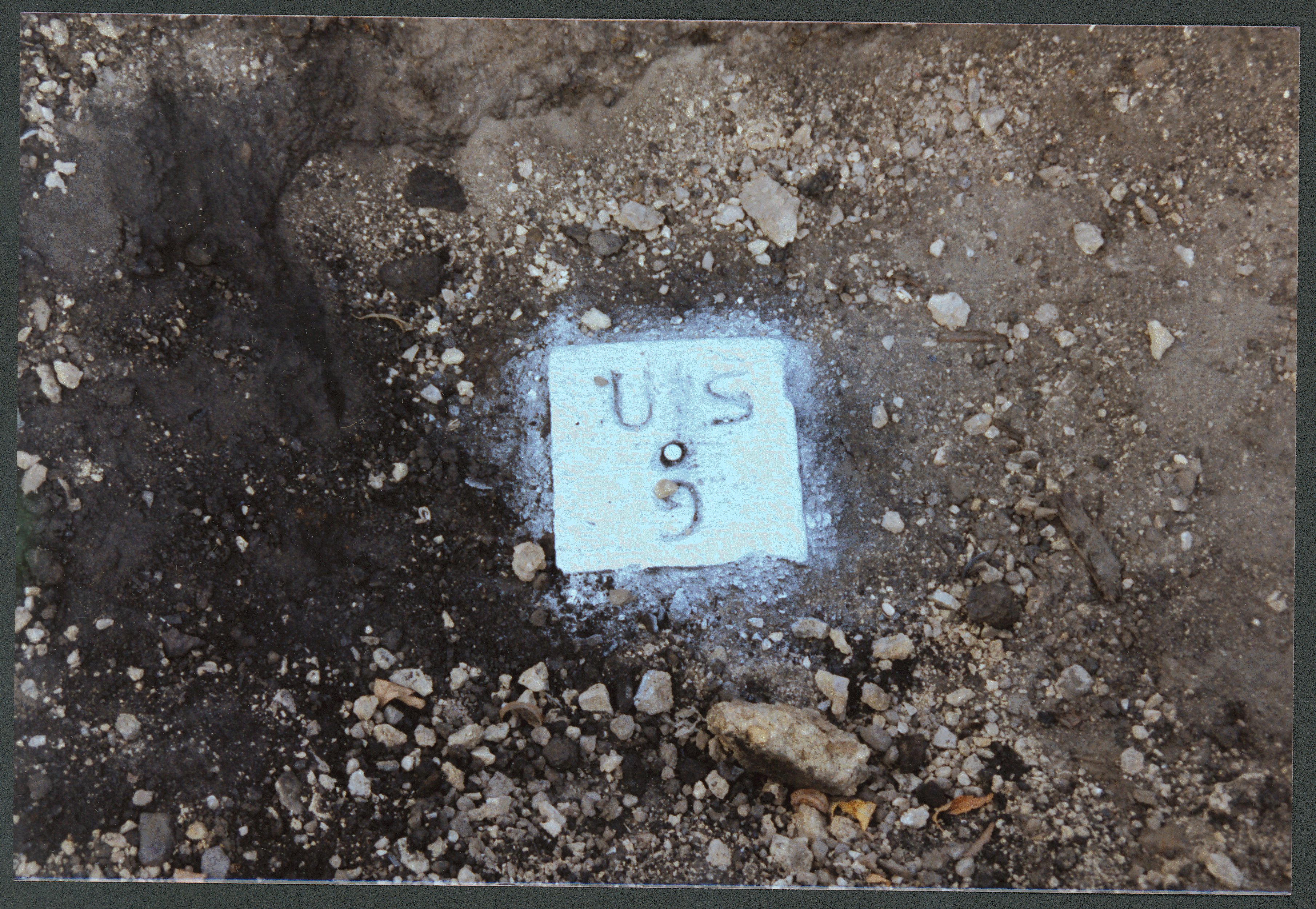
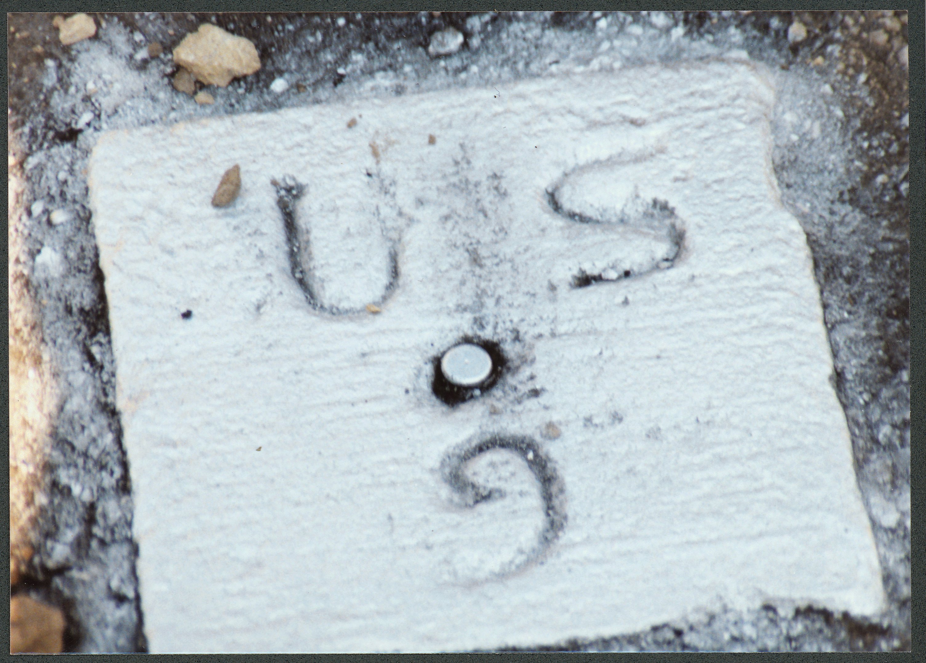
| 1970-US9_-2.jpg | October 1, 1990 | Close up of monument. |
| 1970-US9_-1.jpg | October 1, 1990 | Close up of monument. |