| NAD83 COORDINATES (1986 adj.): |
|---|
| * X= 594918.611 Y= 136545.194 Z= 000.00 LSQ 12/06/1991 S FLT |
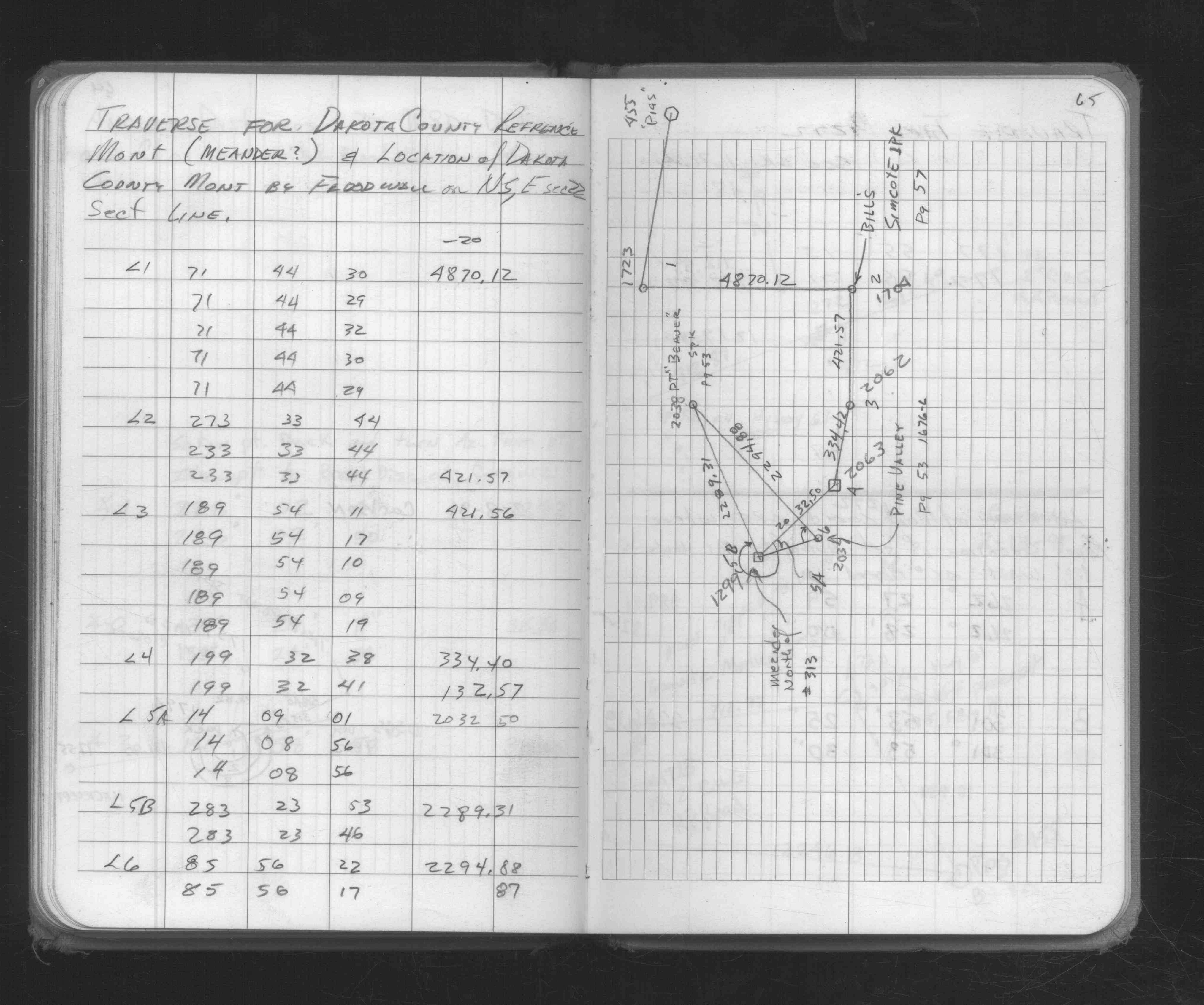
| 2/11/1991 | Traversed through monument. See fb1676C p.65 |
Above is NOT an all inclusive history of this point. Please review all the links below.
| PLS NOTES | Field | Cross Section | Sewer | J.B. Irvine | Monument | River Survey |
|---|---|---|---|---|---|---|
| FB 1676Cp.65 |