| NAD83 COORDINATES (1986 adj.): |
|---|
| X= 581515.47 Y= 150330.10 Z= 729.9 11/19/2004 S RTK-VRS |
| X= 581515.389 Y= 150329.996 Z= 000.00 LSQ 12/06/1991 S FLT |
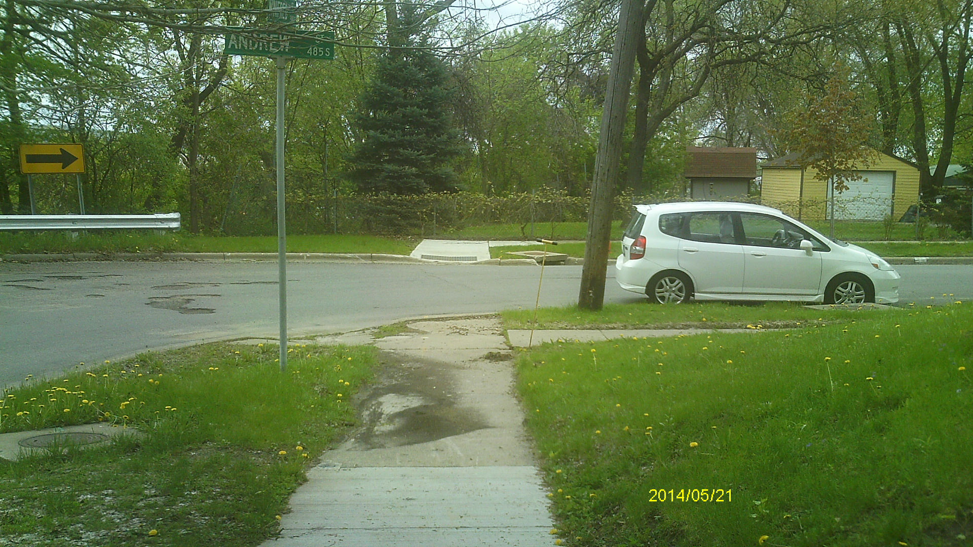
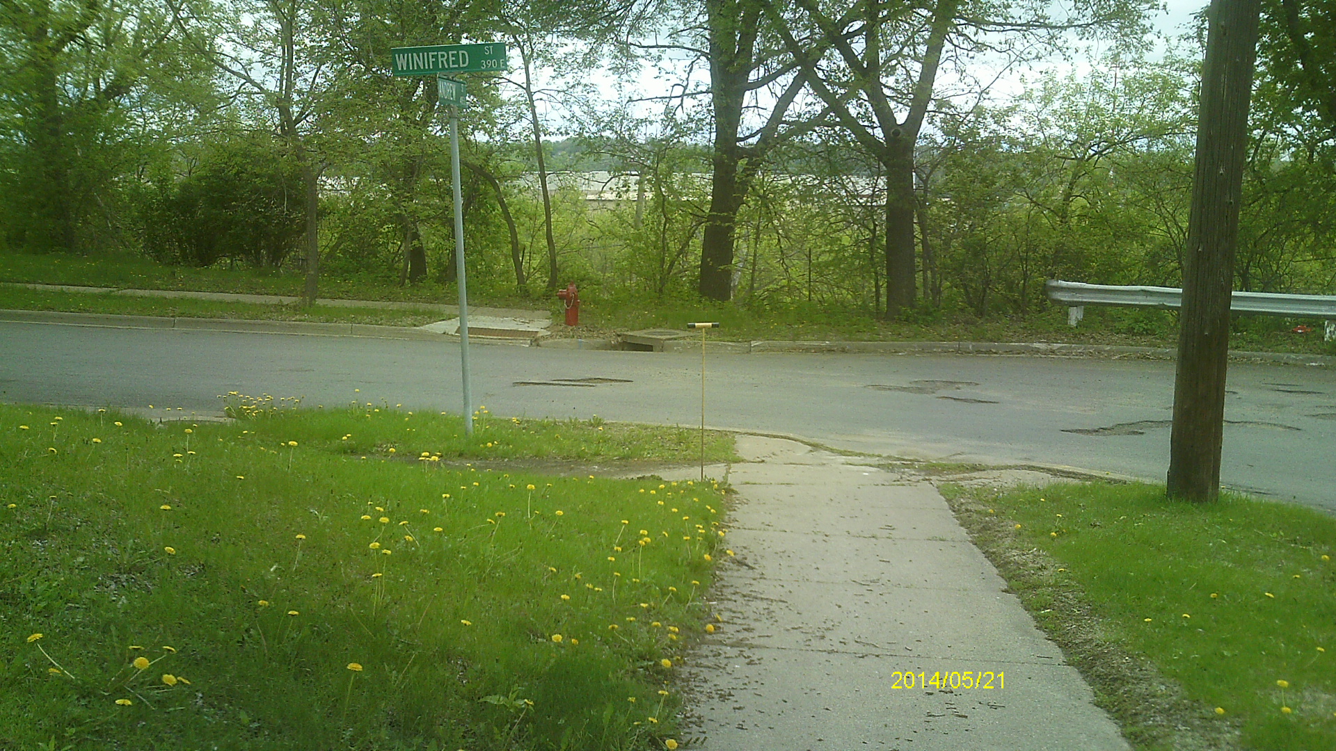
| 5/21/2014 | Found GM 0.1 ft below sidewalk grade. Photos taken. |
| 2/12/2007 | Photos taken. |
| 2/9/2007 | Fd GM at grade at sidewalk intersections. Placed ties. See CofL 2107-1965-A |
| 11/19/2004 | Fd GM, Elev 35.9 ft by GPS. |
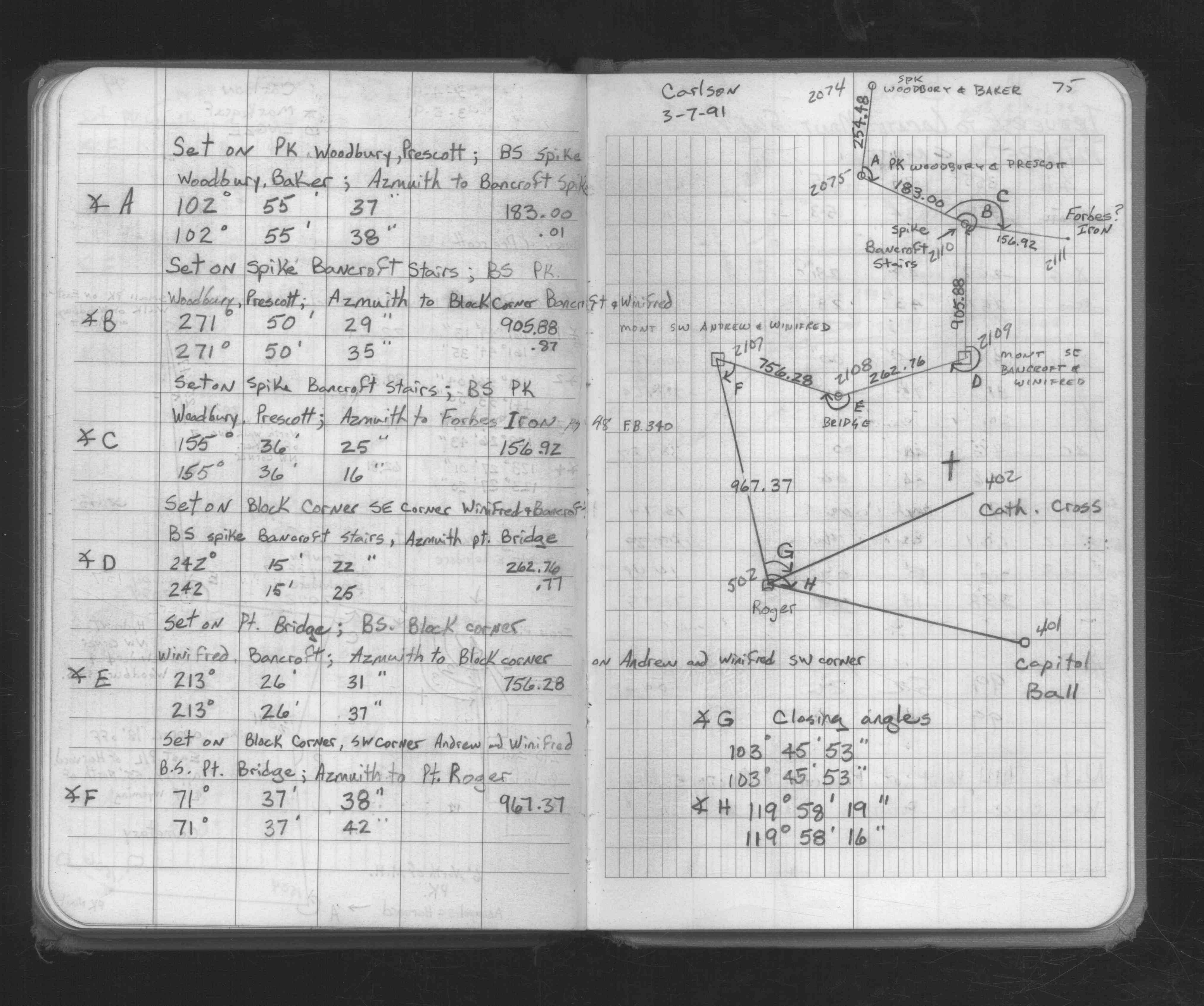
| 3/7/1991 | Traversed through monument. See FB 1676C p.75 |
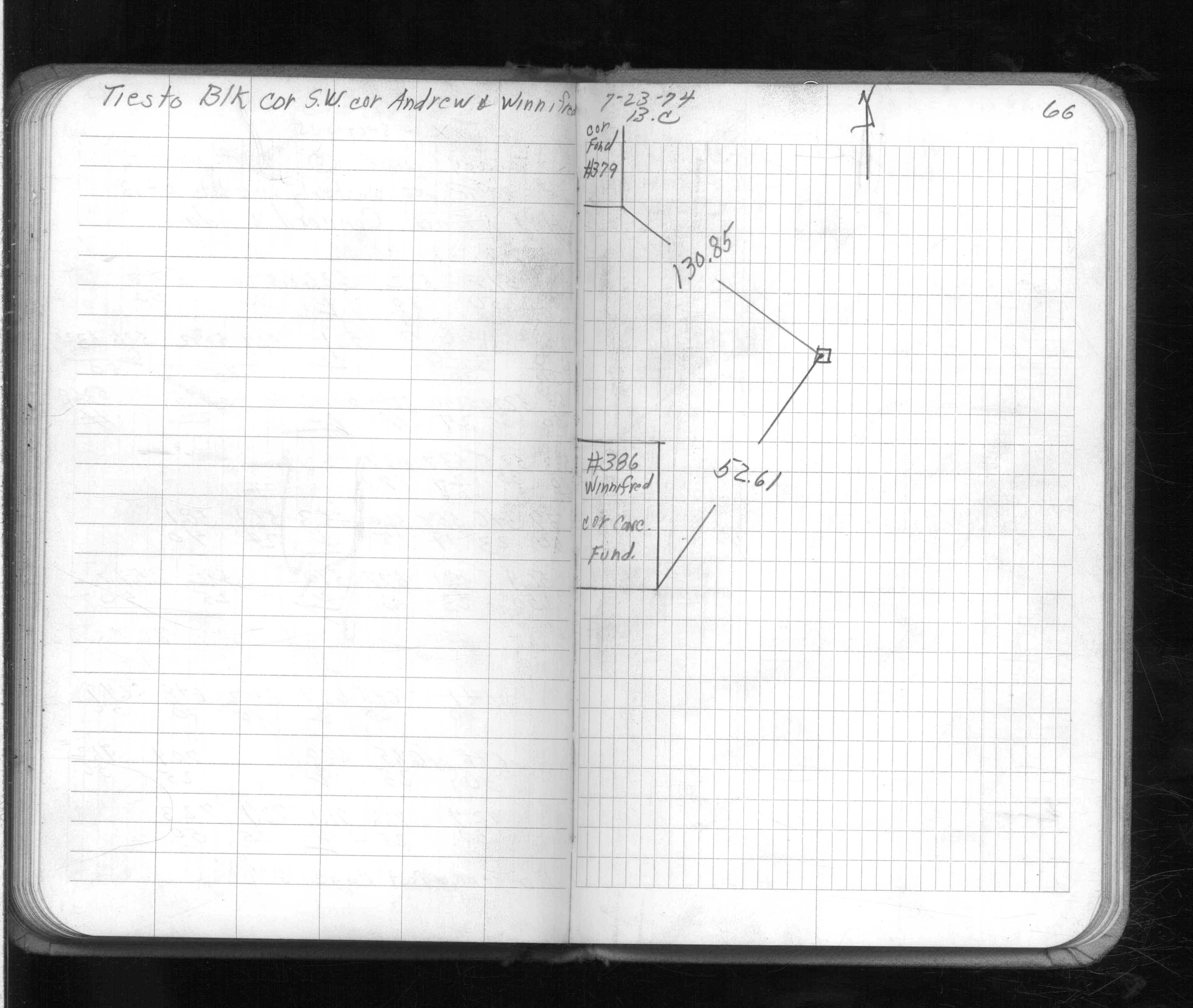
| 9/24/1974 | CIM cap set over GM. See FB 1581E p.66 |
| 7/23/1974 | Placed ties on monument. See FB 1581E p.66 |
| 10/27/1890 | Monument set by J H Armstrong. See Old Index Book, Entry 1965 |
Above is NOT an all inclusive history of this point. Please review all the links below.
| PLS NOTES | Field | Cross Section | Sewer | J.B. Irvine | Monument | River Survey |
|---|---|---|---|---|---|---|
| FB 1581Ep.66 | ||||||
| FB 1676Cp.75 |
| FILE | SURVEYOR | LIC. NO. | DATE SIGNED | DATE TIED |
|---|---|---|---|---|
| 2107-1965-A.tif | none | none | none | February 9, 2007 |
| FILE | PHOTO DATE | COMMENTS |
|---|---|---|
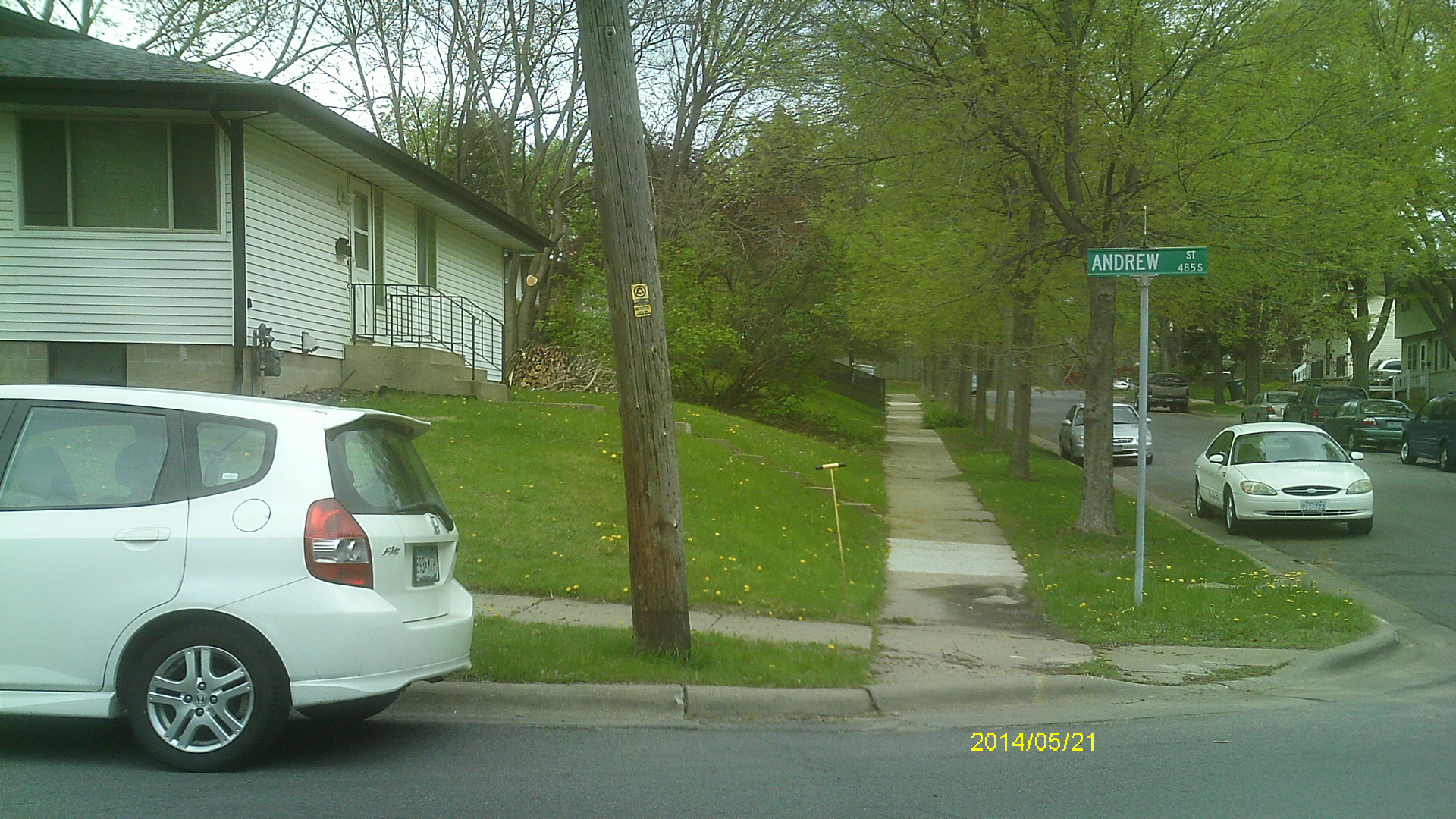
| 2107-1965-9.jpg | May 21, 2014 | Looking east across Andrew St. |
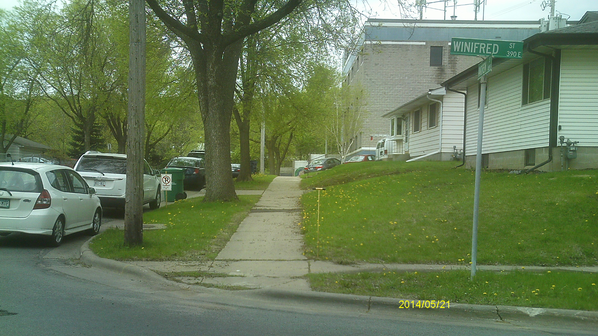
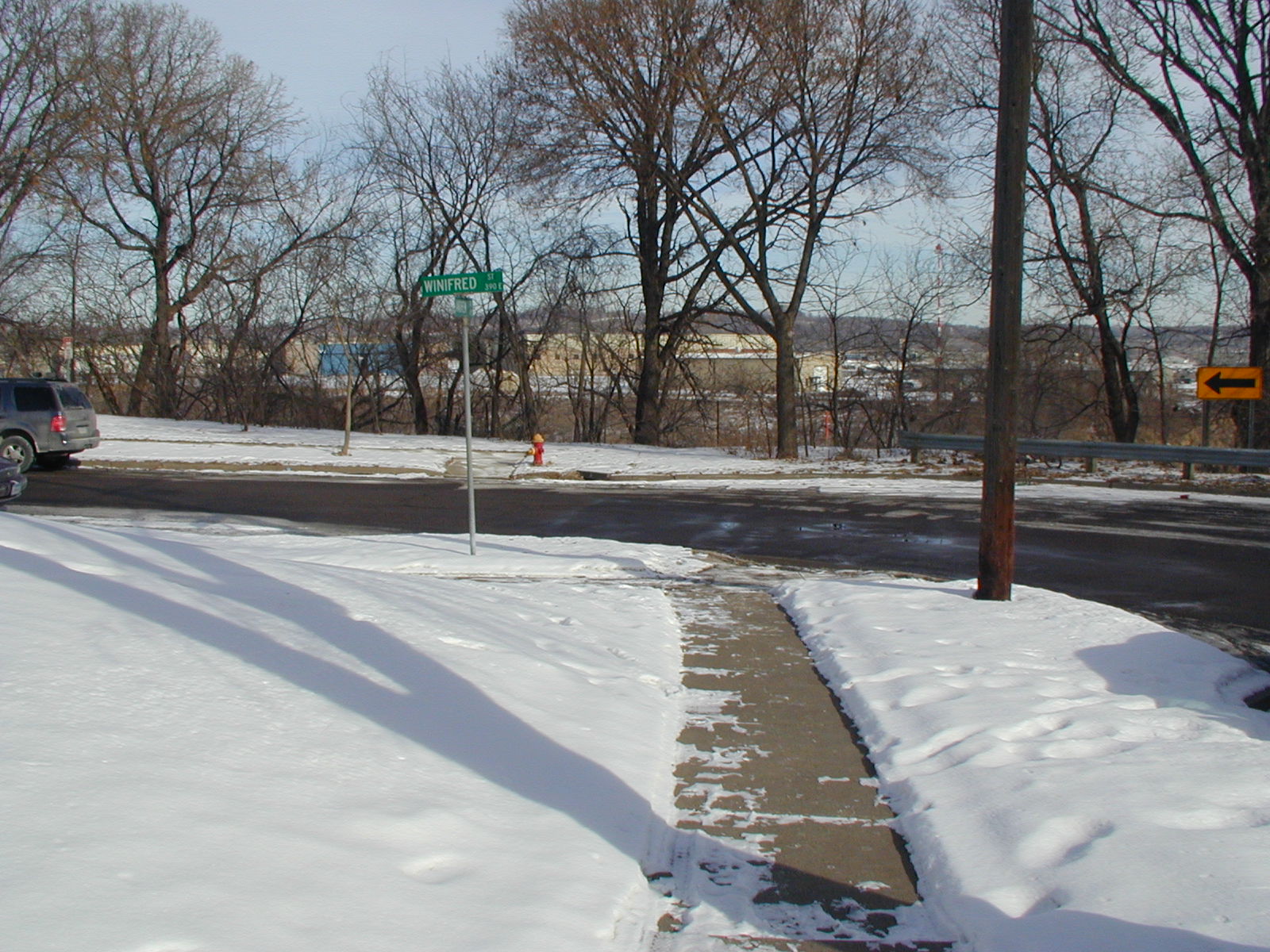
| 2107-1965-8.jpg | May 21, 2014 | Looking north across Winifred St. |
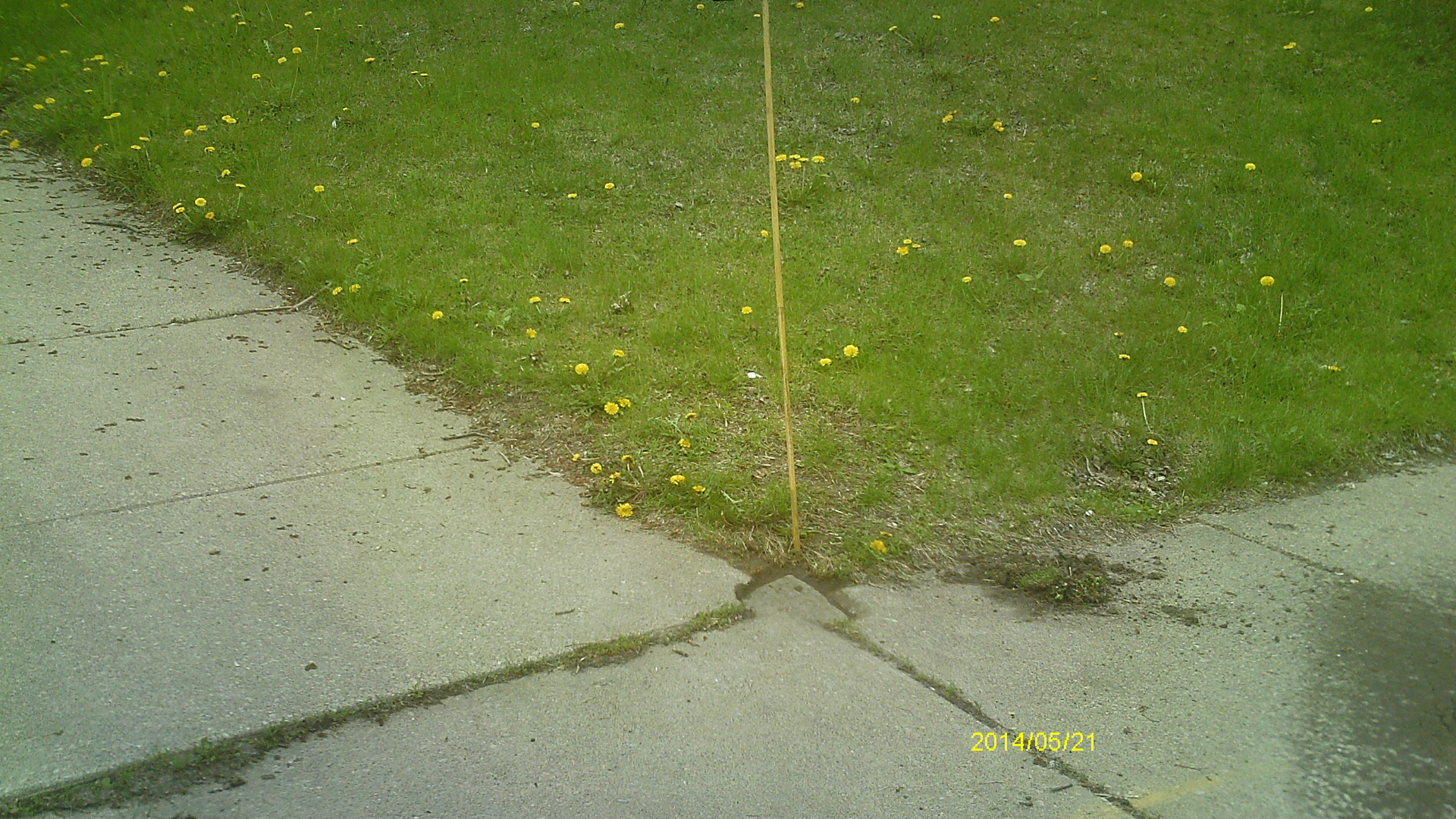
| 2107-1965-7.jpg | May 21, 2014 | Close up of monument location. |
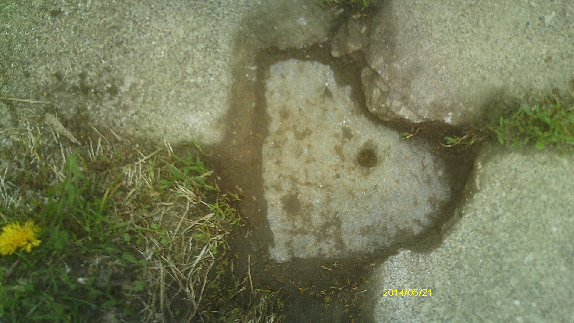
| 2107-1965-6.jpg | May 21, 2014 | Close up of monument. |
| 2107-1965-11.jpg | May 21, 2014 | Looking west along Winifred St. |
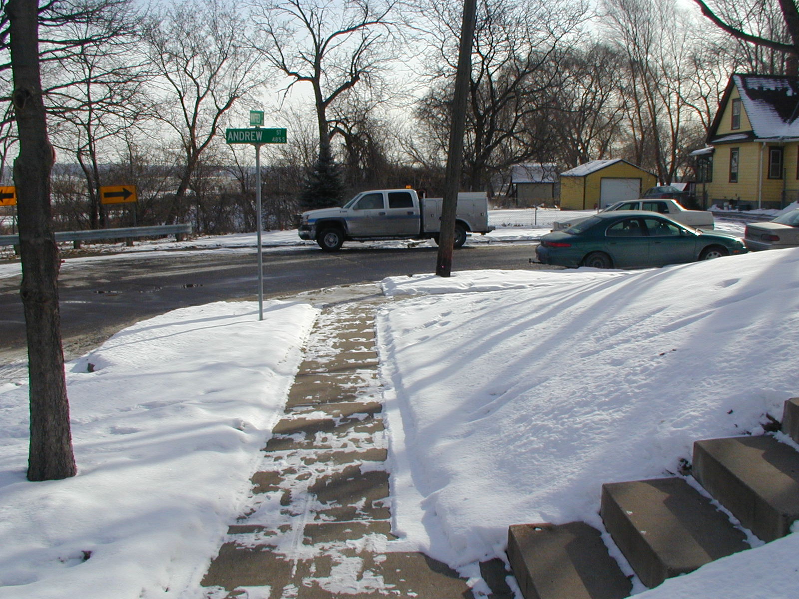
| 2107-1965-10.jpg | May 21, 2014 | Looking south along Andrew St. |
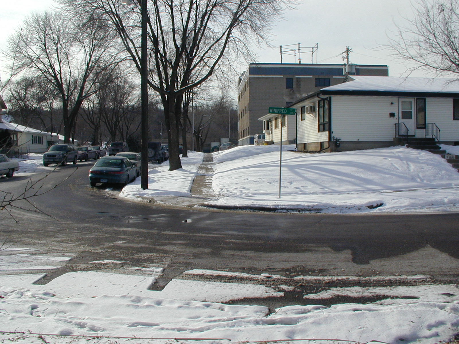
| 2107-1965-5.jpg | February 12, 2007 | Looking West along the South side of Winifred St. |
| 2107-1965-4.jpg | February 12, 2007 | Looking South along the West side of Andrew St. |
| 2107-1965-3.jpg | February 12, 2007 | Looking East along the South side of Winifred St. |
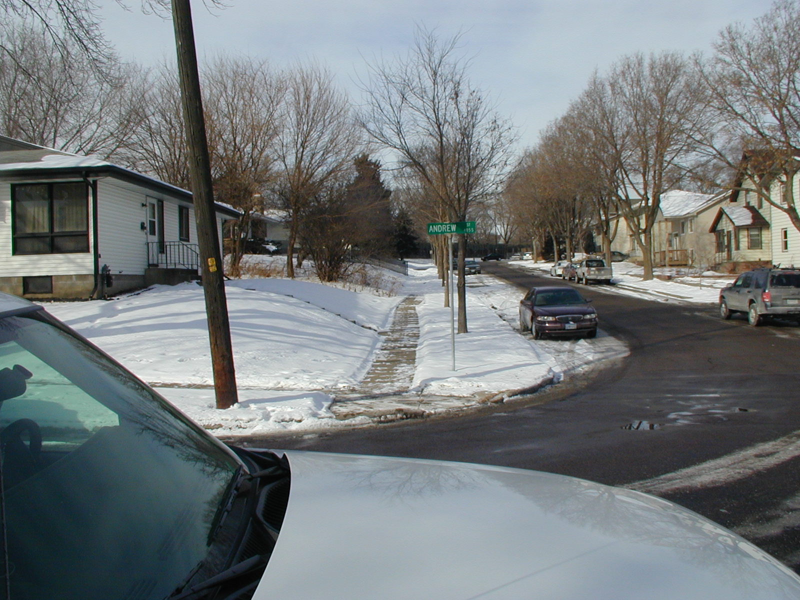
| 2107-1965-2.jpg | February 12, 2007 | Looking North along the West side of Andrew St. |
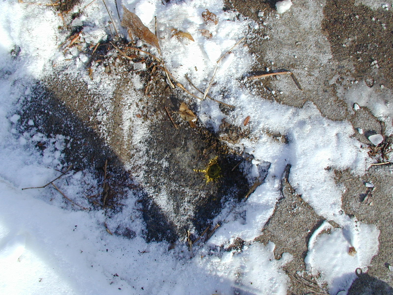
| 2107-1965-1.jpg | February 12, 2007 | Close-up of the GM. |