| NAD83 COORDINATES (1986 adj.): |
|---|
| * X= 563892.302 Y= 167520.063 Z= 000.00 CPS 10/05/1992 FLT |
| 10/26/2006 | Fd GM 0.2 ft below grass grade. Place steel guard post and sign 1.0 ft N. of GM. |
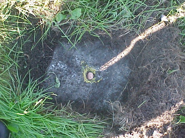
| 9/9/2002 | Fd GM 0.2 ft below grass grade. Placed magnet in GM. GM Elev 205.94 ft. See CofL 2405-1342-A |
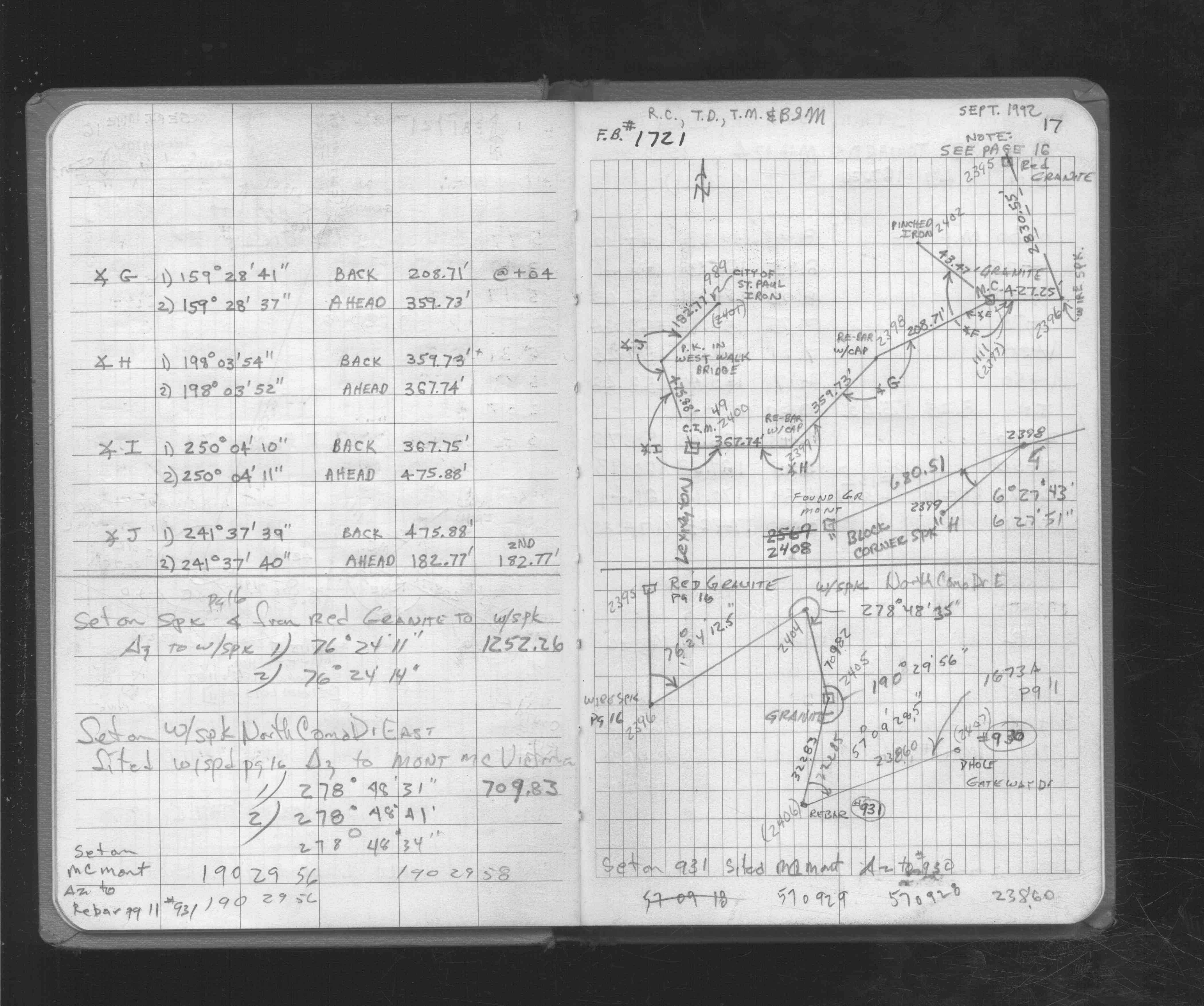
| 9/1/1992 | (Unknown date Sep __, 1992 ) Recovered & located by traverse GM Witness Corner. See FB 1721 p.17 |
| 1/1/1887 | (Unknown date ___ __, 1887 ) Monument set by J H Armstrong |
Above is NOT an all inclusive history of this point. Please review all the links below.
| PLS NOTES | Field | Cross Section | Sewer | J.B. Irvine | Monument | River Survey |
|---|---|---|---|---|---|---|
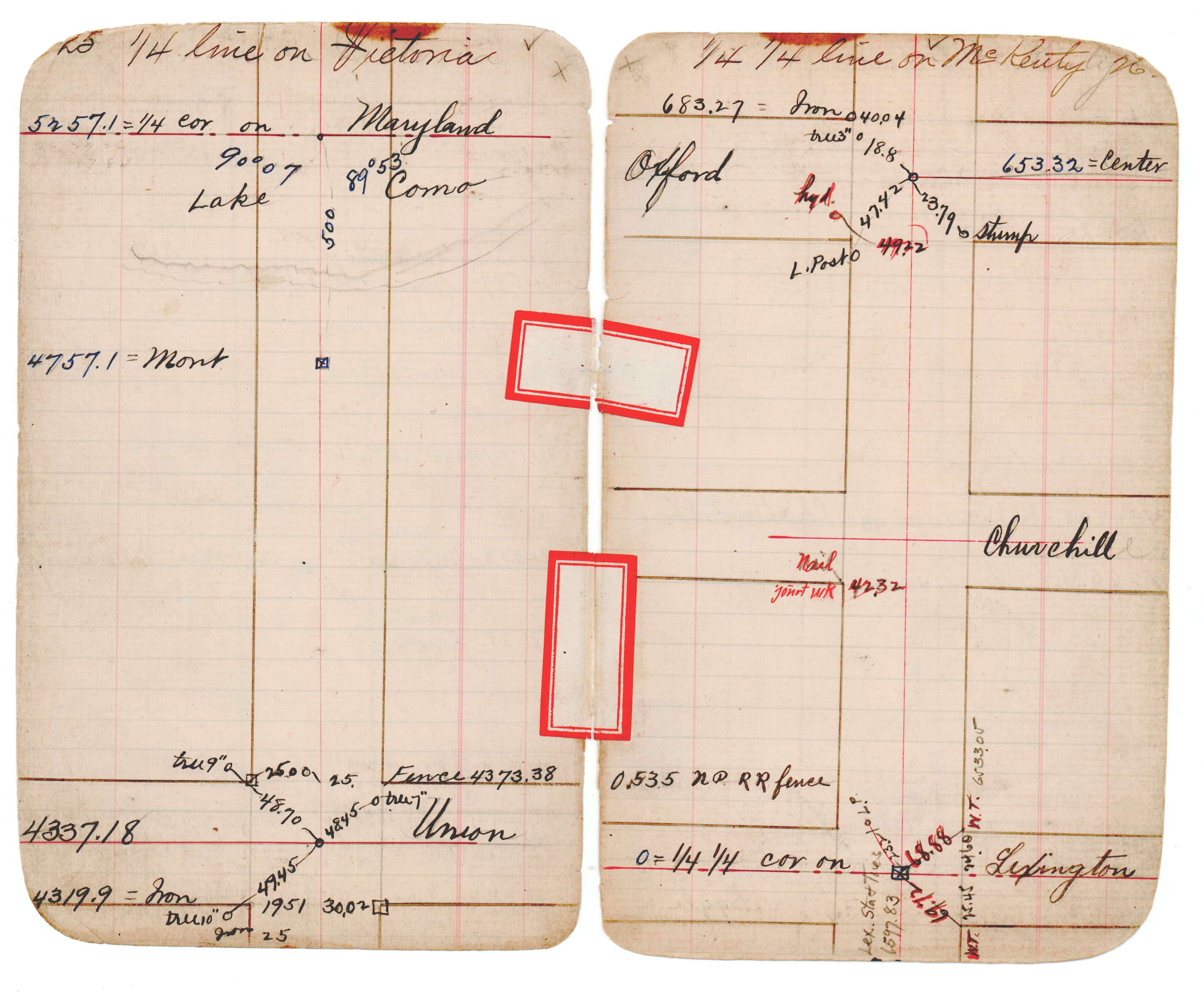
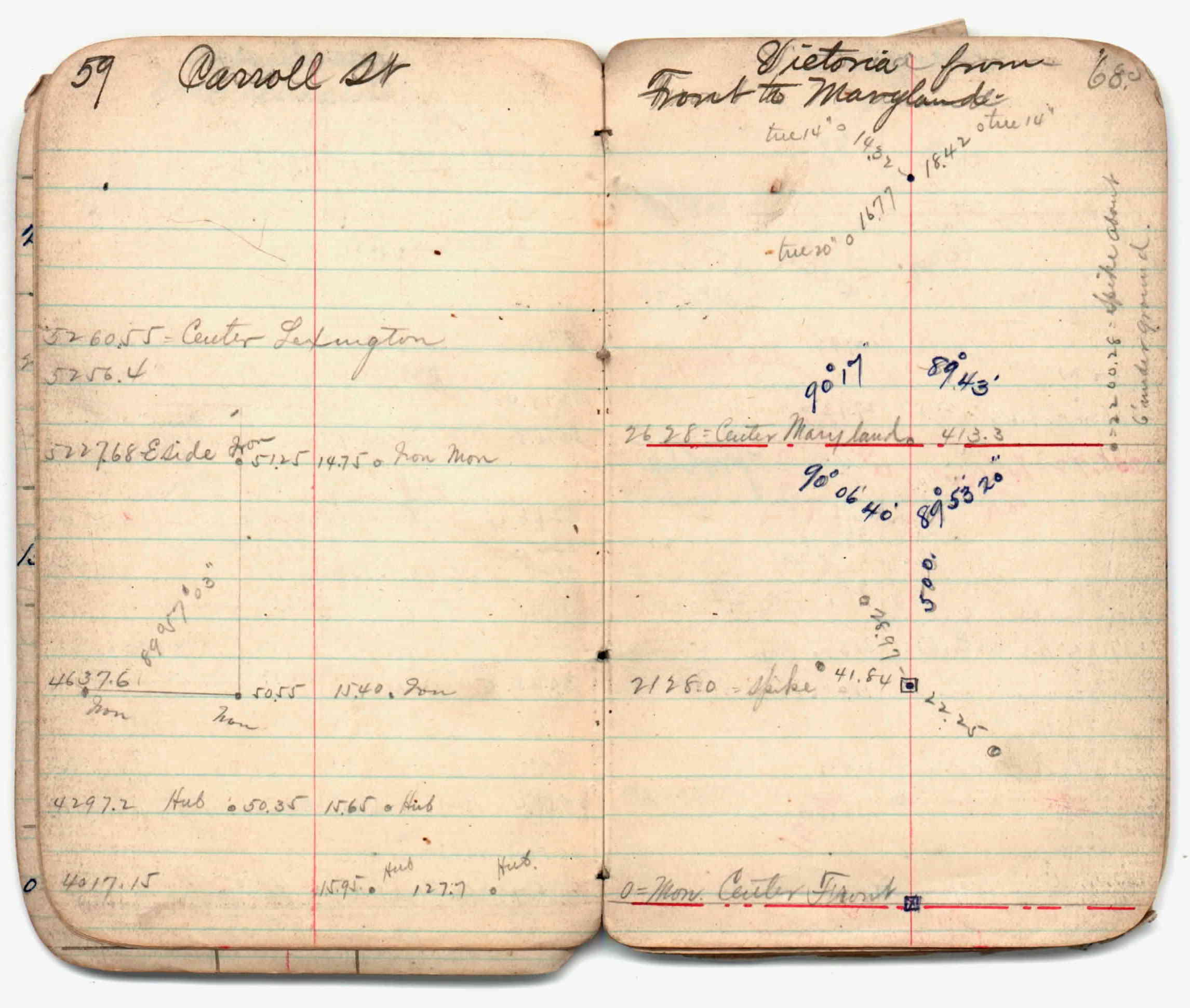
| FB 1721p.17 | JBI 16 p.09-10 JBI 16 p.25-26 | |||||
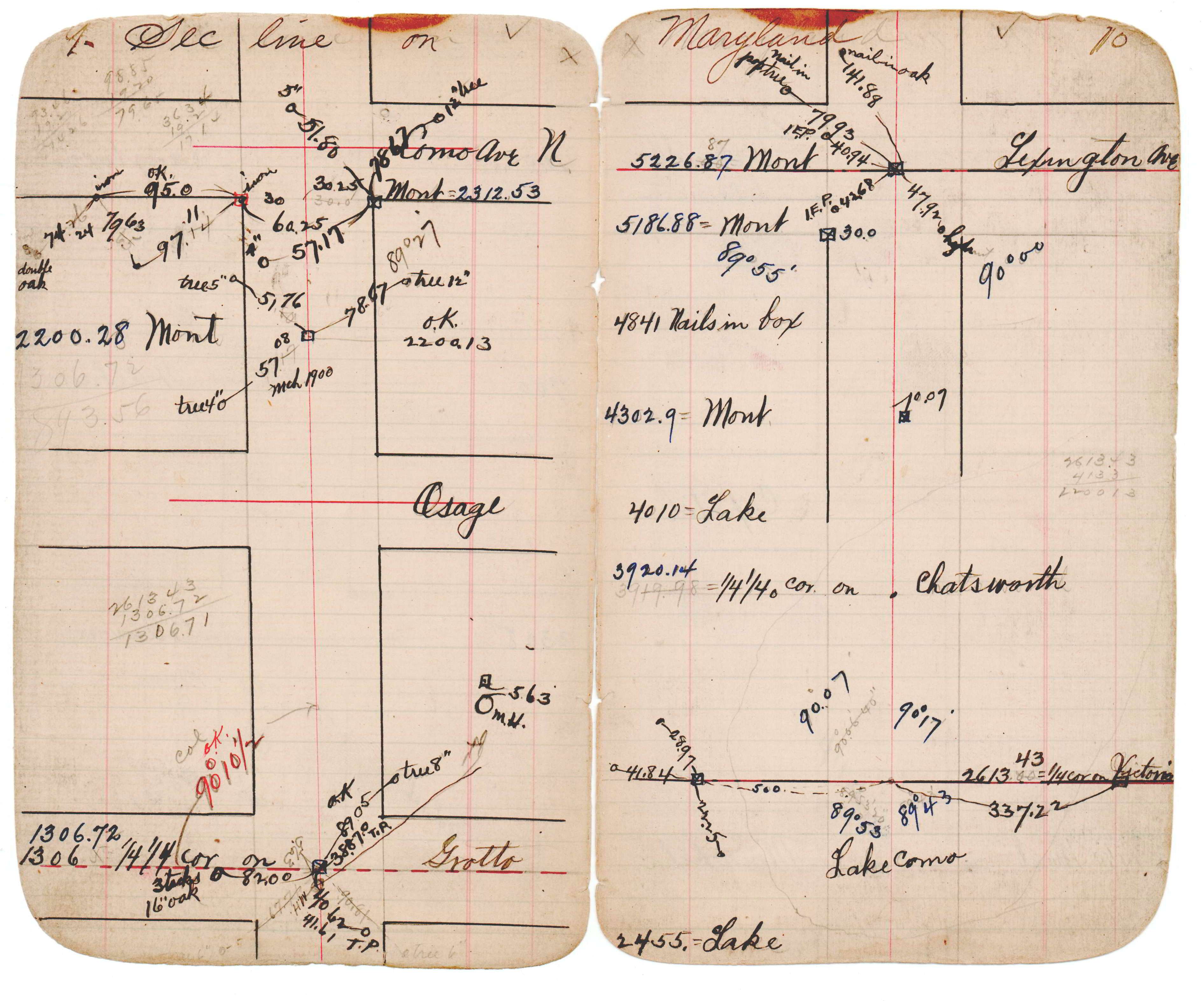
| FB 1721p.17 | JBI 02 p.59-60 |
| FILE | SURVEYOR | LIC. NO. | DATE SIGNED | DATE TIED |
|---|---|---|---|---|
| 2405-1342-A.tif | Jeffery L. Grosso | 13144 | September 9, 2002 | September 9, 2002 |
| FILE | PHOTO DATE | COMMENTS |
|---|---|---|
| 2405-1342-6.jpg | September 11, 2002 | Looking southerly. |
| 2405-1342-5.jpg | September 11, 2002 | Looking easterly, power pole tie point directly behind jeff. |
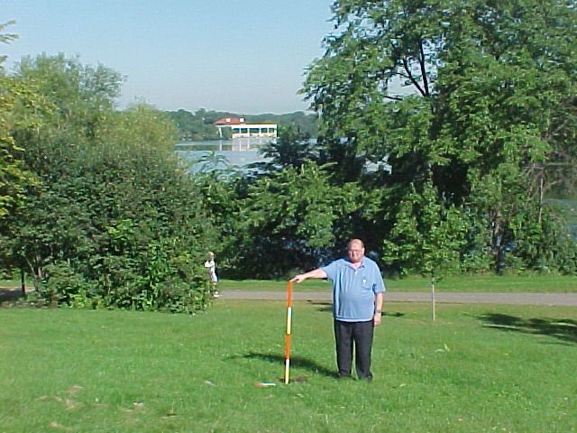
| 2405-1342-4.jpg | September 11, 2002 | Looking northerly across Lake Como, light standard tie point. |
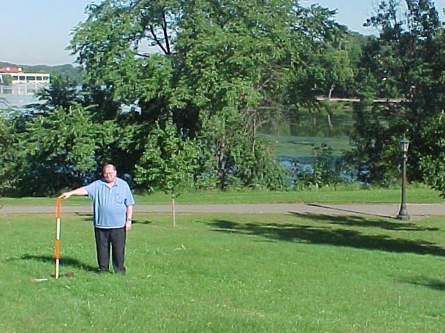
| 2405-1342-3.jpg | September 11, 2002 | Looking northerly across Lake Como. |
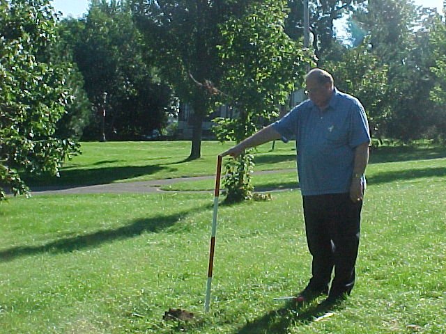
| 2405-1342-2.jpg | September 11, 2002 | Looking west. |
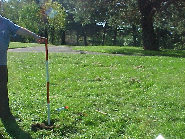
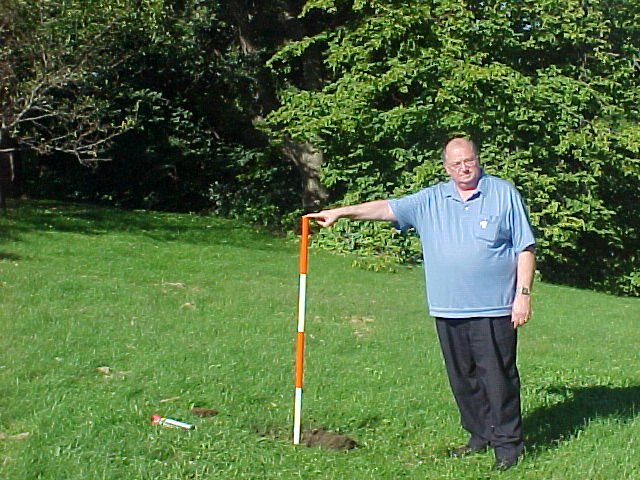
| 2405-1342-1.jpg | September 11, 2002 | Close up of GM. |
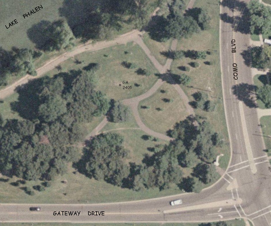
| 2405-1342-0.jpg | July 1, 2000 | Aerial view of GM location. |