| NAD83 COORDINATES (1986 adj.): |
|---|
| X= 561840.510 Y= 171335.540 Z= 000.00 UAJ 12/16/1992 FLT |
| 9/10/2002 | Fd pk nail with 2 ft straddles. Place CIM at grade. See CofL 2410-1329-A |
| 9/1/1999 | (Unknown date Sep __, 1999 ) GM removed during street construction. |
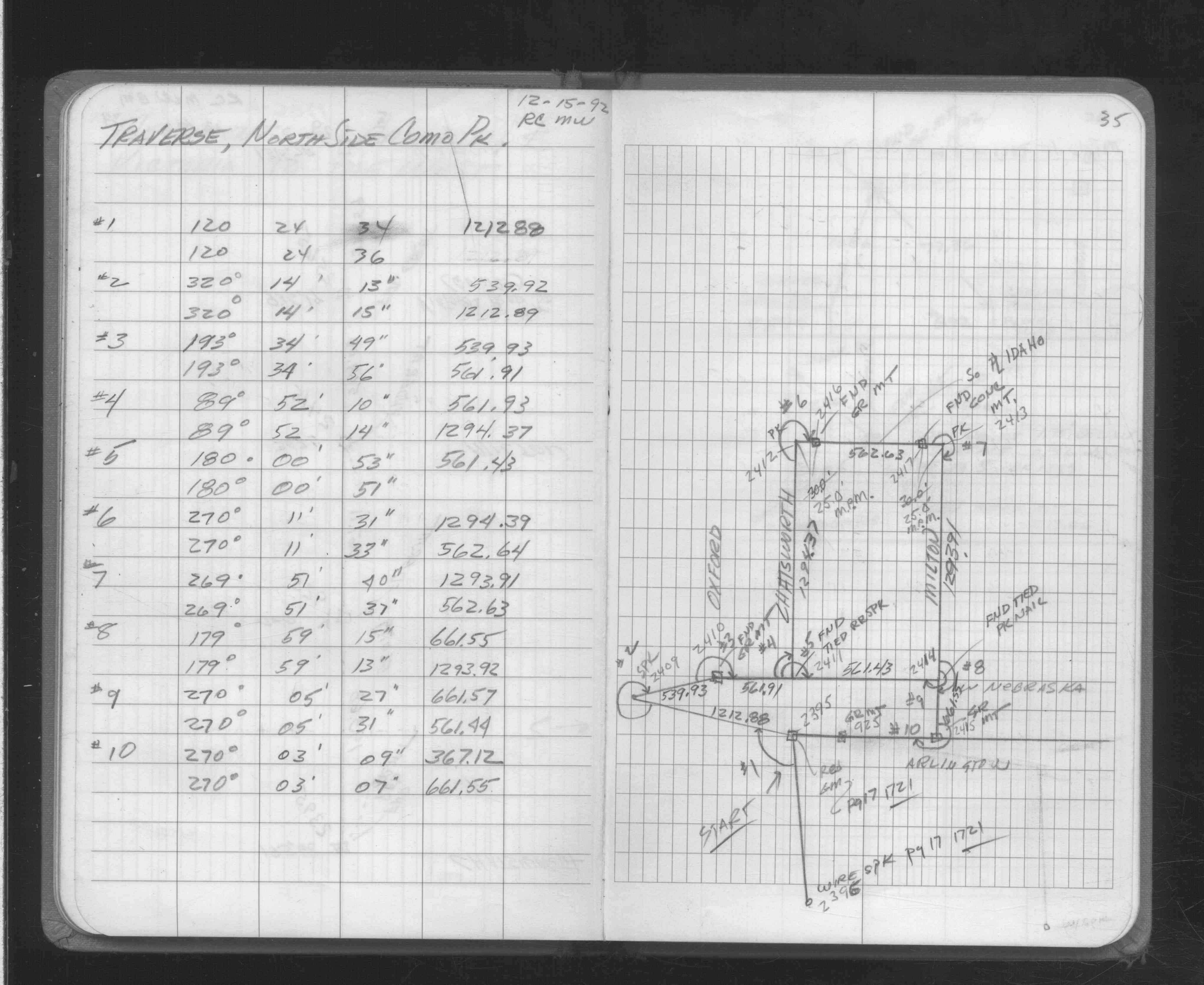
| 12/15/1992 | Located GM by traverse. See FB 1706A p.35 |
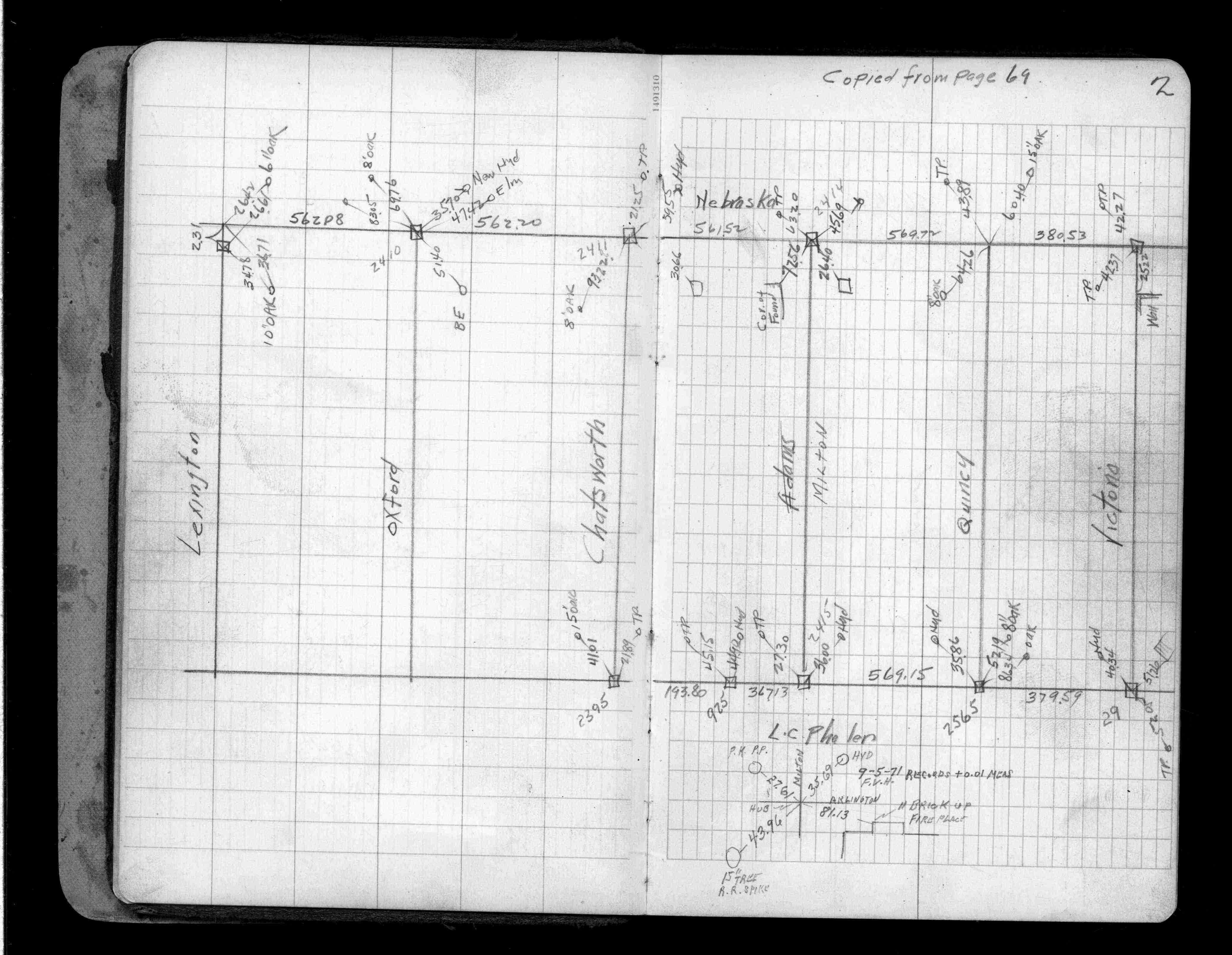
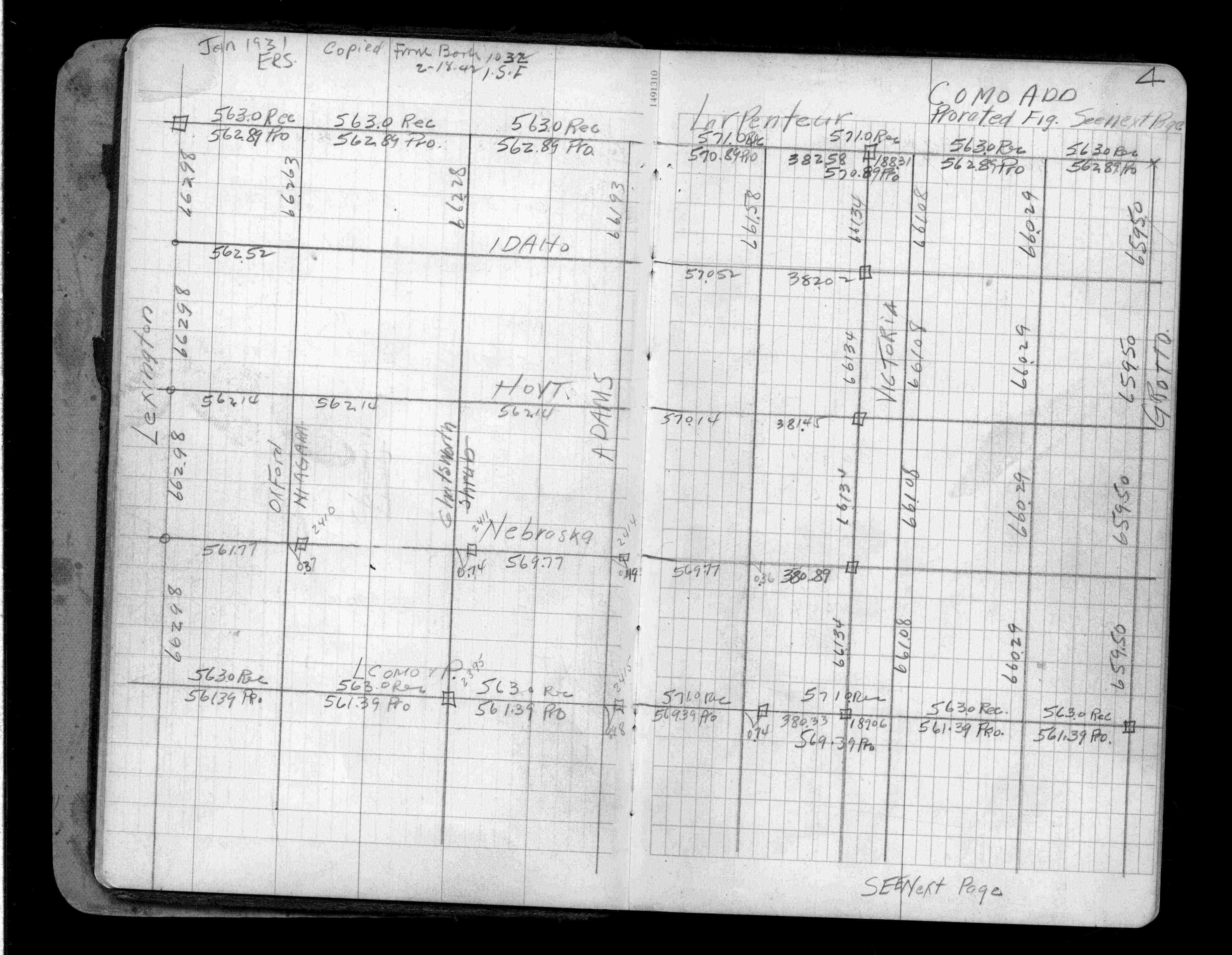
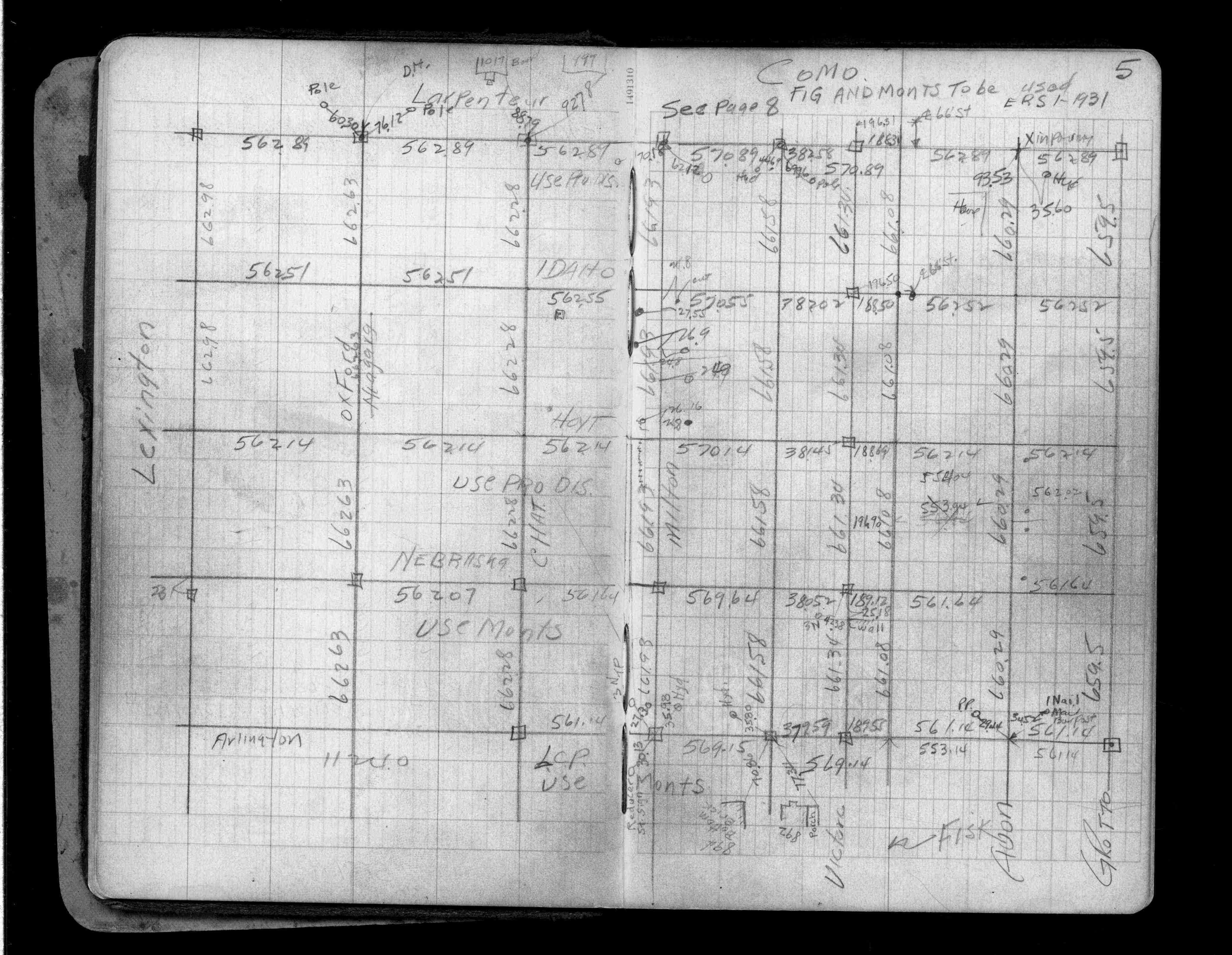
| 12/1/1939 | (Unknown date Dec __, 1939 ) Placed ties. See FB 1357 p.2 |
| 6/1/1888 | (Unknown date Jun __, 1888 ) Monument set by J H Armstrong |
| 1/1/1800 | (Unknown date ___ __, 18?? ) Elev 226.530 ft on GM. See Old Benches Book, Entry 1519 |
Above is NOT an all inclusive history of this point. Please review all the links below.
| PLS NOTES | Field | Cross Section | Sewer | J.B. Irvine | Monument | River Survey |
|---|---|---|---|---|---|---|
| FB 1357p.02 | ||||||
| FB 1357p. 02 ,04 ,05 | ||||||
| FB 1706Ap.35 |
| FILE | SURVEYOR | LIC. NO. | DATE SIGNED | DATE TIED |
|---|---|---|---|---|
| 2410-1329-A.tif | Jeffery L. Grosso | 13144 | September 13, 2002 | September 10, 2002 |
| FILE | PHOTO DATE | COMMENTS |
|---|---|---|
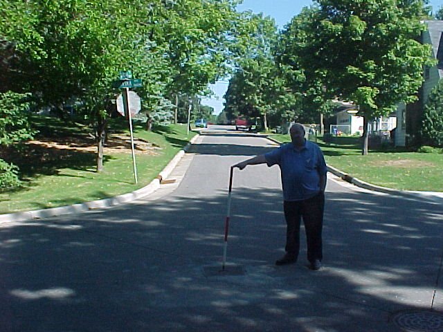
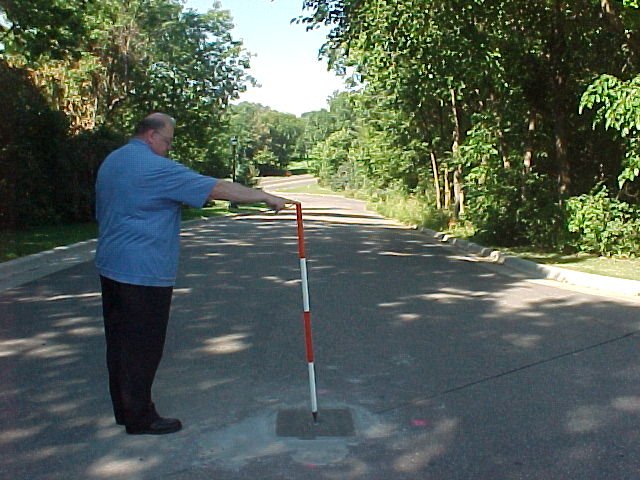
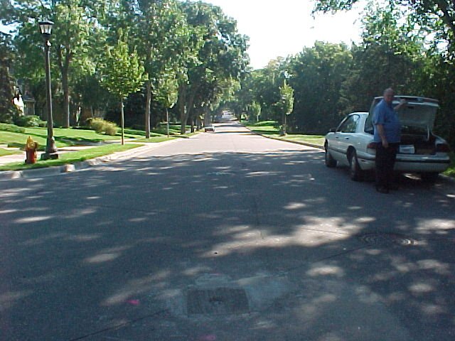
| 2410-1329-5.jpg | September 11, 2002 | Looking northeasterly. |
| 2410-1329-4.jpg | September 11, 2002 | Looking north along Oxford. |
| 2410-1329-3.jpg | September 11, 2002 | Looking west along Nebraska towards Como Park. |
| 2410-1329-2.jpg | September 11, 2002 | Looking east along Nebraska. |
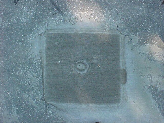
| 2410-1329-1.jpg | September 11, 2002 | Close up of CIM. |