| NAD83 COORDINATES (1986 adj.): |
|---|
| X= 562402.419 Y= 171332.046 Z= 000.00 UAJ 12/16/1992 FLT |
| 9/1/1999 | (Unknown date Sep __, 1999 ) RR spike removed during street construction. |
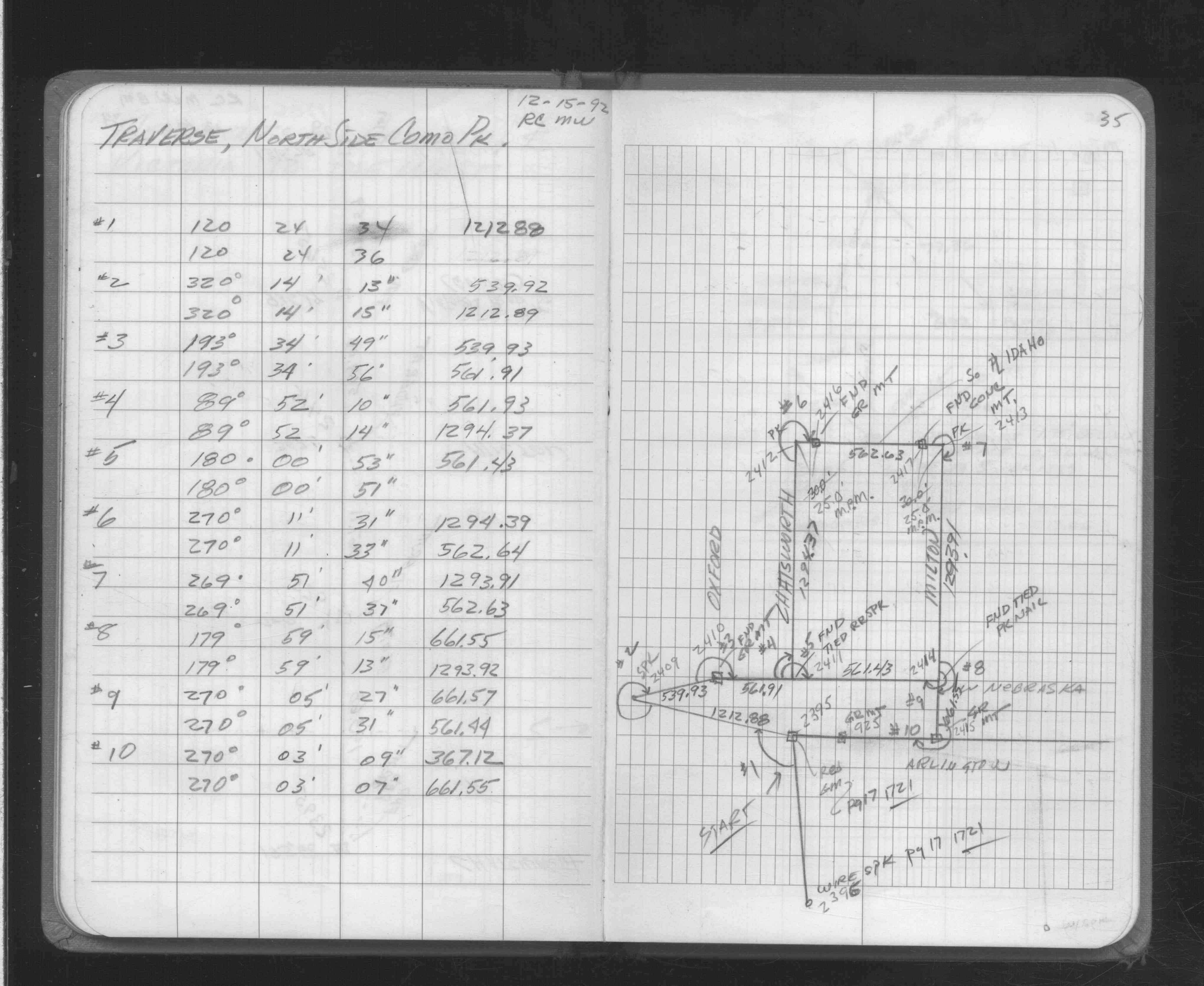
| 12/15/1992 | Traversed through RR spike. See FB 1706A p.35 |
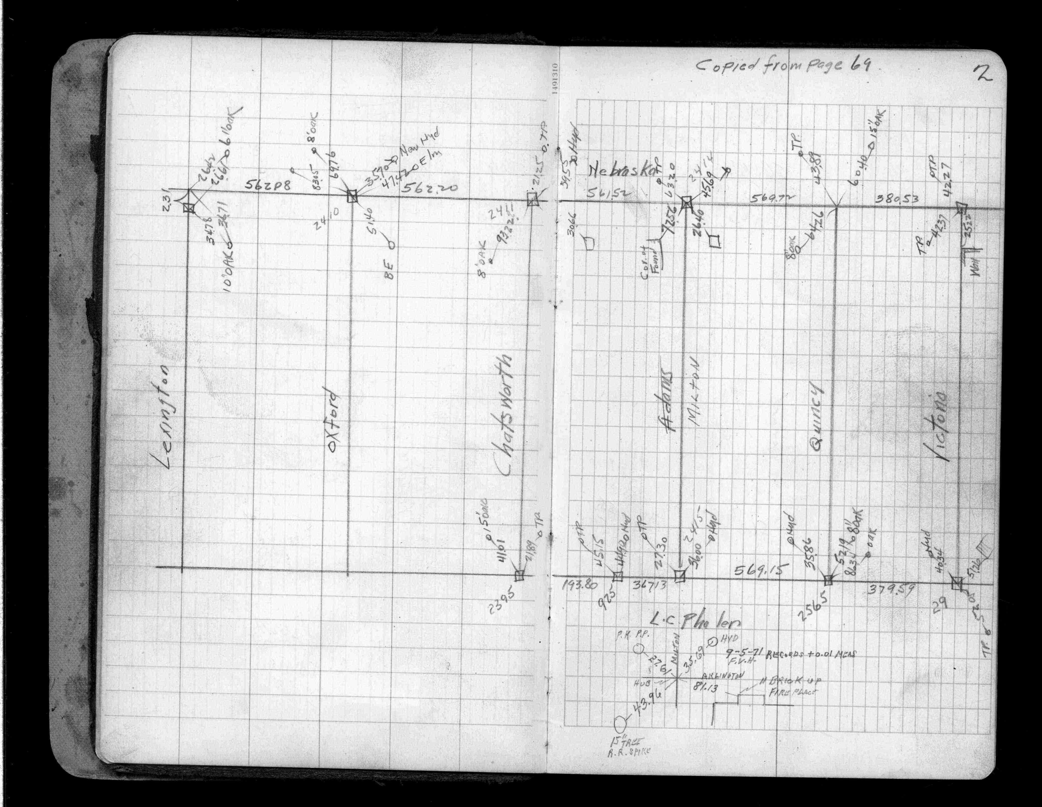
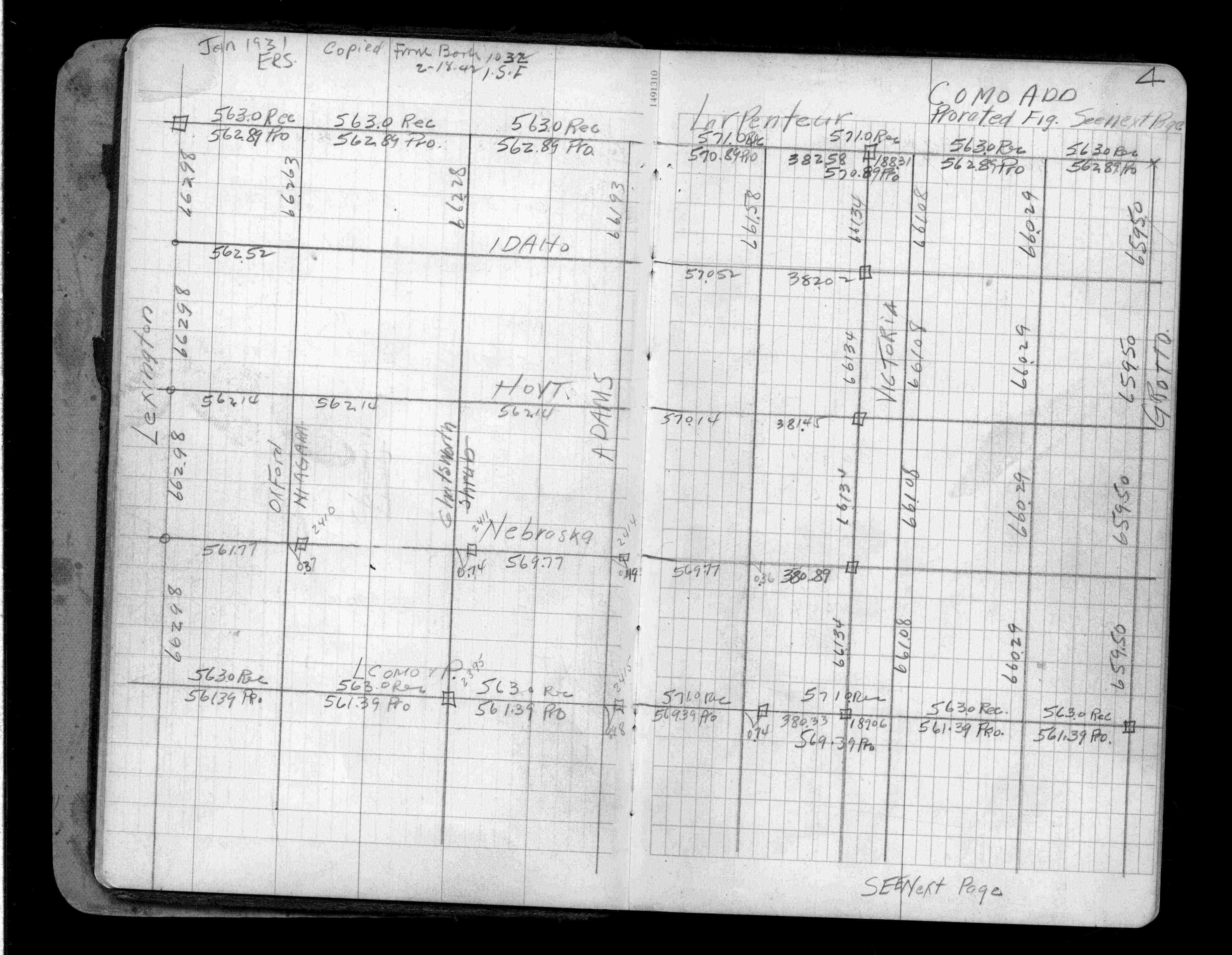
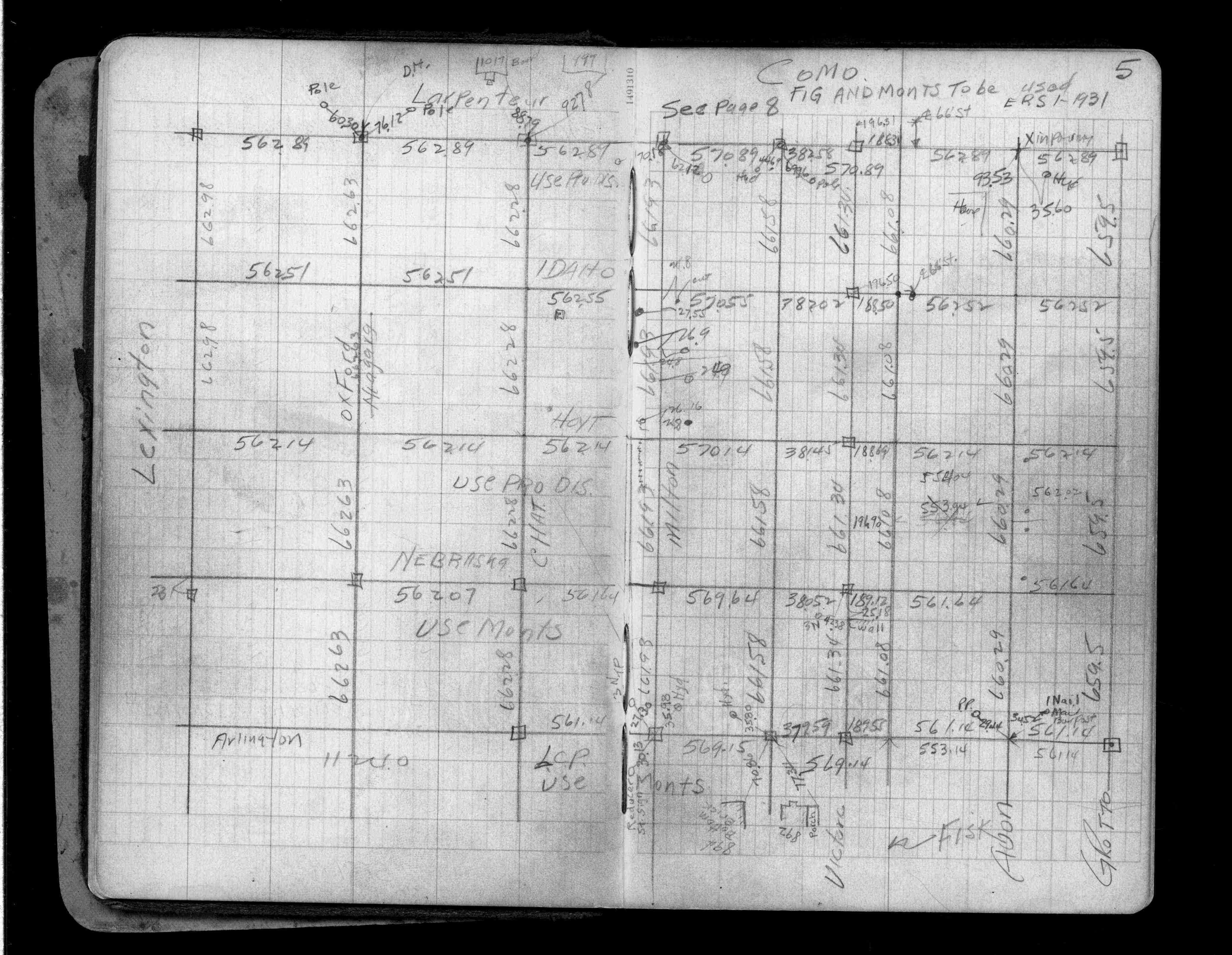
| 12/1/1939 | (Unknown date Dec __, 1939 ) Placed ties. See FB 1357 p.2 |
| 6/1/1888 | (Unknown date June __, 1888) Monument set by J H Armstrong. |
| 1/1/1800 | (Unknown date ___ __, 18?? ) Elev 219.040 ft on GM. See Old Benches Book, Entry 1515 |
Above is NOT an all inclusive history of this point. Please review all the links below.
| PLS NOTES | Field | Cross Section | Sewer | J.B. Irvine | Monument | River Survey |
|---|---|---|---|---|---|---|
| FB 1357p.02 | ||||||
| FB 1357p. 02 ,04 ,05 | ||||||
| FB 1706Ap.35 |