| NAD83 COORDINATES (1986 adj.): |
|---|
| X= 566677.267 Y= 151018.841 Z= 000.00 CPS 12/16/1993 |
| X= 566676.852 Y= 151018.347 Z= 788.4 01/17/2006 RTK-VRS |
| X= 566676.988 Y= 151018.361 Z= 000.00 LSQ 12/16/1994 FLT |
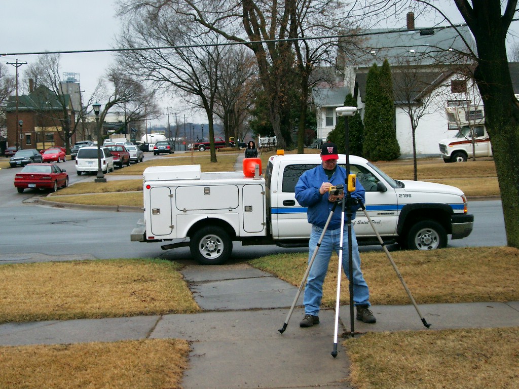
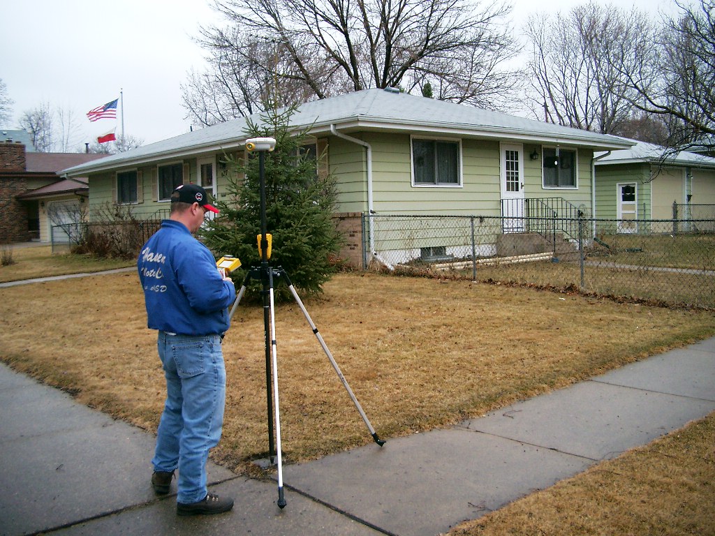
| 1/17/2006 | Position established by GPS RTK-VRS. |
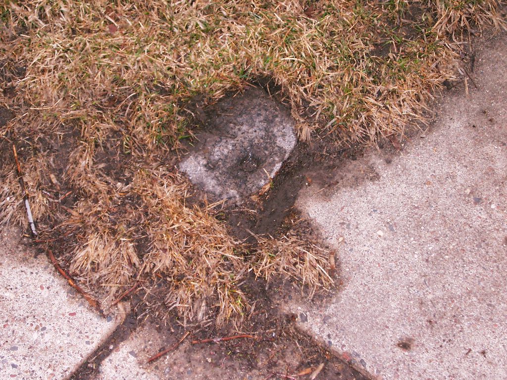
| 3/30/2005 | Photos taken of GM at grade. |
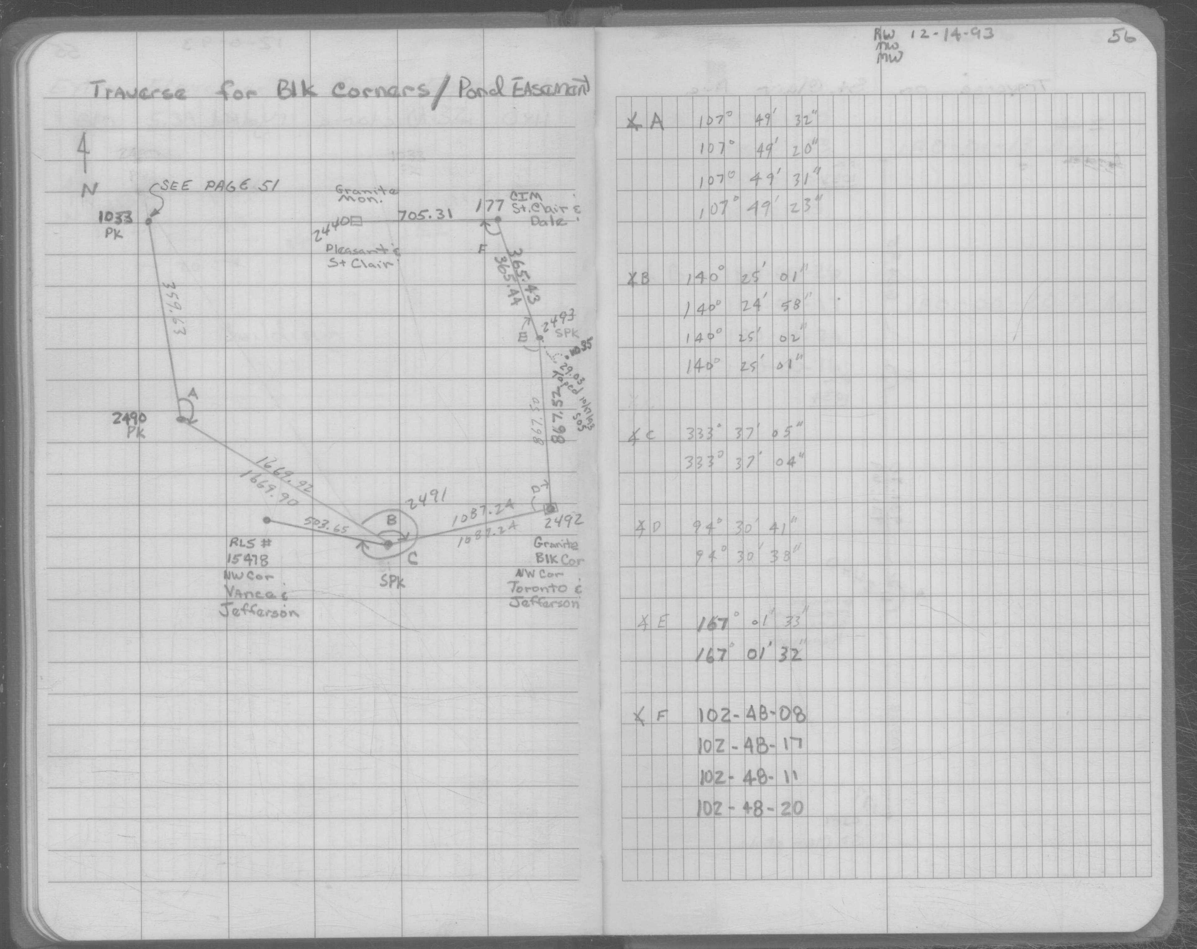
| 12/14/1993 | Position on GM established by field traverse. See SB 633A p.56 |
Above is NOT an all inclusive history of this point. Please review all the links below.
| PLS NOTES | Field | Cross Section | Sewer | J.B. Irvine | Monument | River Survey |
|---|---|---|---|---|---|---|
| SB 0633Ap.56 |
| FILE | PHOTO DATE | COMMENTS |
|---|---|---|
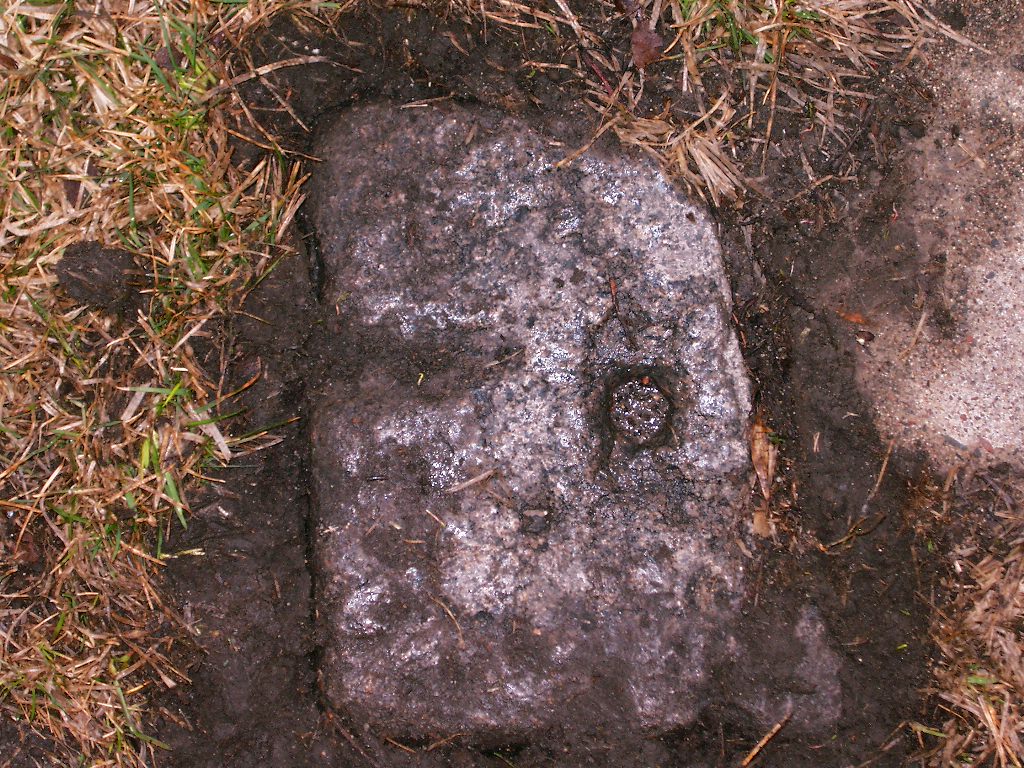
| 2492-0192-7.jpg | March 30, 2005 | Close-up of GM. |
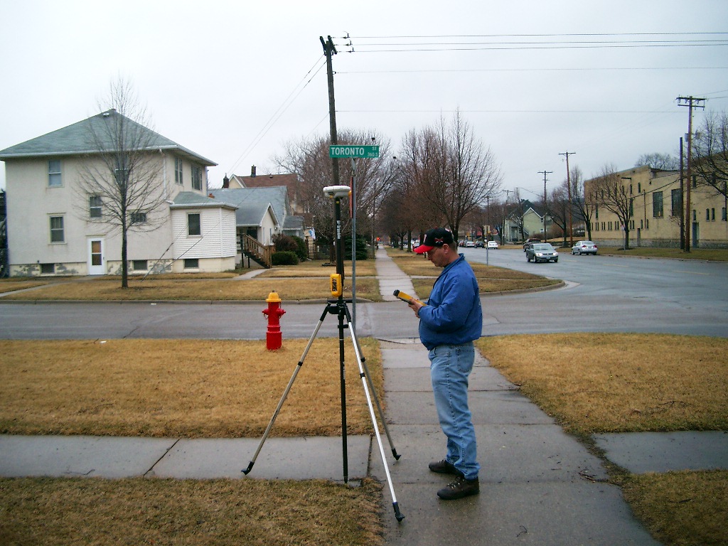
| 2492-0192-6.jpg | March 30, 2005 | Looking South along Toronto St. |
| 2492-0192-5.jpg | March 30, 2005 | Looking East along Jefferson Ave. |
| 2492-0192-4.jpg | March 30, 2005 | Looking Northwesterly. |
| 2492-0192-2.jpg | March 30, 2005 | Close-up of GM. |