| NAD83 COORDINATES (1986 adj.): |
|---|
| X= 572701.020 Y= 150942.848 Z= 000.00 LSQ 01/13/1994 FLT |
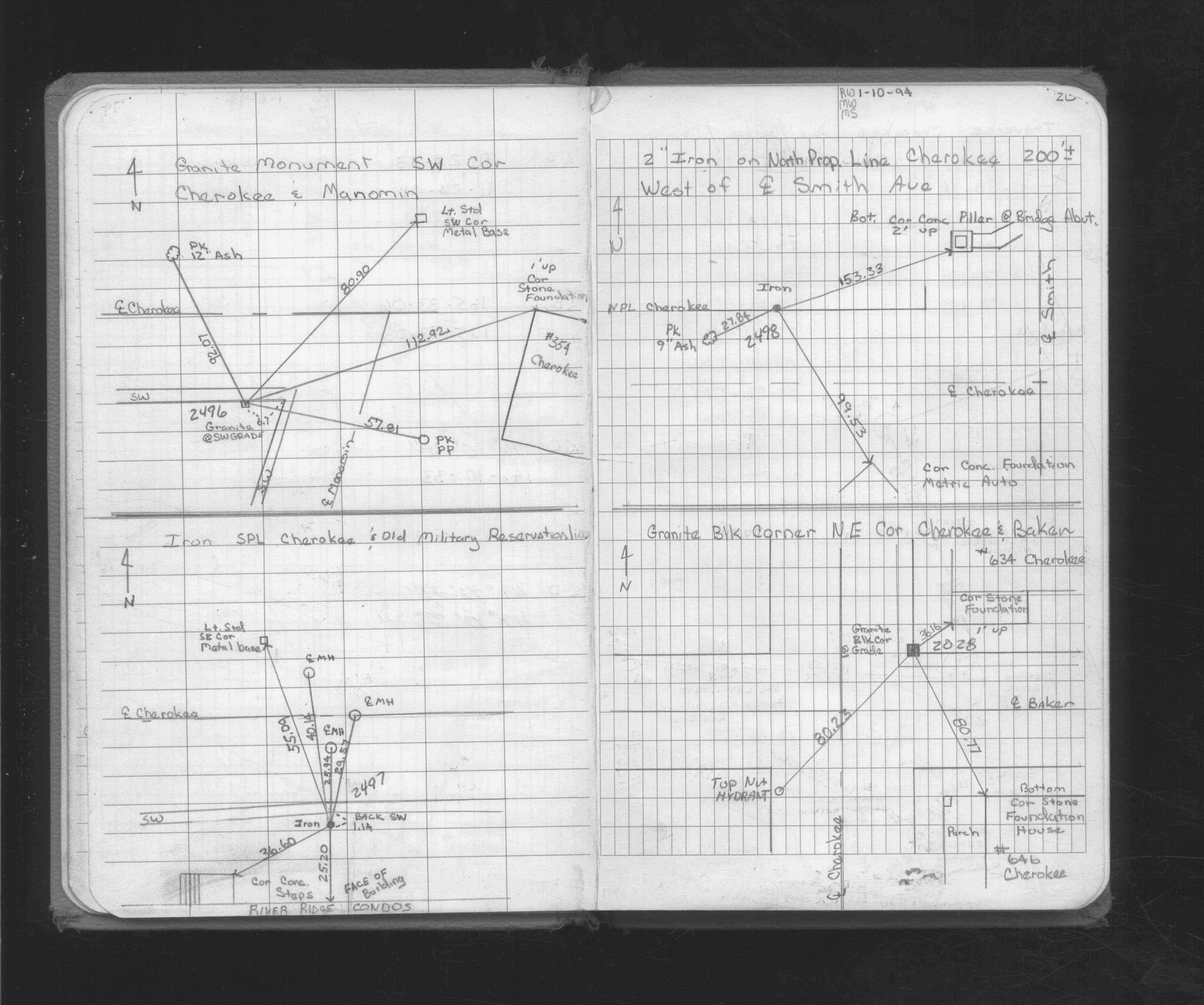
| 1/5/1994 | Fd 2" Dia iron, placed ties. See FB 1716 p.20 |
Above is NOT an all inclusive history of this point. Please review all the links below.
| PLS NOTES | Field | Cross Section | Sewer | J.B. Irvine | Monument | River Survey |
|---|---|---|---|---|---|---|
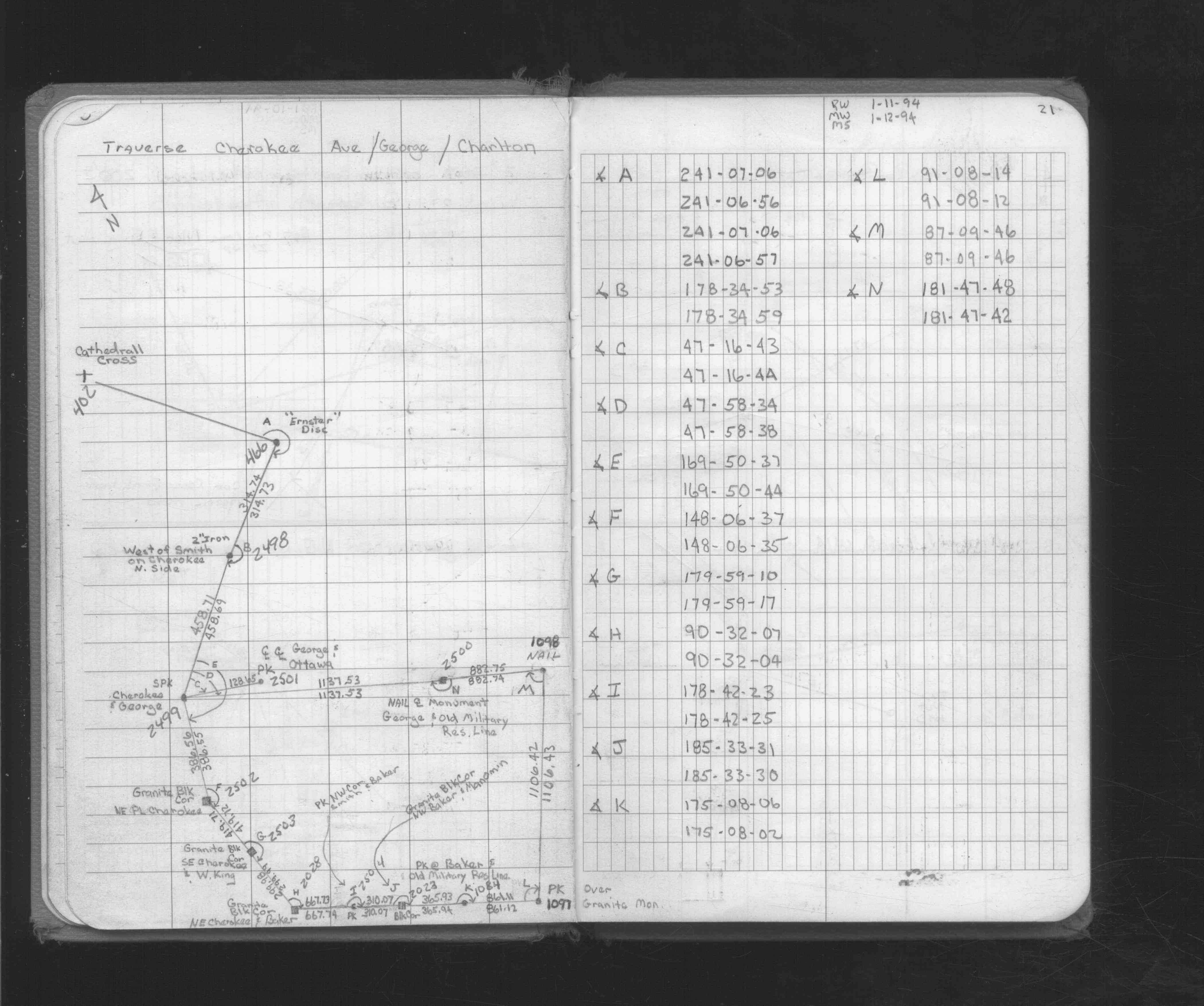
| FB 1716p.20 | ||||||
| FB 1716p. 20 ,21 |