| NAD83 COORDINATES (1986 adj.): |
|---|
| X= 573534.886 Y= 150610.467 Z= 000.00 LSQ 01/13/1994 FLT |
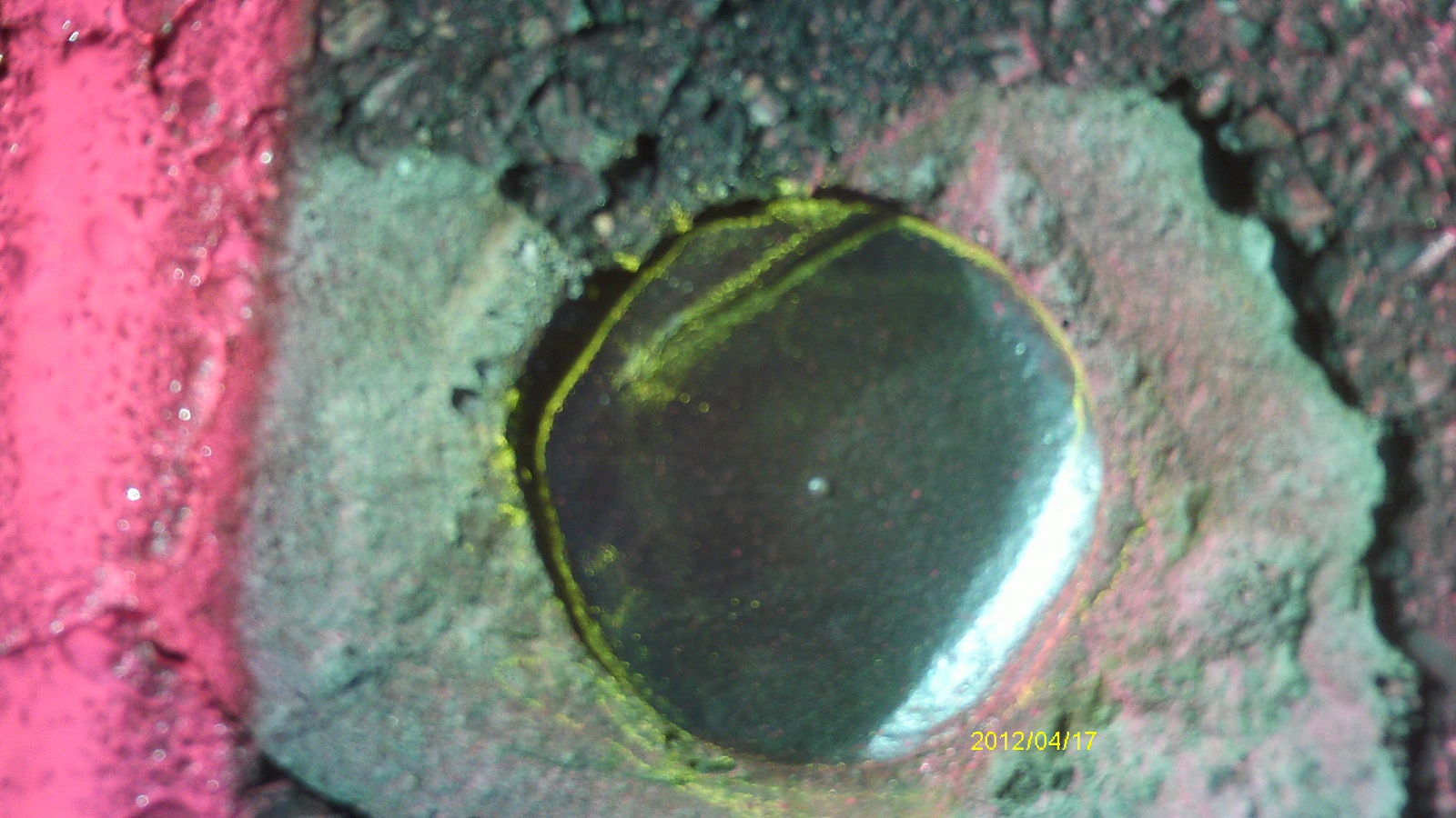
| 4/17/2012 | Found CIM just above street grade. Photos taken. |
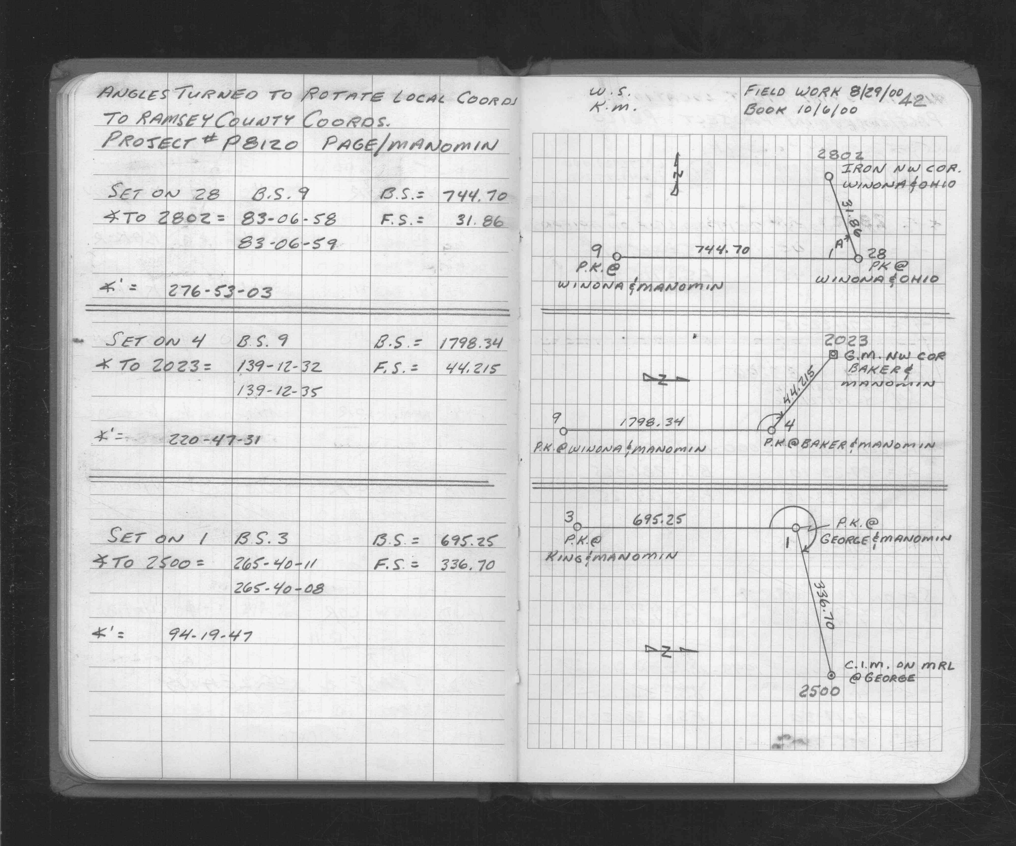
| 8/29/2000 | Located CIM by traverse (single stub). See FB 1730 p.42 |
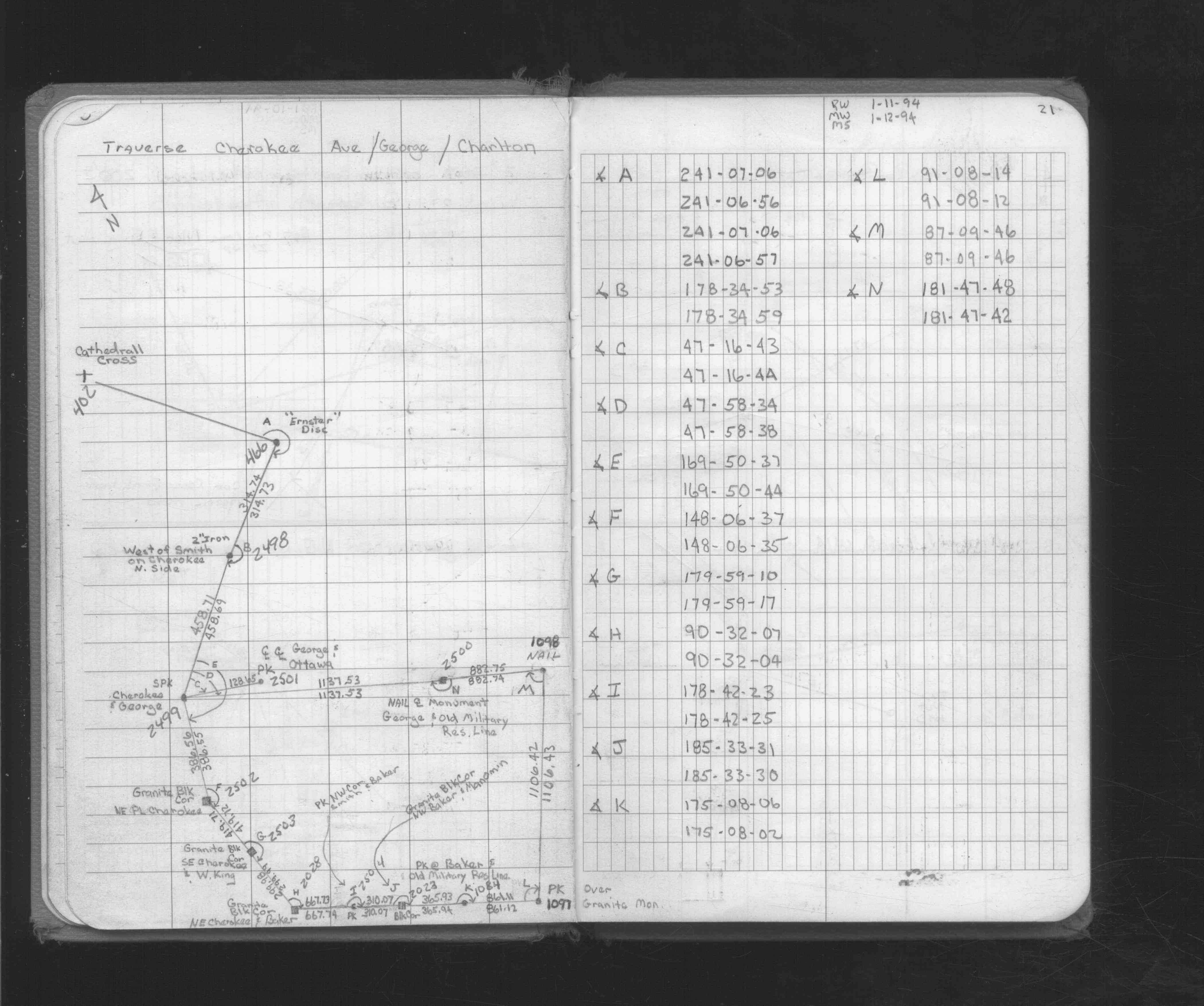
| 1/11/1994 | Nail recovered & traversed through. See FB 1716 p.21 |
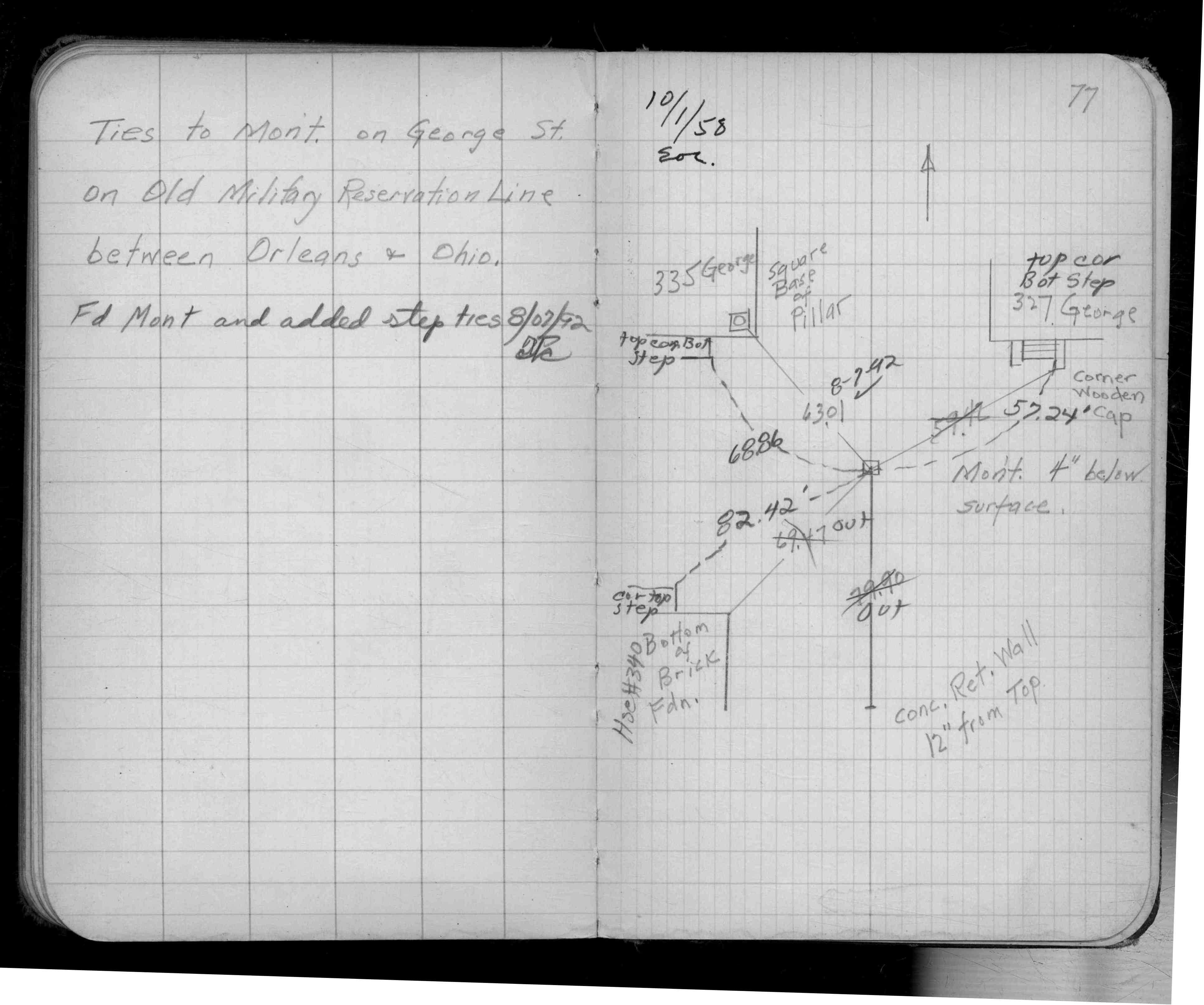
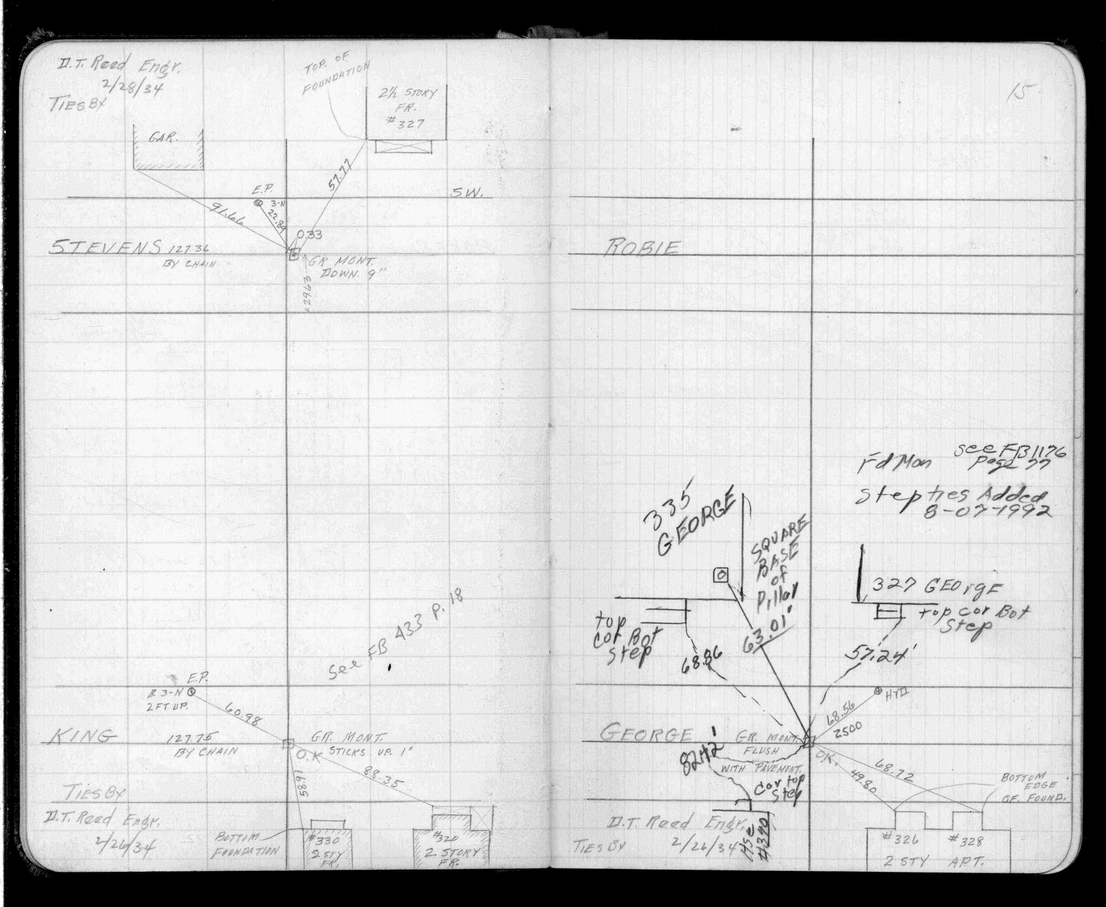
| 8/7/1992 | Updated ties. See FB 1176 p.77 |
| 10/1/1958 | Placed ties. See FB 1176 p.77 |
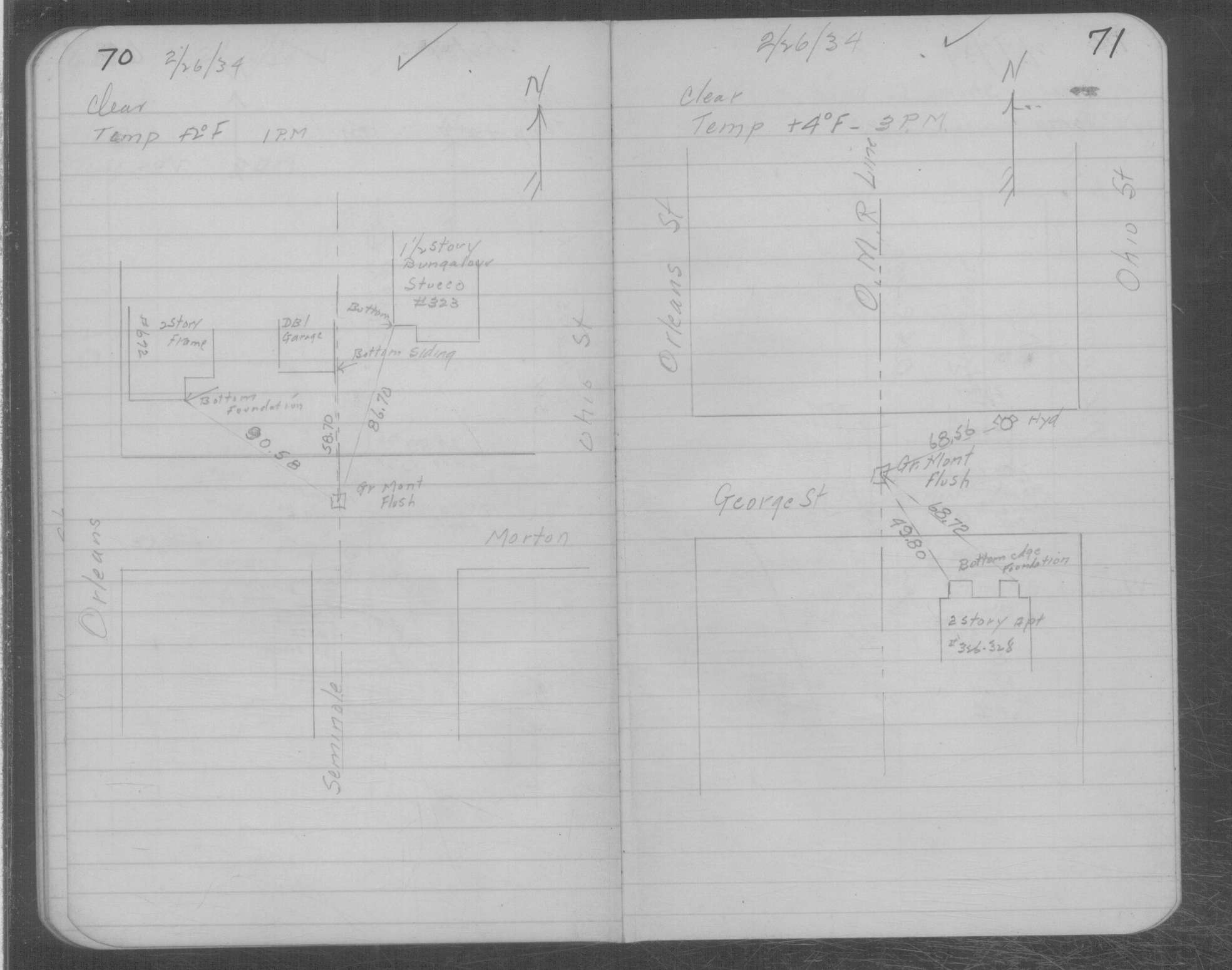
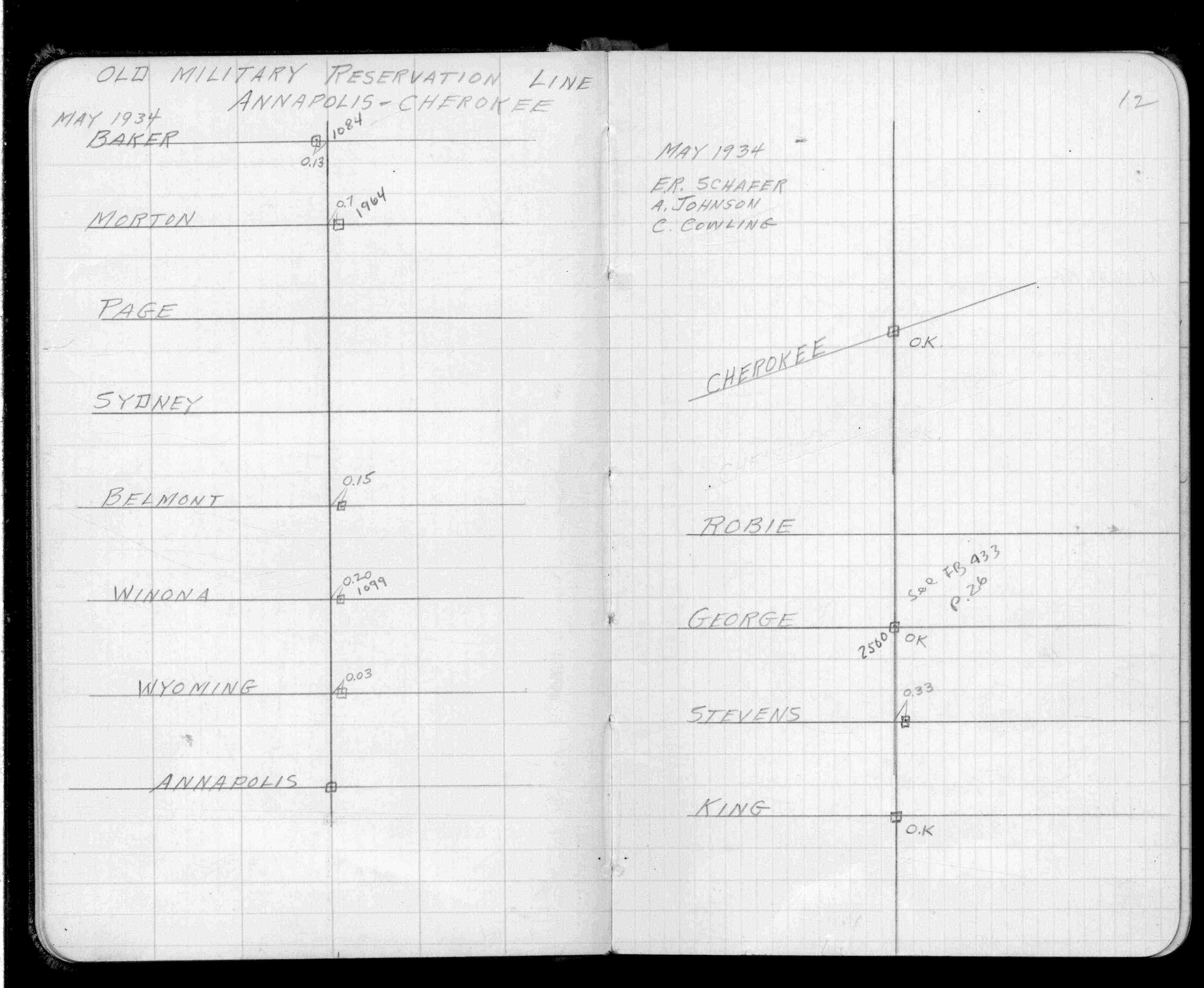
| 2/26/1934 | Placed ties on GM at grade. See MSX 1 p.70-71 |
| 2/26/1934 | Fd GM at grade, placed ties. See FB 1504 p.15 |
| 10/31/1890 | Monument set by J H Armstrong |
| 1/1/1890 | (Unknown date ___ __, 1890 ) See JBI 17 p.77-78 |
Above is NOT an all inclusive history of this point. Please review all the links below.
| PLS NOTES | Field | Cross Section | Sewer | J.B. Irvine | Monument | River Survey |
|---|---|---|---|---|---|---|
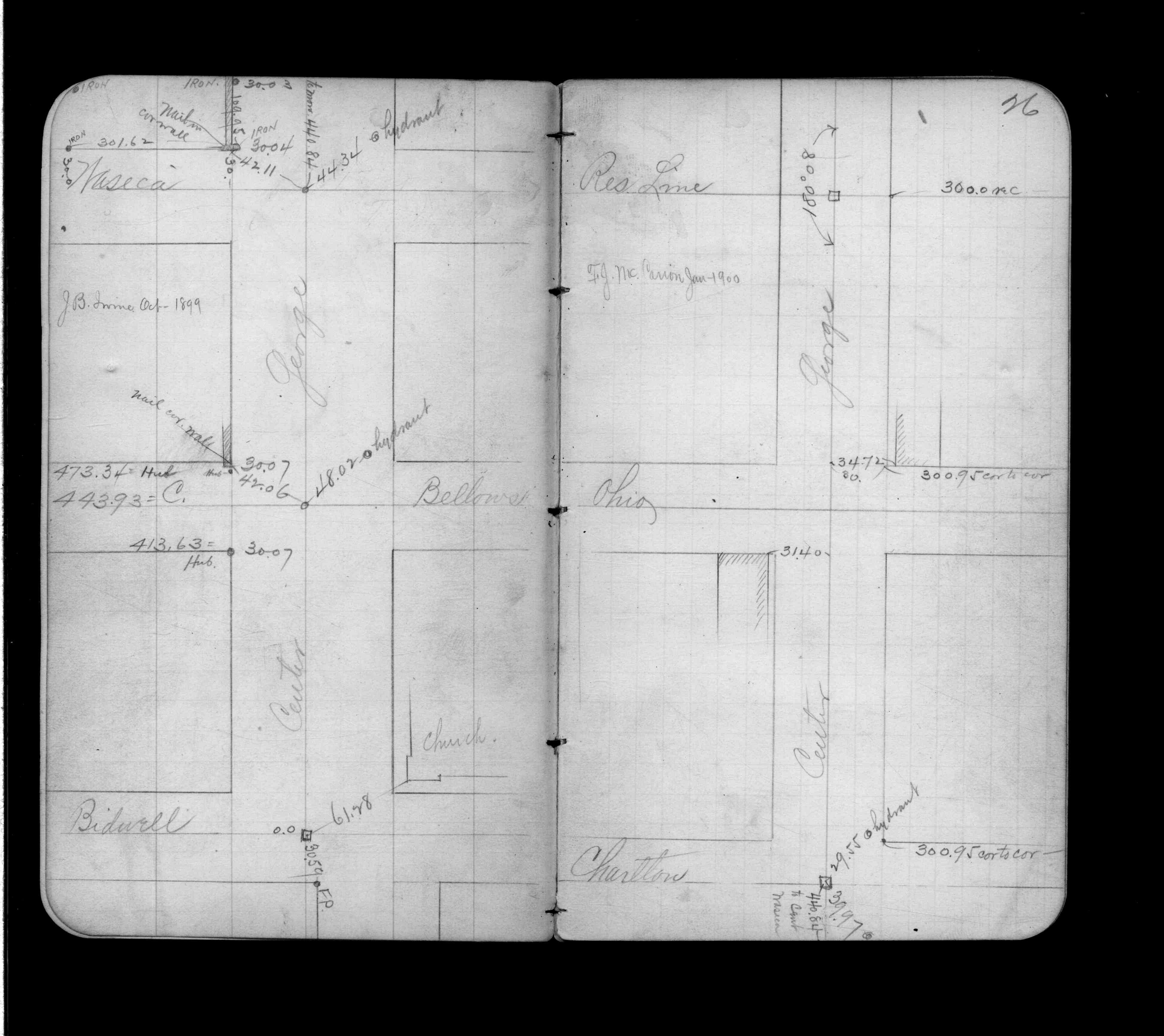
| FB 0433p.26 | JBI 17 p.77-78 | MSX 0001 p.070-071 | ||||
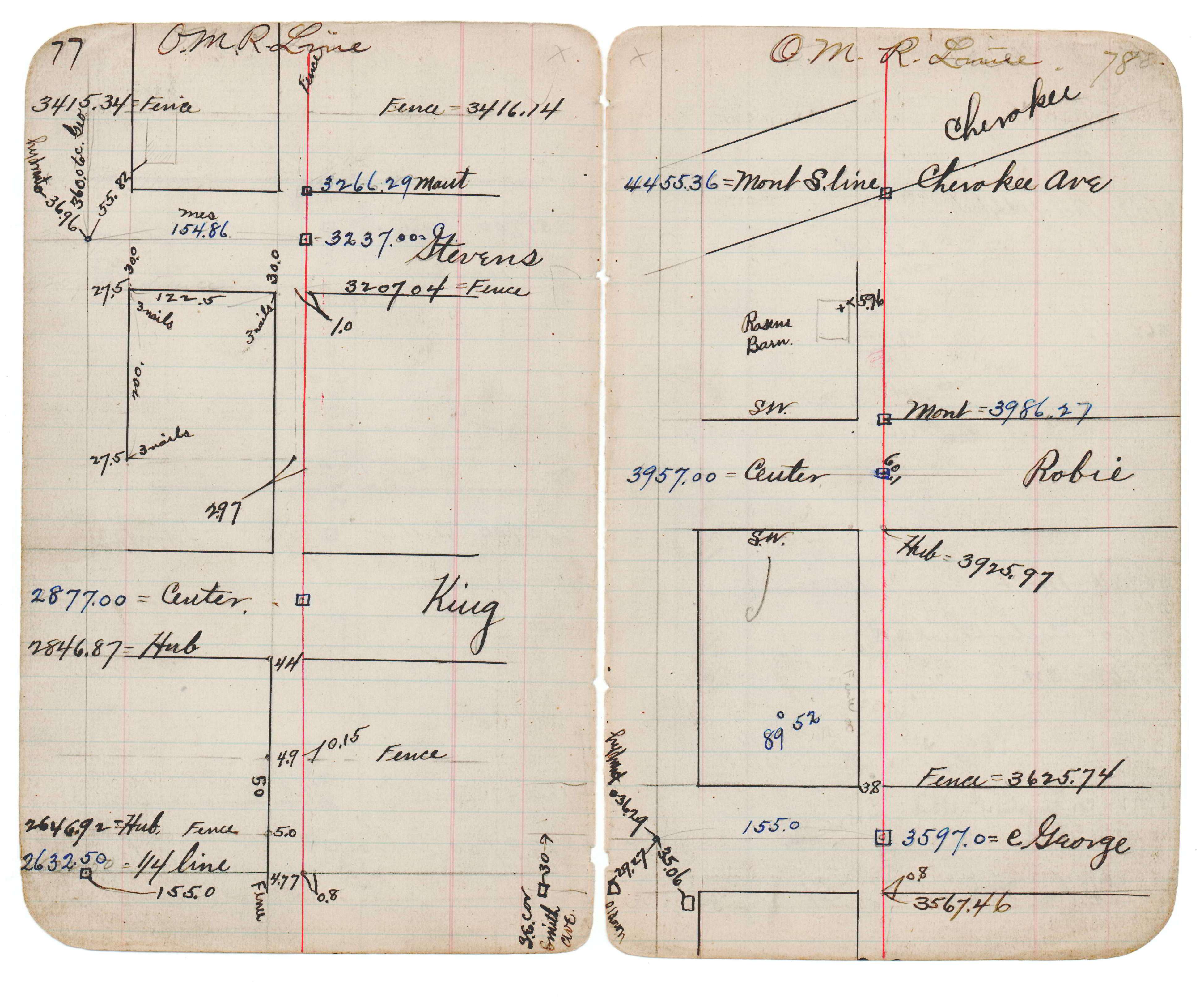
| FB 1176p.77 | ||||||
| FB 1504p. 12 ,15 | ||||||
| FB 1504p.15 | ||||||
| FB 1716p.21 | ||||||
| FB 1716p.21 | ||||||
| FB 1730p.42 | ||||||
| FB 1730p.42 |
| FILE | PHOTO DATE | COMMENTS |
|---|---|---|
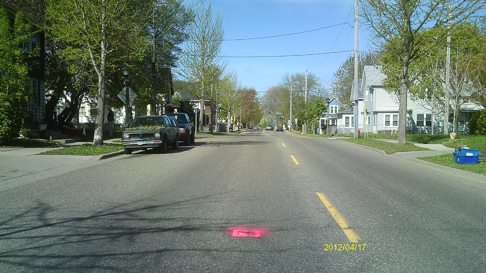
| 2500-2025-5.jpg | April 17, 2012 | Looking west along George St. |
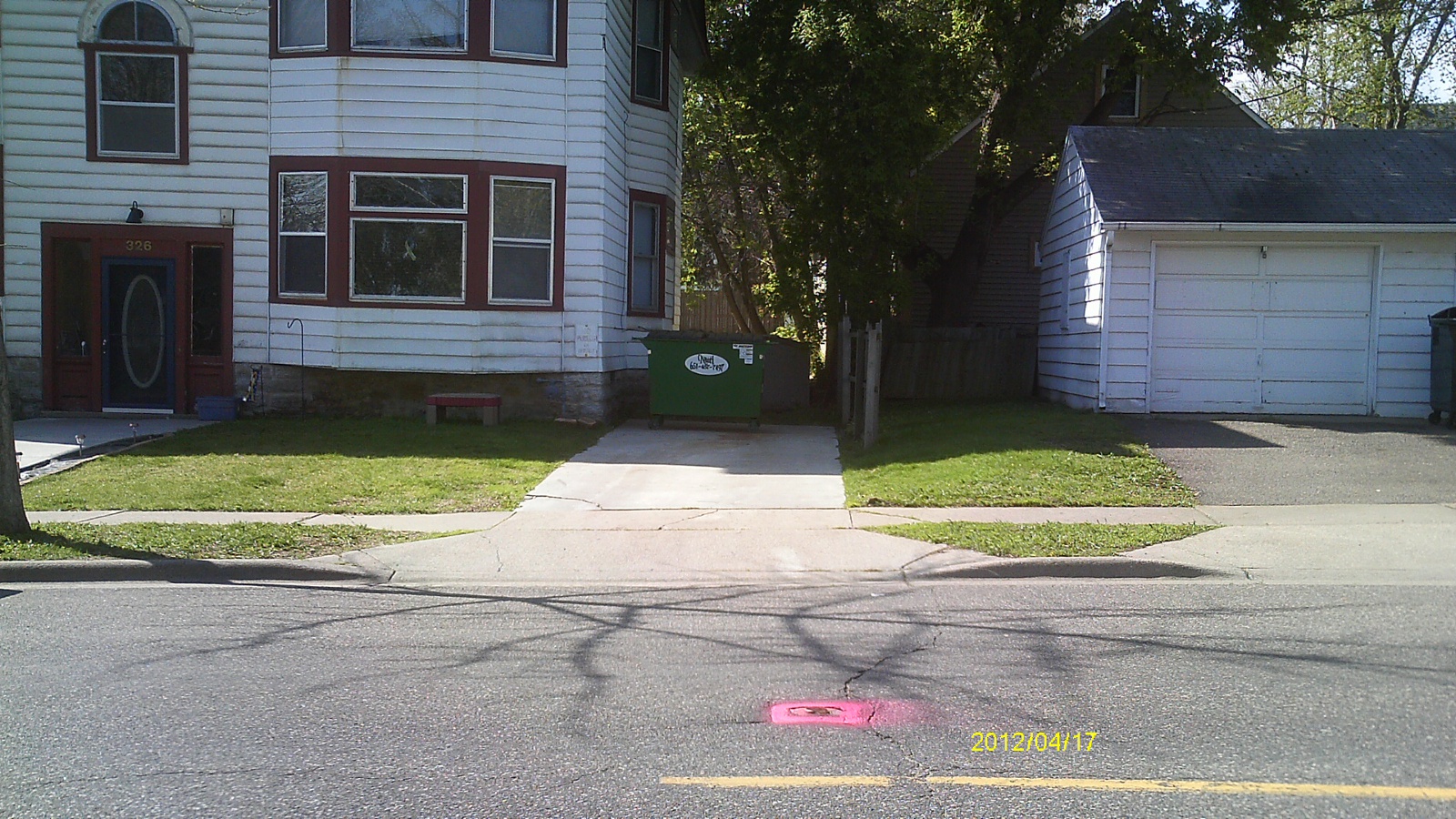
| 2500-2025-4.jpg | April 17, 2012 | Looking south. |
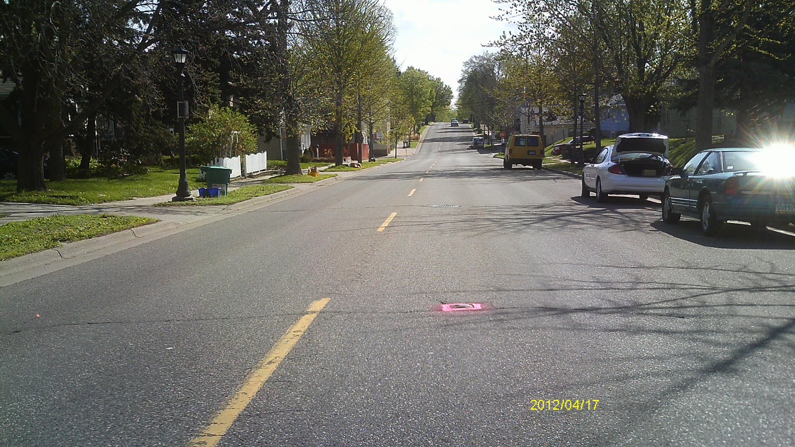
| 2500-2025-3.jpg | April 17, 2012 | Looking east along George St. |
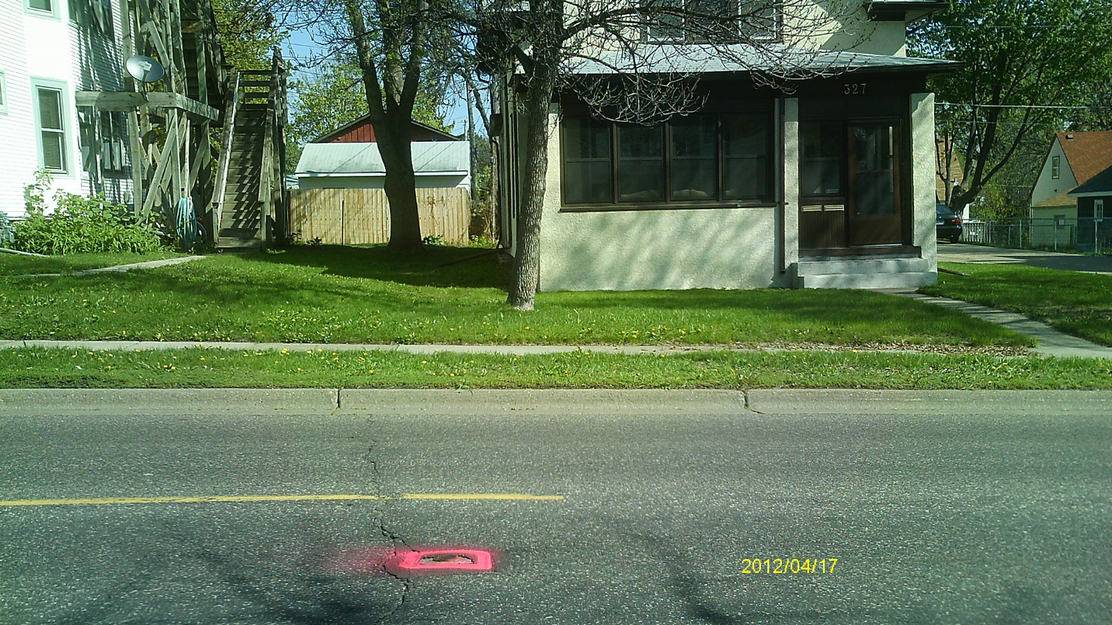
| 2500-2025-2.jpg | April 17, 2012 | Looking north. |
| 2500-2025-1.jpg | April 17, 2012 | Close up of monument. |