| NAD83 COORDINATES (1986 adj.): |
|---|
| X= 572388.163 Y= 151086.543 Z= 000.00 |
| X= 572388.209 Y= 151085.989 Z= 000.00 CMP 12/17/1991 |
| X= 572388.215 Y= 151086.534 Z= 707.567 4/6/2012 RTK-VRS |
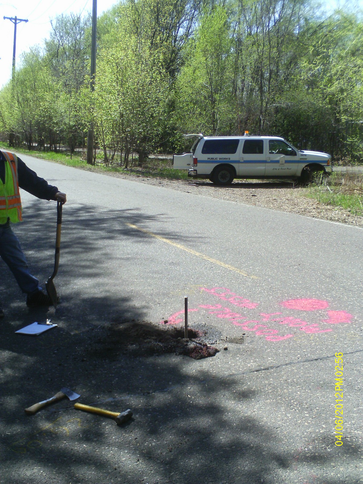
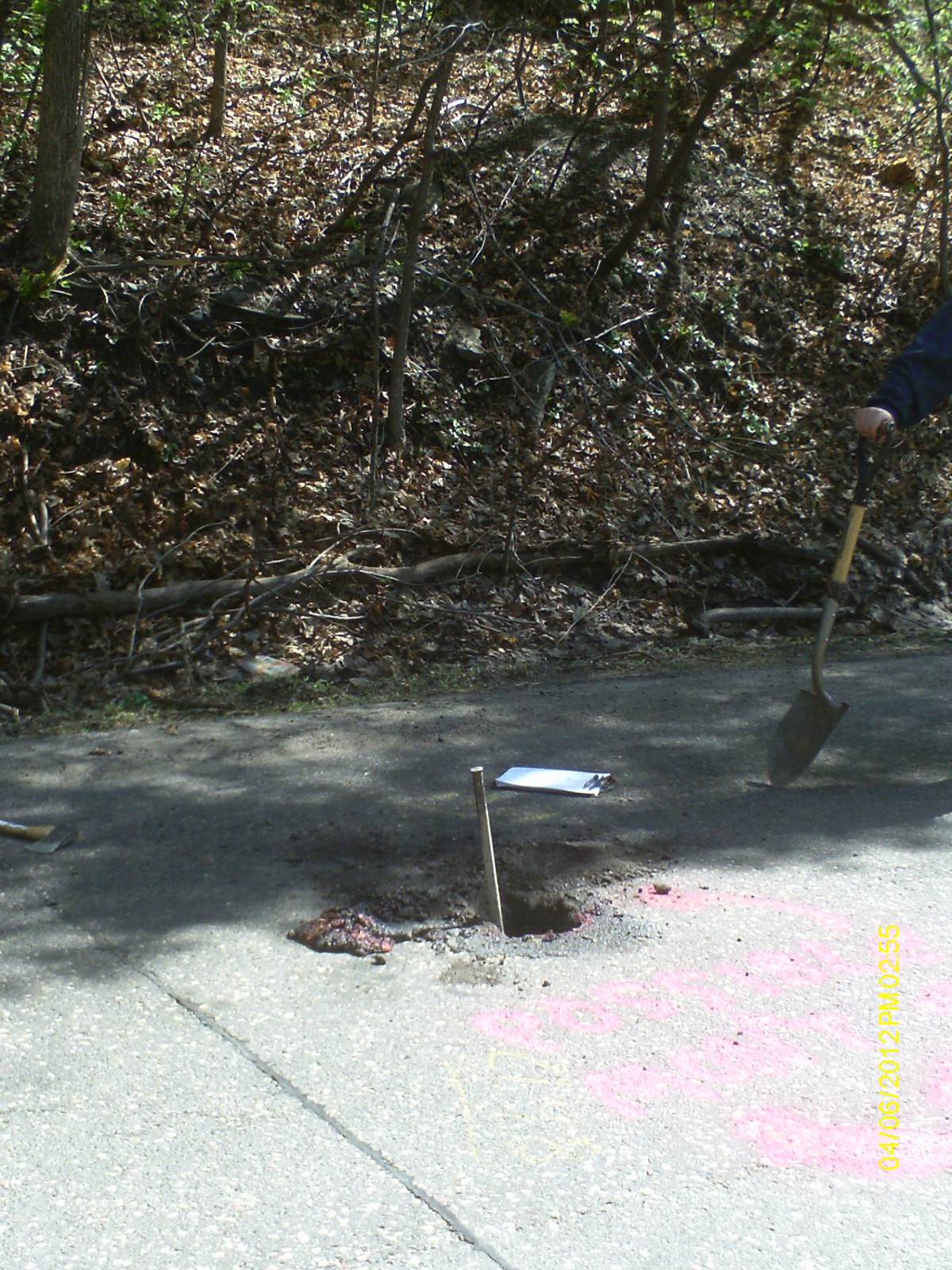
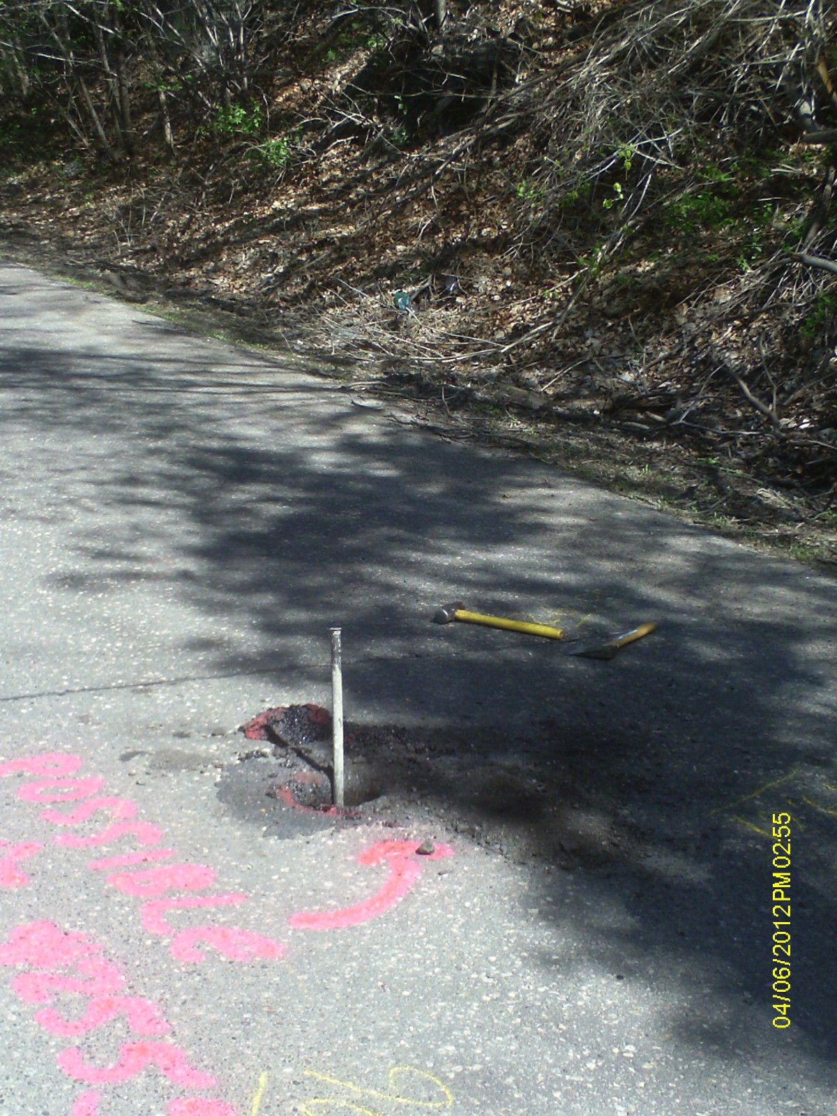
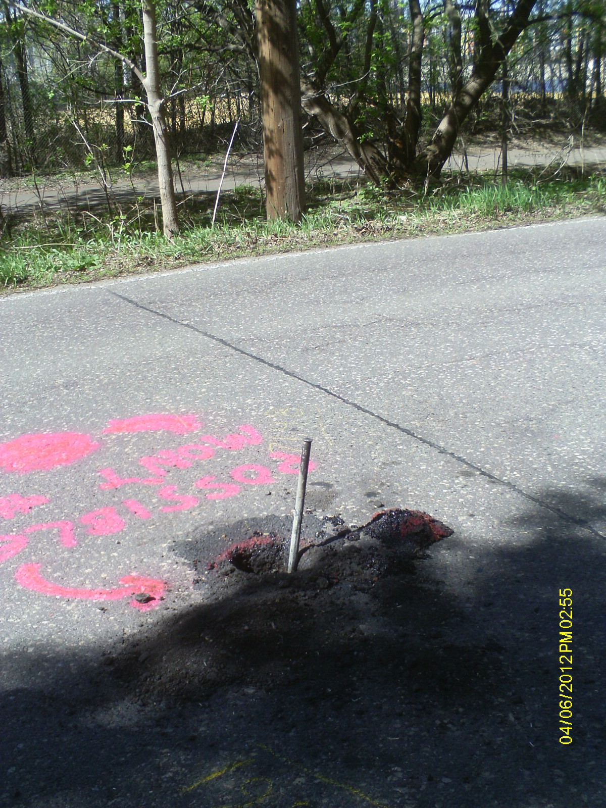
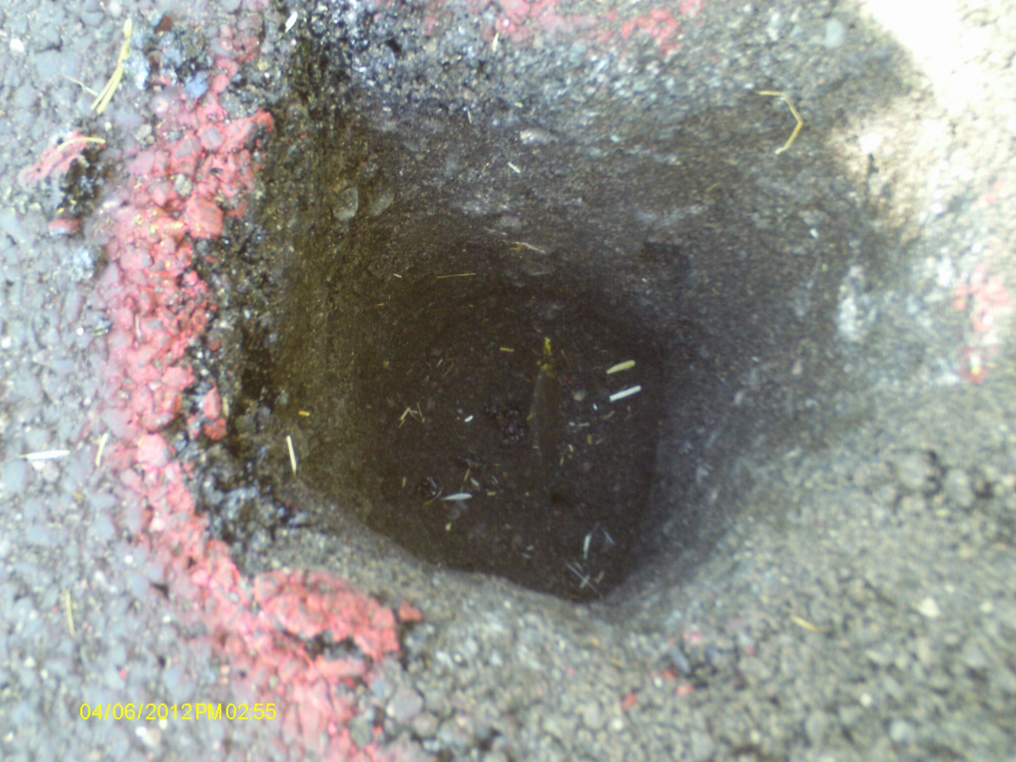
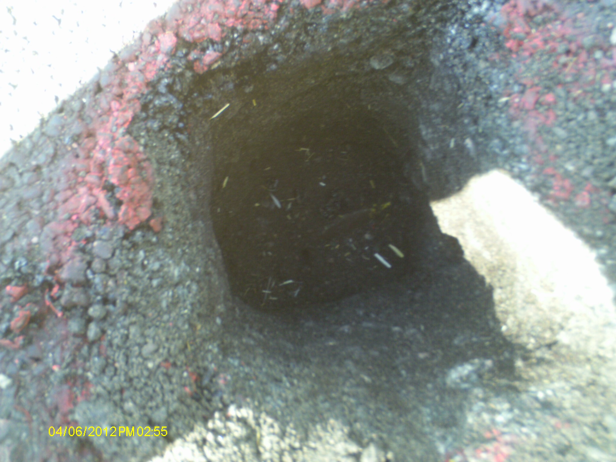
| 4/6/2012 | Found IP 0.9 ft below street grade. Iron was 4' in diameter and pinched at top, with a "V" notch marking the center. Position established using RTK-VRS GPS. Elev. 13.47 ft. Photos taken and ties placed using Trimble S6. |
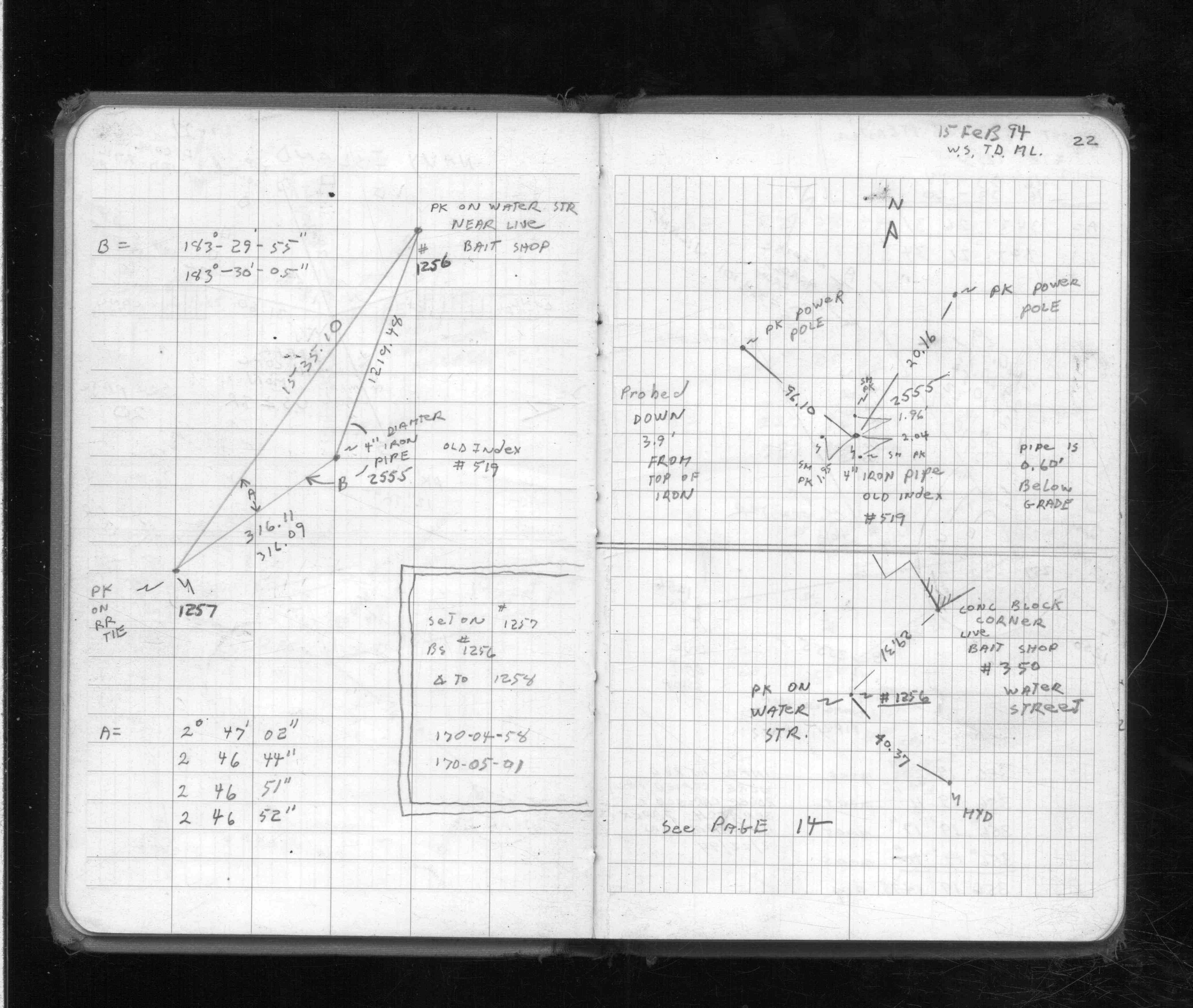
| 2/15/1994 | Placed 2 ties on 4" dia pipe 0.60 ft below grade. See FB 1713 p.22 |
| 1/1/1953 | (Unknown date ___ __, 1953 ) Corps of Engs recovered Std C. of E. brass cap at black top grade. |
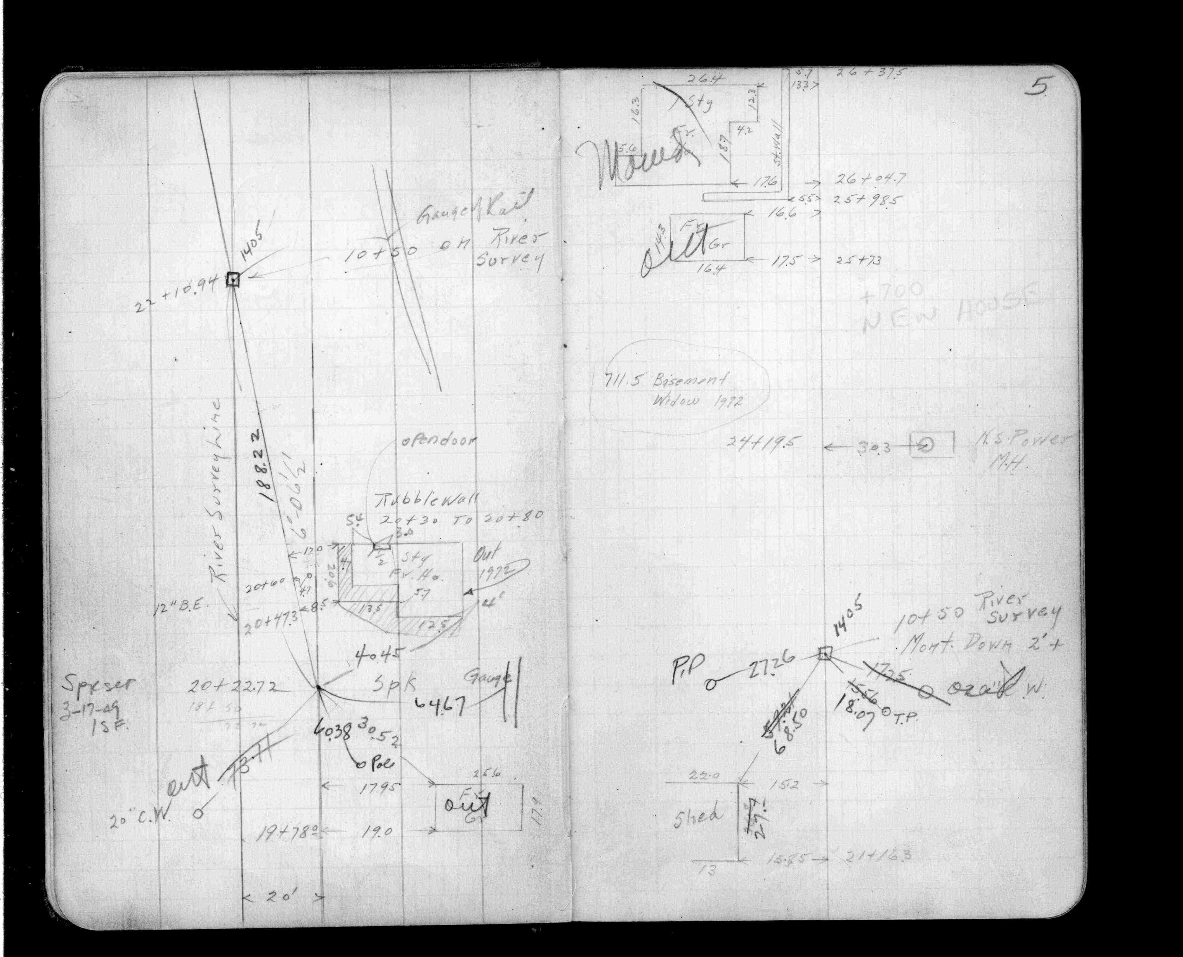
| 5/1/1919 | (Unknown date May __, 1919 ) Placed ties. See FB 325 p.63 |
| 12/18/1899 | Monument reset by F J McCarron |
Above is NOT an all inclusive history of this point. Please review all the links below.
| PLS NOTES | Field | Cross Section | Sewer | J.B. Irvine | Monument | River Survey |
|---|---|---|---|---|---|---|
| FB 0325p.63 | 1885 p.014-015 | |||||
| FB 0325p.63 | ||||||
| FB 0677p. 38 ,39 | ||||||
| FB 1198Bp.05 | ||||||
| FB 1713p.22 | ||||||
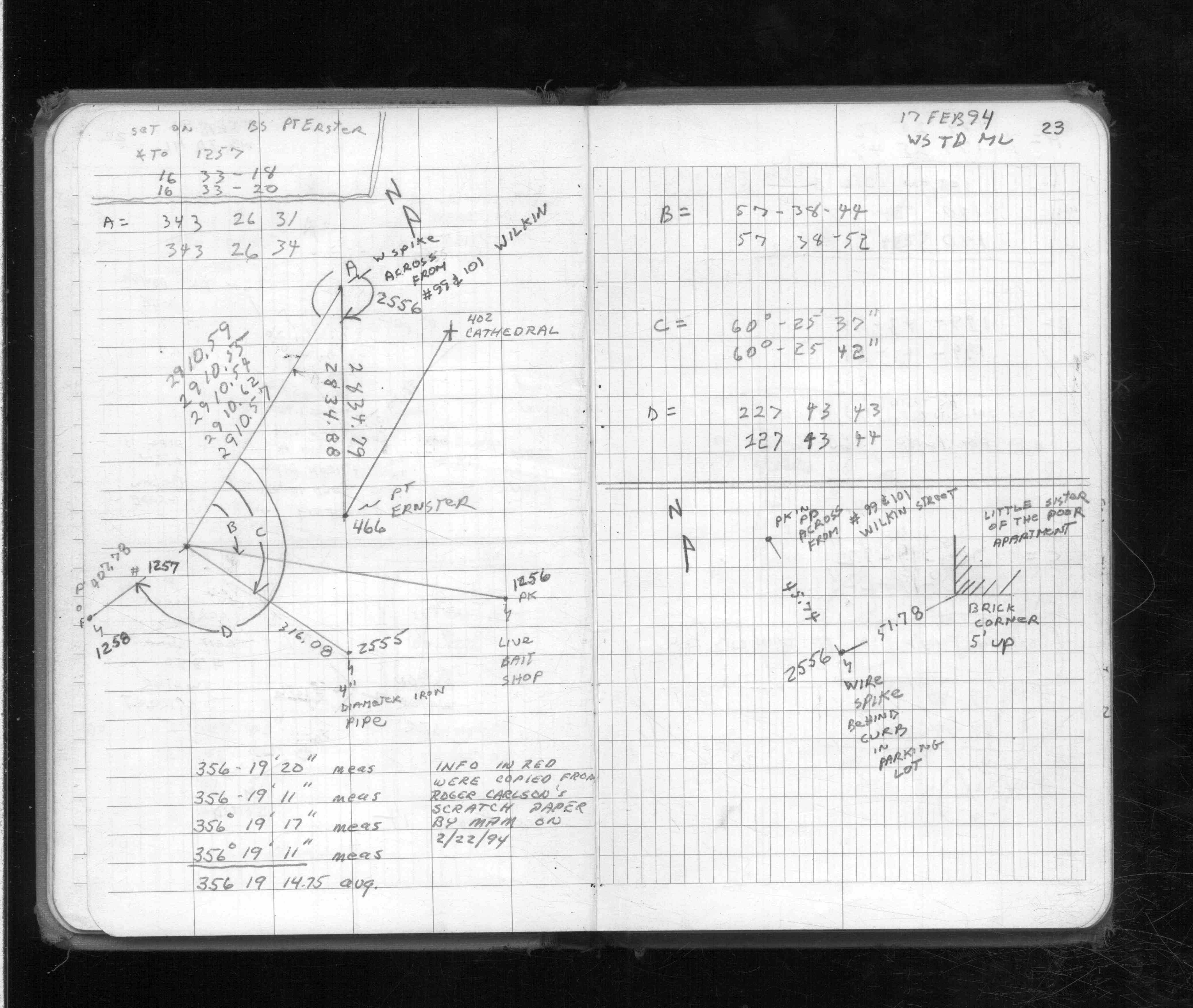
| FB 1713p. 22 ,23 |
| FILE | SURVEYOR | LIC. NO. | DATE SIGNED | DATE TIED |
|---|---|---|---|---|
| 2555-0519-A.pdf | Samuel D. Gibson | 44880 | August 31, 2012 | April 16, 2012 |
| FILE | PHOTO DATE | COMMENTS |
|---|---|---|
| 2555-0519-6.jpg | April 6, 2012 | Looking west along Water St. |
| 2555-0519-5.jpg | April 6, 2012 | Looking south toward bluff. |
| 2555-0519-4.jpg | April 6, 2012 | Looking east along Water St. |
| 2555-0519-3.jpg | April 6, 2012 | Looking north toward river. |
| 2555-0519-2.jpg | April 6, 2012 | Close up of monument. |
| 2555-0519-1.jpg | April 6, 2012 | Close up of monument. |