| NAD83 COORDINATES (1986 adj.): |
|---|
| X= 565449.499 Y= 147588.975 Z= 784.90 04/24/2006 RTK-VRS |
| X= 565449.408 Y= 147588.997 Z= 000.00 LSQ 11/04/1994 STB |
| 8/19/2008 | Placed ties on GM .2 below surface, placed casting cover over it. |
| 12/27/2006 | Fd GM at grade and tied. See CofL 2632-1361-B |
| 4/24/2006 | Position on GM established by RTK-VRS GPS Elev 784.9 ft |
| 4/19/2006 | Fd GM at grade. Photos taken. |
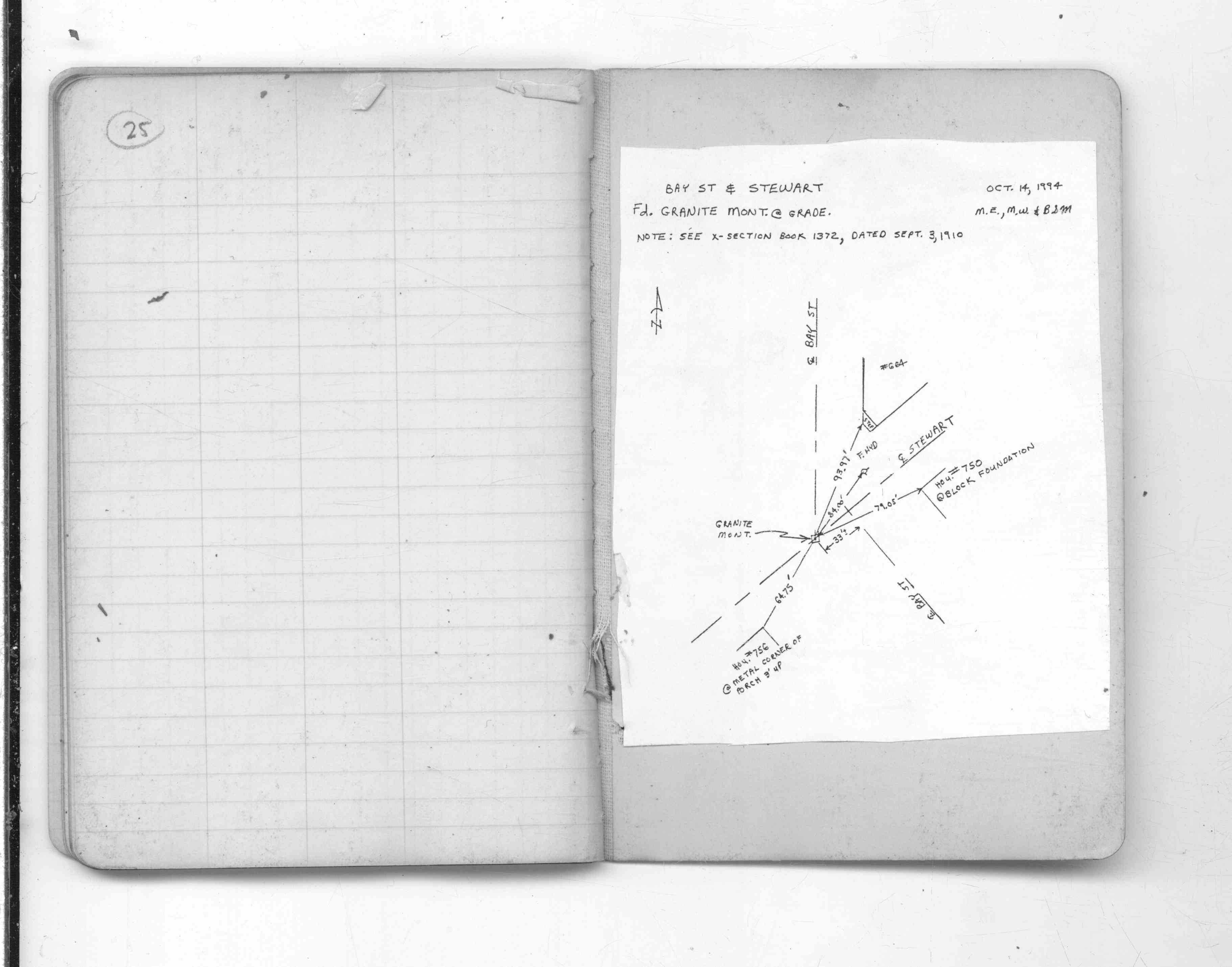
| 10/14/1994 | Placed ties on GM. See CS 1372 p.25 |
| 10/14/1994 | Fd GM at grade and tied. See CofL 2632-1361-A |
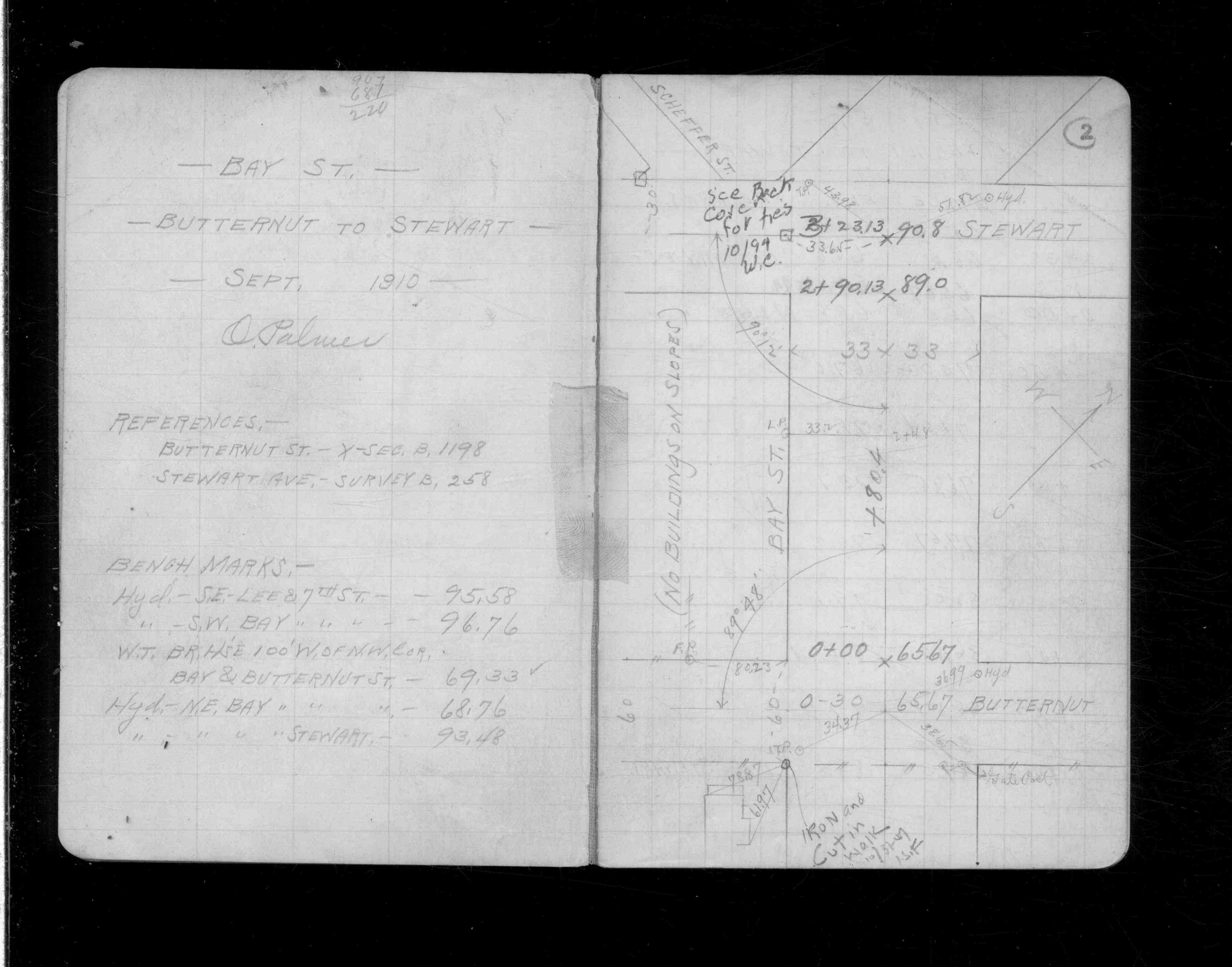
| 9/3/1910 | See CS 1372 p.2 |
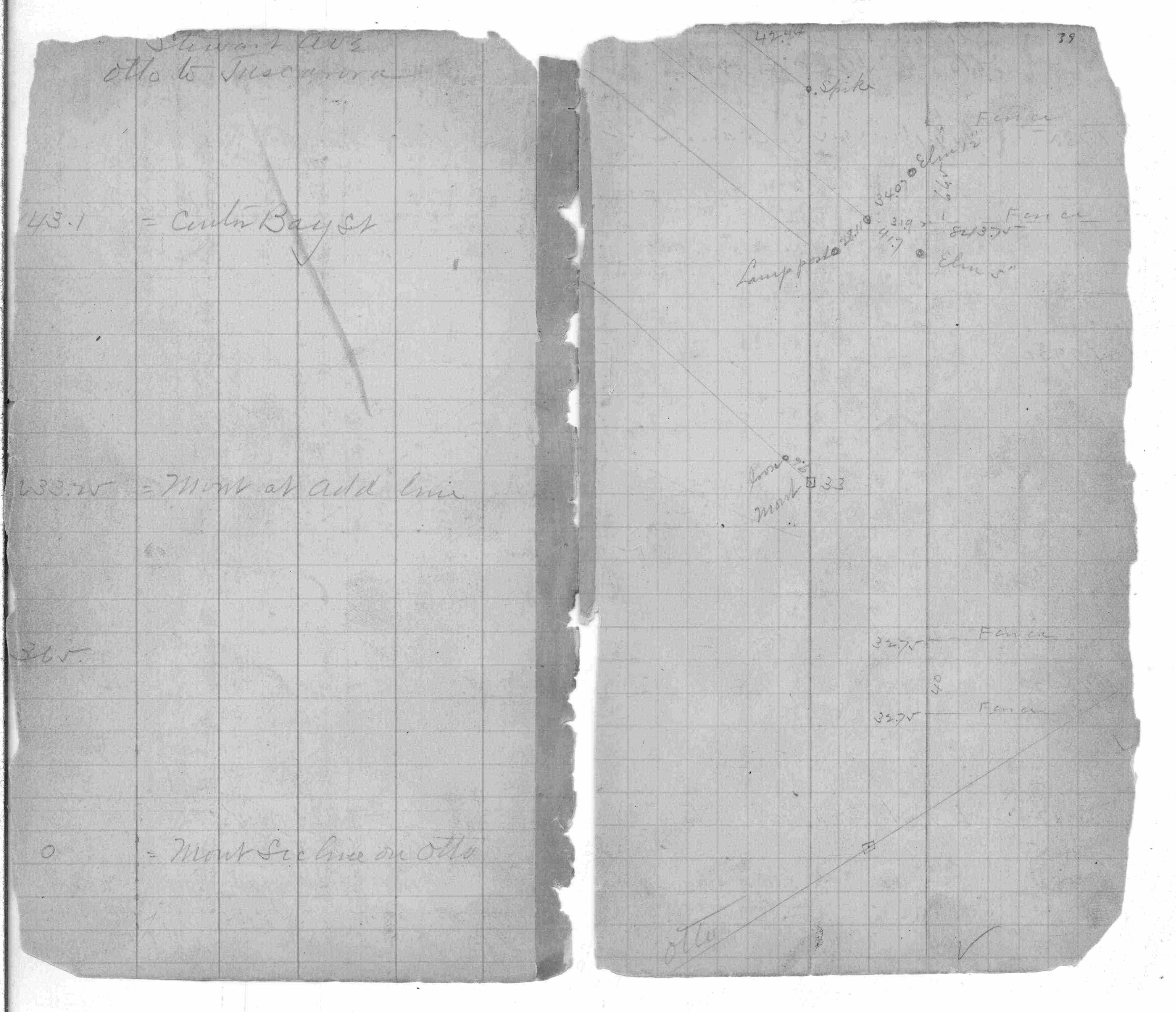
| 7/17/1888 | Monument set by J H Armstrong. See FB 258 p.39 |
Above is NOT an all inclusive history of this point. Please review all the links below.
| PLS NOTES | Field | Cross Section | Sewer | J.B. Irvine | Monument | River Survey |
|---|---|---|---|---|---|---|
| FB 0258p.39 | CS 1372p.02 | |||||
| FB 1565Bp.35 | CS 1372p.25 |
| FILE | SURVEYOR | LIC. NO. | DATE SIGNED | DATE TIED |
|---|---|---|---|---|
| 2632-1361-A.pdf | Samuel D. Gibson | 44880 | August 26, 2008 | August 19, 2008 |
| 2632-1361-B.tif | none | none | none | December 27, 2006 |
| 2632-1361-A.tif | none | none | none | October 14, 1994 |
| FILE | PHOTO DATE | COMMENTS |
|---|---|---|
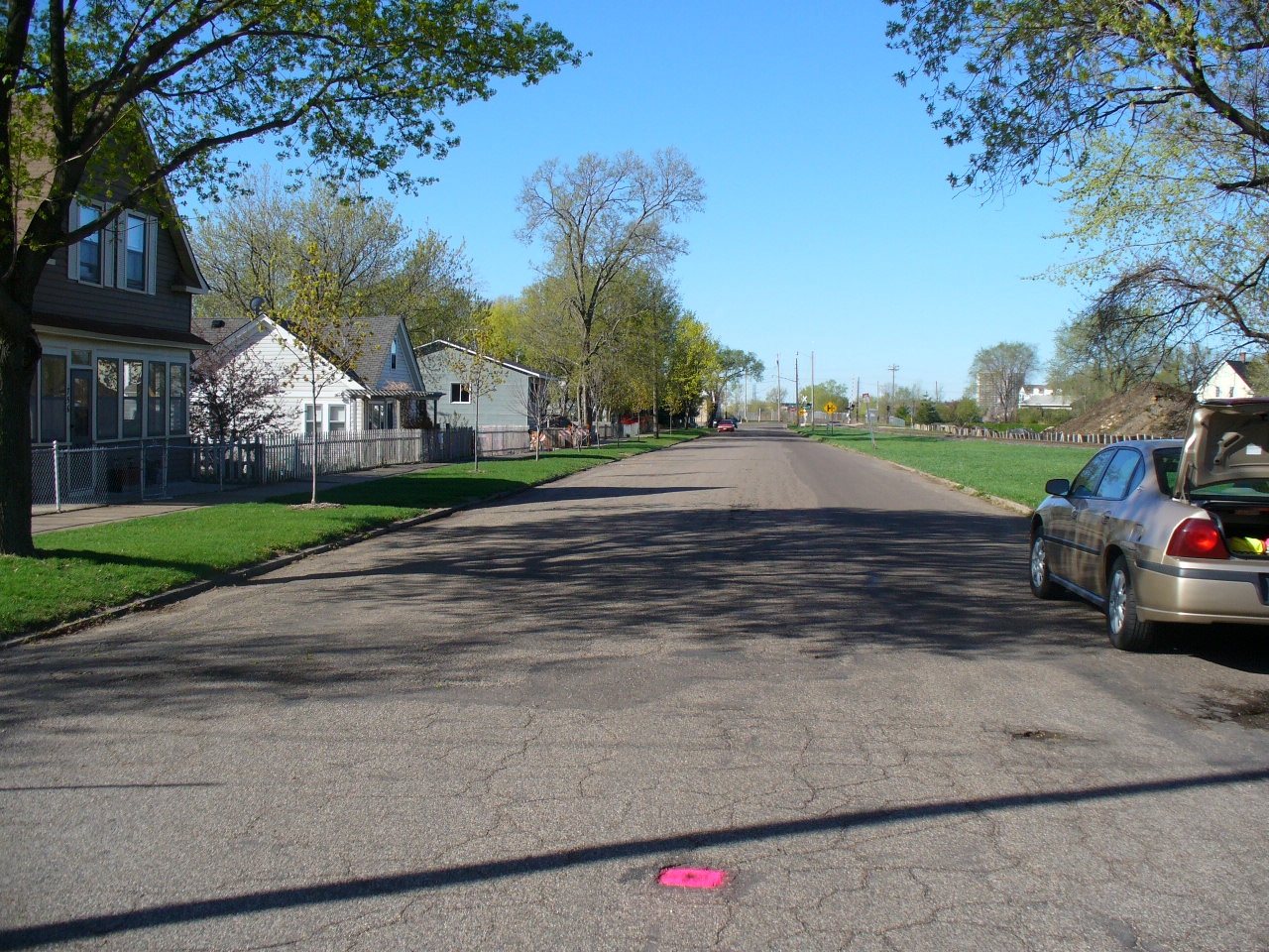
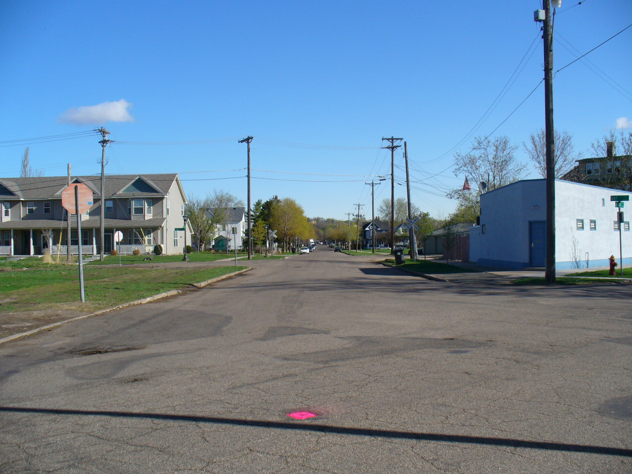
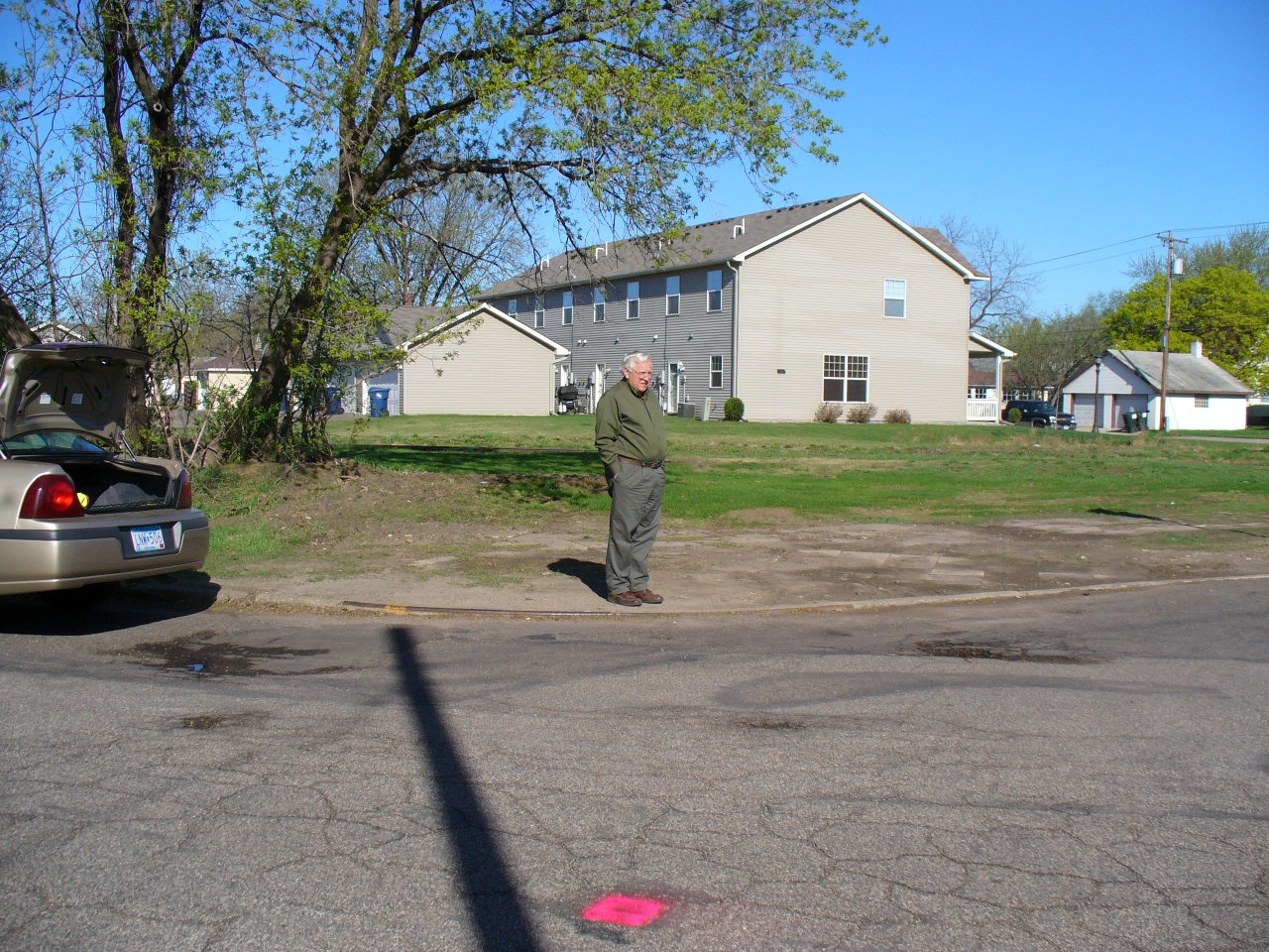
| 2632-1361-8.jpg | April 19, 2006 | Looking Southwesterly along the center of Stewart Ave. at Bay St. |
| 2632-1361-7.jpg | April 19, 2006 | Looking South from Bay St. & Stewart Ave. |
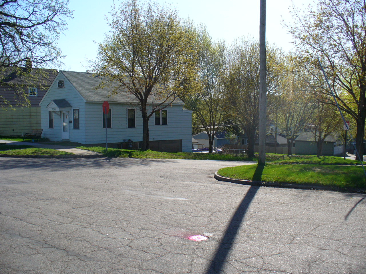
| 2632-1361-6.jpg | April 19, 2006 | Looking Easterly from Bay St. & Stewart Ave. |
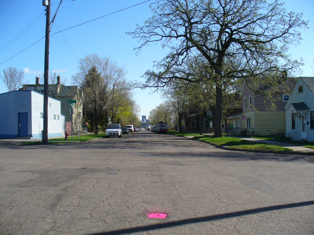
| 2632-1361-4.jpg | April 19, 2006 | Looking Northerly along the center of Bay St. at Stewart Ave. |
| 2632-1361-3.jpg | April 19, 2006 | Looking Northeasterly along Stewart Ave. from West of Bay St. |
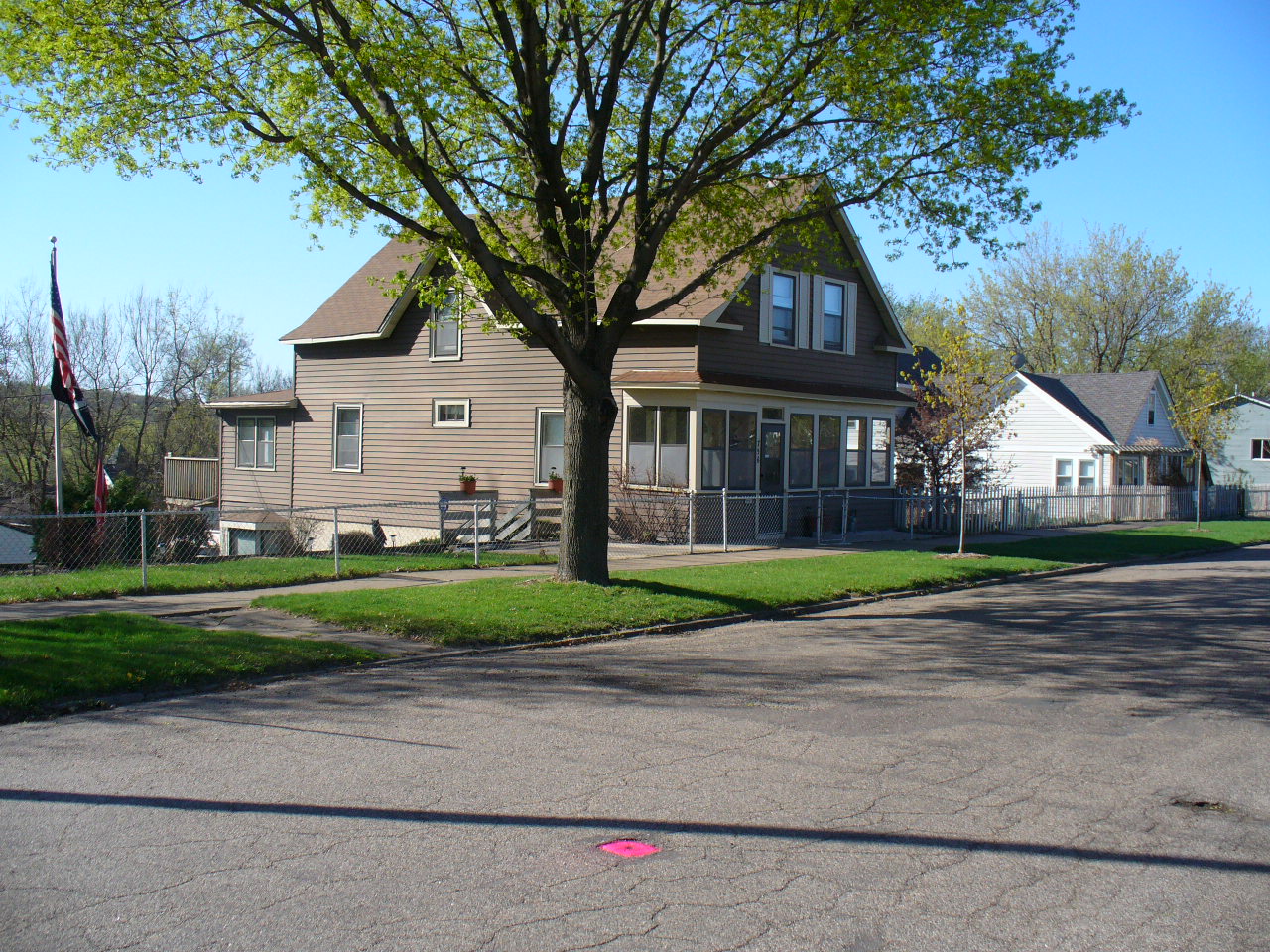
| 2632-1361-10.jpg | April 19, 2006 | Looking at Northwesterly from Stewart Ave. & Bay St. |
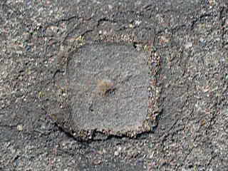
| 2632-1361-1.jpg | April 19, 2006 | Close-up of the granite monument. |